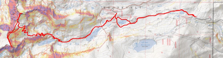
RT Length: 19.63 miles
Elevation Gain: 3728’
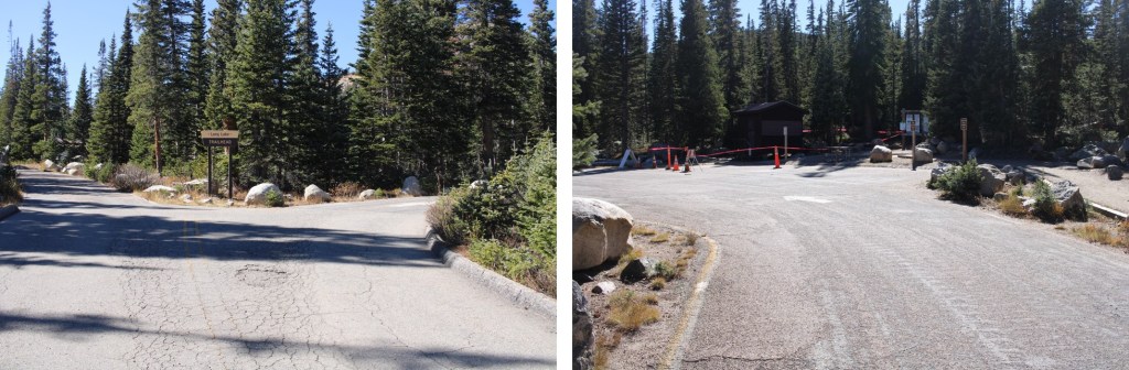
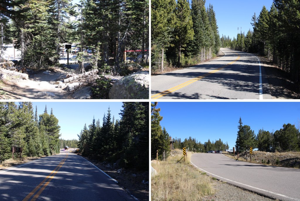
Imagine my surprise when I was heading towards the Long Lake trailhead, only to find the entire area was closed a the Brainard Lake entrance station. While I’d known the permit system ended October 15 (yay!!!) I’d not heard they planned to lock the gate as well. Have I mentioned I’m not a fan of the permit system? In any event, I parked in the winter lot, and was on my way at 5:15am.

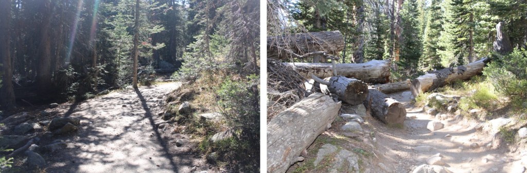
I walked for 3.1 miles west, on a snow-free, dry, and clear paved road, to the Long Lake trailhead.


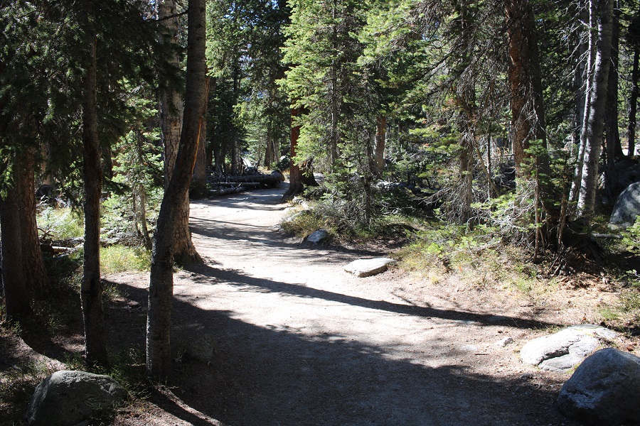
Now on the trail, I followed it west. This is a very well-marked, class 1 trail, all the way to Pawnee Pass.
There are several junctions. I went right at each one. First to follow the Pawnee Pass trail.
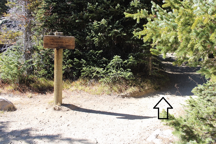
The second to also keep following the Pawnee Pass Trail

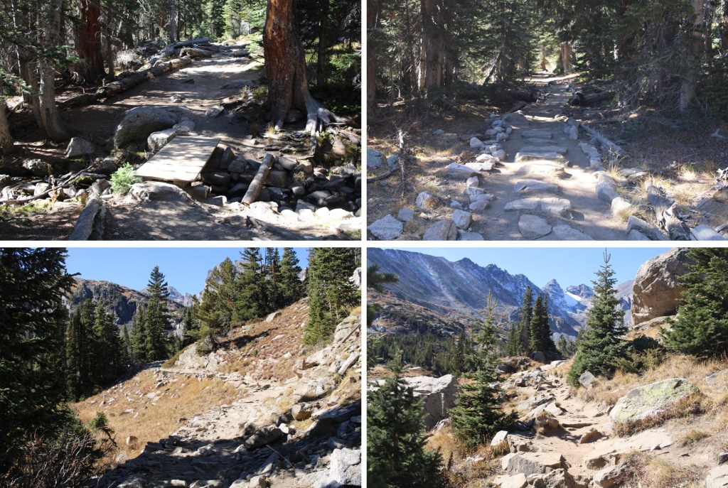
And the third time, just before making it to Lake Isabelle, to also keep following the Pawnee Pass Trail.
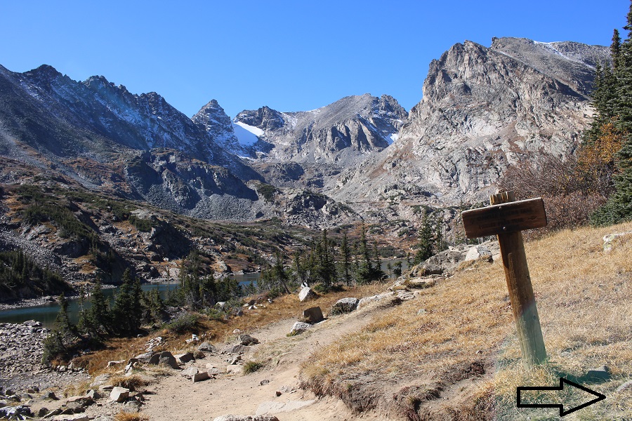
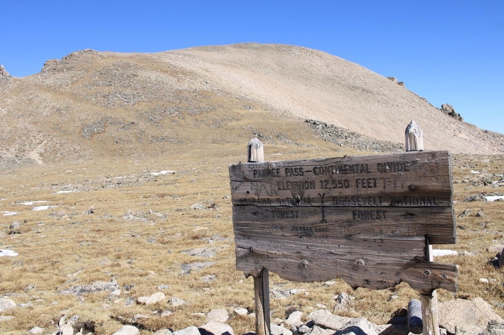
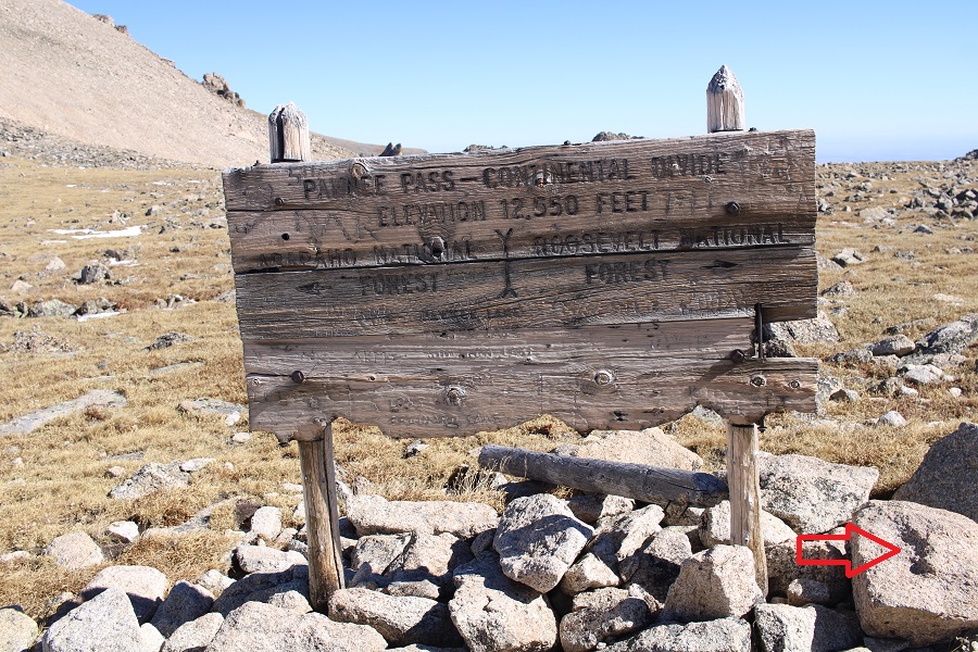
I followed the Pawnee Pass Trail almost all the way to Pawnee Pass
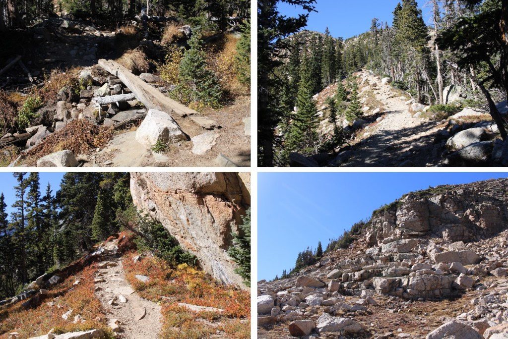

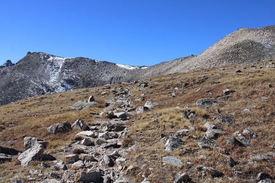
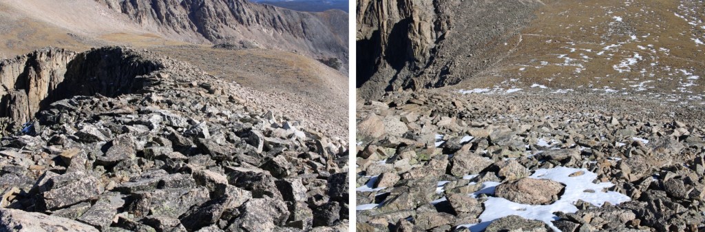
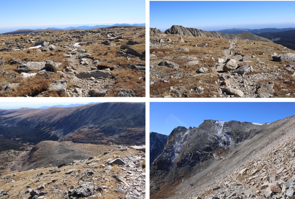
At 12530’ I left the Pawnee Pass trail, and headed southwest towards the saddle of Shoshoni and Paswhoni
This was straightforward, class 2 rock hopping.
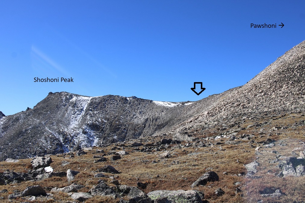
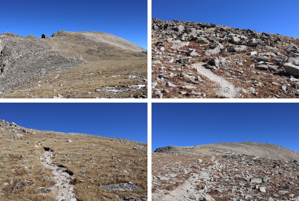
When I made it to the saddle I turned left, and followed the ridge south towards Shoshoni Peak

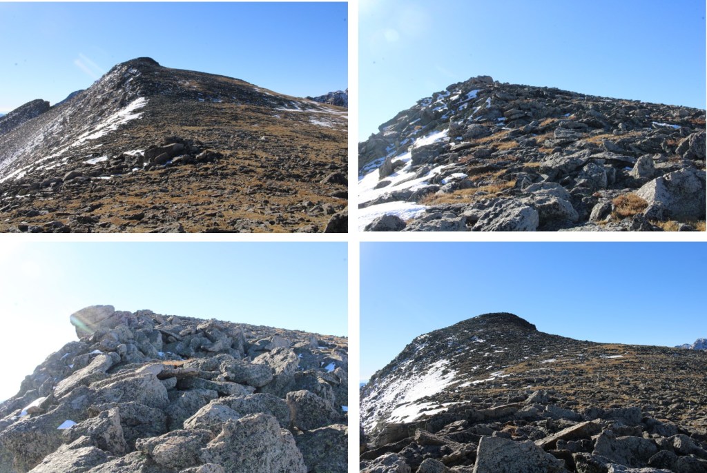
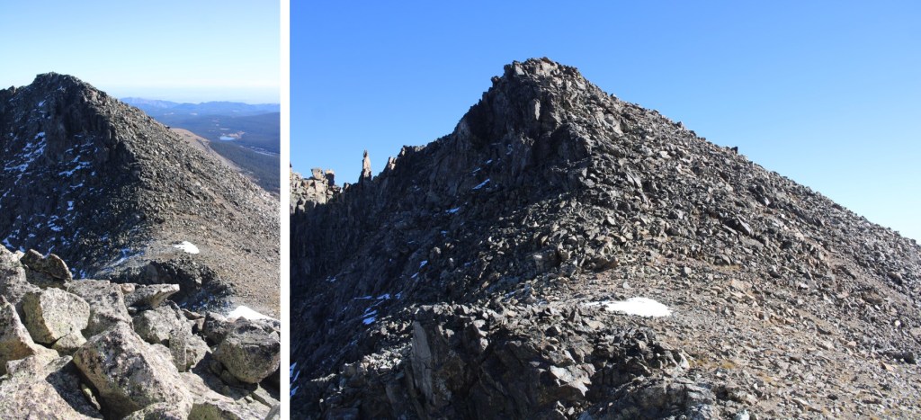
When I got to what I thought was the peak, I saw this
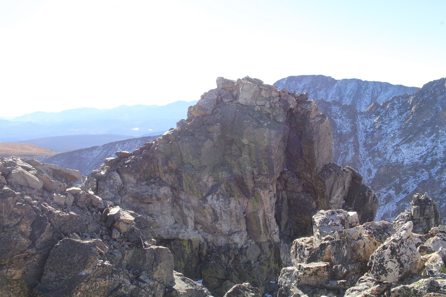
Not sure which was the actual peak, where I was standing or the outcropping in front of me, I decided to climb up the rocks, just to be sure. This was class 3 climbing. I ascended on the left
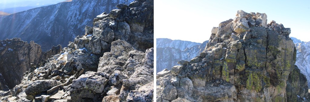
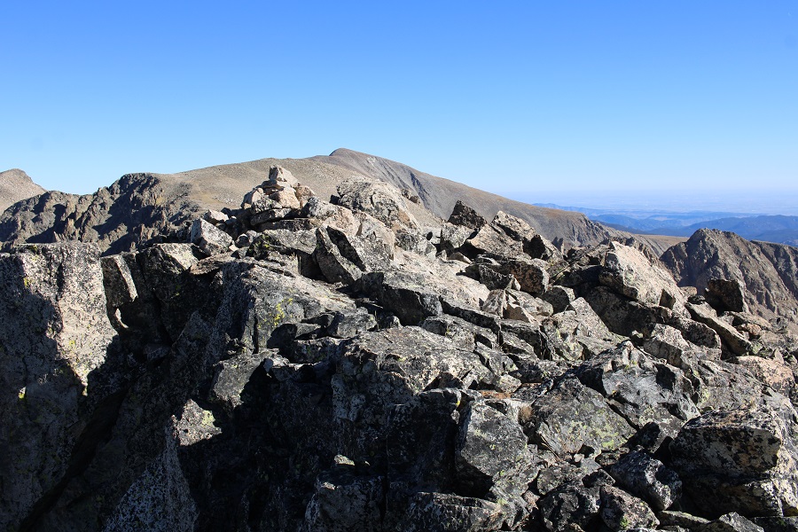
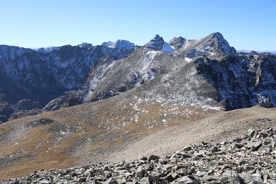
At the summit, the views of Navajo and Apache were amazing
I summited Shoshoni Peak at 9:45am
Shoshoni Peak:
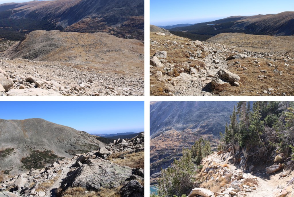
I climbed back down, and retraced my steps to the Shoshoni/Pawshoni saddle on class 2 terrain
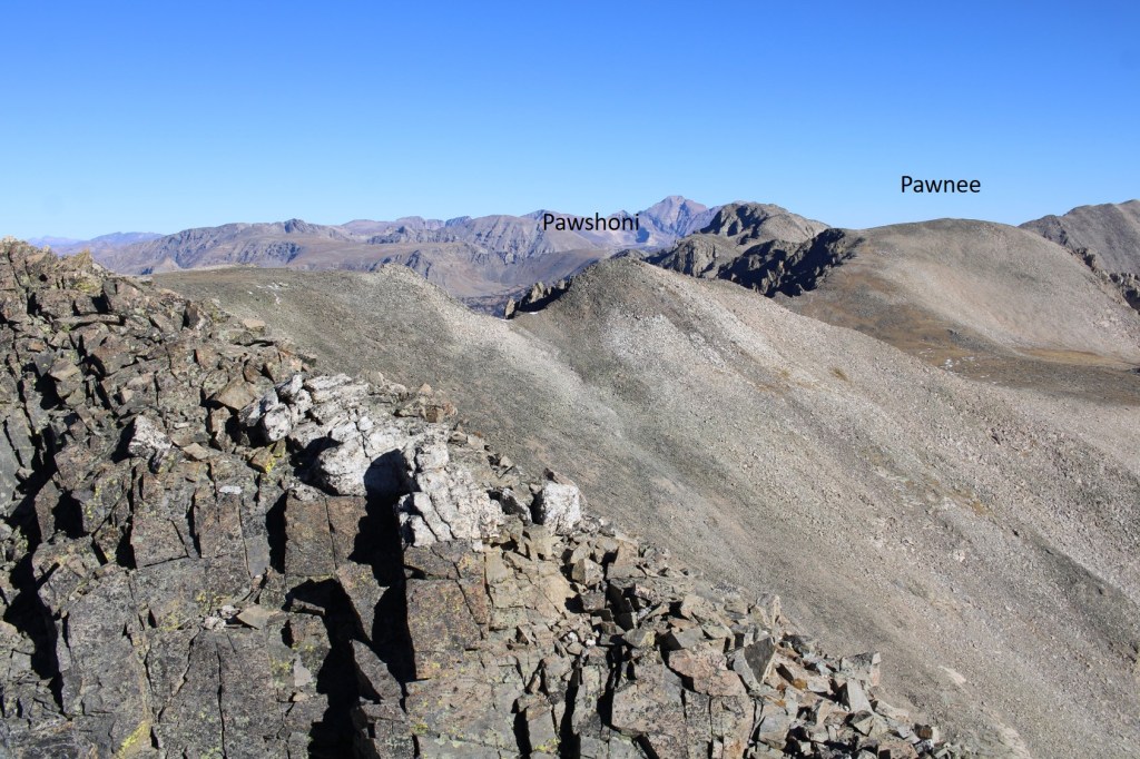
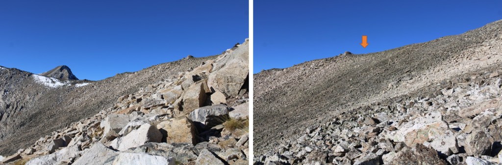
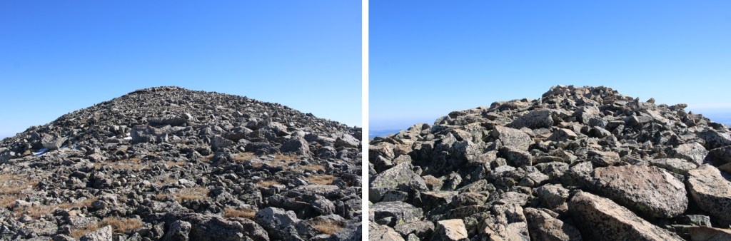
I followed the class 2 ridge northwest and then northeast all the way to Pawshoni

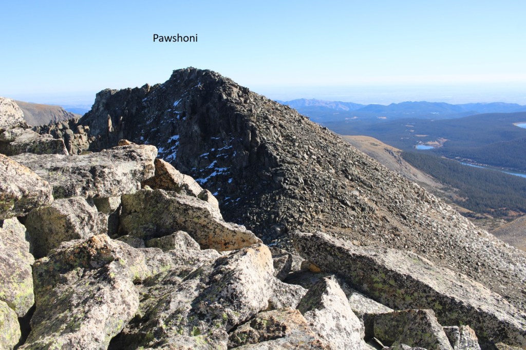
I summited Pawshoni at 10:30am
Pawshoni:
Next up was Pawnee Peak, to the northeast
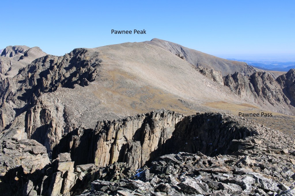
I continued to follow the ridge down to Pawnee Pass, and the up to Pawnee Peak. Once at the pass, there was a game trail I could follow to the summit.

I summited Pawnee Peak at 11am
Pawnee Peak:
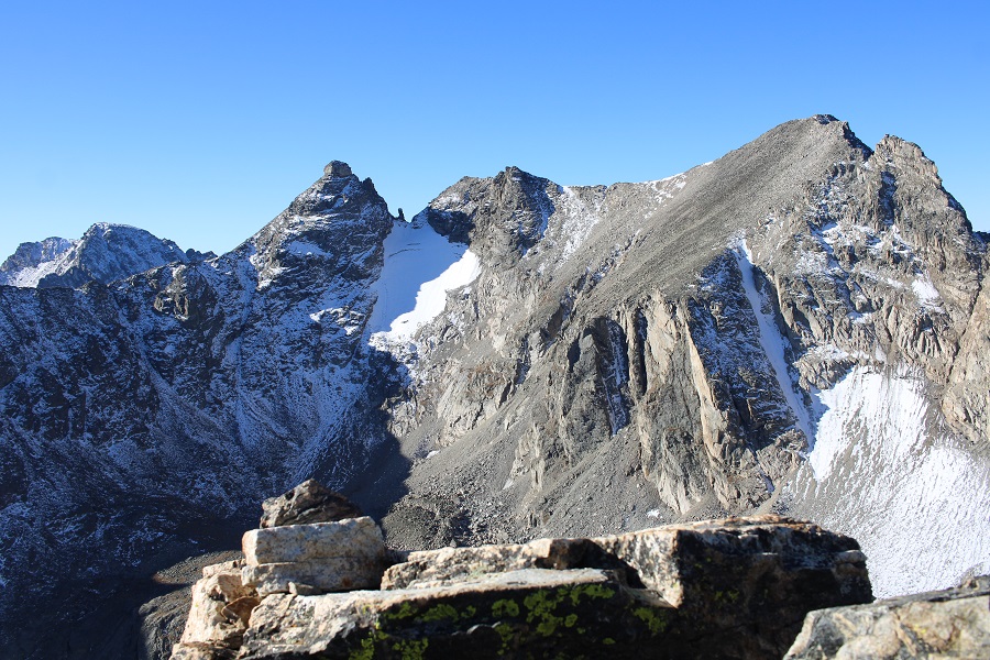
There were some amazing views of the peaks I’d just summited, as well as other 13ers
I turned and headed back towards Pawnee Pass, following faint trails along the way

Back on the trail, I followed it as it wound its way and switchbacked east towards Lake Isabelle
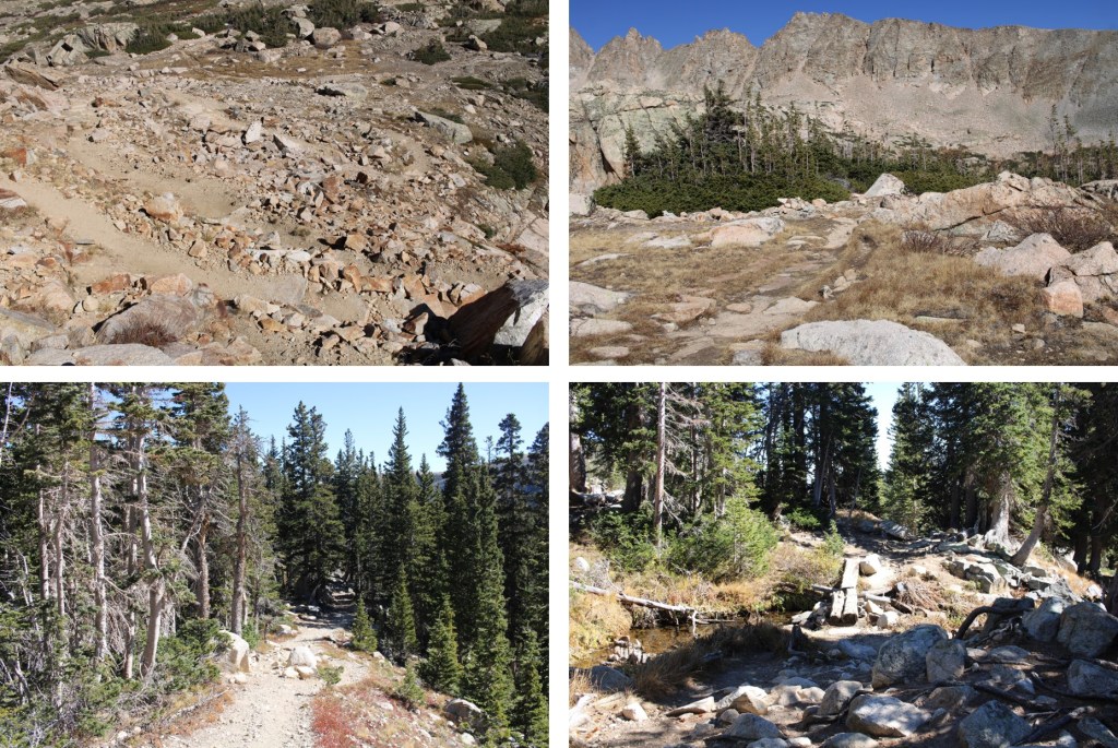
Then I followed the trail east back to the trailhead

From the trailhead it was a 3.1 mile walk along the paved road back to my truck
I made it back to my truck at 2:15pm, making this a 19.63 mile hike with 3728’ of elevation gain in 9 hours.
On to the next trailhead!
