
RT Length: 6.6 miles
Elevation Gain: 3008’
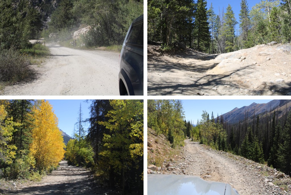
I started at the North Fork Reservoir because I wanted to fish and spend the night camping before heading out. That 4WD road in though! It was intense!
If you’re not spending the night, and your vehicle made it this far, take the right road to Billings Lake and you can cut off some hiking and park in the basin

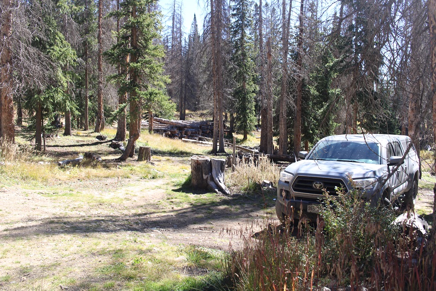
If not, you can pay for a site at the reservoir, or do what I did, which was park just outside of the entrance in a dispersed site.
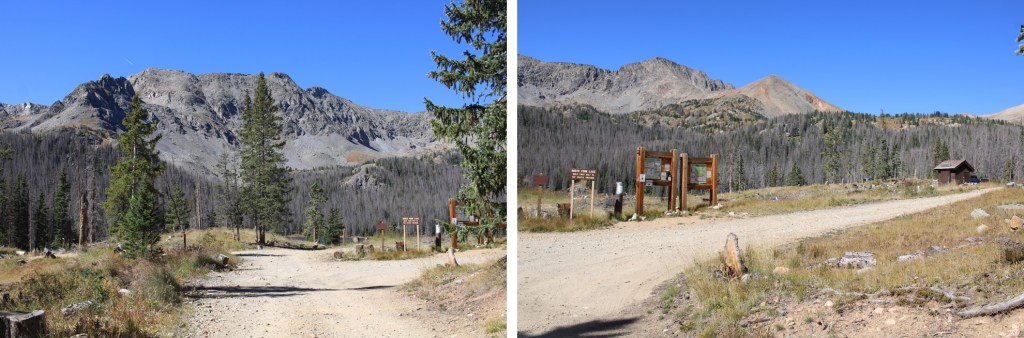
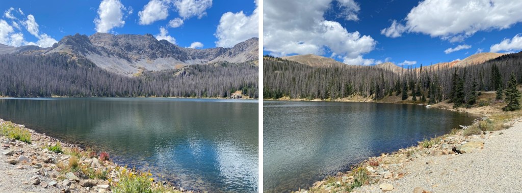
Here are some pictures of the North Fork Reservoir and the campsites there. Note: The bathrooms were disgusting and the doors didn’t close. The fishing was good however, and the reservoir beautiful.
If you’re starting from the dispersed campsite, just walk north through the trees and you’ll hit the 4WD road.

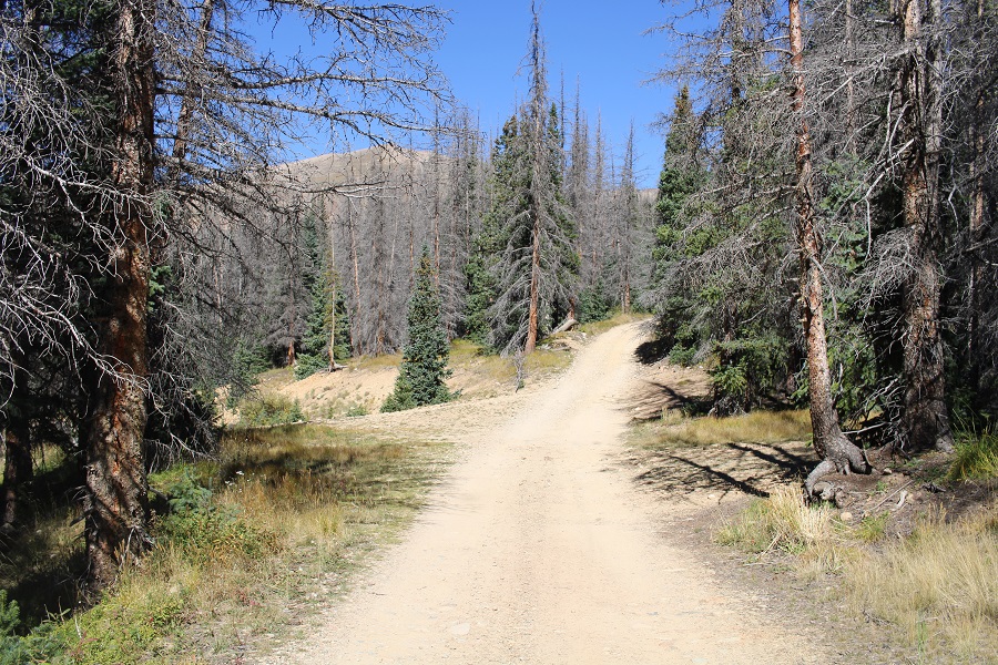
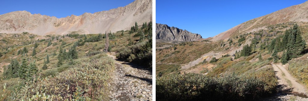
I was on the trail at 6am, following the dirt road. I hiked it for just over a mile before turning off and leaving the road. Side note: I counted no less than 3, and up to 5 moose in the upper basin that morning.
I took the solid route up, the dotted route down. I’d recommend taking the dotted route both up and down, as there are several old miners trails there that go all the way to the ridge.
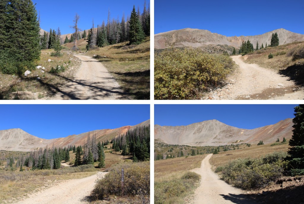
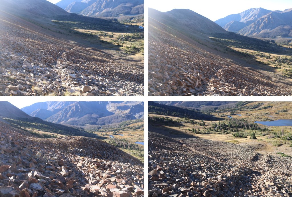
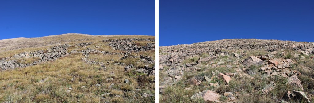
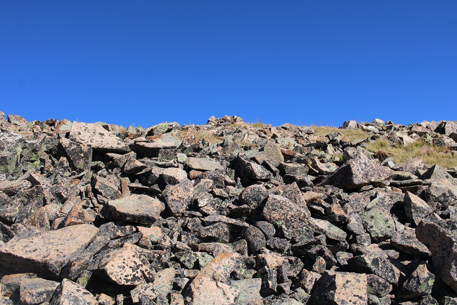
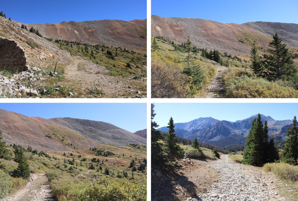
Here are pictures of my route up to the ridge. This entire hike after leaving the road was class 2.
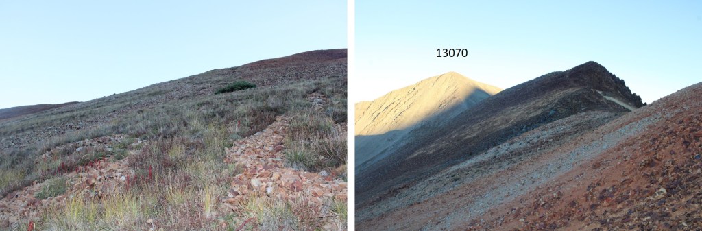
It was then a simple class 2 ridge walk over to PT 13070


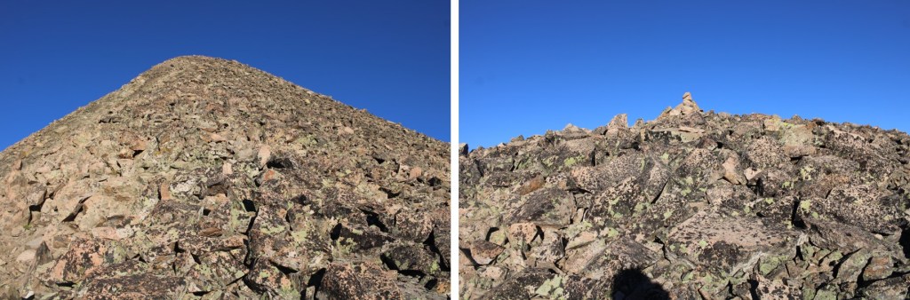
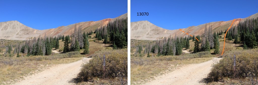
I summited PT 13070 at 7:40am
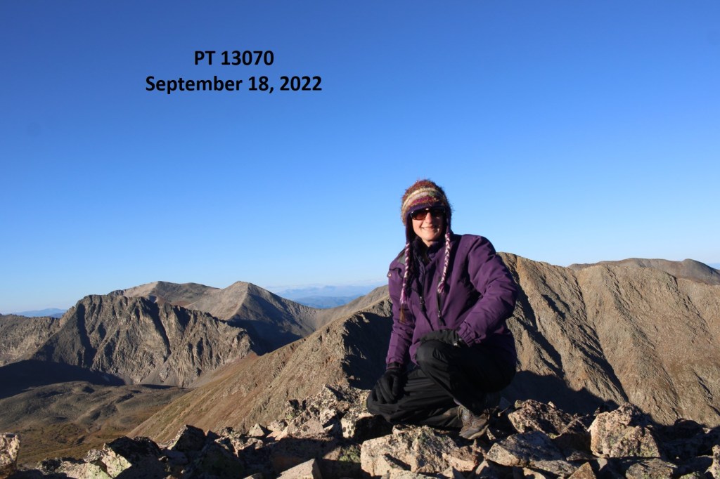
PT 13070:
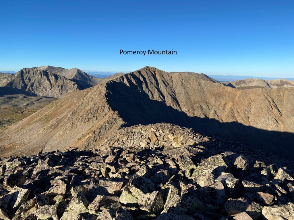
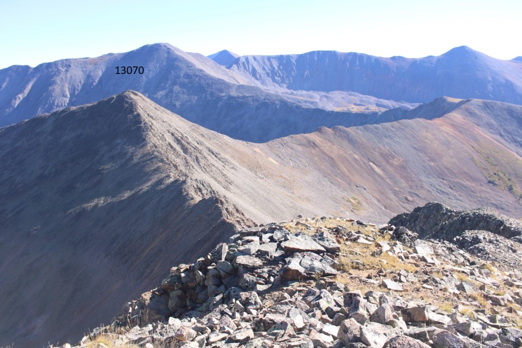
From PT 13070 I could see Pomeroy Mountain to the southwest
I didn’t head southwest, but instead made my way back down to the saddle

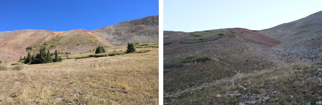
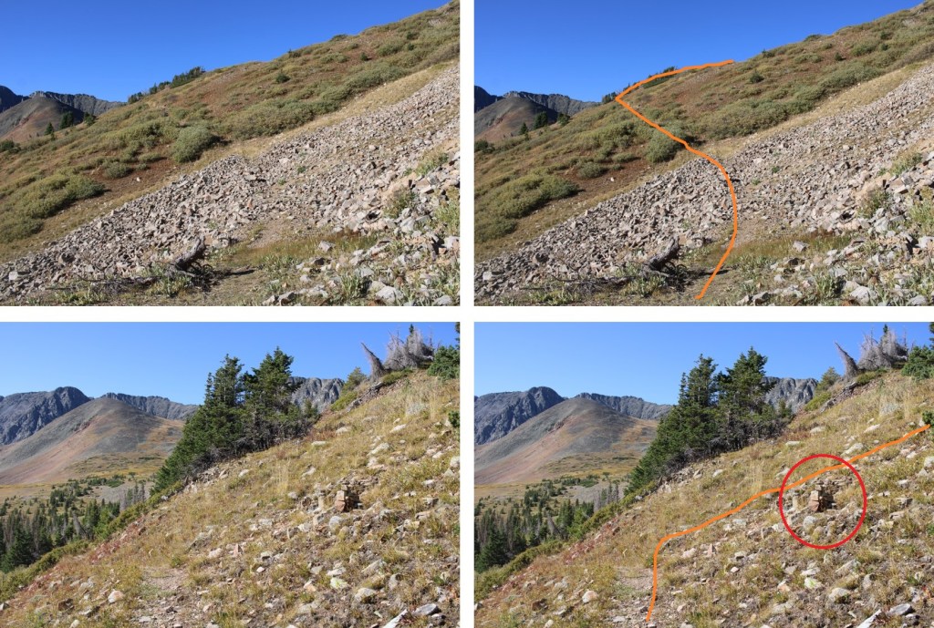
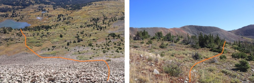
Once there, I could clearly see several old mining/social/game trails that led down into the basin. They were relatively well established, and easy to follow, as they each stopped by the empty mines.

Here’s the route I took back down into the basin and 4WD road 240
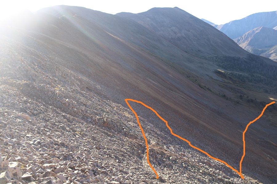
There were several options here, and all led back down to the road

Looking back up at the mines, you can see there are trails that go to each one. If I were to do this again, I’d pick one of those trails and take it to the saddle, instead of taking the entire ridge.
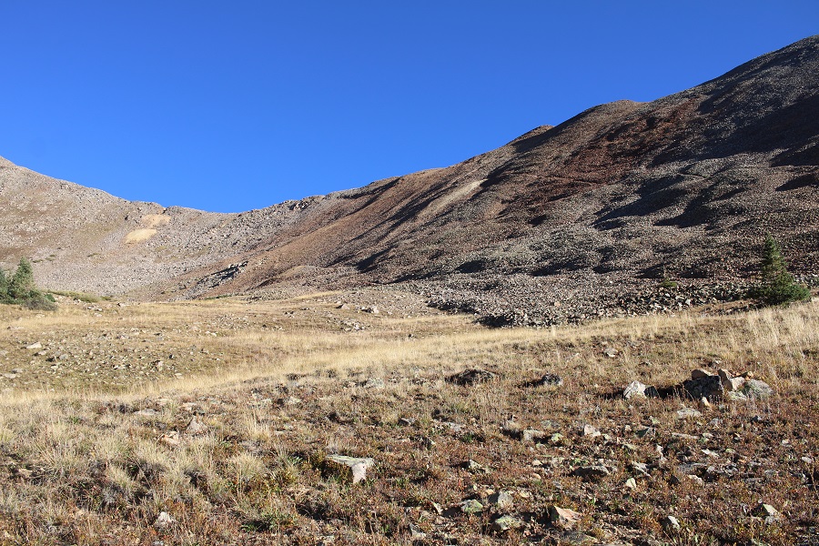
It was easy to find my way back to the road because I was above treeline
Now to head over to Pomeroy

This is the overall route I took to get there

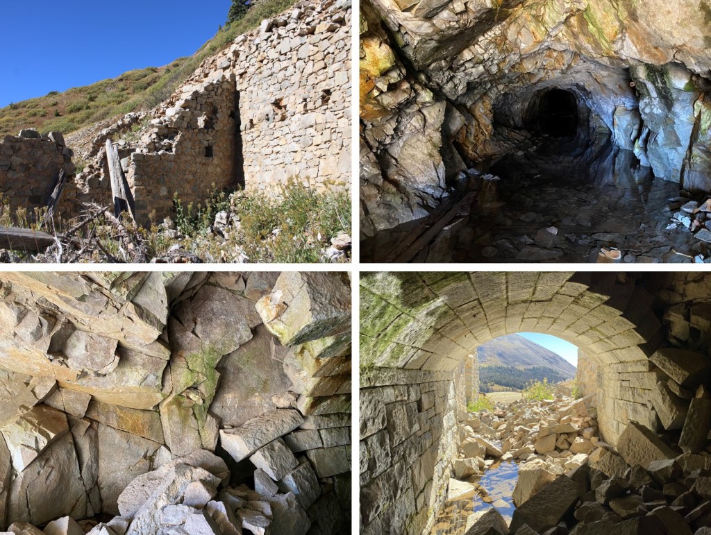
I followed the 4WD dirt road as it curved around the basin, and then ended at the Pride of the West Mine (I’d explore the mine on my way back down).

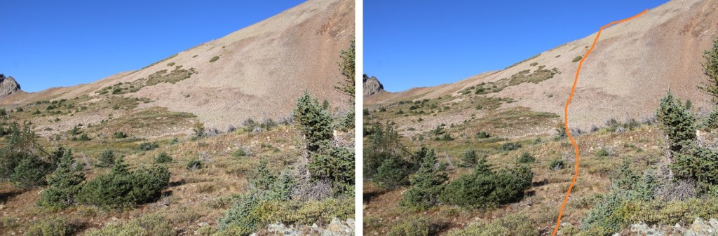
I continued on the trail that went past the mine for a short ways, and then went west, up this hill. I placed a large cairn at my exit from the trail
I continued heading west, and then made my way to the ridge, staying to the north of the willows. The talus here was loose.
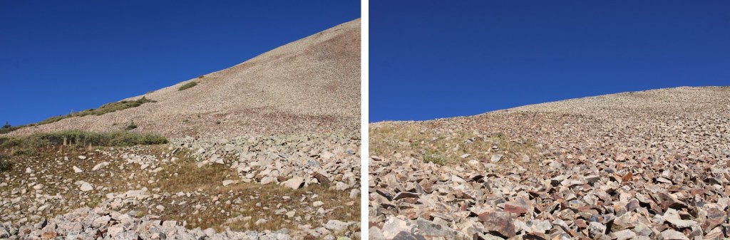
When the talus ran out, I followed the rocky tundra northwest to the summit of Pomeroy Mountain
I summited Pomeroy Mountain at 9:30am
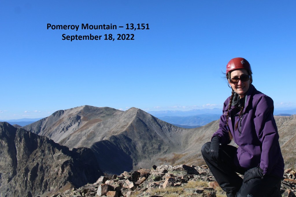
Pomeroy Mountain:
Here’s looking northeast at PT 13070
I re-traced my steps back down to the mine


Then, since it was still early and I still had my helmet on, I decided to explore a bit. The mine is flooded, and falling apart at the entrance, but was still a really neat structure.
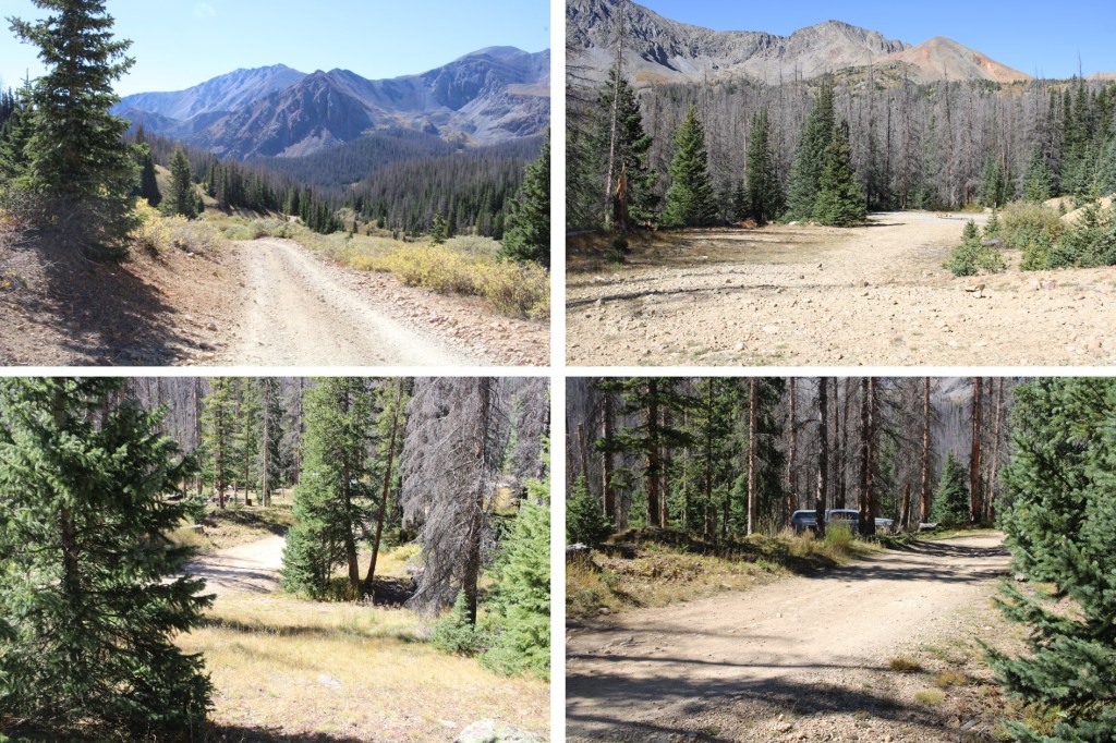
After a few minutes of exploring, I followed the 4WD dirt road back to my campsite. Also, there were a lot of large campsites along the way that were for dispersed campers as well. The only paid sites were near the reservoir.
I made it back to my campsite at 10:45am, making this a 6.6 mile hike with 3008’ of elevation gain and lots of time exploring the mine in 4 hours, 45 minutes. The map below is hand drawn in, as STRAVA stopped working when I hit the summit of 13070 and gave me incorrect stats.

On to the next trailhead!
