RT Length: 13.79 miles
Elevation Gain: 3714’
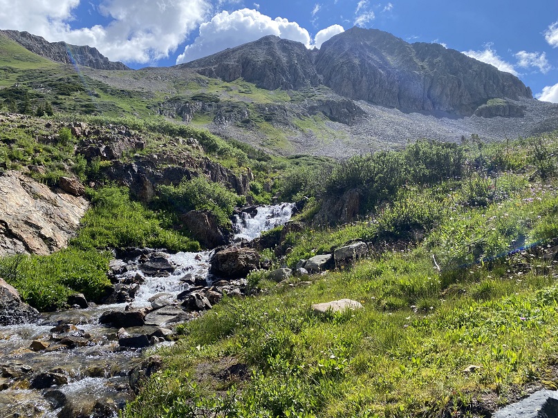
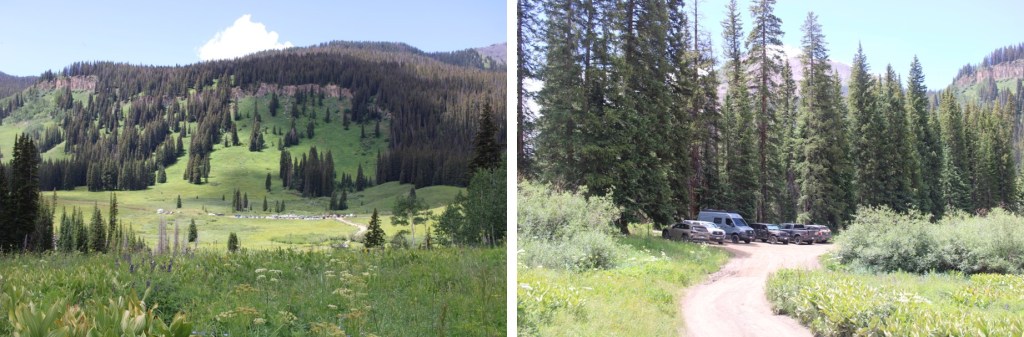
The Rustler Gulch Trailhead was full. I tried to drive up the road several times, but kept getting greeted by vehicles coming down. The drivers didn’t understand up had the right of way, and all of them seemed to be in vehicles too big for them to maneuver. After backing up over half a mile for the third time, I decided to just park below. I’d find out the next day it’s peak wildflower season in Rustler Gulch, and the tourists were flooding in to see them. Parking down below added about 2 miles to my trip and 500’ of elevation gain, which was negligible. Bonus: There was a creek behind me to enjoy as well.

I was on the 4WD road that led to the trailhead at 3:30 am.
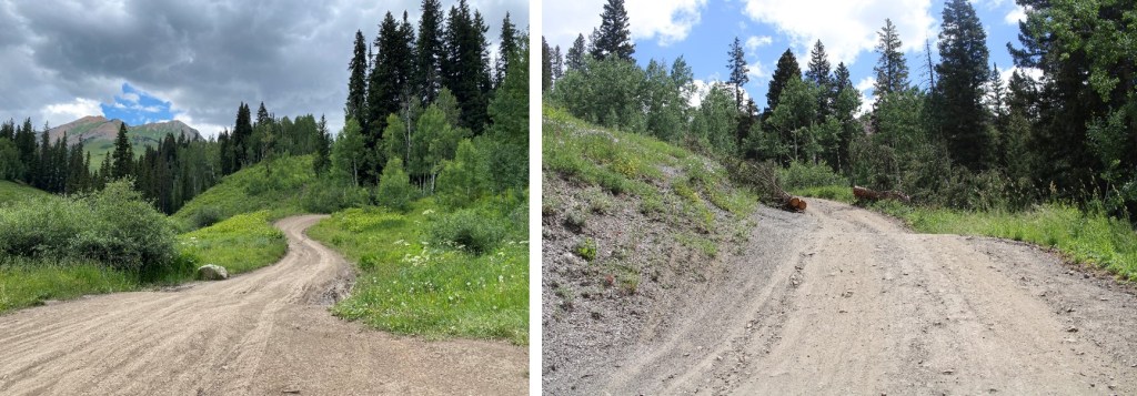
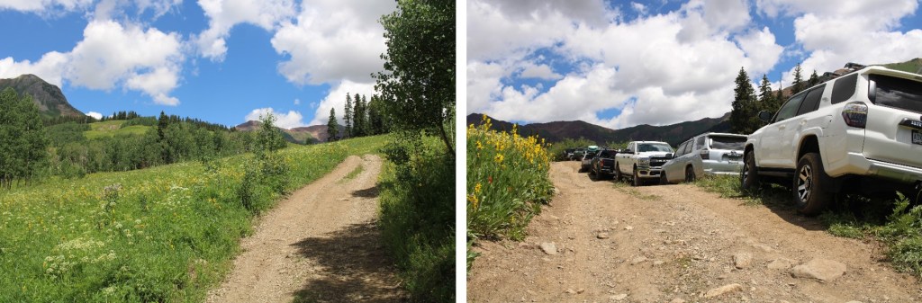
I followed it a mile to the actual trailhead, which was overflowing in the afternoon
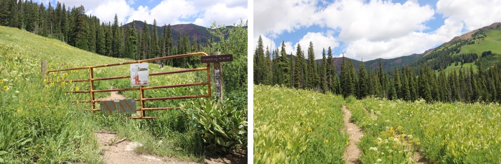
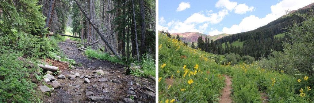
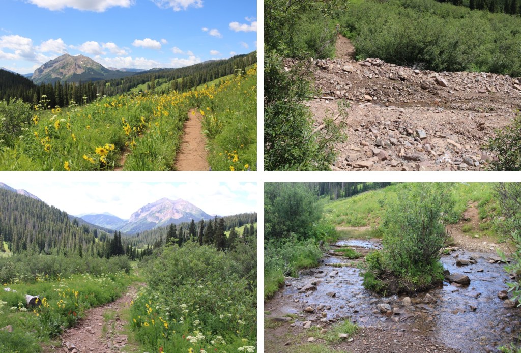
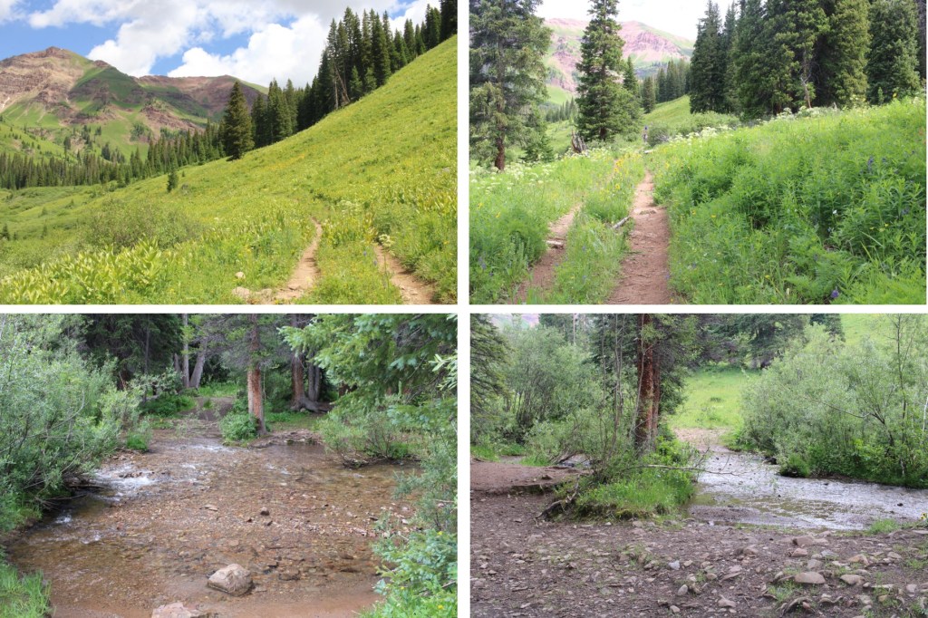
I passed around the gate, and followed Rustler Gulch trail #599 north into the gulch.
There were several stream crossings to cross, all of which had rocks or logs so my feet didn’t get wet.

When I got to this creek crossing, I went right, and found a footbridge
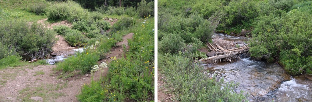
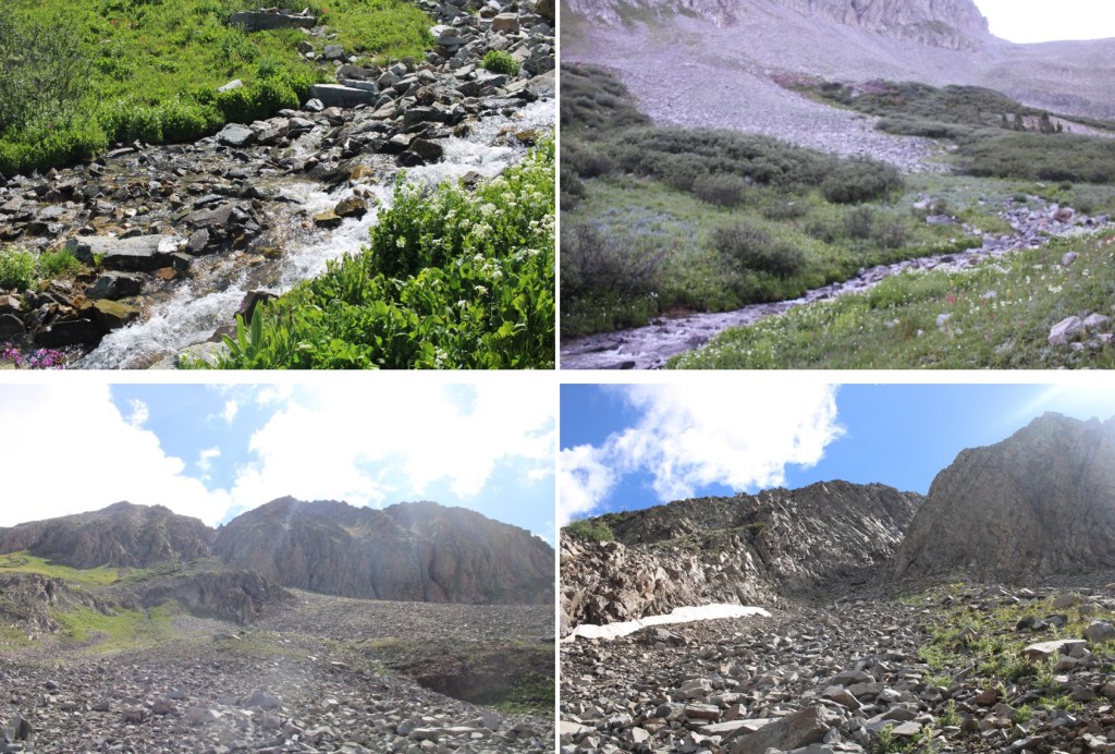
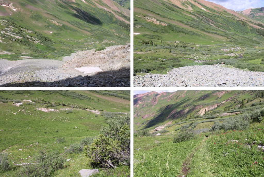
I continued following the trail, and crossing creeks, through the gulch on a well-marked trail
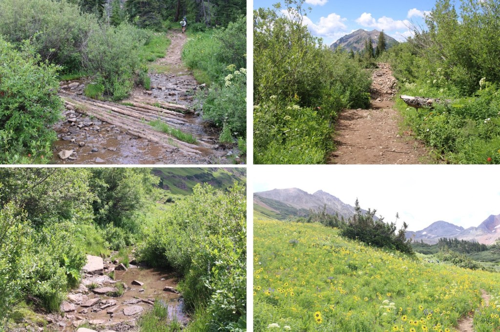
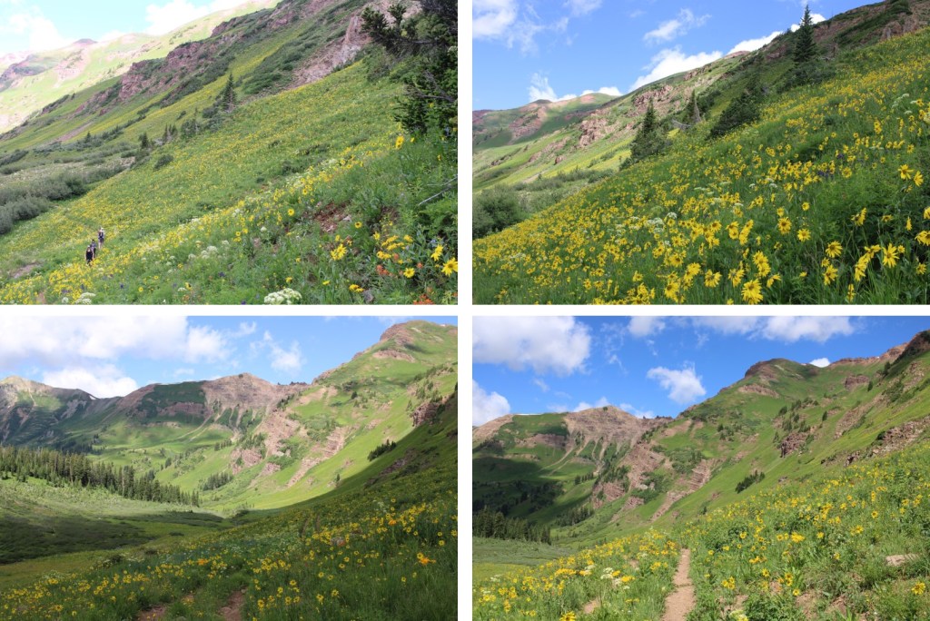
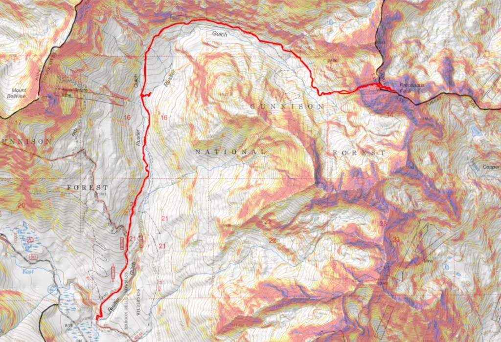
Here’s my route into the upper basin. This is all done on a class 1 trail
Here are some more pictures

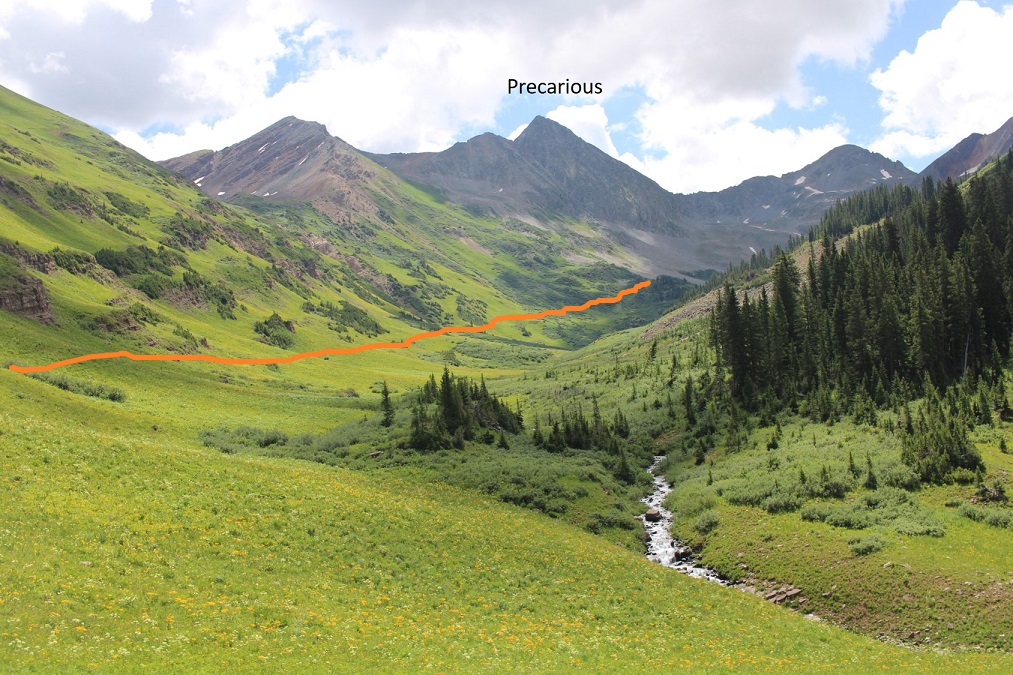
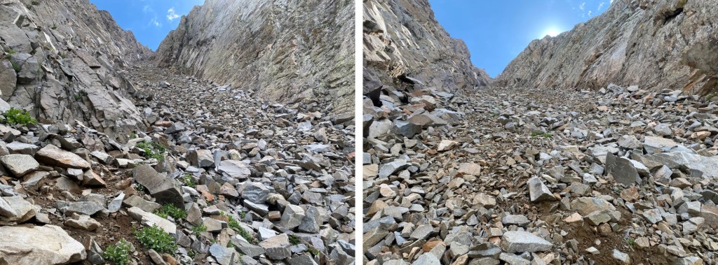
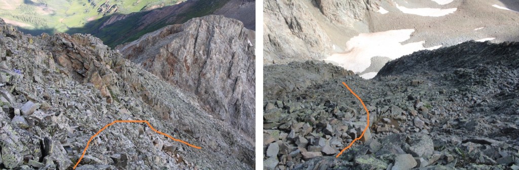
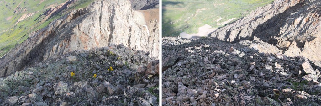
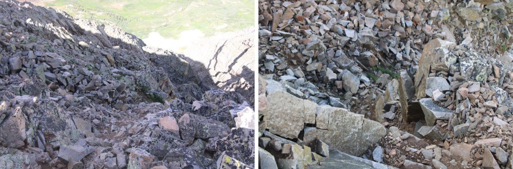
After hiking for 5.3 miles, I crossed a creek, and left the trail. I could see my route before me to Precarious’ access gully.

This is the route I took

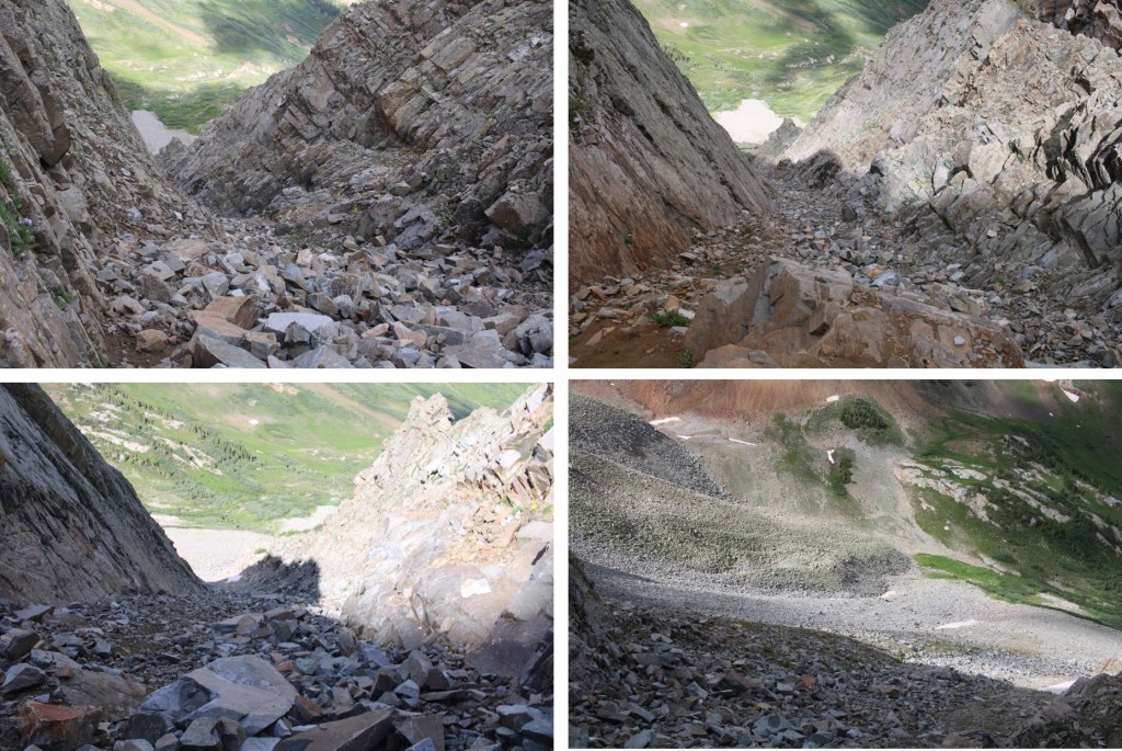
And some step-by-step pictures to get there
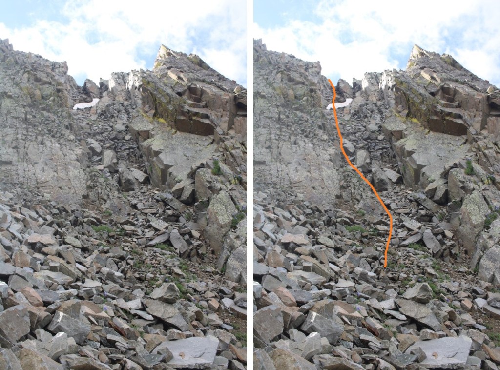
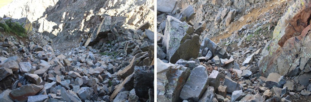
At the base of the gully I put on my microspikes and started climbing. This is choose your own adventure of 850’ of elevation gain. This felt class 2+. I’ve definitely been in worse gullies, but still be sure of every step. I didn’t have any rocks fall down the gully, but I did make a few slide a few feet. It had rained the night before, so the scree was mushy and easy to grip.
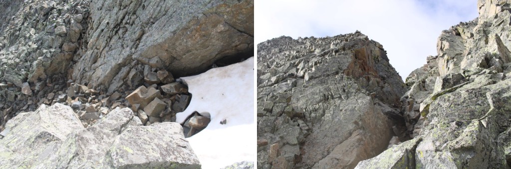
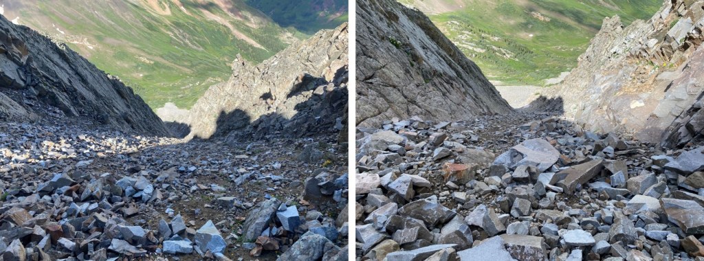
There are two ways to top out of the gully. I took the first one up, the last one down. If I were to do this again, I’d take the one closest to the top up and down, as it felt more secure. Here’s the one I took up, which still had snow in mid-July:
And the one I took down (snow free)
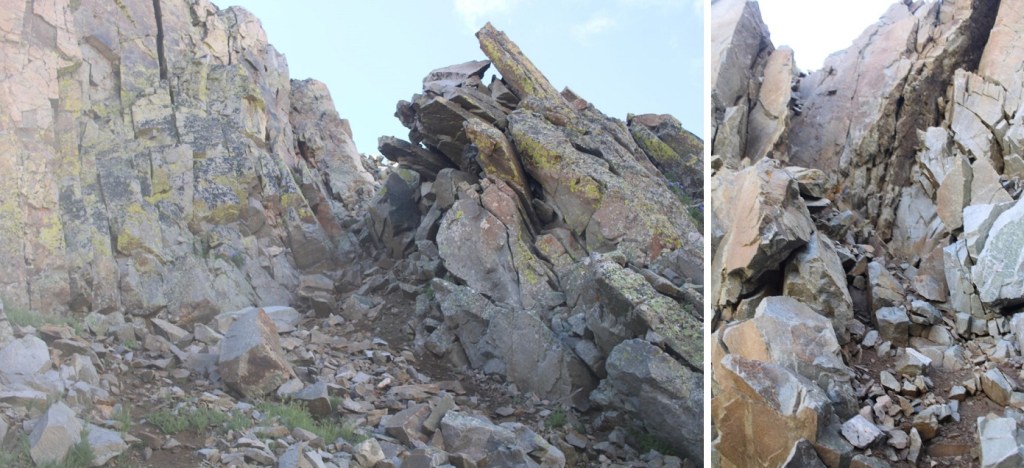
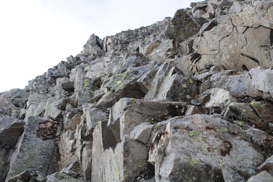
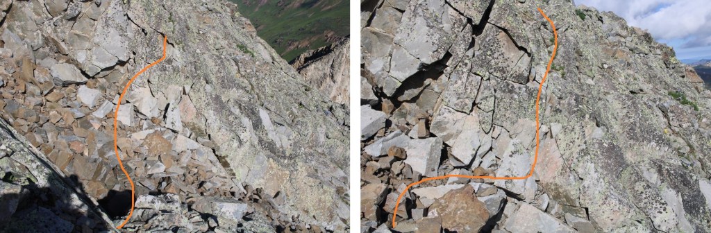
They both led to the same place: Class 3 scrambling.
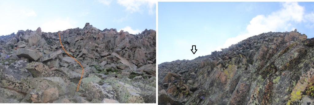
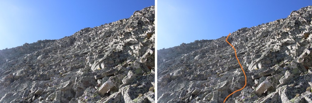
I aimed south, towards what looked like the ridge, but went too far up, where the route cliffed out. Instead, head east. At around 13190 there’s a path to go around the mountain. I had to descend about 50’

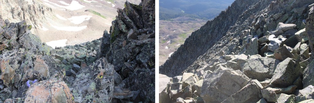
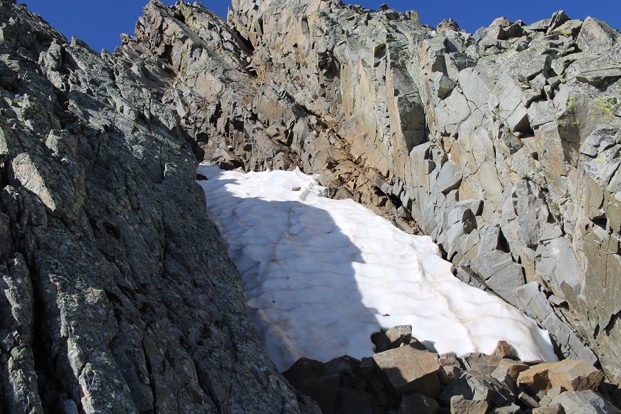
When I got there this is what I saw: A snow filled gully!!! I was so upset, thinking my climb was over…
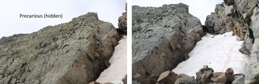
Until I realized I just needed to cross the gully, and then head towards the summit on the other side (all class 3 scrambling).
I crossed the gully just at the base of the snow

And then scrambled to the top
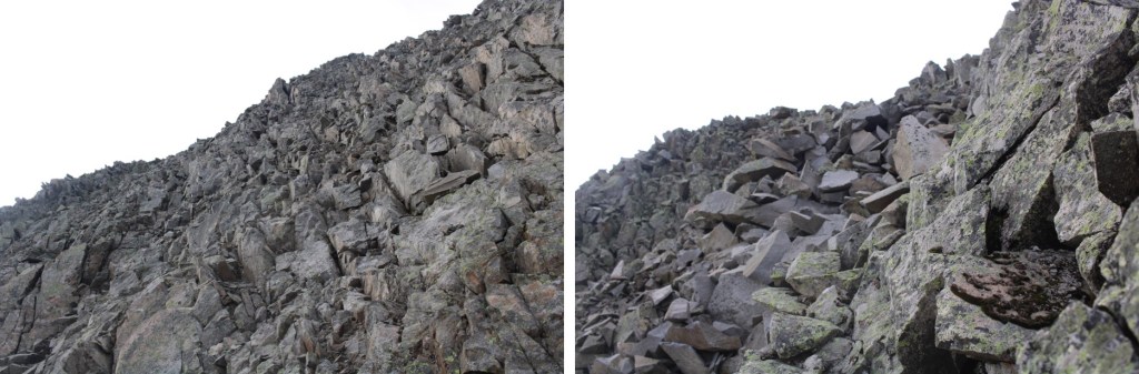
To find I wasn’t yet at the top… This was all class 3 scrambling as well
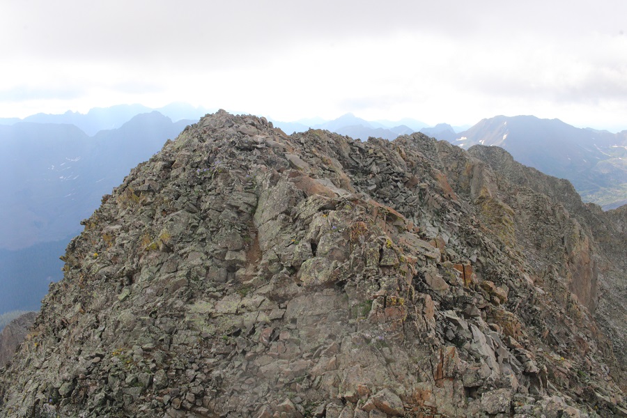
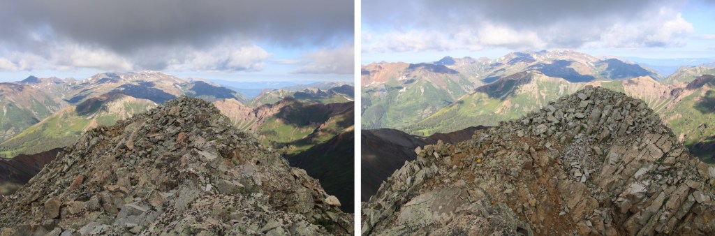
I summited Precarious Peak at 8:30am

Precarious Peak: (Yes, I called it the wrong name. I knew it was wrong at the time, but didn’t care to take the video again)
There were two summit registers, and when I went to open them I found out why: The older one was sealed shut.

I backtracked the way I’d summited back to the snow filled gully
Crossed the gully
And made my way back to the ridge

Then back down to the gully that would take me to the access gully
OK, time to put back on my microspikes to descend the 850’ that is the access gully
I stopped on my way down to get a video
Precarious Gully:
Then continued to its base
At the base of the access gully I took off my microspikes, and then headed for the obvious trail below.
I crossed the creek, and spent some time looking at some old mining equipment.

Then I followed the trail back down the gulch

There were so many people, and so many wildflowers! I can see now why this trail was so popular.
Here are a few pictures of the way back to the trailhead
And from the trailhead to my parking spot

Here you can see even more of the overflow/2WD parking below
I made it back to my truck at noon, making this a 13.79 mile hike with 3714’ of elevation gain in 8.5 hours.
On to the next trailhead!
