
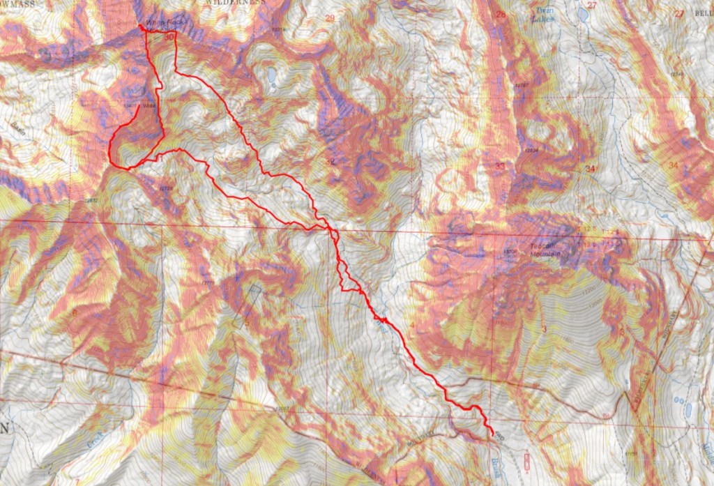
RT Length: 11.04 miles
Elevation Gain: 4470’
The drive in to the Teocalli Trailhead was sketchy. My stock Tacoma made it, but the last 2 miles were brutal, and the last quarter of a mile I kept going because I had to and couldn’t turn around if I’d tried. The drive made for a great incentive not to need to come back to this area.
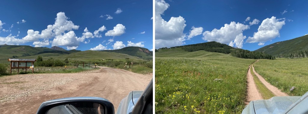
I parked at the trailhead. There were a ton of flies and mosquitoes out. The flies looked like normal flies, but when they bit me, I got welts. The next day they looked like burns. Bring bug spray.
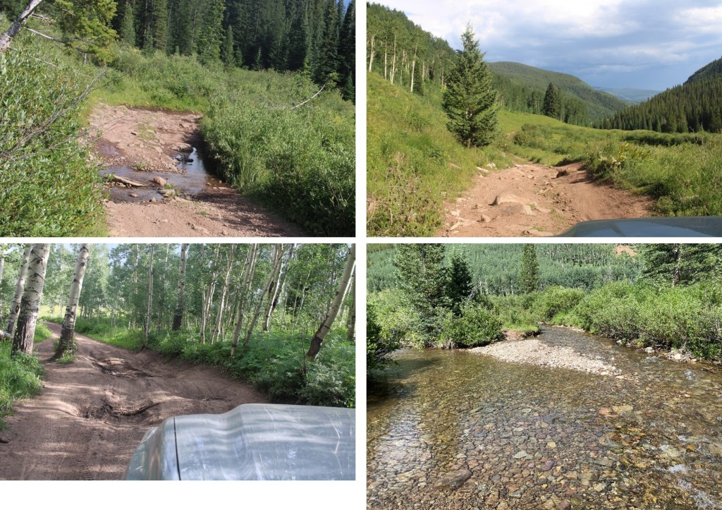
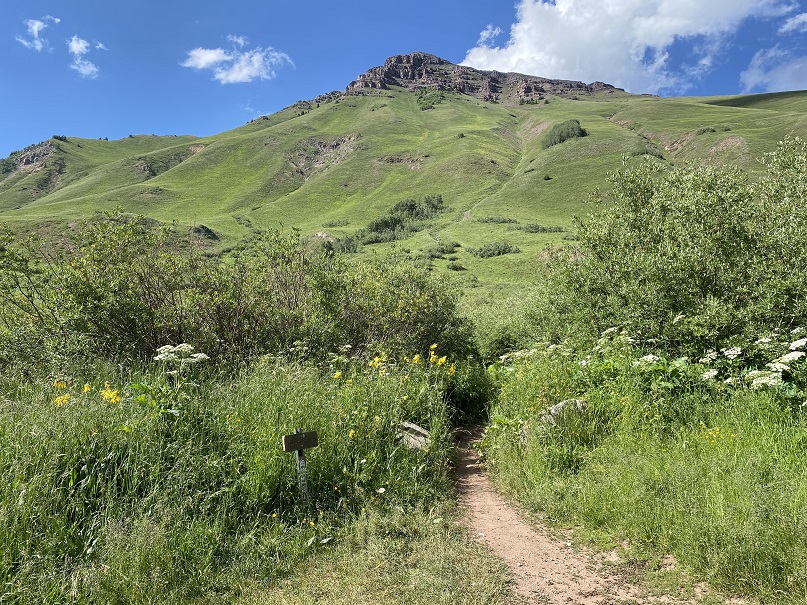
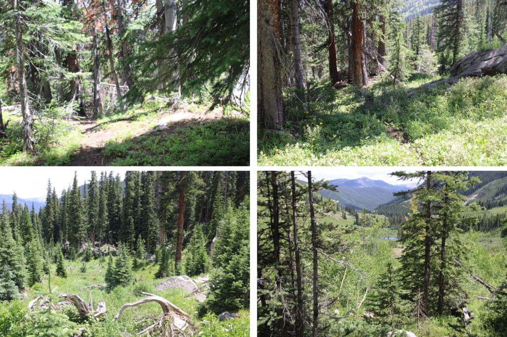
I was up and on the trail at 4:15 am. The trail was class 1, but overgrown with plants, so at times it was hard to see. I followed Teocalli Trail NO 554 for .65 miles

After hiking for .65 miles, I came to a junction. Here I left the main trail, and took a side trail. I swear it’s there! It’s just covered in vegetation.

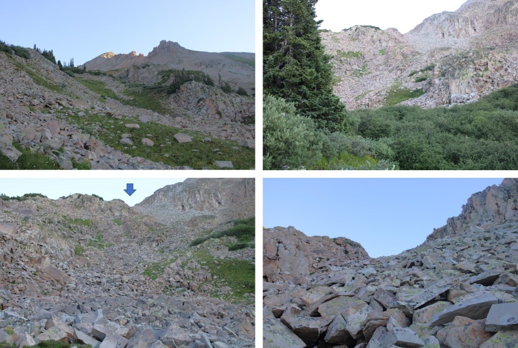
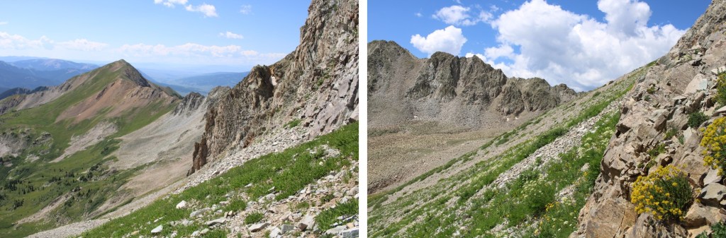
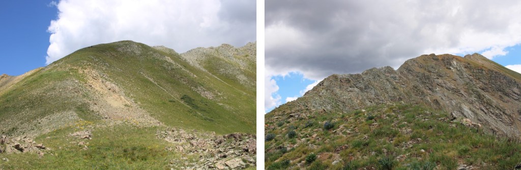
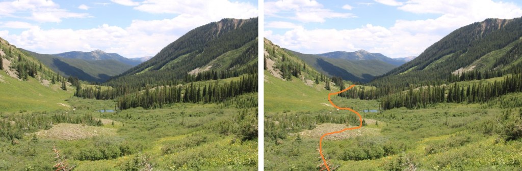
Now is a good time to get a look at the overall route northwest. Once in the trees, it’s difficult to know where you’re going until you make it into the basin
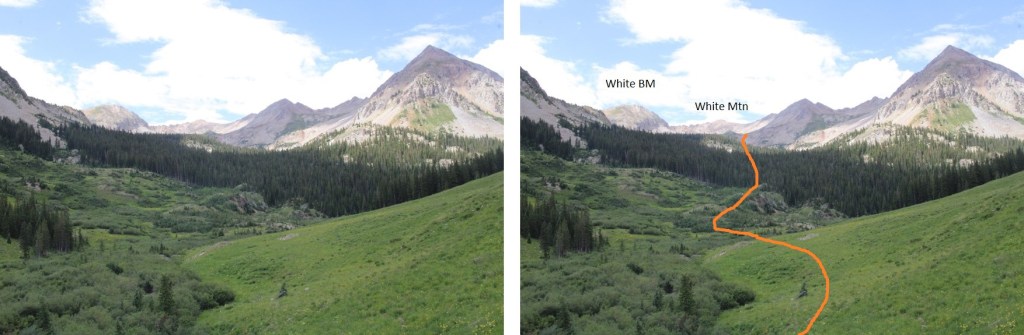
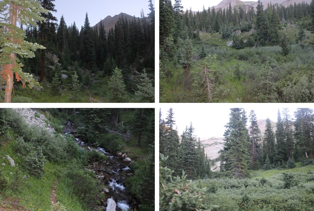
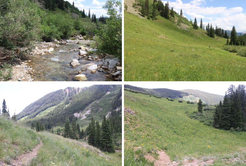
I followed a slight trail until I crossed the creek (creek crossing shoes needed) and then there was no more established trail (but a lot of game trails) I followed the drainage northwest to treeline. Also, here I saw fresh bear scat (still wet) so be aware there may be a bear in the area.

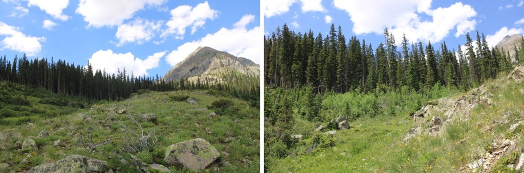
Once at 11570’, I rounded the side of this hill, and headed up

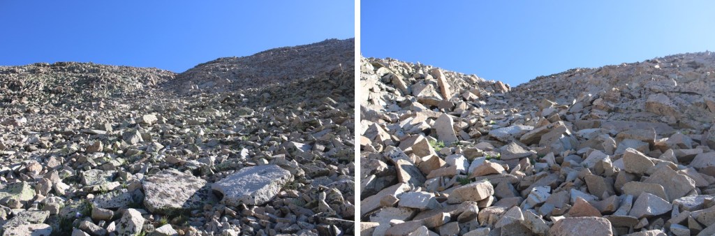
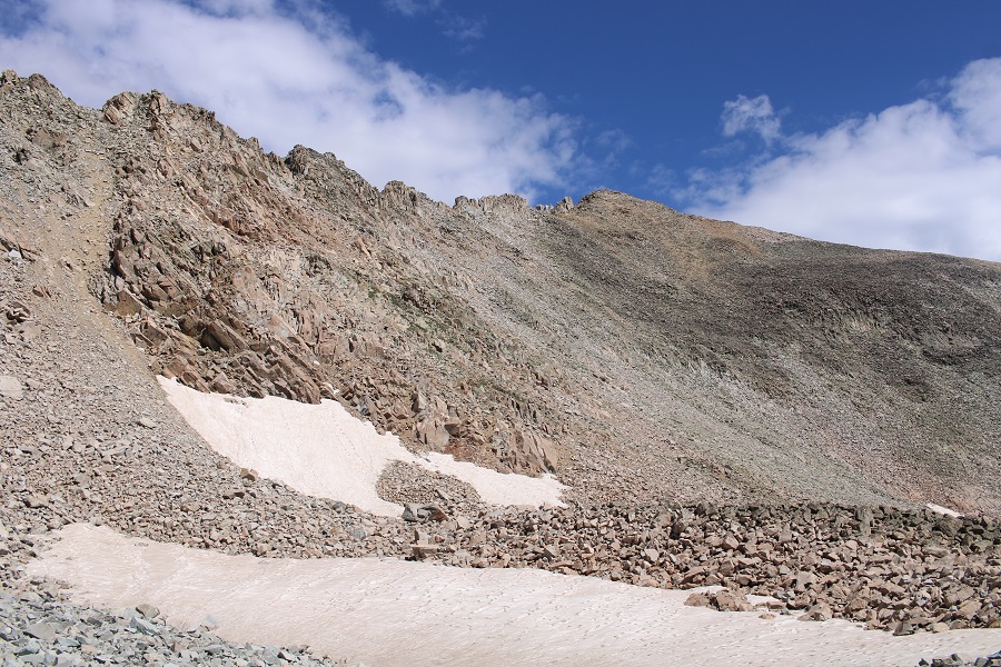
I ascended a small gully to the upper basin

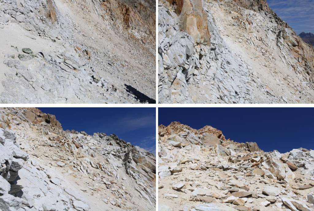
Here are some closer pictures of my ascent into the upper basin
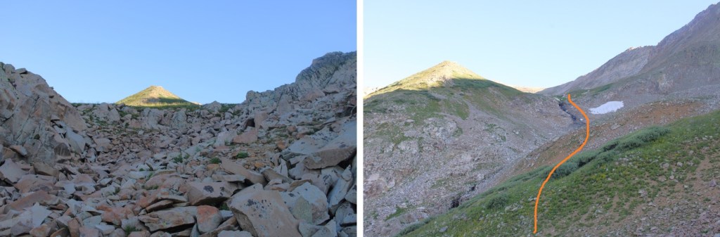
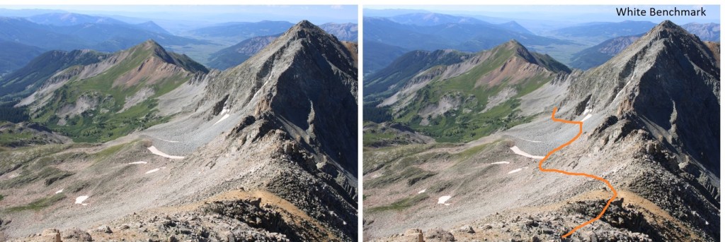
Now’s a good time to look west. This is the route I took down from White Mountain to White Benchmark. I stayed just under the cliffs. You’ll use this information later
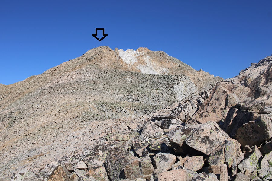
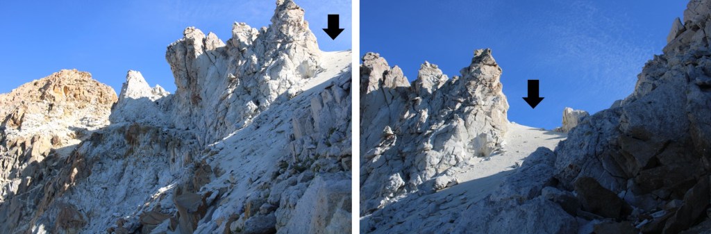
Now in the upper basin here’s my route to the ridge. This is choose your own adventure, and I’m pretty sure you could pick any line and it would go. The arrow shows where I ascended the ridge, via a small gully.

Now on the ridge, I followed it northwest. Making it to the arrow was all class 2.
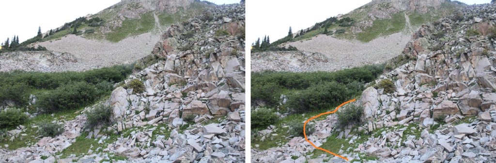
Once there, I had to drop a bit in elevation to get around the rocks. I put on my microspikes and went for it
Making it back to the ridge felt like class 3
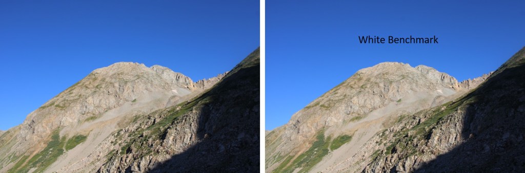
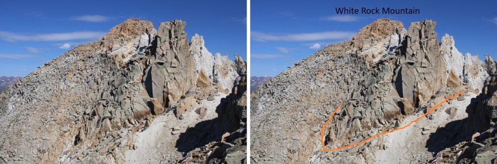
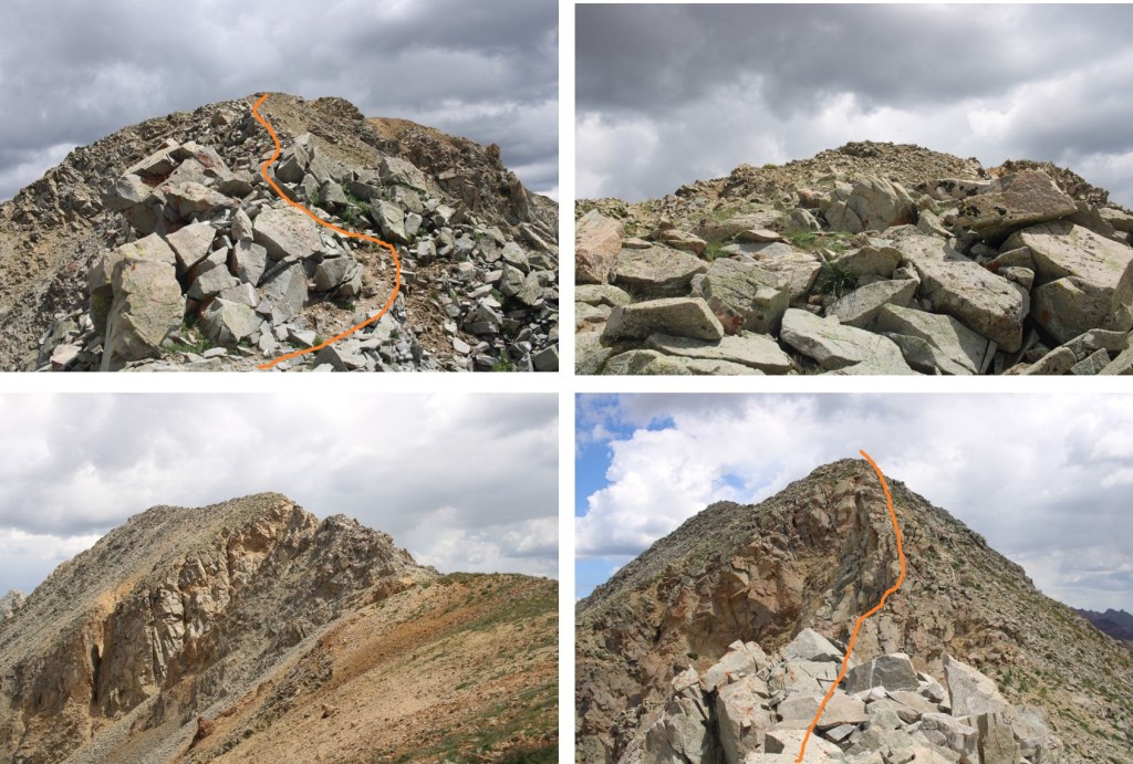
Once around this obstacle, I now had to go around the white rock. I did this by heading back to the ridge, and then dropping down onto the other side.
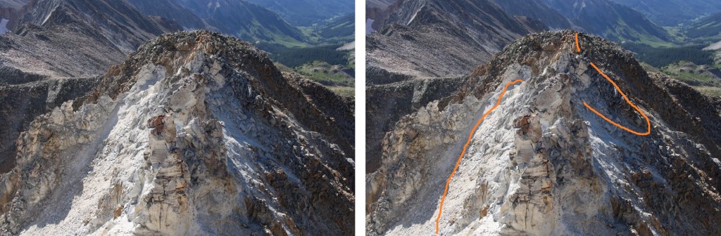
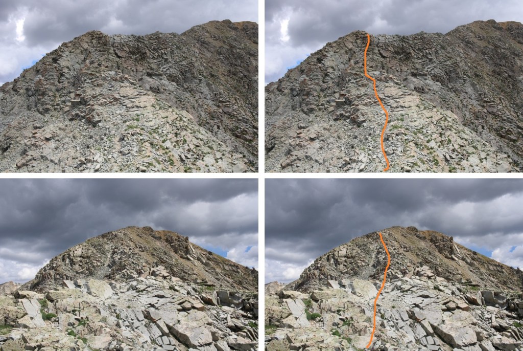
To summit White Mountain, I had to once again dip down, then re-ascend to the ridge. Microspikes were extremely helpful here. This is the route I took. Once I left the white dirt and made it to the brown rock, this became a class 3 scramble on questionable rock. It looks like the terrain shifts constantly, so be careful picking your route

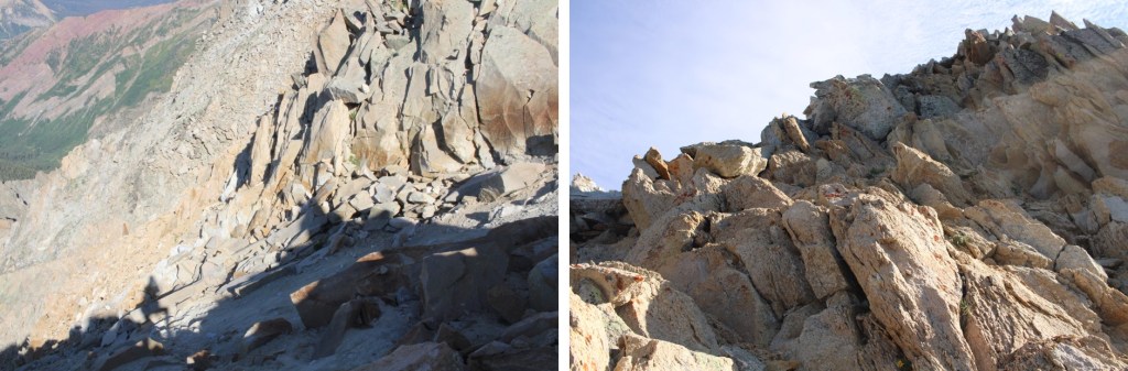
And some step-by-step pictures to the summit

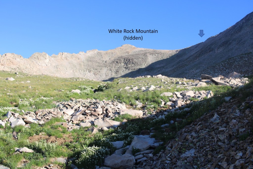
I summited White Rock Mountain at 9:30am. No summit photo: With all the excitement of a functional summit register that I could actually open and sign, I forgot. This is also how I knew the sand shifts frequently: There were signatures from just a few days before, but I didn’t see on shoe track the entire hike, and I was leaving prints everywhere.
White Rock Mountain:
I retraced my steps back to the ridge
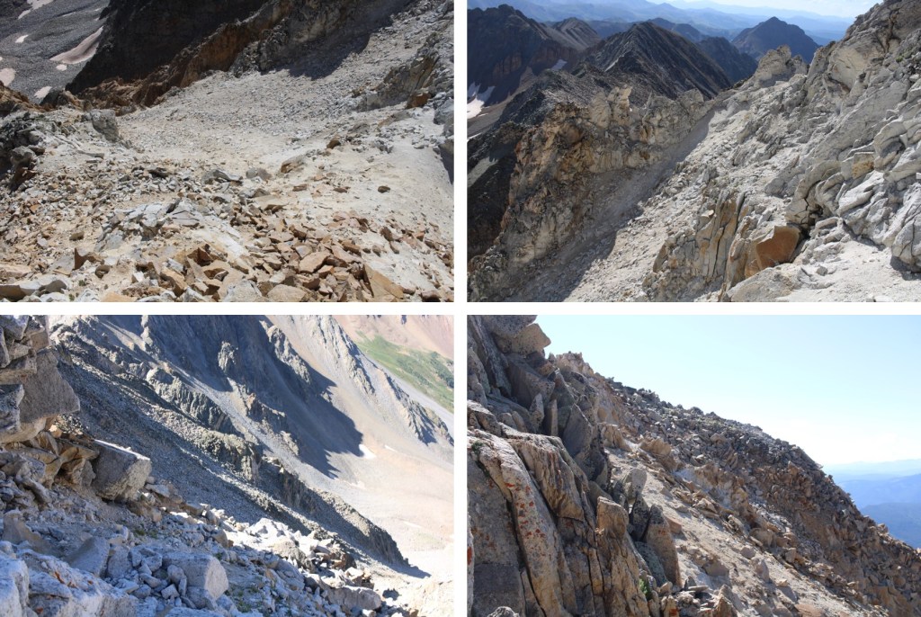
From the ridge I could see White Benchmark. I decided to stay high, just under the cliff bands
The rocks were relatively stable, but it was slow going

Here’s looking back at my decent route off White Mountain
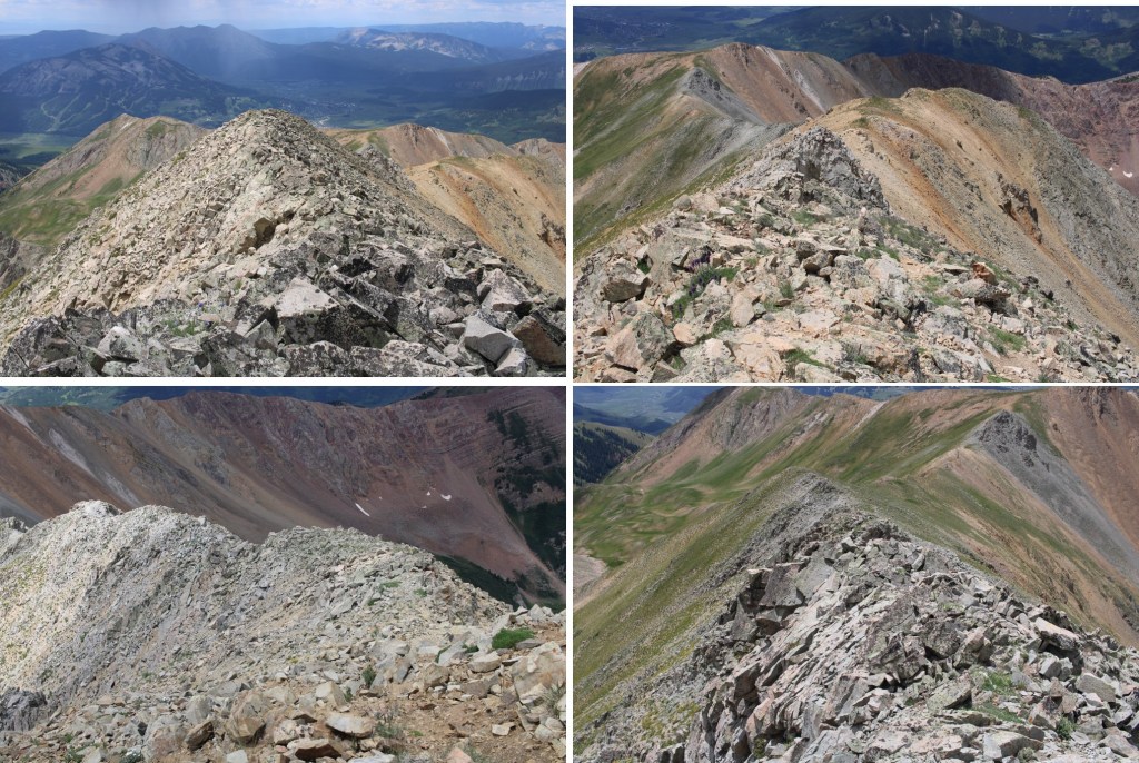
I kept rounding the ridge to the south, and eventually could see the 12728/White Benchmark Saddle, and a trail!
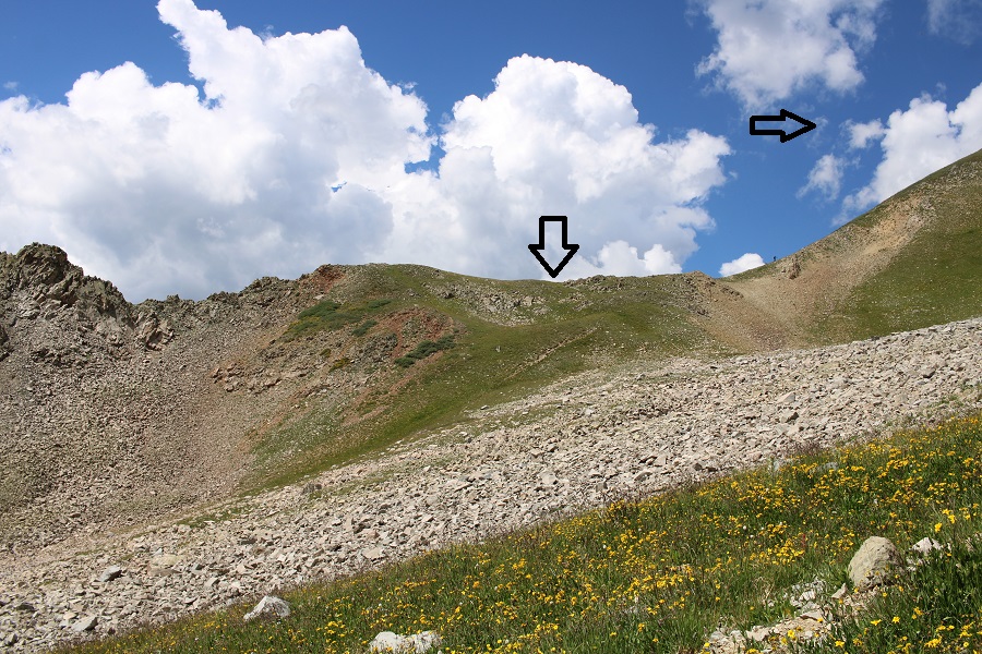
Once on the saddle, I followed it north. It started out as easy tundra
But eventually switched to rock. I still had on my helmet. The route is fairly obvious. You can stick to the ridge the entire time, keeping it at class 3. If you opt to dip down to the left or right you might be able to keep it difficult class 2/easy class 3.
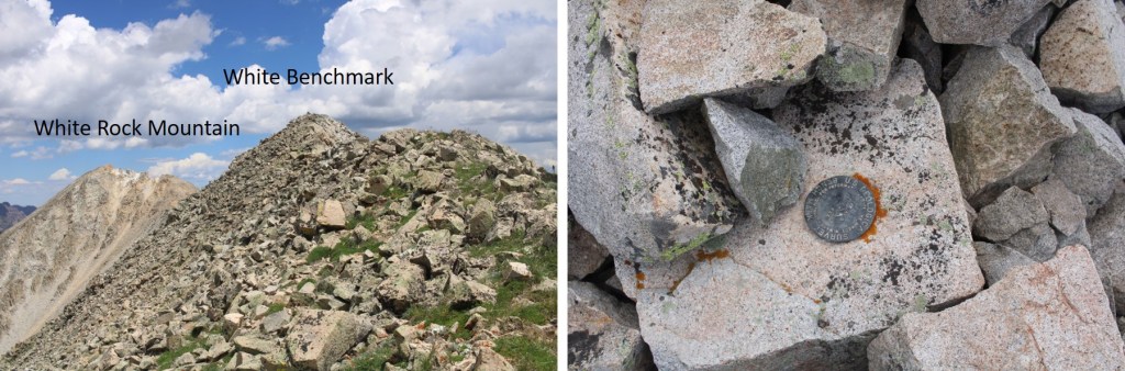
I summited White Benchmark at 12:30pm
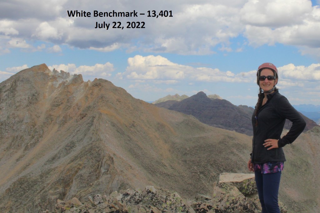
White Benchmark:
I made my way back to the 12728/White Benchmark Saddle
Once there, I picked up the faint game trail. This trail has the potential to lead you all the way into the trees and beyond, if you don’t lose it. It avoids the willows below, and becomes quite robust at times.


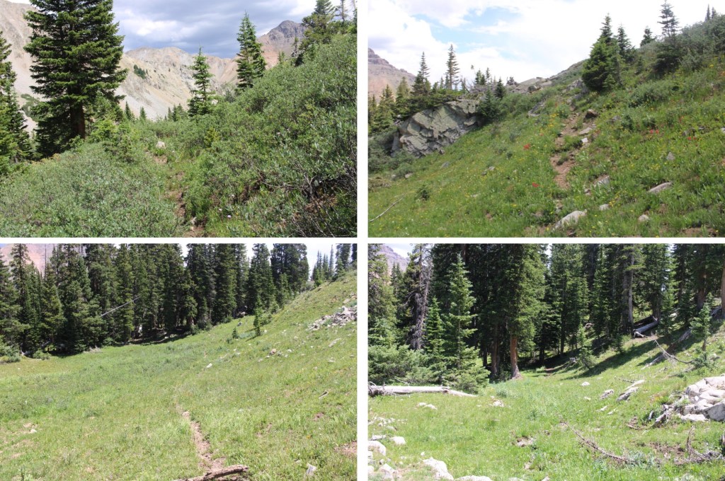
Once in the trees, route finding becomes more difficult. There are many game trails in the area. Pick one and follow it southeast until it runs out, then pick another one and continue following it southeast. Repeat. Keep the creek/drainage to your left (east).
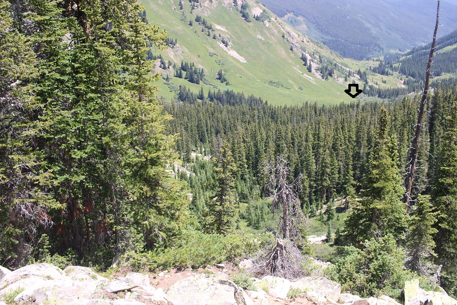
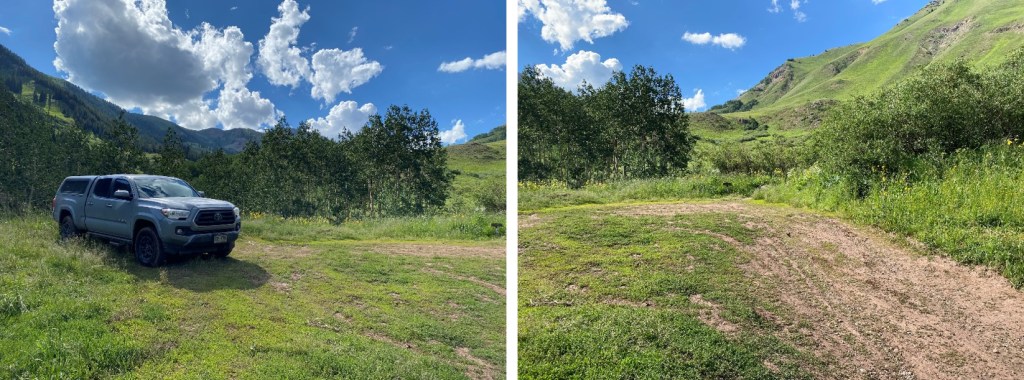
Once you exit the trees, aim for the small pond below, and then re-cross the creek and pick up the trail you walked in on
The parking area is circled in red

I made it back to my truck at 3:15pm, making this a 11.04 mile hike with 4470’ of elevation gain in 11 hours.
On to the next trailhead!
