
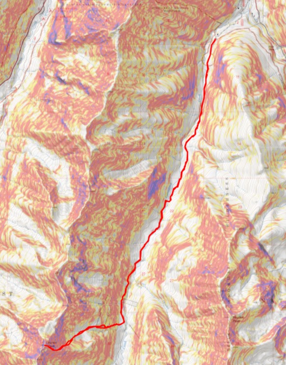
RT Length: 15.22 miles
Elevation Gain: 4854’
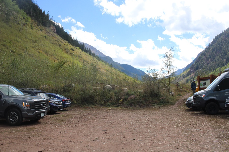
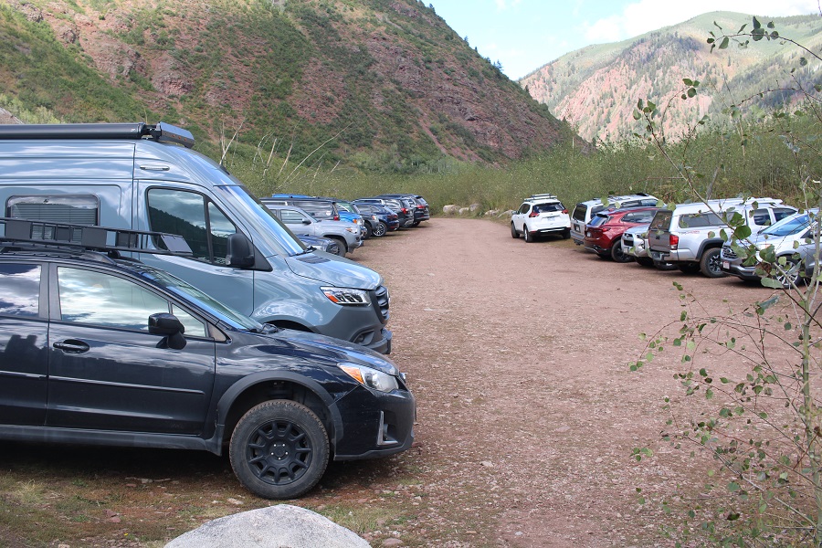
Due to weather, I wasn’t able to summit Hunter Peak along with the rest of the ridge last week, so I was back again to try to summit with the little bit of snow it had received in the past few days. I parked at the Conundrum Hot Springs Trailhead, and was on the trail at 4:30am.
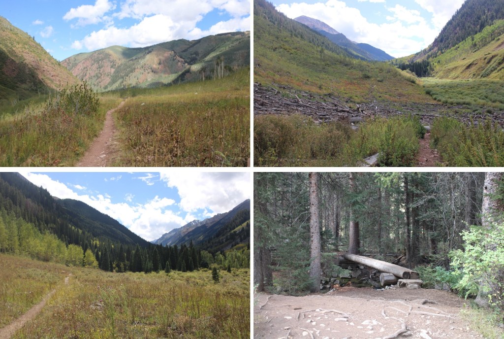
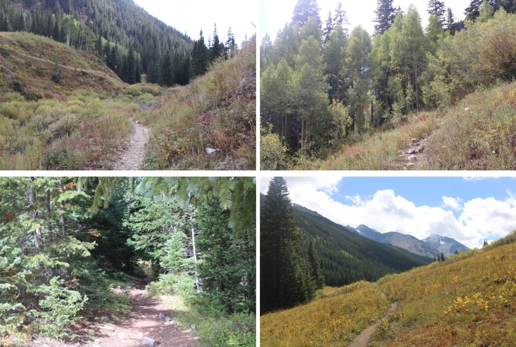
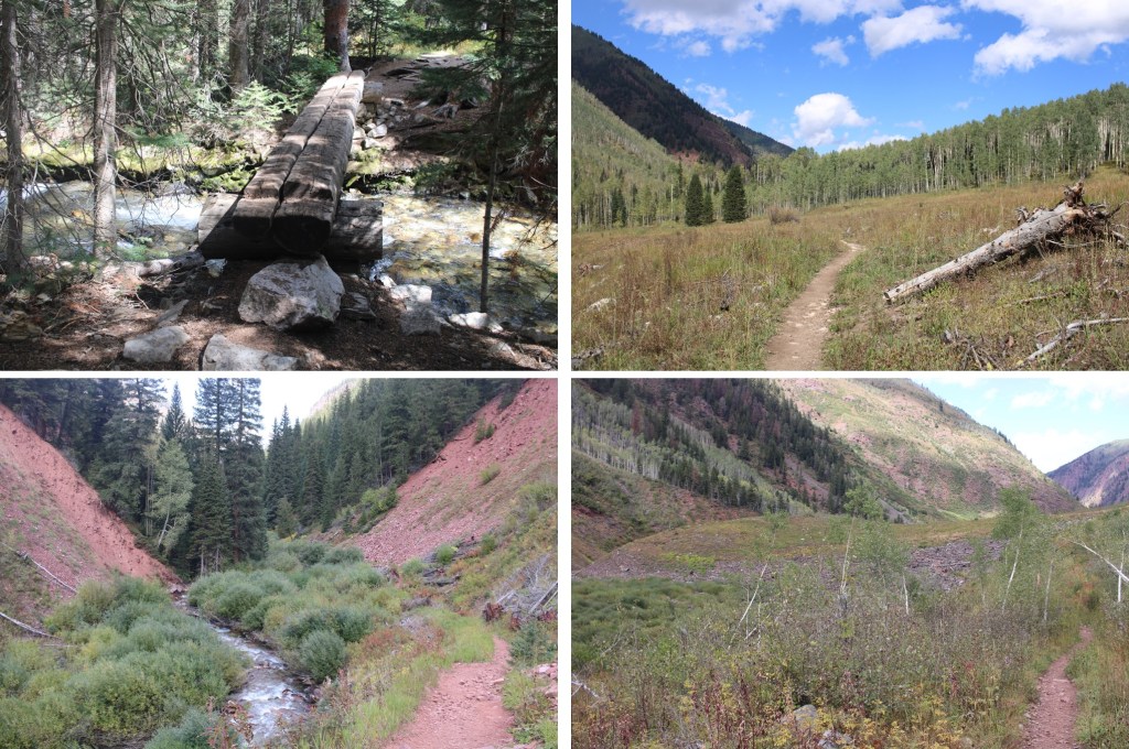
I followed the class 1 trail south for 5.75 miles
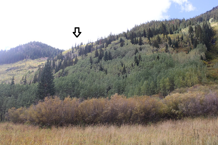
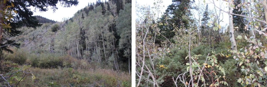
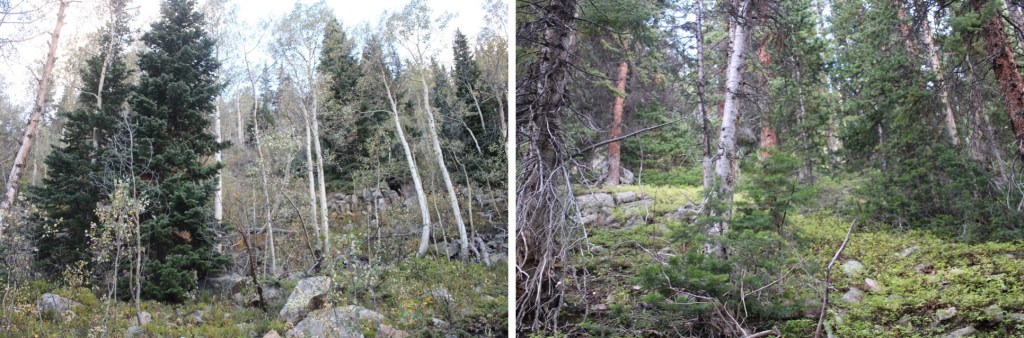
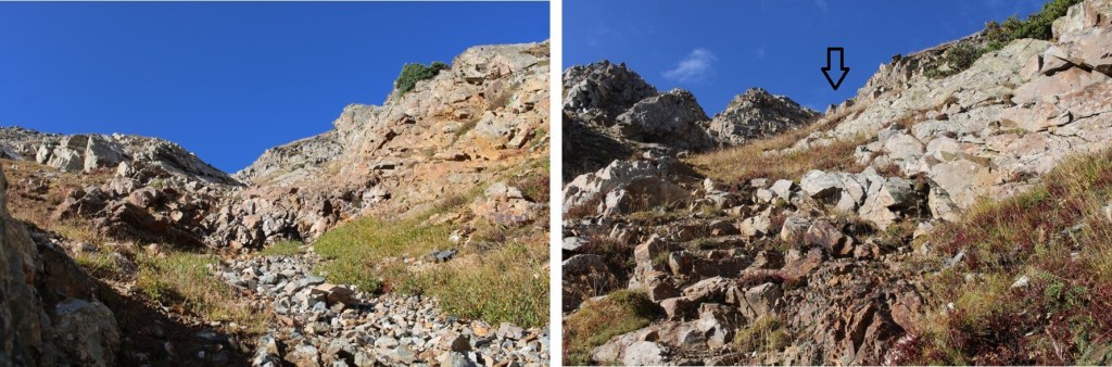
After hiking for 5.75 miles, and at 10040’ of elevation I left the trail and headed west up the hillside, staying in between two drainages. This included a lot of bushwhacking, but I was headed towards the arrow, staying more left, but really just trying to find a route through the trees to get thee. I didn’t see any game trails.
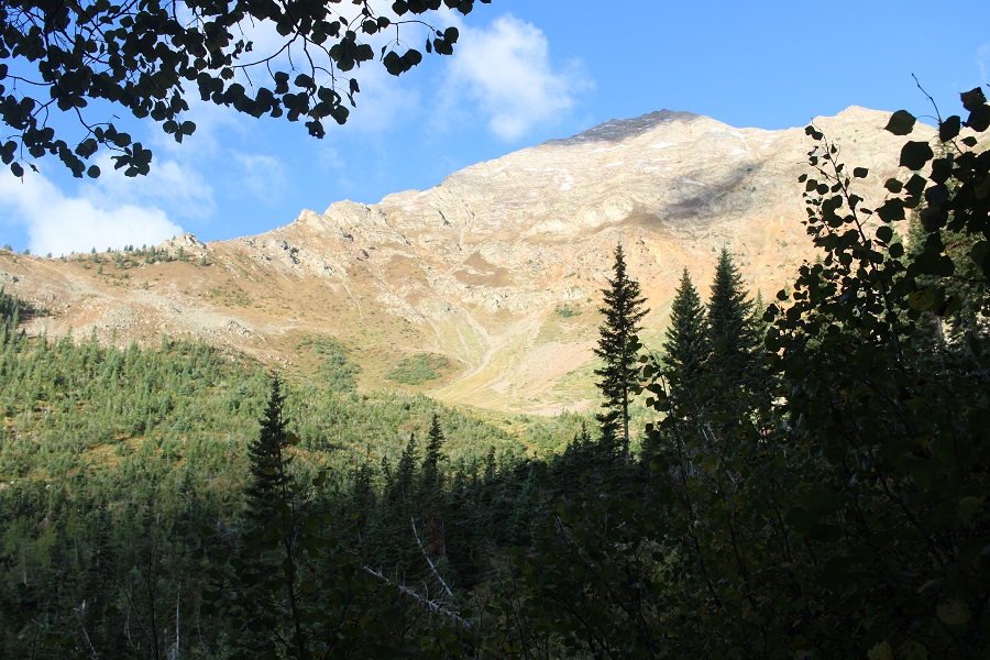
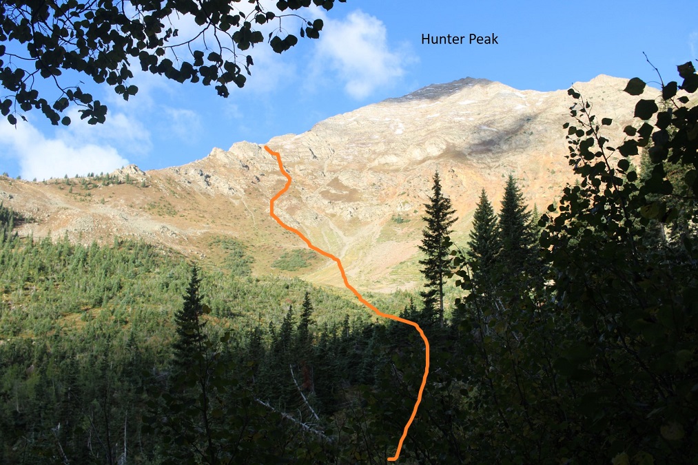
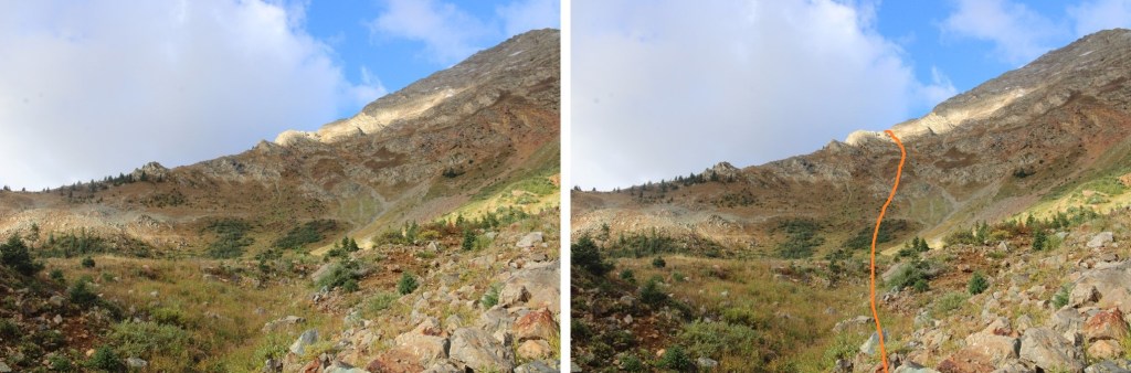
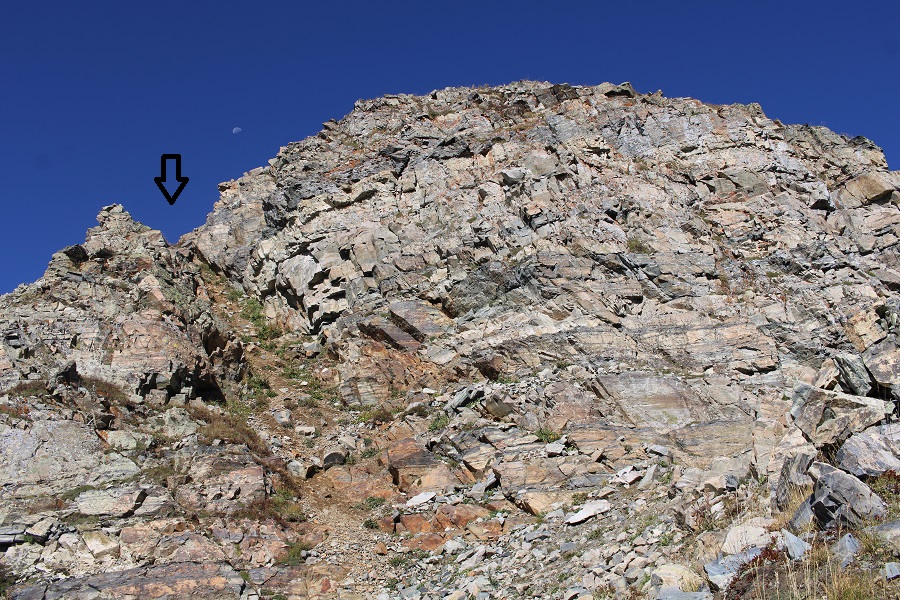
As I made my way out of the trees, I had a good view of Hunter Peak, and my intended route to the ridge
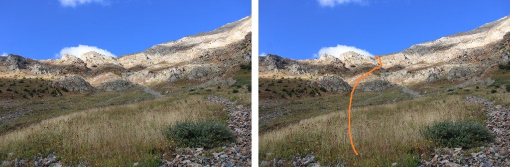
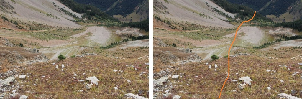
I made my way southwest towards the ridge, entering the basin

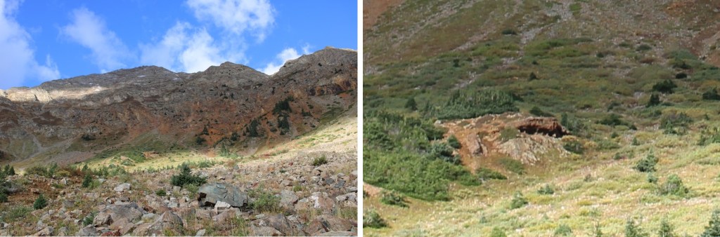
I was about halfway through the basin when I saw a cool cave in the middle. I wasn’t headed that way, but took a picture of it anyway. I thought I saw what looked like a bear standing at the mouth of the cave, but I was too far away to tell
A minute later, I heard talus scattering, and looked over to see a black bear running as fast as it could away from me. It was at around 12000’, booking it towards treeline.
Here’s a video of the bear running away from me. He was quite a fast bear.
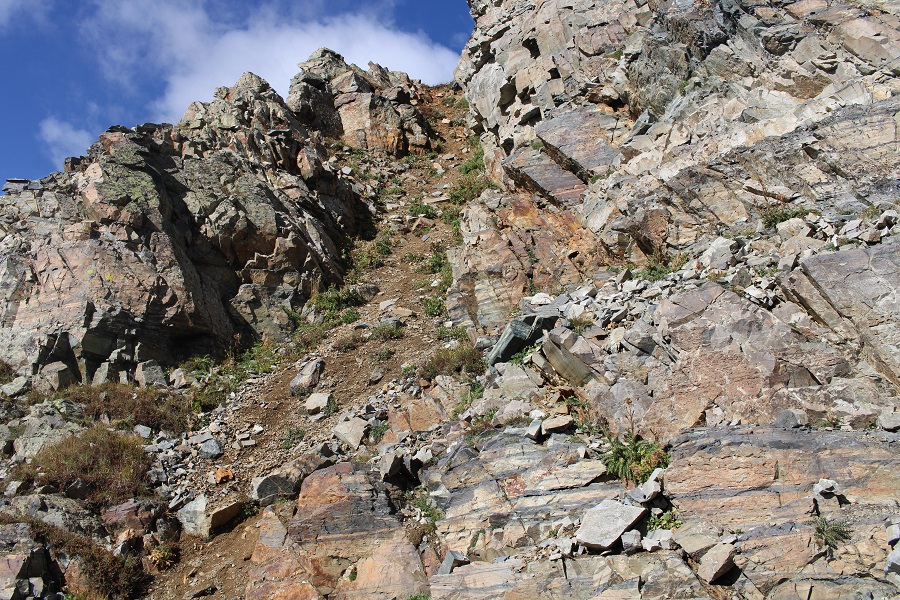
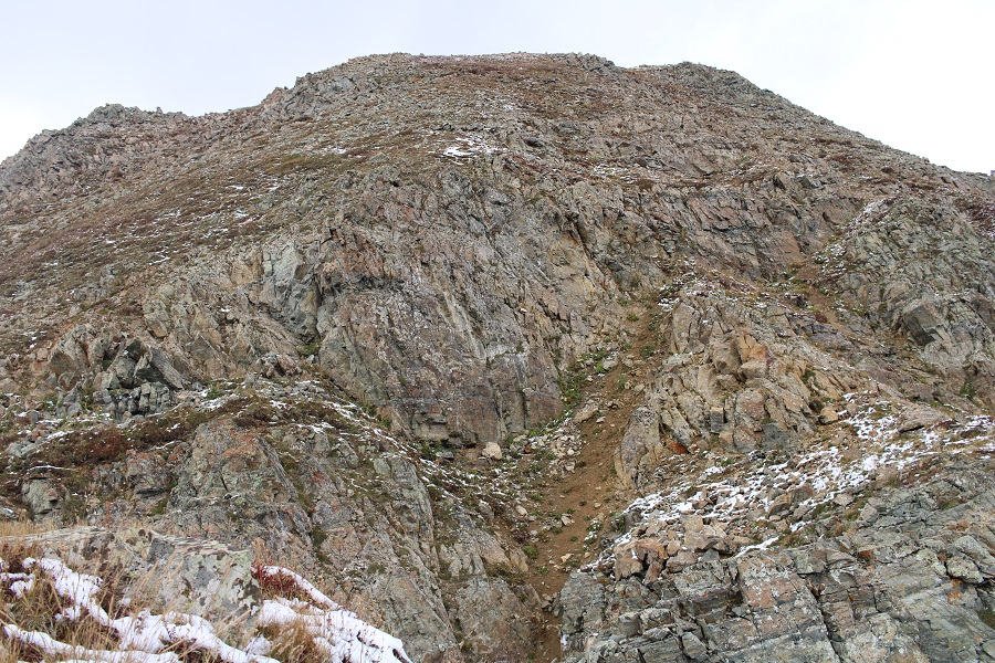
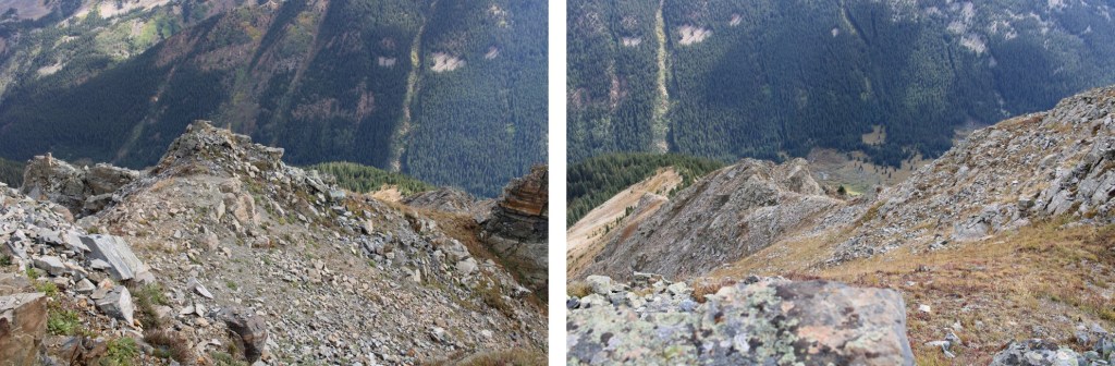
I continued heading towards the ridge. There were several choices for gullies. Here’s the route I took. This was all difficult class 2.
And some step-by-step pictures up the gullies to the ridge.


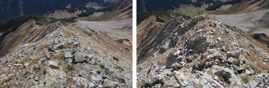
Once on the ridge I turned right, and followed the ridge northwest, immediately going up this gully
After ascending the gully, I made my way to the ridge, and stuck to it. This was class 2
There was another, final gully to ascend, also difficult class 2


I summited Hunter Peak at 10:30am
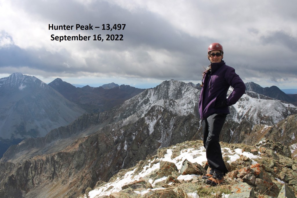
Hunter Peak:
The views from the summit were beautiful!


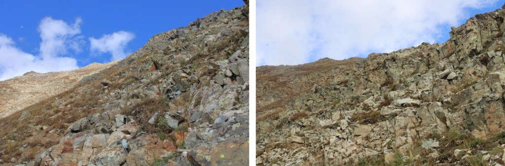
But it was starting to snow, so I retraced my steps back down the ridge and gully

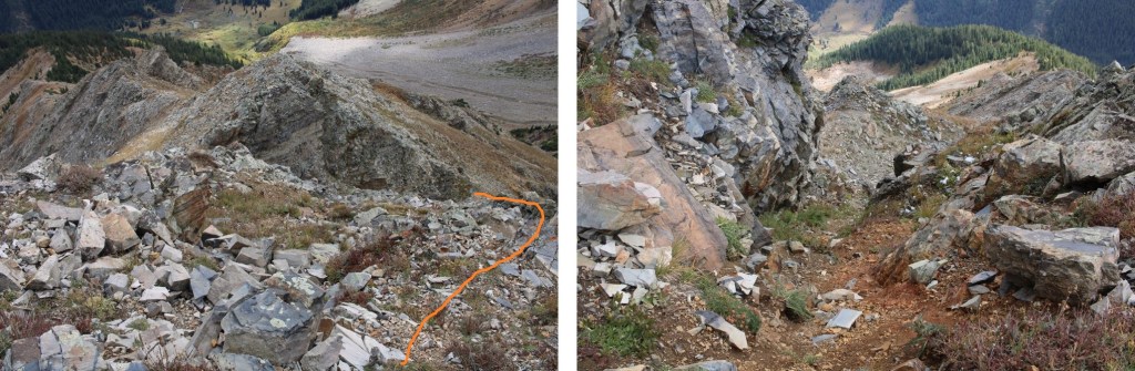
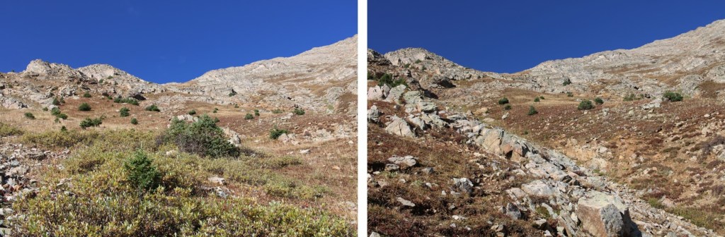
Both ways go, but the red dirt on the right is easier

Then it was down and out of the basin
It was starting to snow, so I headed towards that clump of aspens

Then bushwhacked east, back down to the Conundrum Hot Springs Trail

Once on the trail, I followed it north back to the trailhead

I made it back to my truck at 2:15pm, making this a 15.22 mile hike with 4854’ of elevation gain in 9 hours, 45 minutes.
On to the next trailhead!

Hunter Peak is named after my namesake uncle Gerald Hunter who, in service in the NFS gave his life while rescuing a civilian. His brother, my brother, and I hiked to its base, but did not climb it. Thank you for the virtual ascent.
~ Gerald “Jerry” Hunter
LikeLike