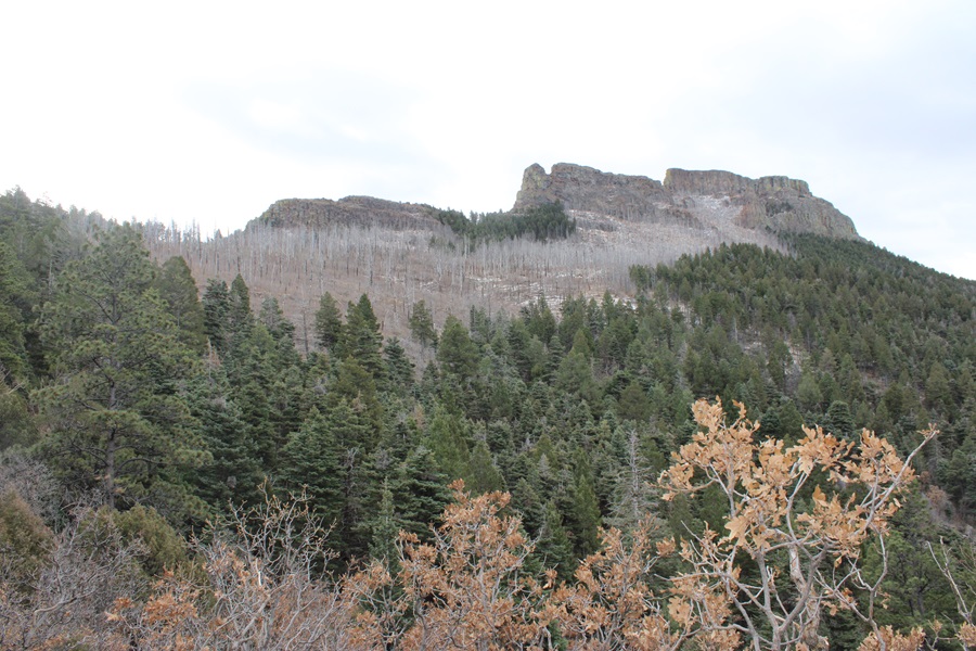
RT Length: 15.3 miles
Elevation Gain: 3588’
This peak has been on my bucket list for a while, but it was located on private property. Recently this property became a Colorado State Park (currently you need the Colorado State Parks Pass or to pay the $10 to park at the kiosk), and I was able to legally climb the peak. The park is open sunrise to sunset, so I didn’t get my usual pre-dawn start. There is plenty of parking at the trailhead, along with vault toilets and trailhead signs.

I parked at Fishers Peak Trailhead (the only trailhead in the park) and was on my way at 7am. The trailhead is obvious, at the east end of the parking area.
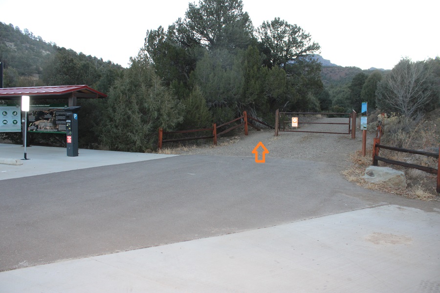
There were a limited number of trail maps at the trailhead, and I snagged one. If there isn’t one there, here’s a copy. I can tell you this isn’t the best map, and the signs can be confusing, but you basically want to take trail 1 to trail 2 to trail 3, then 4, 5, and 6. This may sound obvious, but trail 8 and 10 and 9 all lead to trail 2 as well (they just meander a bit).

Trail 1: Navy Blue on Map, Challenge Hill Section
Trail 2: Dark Magenta on map (as opposed to light Magenta), Osita Ridge Section
Trail 3: Blue on map (as opposed to Navy Blue or light blue), Shady Forest Section
Trail 4: Green on map, Stone Guard Section
Trail 5: Light blue on map (Peak Approach Section)
Trail 6: Brown on map (Summit Loop Section)
I followed the Challenge Hill section for a short while (maybe 100 yards) before coming to a junction with several other trails. I could see Fishers Peak from the parking area.

At the junction I stayed on the Challenge Hill Section, which is the wide path that goes straight (yes, this can be confusing, stay on the road).

The road quickly begins to gain in elevation. I gained 770’ of elevation in just under 1.5 miles.

After hiking for about 1.3 miles, I came to another junction. If you accidentally took trail 10 or 8 or 9, you’ll end up here as well.
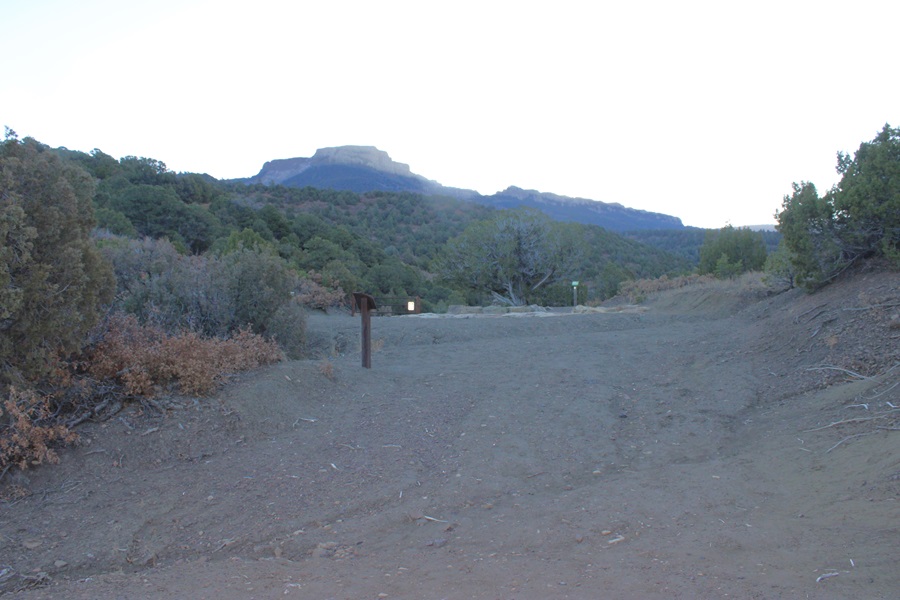
I continued east, taking the Osita Ridge Section

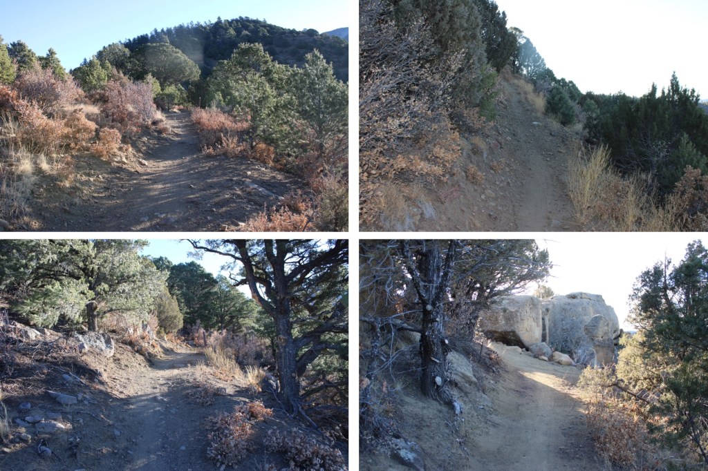
Now the trail became more of a bike trail than a hiking trail. It meandered around mountainsides instead of over them, and had a lot of small ups and downs, which I’m assuming make biking up hill easier? I can see problems in the spring with rain and runoff collecting in pools on this trail, but for now it was just mildly annoying.
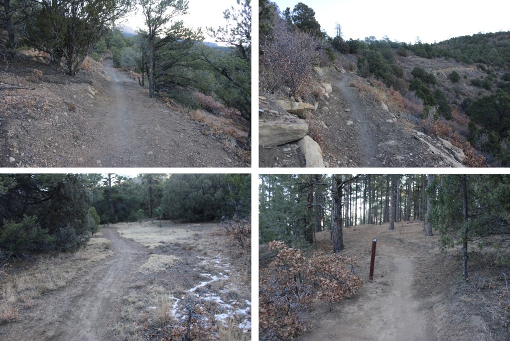
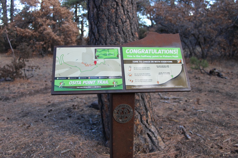
After hiking for 3.85 miles I came to a junction, which congratulated me for making it halfway. I like how the sign asks the hiker if they are truly prepared for the second half of the hike.
At this junction I turned right, and followed the Shady Forest Section. If you go left, you can hike .4 miles up to Osita Point.


About 2 miles of hiking brought me to a gate. The sign says this portion of the trail is closed March 15-July 31 for Raptor breeding season. So if you’re going to do the peak, don’t plan on coming during that time. This is also a good place to leave your bike if you rode one, as the trail becomes much more rocky and there are stairs involved.

I was now in the Stone Guard Section, and followed the class 1 trail south as it gained the ridge.
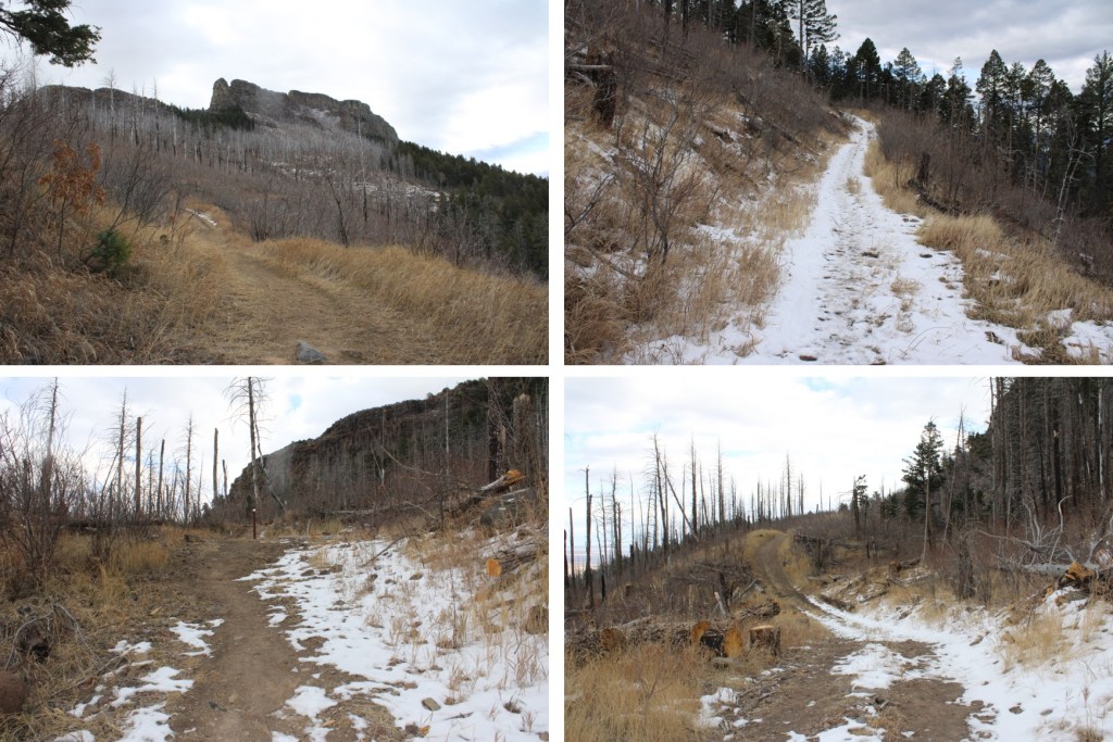
There are a couple of gates here, but the trail doesn’t intersect them, and the path is obvious

I came upon some stairs, which is the beginning of the ‘hard’ part of this climb. This is a fairly new trail, but the workmanship in the stair and narrow areas doesn’t look like it will last long. I can see it eroding in a year or two, or even after this winter/spring season. Although this is a class 1 trail, care should be taken not to dislodge a rock or slip off the side of the trail.
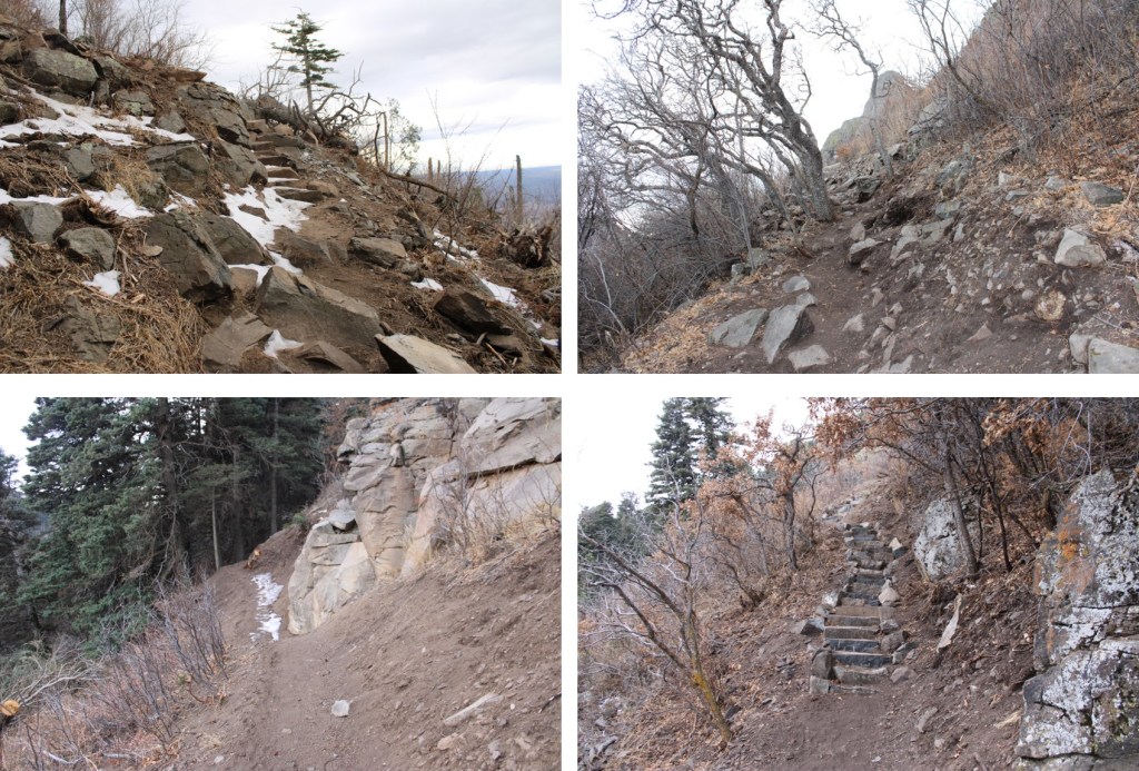

When you see these signs, you’re almost to the summit. There’s a little bit of scrambling here, but only for about 20 feet or so.
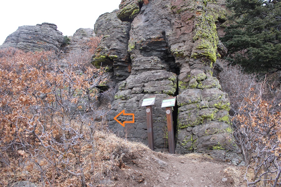
The trail here is not obvious, but you’re trying to ascend these rocks.

At the top of the rocks I was surprised to be greeted by a mesa. There is a well-established trail here, that goes around the mesa. You can go either left or right. I went left. This is the Summit Loop section of the trail.

The actual summit can be difficult to discern, as there are multiple large cairns that look like the summit. It you go left as I did, the summit will be the first large cairn you come to. Because I wasn’t sure at the time, I went all over the mesa to make sure this was indeed the true summit.
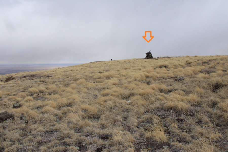
I summited Fishers Peak at 10:15am. This video is from the middle of the mesa.
Fishers Peak:
Now to head back down. I simply re-traced my steps back the way I came

Back down the rocky area

Then I followed the trail backwards, taking sections 5-4-3-2-1
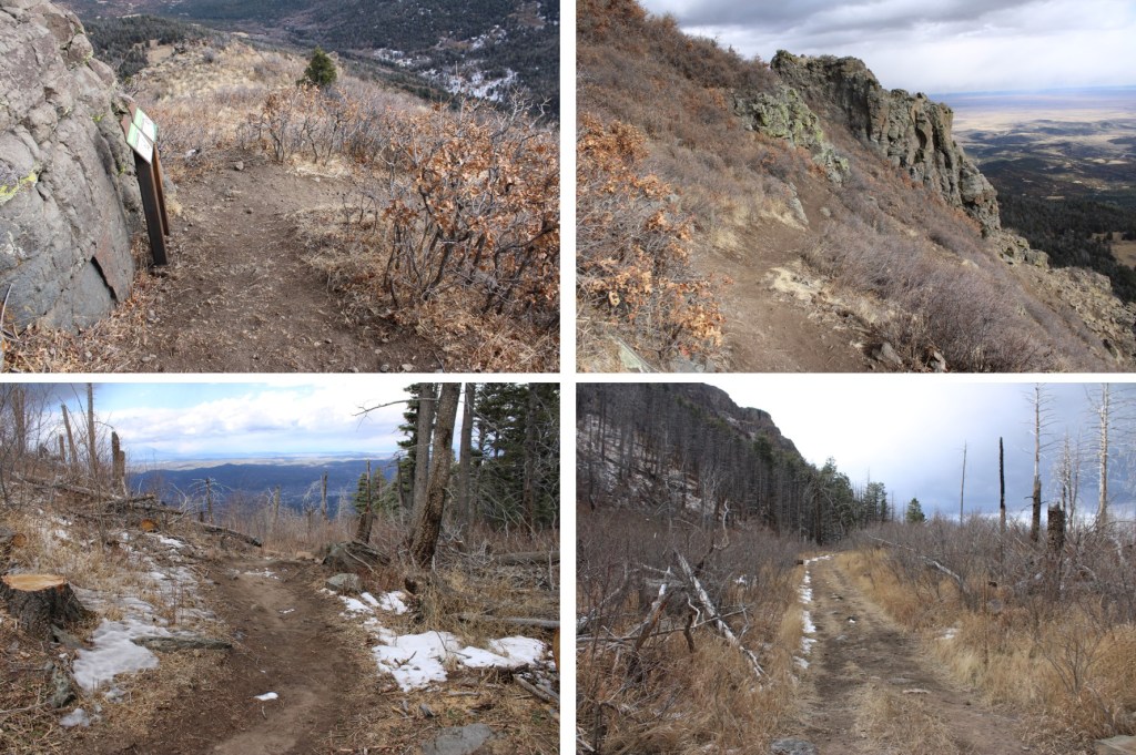

It wasn’t supposed to start snowing for another two hours, but mountains have a way of making their own weather. It started graupeling pretty heavily.
Graupel:
I continued on through the graupel, following the well established trail


At the junction of trail 1,2,9 & 10 I followed trail 1, the Challenge Hill Section (the one that’s a dirt road), back to the trailhead. You can take any of the routes, the others will just be longer.
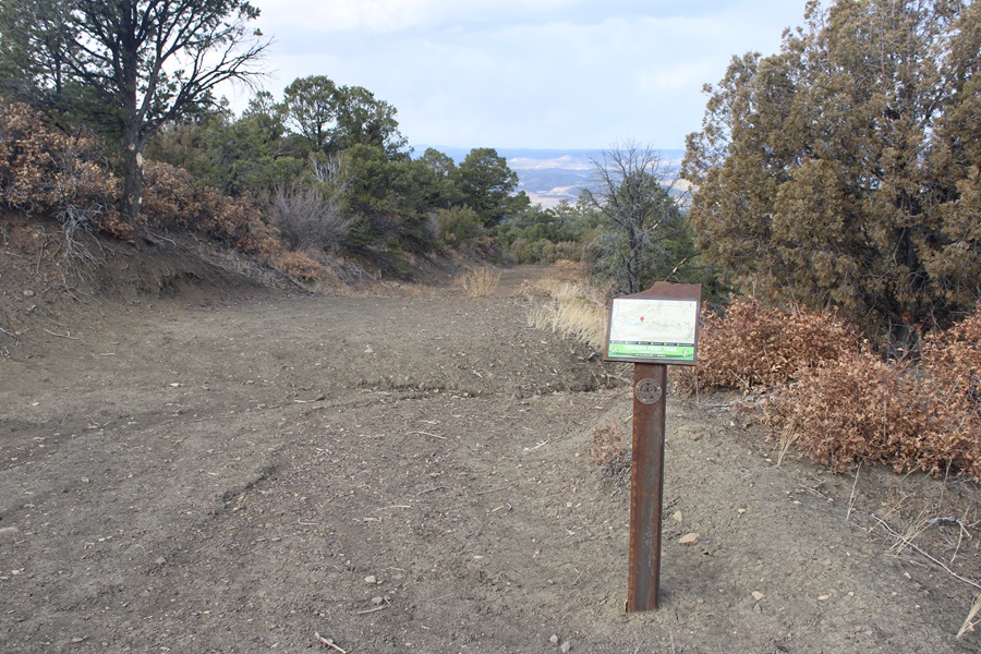

When I got back to the trailhead, my truck was still the only vehicle in the lot, leading me to believe not many people know the park is open

I made it back to my truck at 12:45pm, making this a 15.3 mile hike with 3588’ of elevation gain in 5 hours, 45 minutes
On to the next trailhead!