RT Length: 9.81 miles
Elevation Gain: 3162’
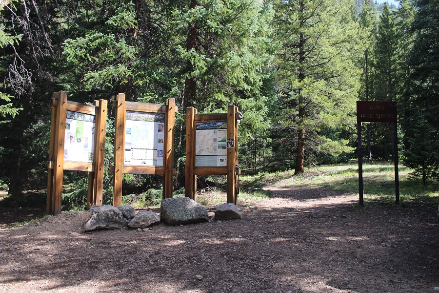
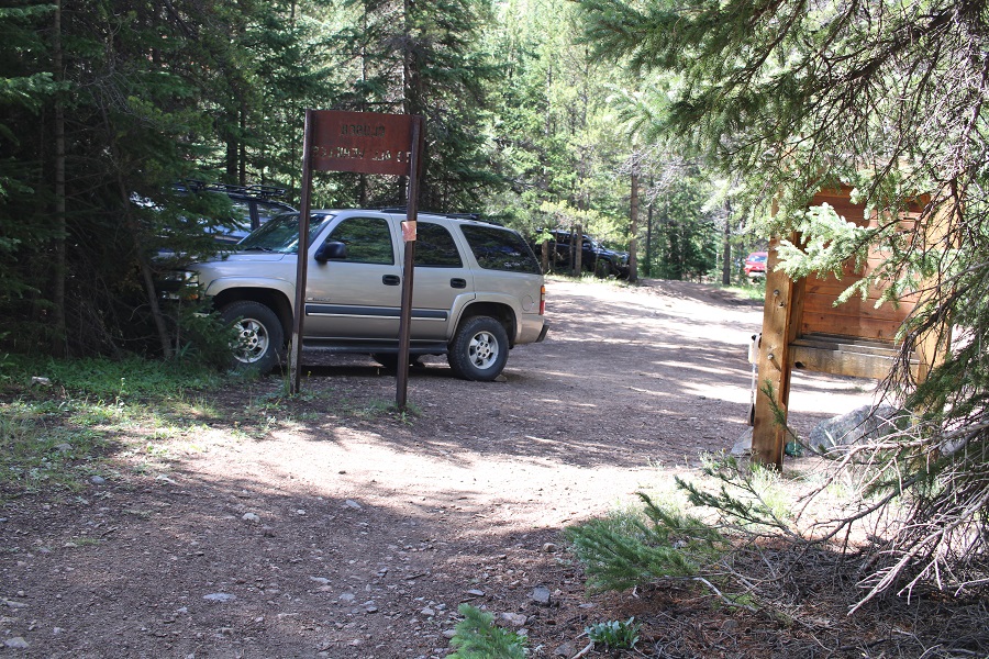
I arrived at the North Halfmoon Creek Trailhead to find it almost full at 3:30am, with several vehicles parked just below the final ‘difficult’ section. Pro tip: If your vehicle cannot make it all the way to the trailhead, do NOT park it just below the difficult section, as it’s narrow and I barely avoided hitting several vehicles on the way down later in the day. I was driving a Tacoma; I can only imagine the difficulty a larger vehicle would have passing poorly parked cars in this area. If your car can’t make it, do us all a favor and park in the 2WD parking area. The upper 4WD parking area was full of 4Runners, Suburbans, and trucks.

I was on the trail at 4am. The sky was clear and I could see stars, but apparently it had rained the night before, and I was quickly soaked.
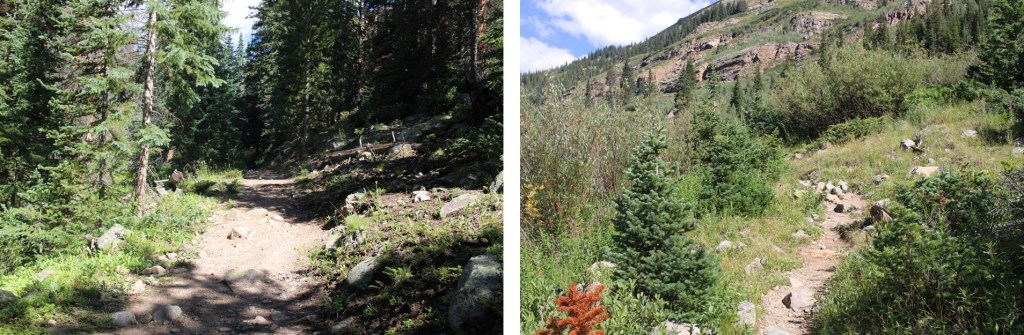
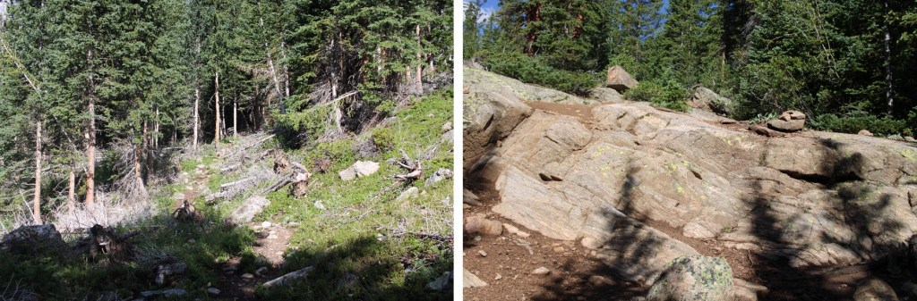
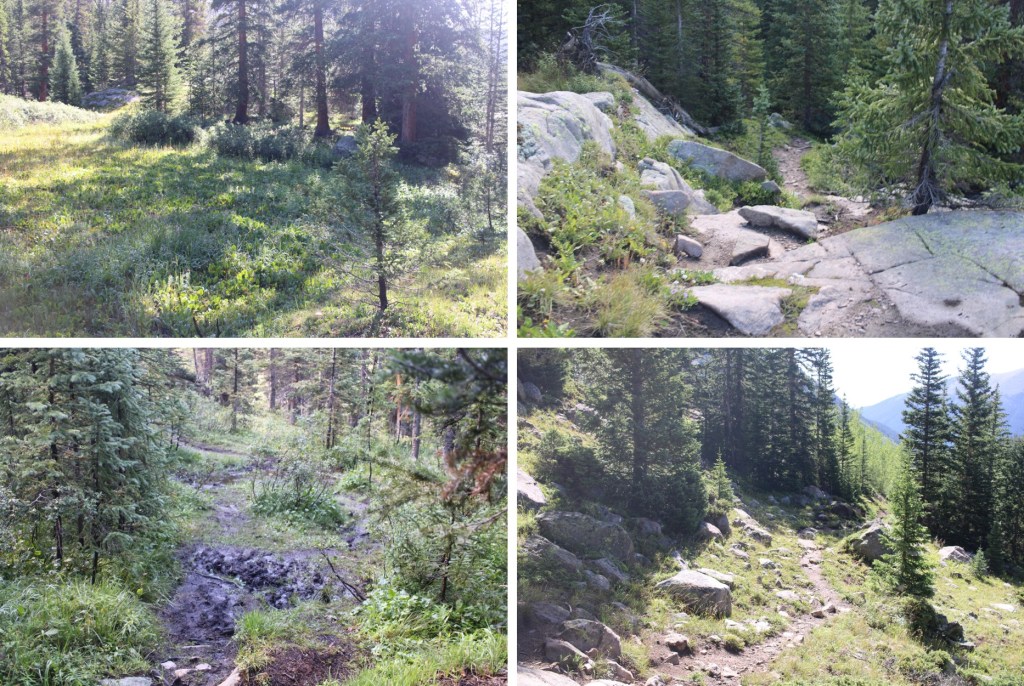
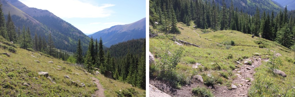
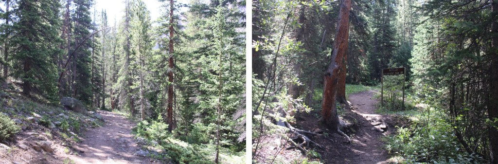
The trail was an easy to follow, class 1 trail
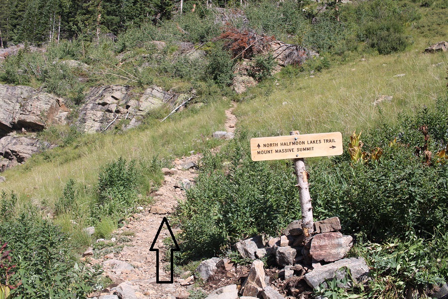
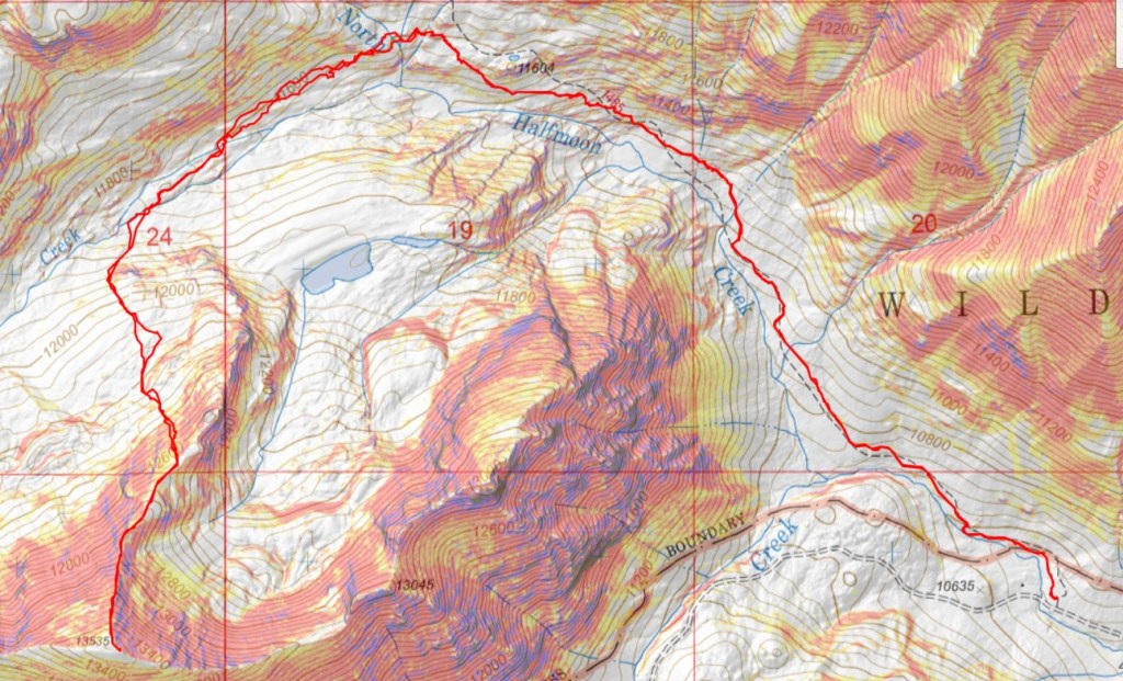
At the junction, I continued straight on North Halfmoon Lakes Trail
This was still a class 1 trail, with some fun boulders thrown in. These were easy to navigate, with cairns to guide the way.
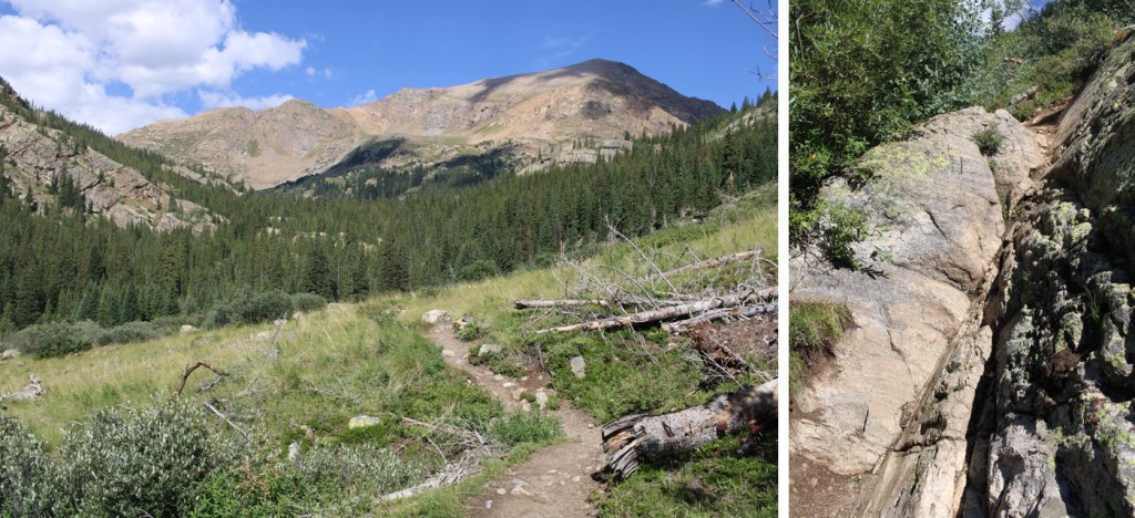
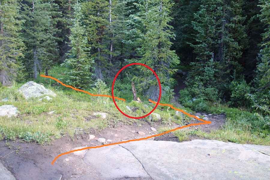
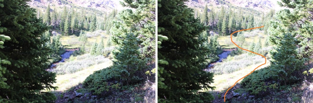
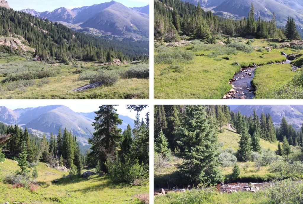
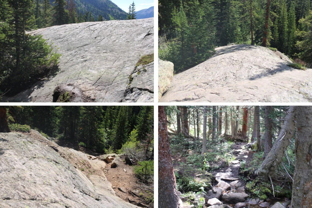
After hiking for 2 miles, I came to an unmarked junction and left the North Halfmoon Lakes Trail and followed a social trail to a stream.

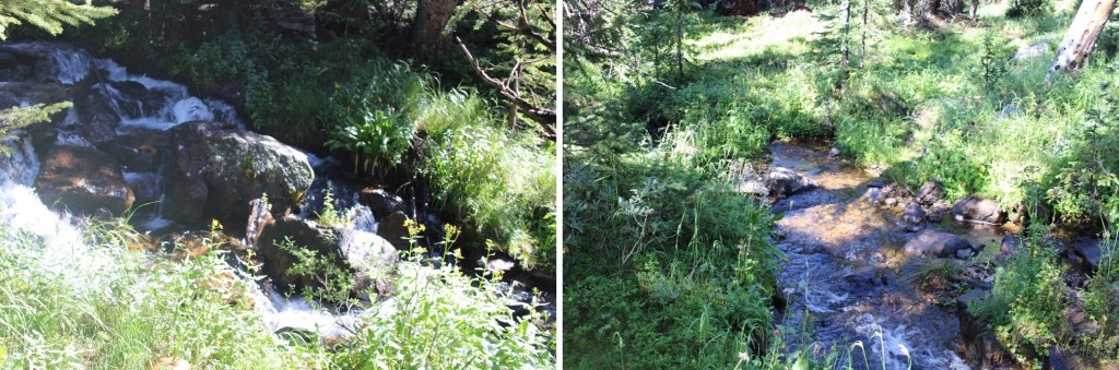
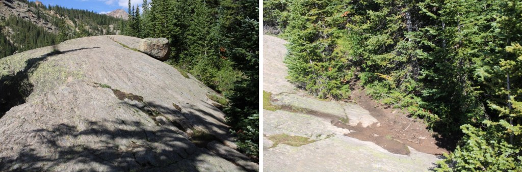
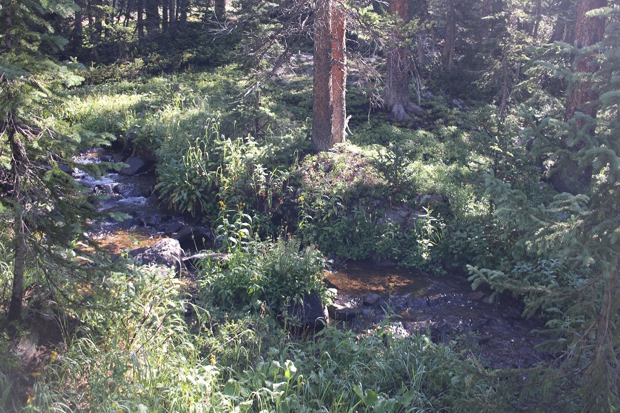
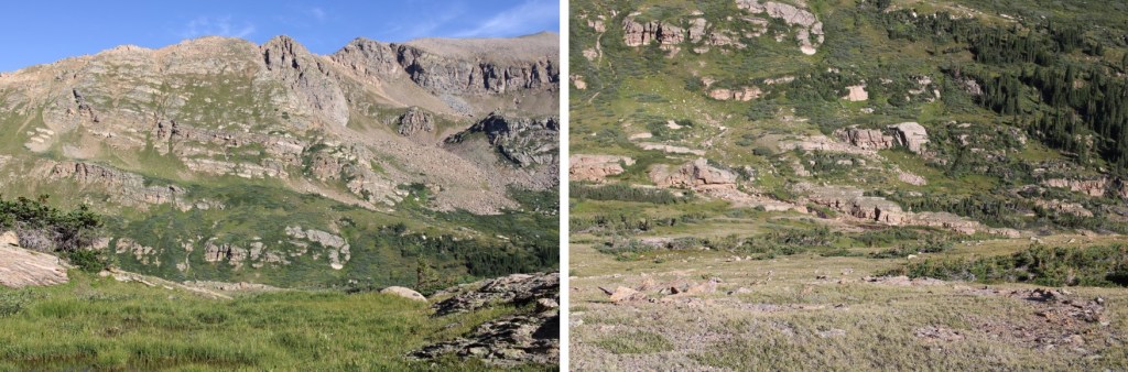
There were several small streams to cross, and no established trail. I continued heading southwest, staying above North Halfmoon Creek, doing my best to avoid the boulders. This was all done below treeline, so pictures don’t help much. I stayed level at around 11600’
I came to an avalanche area, crossed it, and continued staying at 11600’

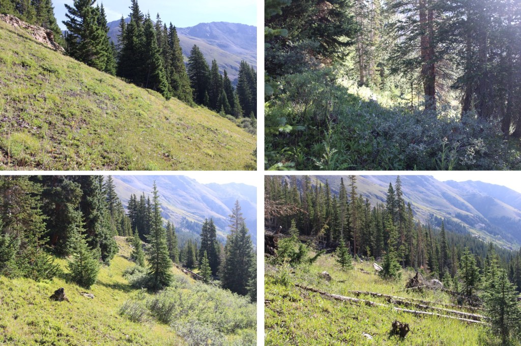
Eventually I could see North Halfmoon Creek, and an easy place to cross. I crossed the creek, and headed southwest.
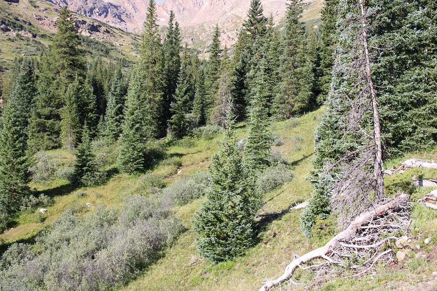
There was a drainage that was easy to follow

I crossed the creek again (once again, easy) and continued heading southwest
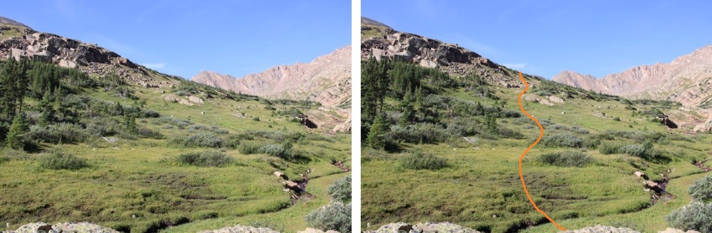
At 11900’ I turned and headed south, up this hill

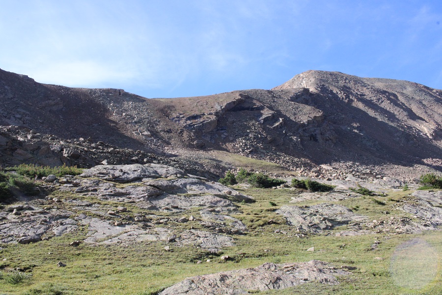
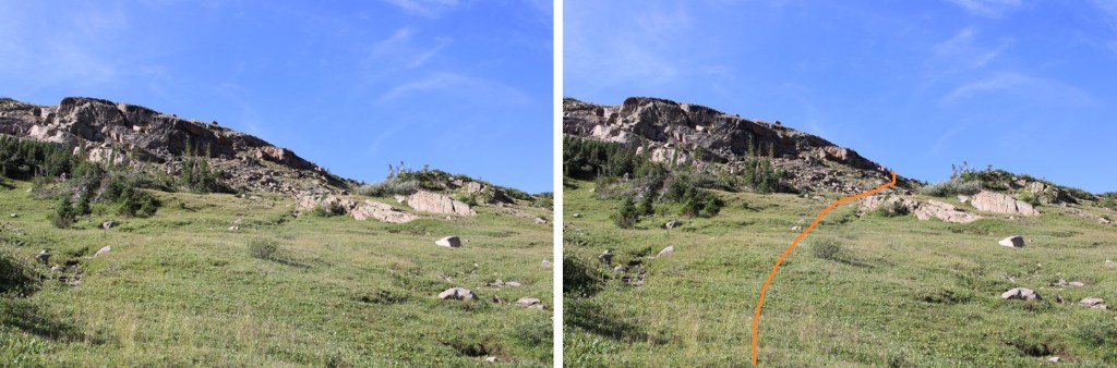
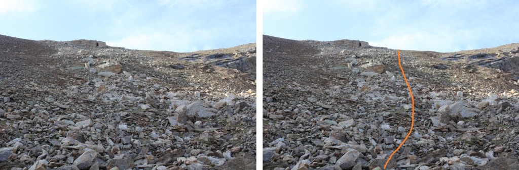
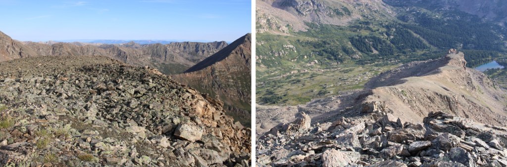
This led me to the upper basin. Here’s my route to the ridge. This is choose your own adventure. I tried to keep it between the rocks and the scree. I took the rocks up, the scree down.

Here are some close-up pictures of the route to the ridge
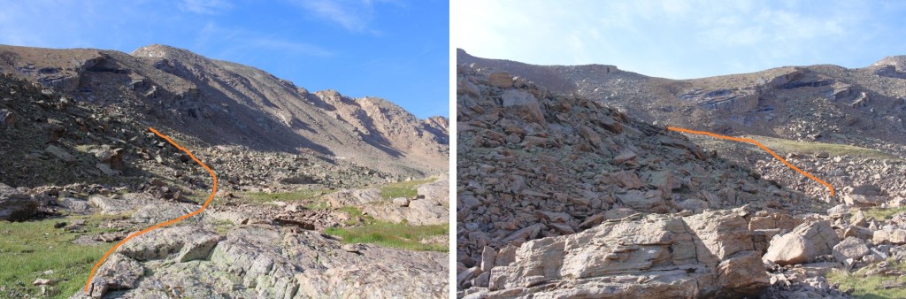
Once on the ridge, I turned right and followed it southwest
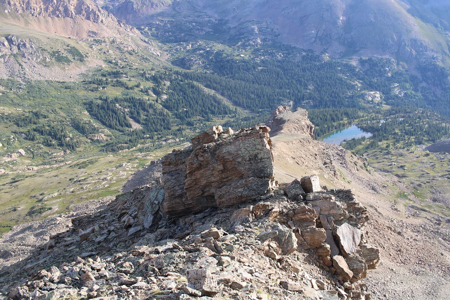
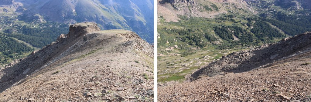
This was all class 2. There was a short class 4 section, but it could be easily avoided by dropping down to the right a little bit, then regaining the ridge
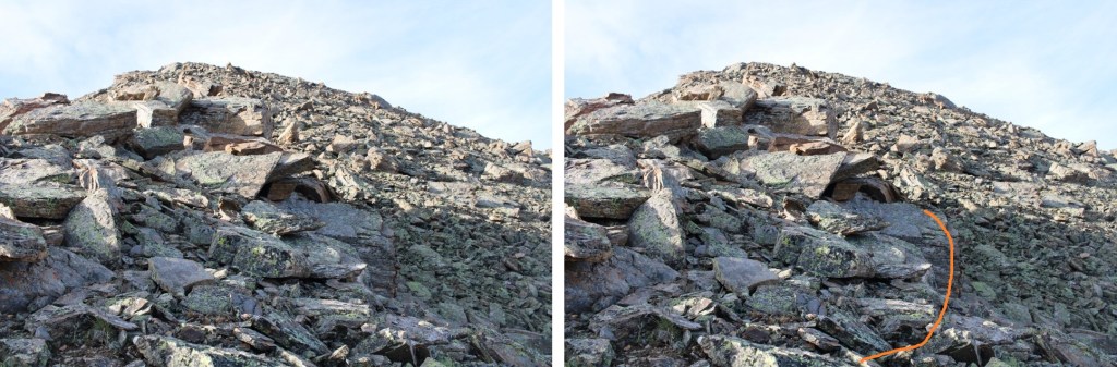
Here’s looking back at that rock you’re trying to avoid
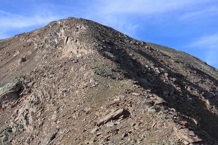
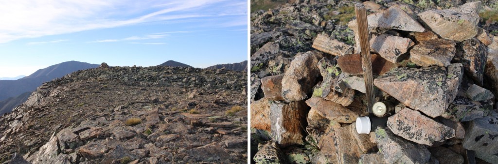
Now it was an easy, class 2 ridge hike to the summit

There were 2 summit registers at the summit. A plastic tube with I (surprise!) wasn’t able to open, and a glass jar with a register I signed.
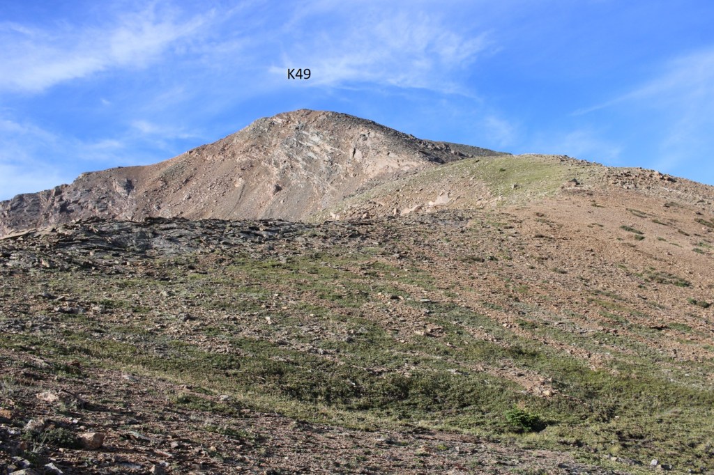
I summited K49 at 7:45am
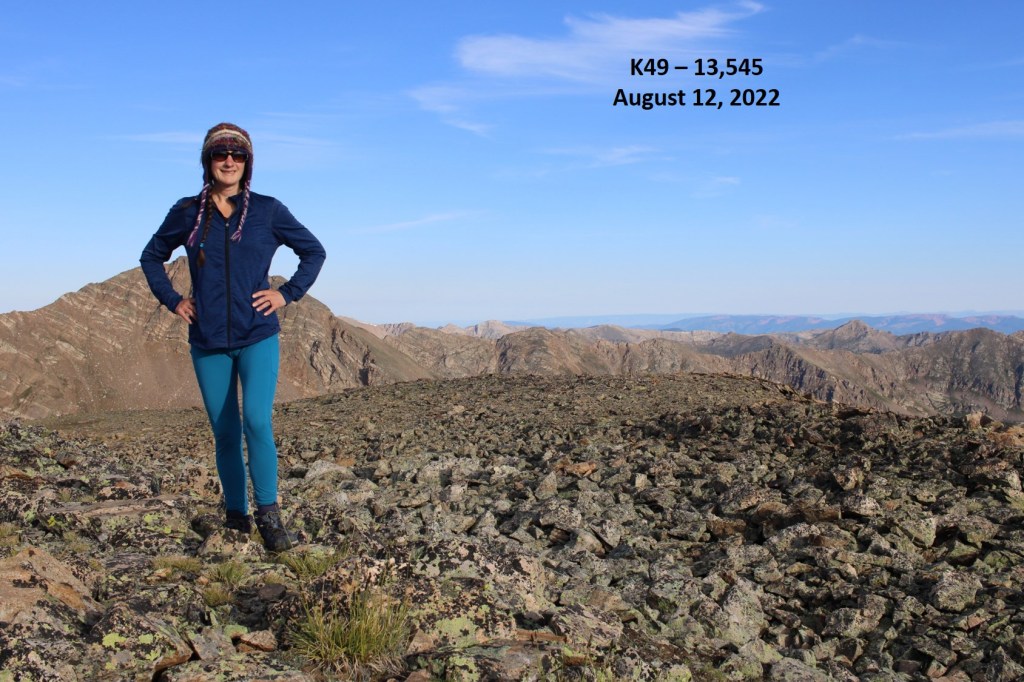
K49:
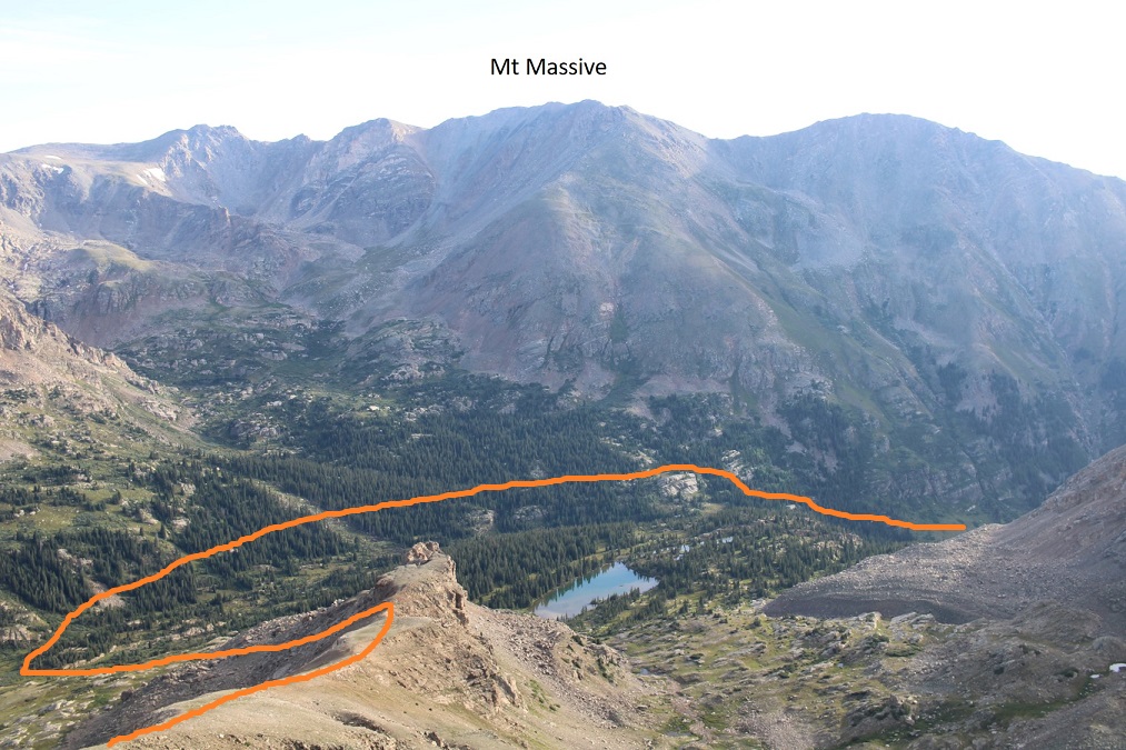
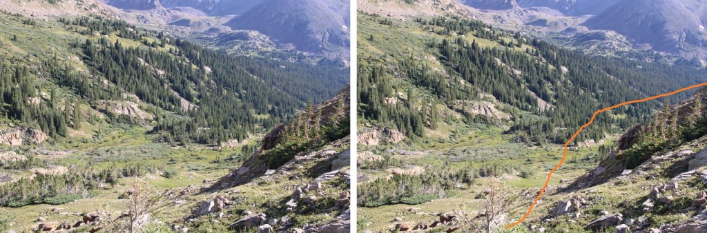
From the summit, here’s a view of Mt Massive, and my route in/out. Now is a good time to get a view of your exit route, and the avalanche run-out you’re aiming for on your way back
I turned and re-traced my steps back down the ridge
Then back down the scree towards the basin and North Halfmoon Creek
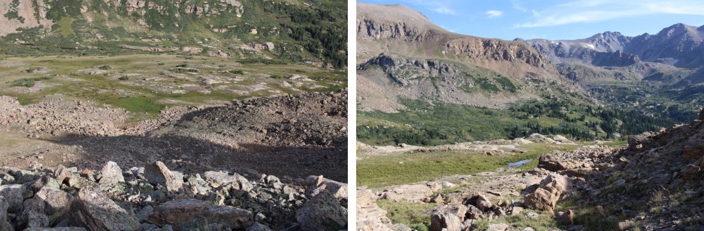
Here’s my route across the creek and staying at 11600’ until I met back up with the trail
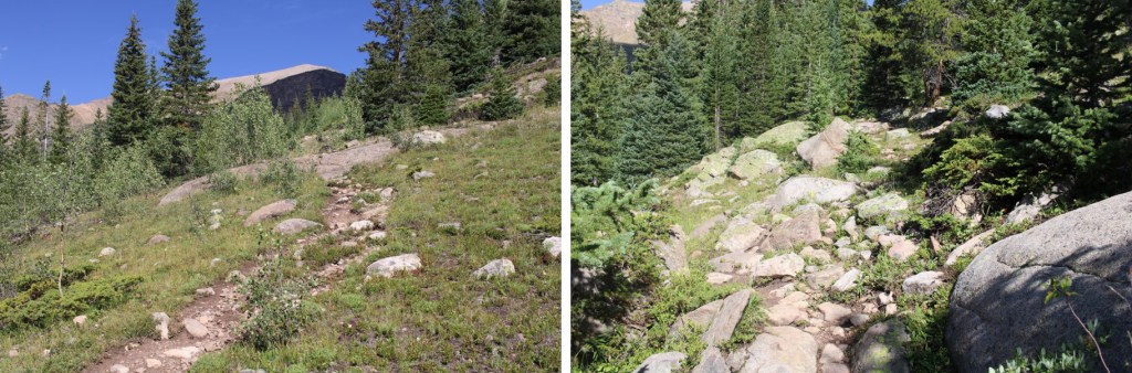
After passing the avalanche debris I was quickly able to hook back up with the trail
And follow it back to the trailhead
I made it back to my truck at 10:30am, making this a 9.81 mile hike with 3162’ of elevation gain in 6.5 hours.
On to the next trailhead!
