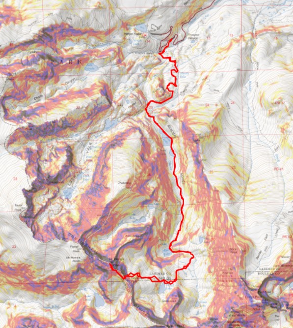
RT Length: 17.46 miles
Elevation Gain: 4442’
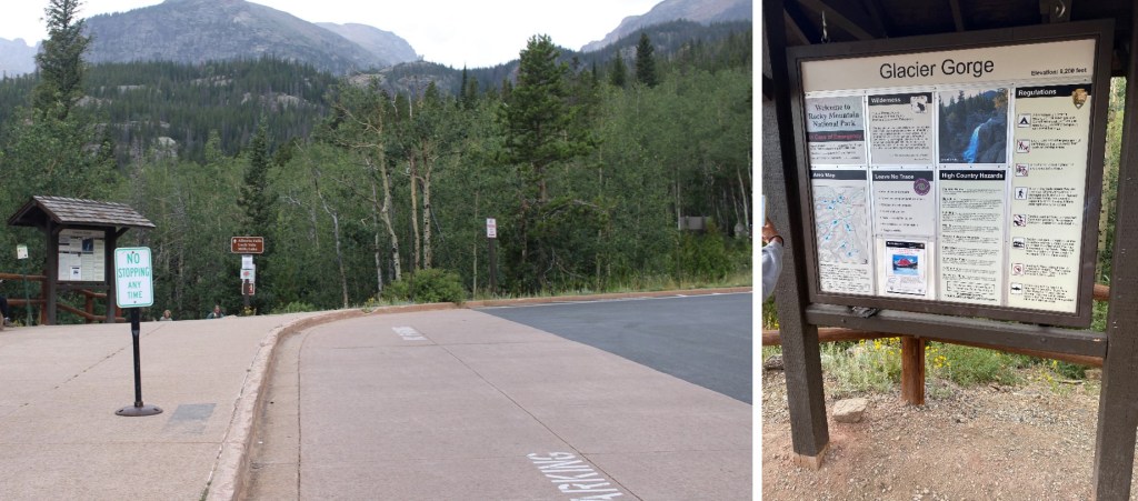
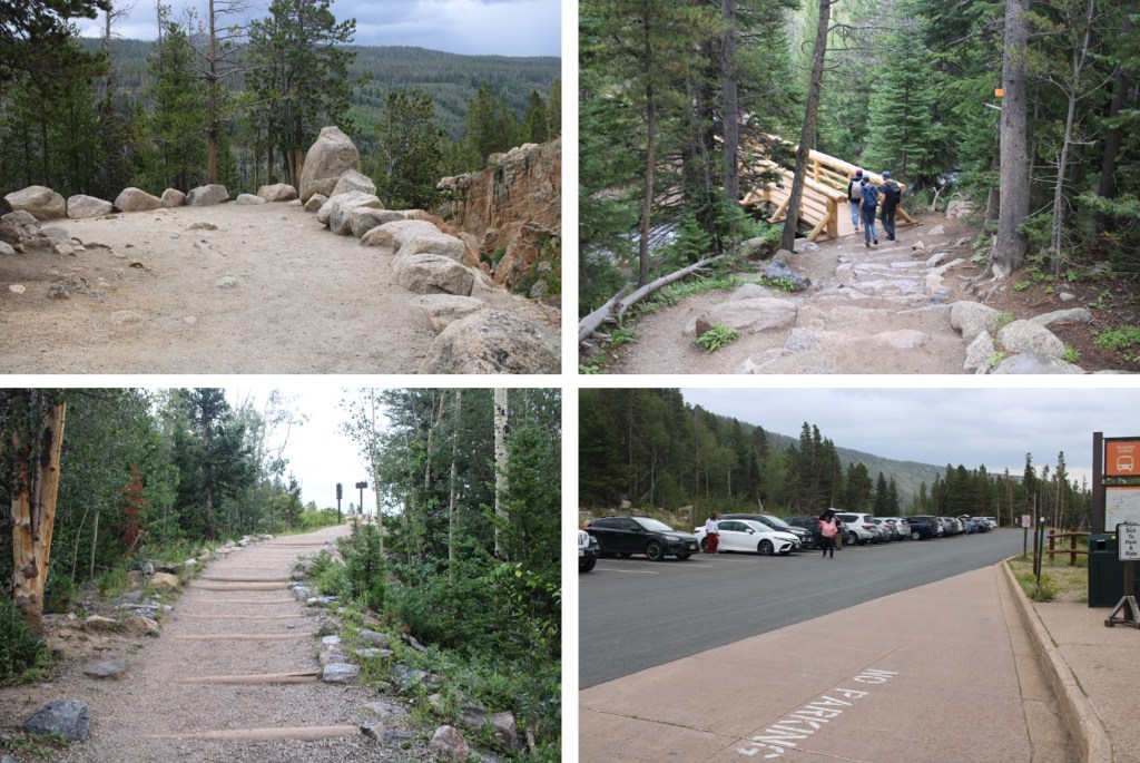
I started from the Glacier Gorge trailhead in Rocky Mountain National Park at 3:30am. There were already several parties in the parking lot (probably 10 vehicles), but didn’t see another person on my route all day. This is also a bus stop for access to Glacier Gorge (and lots of other hikes). All this means is that it was overly crowded the last 2 miles of the hike on my way down. Passing people became impossible, and more of a stroll as I hiked out with hundreds of other hikers.
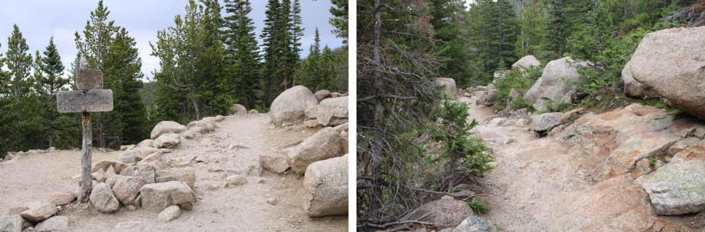
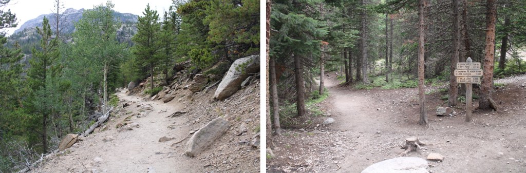
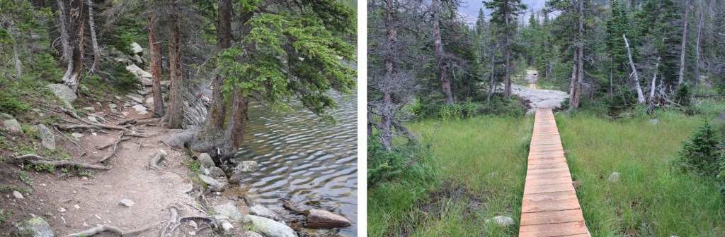
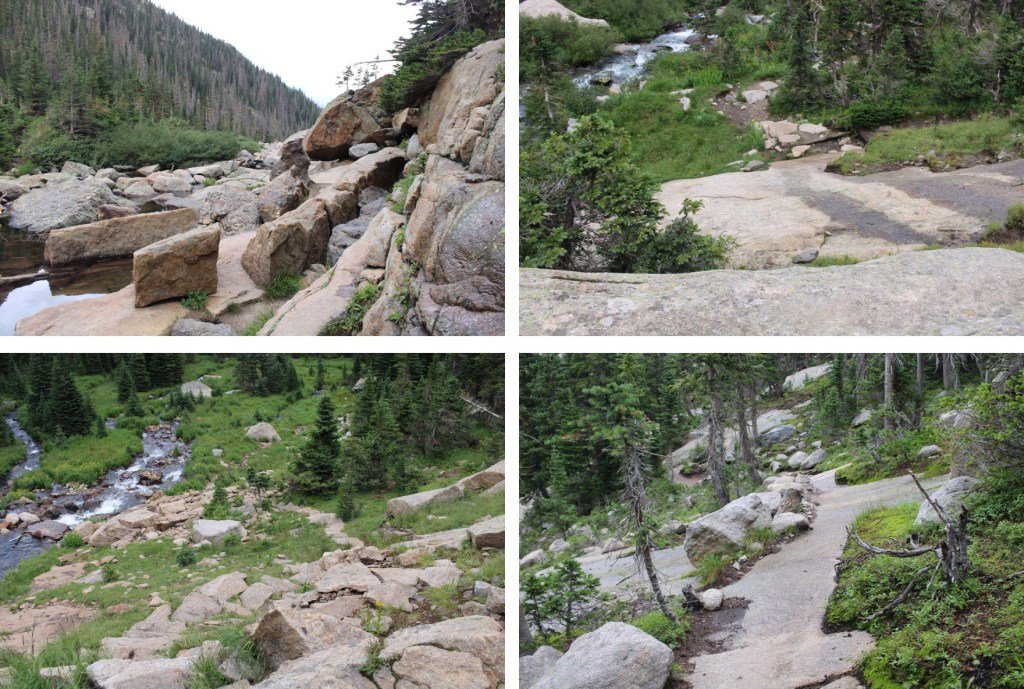
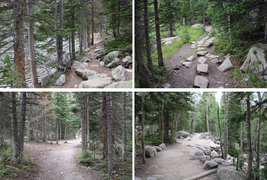
I followed the class 1 trail, staying on the Mills Lake trail. There were wonderful signs that made getting lost difficult.

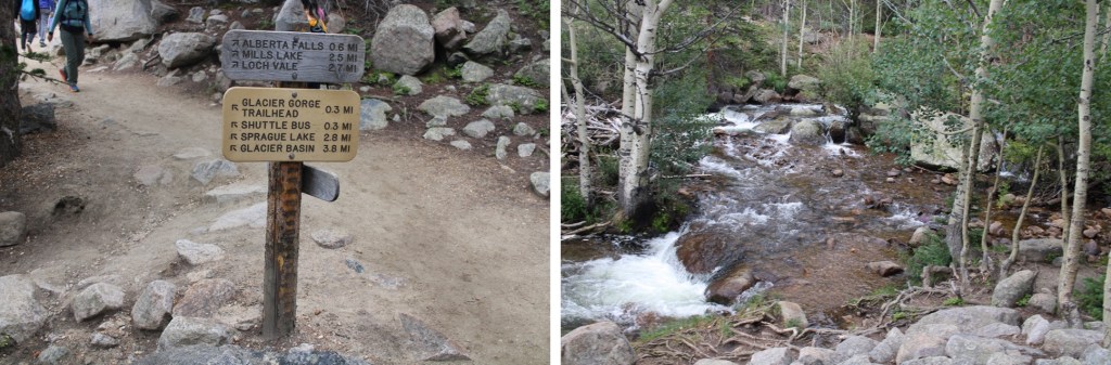
I passed Alberta Falls at 1.15 miles, and continued following the trail to Mills Lake

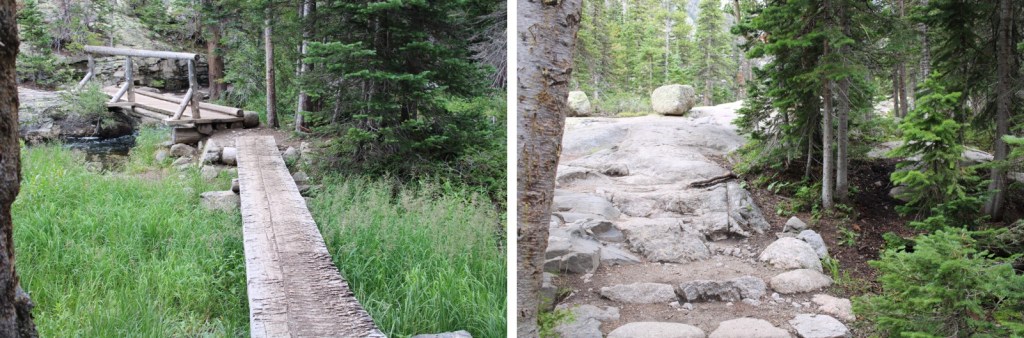
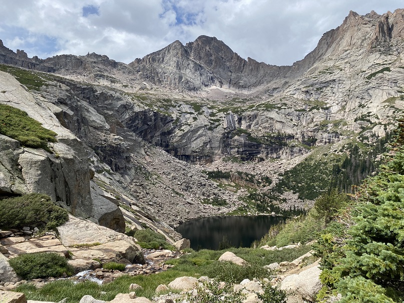
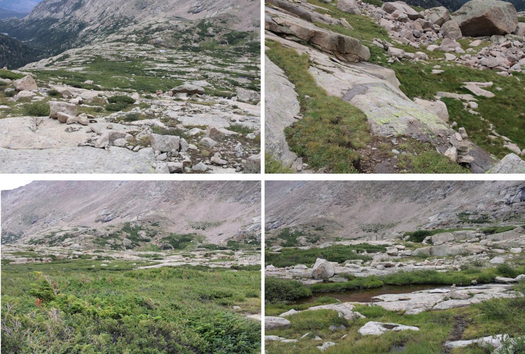
After hiking for 3.35 miles I passed Mills Lake, and at 3.85 miles I passed Jewel Lake. Side note: there’s great fishing here. Lots of hungry trout, eager to feast on any worm you drop in. The larger trout are in the stream above Jewel Lake, and in Mills Lake.
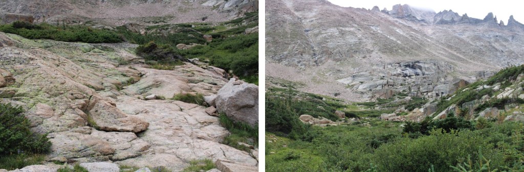
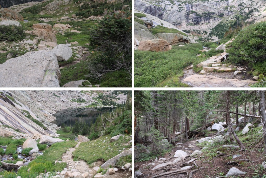
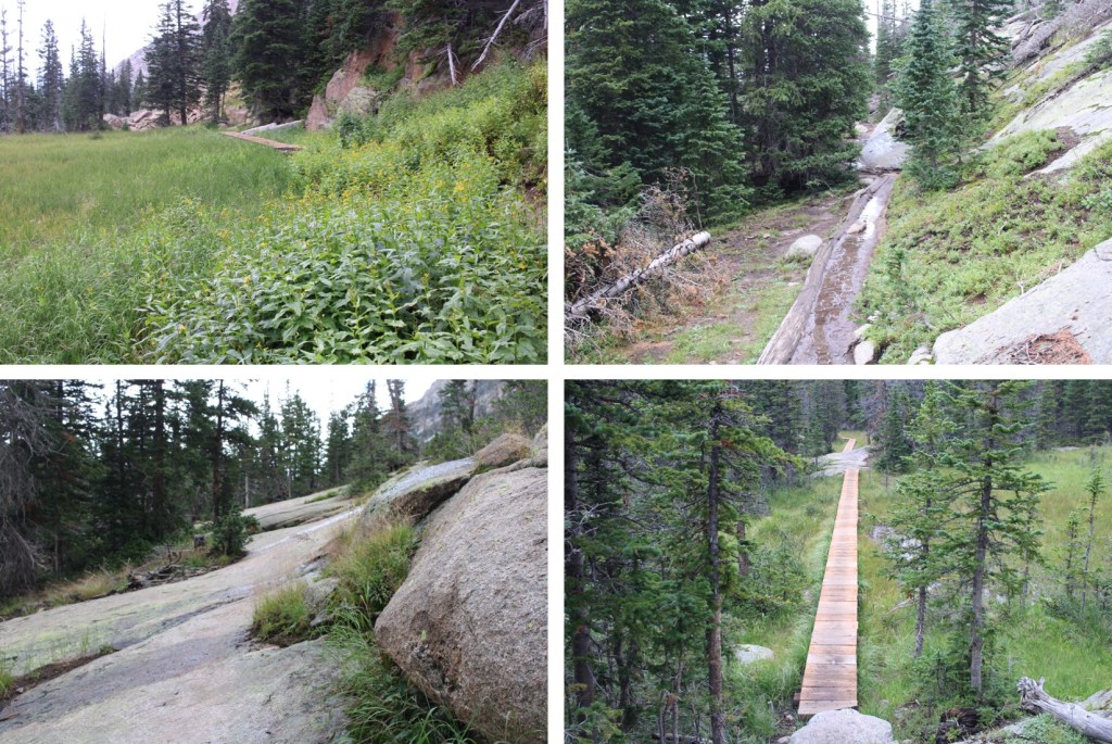
I continued following the class 1 trail all the way to Black Lake (6 miles in). This part of the trail had a lot of wood foot bridges, and rock slabs to cross. All class 1, but the rock slabs were tricky to navigate in the dark.

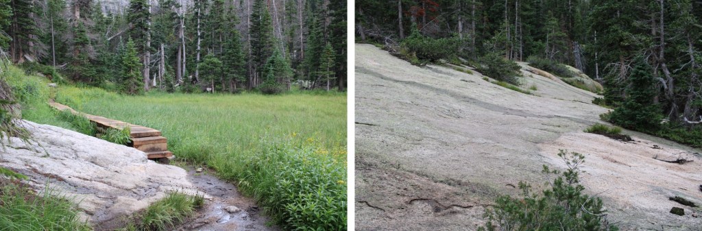

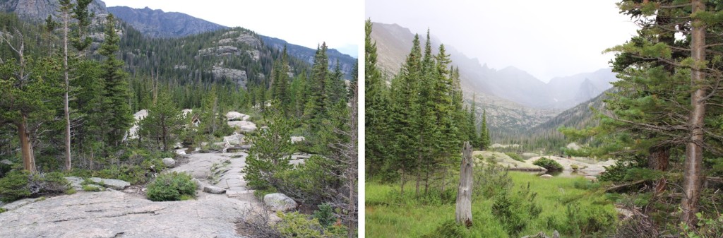
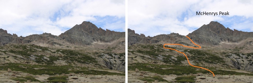
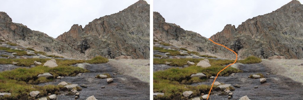
I made it to Black Lake, and continued on the class 1 trail, up a waterfall, and across more rock slabs.
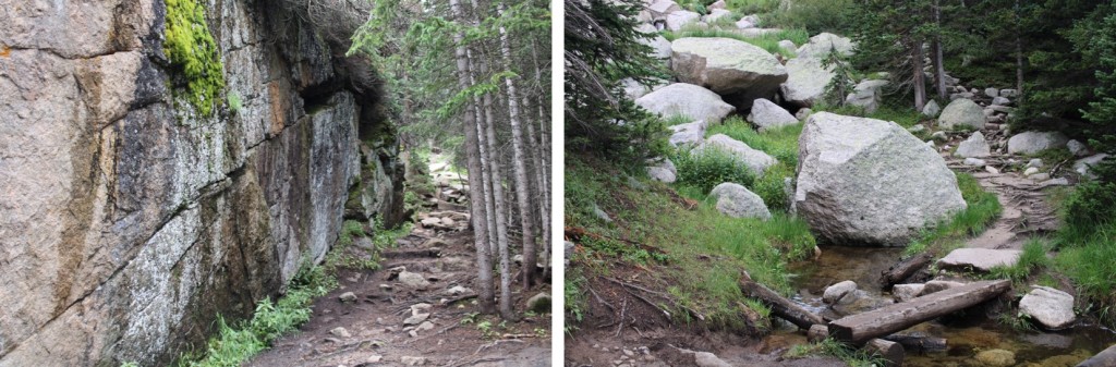
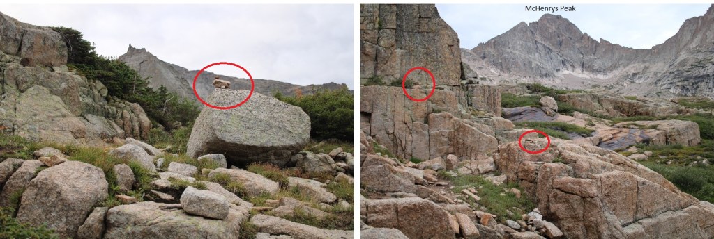
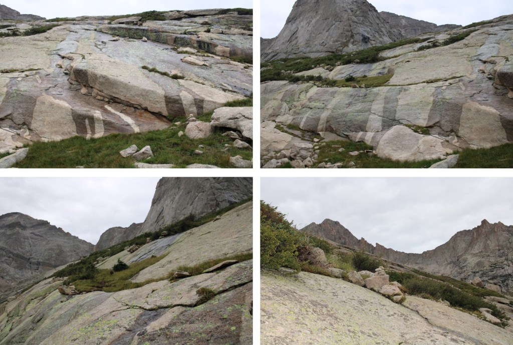
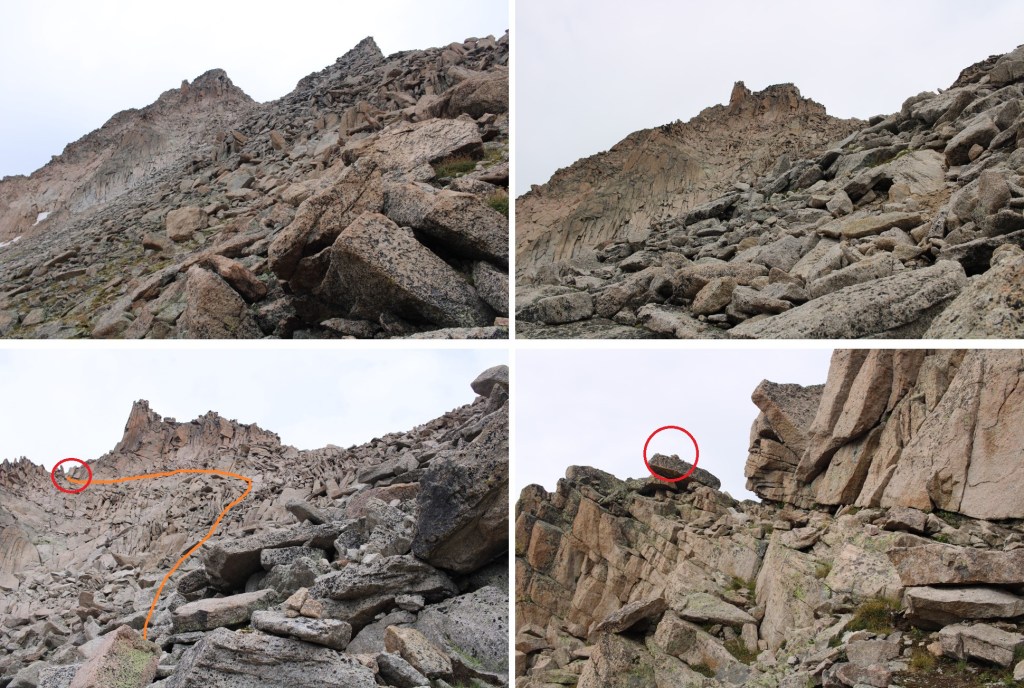
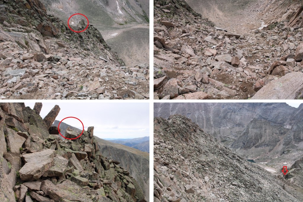
Here the trail kind of fizzled out, but I continued following cairns as I crossed a small creek, and headed southwest towards McHenrys Peak. There are a ton of cairns in this area (circled in red).
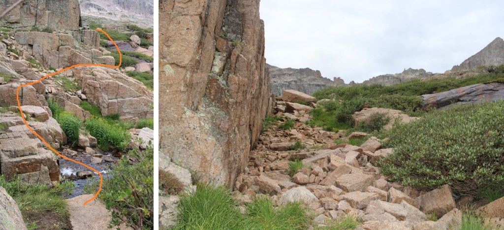
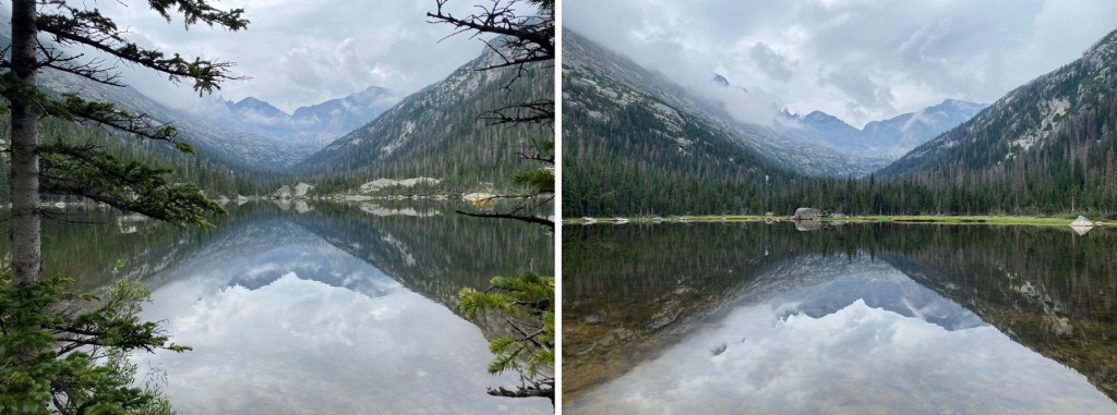
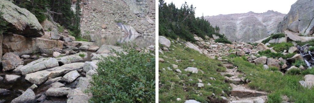
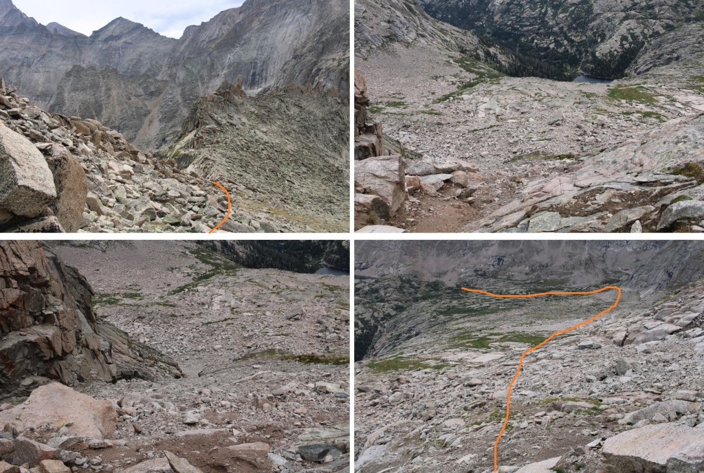
Here’s the overall route to Frozen Lake (not pictured) and up Stone Man Pass. There are plenty of cairns to guide you, but for the rest of the hike be careful: there are a lot of granite slabs that are quite steep to navigate (all class 2), and slippery where wet.
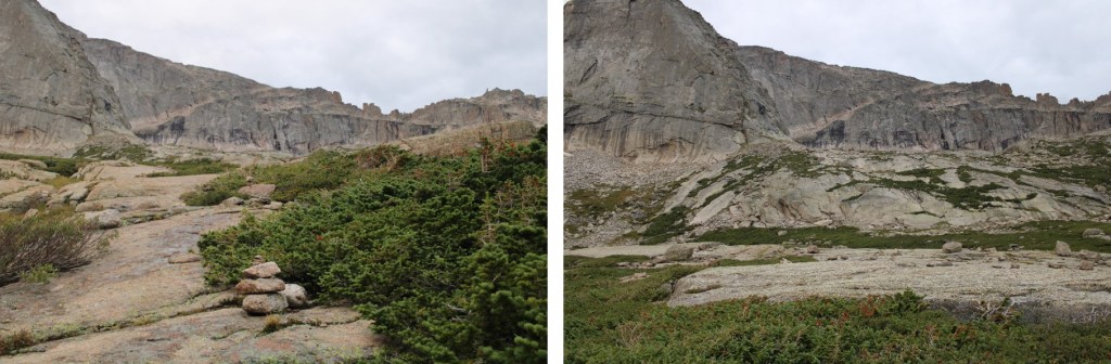
Here are some close up pictures to Frozen Lake

I easily rock hopped and crossed the lake on its north side, and continued heading west towards Stone Man Pass

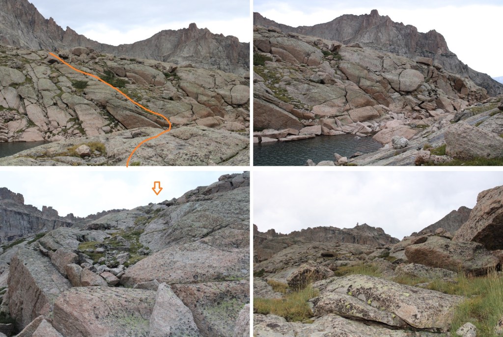
There are still tons of cairns in this area, but choose your route based on the best conditions. The rocks are very slippery where they are wet. I was aiming for the gully below Stone Man Pass.

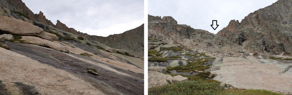
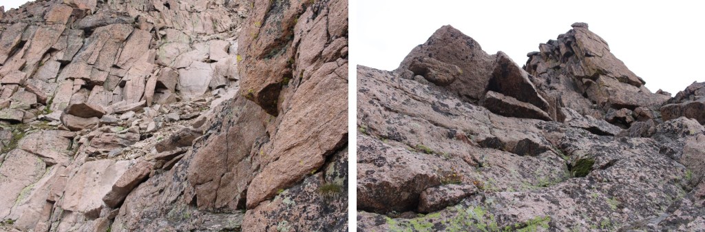
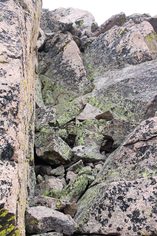
I didn’t think the gully was that bad. I stayed right on my way up, but took the other side down. I’d recommend climbing up the left side of the gully, as it was more stable, but both were fine. Here are some pictures of the gully

Once at the top of the gully, I turned right and headed northwest towards McHenrys Peak. Everything you can see here is class 2, and there are cairns to guide your way.
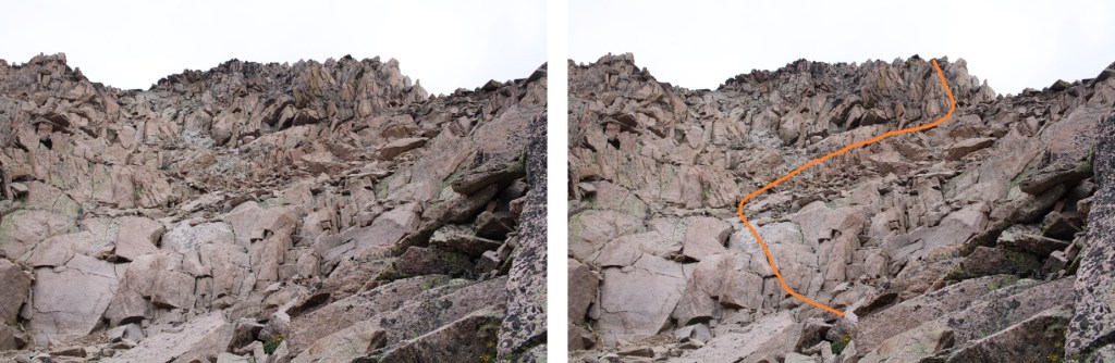
I rounded the mountain, and was now on the west side of the peak. Here is got a bit trickier. There were still cairns to follow. I headed up a rock slab, and rock filled gully. This was easy class 3
Here’s the overall route of the rest of the climb. I felt this was difficult class 3, with some exposure.
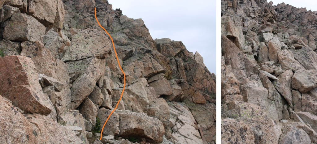
There was a chimney to head up, and then a short but intense scramble to the summit
I summited McHenrys Peak at 9:50am
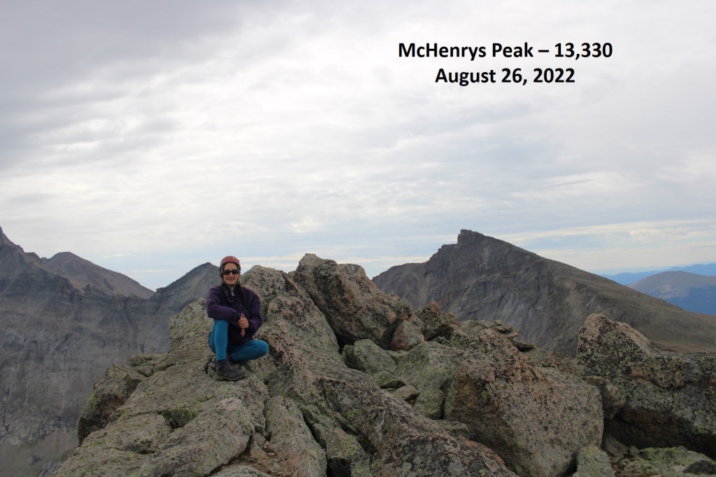
McHenrys Peak:
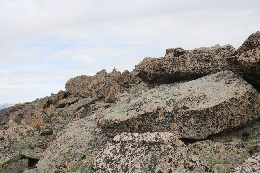
The summit looked like it could have several actual summits, so despite the large cairn and summit register, I made sure to walk all around the summit to make sure I’d actually summited.

Now to head back down. The trickiest part was descending the initial section, and finding my way back around the side of the mountain. Once I was there, it was easy to find my way to Stone Man Pass, and then back down to Frozen Lake.

And then I followed the cairns northeast, back towards the trail that would lead me to Black Lake


Then followed the trail all the way back to the trailhead.
I made it back to my truck at 2:30pm, making this a 17.46 mile hike with 4442’ of elevation gain, as per CalTopo. Strava told me it was a 15.02 mile hike with 6573’ of elevation gain. I tend to go with CalTopo when I write, for consistency purposes, especially since Strava tends to grossly exaggerate elevation gain.
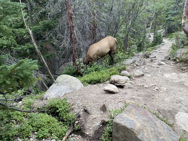
Also, there were a few elk along the trail who didn’t seem bothered by my presence… they wouldn’t even look up from whatever they were eating to acknowledge me.
On to the next trailhead!
