RT Length: 5 miles
Elevation Gain: 2436’
Miraculously as we were coming down from Helen Hunt Falls we pulled up just as someone was pulling out and got the last spot at the Mt Muscoco trailhead. Woot!

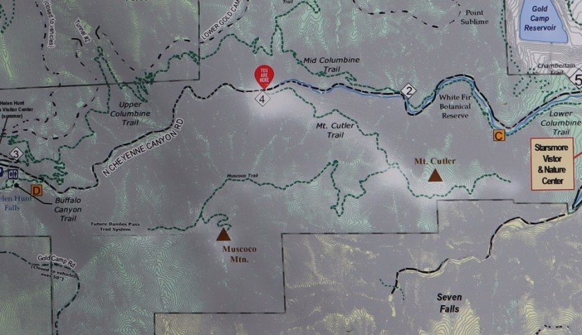
We didn’t have a map, but there was one provided, so I took a picture and we were on our way
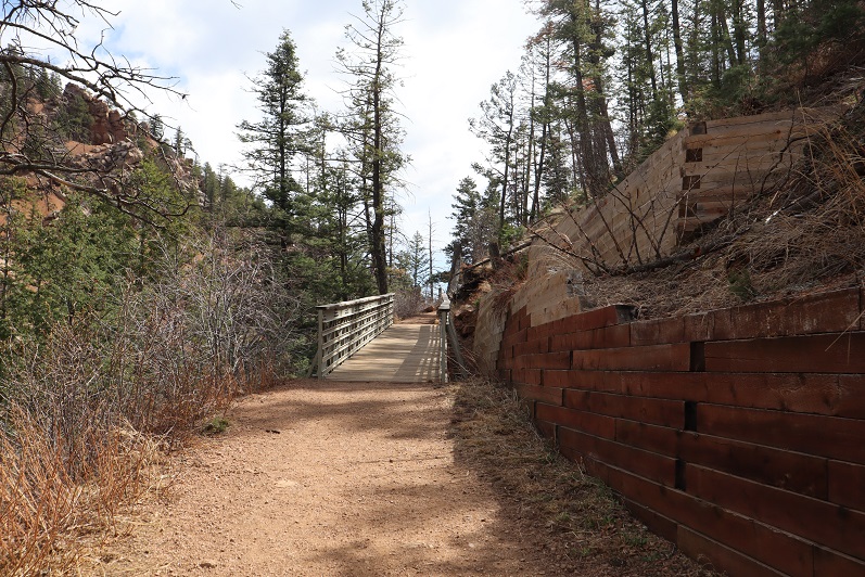
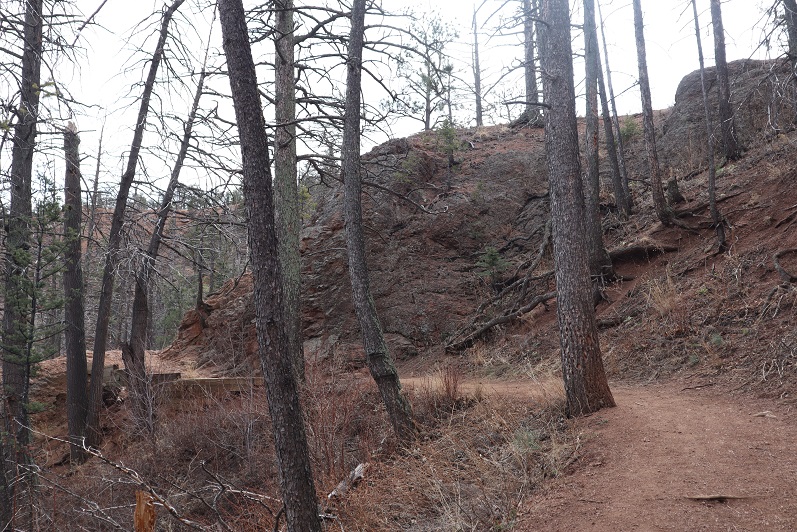
This is another class 1 route that’s easy to follow, so I won’t provide a lot of details, but just some pictures from along the way. You start by crossing a bridge
And continuing up the well defined trail. Steffen found a hole he wanted to check out….

Nothing was in it, so we continued on.
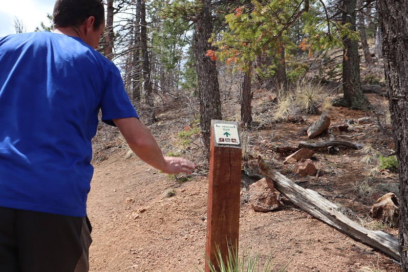
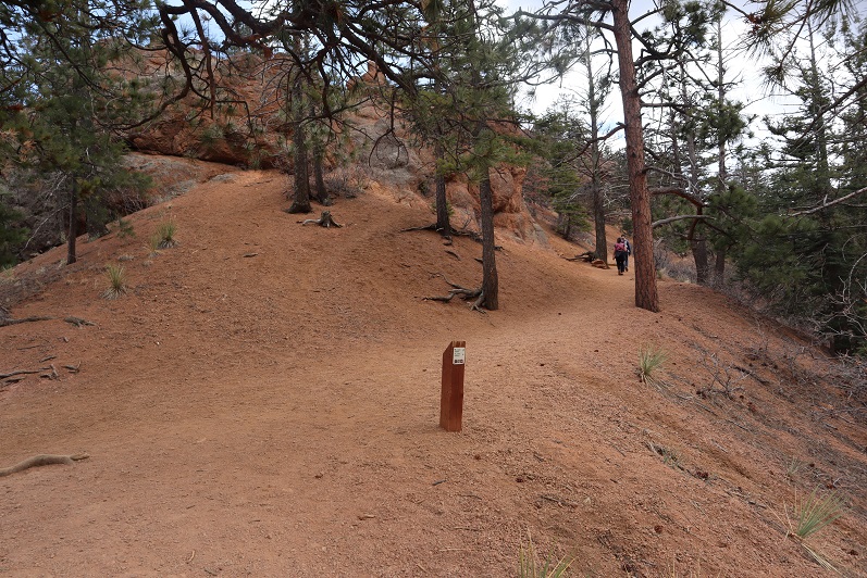
The trail has great signs

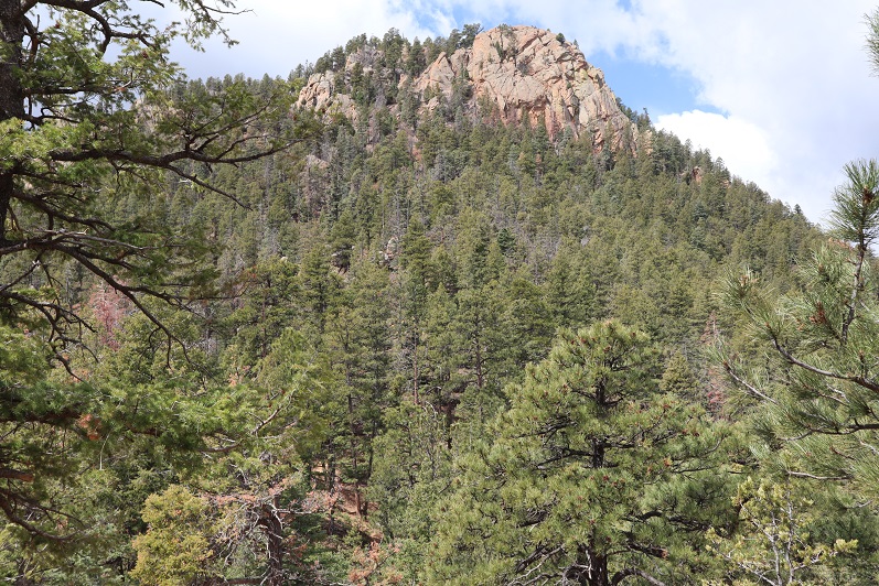
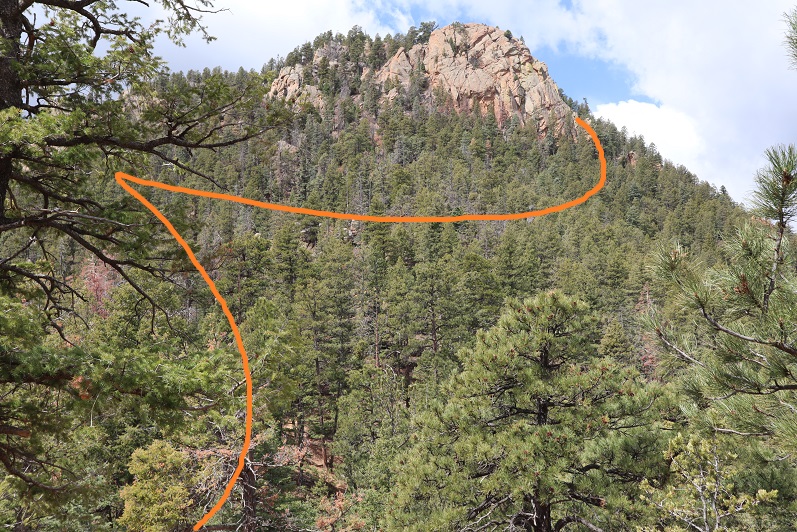
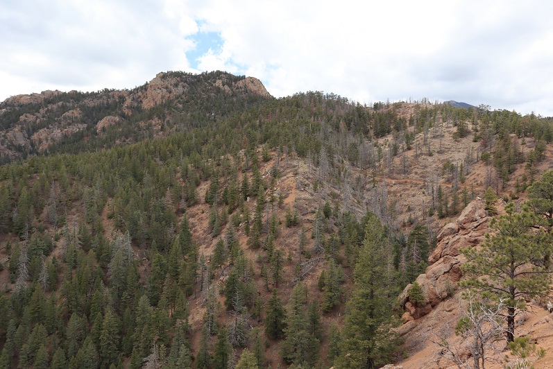
You actually work your way around the mountain to summit
Here’s the summit
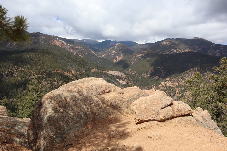
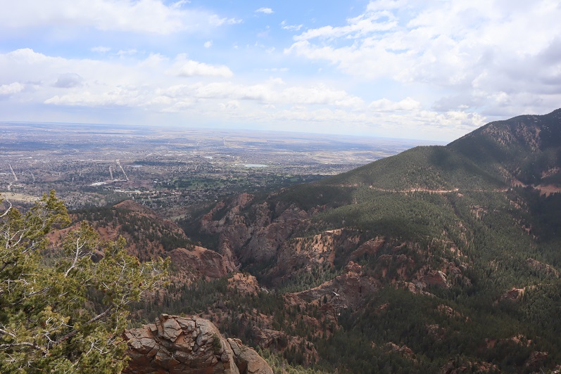
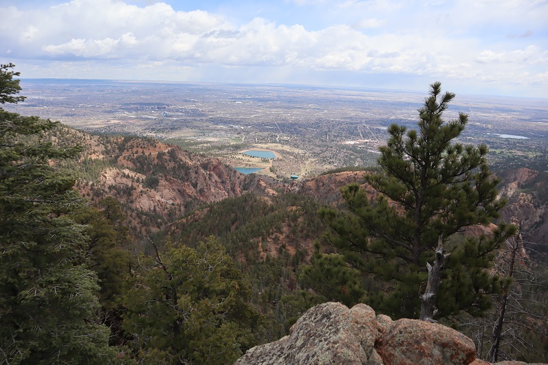
And summit views
We headed back to the saddle, and decided to hike Mt Cutler too. The trail is once again easy to follow, class 1
And provided some great views of Mt Muscoco
We were surprised with how many people we were seeing along the trail, since there were only 15 parking spots. We must have passed 100 people. When we made it back to the trailhead we discovered why: people were parked illegally for miles along the side of the road, making it difficult to back out of your parking space (I was so glad I’d backed in) and making the road a one way road. People were playing chicken the entire way down. We need to open up our state or people are going to go nuts! Also, at this point I’m done staying close to home, I think I’m safer, and everyone else is safer Coronavirus wise if I head to trailheads and summits that are remote and NOT close to home.
Here’s my topo of the route

