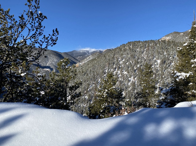
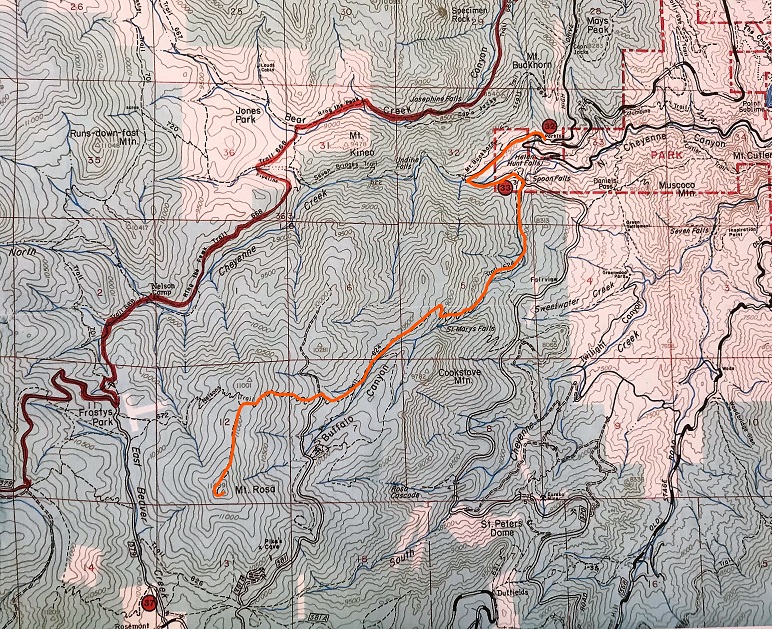
I’ve hiked Mays Peak and Kineo Mountain several times, but always through North Cheyenne Canyon. They’re currently working on the road to North Cheyenne Canyon, so I decided to hike these peaks via Bear Creek. I’ve ever been to Bear Creek before, so I thought this would be fun.
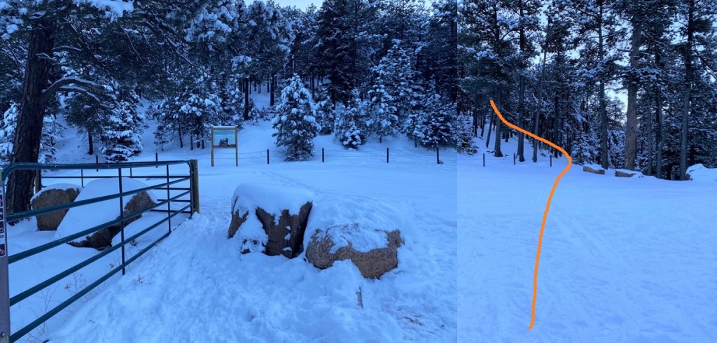
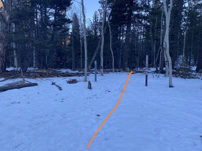
I parked at pull off 3 and was on the trail at 6:15am.
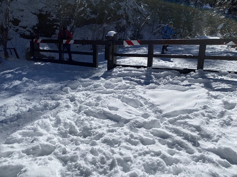
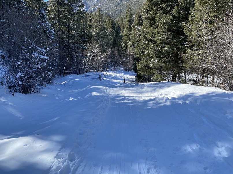
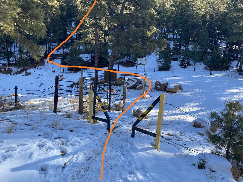
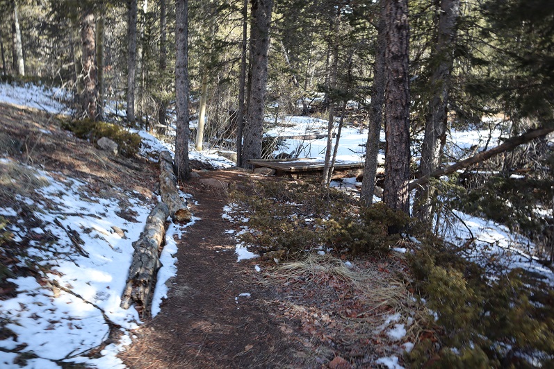
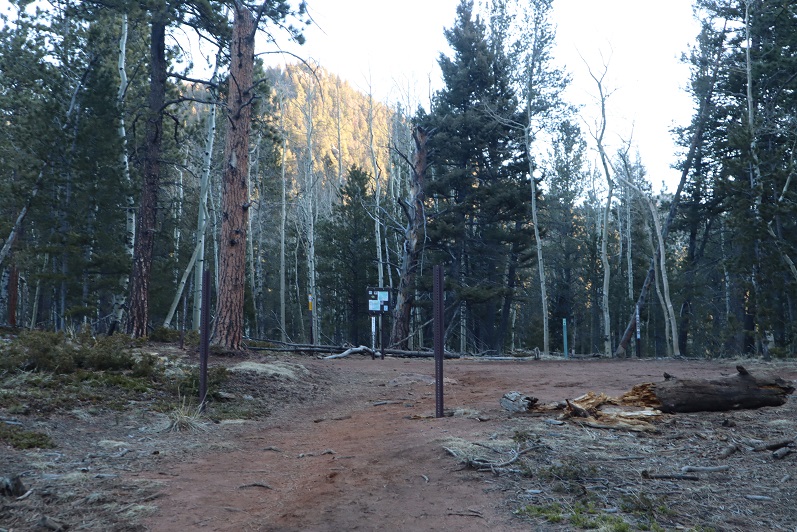
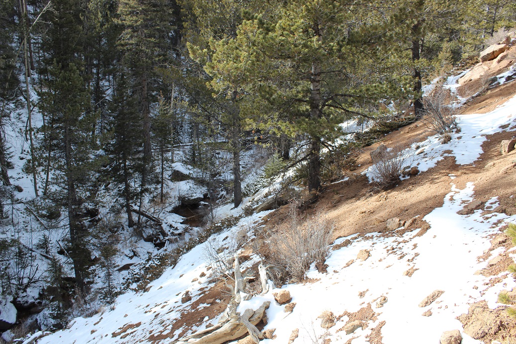
I passed through a gate and followed the road
I came to a second gate, and continued on the road
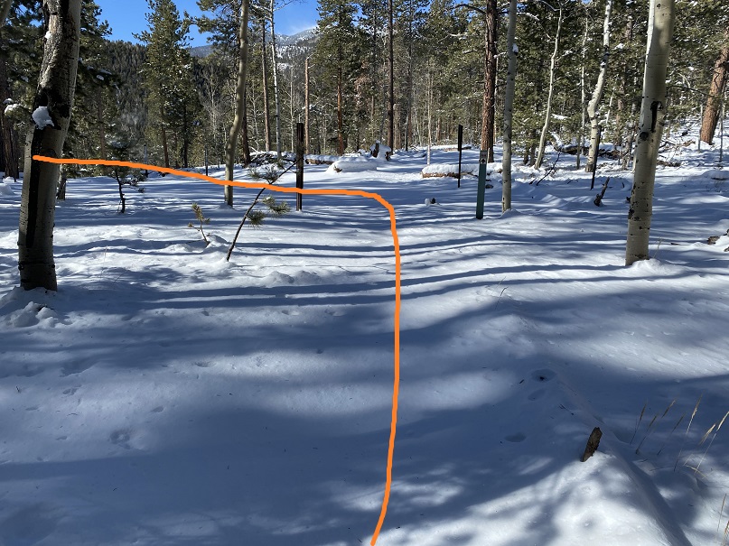
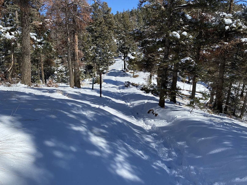
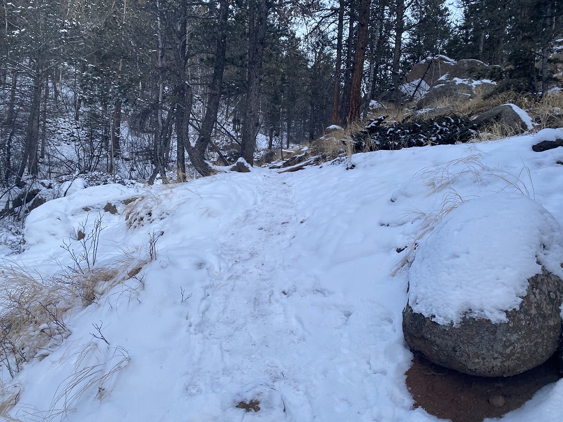
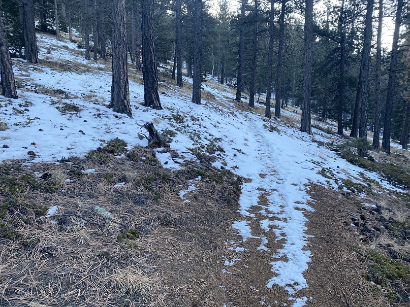
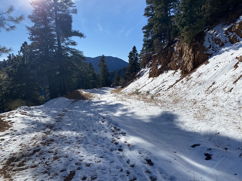
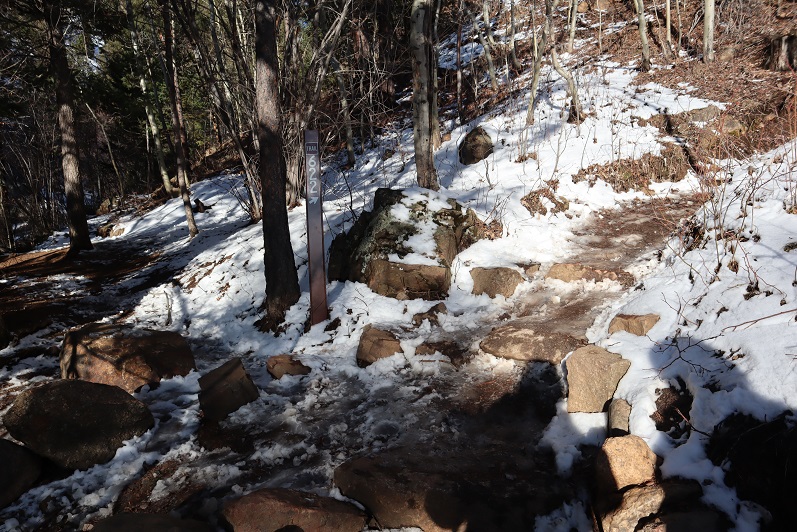
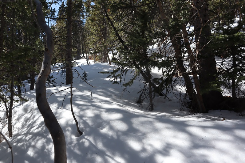
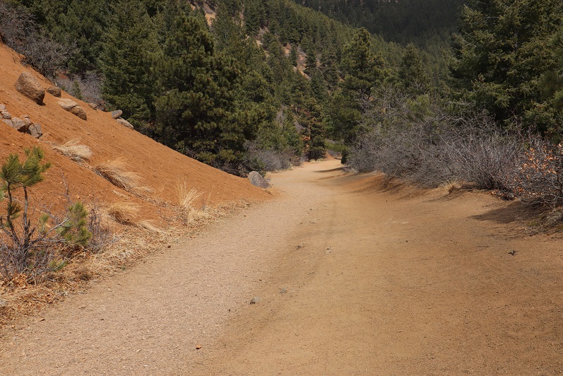
The trail follows High Drive, a dirt road, for 2.6 miles. It had recently snowed, but it seemed yesterday several skiers packed it down after the snow had subsided.
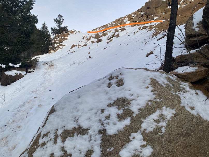
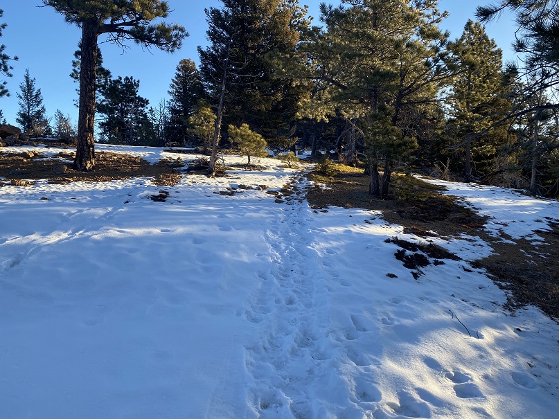
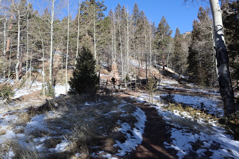
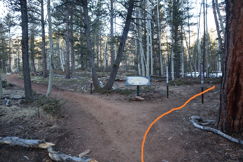
After hiking 2.6 miles I came to the saddle of Mays Peak and Mt Buckhorn (unranked). Here I turned left and was pleasantly surprised to find a boot pack on the trail to Mays Peak
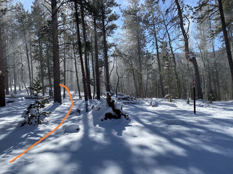
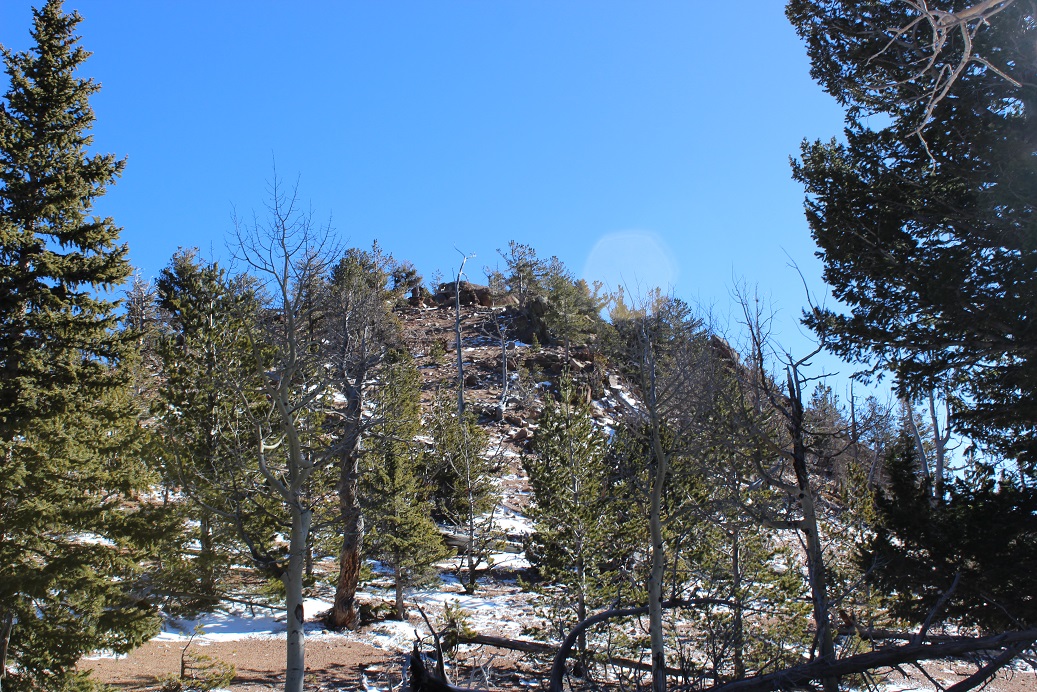
This trail didn’t go all the way to the summit, but instead wound around the mountain. At the southernmost point I left the trail and made my own trail to the summit, heading north up the hillside.
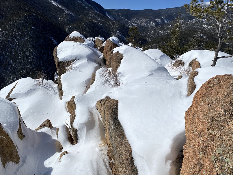
This is an easy summit, especially if you’ve summited before. No one had been here since the recent snow, so there were no tracks on the summit.
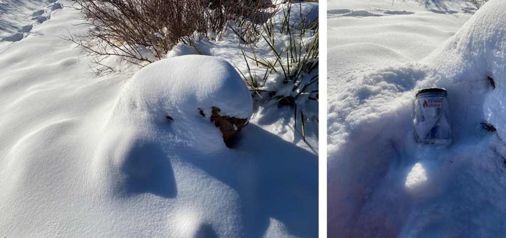
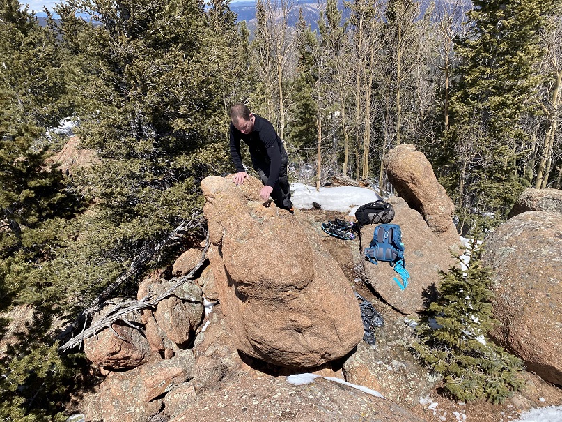
A few weeks ago I dropped a summit register off, so I went to go check on it. It was buried under some snow; I took it out and placed it on a rock. Still looking good!
The tree is still decorated for Christmas. I wonder if it’ll be decorated all year long?
I followed my tracks back down to the trail, and to the Buckskin/Mays Saddle
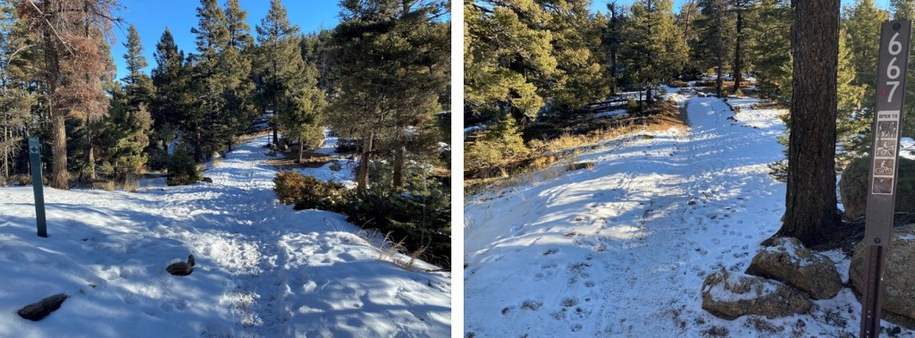
From the saddle I took Trail 667 southwest
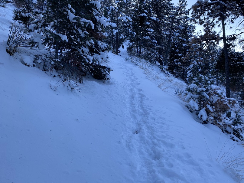
I was delighted to find this trail also had a boot pack
Well, at least it had tracks for a little while. It seems the hiker ahead of me at some point got tired of trenching and turned around. So I started trenching.
I followed/trenched Trail 667 for 3 miles, until I made it to the 668/622/667 Junction. Here I turned left and headed east towards the summit of Kineo Mountain.
Did I mention the wind? It was very windy all day, even though I was below treeline. Since it had snowed recently, the wind blew all the snow off the trees. This snow kept hitting me in the face.
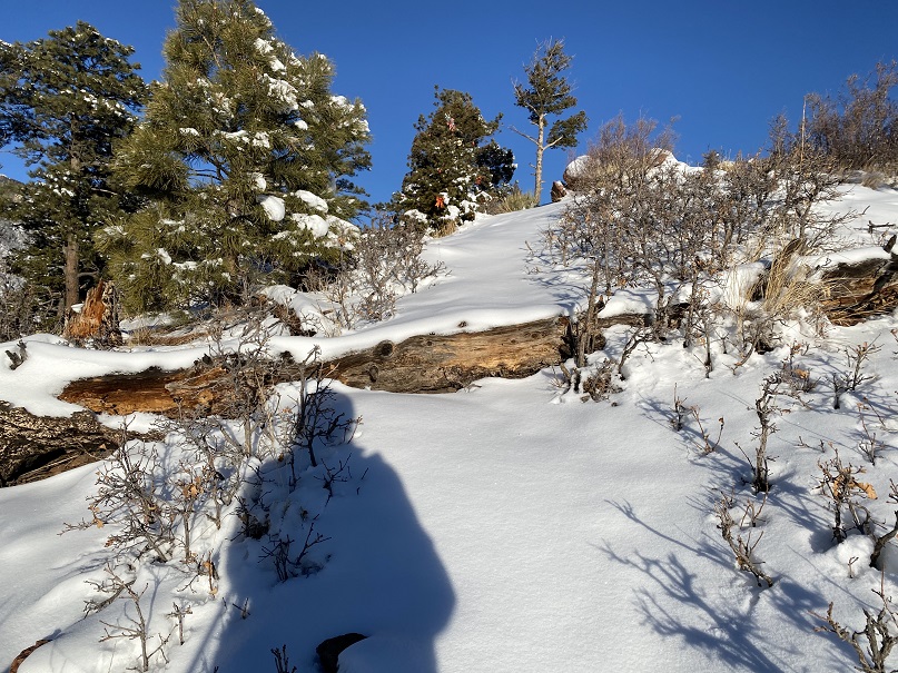
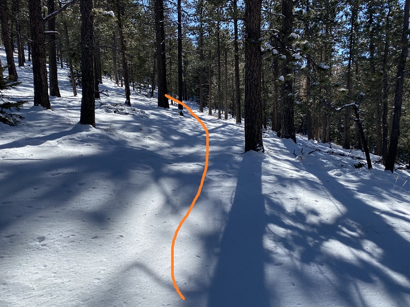
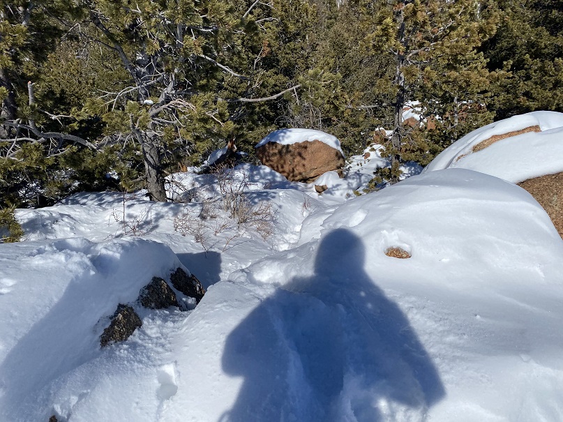
Here are some pictures of the way to the summit. I just kept trekking east
I made it to the summit and looked for the summit register, but it was buried somewhere under all that snow and I was unable to locate it.
The trek back was much easier than the trek in, as I just followed my footprints back to the Mays/Buckskin saddle
It was still windy
And it was warming up, so ice was getting stuck in my microspikes
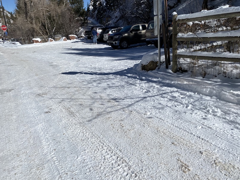
I made it back to the saddle and took the road back to the trailhead. Here I saw more skiers hiking up the trail, a few dogs, and a man pulling a sled with a bunch of rocks in it so it would carry him down the mountain faster in his sled. I pointed out to him there were probably rocks at the top.
I made it back to the trailhead at 12:30pm, making this a 14.36 mile hike with 3659’ of elevation gain in 5 hours, 45 minutes.
Initially, I’d planned on hiking Mt Massive this morning, but after seeing the predicted wind speeds I turned around and slept another 3 hours before heading out to North Cheyenne Canyon. I was the only one in the parking lot when I arrived, so I got to choose my space. I parked right in the middle, since I’d be making this hike a loop.
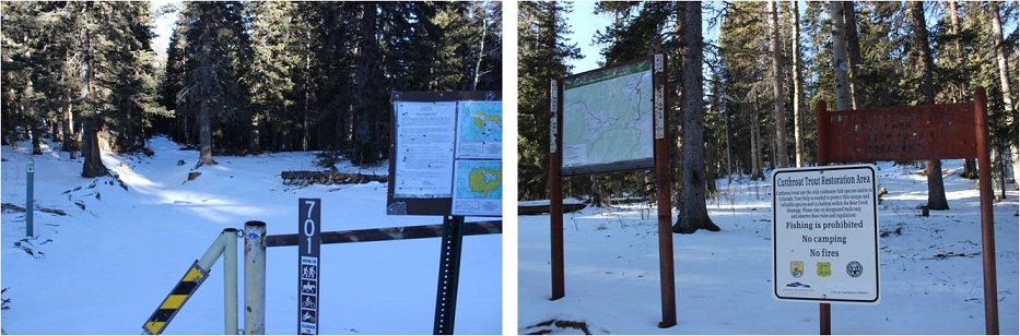
I put on my microspikes and wore them the entire way. I was on the trail at 6am, happy not to be lugging along my snowshoes for the first time this winter. The trail starts at the west end of the parking area.
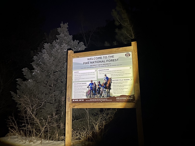
I passed through the locked gate and noticed a sign that wasn’t here the last time I hiked here. I was surprised the area was open to horses: I’ve hiked here dozens of times and never encountered a horse.
I continued hiking along this road (370) for .8 miles, until I came to a bend in the road. From here I took trail 622 west.
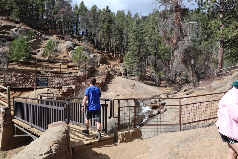
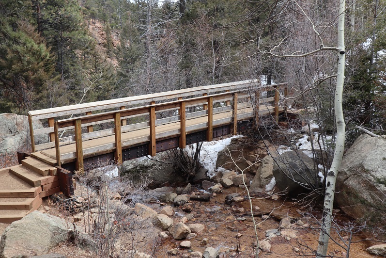
This is Seven Bridges Trail, and, you guessed it, it crosses 7 bridges. The sun started to rise as I hiked, easily crossing each bridge. The bridges are numbered.
After crossing the 7th bridge, I continued following 622
The trail follows the canyon west
When you come to the option of sticking high or low, stay high, even if footprints tell you otherwise.
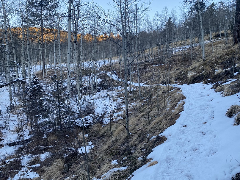
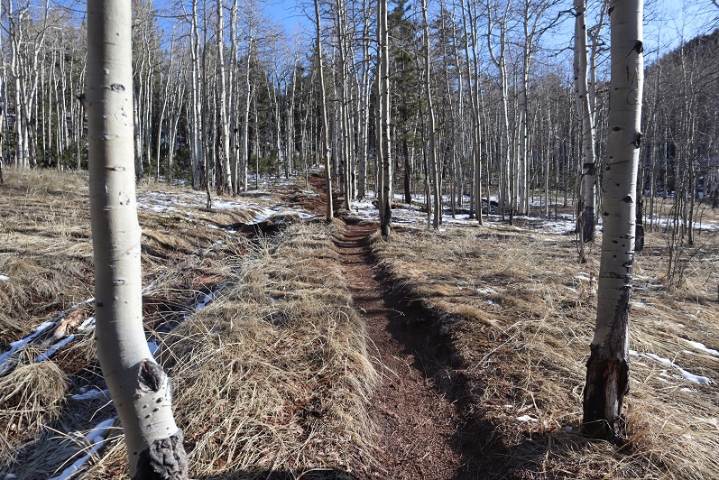
After hiking for 2.5 miles the trail starts to head north. This is one of my favorite parts of the hike, as it goes through an aspen grove
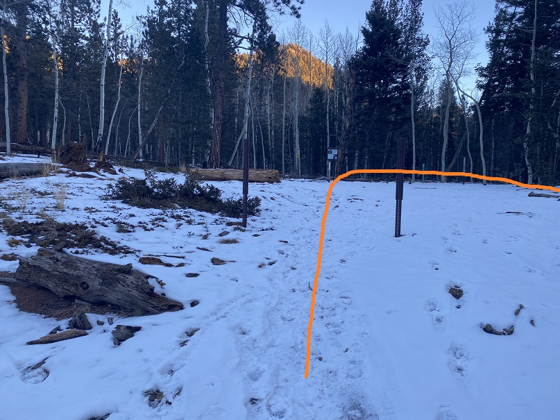
At the top of the aspen grove there’s a junction. Here I left the trail and headed east to the summit of Kineo Mountain.
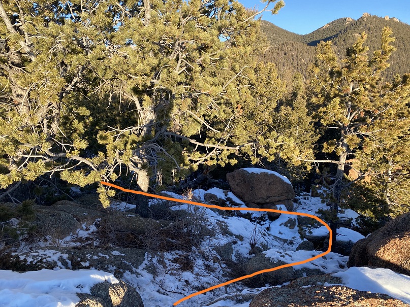
The first time I did this hike there was no trail, but as the years have gone on it seems others have discovered this hidden gem and created a trail of sorts, so it’s easy to follow. Here are some photos. Just follow the ridge and keep heading east
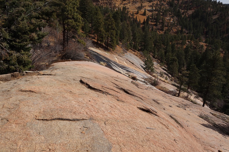
The summit is at the top of an obvious, rocky area. This is an easy scramble to the top
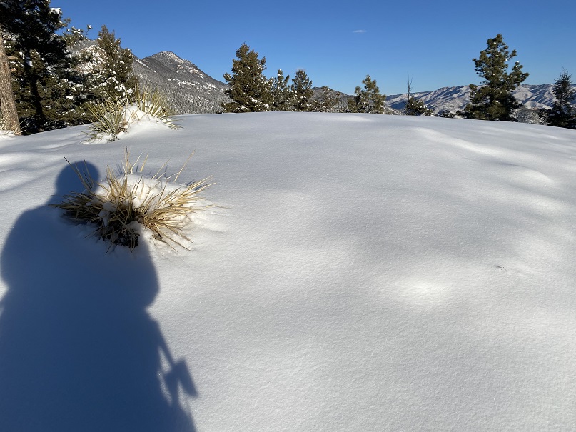
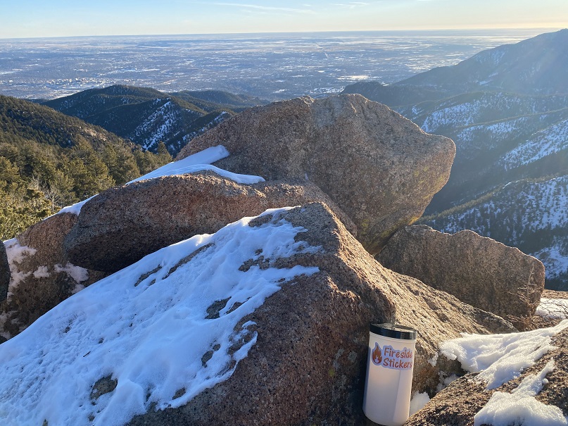
Here are some summit views
There wasn’t a summit register, so I left one and headed back the way I came, towards the junction
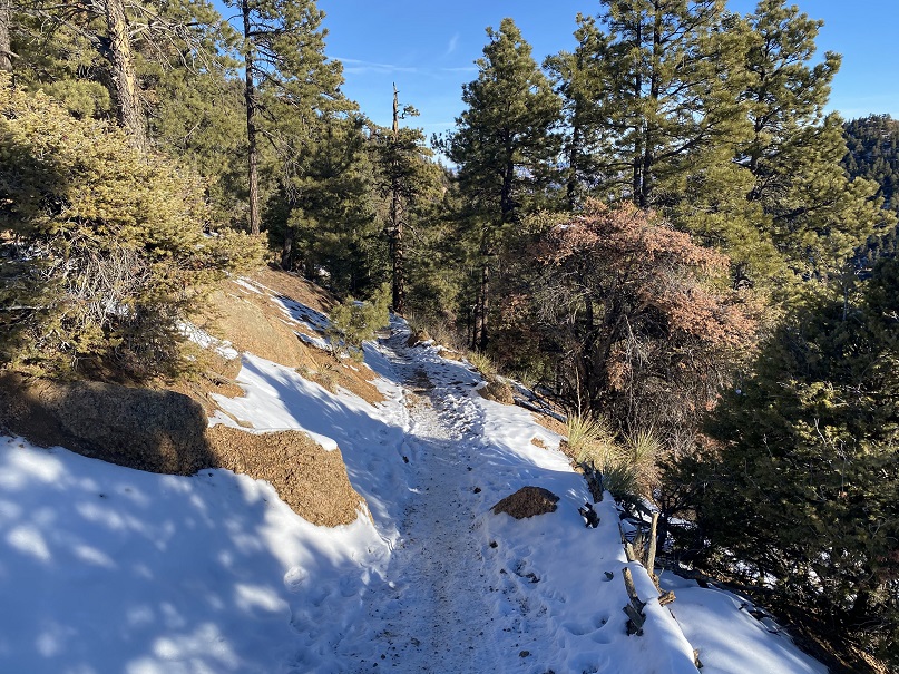
At the junction I turned right and followed Trail 667 east as it skirted the north side of Kineo Mountain
I followed 667 for 3.3 miles past the junction, staying on 667
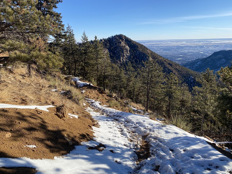
Here I came to another junction with High Drive. I crossed high drive and headed east up the west side of Mays Peak
There were a few game trails in the area, but by just heading east I was able to make the summit. From the junction with High Drive it was bushwhacking of less than half a mile and 400’ of elevation gain.
Interestingly enough, I found a summit register under a tree, well before the summit. I’m sure this register is missed by most people.
Here’s the final bit to the summit
I placed a new, more obvious summit register before leaving the summit and heading back to High Drive.
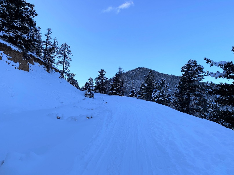
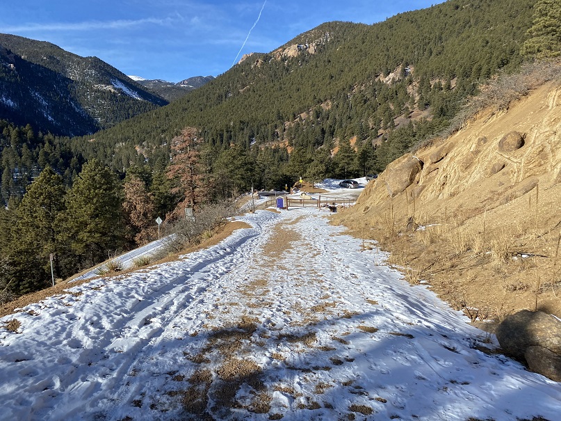
Back on High Drive, I followed it south for about a mile back to the trailhead, making this a neat loop.
I made it back to the trailhead at 10am, making this a 9.15 mile hike with 2838’ elevation gain in 4 hours
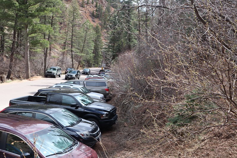
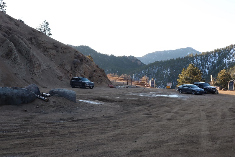
Miraculously as we were coming down from Helen Hunt Falls we pulled up just as someone was pulling out and got the last spot at the Mt Muscoco trailhead. Woot!
We didn’t have a map, but there was one provided, so I took a picture and we were on our way
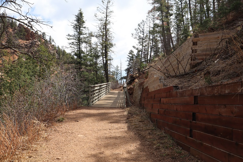
This is another class 1 route that’s easy to follow, so I won’t provide a lot of details, but just some pictures from along the way. You start by crossing a bridge
And continuing up the well defined trail. Steffen found a hole he wanted to check out….
Nothing was in it, so we continued on.
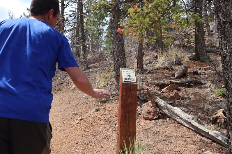
The trail has great signs
You actually work your way around the mountain to summit
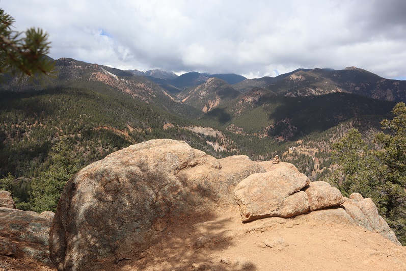
Here’s the summit
And summit views
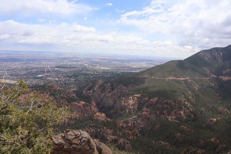
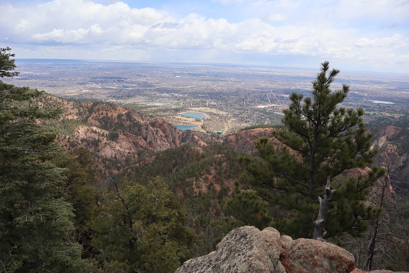
We headed back to the saddle, and decided to hike Mt Cutler too. The trail is once again easy to follow, class 1
And provided some great views of Mt Muscoco
We were surprised with how many people we were seeing along the trail, since there were only 15 parking spots. We must have passed 100 people. When we made it back to the trailhead we discovered why: people were parked illegally for miles along the side of the road, making it difficult to back out of your parking space (I was so glad I’d backed in) and making the road a one way road. People were playing chicken the entire way down. We need to open up our state or people are going to go nuts! Also, at this point I’m done staying close to home, I think I’m safer, and everyone else is safer Coronavirus wise if I head to trailheads and summits that are remote and NOT close to home.
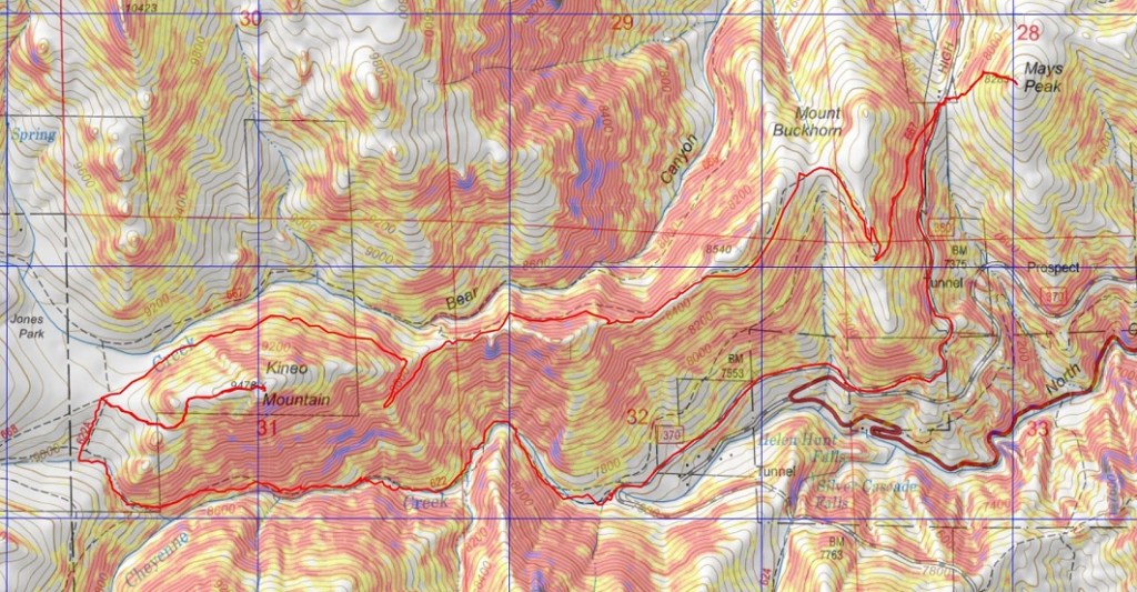
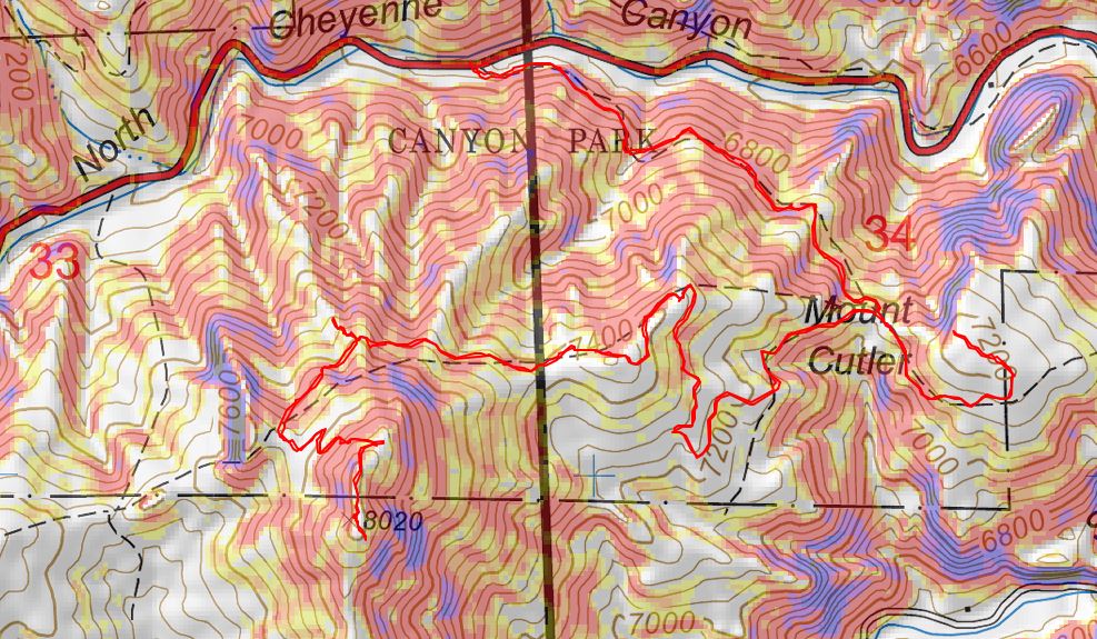
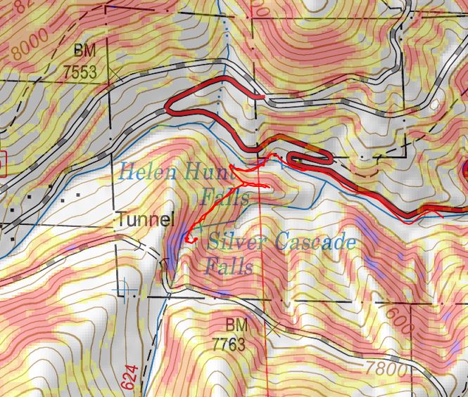
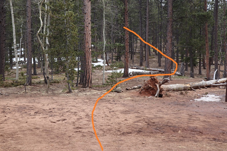
Here’s my topo of the route
We’d intended on hiking Mays Peak after hiking 8130 but the parking lot was full at 9am. We circled the lot 4 times before heading down the hill and getting the last spot at the Helen Hunt Falls Trailhead. I backed in, and used my driver side mirror to park, not realizing there was a several foot difference between the drivers side and passenger side before a large drop off. Let’s just say I caught it just in time and floored it before falling over the side…
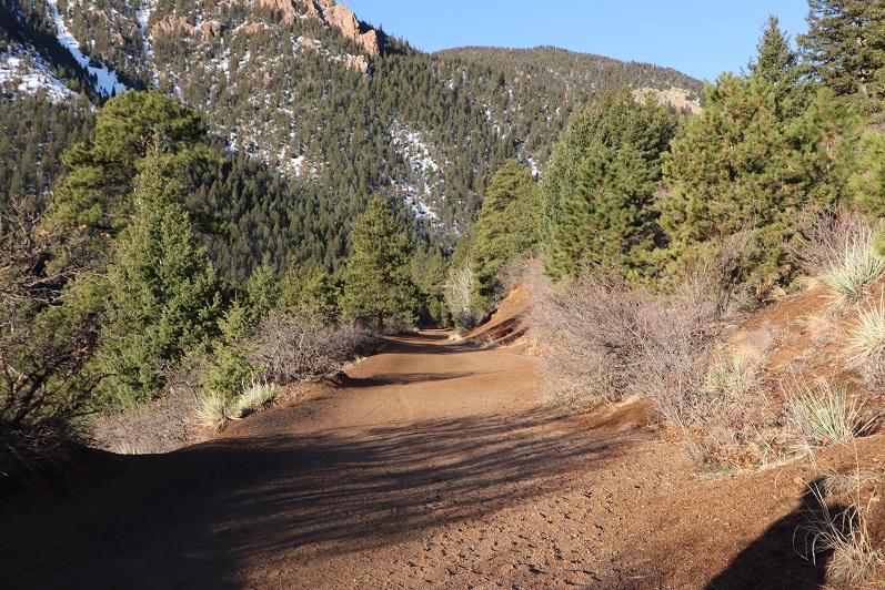
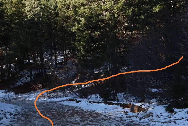
Helen Hunt Falls is a really easy hike off North Cheyenne Canyon and I’ve done this hike several times. No route description is necessary, as the trail is class 1 and easy to follow. Because of that, I’m just going to post some pictures from along the trail…
And my topo
Now, on to the next trailhead (I hope we get a spot… this Coronavirus thing is causing North Cheyenne Canyon to be full of vehicles before 9am every morning, and it’s a Saturday…). Everyone’s been great at social distancing, but it’s more crowded than I’ve ever seen it, even on a weekend in the summer.
RT Length: 12.5 miles
Elevation Gain: 4220’
Partner: Steffen
Third time’s a charm! For so many reasons…
I’ve attempted this peak on 2 other occasions. One time a few years ago I thought I’d summited (more on that later) and last week I turned around due to deteriorating snow conditions. Today I’m glad to say I had a successful summit!
I drove to Steffen’s house at 4:30am and we made it to the North Cheyenne Mountain gate by 5am, but unfortunately, the gate was locked. I guess it didn’t open until 6am? Oh well, we had a plan B, so we drive down Old Stage road for about 45 minutes, intent on Frosty’s Park and hiking Mt Rosa or Almaghre (or both). About 5 minutes from making it to the trailhead Steffen realized he’d forgotten his hiking boots. Drat! We would have to drive back and get them. As I said, third times a charm, and we arrived at the (now open) North Cheyenne Canyon Trailhead at 7am and were on the trail by 7:20am. It was already light out and I had serious doubts we’d summit today due to warm snow, but at least we’d get in a good hike.
We wore our microspikes the entire way, even though they weren’t always needed. I’ve done this hike several times, so I won’t go into a detailed description of the route to Loud’s Cabin, but you can find it here
I basically took the 7 Bridges Trail (622) to 677 to 622A to Loud’s Cabin. Here are the pictures:
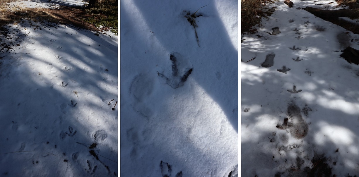
Along the way we saw some curious tracks in the snow. They were about 5-6 inches long and distanced about a foot to a foot and a half apart. It took us a while to figure out they were turkey tracks. It would have been much cooler had they been emu or velociraptor tracks or something, as they seemed too big to be turkey tracks…
Once at Loud’s Cabin things once again got tricky. I’d made a GPX file from CalTopo with the way we were supposed to go, but the trails were no longer there. We decided to ascend the hill above the cabin and head west. It became apparent almost immediately we were on the wrong ‘trail’ but we were on a trail and headed in the right direction and felt committed… until it ended.
I noticed a few cairns so we followed them for a bit until they ended as well. I’m guessing the cairns were indicating an alternate route up Mt Garfield.
We weren’t interested in hiking Mt Garfield today, so we left the cairns and aimed northwest along the side of the mountain, making our own trail as we went. This included some fun scrambling over rocks and fallen logs. Be careful: those rocks and logs move!
Also, here we saw the first near tracks of the season! I’m thinking mama and cub
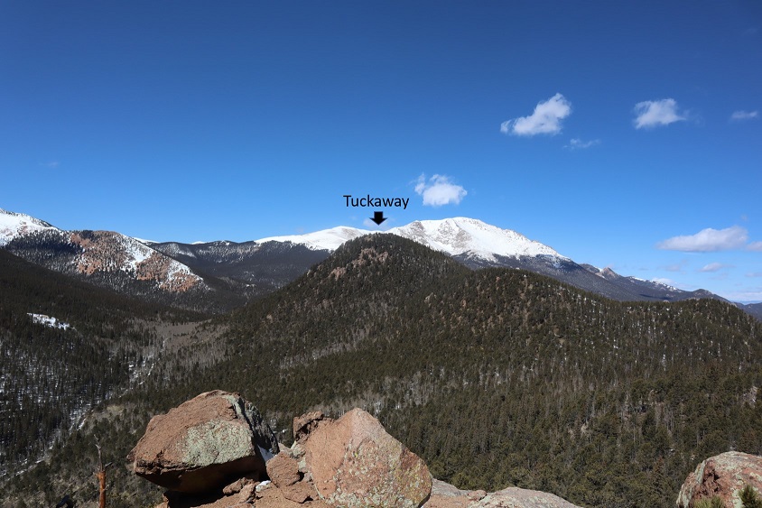
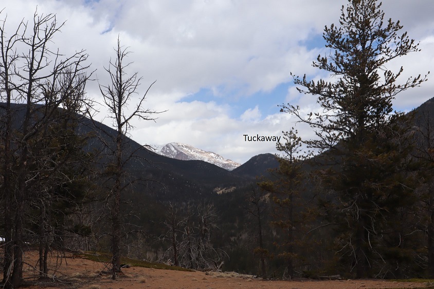
We had great views of Tuckaway when the trees cleared (which wasn’t that often). The frustrating part? We didn’t seem to be getting any closer. In fact, it felt like the mountain was always in the same place (well, it was, but we weren’t making much progress).
This was our view of Tuckaway most of the time
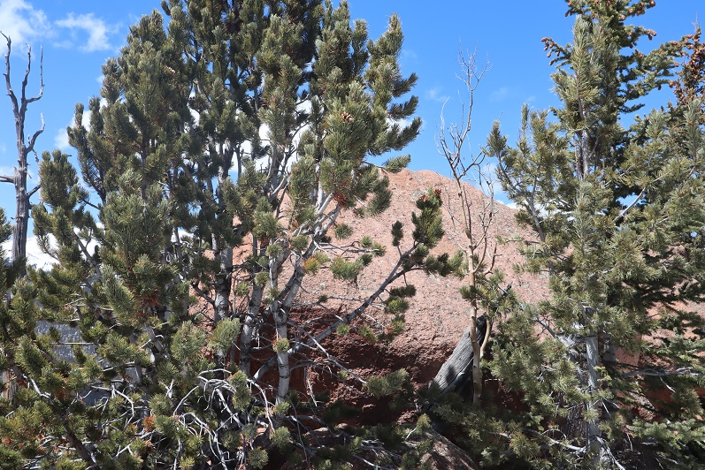
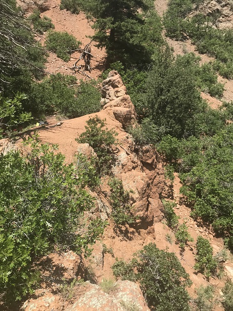
Finally we made it to the top of a rock formation at about 10,400’
Here’s the view looking back at the way we’d circled Mt Garfield
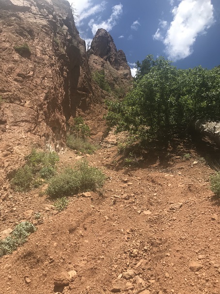
And a look at the route before us towards Tuckaway
There were tons of ways we could have traversed over to Tuckaway, and we actually went back and forth while we were hiking as to the best way: there’s snow you cannot see in a lot of areas that would make certain routes lousy. We’d initially wanted to just hike across the ridge, but instead this is the path we took:
I got a picture because the view was great
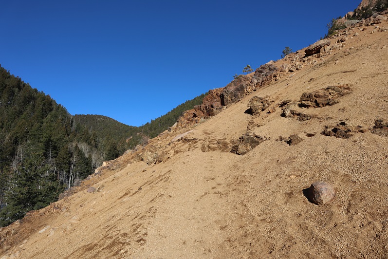
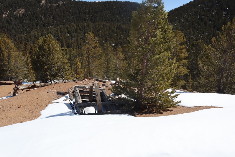
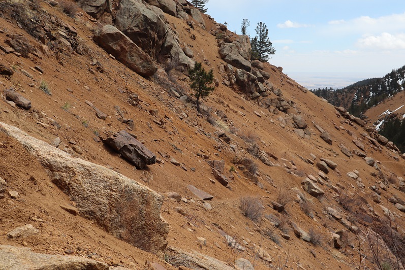
And we were off, deciding to initially descend this spot to the north (where we came across a mine not listed on the map), and then head west down some snow covered boulders. The scree here was really soft and felt a bit like quicksand.
There are no great pictures here, as we were just in the trees headed towards the saddle just before Tuckaway. When we reached the saddle it was time to don our snowshoes. We trenched a trail from the saddle to the west and came across my tracks from last week.
My tracks eventually ended and we had a time sinking up to our waist in the soft snow, but we were stubborn and took turns trenching: we could see the blue skies above indicating a ridge and were determined to summit today
We made it to the ridge and to our immediate left was a cairn. This is where I’d stopped a few years ago, thinking this must be the summit (cairns like this usually indicate a summit).
It certainly looked/felt like the summit, and indeed, from here you cannot see a higher spot. However, I’d had someone (not so nicely) comment on my blog that I hadn’t reached the true summit; that it was in fact further to the west. So today I was here (again) to see if he was right. We decided to follow the ridge west, through several feet of snow (I love snowshoes!!!) gaining and losing elevation as we went.
After about 2/10ths of a mile we came to a point I wasn’t convinced was higher than where we’d been before but was definitely the spot I’d seen in other one person’s picture as the summit. There was no summit register here either and no cairn indicating a summit.
We decided to climb the rock, which took careful footing and a leap of faith. Here’s Steffen heading back
Here is my summit photo
And some of the amazing views from on top of the rock
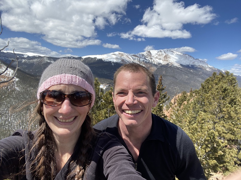
We took a summit selfie
And I got another shot of the way back down
Side note: As I said earlier, I wasn’t convinced this point was any higher than the point we were at before, so once I got home I put the route up on CalTopo. It showed the second point was indeed 3 feet higher than the first, but I hadn’t climbed to the top of the first rock like I had the second. In other words, I think both places are of similar height, and in fact, while the rock was difficult to climb I’d say the route I took the first time was more challenging than the one I took today. In any event, either way, we summited because we made it to both points. I think either point should count on its own.
We decided to descend the way I’d trekked last week, and followed our snow tracks to the saddle
And back down the gully to the trail I took last time.
What’s frustrating here is the trail that’s on ALL the maps, GPX files, etc. is a trail the forest service doesn’t want you to take. They’ve made it extremely difficult to follow because they don’t want people hiking there. They’ve essentially tried to close this trial.
I totally get this, but the problem is they haven’t established new trails/produced proper GPX files, etc. of new routes. This is the best they give, which is a poor excuse for a map and doesn’t include topographic features or mountain names. It’s like they want you to get lost
I’ve been in this area several times and their new trails are terrible and are meant for dirt bikes, not hikers. It’s really frustrating: I’d set out today to follow proper (new) trails and provide a GPX file for others interested but was unable to do so due to lack of information. In my topo picture at the end it shows I followed the trail on my return, but that’s the one they’ve blocked off, so it isn’t actually a trail. IT was however, my safest option.
We encountered a lot of snow on the trail on the way back, and instead of complaining about how we kept on postholing we decided to make it fun. Here’s Steffen trying to get across the snow without sinking by running fast (spoiler alert: that doesn’t work)
We made it back to just below Loud’s Cabin, linked back up with Trail 667, and followed it back to the parking lot
We were surprised to find when we made it back to the lot that it was overflowing with cars!
What was disturbing was about a third of these vehicles were from out of state. We’re supposed to be staying home and hiking only in our respective county, and I’m doing my best to abide by those rules (before they get worse). It was extremely frustrating to see so many out of state cars, and they just kept going and going and going: the lot was overflowing and cars were parked along the side of the road for miles as we exited. There were more cars here than I’ve ever seen in the summer. It must be Spring Break in other states and they’ve decided to still take their vacations.
We made it back to the truck at 3:30pm, making this a 12.5 mile hike with 4220’ of elevation gain in about 8 hours. It was a perfect day to go hiking!!! I’m so glad we got out and got some fresh air!
Note, my successful climb of Tuckaway can be found here.
This whole Coronavirus thing is crazy, and it’s driving me crazy. Half the states are closed to outdoor recreation, with the other half open. Our county is open for hikers (with restrictions to social distance), others in the state are closed (and there seems to be no consistency) so I chose to social distance close to home today, getting in 14 miles and 4300’ of elevation gain on a trail that hasn’t been used much, if at all this winter. I didn’t pass a single person all day.
My intent was to hike Tuckaway Mountain. It’s located off North Cheyenne Canyon well off the beaten path but at a popular trailhead. I arrived at the trailhead at 6am, the first vehicle in the lot. Right behind me was a car full of runners: they parked and immediately started running down the trail. I envied them their lack of gear.
I’ve explained this hike several times so I’ll just paraphrase: I took the Seven Falls Trail (622) to the junction with 677 and then 622A to Loud’s Cabin. This part of the trail was snow free but I wore microspikes because there was ice in areas.
Once at Loud’s Cabin the trail ended, but it wasn’t supposed to. I ended up backtracking a bit and finally finding a trail! The only problem? They obviously didn’t want anyone using this trail.
Hmmmm. In the past few years they’ve done a lot of re-routing trails here. This must be one of the ones they closed off. I knew which direction I was supposed to go, so I decided to leave the old trail and bushwhack my way towards another trail I was sure would be ahead of me.
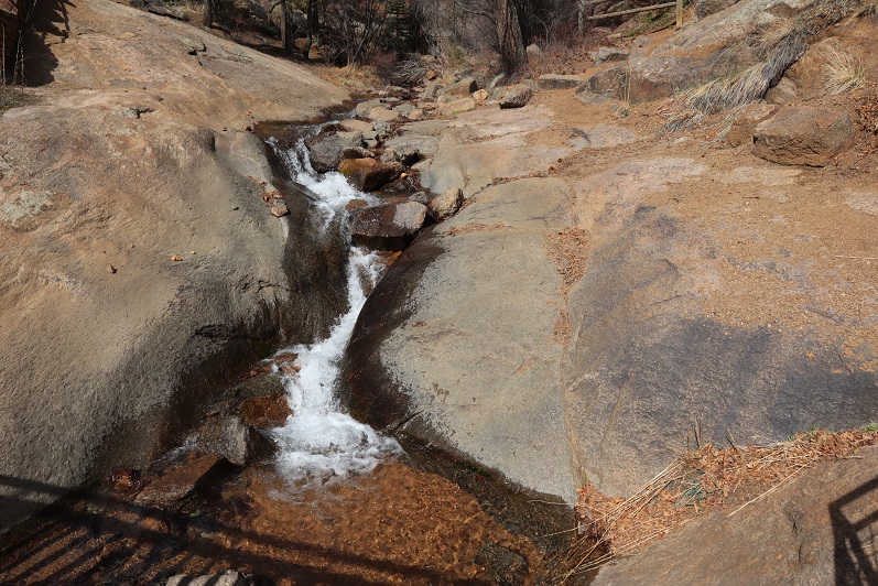
After crossing a stream
I just aimed west, keeping the snow filled gully to my left.
I hiked like this for about 2 miles, until guess what? I found a trail! It was obvious this trail hasn’t been used all winter.
I followed it north and held out as long as I could before putting snowshoes on
Just as soon as I put on the snowshoes, the snow stopped. I found myself at another gully, and this time followed it up to the saddle. This part reminded me a lot of Mt Garfield, and there wasn’t a trail.
Once at the small saddle I turned left (west) and once again donned my snowshoes.
After about 200 feet of snowshoeing I could tell I was very close to the summit, but unfortunately the snow became impassable in snowshoes (I could have done it in skis). Every step I took I sank up to my waist. The snow was just too sugary and warm for snowshoes to be effective. Maybe if I’d started earlier in the day the snow would have been more firm?
I turned around a couple hundred feet from the summit. This was my second attempt of this peak (I thought I’d summited the first time but was told the summit was actually 50 feet more to the north, so I wanted to go back and see for myself/hit the true summit). I wasn’t that upset about turning back because I was really proud of all the route finding I’d done. Also, I have a friend who wants to hike this mountain with me, so I knew I’d be back no matter what. Now I just have more accurate route information.
From here I could see my path back down the canyon. Yep, I now know these hills like the back of my hand. Who needs a map?
I made my way back down the gully to the trail, and followed my footsteps back
To where I’d written I the snow where I’d bushwhacked in from so I knew how to get back
Back down the mountain I went, keeping the snow to my right this time
I was thrilled when I made it back to Loud’s Cabin. This had been a great day! This is also where I got the idea to summit Mt Kineo, just to say I’d summited something today. I’ve summited Mt Kineo several times, and it isn’t a difficult summit. I didn’t need a map or directions to get there. I hiked back to the 677/622 Junction and left the trail to hike up the Kineo mountainside
At the false summit I had a pretty good view of Tuckaway Mountain (the mountain I’d attempted that morning). It didn’t look snow-filled, even though it had been.
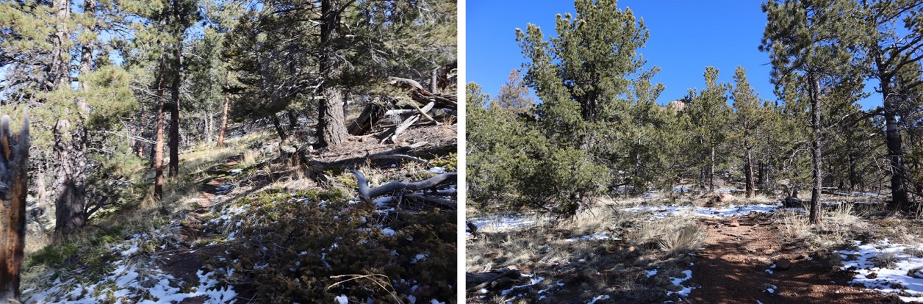
There was actually more of a trail this time up the mountain than I’ve ever seen. The first time I hiked here there was no trail, but now it’s a clear path.
The views from Kineo don’t disappoint!
The hike back was uneventful. It was weird not seeing anyone on this part of the trail: the last 1.5 miles is usually teeming with people
I made it back to my truck and the lot was about halfway full. I was glad people were getting out and enjoying the sunshine while they can. The cool thing about our trails being open is they self-regulate. There are only so many parking spaces at the trailheads so only so many people can be allowed in.
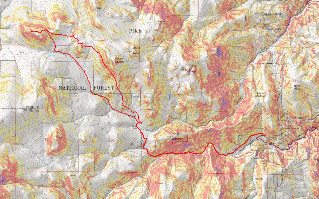
Here’s a copy of my track
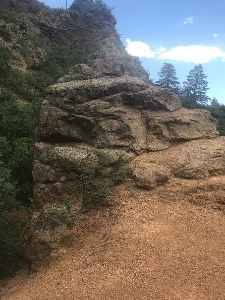
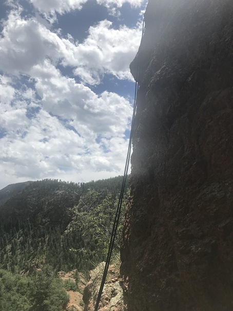
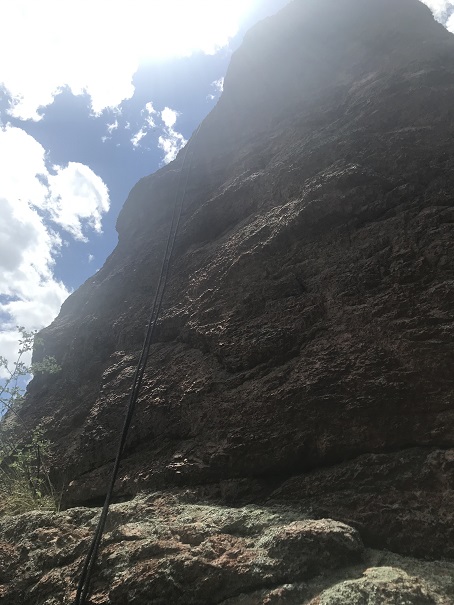
I have a busy few days ahead of me, but wanted to post that today was a total success! I’ll provide details later, but to sum it up I went back to North Cheyenne Canyon solo and successfully rappelled solo! This is big! Big 🙂
I woke up late this morning. My first alarm didn’t go off (the one set for 5 am so I could do yoga before my hike) but my second one did (the one set at 6:50am to wake up the kids). I jumped out of bed, scrambled to get ready, and was out the door in about 10 minutes, sans yoga for the morning.
I made it to the North Cheyenne Canyon Trailhead just before 8am. I met Dave there, and we started hiking around 8am, following Gold Camp Road until it intersected with the 624 St Mary’s Falls Trail. The trail was clear of mud and snow, and followed an ice filled creek filled with small trout (4-5 inches long).
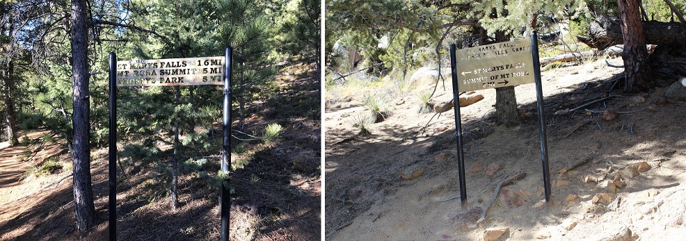
There were several metal signs along the way which indicated the correct direction to hike, but as with most metal signs, the mileage was way off.
We went right at the cutoff for St Mary’s Falls and continued up the 624 and over a frozen creek. It looked slippery, but wasn’t dangerous enough to use spikes.
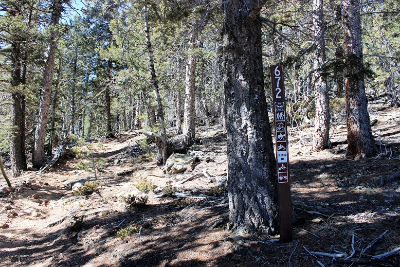
The trail winds up a ways, and eventually comes to a place where it looks like it ends, but it doesn’t. Just pass through the gateway and continue a few yards to come to service road 381. Take the road right (North) for another few yards and you’ll see cairns to the left that indicate the 672 or Nelsons Trail (Left/West).
Unfortunately, the 672 trail marker is difficult to find, and not on the road. It’s about 3 yards up from the road on the trail, hidden under a tree. The cairns make this an easy trail to find however.
At this point the trail became steeper, so Dave and I separated for a bit. As I was hiking I saw this cool heart shaped rock right in the middle of the trail.
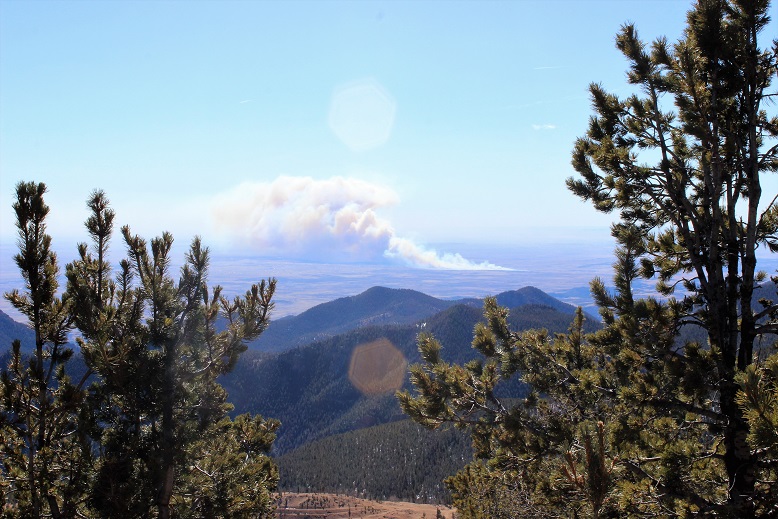
And I could see the fire burning on Ft. Carson
This part of the hike just flew by! It was steep, but not too steep.
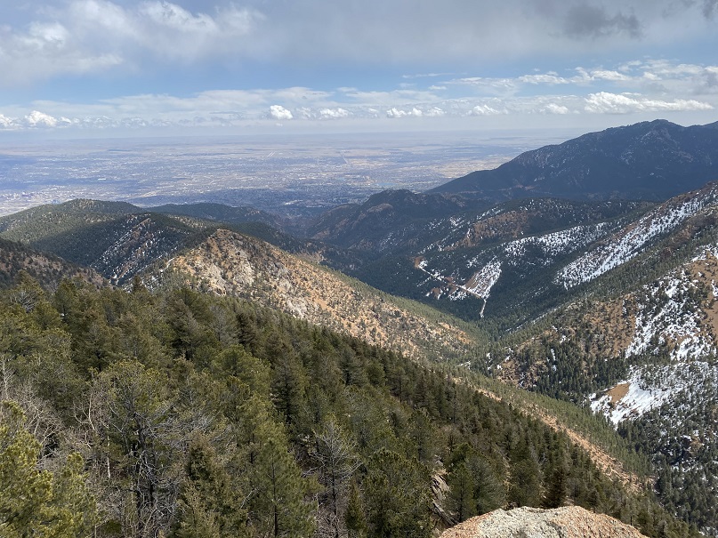
I love to hike inclines fast, and made it pretty quickly up to the top to enjoy the view of Almagre and Pikes Peak. And to sit for a while and have lunch.
The view was amazing, but it was incredibly windy!!!
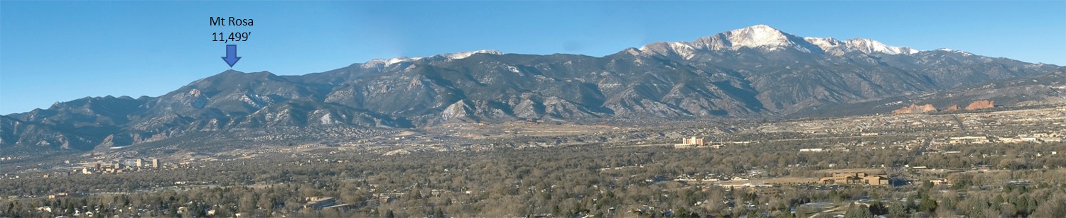
From my lunch spot I could see the rest of our hike. That’s Mt. Rosa…
After about 20 minutes or so I was beginning to get really cold from sitting in one spot. My sweat had turned to ice and I was losing feeling in my fingers, so I got up and hiked a bit more to the 672/673 junction. The sign for the 673 had blown down, but still indicated which way to go.
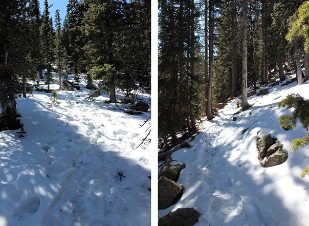
I stood behind some trees, using them as a wind break, and waited for my hiking buddy. When he arrived we continued on the 673. We passed a very windy saddle, and then had 500 feet of elevation left to go before reaching the summit of Mt. Rosa. From almost the beginning of this part of the trail it was entirely covered in snow. It wasn’t enough snow/ice to put on microspikes, and we weren’t postholing too often, so our hiking boots did the trick. There was a pretty good trench indicating the way up.
The wind increased and I got colder and colder, but instead of my hiking too far ahead we stayed closer together for this last part of the hike.
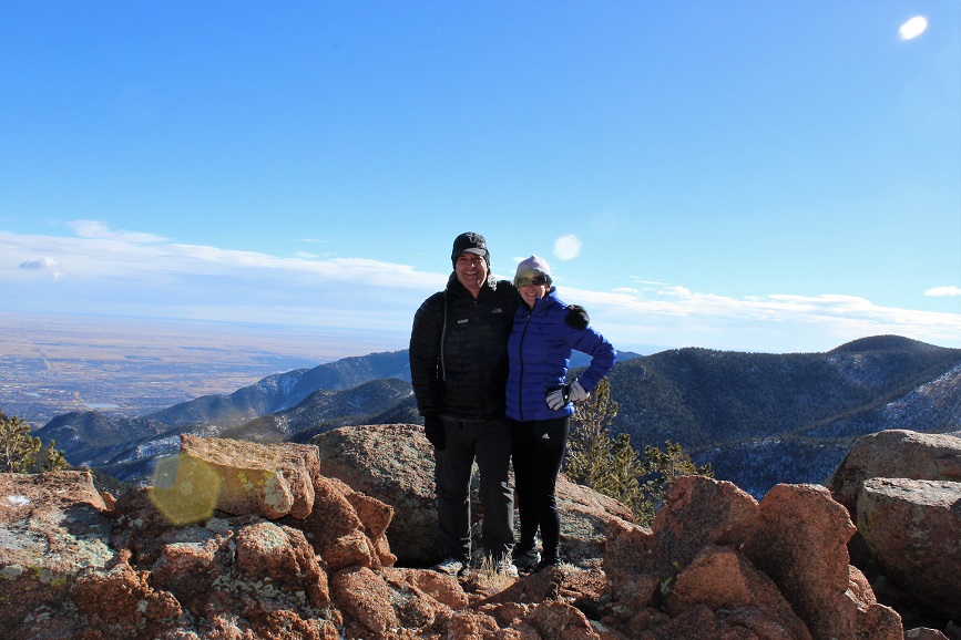
Summit photo of Dave and I!
The views from the summit were amazing! We could see Almagre, Pikes Peak, Ft. Carson, the Penrose-Rosemont Reservoir, and a bunch of Mountain Ranges: The Wet Mountains, Spanish Peaks, Sangre de Cristos and Sawatch.
We didn’t stay long at the summit because that wind was INTENSE and cold! When we finally made it back to the Nelsons Trail area I began to thaw out a little. I could talk again and my fingers were burning, which meant the blood was rushing back into them. Dave was unfairly quite warm and tried to help warm up my hands. When we reached the frozen creek it had thawed out a little, giving us some traction as we crossed.
About halfway down towards St. Mary’s Falls I could take off my beanie and gloves, and the final part of the hike was pleasantly warm. It had just been cold near/above treeline because of the wind.
We made it back around 2:30pm, making the 12 mile, 4000’ in elevation gain trek in 6.5 hours.
The last time I tried to summit this mountain I was unsuccessful (https://wildwandererlmc.wordpress.com/2017/12/09/north-cheyenne-canyon/ ) mainly because the trails had changed. The forest service had actually destroyed some trails, created new switchbacks and connections for others.
I met Tim at 7:30am and we drove the 13 miles of dirt that is Old Stage and Gold Camp Road. This time instead of hiking in through North Cheyenne Canyon and the 7 Falls trail we hiked in from Frosty’s Park.
It had snowed 3 days ago, but it was obvious no one had been in the area since. We were making the first tracks. There were a couple of frozen river crossings, but the Tundra did just fine.
We started at the 701 Trailhead at 8:40am, intent on hiking to Runs-Down-Fast Mountain.
This trail too was undisturbed. It was really cool to be breaking trail in 2-4 inches of powdered snow!
After hiking for about 2 miles we were able to see Runs-Down-Fast Mountain through the trees. Kind of. The area was densely treed and it was difficult to see any mountain, but we were pretty sure this was it.
There’s no trail to the summit, so we just headed north through 600 feet in elevation containing a lot of downed trees, boulders, brush, and snow. And the wind! It was insane! Gusts were supposed to be 55mph, with sustained 25-35mph winds. They weren’t kidding!
We reached a false summit and then continued on for about 20 more yards. The view from the top was lacking, as the summit was heavily treed at 11,048’
We walked around for a bit, and found an ok view from the north most part of the summit of Almagre. Pikes Peak was hidden in the clouds.
Since it was windy we didn’t stay long, but descended and once again found the 701 trail. I’d wanted to summit 2 or 3 more mountains, but with the recent snow the trails were hidden (or maybe they weren’t there at all?). We did see this plateau and decided it looked doable, so we headed up through the wind to its summit.
The slope up was all scree, but the good kind that is easy to find traction on. I tried to take a summit selfie but my camera kept getting knocked down by the wind!
When Tim made it to the summit we tried again. The camera kept getting knocked around, but I think we got a pretty good shot!
The views were much better from this summit, even though it was about 600 feet lower than Runs Down Fast. This point has no name (or written elevation, but it’s 10,000+)
It was super windy here, so we headed back down to the trail again. I wanted to try and figure out where I’d gone wrong the last time I hiked this trail (I never did find Runs Down Fast last time) so we continued on the 701, looking for the 720. We hiked all the way to the 667 and never saw it, so we turned around and decided to look more carefully. Check it out! We found the destroyed trail! They’d ripped up perfectly healthy trees, roots and all, to try and hide the existing trail.
We followed the 720 for a while, but eventually hooked up with the 667 again, which brought us to the 668 and around. I was confused the entire time, mainly because we were below treeline and the route didn’t match my map. I was freezing by this point. It wasn’t lost on me we’d hiked in about 5 miles and would need to hike back 5 miles to get to the truck. My fingers were numb (but at least my feet were warm). The trail kept descending until it reached about 8500’ and followed the creek.
We hiked the 668 and Ring the Peak trail following the Cheyenne Creek. There was a lot of snow here too.
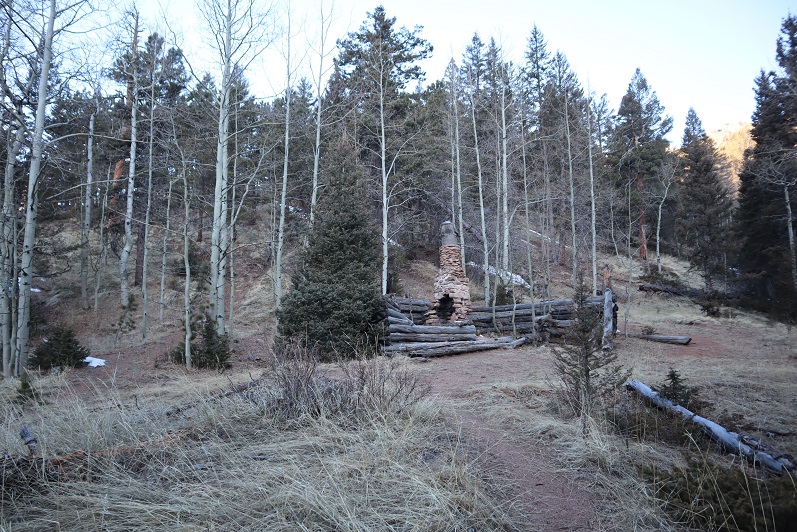
This is where the elevation started to climb rapidly. We’d descended about 2500’ and needed to make it up again to reach 10,500’ where the truck was parked. Most of that elevation gain was in about a mile and a half. We passed an old cabin
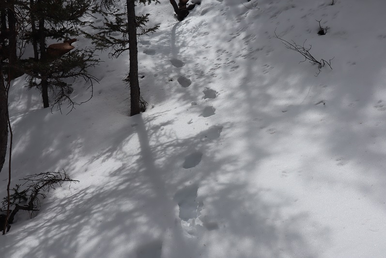
And for the last mile we followed Bobcat tracks! They were really neat to see, clearly marked in the snow, and proof of wildlife. Unfortunately they were headed in the direction opposite of where I was headed, but I was able to follow them almost the entire way back.
The elevation kept getting steeper, so Tim and I separated for the rest of the hike. He said he’d just follow my tracks in the snow. Right about now it started to snow again. Not a heavy snow, but more of a sprinkling of glitter in the air. The wind had died down. It was quiet, calm, and peaceful. I was no longer cold, as my body was producing heat from hiking harder up the hill.
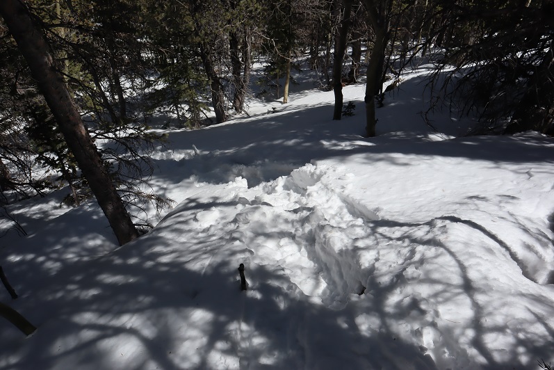
Take a look at this photo: It’s a stream crossing. Under that 2 inches of snow is another 2 inches of solid ice, spread out for about 20 feet. It was incredibly slippery, so I traversed around it and up the hillside. The one part of ice I couldn’t avoid sent me skidding for a bit, but I maintained my balance.
I made it back to the trailhead at 2:04pm. I’d say the hike was about 10 miles, with 3500’ of elevation gain total (up and down and up again).