RT Length: 11.85 miles
Elevation Gain 4033’
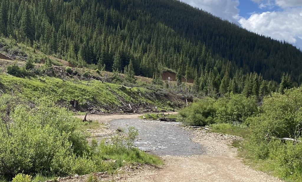
Driving to the trailhead had me crossing Mineral Creek. The water was low, and it was easily crossable, although I saw several capable vehicles turn back.
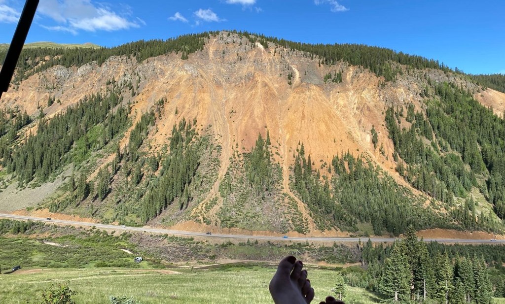
I parked the night before near Imogene Mine, a great view of the Million Dollar Highway below. I was worried I’d hear traffic all night long, but very few vehicles went by.
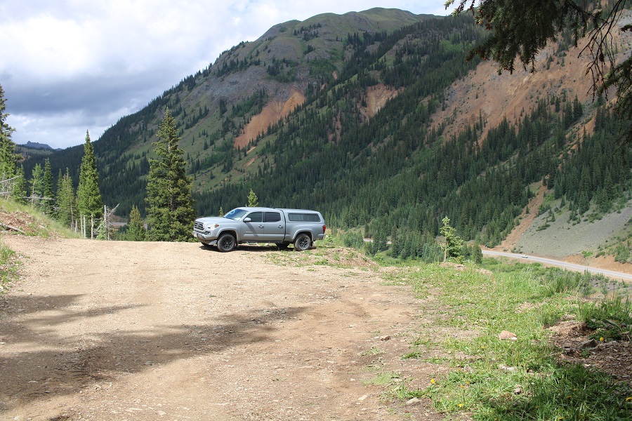
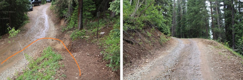
When I woke up, there were several other vehicles parked near me, so I did my best to be quiet as I got my gear together. I was on the trail at 4am. I followed the 4WD road south for a quarter of a mile to the actual trailhead.
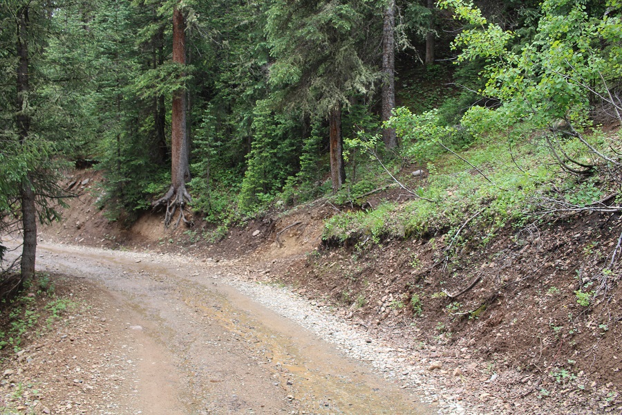
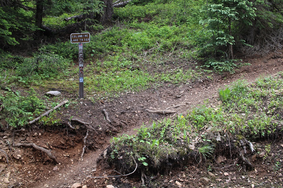
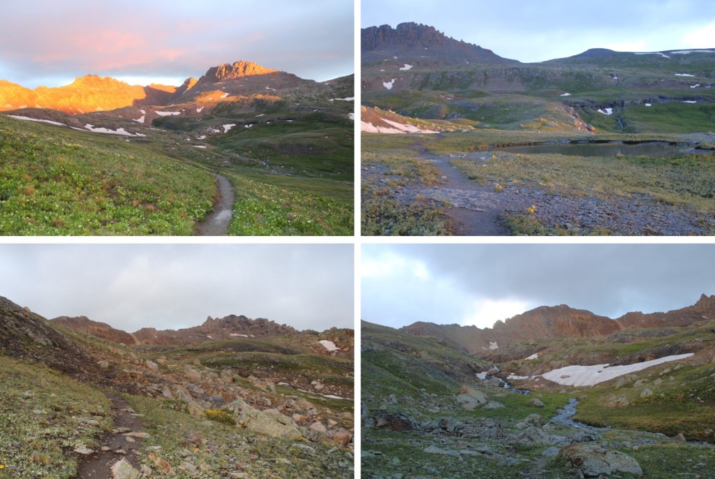
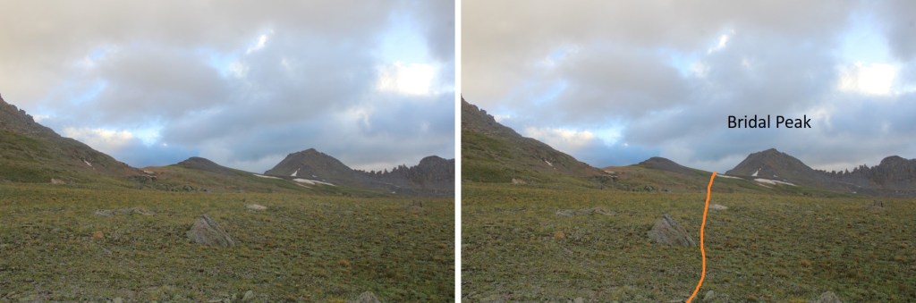
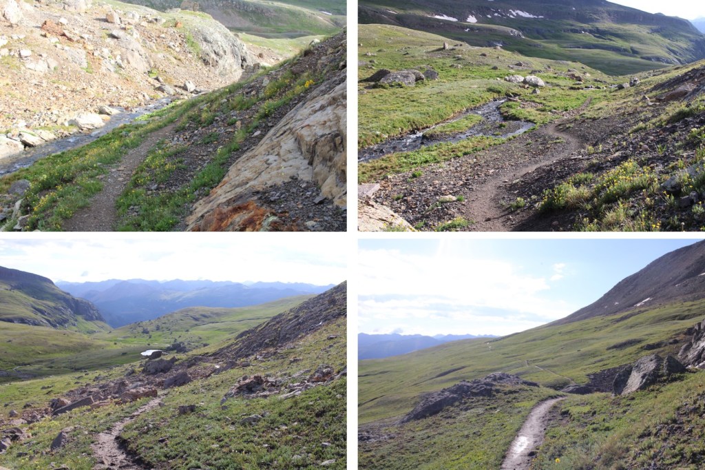
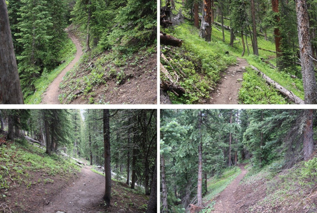
I headed up Columbine Lake Trail 509. This is a class 1 trail that goes all the way to Columbine Lake. There are several ways to get to the summit of Bridal Peak, but if you don’t want to lose excessive elevation, heading to the lake first is a great option.
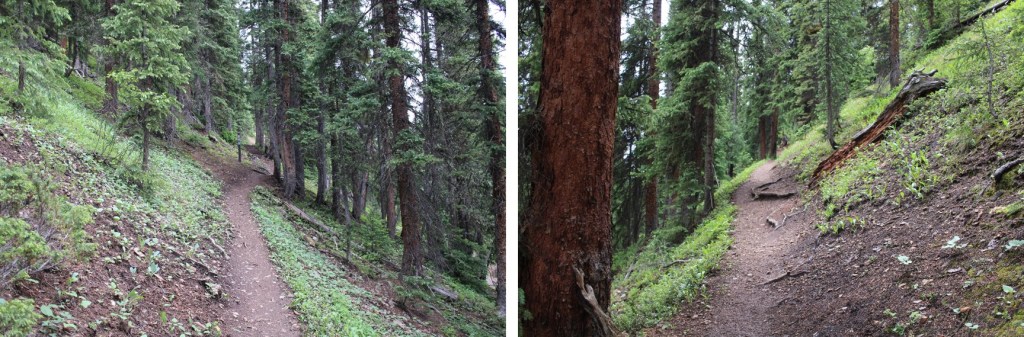
This trail steeply switchbacked up the hillside to treeline.
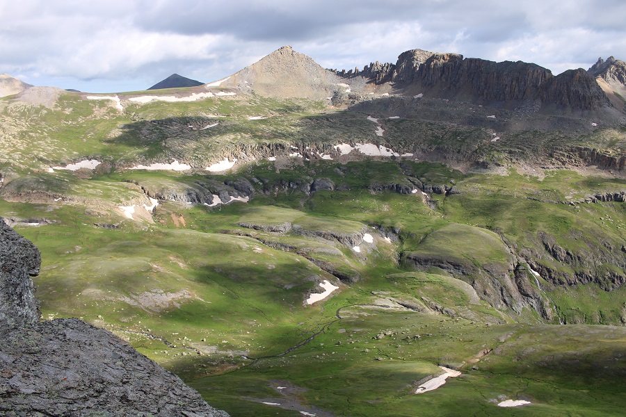
I entered a small basin, and continued following the trail to the upper basin. I could hear dozens of ptarmigans and their chicks chirping all around me. That’s one of my favorite parts about hiking this early in the morning: hearing everyone waking up.
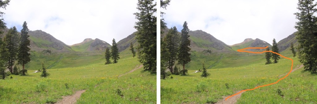
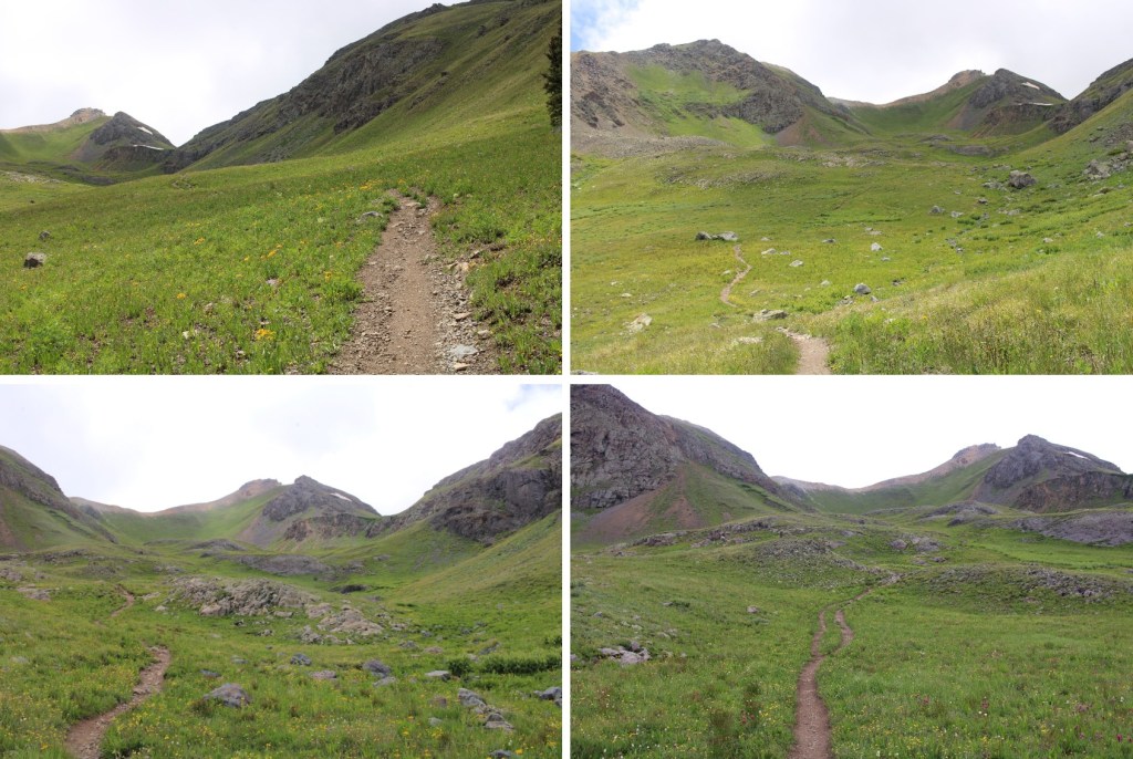
I crossed over into the Mill Creek Basin, and continued following the trail west. This is still a class 1 trail.
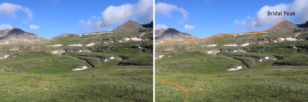
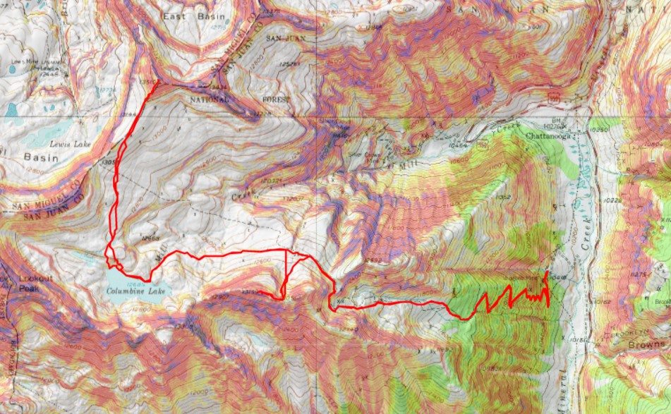
From here you can see Bridal Peak, but to avoid losing and re-gaining elevation, I headed to Columbine Lake first. Here’s my overall route.
Right about now the sun was beginning to rise…

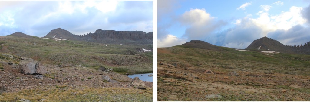
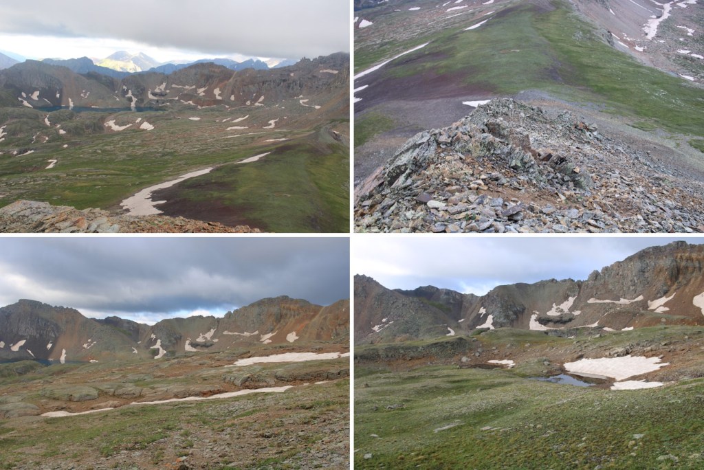
Here are a few more pictures on the class 1 trail to Columbine Lake
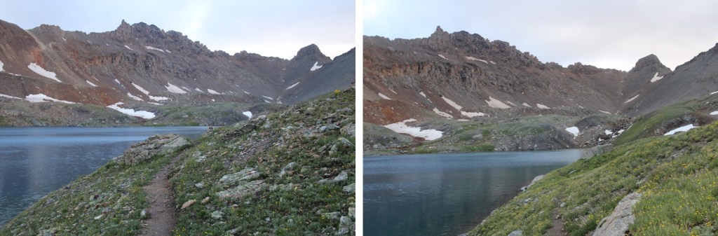
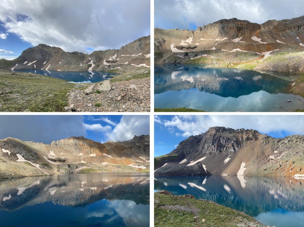
I made it to the lake, crossed the small dam, and followed the shoreline west
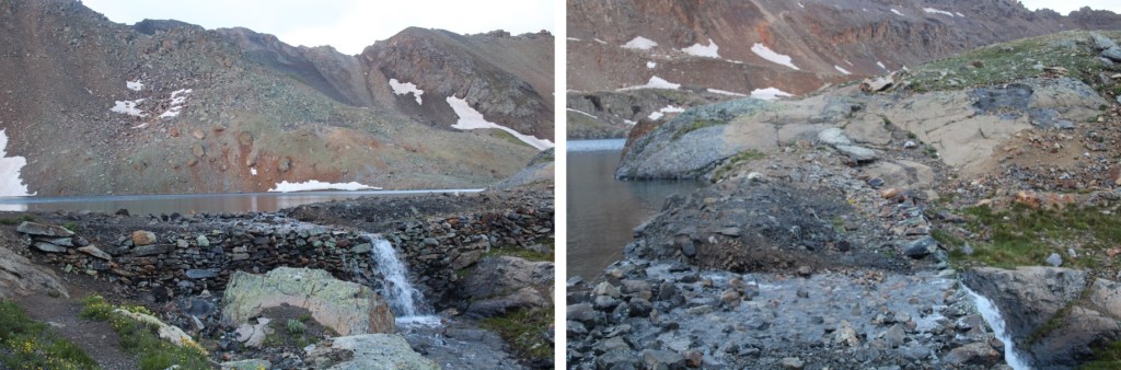
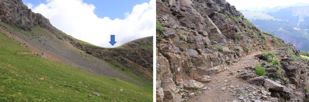
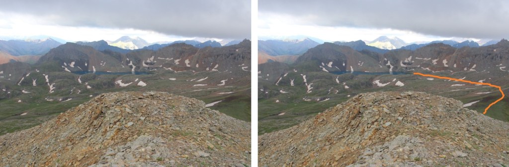
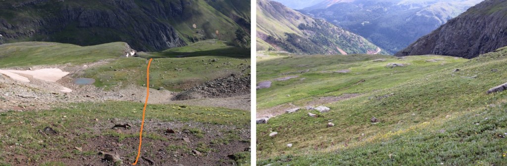
I wanted to ascend to the ridge. It can be done at just about any point before the small waterfall. I took a slightly different route up than I did down, but they all lead to the correct area. This is the route I took
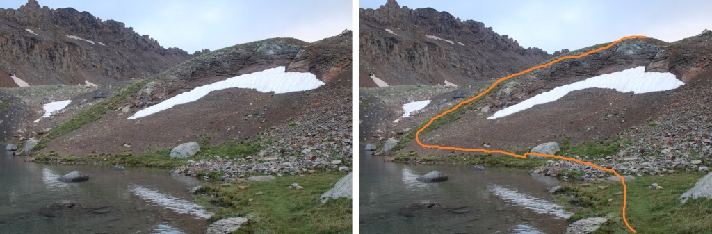

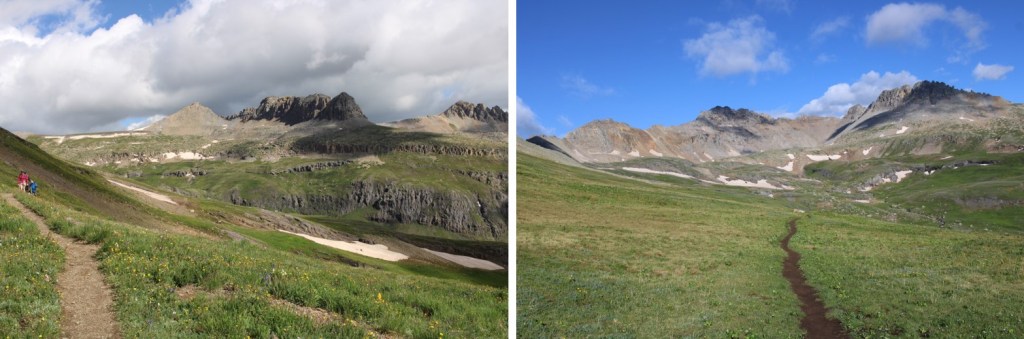
Now to cross the upper basin and head north to the ridge. Here’s my overall route
And some step by step pictures
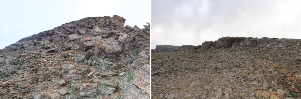
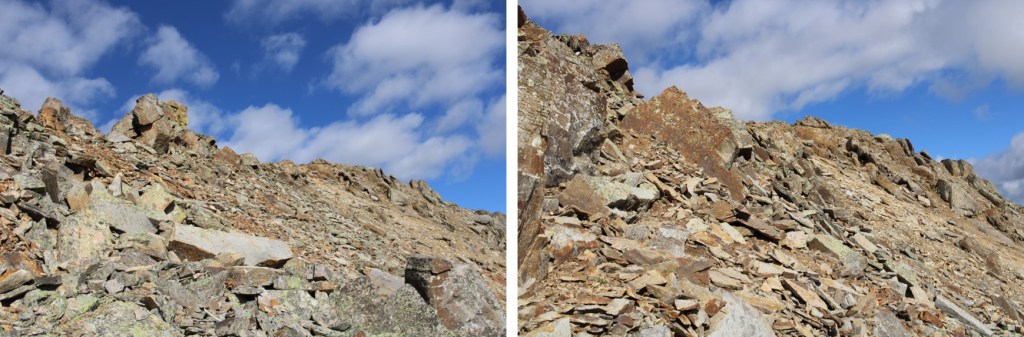
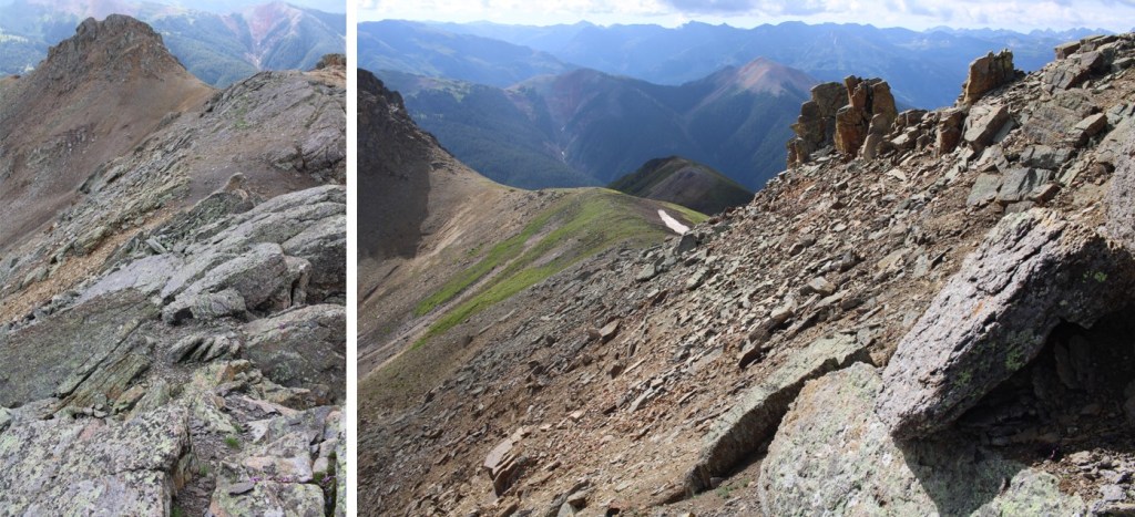
Once on the ridge, it was an easy class 2 trek to the summit. There’s an obvious trail, but if you don’t see one, stick to the ridge. This area is covered I shale.

I summited Bridal Peak at 7:10am
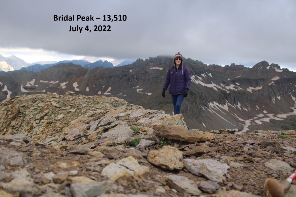
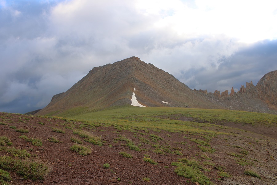
Bridal Peak:
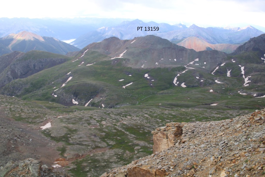
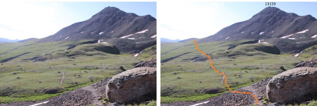
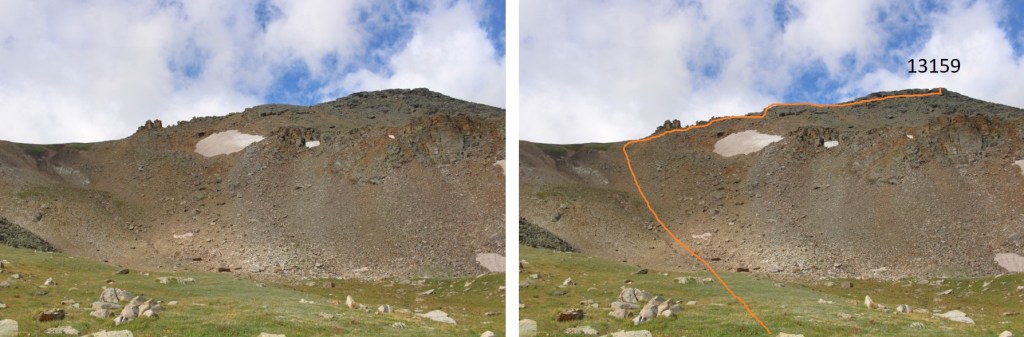
From Bridal Peak I could see PT 13159 to the southeast.
To get there, I made my way back to Columbine Lake
Here are some pictures of the route back to the lake
Once at the lake the sun started to come out, so I took a few pictures. This is an extremely popular hike, and I started seeing people like ants along the trail. The lake was beautiful. Pro-tip: You get better pictures of the lake, and the mountains mirrored in the lake, from up high.
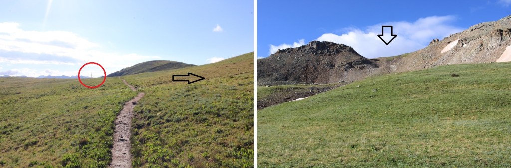
I made my way back to the trail

And then followed it east to 12550’
At about 12550’ there will be a post. At this post, I turned right, and headed south up a gully
Before going up the gully, get a good look at the route before you. This can be kept class 2 (maybe easy class 3) if you know what you’re doing ahead of time. I made this class 4 in sections, not knowing where exactly to ascend at the end. I kept wanting to ascend too early, and then I’d cliff out. This is the route you want to take
It might have been due to the recent rain, but this gully was easy to ascend.

At the top of the gully I turned right, and followed the ridge
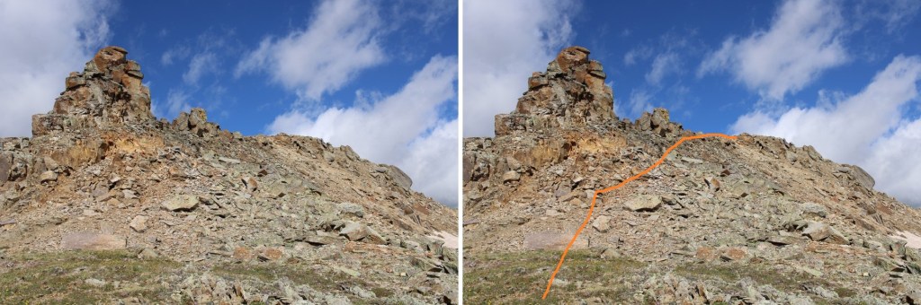
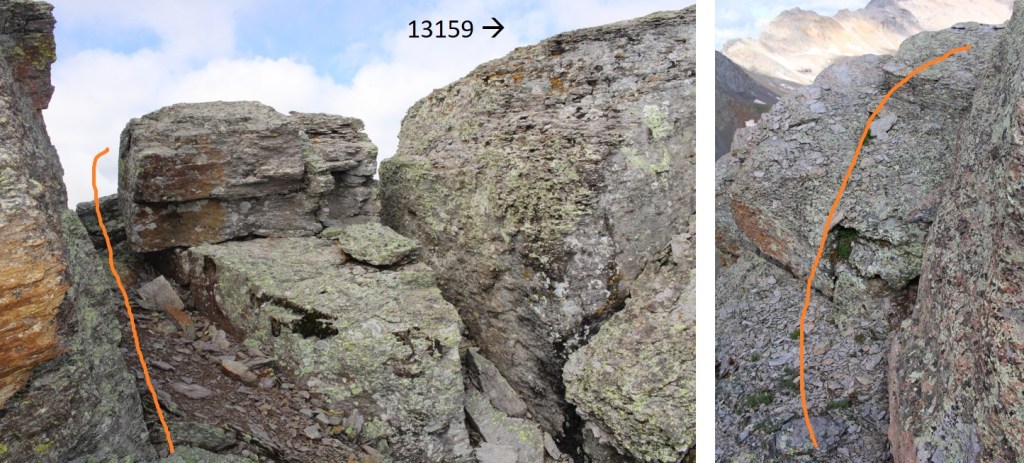
Once I got here, I dipped down a bit. No longer try to stick to the ridge, as there are large gaps in the boulders too big to jump across. Also, don’t try to ascend yet: it’ll be class 4, and the final ‘summit’ is also too far to jump to get to.


This is what the summit looks like, but it’s actually easy to access, if you go from the left
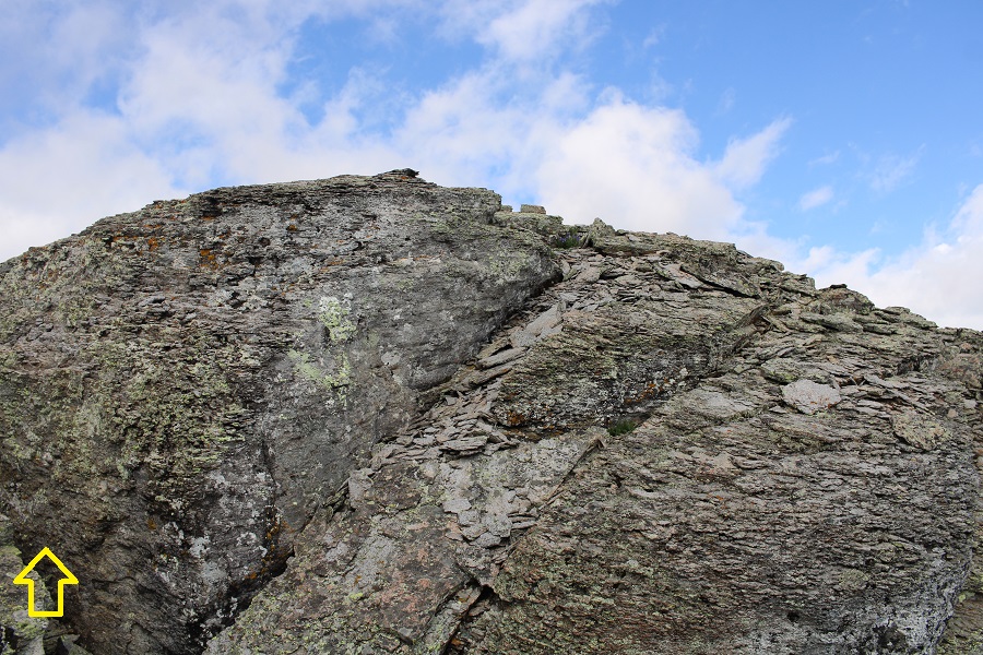
Go around the boulder, then it’s a simple walk to the summit
I summited PT 13159 at 8:55am

PT 13159:
From the summit, I re-traced my steps back to the gully.


Then descended the gully, and picked back up with the Columbine Lake Trail
I took the Columbine Lake trail back to the road

Then followed the road back to my truck
I made it back to my truck at 10am, making this an 11.85 mile hike with 4033’ of elevation gain in 6 hours.
On to the next trailhead!

Columbine Lake is my favorite hike in Colorado, and now I’m really motivated to climb one of these peaks to see it from above. The photos looking down on it are gorgeous!
LikeLike