RT Length: 10.28 miles
Elevation Gain: 3263’
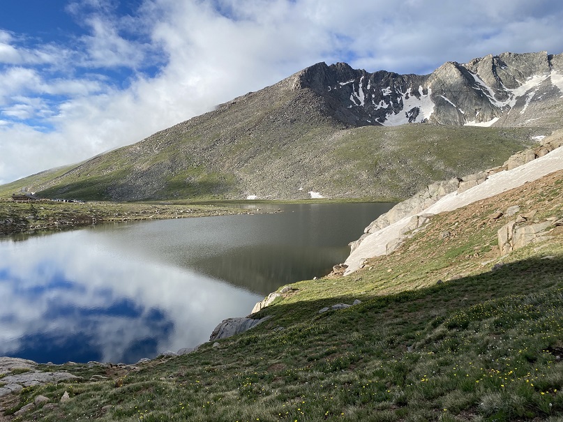
The permit system was simple, especially for Summit Lake. I bought it the day before, and there were 23 spots left for entry between 8-10am, the time I picked since it was the earliest. There were two other vehicles in the parking lot when I was on the trail at 4:45am.

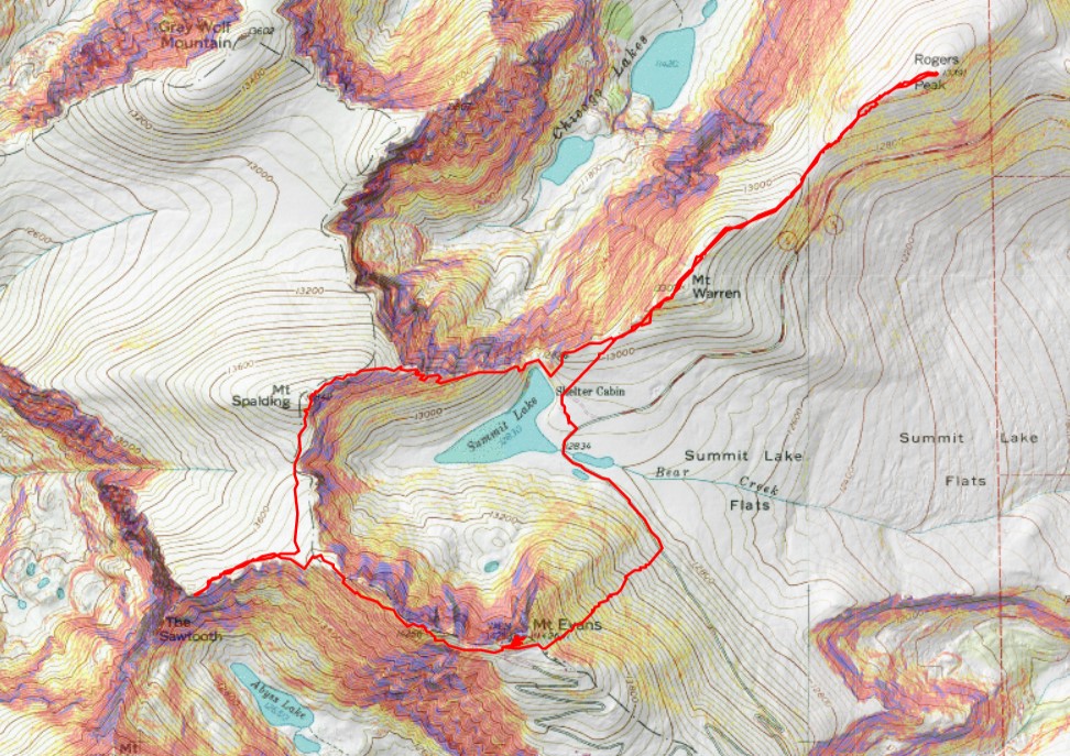
I was headed northeast, to the summit of Mt Warren. This was simple, class 2, and straightforward. Except it was dark and the rocks were slippery because of the rain. Here’s the route I took.
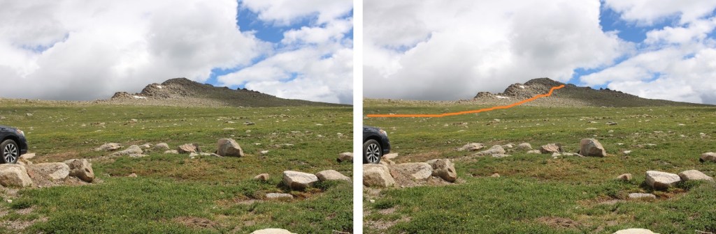
After hiking northwest for .75 miles, I summited Mt Warren at 5:10am
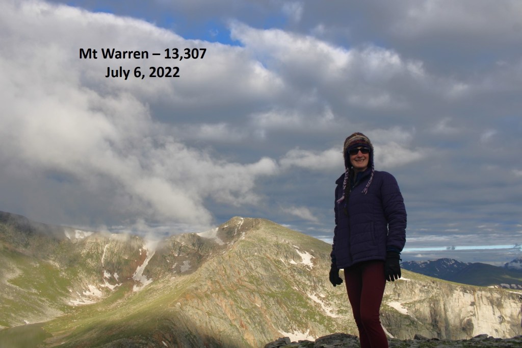
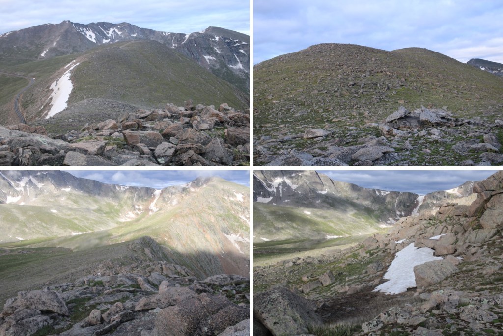
Mt Warren:
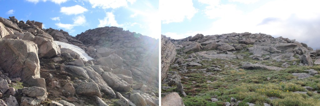
I continued following the ridge northwest, to the summit of Rogers Peak. This was also class 2
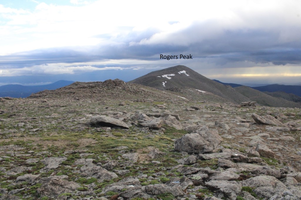
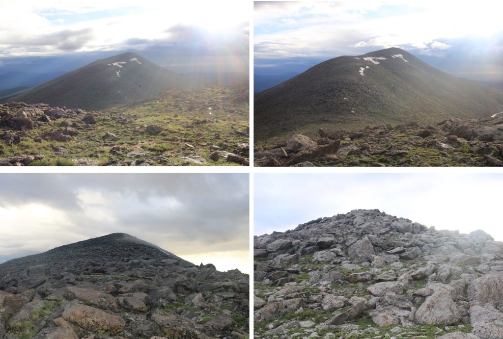
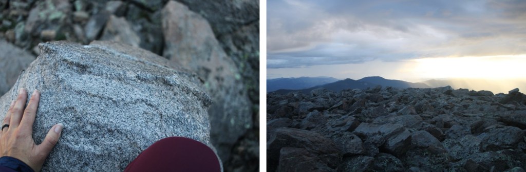
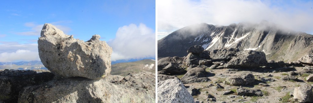
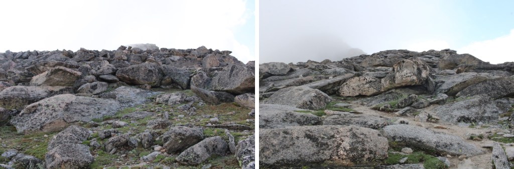
The summit of Rogers Peak is the top of this rock.
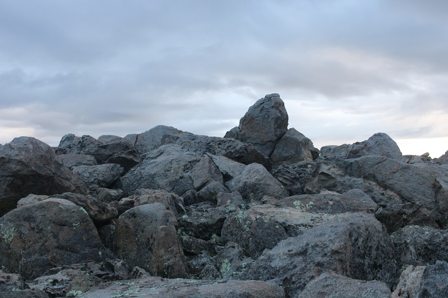
I climbed up it (not difficult) but took the video from below.
I summited Rogers Peak at 6am
Rogers Peak:
Now to re-trace my steps back to Summit Lake.

I re-summited Mt Warren, and continued southwest towards Summit Lake

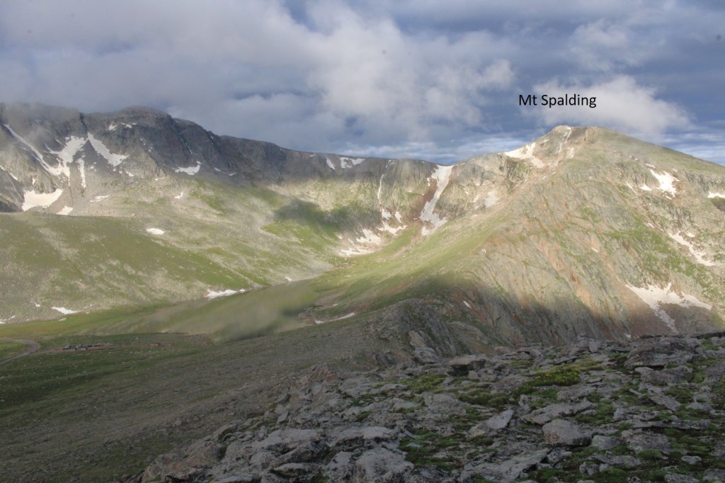
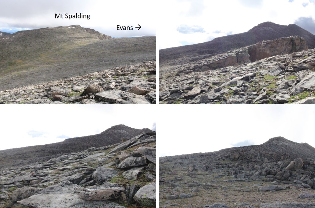
Once at Summit Lake, there was a class 1 trail that let me up to the summit of Mt Spalding

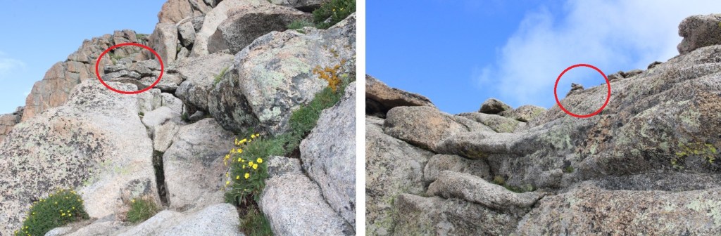
While this was class 1, there were a couple of quick class 3 scrambling moves. Large cairns made the route obvious
I continued following the ridge west towards the summit, on the class 1 trail
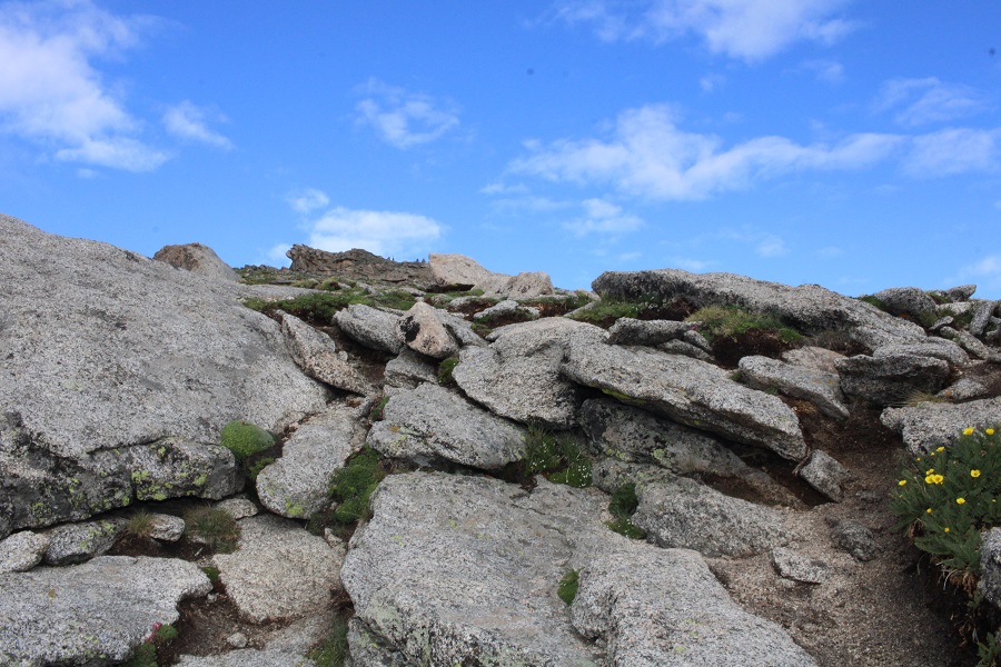
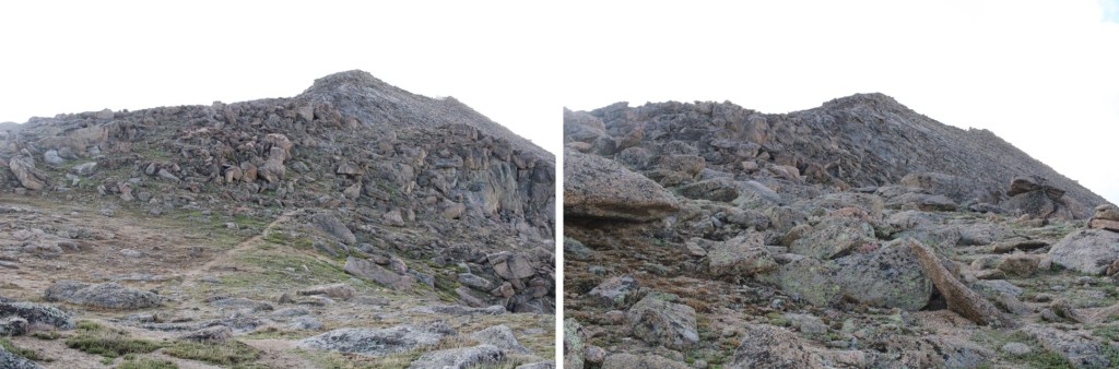
This rock is the summit block. I climbed it. The summit area (besides the block) is flat
I summited Mt Spalding at 8am
Mt Spalding:
From Mt Spalding I could see my next objective to the southwest: The Sawtooth
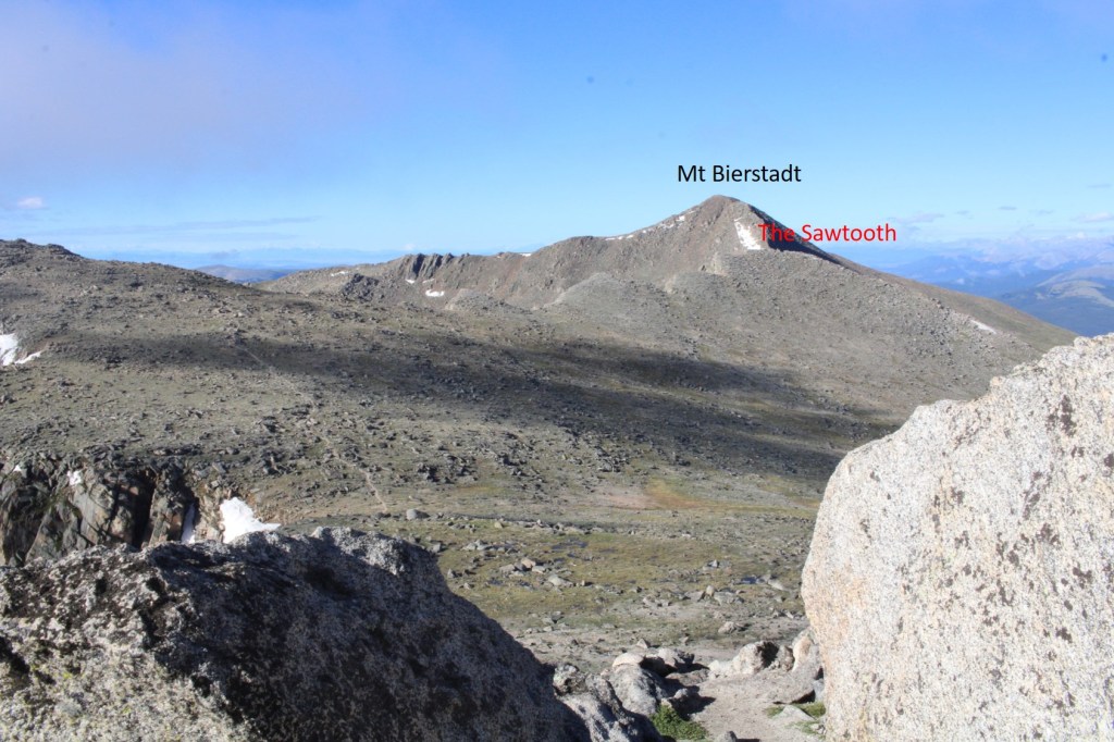
I continued following the class 1 trail south towards Mt Evans, but once I hit the ridge to The Sawtooth I left the trail and headed west. Here’s my overall route
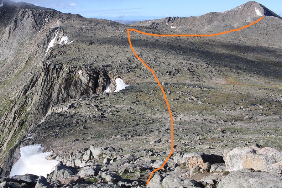
And some step-by-step pictures
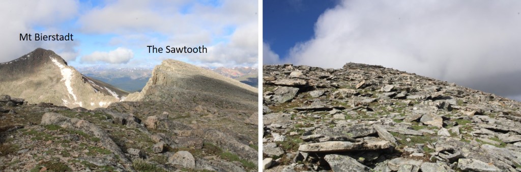
I summited The Sawtooth at 8:35am
The Sawtooth:
From The Sawtooth I could see Mt Evans to the east (actual summit hidden)
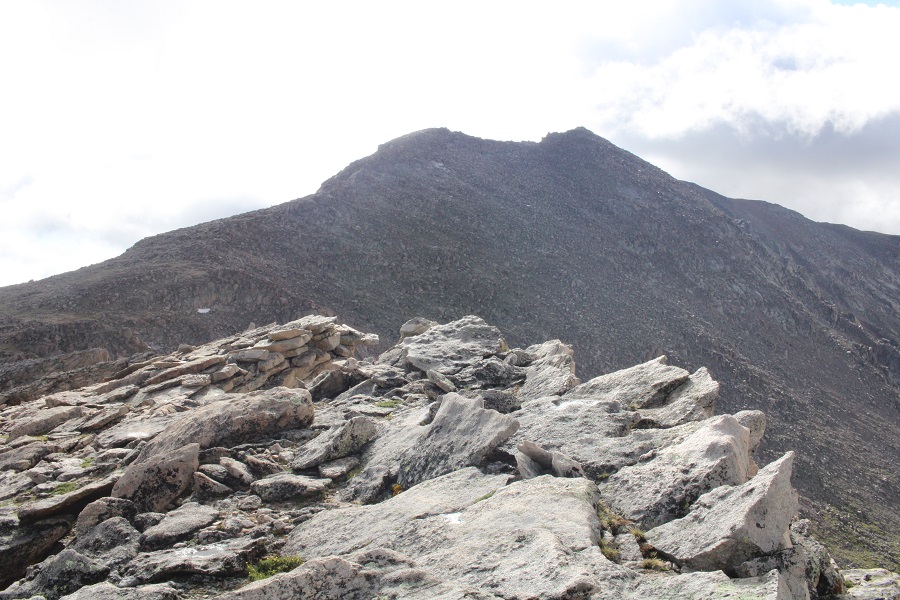
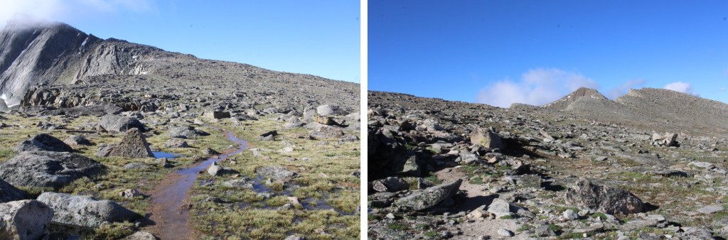
I made my way back to the Class 1 trail
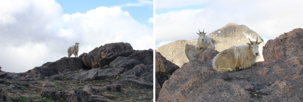
I was still off trail, but just before linking back up with the actual trail I came upon a couple of mountain goats. They didn’t seem to mind my taking their picture. I never would have seen them if I’d been 50 feet away, on the actual trail.
Now back on the trail, I followed it southeast
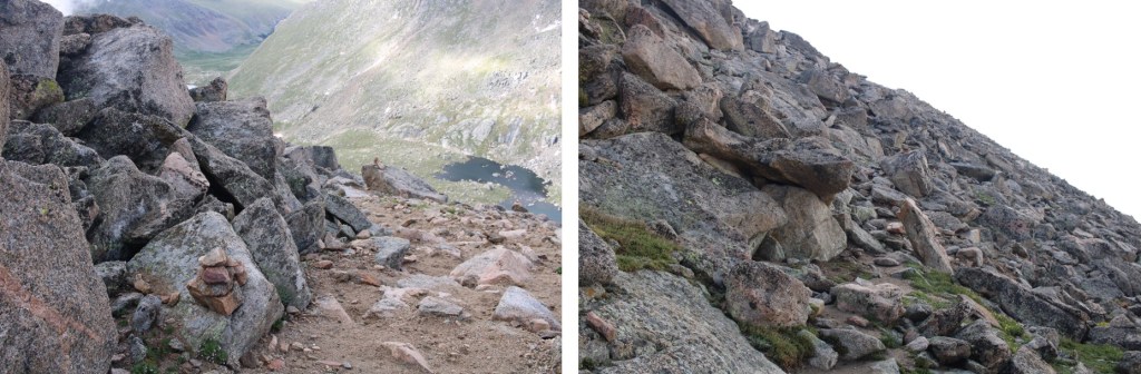
I came to a small saddle, and while there are cairns on the other side, the true trail descends the gully a few feet, and picks up below. There are cairns to indicate this way as well

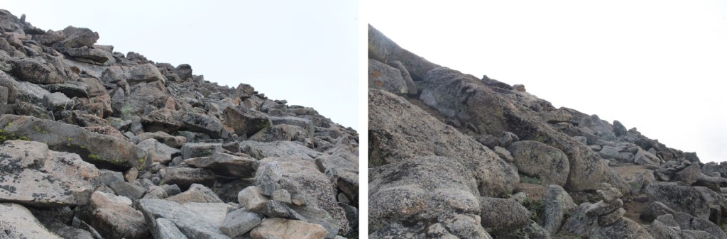
I followed the cairns southwest, until I made it to 14175’. I then left the trail, put on my helmet, and aimed for the ridge, and West Evans above. This was all easy class 3
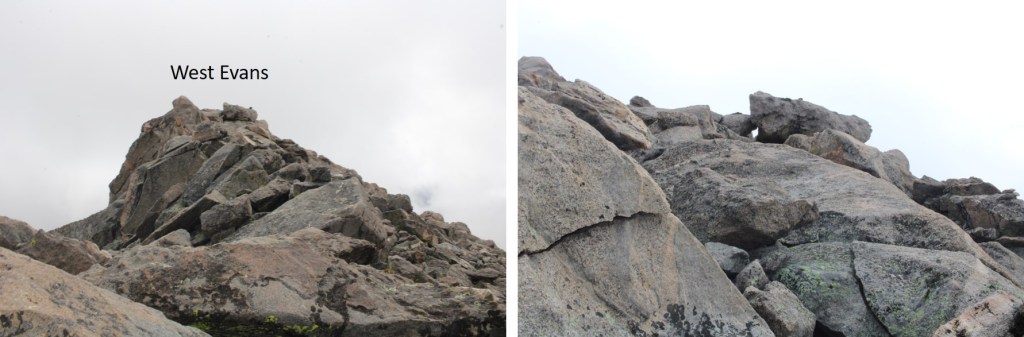
I summited West Evans at 9:25am
West Evans:
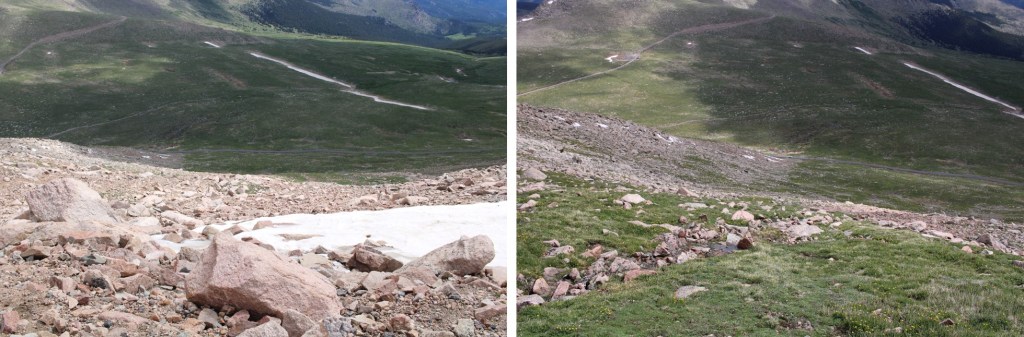
From West Evans I could see the summit of Mt Evans to the east.
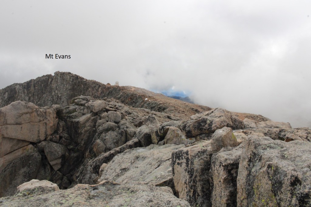
I descended back to the class 1 trail, and followed it east to the summit of Mt Evans

Just before the summit I followed the large switchbacks to the summit

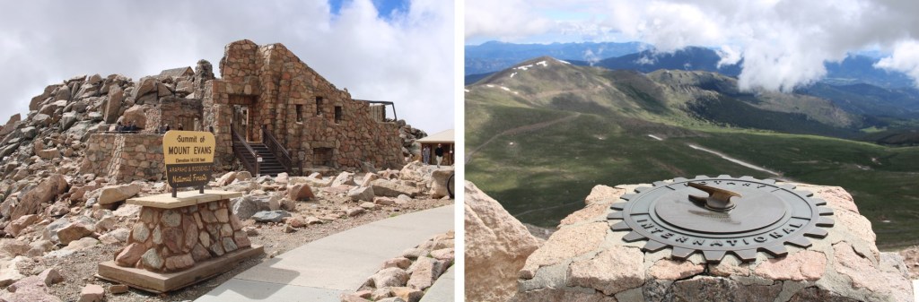
This is the actual summit of Mt Evans. I still had on my helmet, so I scrambled up.
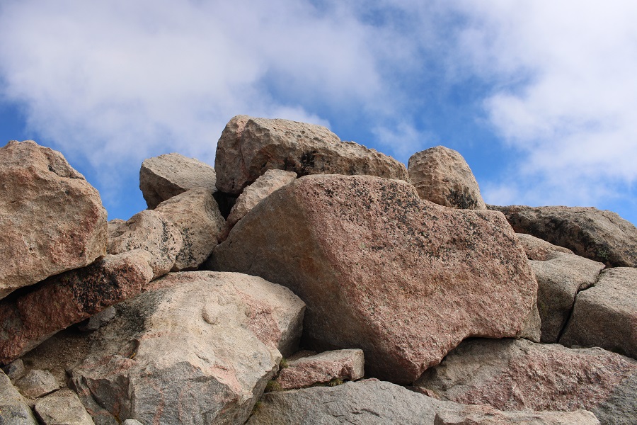
I summited Mt Evans at 9:40am
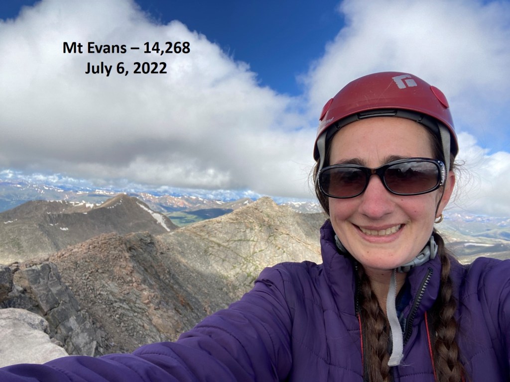
Mt Evans:
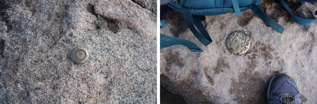
There were summit markers… not on the summit
And tons of tourists. Time to head down. I made my way back down the switchbacks, and headed east to the summit house
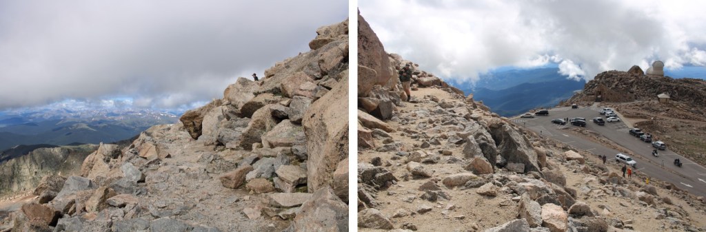
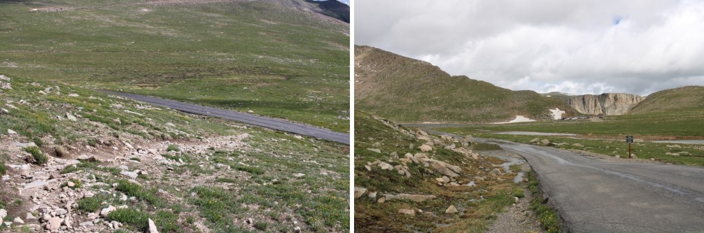
Once at the summit house I continued northeast, back down to the road below. At times there was a well-defined trail here
Back on the road, I followed it north to Summit Lake, and my truck
I made it back to my truck at 10:30am, making this a 10.28 mile hike with 3263’ of elevation gain I 5 hours, 45 minutes.
On to the next trailhead!
