RT Length: 9.87 miles
Elevation Gain: 2183’
This wasn’t my first attempt at Conejos Peak. I was actually here much earlier in the season, doing my best to establish a new winter conditions route. I was obviously off the main trail, and around 12,500 (my lucky elevation for finding cool stuff in the mountains) came upon this: An elk skeleton from last season.
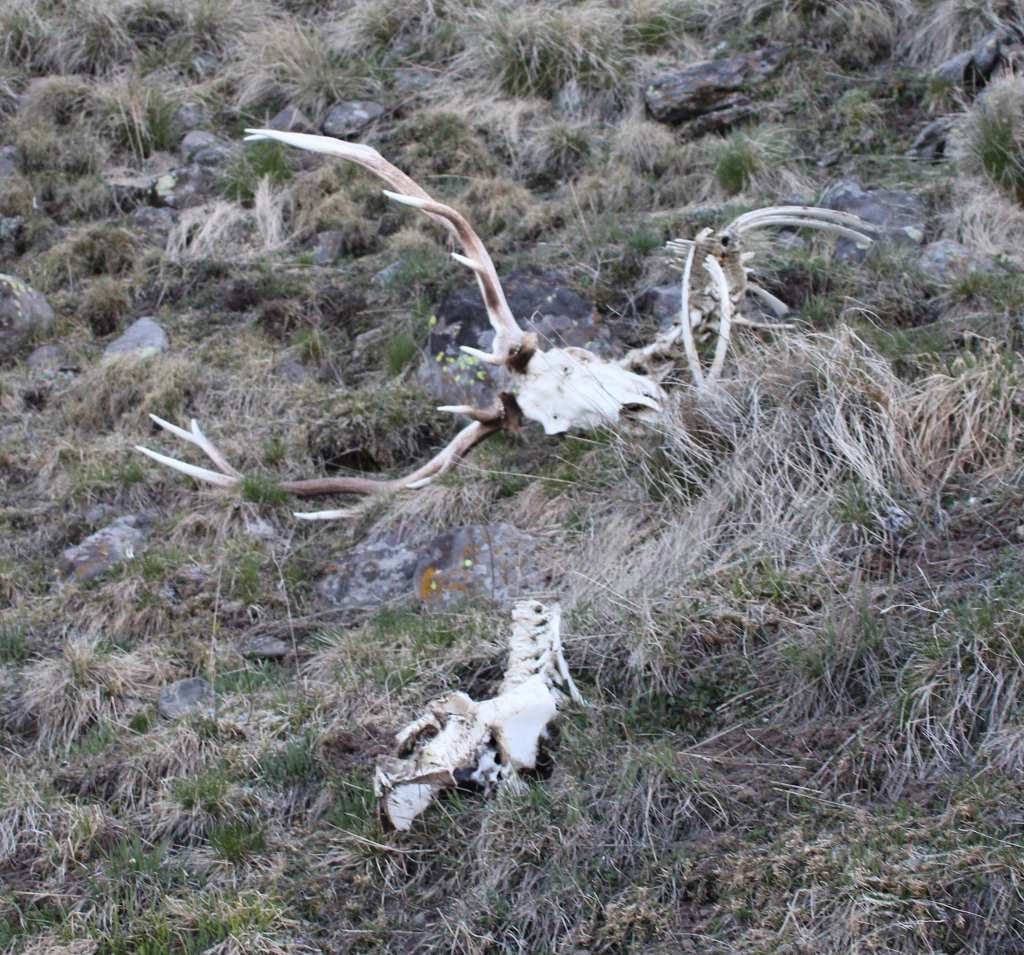
So, I did what anyone else would have done in that situation: I severed the skull from the spine, strapped it to my backpack, and hiked it back to my truck.
The deadhead fit perfectly into the back of my Tacoma. I drove it home, and when I opened the back of my topper I could see dozens of maggots, and there was an awful smell. Apparently, what looked like a pretty clean skull still had grey matter inside, along with maggots taking care of the issue. I’d kept the skull attached to my backpack, which was now covered in those maggots and grey matter (Yay! New backpack!). I threw away the backpack and decided to use my outdoor fire bucket and boil the skull to begin the cleaning process, and get rid of all those maggots.
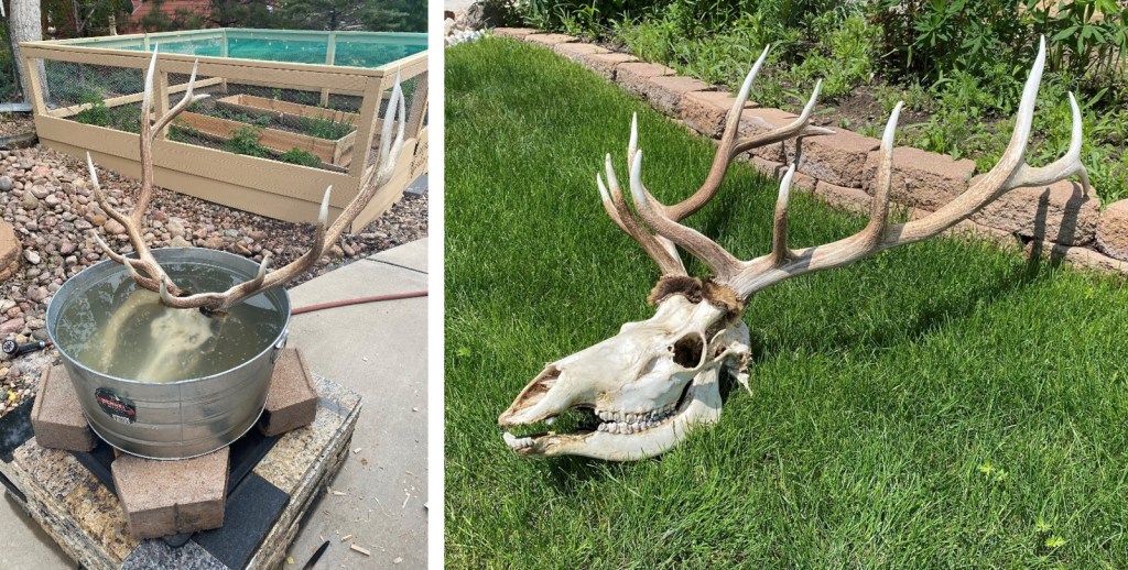
Of course, I told other people about my find, which was longer tip of nose to end of antler than I am tall, and I was warned there might be rules against taking it and bringing it home. Afraid I’d unknowingly done something illegal, I called up the Colorado Department of Wildlife, and asked them if I could keep the deadhead. They asked me a couple of questions, like where I found it and on what date, then gave me the all clear to keep it. The DOW employee who helped answer my questions was named Chad (the only Chad at the office), so I named the deadhead Chad. I’m currently working on mounting it (I’m thinking mountains in the background), and I’ll post a picture to my IG when it’s done.
Ok, on to Conejos Peak.
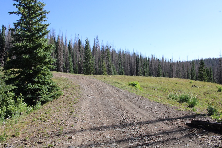
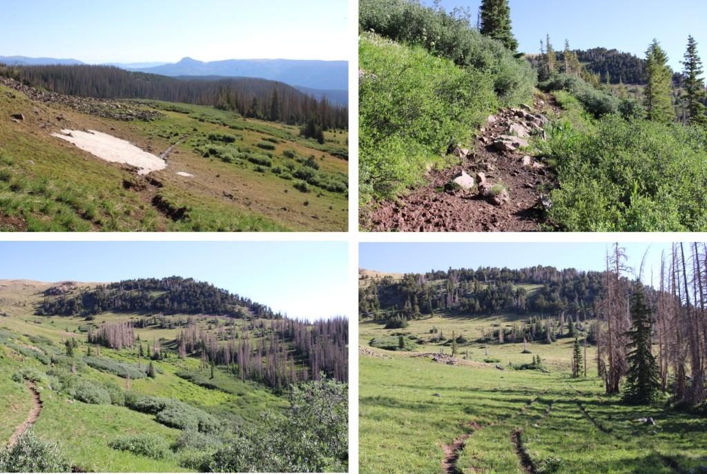
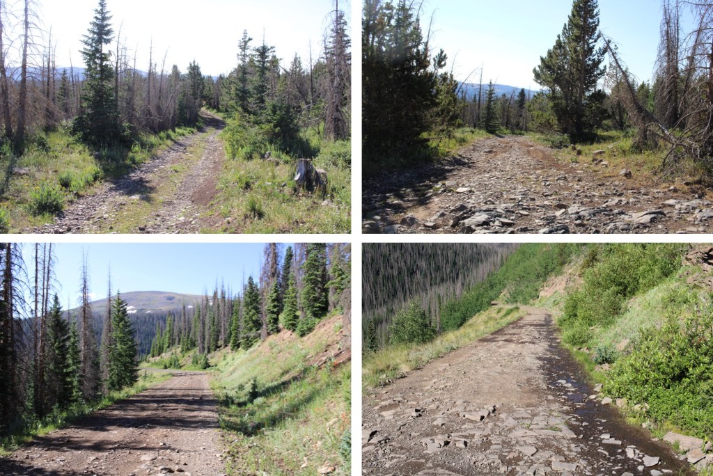
The road to the trailhead is easy 4WD. Here are some pictures of the more ‘difficult’ spots. Side note: on my way down a rancher had hauled a horse trailer up to the top, so it’s doable if you’re a good driver.

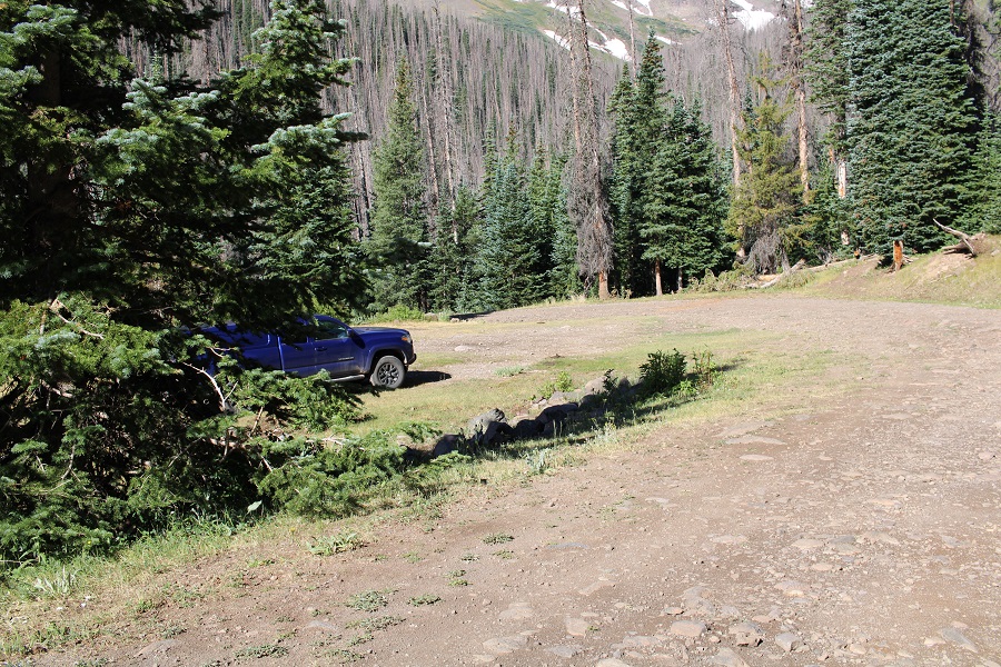
I parked about 1.5 miles below the Tobacco Lake Trailhead at the trailhead for 720 for a couple of reasons: I wanted the extra elevation gain, and the last time I was here there was snow on the road further up and this was where I’d parked. I really liked the size and location of the site at 11,180’.

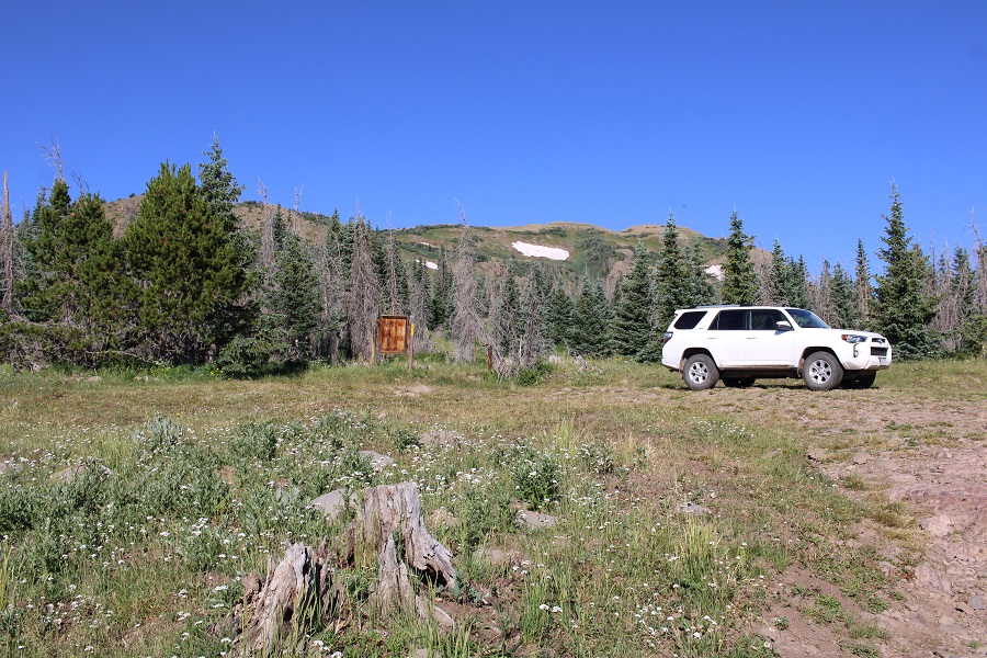
There are other sites to camp further up, near the actual trailhead.
I spent the night at the trailhead, had a buck stick his head inside the back of my topper to say hi, it rained, and I saw a pretty cool rainbow. I was on the trail at 5am, following the road up to the actual trailhead.
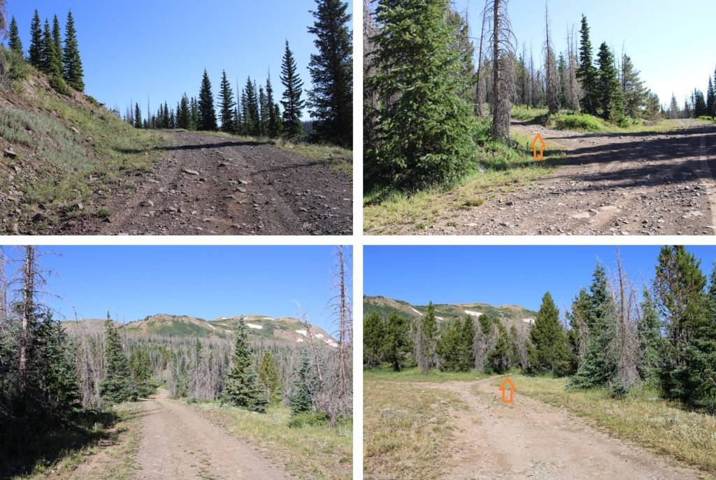
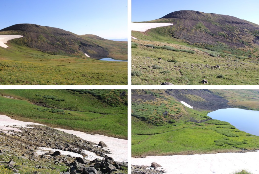
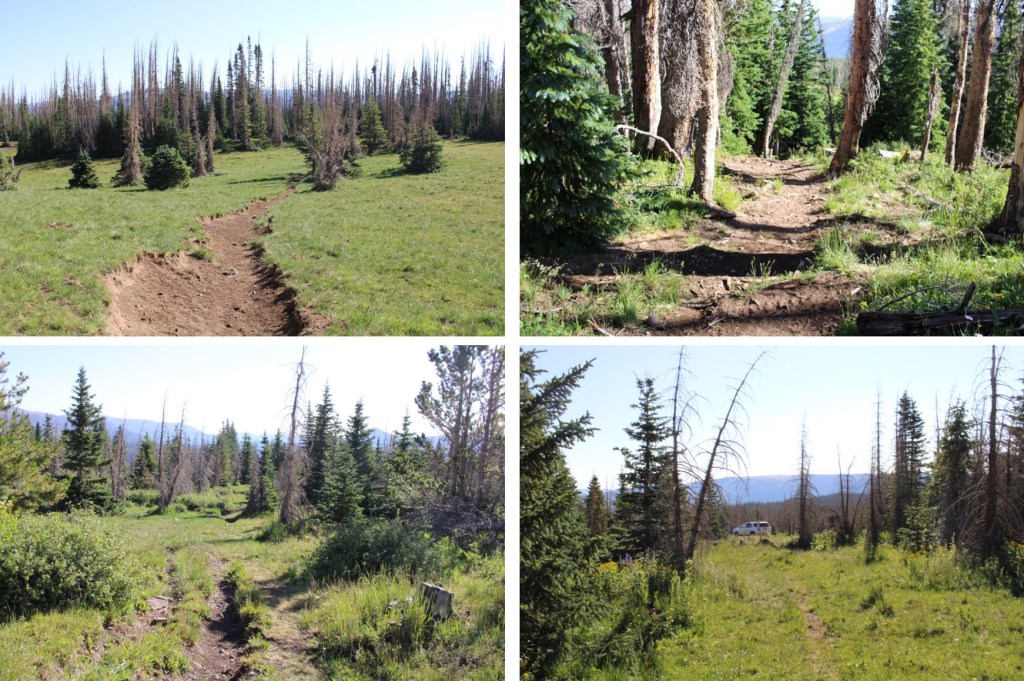
There was a register at the trailhead, which I signed, and I was on my way. The trail to Tobacco Lake is class 1 and easy to follow. The only issue I had was the smell: ranchers are grazing cattle in the area, and they all seem to have diarrhea. The trail was littered with it, and since it had just rained, it was still wet. Here are some pictures of the trail to Tobacco Lake. One thing to note: there are willows to navigate.

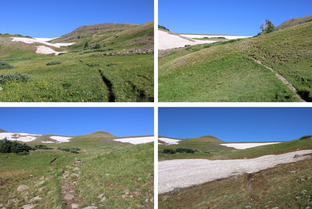
Tobacco Lake kind of sneaks up on you, and you can clearly see Conejos Peak from the lake.

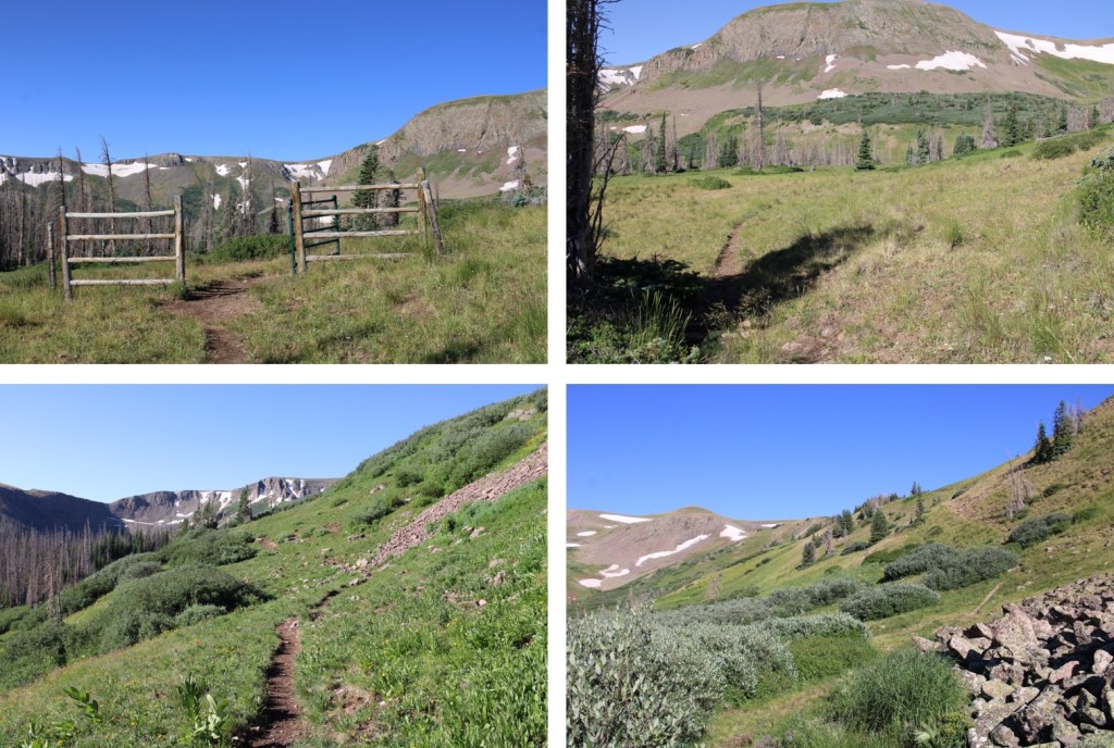
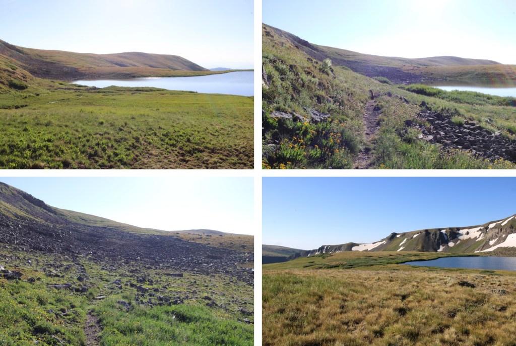
I skirted the north side of the lake, and came upon a rocky area. There was a big cairn here indicating the trail. I followed that trail west.

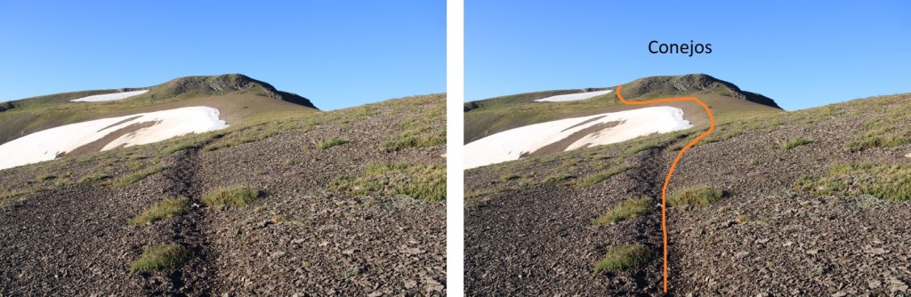
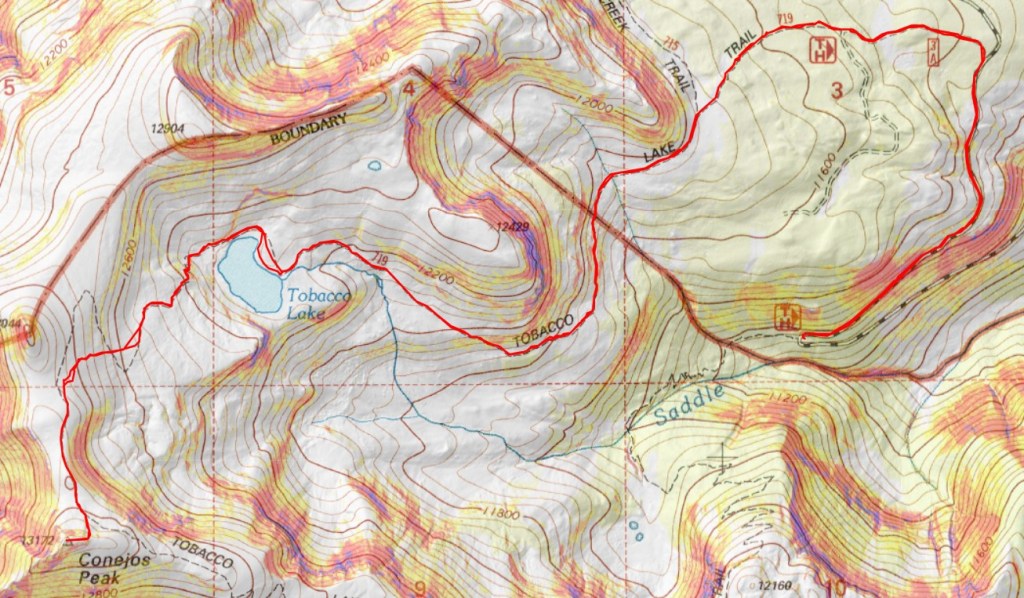
From here on out the trail goes from class 1, to class 2, to following game trails, but there are enough cairns to help you find your way. Here’s the overall route to the ridge:

And some step-by-step pictures. There are a lot of different ways to gain the ridge (I’m guessing due to melting conditions from winter), but the route is obvious in summer conditions. You’re aiming for the orange arrows.


Once on the ridge I turned left, and followed it south to the summit

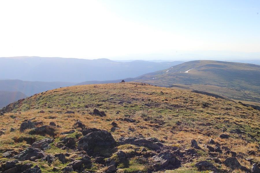
The summit is to the west of the trail

I summited Conejos Peak at 7:15am. There was excellent cell service, so I stayed up there for a bit and answered some emails.
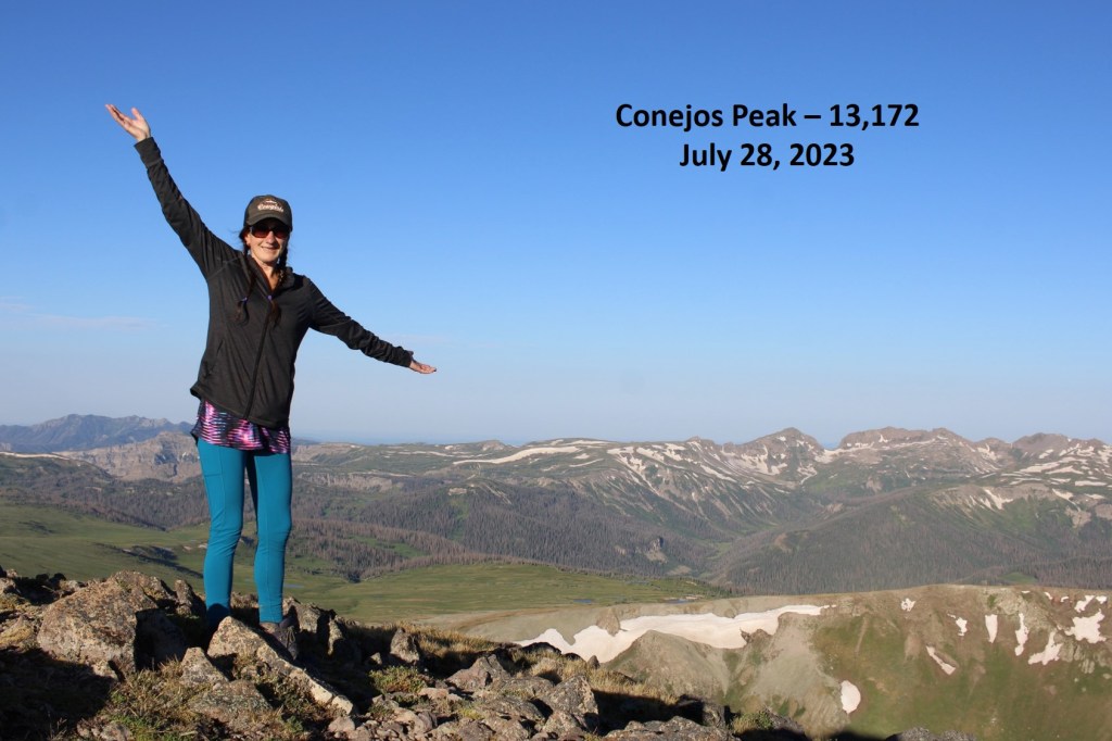
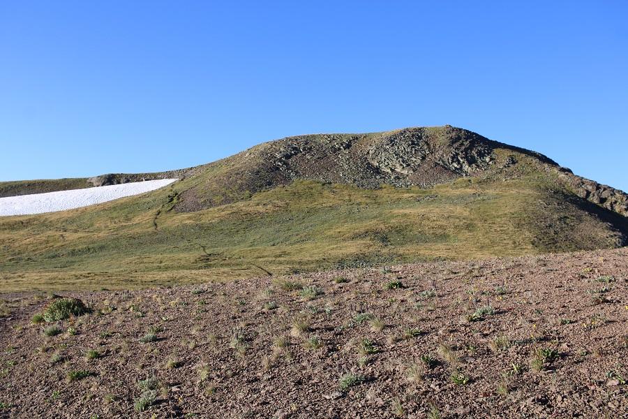
Conejos Peak:
Time to head back the way I came. I turned and headed east, back to the trail
Here’s my overall route back to the lake, following the ridge north, and then descending back into the basin by heading northeast


Once at the lake and the stream crossing, I turned left before the stream and followed the trail east back to the trailhead

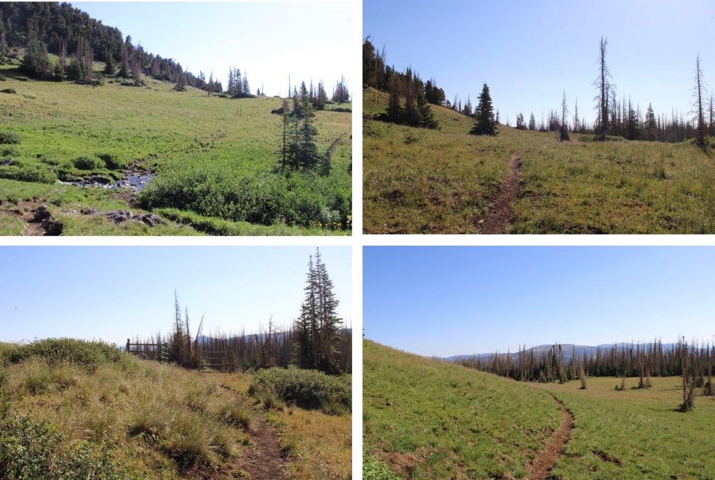
I signed out of the trail register, and followed the road back to my truck
I made it back to my truck at 9am, making this a 9.87 mile hike with 2183’ of elevation gain in 4 hours.
On to the next trailhead!

Do you have any photos of the maggots???
LikeLike
I didn’t think to take a picture of those, I was too busy cleaning them up as soon as I saw them. After boiling the head there were a ton in the water, but that got thrown out.
LikeLike
Thanks! I love reading your posts!
LikeLike