RT Length to City Reservoir: 7.5 miles
EG to City Reservoir: 1250’
City Reservoir is a good place to set up basecamp for several 13ers in the area, including Mount Valois, Amherst Mountain, Organ Mountain, Peak Twenty-Two and Sheep Mountain.
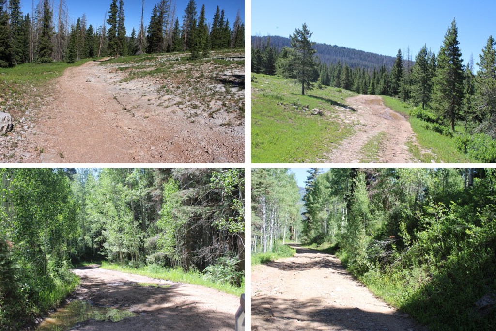
However, getting there can be kind of tricky, especially if you don’t have a 4WD vehicle. There’s a good place to park about 11 miles below the Endlich Mesa trailhead, just after the Florida Campground. The next 11 miles will be 4WD. Think a step up from South Colony Lakes trailhead. There were a lot of mudholes, even though it hadn’t rained in days, rock slabs to navigate, and rocks along the road. Here are a few pictures of the lower parking area and 11 mile long 4WD road:
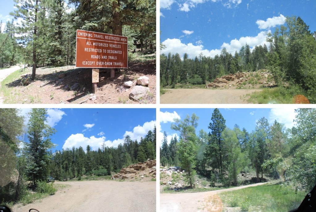


As you can see, two Ford Rangers made it to the trailhead.

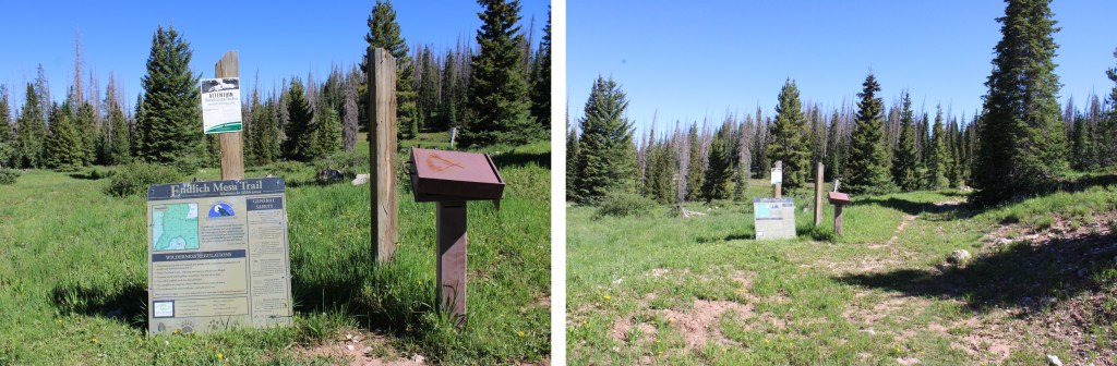
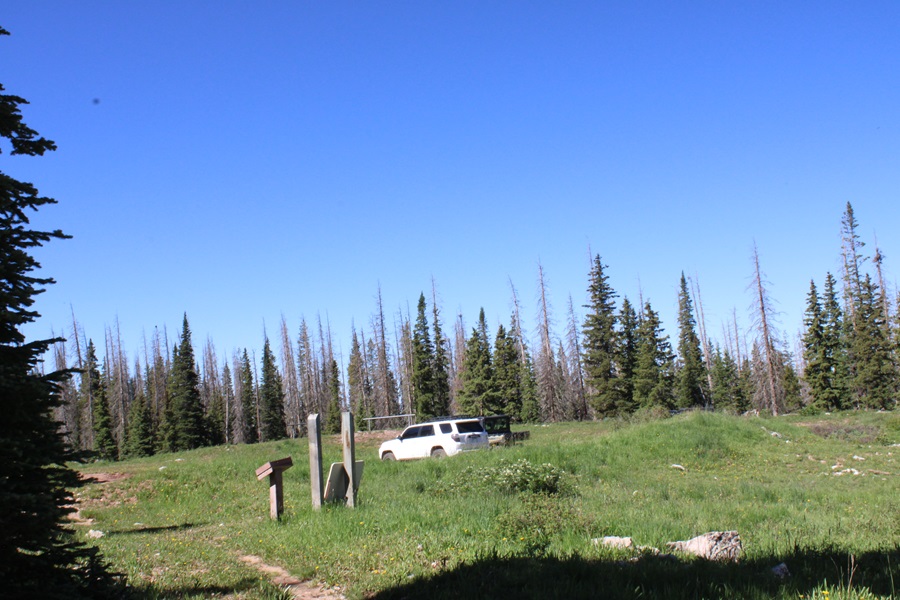
Endlich Mesa Trail starts at the northeast end of the parking area, is easy to identify, and has a trail register.
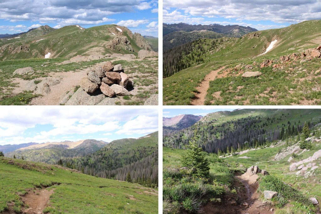
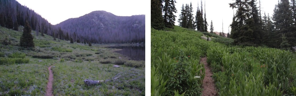
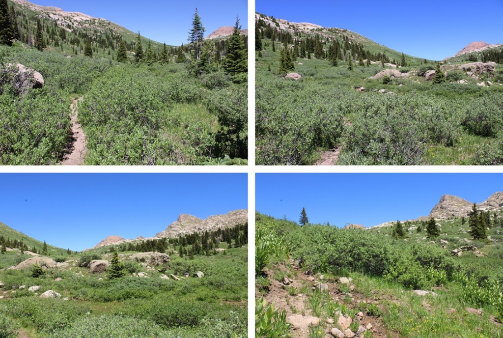
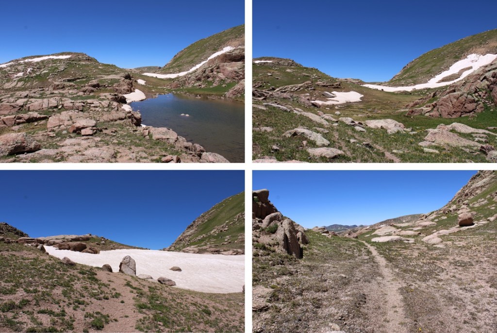
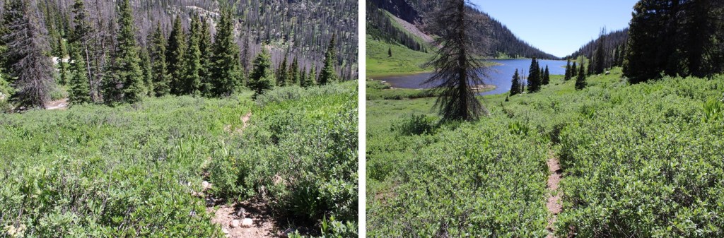
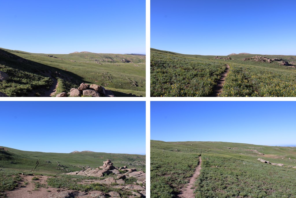
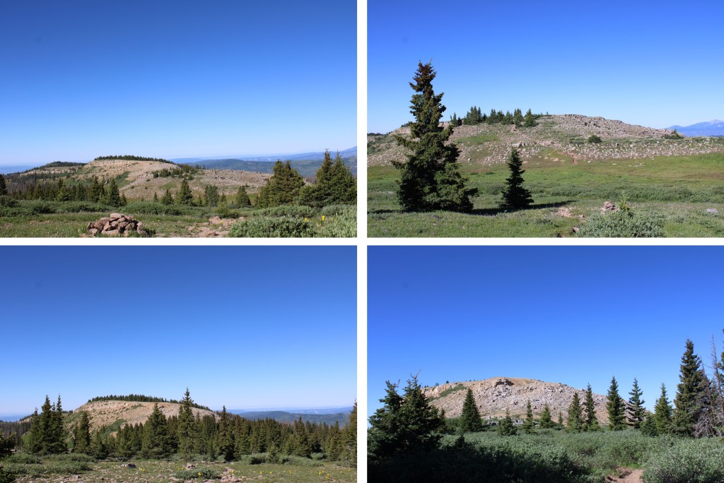
I started hiking north along this well established, class 1 trail. There are large cairns to guide the way. I followed Endlich Mesa Trail all the way to the reservoir. The trail started off gaining in elevation. I gained over 1100’ of elevation over 4.5 miles. First, starting in the trees, then hiking along the wide, open Endlich Mesa.

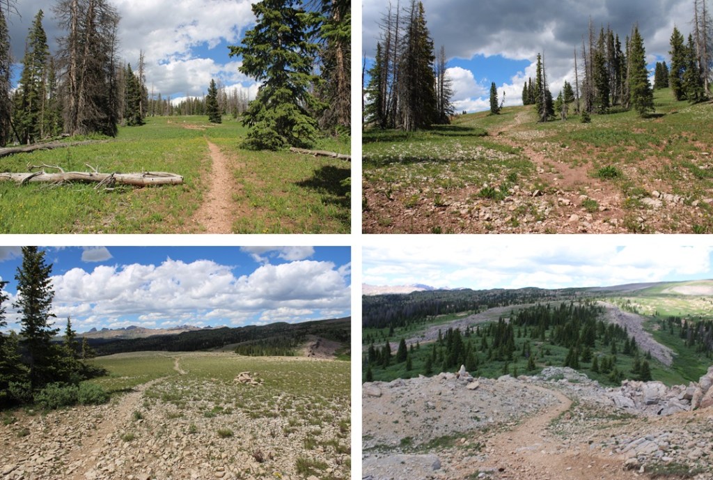

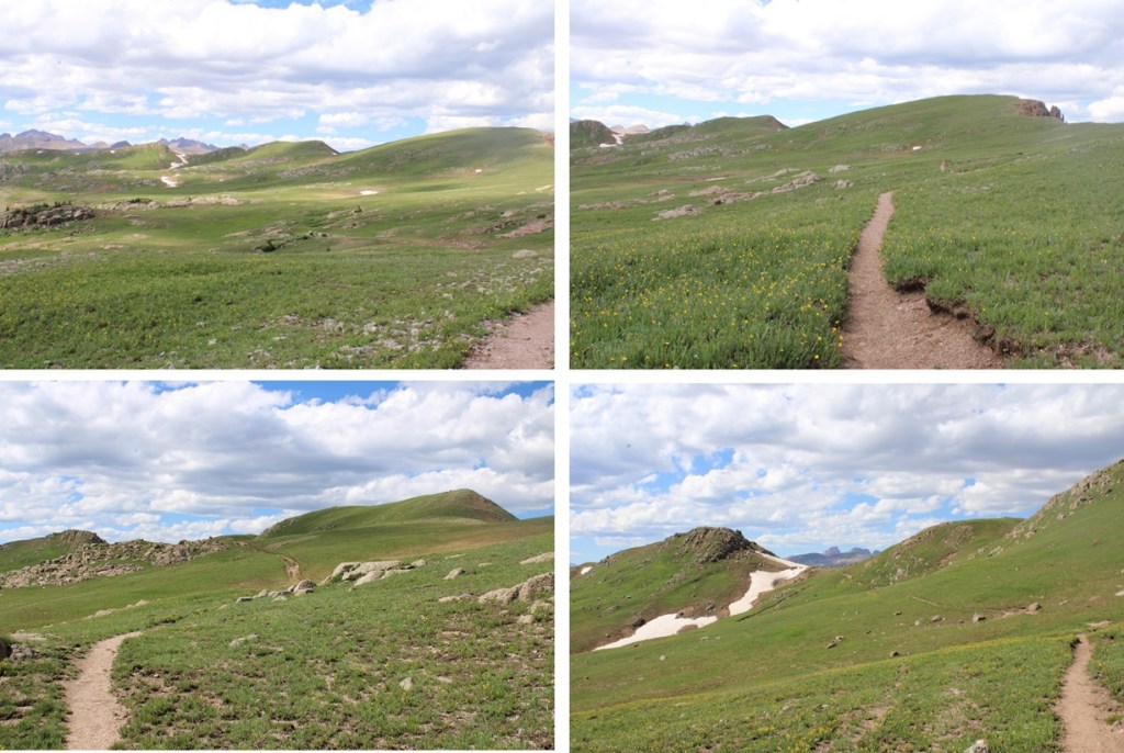
After hiking for 4.5 miles it’s time to lose 1350’ of elevation in 2.3 miles as I headed towards City Reservoir. I would head back down into treeline to get too the reservoir. (Spoiler alert: this is not fun to regain on the way back, and feels like way more than 1350’, especially with a full pack).
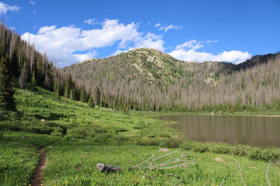
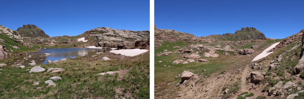
The west side of City Reservoir is where I made my basecamp.
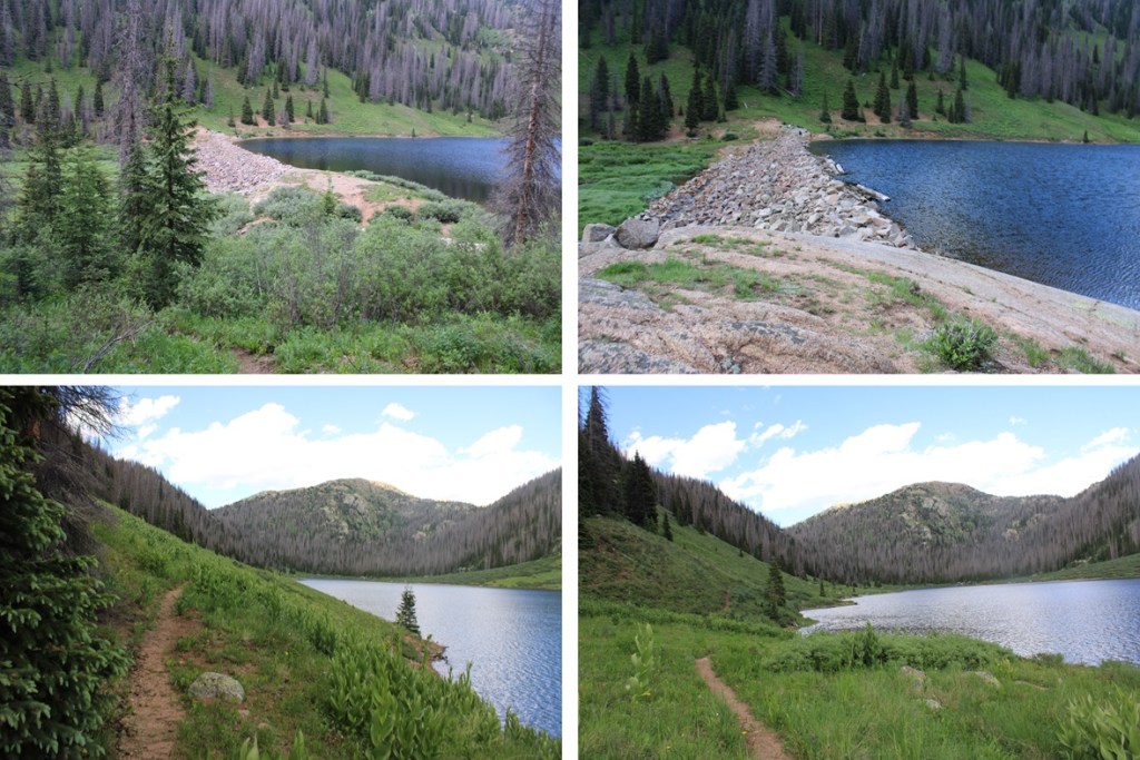
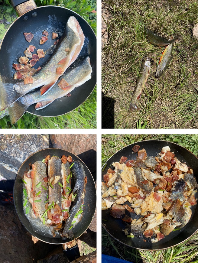
The fishing here was amazing! 3 casts and 3 fish later and I was cooking dinner. I stayed here for 3 nights, and had fish every night. In an hour I’d catch and release 30-40 fish. At this time campfires are allowed, but you need to camp at least 100 feet from the water. This was also a popular place to camp, and not everyone seemed to read the rules. There were two groups set up with at least 20 people, so campsites were limited, but luckily I got there first and secured a great spot with a waterfall directly in front of and another behind my campsite.
RT Length to Saddle from City Reservoir: 3.5 miles
EG to Saddle from City Reservoir: 2000’
The next morning, I had beta on how to get to the Emerson/Peak Twenty Two saddle, and I used it, and vowed to find a better way on the descent. I’m not sure my way is better, but it is more straightforward. I hope this information is helpful.
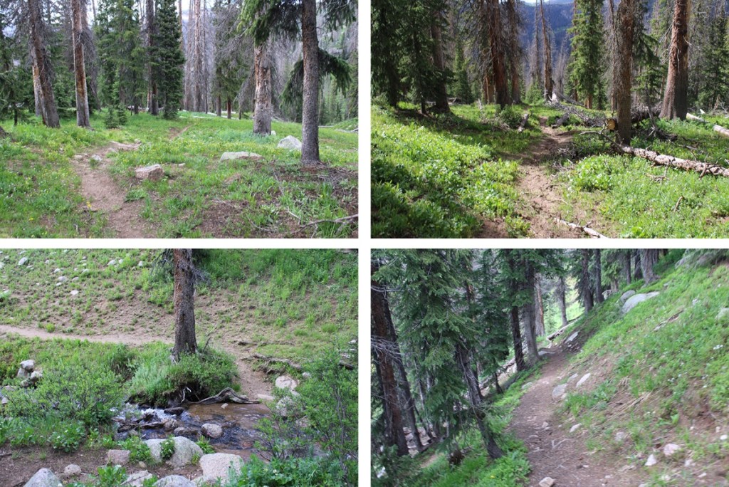
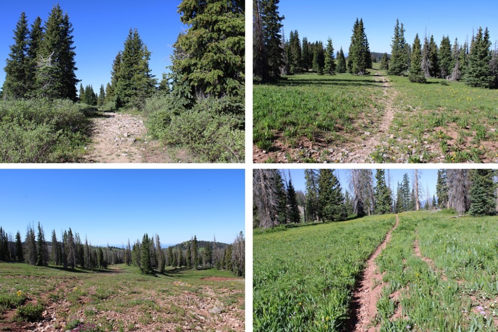
I spent the night near the reservoir, and was on the trail at 6am to head to the Emerson/Peak Twenty Two saddle. I continued following the Endlich Mesa Trail north towards Logtown (which isn’t really a town… there’s nothing there).
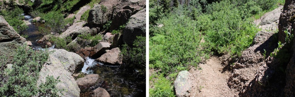
After hiking for about .9 miles I came to a waterfall, and crossed the creek just above the waterfall.
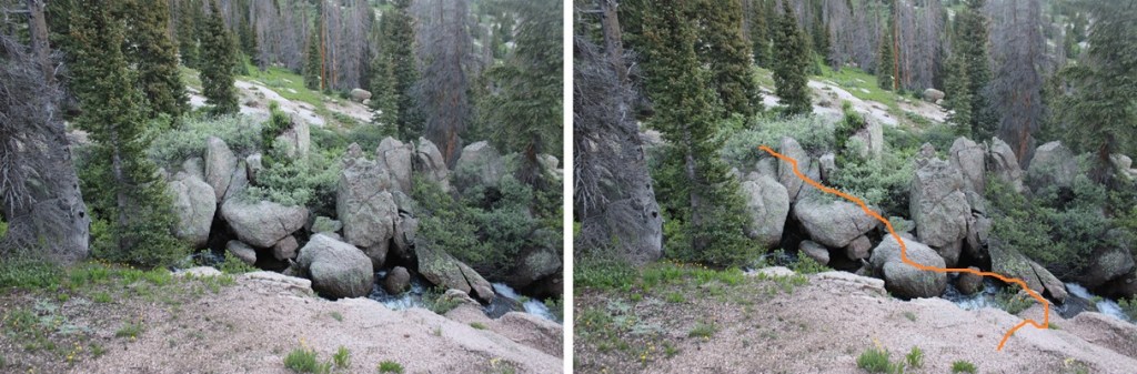
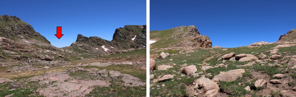
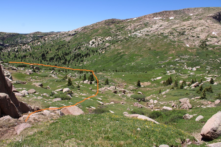
I found a large rock slab, and stayed to the right of it, heading northeast into the basin.
Once in the basin, I found a game trail not listed on maps to the left of the creek, that was very easy to follow.
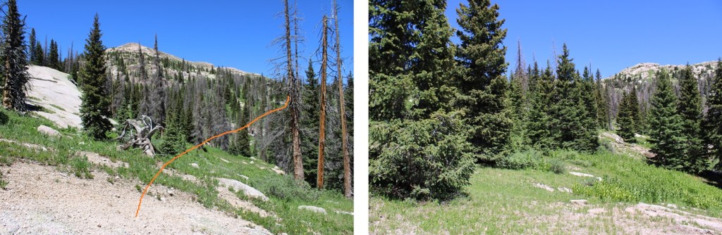
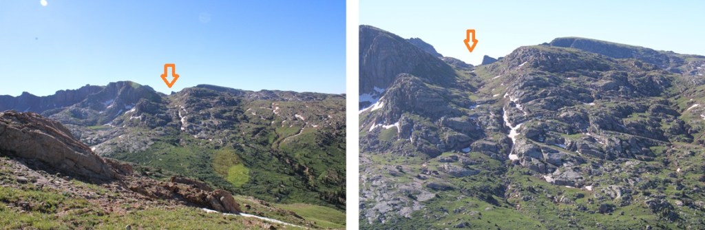
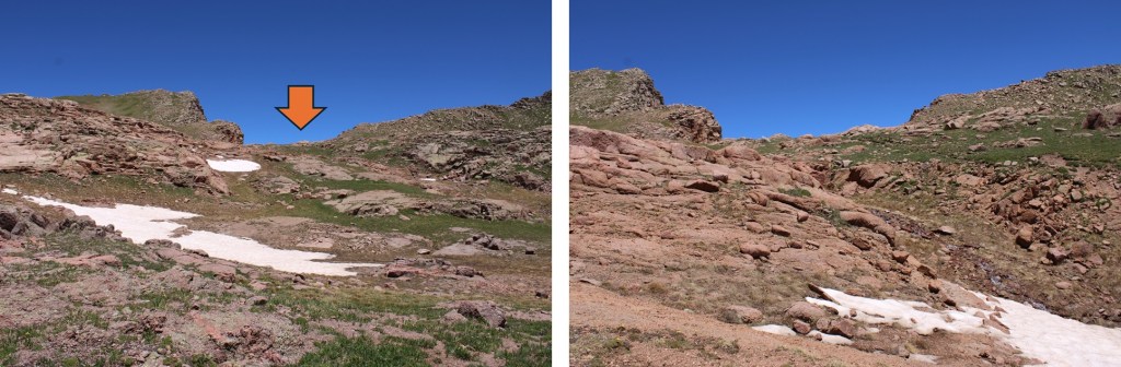
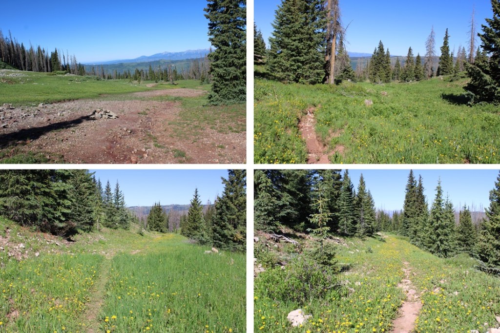
I followed this trail until I was parallel with a gully that ran between Emerson Mountain and PT 12843 to the east. I aimed for this gully, then climbed straight up it, eventually finding a game trail to follow east.

Here’s what that gully looks like from Mt Valois to the west
And some pictures of the upper basin and the gully
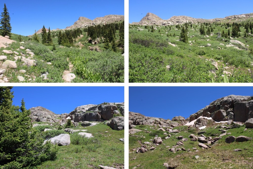

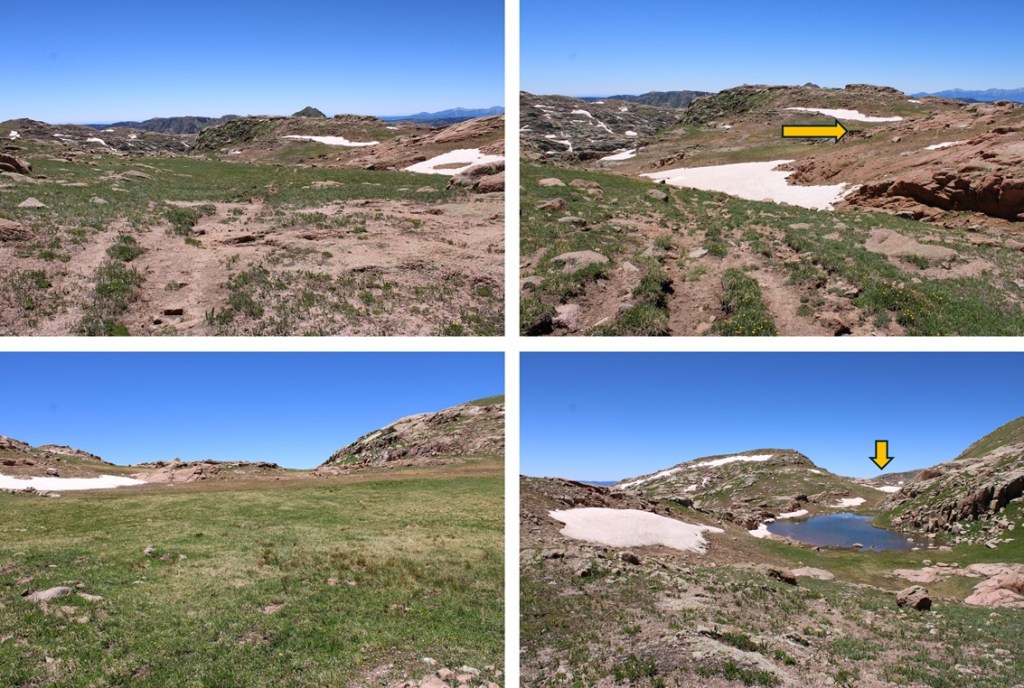
Now on a pretty established trail, I continued following it east
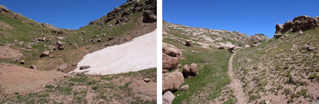
Past a small pond
Then left towards the Emerson/Peak Twenty Two saddle
I was now at the saddle of Emerson and Peak Twenty Two. From here I would summit Amherst Mountain, Organ Mountain, Peak Twenty Two, and Sheep Mountain.
And now for the return back to City Reservoir.
From the Emerson/Peak Twenty Two saddle, I headed west, staying to the left of the small lake.
I picked up the game trail
And followed it west back down the gully

From the base of the gully it was choose your own adventure to find the solid game trail on the other side that would lead me southwest down the gulch.
Once on the game trail, I followed it southwest to about 11600’
Once I could see the big boulder in the distance, I left the trail and headed towards it, following it to the creek and the creek crossing.

I crossed the creek, and followed the Endlich Mesa Trail back to City Reservoir.
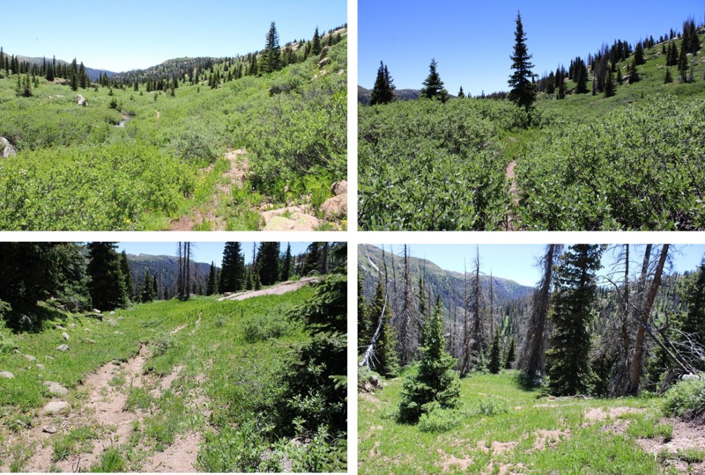
I stayed at the reservoir for a few days, hiking other peaks. Here are some pictures of the hike from City Reservoir back to Endlich Mesa Trailhead:
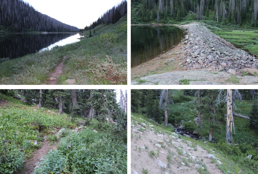
NOTE: you will gain 1600’ of elevation going from the City Reservoir back to the trailhead. The elevation gain begins as soon as you’ve crossed the reservoir.


Then it’s back across the mesa
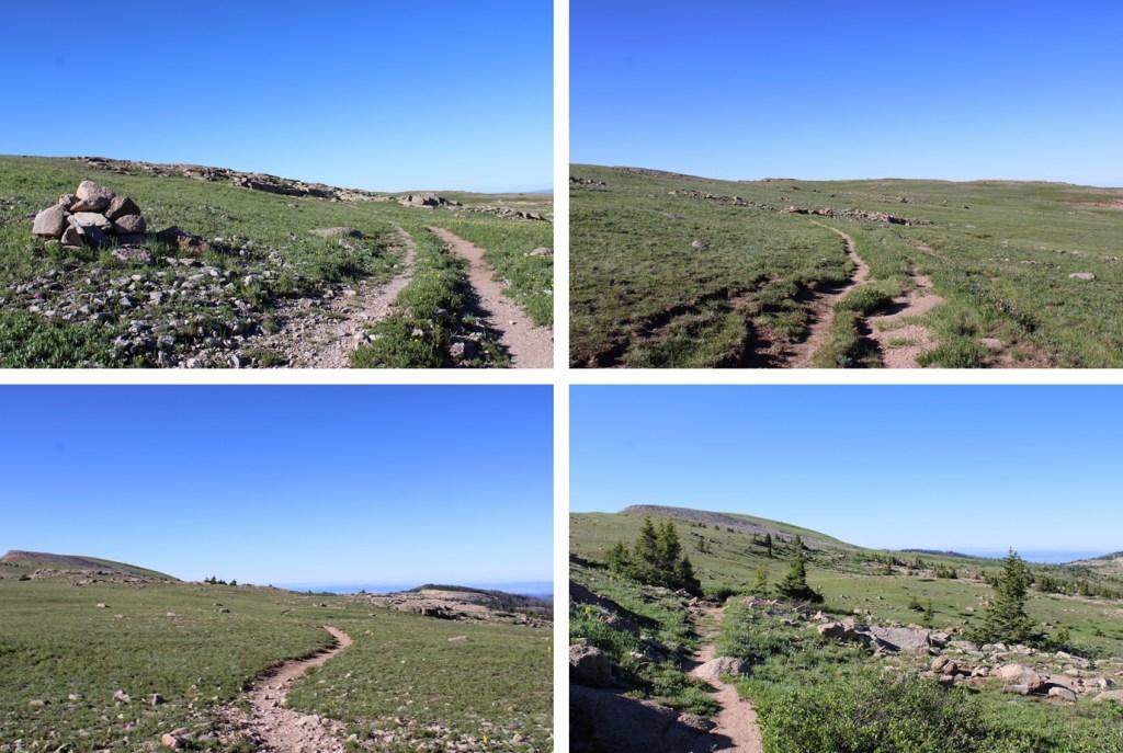
And then a little bit of uphill to get back into the trees.
Once in the trees, I continued following the Endlich Mesa Trail southeast back to the trailhead.
Here are some pictures of the 4WD road back towards Florida Campground.
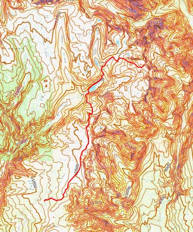
And topo maps of the route to the reservoir and to the saddle

Hello, I’ve been reading your trip reports for like five yrs now. Amazingly unlikely shot you managed with that mountain lion jumping across the road in front of your moving car. Regarding the fish photos and the catch stats you offer…I just thought that going forward you might consider that perhaps similar exceptional angling opportunities could be compromised by publicity. If that’s an 8” fry pan then those fish look to be pretty large brook trout, not many lakes producing so many fish of good size still exist and they are all remote. By coincidence when I saw your new post yesterday I had spent much of the day going over maps of the Weminuche Wilderness and Endlich Mesa area noticing that, according to the NAT GEO maps, there were as many as 75 small lakes on the Mesa plus City Res, Marie, Castilleja, Lillie, and a few others larger lakes. Not that the land itself and it’s wildlife are invulnerable, but the fish populations are exceptionally vulnerable and there are lots of people ( not all of them Texans) who are meat hunters, stats like those in your story will pull those folks in and when they leave there will be few fish left, it could be years before decent size trout are available again. Each person you tell will undoubtedly tell at least two others and so on. My new Tenkara rod is now going to be a component in my mtn activities package, plus perhaps the UL spinning rod for lakes. I’ve still got 30 cents left (slow goin cause I’m a rock climber primarily) and it’s all Juan’s and Elks left to do but I’m looking back recently on all the previous peaks, not to mention the PCT thru-hike in 2003 and I realize that I missed so much always moving too fast, trout, butterflies, birds, etc. It’s always the Seal Team Six tactical assault, quantity over quality, times, weights, calories, elevation gains. I’d say share EVERYTHING cept the fishing, or at least be vague if you feel compelled to say something….”yea did a little fishing, there’s a few small brookies” leave it at that, then in the future if you want to go back you can still rely on those trout to save carrying all that protein in your pack.
LikeLike
Thanks for the comment! Because of the reasons you listed, I don’t usually post information on the fishing I experience, but did so this time because the area is so remote and difficult to get to. I can’t see many long distance hikers with a capable vehicle/driver making it all the way out there, then taking a ton of fish and hiking them back out (the hike out is BRUTAL). But I did want backpackers to know they don’t need to carry as much weight, because the fishing is good. I’ll keep your comments in mind in the future 🙂 Good luck with your peaks!
LikeLike
Hey wow that’s a super fast response time. Thing I gleaned from your report was that you found two groups of twenty people at City Reservoir …I immediately thought “how many fish can forty mid-westerners fry over the course of a week long stay?” Say four trout/day x 40 x 7. Basically in the ball park of 1000 fish! And that’s only dinners. It’s disconcerting and unexpected to hear of such large groups going into a location that requires a lot of work, perhaps they hired a guide to pack the gear in using horses. Authors I’ve been reading recently, to educate myself about backcountry fishing, all seem to agree that if there is a trail to your destination lake this is less than optimal and I should whenever possible try to find remote lakes that require difficult cross country travel and then only pass on any info to close family or friends, that the “secret lake” is to be handled as if it is the equivalent of a family heirloom. These serious alpine fly fishing folk sure do a serious amount of research to avoid wasting time too. Seems considerably more involved than what we do when just climbing peaks. Everything we do plus all that biology to boot.
LikeLike