RT Length: 11.06 miles
Elevation Gain: 4041’
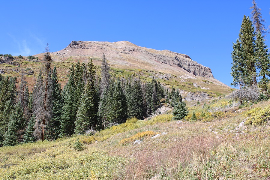
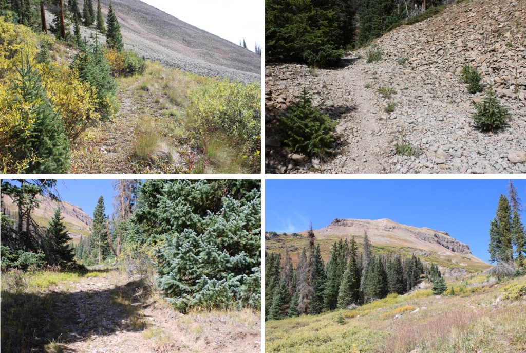
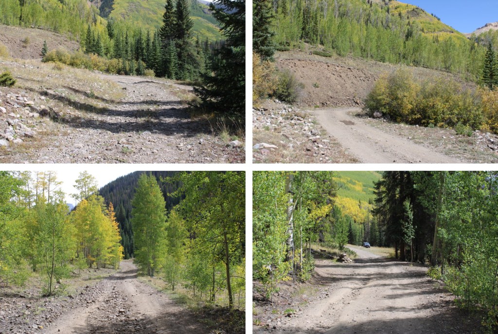
I parked just after the Matterhorn Creek Trailhead because there was a good dispersed camping spot there and it was a good place to stage for the weekend of hikes I had planned. This road requires 4WD. I was up and on the trail at 6am. I followed 4WD dirt road 24 west for .75 miles.
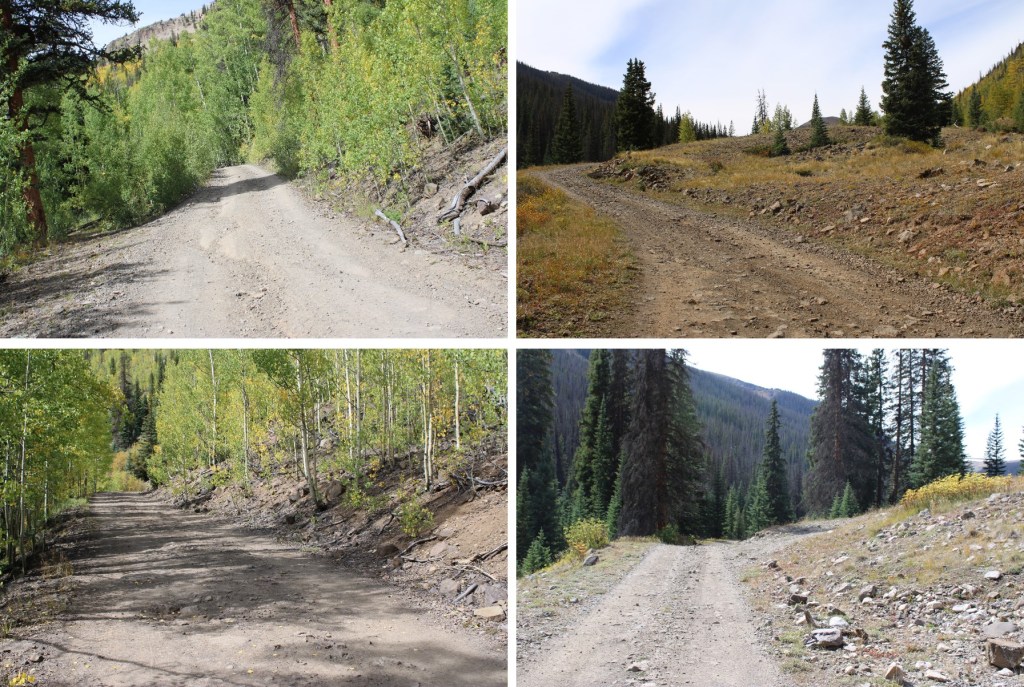
At the very first spur road I came to on the right I took it, and it took me a short ways to the actual trailhead, the Wetterhorn Basin Trail 226. There are plenty of places to disperse camp here as well.

I followed the road to the right if given the option (all the other areas are camping spots).

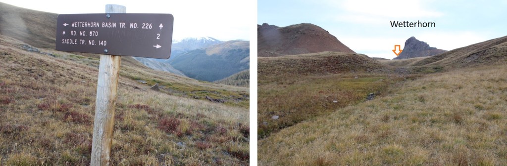
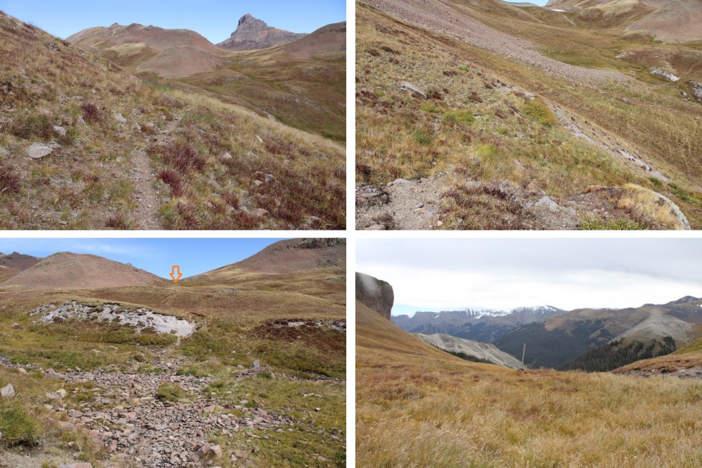
By continuing to follow the road I eventually came to the trailhead sign
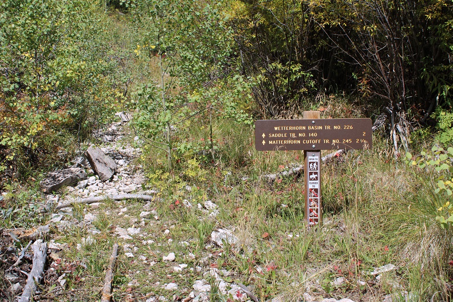
While the sign looks new (and indeed, all signs I followed looked new), the trail was overgrown. It looks like at one time it was a road, but it hasn’t been for decades. I went through downed trees, brush, and willows as I followed the trail.

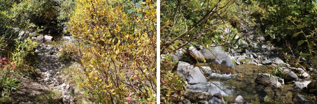
I crossed Mary Alice Creek, and would now stay on the right side of the creek to treeline.
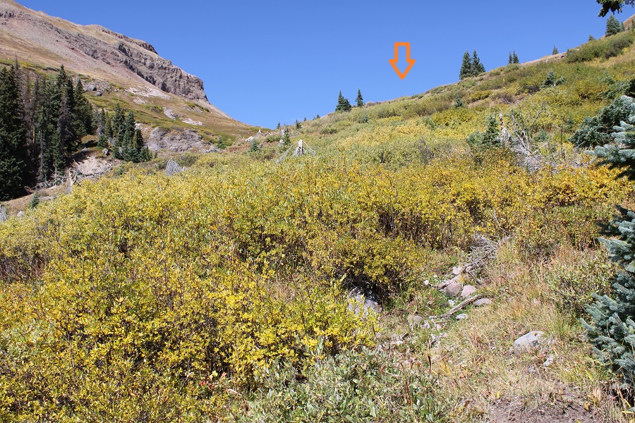
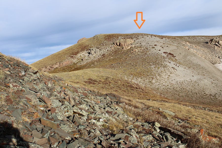
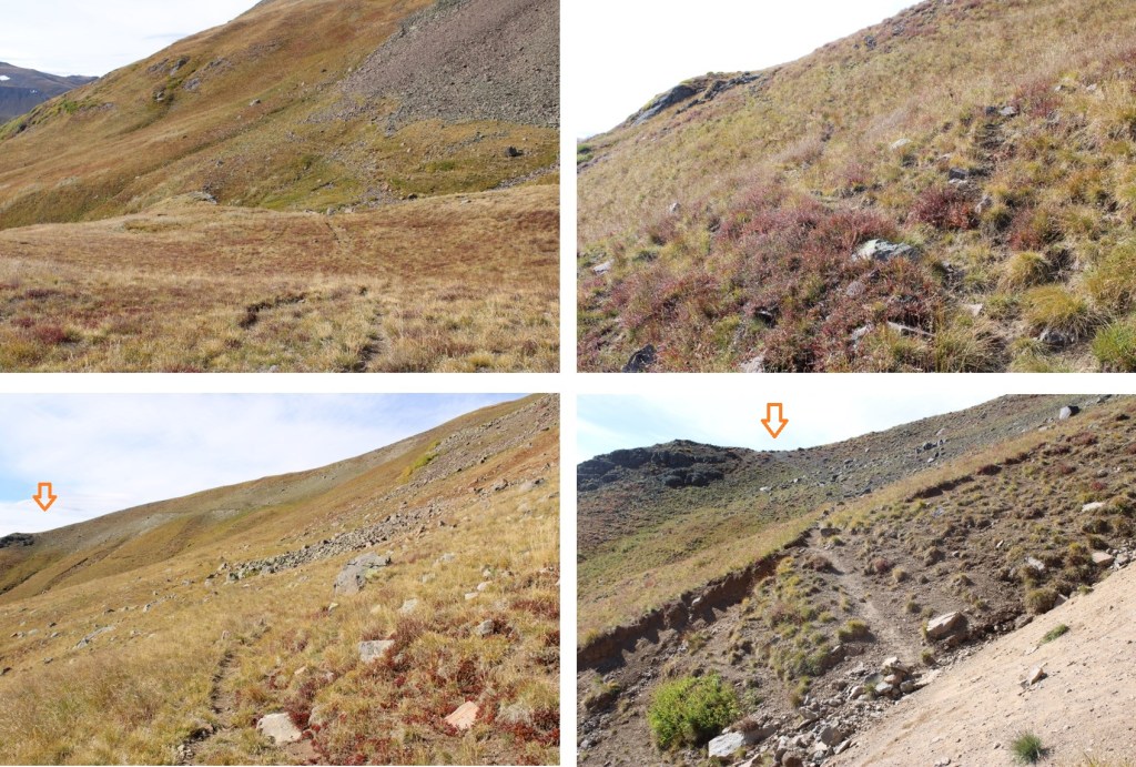
At 11700’, the ‘road’ started switchbacking the opposite direction, and I started bushwhacking through the willows. There were game trails through the willows. The main goal is to stay to the right of the creek. I was headed here:
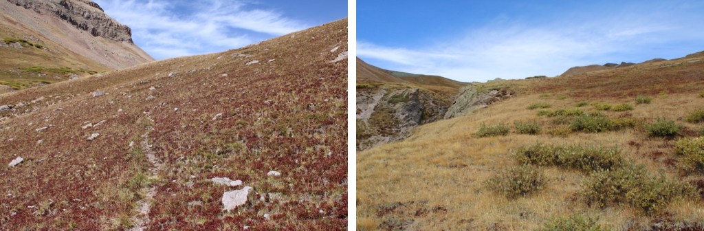
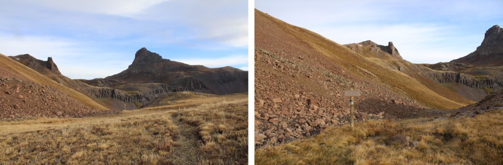
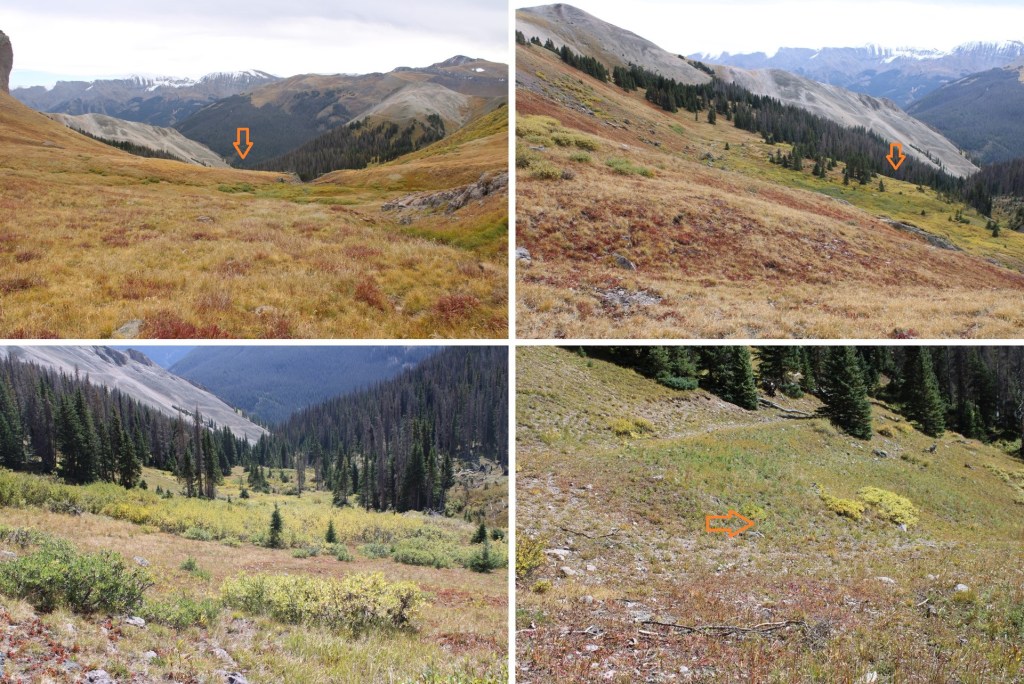
Now above treeline, I continued heading northwest, sticking to the right side of the creek. This was my next goal:

I could see a pole in the distance, and headed towards it
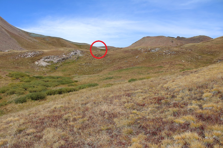
Once at the pole, I could see a trail sign straight ahead of me, and headed towards the sign

The sign indicated there were trails going several different directions, but the trails were very faint. I continued following the Wetterhorn Basin Trail to the right, as it headed northeast.
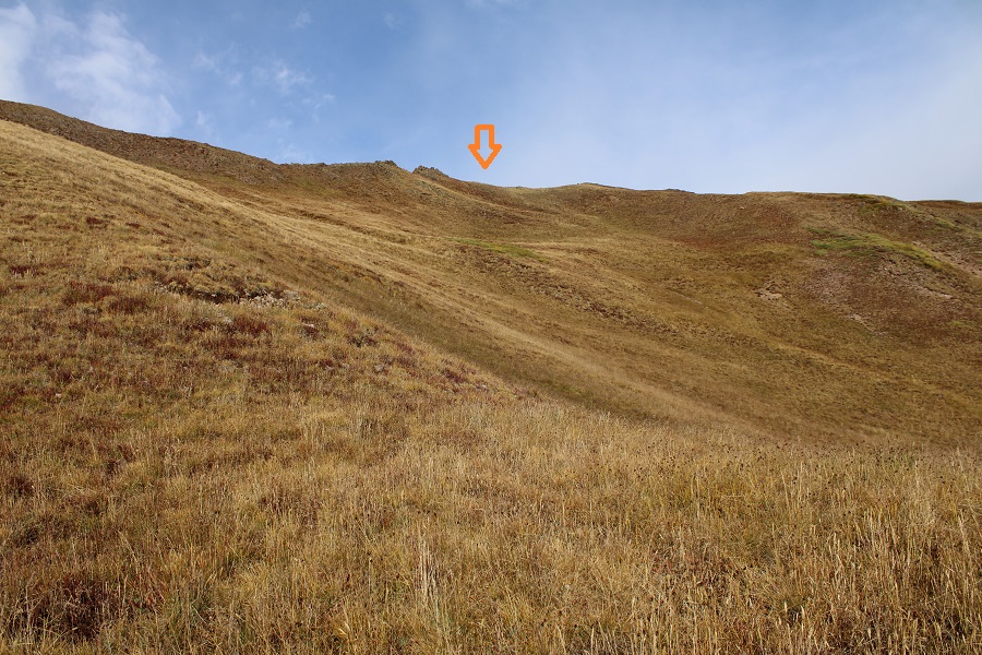
I quickly came to another sign, that directed me to descend into Wetterhorn Basin. Initially I did, but as soon as I could turn left onto the tundra I did and followed tundra to the ridge, heading northwest.

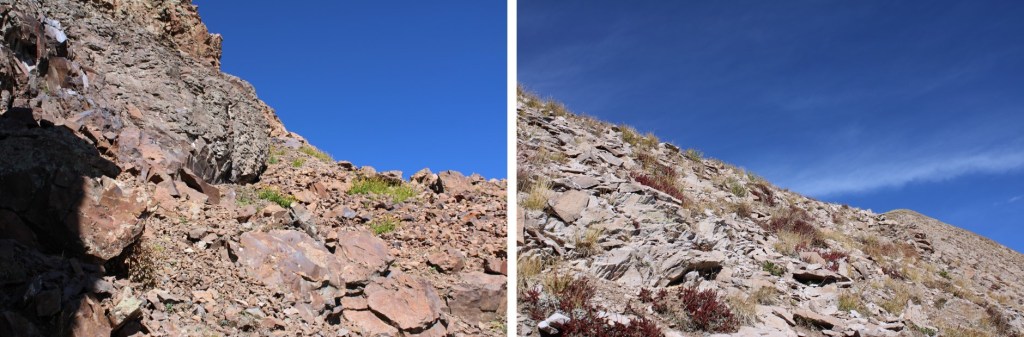
I stayed below the ridge, aiming for this low point, staying on the tundra and below the rocks. This was all class 2.
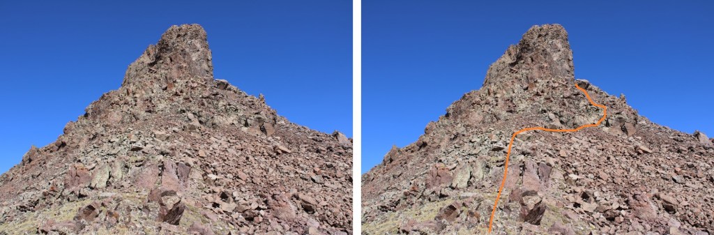
I stayed to the right of this rock formation, aiming for the ridge
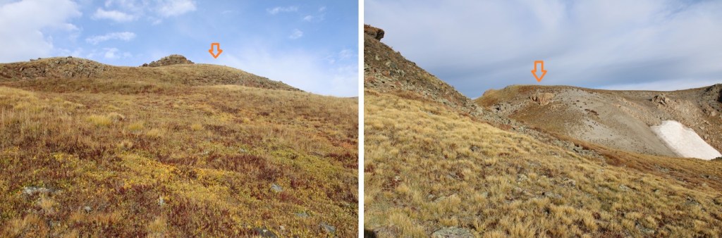
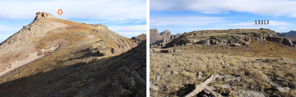
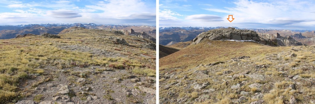
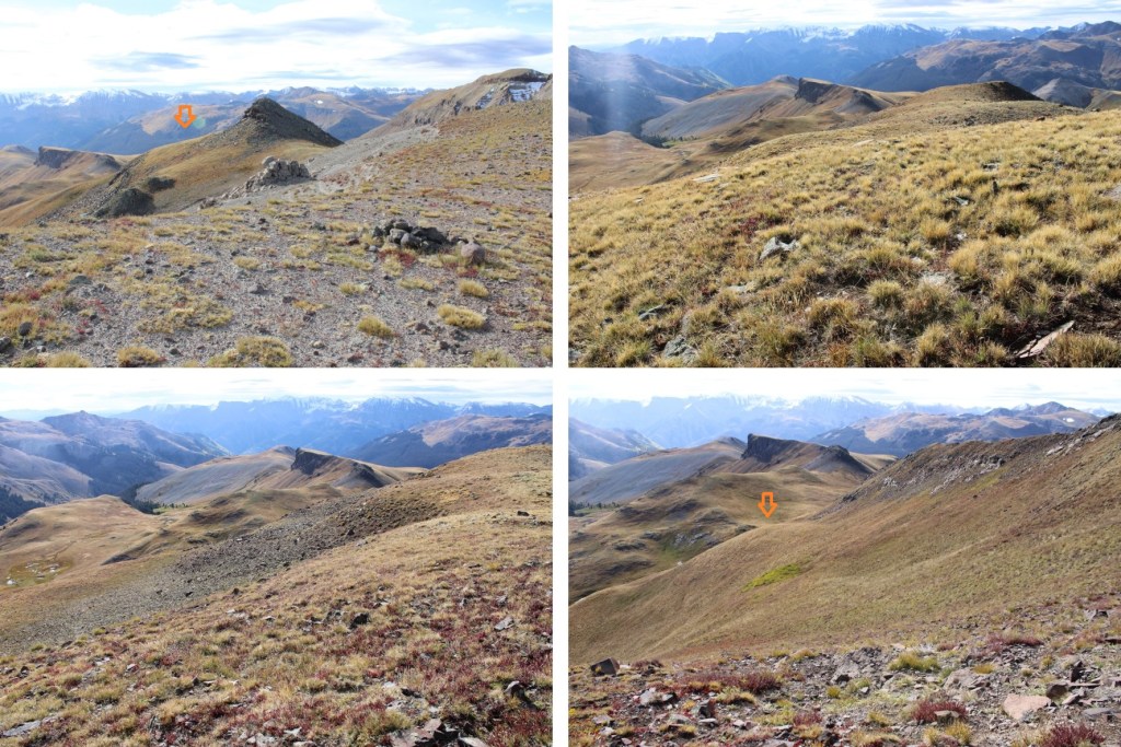
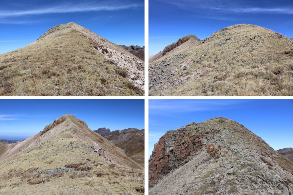
Once on the ridge I followed it north. The actual summit is hidden here. This is a class 2 ridge hike, mostly on tundra, with a few false summits along the way.

Here are some pictures of the ridge

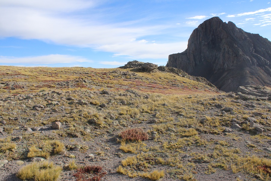
The actual summit was quite flat, but there was a cairn indicating the summit. I walked all around, just to be sure that was the actual highpoint, and it seemed to be. There was a summit register.
I summited PT 13313 at 8:45am
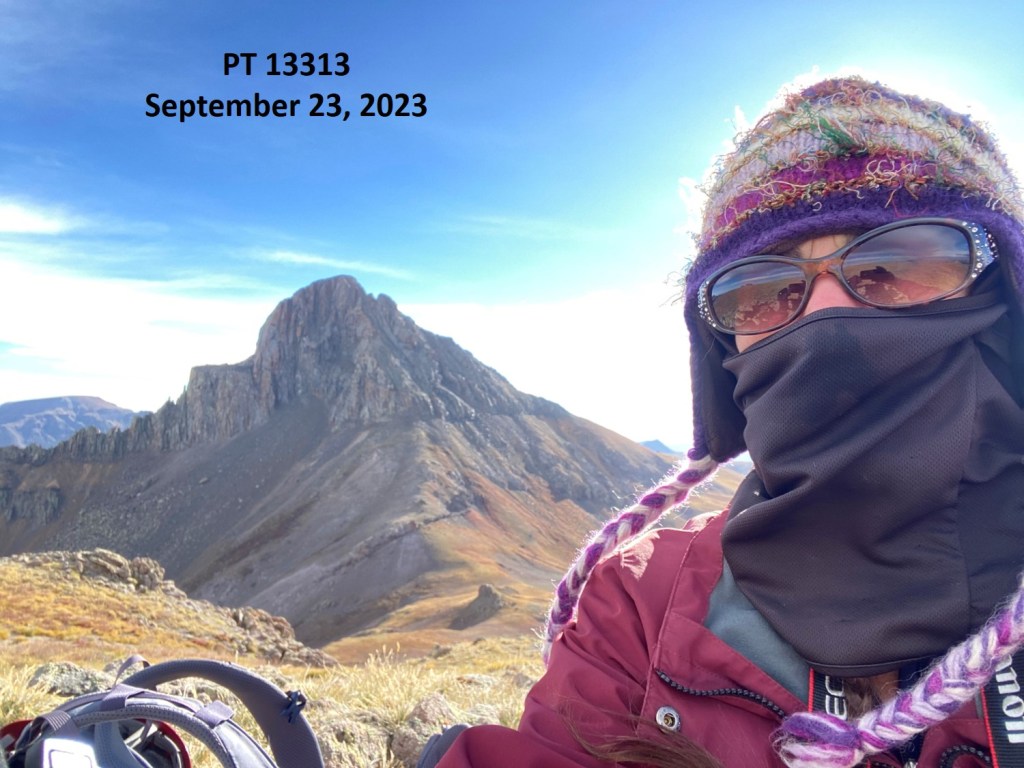
PT 13313:
I made my way back the way I’d come, taking a few minutes to ‘summit’ this point along the way because it looked like fun

Here’s an overall view of my route back to the junction. I descended the same way I ascended.


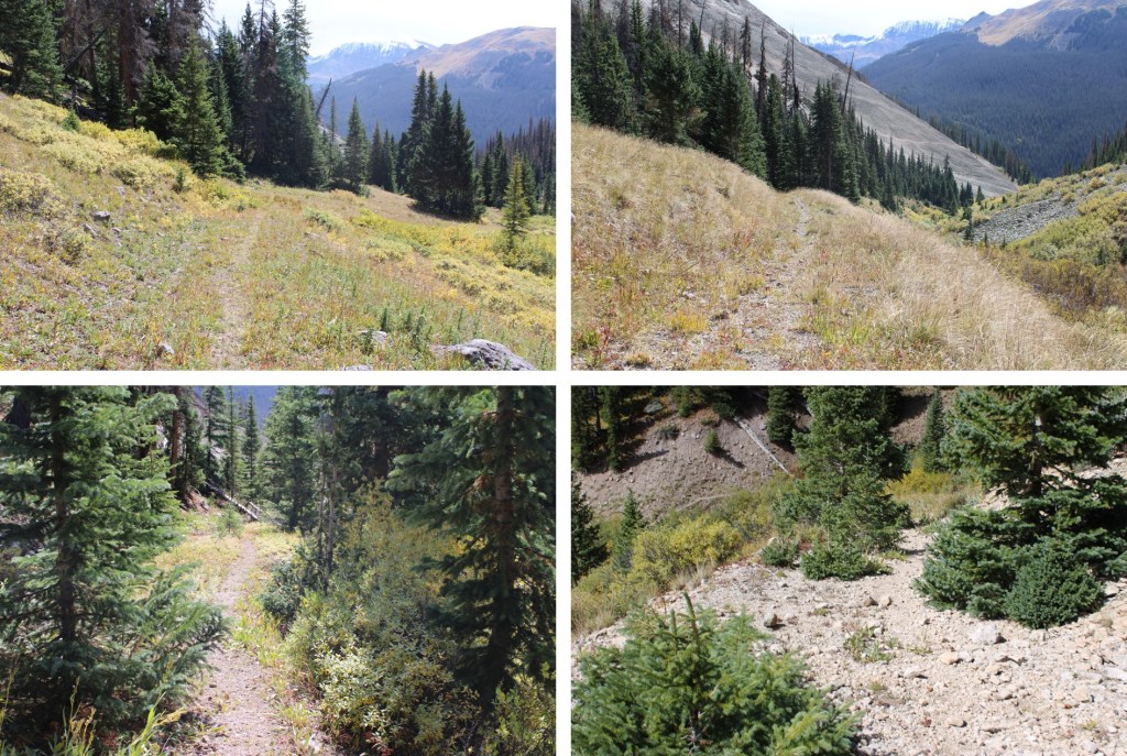
I made my way back to the trail, and followed it back to the junction

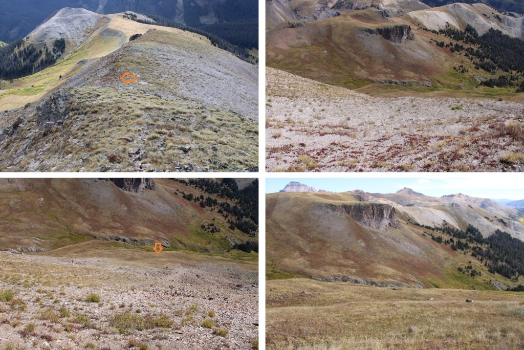
This time, instead of taking the Wetterhorn Trail back down to the trailhead, I followed the Saddle Trail south. This was a much better trail, and took me to the saddle of PT 13207 and 12979.
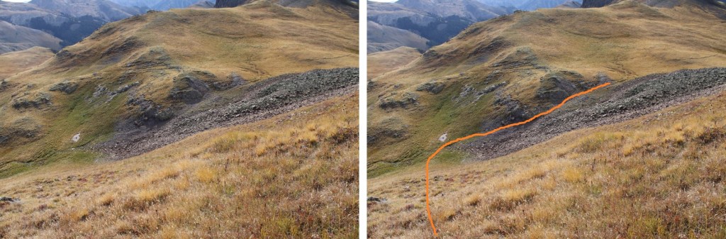
Once at the saddle, I turned right and headed northwest on tundra, towards this rock formation

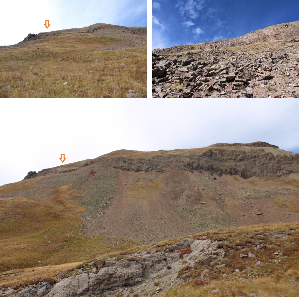
Getting around the rocks was class 2+. It looks more difficult than it is, but it’s full of loose rocks and scree. Here’s the overall route I took:
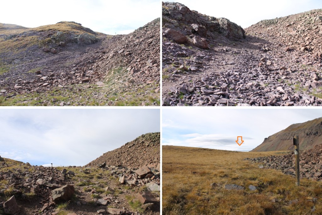
This is choose your own adventure, but if you feel you’re in class 3 terrain you’re making it too hard. I skirted the rock to the right, but hugged the side of the rock as well.

It’s obvious when it’s time to ascend. I then followed the ridge to the summit, with a couple of false summits along the way. All class 2
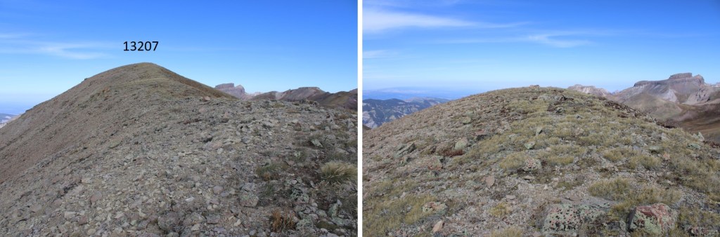
I summited PR 13207 at 11am
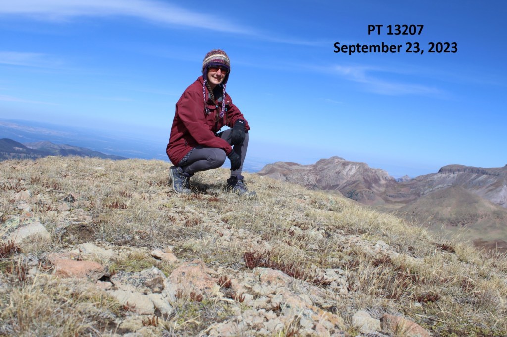
PT 13207:
For the descent, I made my way back down the ridge, but wasn’t interested in downclimbing the rocky section.

Just before the rocky section, I turned left, and descended back to the Saddle Trail down talus and tundra. This was class2, and I could clearly see the trail below.
From the bottom, it looks more difficult than it is
Back on the trail, I followed it to the Wetterhorn Basin Trail/Saddle Trail Junction
And then turned right and headed southeast down the basin until I could find the Wetterhorn Basin Trail
I followed the trail back to the 4WD road
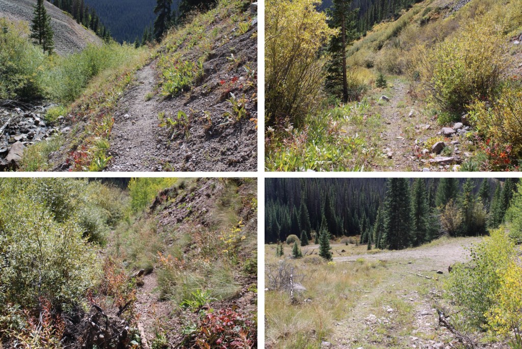
And followed the road back to my campsite.
I made it back to my truck at 12:30pm, making this an 11.06 mile hike with 4041’ of elevation gain in 6.5 hours.

On to the next trailhead!
