RT Length: 11.82 miles
Elevation Gain: 3452’
I parked about 3 miles past Cottonwood Lake, in a small parking area where 344 and 348 intersect.
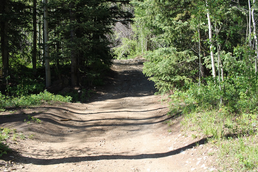
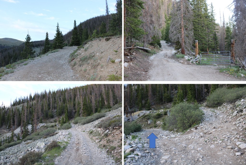
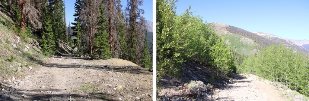
I was on the trail at 4:30am, following 348 south. There is a lot of dispersed camping in this area.
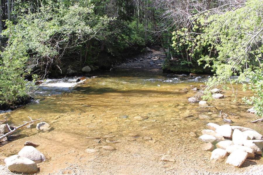
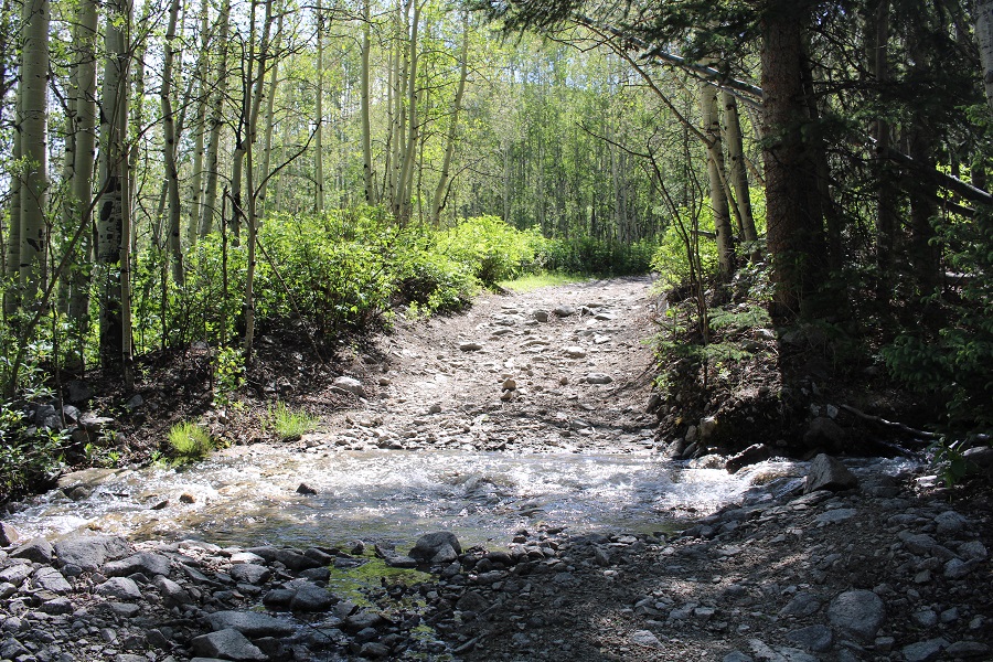
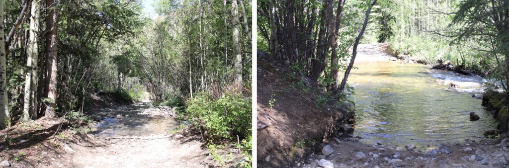
Almost immediately I came to Cottonwood Creek, which I was going to have to cross. I put on my creek crossing shoes and rolled up my pants to my thighs. My pants still got wet on the crossing, as the water was high.
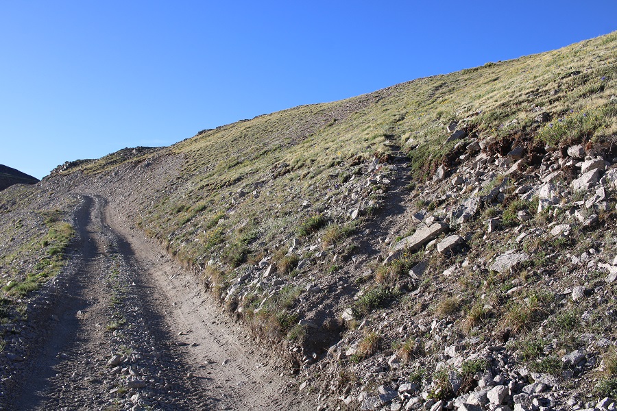
Safely on the other side, I put my hiking shoes back on, and continued to follow the 4WD road as it switchbacked up the side of the mountain. There was one more (small) creek crossing, about half a mile away from Cottonwood Creek
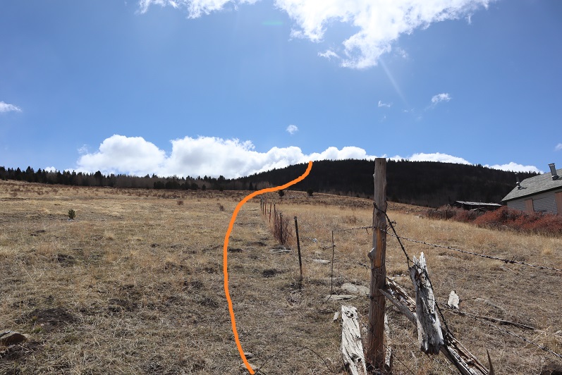
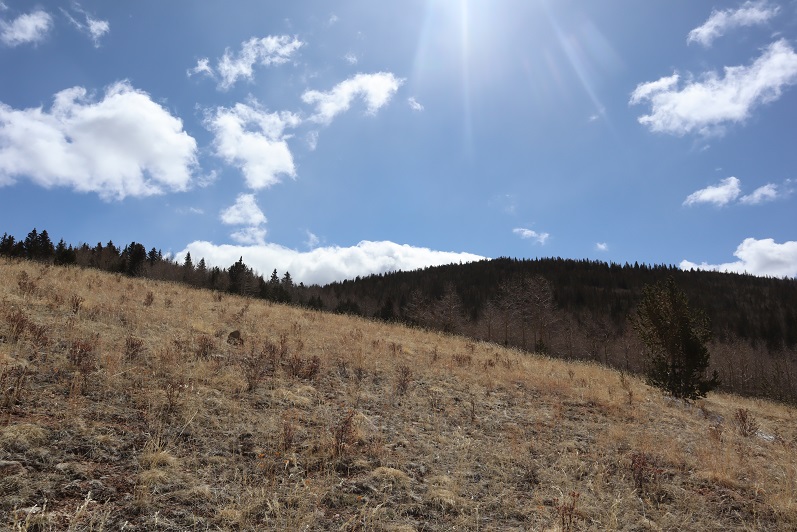
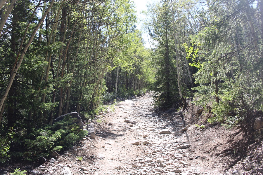
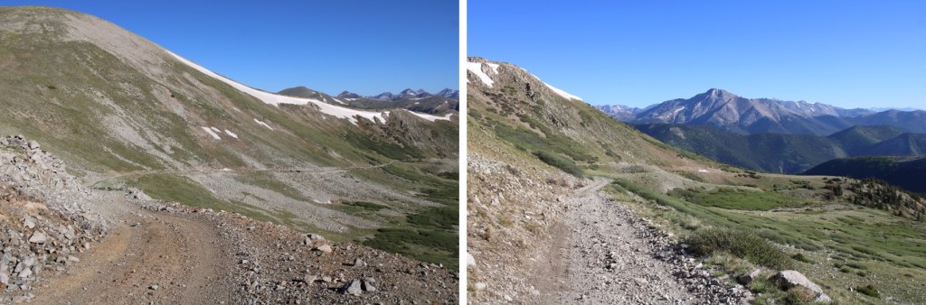
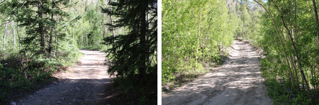
I followed 348 all the way to treeline, for 5 miles
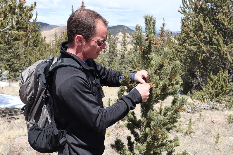
Someone had a rough night… blood and what looked like fur from an ungulate.

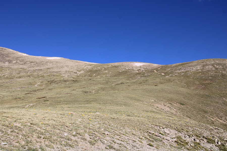
It was easy to follow the road all the way to the saddle
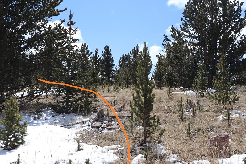
Just before the saddle I saw a game trail, and took it to the saddle instead, since it looked like a shortcut (it was)
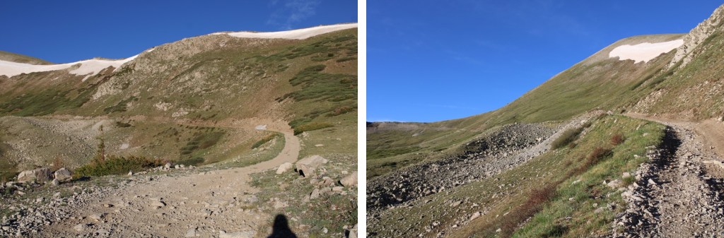
Once on the saddle, I could see another trail that led to the ridge

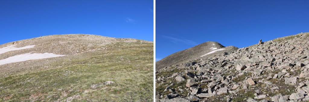
I followed the trail to the ridge, where it abruptly stopped

I then turned and followed the ridge southwest. The terrain changed from tundra to class 2 rock hopping, but was very straightforward.
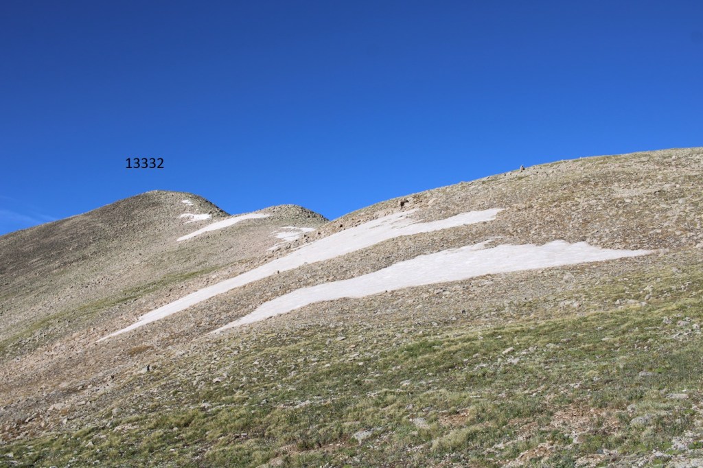
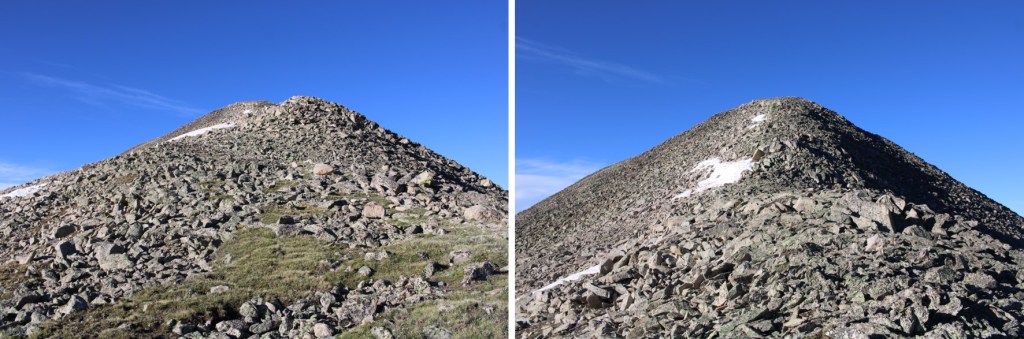
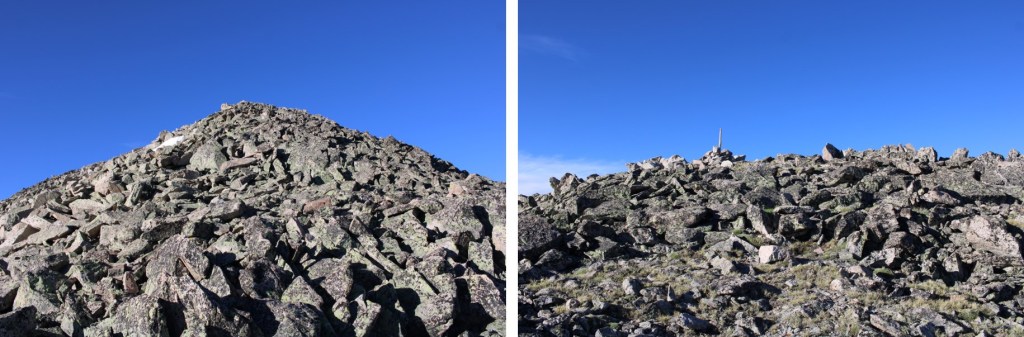
I summited PT 13332 at 7:30am

13332:
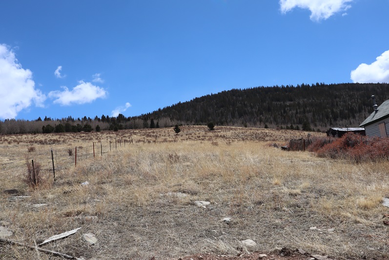
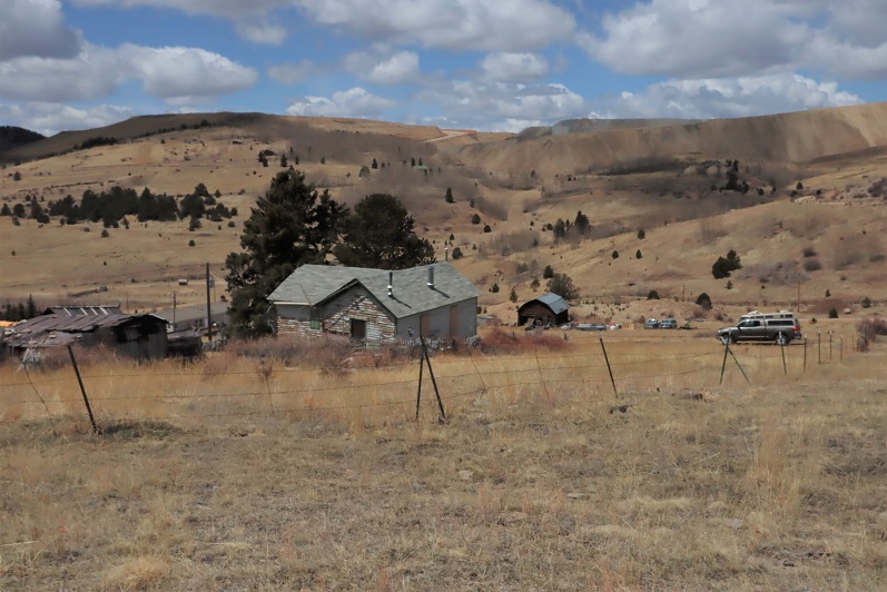
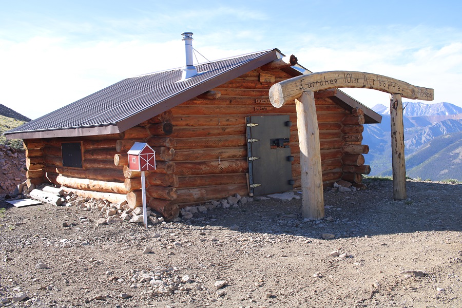
The summit register was shattered, and while I found a pen on the ground, the paper was long gone, so I left another register. From the summit I could see a cabin on the road I took in. I would have passed it if I’d stuck to the road, but I’d taken the side trail instead. I planned to head down there and see what it was all about.
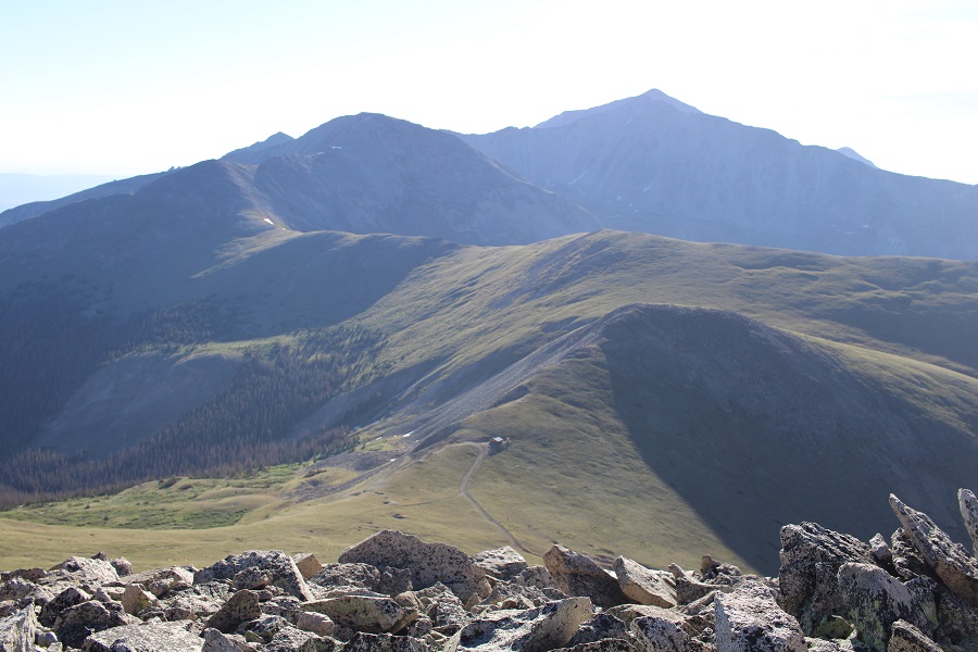
I turned and retraced my steps back to the saddle

And then I aimed for the cabin below.
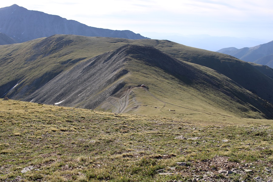
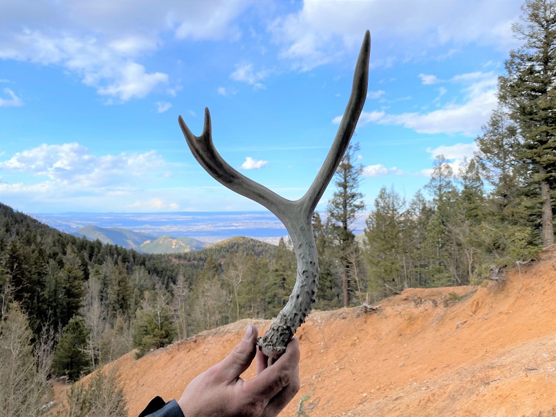
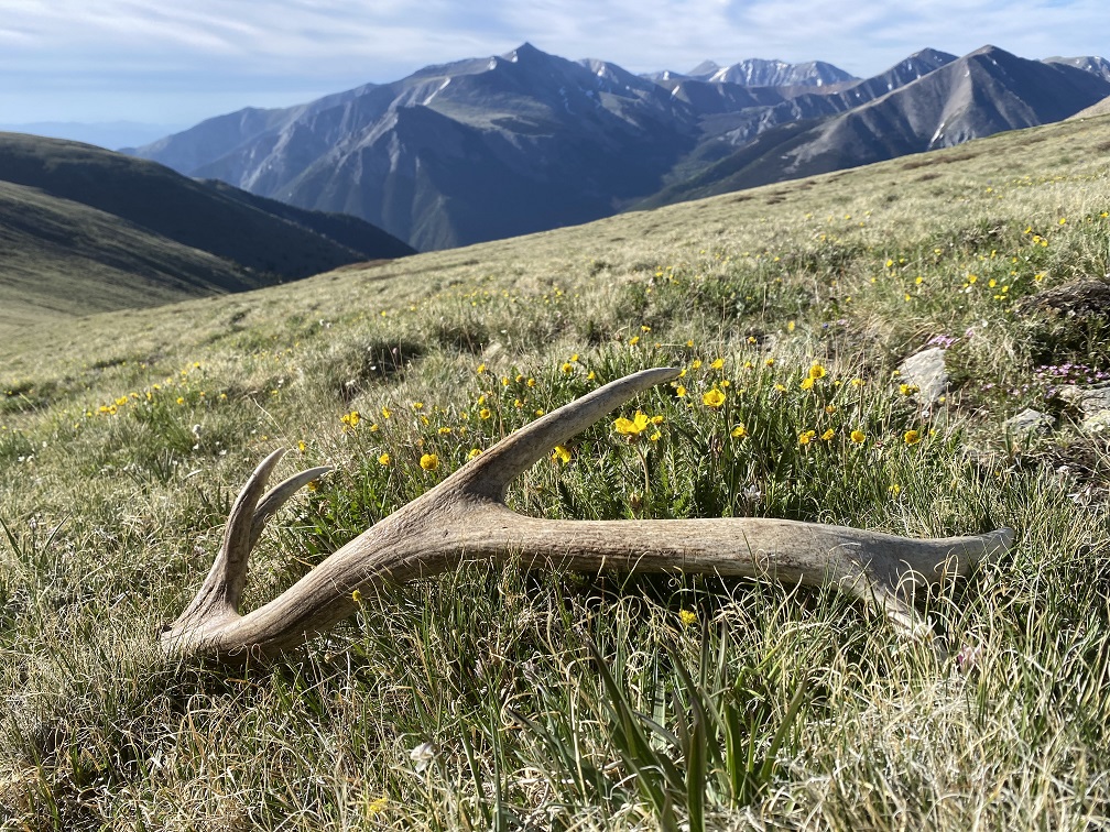
I was halfway there when I spotted an elk shed a few yards away. I looked around for more antlers, as I know elk usually shed both within a few hundred yards of each other, but didn’t see any more.
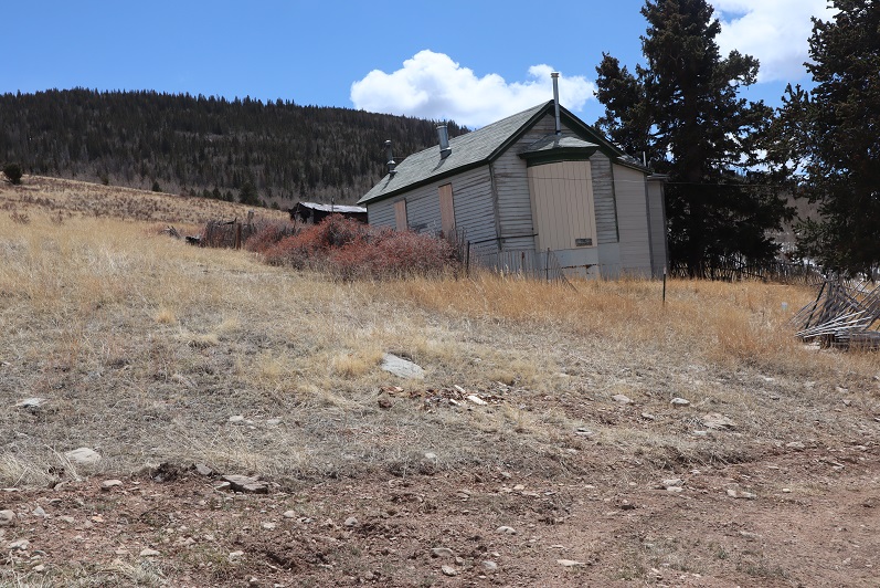
I continued on towards the cabin

For those of you wondering, this is what it looked like.
I then followed 348 north back to the trailhead


I put on my creek crossing shoes again to cross Cottonwood Creek, and kept them on for the short distance back to my truck.
I made it back to my truck at 9:45am, making this an 11.82 mile hike with 3452’ of elevation gain in 5 hours 15 minutes. This was probably the easiest 13er I’ve done in years. I didn’t see another person, or vehicle, all day.

On to the next trailhead!