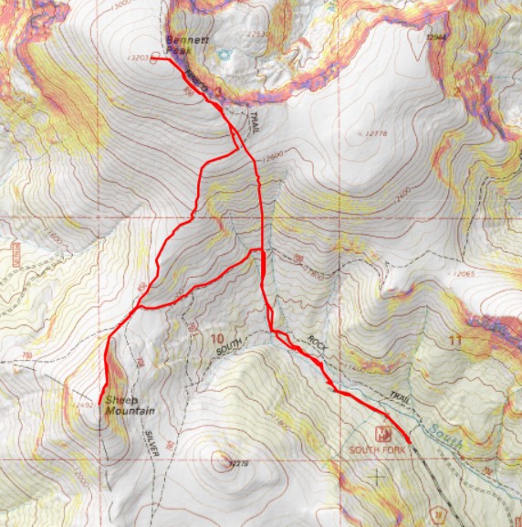
RT Length: 6.91 miles
Elevation Gain: 2451’
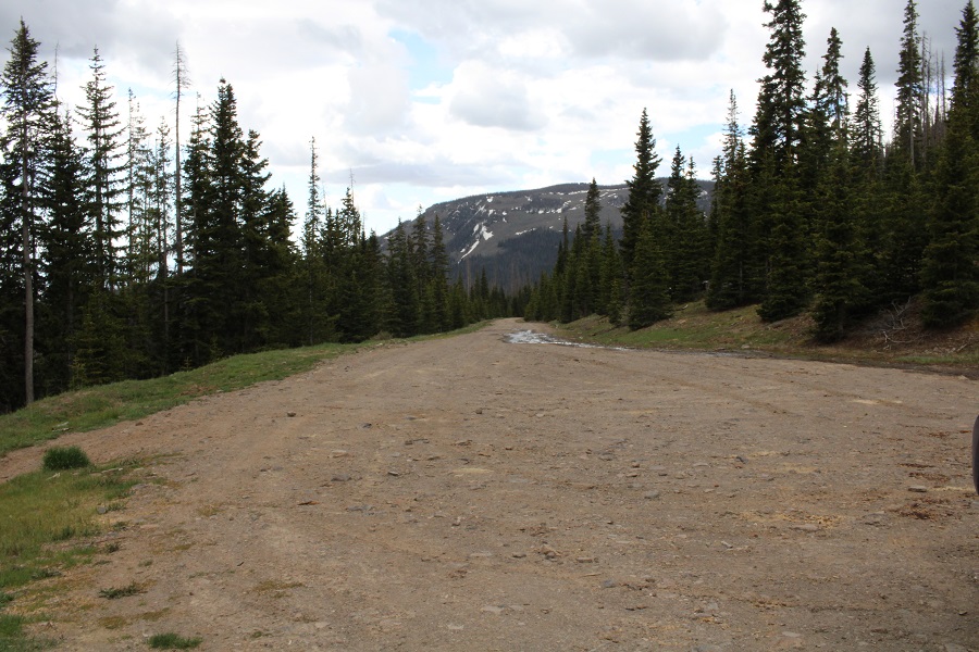
I started at 5am from the South Fork Trailhead, at the end of 28 and Trail 702. The road was a well maintained dirt 2WD road, with about 5 parking spaces at the trailhead.
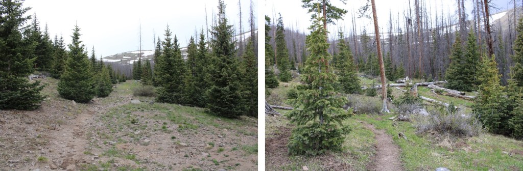
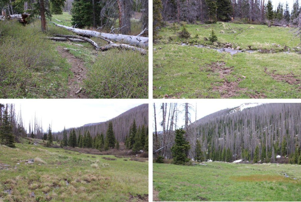
Instead of taking the trail, I followed the road that had been blocked off

This road eventually became a trail. I followed that trail northwest to the stream crossing
The I was able to cross by hopping across the rocks and jumping a few feet at the end.

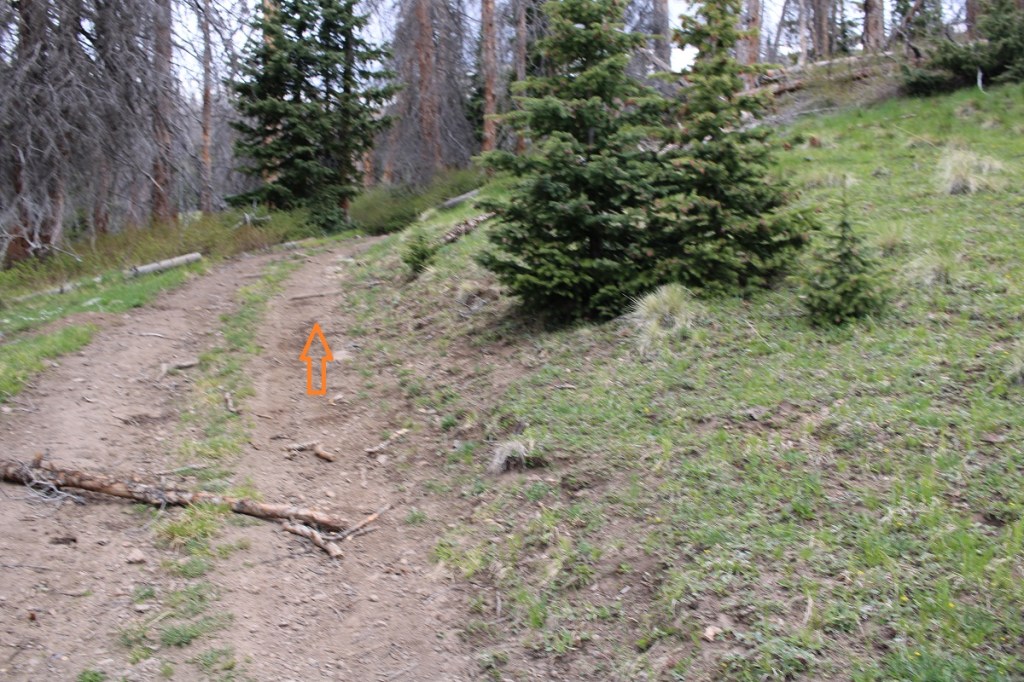
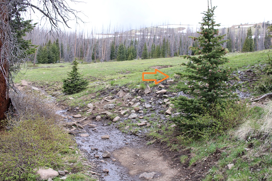
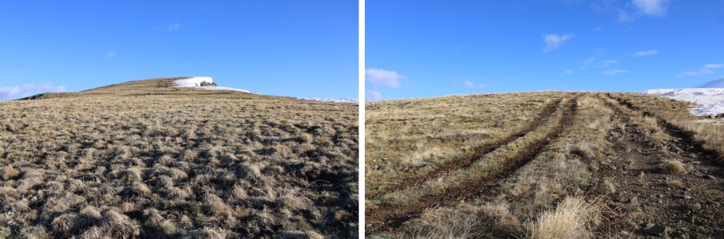
A trail picked up on the other side, but quickly dissipated. To combat this, I just kept heading north-northwest up the basin, towards the gully I could see ahead of me to the northeast (I know that sounds contradictory, but I had to make my around the trees to get there. If you’re doing this in the daylight, the gully should be obvious above the trees).

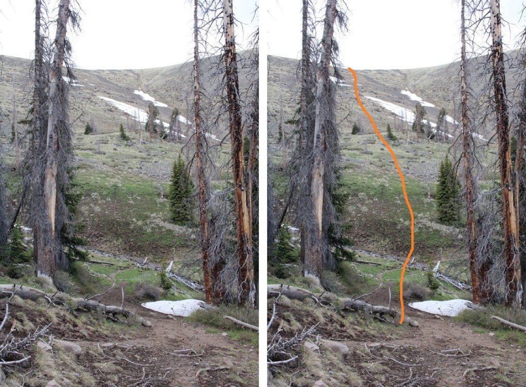
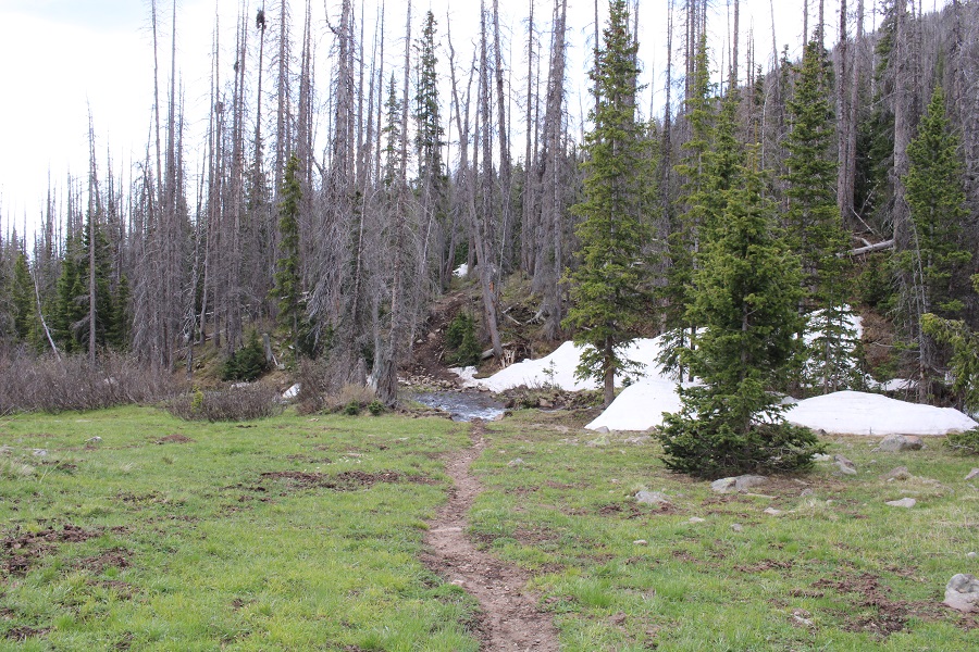
After hiking a total of .81 miles, I came to South Rock trail, turned left, and followed it about 20 yards to a small stream crossing and a ravine. I turned right, and followed the ravine to the gully, staying in what looks like an avalanche runout.
This is the route I took up the gully. This was easy to navigate, all class 2. I just kept heading north.
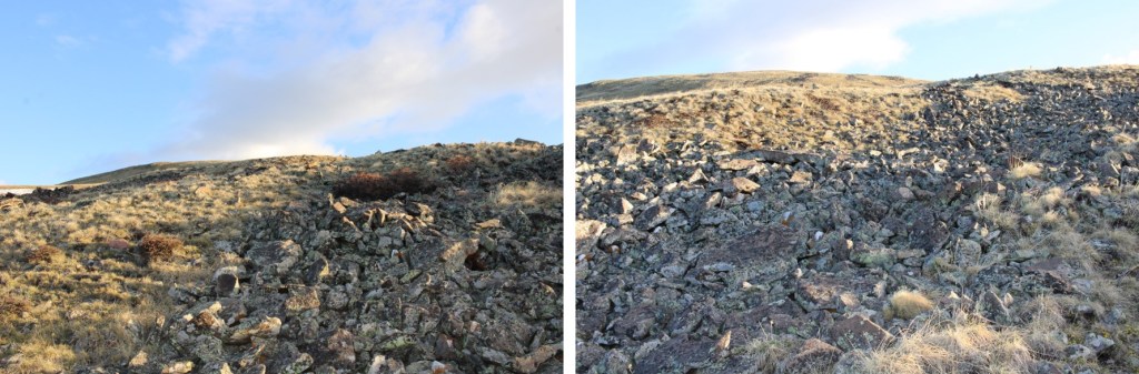
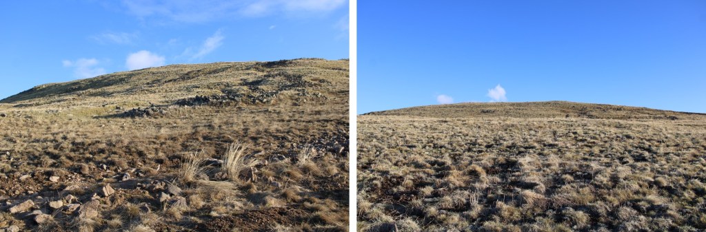
Here are some pictures of the route
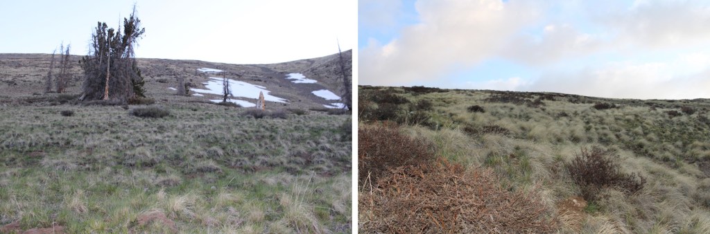
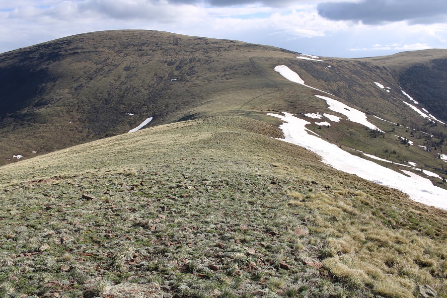
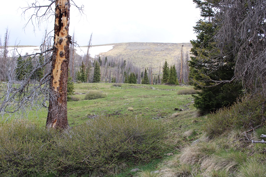
At the top of the gully I headed northwest, which included a lot more class 2 ascending on grassy tundra
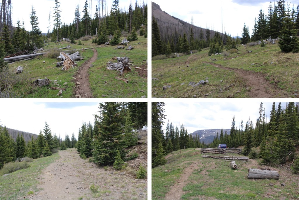
I eventually came upon an ATV road, and followed that to the summit
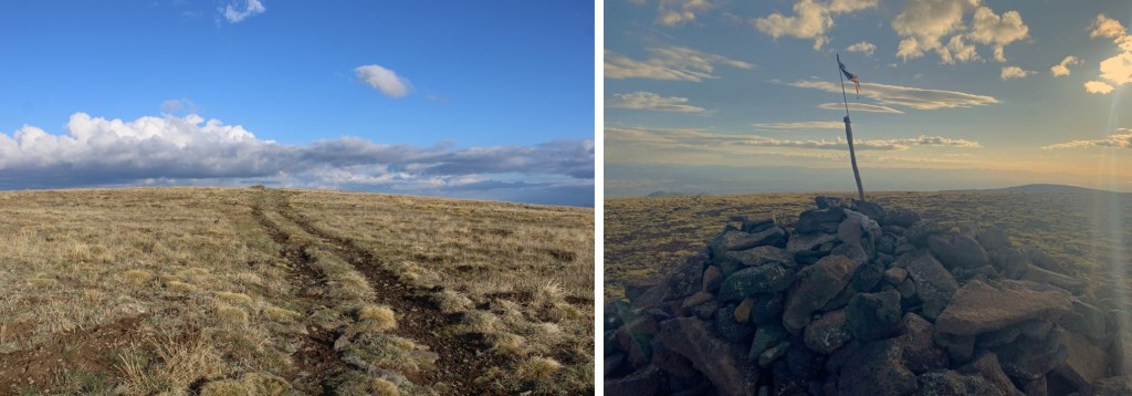
I summited Bennett Peak at 6:45am. It was 2.37 miles to the summit from where I parked.

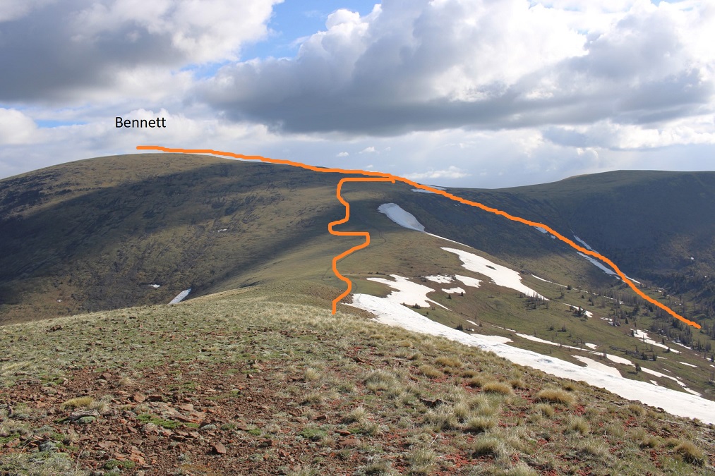
Bennett Peak:
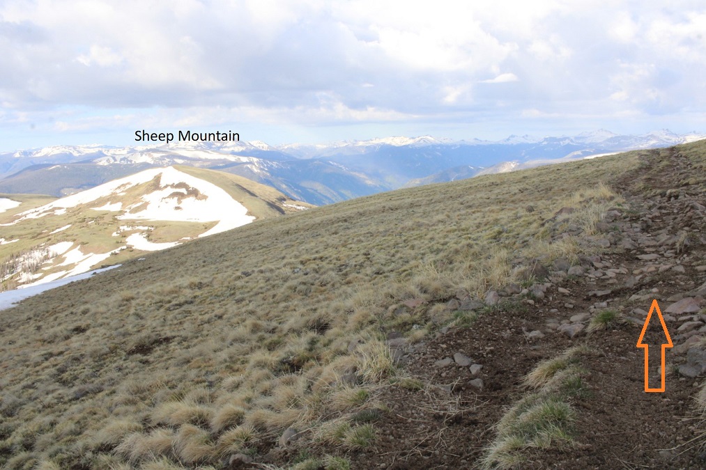
My next objective was Sheep Mountain, but I wanted to take the ATV road to get there, so I headed back south, the way I’d come in, towards the road.
Here you can see the road below I was aiming for
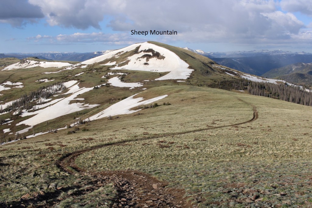
When I made it to the road I turned right, and followed it southwest to the Bennett/Sheep saddle
As you can see, this was an easy descent to the saddle
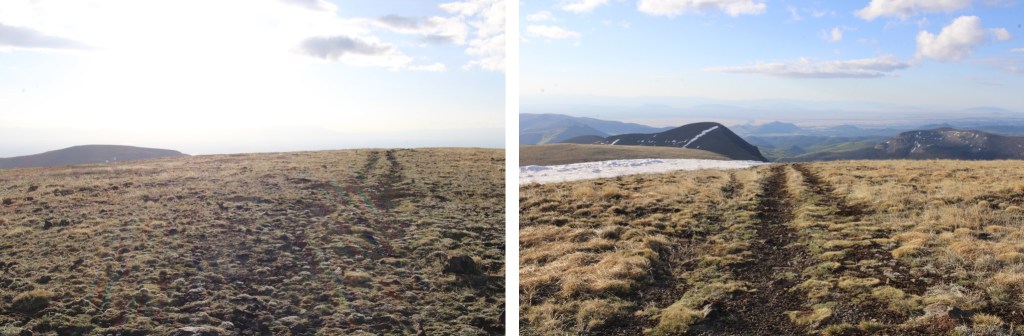
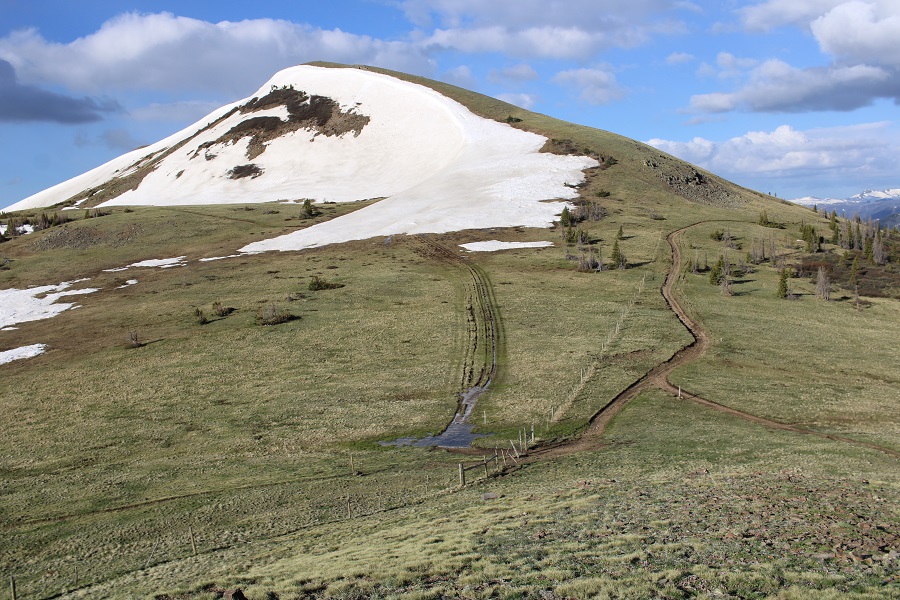
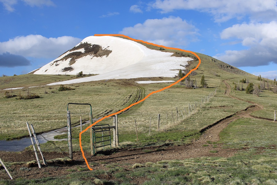
I hiked down to an open gate at the saddle, walked through it, and ascended the ridge
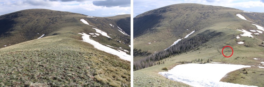
Here’s my route
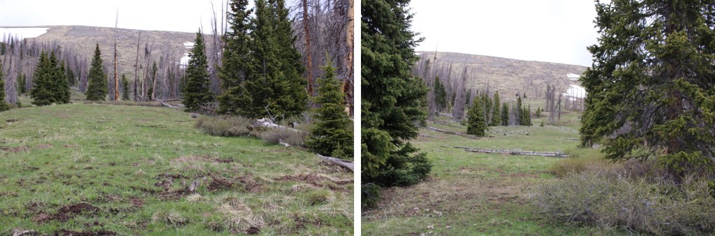
And some pictures of the class 2 ridge covered in tundra

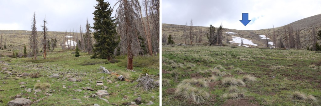
And the false summit

Here’s the real summit

There was no summit register. It was 1.6 miles from Bennett to Sheep
I summited Sheep Mountain at 8am
Sheep Mountain:
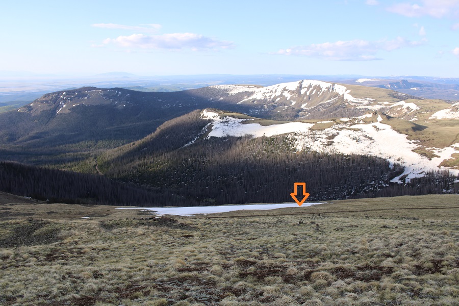
Here’s a look back in the route from Bennett Peak to Sheep Mountain
And the route I took up the gully to the summit of Bennett, and over to Sheep
I turned and headed back towards the Bennett/Sheep Saddle. Specifically, to that open gate

Once at the gate, I turned right and followed Trail 700 back towards the gully (I’d noticed it on my way up, and thought it would be a convenient way back down). You could also take it to the saddle and summit that way.
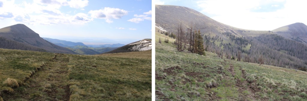
It actually became a nice trail
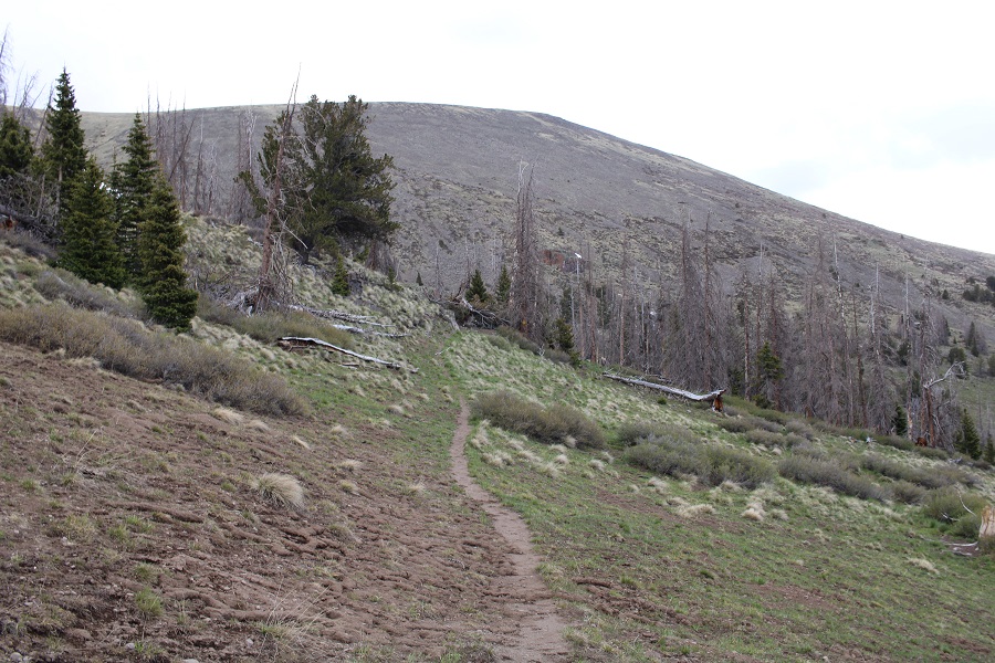
When I made it back to where I’d ascended the gully, I turned right and followed it south, and then southeast, back down to the road

This was a drainage, and very marshy

I turned left at the road, and followed it for about 20 yards before turning off the road and heading back down to the creek.

There are a lot of game trails here, but they aren’t all consistent
I crossed the creek again, which was a little more difficult with the rising temperatures and rising water level
I then picked up the trail on the other side, and followed it south back to my truck
I made it back to my truck at 9am, making this a 6.91 mile hike with 2451’ of elevation gain in 4 hours.
On to the next trailhead!
