
RT Length: 5.35 miles
Elevation Gain: 1509’
I had a lot of work to get done today, but the weather was really nice and I was itching to get out and hike something above 10K, so I picked a peak I could do relatively quickly. In fact, I think the drive to the trailhead was longer than the hike. I arrived at the Pennsylvania Mountain Trailhead at 6am and got out my gear. There are a few turns to navigate to get too the trailhead. Pro tip: When I’m unsure if I’ll have cell service on my drive out (thus being able to pull up Google Maps, etc.) I create a road map using CalTopo and add it to my GPX coordinates for the day. This way I can follow a GPX track back to the main road when I’m done with my hike and don’t need to worry about memorizing or printing out directions.
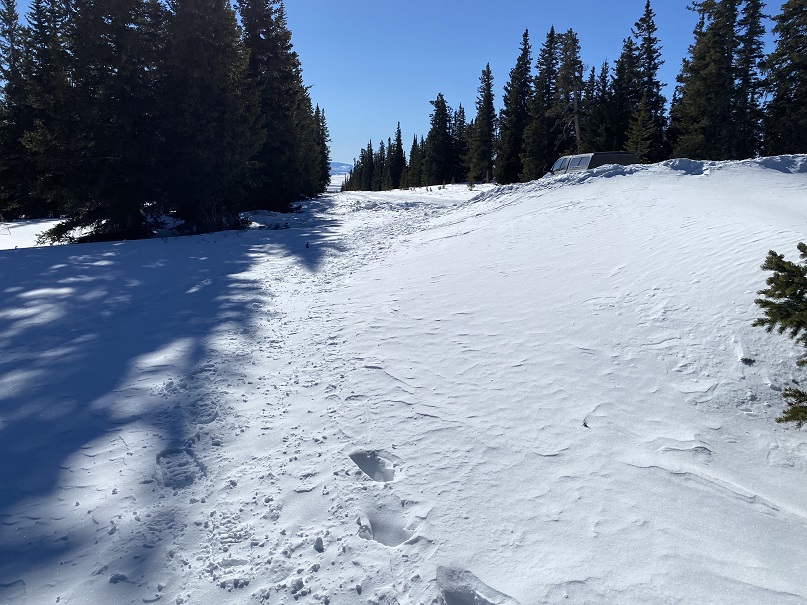
I parked at the end of a plowed dirt road in a residential area. The trail starts to the right
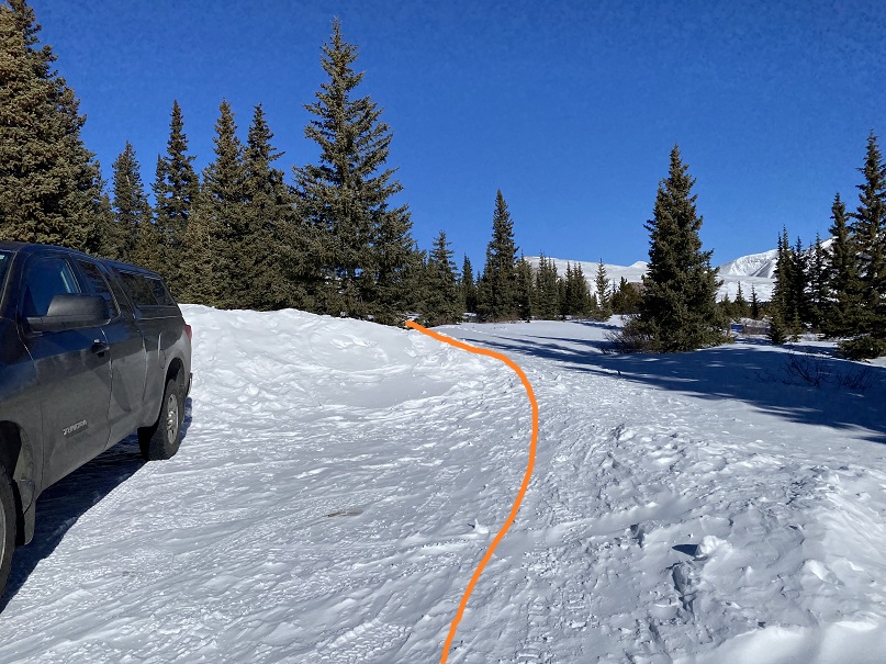
I began with my snowshoes on, and kept them on until making it out of the trees. I’m sure there’s a trail here in summer, but in winter there wasn’t a solid trail (but there were a lot of ski tracks). I headed northwest through the trees and willows to treeline.
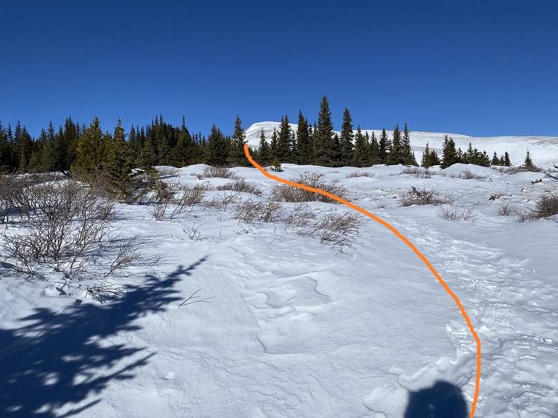
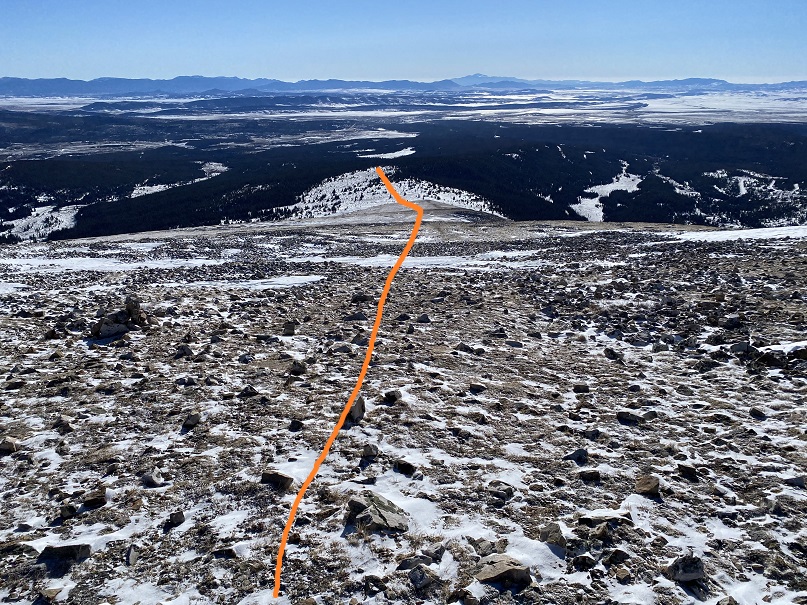
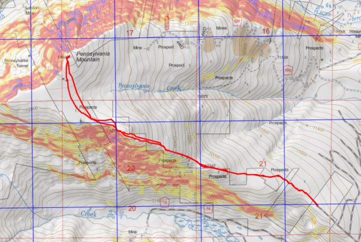
Once at treeline the route was obvious. I started climbing the east ridge


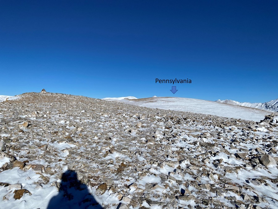
The only downside? There were a few false summits
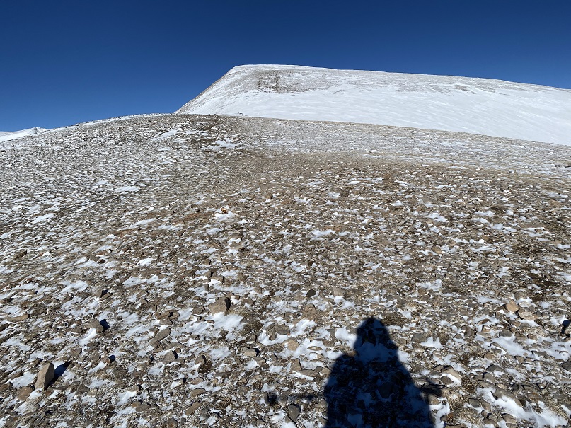
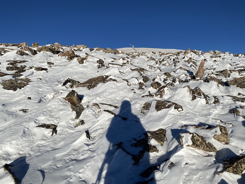
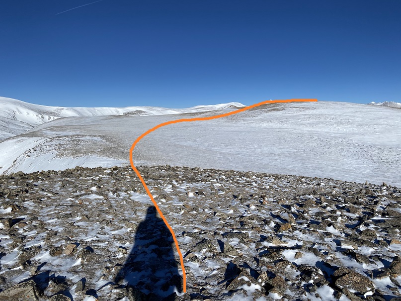
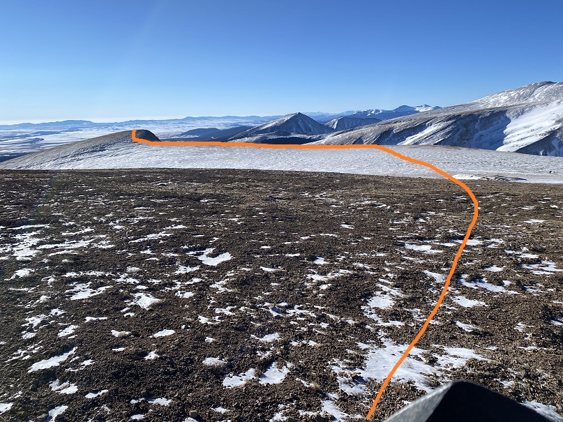
This was the last one however, and included a small decrease in elevation and a plateau before increasing in elevation again. Here’s the overall route. It’s really more of a hill at this point than a peak
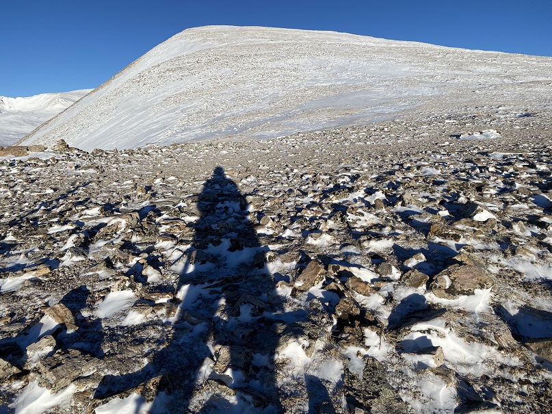
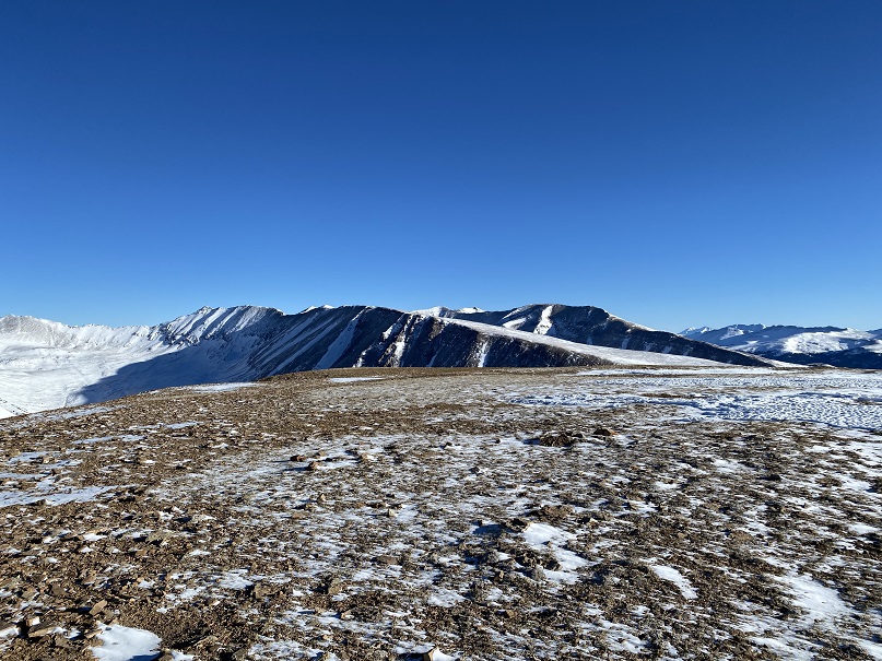
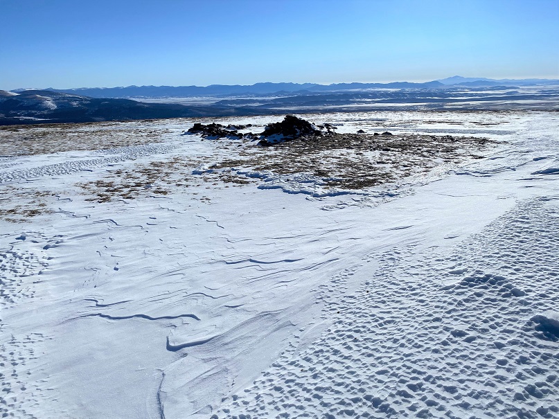
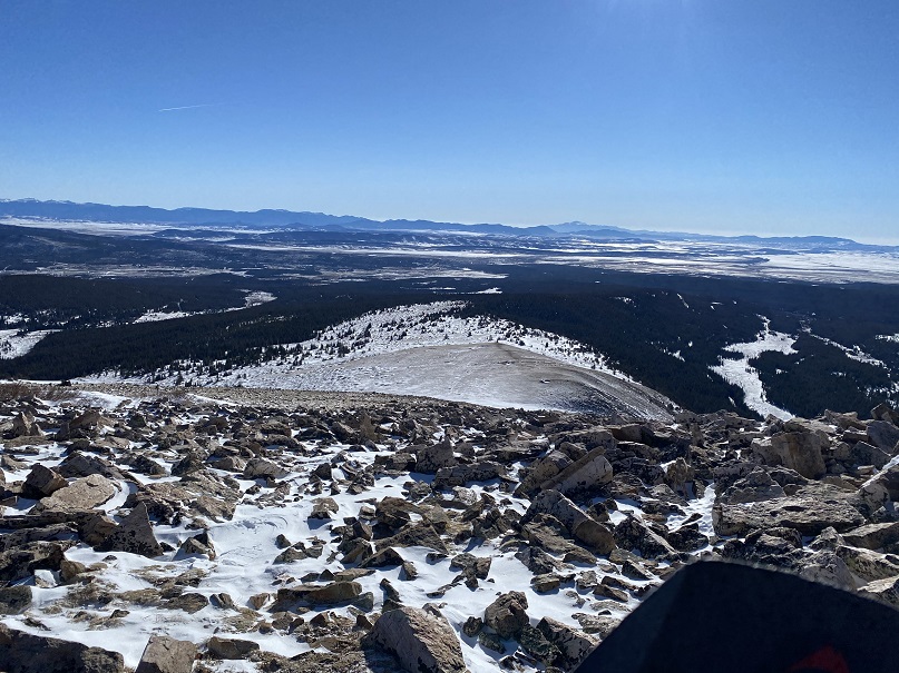
It’s best to stick to the ridge so you don’t lose too much elevation. Here I saw a small herd of elk. They’re in the photos, but too far away to really make out. I headed northwest towards a mining claim and rock outcropping

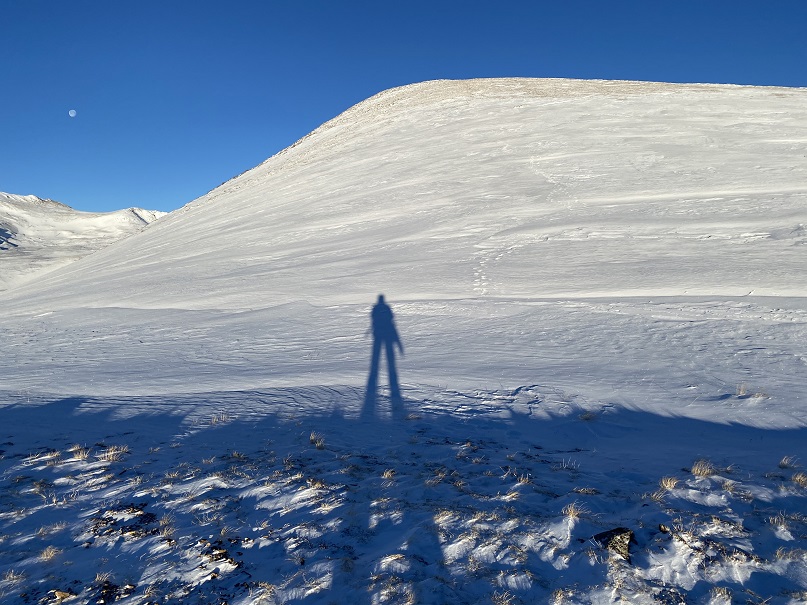
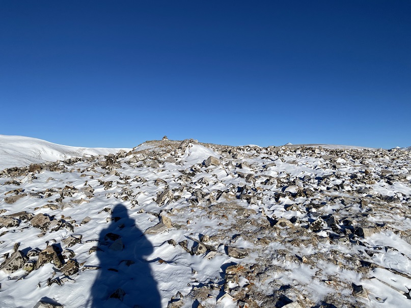
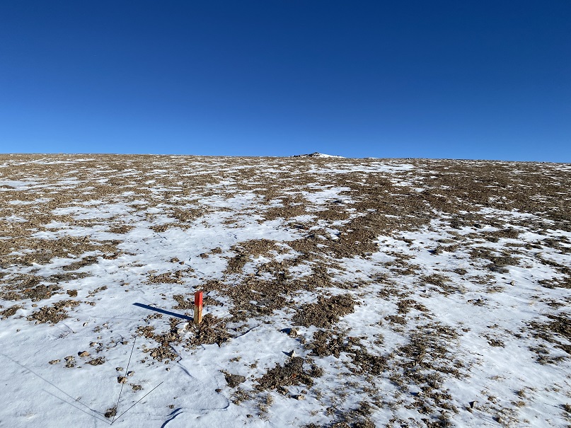
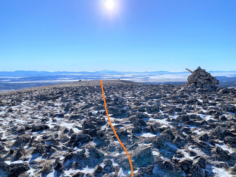
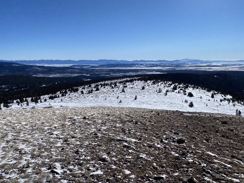
Here’s the final push to the summit
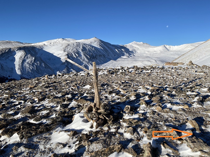
The summit was relatively flat. It was difficult to determine exactly where the true summit was. There was a wind break and a cairns, but they didn’t seem to be at the true high point. I decided to just walk around all over the summit.
Summit Selfie
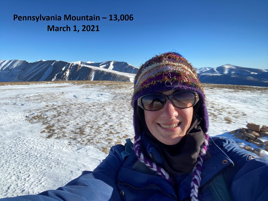
Summit of Pennsylvania Mountain
This had been a quick hike so far, and the day was beautiful. I wanted to stay longer on the summit, but I had to get to work. I turned around and headed back the way I’d hiked in
I stopped by the mine on the way back. There wasn’t much left of the structure

Then I aimed for the knob in the ridge

And then headed back down all those small, false summits
There were numbered markers scattered all over the hillside. I think they have something to do with the mining claims

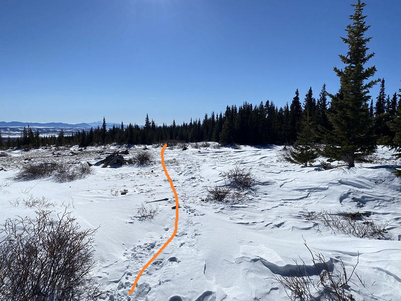
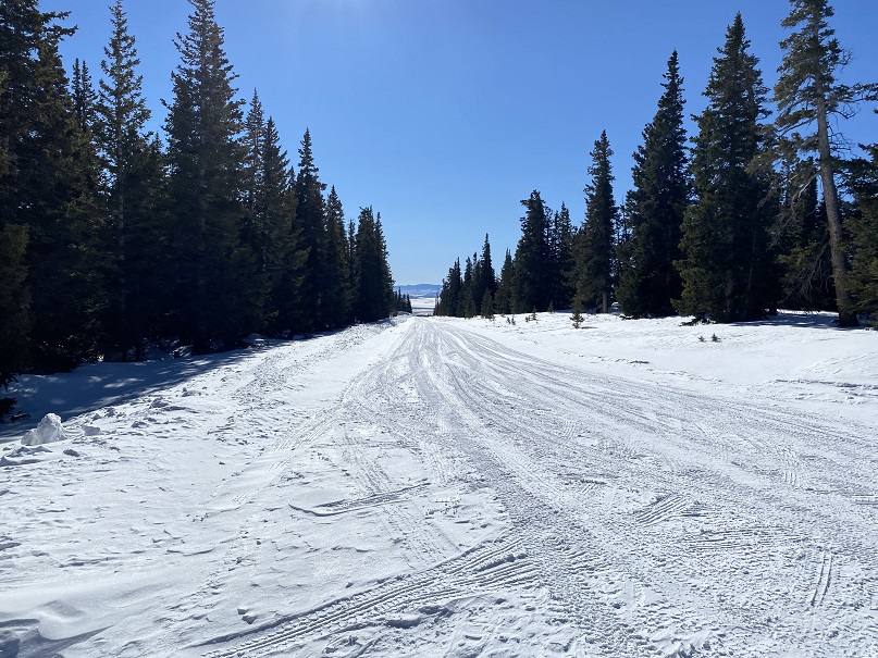
Back near treeline I put my snowshoes back on and headed through the trees and willows to the parking area.
Here’s a look at the road out
I made it back to my truck at 8am, making this a 5.35 mile hike with 1509’ of elevation gain in 2 hours.
This was a very nice and short, mild winter hike.
