
RT Length: 1.91 miles
Elevation Gain: 606’
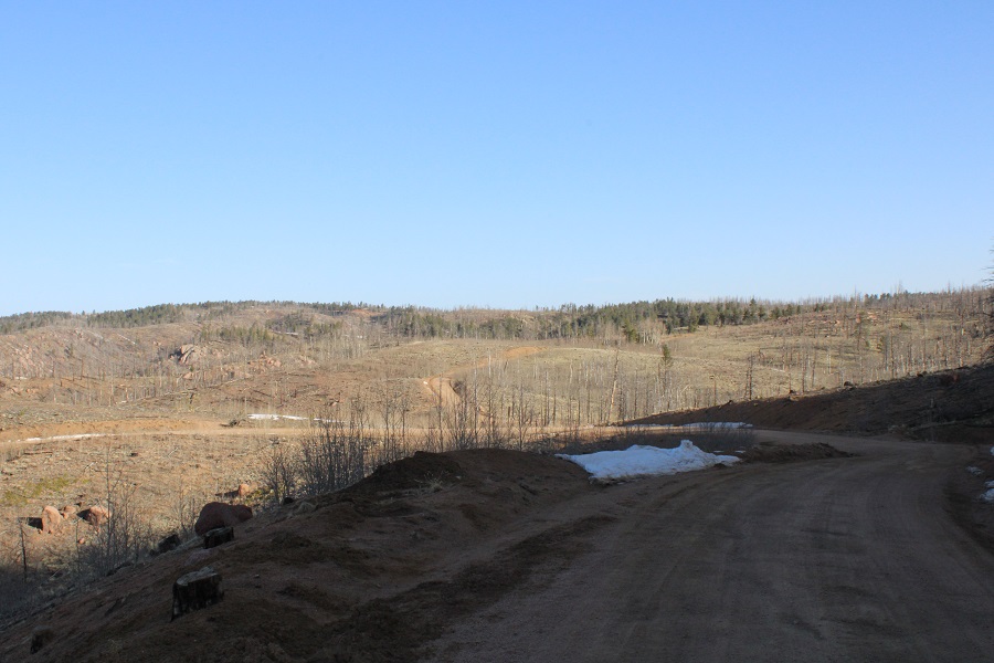
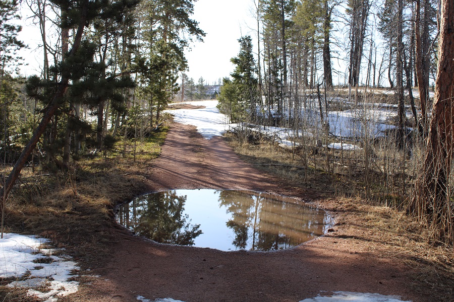
Last on my list of peaks for the day was Ormes Peak. I drove 1.7 miles further than where I parked for Notch Mountain, turned right onto 303, and continued as far as I could before the snow took over the road. There were several mud puddles here, and I had fun running my truck through them and getting mud on my tires.
This puddle was particularly satisfying, as it was covered in ice and all of it broke when I crashed through it with my truck. Also, the windows were open and I may have accidentally got some mud inside my truck (I closed my windows on the way out)
About half a mile from the trailhead the road became impassible. I parked, and was on my way.
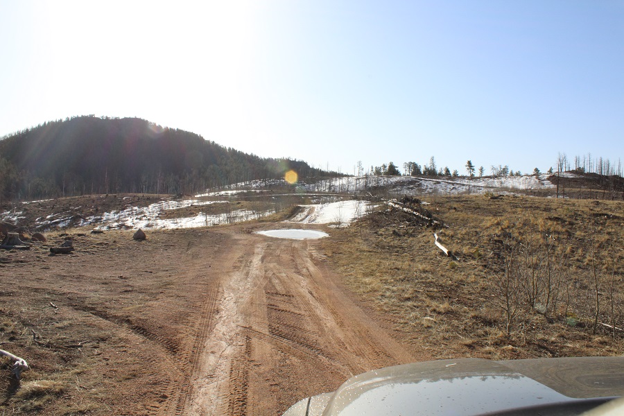
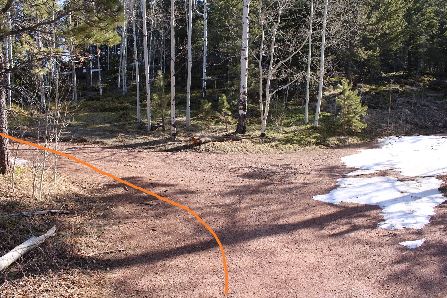
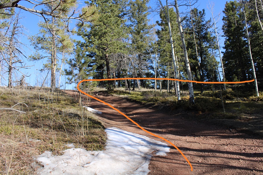
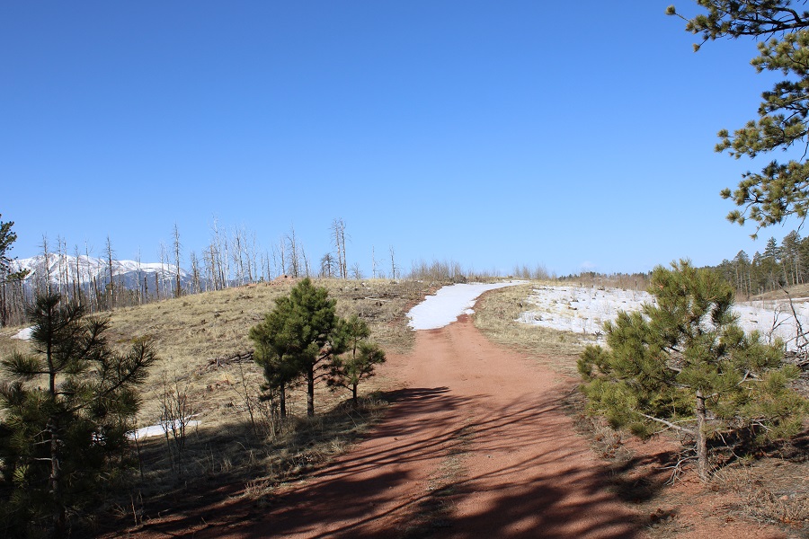
I followed the road for half a mile to an obvious turnoff, and turned left.
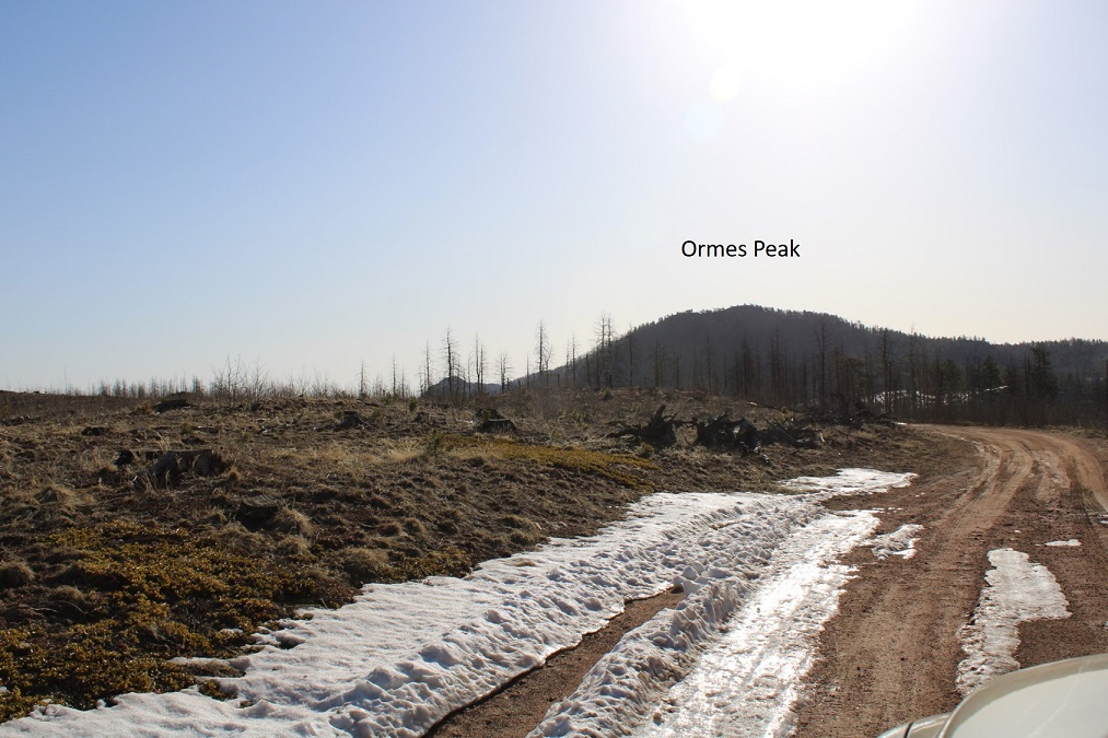
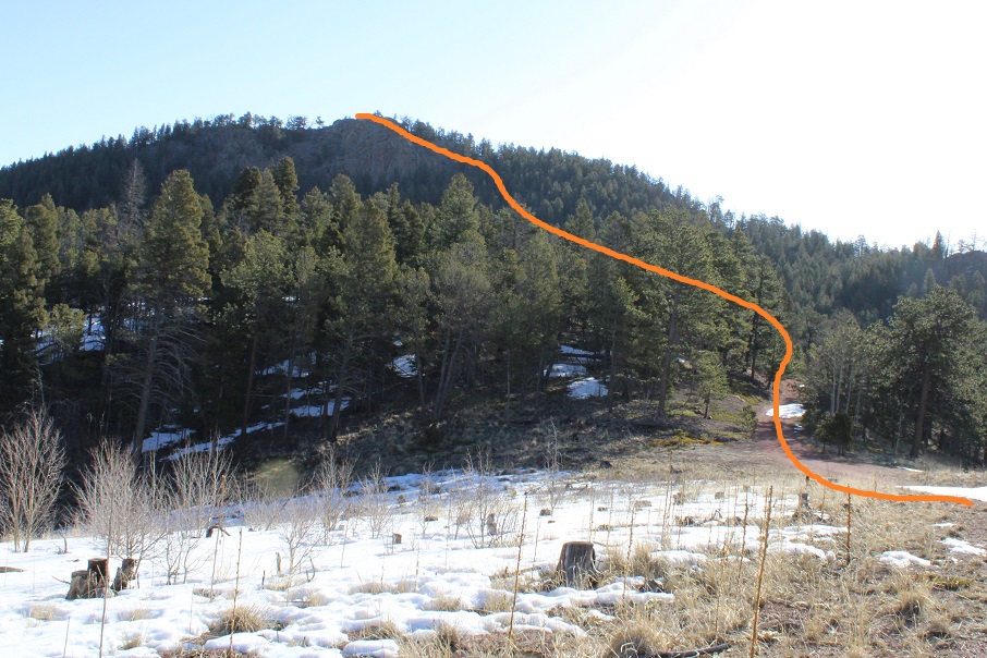
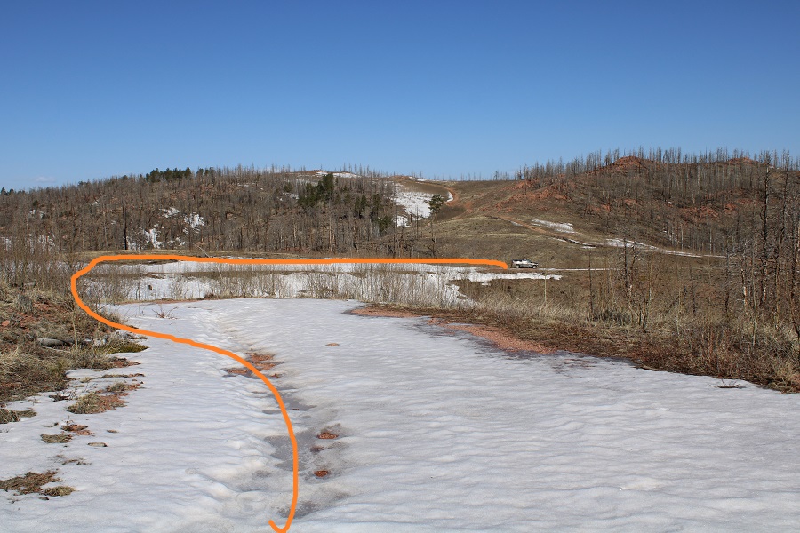
Here’s an overall view of the route:
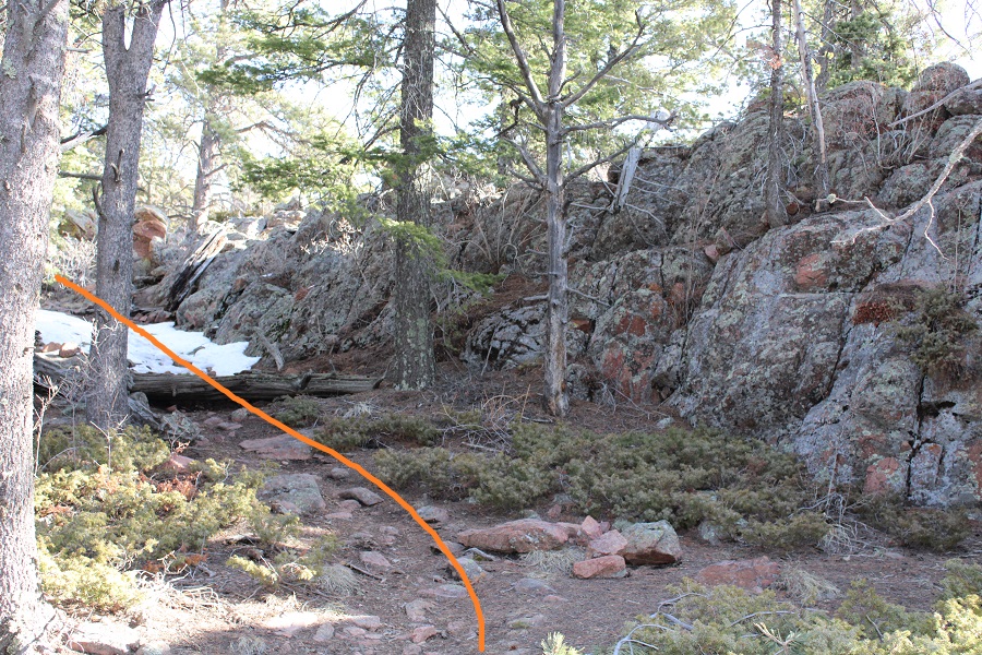
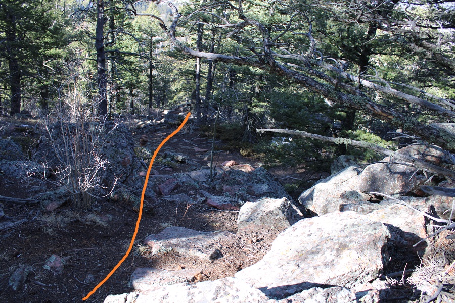
Here’s the junction where you turn left and follow a ‘trail’
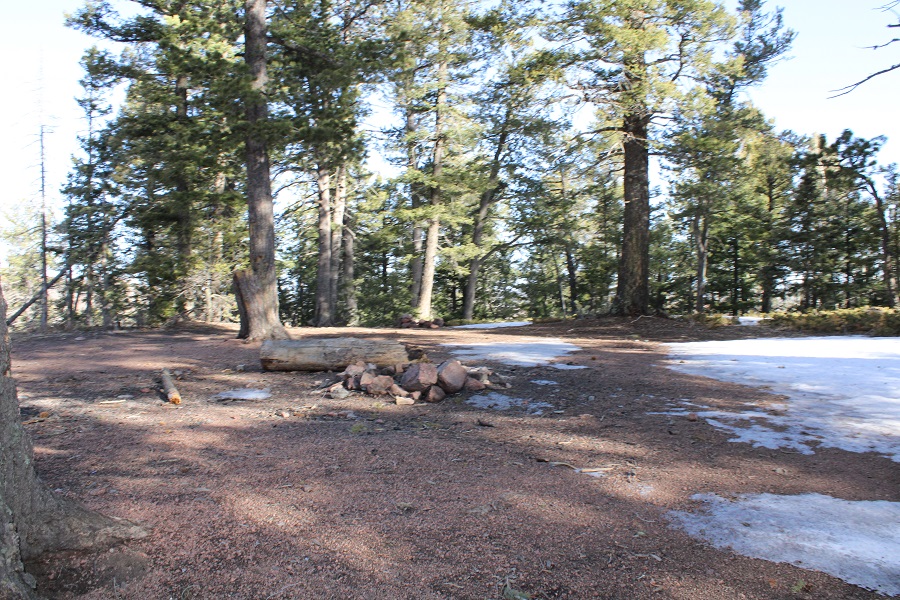
This is an area you could disperse camp for the night.
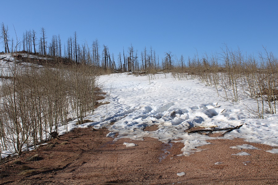
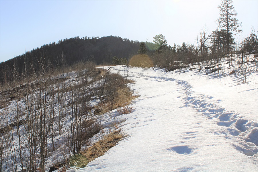
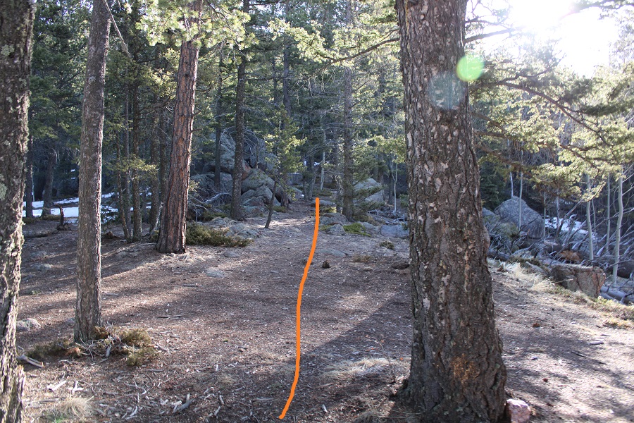
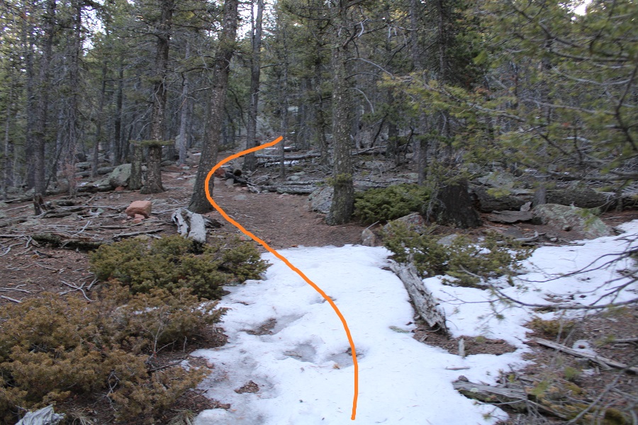
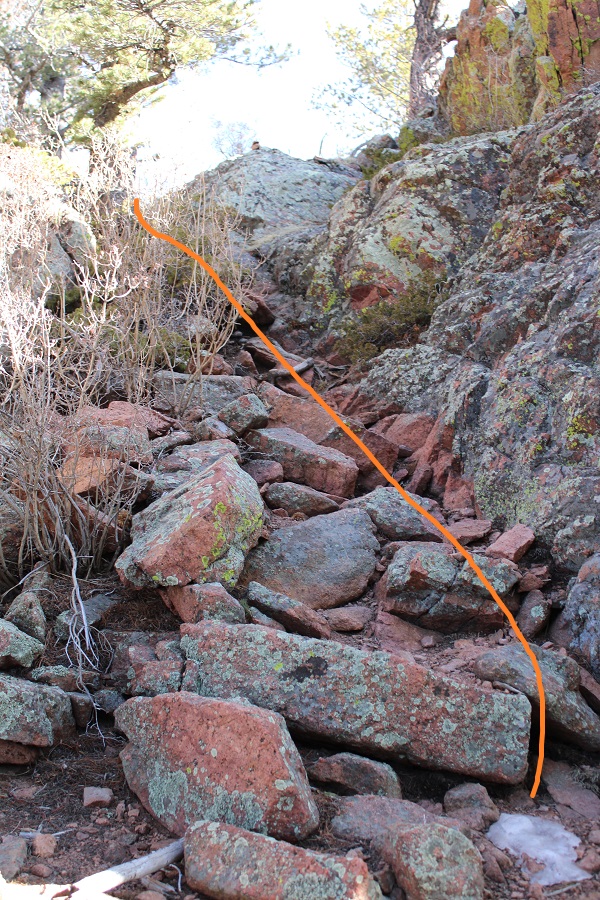
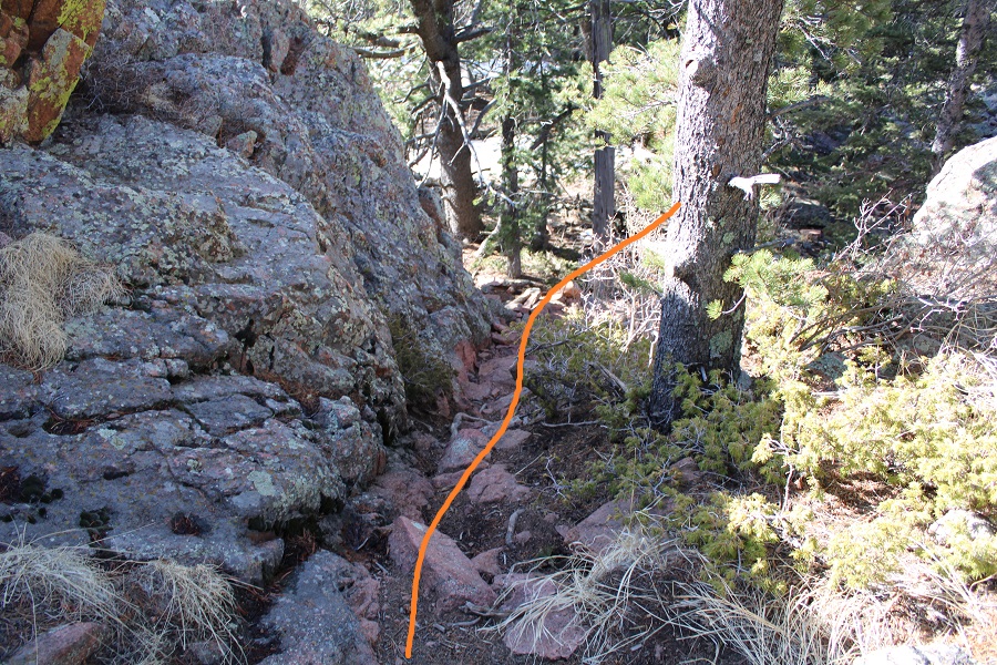
What there was of a trail was covered in snow, which made the cairns helpful. I just kept heading east

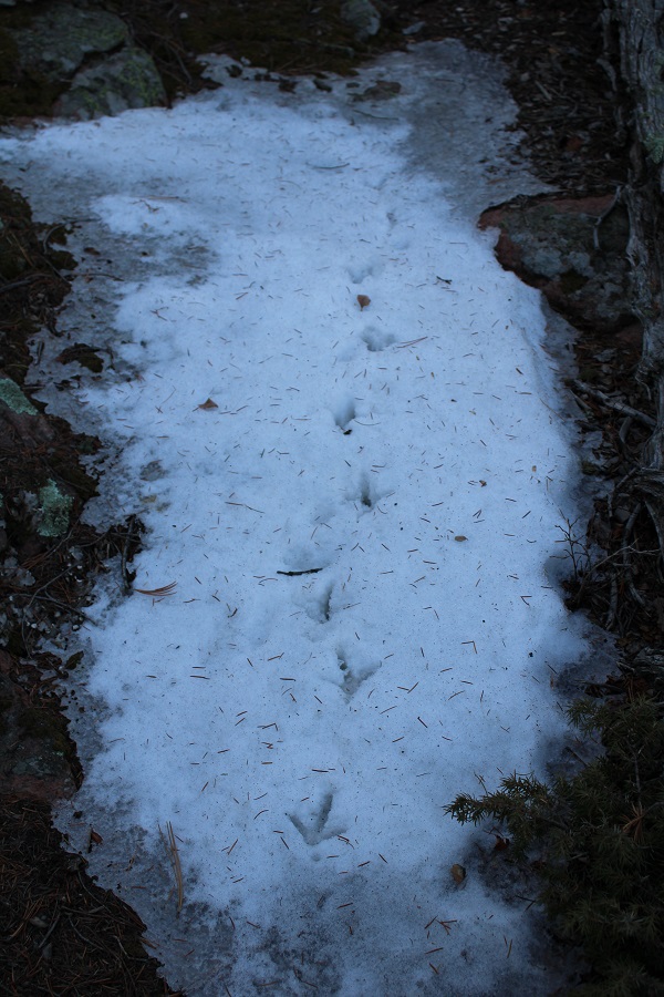
I came across some turkey tracks
And continued heading east until I made it to the ridge. Once at the ridge I headed north, ascended a small class 2 gully, and was at the summit!
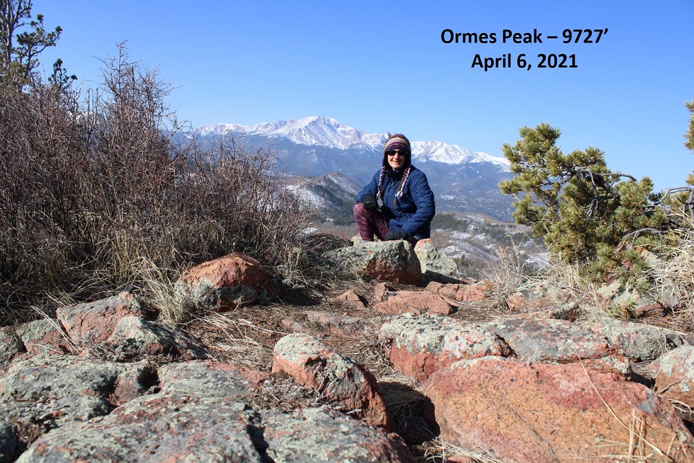
There was a summit marker here, but no register, so I left one

And took a summit photo
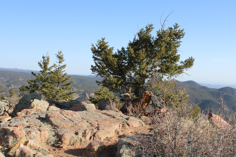
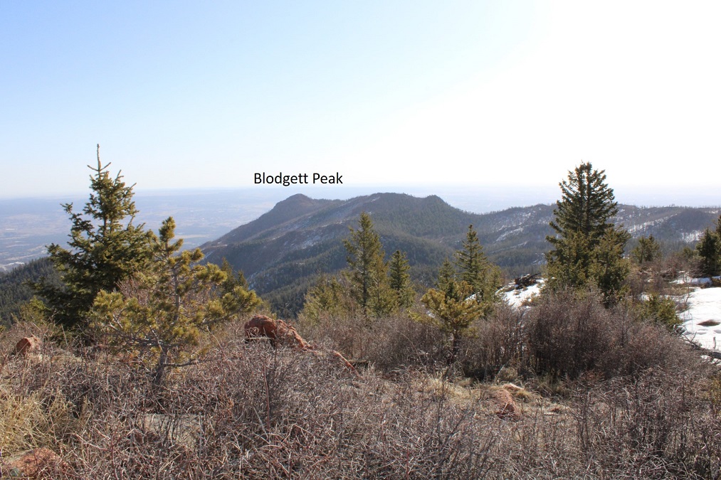
There was a great view of the back side of Blodgett Peak
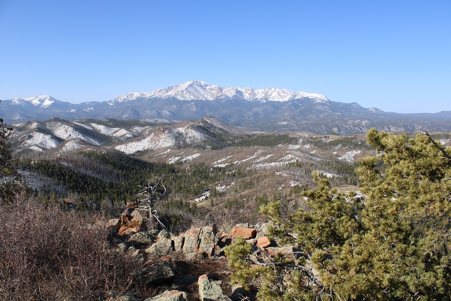
And also of Pikes Peak
I headed back the way I’d come, but quickly became disoriented: in fact, I never saw a cairn. I went too far south, but it was easy to correct my mistake: I headed west and soon came to the dispersed camping area.

Which led me back to the road and my truck

It was still early, and there were several other peaks in t he area I could have attempted, but I also had to get to work, so I stopped my tracker and was on my way

I kept driving north, towards Woodland Park to make sure the road was clear: I may just attempt a few more peaks out this way next week…
