RT Length: 14.41 miles
Elevation Gain: 5793’
I decided to take the Cottonwood Creek approach just because I haven’t done so before, and I’m glad I did. While there were some class 3 sections on this approach, the drive in was 2WD and there were way less people. Bonus: I didn’t have to re-climb Broken Hand Pass on my way out. This is my new, preferred way to hike Crestone Peak, Crestone Needle, and Broken Hand Peak (etc.)
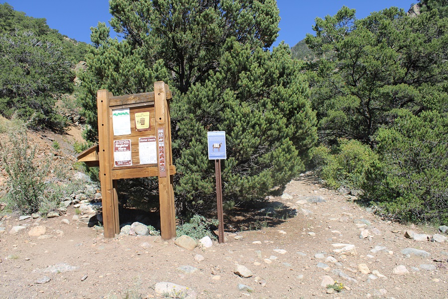
I made it to the trailhead late, and wasn’t on the trail until 6:30am. There’s a trail register and obvious start area.
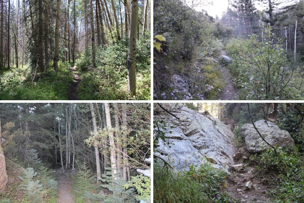
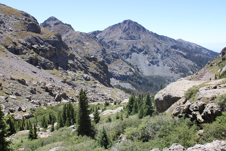
From there, I followed the class 1, Trail 743 and Cottonwood Creek for about 3.5 miles before coming to a fun rocky area. It’s August, and I saw tons of blueberries, strawberries, raspberries, and rose hips along the approach. Once the class 1 area ends, there are plenty of cairns to guide you.
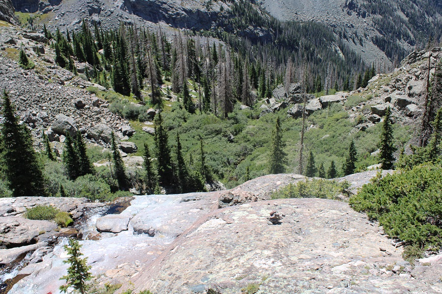
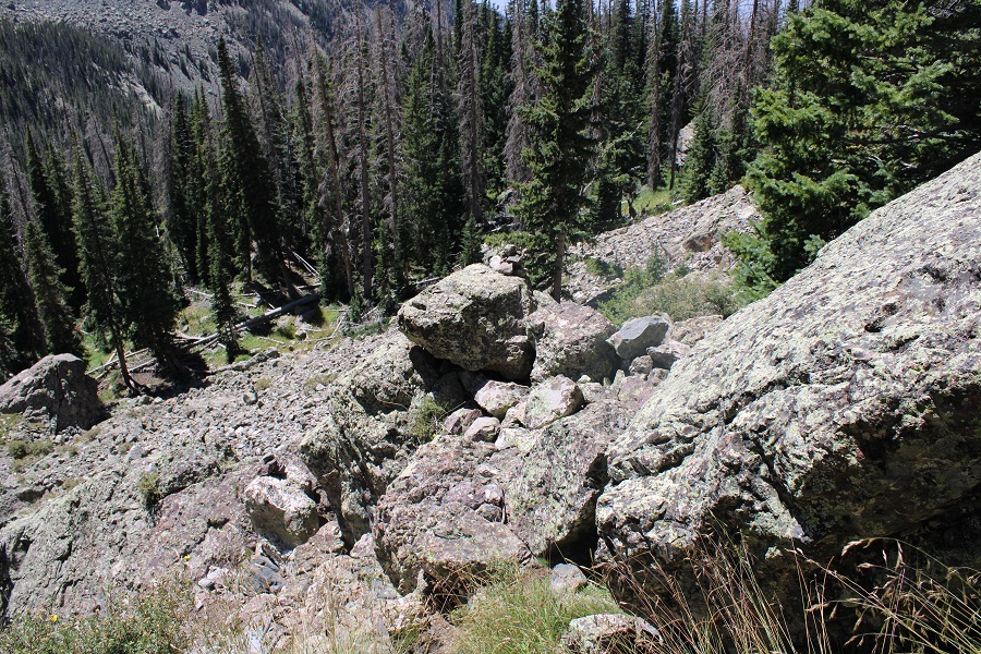
This rocky area was a set of large rock slabs that went on for .75 miles. These were steep at times, and I wouldn’t want to attempt them in rain/snow. There are tons of cairns here, so if you don’t see one, you’re off route. The nearest one may be behind you. Keep the creek/waterfalls to your right.
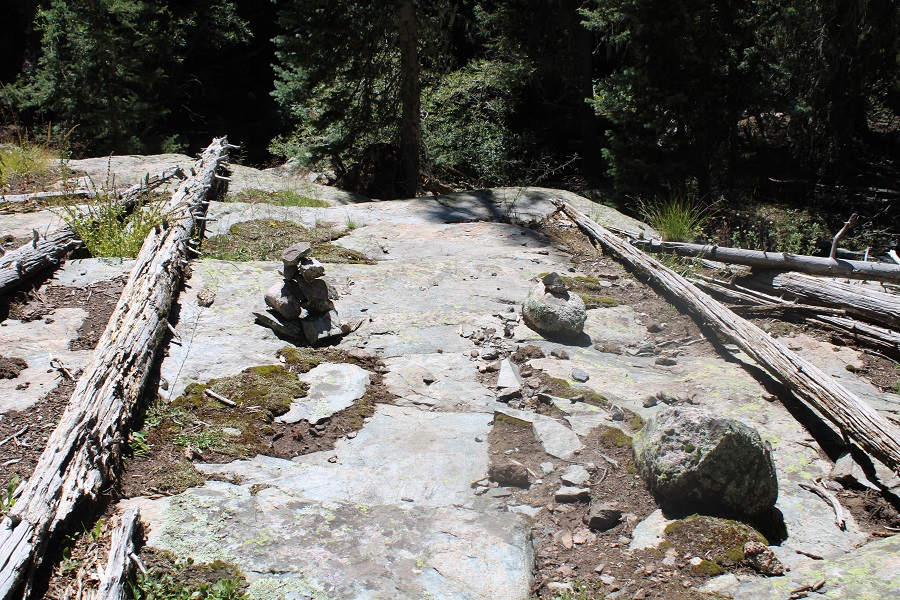

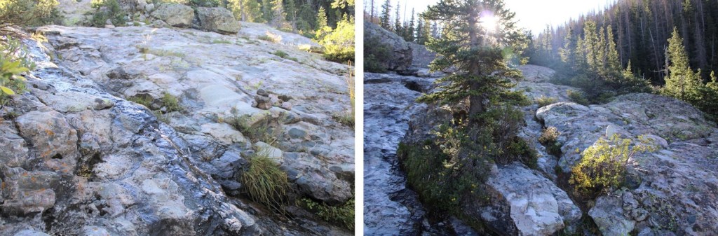
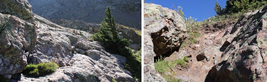
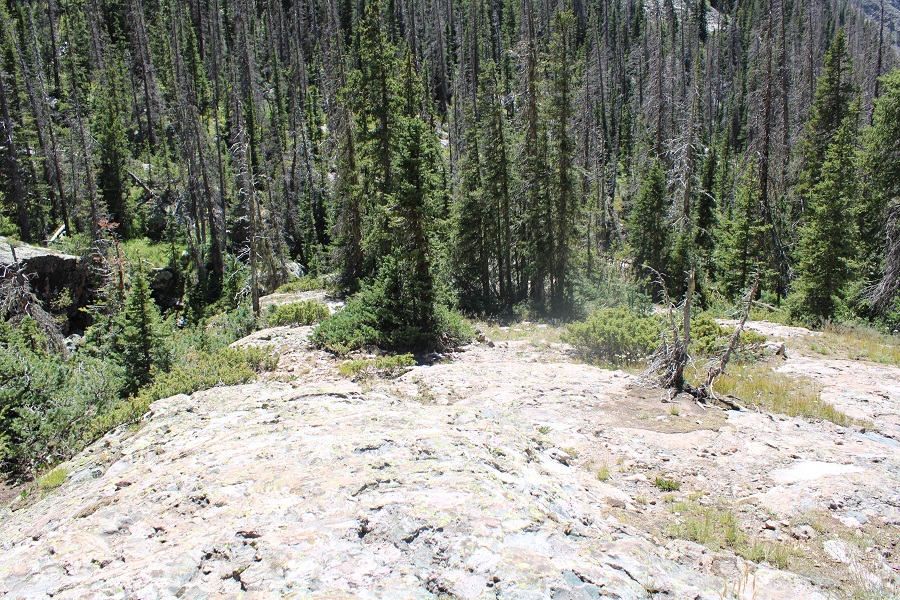
Still well cairned, the trail now becomes rocky, and this is where you’ll find some of the class 3 and easy class 4 moves. There wasn’t an obvious junction, but I was now on Cottonwood Trail 861, headed northeast.
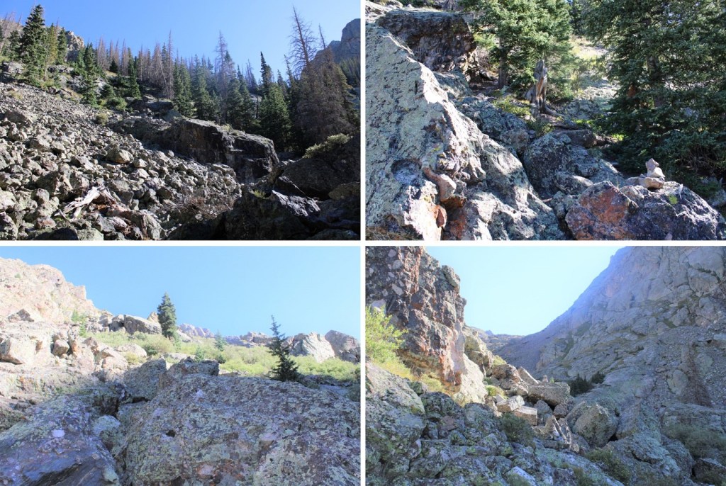
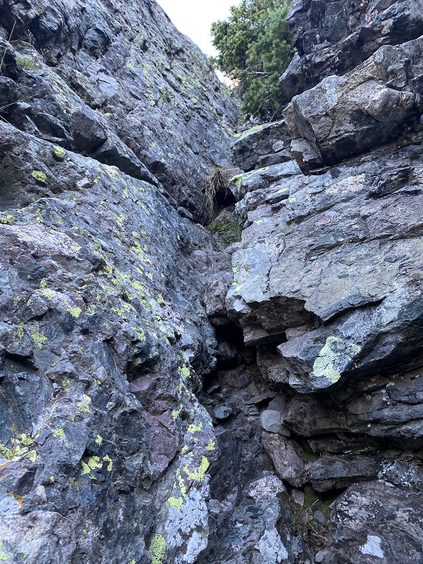
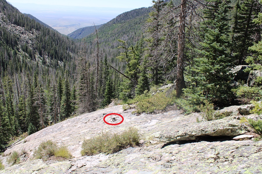
This was the sketchiest part for me the entire day

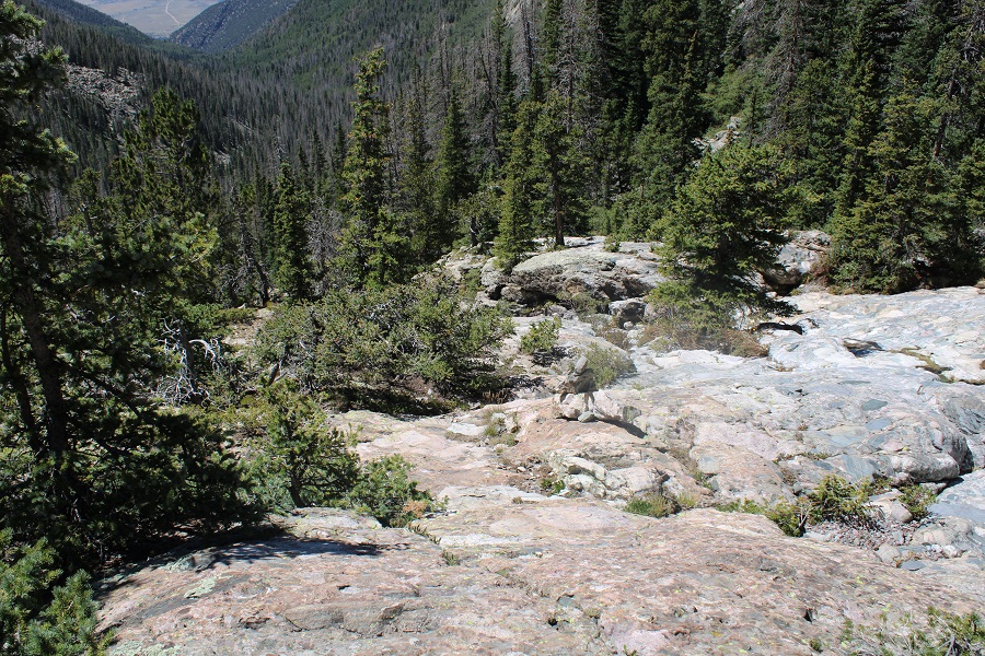
Of course, there are multiple sections of willows. Once again, a well cairned area, but these are willows, so be prepared to get whacked in the face by willow branches. Some of the cairns are under the willows, but there are obvious trails.
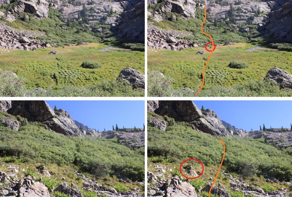
I was now back on the well established, class 1 Cottonwood Trail.

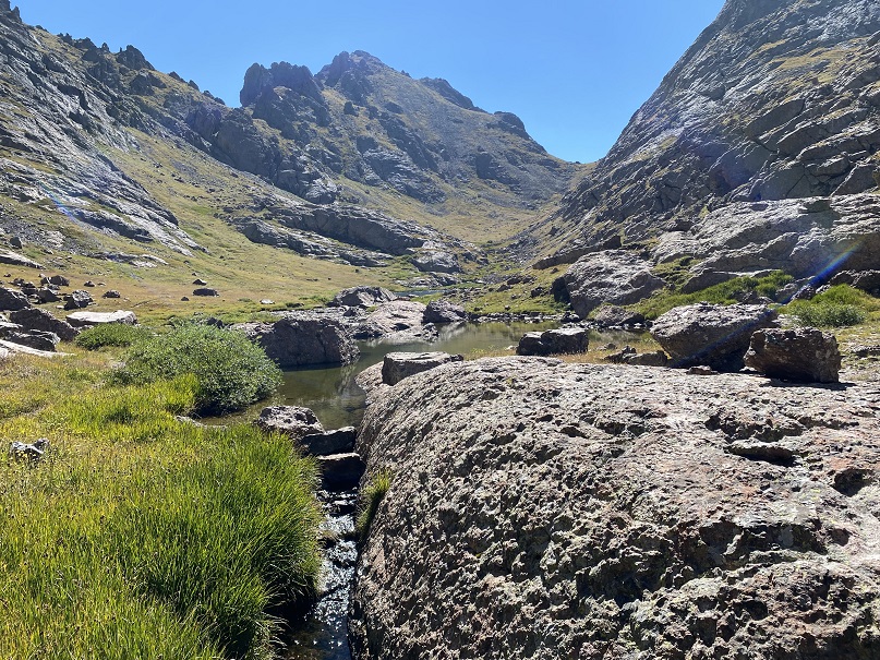
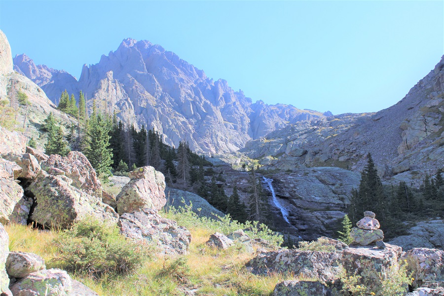
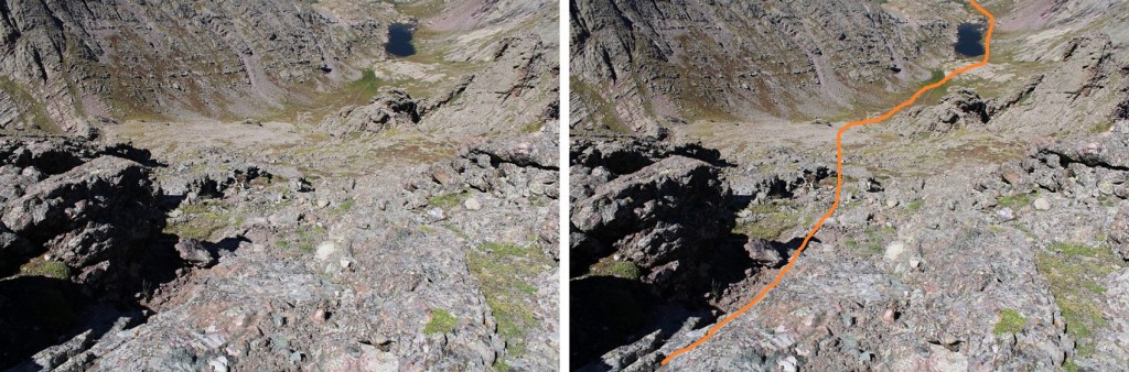
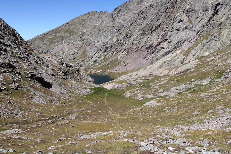
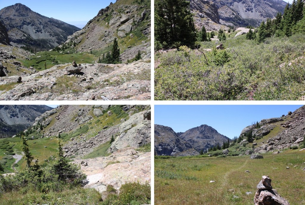
I followed this trail east, around Cottonwood Lake, towards Broken Hand Peak. Here’s an overall view of my hike up Broken Hand Peak
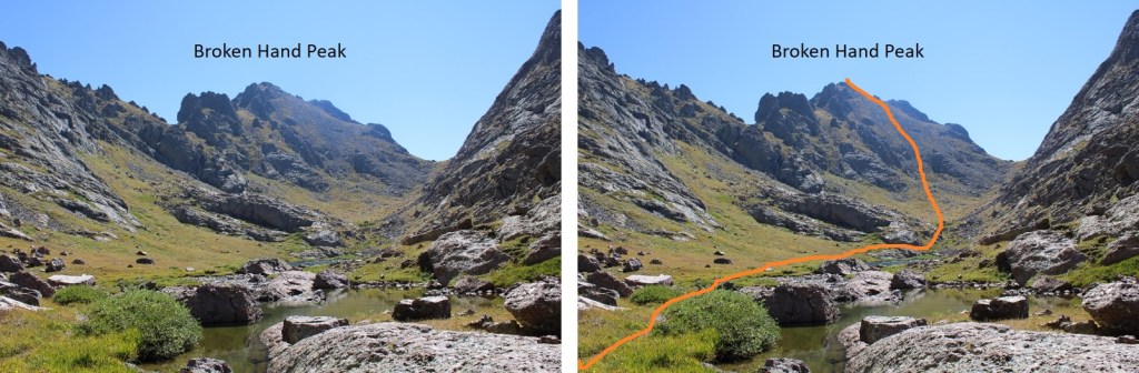
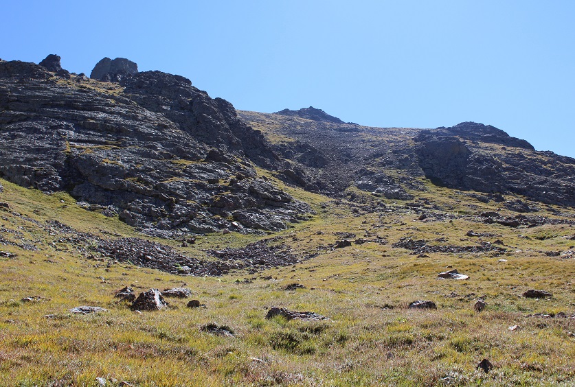
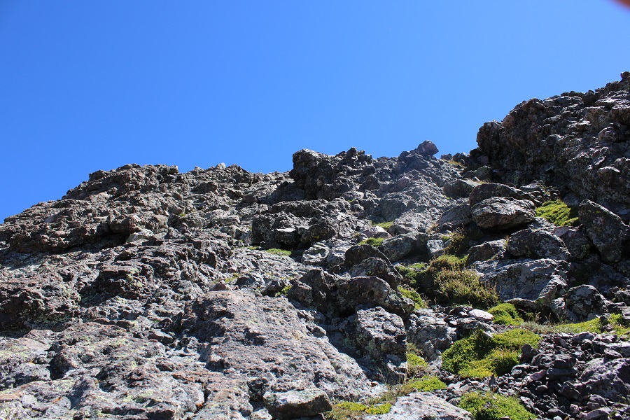
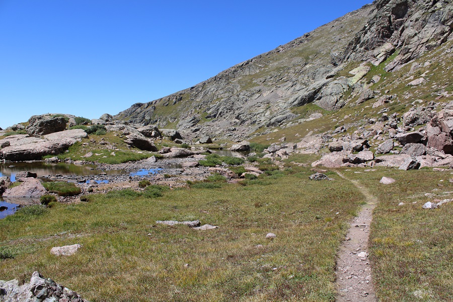
I skirted Cottonwood Lake to the left, following the class 1 trail, then left the trail before it headed towards Broken Hand Pass, and instead headed east up the slope to Broken Hand Peak. This was straightforward, class 2 the entire way. Here are some closer pictures of the route


I summited Broken Hand Peak at 11:15am.
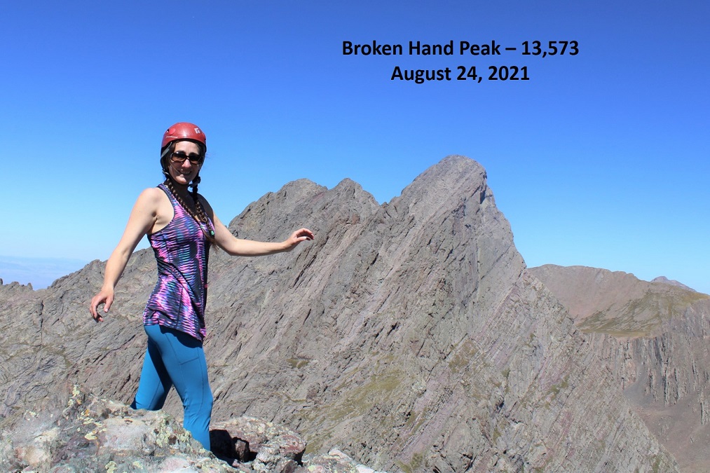
Broken Hand Peak:
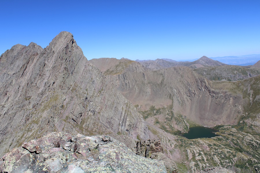
It was a beautiful day! I stayed longer on the summit than I normally do, just enjoying the good weather (and cell service!). check out Crestone Needle and South Colony Lake.
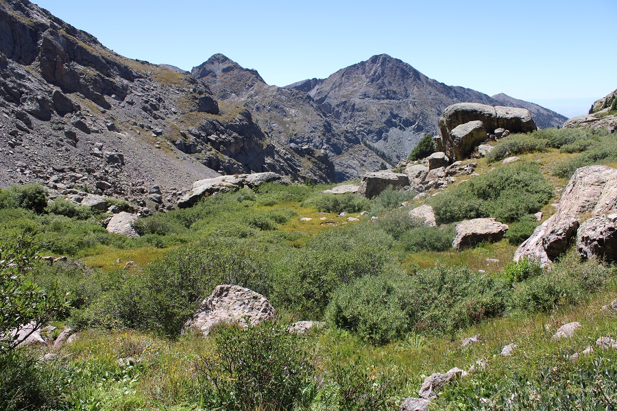
Then I was off, retracing my steps, heading back down towards Cottonwood Lake. Here’s an overview of the route back to the lake
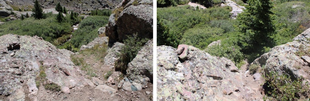
And then back through the willows and down the class 3-4 section
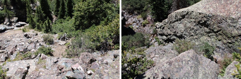
Following the cairns back down
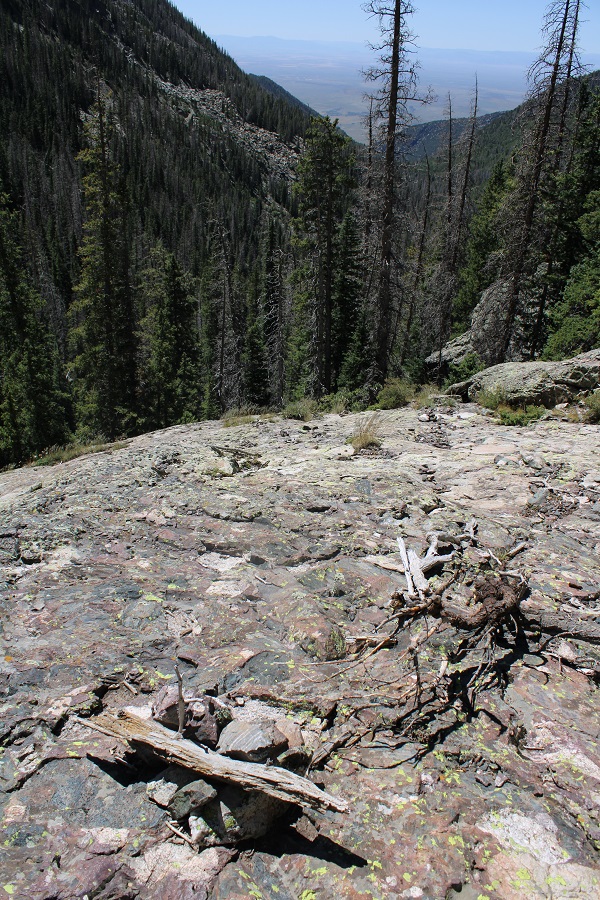
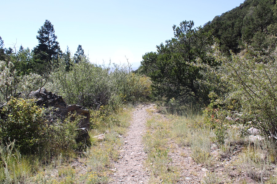
Once past the rock slabs, it was an easy hike on class 1 terrain back to the trailhead.
I made it back to my truck at 3:30pm, making this a 14.41 mile hike with 5793’ of elevation gain in 9 hours.

