RT Length: 10.07 miles
Elevation Gain: 5296’
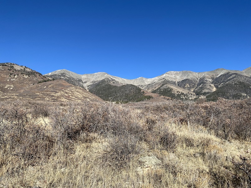
It should be noted the Ferguson Creek trailhead is closed from March 15 – May 15 every year for Sage Grouse mating season.
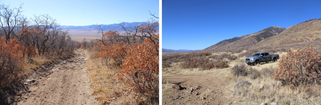
The weather forecast changed overnight. Yesterday it predicted 10-15mph winds. Today, 35-40mph. Hmmmm…. Well, it was supposed to be warm, and I was already at the trailhead, so I decided to give it a go. I actually drove past the creek, turned left at the junction after the creek, and then drove for about a mile on the 4WD road before finding a spot to park for the night.


If you don’t have a 4WD vehicle, there’s plenty of parking/camping at Ferguson Creek.
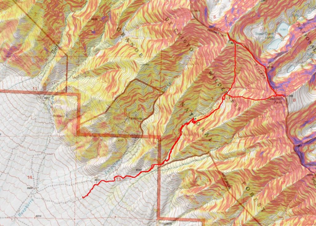
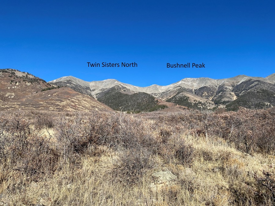
I could have driven all the way to where the scrub oak ended and the trees began, but that would have meant getting Colorado pinstripes on my ‘new’ truck. Instead, I parked in an open area and took in a view of the peaks I’d be attempting tomorrow. They looked straightforward enough. My campsite was at 8500’, and from this angle, I couldn’t imagine there was enough elevation difference to make Bushnell and Twin Sisters both ranked peaks. Boy, was I wrong!
I was also surprised: it was a Saturday, the weather was great, it was hunting season, and no one passed me on this road the entire time I was here. I made it an early night, and once again, pressed snooze on my alarm several times before hitting the trail the next morning: I’ve gotten too comfortable sleeping in the cab of my truck. I was on the trail at 6am.
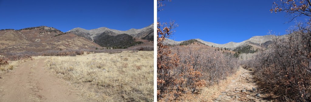
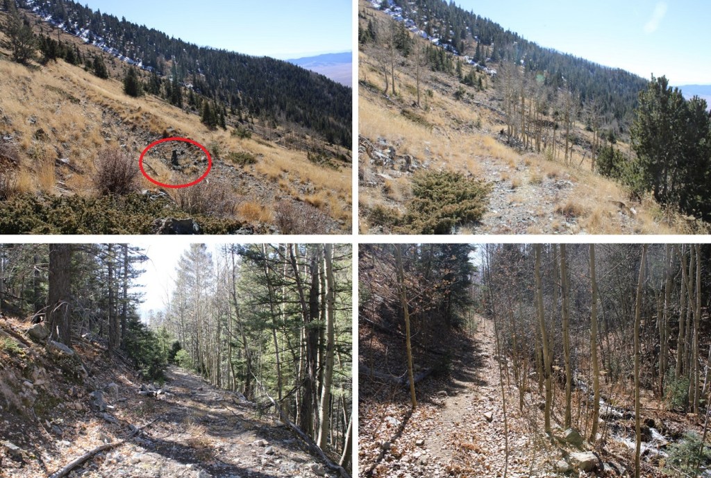
I followed the 4WD road east for about a mile and a half through scrub oak to the trees. CalTopo says this is road 985, but it isn’t marked anywhere.
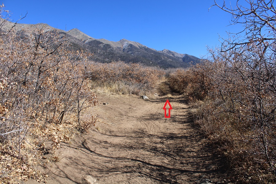
The roads here aren’t named. The only junction I came to I kept hiking straight.
If you plan on driving your vehicle all the way to the trees, there are several campsites just before and after entering the trees.
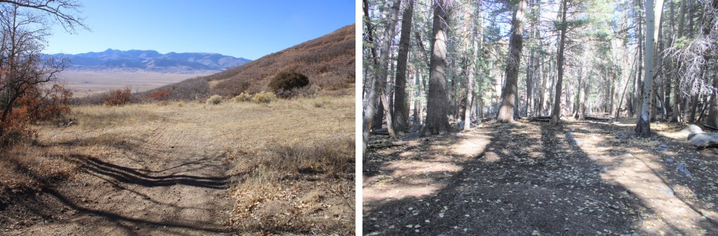
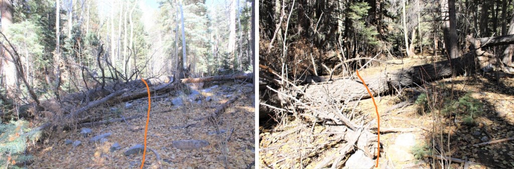
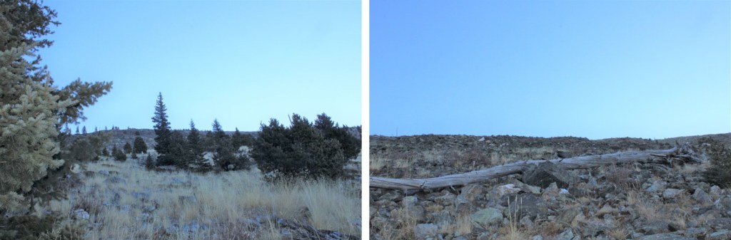
The road doesn’t end at the trees, but there are some very large pine trees that have toppled and block the road from sight. They make it look like the road ends, but if you scramble over the trees and aim north, you’ll run into the road again.
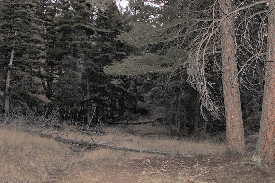
I followed the road northeast
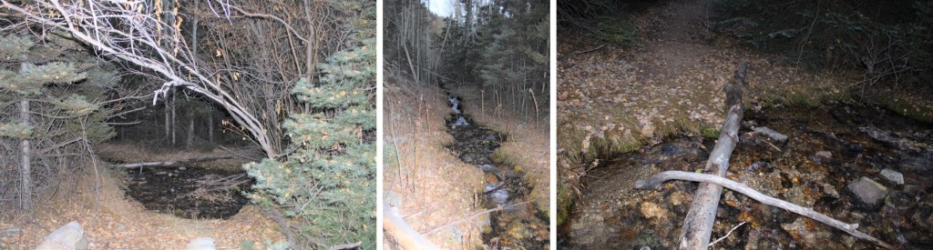
I crossed the stream 3 times
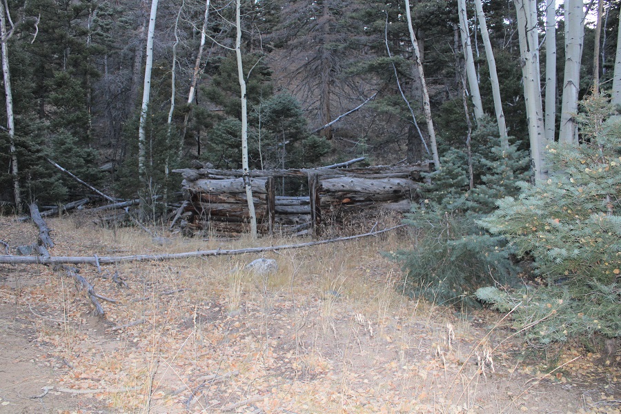
Passed the remnants of a cabin
And started switchbacking up the hillside, following the old road the entire time.

The road took me to treeline, where it ended. From where I parked my truck, it was 3.3 miles to the end of the road. If you hiked from Ferguson Creek, it would be about 4.5 miles to treeline.

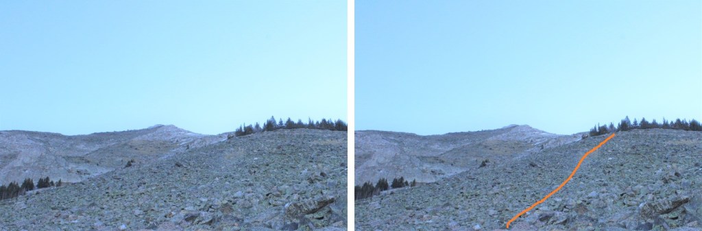
When the road ends at 10855’, there’s a cairn on a rock in the middle of the trail. This is where I turned right, and headed east towards Bushnell Peak.

This is where the intense elevation gain began. From treeline, I gained 2250’ of elevation in 1.25 miles to the summit of Bushnell Peak. I just kept heading east
Once on the ridge the wind picked up. I put on my balaclava and heavy mitts and kept hiking east, staying on the center of the ridge.
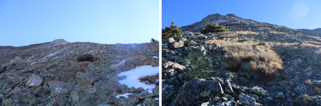
The terrain became rocky. These rocks weren’t too large, but they weren’t stable either.
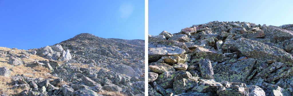
I came to some interesting rock formations, which I passed and continued up the ridge. This was class 2.

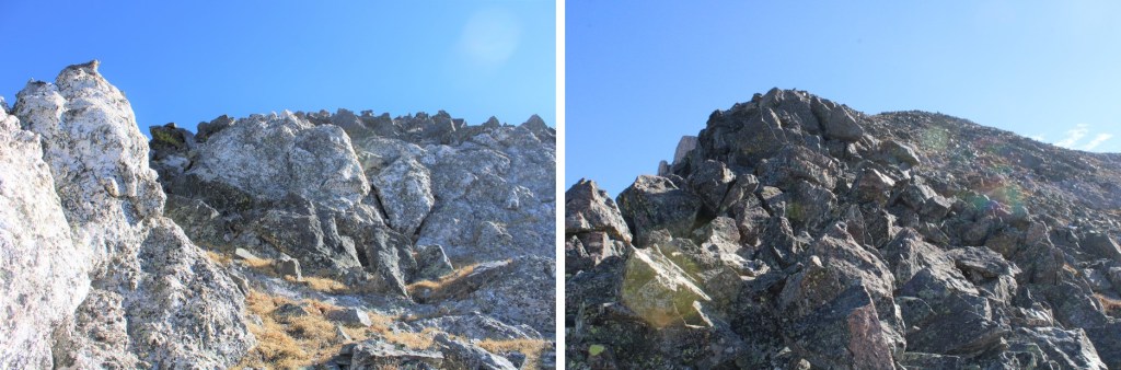
I stayed directly on the ridge all the way to the summit of Bushnell. It was class 3 at times, but only for short sections. I’m sure the summit could have been kept class 2 if I’d dipped to the right, but I was fine with a little class 3 scrambling (there are cliffs to the left).


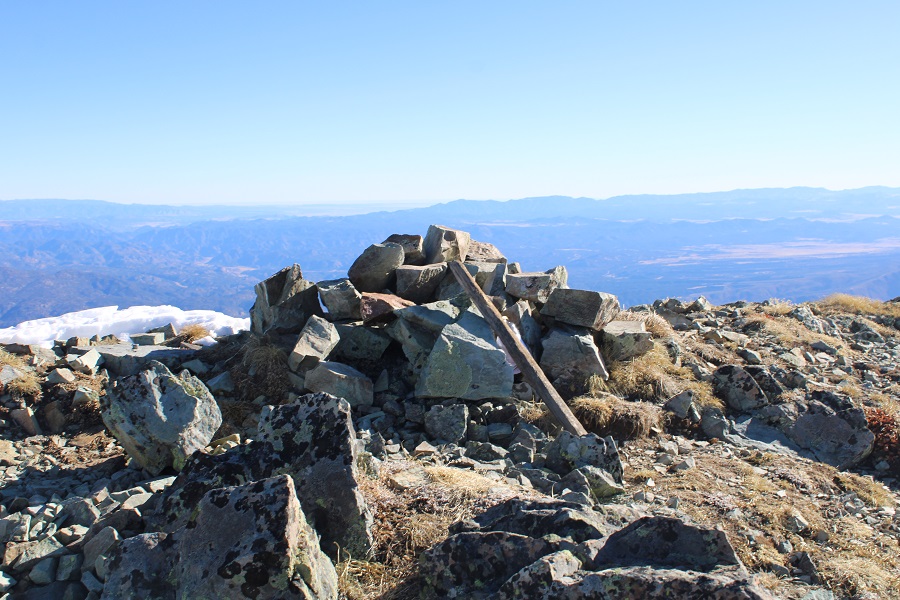
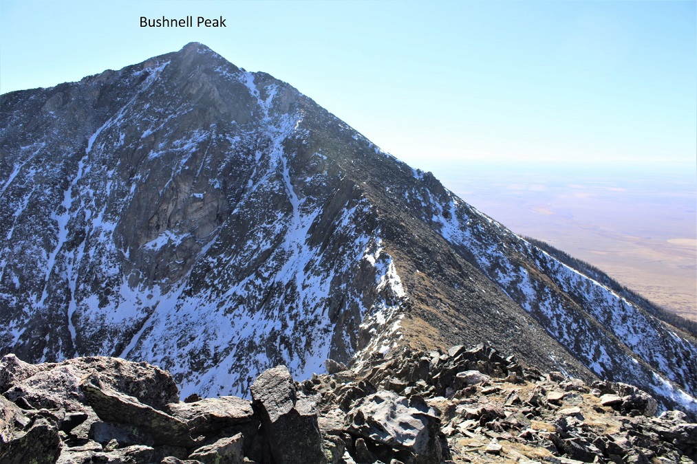
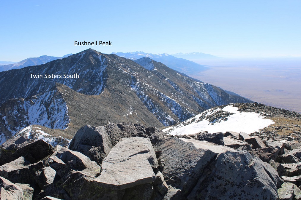
I summited Bushnell Peak at 9:30am
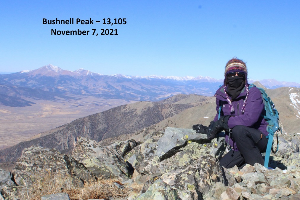
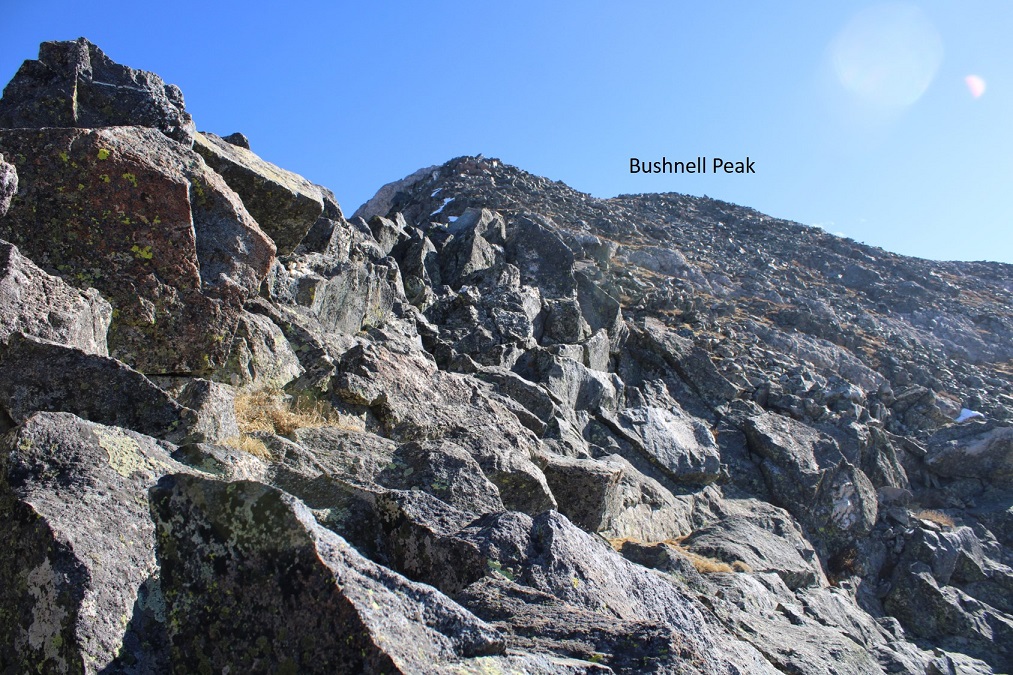
Bushnell Peak:
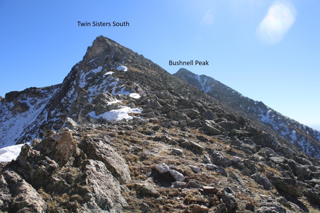
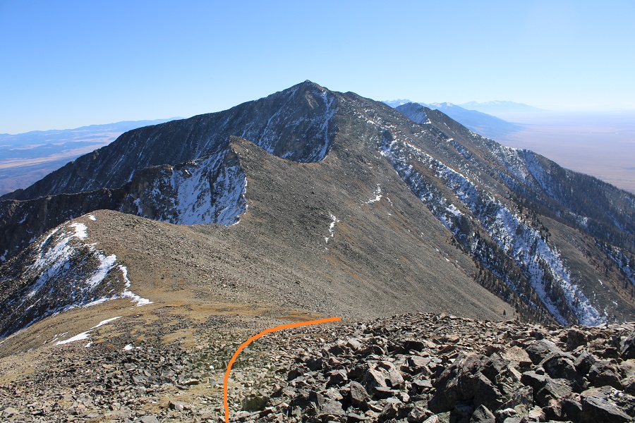
Now, on to Twin Sisters South (unranked) and Twin Sisters North. I could see them to the northwest. I retraced my steps down the ridge for about .2 miles, and then followed the ridge northeast to the Bushnell/Twin Sisters South saddle.
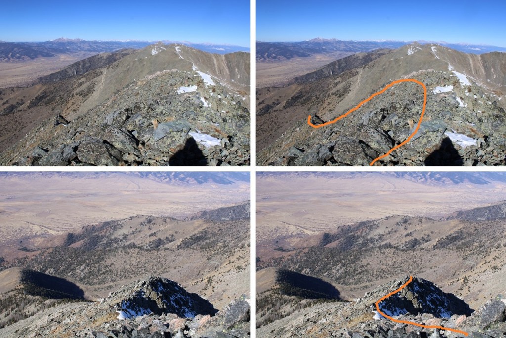
Here’s that class 3 section on the way down. I went straight up and over the top, but could have dipped to the left to keep it class 2.
Then I turned right and could see the Bushnell/Twin Sisters South saddle. This was all class 2, but with large rocks that were unstable, so I had to watch my footing. Here I lost 592’ of elevation to the saddle.
From the saddle I gained 213 feet to the summit of Twin Sisters South
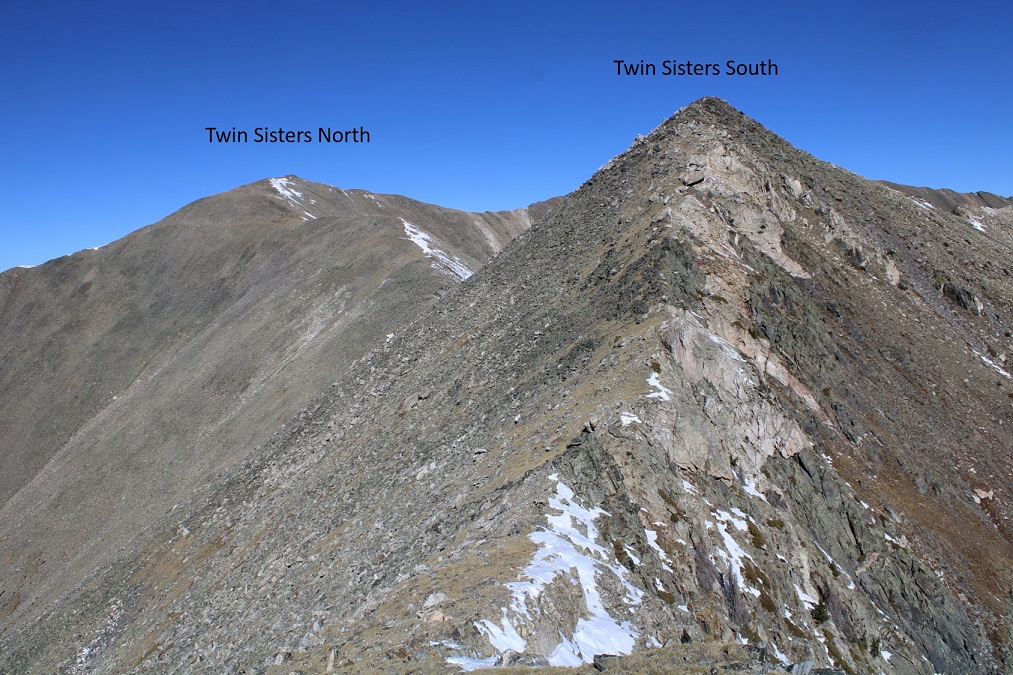
The ridge to Twin Sisters South was easy to navigate.

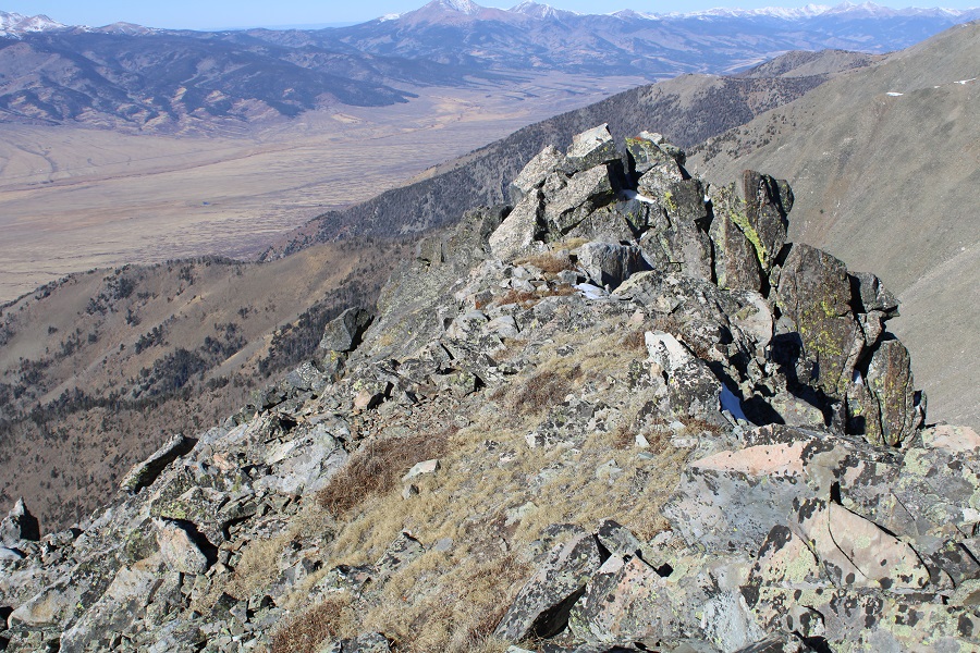
I summited Twin Sisters South, and turned around to look back at Bushnell Peak
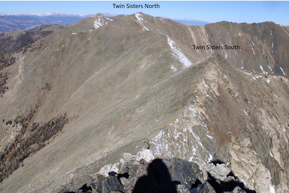
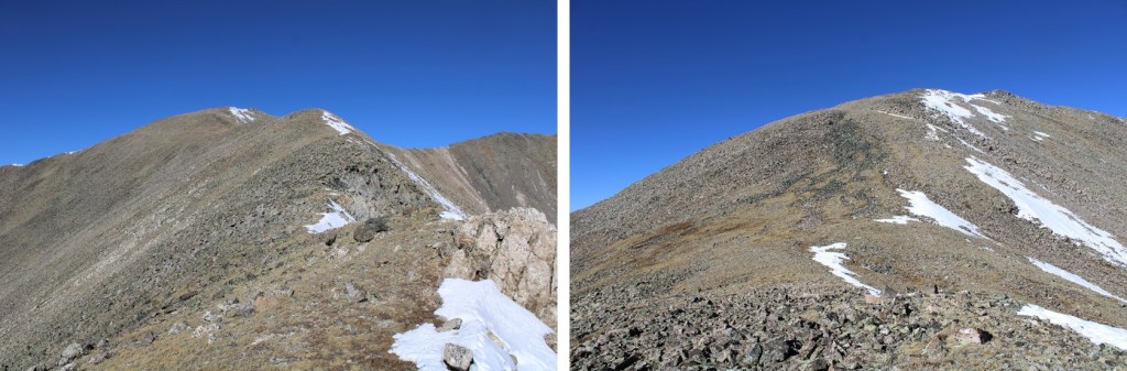
Then I continued following the ridge northwest towards Twin Sisters North, first losing 250’ of elevation to the Twin Sisters North/Twin Sisters South saddle. This was all class 2
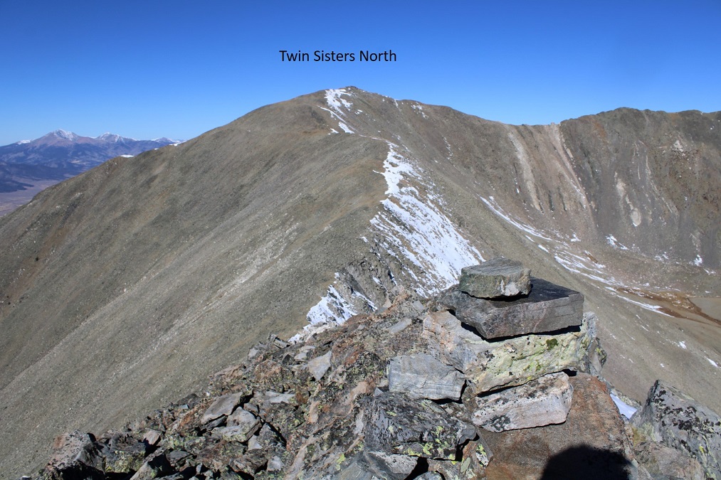
Here’s looking back at Twin Sisters South and Bushnell Peak from the Twin Sisters North/South saddle.
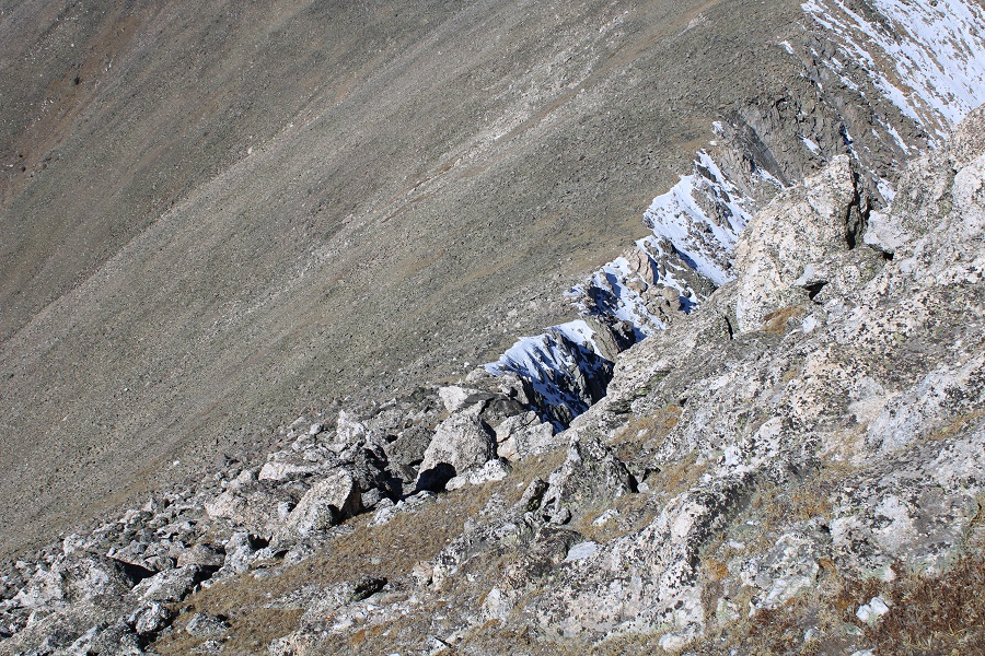
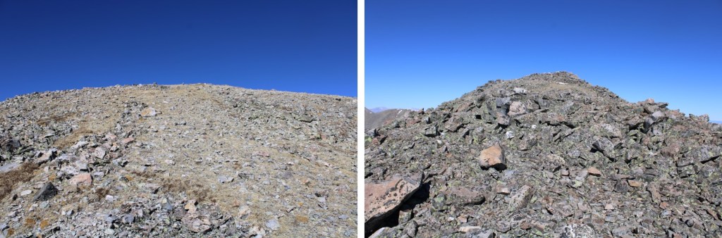
From the Twin Sisters North/Twin Sisters South saddle I gained 530’ to the summit of Twin Sisters North, mostly on tundra and small rocks. Here’s the overall route I took, still class 2.

Here are some closer pictures of the ridge
The summit was at the north end of the ridge
I summited Twin Sisters North at 11am
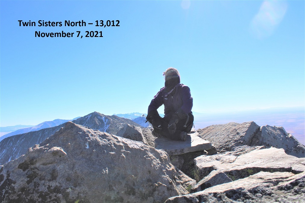
Twin Sisters North:
There was no summit register, so I left one, and headed back towards the Twin Sisters North/Twin Sisters South saddle. The wind still hadn’t let up, and I was anxious to get to a place without wind.
I didn’t go all the way to the saddle. Instead, at 12900’ I started descending south.
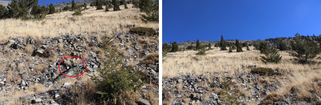
This area was steep, and filled with rolling talus. I aimed for the drainage, heading directly south. I could clearly see the road, and aimed for it as I descended (circled in red)
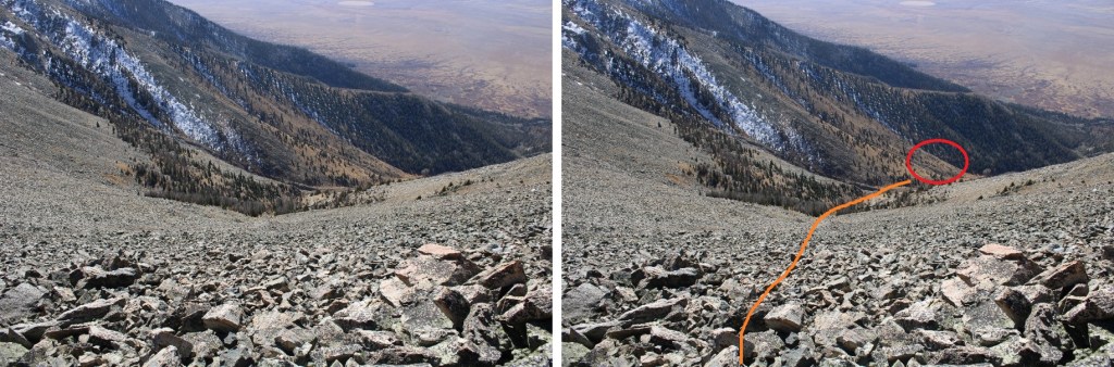
Once in the drainage, I followed it to where it joined with another drainage, crossed it, and aimed for the road, heading southwest

Here’s looking back up the gully I used as my decent route
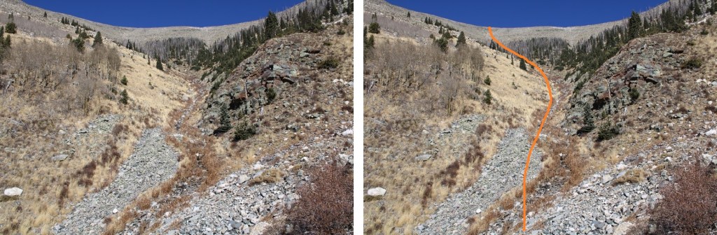
Once back on the road (cairn circled in red) I was finally able to take off my cold weather gear as I was now out of the wind. I followed the road southwest, back to my truck

I made it back to my truck at 1:30pm, making this a 10.07 mile hike with 5296’ of elevation gain in 7.5 hours