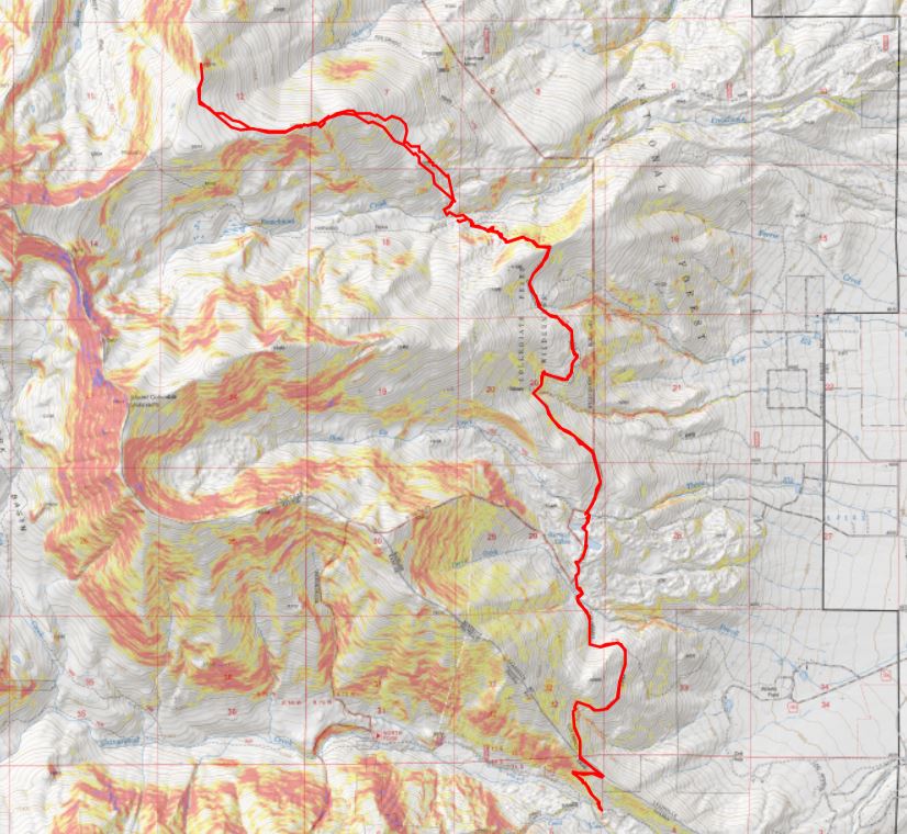
RT Length: 19.77 miles
Elevation Gain: 5178’
I’ve spent the past week in Florida for work, so I was a little worried about breathing above treeline today. I made it to the Harvard Lakes trailhead easily, as there wasn’t any snow on the ground (and it’s December!). I parked and was on the trail at 5am. I was following the Colorado Trail north.
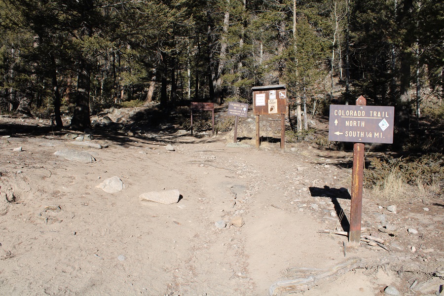
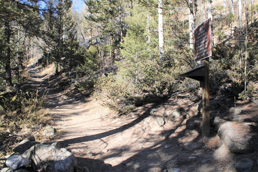
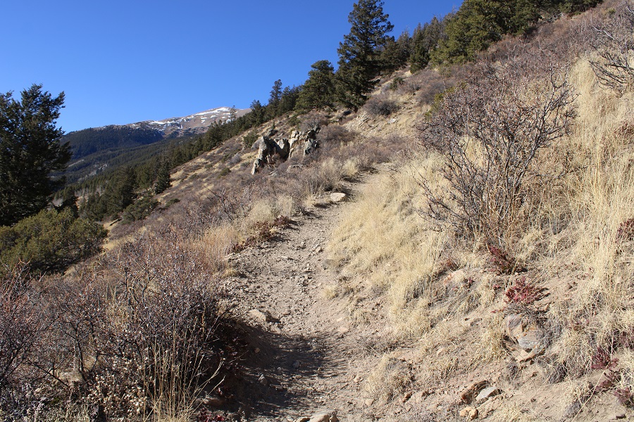
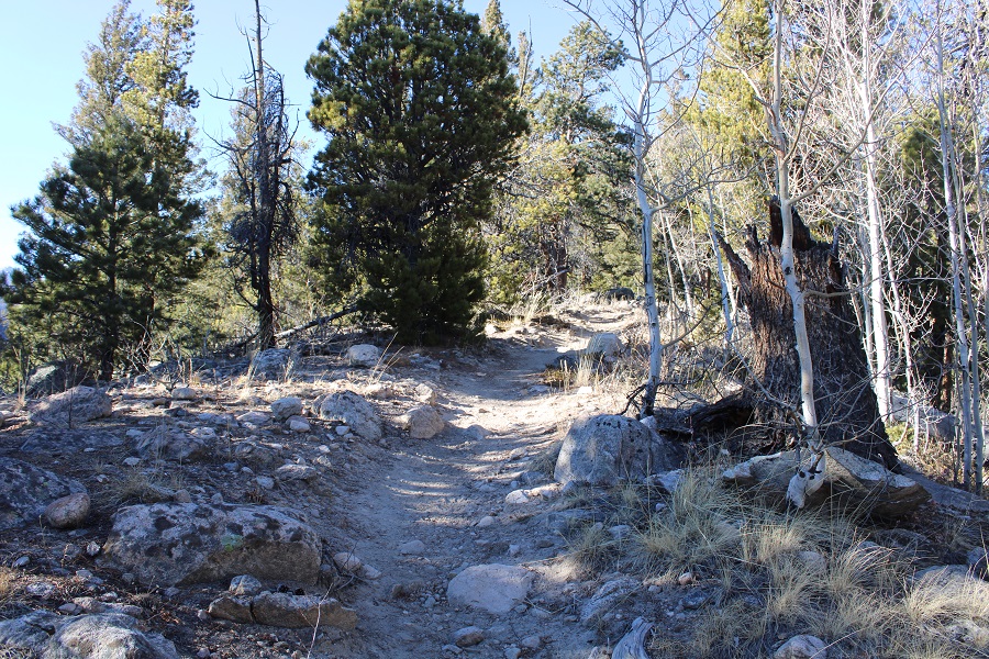
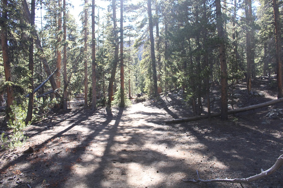
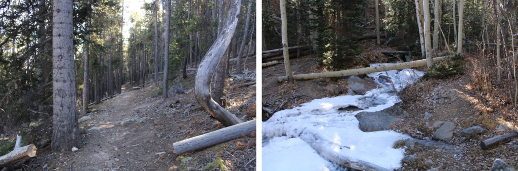
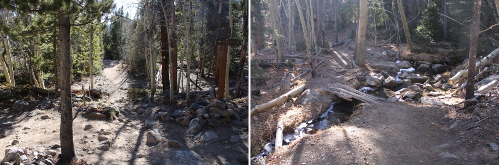
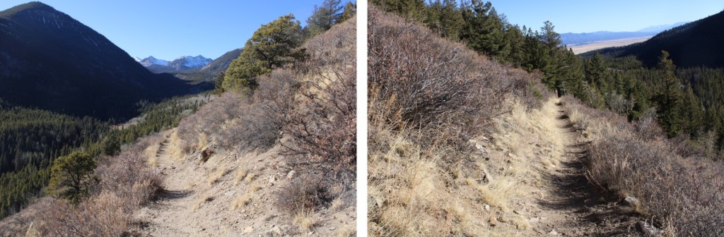
The first 7 miles of this trail follows the Colorado Trail. The Colorado Trail is an easy to follow, class 1 trail. It started with a few switchbacks, and then followed the curve of the mountainside north.
After hiking for 3 miles I came to Harvard Lakes. They were both frozen and looked neat in the dark. Later in the day I saw people walking across both lakes. They didn’t seem frozen enough for that to be safe.

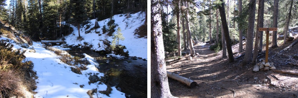
There were several, easily crossable stream crossings along the trail

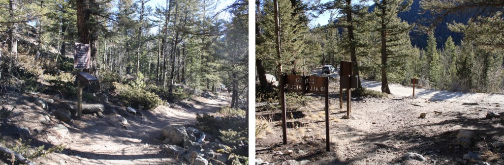
After hiking for 6 miles I briefly lost about 250’ of elevation, which led me to a trail junction.
The junction was between the Frenchman Creek Trail (Harvard Trail on a topo map) and the Colorado Trail. I continued along the Colorado Trail

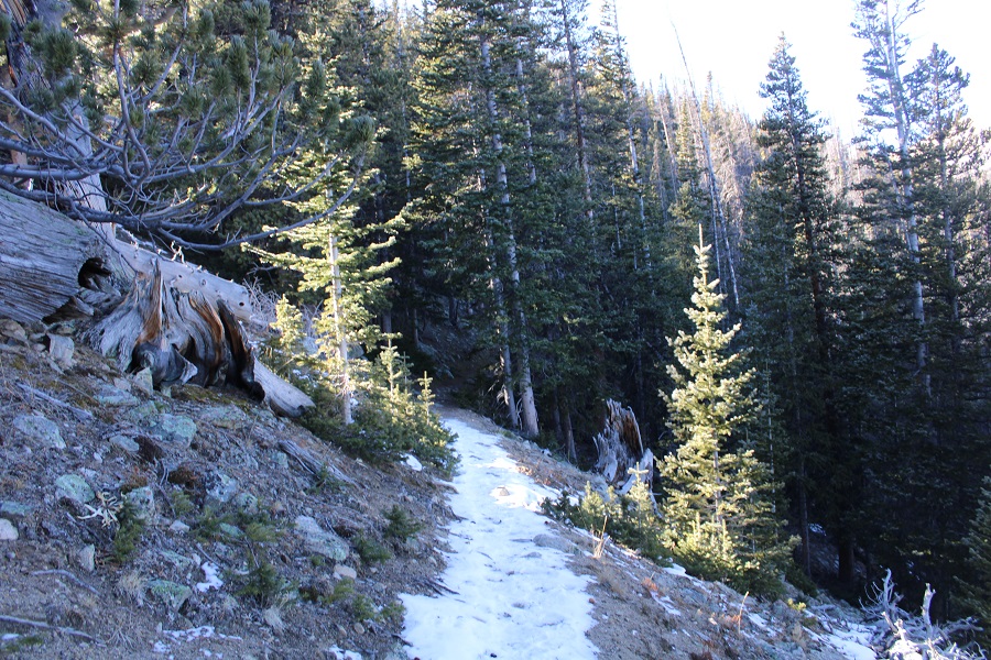
I crossed Frenchman Creek. There were no tracks in the snow past this point, but there wasn’t much snow to begin with. It didn’t look like anyone had been on this part of the trail in a while.

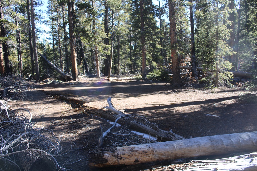
I quickly came to an area with several camping spots at 11150’. I’d been hiking for a total of 7.15 miles.
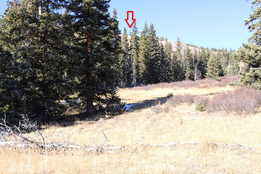
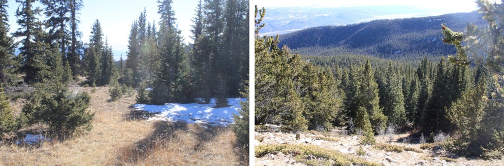
Here I left the trail and headed northwest to the ridge.

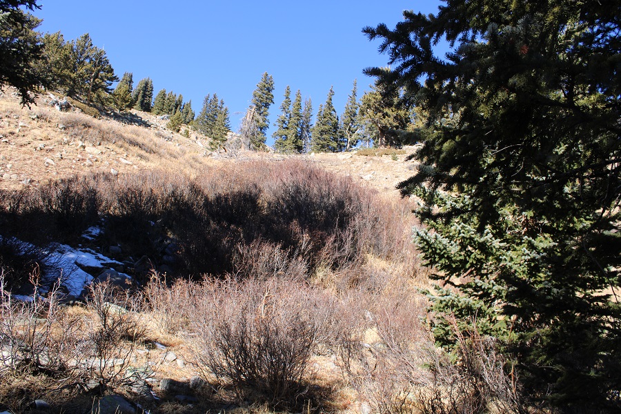
I bushwhacked to treeline. This was easy as far as bushwhacking goes, as there weren’t too many downed trees and the trees weren’t jumbled close together.

At treeline I could see the ridge, and headed towards it

I skirted the ridge a little to the left

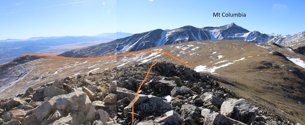
Once on the ridge I followed it west


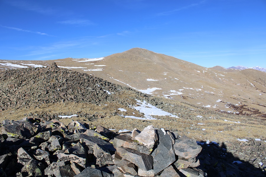
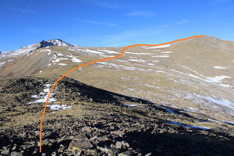
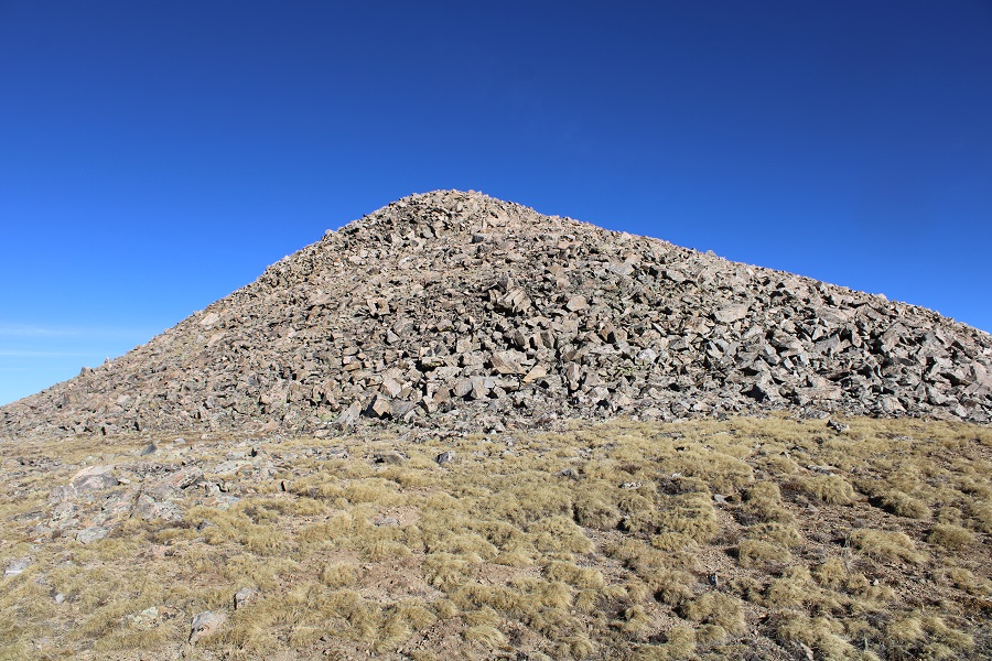
I came to a rocky, cairned area, and could see the route before me to PT 13374.
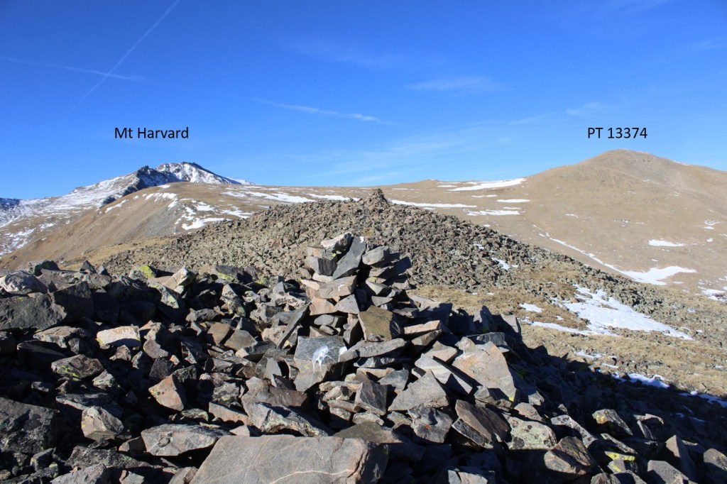
I crossed the rocky area, and followed the tundra to PT 13374, easily avoiding the snow

Here are some pictures of the final push to the summit


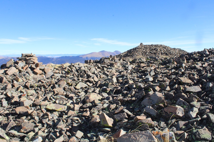
I summited PT 13374 at 8:45am

PT 13374:
There was a summit register (in a tube). It was such a nice day I opened it and signed the register. I then turned and retraced my steps back to the ridge.


I then followed the ridge back to treeline


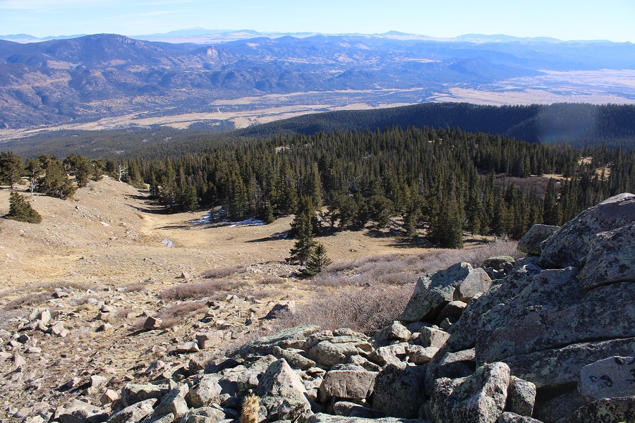
At treeline I aimed southeast and bushwhacked it back to the Colorado Trail

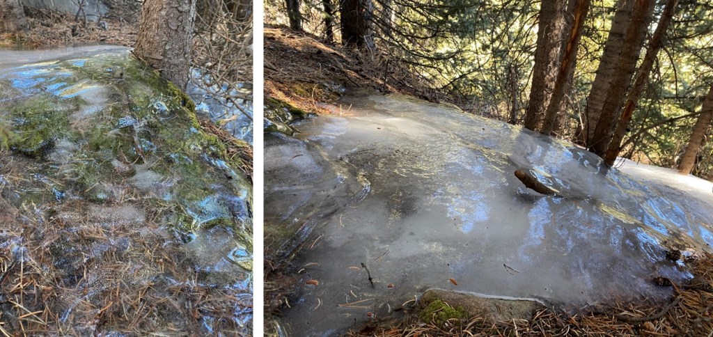
There’s surprisingly little snow for this time of year, but it’s still cold outside. There were several areas of frozen water below treeline that looked really cool.
I made it back to the Colorado Trail, and followed it for 7 miles south, back to the trailhead

I made it back to my truck at 2pm, making this a 19.77 mile hike with 5178’ of elevation gain in 9 hours. Today seemed almost too easy: the gradual elevation gain made the miles fly by.