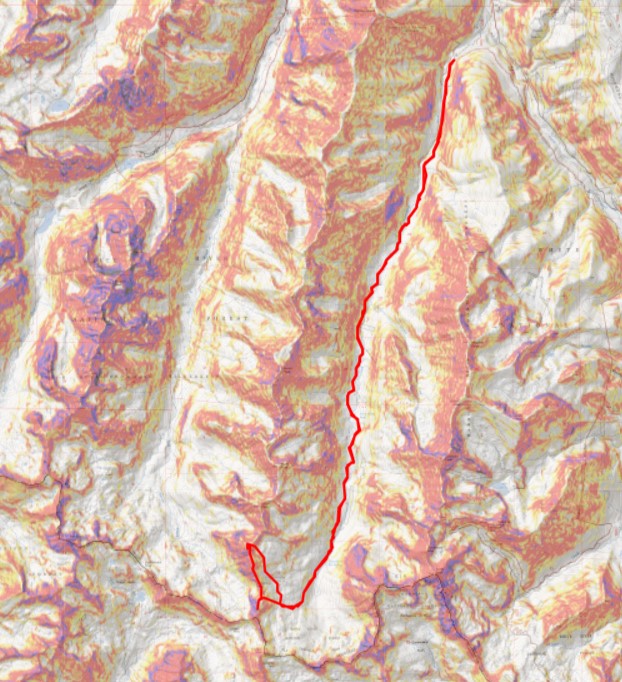
RT Length: 25.61 miles
Elevation Gain: 5474’
Due to weather issues, I did this as a multi-day trip. Due to permit issues, I camped just before the camping permit boundary for Conundrum Hot Springs (worked fabulously!!!). My stats are taken from several GPX files meshed together.
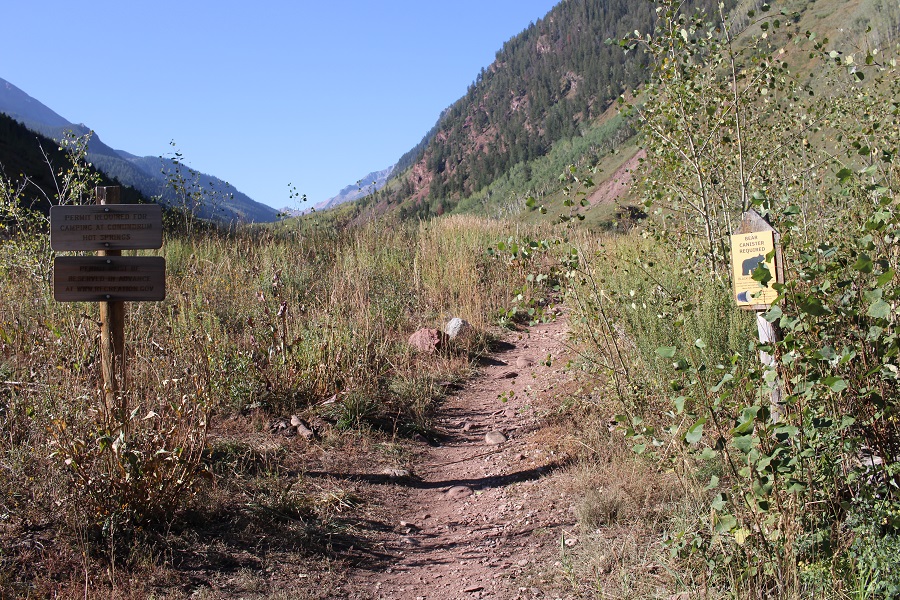
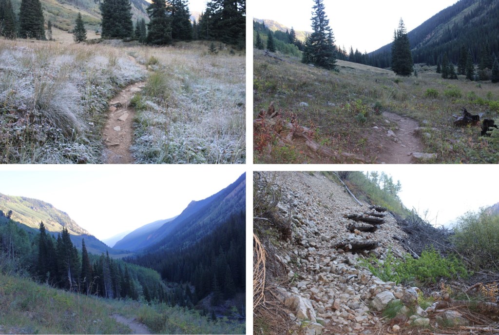
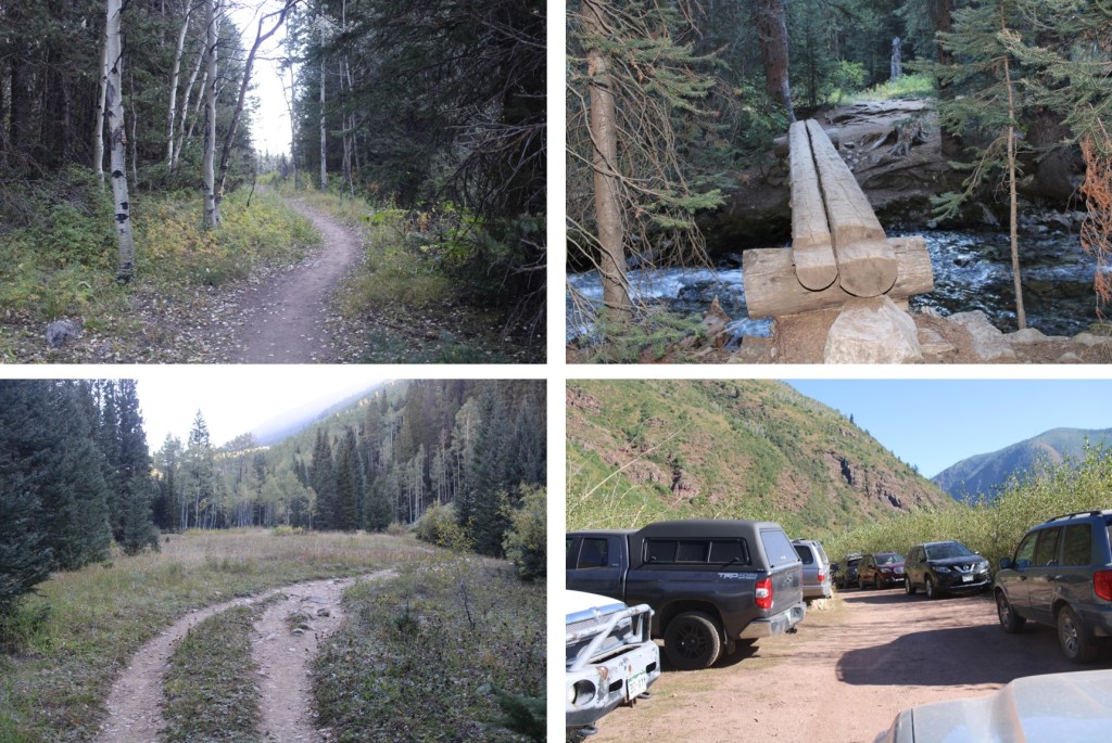
I started from the Conundrum Hot Springs Trailhead at 4:45am, after a quick nap on Independence Pass after a long drive and a long day. Here’s the trailhead:

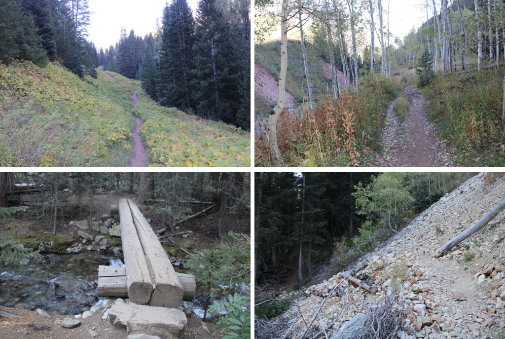
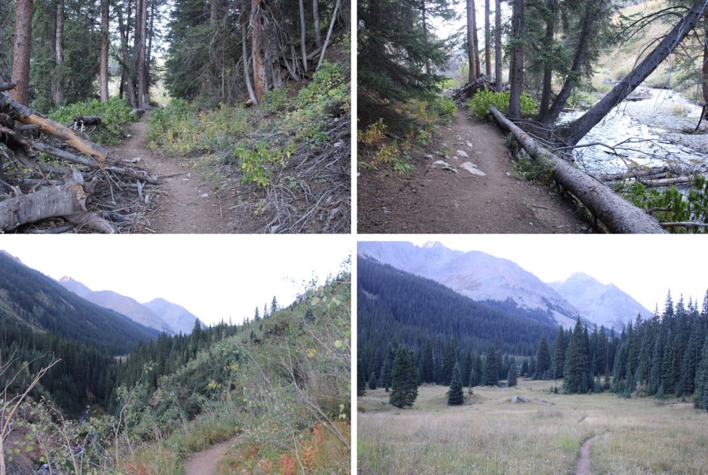
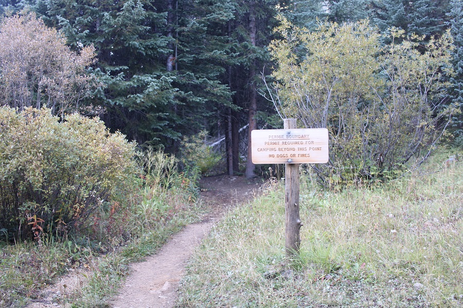
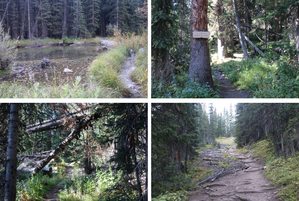
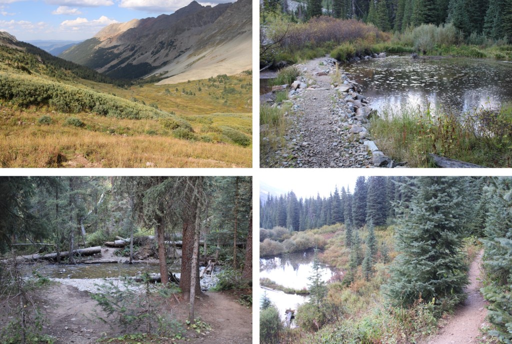
I followed the class 1 trail for 6 miles to the permit boundary, which is noted by a very visible sign.
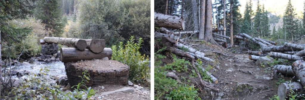
It was obvious this is a popular camping spot (just before the permit boundary). There are a lot of social trails that lead off into the trees as well for campsites, if you don’t want to camp right next to the sign. While I saw a US Forest Service truck in the parking lot, I didn’t see a service member all weekend. Also, I’m not advocating anything negative here: I understand why they have the permit system, I just think permit systems aren’t well implemented. For example: I couldn’t get a permit for this weekend, yet more than half the reserved sites were empty THE ENTIRE WEEKEND. Here’s where I camped. It’s relatively close to the stream, which is great for filtering water

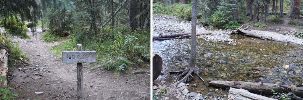
I set up my tent, as I planned on being here for a few days, and was on the trail again by 8am. The trail is still class 1, and crosses Conundrum Creek several times. All creek crossings were easy.
After about 2 miles I came to the Conundrum Hot Springs campsites, an old abandoned cabin, and more small creek crossings. I took the trail to the right towards Triangle Pass
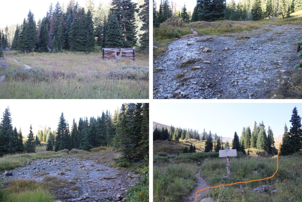
I was now still on Trail 1981, headed southwest, into the willows

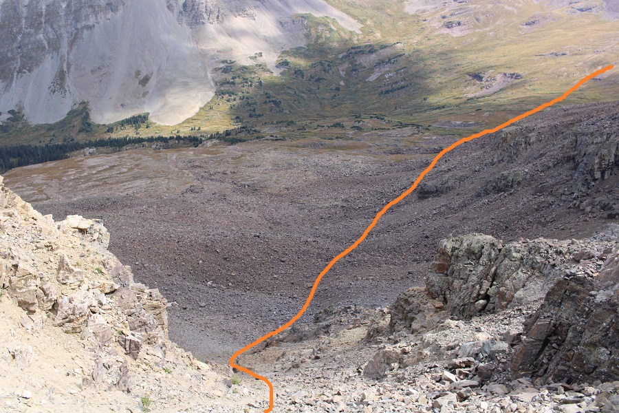
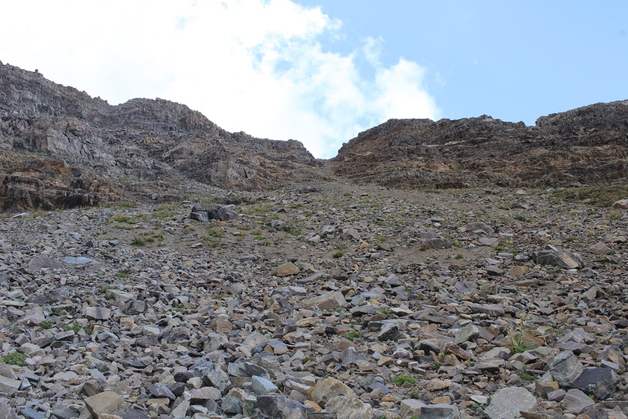
At 12000’ I left the trail, and followed a drainage west
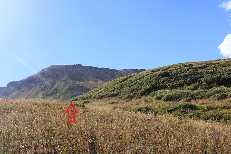

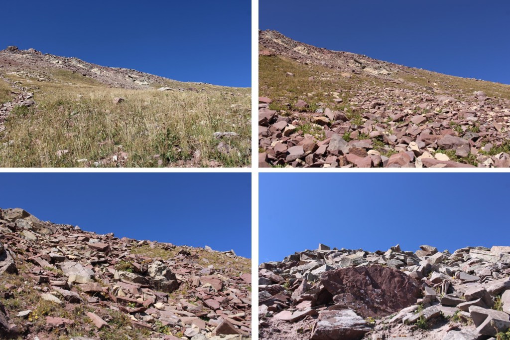
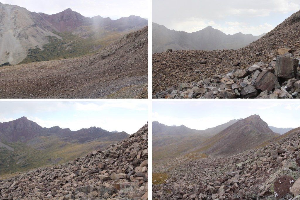
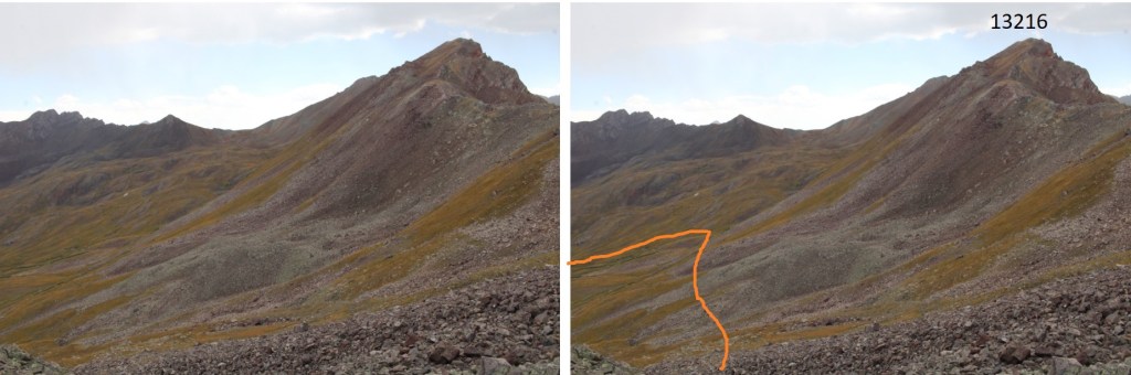
Now it was time to gain the ridge of 13216.
This is the route I took

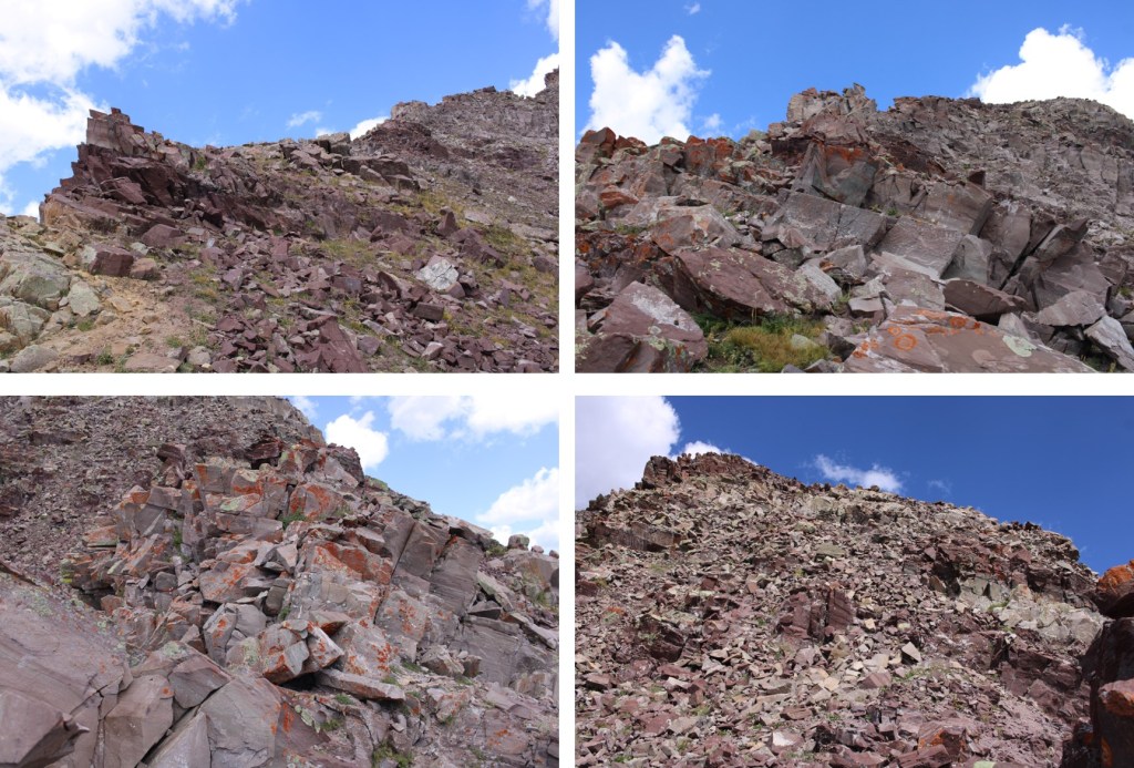
And some step-by-step pictures. This was all class 2
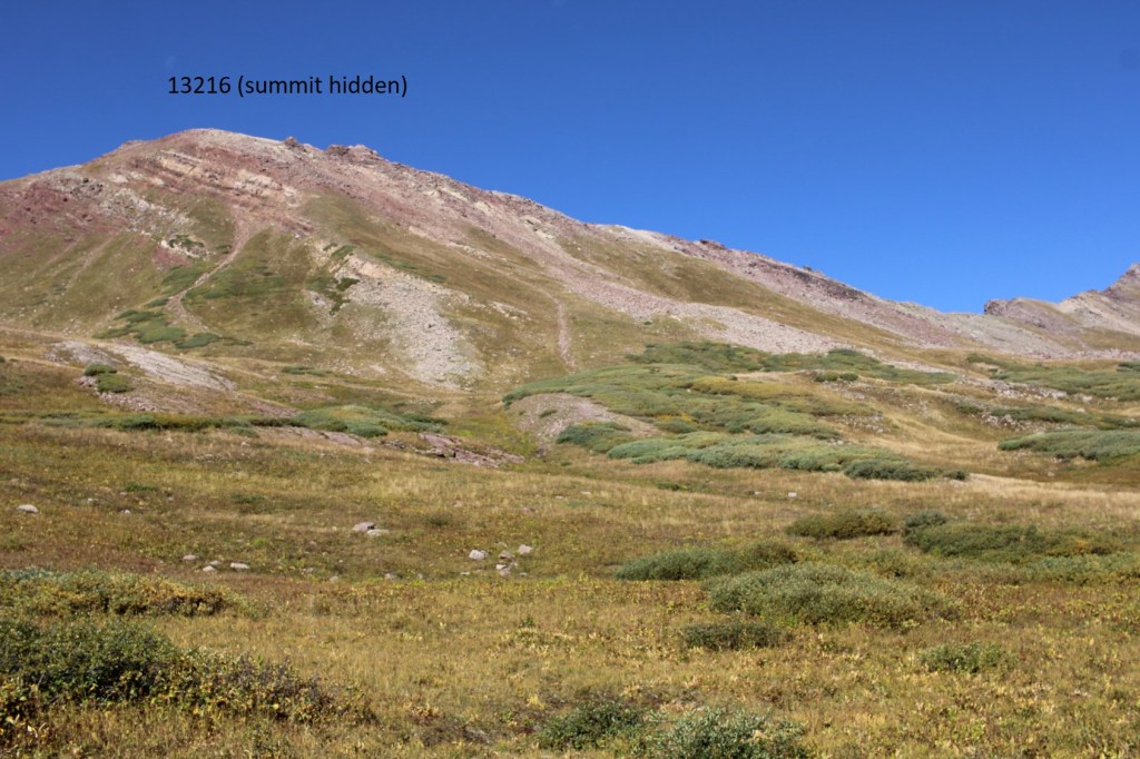
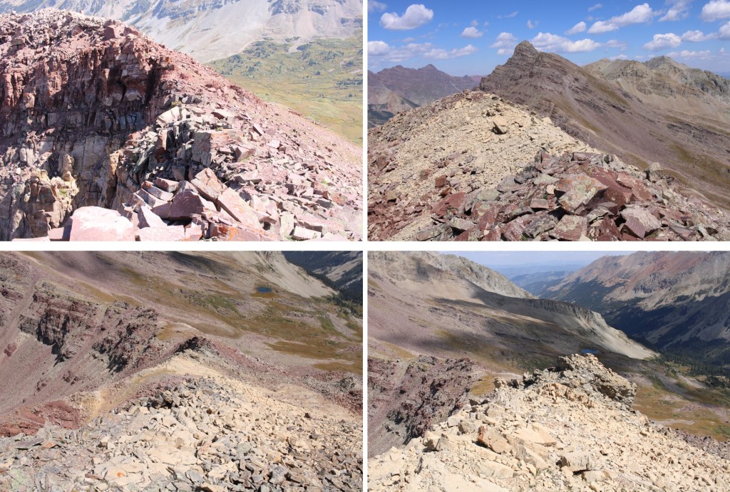
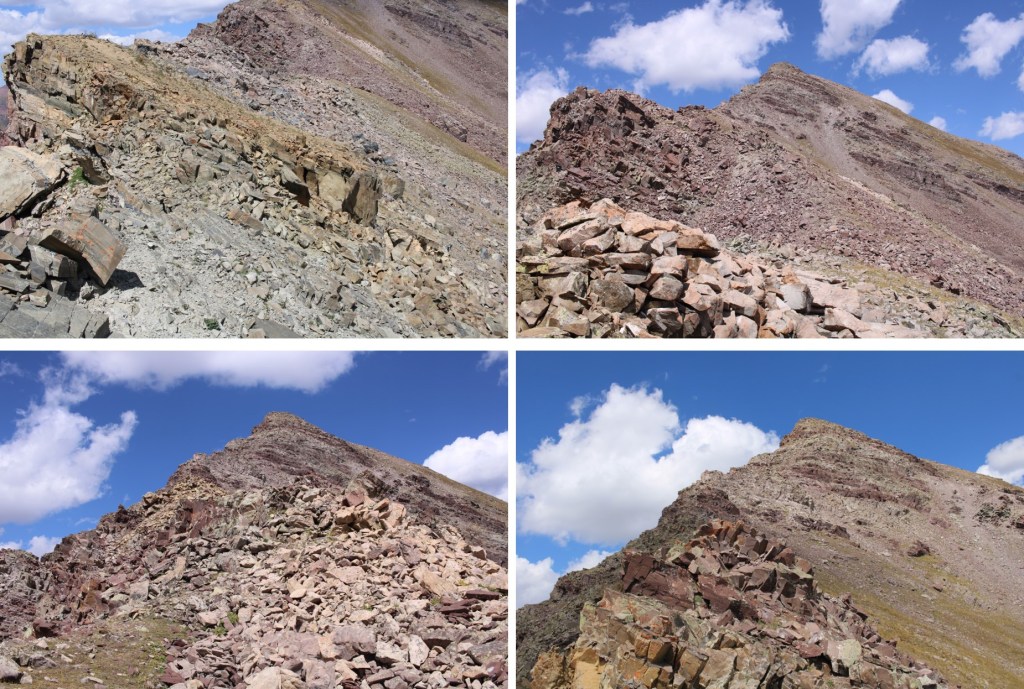
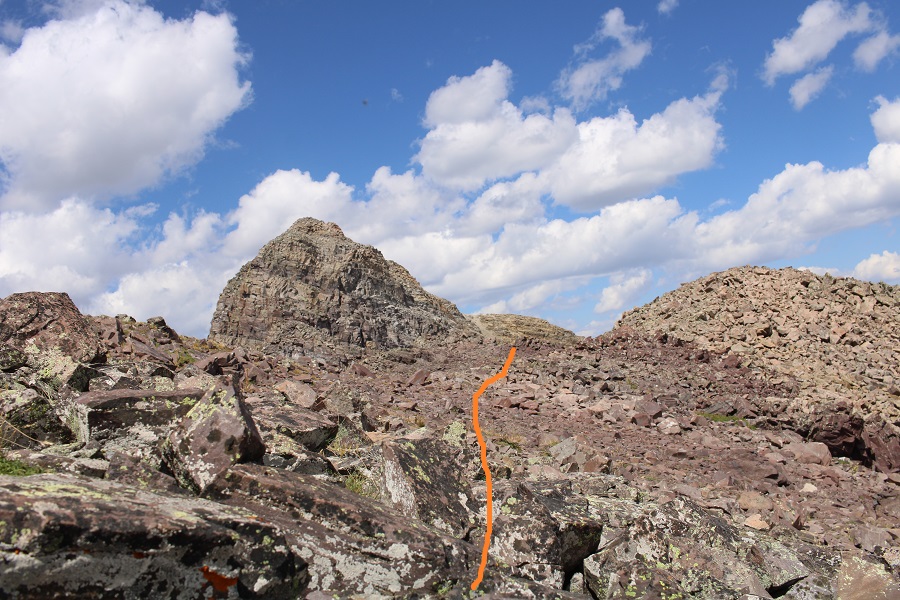
When I made it to the ridge I turned left, and was surprised to find it wasn’t a straight shot to the summit. I followed the ridge south

And was surprised once again to find this wasn’t the summit either. It was a little further to the southwest.
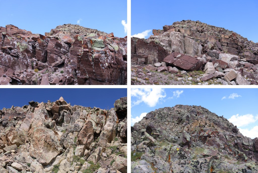
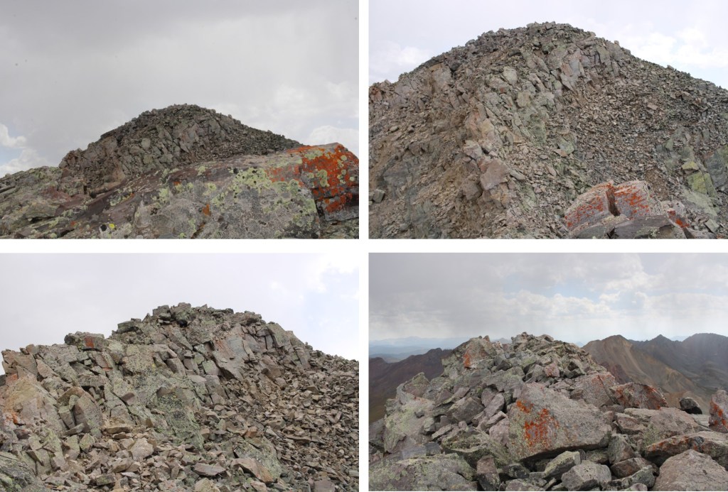
It was all class 2 to the summit

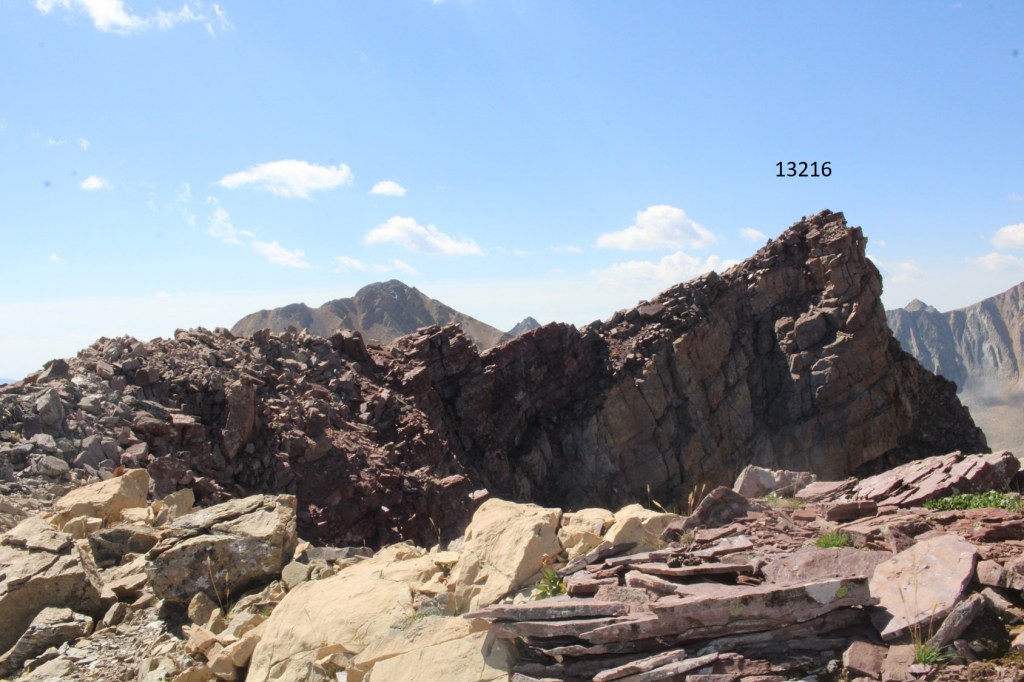
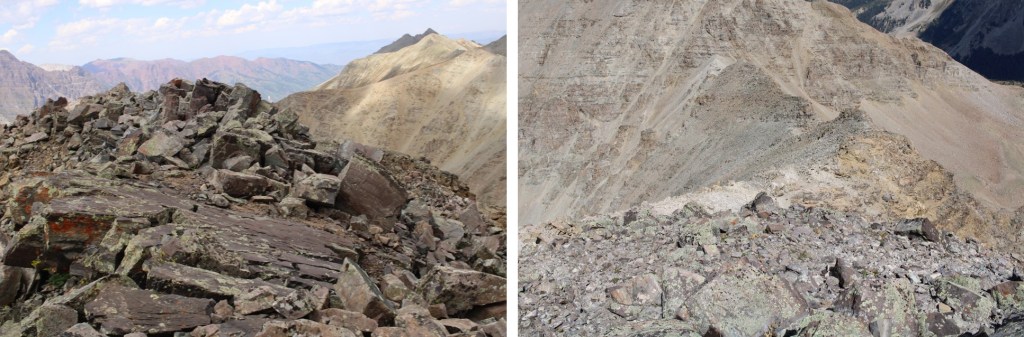
I summited 13216 at 11:40am
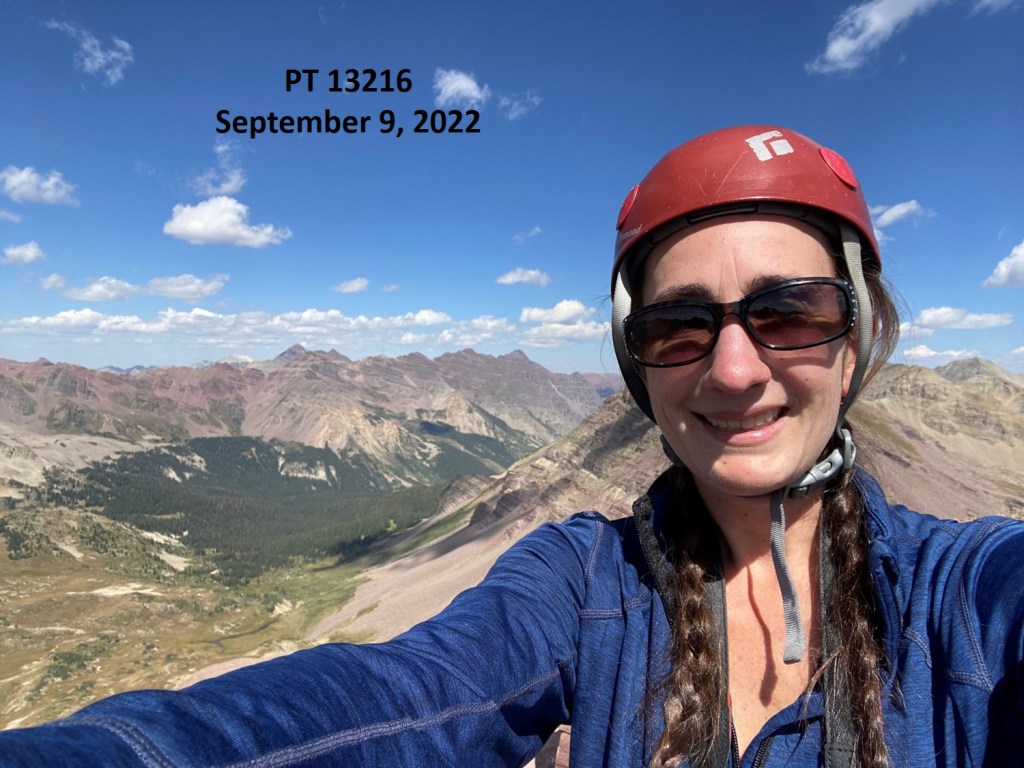
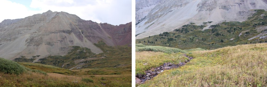
PT 13216:
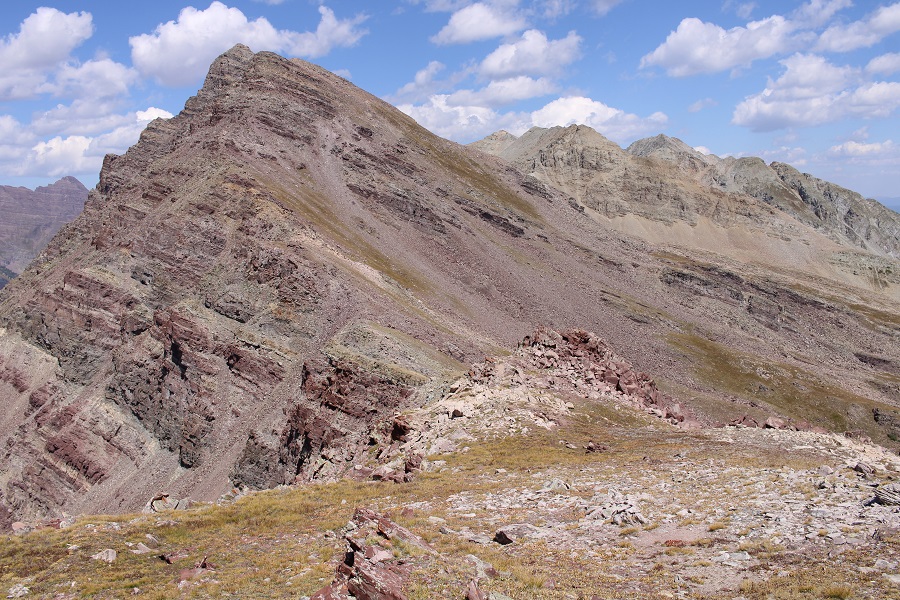
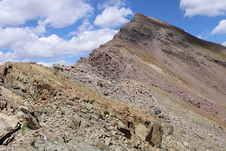
My next goal was 13537, to the north

I followed the ridge over Conundrum Pass, all class 2 to the pass
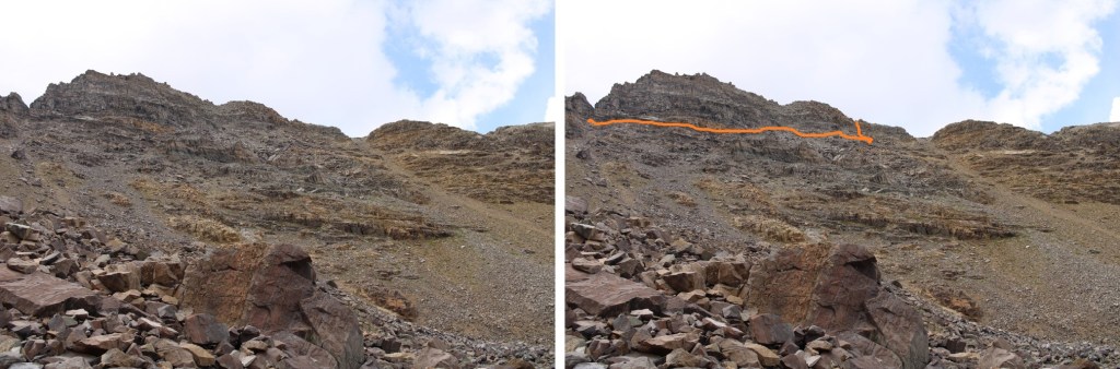
Once at Conundrum Pass/13216-13537 saddle, the route became a class 3 scramble. From my visual it looked like a straightforward scramble up the ridge, all the way to the summit, but what I couldn’t see was a dip in the ridge. I started my scramble up.
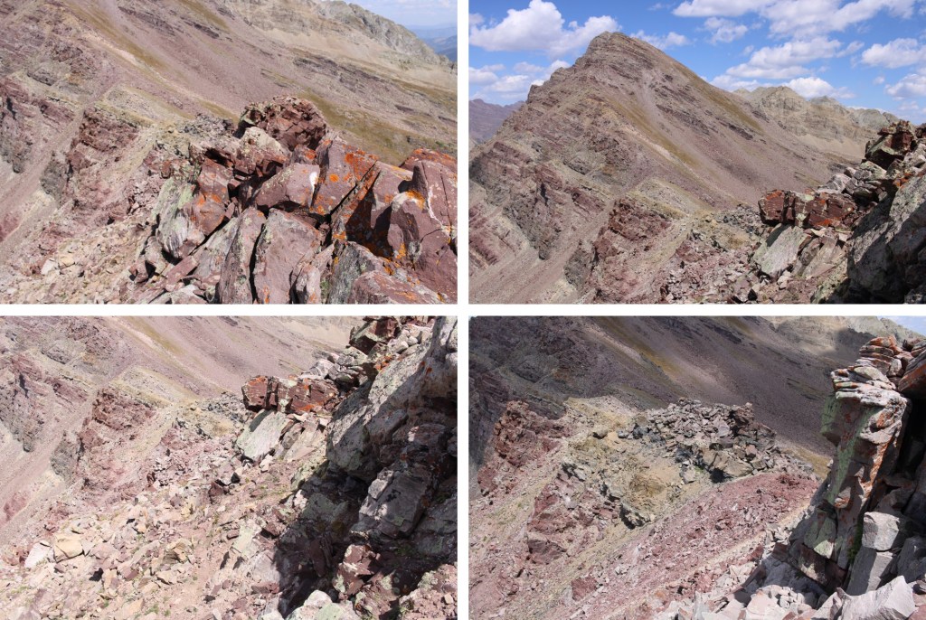
I came to a false summit, and noticed I could no longer climb up: I’d need to parallel the ridge and summit from the other side.
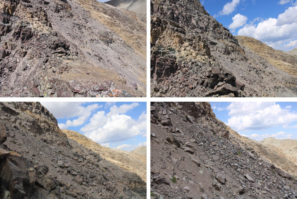
Here’s where I made a mistake. I tried to traverse over to the other ridge too high: I should have dropped down a few hundred feet, then re-ascended via the obvious gully. The route I took was sketchy class 4. Everything was unstable, rocks moved, and the scree was solid dirt with kitty litter sitting on top. I would not recommend the route I took. From below, this is the route I took.
And here are some pictures of that route. Once again, I’d recommend dropping down further and ascending via the gully. My microspikes saved me here.
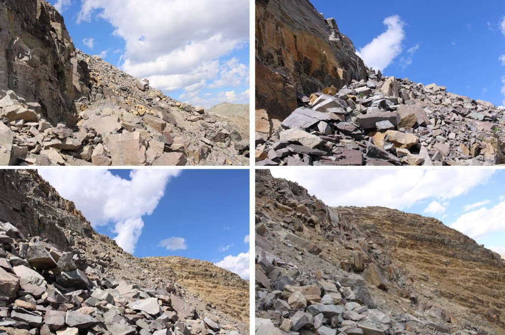
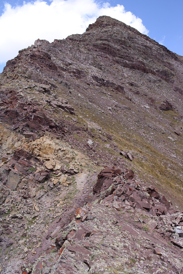
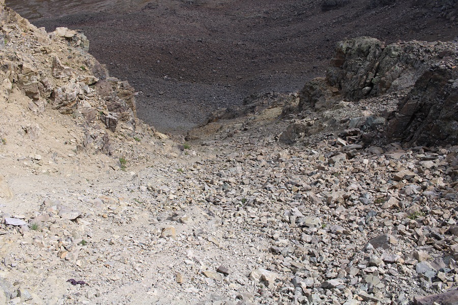
Eventually I came to a gully that looked like it went. I was tired of the terrain I’d been traversing, and welcomed the gully, only to find it was just as bad. Large loose rocks, hard dirt, kitty litter, etc. I headed towards the ridge.

Once on the ridge I turned left, and followed it south to the summit
I summited 13537 ay 2pm
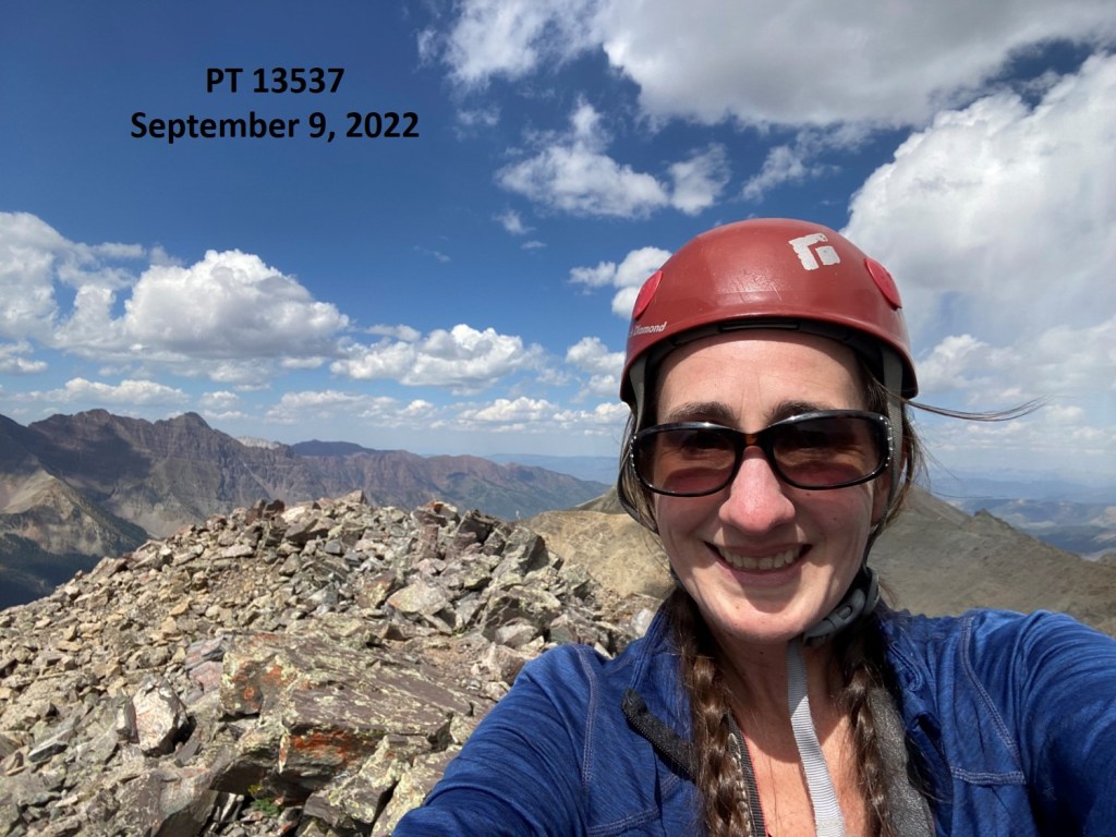
PT 13537:
Originally, I’d planned on doing the entire traverse, but I could see clouds moving in. Indeed, it started snowing and hailing on my decent, so it had been a good idea to call the ridge for the day and head back to camp. But I didn’t want to take the same route I’d taken in, because I felt it was too sketchy to repeat. Instead, I decided to walk north down the ridge to where I’d seen the gully earlier, and descend that way.
Here’s a look down that gully
And my route back into the basin
The gully was much steeper than it looked. I was glad I had on my microspikes.
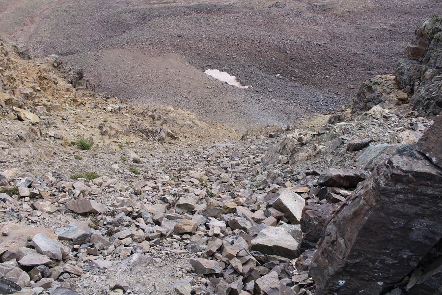
From below, here’s a look up that gully. It goes all the way to the ridge.
And now, to make my way back to the trail. I aimed southeast, doing my best to avoid the large rock bands
When I could see PT 13216, I stayed high, and then descended via the same drainage I’d come in on.
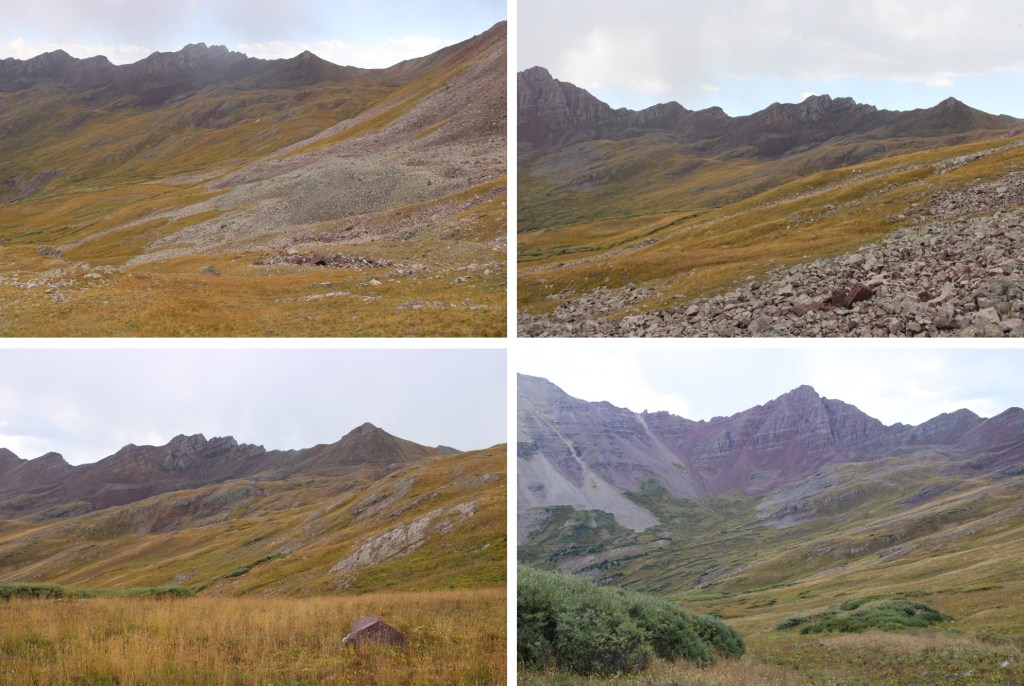
Back on Trail 1981, I followed it northeast, back to my campsite.

I stayed there for the night, but here are some pictures of the 6 mile hike out to an overflowing trailhead full of vehicles.
And my topo map