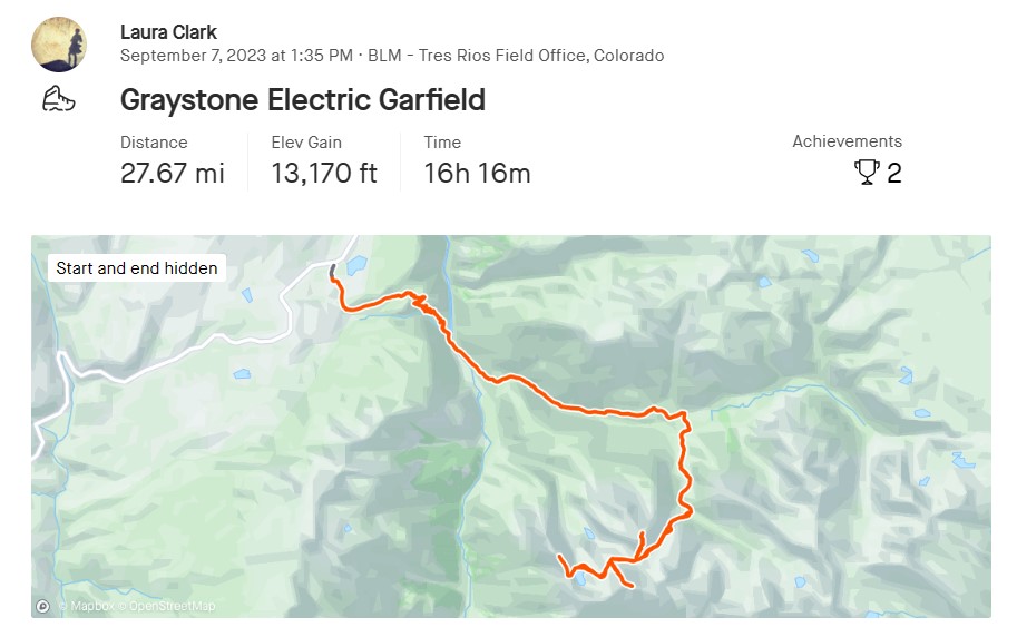
RT Length: Varies depending on route (see below)
Elevation Gain: Varies depending on route (see below)
This is a three-trip-report peak for me, so my numbers are all splattered together. I had an idea this peak would take me several attempts to get, so I came prepared and brought my backpacking gear. I’m going to give you the three reports as they happened. I found a way to make this a class 4, 3, or 2 peak. You can choose your route. Either way, the approach to the place I camped in the upper basin is the same.
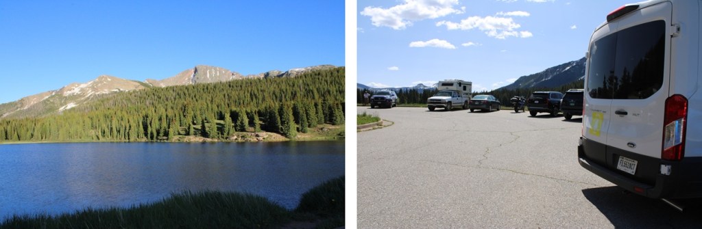
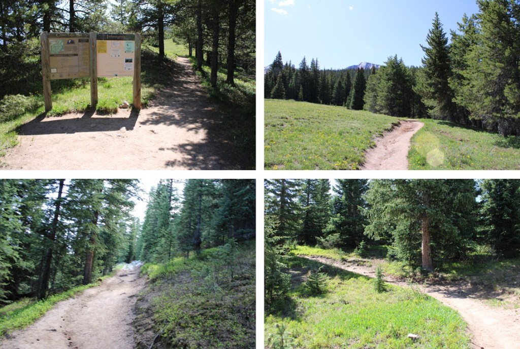
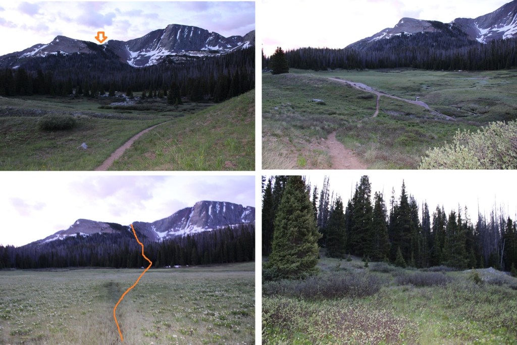
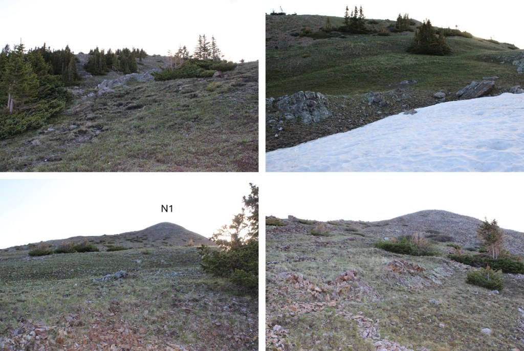
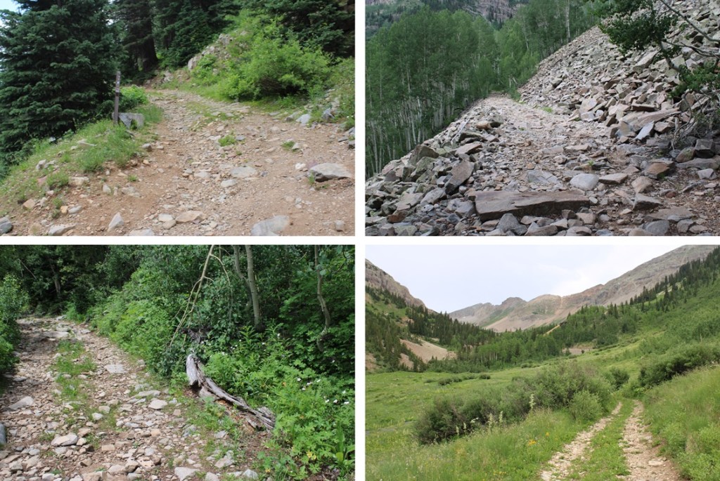
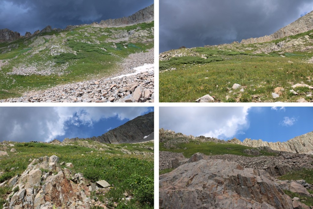
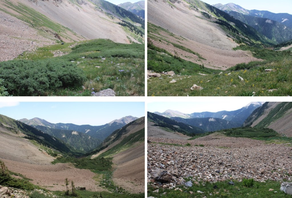
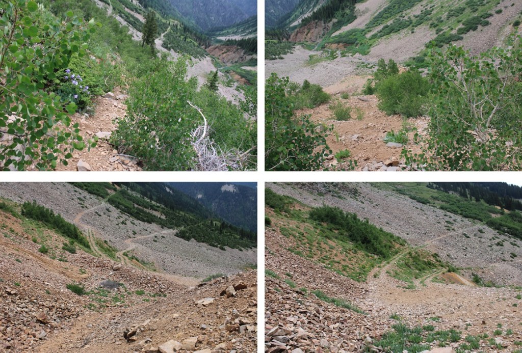
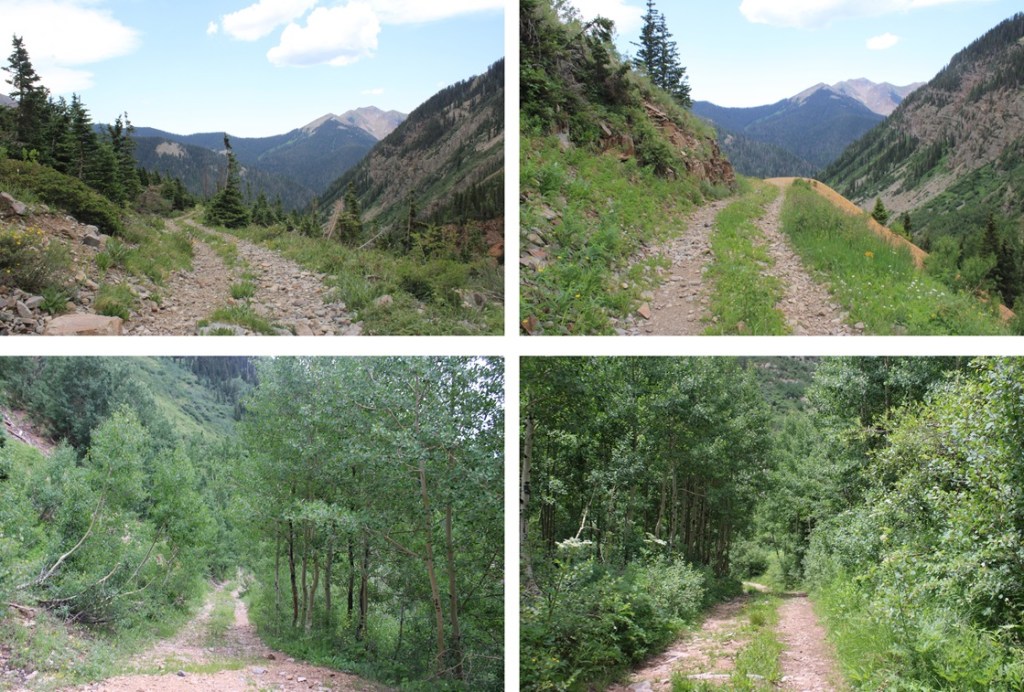
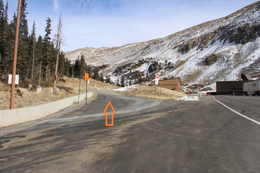
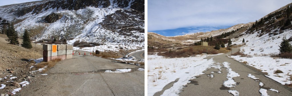
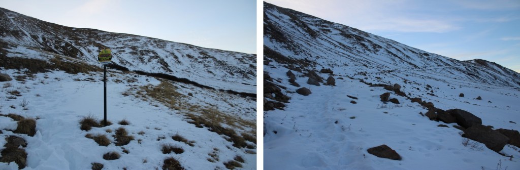
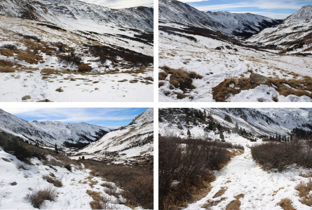
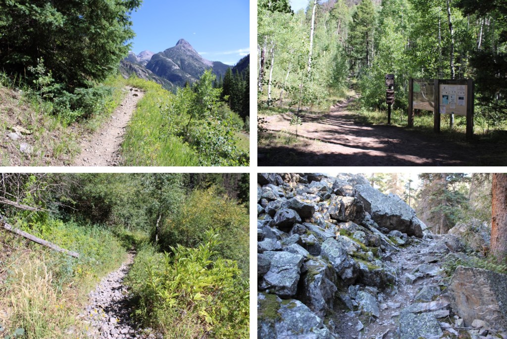
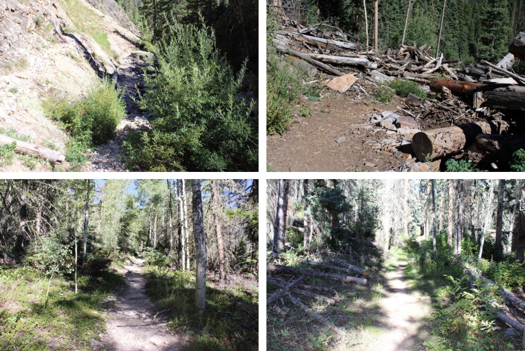
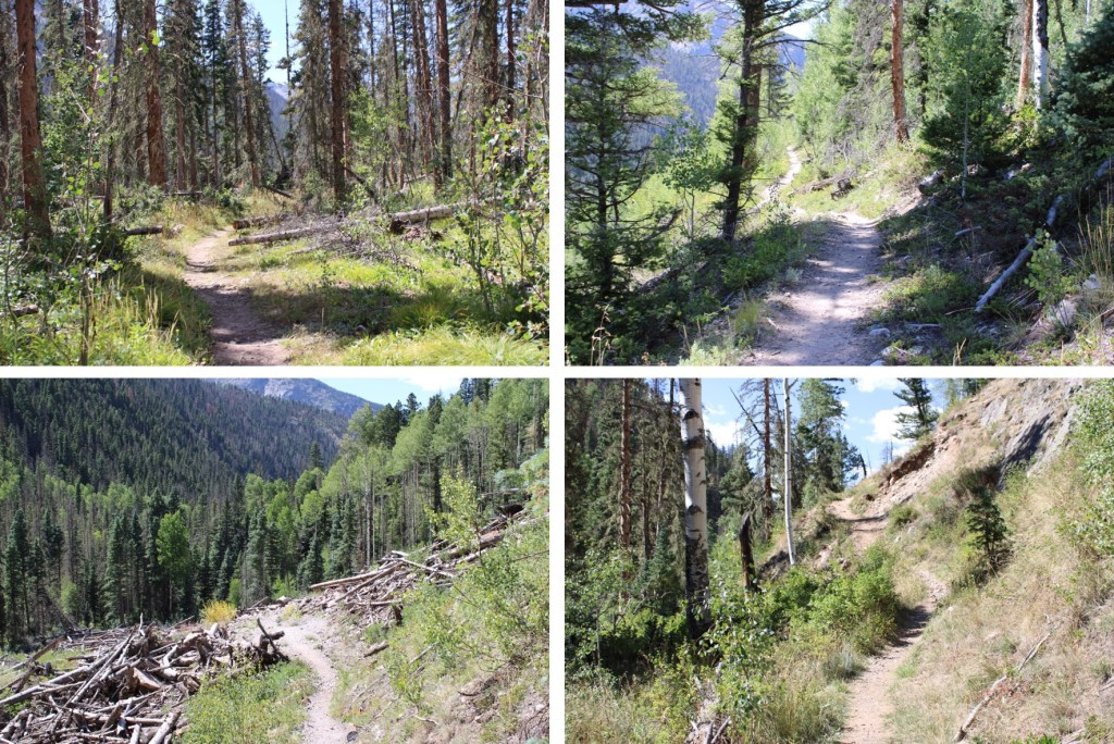
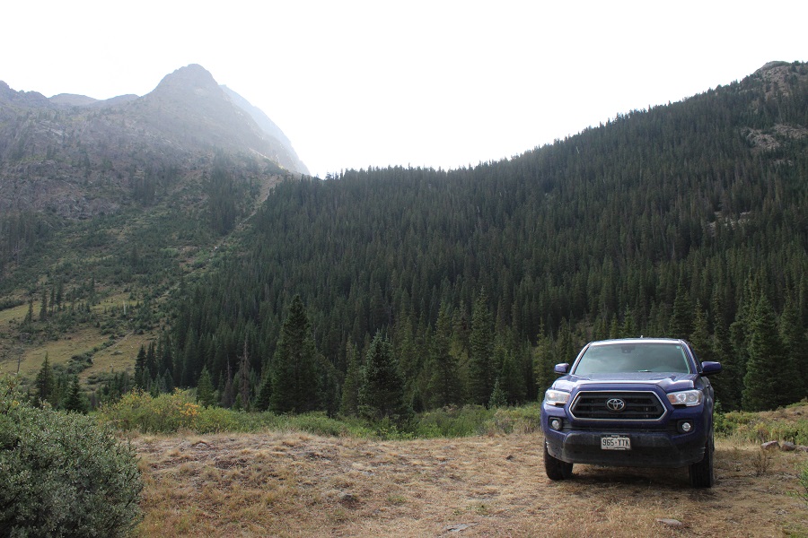
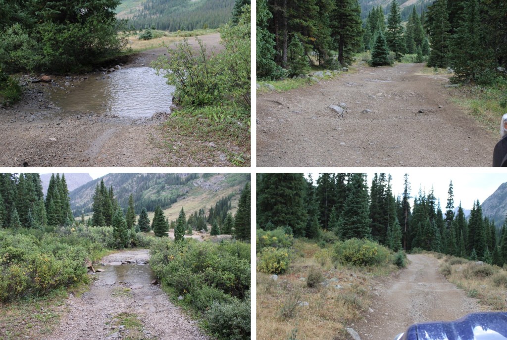
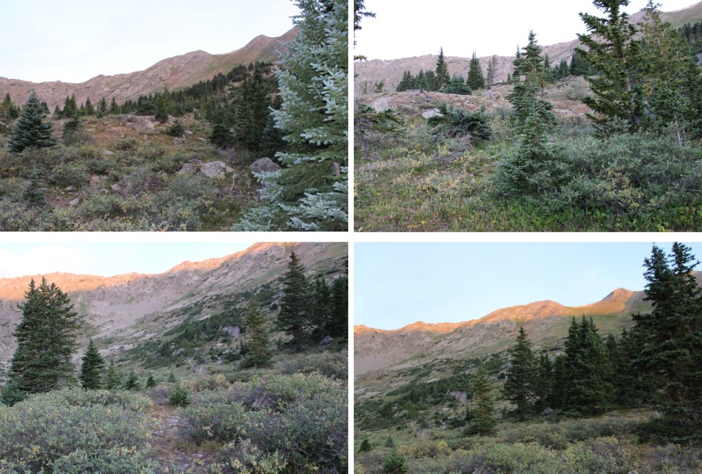
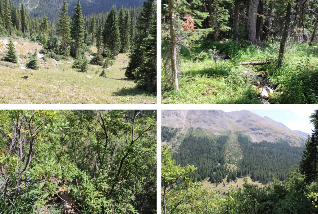
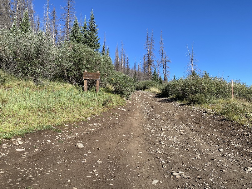
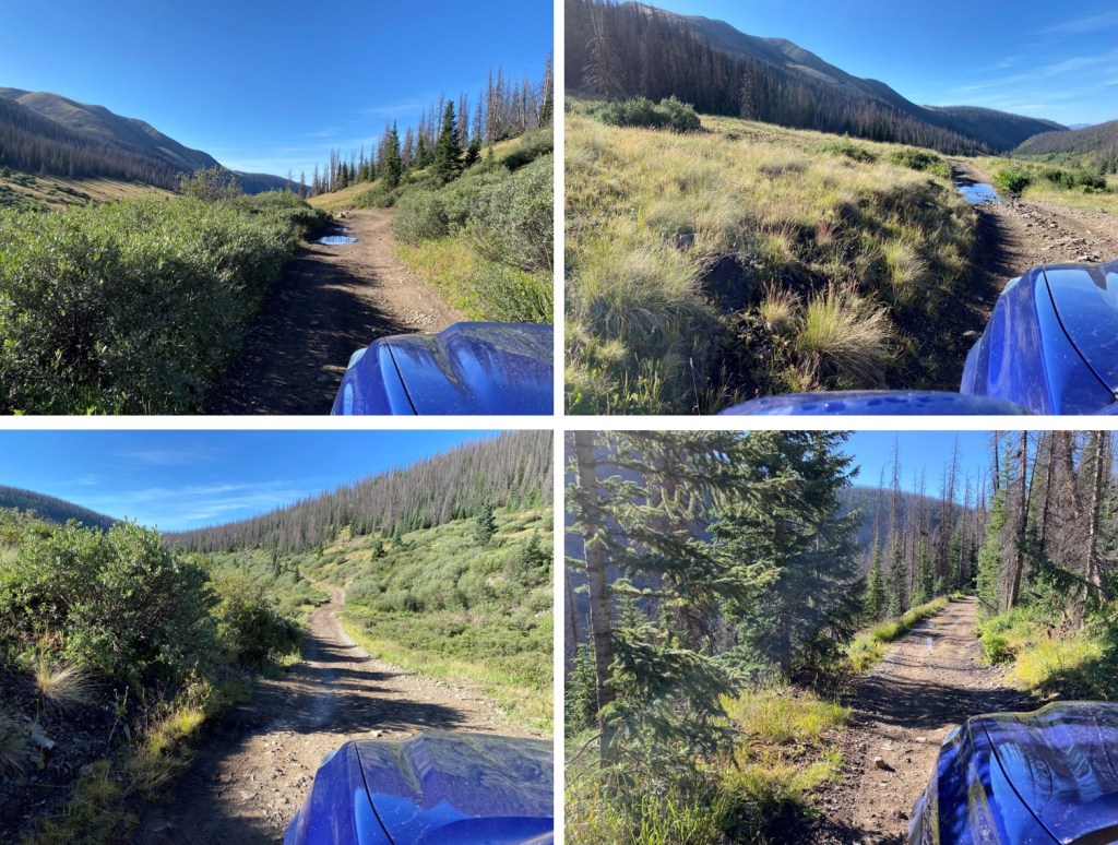
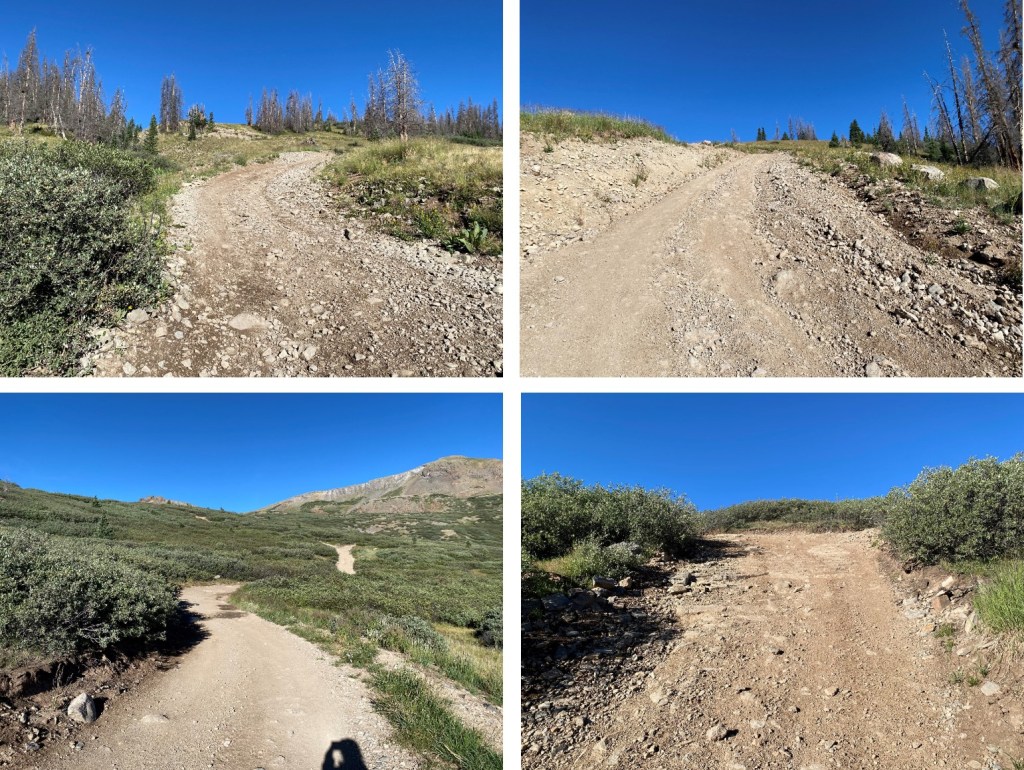
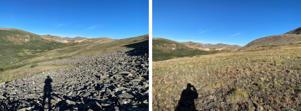
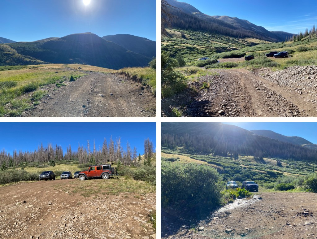
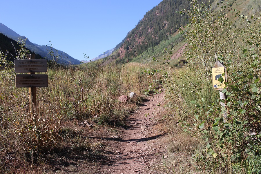
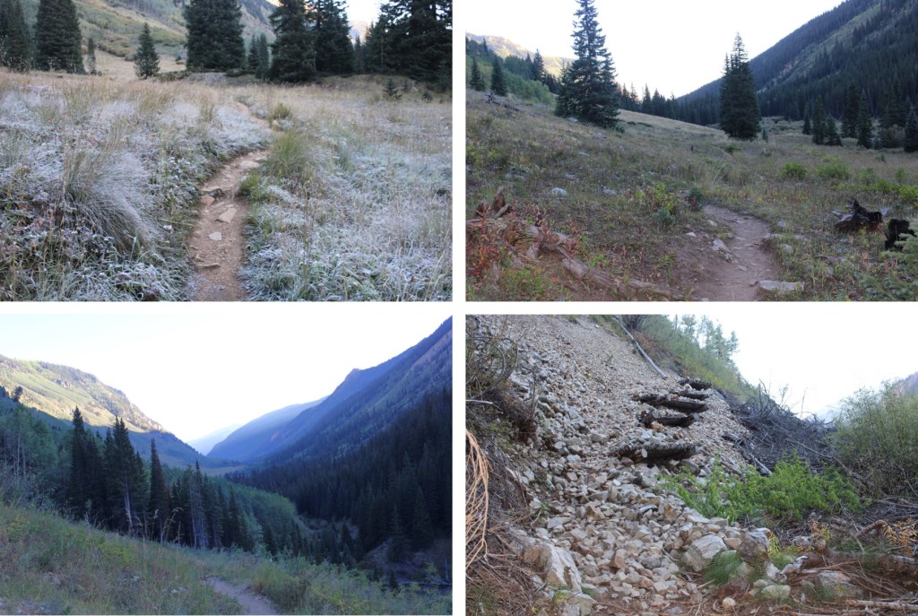
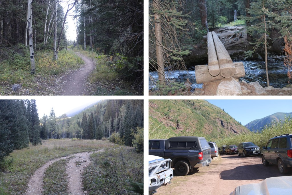
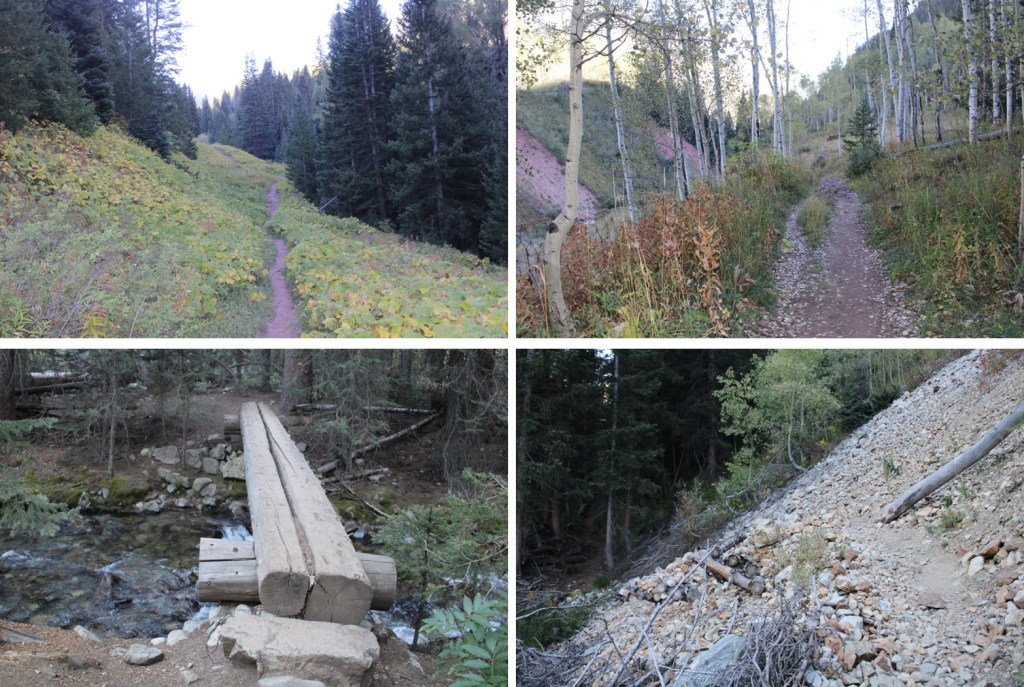
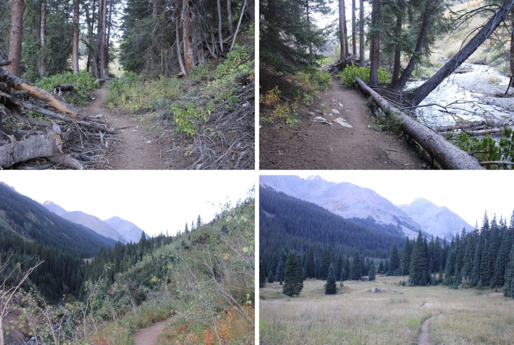
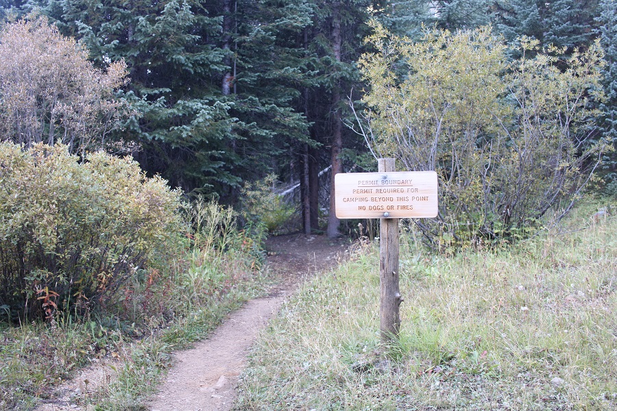
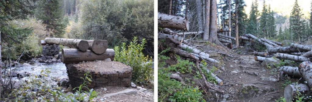
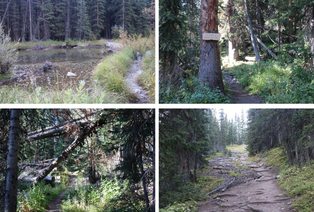
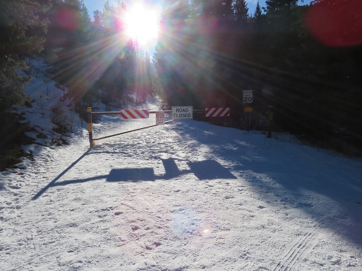
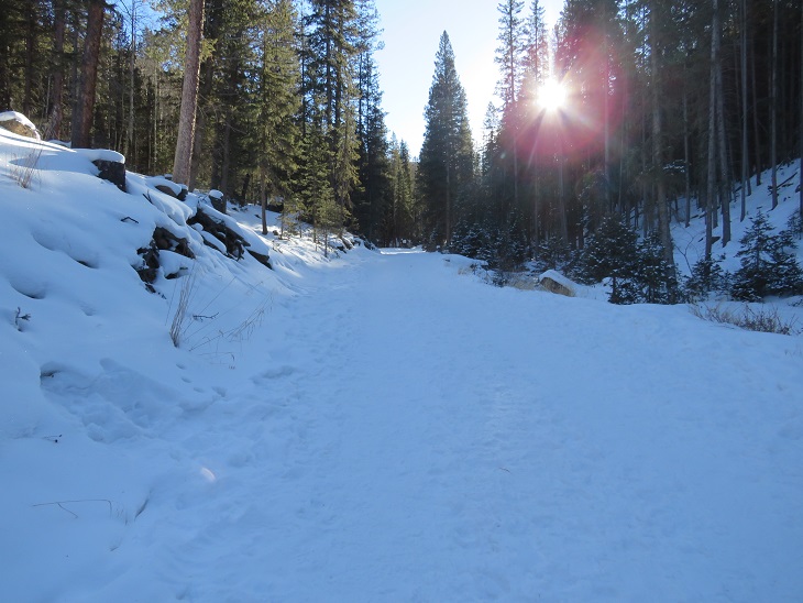
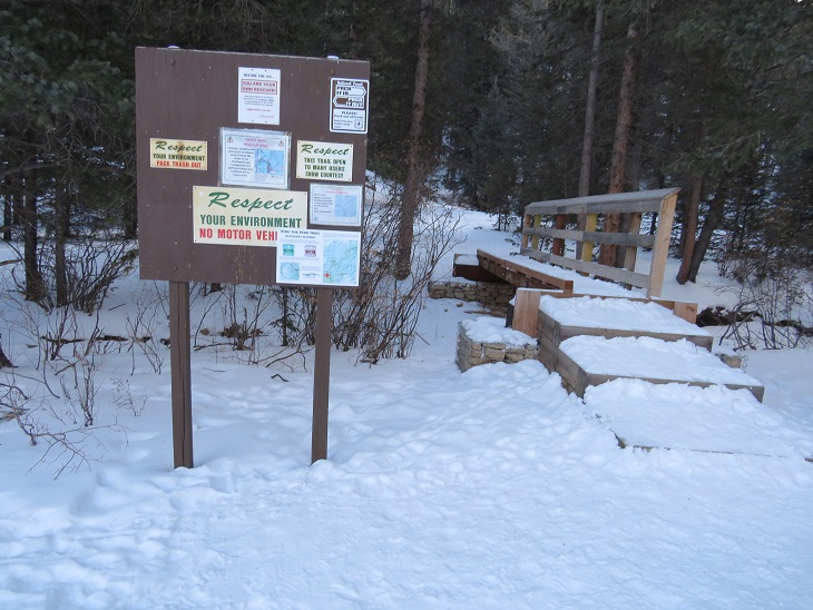
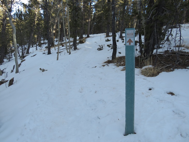
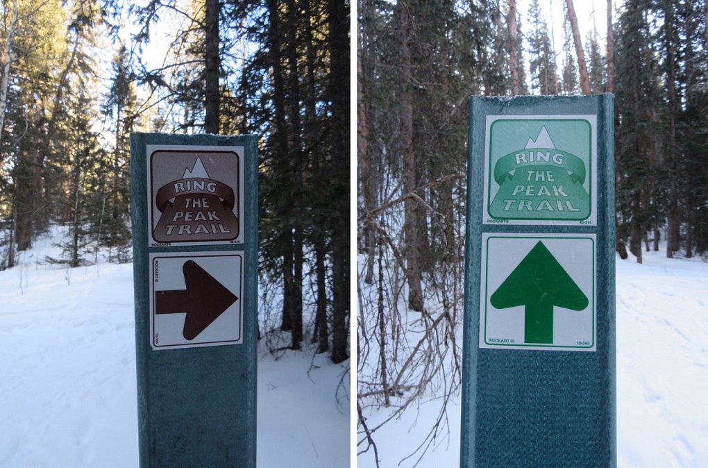
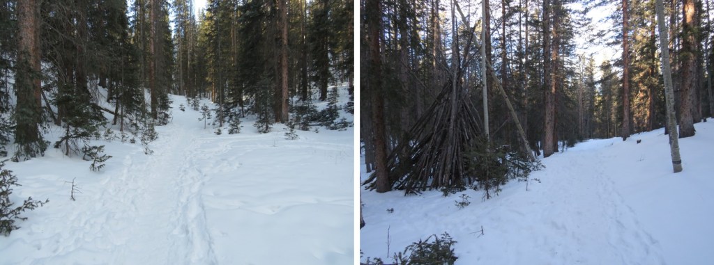
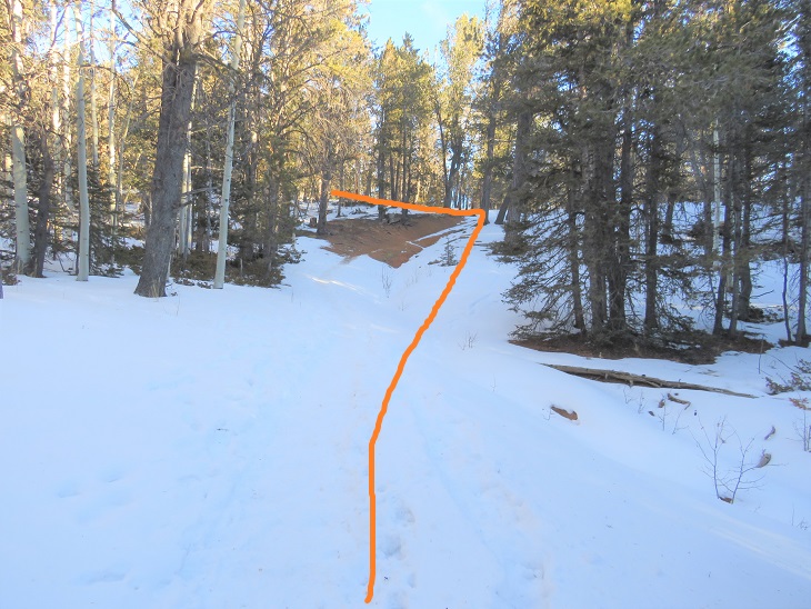
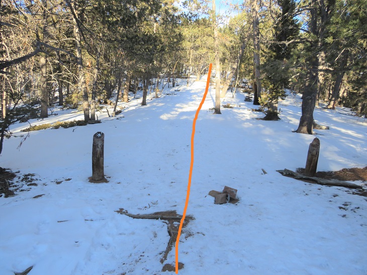
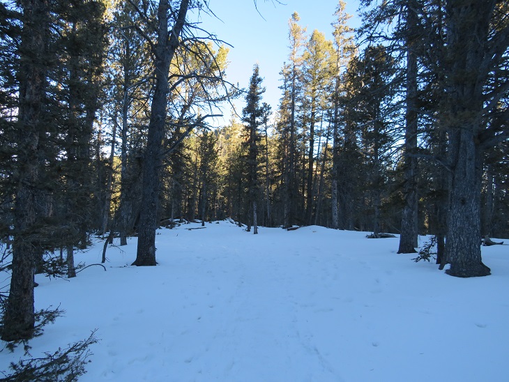
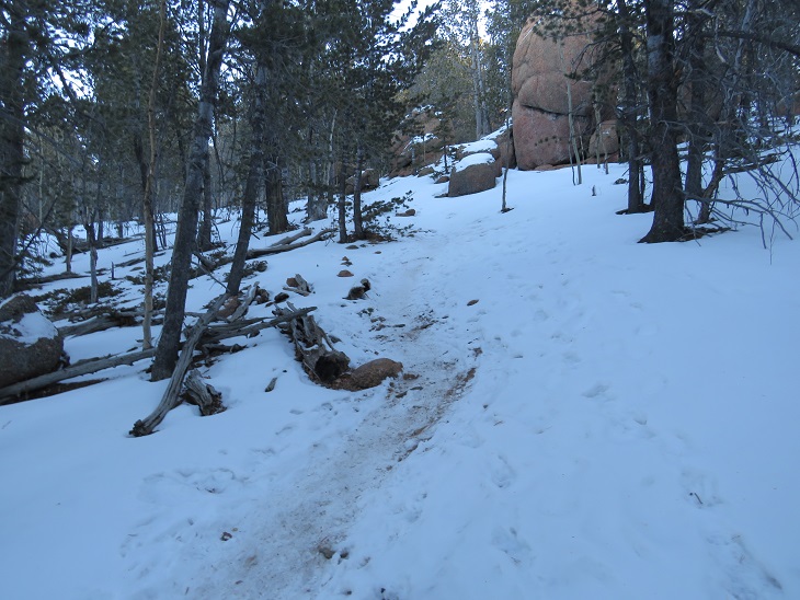
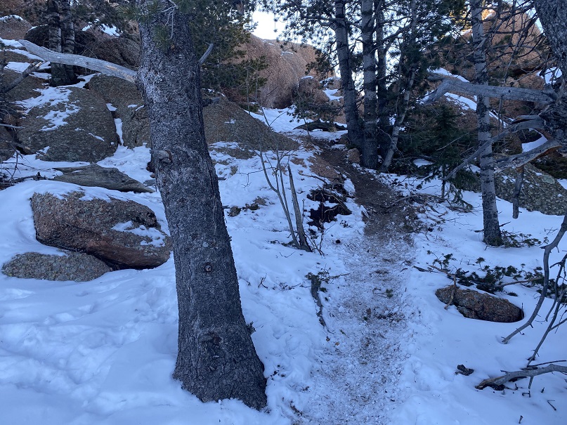
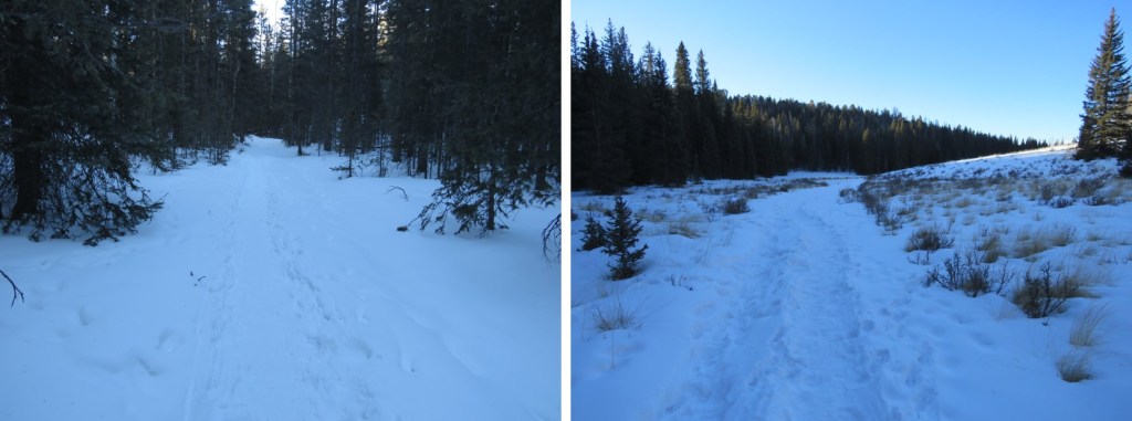
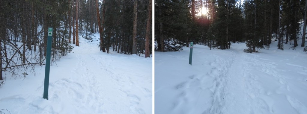
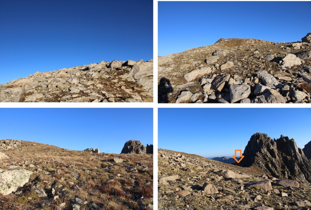
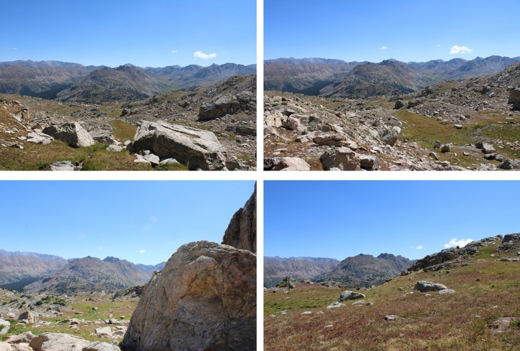
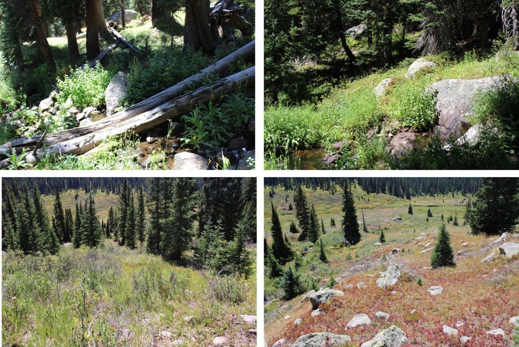
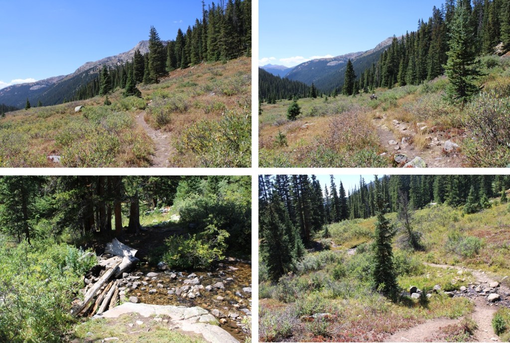
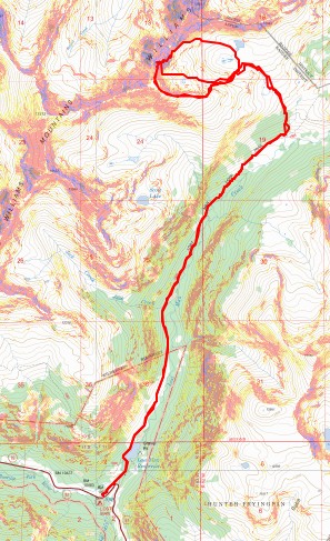
I started at the Lower Lost Man Campground and followed the trail (1996) north past Lost Man Reservoir and up towards South Fork Pass. This is a class 1 trail I followed for about 4.25 miles.


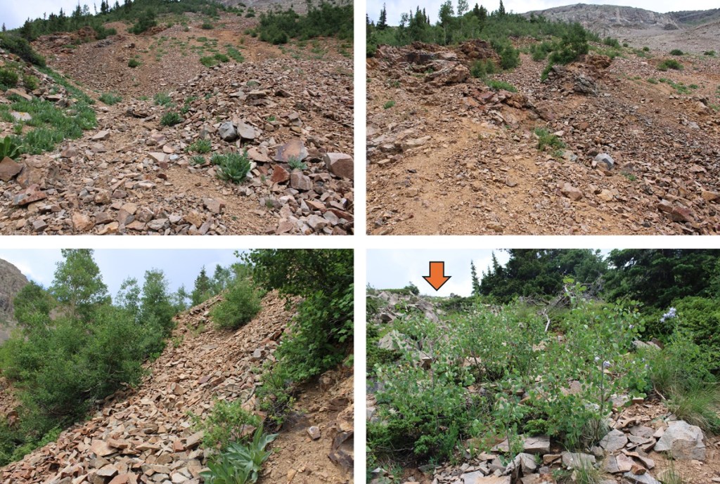
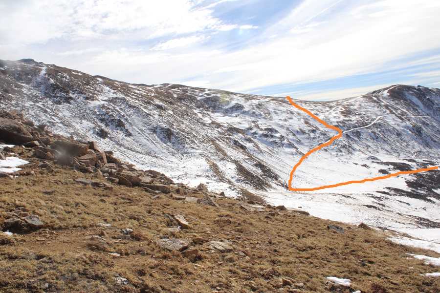
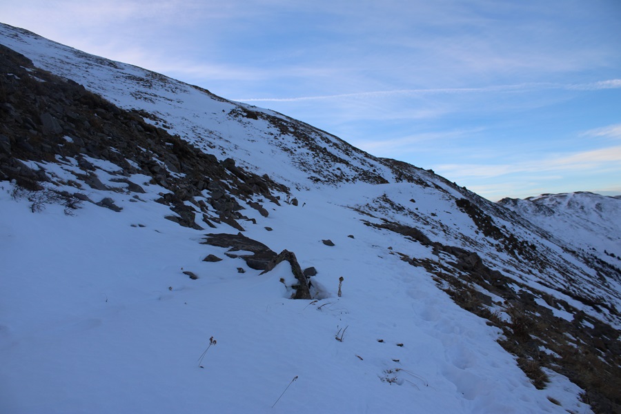
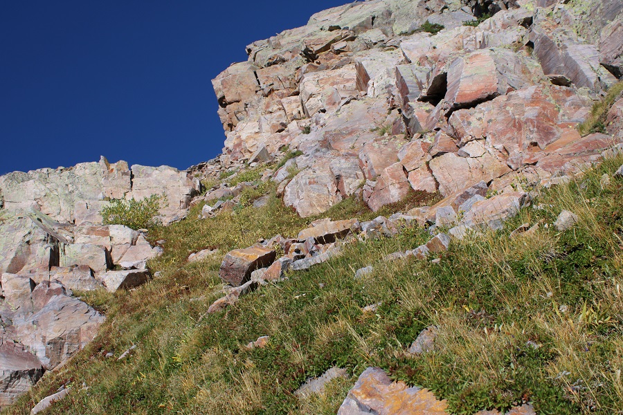
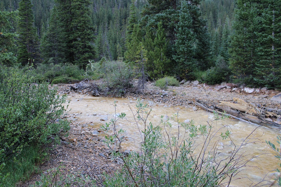
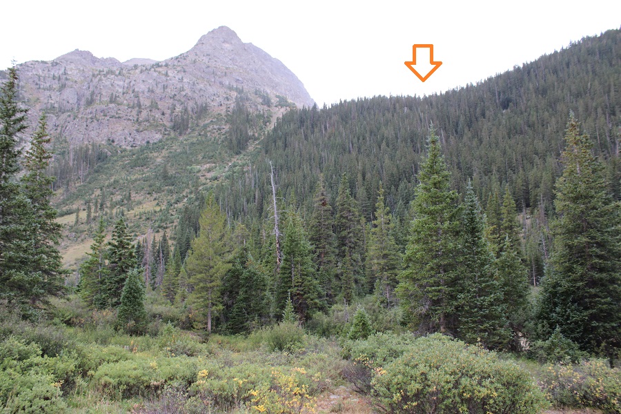
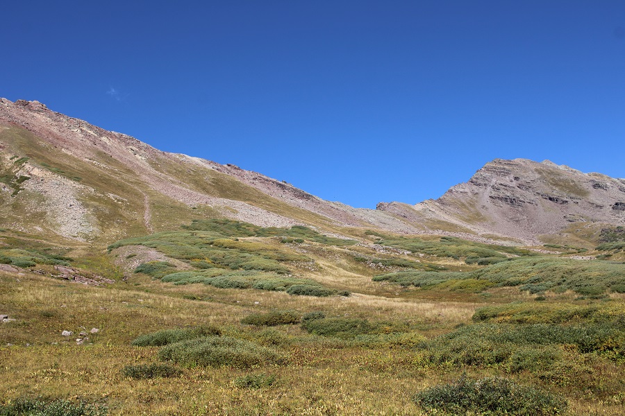
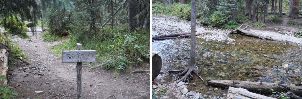
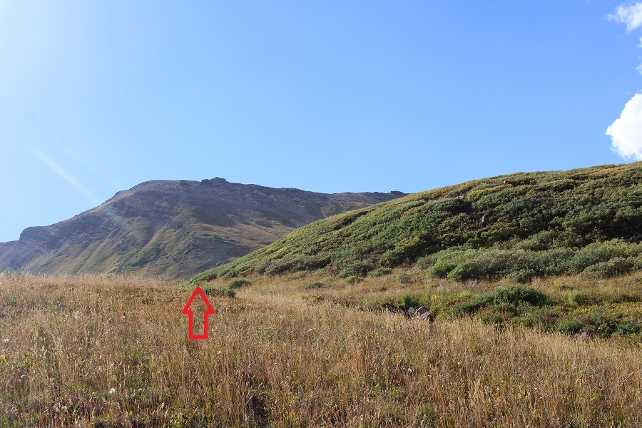
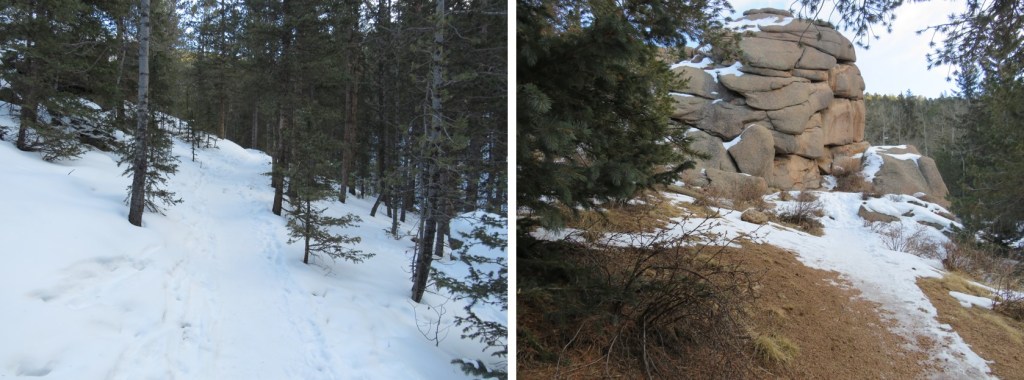
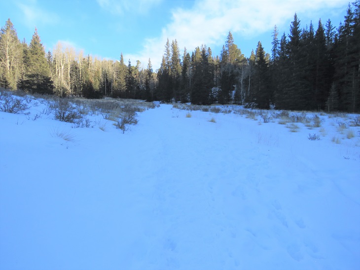
After about 4.25 miles, at 11430’, and just before the third creek crossing I turned left and followed the creek for about 20 yards before crossing the creek and then following the creek up to an upper basin, heading northeast. This creek isn’t named, and neither is the basin, but following it will put you just east of 13024. This is class 2. It’s less than a mile to make it into the basin once you leave the trail.
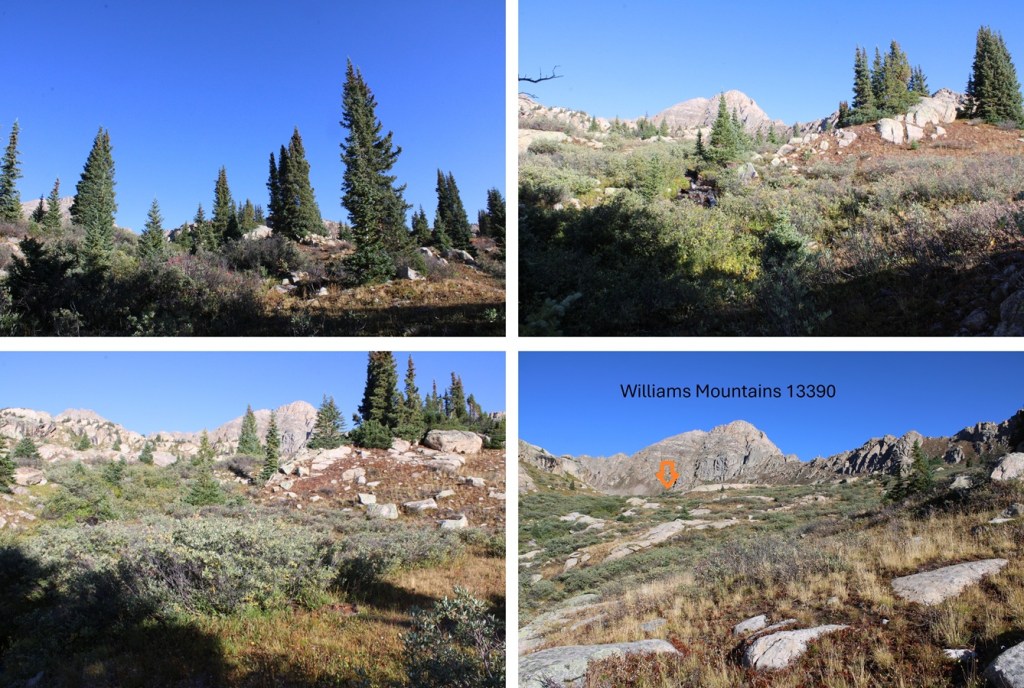
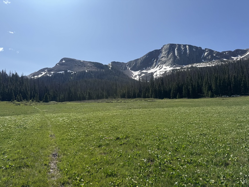
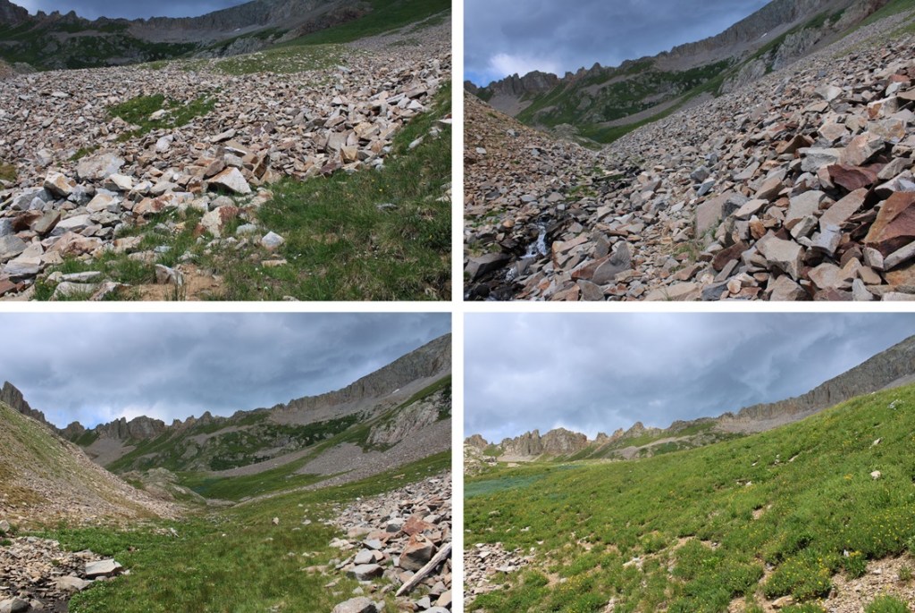
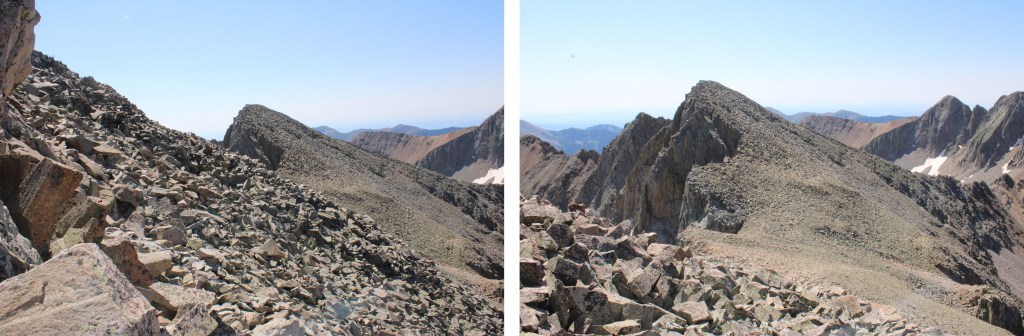
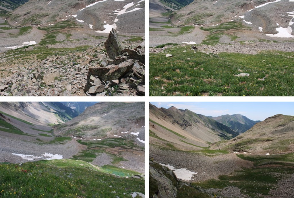
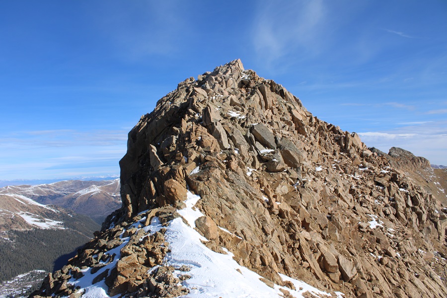
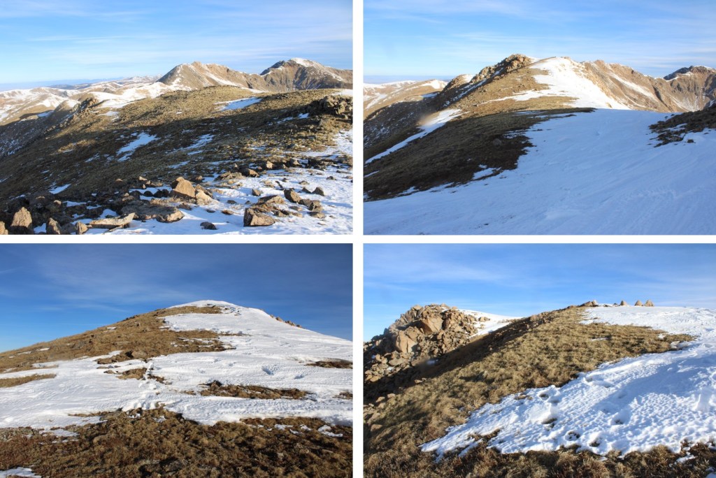
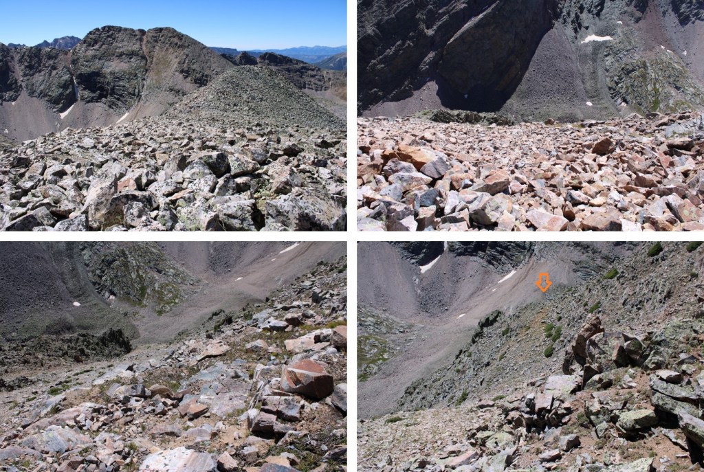
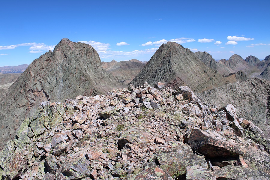
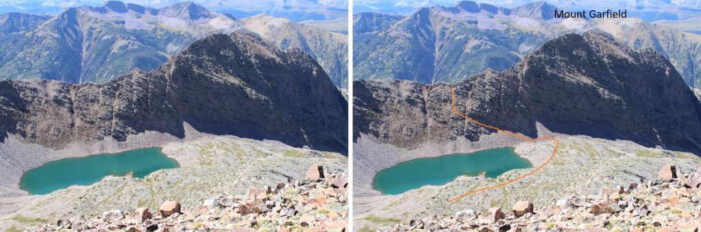
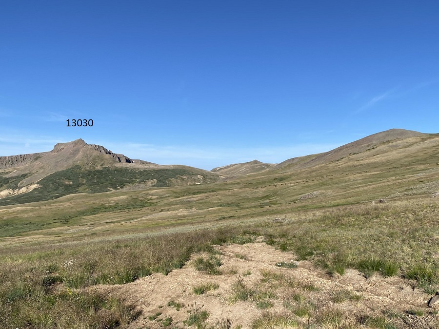
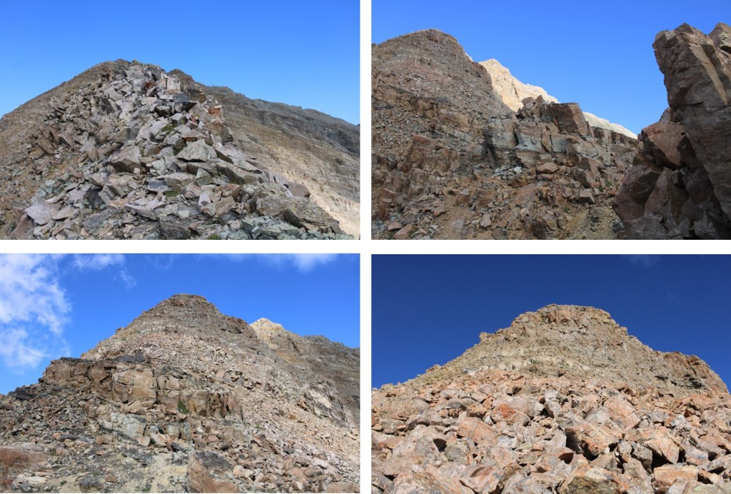
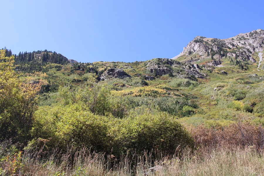
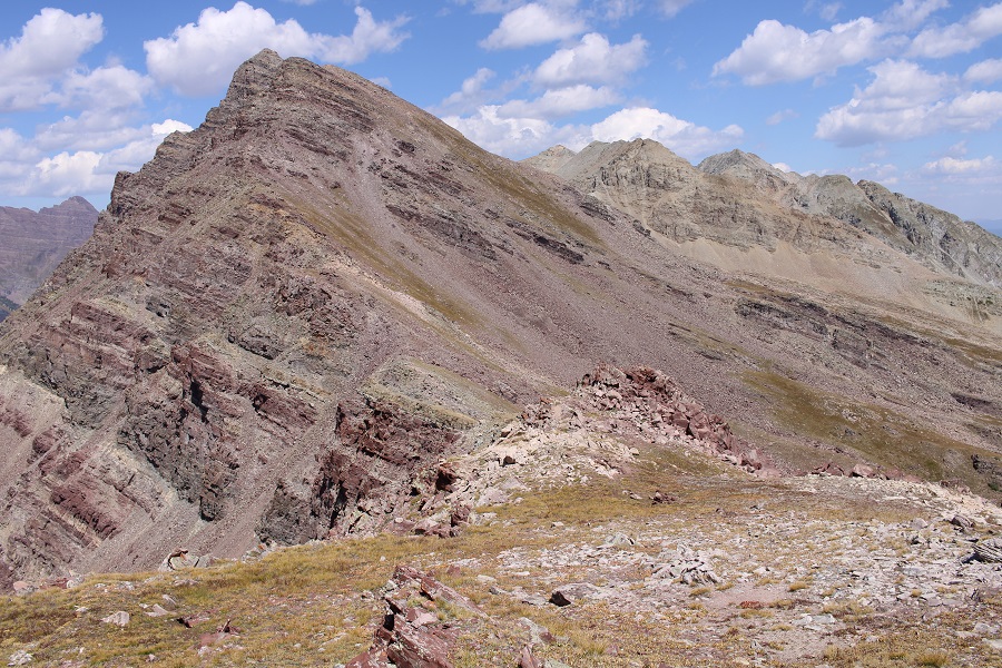
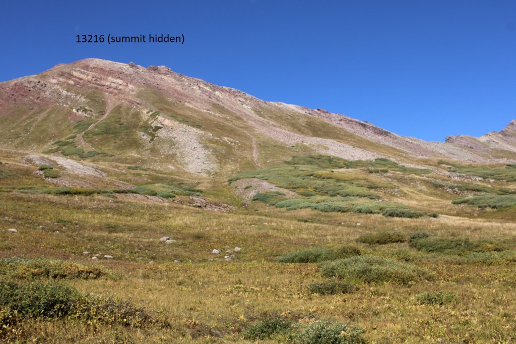
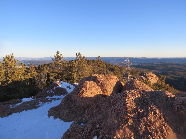
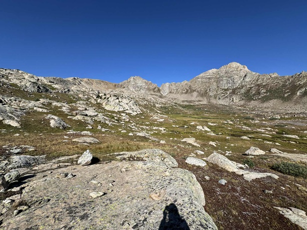
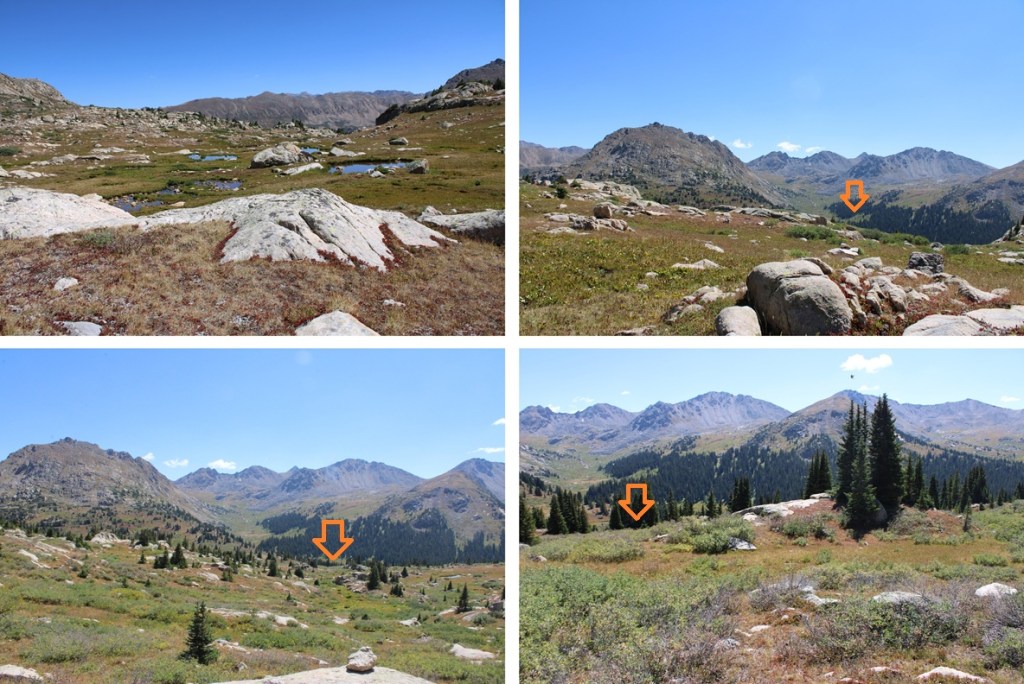
This put me into an upper basin. From this point there are several options to climb 13024.
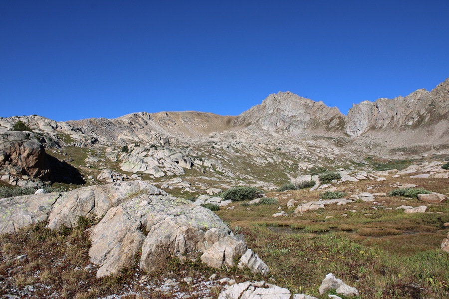
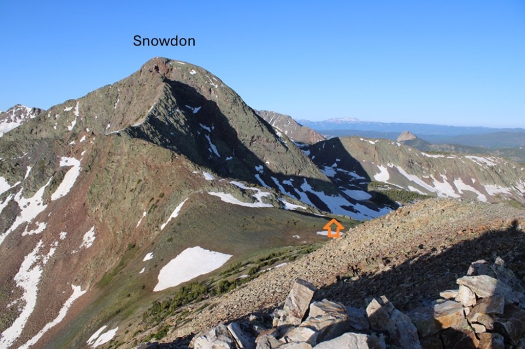
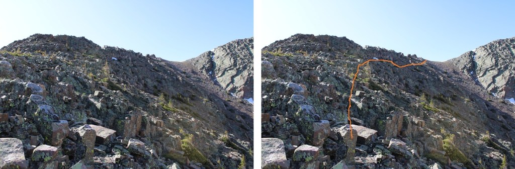
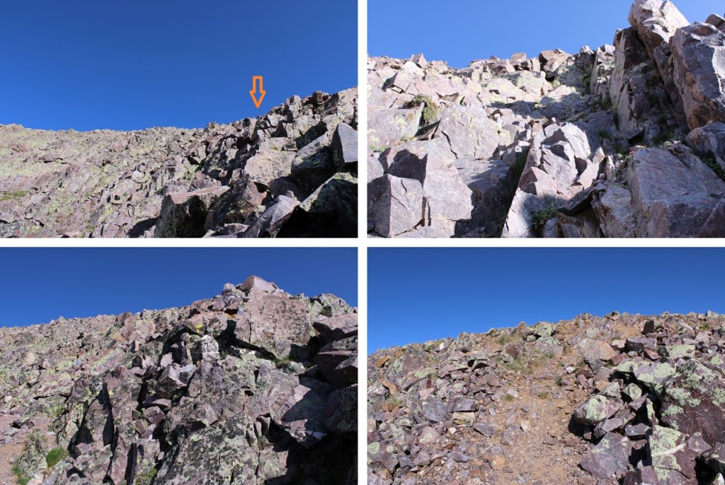
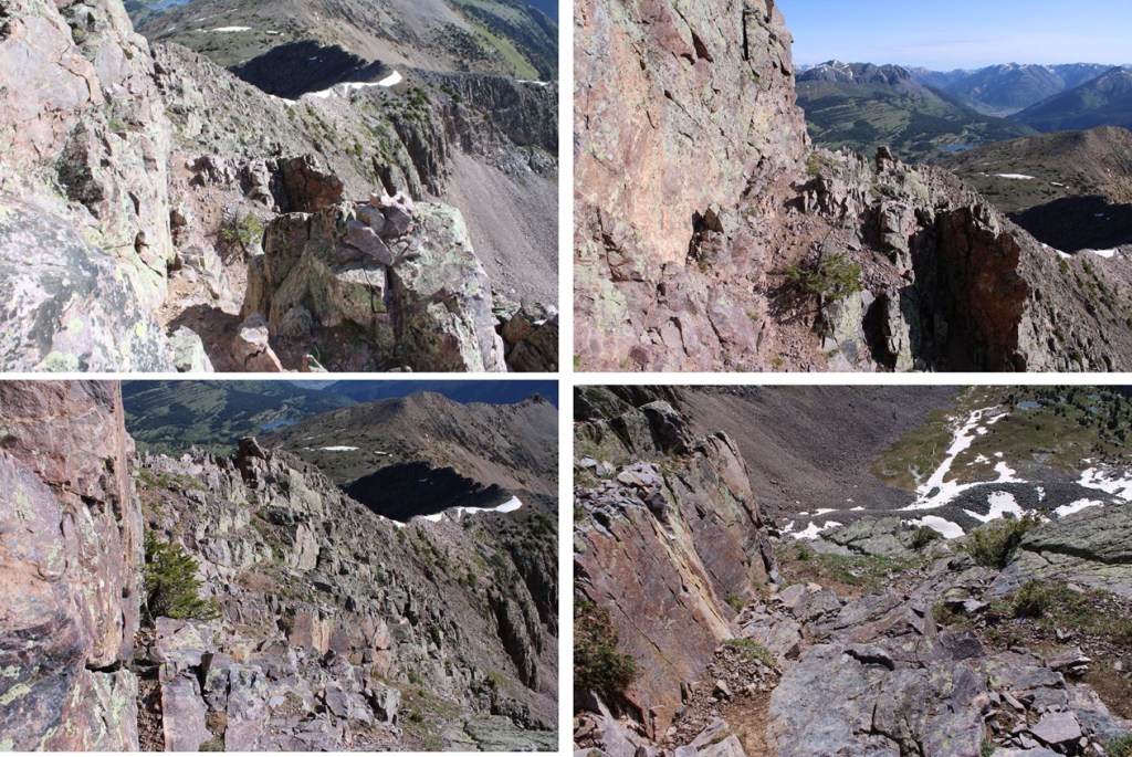
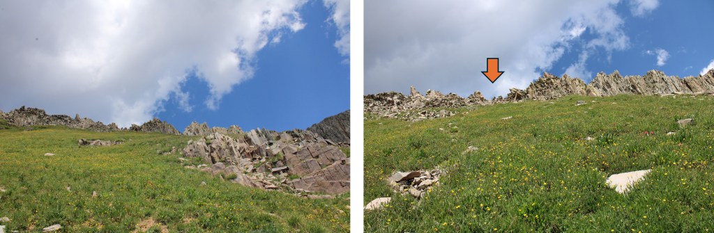
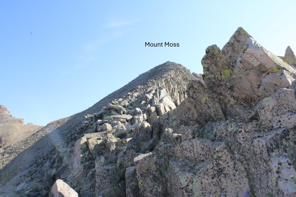
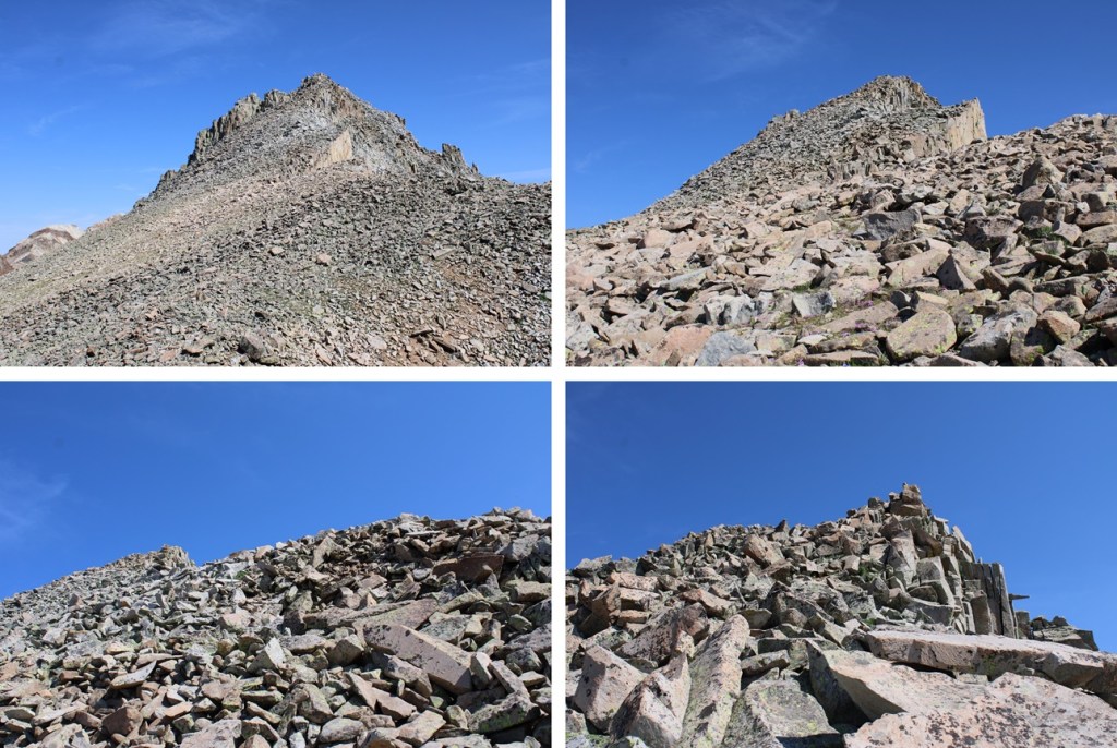
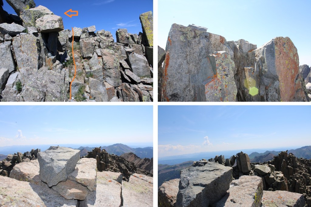
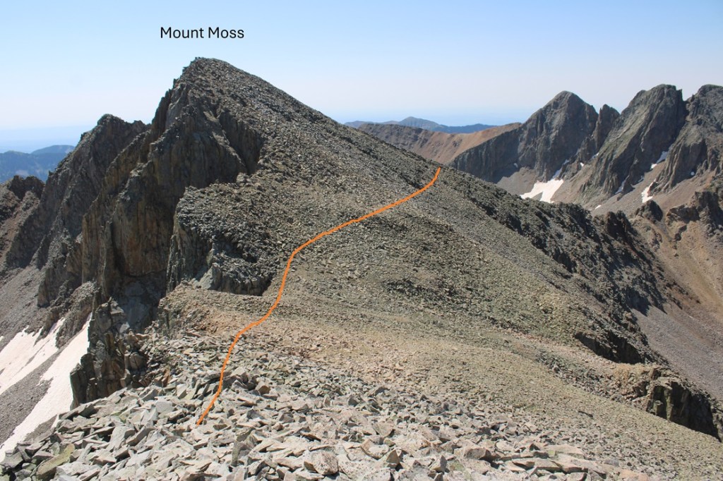
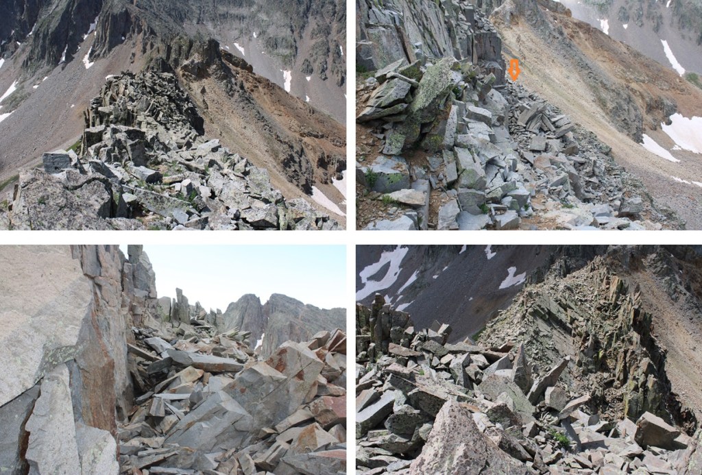
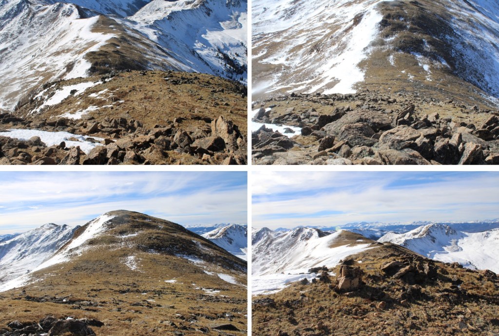
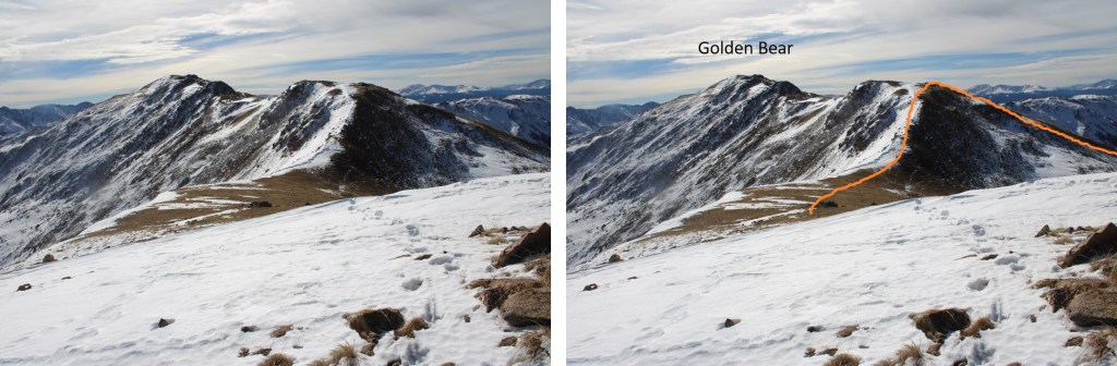
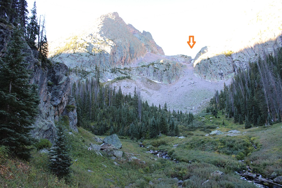
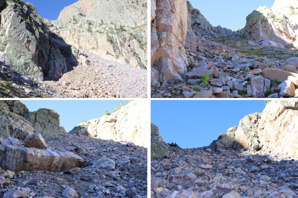
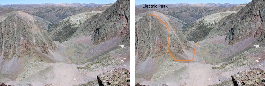
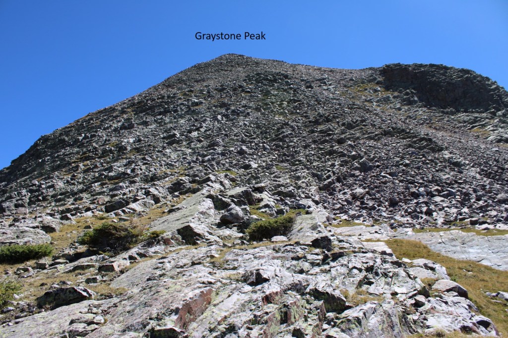
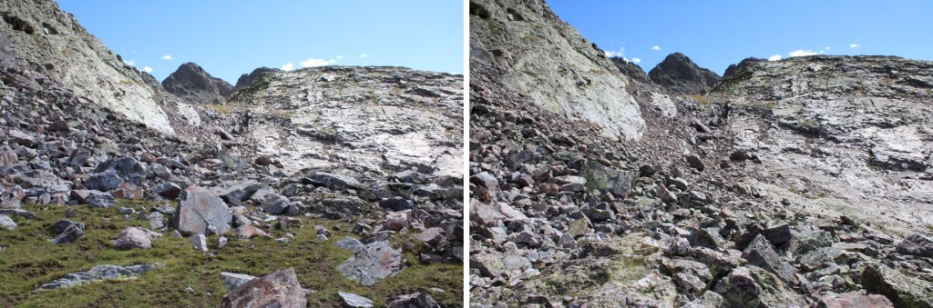
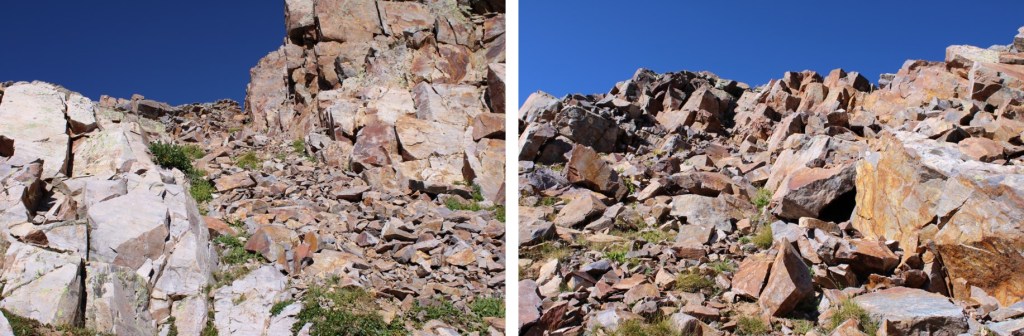
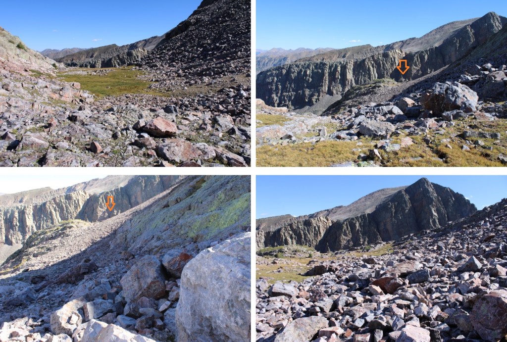
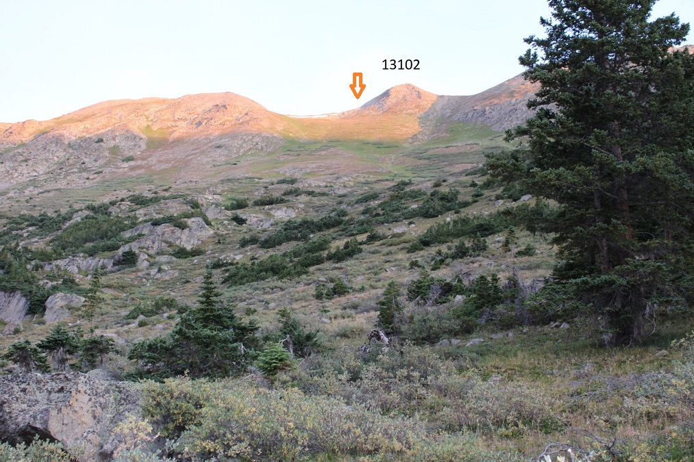
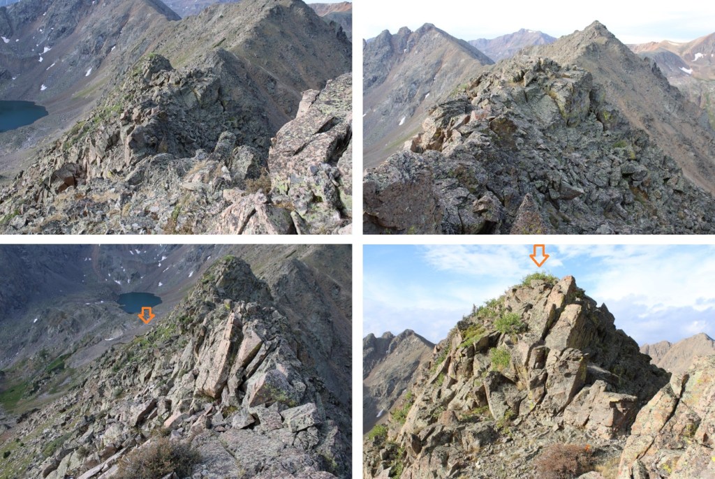
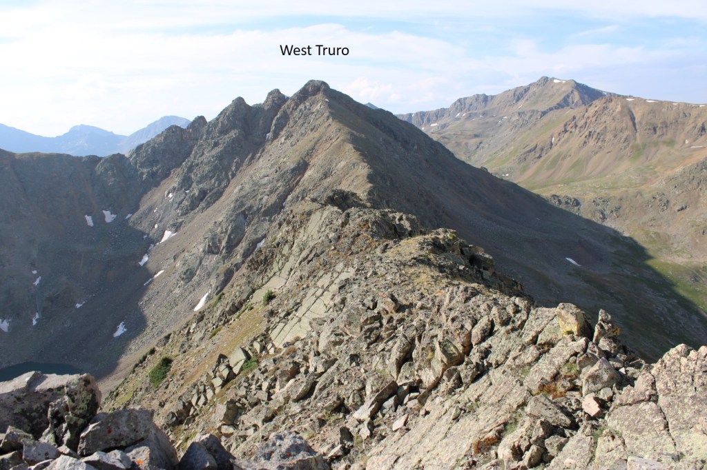
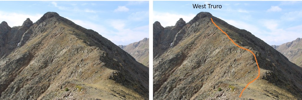
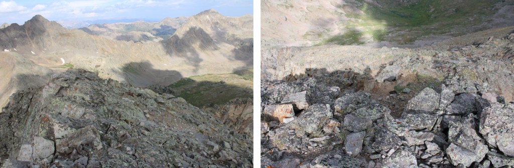
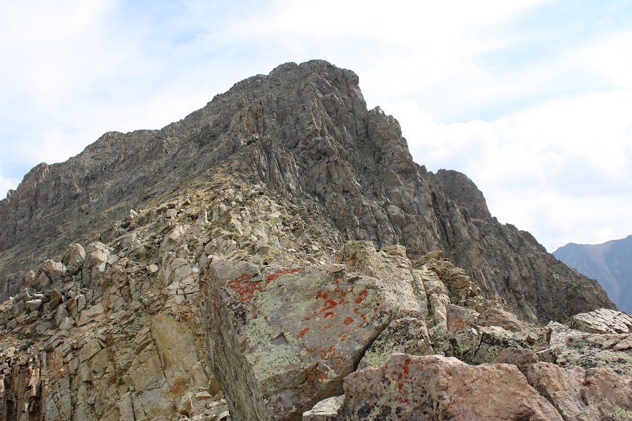
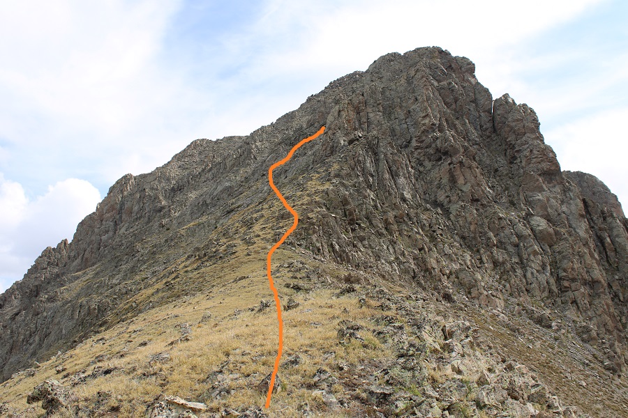
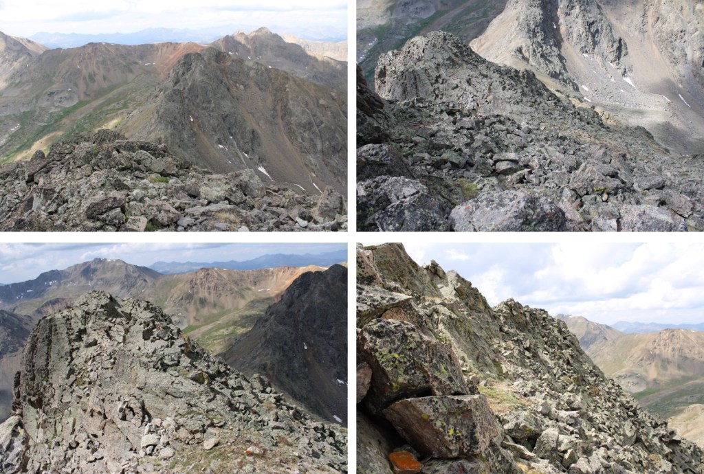
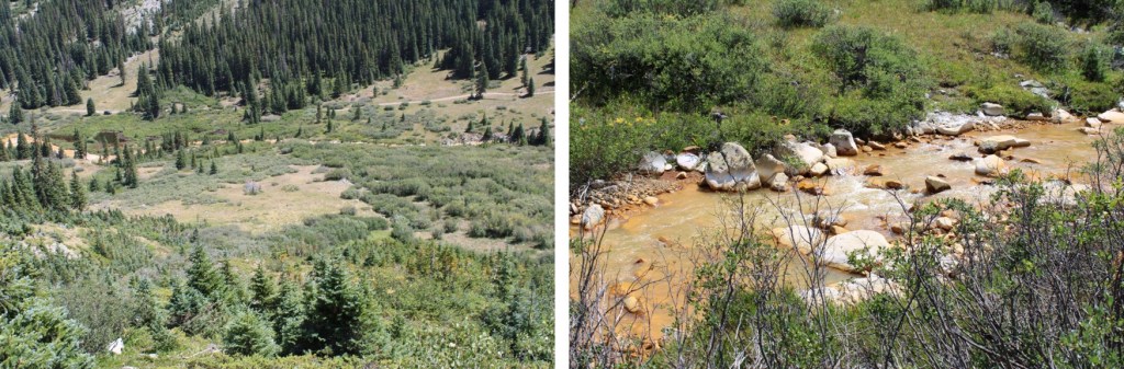
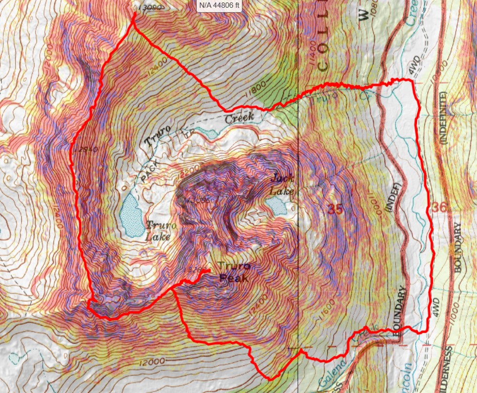
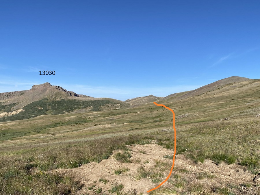
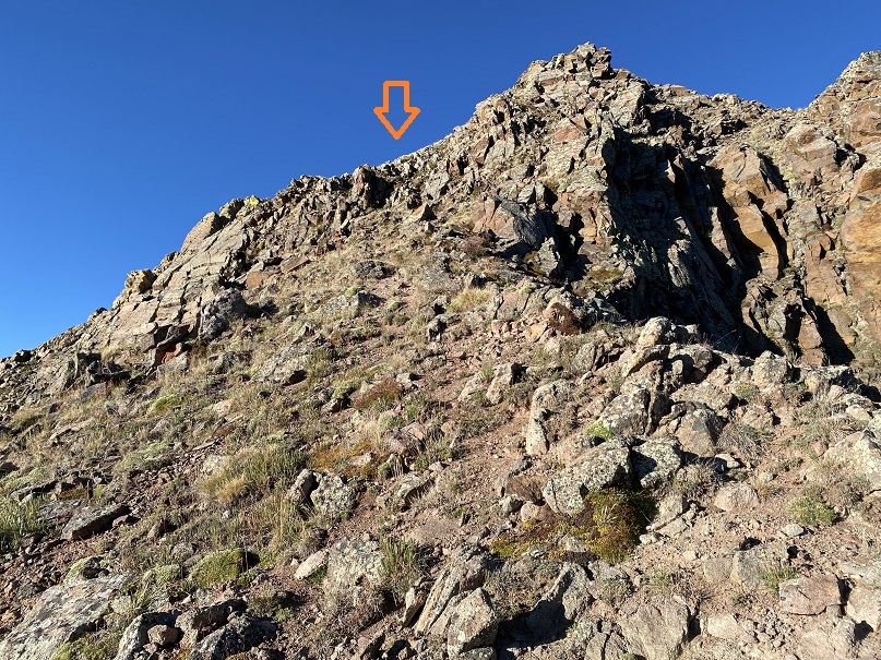
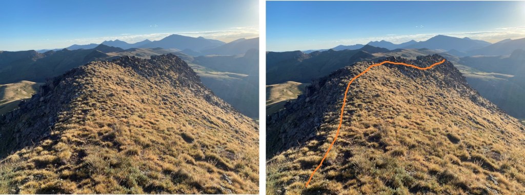
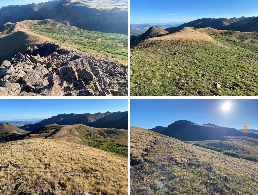
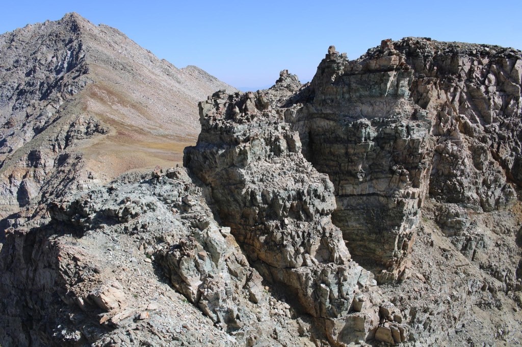
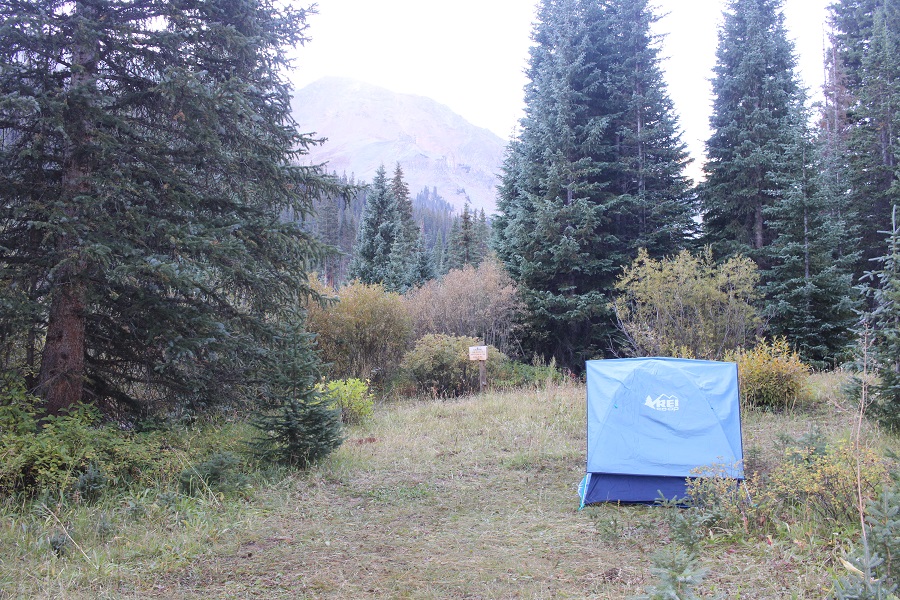
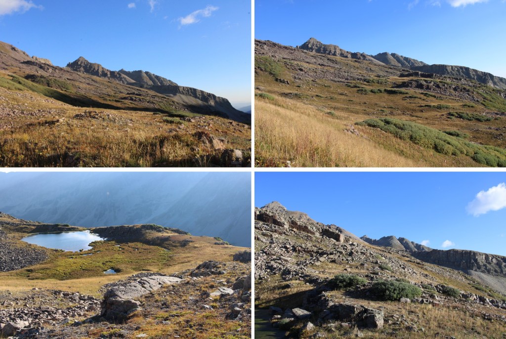
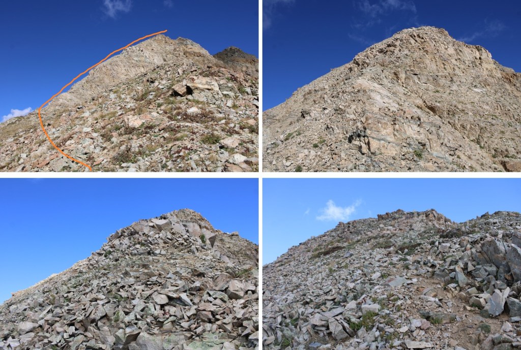
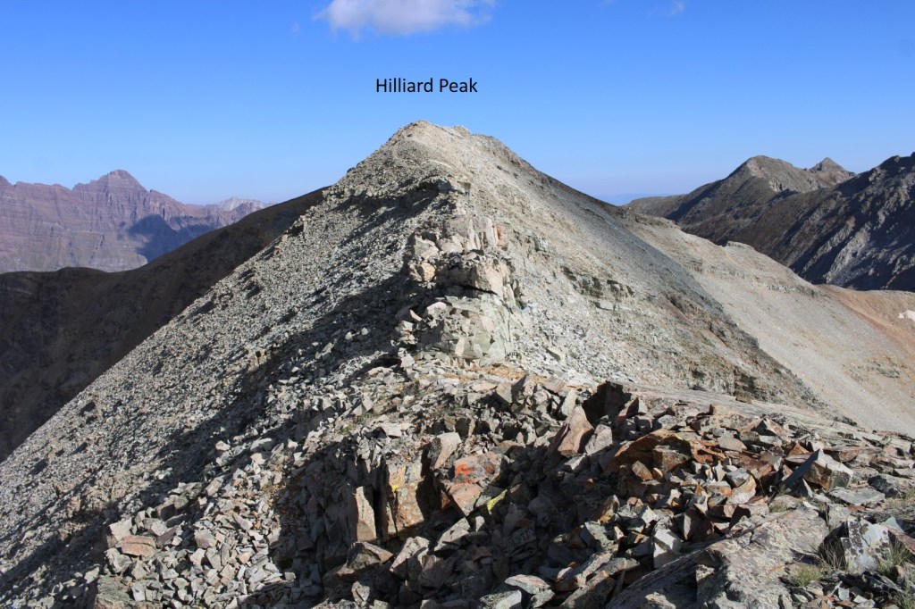
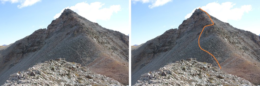
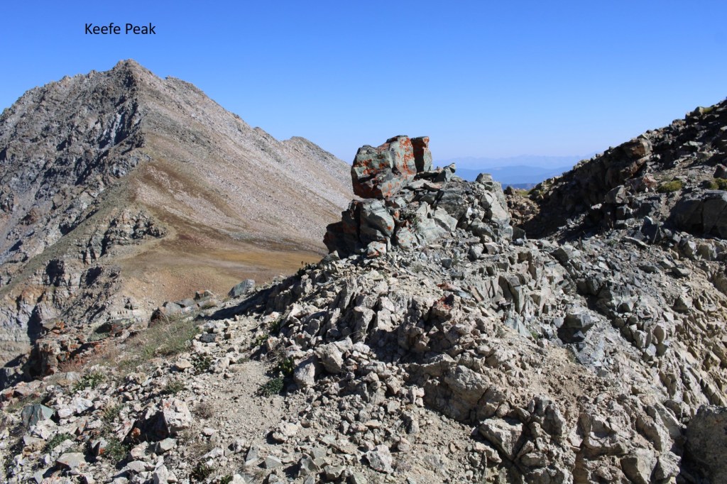
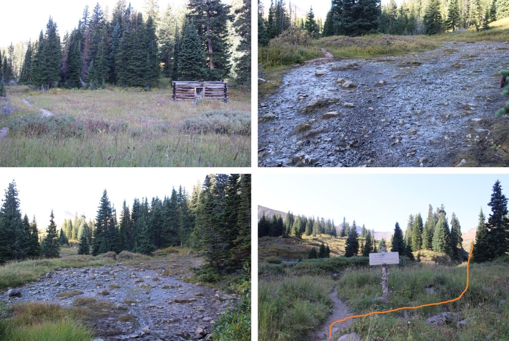
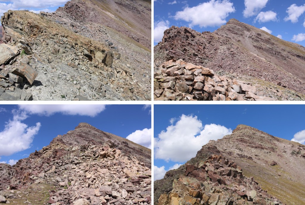
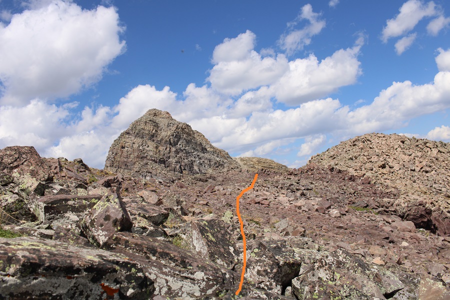
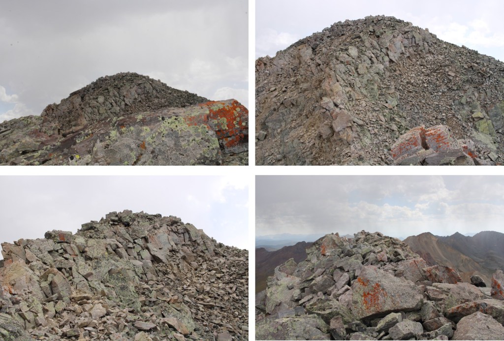
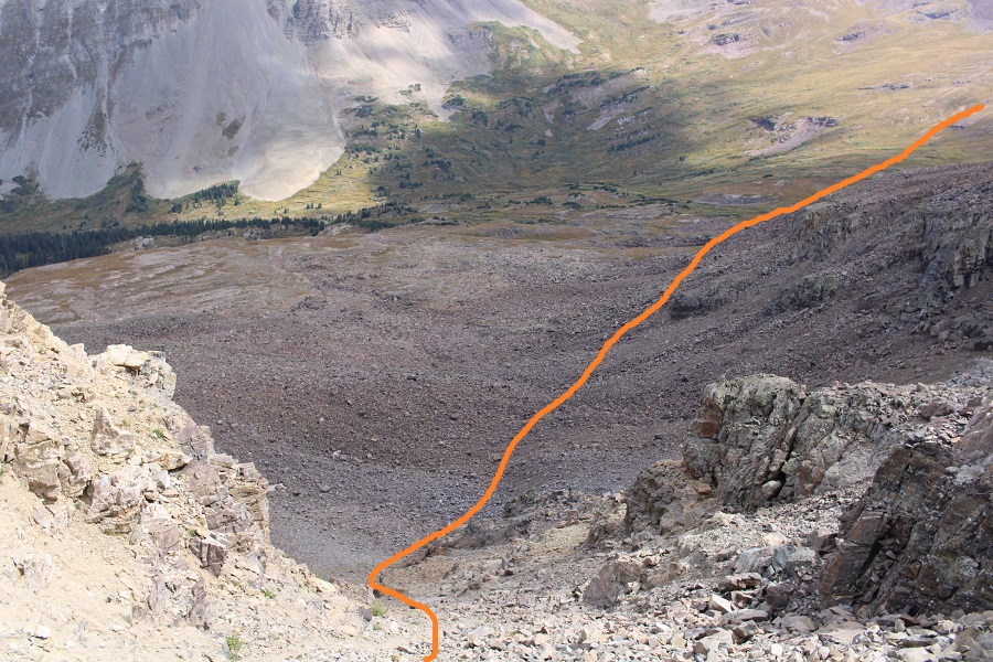
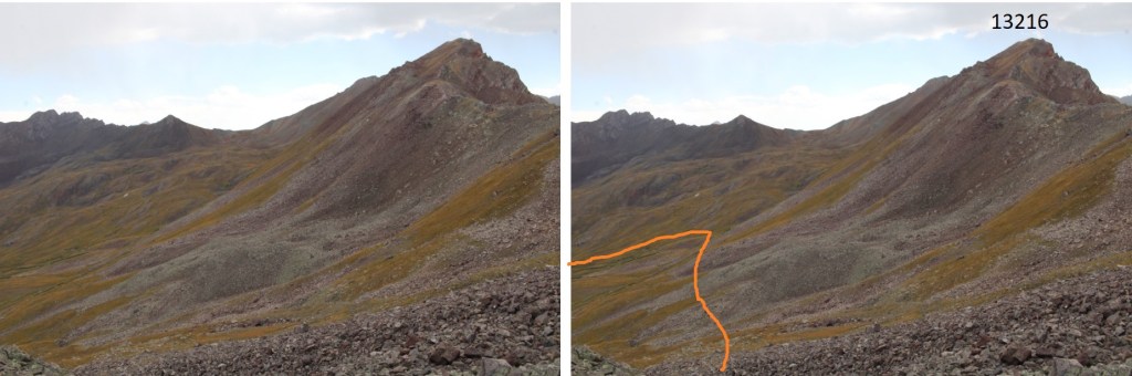
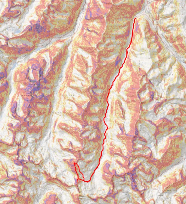
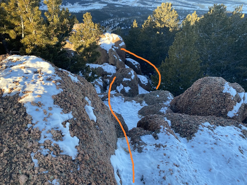
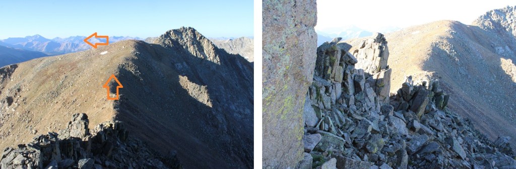
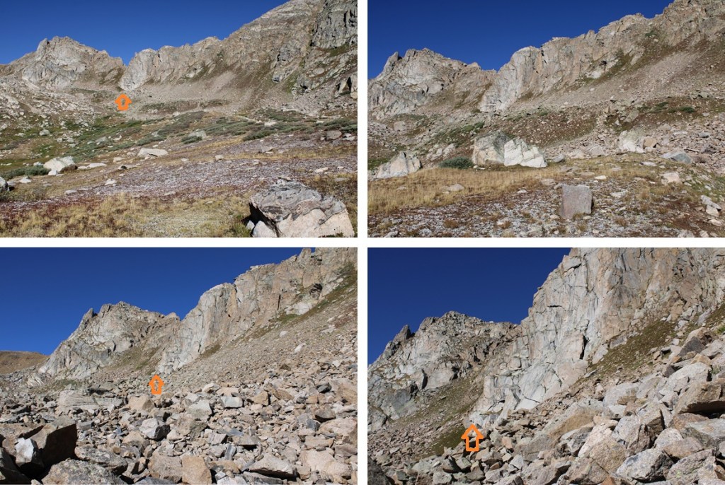
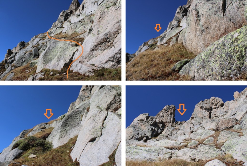
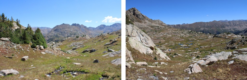
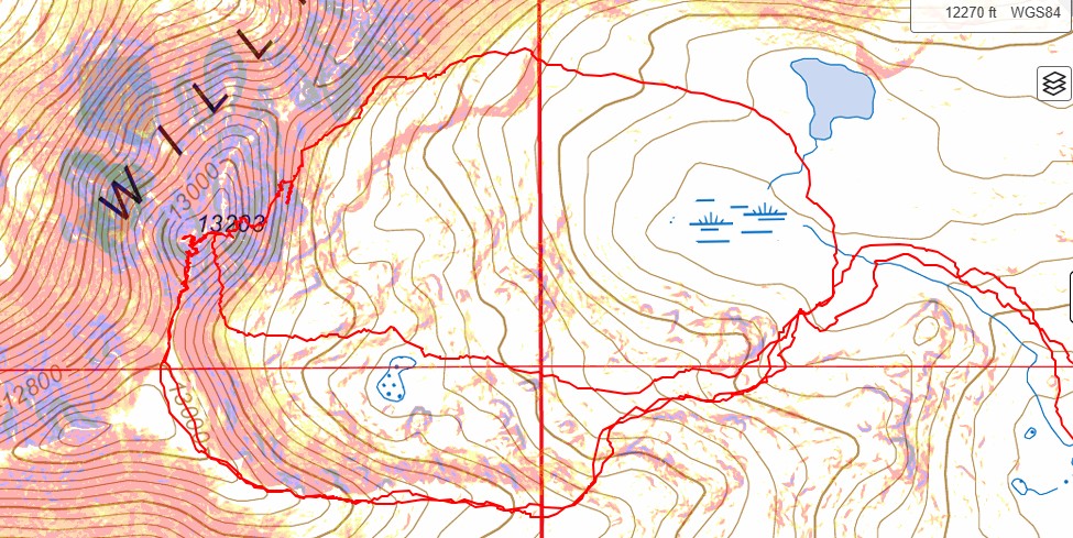
I found a camping spot and set up for the night. This area is boggy/marshy, and it’s difficult to find a spot 150’ from water, but I found one underneath a large rock outcropping. As you can see by the picture below, I found three different routes up/down PT 13024. The orange route is class 4, the blue route class 2, the pink route class 3 (I didn’t really know this beforehand). My first attempt the next morning was going to be to the left hand side, as I didn’t yet know if the ridge would go, and had heard it was the easier side (it wasn’t). I’d been in the area before, and the ridge looked like it went, so in the morning I was going to take the ridge to the summit from the left.

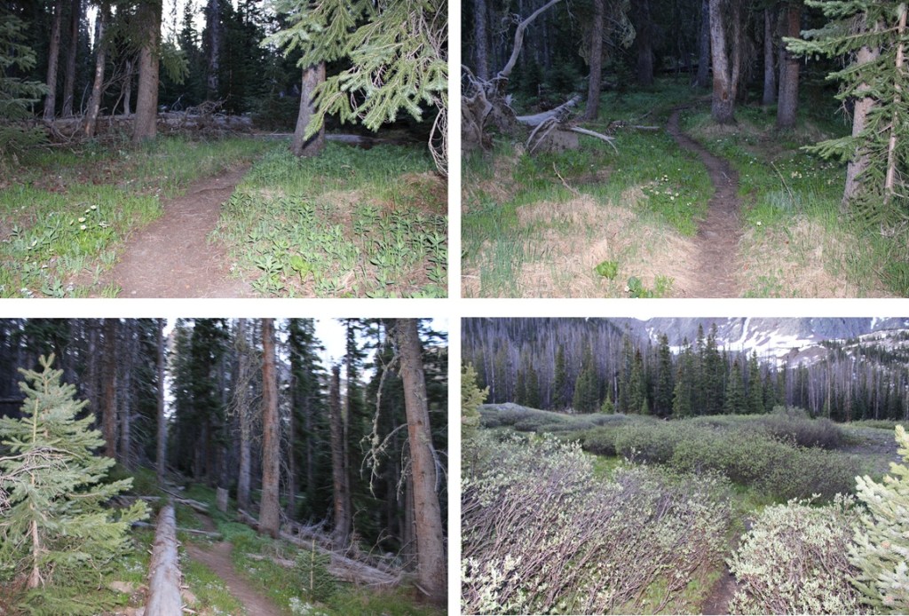
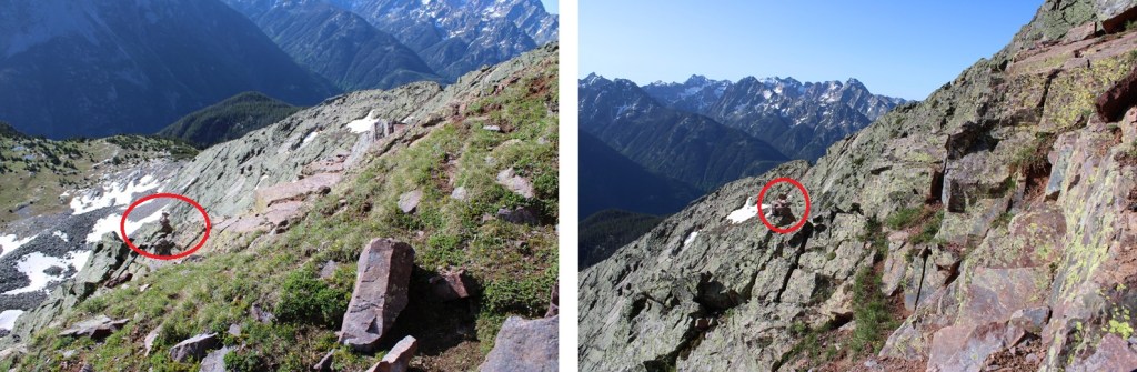
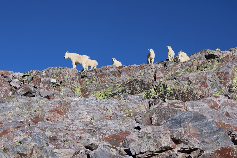
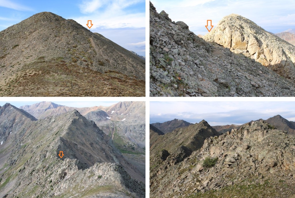
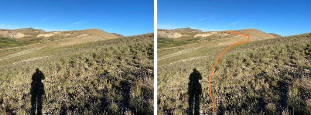
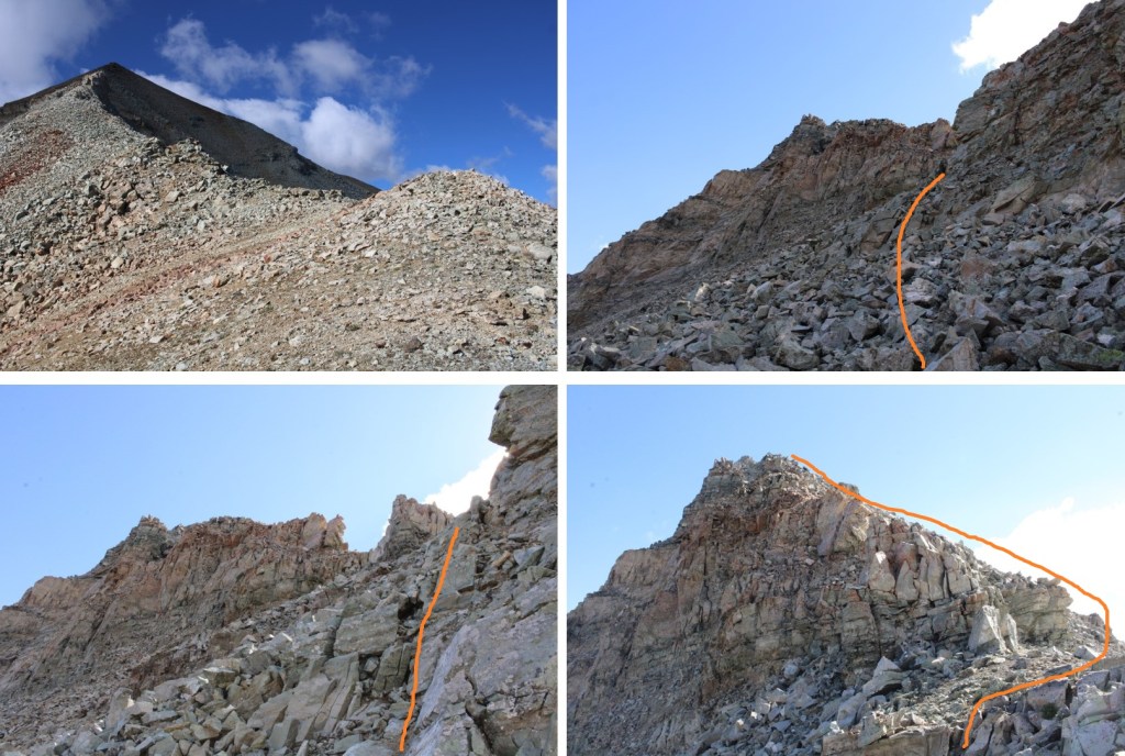
I set up my tent and had the late afternoon to just chill and relax (a goal of mine while climbing this year). While I was there a couple of hunters hiked in, scouting the area (hunting season was to start in a couple of days). I saw them pointing in the distance and getting out their binoculars and looking, then pointing again. I gave them their space, but half an hour later they started hiking towards me and my tent. They whistled and said “Just so you know, there’s a bear behind you about 200 feet, behind the rock you’re set up next to.” I was thrilled with this information, but a bit upset it took them HALF AN HOUR to let me know a bear was behind me. I got up, got my trekking pole, and spent the next 2 hours looking for the bear. I never saw it. I was mentally ok and prepared for the night (bear cannister and all), but still a little upset I never actually got to see the bear. I did hear cow elk calling to their babies in the night, but no more sighting of that bear. In the morning I was off at 6:30am to attempt the ridge (orange route). I started by following the grassy area southwest towards the ridge.

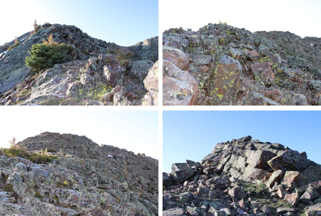
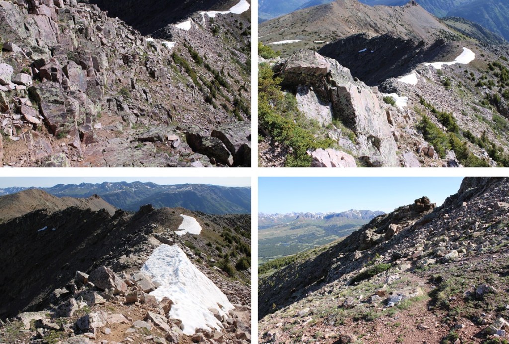
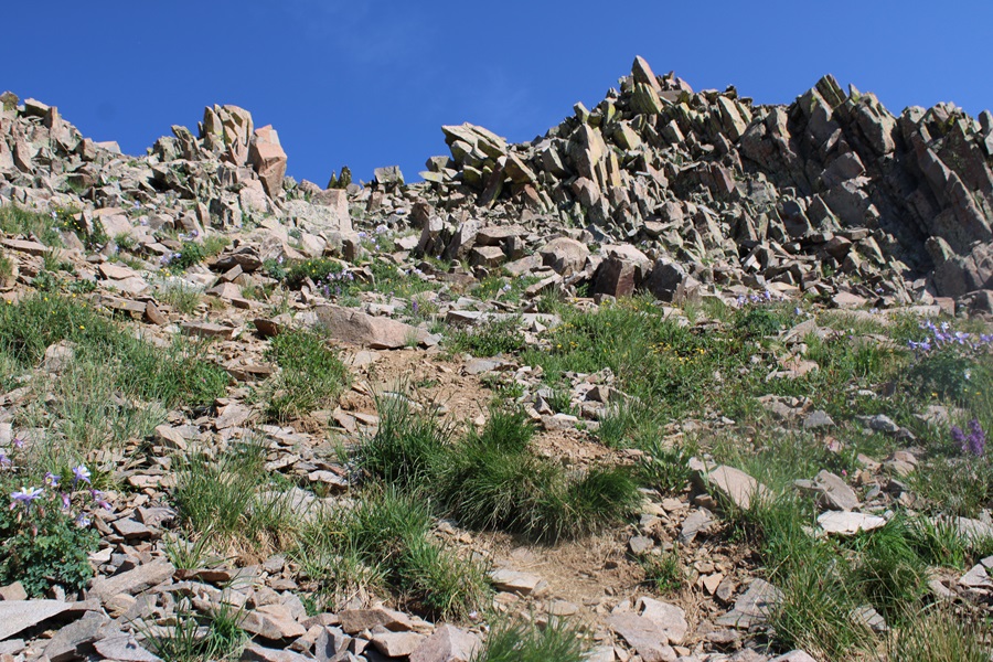
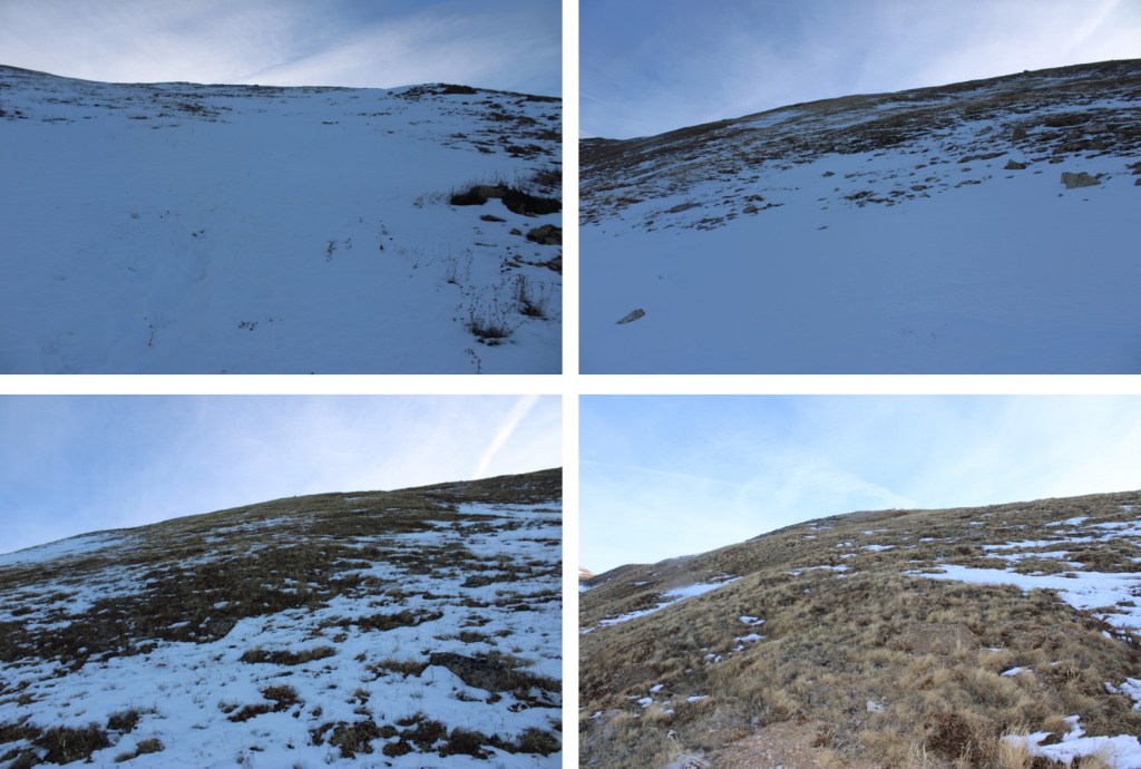
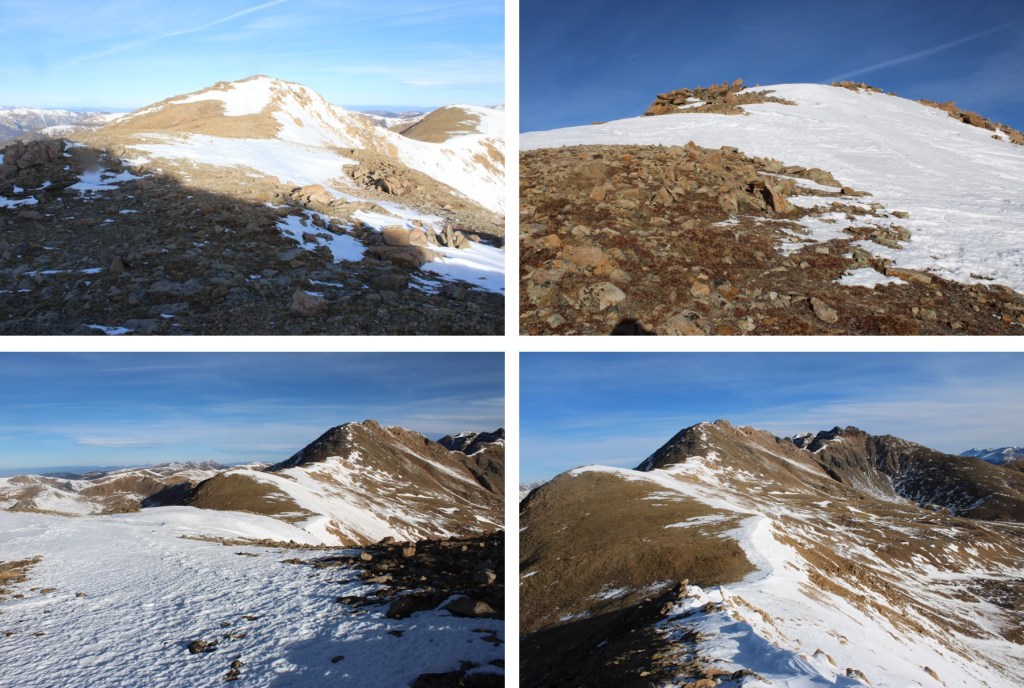
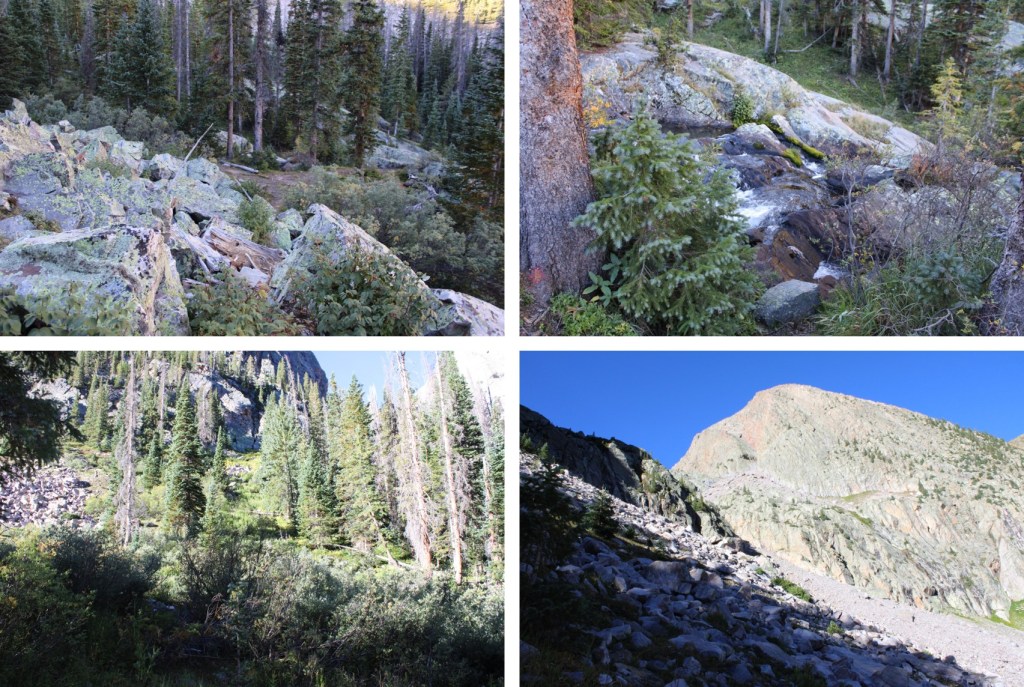
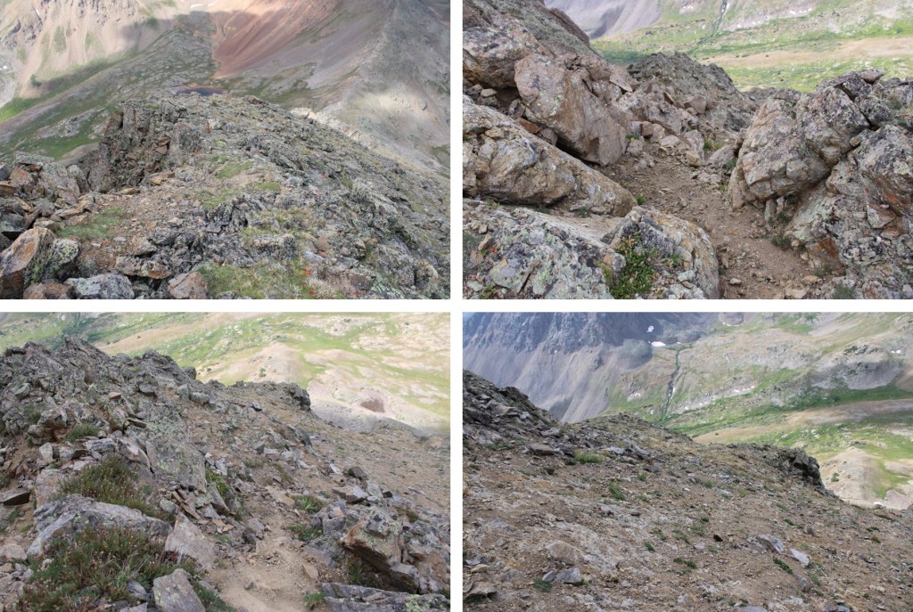
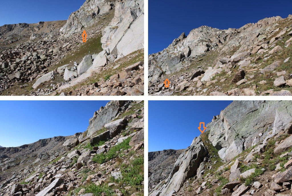
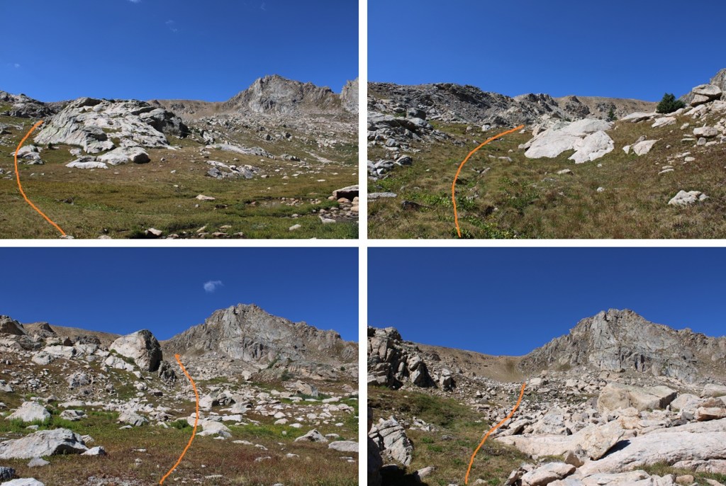
I then found a small gully and gained the ridge on tundra. This was all easy class 2.
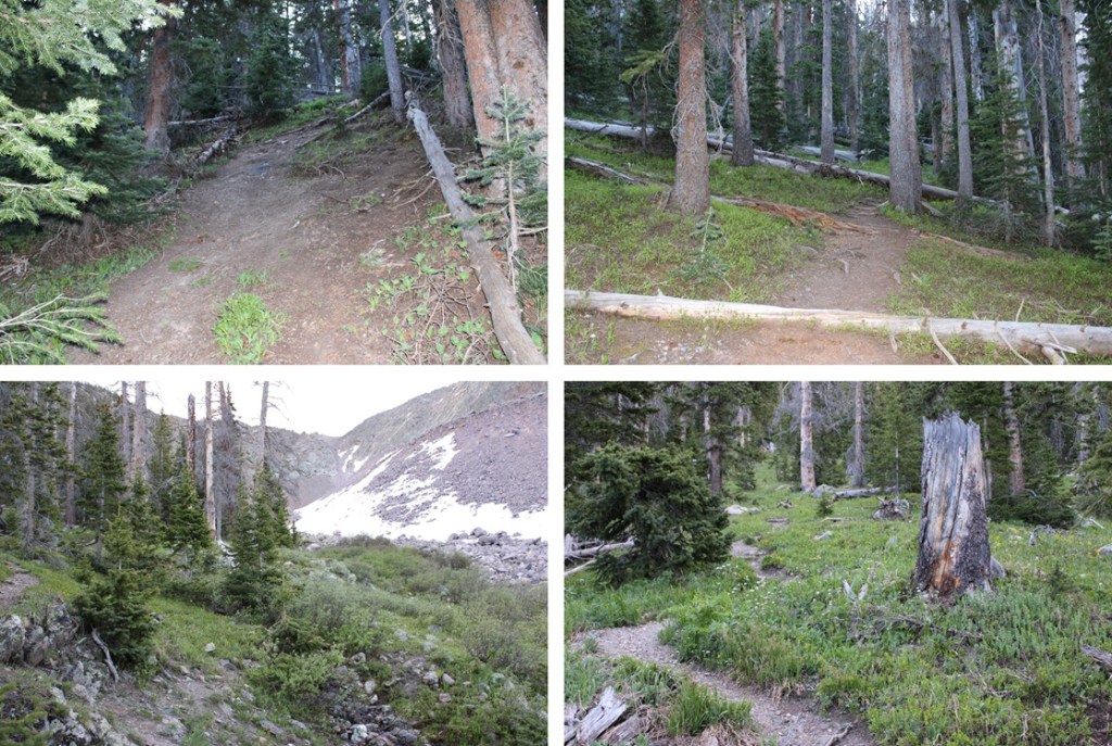
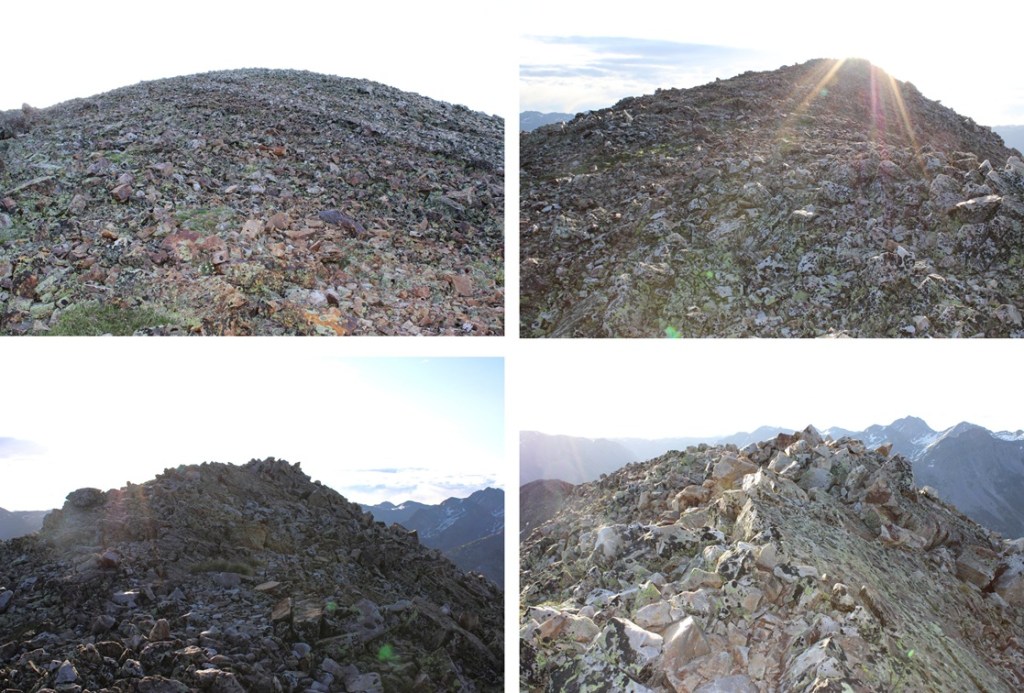
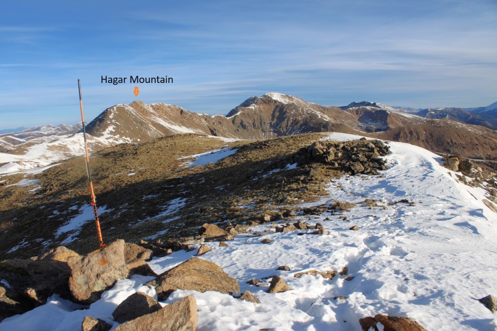
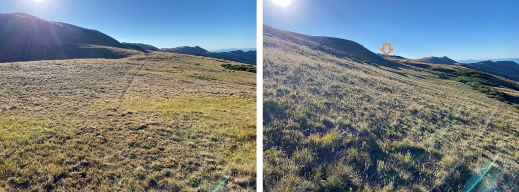
Once on the ridge it was an easy class 2 hike as I followed the ridge west/northwest.

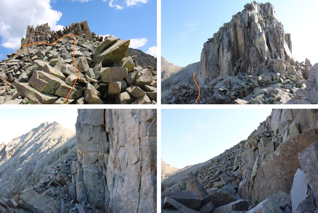
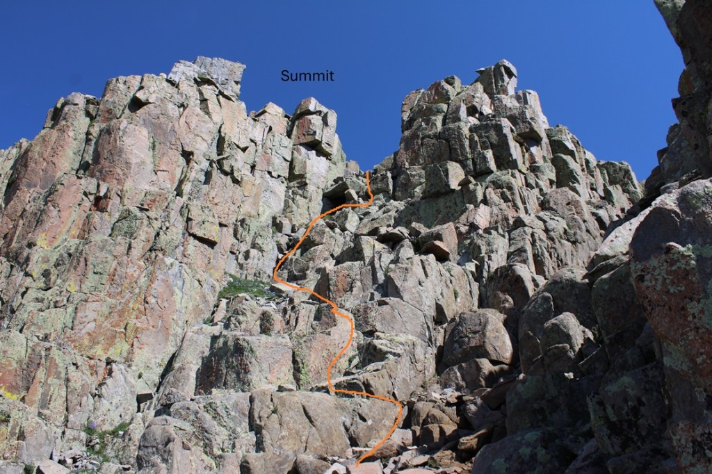
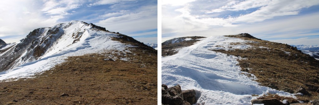
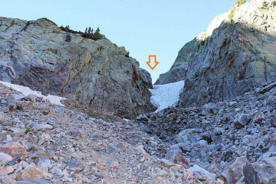
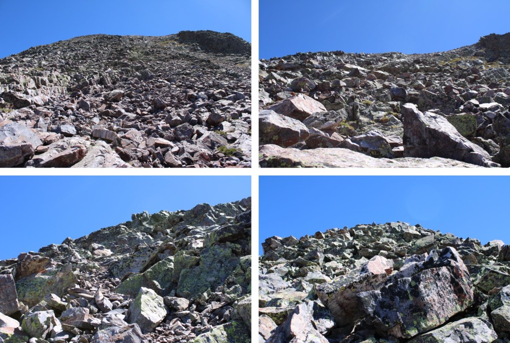
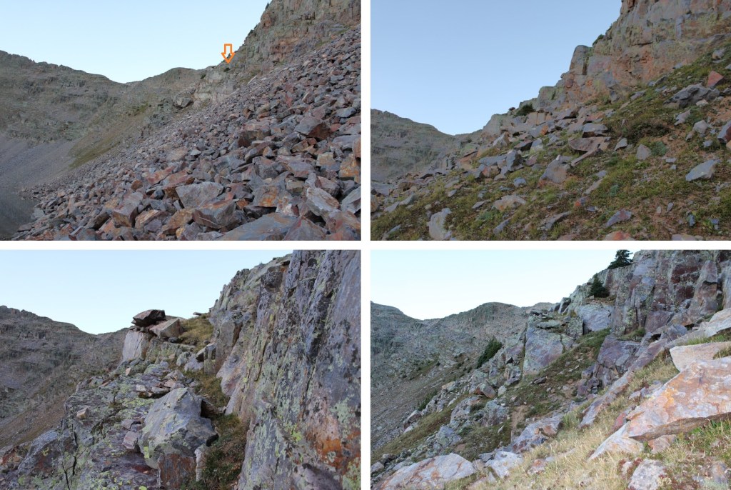
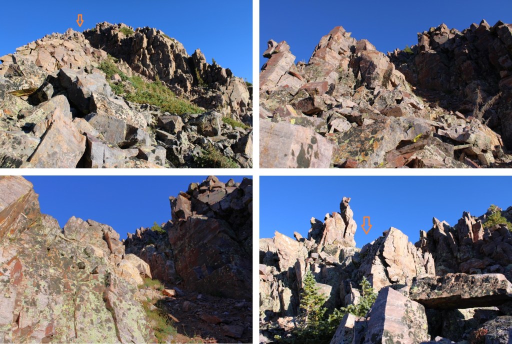
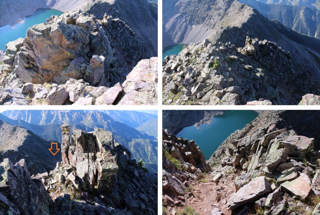
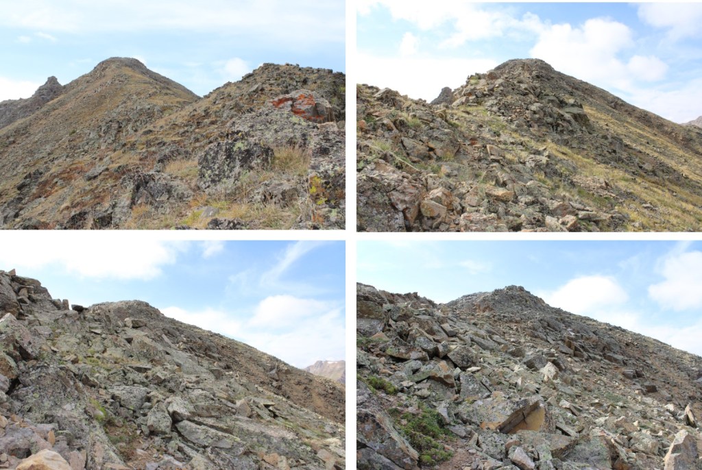
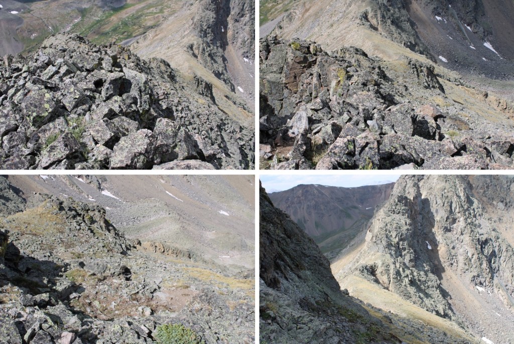
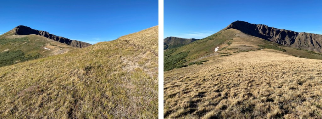
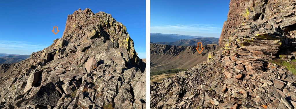
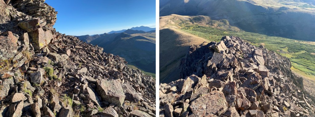
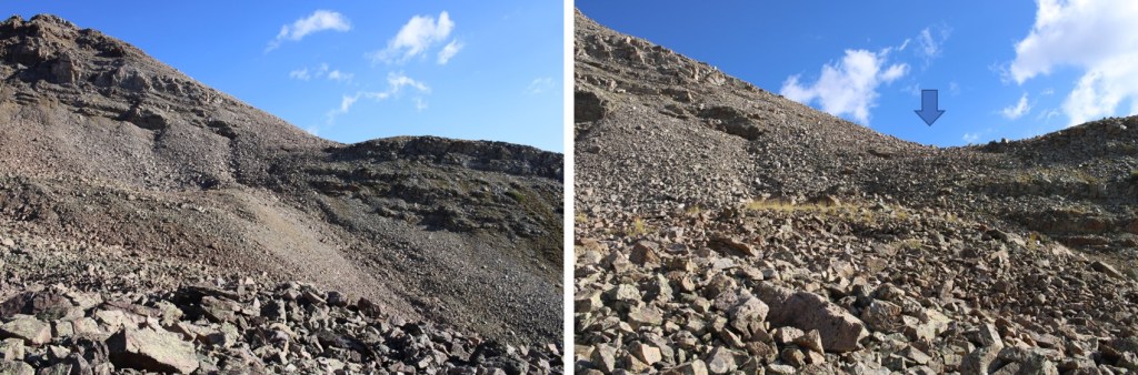
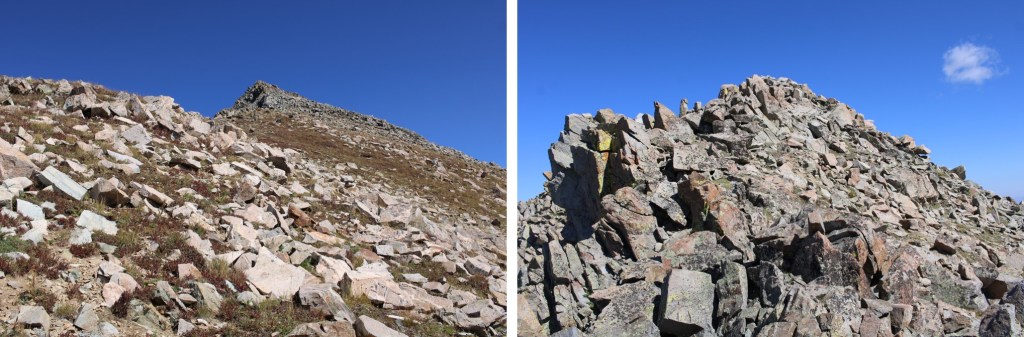
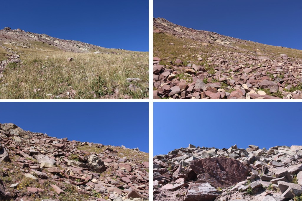
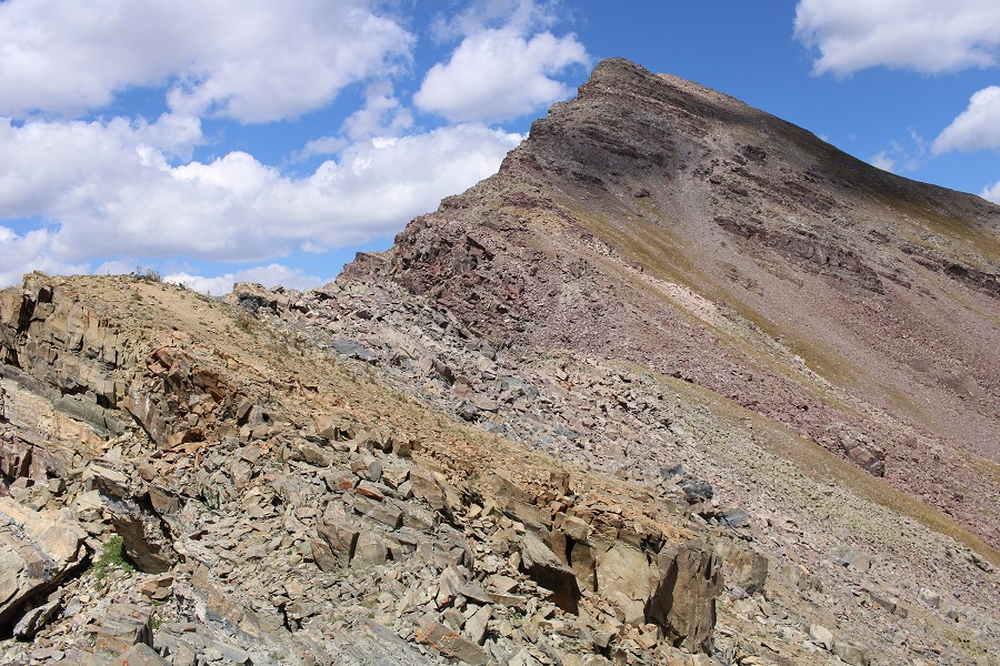
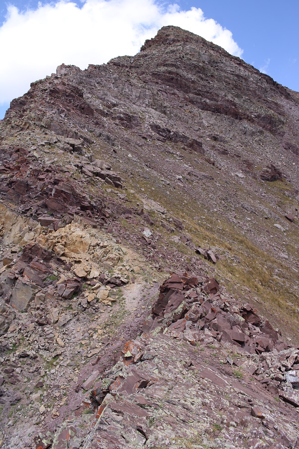
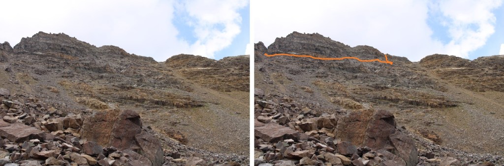
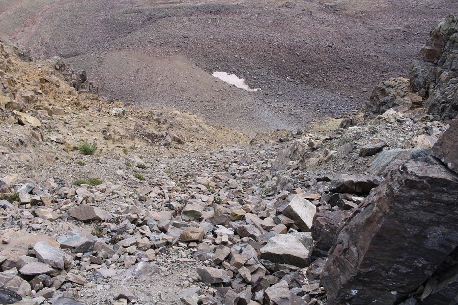
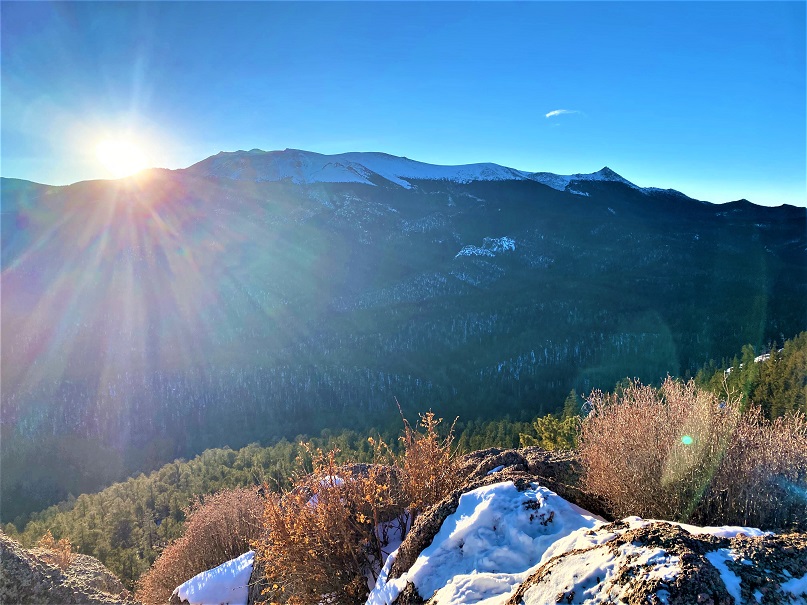
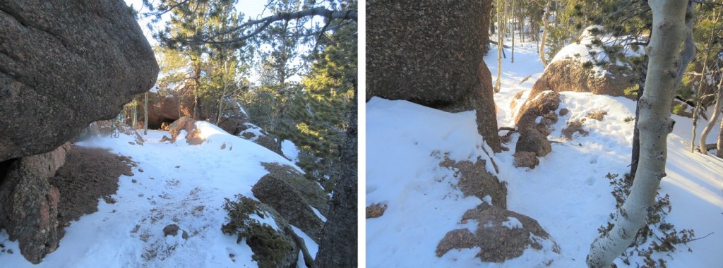
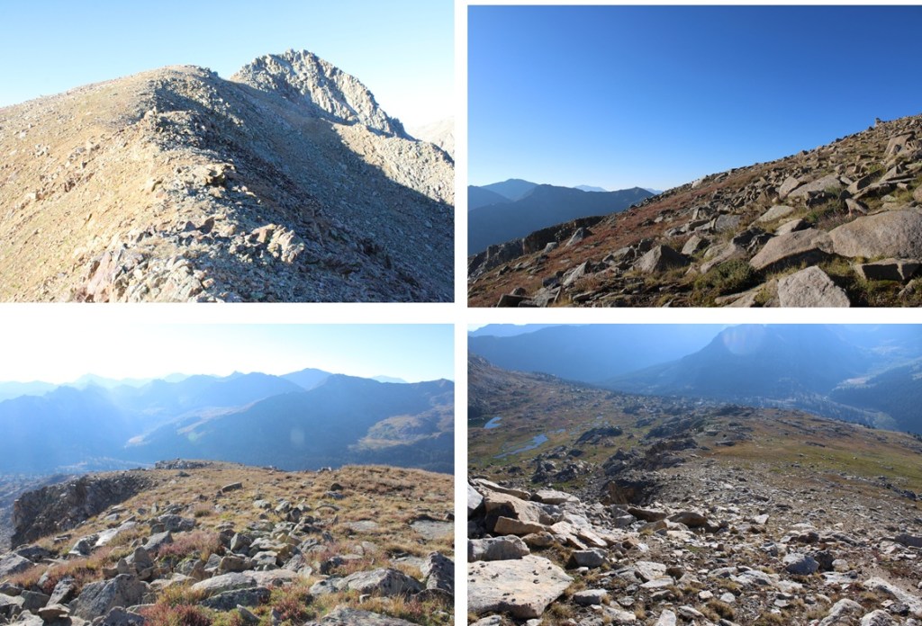
At the top of the ridge I could see 13024 to the right. I followed the ridge on class 2 terrain to the base of the rocky area. From here it’s only 1/10th of a mile and less than 200’ of elevation gain to the summit. It’s mostly class 2 or easy 3, but there was one class 4 move I didn’t feel comfortable attempting without ropes. Where the orange line ends is where I stopped, about 100’ from the summit.
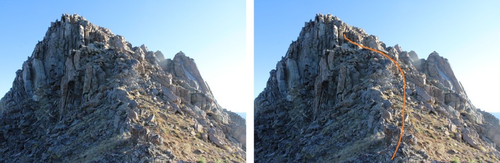
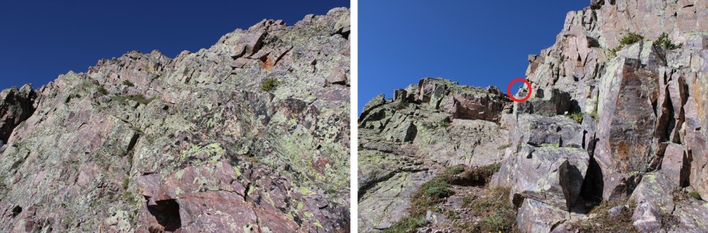
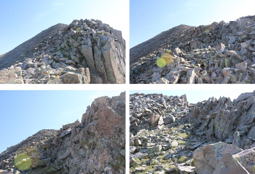
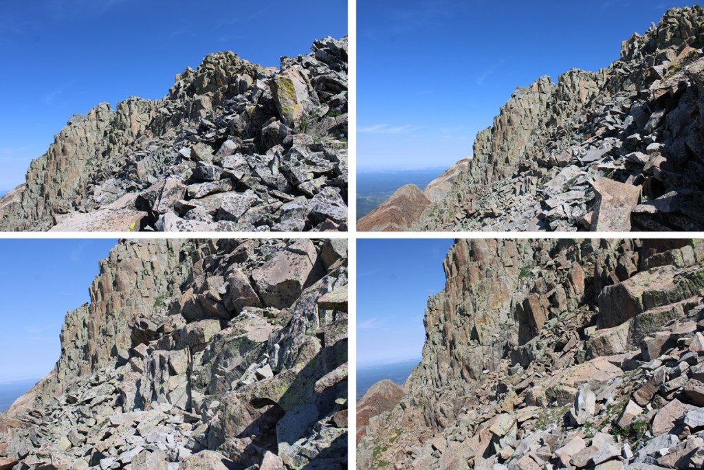
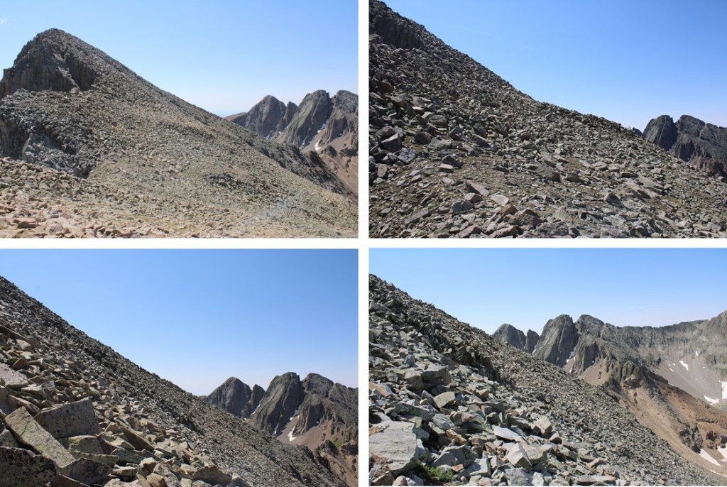
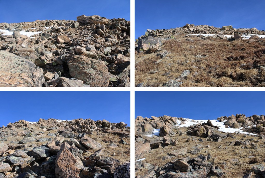
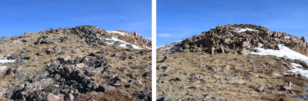
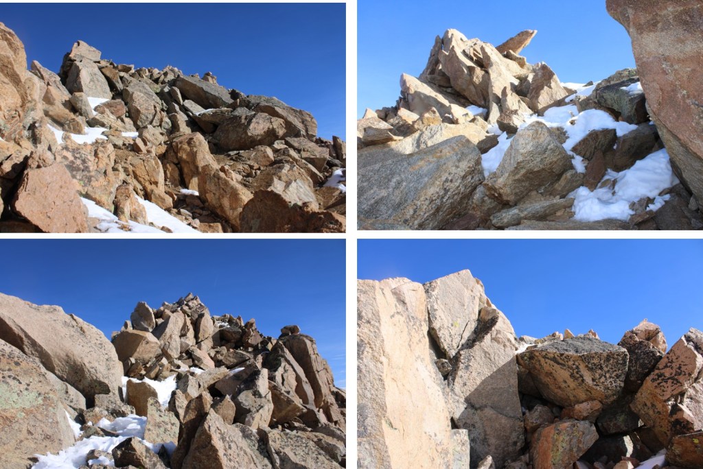
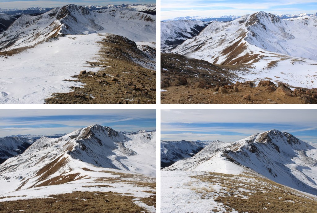
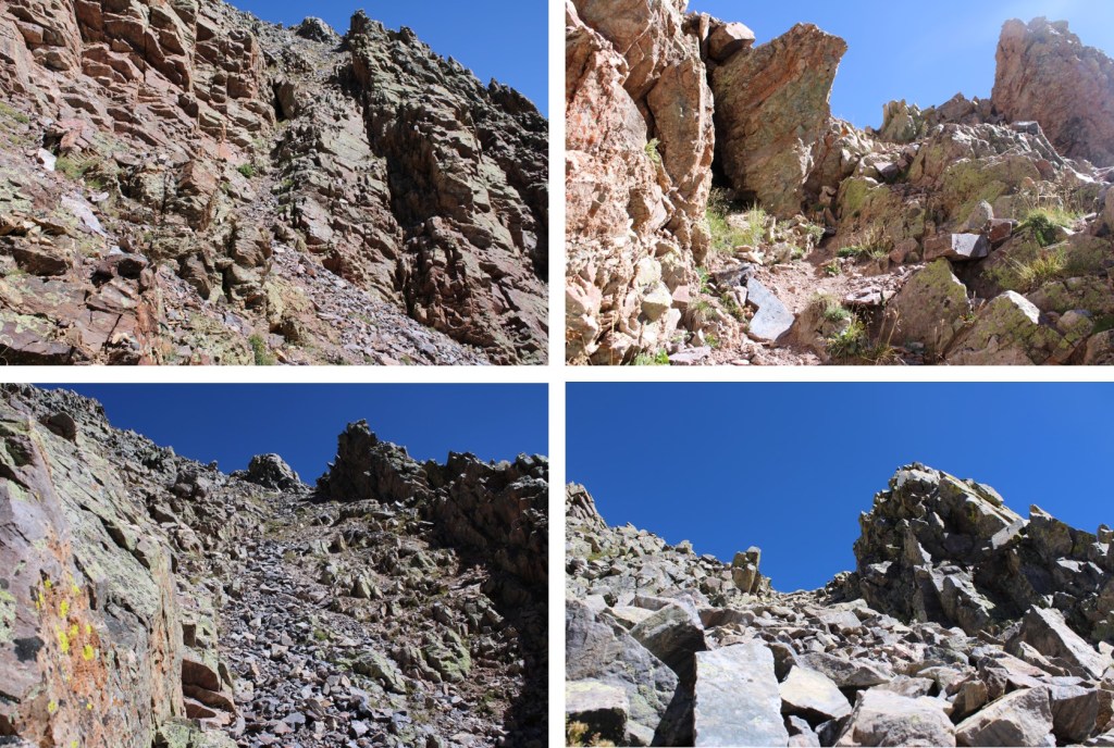
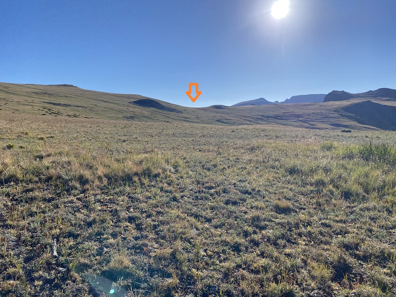
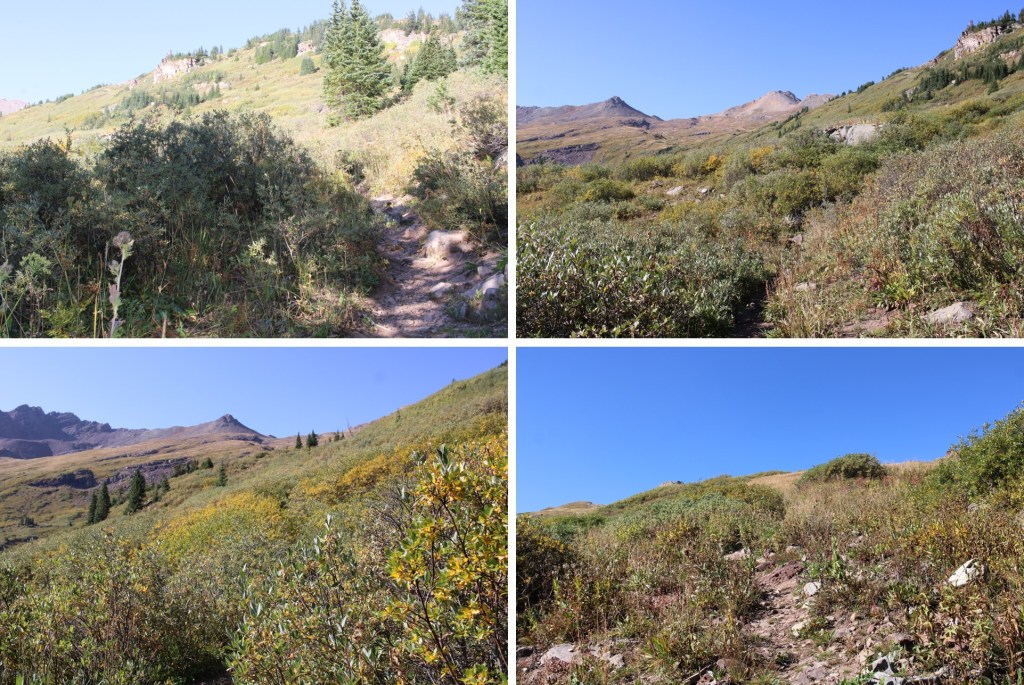
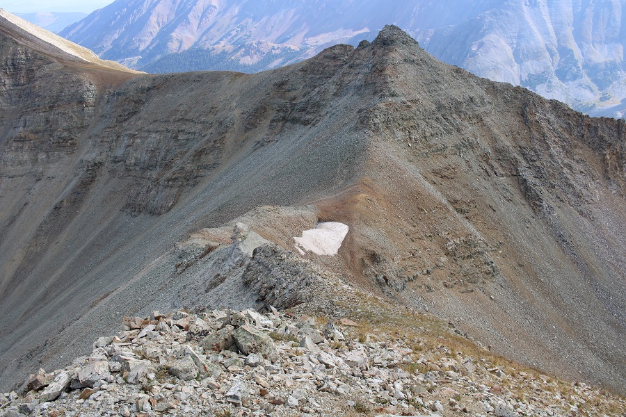
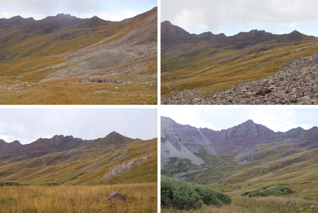
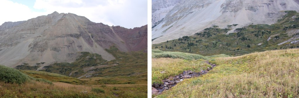
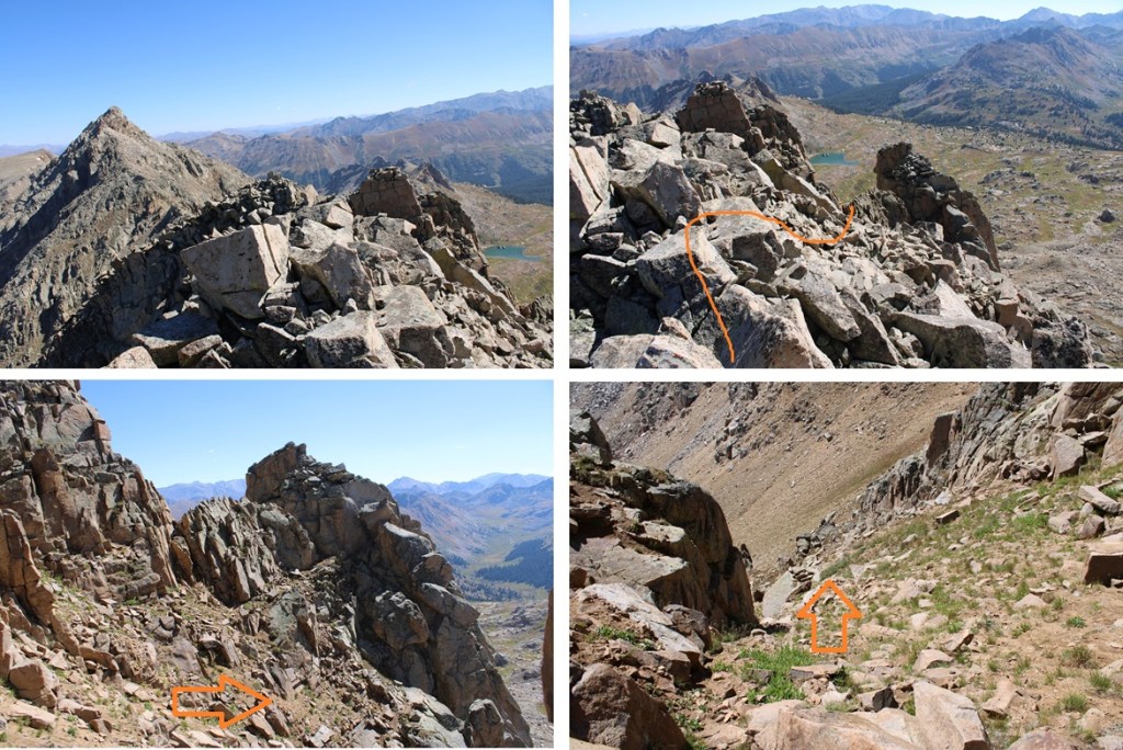
Here are some pictures of the route to that point.
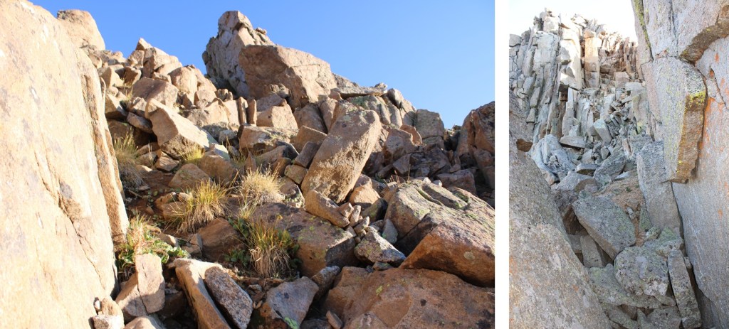
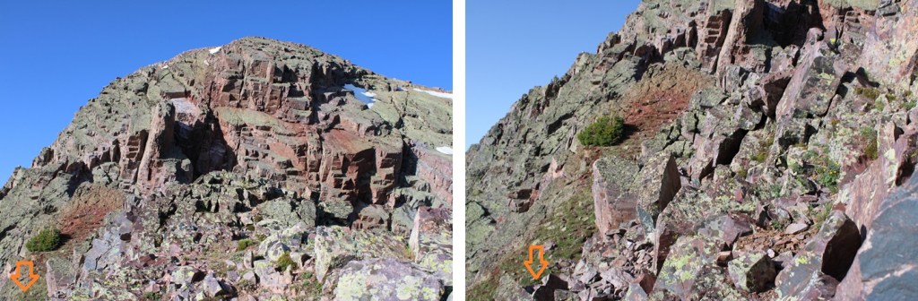
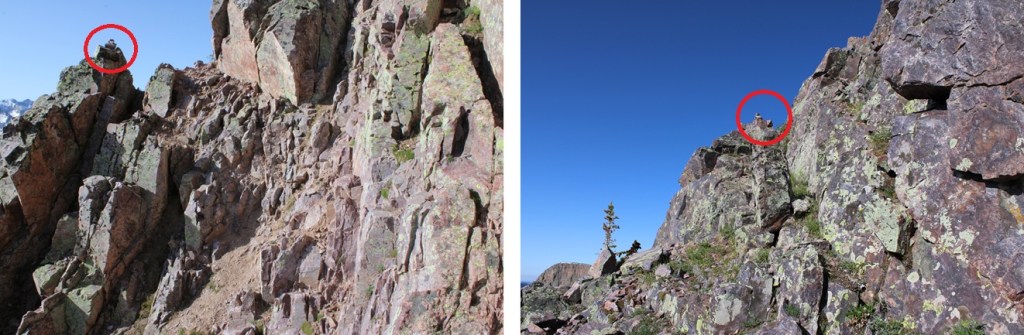
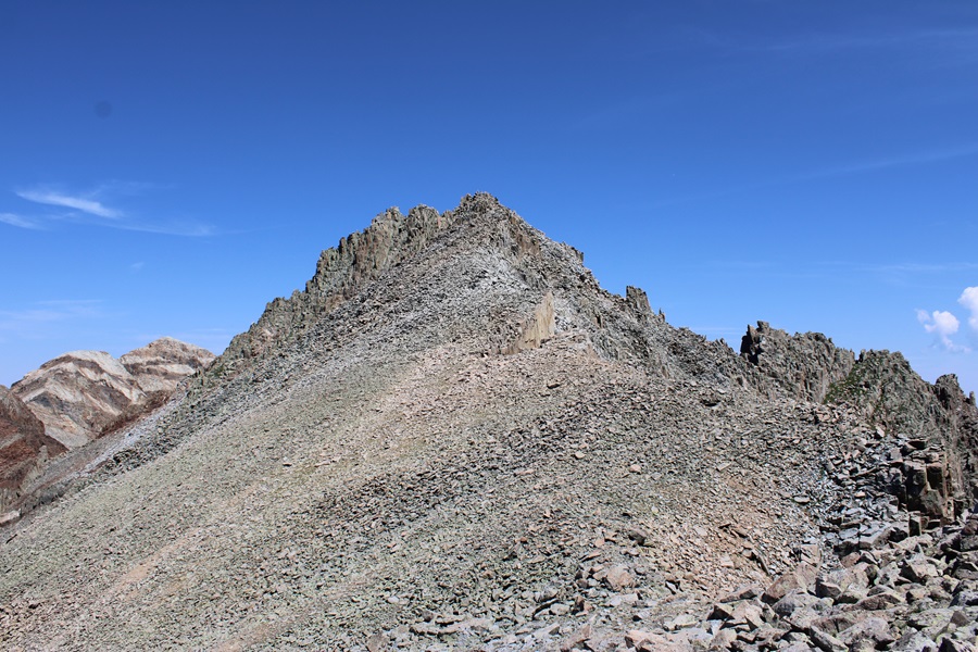
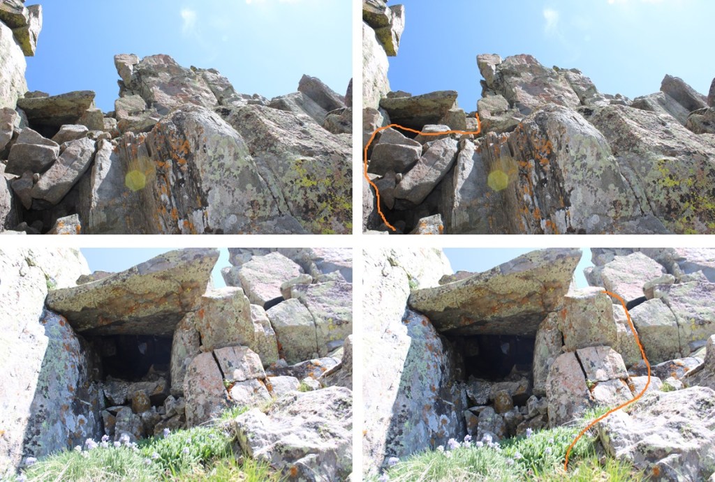
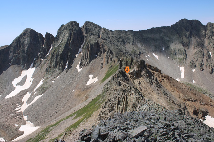
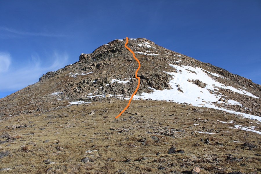
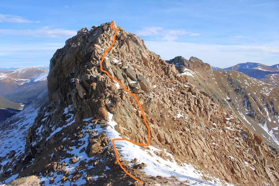
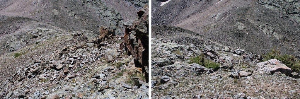
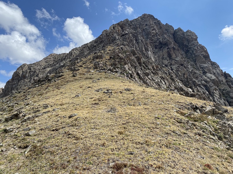
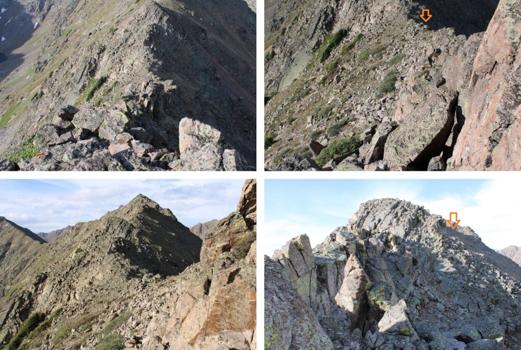
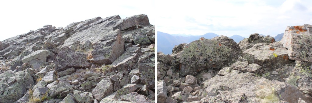
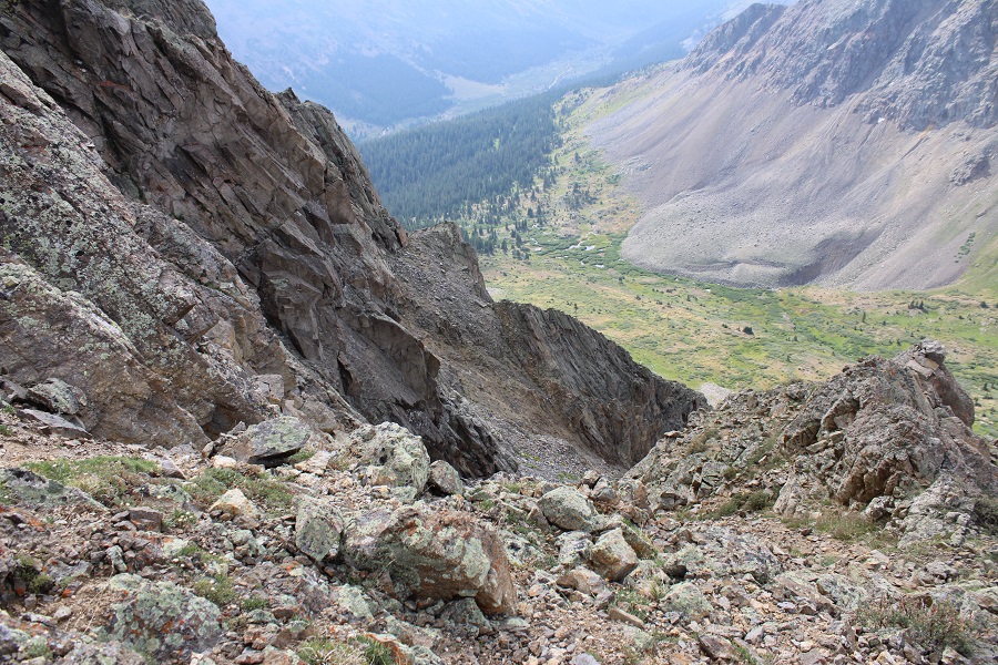
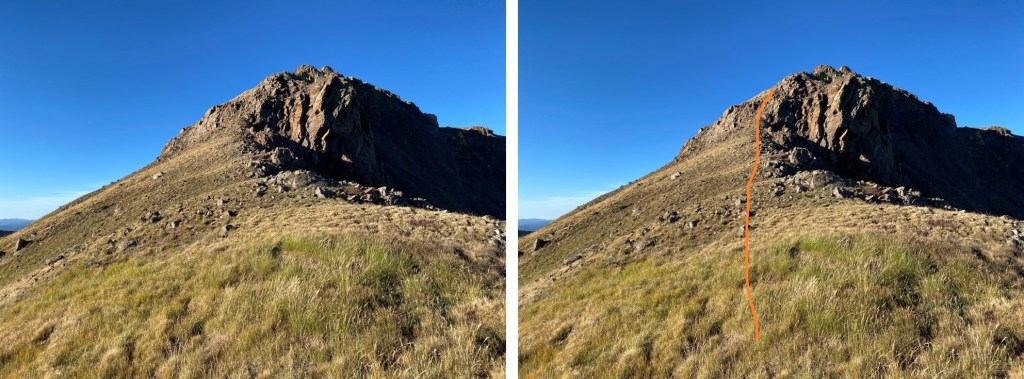
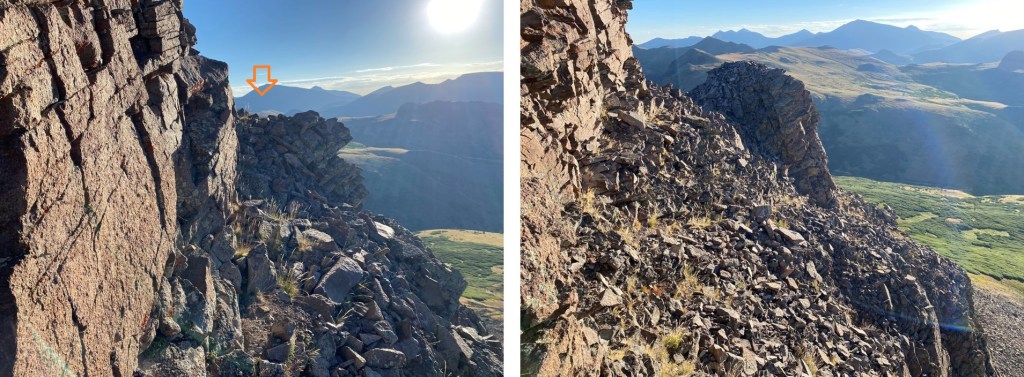
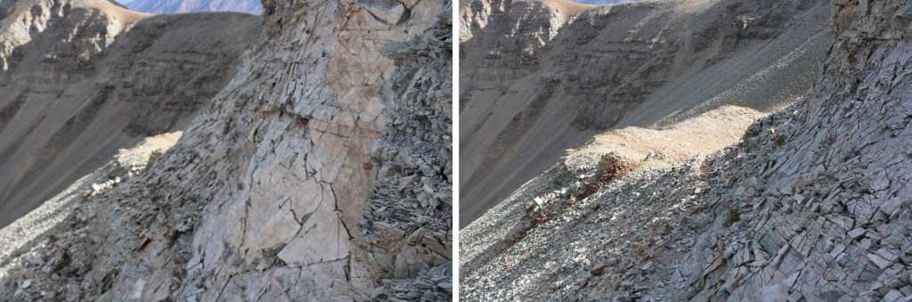
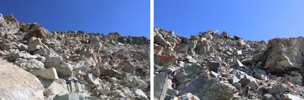
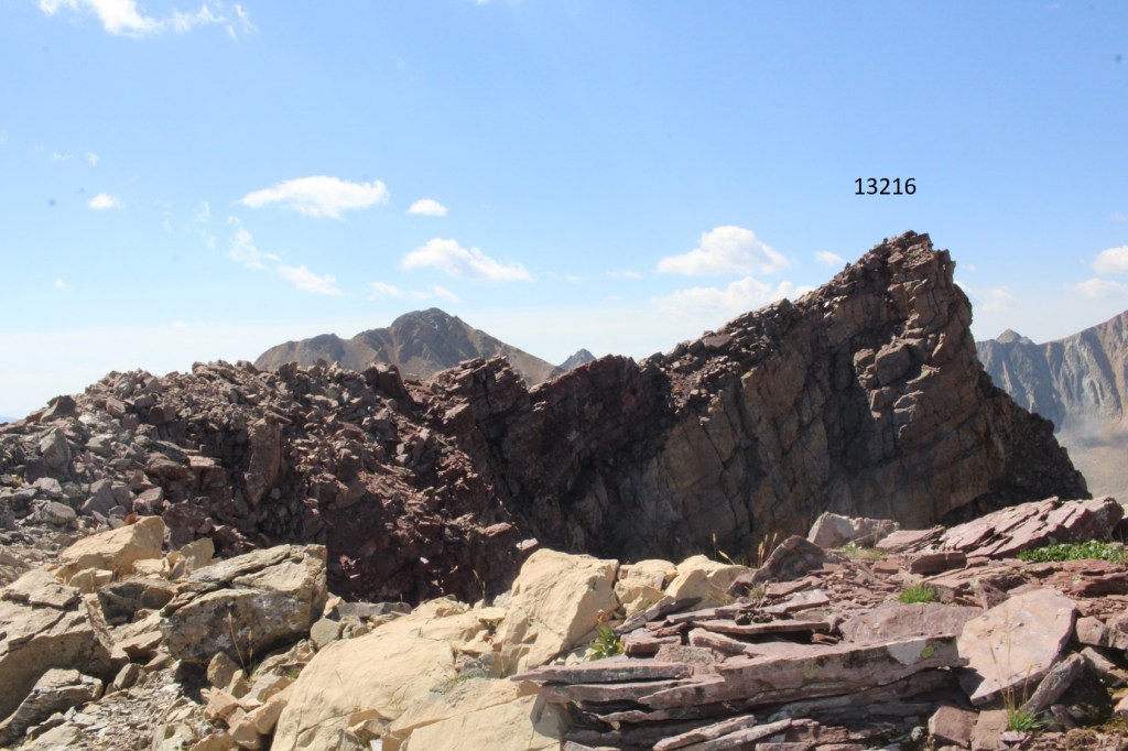
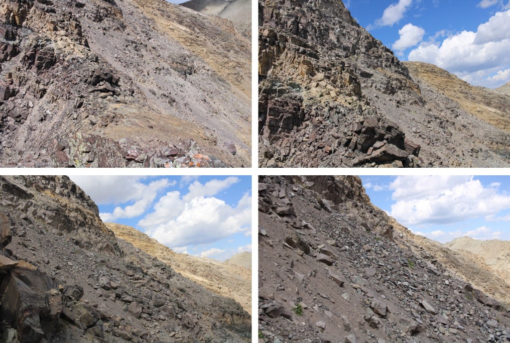
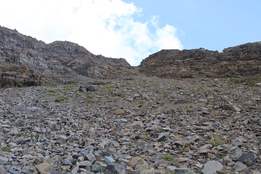
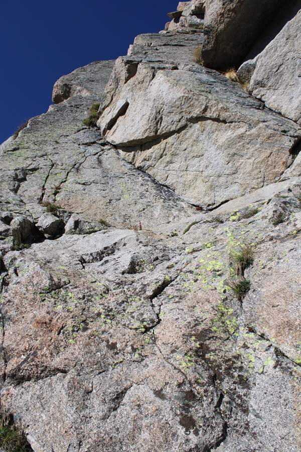
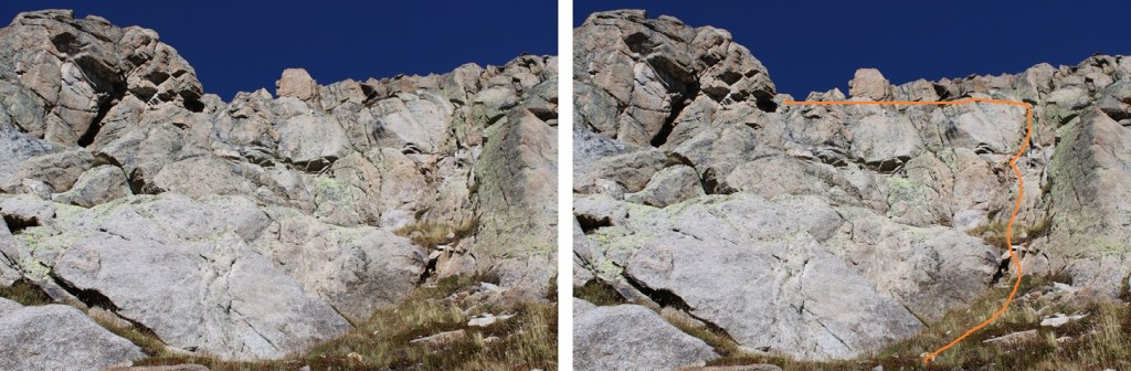
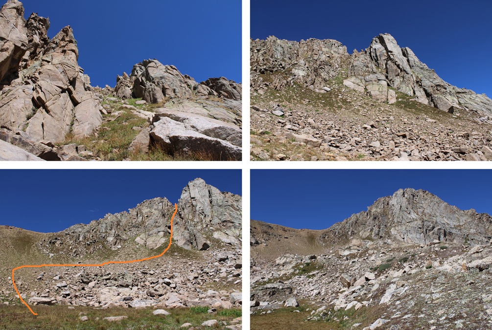
This was the move that I didn’t feel comfortable attempting without ropes. It was very similar to the final crux on Jagged after the rockfall, but when I was there I had rope to help me. The rocks above this problem overhang several feet over what look like easy steps from below, and it’s steep on all sides and all the rocks are loose, making depending on them for support/balance poor judgement. The picture doesn’t do this area justice, and it wasn’t until I was under the rocks I realized the difficulty. If I saw this picture, I’d go for it, but when I was there I knew it was too dangerous for me to do solo. I could see where I needed to place my hands/feet, but I wasn’t tall enough to make the moves. Rock climbing shoes might have helped, and a rope definitely would have, but I had neither. I spent about 15 minutes trying to find a way up/around this, and in the end turned around. I’d just been on an amazing podcast (seriously, you should listen to it just to know the podcaster: it’s called “Going in Blind” and will change the way you think of your own life experiences). We talked about failed attempts, turnarounds, risk tolerance, etc. and this move was above my risk tolerance for soloing. How terrible would it have been if I’d just talked about my many, many failed attempts and turnarounds and attempted this and failed because I was overconfident? I’d look like a fool. If I’d been with a friend they could have cheerleader lifted me and I could have pulled them from above but solo I didn’t feel comfortable attempting this move. I felt there was a 75% chance I could make it up, which just wasn’t good enough, especially when going solo. However, if you can get over this class 4 move it’s an easy class 3 climb to the summit.
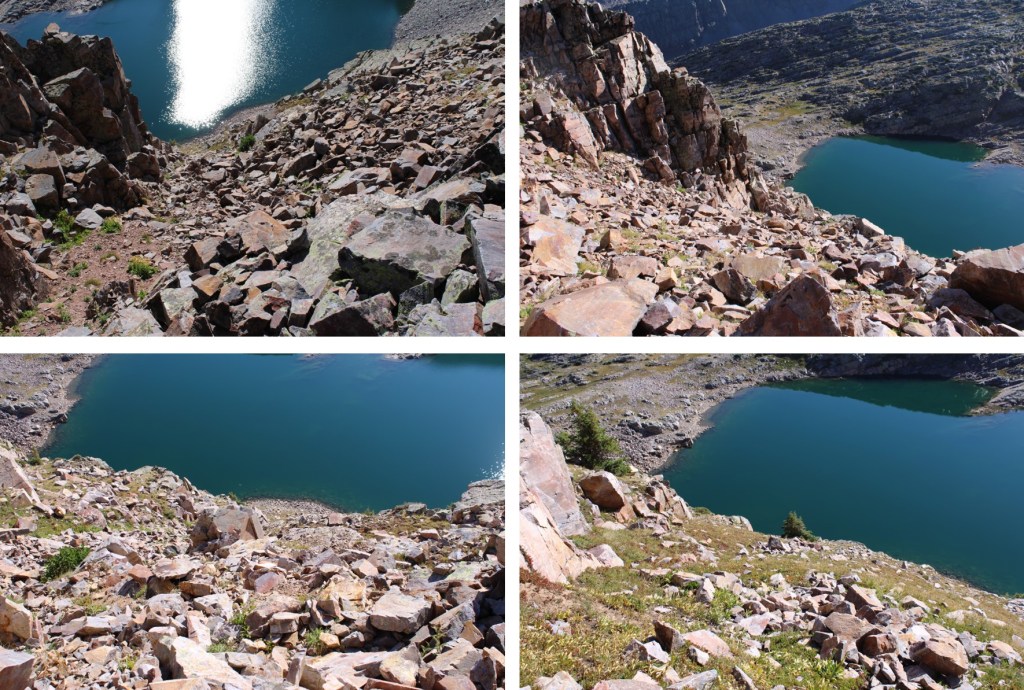
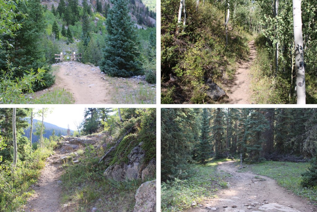
As I said, I turned around and headed back down to the basin, retracing my steps on easy class 2 terrain.
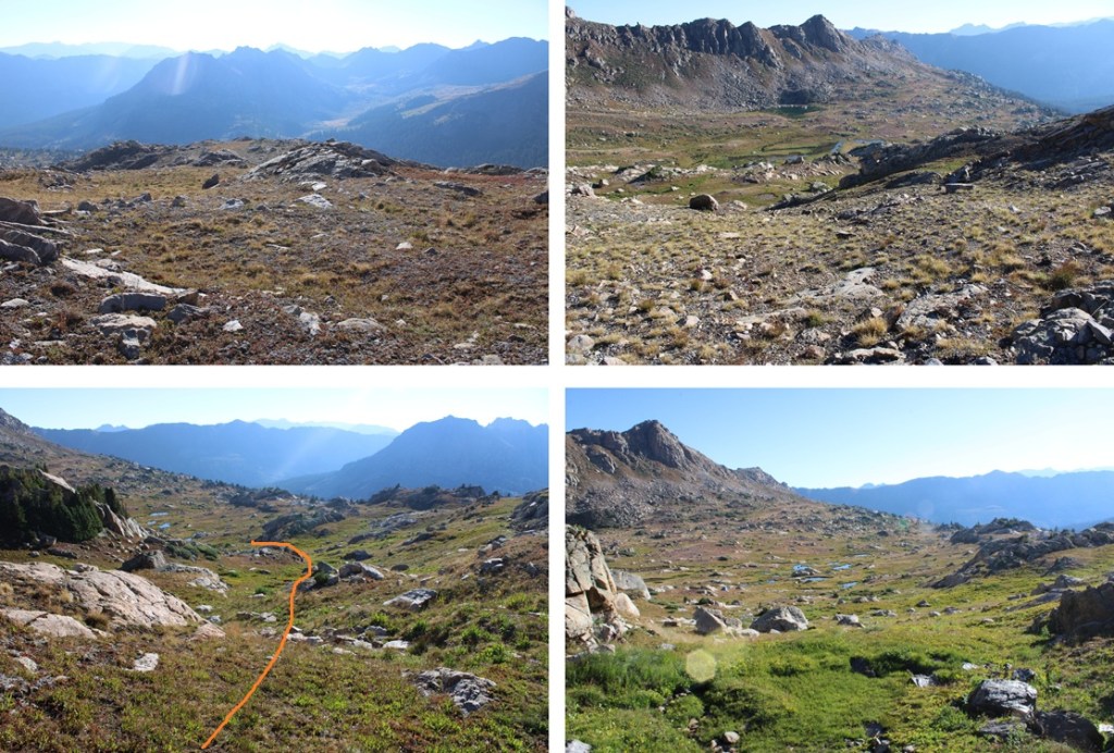
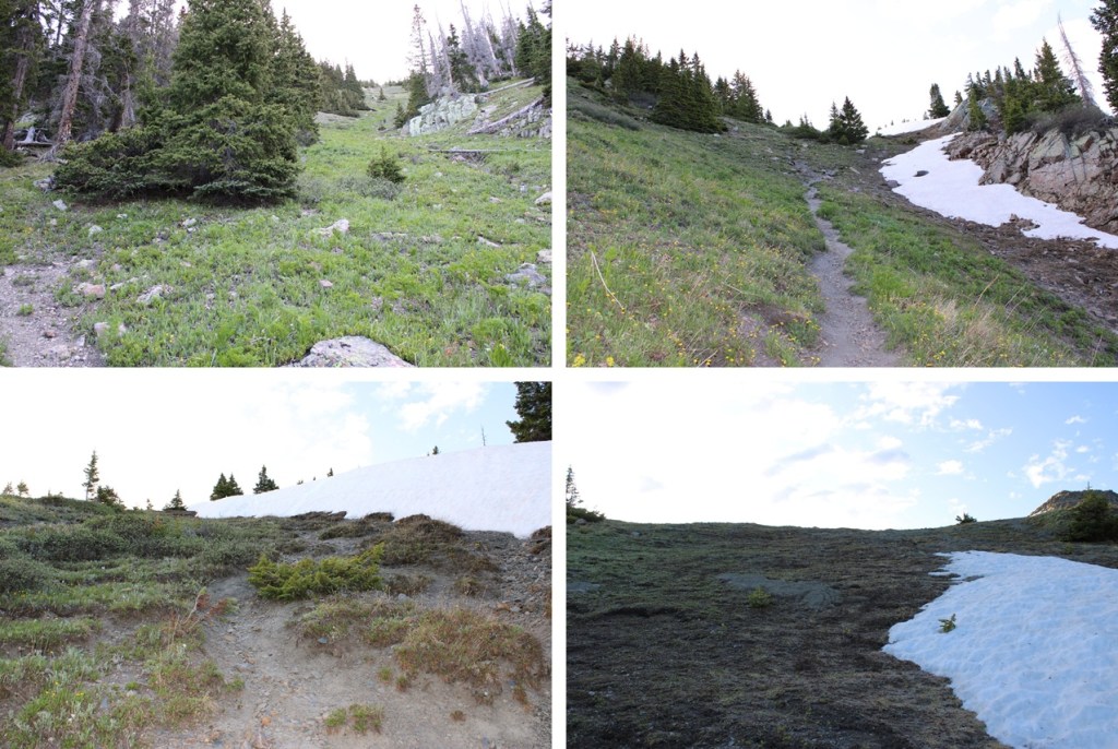
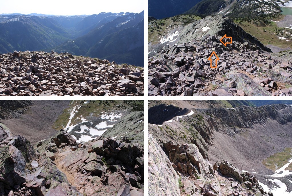
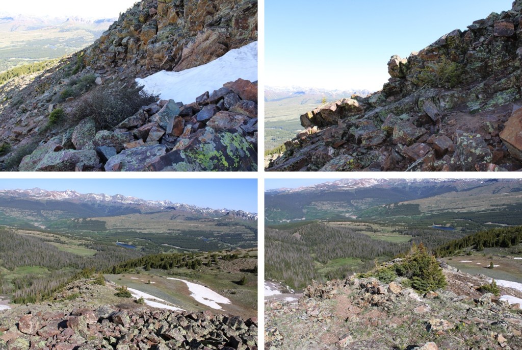
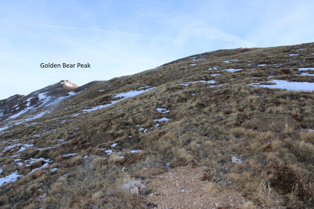
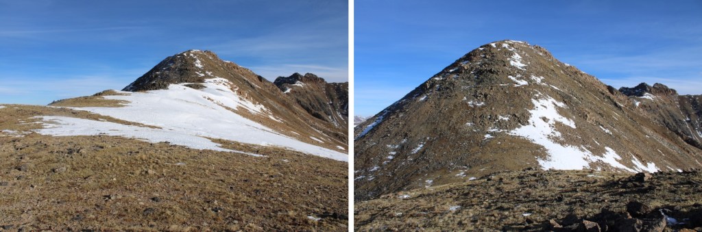
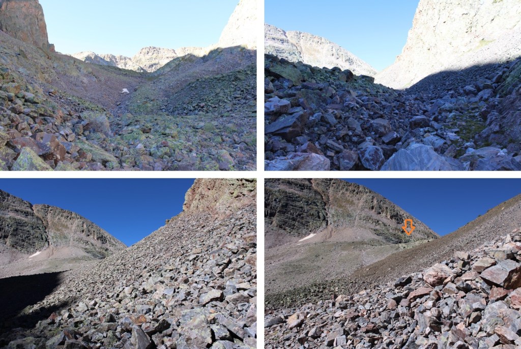
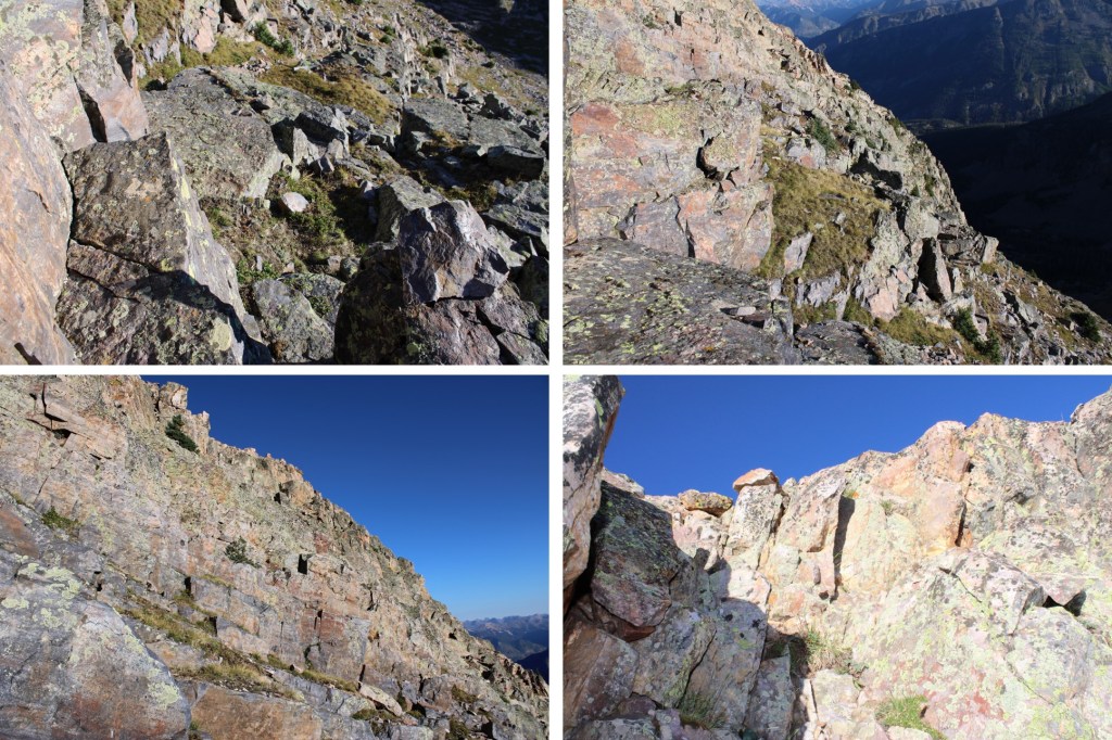
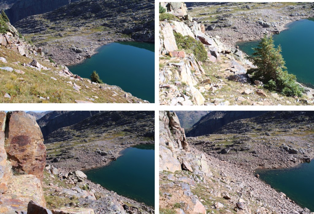
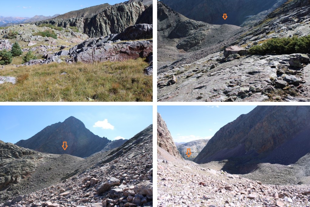
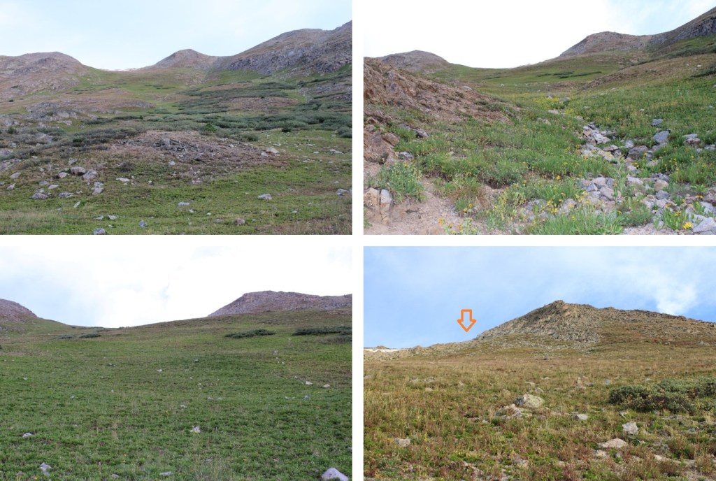
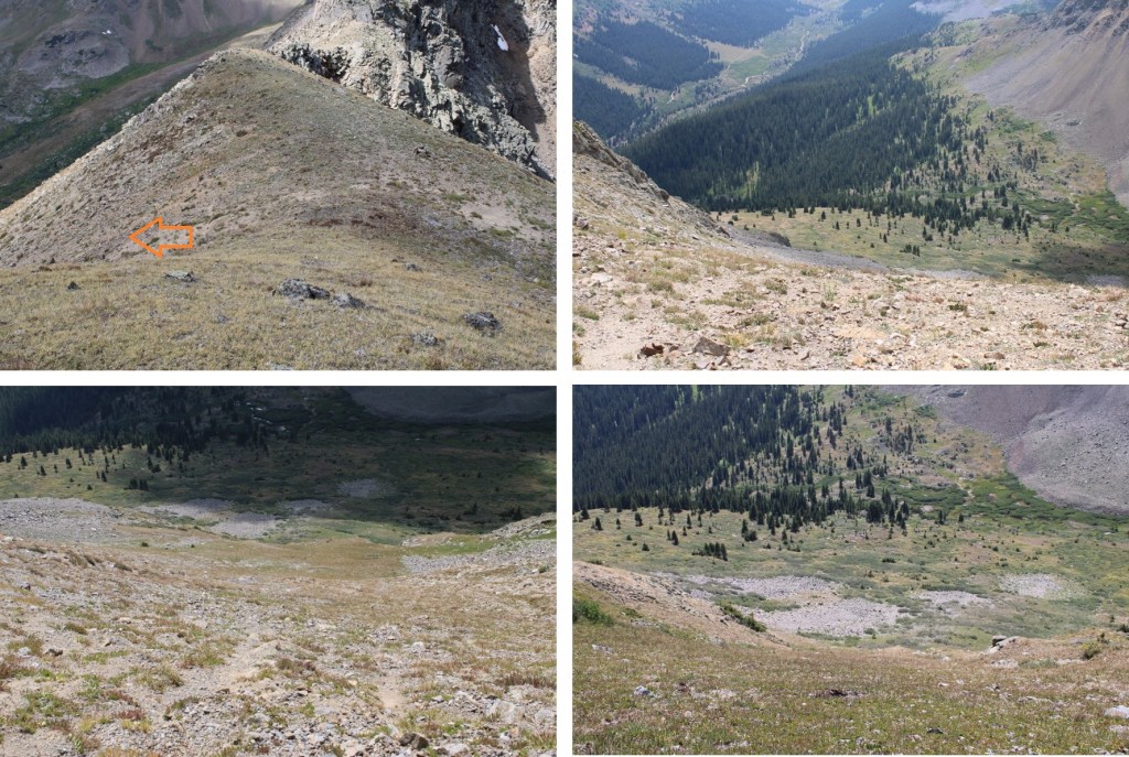
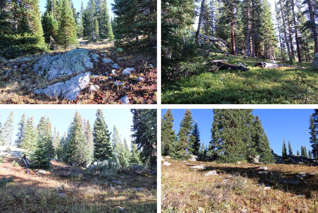
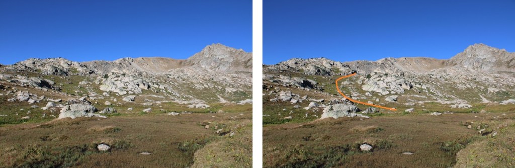
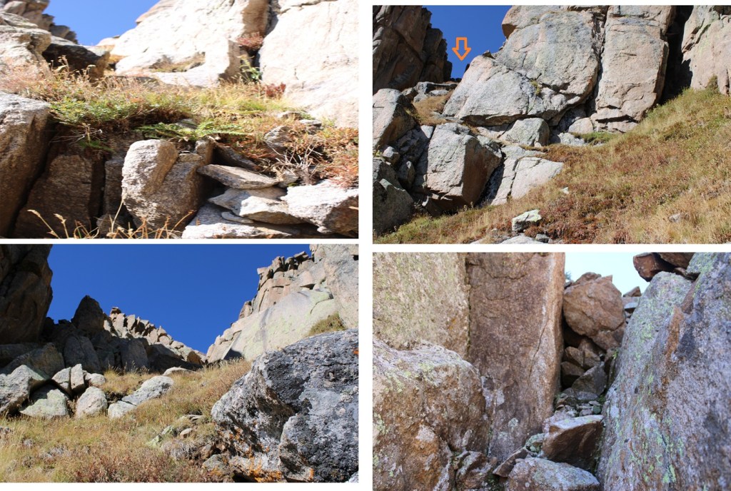
Back in the basin at my campsite it was only 9am. I had a quick snack and started out again, this time taking the pink route up to 13204. I started out by heading northwest up the basin towards the base of a large rock outcropping. This is choose your own adventure, and all of it is class 2, just make your way towards the large rock outcropping.
From the base of this large rock outcropping I looked for a grassy ramp in the distance to the south/southwest. It’s small, and the access point for the rest of the climb.
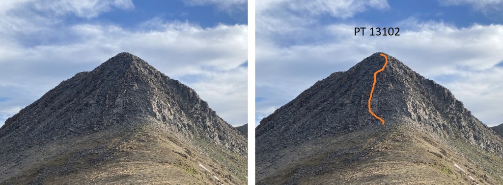
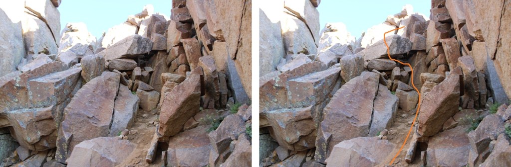
I hiked up the grassy ramp and came to some willows. My beta said from here to climb up the rock slab. This was obviously class 4+ and I once again didn’t feel comfortable climbing up this rock face.
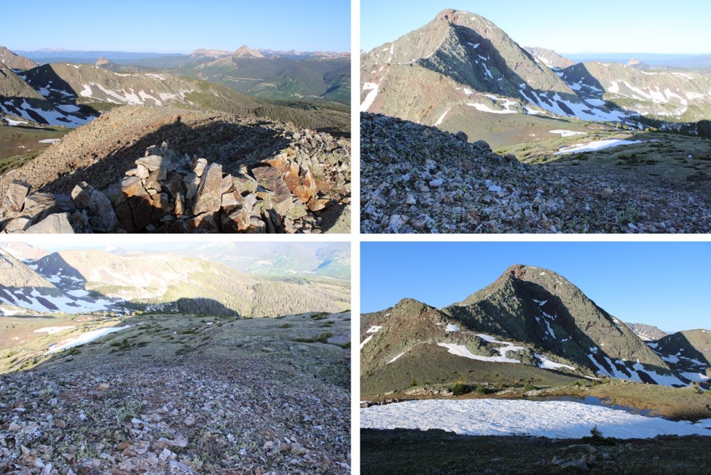
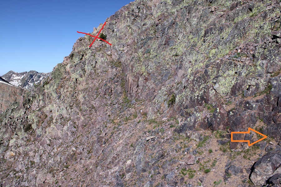
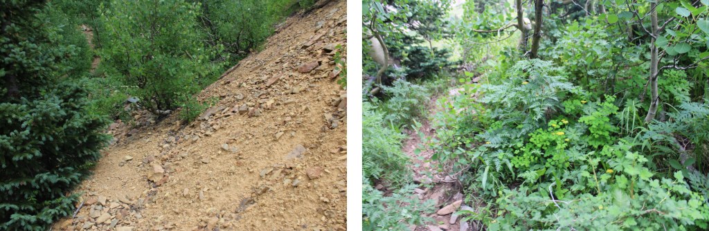
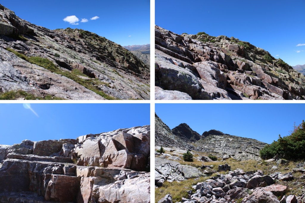
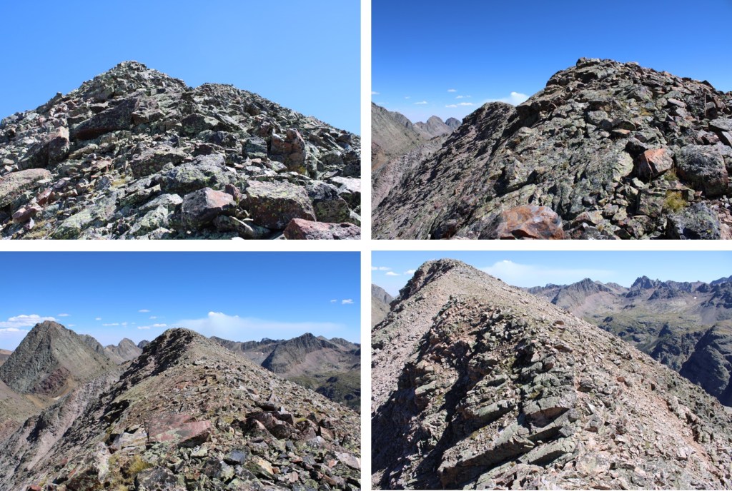
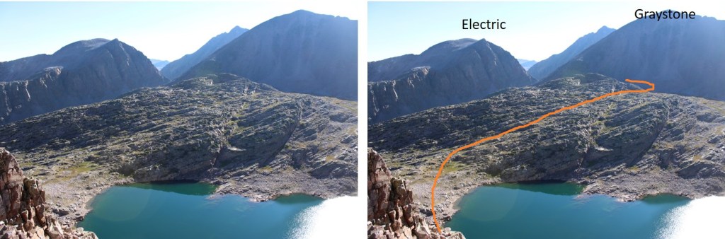
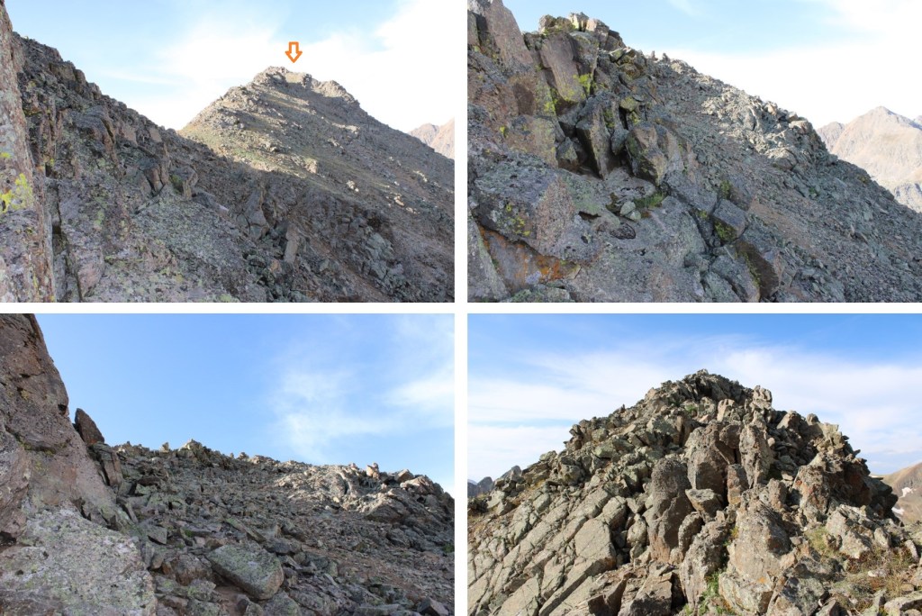
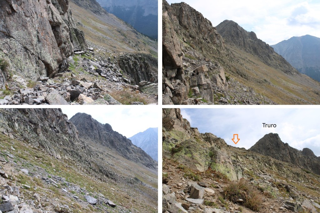
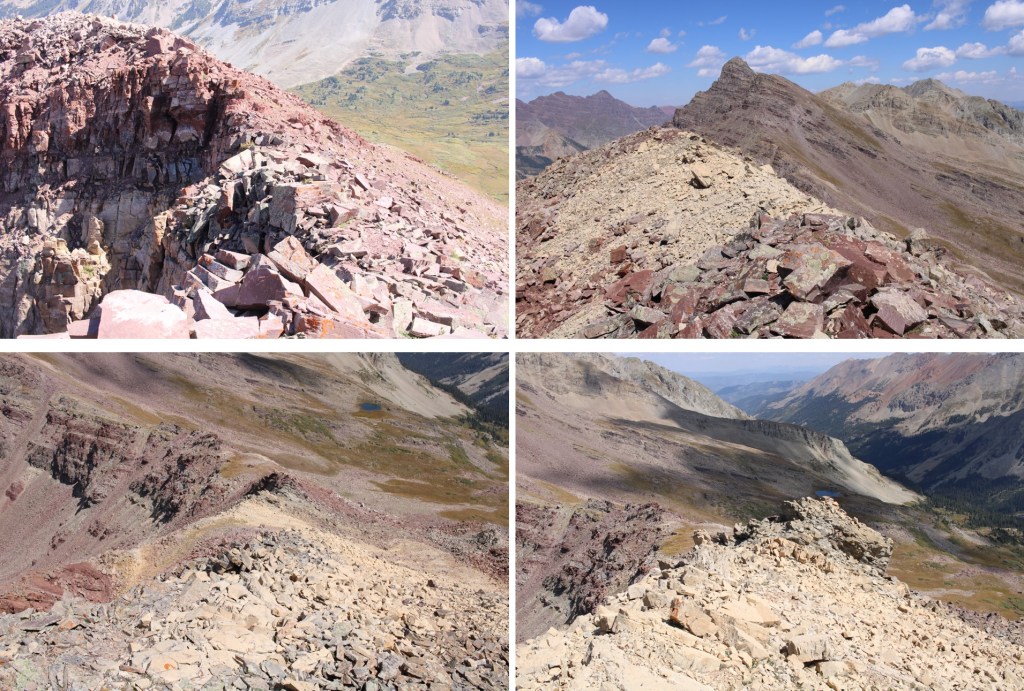
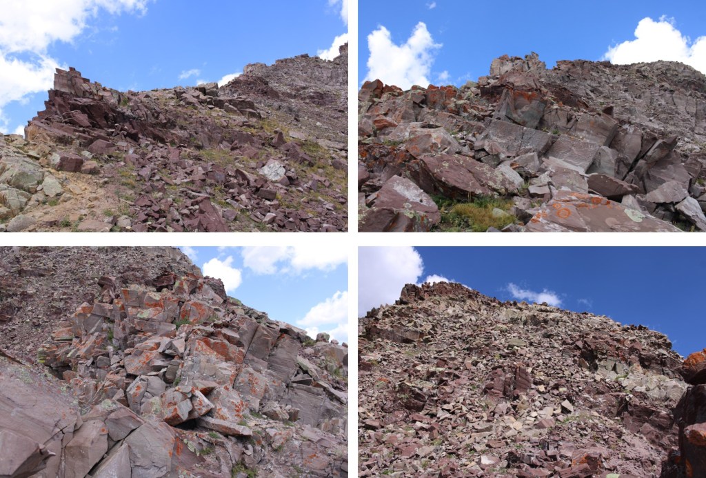
So I did some scouting around. BEFORE you see this rock face and before you make it to the willows (which are obvious) there is a nicer class 3 grassy slope. Take that up and follow it to the left and it will keep you on route but keeps it class 3. There’s some exposure, but I felt much safer on this route, and put up some cairns to indicate where you ascend.
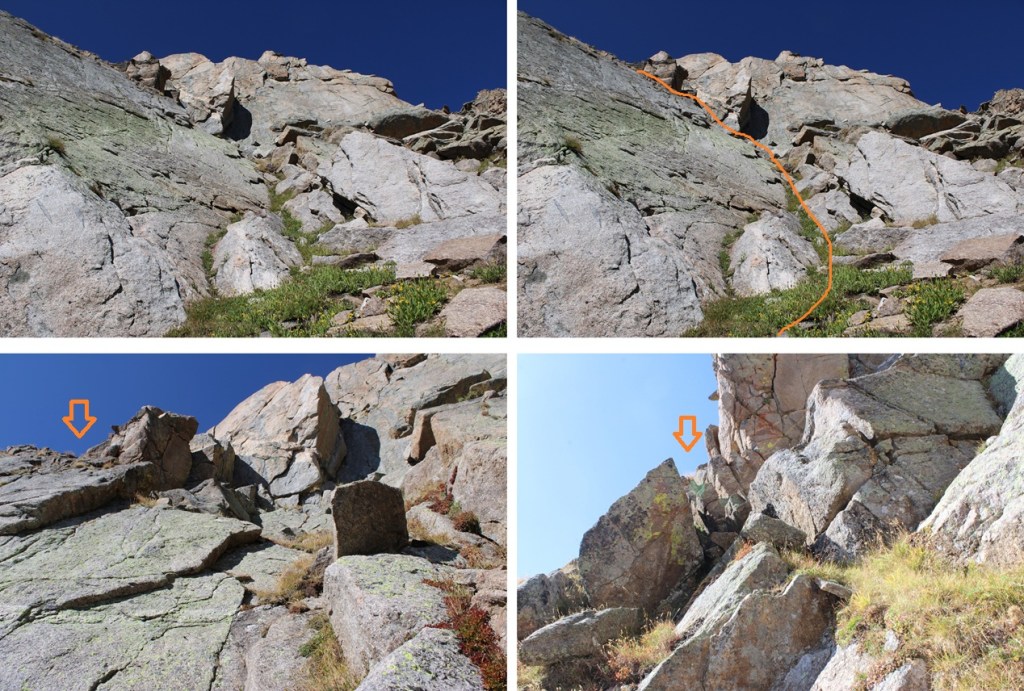
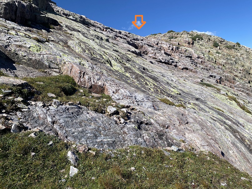
From here on out it’s class 3 choose your own adventure up the grassy slopes. There is exposure here and be extra careful if the foliage is wet (which it was during my trip). I was aiming for a notch in the mountain, heading west.
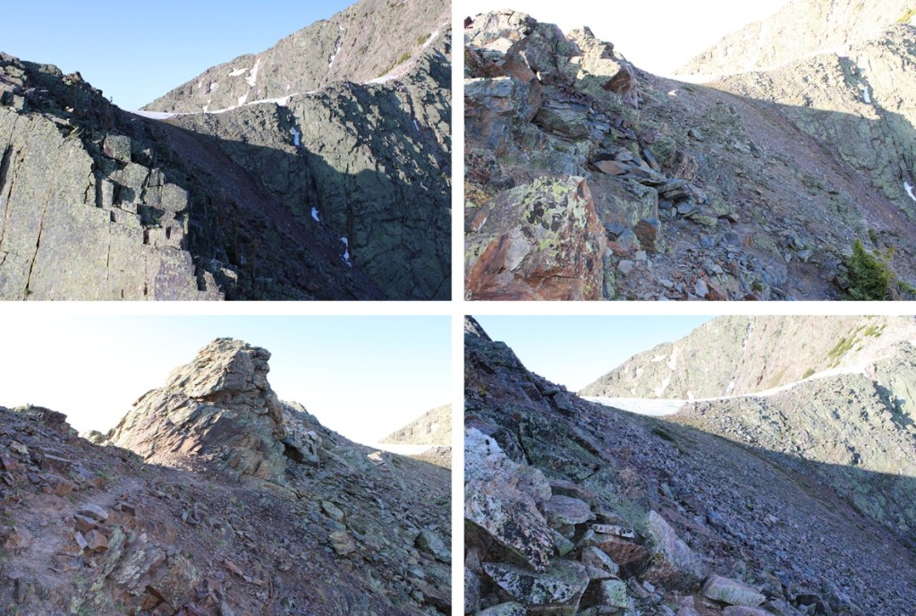
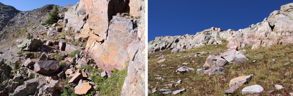
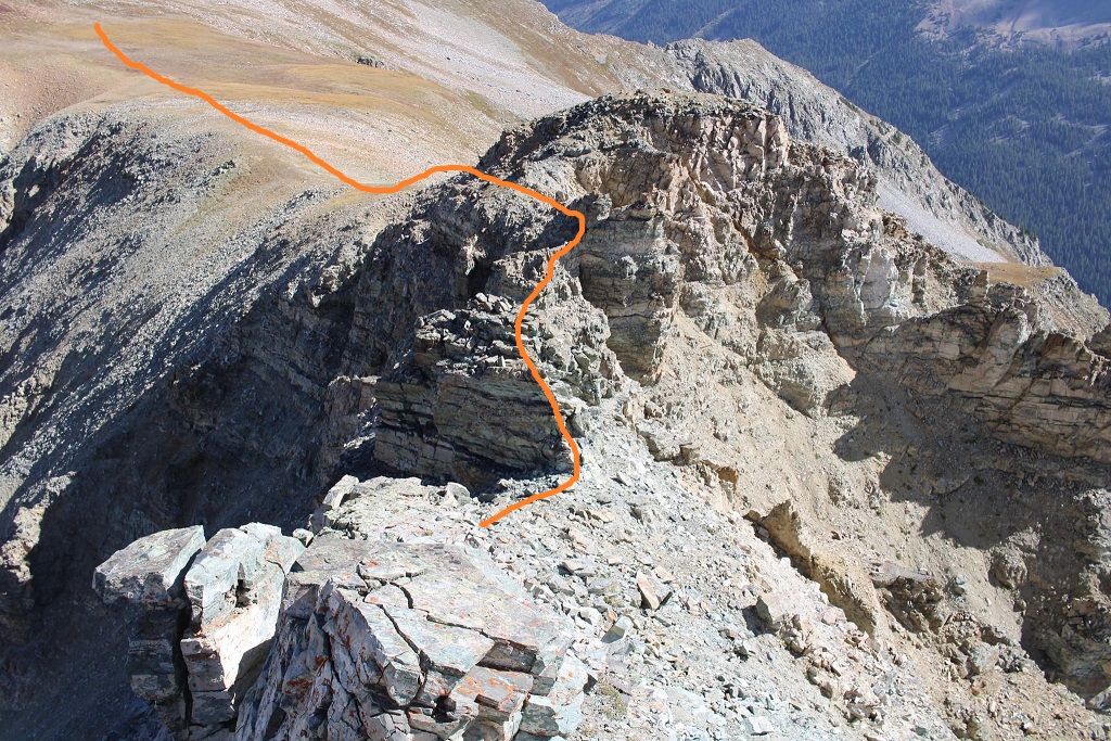
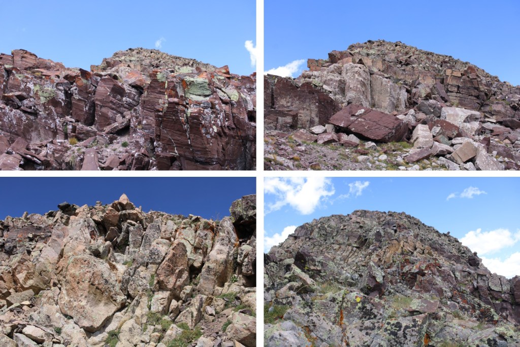
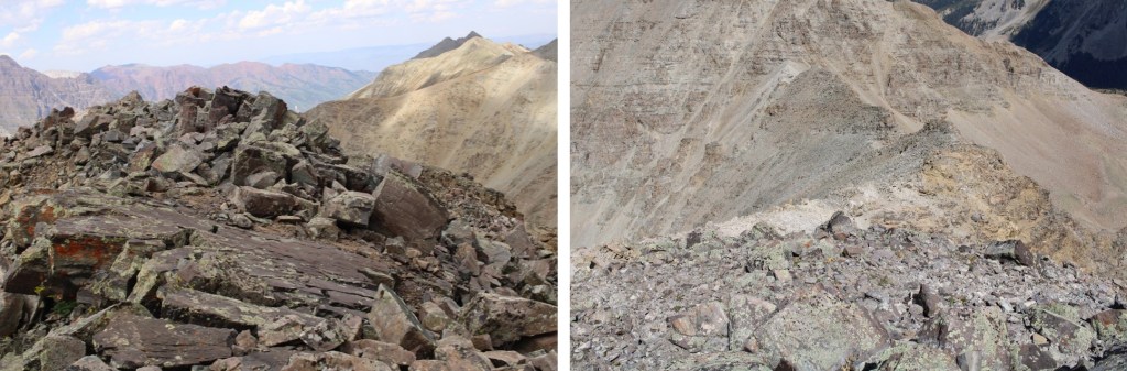
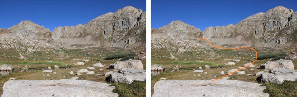
Here’s looking from below the notch, and the route I took, class 3
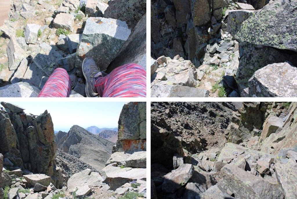
Once over the notch I needed to descend about 20 feet into a gully, then re-ascend to the other side.
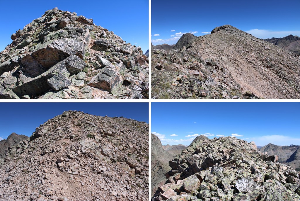
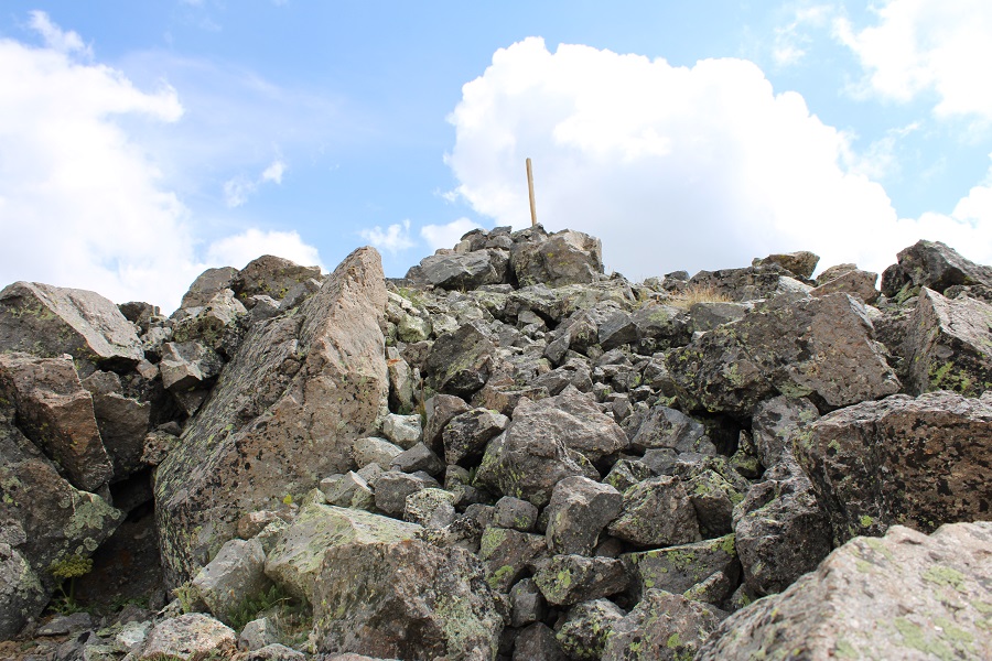
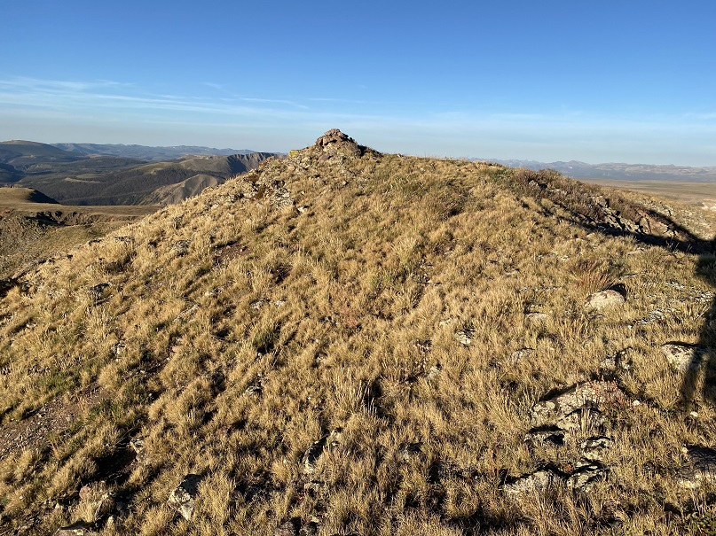
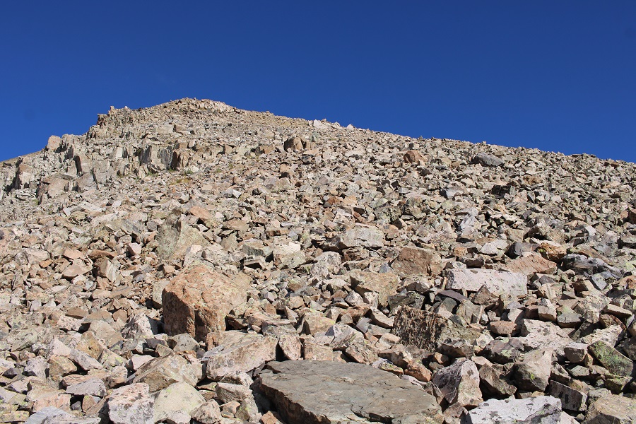
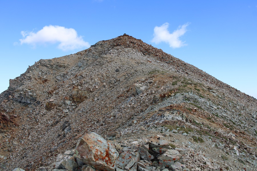
Now I found cairns leading me north and then west to the summit. From this point on it was difficult class 2, easy class 3 to the summit. It was choose your own adventure, and the routes were obvious.

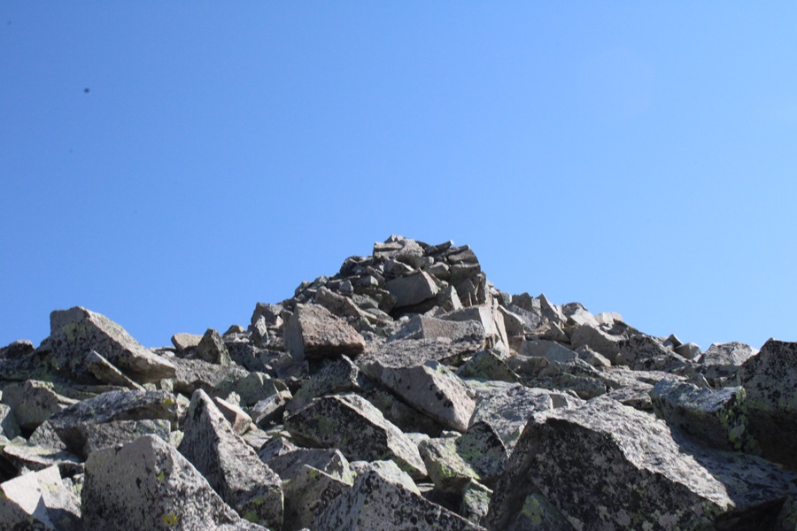
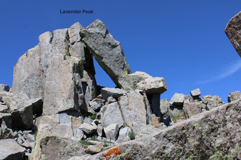
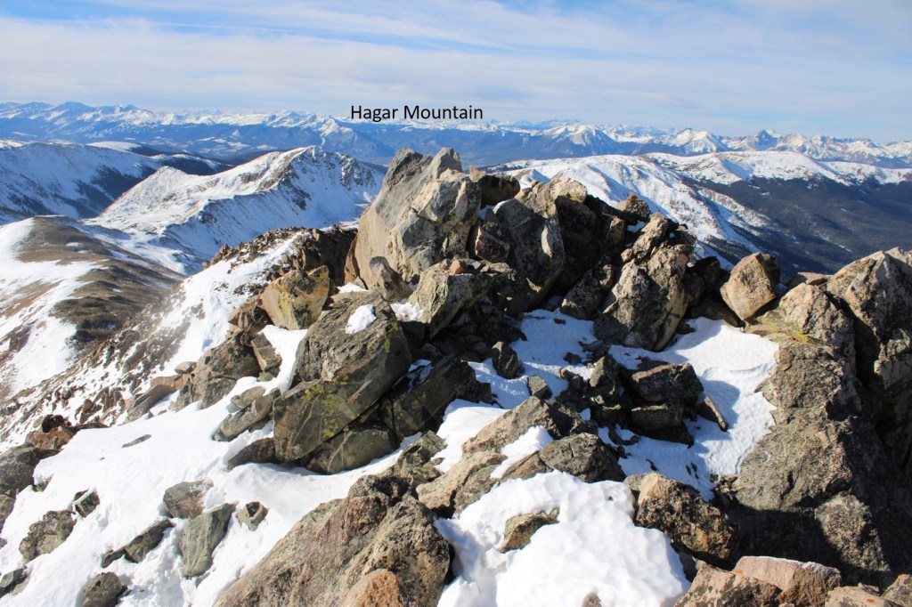
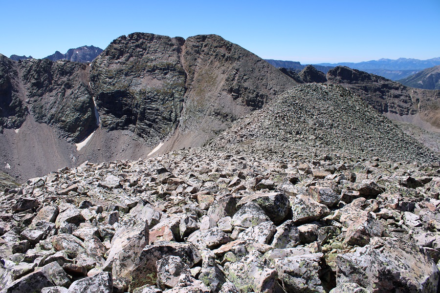
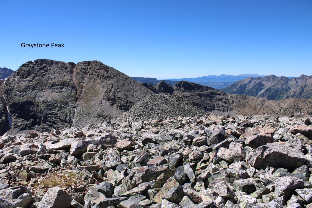
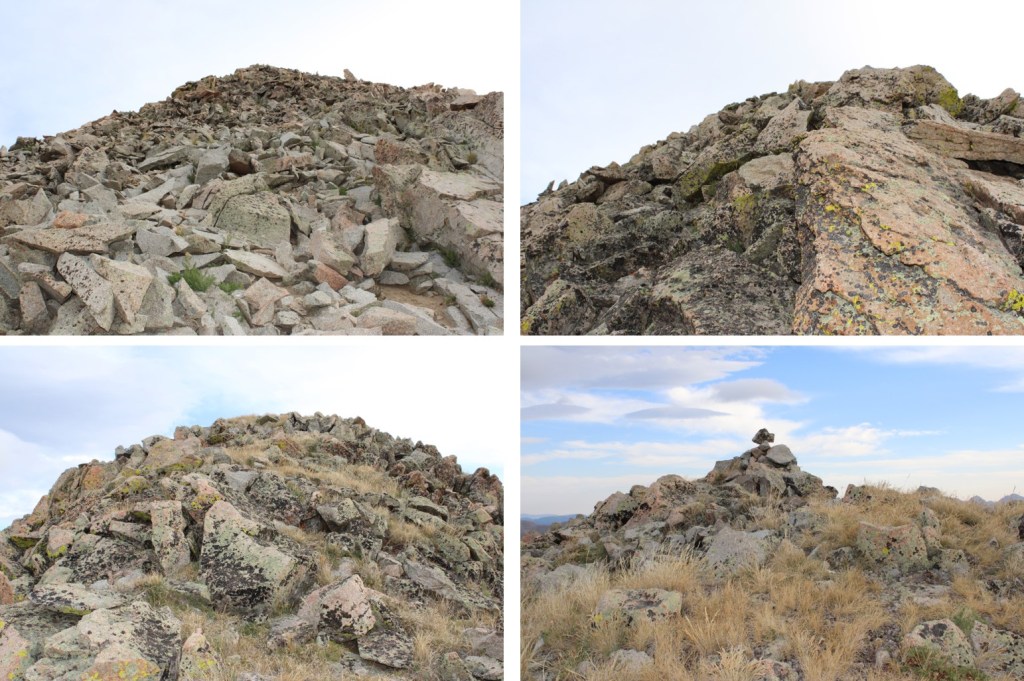
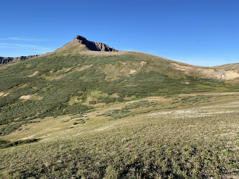
The true summit is to the left, with a small rock on top of a large boulder.
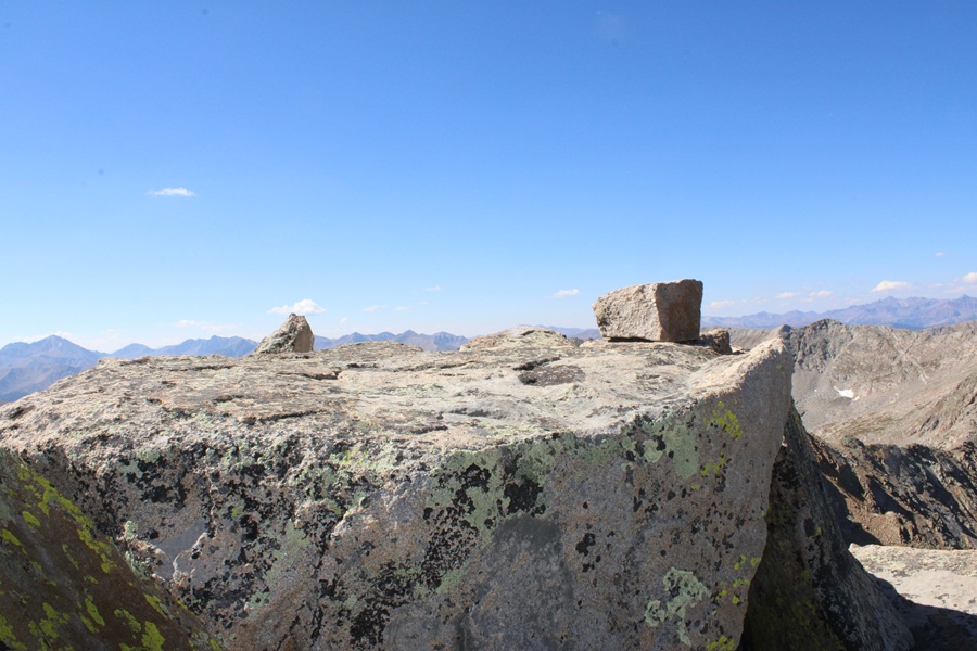
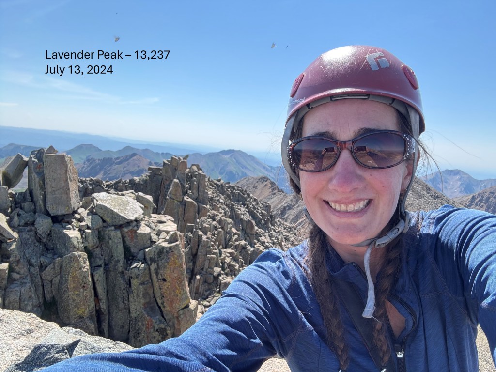
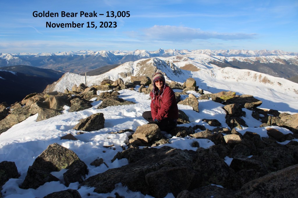
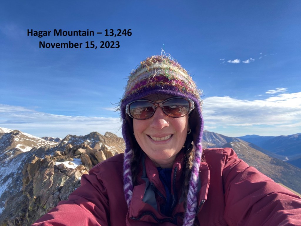
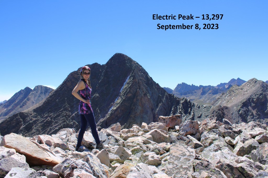
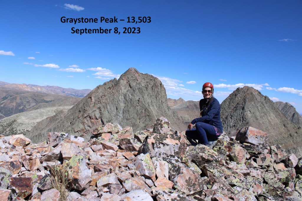
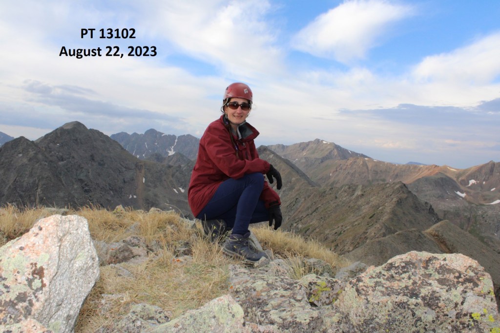
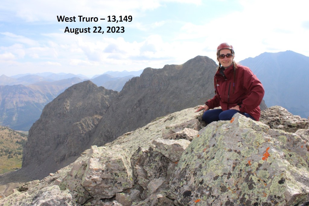
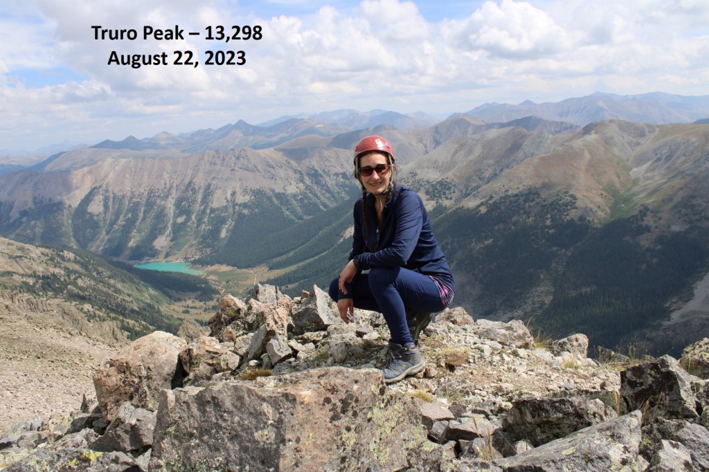
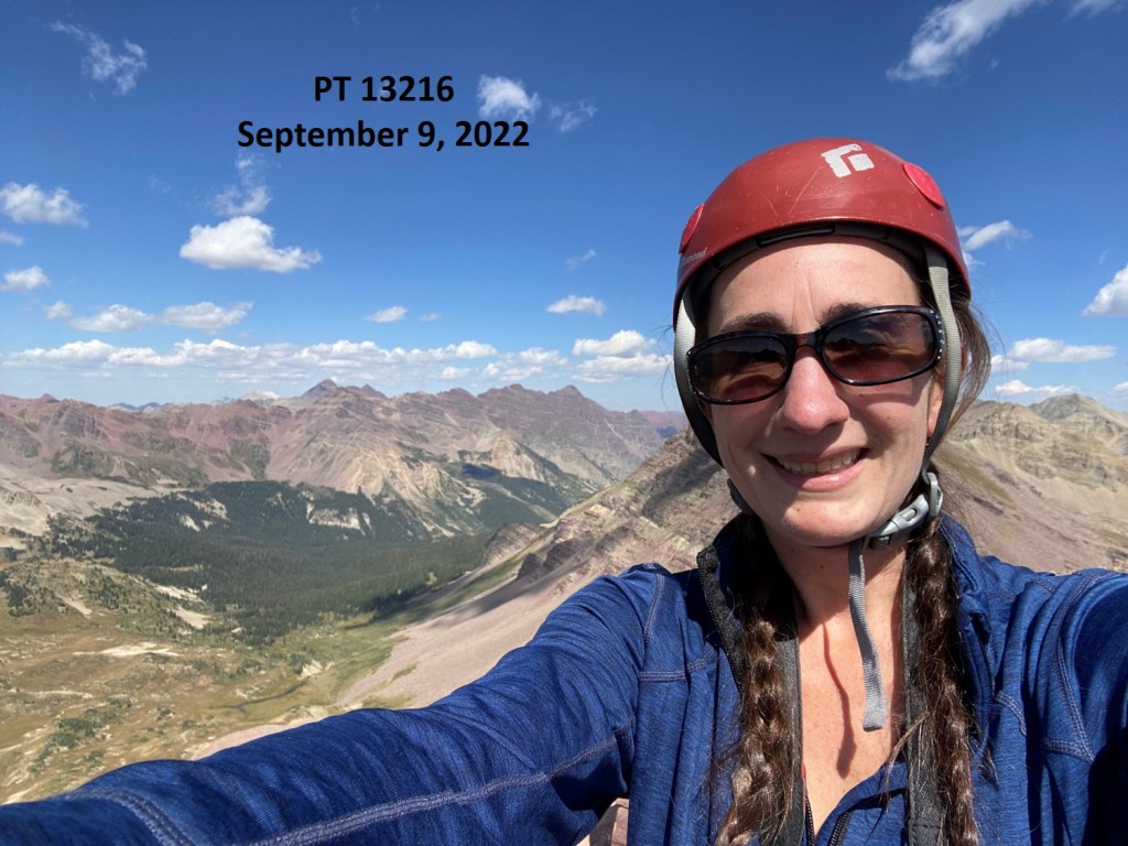
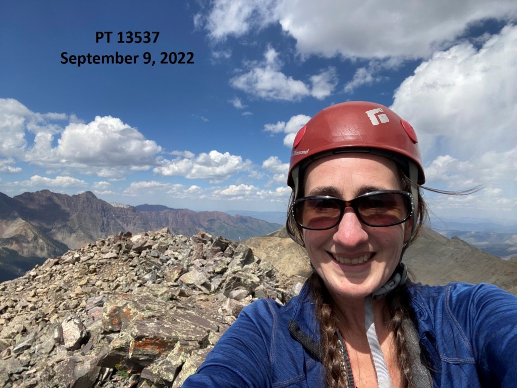
I summited 13204 at 10:50am

13204:
Now you might think I’d head back the way I’d summited, but I was curious as to if I could have made it down that class 4 route I’d attempted earlier, so I headed back the way I’d summited, then headed down southwest to try to link up my climb from earlier in the day. It was all class 2 until I got to the class 4 part, and I was glad I’d turned around.
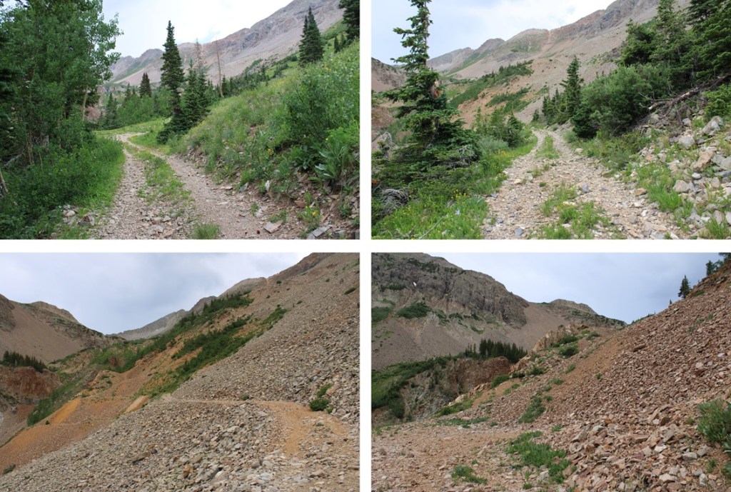
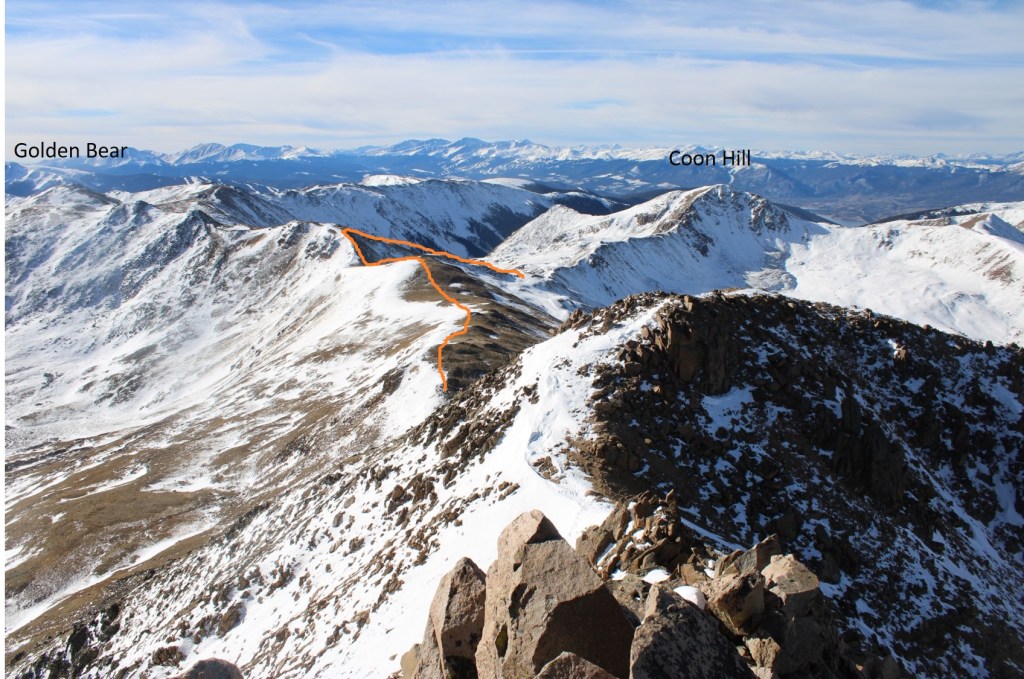
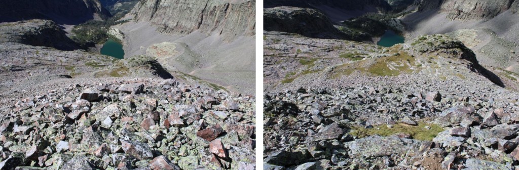
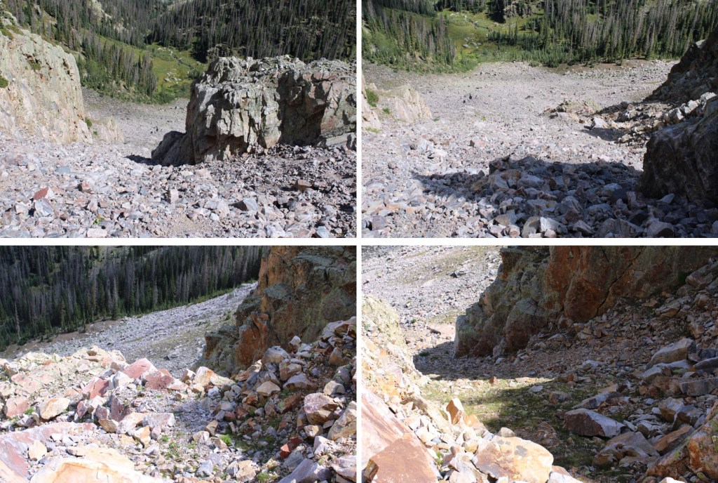
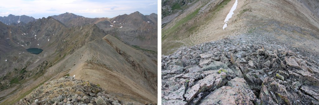
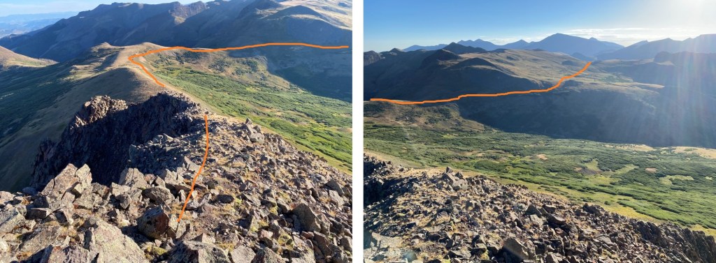
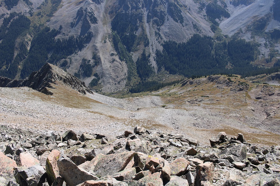
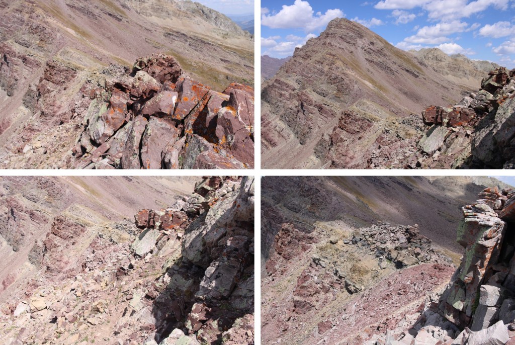
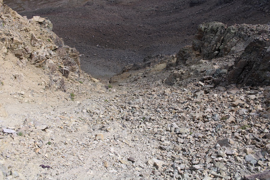
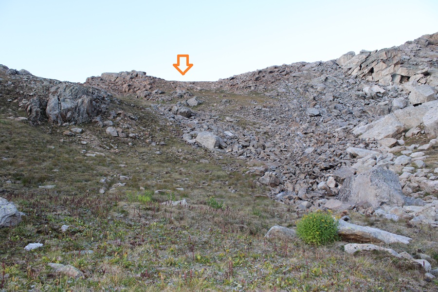
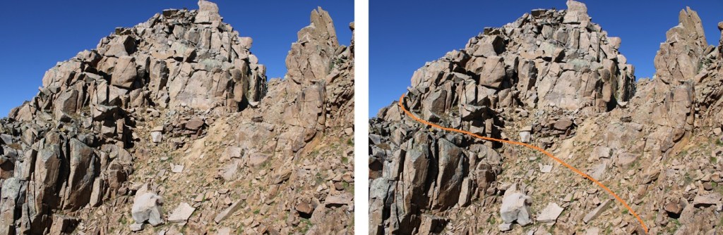
Seeing it wasn’t any better from this angle I reascended and found a gully to head down. I could see all the way down to the valley, it looked class 2, so I decided to go for it. I started at 13100’ and descended the entire way down on class 2 terrain just below where I’d dropped down and re-ascended again on the ascent. The place just before the notch on the return. That gully goes at class 2. I could see the access point from the summit.
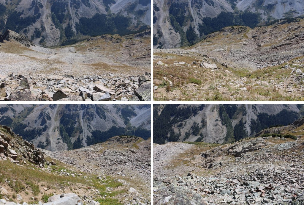
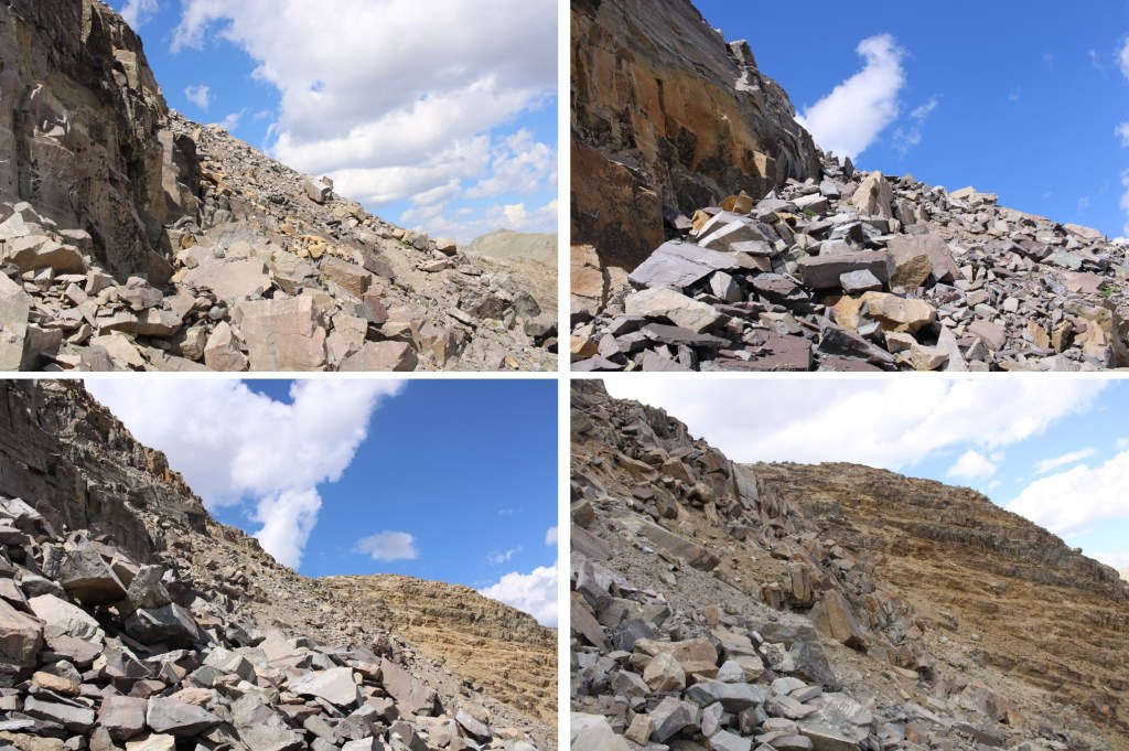
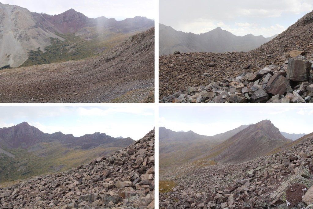
Here are some pictures looking down the gully. It splits at least twice, but each option is class 2, so pick the route you like the best. If I were to do this peak again, I’d take the gully. Tons of game trails, not a lot of scree, lots of elevation gain but no exposure. Just keep this as an option as a bail out point, or another way to summit this peak if you’re dividing the peaks and not doing the traverse.

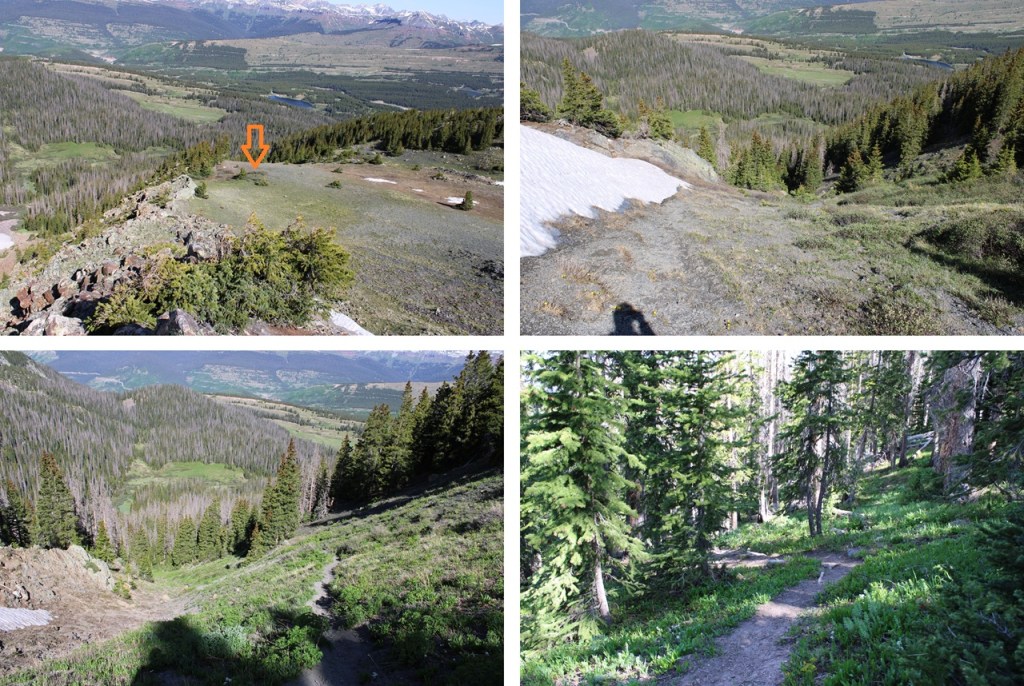
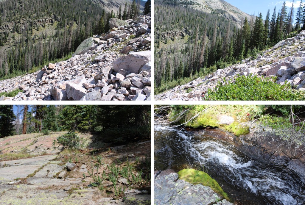
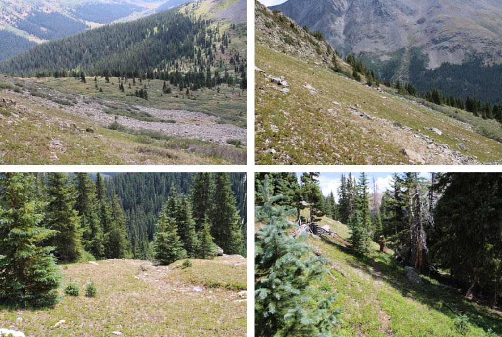
From the base of the gully I paralleled the ridge I’d hiked that morning, heading west until I’d reached my camping spot.
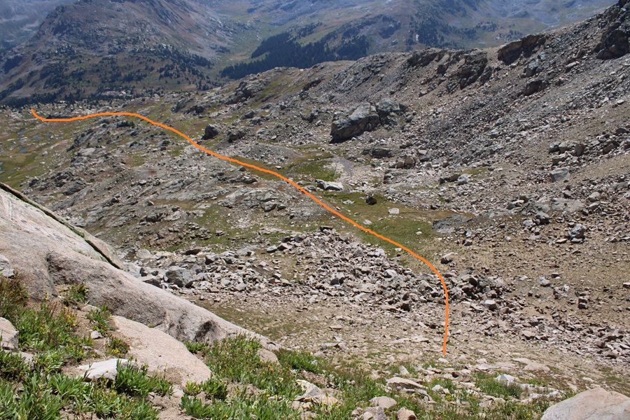
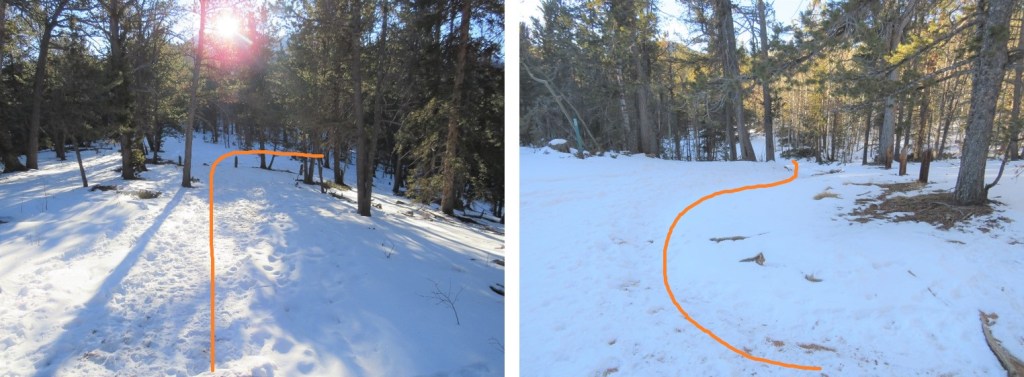
If you’re heading up from the basin doing this class 2 route, this is how the route would look:
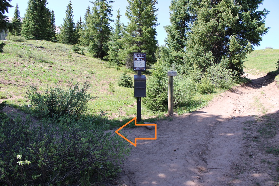
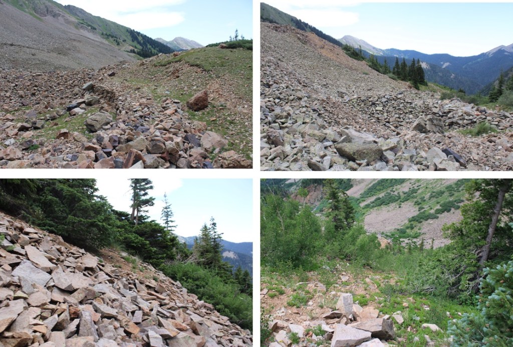
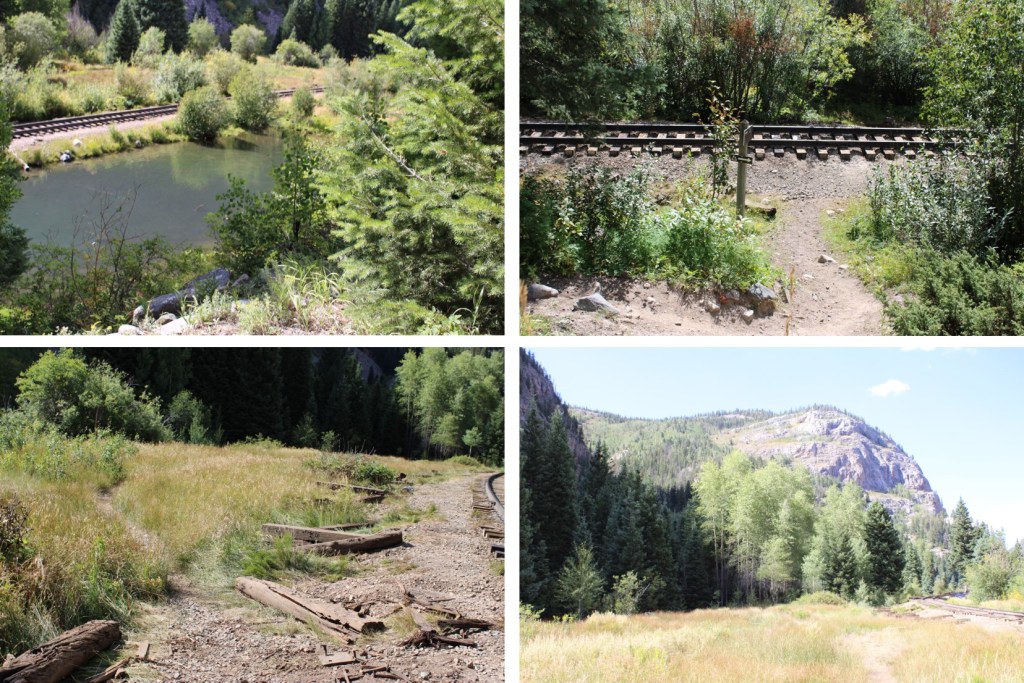
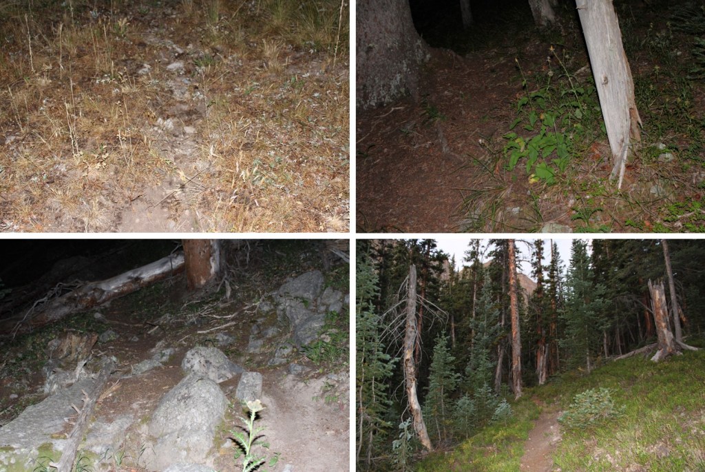
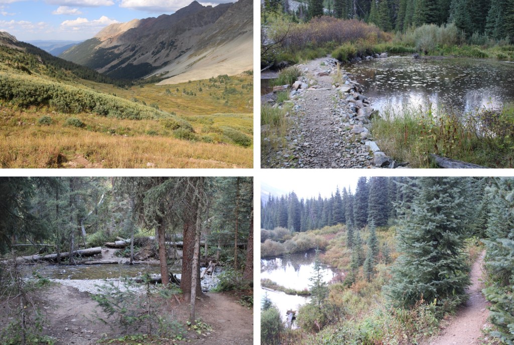
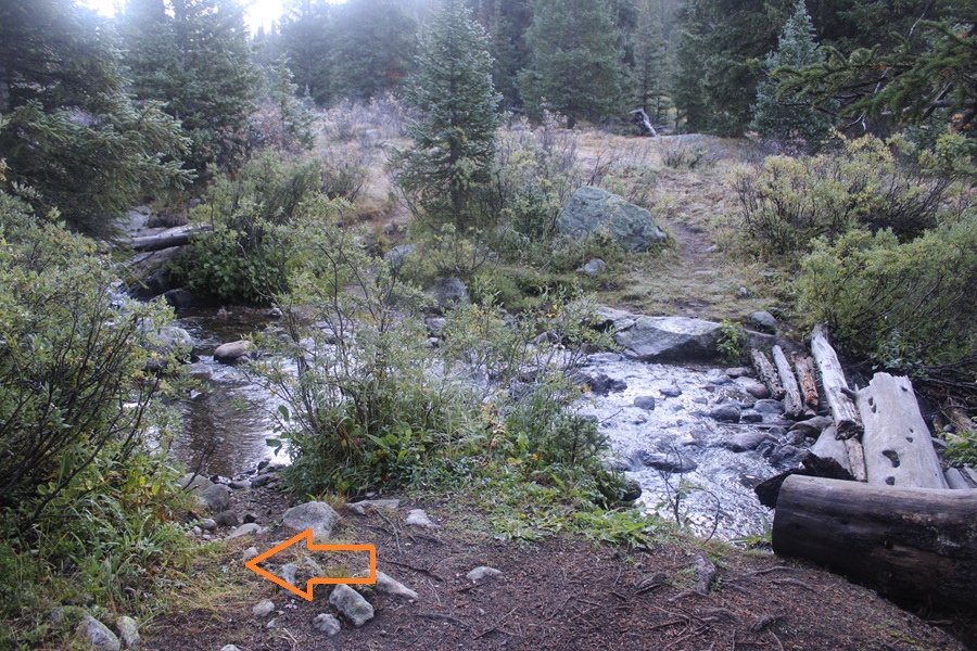
Back in the basin I followed the stream back down, heading Southeast, staying to the left of the stream until I was about 20 yards from the trail, then crossing the stream on an obvious area, and linking up with Lost Man Trail.
Back on Lost Man Trail I turned right and followed it back to the trailhead.
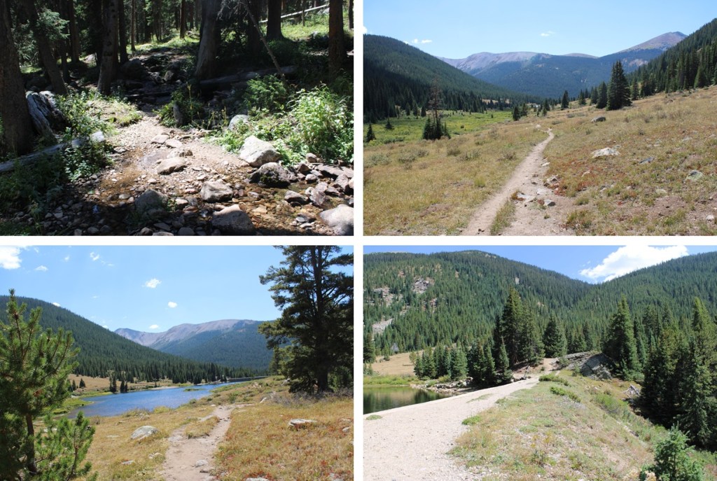

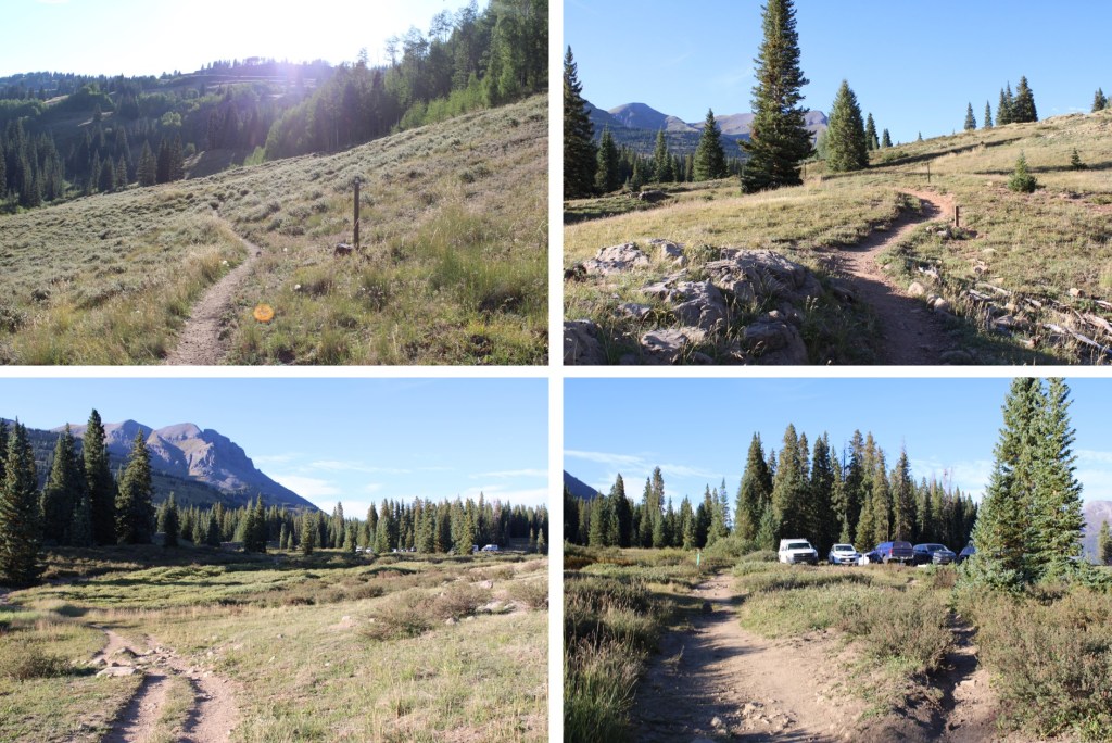
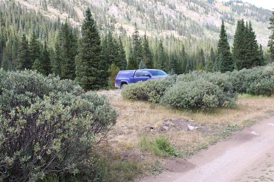
I made it back to my truck at 1pm. Total stats for this hike vary.
Parking Area to campsite/upper basin: 5.43 miles, 1600’
Campsite to first attempt and back: 2.5 miles, 1000’
Campsite to class 3 summit: 1.3 miles, 1100’
Down summit class 2 route: 1 mile, 1100’ elevation loss
Campsite/upper basin to Parking Area: 5.43 miles
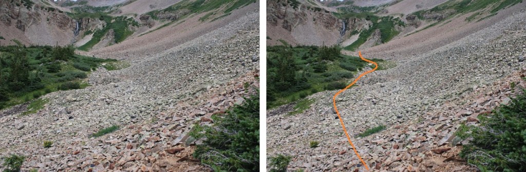
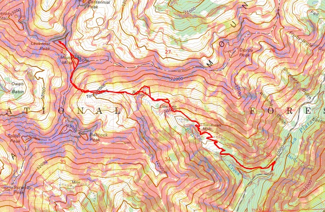
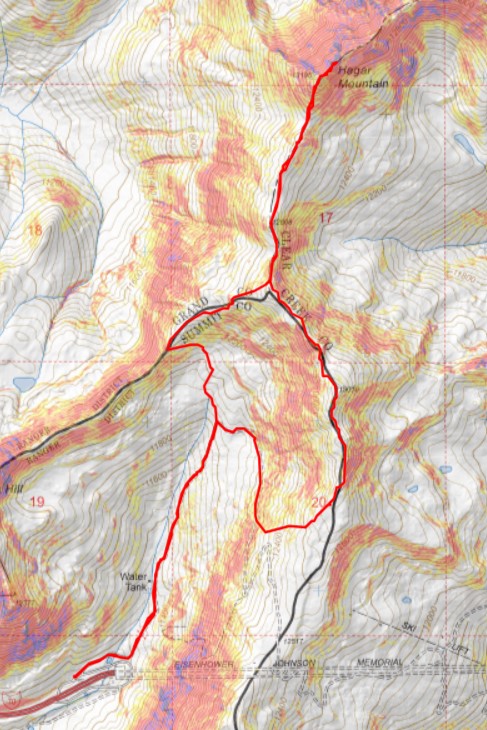
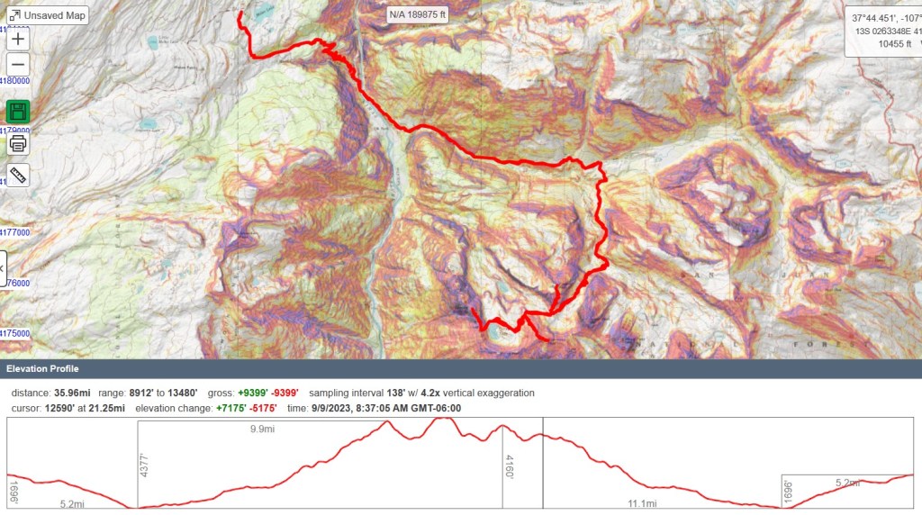
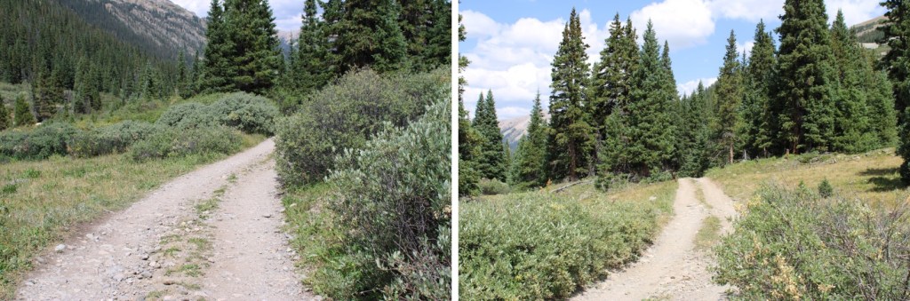
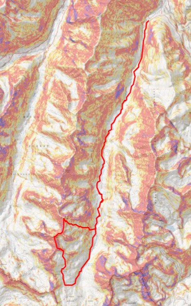
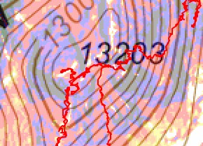
Topo for upper basin:
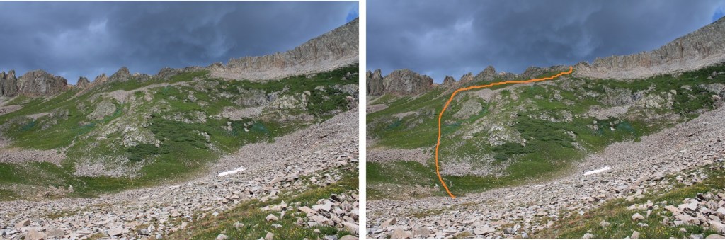
Route Topo:
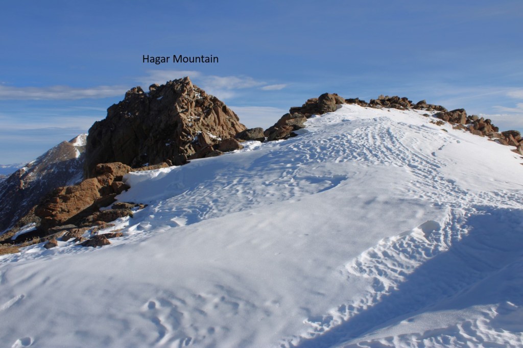
On to the next trailhead!