RT Length: 6.16 miles
Elevation Gain: 1975’
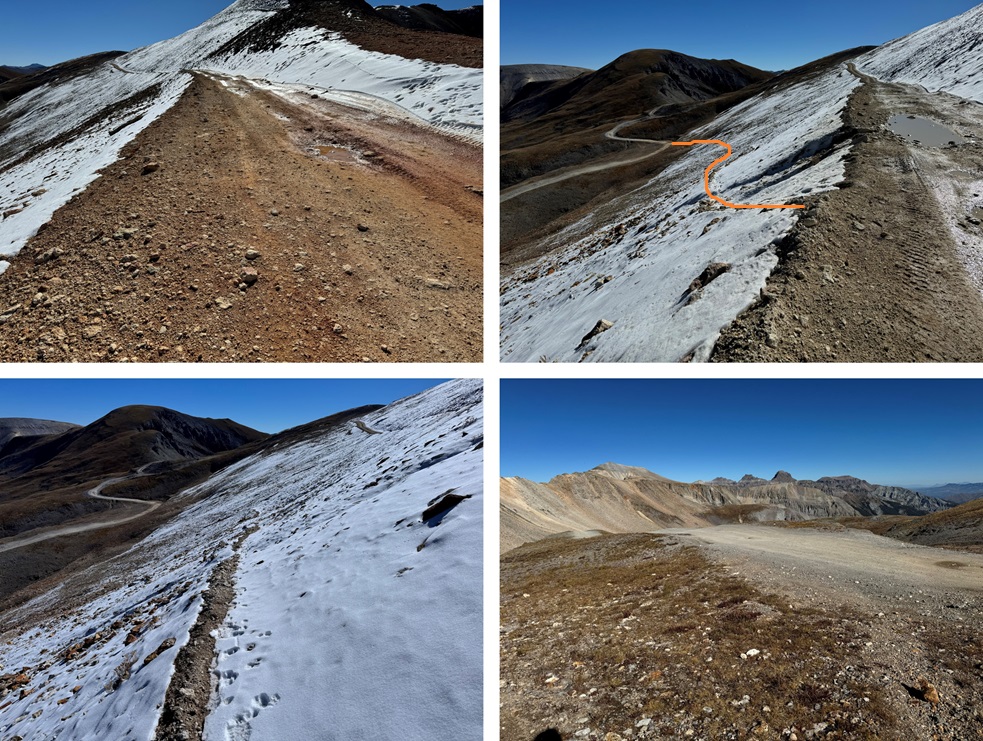
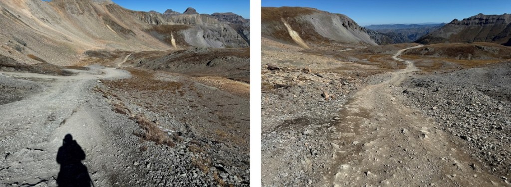
The drive to Imogene Pass is not for the faint of heart. You need a 4WD vehicle and a competent driver. Be prepared for narrow roads and large rock slabs with steep drop offs. The worst part is the very beginning (at the separation from Yankee Boy Basin) and at the very end. I drove in from the Ouray side. I didn’t drive all the way to the pass, but parked about a mile below at a wide turnout. I was on the trail at 6:30am, following the road south towards Imogene Pass.

Just before the final switchback to Imogene Pass I bypassed the road and took a game trail to the right, which led me back to the road and Imogene Pass.


The Telluride side was closed

From Imogene Pass I followed the road/ridge north
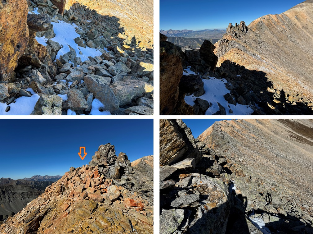
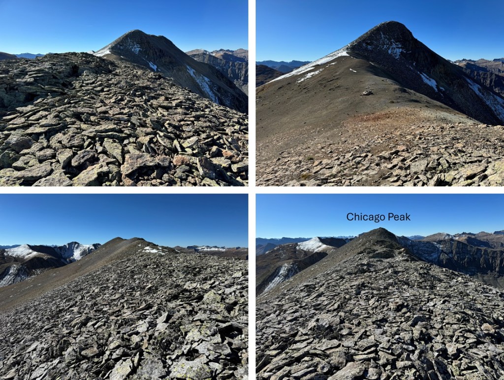
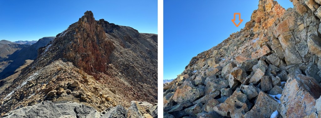
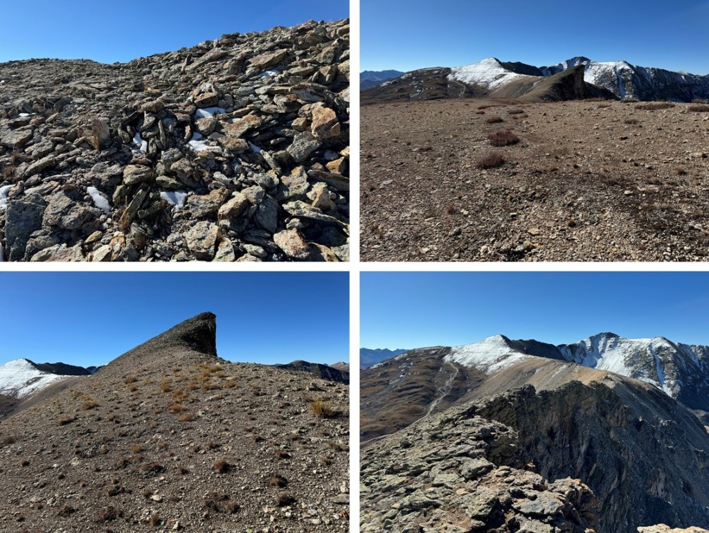
Maps show a trail here, but if there is one, it’s faint/has been destroyed by rockfall. This hike is class 2, but difficult class 2. Everything is loose. The talus and shale are not secure, and there’s exposure, so be mentally ready for more than a normal class 2 hike. Watch your step, as there are large metal wires strewn all about the ground on this ridge. There’s a trail until you hit this point, then you get to route find. From here I could see Chicago Peak. This is the route I took:

I then rounded the ridge, following the ridge proper

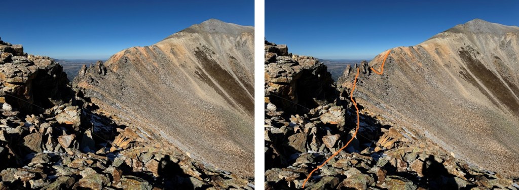
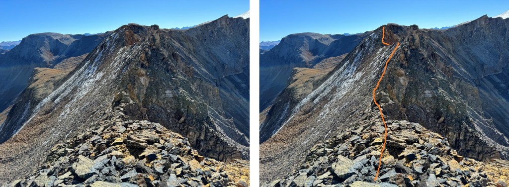
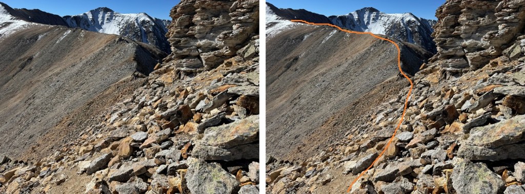
This is where the fun begins. You want to stay high, but not on top of the ridge. I pretty much followed the bottom of the rock outcroppings, traversing on shale. I started out staying to the right, then in the middle switched to the left to go around a large rock, and then took the ridge proper to the slope. Here’s an overall view of my route:
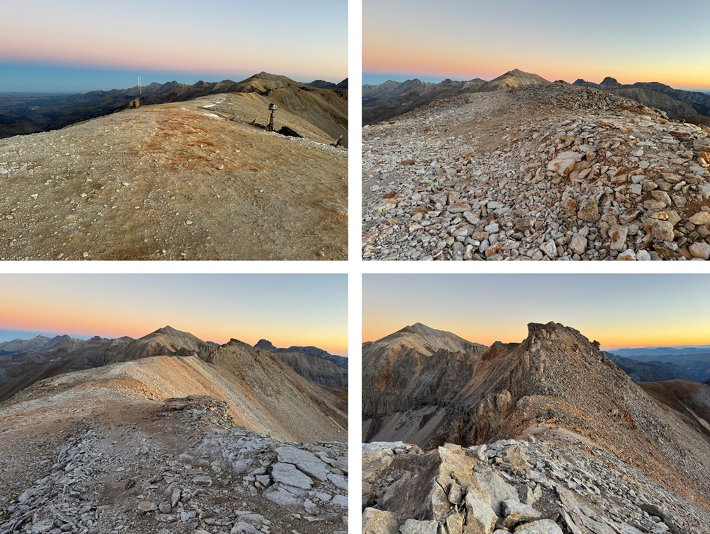
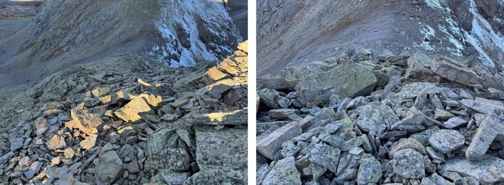
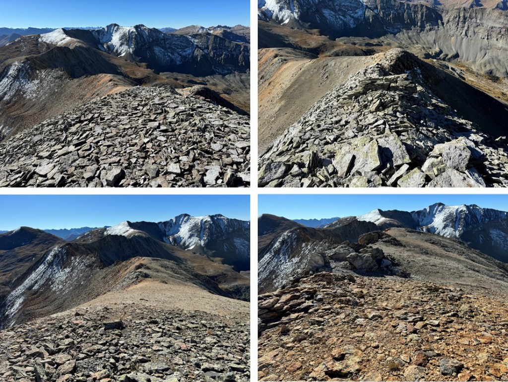
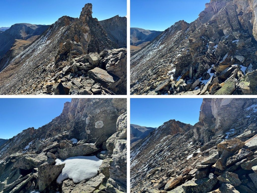
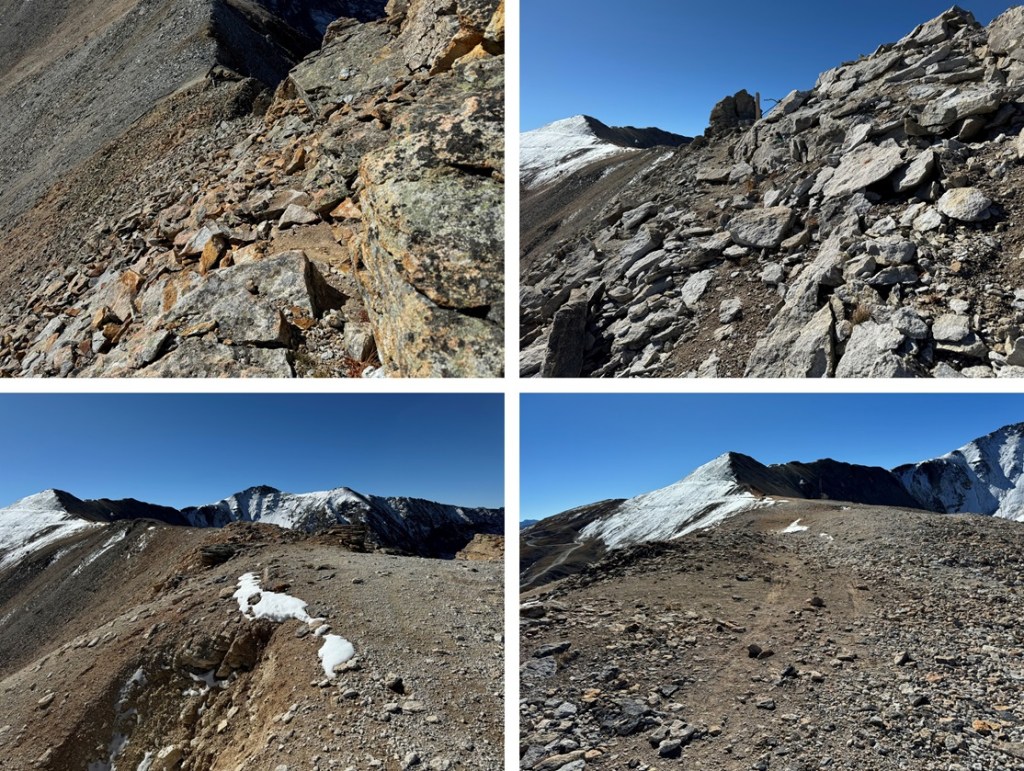
And some pictures:
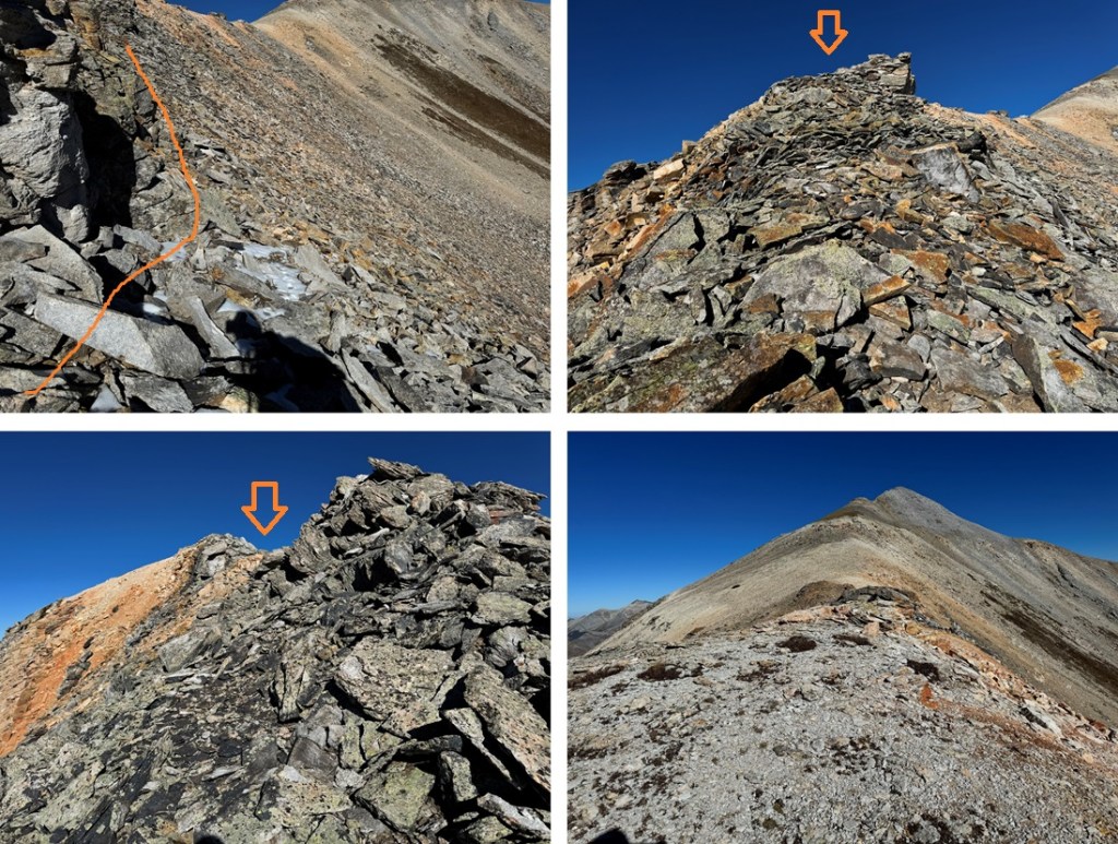
From here it was an easy ridge hike on shale game trails to the summit. I followed the ridge north.


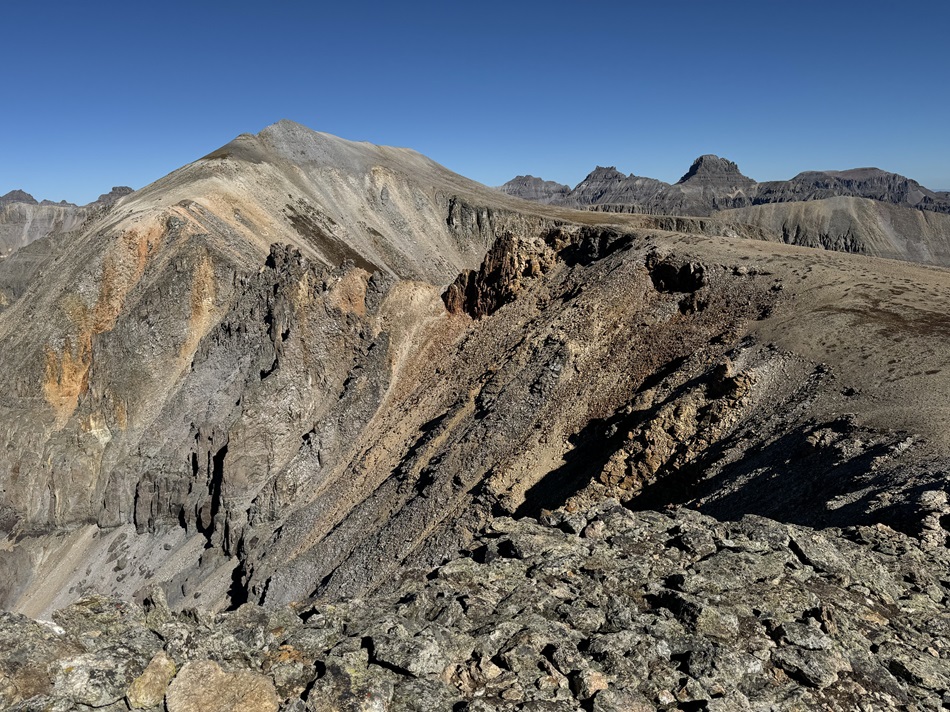
I summited Chicago Peak at 7:45am

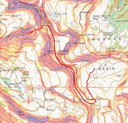
Chicago Peak:
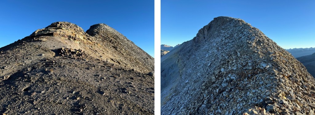
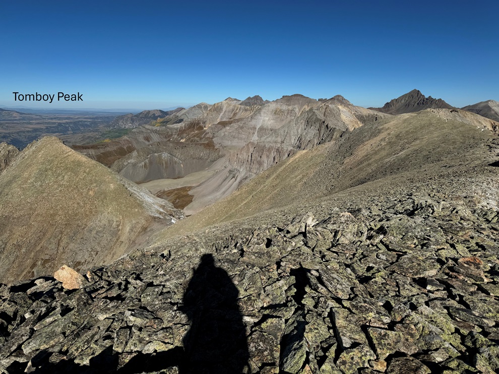
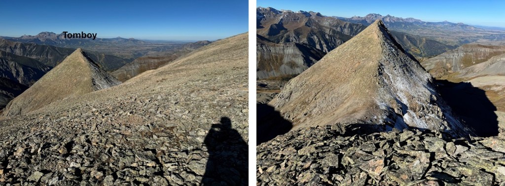
My next peak was Tomboy Peak, which I could see to the northwest. It looked too small to be a 13er from here, but that’s just because Chicago Peak is taller.
This is the overall route I took to get there

First, I continued hiking down the ridge until I came to a small saddle at 13220’. If you’re lucky, you’ll see the game trail to the right that will circle you back to the saddle.

I then turned left, and headed west towards Tomboy Peak, losing 400’ of elevation on very loose shale (no trails here, watch your step).
At the saddle, I headed straight up the ridge to the summit (also on very loose shale).


I summited Tomboy Peak at 8:40am
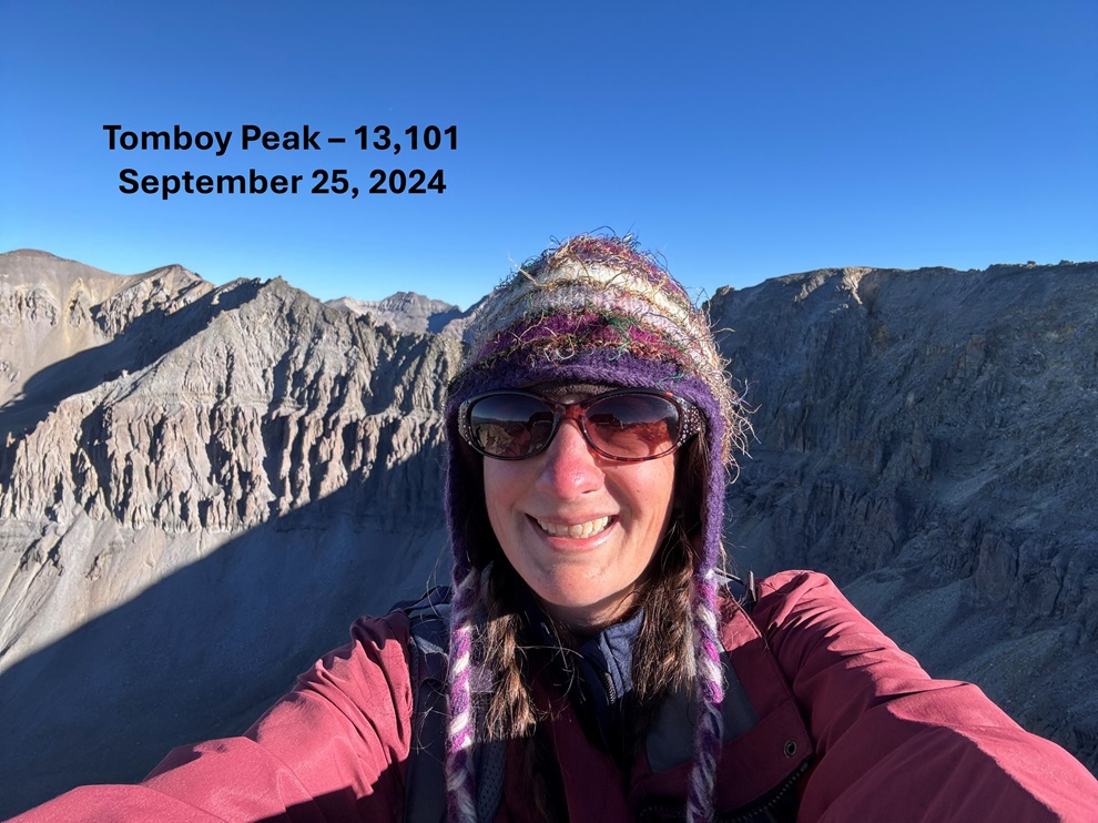
Tomboy Peak:
This was an out and back hike for me, so I turned around and headed back towards Chicago Peak. The pictures heading back are probably more useful than the ones coming in, due to the angle of the sun. First, I descended to the Chicago/Tomboy Saddle

And then to re-ascend to the ridge


Then to re-ascend Chicago Peak. I followed the ridge south.
After re-ascending Chicago Peak I continued following the ridge.
Here’s an overall view of my hike through the rest of the ridge.
After making it to the top of the ridge, I followed it south back to Imogene Pass
Once back at the pass I followed the road to my access trail, then the trail back to the road, and the road back to my truck.
I made it back to my truck at 10:30am, making this a 6.16 mile hike with 1975’ of elevation gain in 4 hours.