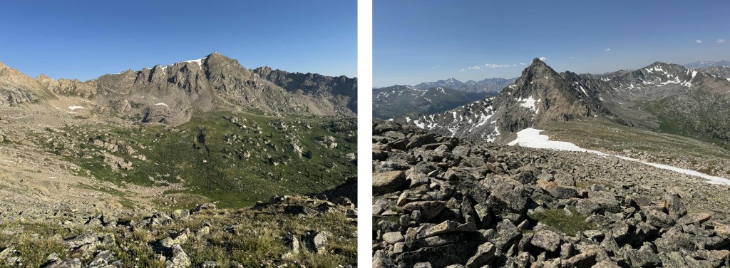
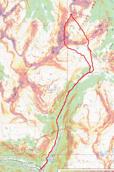
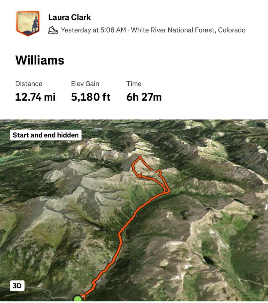
RT Length: 15.26 miles
Elevation Gain: 3918’
I started from the Lost Man Trailhead at 5am. This trailhead has capacity for around 35 vehicles, if everyone parks nicely. The trailhead is obvious.
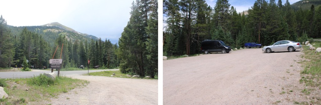
At the trailhead sign I went right, following the Lost Man Loop Trail.

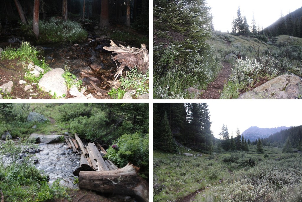
This is a well-maintained class 1 trail that passed by Lost Man Reservoir and then continued north, paralleling Lost Man Creek.


I followed this trail for about 4 miles. If you make it to South Fork Pass you’ve gone too far.
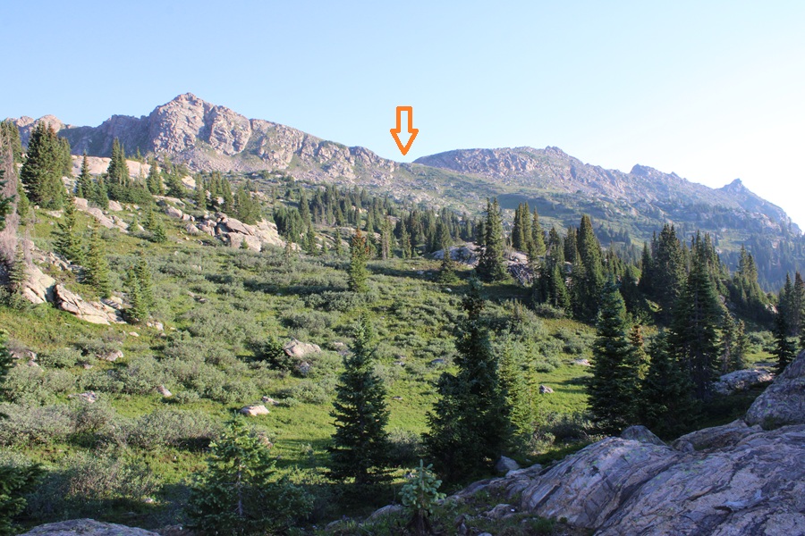
At 11550’ of elevation I left the trail and headed north towards an unnamed pass to the right of PT 12683.
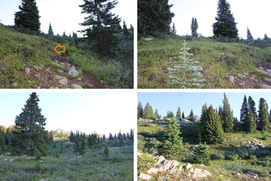
For a visual, I was headed here:
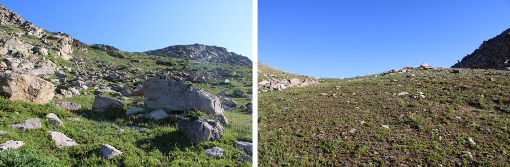
When I got to the top of this small pass I had a visual of the route before me to PT 13139.
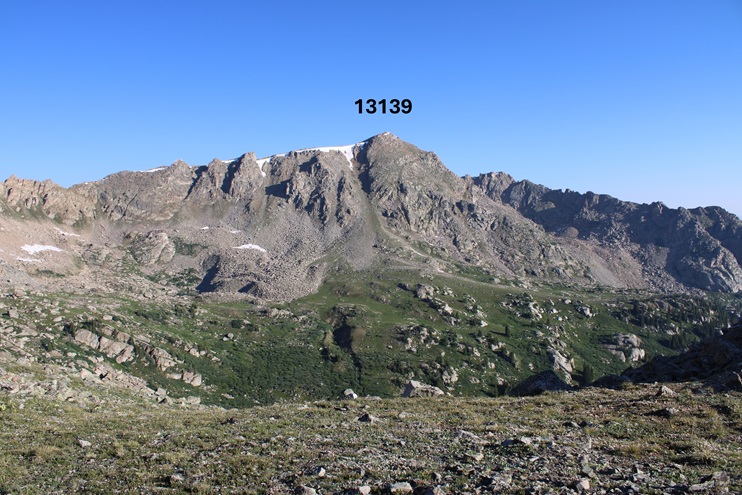
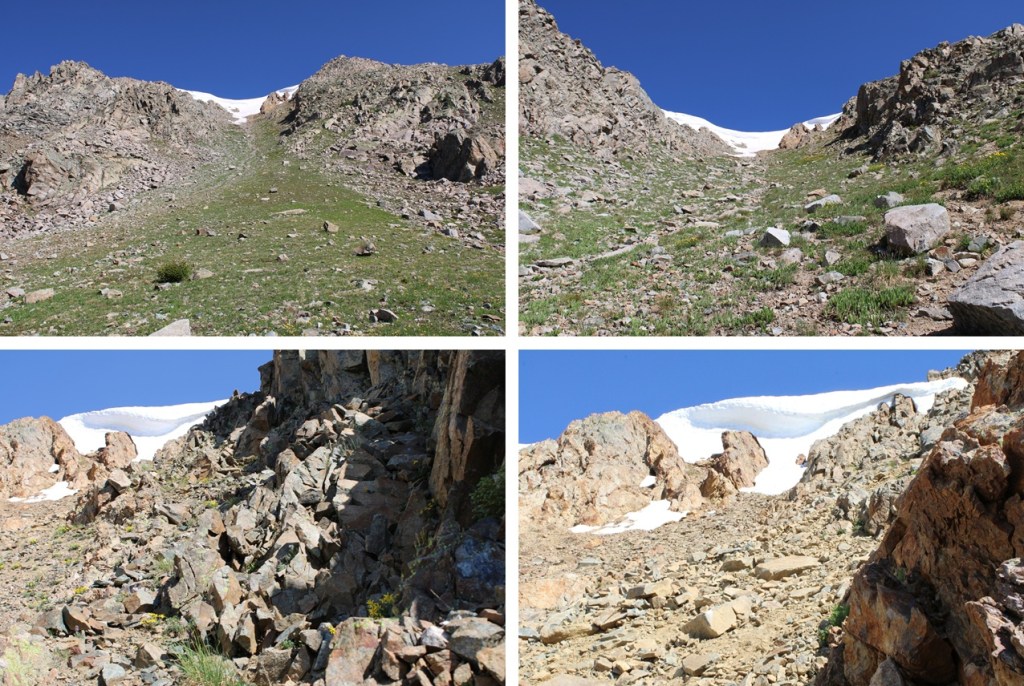
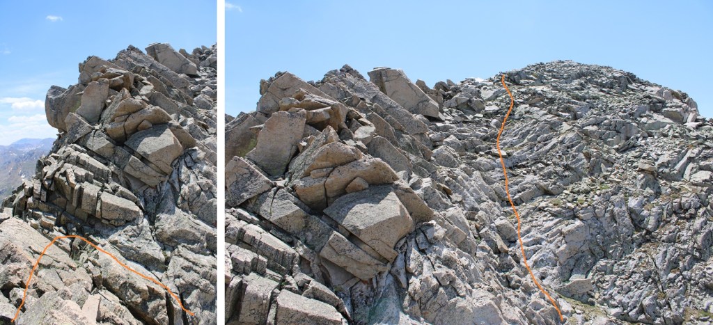
I was disheartened. That cornice looked big. I sat on that pass for longer than I wanted, contemplating my next move. It was only July 15, and I’d already had over a dozen failed attempts already this year. Mostly due to cornices, but also due to wildfires (I evacuated twice) and getting “the knock” twice and being told I can’t park my vehicle at a trailhead overnight (even to leave it to go backpacking: it would be towed). I remembered hearing (somewhere) that the entire Williams traverse was clear of snow this week, so in my mind I figured it was possible to make it around the cornice. Needing a ‘win’ I decided to go for it. Here’s my route, dropping 620’ into the basin on an adequate game trail, staying to the right of the creek and avoiding the willows, and then climbing up the gully.
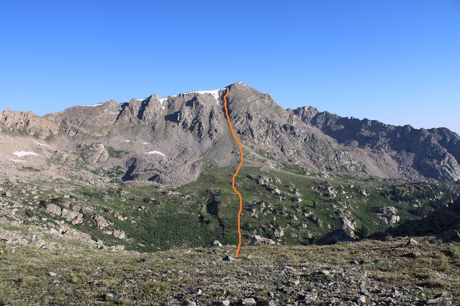


At the base of the gully I once again stopped to rest and contemplate the ascent. That cornice looked really big (it was). But it also looked like I could go around it to the right. I ascended the gully, trying to stay in the middle but drifting towards the right because the terrain there was more stable. This gully is steeper than it looks and it took quite a while to ascend.
The cornice was indeed large. At the base of it I thought I saw a line to the right that would lead me to the ridge, so I headed that way. Long story short, it did NOT go. I got myself into a very scary situation where the rocks and dirt (which was wet) caved out from underneath me and slid down, leaving me standing on a slick rock slab with no traction, and no way to go up or down. While it looks like it goes, even when standing right beneath it, it does not (at least not safely). It is much steeper than it looks from below.
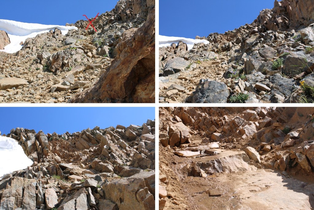
I was frustrated, especially since I’d heard someone else had already done the route this year. There were no footprints to be seen (I didn’t see any at all the entire hike), and no clear line to the ridge. I was heading back when I took a different look at the cornice, this time from above. There was about a foot of space behind the cornice I could crawl through (and get wet in the process) that would lead me to the ridge. I squeezed behind it and was quickly standing on the ridge.
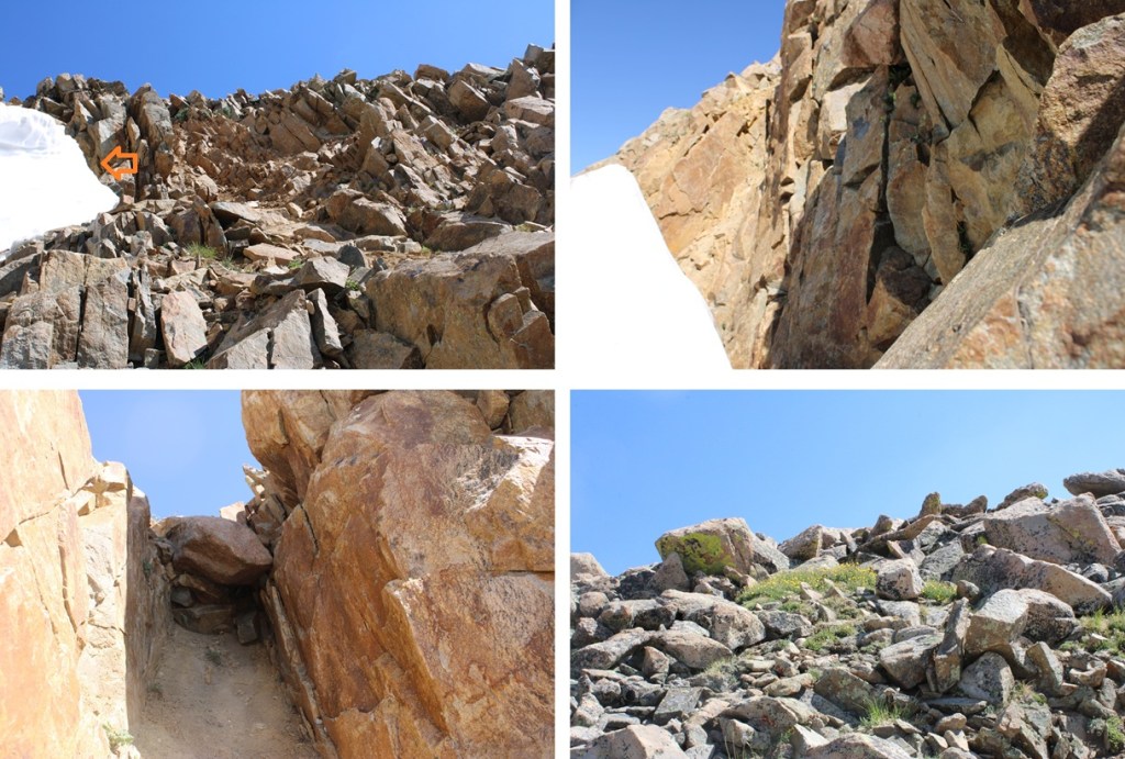
Once on the ridge I turned right and headed northeast to the summit. The terrain was class 2, and very rocky.

I summited PT 13139 at 10:40am
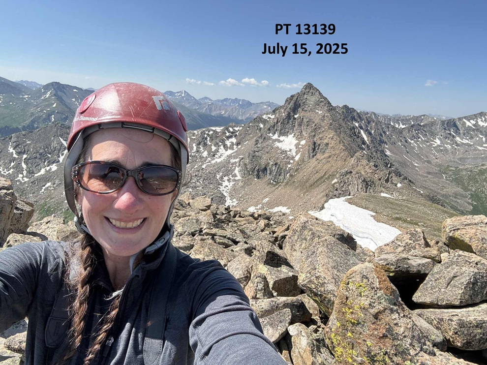
13139:
Once again I had a chat with myself on the summit. I am getting closer to finishing the 13ers, and when they’re done for me that’s it. I’m not going for 12ers, etc. because I’m starting a new phase of my life. However, I want to enjoy the 13ers for as long as possible. That’s a long way of saying I’m trying to stretch out my remaining climbs by making them multiple day trips. I’d planned on doing the Williams group in 3 days, but since if I returned the way I’d summited I’d need to gain over 600’ of elevation anyway, I figured I’d head over to Williams Mountain and summit that one today as well. So, I turned and headed southwest along the ridge towards Williams Mountain.
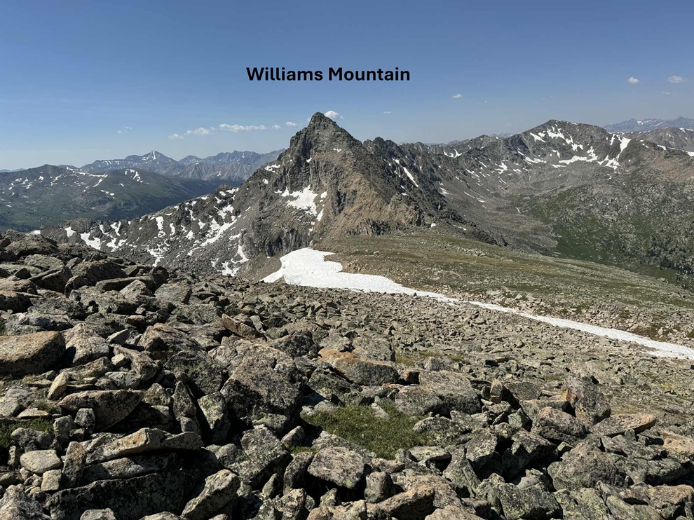
The ridge started out calmly, then quickly became rocky. I stayed to the ridge proper on class 2 and 3 terrain.

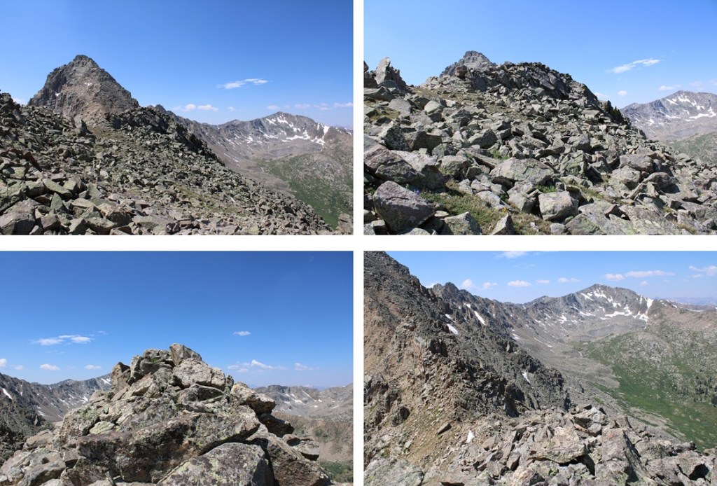
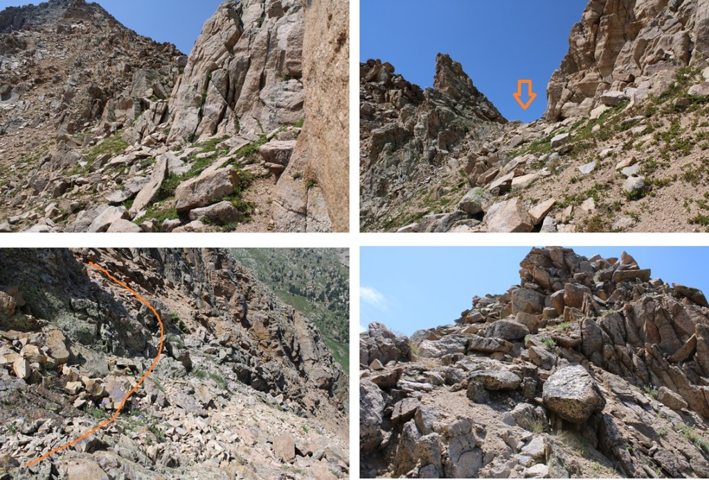
Until I came to this point, where I dropped down to the left and followed the scree filled slopes before regaining the ridge.
While it may look flat, there were a lot of ups and downs along the way.
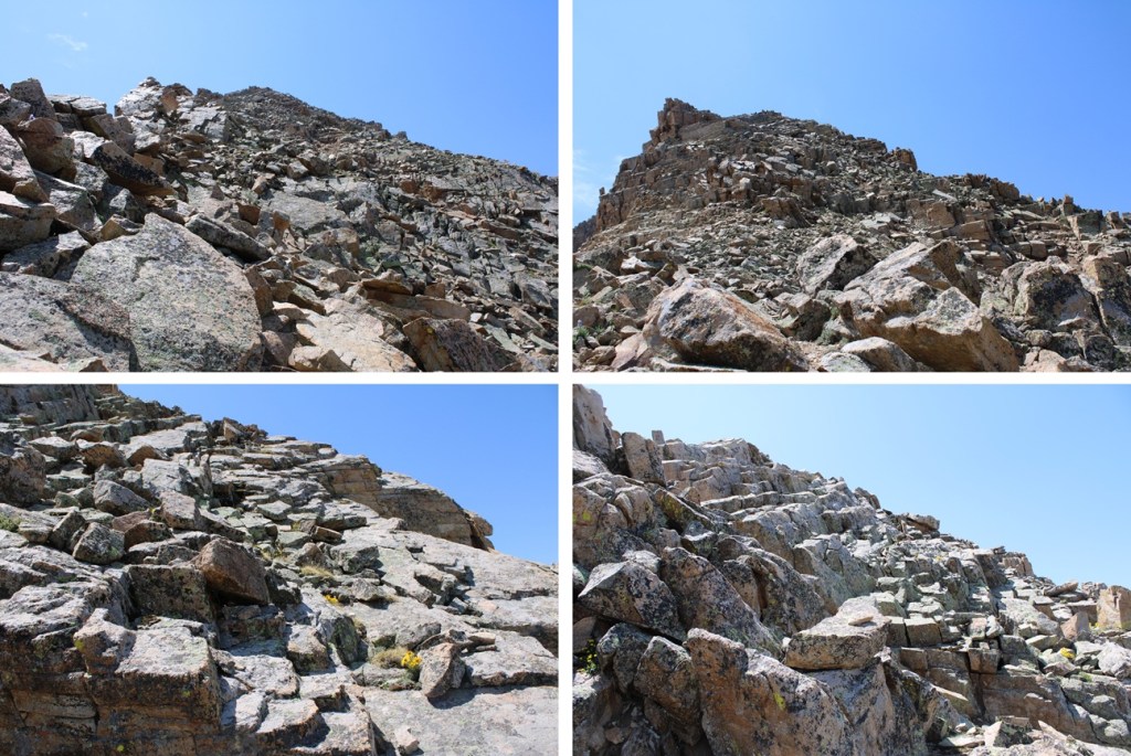
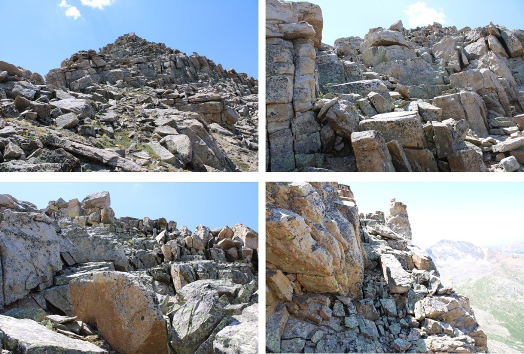
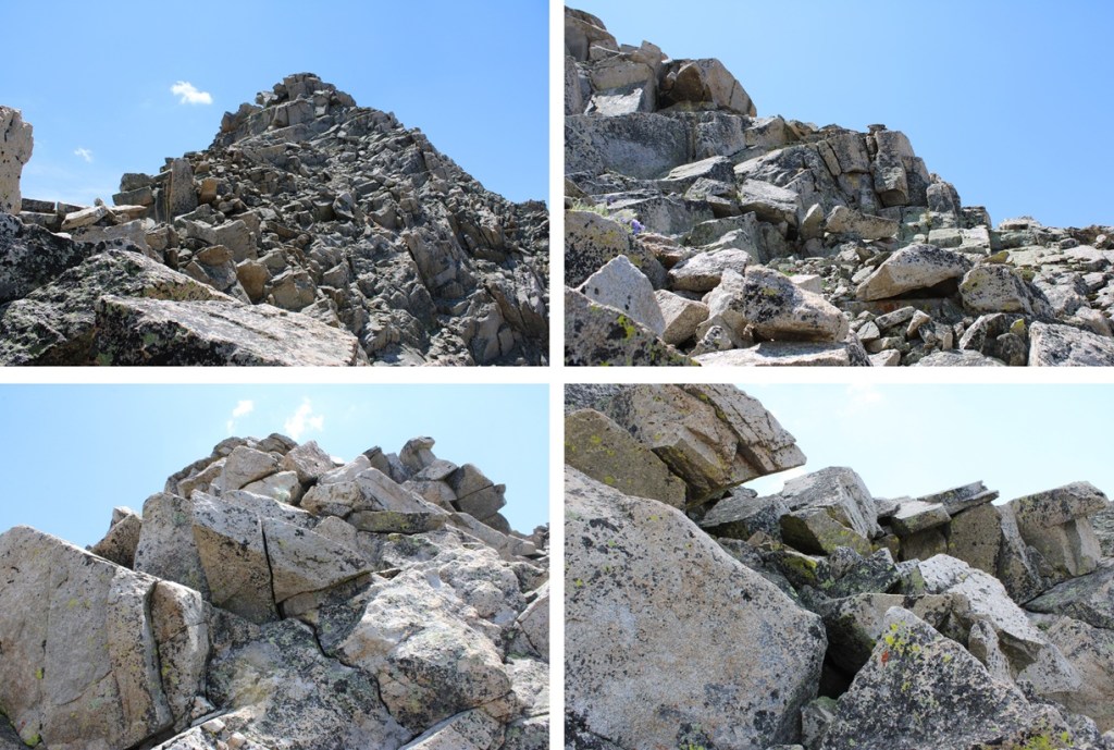
Once on the ridge again I followed it south. There were large boulders to navigate, but the rock was pretty solid. This is where the ‘fun’ begins. For the rest of the route to the summit it’s intense class 3, if not class 4. It’s probably the most difficult class 3 I’ve done to date, bordering on class 4 in areas (I’m short, so a lot of the holds are a stretch). There are a few cairns in this area, but don’t rely on seeing them. This was an intense, exposed scramble, and more than once I got myself ‘stuck’ in a not so friendly position and had to backtrack (which was also not so friendly). Be sure of your holds, be sure of your moves, and please have climbing experience before attempting this climb because it only gets more difficult as you ascend. I stuck a little to the west of the ridge, heading south.


I summited Williams Mountain at 12:55pm
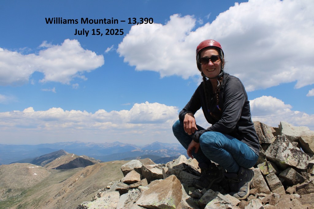
Williams Mountain:
After summiting I kept heading south, towards 13204.
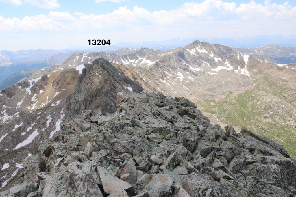
I’d thought the difficult climbing was over, but I was wrong. Almost immediately I was greeted with a rock slab I’d need to descend. I butt-schooched down this thing.

Here’s looking back up at the rock slab
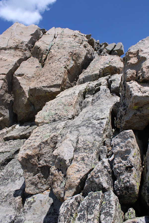
That was the worst of it though. I went left and descended and then reascended this little gully
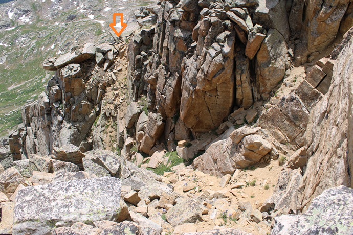
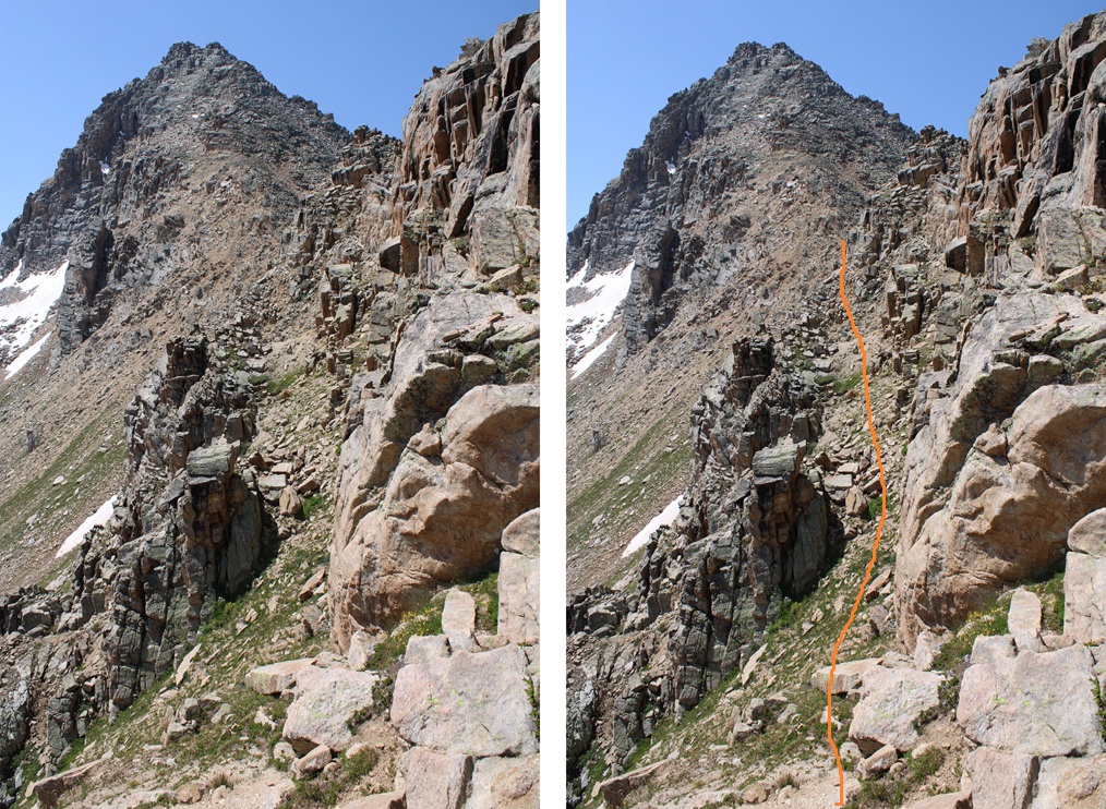
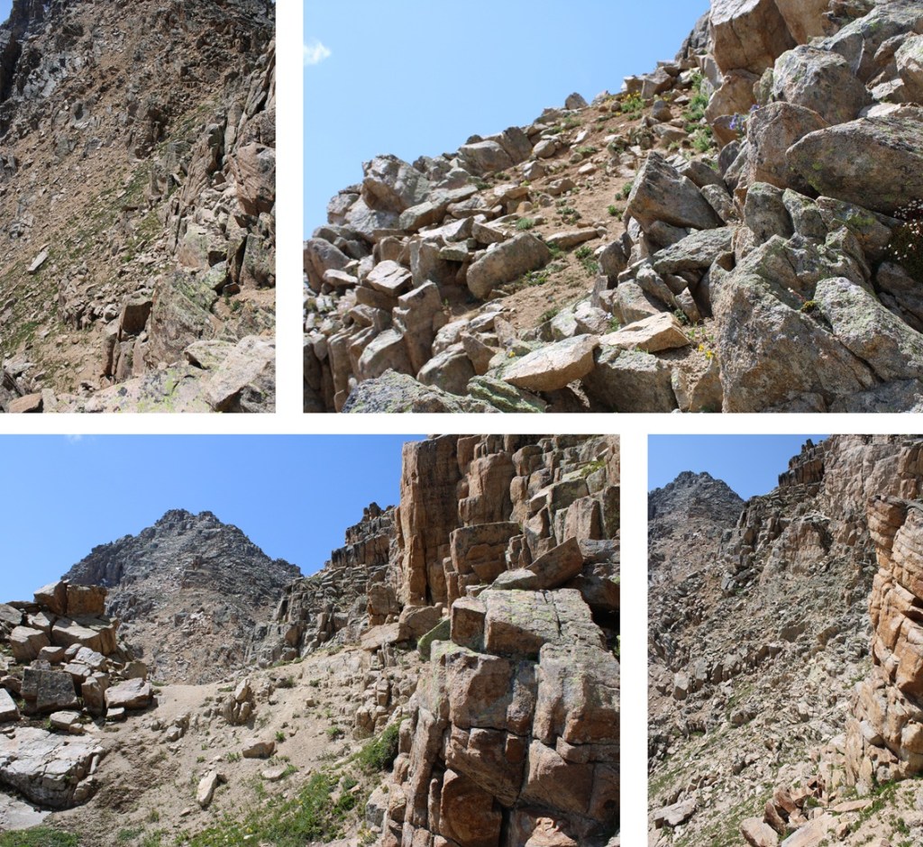
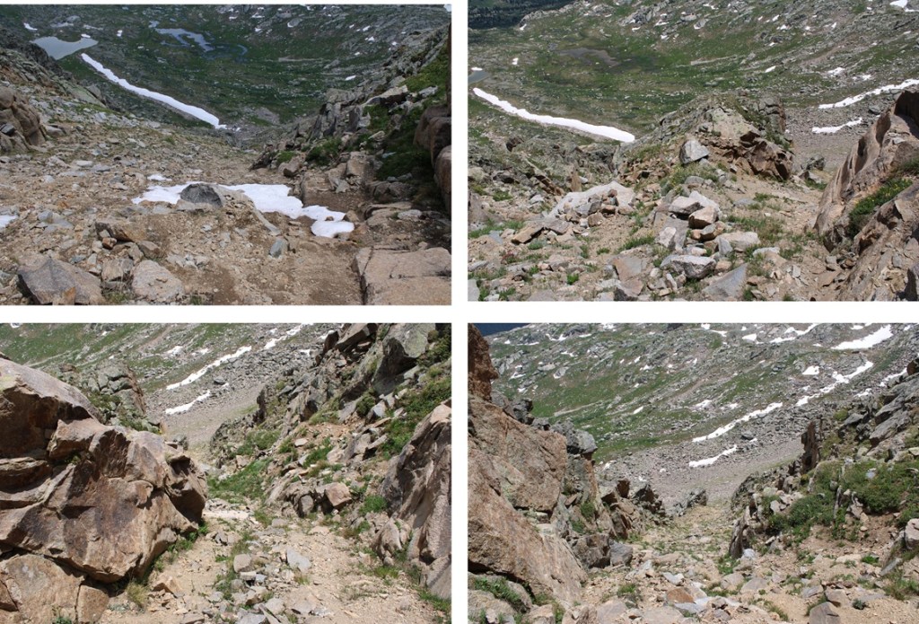
Then I made my way down the ridge to a larger gully and followed it southeast into a basin. This gully was easily manageable, with game trails to follow. Towards the middle there were options to go left or right. Both went, but I took the right side.

From the top of the gully you can see my route out of the basin.
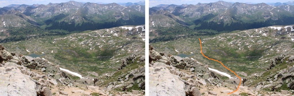
Here are some gully pictures
At the base of the gully I headed southeast along the basin.
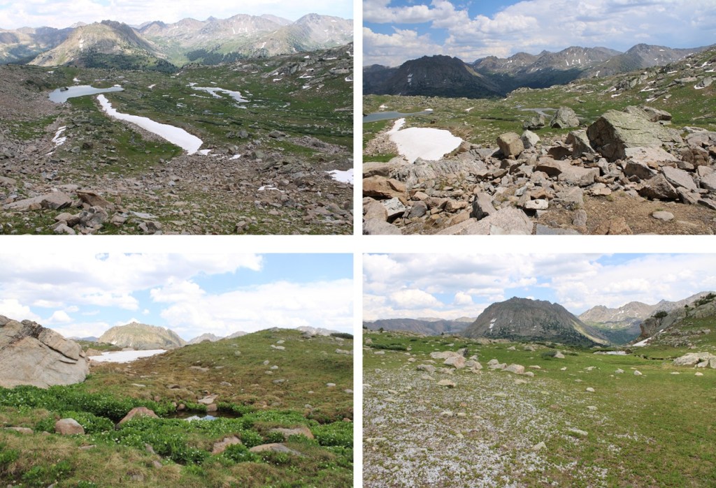
At the end of the basin I followed the stream that was running pretty strongly all the way back down to Lost Man Loop Trail, staying to the left of the stream the entire time.

Back on Lost Man Loop Trail, I followed it southwest back to the trailhead.
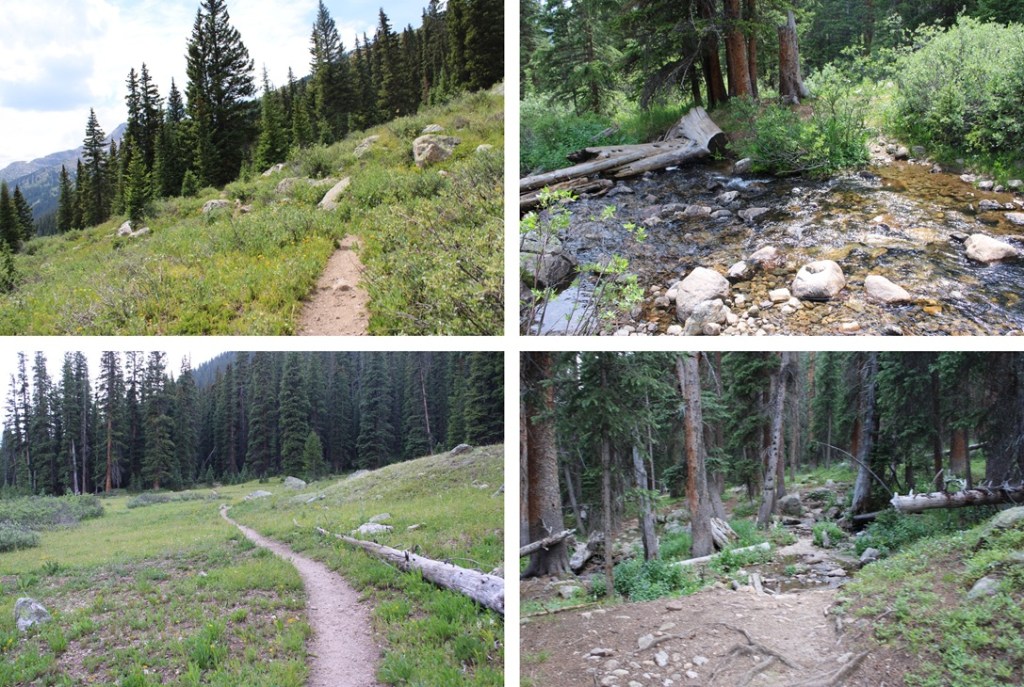
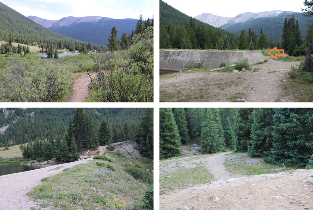
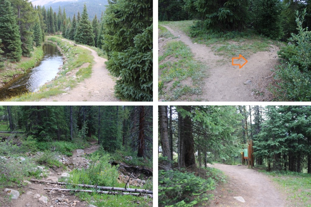
I made it back to my truck at 4pm, making this a 15.26 mile hike with 3918’ of elevation gain, according to CalTopo. My numbers with Strava were different.
On to the next trailhead!


What a fantastic adventure! Be safe out there. That cornice sounded scary. I just followed your report out to Isolation and Mahana last Sunday and had a great time. I’m looking forward to following in your footsteps again soon to Pagoda and then Ogalalla this year.
LikeLiked by 1 person