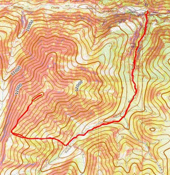
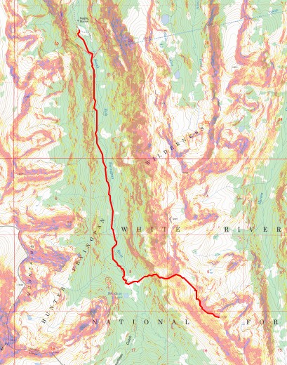
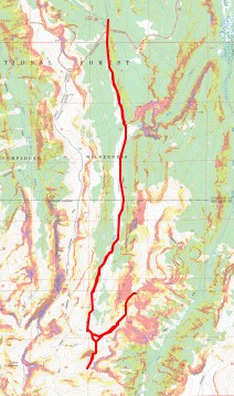
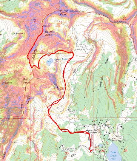
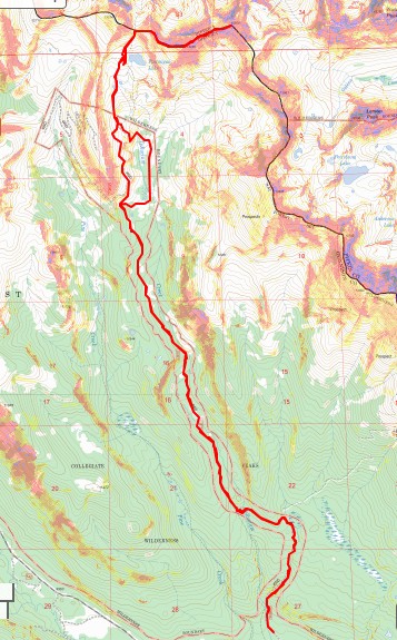
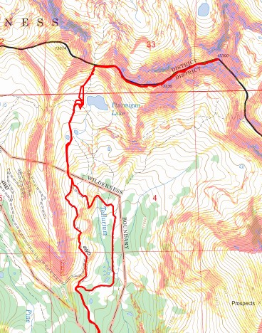
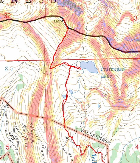
RT Length (from upper trailhead): 4.32 miles
Elevation Gain (from upper trailhead): 2191’
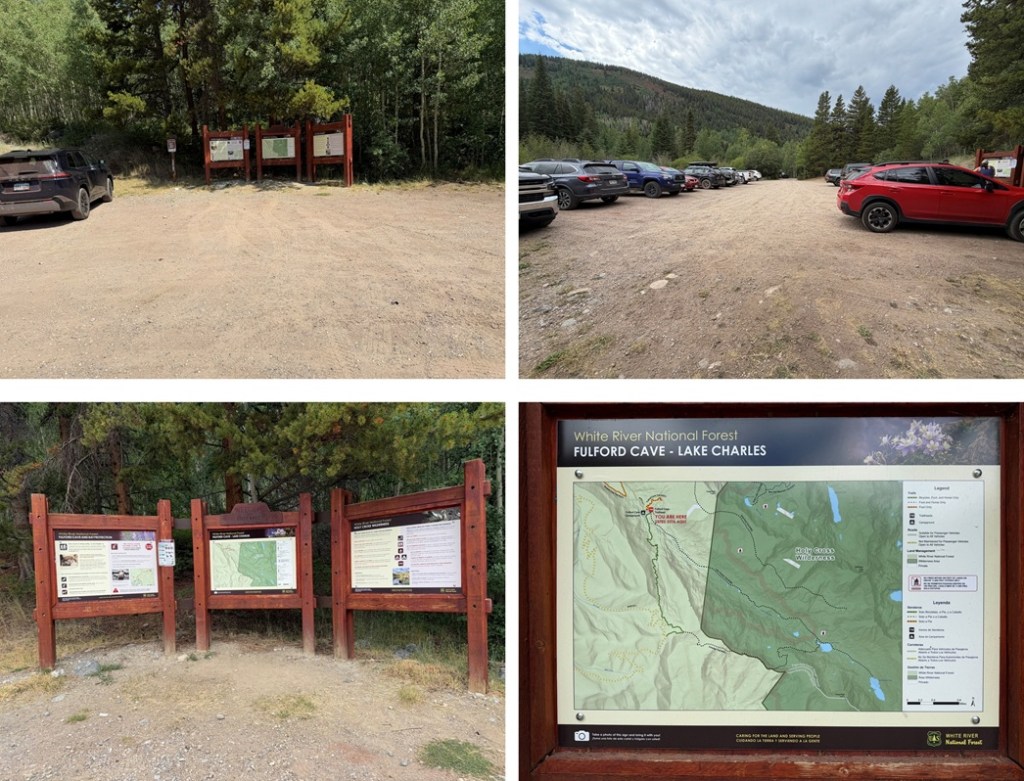
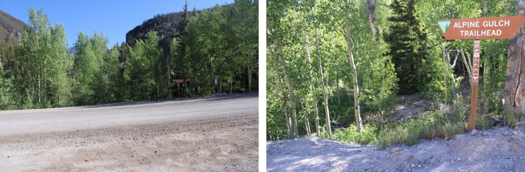
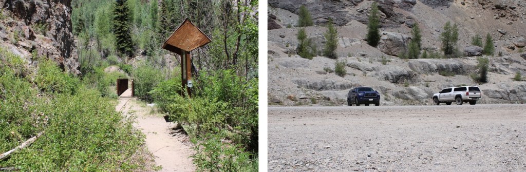
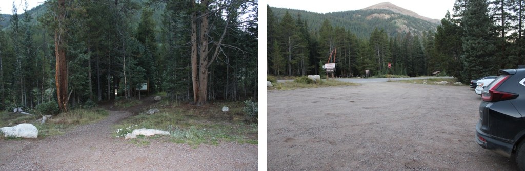
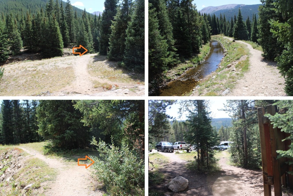
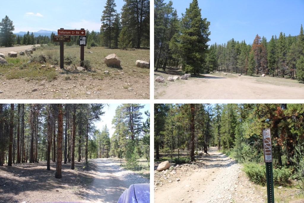
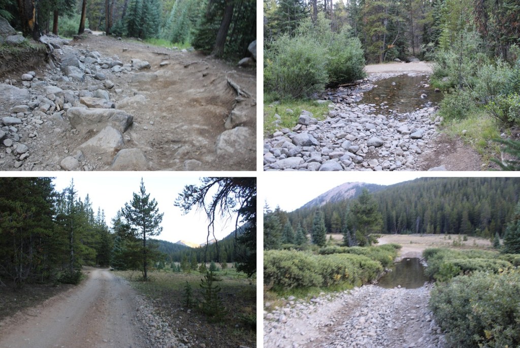
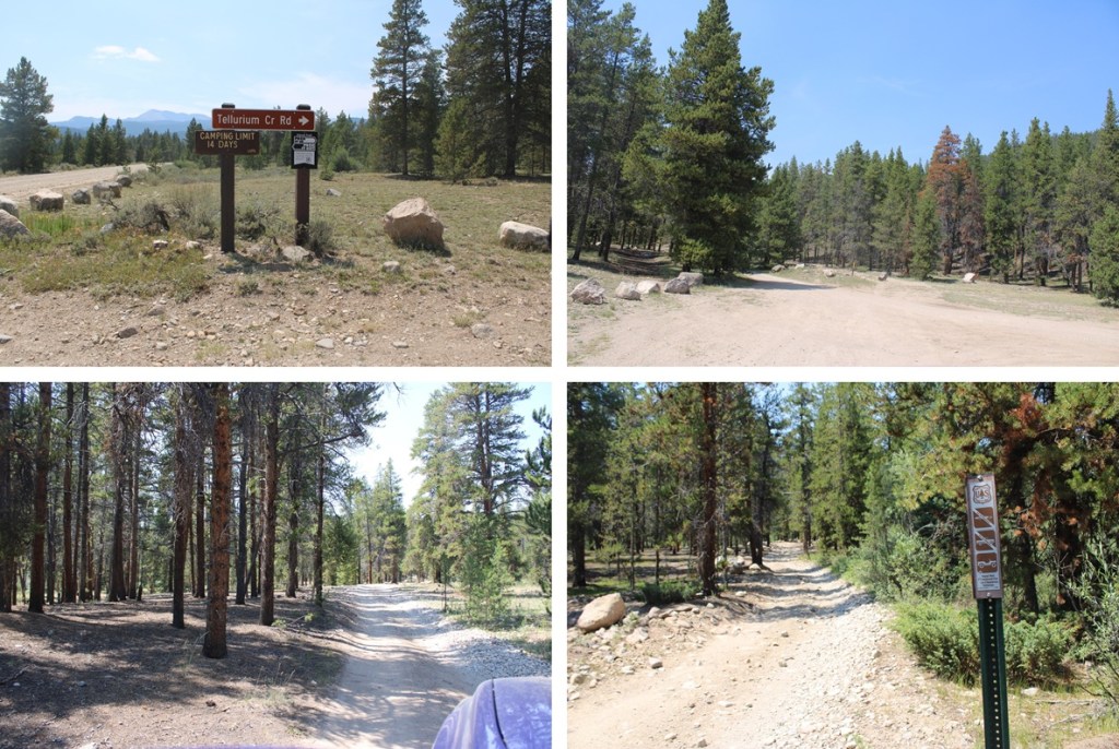
If you have a 2WD vehicle you can start from San Juan County Road 70 and County Road 35. There’s a parking area there with information signs.

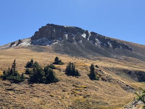
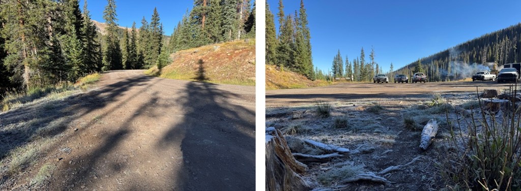
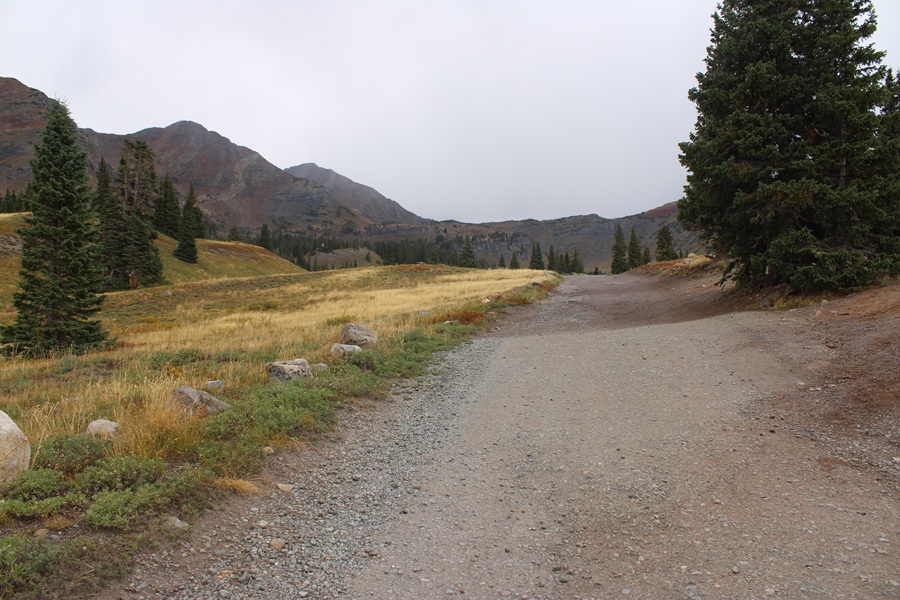
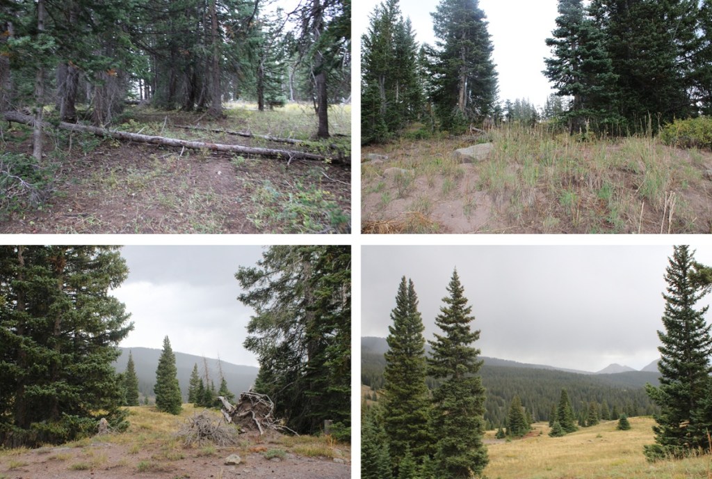
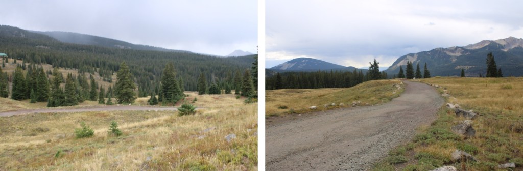
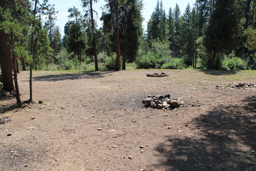
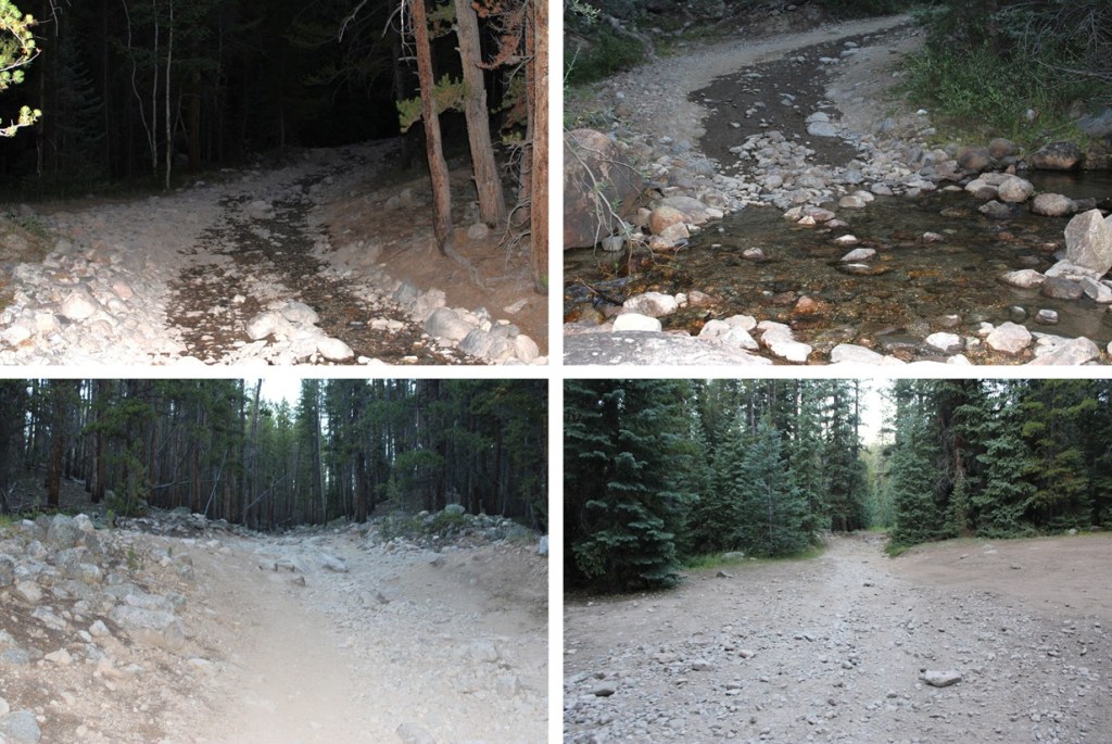
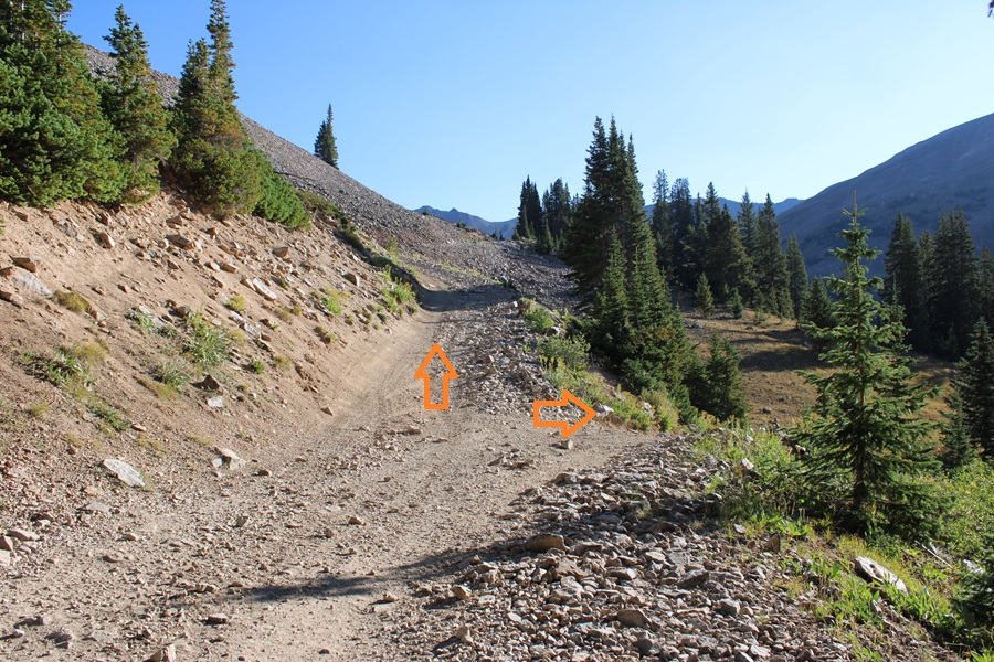
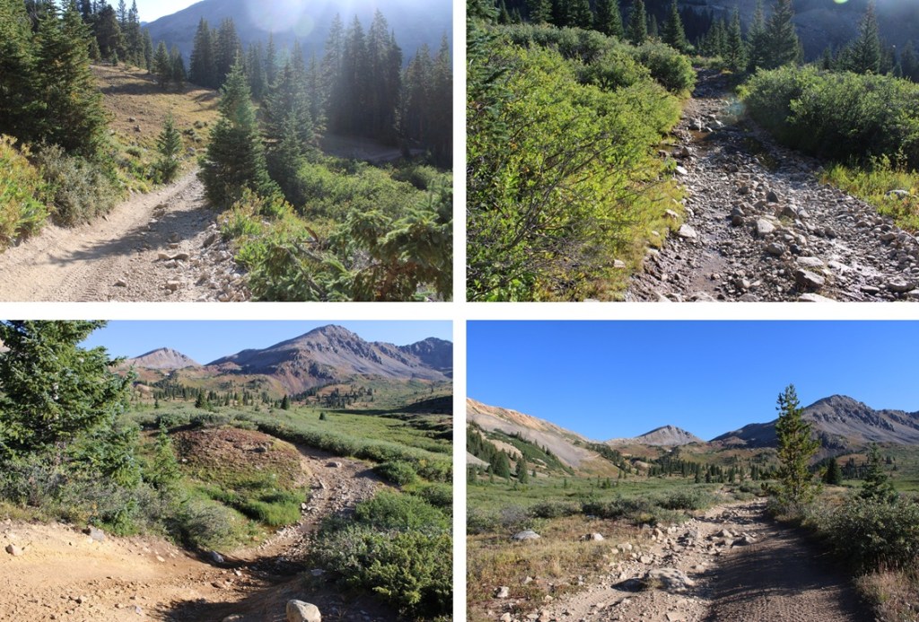
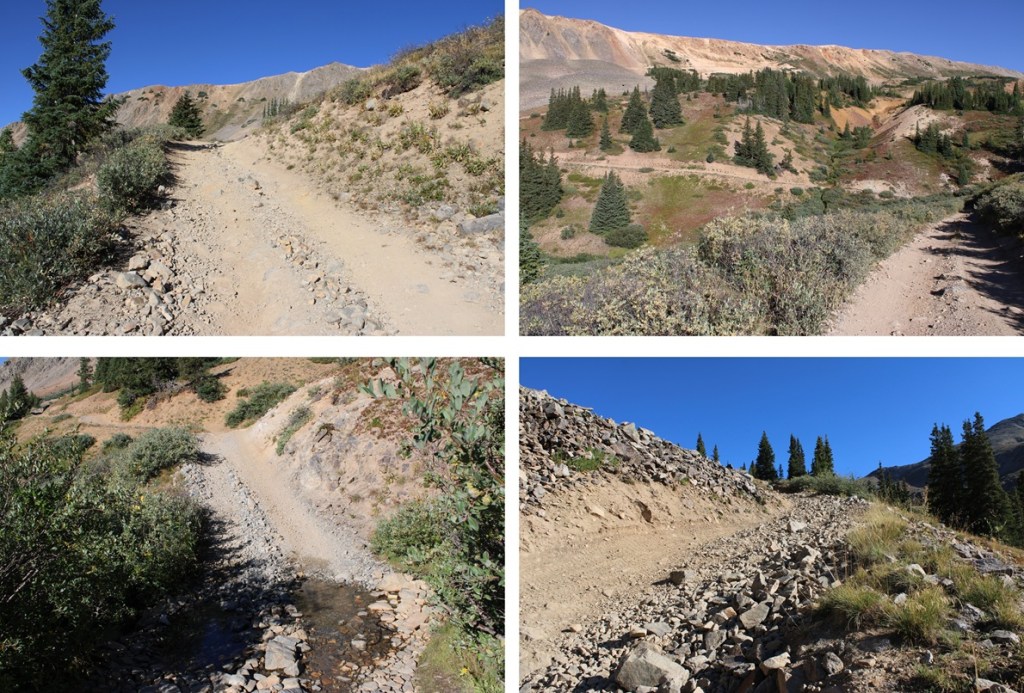
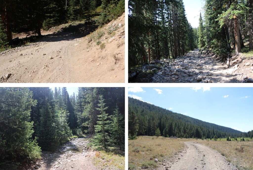
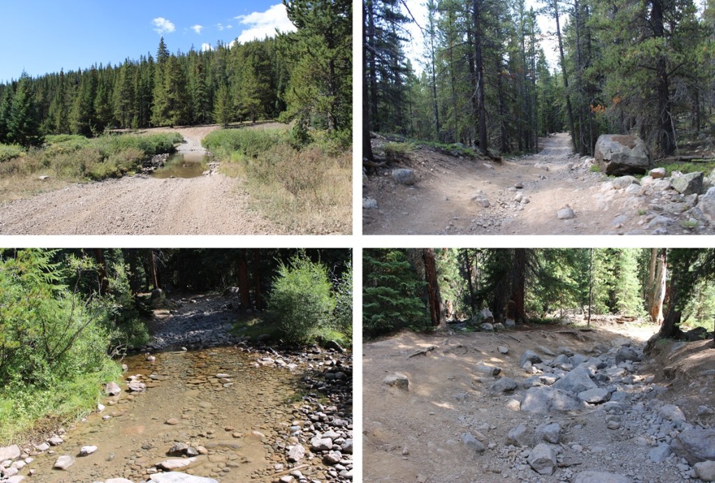
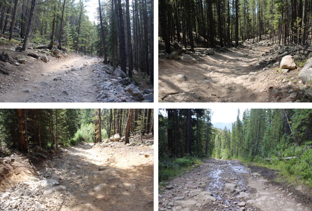
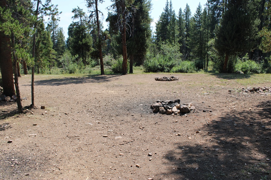
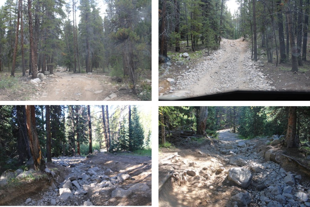
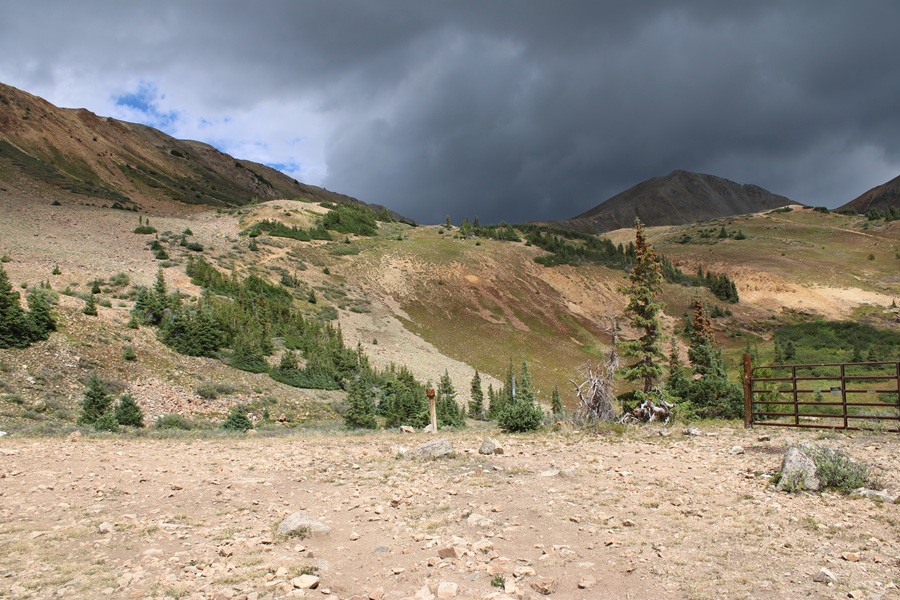
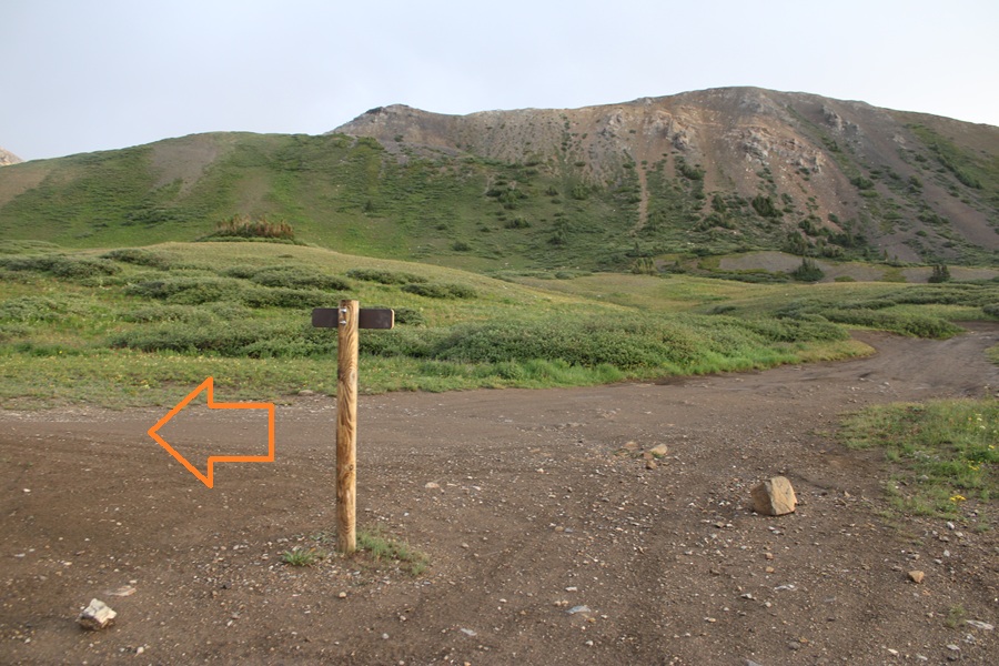
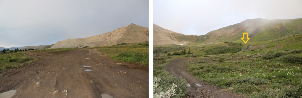
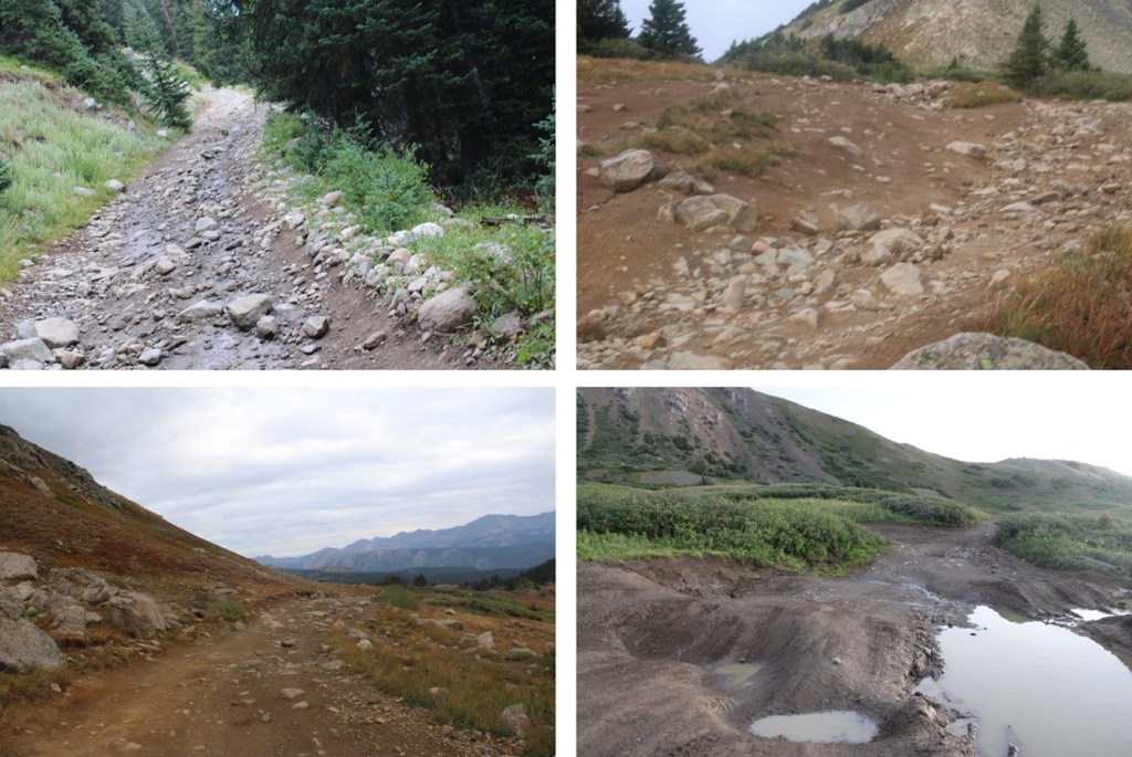
If you have a 4WD vehicle just drive 1.5 miles up County Road 70 to a small parking area (1550’ of elevation gain). About 3 or 4 vehicles will fit here if everyone parks nicely. I have a 4WD vehicle, so I drove to the upper parking area at 11270’. This is also the last turnaround on the road (not that there’s many to begin with… no real passing areas or places to park until you reach the upper trailhead). There’s a small handmade sign just past the parking area letting you know it’s a private road ahead with a difficult turnaround. Also, beware of porcupines. Make sure you take precautions if you park your vehicle here.


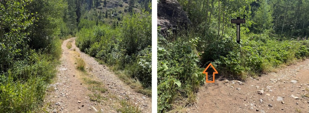
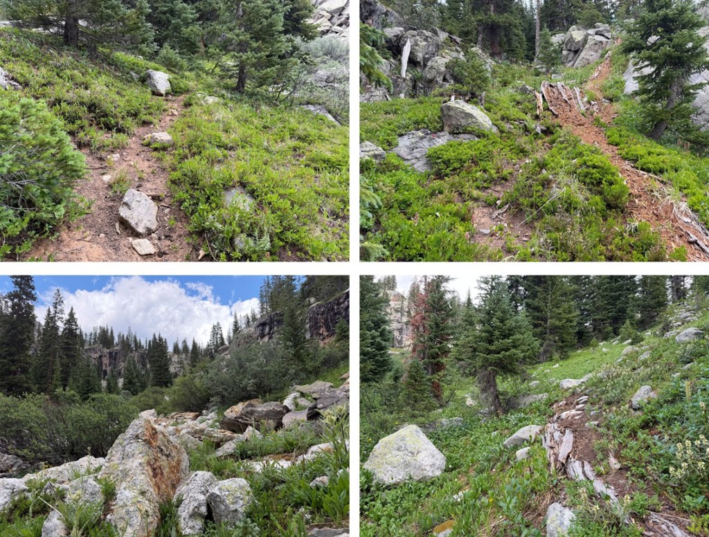
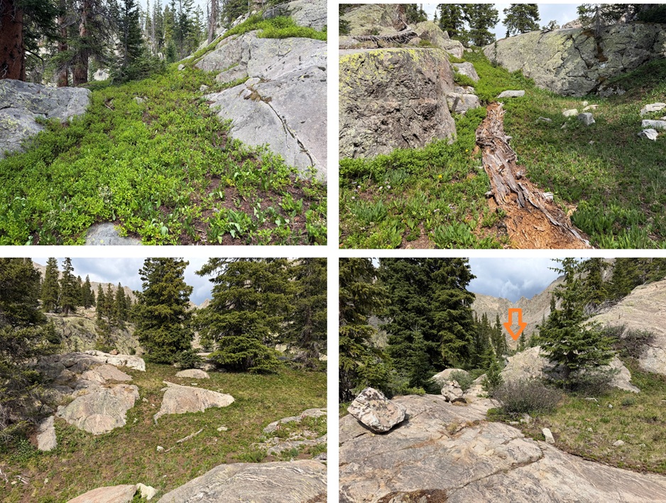
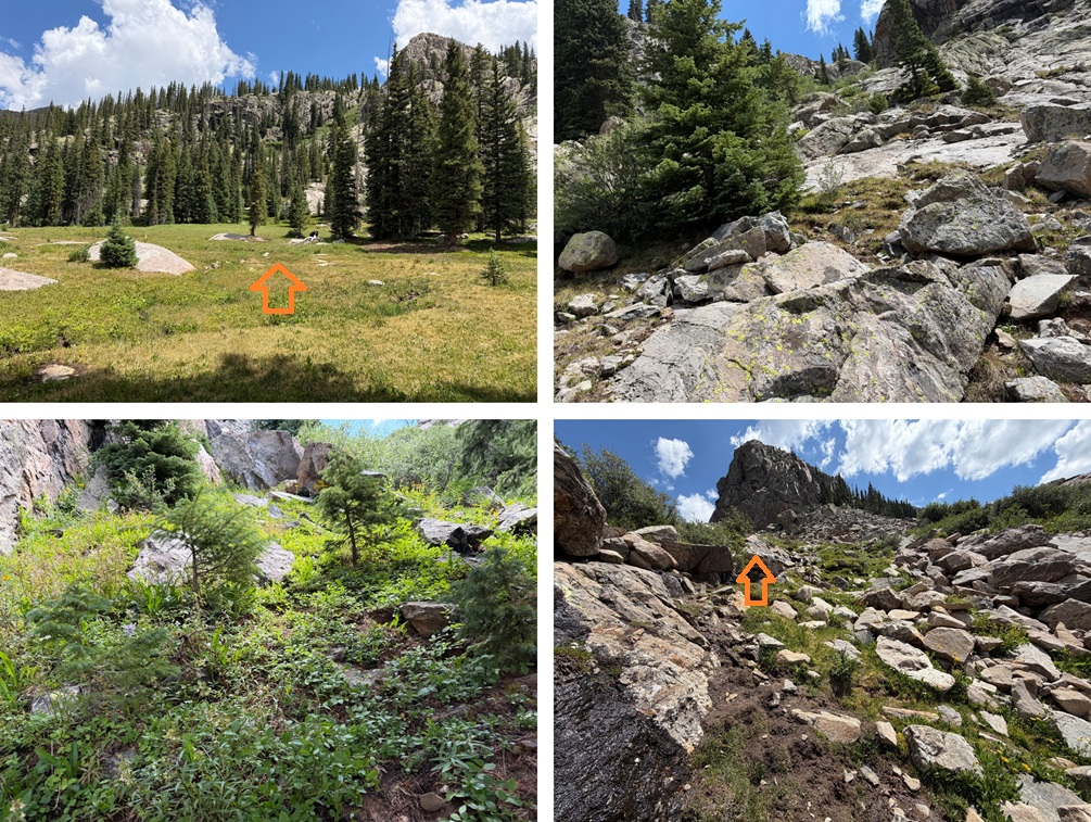
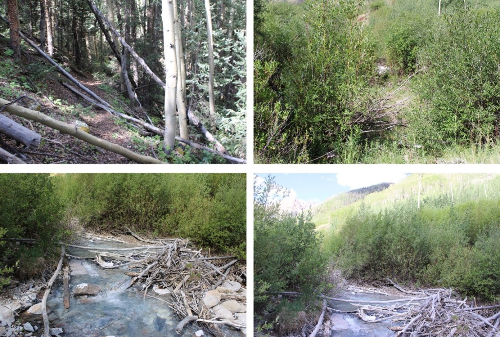
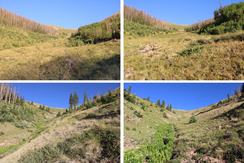
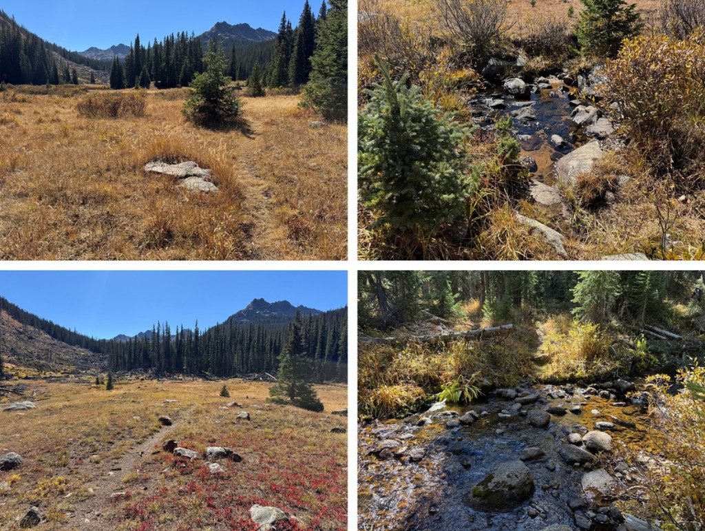
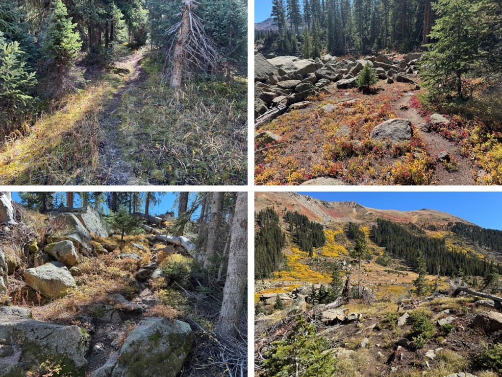
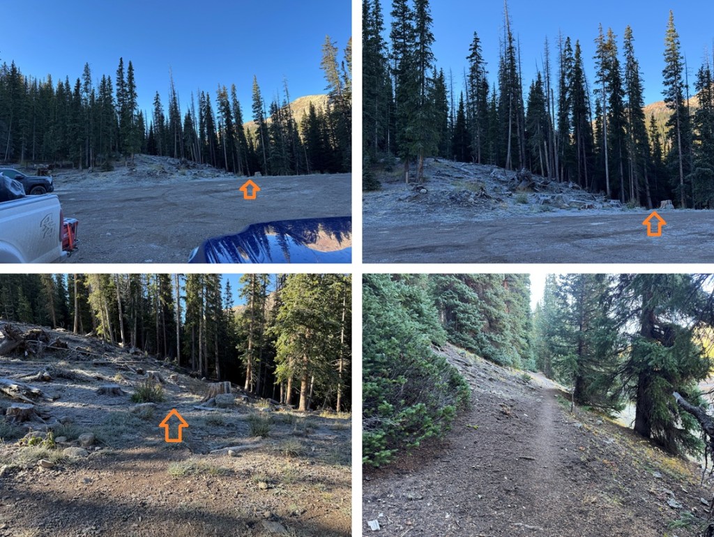
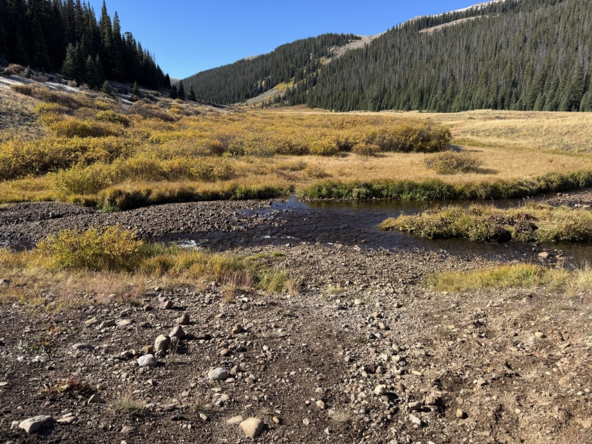
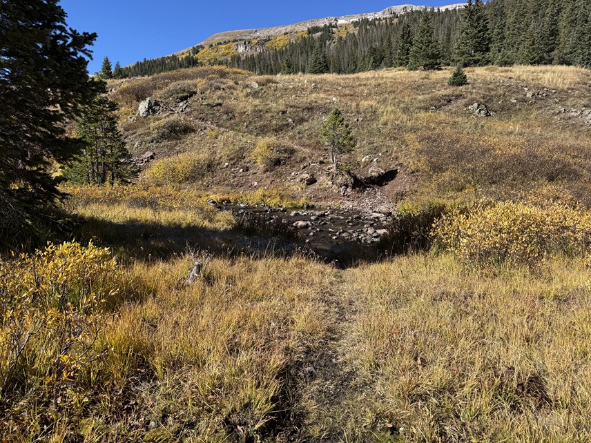
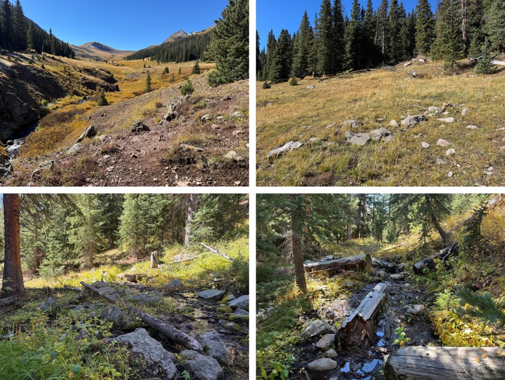
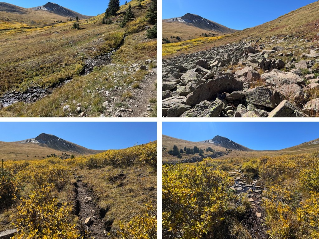
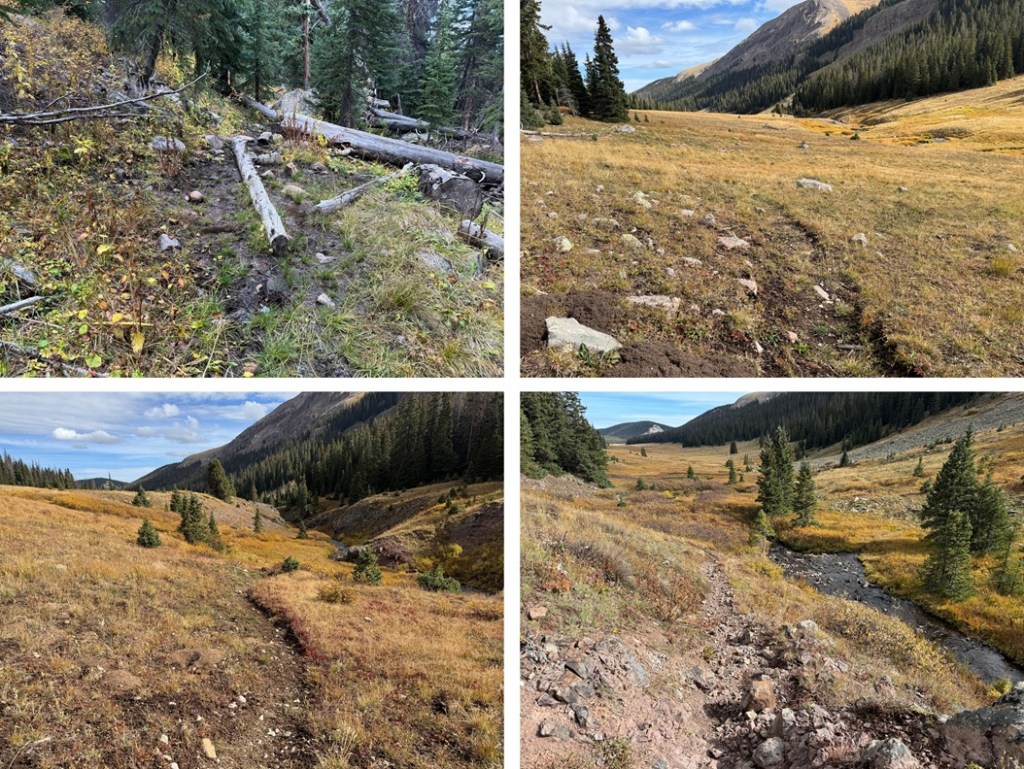
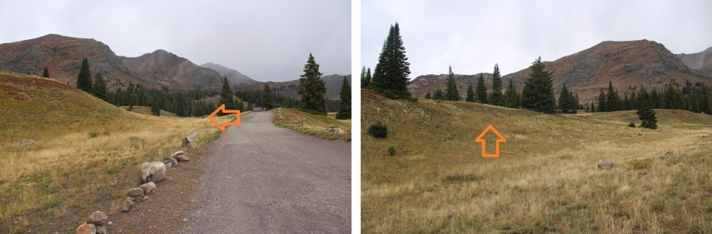
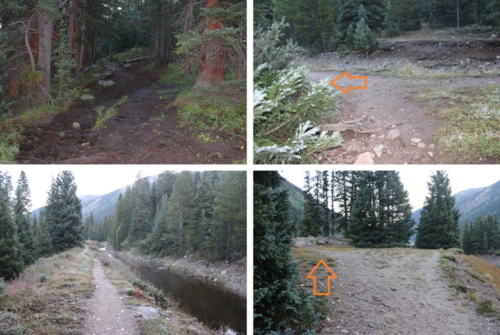
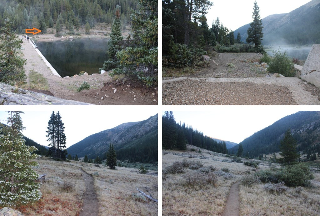
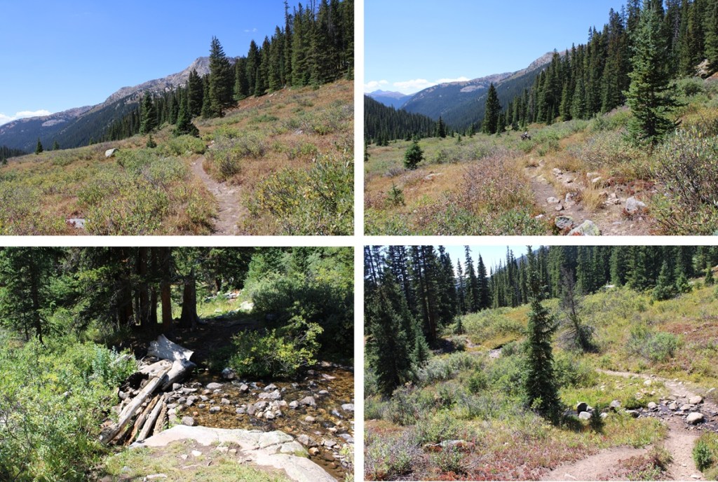
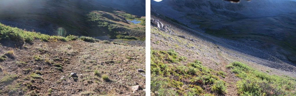
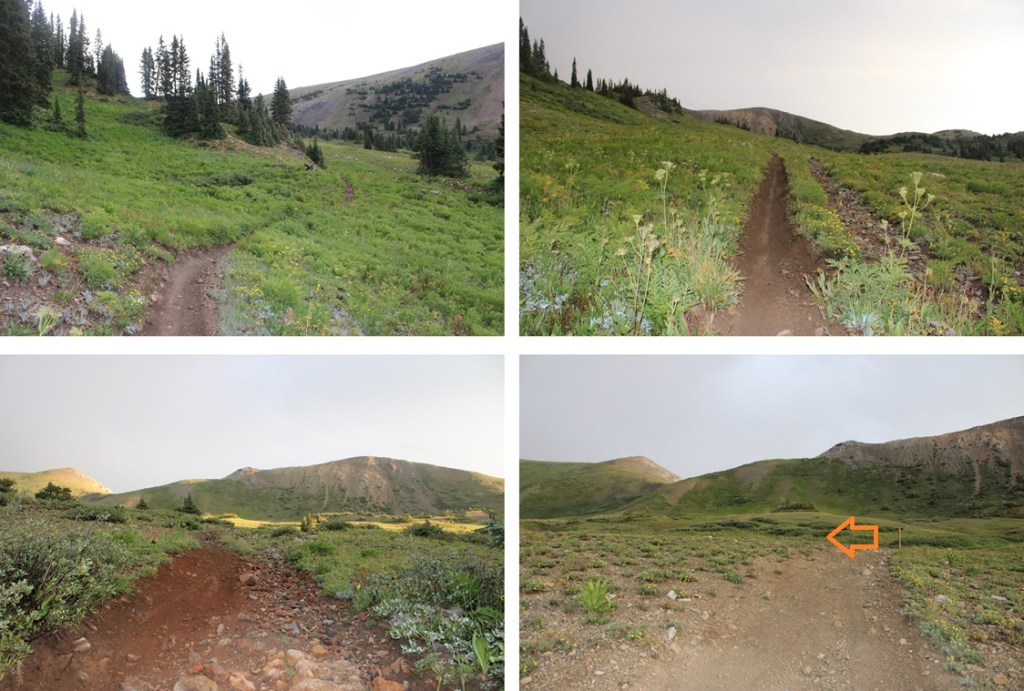
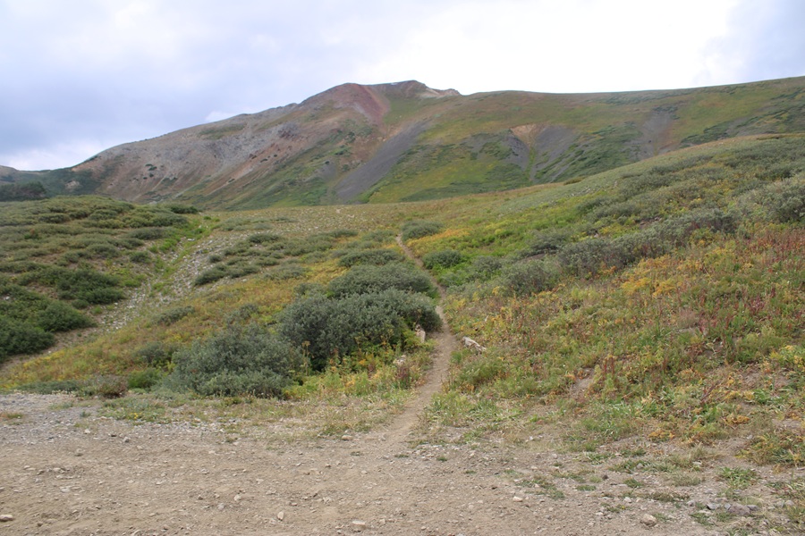
There’s no signage here, but the start of the trail is obvious. I followed this trail up the small ridge.

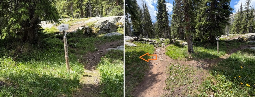
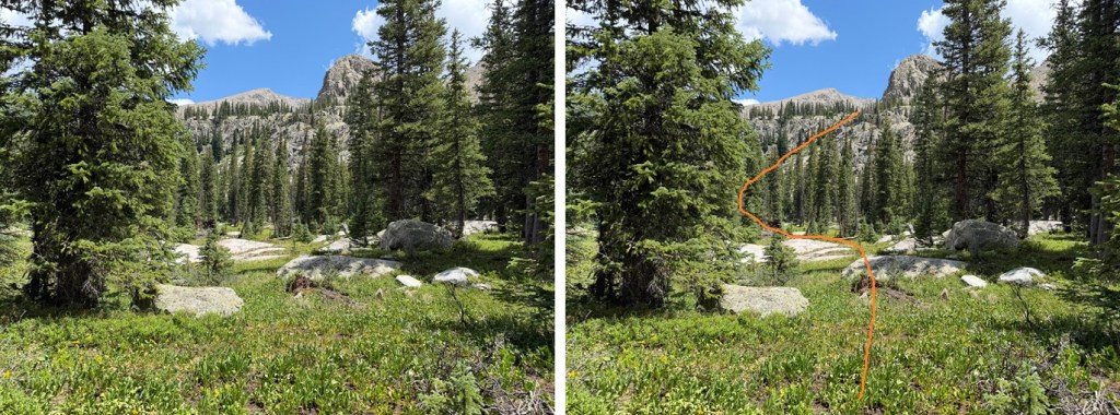
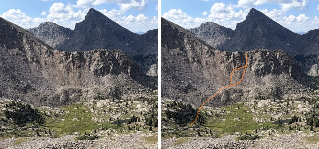
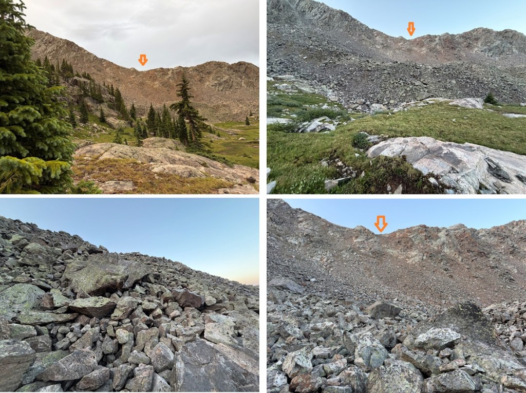
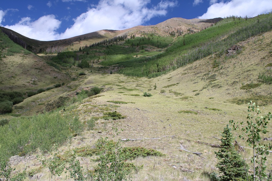
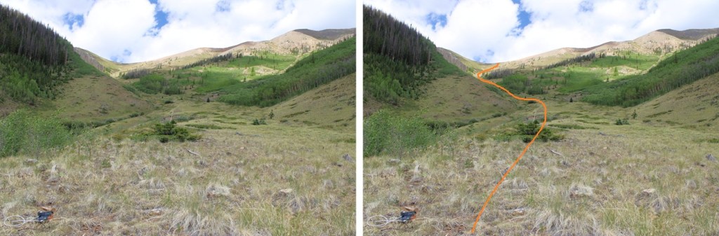
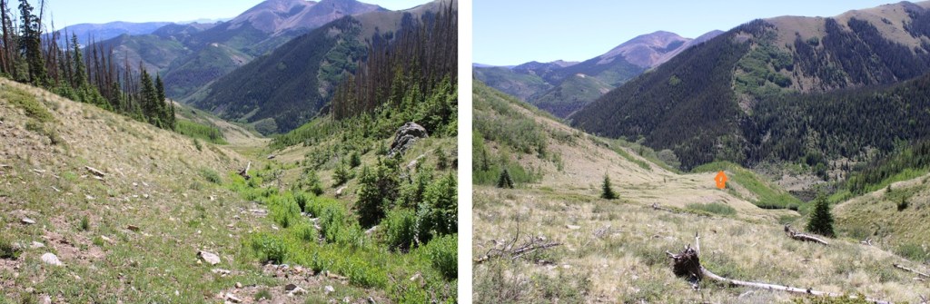
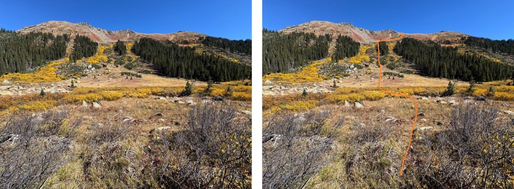
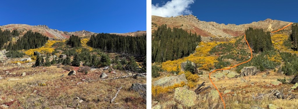
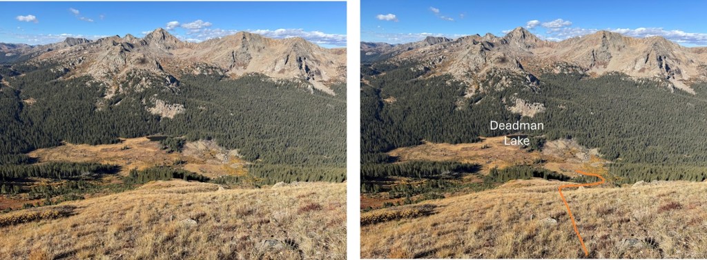
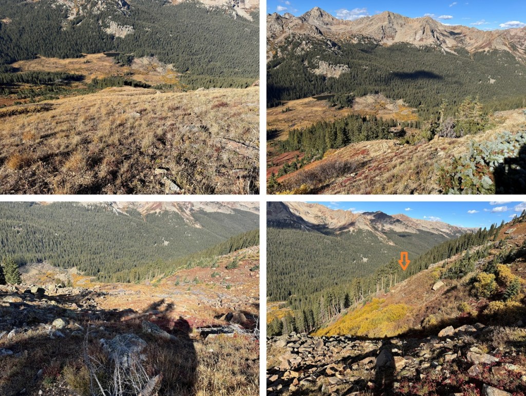
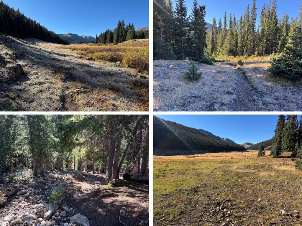
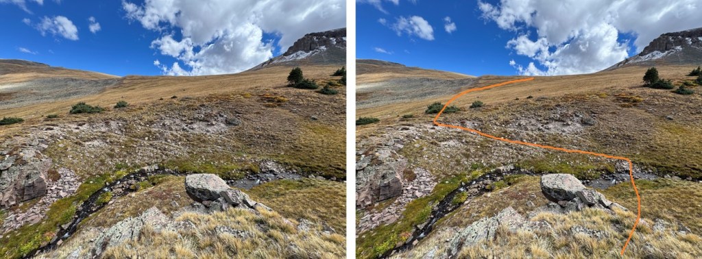
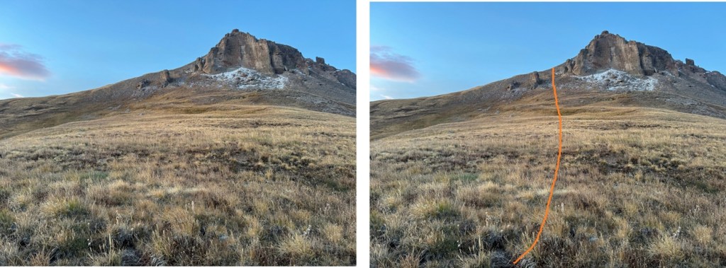
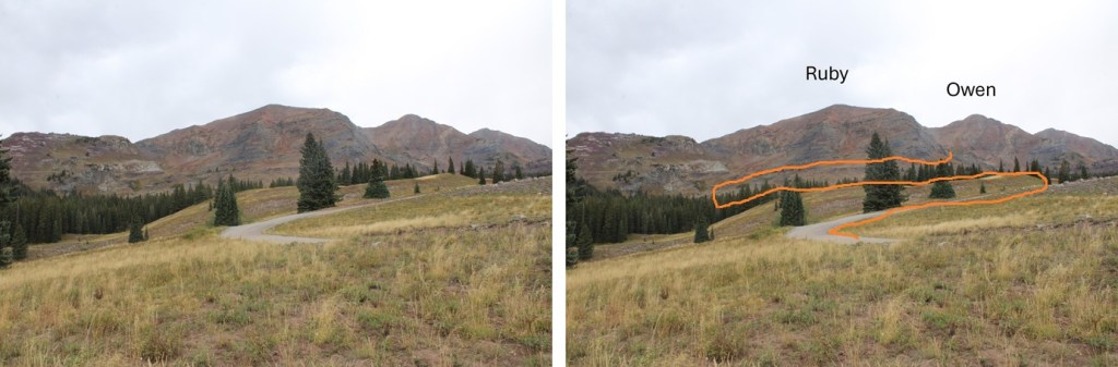
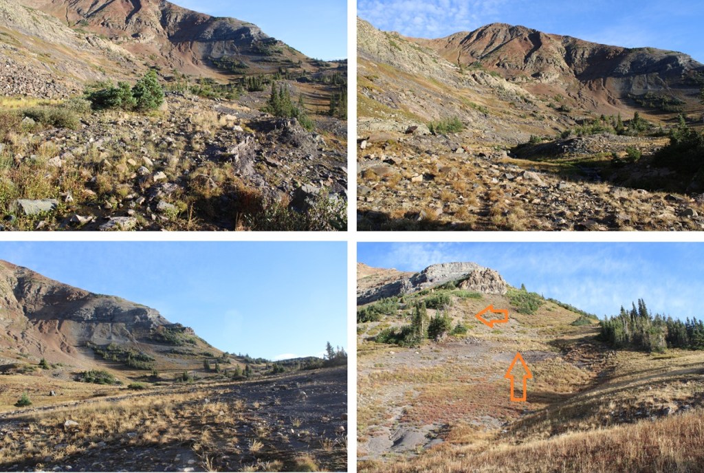
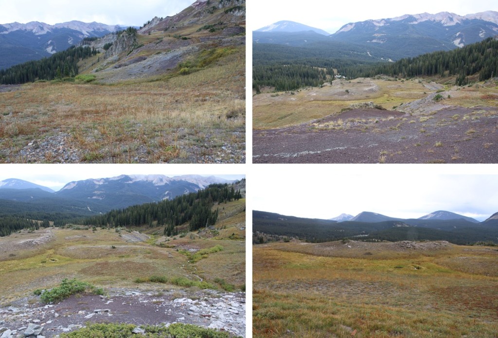
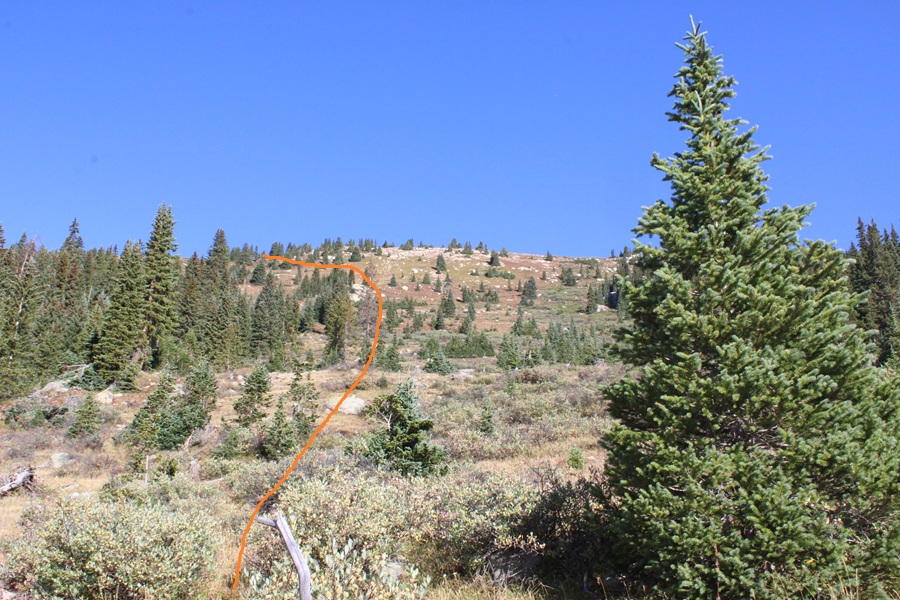
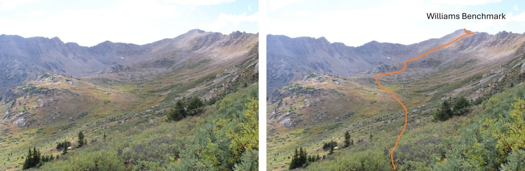
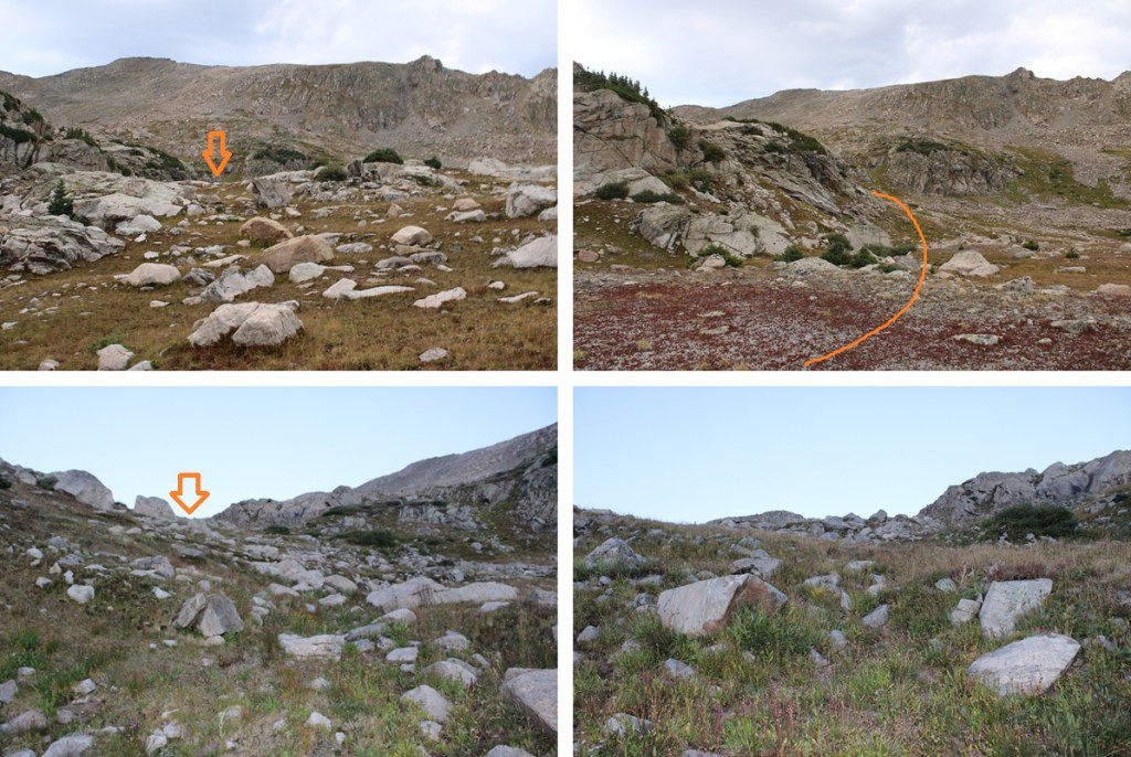
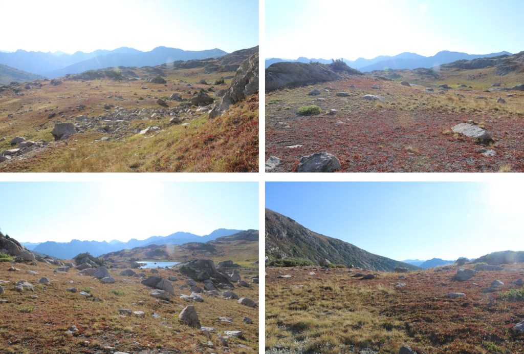
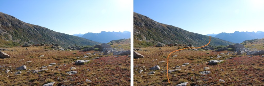
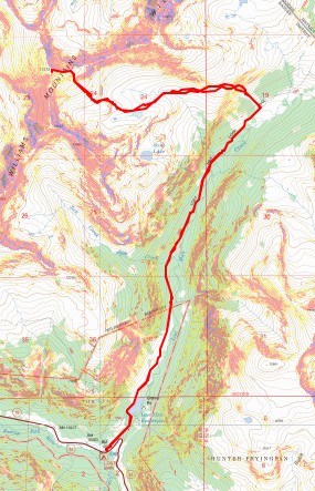
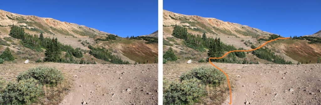
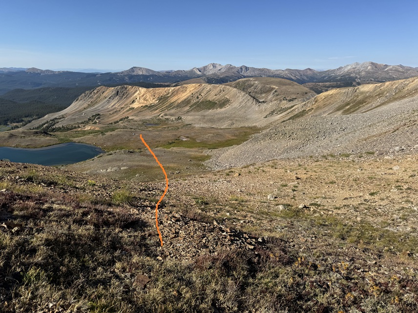
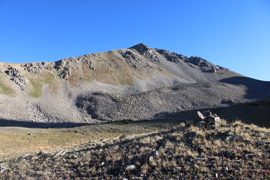
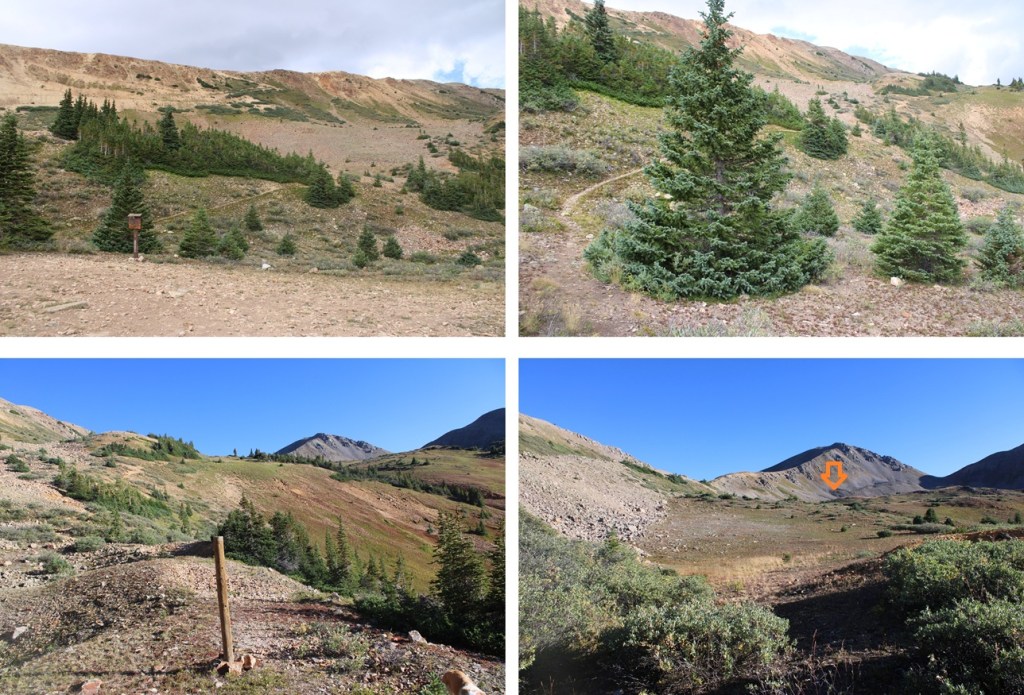
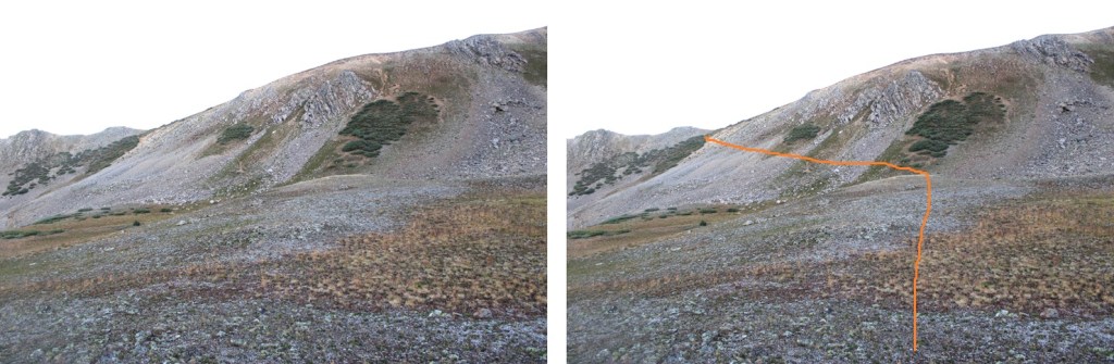
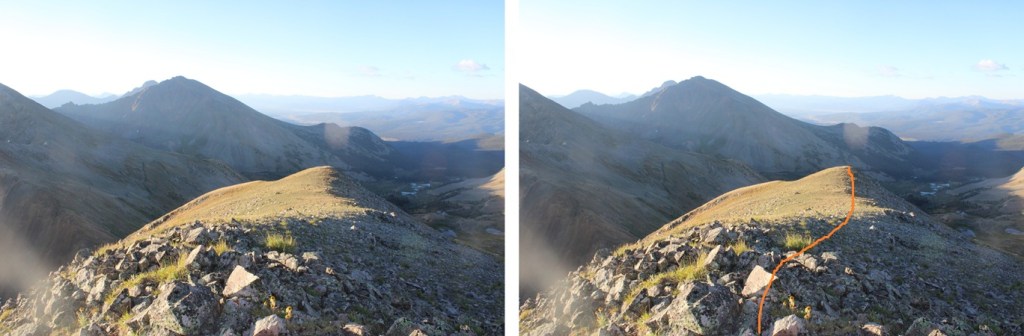
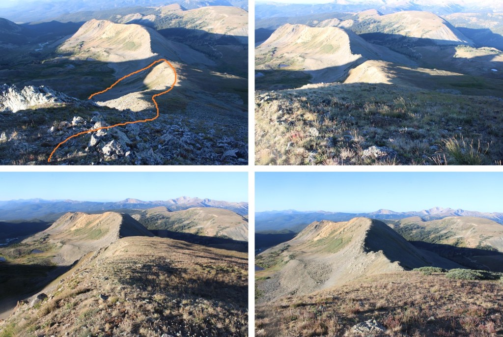
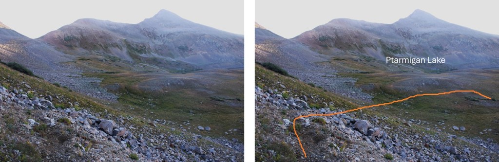
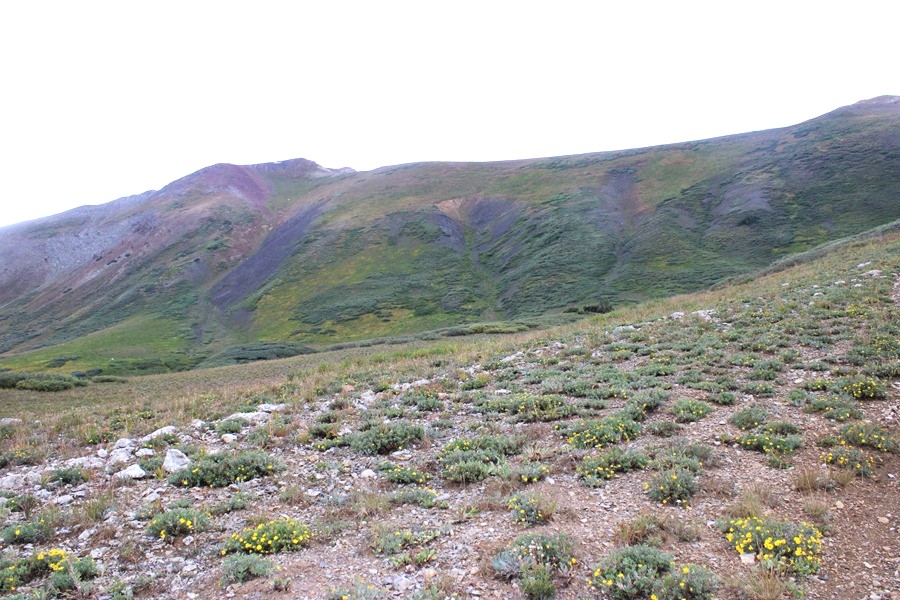
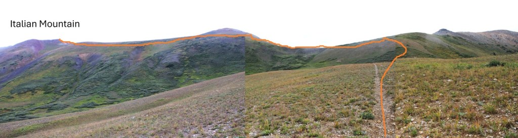
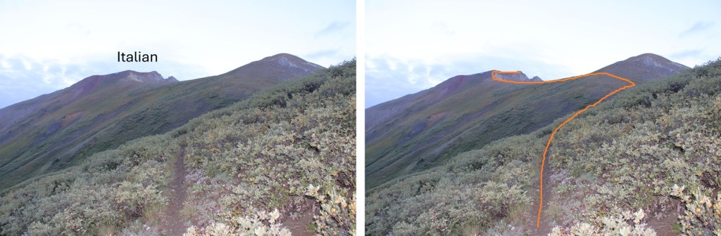
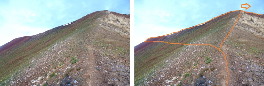
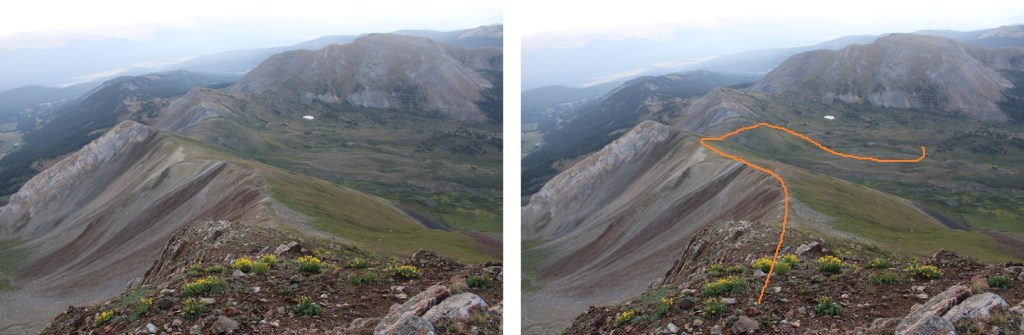
At the top of this little ridge the trail stopped, but I was going off trail anyway. There was a great view of my first objective: gaining the ridge. This is a choose your own adventure kind of deal, with lots of options. Here’s an overview of the route I took to the real ridge:

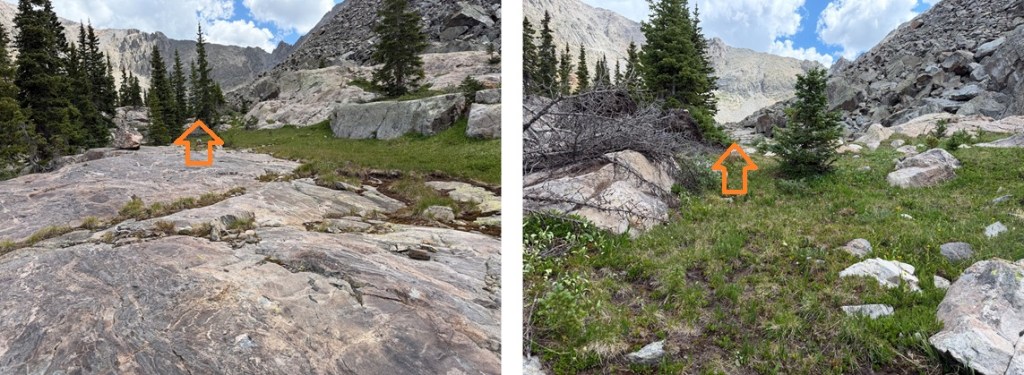
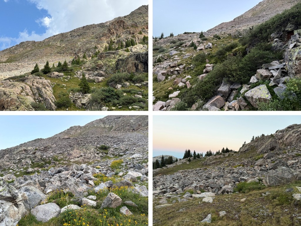
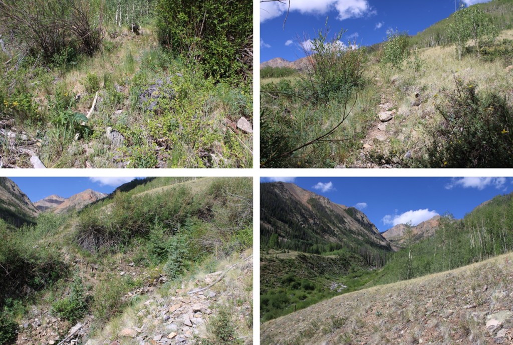
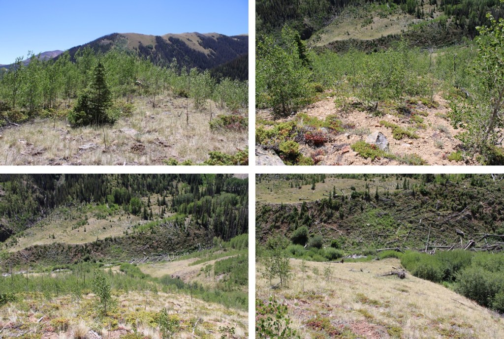
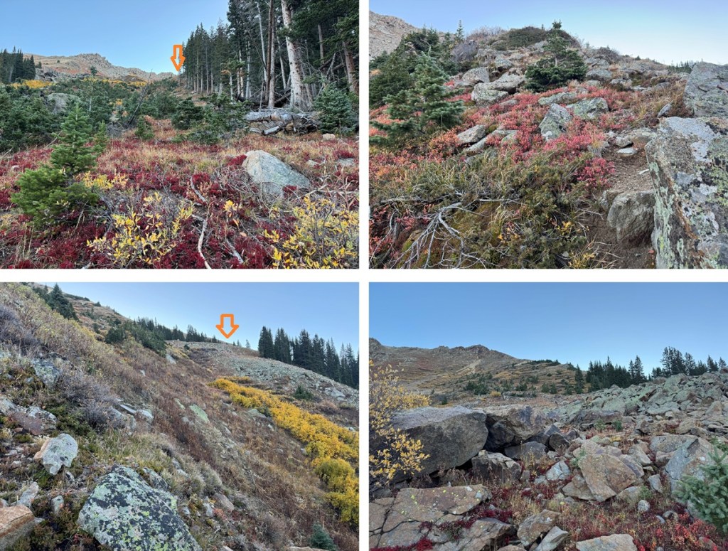
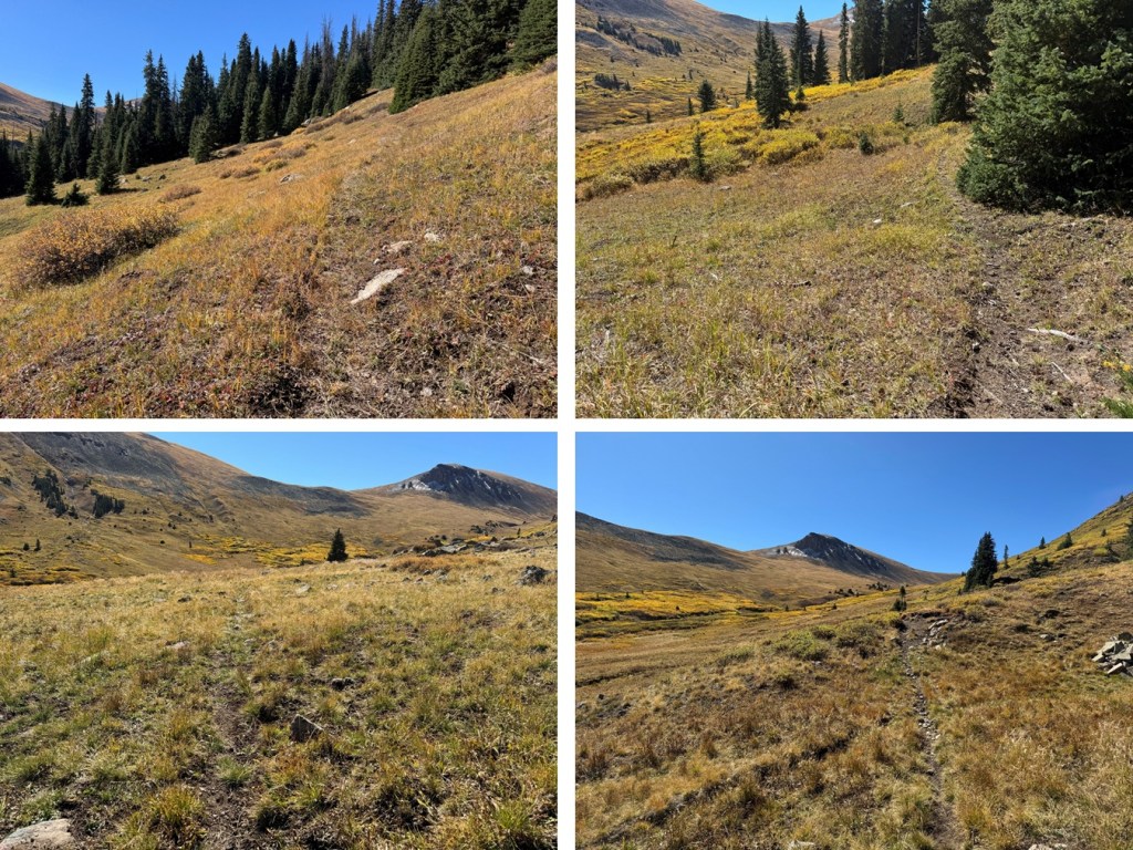
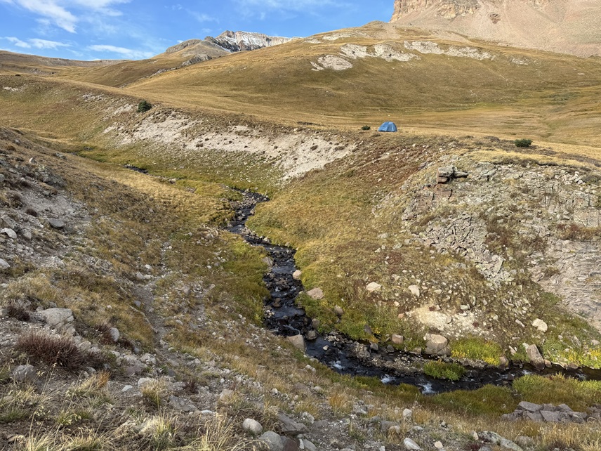
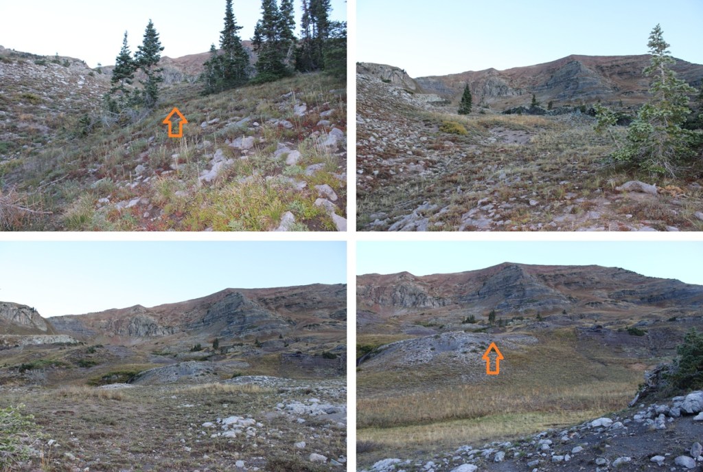
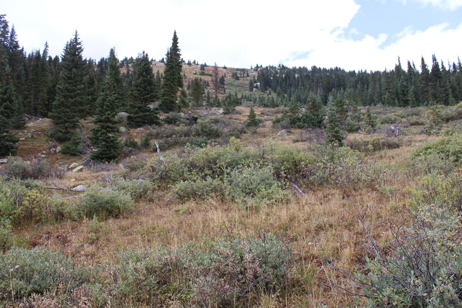
The route was obvious, with little to obstruct my view. I headed northeast through grassy areas and tundra towards some abandoned mines. There was a lot of evidence of Mountain Goats in the area but I didn’t see one.


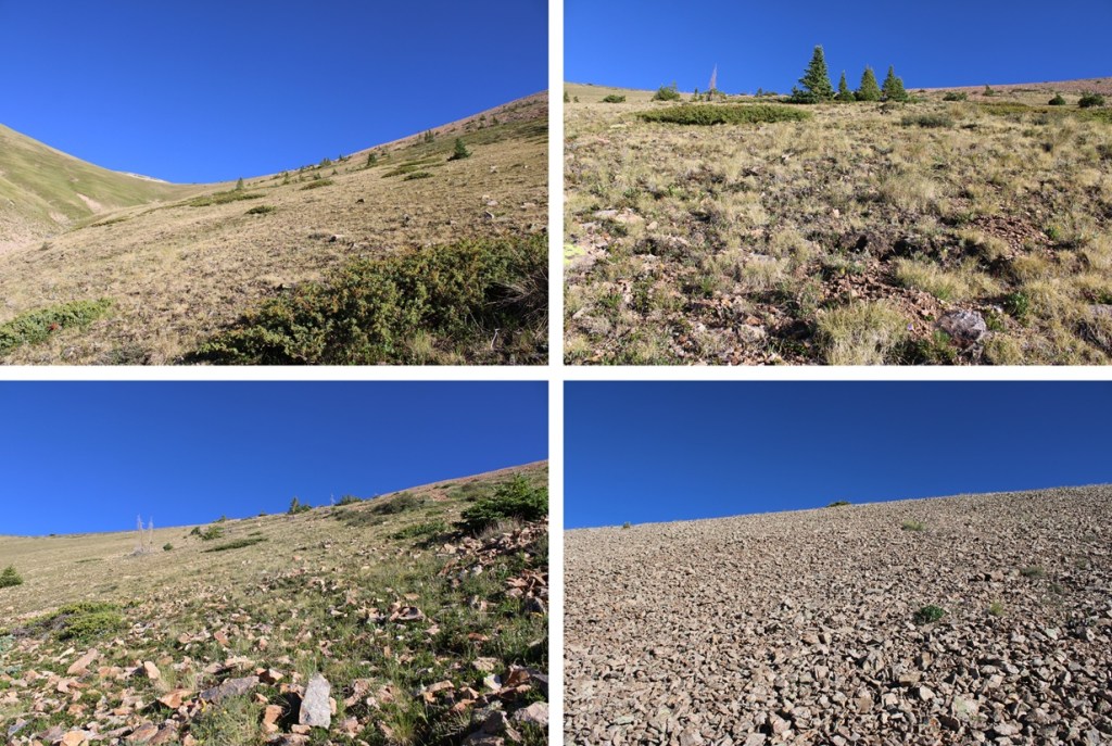
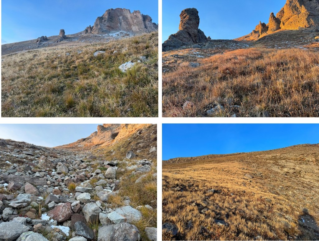
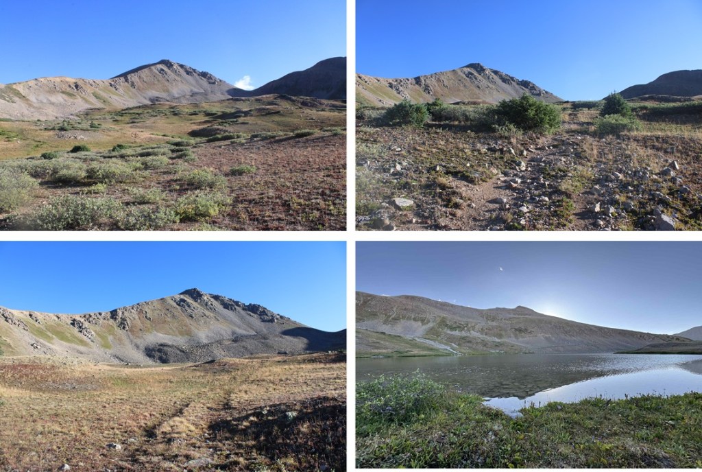
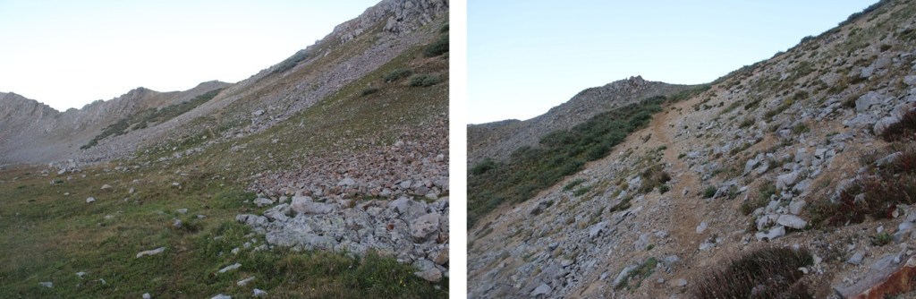
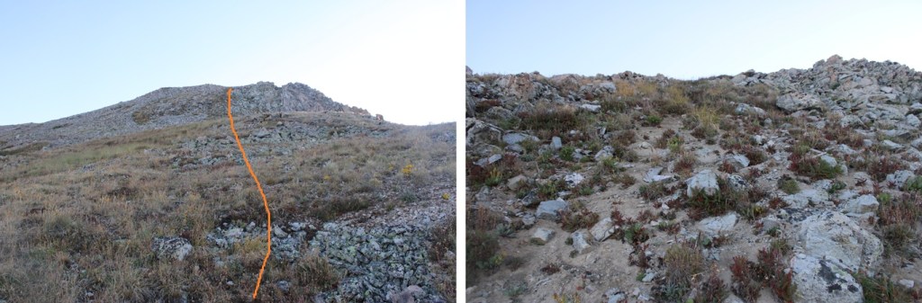
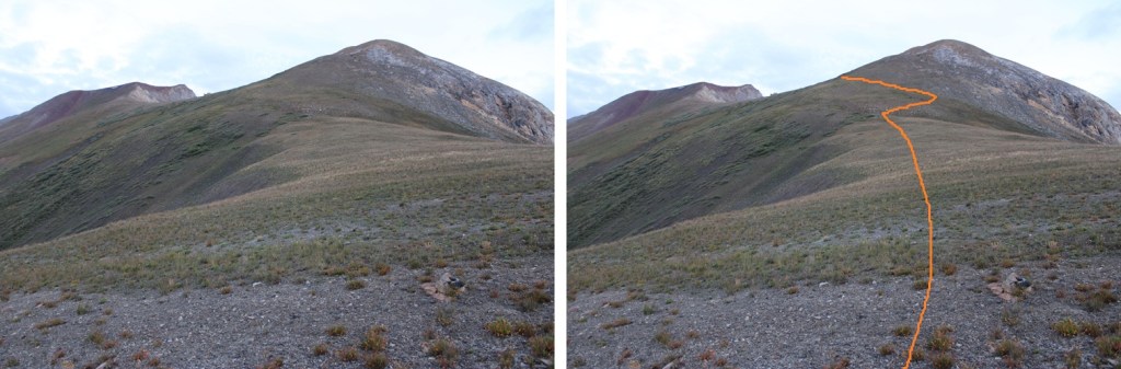
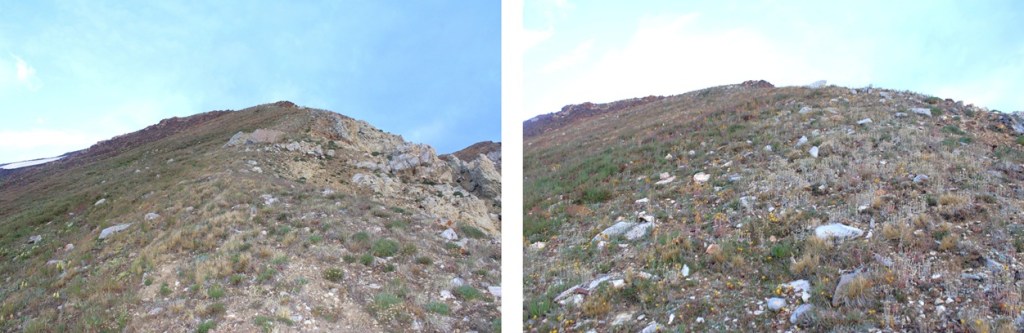
After passing the mines I turned right and headed east up a tundra slope that turned rocky


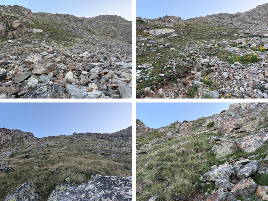
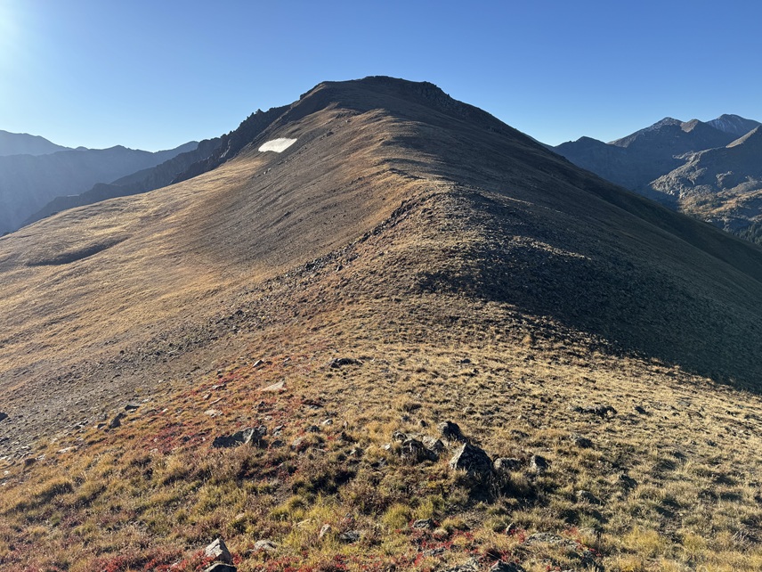
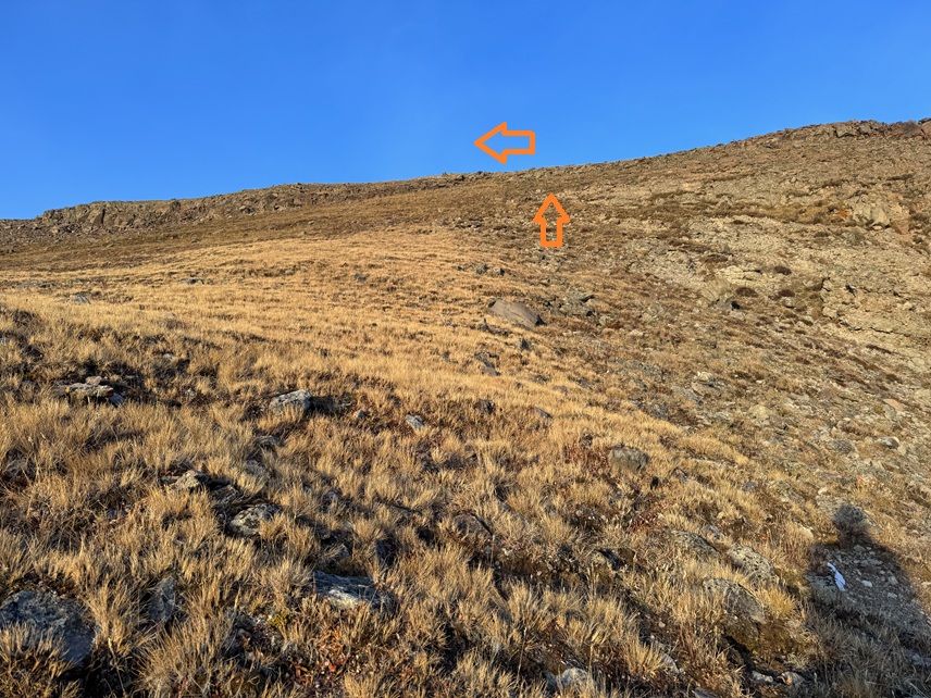
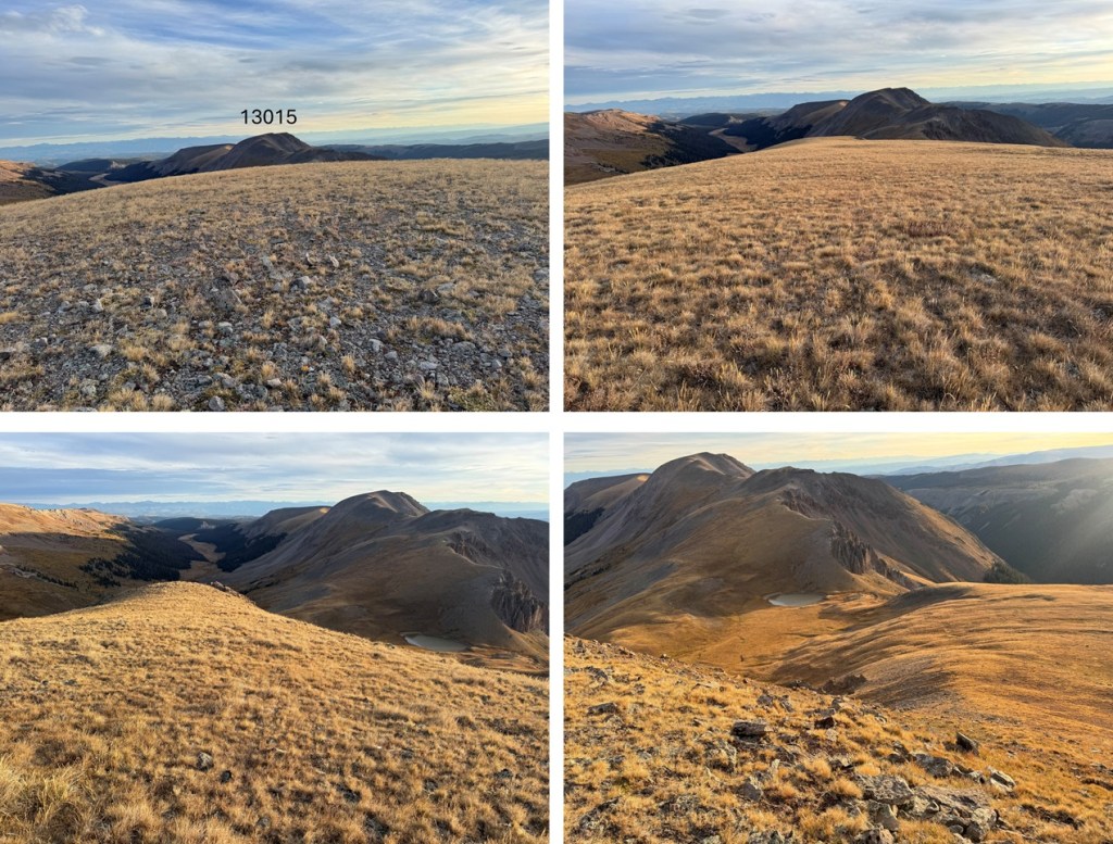
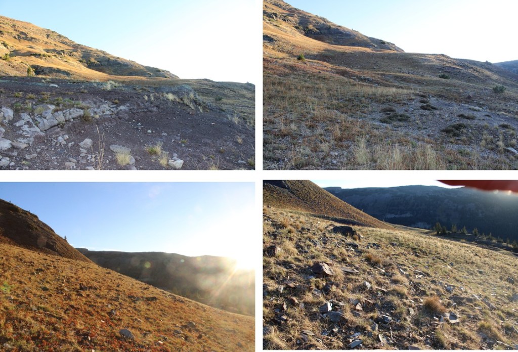
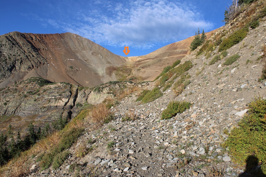
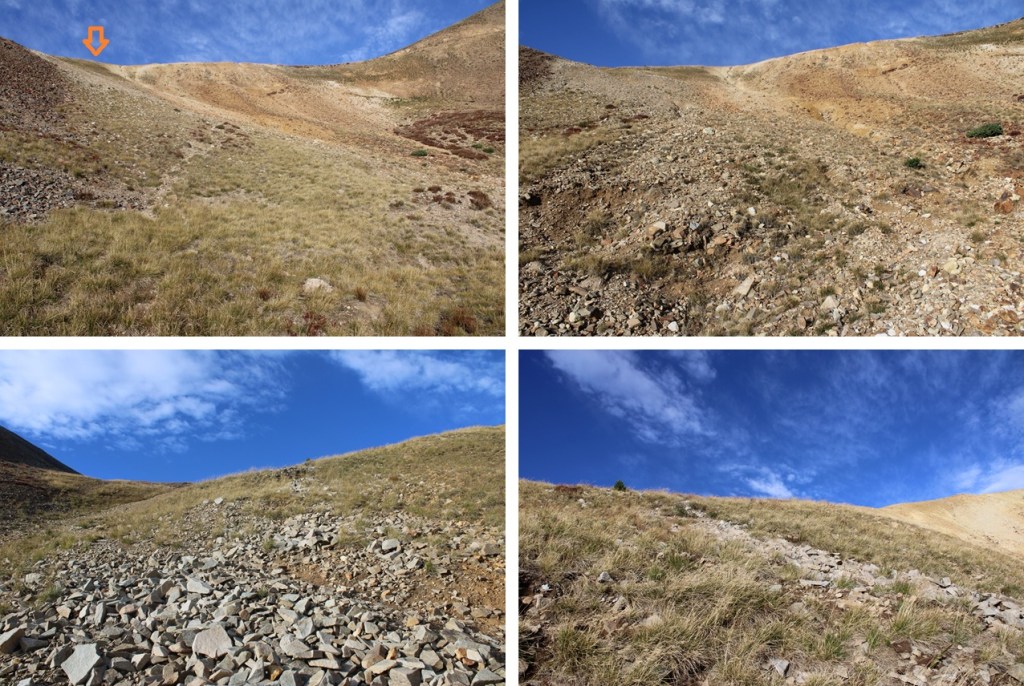
At the top of this slope I was greeted with another tundra ridge that headed northeast. I followed the ridge.

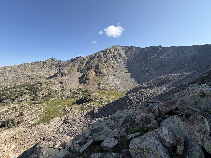
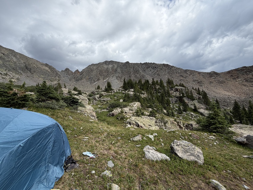
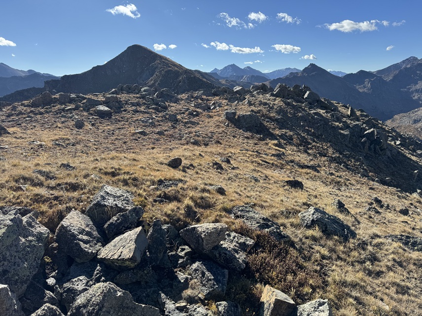
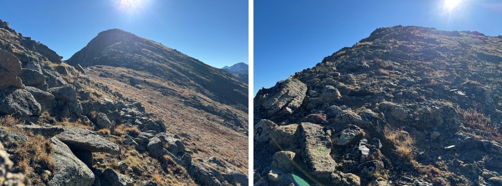
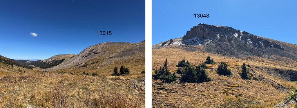
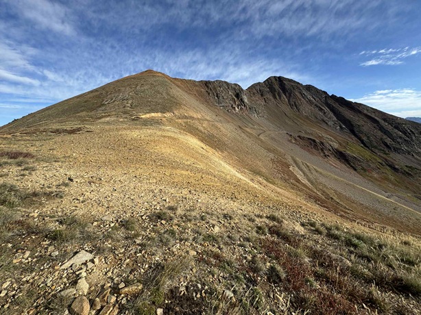
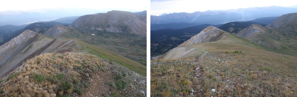
At the top of this tundra ridge I could clearly see Storm Peak to the east. It was time to put on my helmet and get to work.

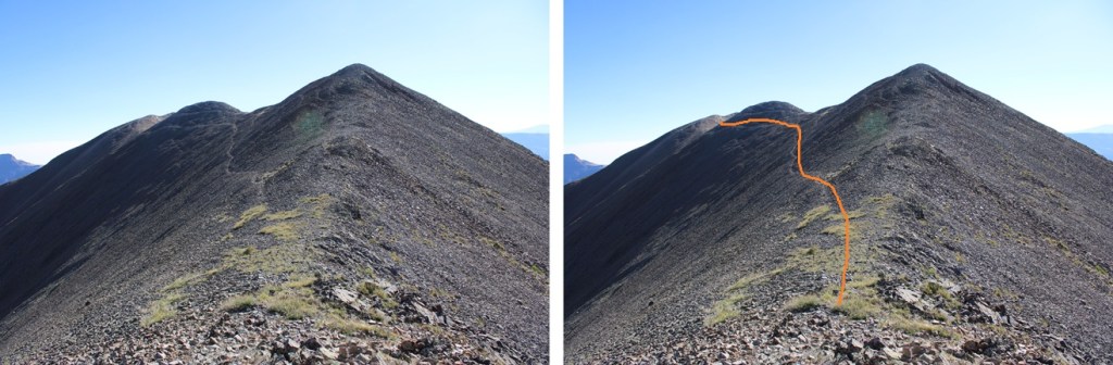
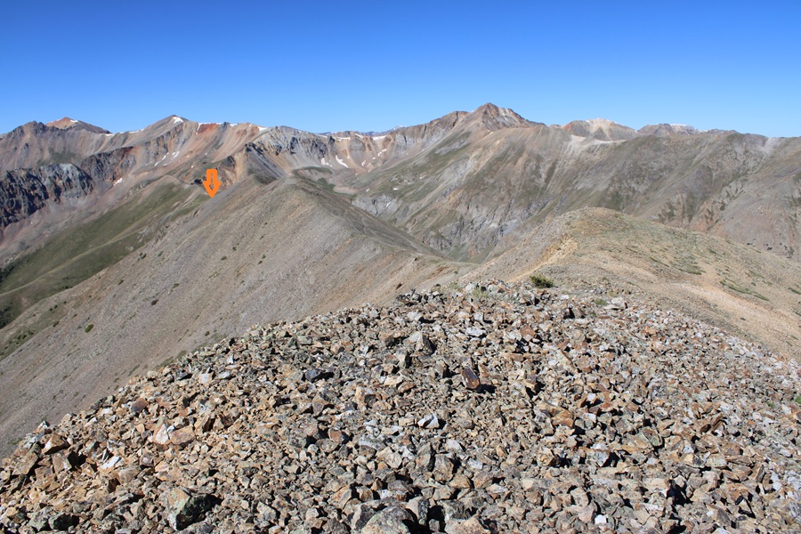
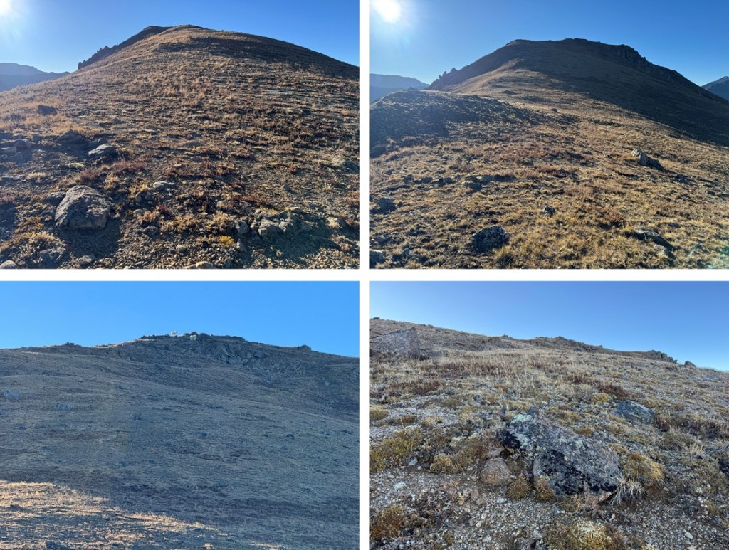
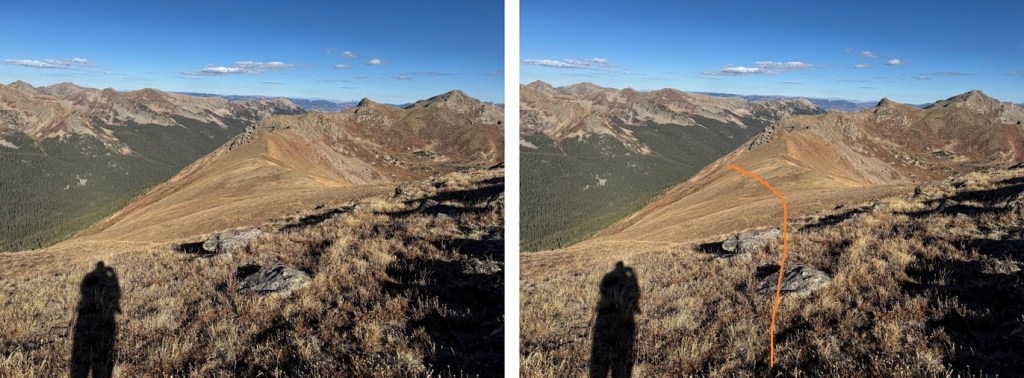
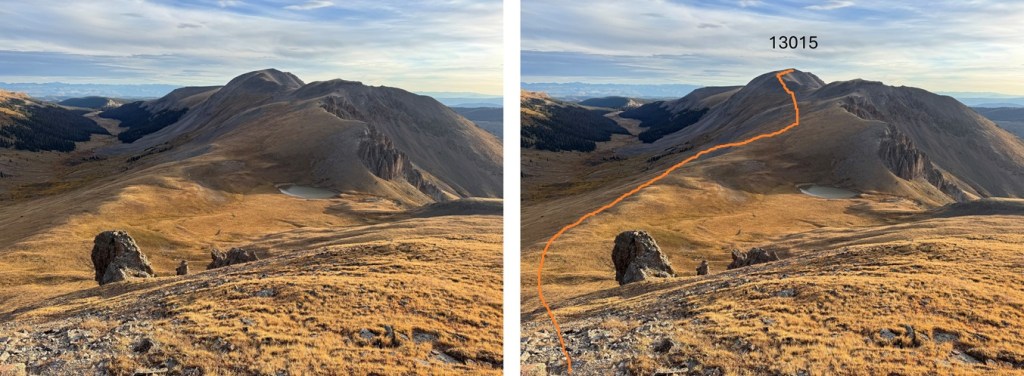
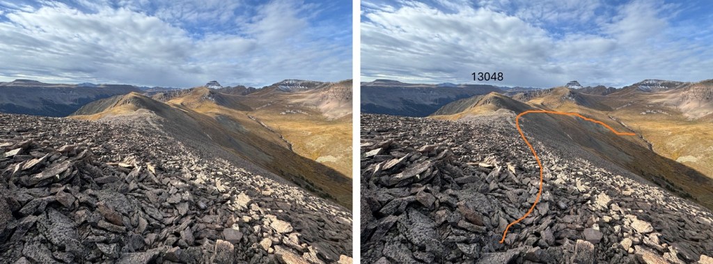
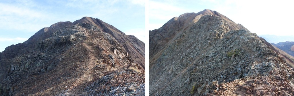
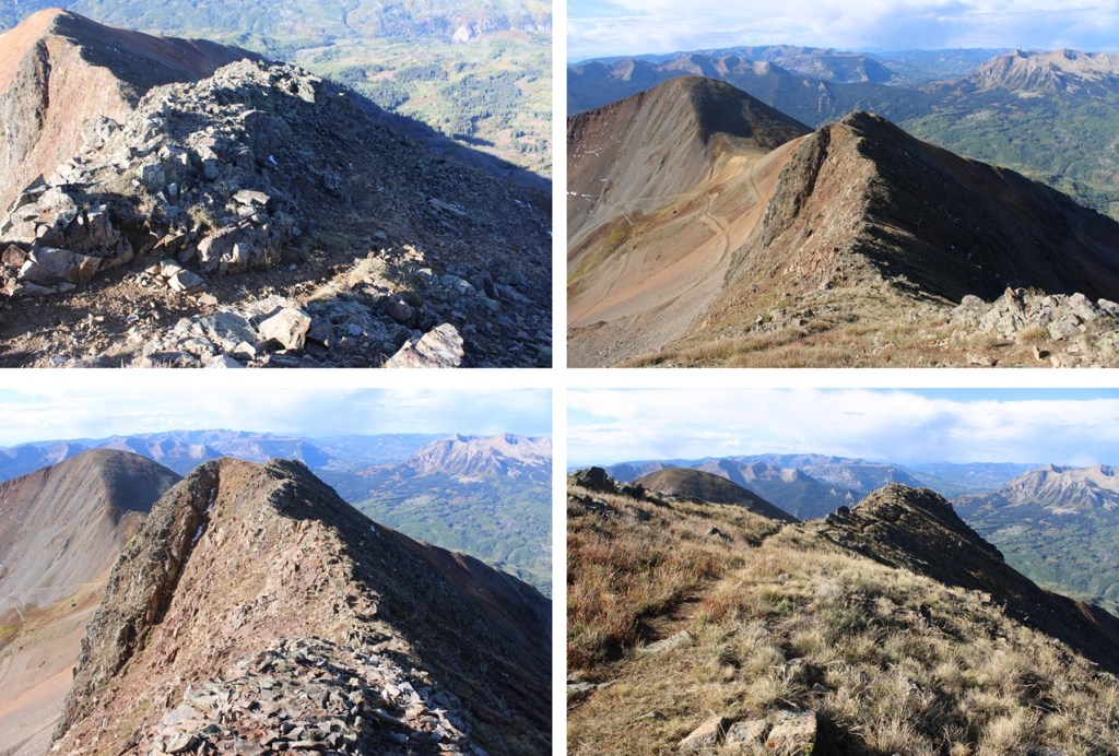
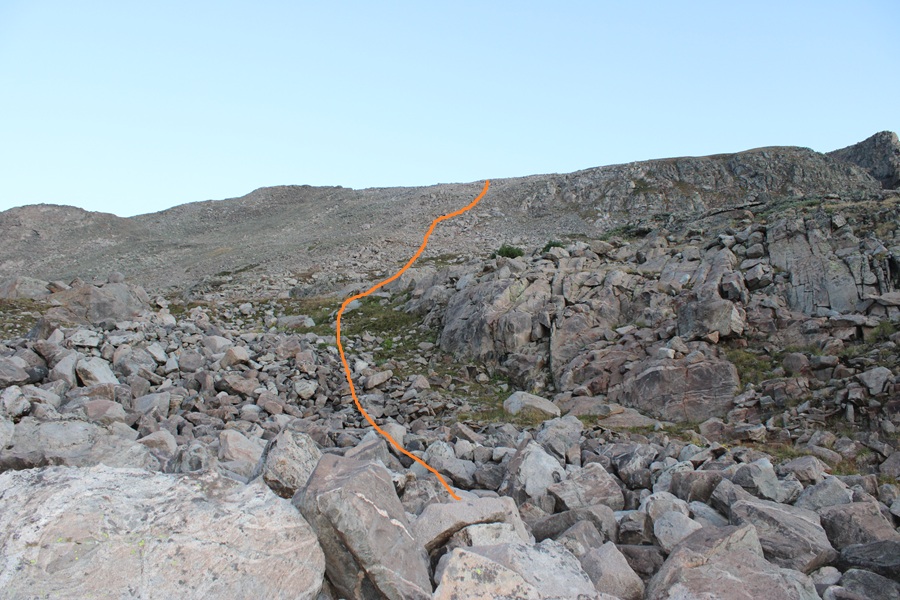
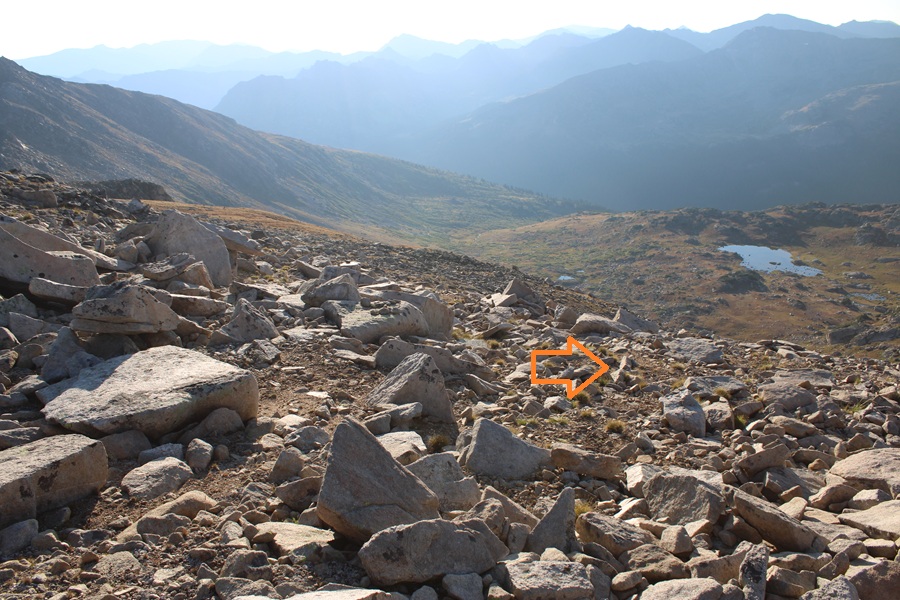
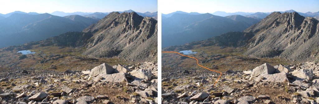
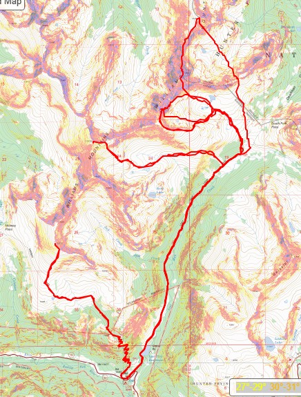
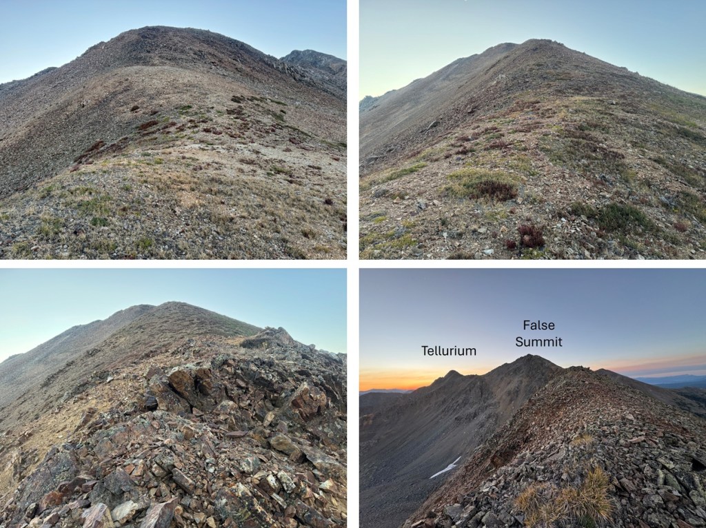
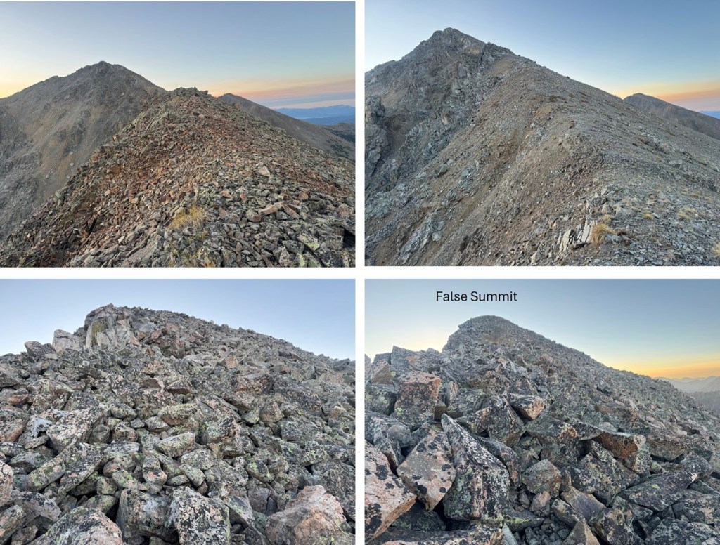
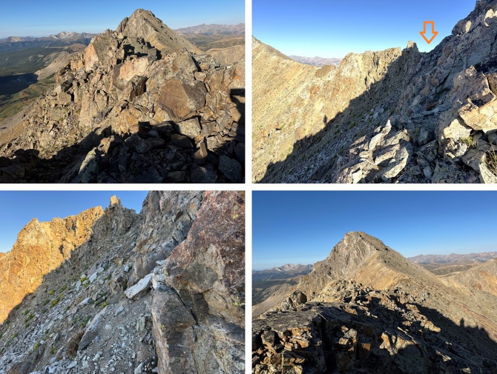
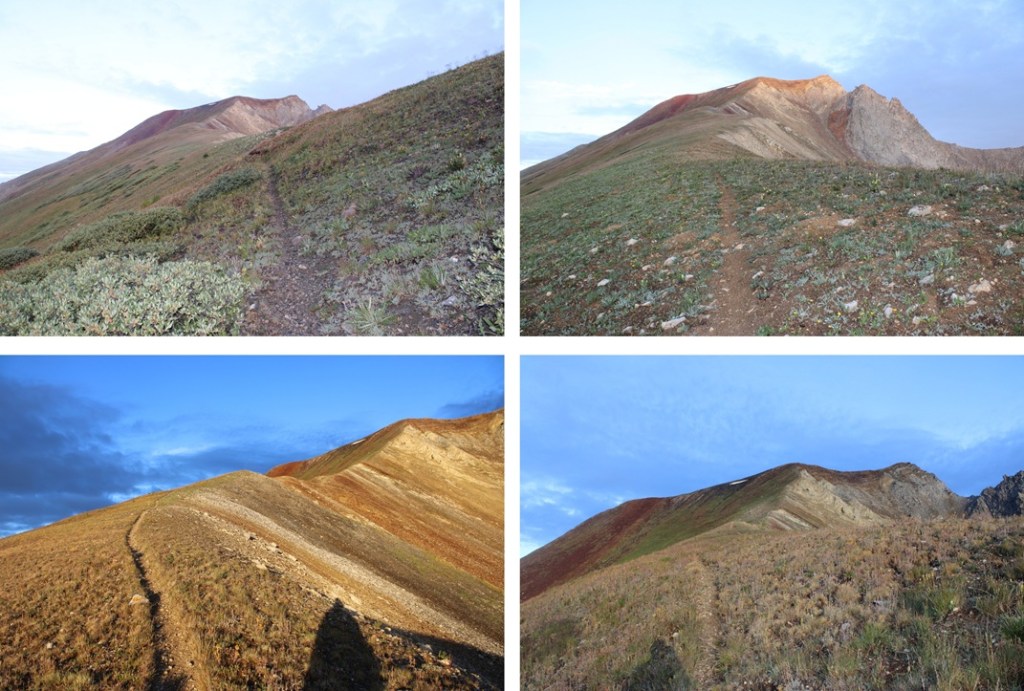
The class 3 section is the entire remainder of the ridge and starts immediately. However, in most sections it looks worse than it is. I was able to follow the ridge proper at class 3 with exposure. There weren’t any cairns here to guide the way so I set some up in the more difficult route-finding spots. Here’s the overall route I took:

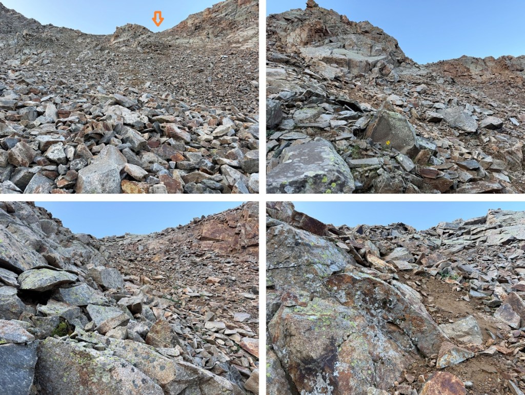
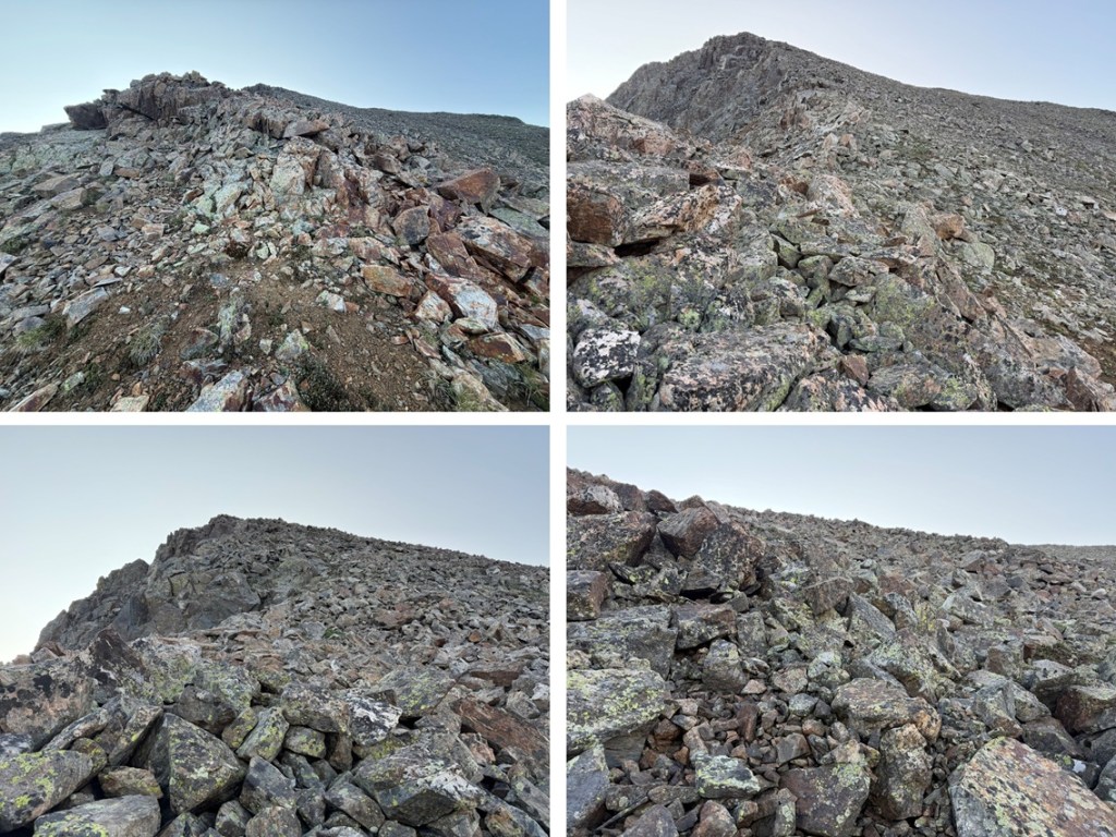
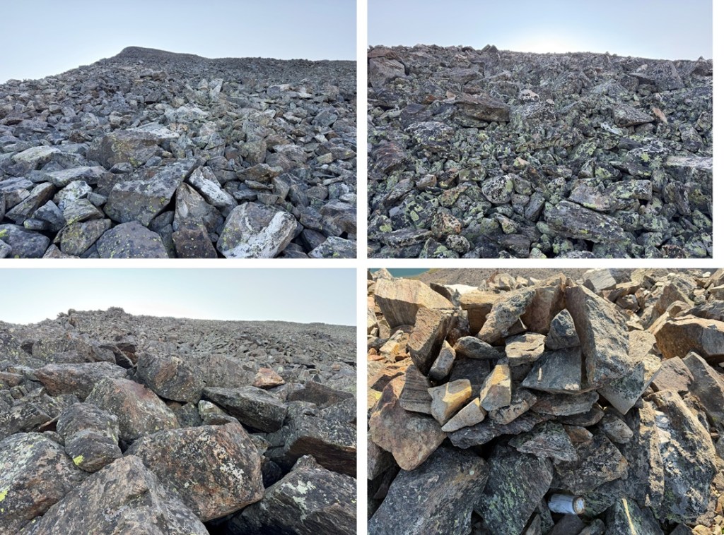
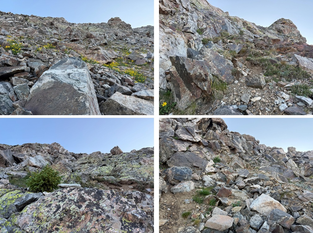
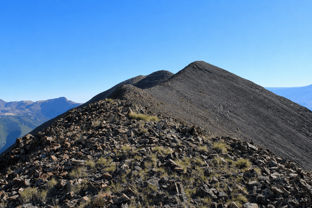
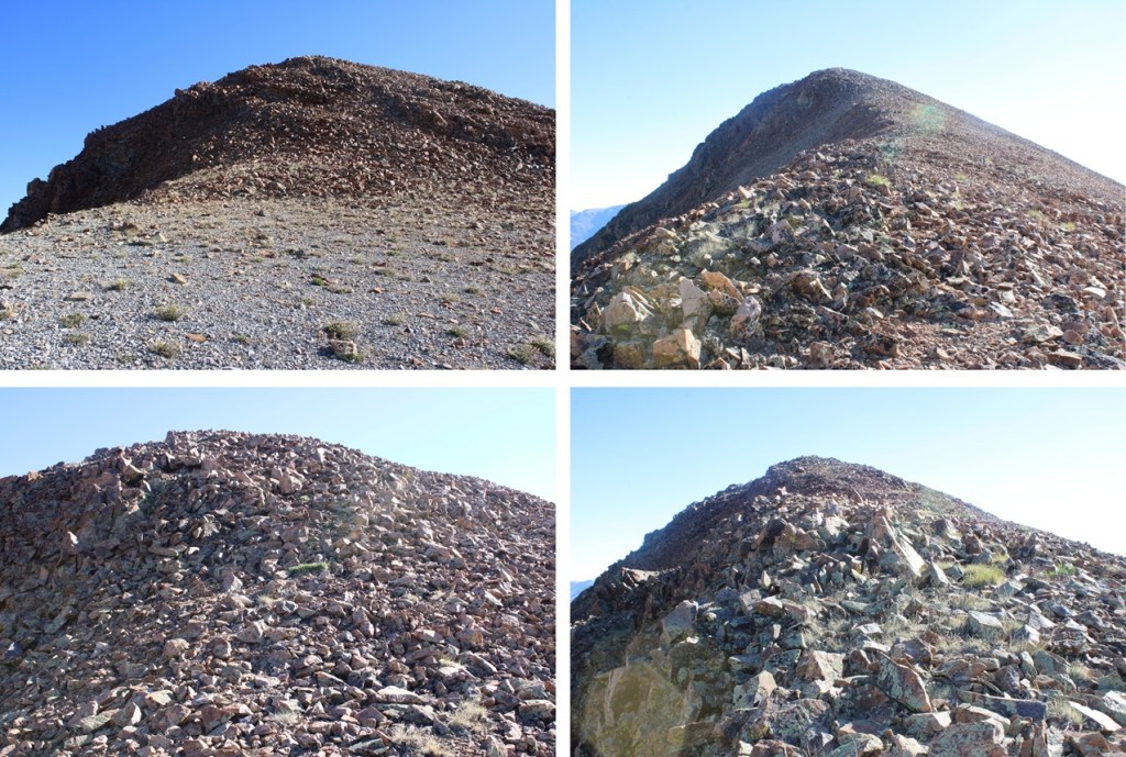
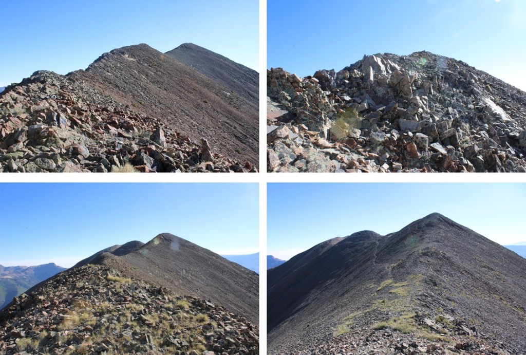
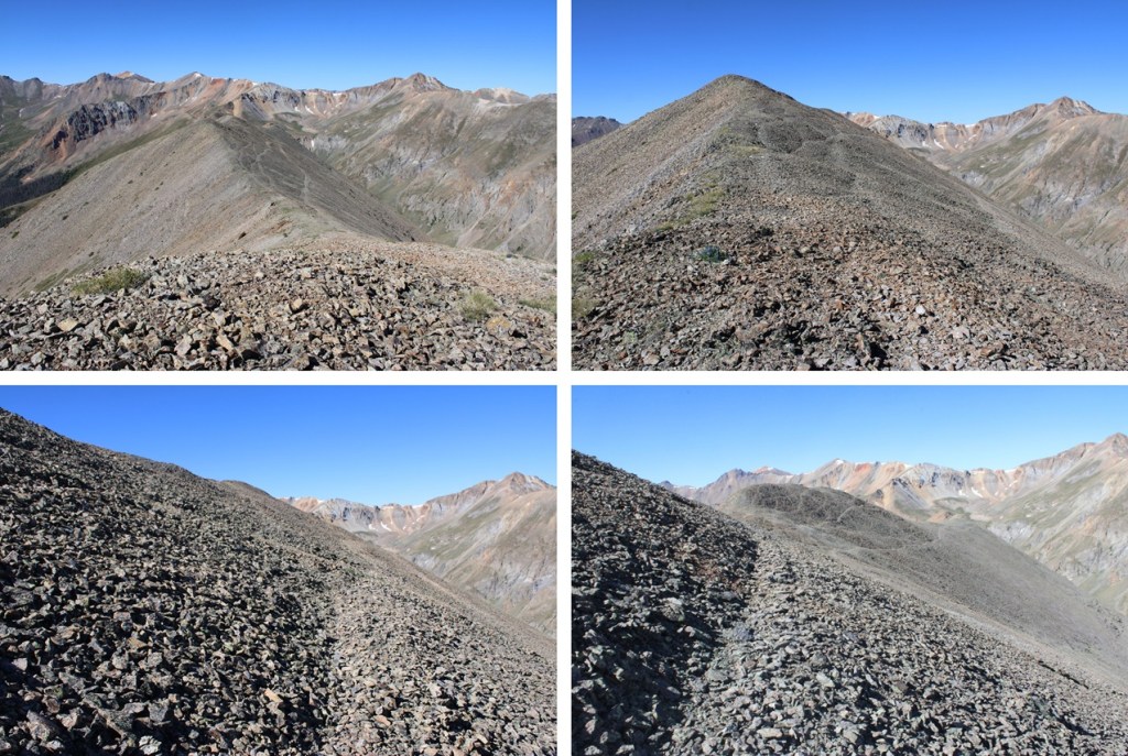
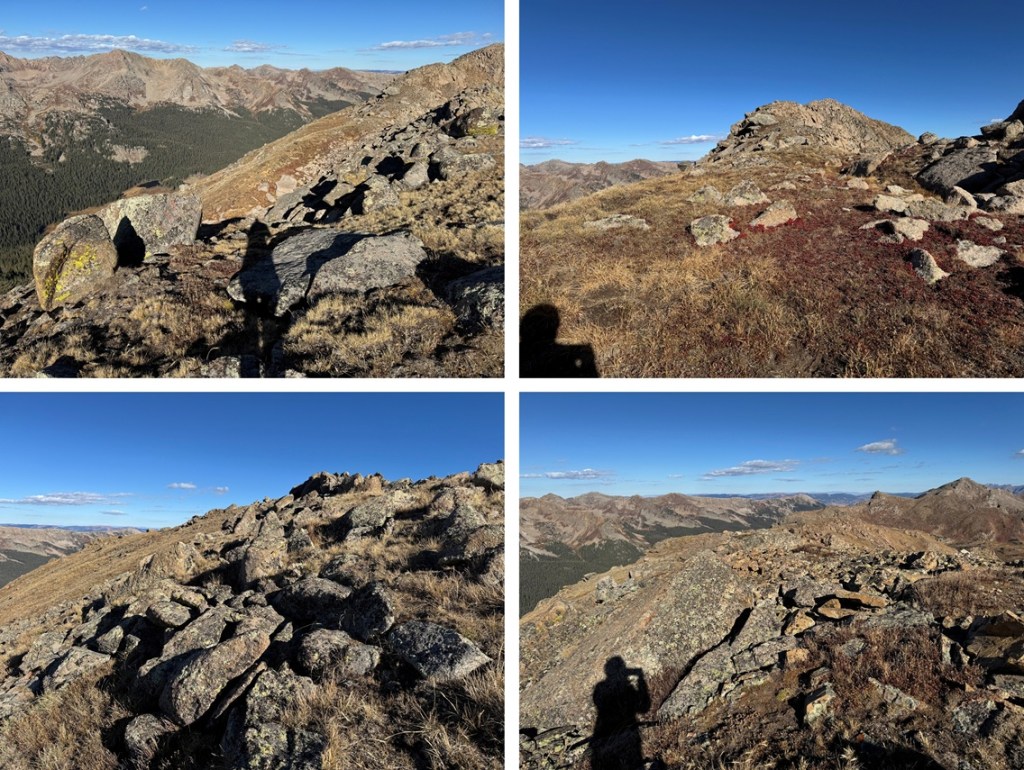
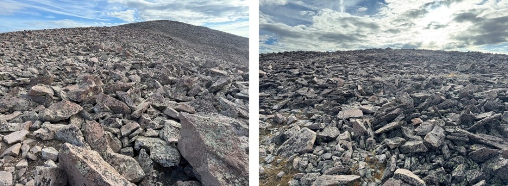
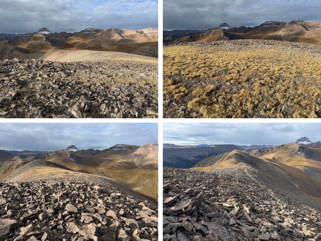
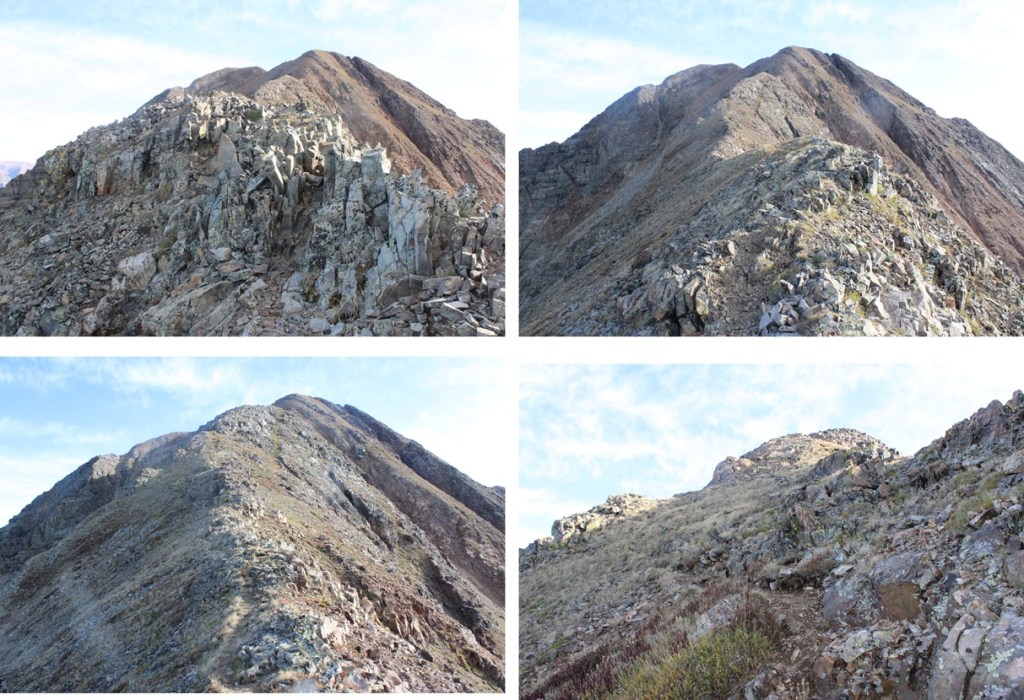
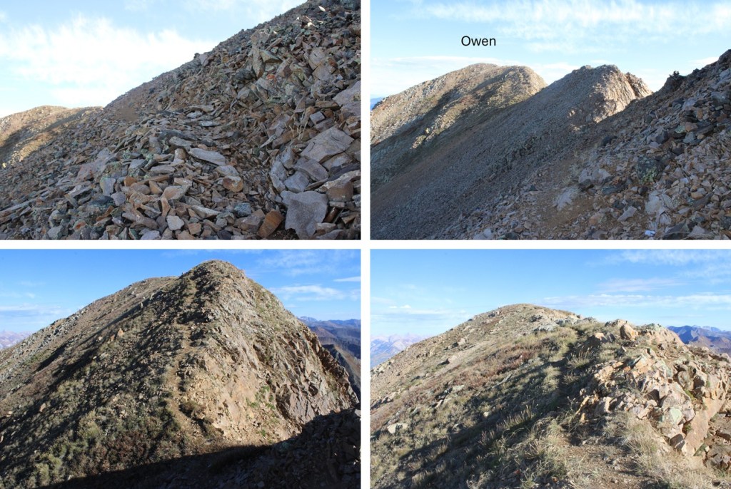
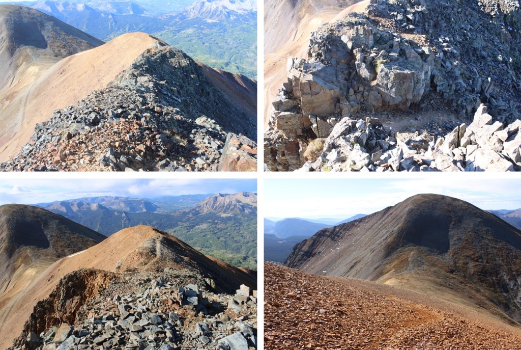
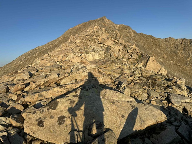
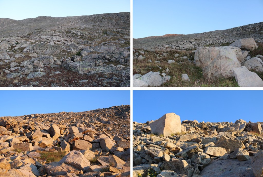
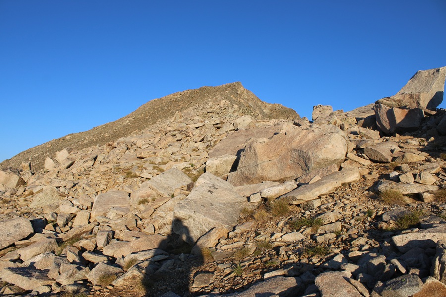
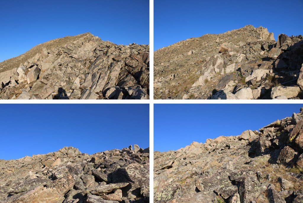
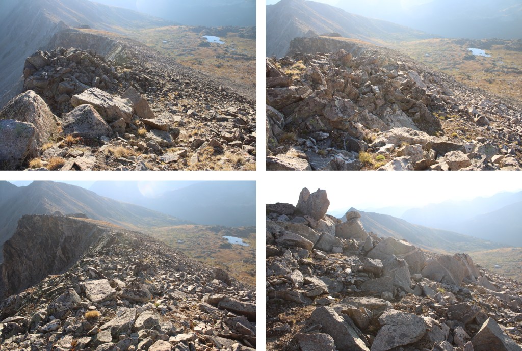
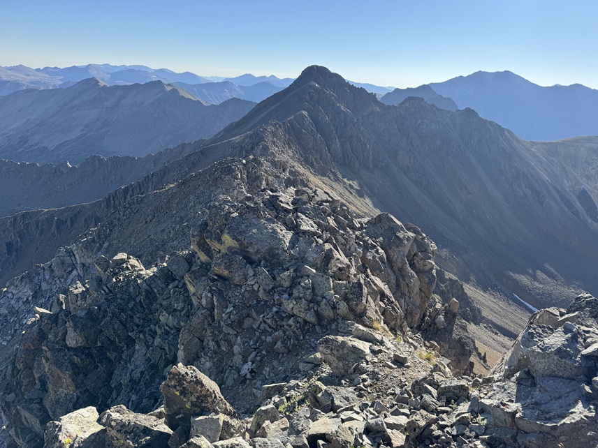
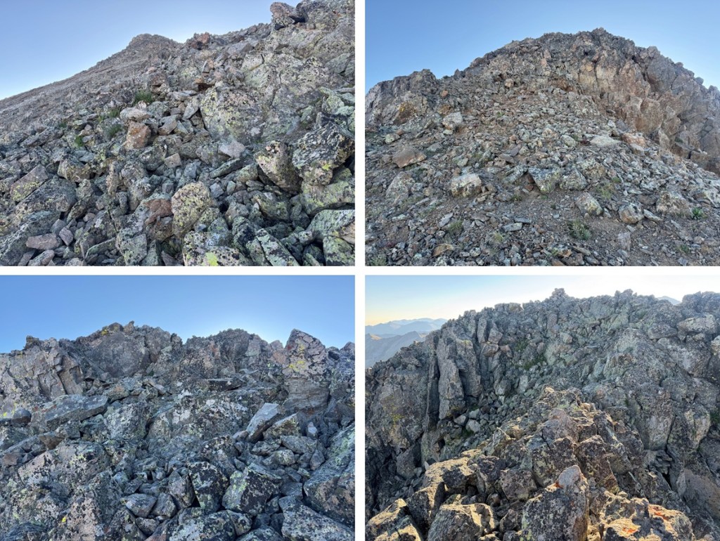
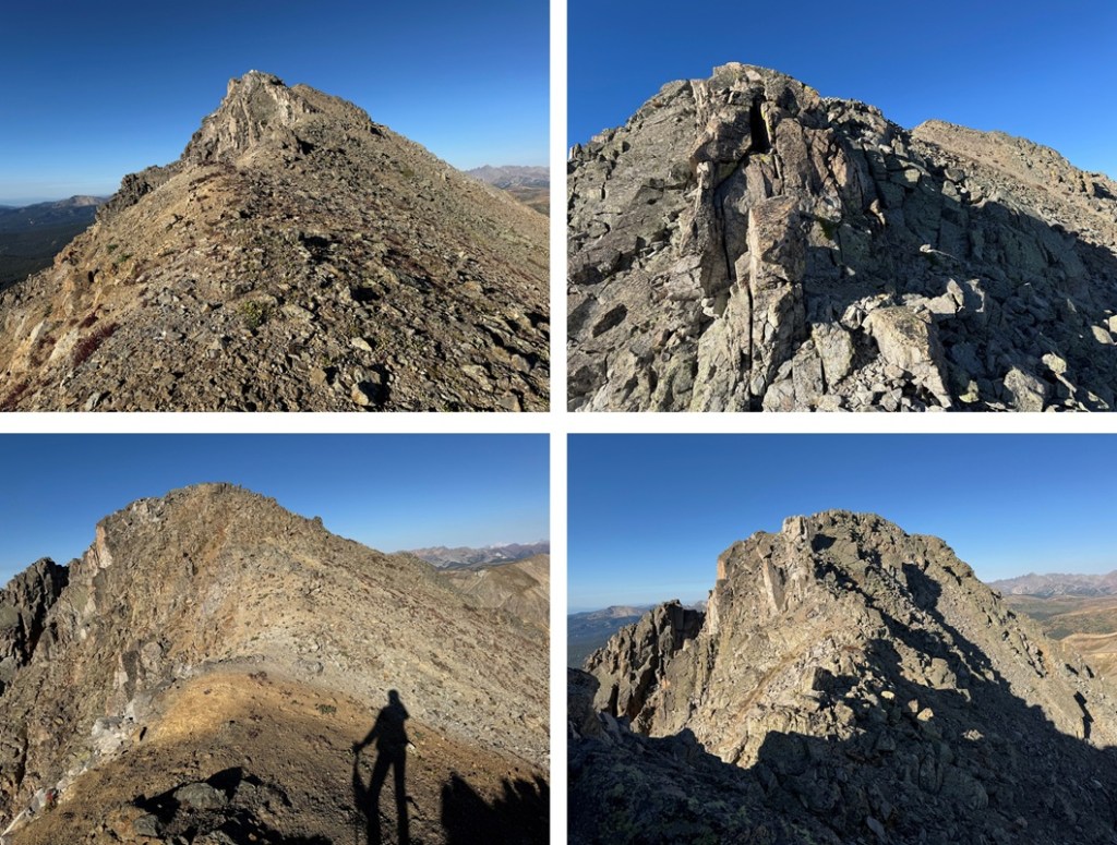
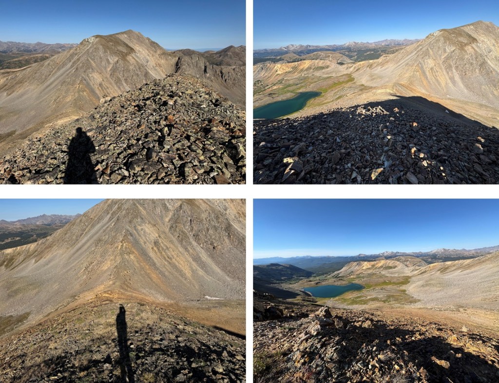
Here are some pictures of the ridge to Storm Peak. All of the rocks were loose and unstable, with a lot of kitty litter and scree thrown in. The moves just get more challenging as I went, with the crux at the end. Be sure to make sure of your hand and foot holds and that the rock is solid (not much is) before committing to a move.


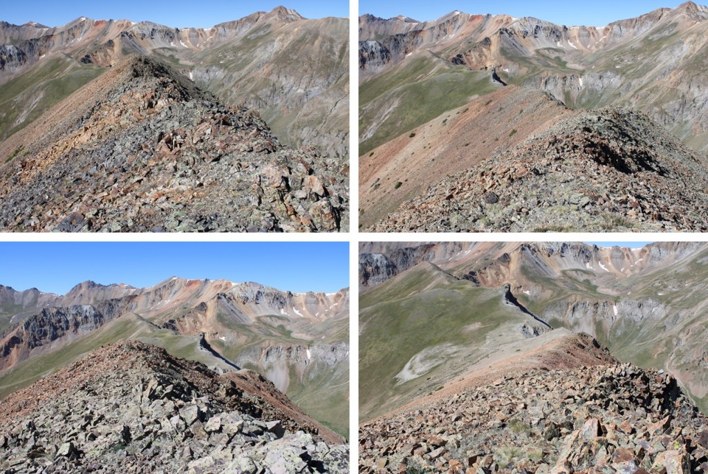
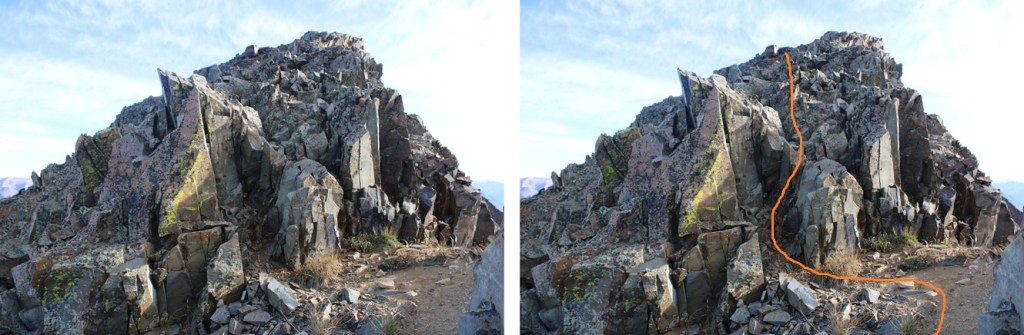
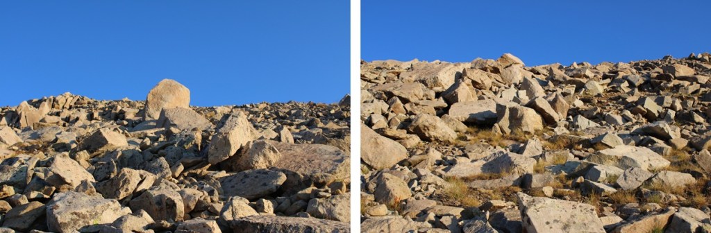
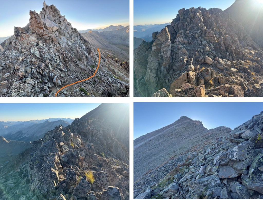
Here’s where I felt the crux of the route was, just before the summit. It looks worse than it is, even from below. It all looked tricky so put up several cairns so I’d remember the way back down.

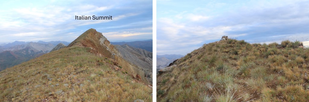
Once up this chimney it was an easy walk to the summit

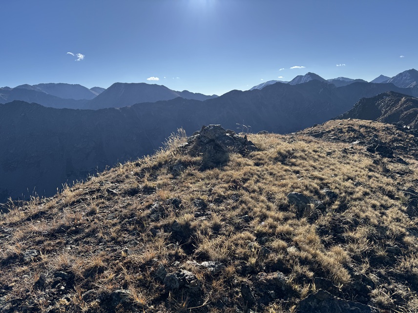
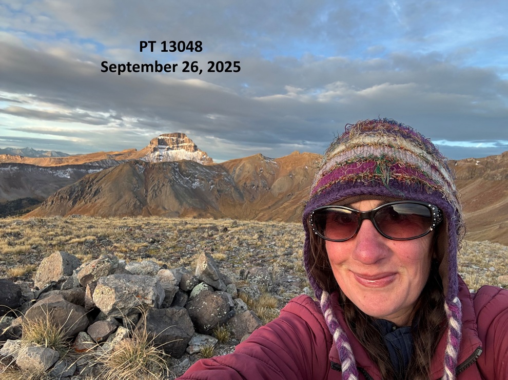
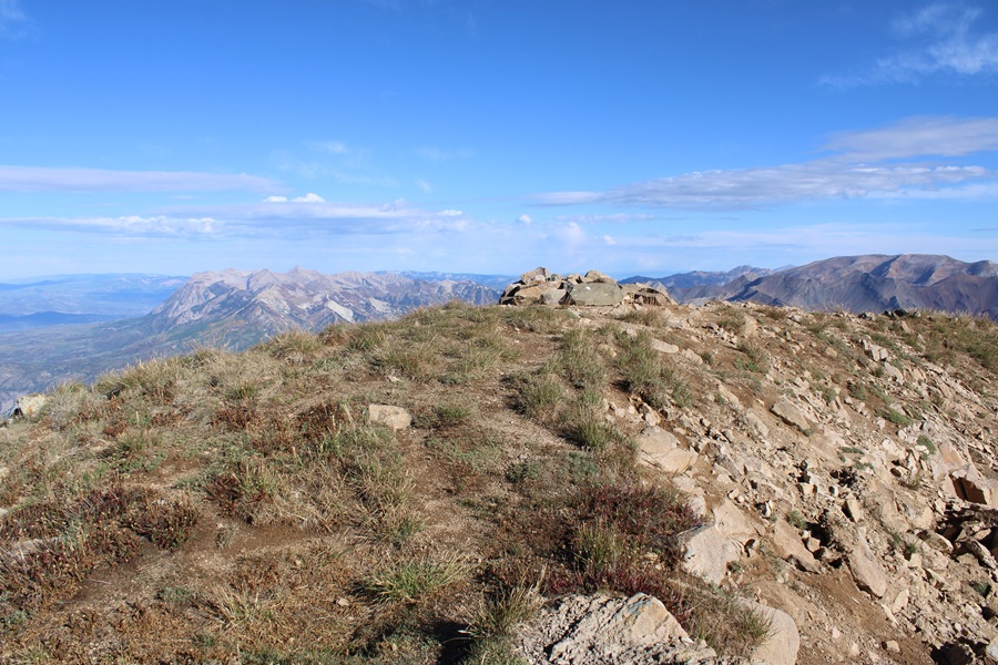
There wasn’t a summit register, but there was a small marker

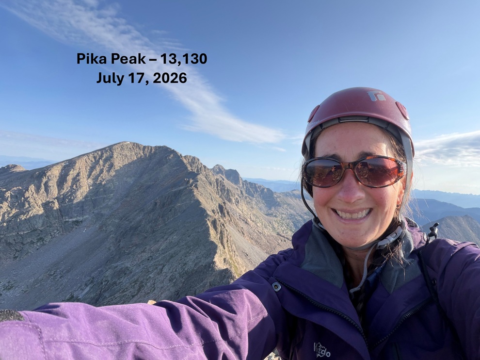
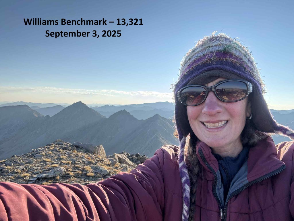
I summited Storm Peak at 9am

Storm Peak:
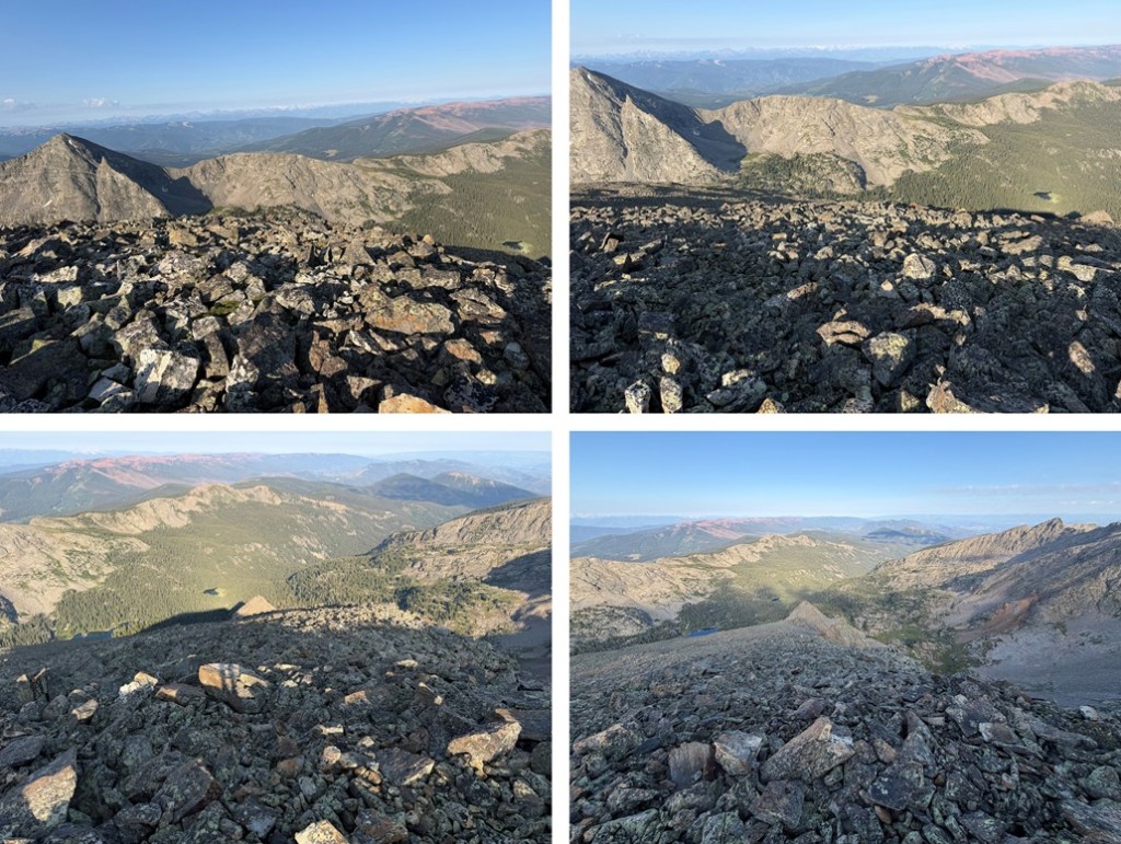
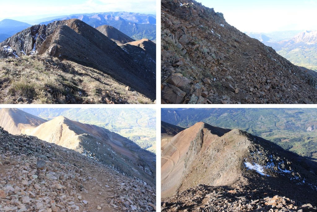
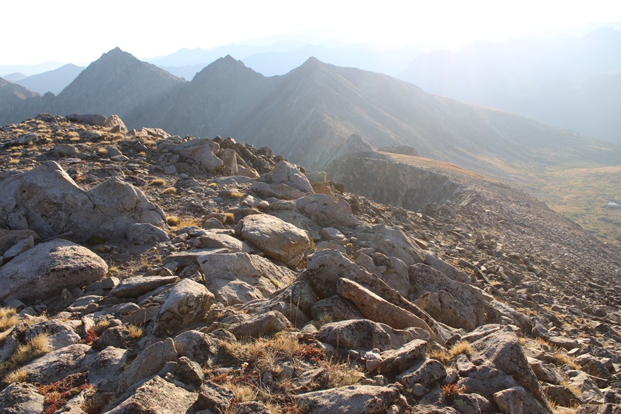
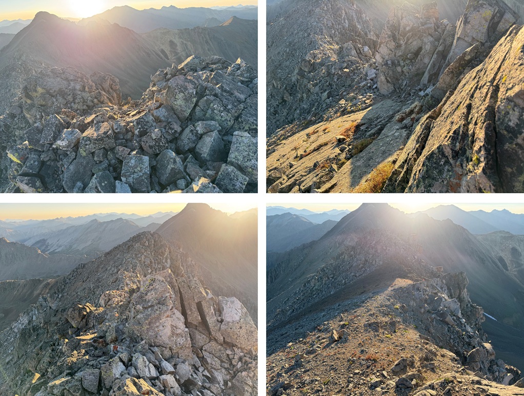
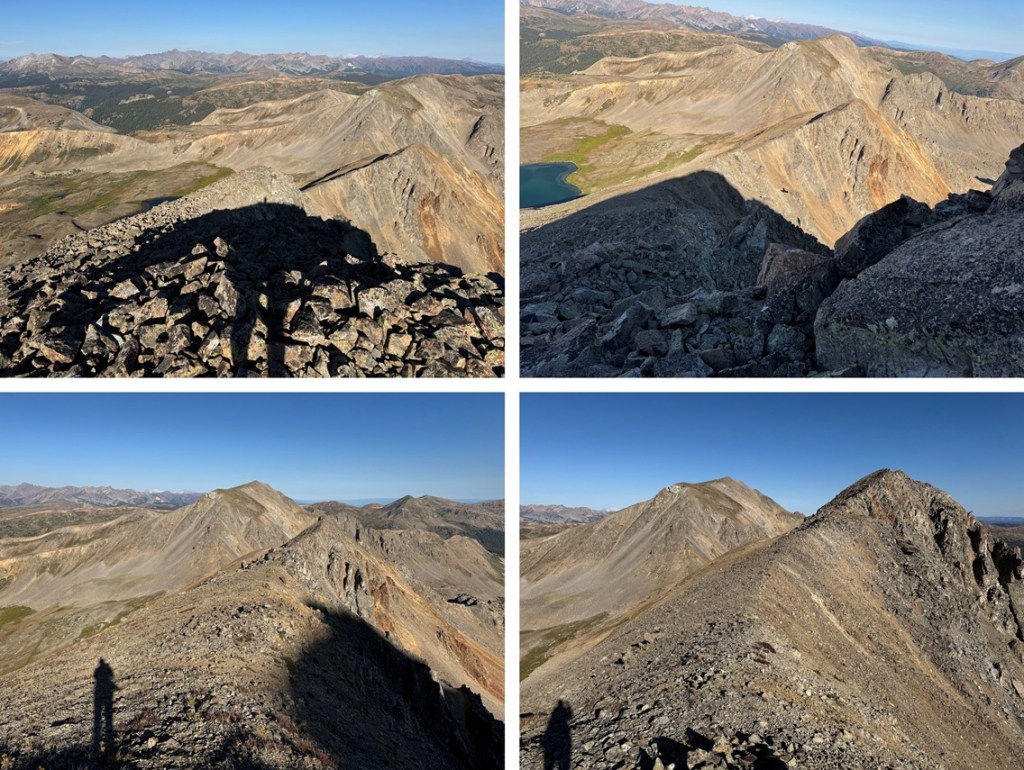
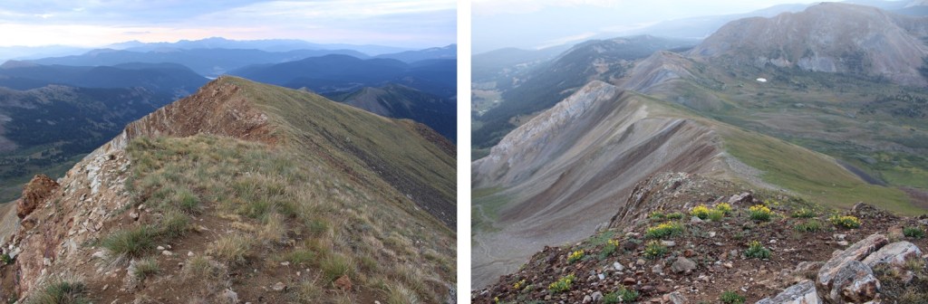
I had no aspirations to do the traverse over to East Storm Peak, so I turned around and headed back across the class 3 ridge, which doesn’t look too bad from the summit of Storm.

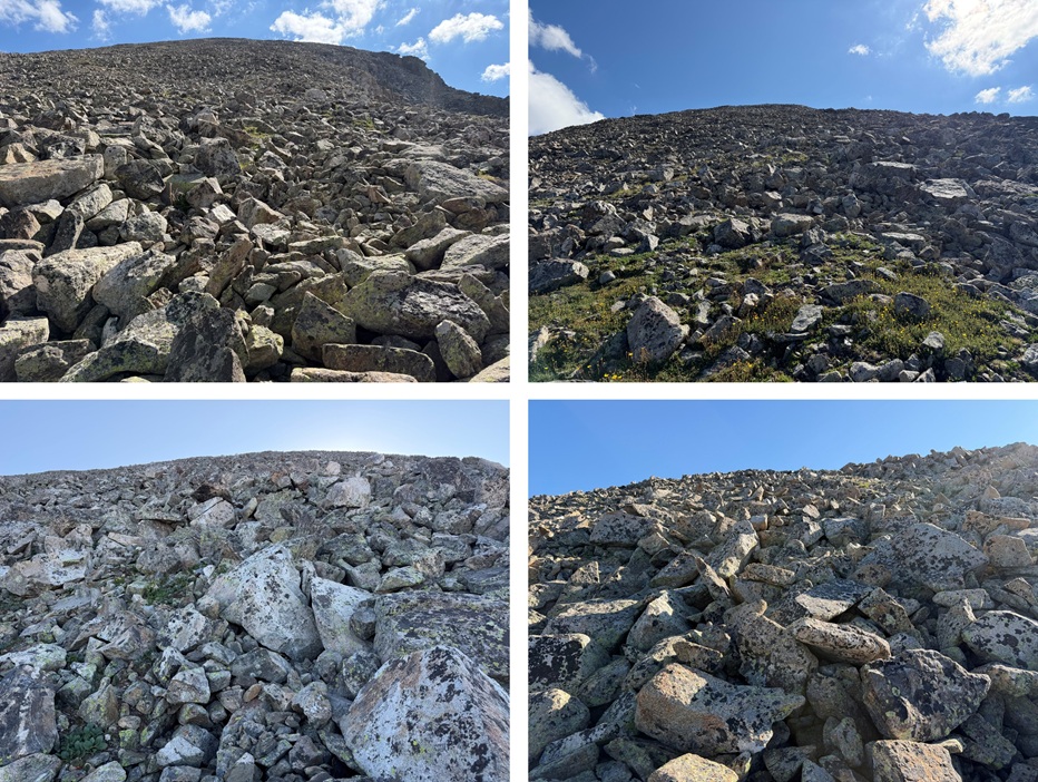
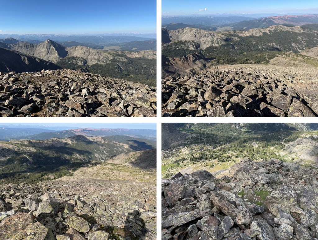
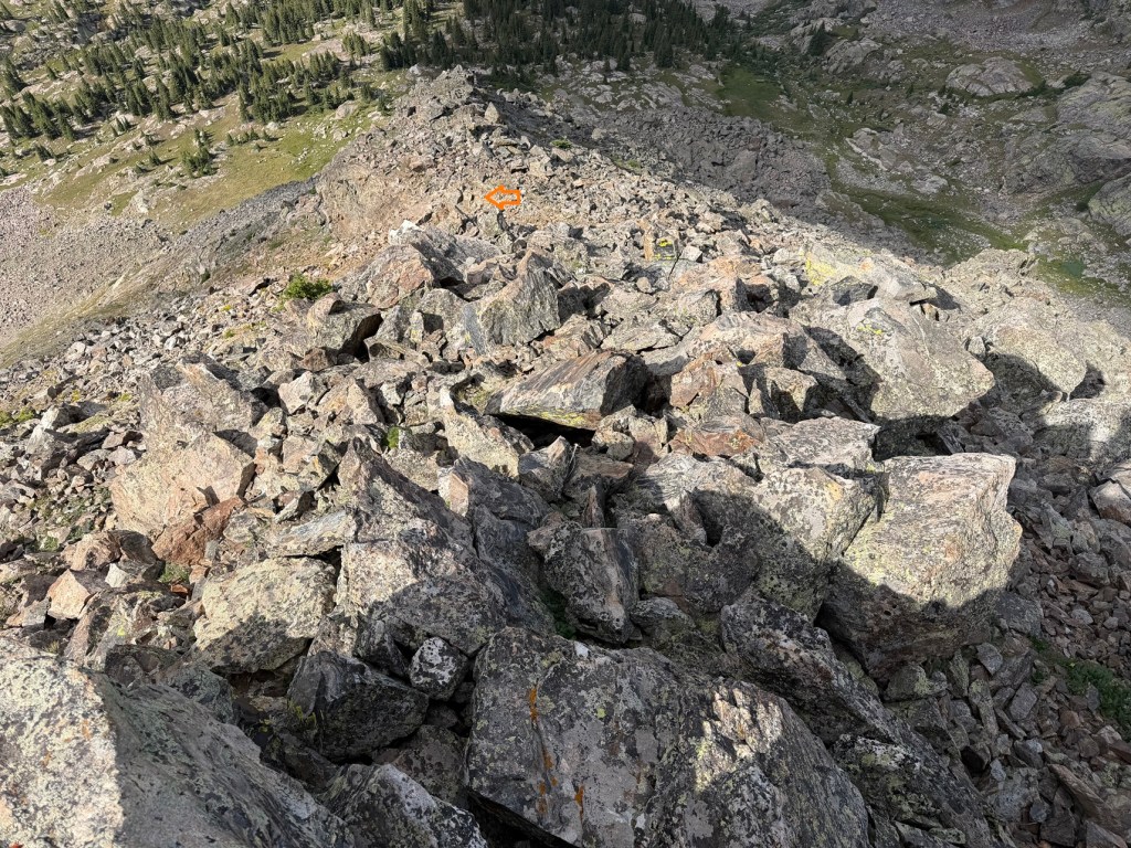
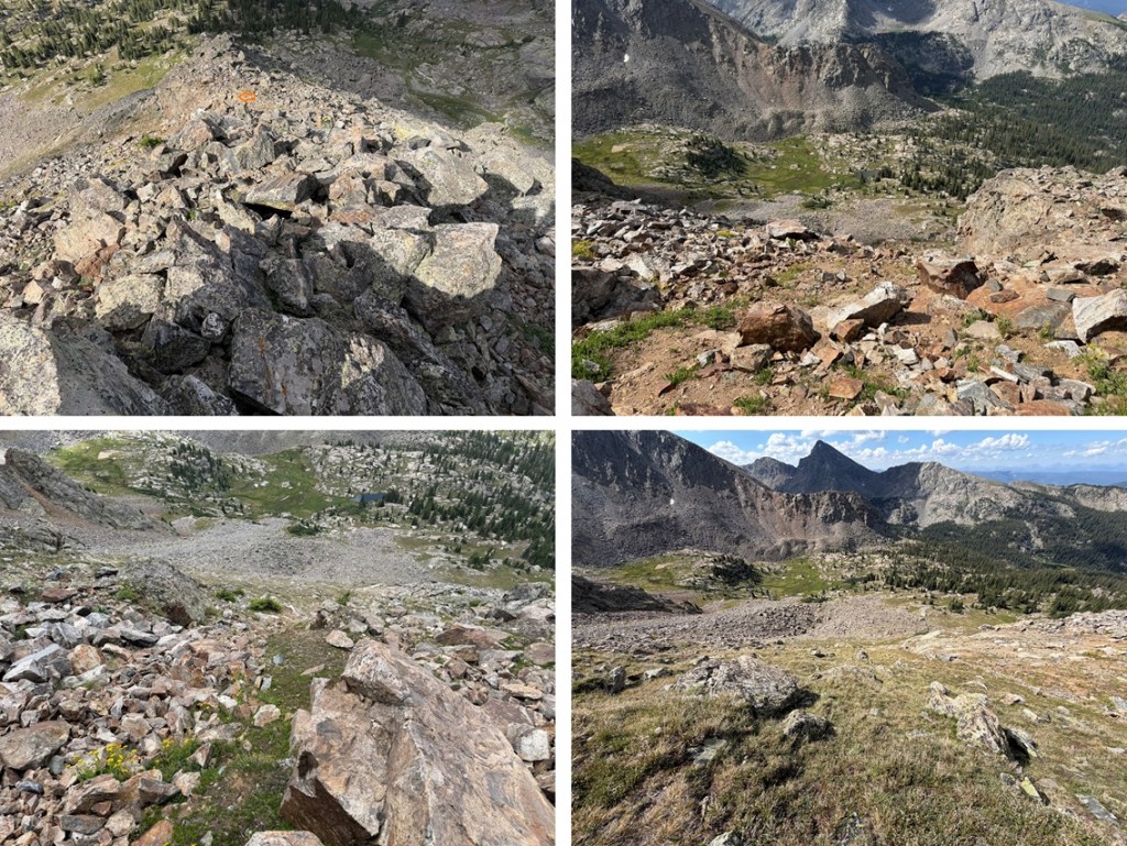
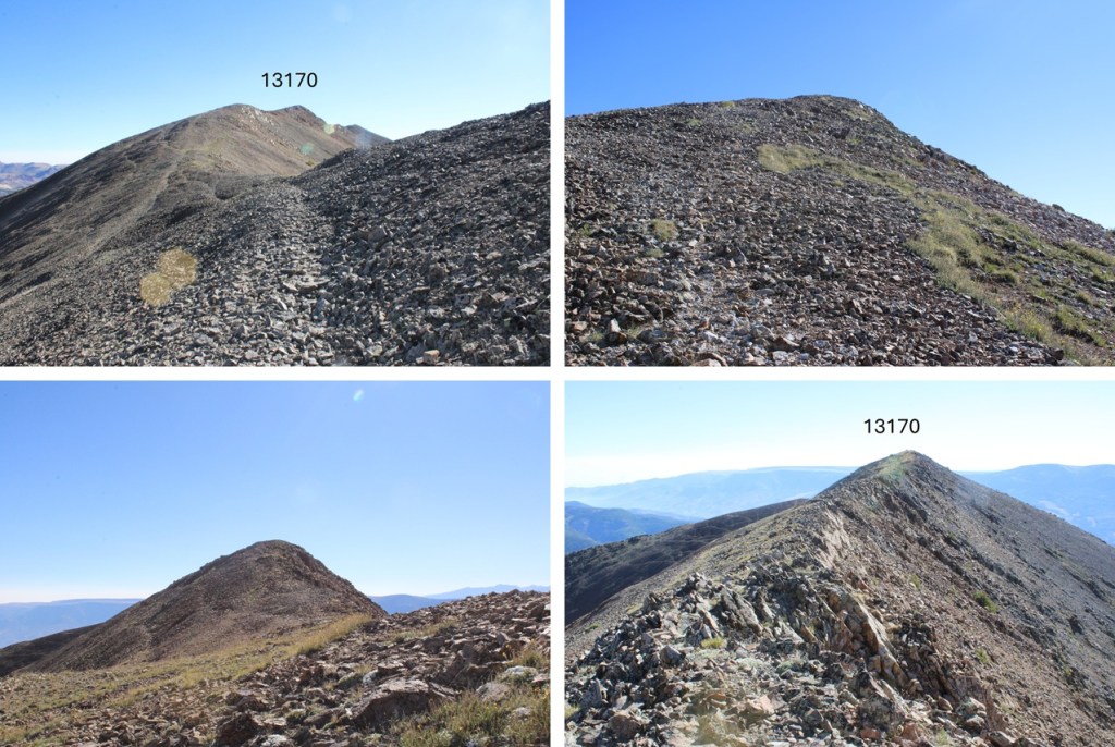
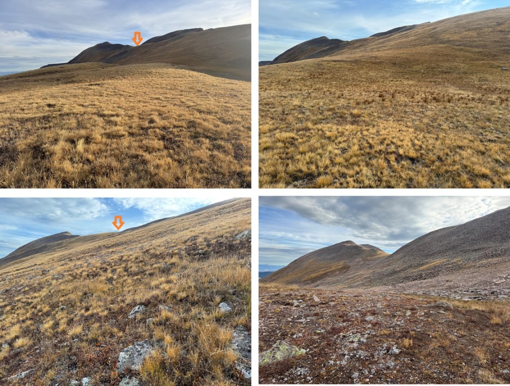
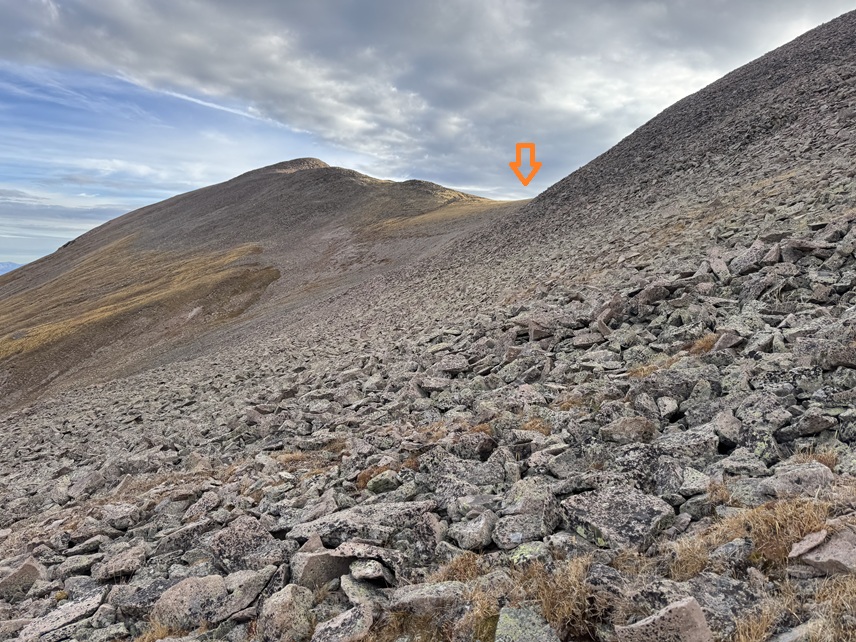
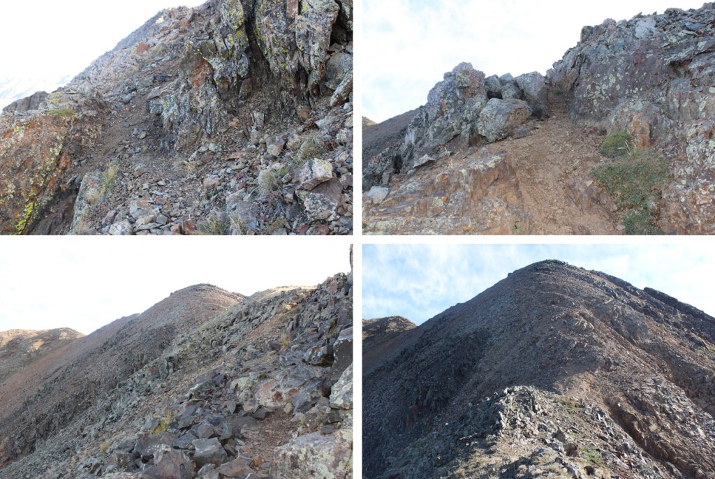
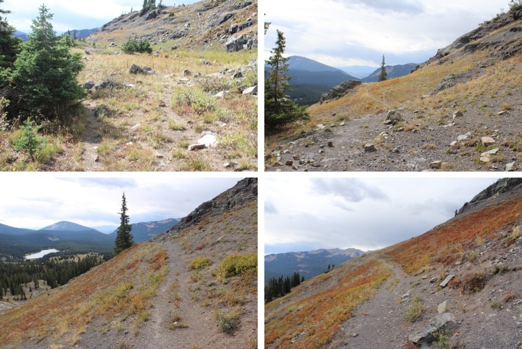
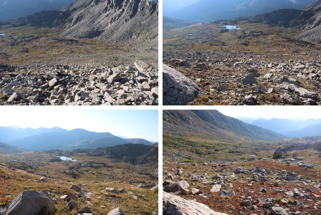
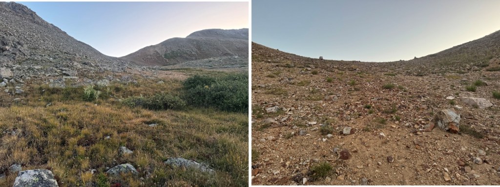
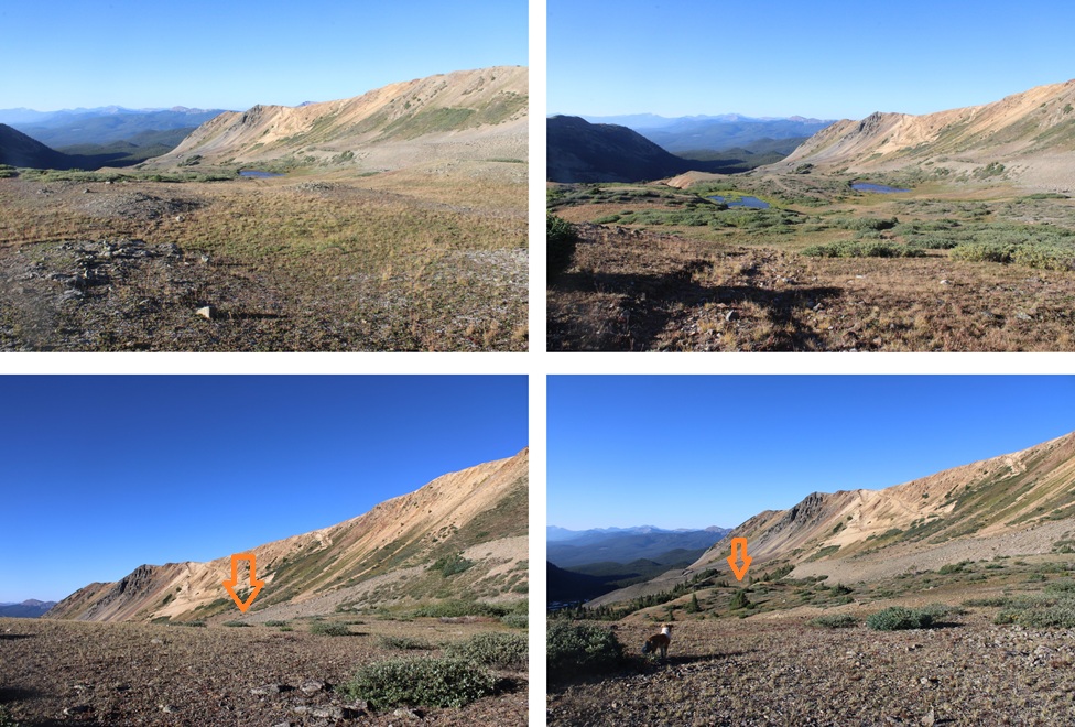
Here are some pictures of the way across back to the tundra.


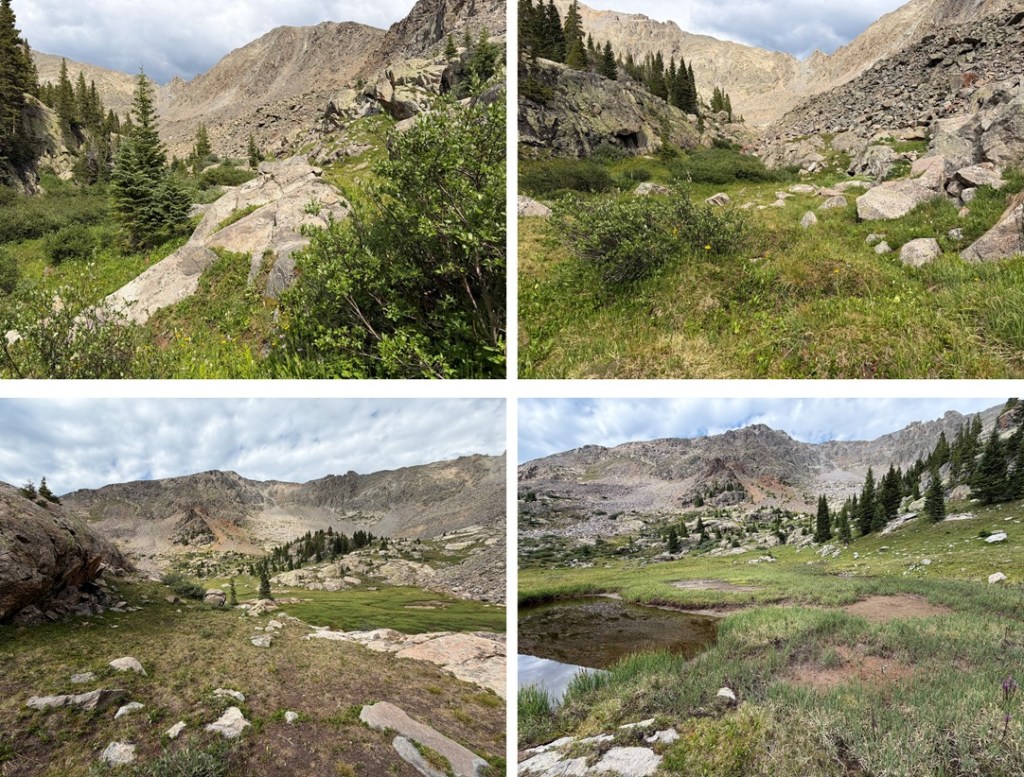
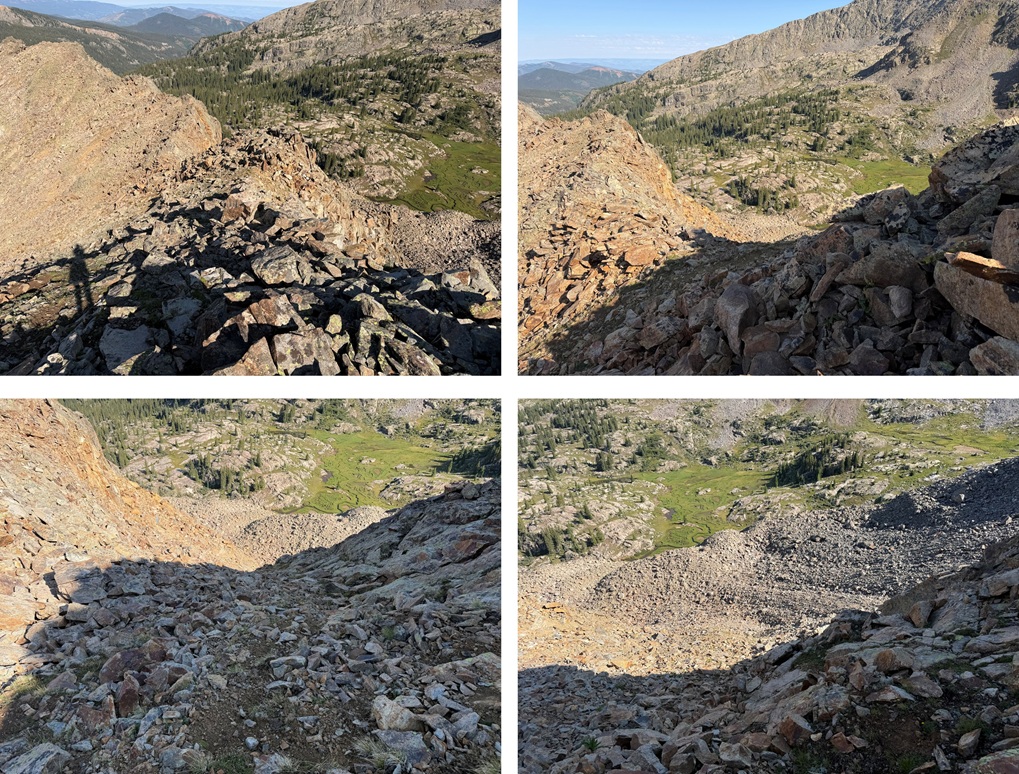
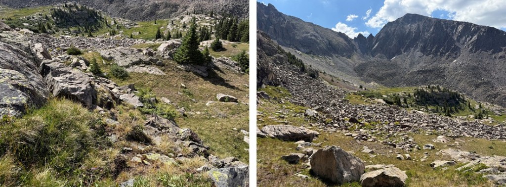
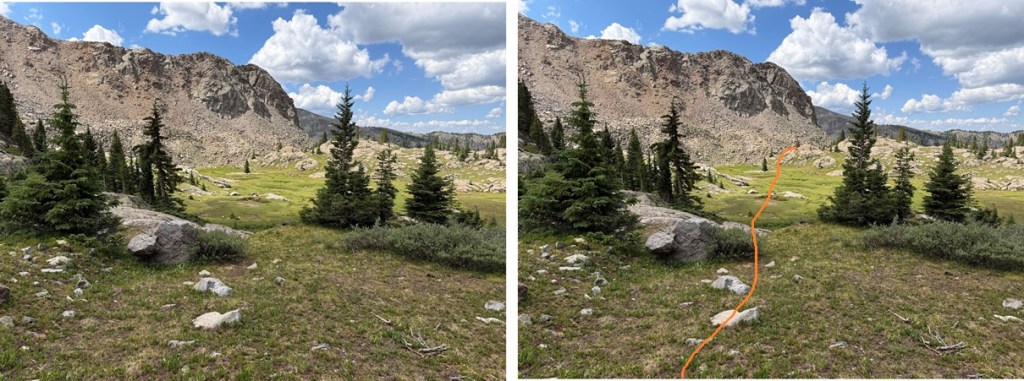
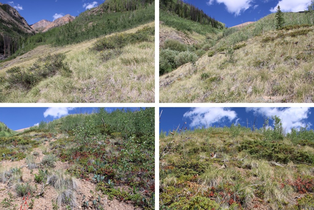
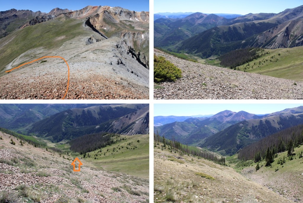
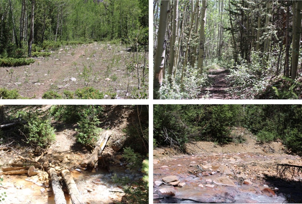
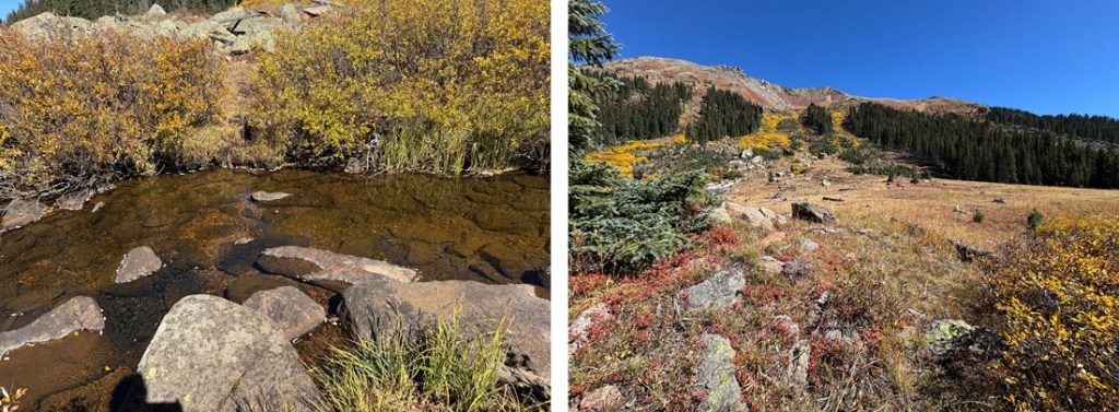
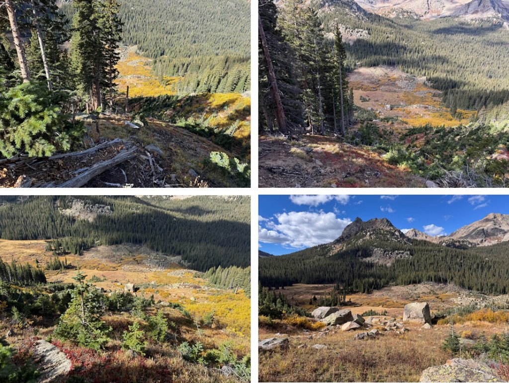
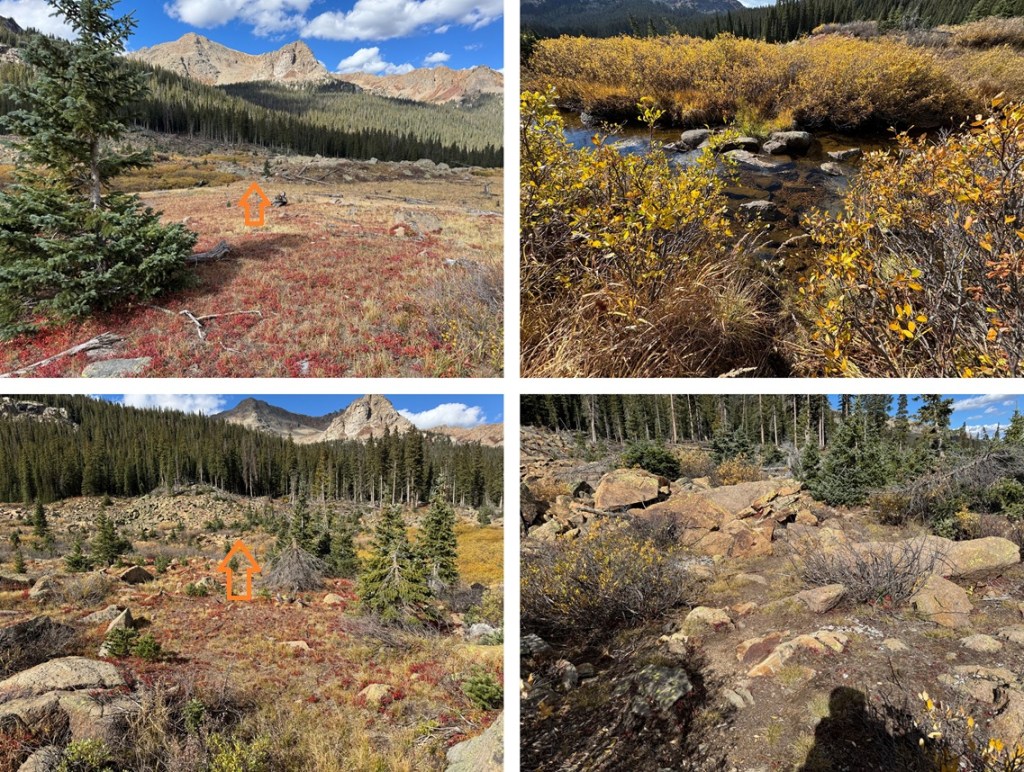
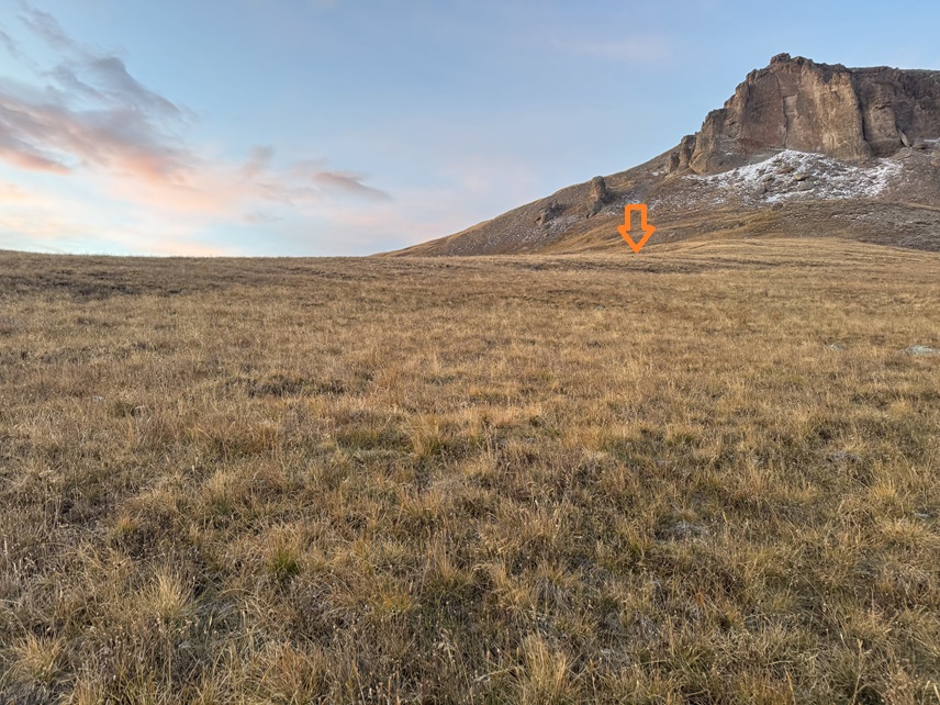
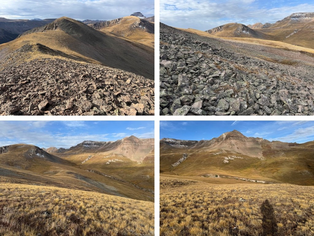
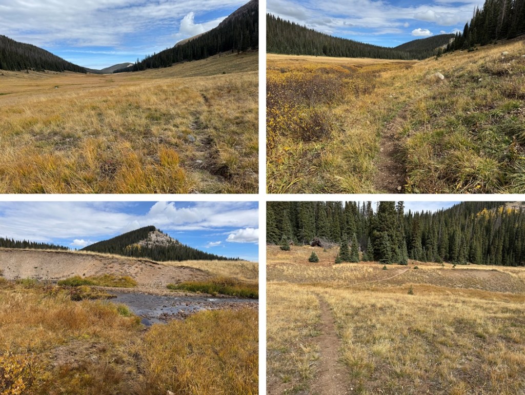
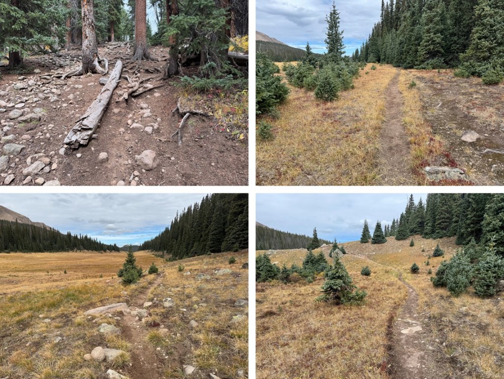
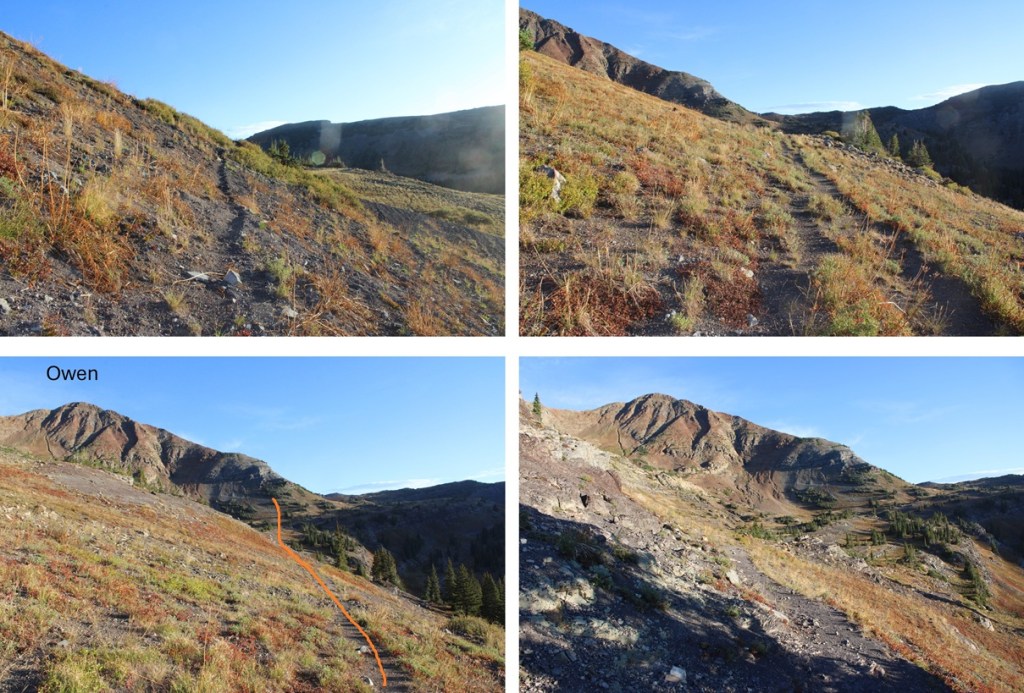
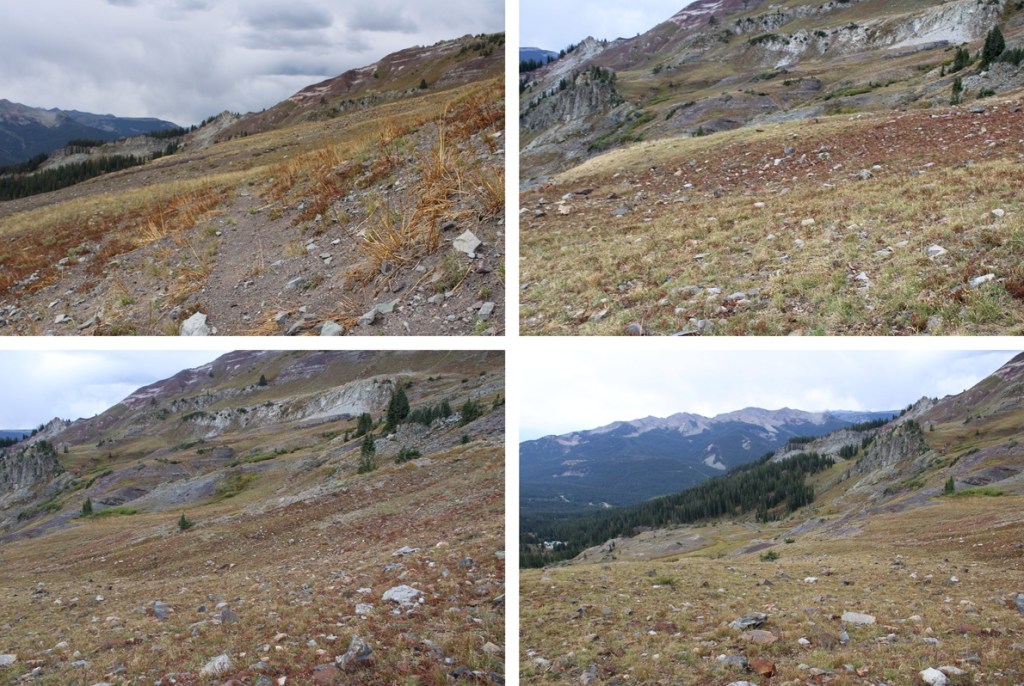
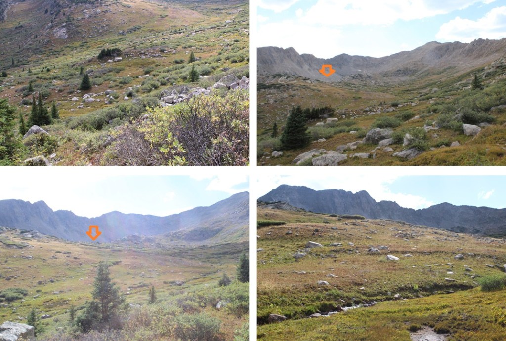
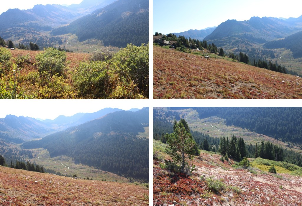
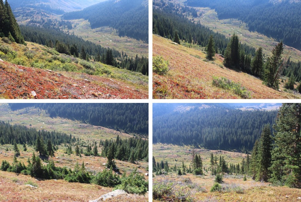
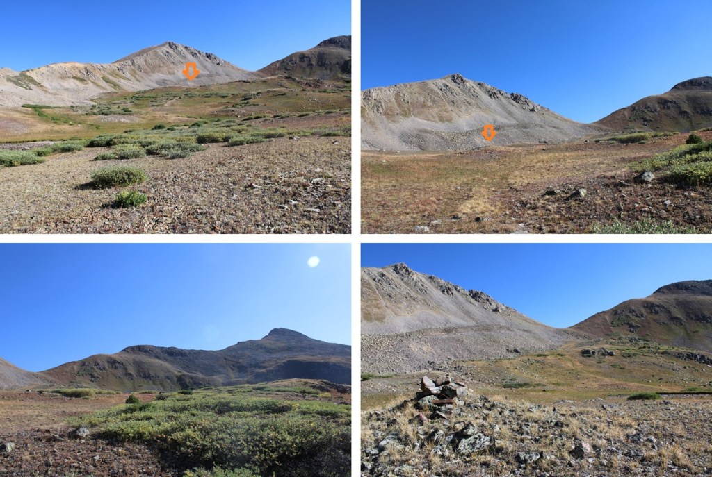
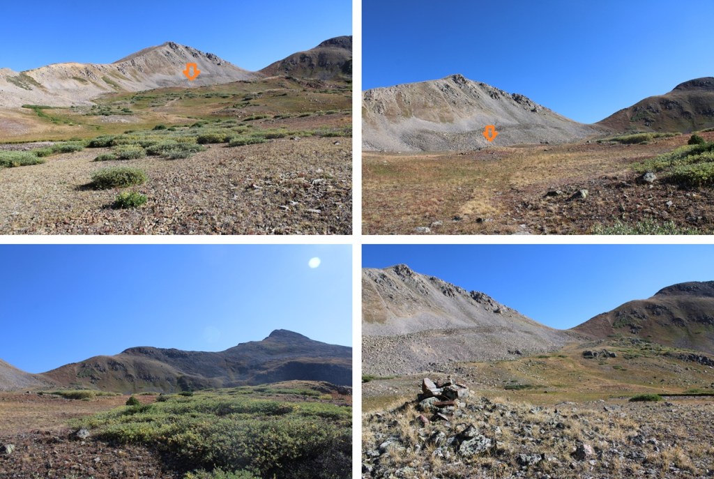
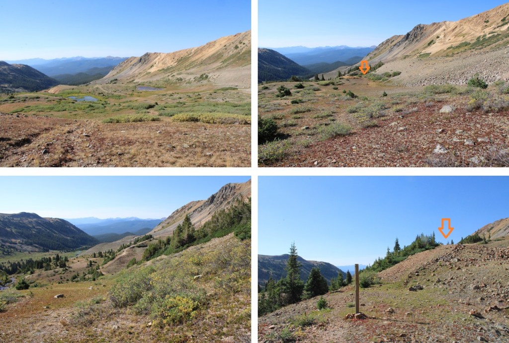
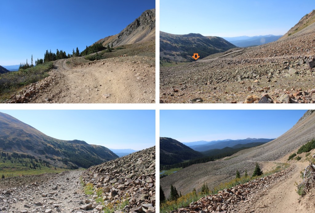
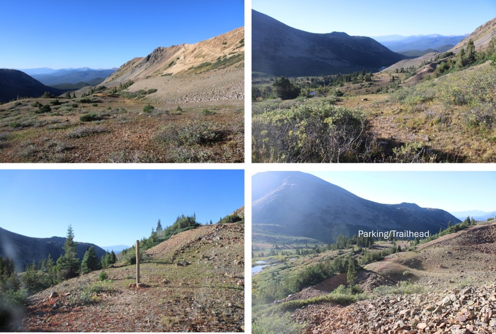
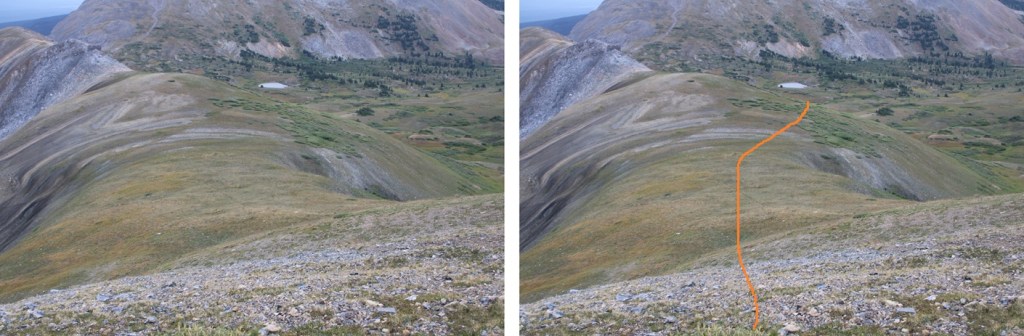
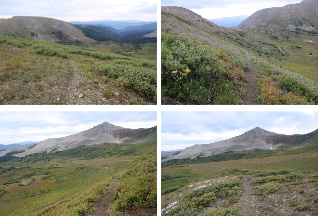
Once the class 3 section was done I was able to follow the tundra southwest back to my vehicle. Here are some visuals:


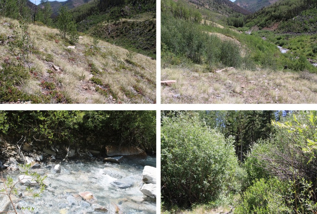
Once I could see the mines I could also see my truck and the road in the distance. I aimed for the road and navigated my best through the brush to get there.


I made it back to my truck at 11am, making this a 4.32 mile hike with 2191’ of elevation gain in 4 hours.


On to the next trailhead!