
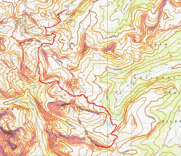
Route Length: 13.85 miles
Elevation Gain: 3207’
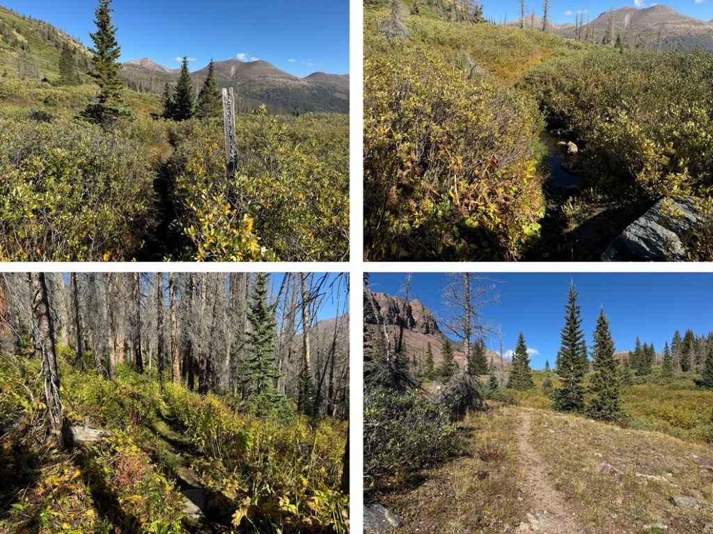
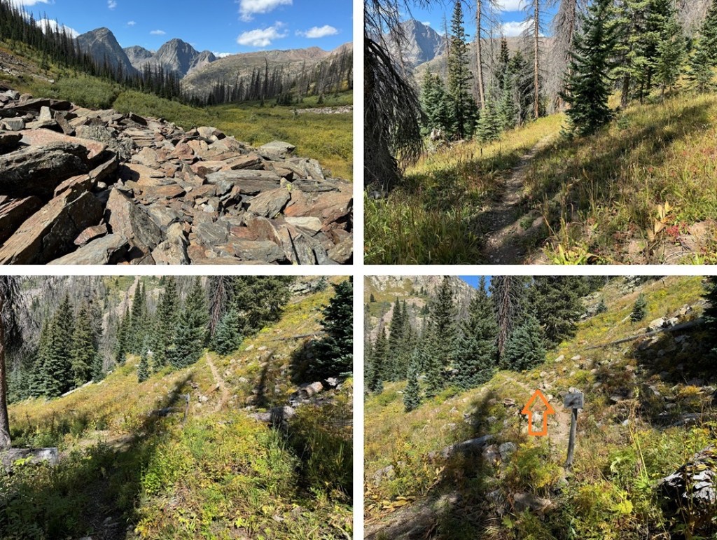
To see the approach, view my previous post of Mt Nebo from Beartown, as this was the second day of my trip. Or, if you’re only doing this peak, the hike in from Beartown to the Nebo Creek Trail is easy to follow, and described on my descent.
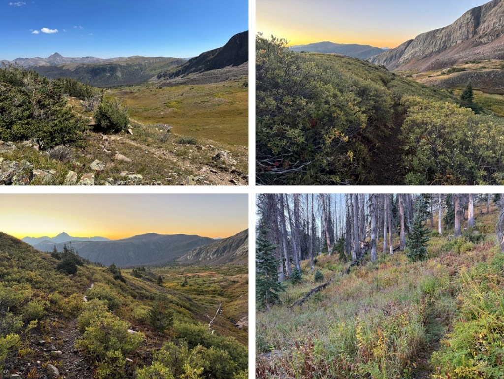
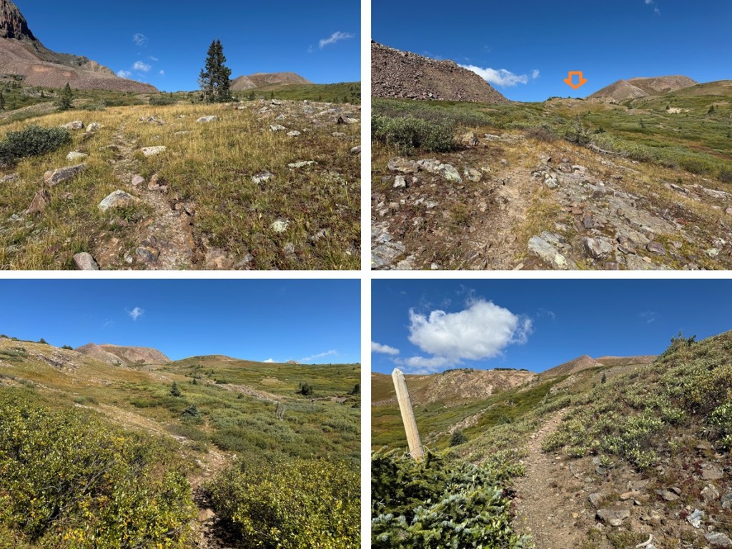
I was up and on the trail at 6:30am, startling a small herd of elk as I opened up my tent. I continued following the CDT east, down towards West Ute Lake. I lost about 700’ of elevation as I headed back down to treeline. This is an easy to follow, class 1 trail.

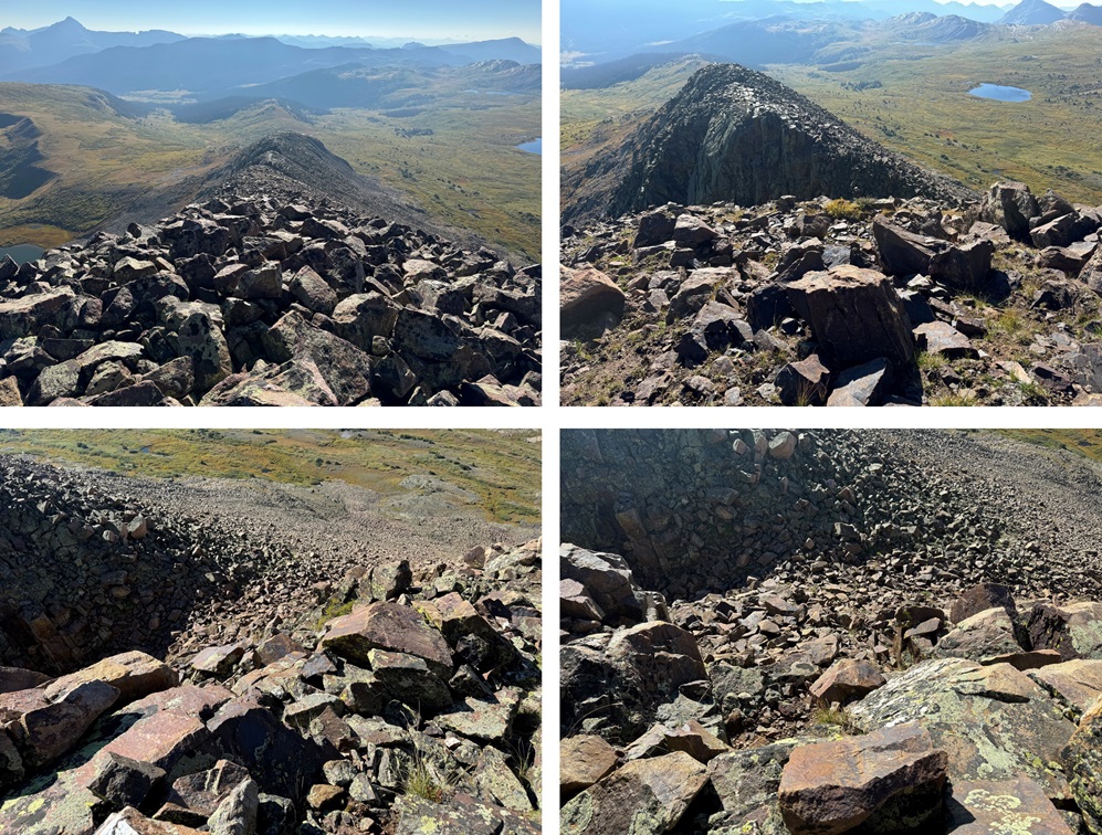
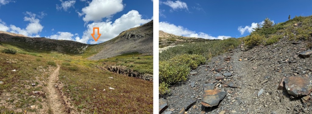
From West Ute Lake, I could see PT 13171, and I followed the trail up to the saddle. From this vantage point, you can see 3 notches in the ridge to the peak. The first notch is class 2, the second is class 3 or 4 (depending on the route you choose), and the third is class 2.

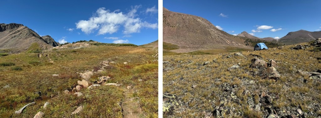
At around 12250’ of elevation I left the trail, and headed for the ridge, doing my best to avoid the willows. The route here is all class 2, and you can pretty much pick any line of tundra and it will get you to the ridge. This is the route I took:

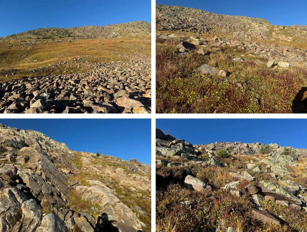
Once on the ridge, I turned right and followed it west. The ridge was rocky, but went at class 2 (except for the second notch). The first notch was an easy class 2 walkaround.

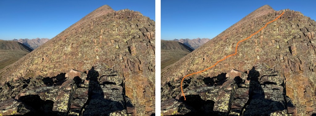
The second notch was an easy downclimb, then a choose your own adventure upclimb. I kept it class 3 by staying to the right of the white rock. The rock was solid, but there was also a lot of talus littering the solid rock. This is the route I took:
I made my way back to the ridge
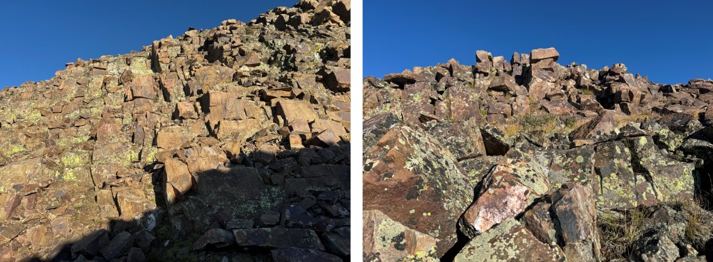
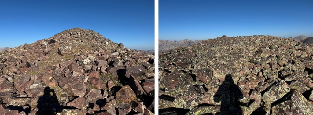
Here’s a look at that third notch, another easy class 2 workaround by going left
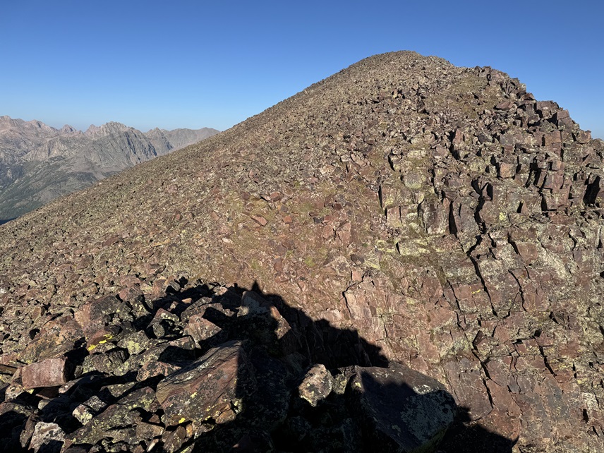
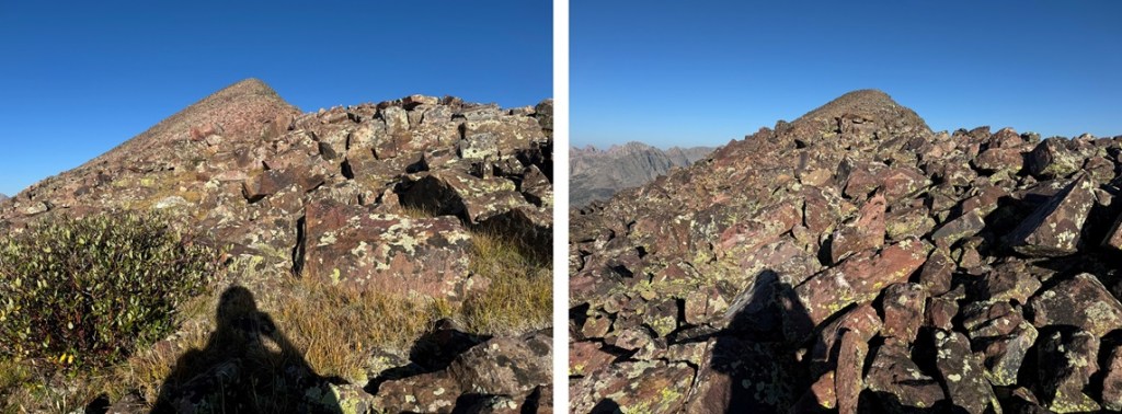
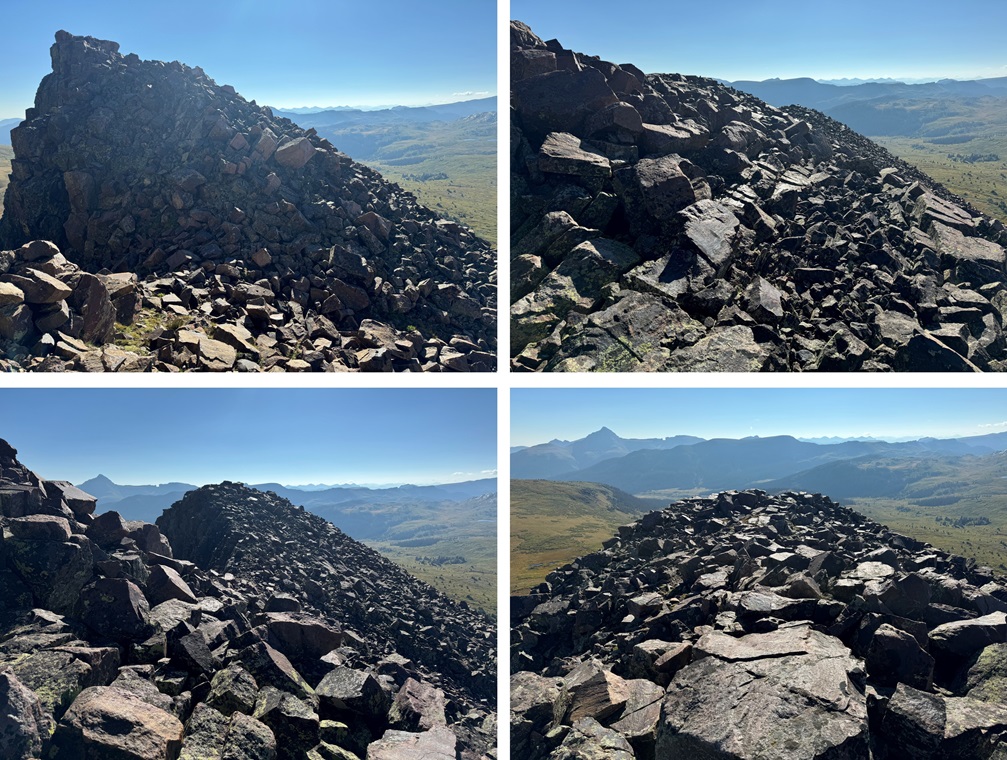
Then it was a rocky, class 2 hike to the summit
I summited PT 13171 at 8:30am

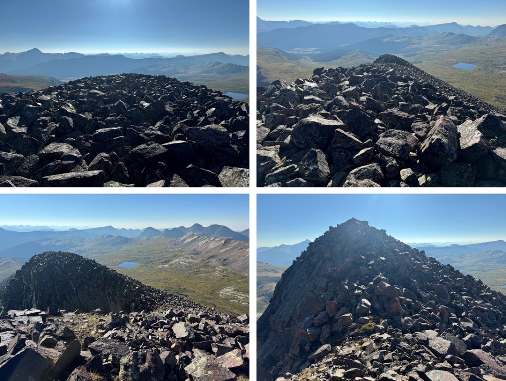
PT 13171:
This was my only peak for the day, so I re-traced my steps back down the rocky ridge
Then I navigated my way down off the ridge, back to the CDT
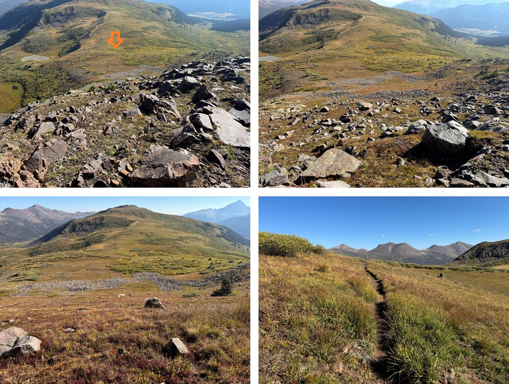
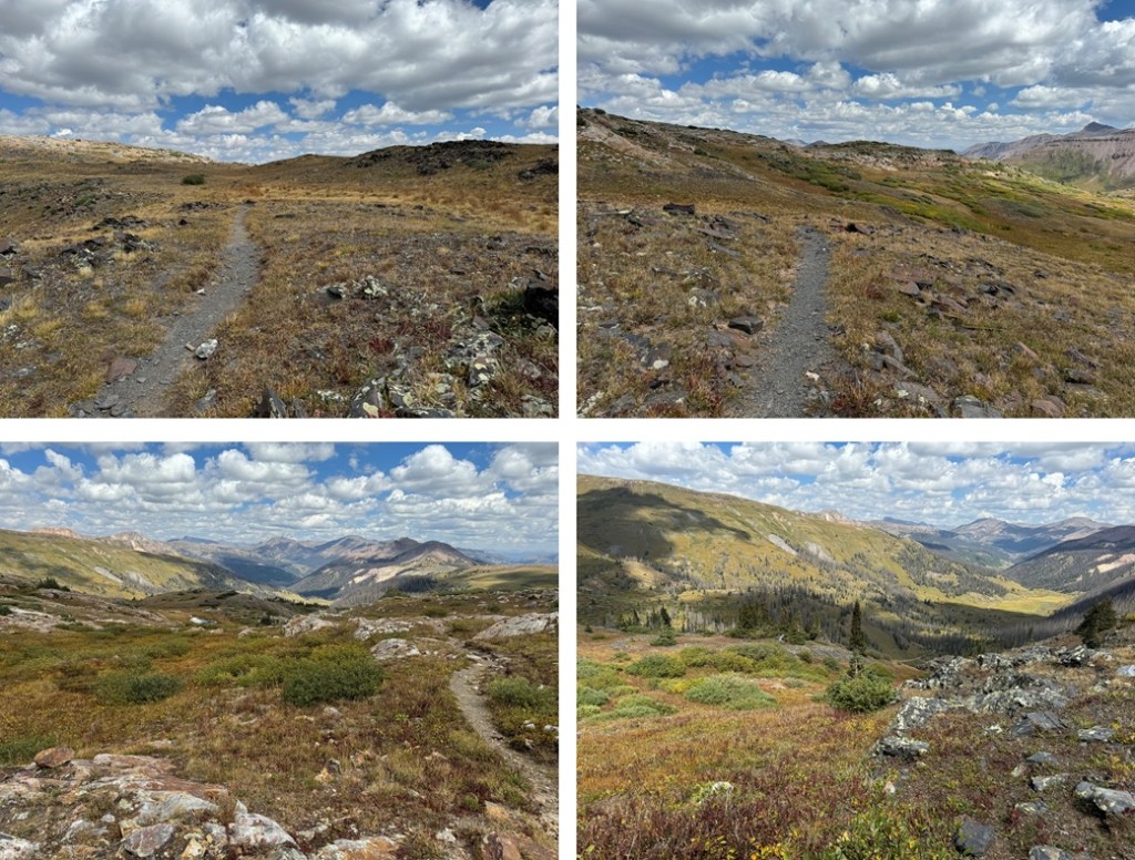
Back on the trail, I followed it forth (then northwest as it curved)

There was one point where the trail intersected with the West Ute Trail, just after West Ute Lake. I didn’t notice it on my way in, but if you notice it here, go left.
I made it back to treeline, then gained 725’ of elevation back to my campsite at 12500’
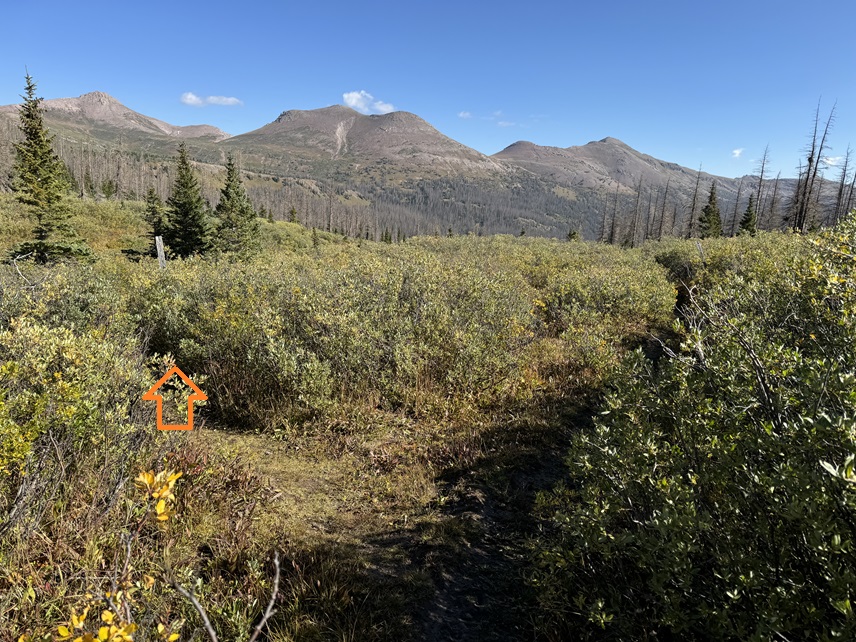
I took down my tent, and continued hiking west on the CDT, towards Vallecito Trail.
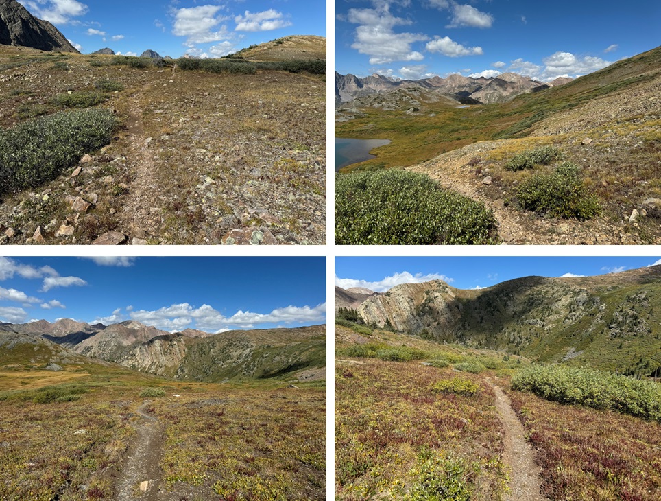
Once I made it to the Vallecito Trail, I turned right, and followed it north to Hunchback Pass, gaining 955’ of elevation up to the pass

Then I continued following the trail back down to Beartown, and my truck.
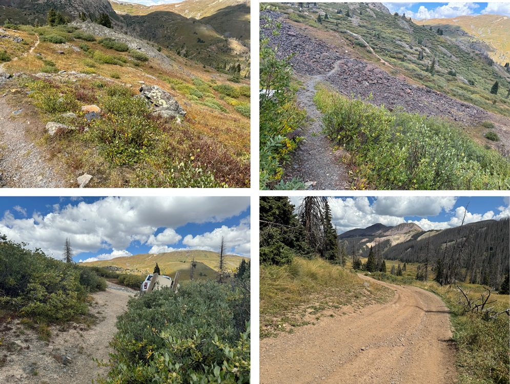
I made it back to Beartown at 1:30pm, making this a 13.85 mile hike with 3207’ of elevation gain, including campsite tear down, in 7 hours.
On to the next trailhead!
