For those of you considering doing the combo:
·Bring a helmet
·The info I had said there’s usually snow until
mid-July, but I hiked this August 18 and there was still quite a bit of snow.
·Ladies, this entire trail is above treeline andthere are no restrooms at the trailhead. Plan accordingly.
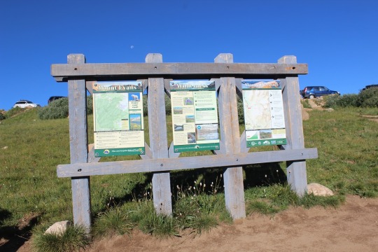
Trailhead info:
I drove my Tundra all the way to the 11,160’ trailhead that
intersects with Pearl Pass, but if you can make it that far you can make it to
12,800’ (as long as you don’t mind the elevation decreasing). The road actually got EASIER after I’d parked but I didn’t know this until I’d started hiking. The only dicey parts would be if you had a long vehicle and needed to turn around.
You wouldn’t be able to. (pictures later). Here’s a short video of the hardest part of the 4WD trail, just to give you a visual. Note: The sounds are not rocks hitting the underside of my car truck but the stuff I have hanging from my mirror making noise.
OK, now on to the hike.
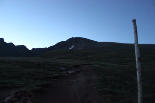
I woke up around 1:30am to make it to the trailhead by 6am. I don’t live close, and I don’t like to sleep at trailheads if I can help it (I’m better rested this way). This trailhead was not difficult to find, but it is 4WD.
Just after I crossed the creek I saw a group of 4 hikers. I passed them, then I got to thinking about how they had almost 2 miles to go, and I had an empty truck. There were storms predicted this afternoon, and I could save them at least an hour on their hike, valuable when storms are possible. If I was hiking and a vehicle passed me I’d want to be picked up (Como anyone?). I stopped, got out of my truck and asked if they’d like a ride to the upper trailhead.
I wasn’t sure they’d take the offer, mainly because some guys are big on making and bragging about mileage, but surprisingly they were thrilled with the opportunity. This made me feel good. Two sat in the cab and two sat in the bed of the truck. They were all very nice. We chatted for a bit as I drove up the 4WD trail about my truck (Tundra) and how well it was handling everything the road threw at it. They were from Kansas City on a guys trip to hike a few 14ers. Apparently they do this twice a year. Cool!
I parked at the Pearl Pass junction and we parted ways. Here are some pictures of the rest of the 4WD trail.

By the time I’d hiked to this junction at 12800’ I couldn’t see the hikers I’d picked up. I never saw them again on the hike, but I hope they summited! They had great attitudes!
Here the trail split in two and I went left to follow the trail to Castle Peak.

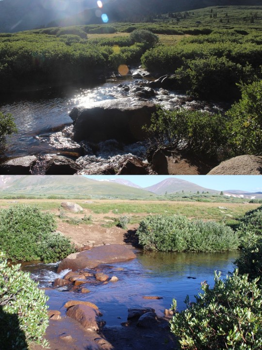
I crossed a small stream and then came to the first snow of the hike. It was easy to cross and hard-packed, if a little slippery (hey, it’s snow).

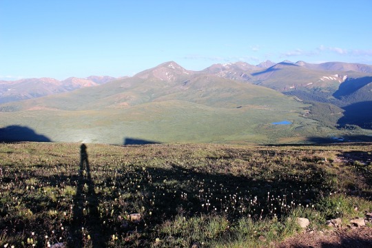
I took a shadowselfie with the snow because I do that kind of thing.

From here I could see Conundrum Peak to my right. You can hike this peak first, but I’d recommend hiking the higher peak first.

As you can see from this wonderfully edited picture, the trail zig-zags with switchbacks up the left side, and then follows a straight path across the mountain to the right.

This is what you see when you reach the top of all that wonderful scree.

Here is where the fun begins! There are several difficult class 2 scrambles
on this route. I found several gullies that didn’t lead anywhere but up. Just
know if you keep to the low right you should be able to find an easy
route. If you’d like a challenge (and your party has helmets) by all means have fun going up the gullies. I did. Snap, Crackle, Pop!


Here’s a look back at what you’ve accomplished.

And a view of Conundrum Peak (notice it has 2 summits? The “true” summit is to the north).

Picture proof I summited

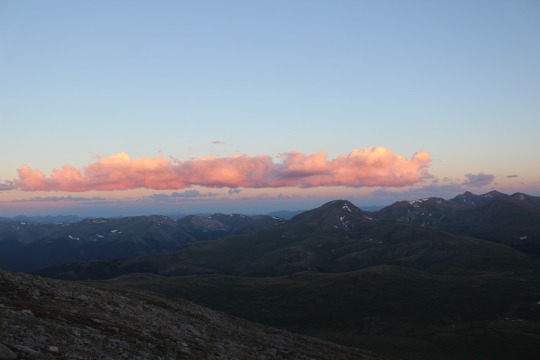
I was the only one on the summit and couldn’t see anyone on the trail behind me. I took several pictures of the mountains all around.
Maroon Bells anyone?

I started my decent and immediately found a feather. I feel a Game of Thrones reference is valid here. I’ve never actually watched the show, but I have seen memes about sending a raven, and since I was on Castle Peak and all….

Moving on.
The feather parallels Conundrum’s ridge. I get to climb that!
But first I had to descend to the saddle, which included more fun scrambling.

And then going up another ridge.

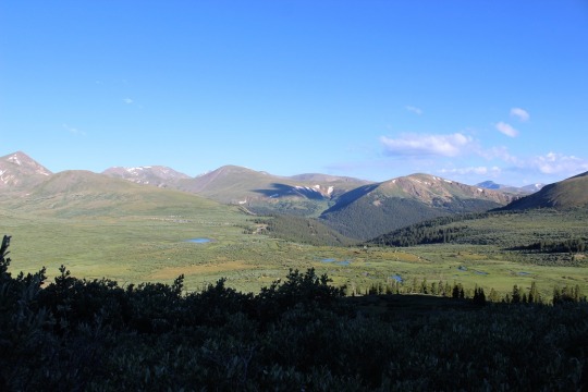
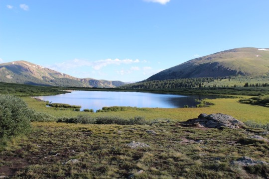
I stopped to take a picture of the pond/small lake below. Anyone know the name of this pond, or is it just considered drainage? I looked (quick search of my topo and Roach’s book) and couldn’t find any info.

Here’s looking back at the ridge I just descended from Castle Peak. Notice the red rock at the bottom right of the ridge? That’s where the trail picks back up to head back down. It’s important…

Most of what I saw on these mountains consisted of rocks, but at least they were pretty to look at.

When I got to the top of the ridge there was a long flat section that was easy to cross.

Then there was a descent, and another ridge to climb. This wasn’t difficult.

Once again I was the only one on the summit (but I could hear hikers and their scree-valanches snap-crackle-popping from across the ridge).
Picture Proof I summited:

Now to head back down. I went back the way I’d hiked in, and at the saddle saw another hiker. He was surprised I was on the mountain (he thought he’d be the first to summit).
He didn’t know me, so he asked me how much faith I had in my abilities? He said the trail drops off into a gulley and leads out to snow. It’s full of scree and can get pretty dicey. I told him I had a helmet and gloves, but I’d think abot what he said and decide when I saw the trail. I knew no one was in front of me, so I didn’t need to worry about hitting anyone below me with scree, but he’d be above me.
I thought over what he’d said. How much faith did I have in my abilities? Well, I’d just summited my 20th unique 14er (and 31st overall). I’m now about 1/3 of the way done with the 14er challenge. I’ve climbed a few difficult class 2’s and I’ve hiked in the snow. How would I know my abilities if I didn’t challenge them? Looking down the mountain I could see where I needed to go. Even when I lost the trail (which was going to happen because there wasn’t a trail) I knew which point I needed to hike towards.
I decided to go for it. Here’s a picture of what it looked like when I started

I was pretty much on my butt with my feet sideways the entire time. Rocks were falling at a rapid pace below me and I was sliding fast. Luckily near the snow the rocks were wet and more packed. I was very thankful I was the only one on this part of the mountain. Anyone below me would have been hit in the head several times. This picture shows what’s below me and what I’ve just hiked. This is what it looked like after about 300 feet of hiking through
incredibly loose scree.

I kept going and went directly down the gulley. As promised, it turned to snow. There was no good trail since I was the first one hiking today, but I could see where others had traversed in the past. I sat down, put my feet in front of me, and took a deep breath. And a picture.

Knowing what I had to do I started out slowly inching my way down, trying to get a feel for the density of the snow. It was hard packed but soft due to the
sun. I didn’t have an ice pick (hello, August?) so I tried to slow myself by directing my feet into a “V”. That seemed to work pretty well. I didn’t want to go too fast and slide out of control since I didn’t have anything to stop myself if that happened.
Things started progressing pretty well and I got into it. This was fun! I made a great trail all the way down the mountain. When I stopped in front of the lake I thought to myself “This would make an awesome picture!” and reached for my cellphone.
It wasn’t there! It had fallen out of my pocket somewhere on that slide! Drat!
So I did the only logical thing: I hiked back up that mountain, praying inwardly the hiker I’d met and promised to wait for me didn’t start his descent until I was done. As luck would have it, I’d lost my phone at the very top of the slide.
Wonderful. At least I was able to find it!
On a positive note I got in extra elevation on this hike, and since I’d already made a pretty good chute to slide down the first time, the second slide was much easier than the first. And since I had my phone I decided to take a quick video of the fun
I got up, knew I was supposed to hike left but hiked right
instead because it meant traversing less snow and I knew it led to the Castle
Trail back down.
When I got past the lake I turned around to look at my route. I’d started in the gulley (upper left) and slid down the entire mountainside. Twice. Awesome!

And my butt was wet

Now to hike back out.
It was pretty simple, as I just followed my hike in. Funny thing: I never did see that hiker who gave me the advice? I didn’t see him go down the gulley or on the entire trail back. And you could pretty much see everything on that trail for about a mile in either direction. So he either spent a LOT of time on the summit, or took a different route down. Or we just missed each other somehow?
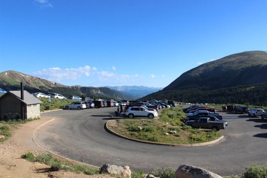
There were about 5 cars at the 4WD trailhead when I got back down to my
truck. I remember a 4 Runner but forgot what the others were.

In any event, this was a great hike! I was singing the entire way down, which
means it was fortunate I was the only one on the trail. I always love new adventures!
Castle Peak Summit Video: