RT Length: 31.68 miles
Elevation Gain: 6041’
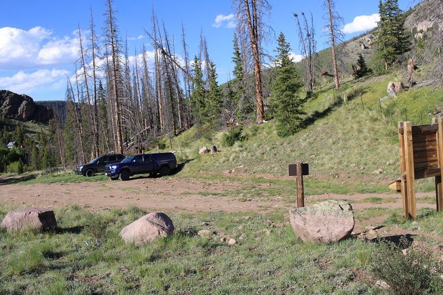
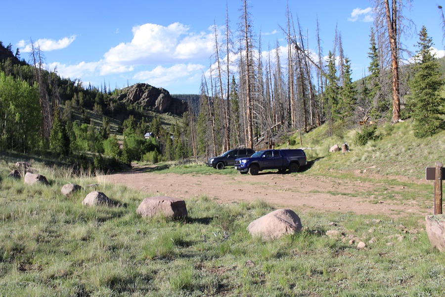
I drove to the Eddiesville trailhead the night before, and was up and on the trail at 4:30am. I’ve been in this area for over a week, and was fairly confident I wasn’t going to need microspikes or an ice axe (I didn’t). The trail starts at the south end of the parking area, and follows the Colorado Trail.
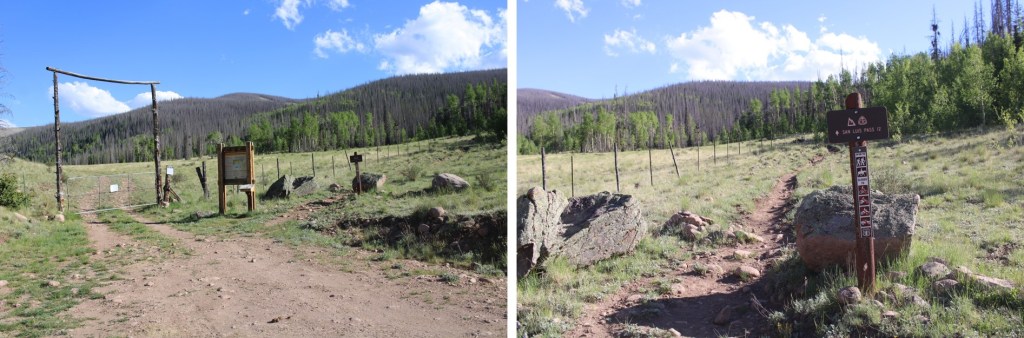
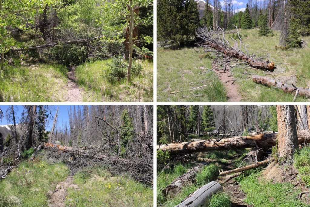
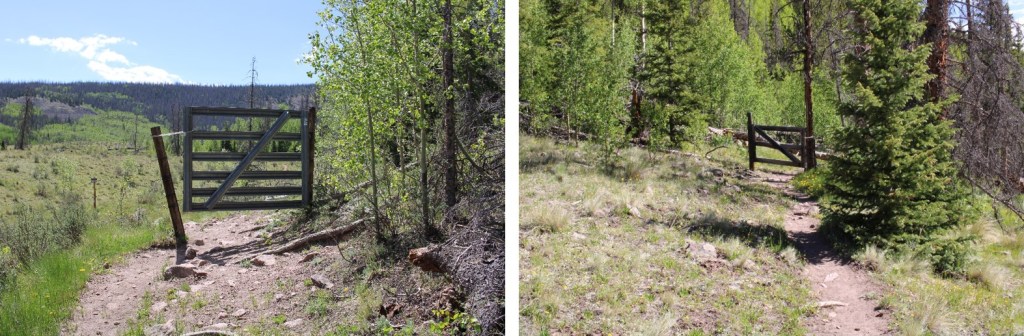
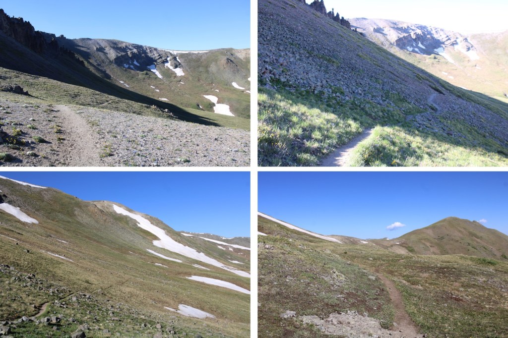
I followed the Colorado Trail for 8.25 miles, all the way to the San Luis Peak/13166 saddle. This was a very well-marked trail, which made it difficult to get lost. Also, there weren’t many trail intersections, also making it easy not to get lost. I crossed several small creeks and downed trees on my way, and passed through two gates (latched, not locked).

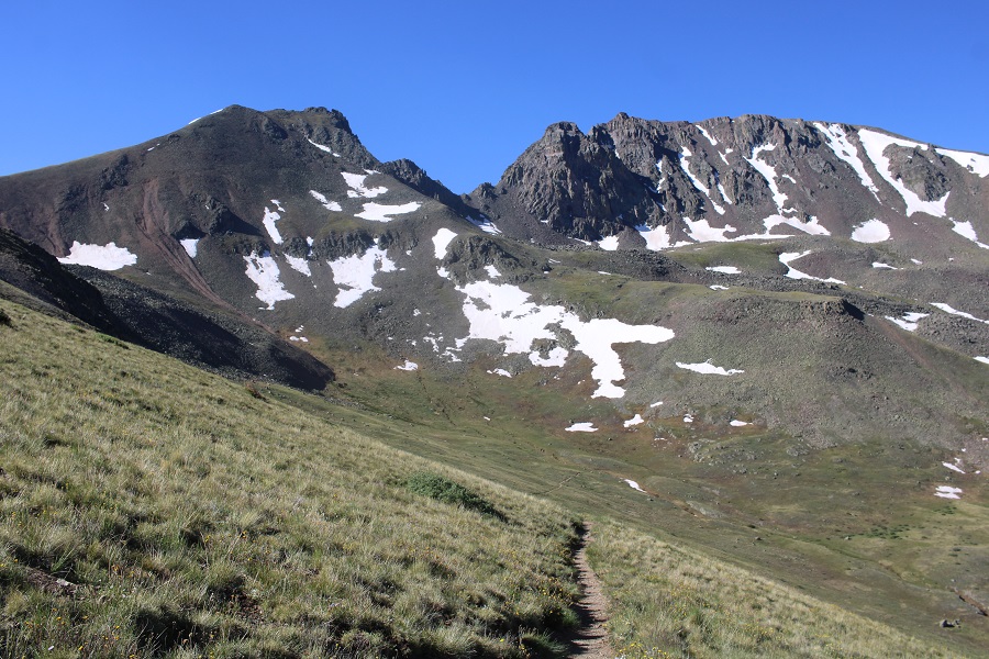
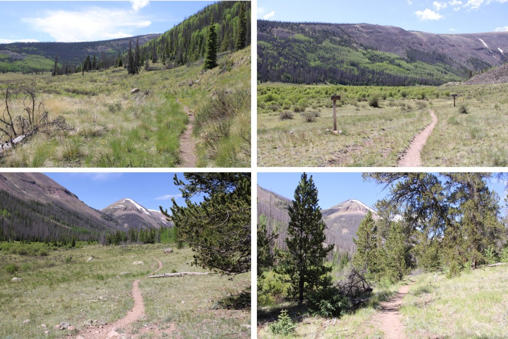
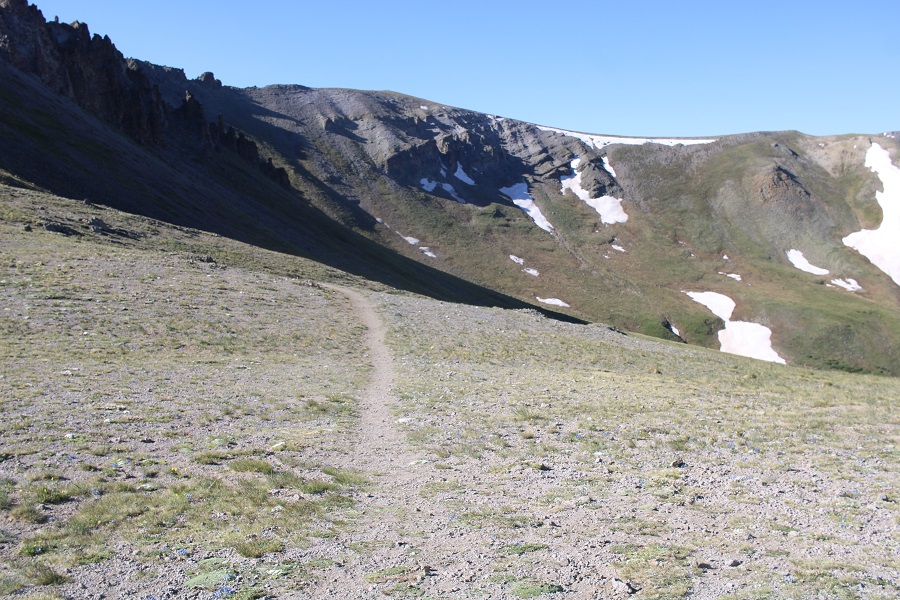
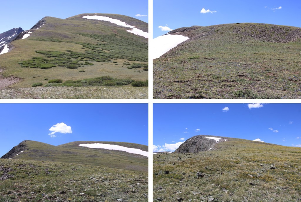
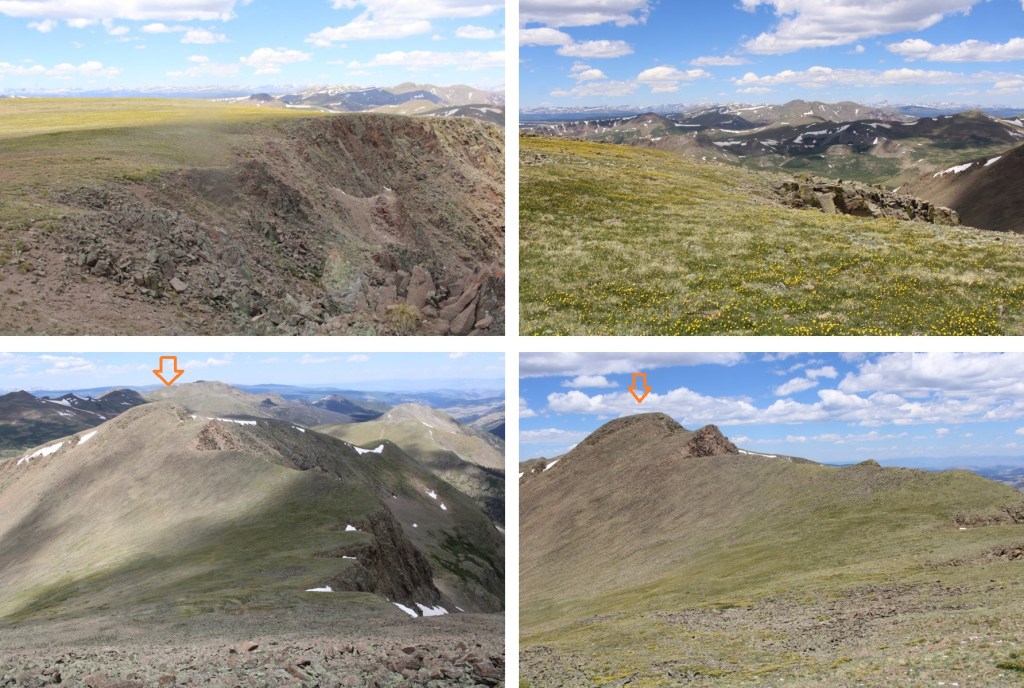
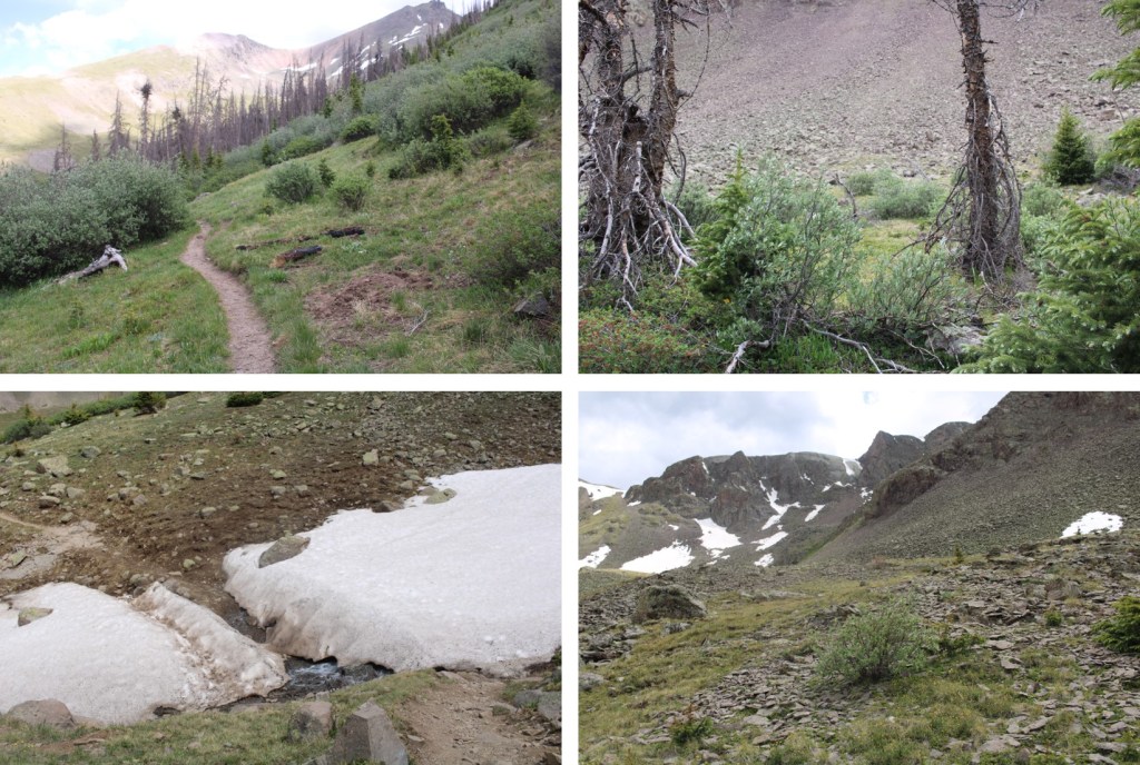
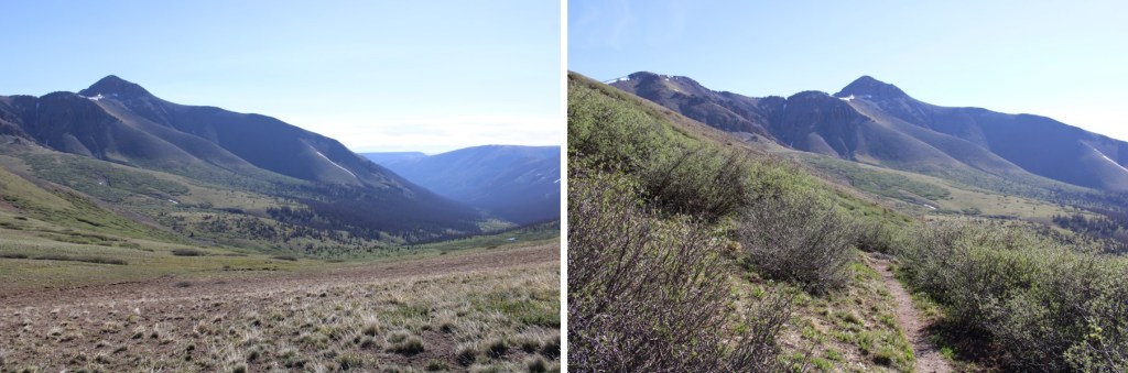
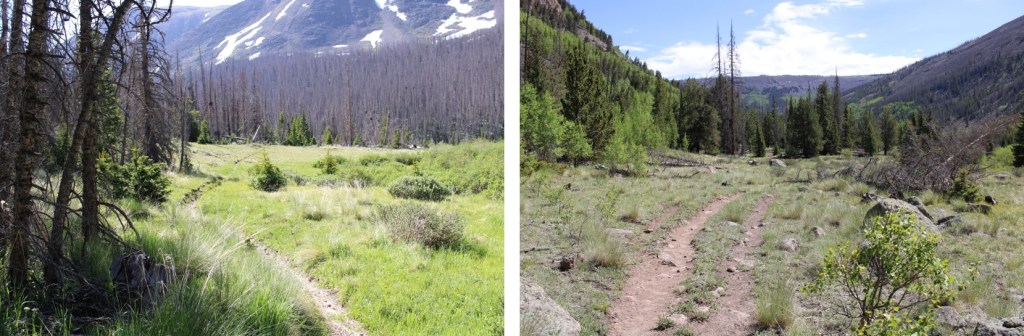
Here are some pictures of the terrain, which followed Cochetopa creek up the basin.

After hiking for 7 miles, I crossed Stewart Creek

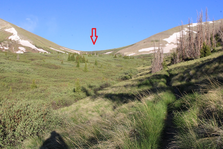
I was now above treeline, and could see the 13166/San Luis Peak saddle.
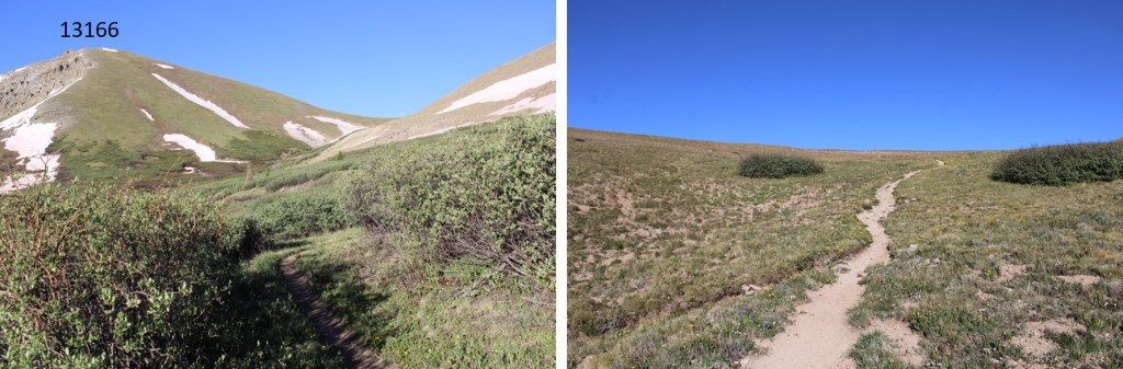
The Colorado Trail nicely brought me there.

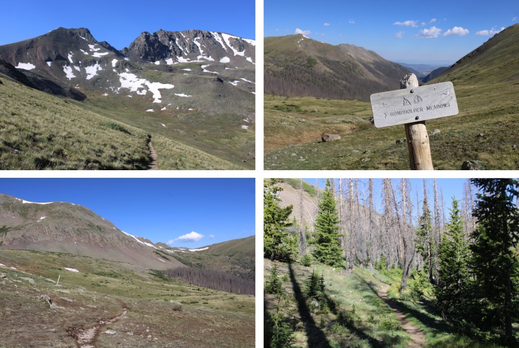
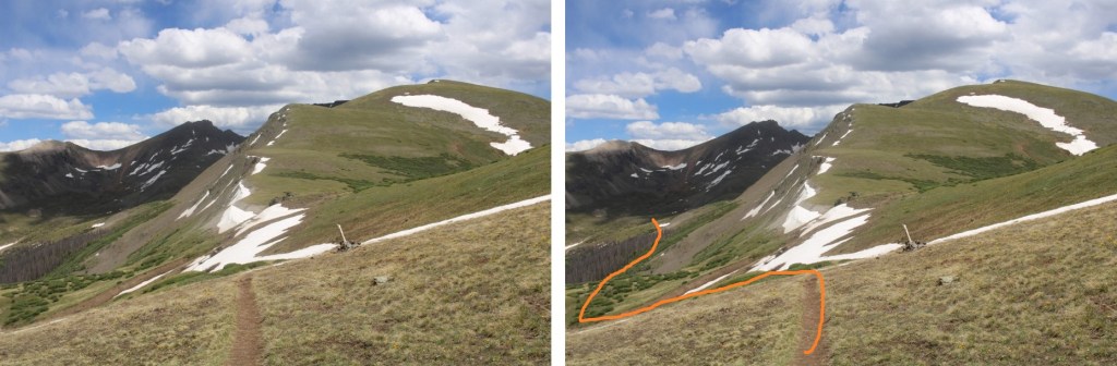
I would now lose 255’ of elevation as I headed down west, towards another pass, still following the Colorado Trail
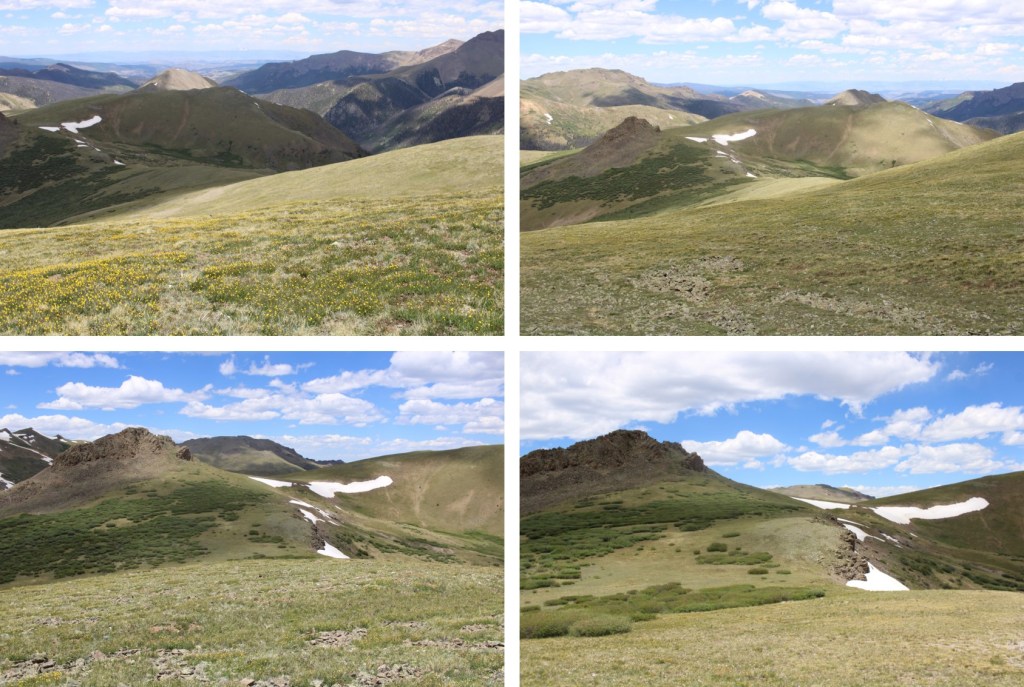
Here’s the route

It was all pretty easy, class 1 hiking
I arrived at the next pass, and lost another 460’ of elevation, once again, on a nice class 1 trail. This one took me through Bondholder Meadows

Here’s the route


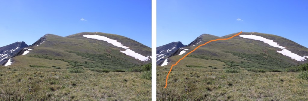
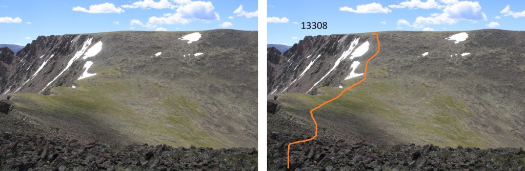
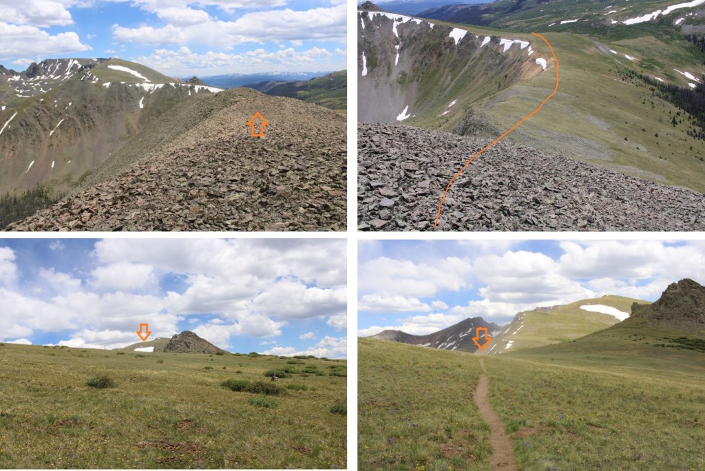
After hiking for a total of 12.5 miles, and at 12290’ of elevation, I saw this cairn, and turned left, leaving the Colorado Trail. I headed south a short ways to the ridge. There was a little bit of snow here, but spikes (etc.) were not needed.

Once on the ridge, I turned left again and followed it southeast. Here I stashed my backpacking gear and started hiking with a daypack with just the necessities. Please keep in mind, what you see here is a false summit. This was all easy class 2 on tundra.
At the false summit, I could see the true summit of 13308. I would need to descend about 135’, and then re-ascend another 335’ to make it to the summit. This area was a mix of tundra and rocks. I followed the ridge southeast.
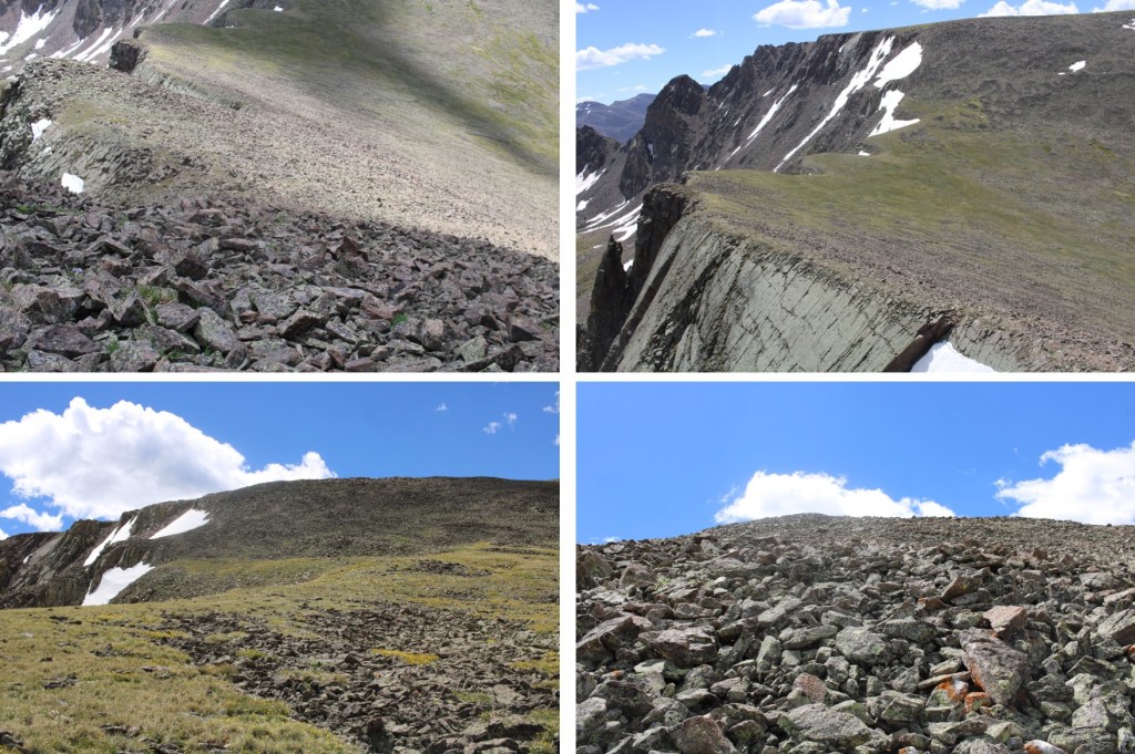
Once I reached the top of the rocky ridge I was greeted with Alpine tundra. I headed east towards the summit.
When I got there, I was unsure if I was at the summit, or if it were the pint further, so I climbed up and down (still class 2) to the summit further east, but when I got there, the first summit looked higher. When I checked my altimeter, both summits had the same elevation, but when I got back to the first summit, there was a summit register, so there’s no need to climb back and forth. Here’s the view looking at the second summit
And a view from the second summit looking back at the first

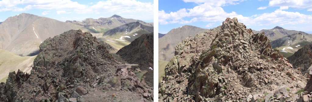
I summited PT 13308 at 11:45am

PT 13308:
I headed back down the ridge to where I’d stashed my gear, first descending, then reascending, then descending again.
Here’s looking at that rocky false summit

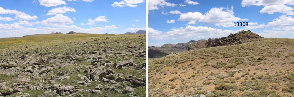
From that summit, I could see my next peak, 12580

This is where the wind picked up. Forecasted winds were 20-25mph, but I’m sure these exceeded 50mph. I had to hold onto my bandana, as it kept getting blown off my head. I made my way back to my stashed gear, then back to the Colorado Trail.
Once on the Colorado Trail, I continued following it northwest for about .75 miles

I rounded the side of a hill, and PT 12580 came into view. I left the trail, and headed towards the summit. This was all class 2 on tundra, then class 2 on rocks

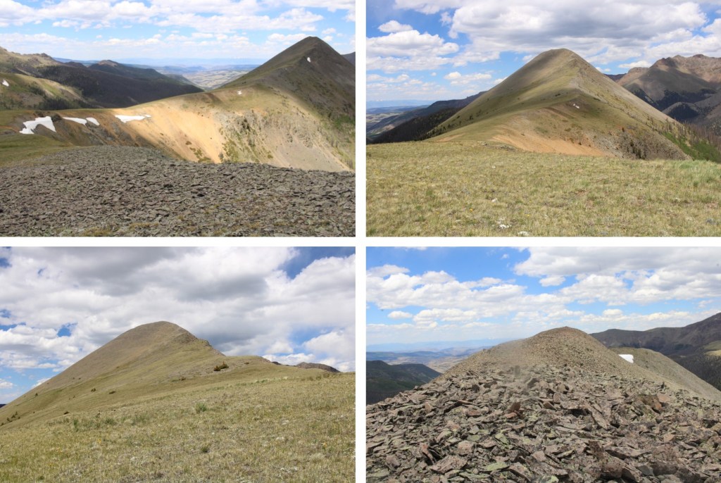
There was a summit register, which hadn’t been signed in over a year, so I’m thinking this isn’t a very popular peak. I summited PT 12580 at 2pm
PT 12580:
Now to head back down the trail. I took the same way out as I did in. I wanted to sleep close to Bondholder Meadows, but preferably in the trees.

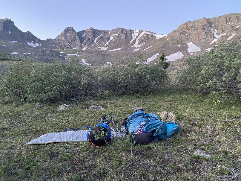
I ended up hiking further than intended, because the campsites I found were full of very dead trees, each placed perfectly to fall on me wherever I chose to sleep. With the current wind gusts, I didn’t want to chance it, so I hiked to the very end of the trees, and found a place to camp surrounded by willows, near a creek that still had a little bit of snow.
I set up my bivy, ate dinner, and bedded down for the night. It was an uneventful and warm night, except for the purring I heard around midnight and the thundering hooves I heard when I woke up. I never saw either animal.
The next morning I was up and on the trail by 6am, headed northeast along the Colorado trail. Here are the two passes I needed to go over


At the top of the last pass, now all I had to do was follow the class 1 trail back to the trailhead.
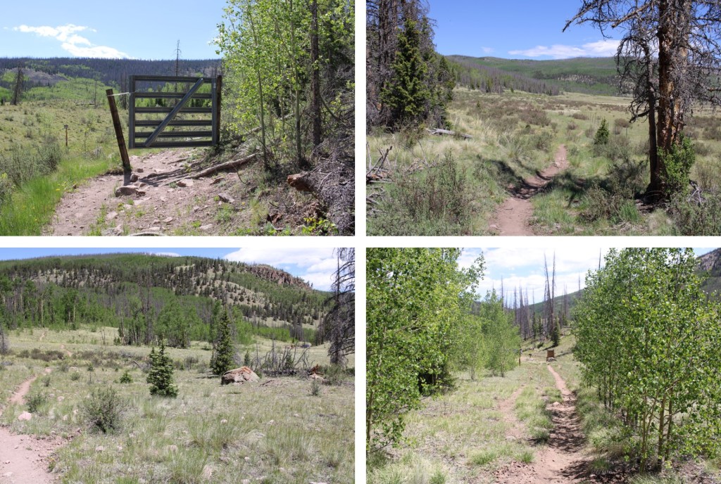
Here are some pictures the rest of the way back to the trailhead. I saw a couple of bull moose munching in the willows, but that’s common for this area.

I made it back to my truck at 10am.
This was a 31.68 mile hike with 6041’ of elevation gain.

On to the next trailhead!
