Dixon Trail to “Dragon’s Backbone” – 9170 and “Robbers Roost” – 9210

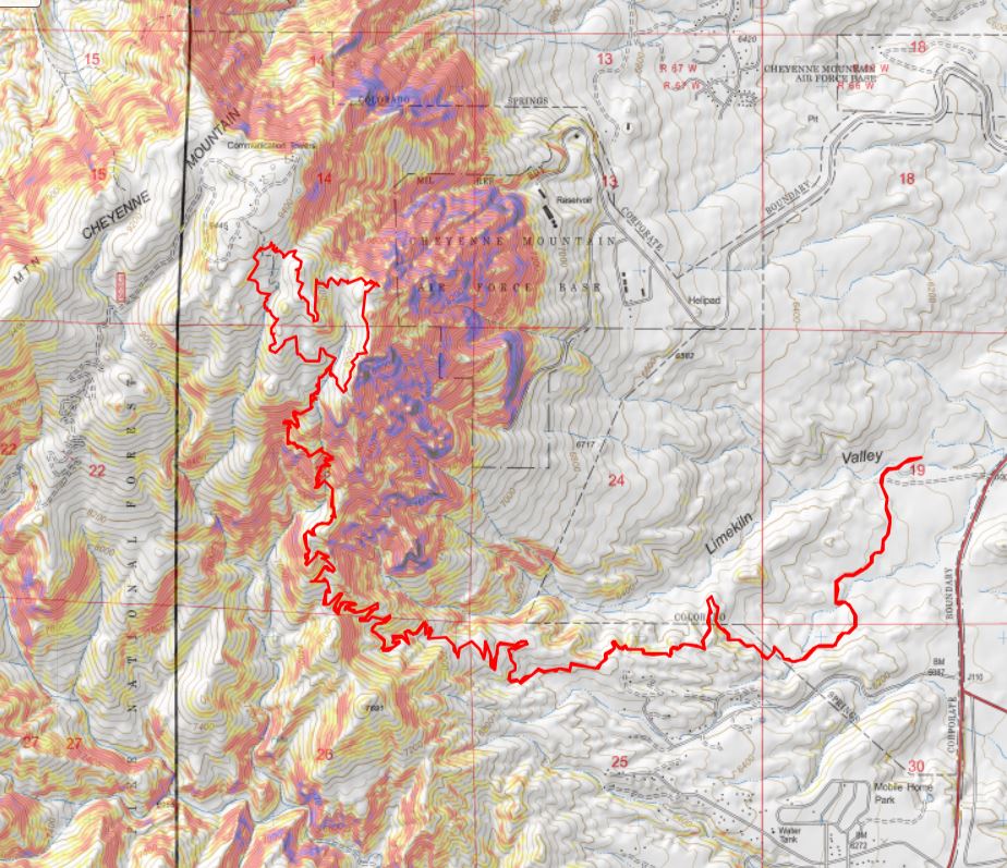
RT Length: 17.42 miles

Elevation Gain: 4099’

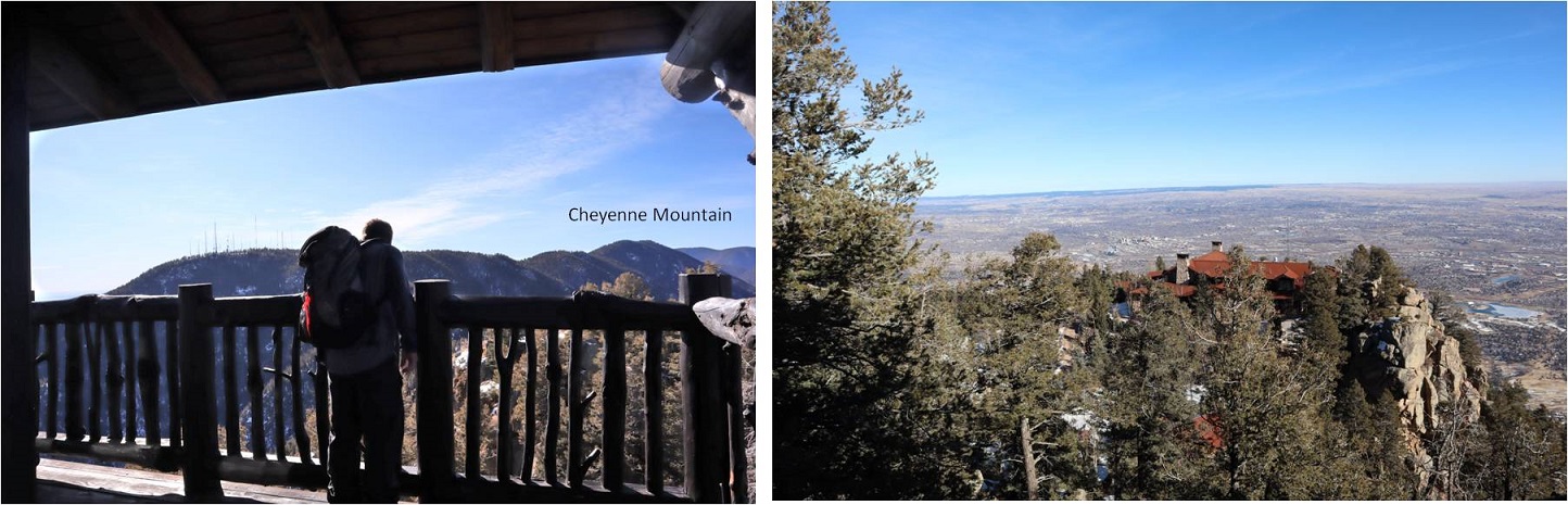
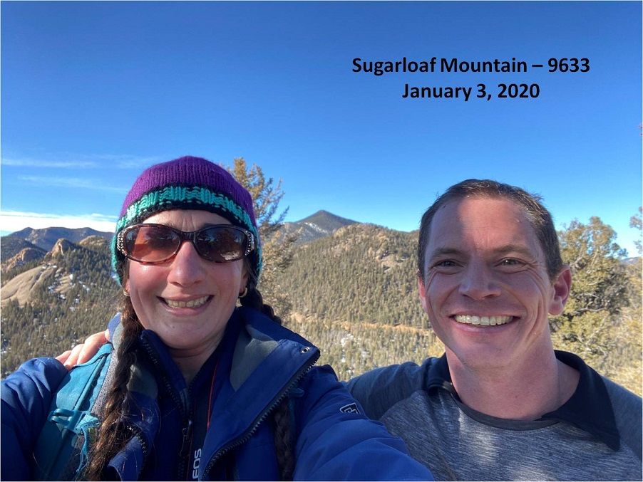
I’ve been asked to write up a trip report on the Dixon Trail from a few different people, but I was waiting until the conditions were right to take this hike.  Contrary to popular belief, the Dixon Trail DOES NOT go to they top of Cheyenne Mountain:  a reporter erroneously stated it did when the trail first opened, and the falsehood unfortunately stuck.  This reporter obviously never hiked the trail before writing their article.

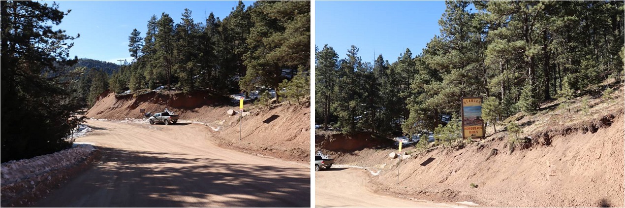
To start this hike I paid the $9 State Park entrance fee at the ranger station, and parked in the Limekiln parkin area of Cheyenne State Park.  There was only one other vehicle parked in the lot when I arrived.  I was on the trail at 6am.

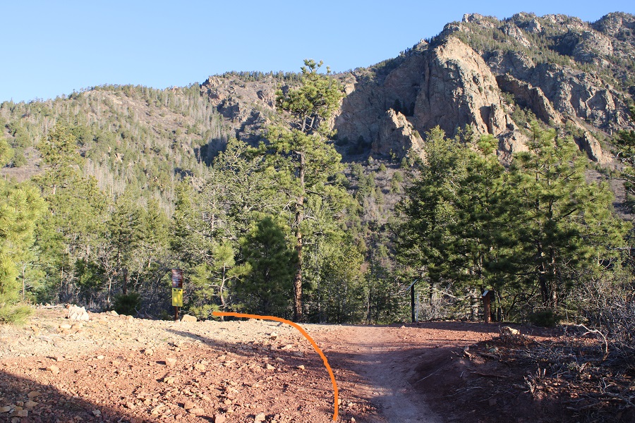
The trail starts at the west end of the parking area, in between the bathrooms and information sign.  I could immediately tell this was a mountain bike friendly park:  there was even a station to fix bike tires. 

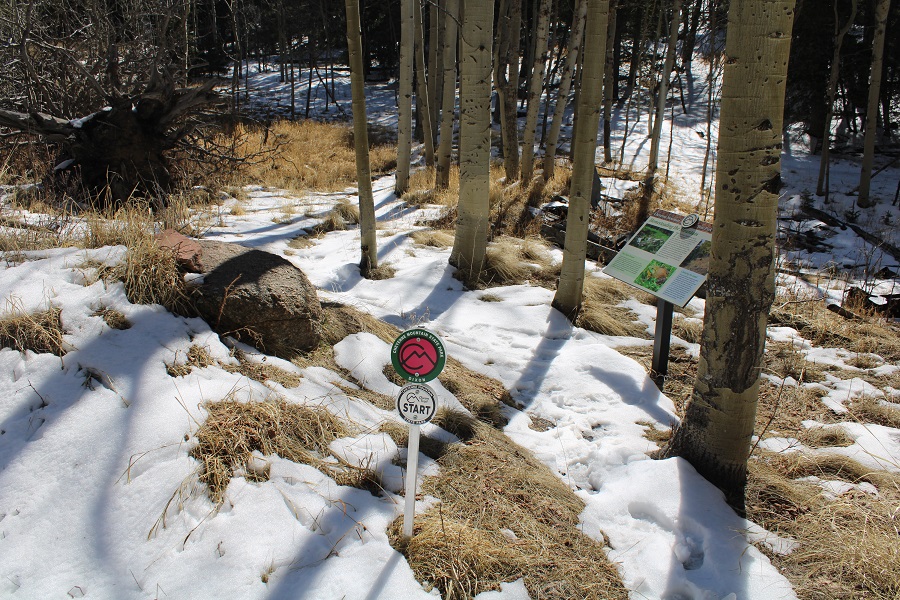
At the start of the trailhead there was a register specifically for people hiking the Dixon Trail. 

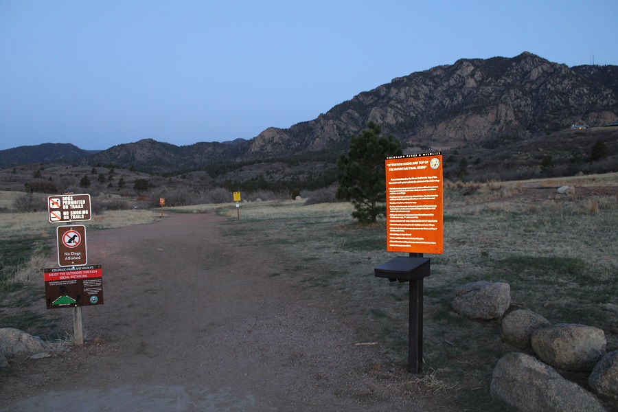
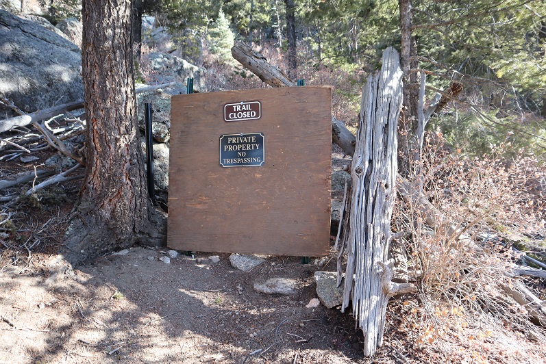
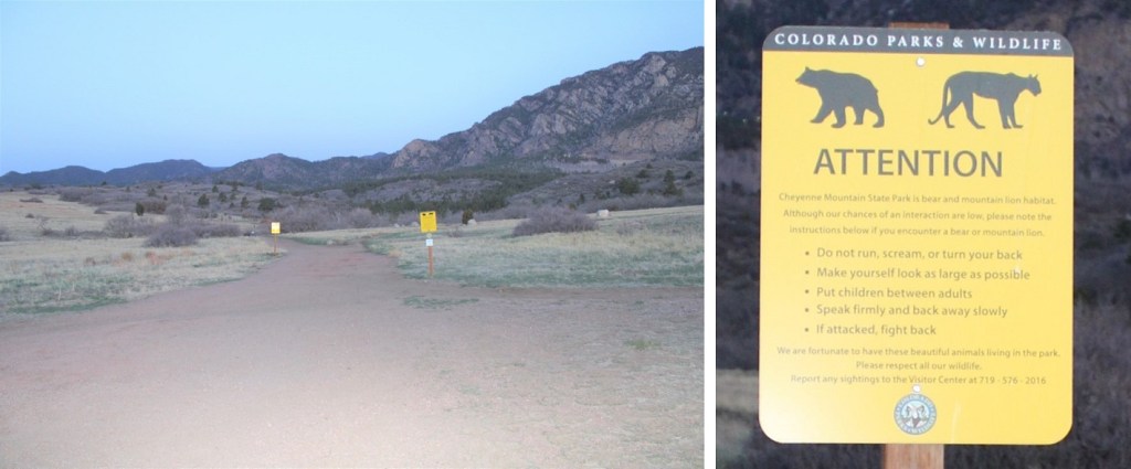
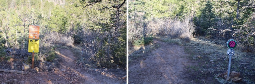
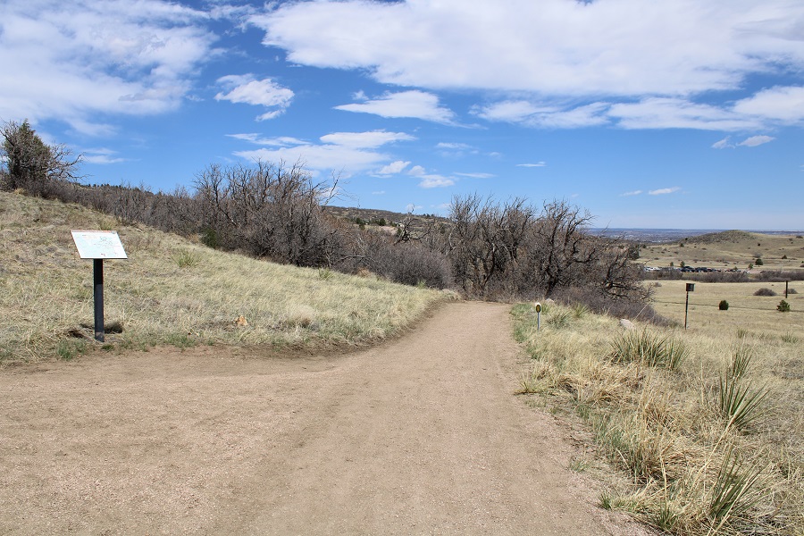
And a lot of signage.  This park has tons of signs…

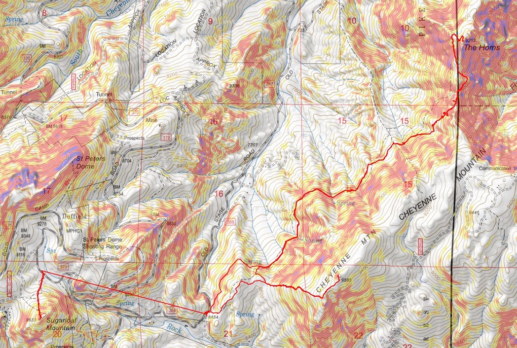
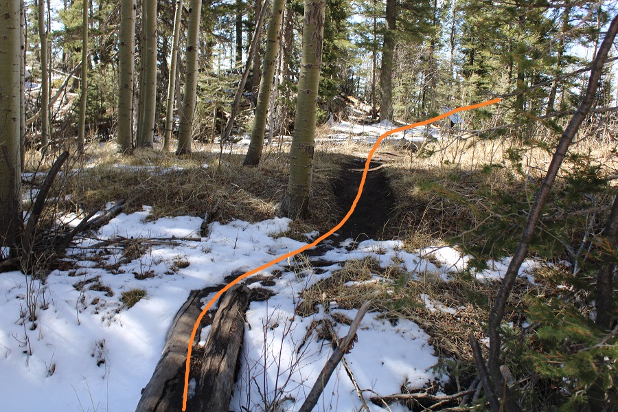
A word of advice:  Even though this park has tons of signage, it’s obvious the area was designed for mountain bikers and not hikers:  The trails aren’t efficient, and instead meander and do not take a direct line to the intended destination.  It’s a good idea to have a GPX file for this route (message me if you need one) because, while overall you want to head west to gain the ridge, you’ll often times be heading south or north instead. 

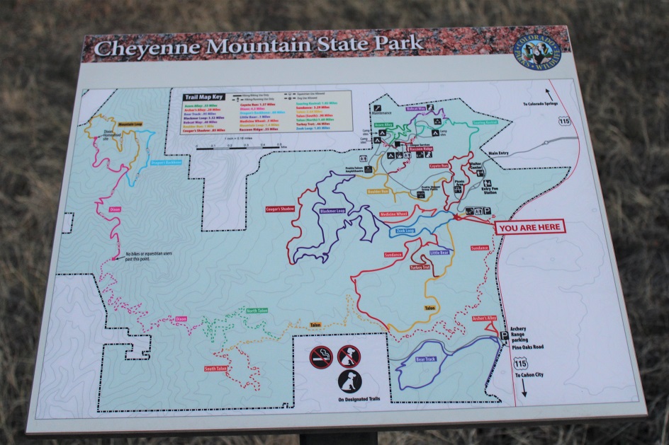
There are many ways you can get to the Dixon Trail from the Limekiln parking area. This is the route I took:

  • Yellow / Talon Trail
  • Green / North Talon Trail
  • Pink / Dixon Trail
  • Teal / Dragon’s Backbone Trail
  • Orange / Mountain Loop Trail
  • Pink / Dixon Trail
  • Followed the trail back via Green then Yellow trails

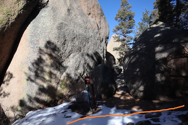
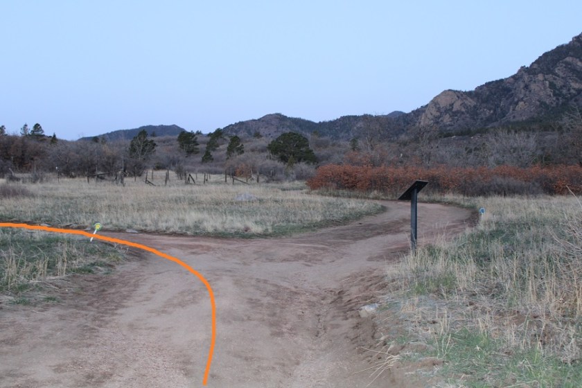
There are trail markers the entire way, indicating which route you’re on.  I started by crossing the bridge, and following the Yellow / Talon Trail

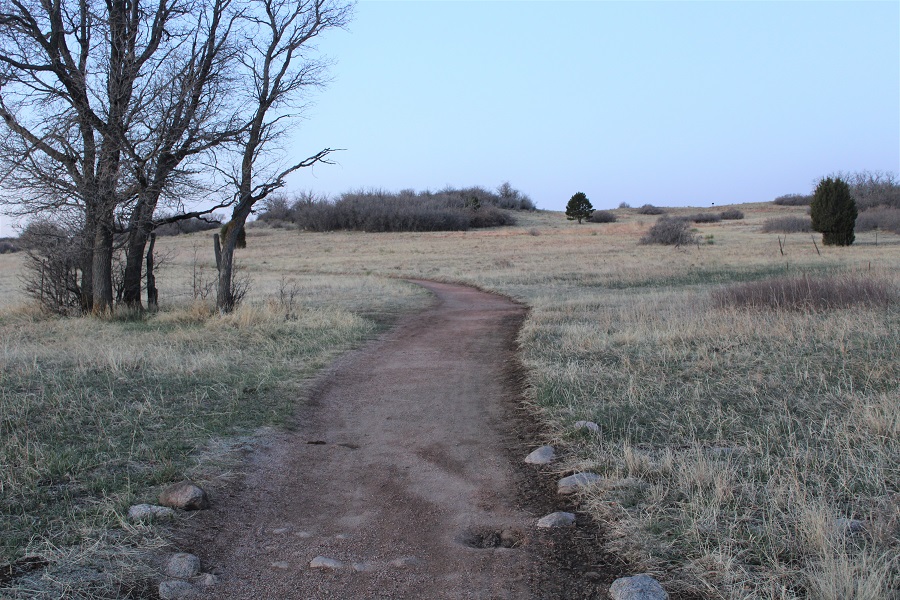
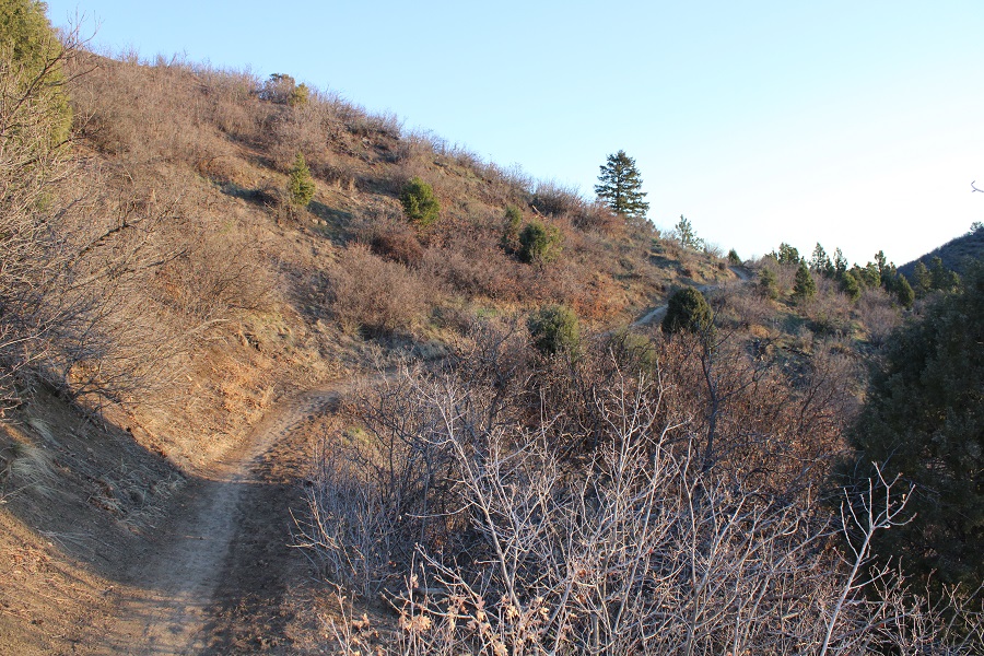
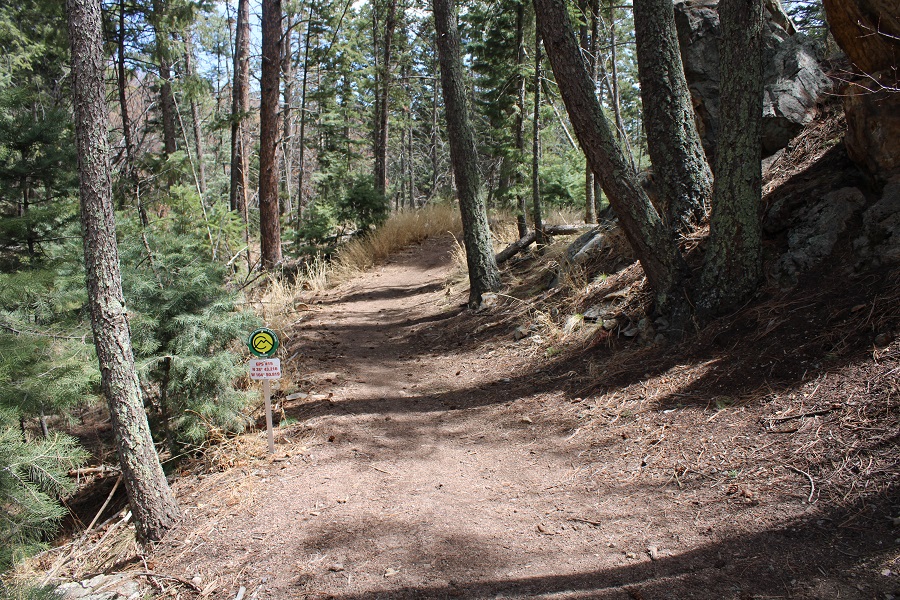
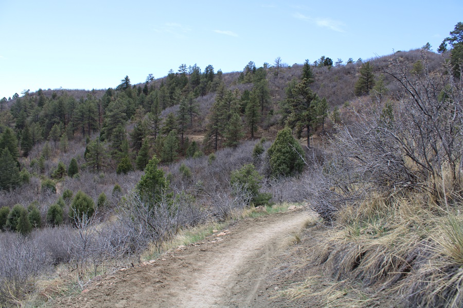
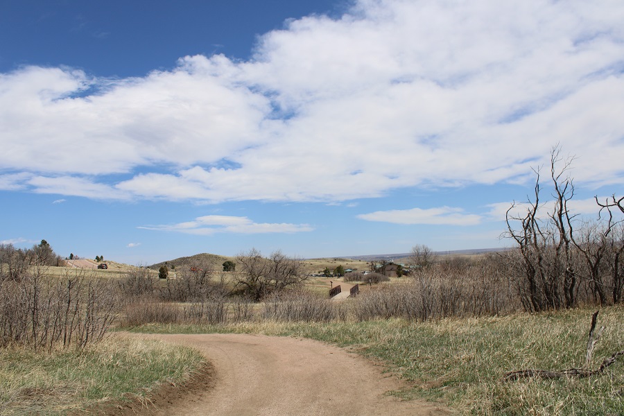
Here’s a look at the Yellow/Talon Trail

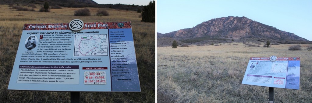
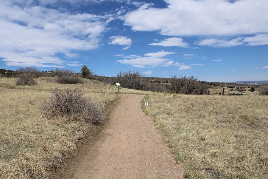
There were a lot of information plaques

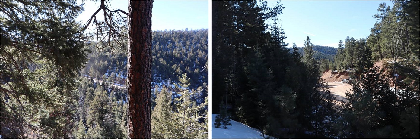
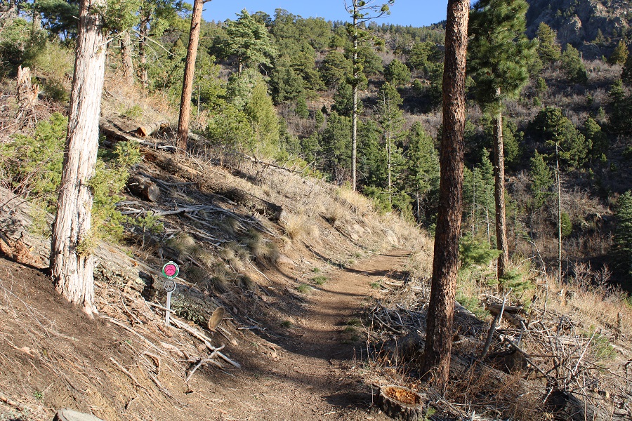
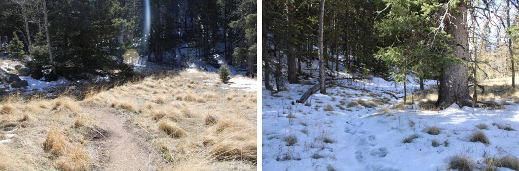
The terrain changed from prairie to scrubland and eventually to evergreen

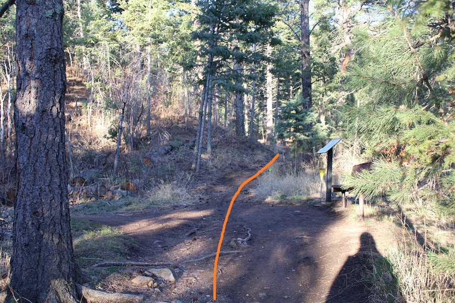
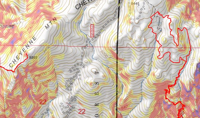
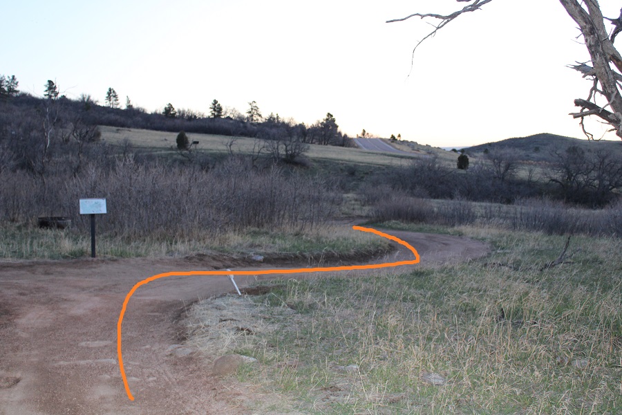
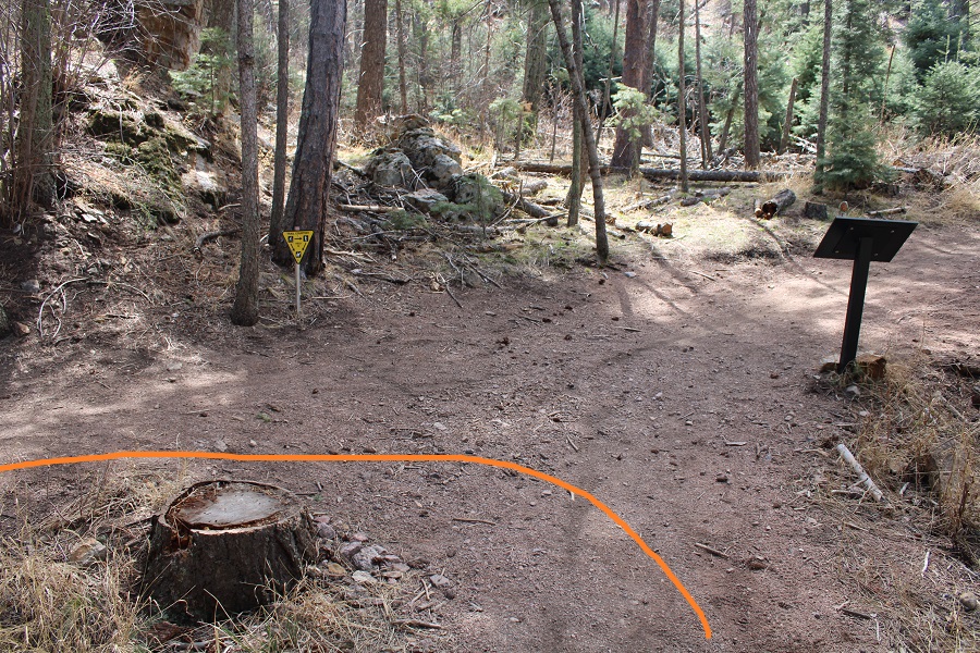
After hiking for 2.75 miles I turned right onto the Green / North Talon Trail.  There’s a 3 day junction here, where the yellow trail ends and the red and green trails begin.

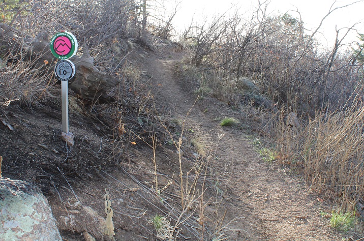
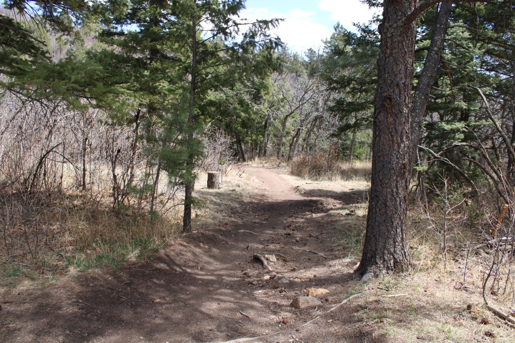
I continued following the Green / North Talon Trail for about half a mile until it came to the Pink / Dixon Trail.  This is where the switchbacks start, and unfortunately, don’t let up. 

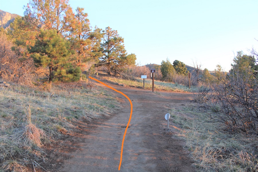
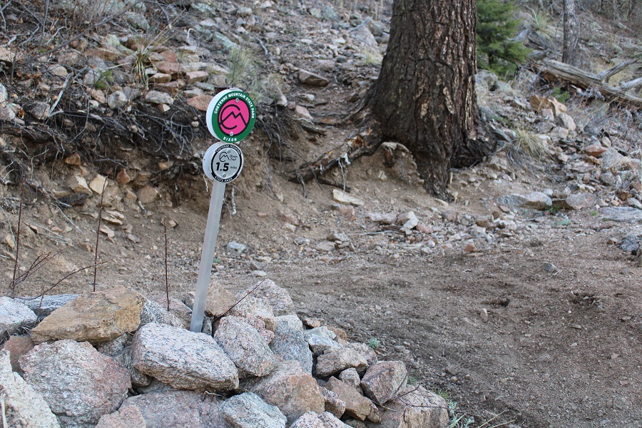
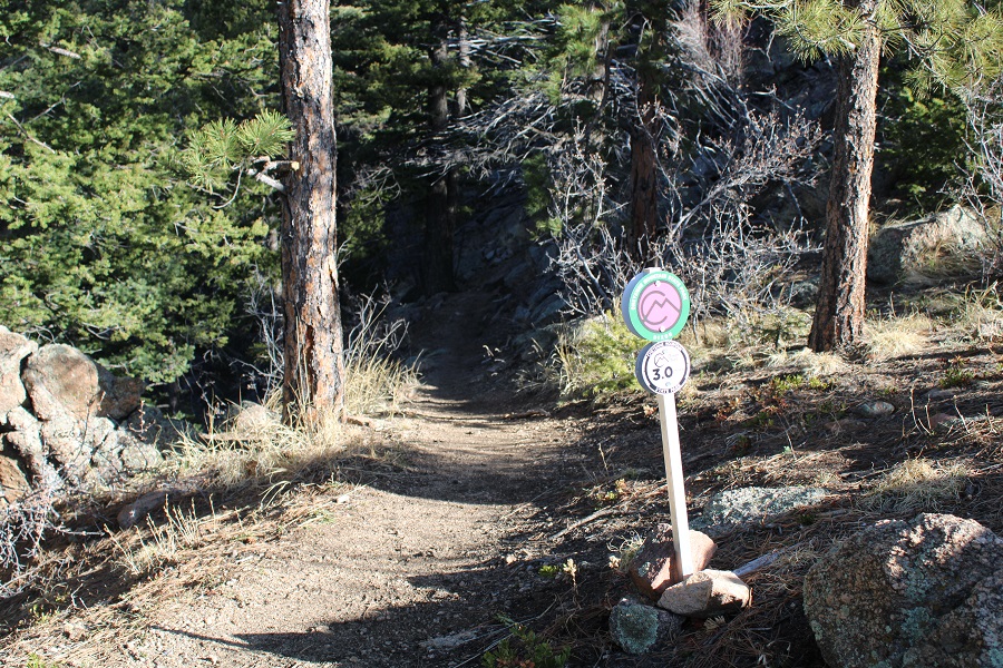
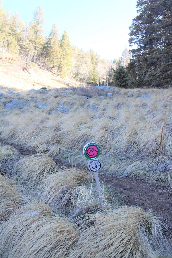
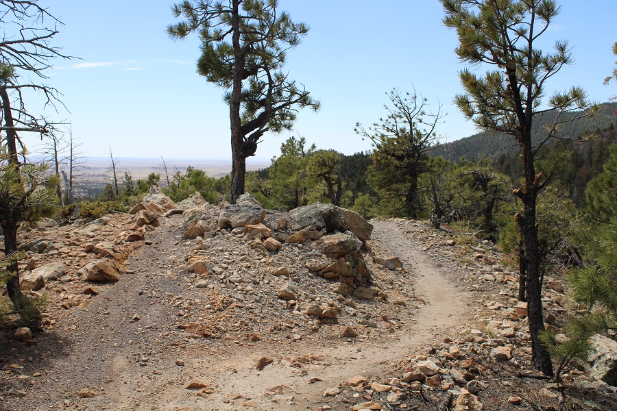
I hiked a total of around 3.5 miles to get to the start of the Dixon Trail.  Here’s the start of the Dixon Trail

The Dixon Trail is 4.5 miles long (each way), and conveniently has mile markers every .5 miles. 

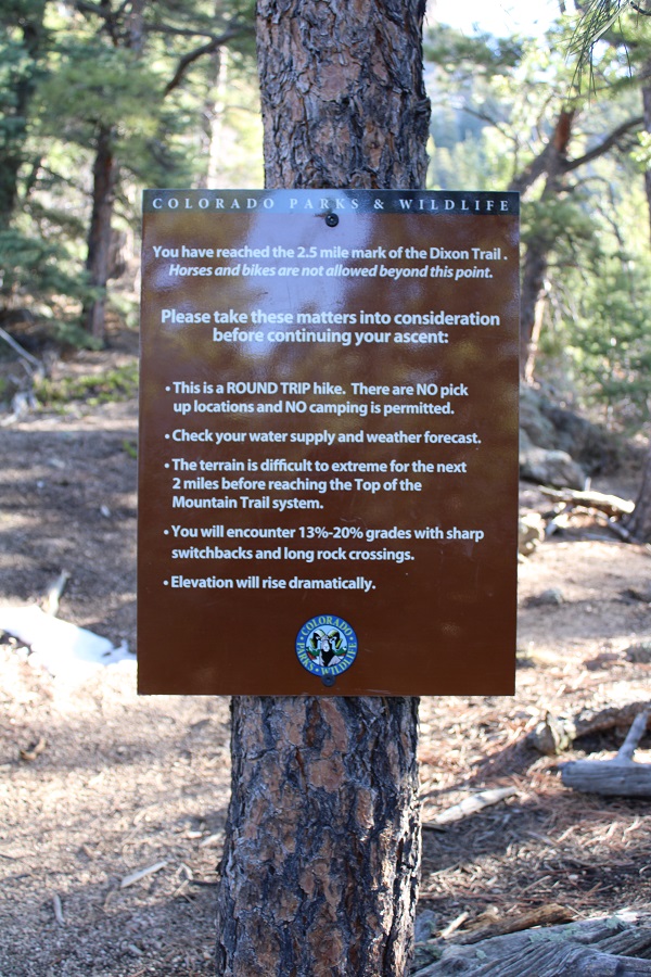
After hiking for 2.5 miles on the Dixon Trail I came to what I initially thought was a camping area.  Once I read the sign however, I realized it was a place to park your bikes/horses, as they aren’t allowed any further on the trail.

This sign makes the hike sound harder than it is.  There are so many switchbacks and it’s mostly in the shade, so it wasn’t actually that difficult

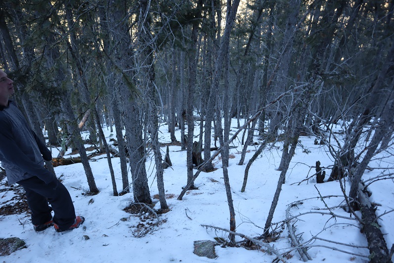
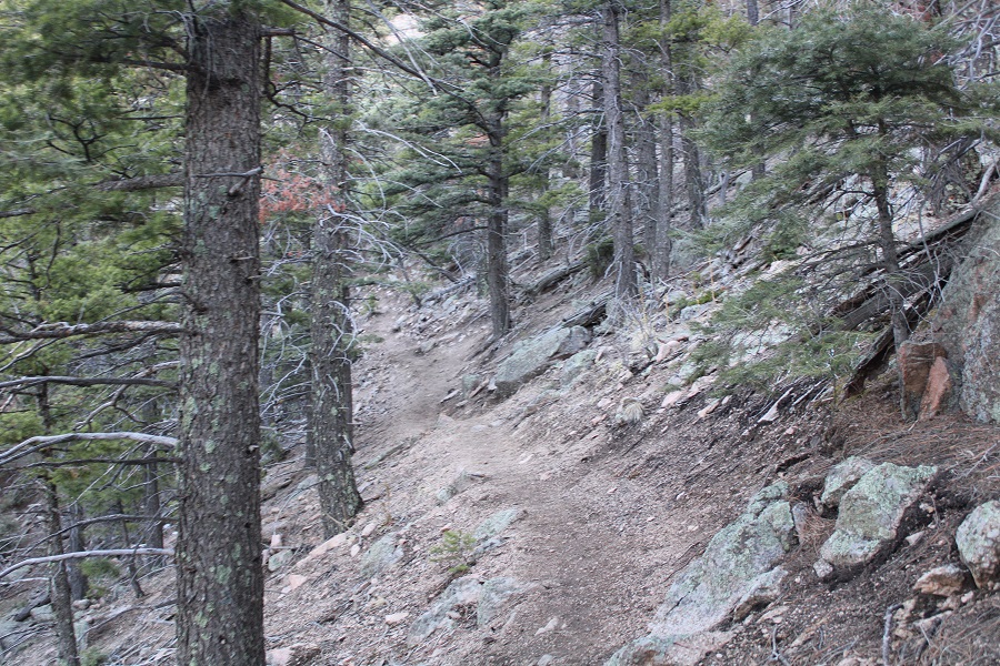
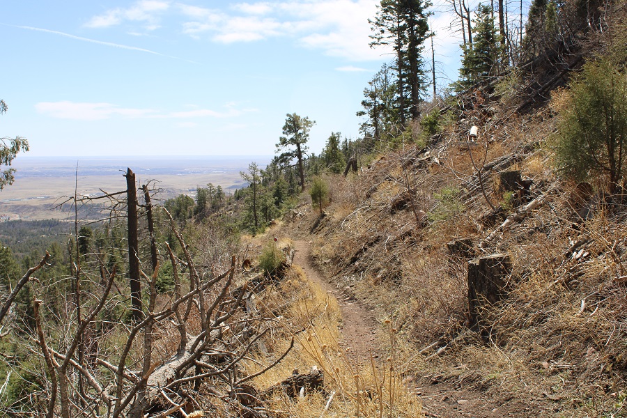
The rest of this hike takes place in the pine trees. 

Between markers 3-3.5 miles on the Dixon Trail I came upon pieces left over from plane wreck in 1957

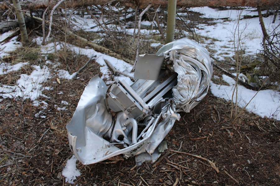
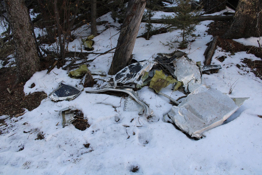
There were bits and pieces of the plane strewn about the area.  I was surprised no one had taken them, as some were easy enough to carry.

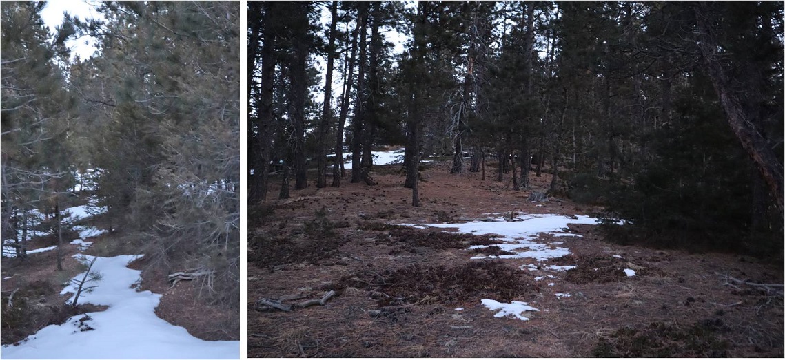
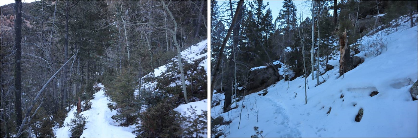
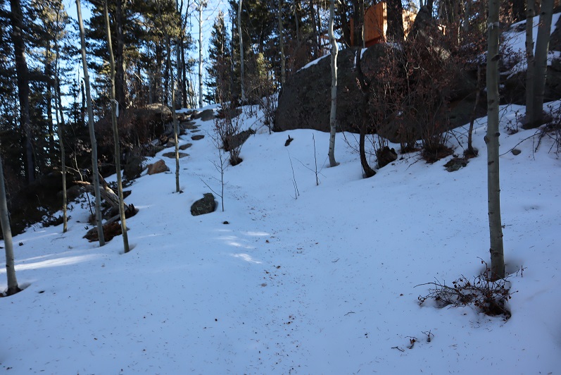
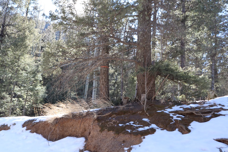
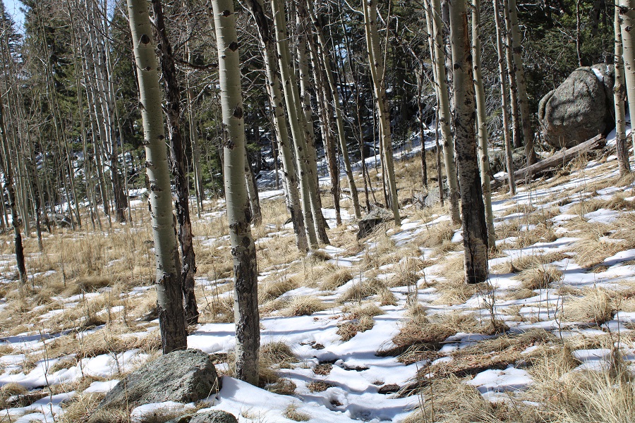
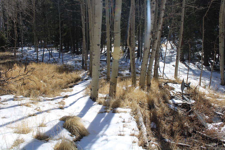
I continued following the trail north, through an aspen grove

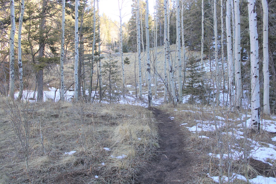
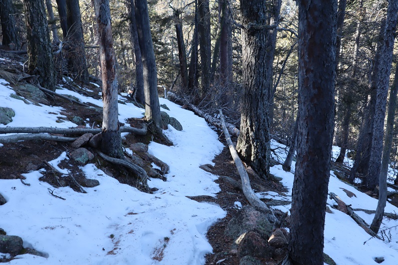
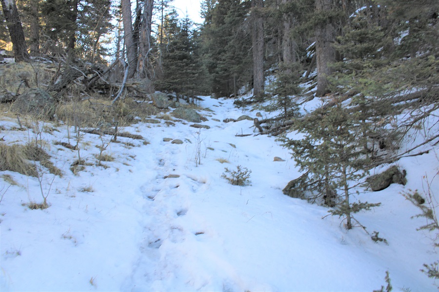
The snow on the trail started picking up, and would be present for the rest of the hike

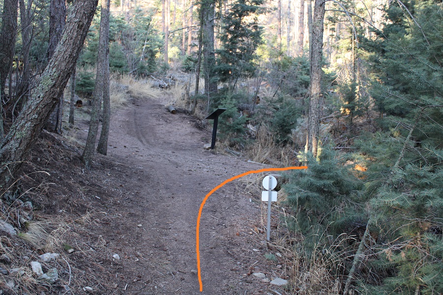
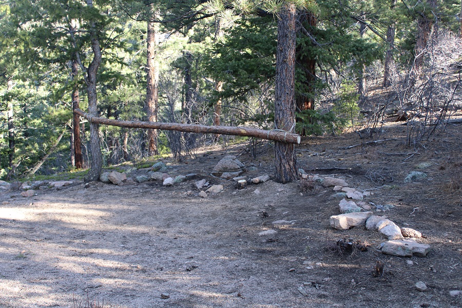
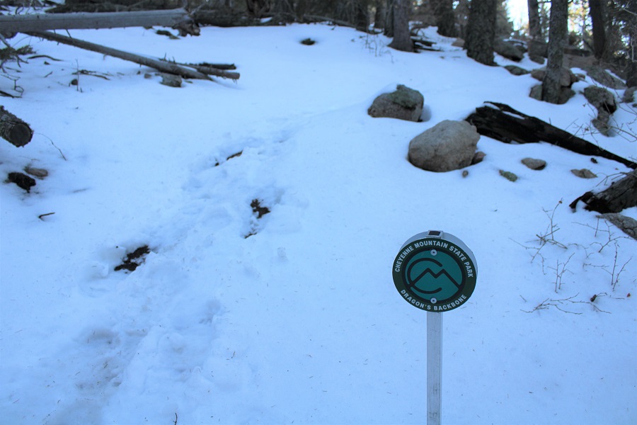
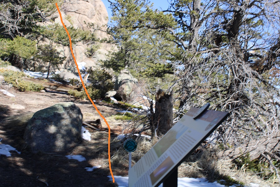
It was my goal today to take the Teal / Dragon’s Backbone trail.  Here’s the cutoff

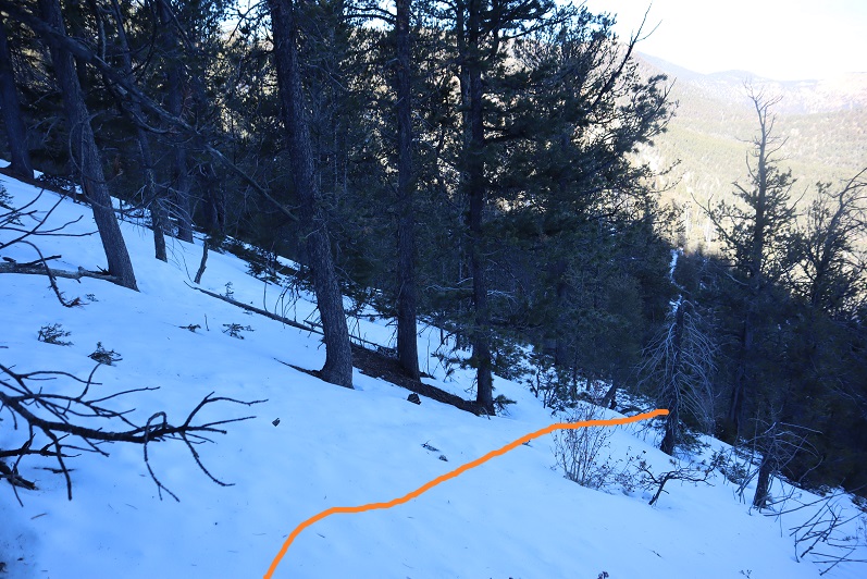
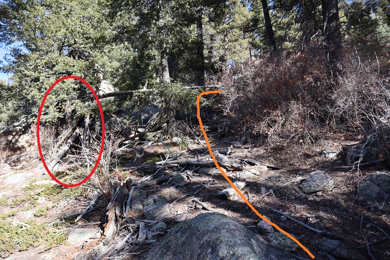
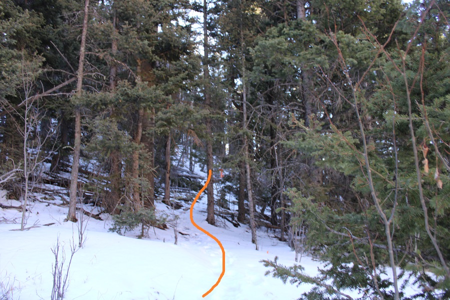
From here on out there were still signs, but there was also pink surveyor’s tape on the trees, making this an easy route to follow.

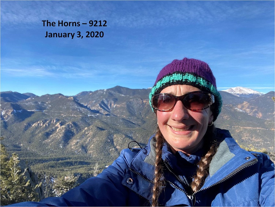
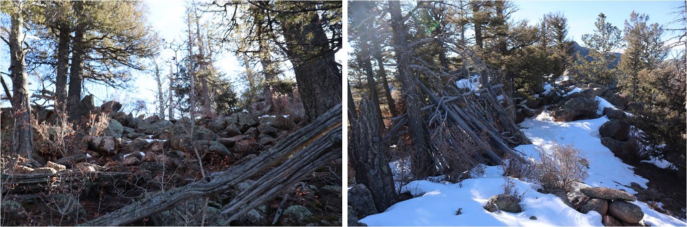
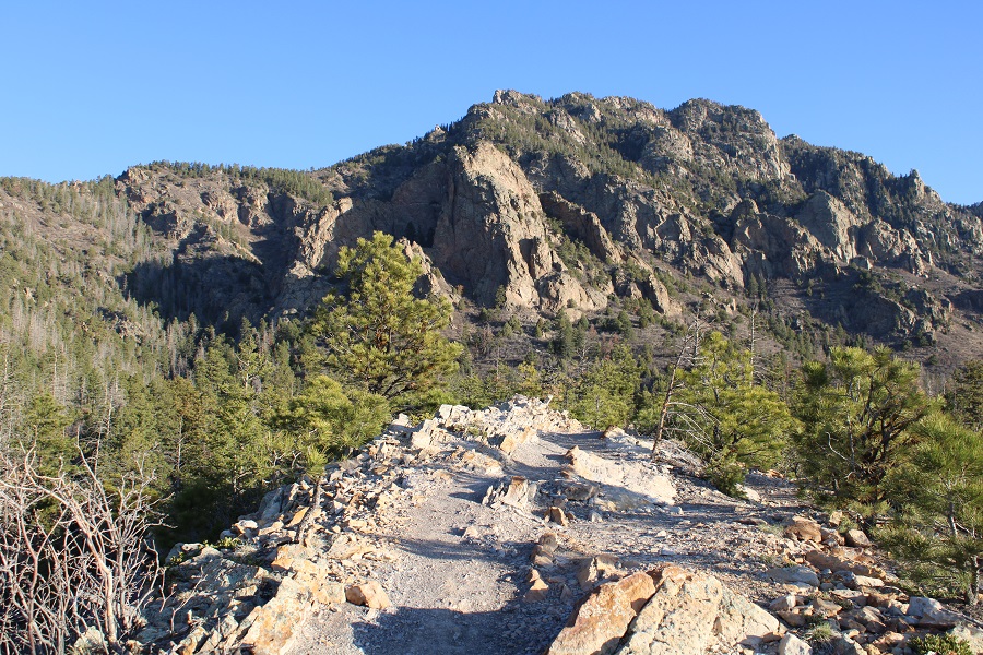
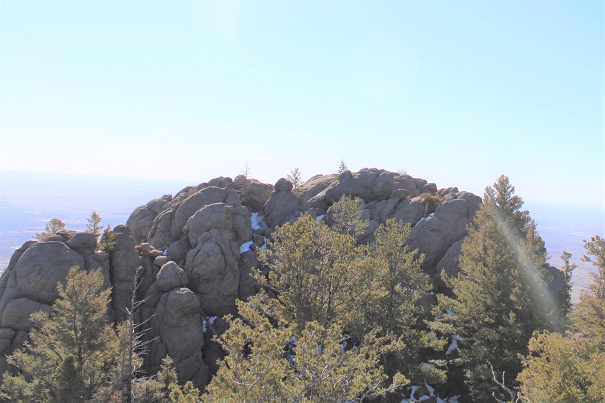
I gained the ridge and immediately came upon “Dragon’s Backbone”, an unranked peak

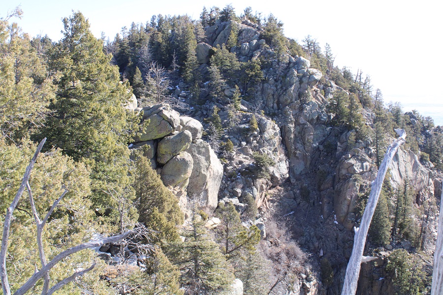
From there, I followed the ridge north, towards “Robbers Roost”, another unranked peak.  There was a trail the entire way, with signs and markers indicating the route.

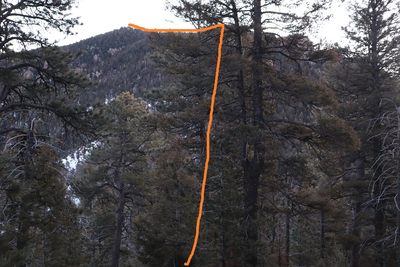
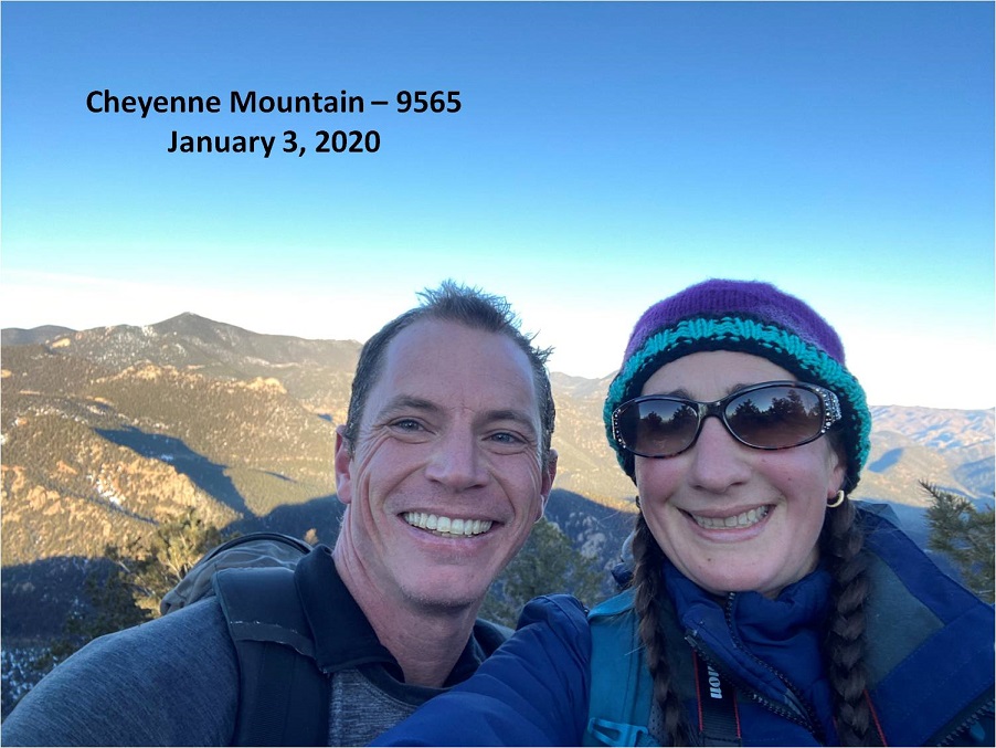
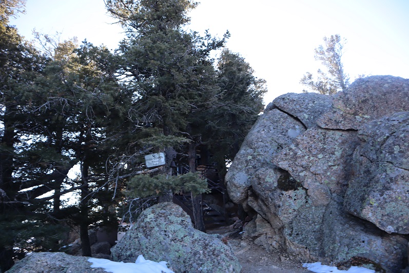
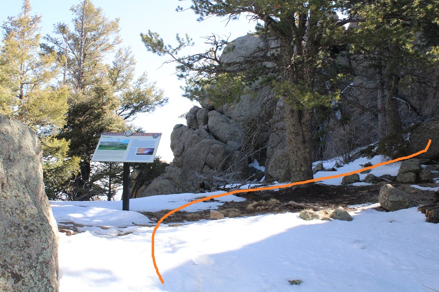
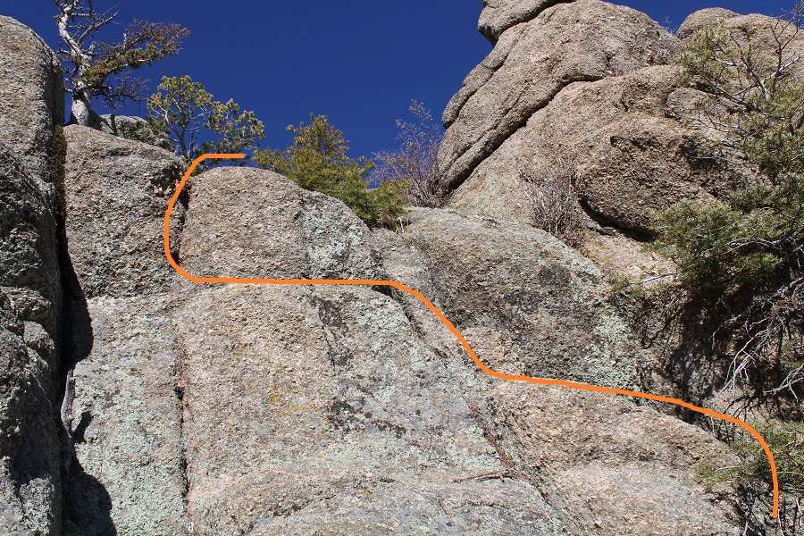
I came upon this sign (which talks about weather, lightening, etc.), turned east (right) and scrambled to the top.  I’d consider this a quick but committing class 4 scramble, especially with snow.
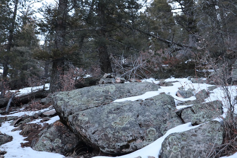
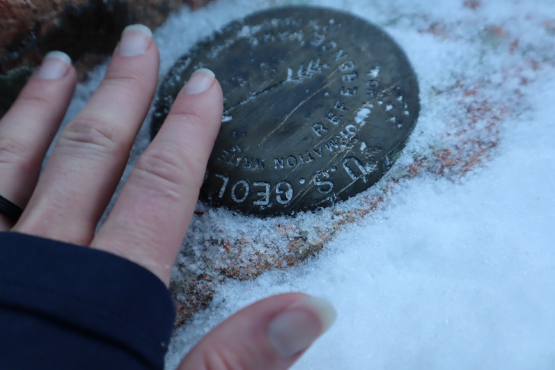
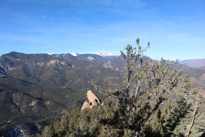
The top is flat

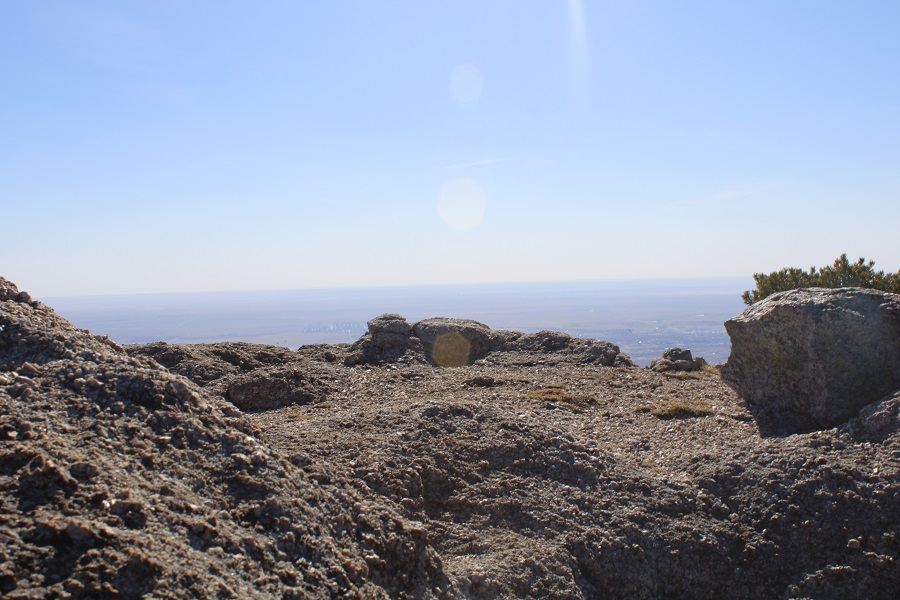
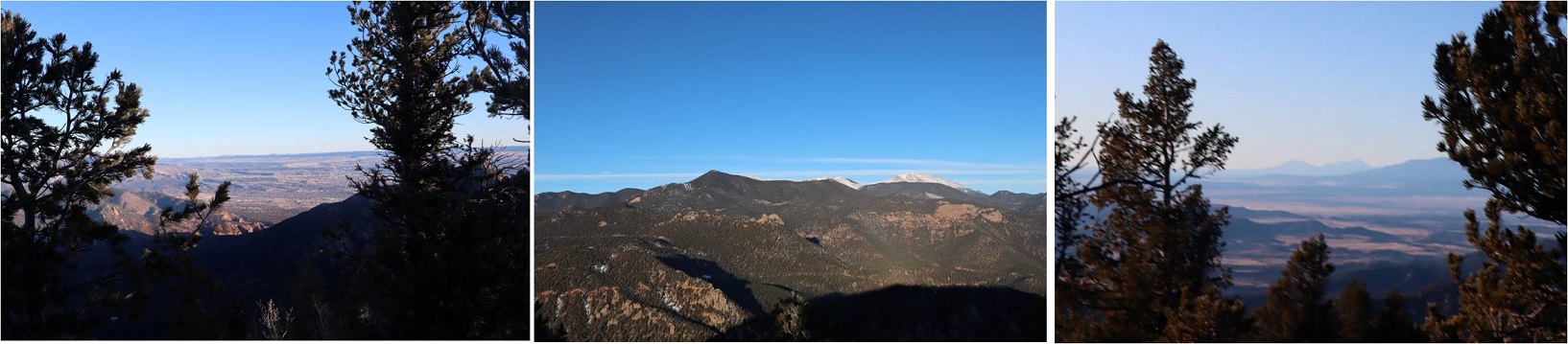
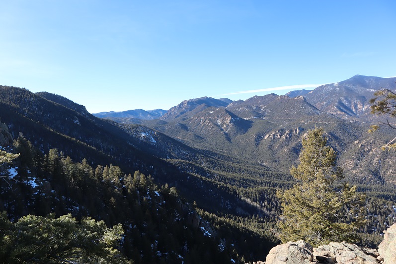
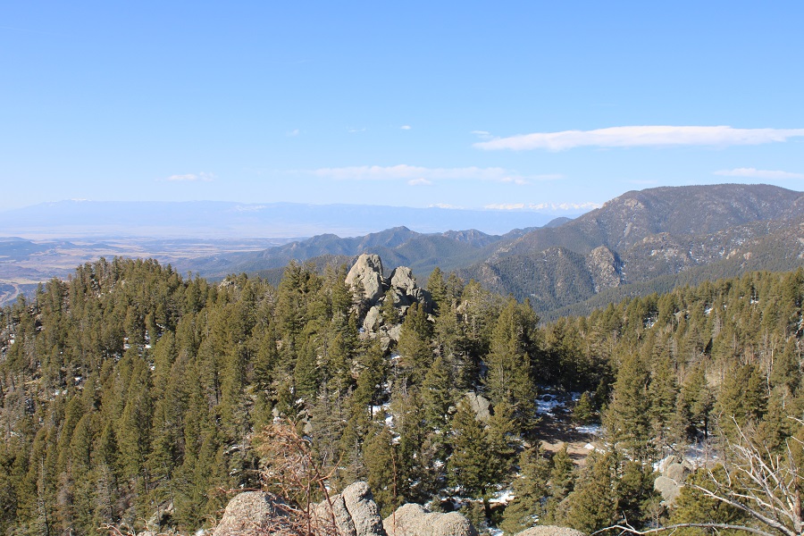
And has some great views!

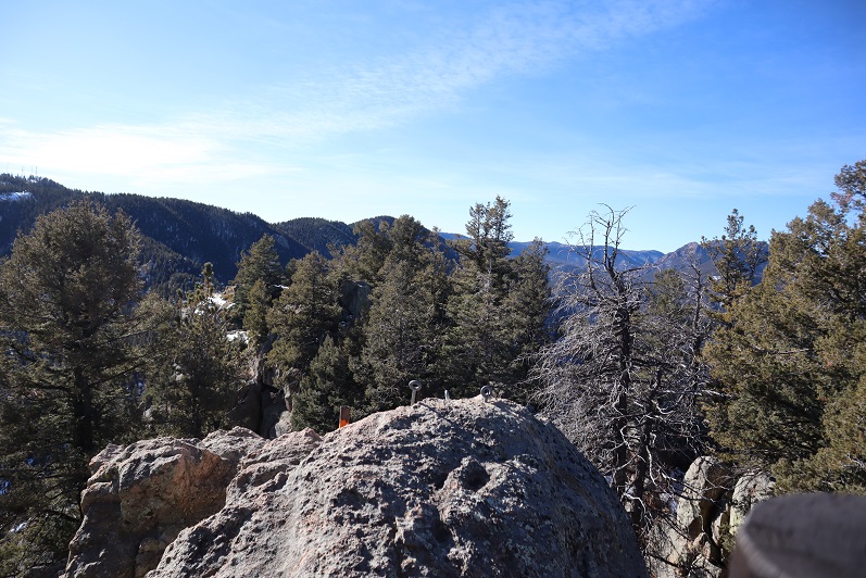
Here’s looking back on the Dragons Backbone Trail

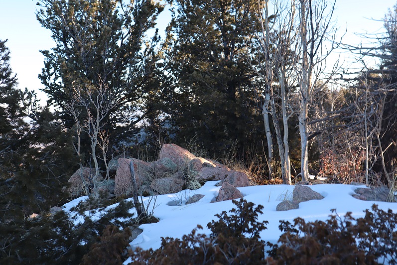
I climbed back down, grabbed my stashed gear (I hadn’t worn my pack for the short climb to the top) and decided to climb another outcropping to see if it was higher (it wasn’t). 

I did get a good view of “Robbers Roost” though

I climbed down and continued heading north on the trail, making this a loop.

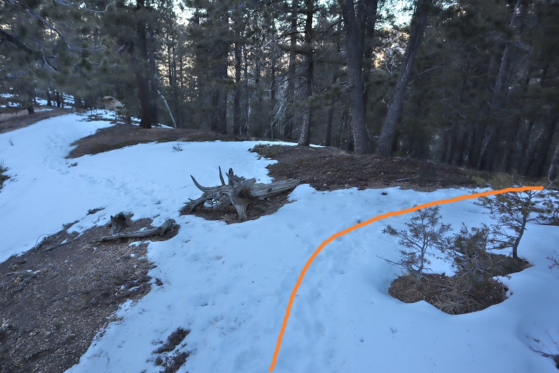
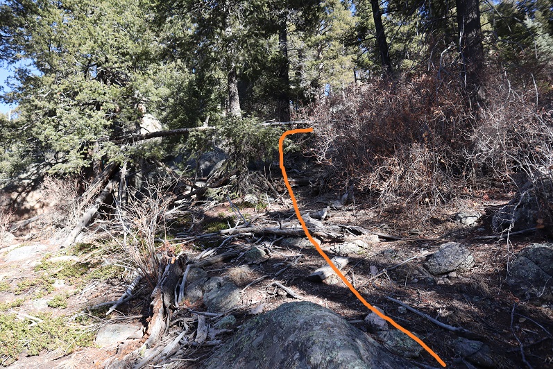
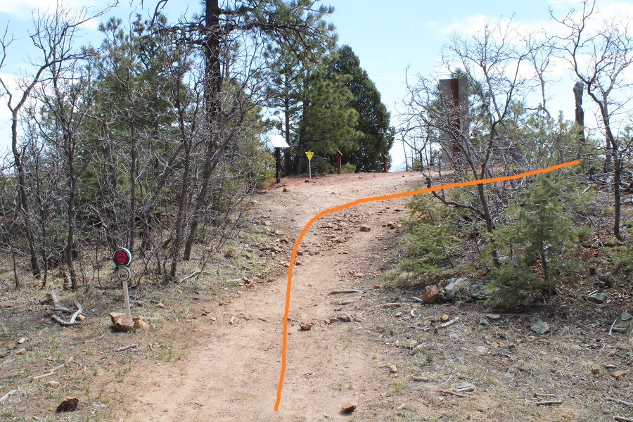
I decided to take the Orange / Mountain Loop Trail

This gave me a little extra elevation, and mileage

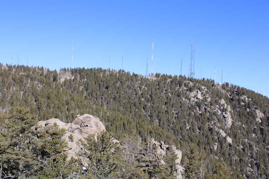
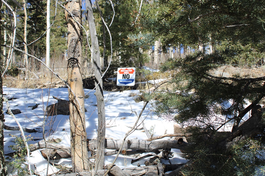
They obviously don’t want you going by any of the communications towers

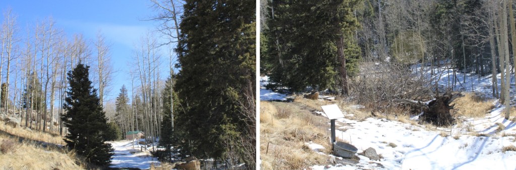
I circled back around to some aspens

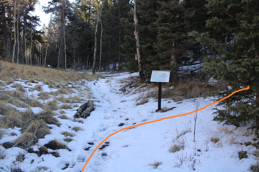
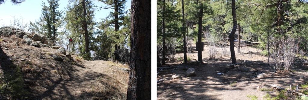
And the end of the Mountain Loop Trail, the beginning of the Dixon Trail (or end, depending on how you look at it) and the Dixon Homestead site.

I followed the Dixon Trail back to the crash site

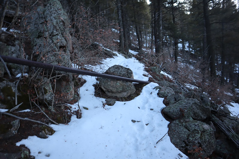
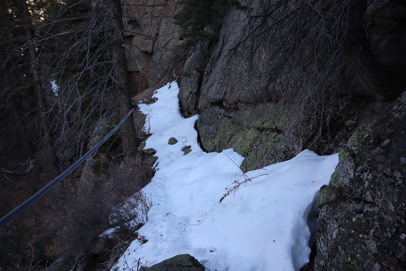
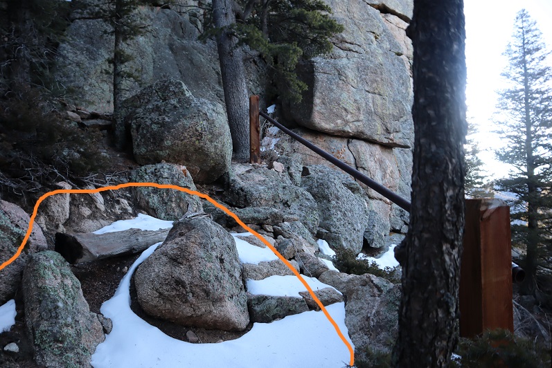
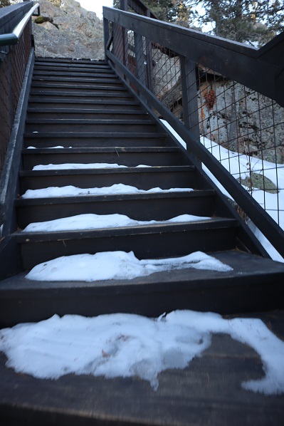
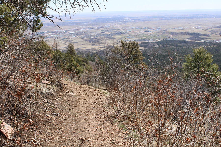
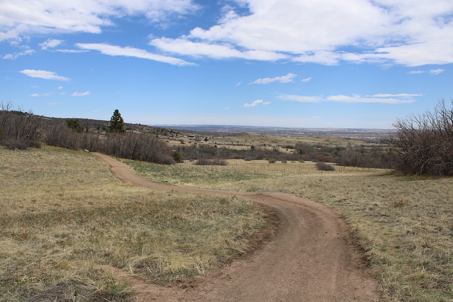
And continued following the Dixon Trail back the way I’d hiked in.  Here are some pictures of the way back

Then back to the green trail

And the yellow trail

I took the Yellow / Talon Trail back to the trailhead

I made it back to the (now full) trailhead at 12:30pm, making this a 17.42 mile hike with 4099’ of elevation gain in 6.5 hours

Cheyenne Mountain – 9565, The Horns – 9212 & Sugarloaf Mountain – 9633

1

RT Length: 10.5 miles

Elevation Gain: 4712’

Time: 6 hours 15 min

Partner: Steffen


With the weather iffy in the high country I decided to tackle one of my 2020 goals early: climb 3 El Paso County Highpoints.  Steffen is training to hike 14ers this year so I invited him to go along.  Before heading out I used Caltopo to make a route of the drive in, not being sure just how Old Stage Road would look this time of year.  It ended up being almost completely clear of snow.  I parked near the stables.

2

Cheyenne Mountain 9565’:

Just to clarify, we summited the highpoint of Cheyenne Mountain. There have been articles written and news posts stating the Dixon Trail goes to the top of Cheyenne Mountain:  It doesn’t.  The Dixon Trail goes through Cheyenne Mountain State Park and up the side of the east side of the Cheyenne Mountain range near the communication towers, but it doesn’t summit anything, and in fact if you were to go off trail and scramble to the top of Robbers Roost you’d still be over 100 feet shy and about a mile of bushwhacking away from the true summit of Cheyenne Mountain.  Here’s topo proof:  On the left is the true summit of Cheyenne Mountain, and on the right is where the Dixon Trail takes you.

3

In any event, at 6:30am it was 14 degrees outside when we donned our gear (microspikes) and headed east over a snow bank and up the mountainside, dipping about 200 feet before starting the ascent.

4

5

This hike was entirely below treeline with no distinct trail so we just aimed for the ridge and ascended the mountain on its west side. The ground had many dry spots but we tried to stick to the snow as much as possible so we’d see our footprints upon our return.

6

About three quarters of the way up the mountain we started running into cairns and surveyors tape, which was a nice surprise (until they stopped). We also found some bear scat that looked to be from last fall.  This seemed a good area to find a bear.

7
Once on the ridge we came across some mountain lion tracks that looked to be a few days old.  This area also seemed like a good place for a mountain lion to den, with a lot of large rocks and boulders to hide in.  We followed the ridge left (north) to the summit.

8

Once at the summit we found a summit marker! This was cool because it was totally unexpected.

9

Our summit views included Colorado Springs, Almagre with Pikes Peak, and The Spanish Peaks

10

Summit Picture

11

There was about 6 inches of snow on the ground towards the top so we followed our tracks back down the ridge

12

Cheyenne Mountain wasn’t our only goal for today, and after looking at a topo map we didn’t want to re-ascend the hill that led back to the parking area. We decided to traverse the north side of the mountain instead. There was more snow on the north side and we were frequently knee deep in powder

13

But after just a few minutes we came across the MacNeill trail, and check it out: it had tracks!

The Horns 9212’:

This was awesome! We just followed the class 1 trail as it curved northeast around the mountainside

14

It can be tempting at times to veer off trail, so be sure to stick to the side of the mountain. There were downed trees everywhere.  There is also a lot of up and down, meaning you’ll gain elevation on the way out as well.

15

We came across an old water pump and frozen waterfall/stream

16

There were broken pipes littering the trail from here just about up to the summit, as well as varying depths of snow. We kept our microspikes on.

17

We made it to the top of the ridge and now lost elevation as the trail continued on the east side of the mountain and then snaked back to the west side. Here’s where the tracks ended, but luckily the trail was still easy to follow.  There was more snow on the east side.

18

The trail snaked back around to the left (west side) and into an area filled with boulders. There was one spot that was tricky to pass due to the snow, but with the help of microspikes and trekking poles it wasn’t too bad. I didn’t touch the pipe.

19

We continued on the trail as it once again curved east around the mountainside

20

And came across a trail sign

21

We followed the trail towards what looked most likely to be the summit on top of a rocky area

22

23

We came across cabins, which I wasn’t prepared for. There wasn’t a camp on my topo map (Pikes Peak Atlas).  It didn’t look like anyone was at camp today so we continued on towards the highest point, which seemed to be up these stairs

24

At the top of the stairs was a large boulder and what looked to be a fire tower.

25

We climbed the boulder carefully (class 3) and looked around. It seemed this was the summit, so we took a few pictures.  There was a puddle of ice over what we assumed was the summit marker (if there was one?)

26

27

As we looked around it was unclear if we were at the true summit or if the rock about 15 meet away but near the cabin was the true summit, so we downclimbed and walked up the stairs of the fire tower. This was referred to as “The Horns” so it made sense there were two rocks.

28

The points looked to be about even, with the one on the north maybe just a little higher? It was here we noticed the security cameras.  There were many and although we weren’t doing anything wrong we decided to leave.  From the tower we could tell this place was bigger than we’d thought (later we realized this is “Cloud Camp” owned by the Broadmoor).

29

Time to head back down. The boulders here really look fun to climb/rappel.

30

We hiked along the MacNeill trail for a little ways and suddenly came across a small wooden gate in the middle of the trail. Why hadn’t we seen this before?  We walked around a bit and realized the gate had a sign that said “Trail Closed”

31

Whoops! Due to the switchbacks and amount of snow we’d never even seen the sign!  Check this out:  this is the way we hiked in, and the red circle is where the sign is located

32

As you can see, from the trail going to the summit the gate closure isn’t obvious, but on the way back down or from a different angle you can see it perfectly. In fact, you run into it.

33

I’m not sure about the legalities here, but it seems they don’t want the public highpointing on their property. They need to work on the placement of their signage if this is the case.  This was the only sign we saw.

We continued to head back down and got a good glimpse of the fire tower (a fire tower wasn’t on my topo either?)

34

There was also a good view of our way in/back out

35

And of Pikes Peak (etc). I had fun naming all of the summits from here…

36

On the way back we decided to follow the footprints on the trail instead of our tracks back the way we’d come (if we could avoid it we didn’t want to re-ascend the hill). This ended up being a great idea and in no time at all we could see Old Stage Road and my truck. This trail ended just where we’d began, it just went more north than east (the way we’d begun)

37

We made it to my truck at around 12:30pm, but our day wasn’t over yet.

Sugarloaf Mountain 9633’:

Without taking off our gear we drove further along Old Stage Road and parked directly at the base of Sugarloaf Mountain.

38

It looked like a quick hike to the top of this El Paso County Highpoint, so we headed off into the trees, starting at the surveyors tape tied around a pine.

39

If there was a trail here it was covered in snow, so we just trekked south, straight up the hillside. This area was steeper, covered in more snow, and more heavily treed than the other mountains had been today. Downed trees made the trek ‘fun’

40

When we were about 30 yards from the summit we came across a trail, which started from the opposite side of the mountain (south) and worked north. We hadn’t taken this established trail because I believed it started on Private Property (but couldn’t be sure).  In any event, I didn’t want to push my luck.

41

We came across a rocky area and a wiki-up

42

And quickly found ourselves at the summit. It had totally been worth adding the extra peak: In total it only added about a mile to the day.

43

There wasn’t a summit marker or registry, but we were sure we were at the summit.

44

45

We once again followed our tracks back down, Steffen aspen tipping along the way

46

We made it back down to my truck at 1:20pm, making this a 10.5 mile hike with 4712’ of elevation gain in just over 6 hours.

47