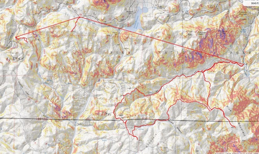
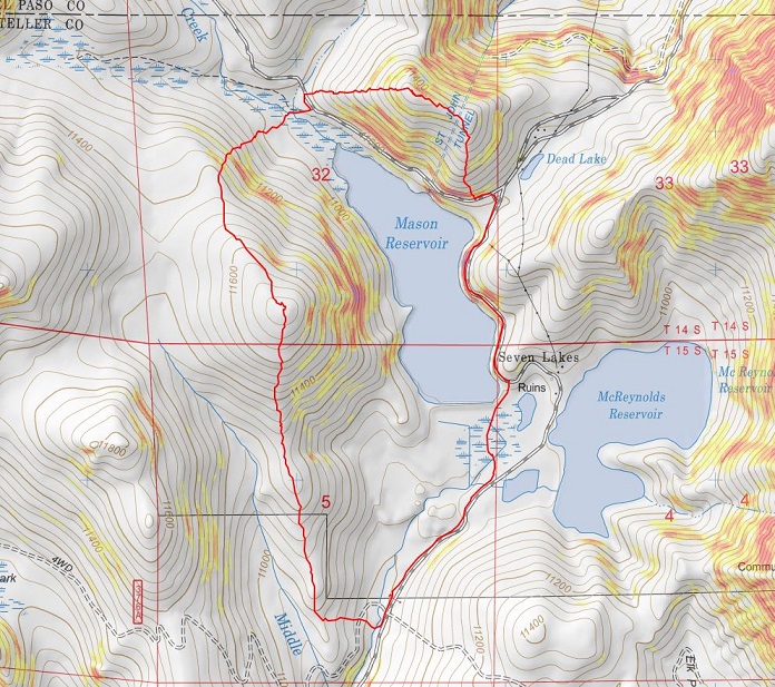
Rhyolite Mountain – 10,780’

1

RT Length: .75 miles
Elevation Gain: 473’

I’ll apologize in advance for the fuzzy and cloudy pictures: I’ve had my mirrorless camera since October, and it still confuses me. I’m not sure why these photos aren’t clear, but I think they’re good enough to get the point across. Also, don’t buy a mirrorless camera.

After our failed attempt on Bull Mountain this afternoon and not even being able to attempt to summit Cow Mountain and friends this morning, we were keen on a summit. But it seemed luck was against us! The roads that were present on CalTopo were not where they were supposed to be, and the road we found had private property signs. (Notice the road on the topo map below that goes on the west side of Rhyolite looks doable, but that road doesn’t exist, or at least, the connecting roads don’t line up). We stopped at the sign that said “Keep Out” and parked on the side of the road and looked at our map. We were less than a mile from the summit and decided to skirt the private property as best we could and head up. We noticed there was a “for sale” sign and decided to head up through the property that was for sale instead of hiking through the private property signs.

2

This hike is quick, and only required us to keep heading west, first through some grass and juniper

3

4

And then we came across the road we’d been on previously (but stopped due to the no trespassing signs). We crossed the road, careful not to take it through another set of no trespassing signs.

5

6

We kept heading west, this time through trees, being careful to straddle markers indicating boarder lines

7

8

After .35 miles we came to a rocky area and climbed straight up

9

The boulders/rocks here were loose and we were careful not to upset any of them. At the top of this rocky area there was a new microwave tower. So new we could still see the shavings from when they placed it there.

10

This wasn’t the summit however. We continued west over a boulder filled ridge towards the highpoint.

11

We found a benchmark along the way

12

And some printing on rocks we couldn’t read

13

We left a summit register at the summit

14

We had great views of Bull Hill (the mountain we’d just attempted) and tried to visually see a way to hike it without traversing on mining property. I think I figured a way out, but will need to do more research. We had a cool view of the back side of Pikes Peak

15

We headed back down the way we’d came, being careful not to trespass on private property

16

17

Here’s a topo map of our route

18

Since the road had been narrow and I didn’t want to drive through private property I backed my truck all the way down the road and turned around at the bottom. On our drive in we noticed the trails we’d intended to take tomorrow were blocked off by private property/ no trespassing signs and locked gates, so we were going to need another alternate plan. It’s clear Teller County highpoints are going to be frustrating!!! Everything’s on private land!

We drove to where we could find cell service (Victor) to look up alternate routes, and also to see if there was any way we could find routes for the peaks we’d attempted today but couldn’t summit due to blocked gates. We were unable to find alternate routes at this time, and in the end decided to head back to the campsite we’d occupied last night, hoping it would still be available, and instead hike closer to home.
We saw a Teller County Sheriff patrolling the road as we drove through. We headed back through the tunnel

19

And all the way back to our campsite. Check it out: No one was there! We reclaimed our site and started a fire. Steffen was upset to see the large rock he’d dug out last night was gone (he’d wanted it to put in his garden). I relaxed while we made dinner and set up for tomorrow. I planned on setting out all necessary items tonight and adding another sleeping bag to the bed (I had another one in my truck). I noticed my truck topper was loose (the road had been rough) so we re-tightened it.

20

I also put together some trip notes from the day: it had been a log day full of disappointments and summits and highs and lows.

21

We ate Ramen and Elk Sausage and cheese and bacon and went to bed early. Before going to bed we lit the heater for about 5 minutes, until it burned one of the lights and I was worried the fiberglass would start to melt. That made it warm enough to last the whole night however.

We were woken up twice during the night: once at 10:30pm to a couple of kids shining lights into our windows. Of course they couldn’t see inside because I had blackout curtains, but I thought it was dumb of them to try. Both of use were prepared to scare them off if they tried to open any doors/throw any rocks. Stupid kids: we camp with guns. Luckily self defense wasn’t necessary.

The second time was around 2am when someone drove in blaring their music. I guess this is a popular spot? Well, two cars on a Friday night actually isn’t all that bad… and the view is incredible, so I totally understand!

Covid Peak – 11749 and Corona Peak – 11510

1
RT Length: 5 miles
Elevation Gain: 1654’

I know these peaks are NOT named Covid and Corona, but they don’t actually have names, and these seemed appropriate. Also, I don’t expect these to become permanent names, as I know naming a peak is a process.

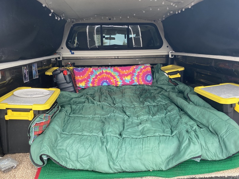
The story of these peaks actually begins a few months ago, when I ordered a topper for my truck. I ordered this topper weeks before the stay at home orders, but due to the Coronavirus scare it was slow to arrive. Very slow. Finally, this week it came in and I was able to have it put on. I spent the next few days sprucing it up, adding a mattress, blankets, pillows, and storage containers with necessities (food, cooking gear, toiletries, etc.). I added the curtains and lights. I was pleased with the setup.

2

We made it to the spot we planned to spend the night early, and had elk sausage and baked potatoes for dinner, heated over a fire.

3

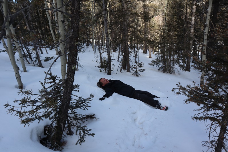
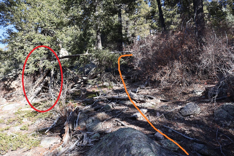
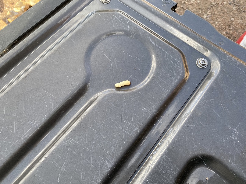
We found a grub in some firewood. I wanted to eat it, but it slipped into the fire…

4

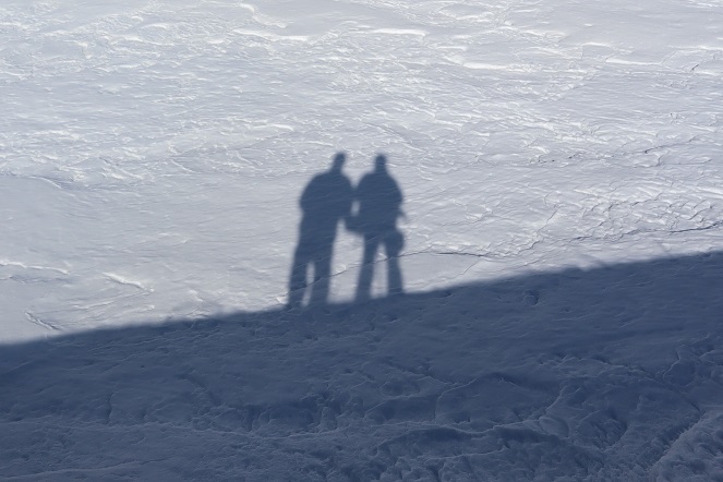
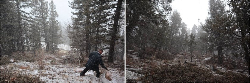
We cleaned up and waited for the sun to set. And waited. And waited. Steffen dug out some rhyolite rocks with my ice axe and I just relaxed and waited for the sun to set.

5

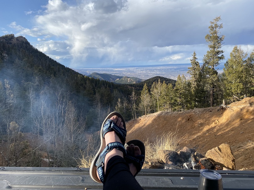
But it just didn’t seem to want to set! I wanted to see the city lights before going to bed. It took me way too long to realize we’d be getting up in the dark anyways, and I’d see them soon enough. I decided to err on the side of sleep and see them in the morning.
Lessons learned during the night:
• 4 blankets/sleeping bags aren’t enough for 25* weather
• Wear a hat and jacket and gloves to bed
• The metal on the side of the truck is cold
• Set out everything you need for the morning before you go to bed (clothes, food, toothbrush, etc)

OK, so it wasn’t as warm as I’d anticipated, but that’s why we were doing this the first time close to home, to figure this kind of stuff out.

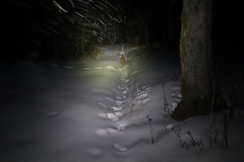
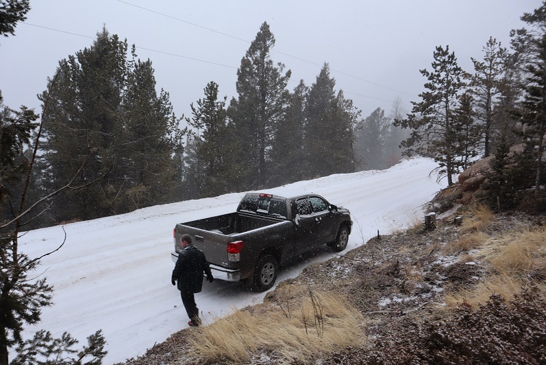
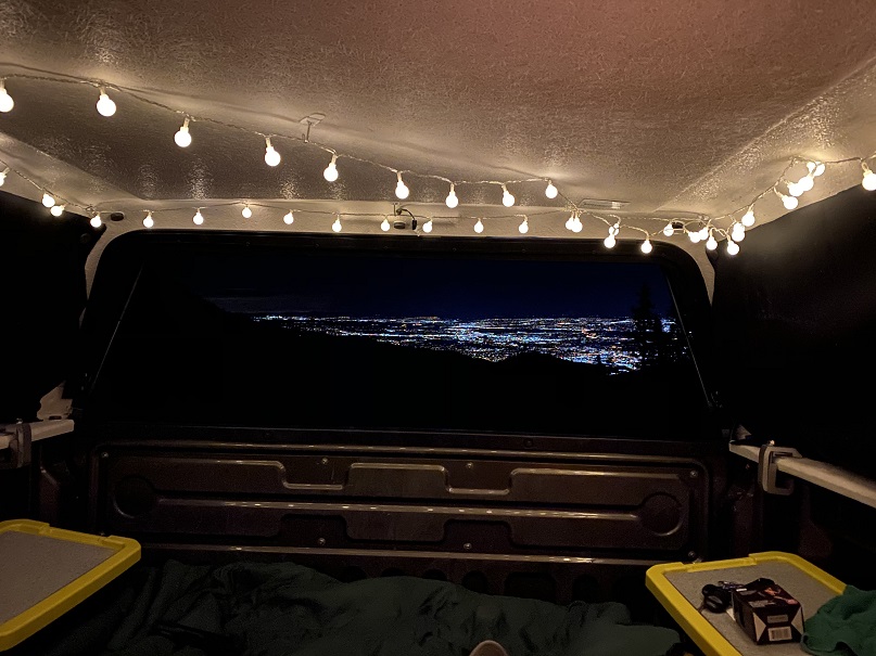
My alarm went off at 4:30am and I didn’t want to get up. It had snowed a bit overnight. I wasn’t warm, but I didn’t want to give up the covers either. Eventually the need to pee won and I got up. We decided to drive to the trailhead with the heater running in the truck and warm up, then have breakfast/coffee in the truck before heading out for our hike. Oh, and the lights were indeed beautiful!

6

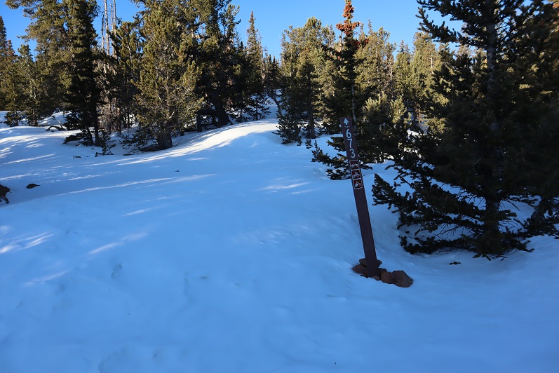
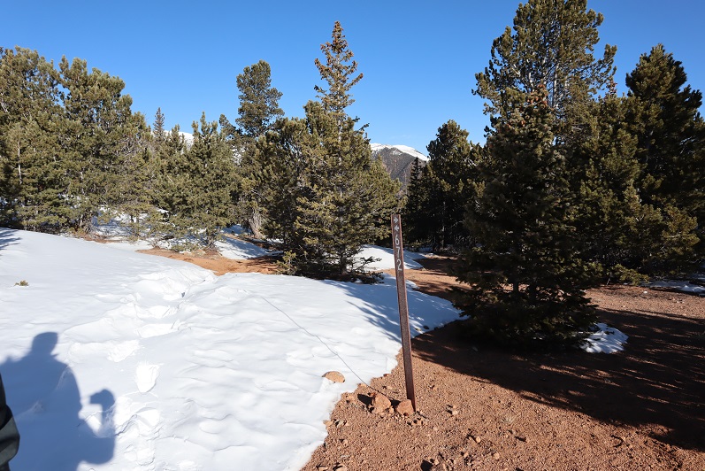
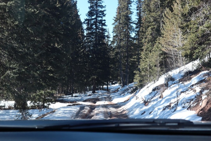
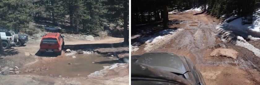
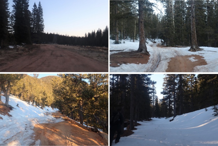
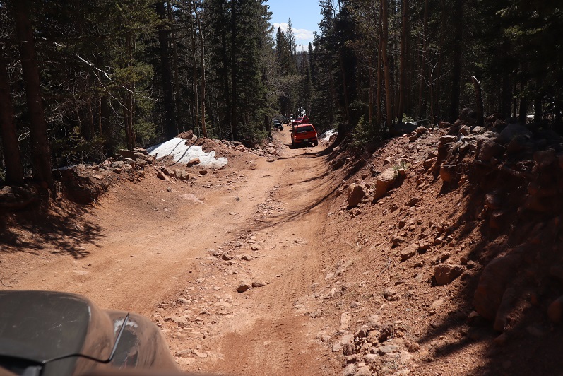
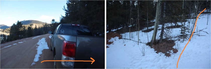
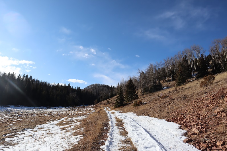
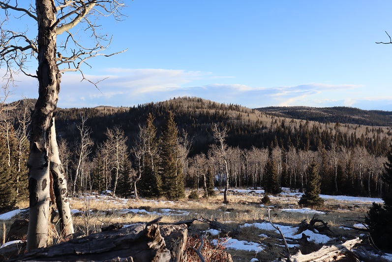
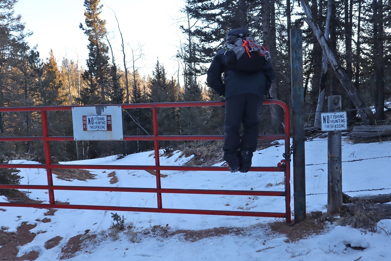
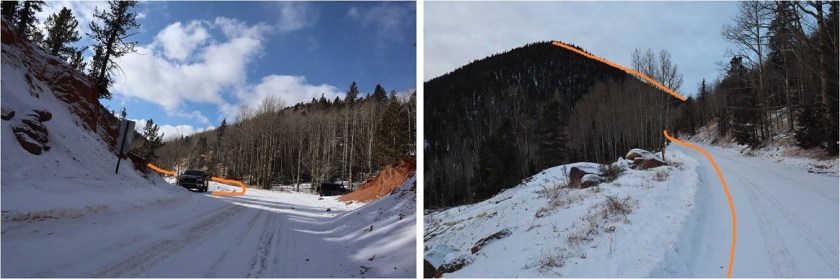
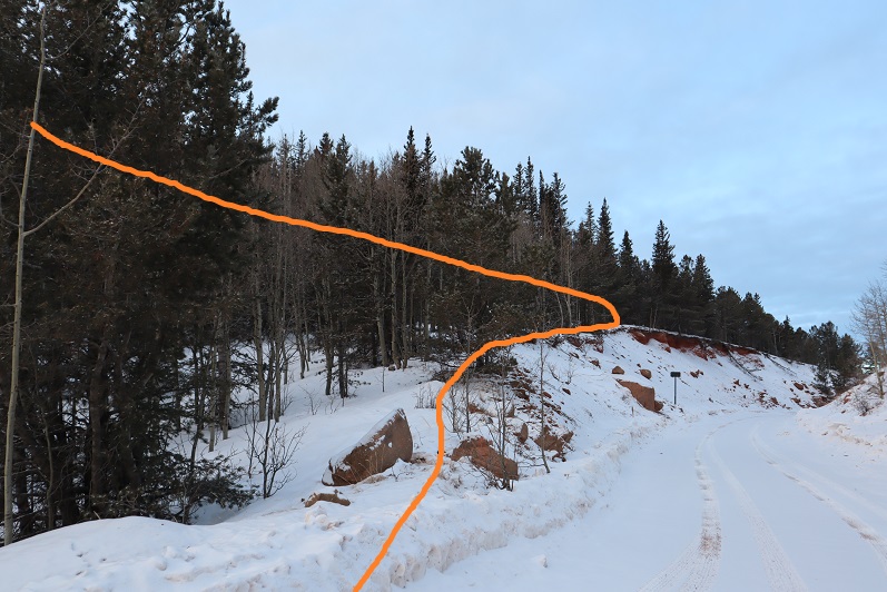
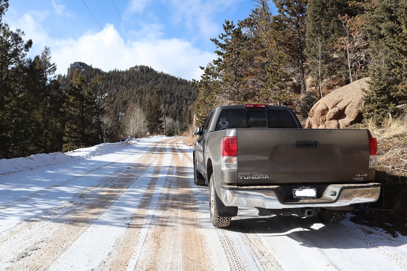
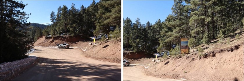
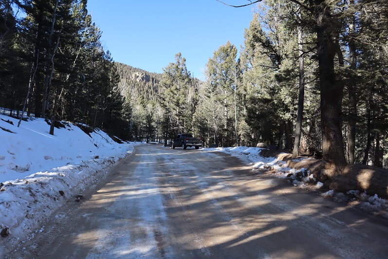
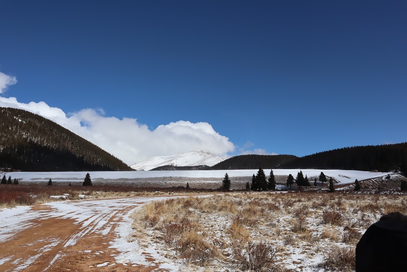
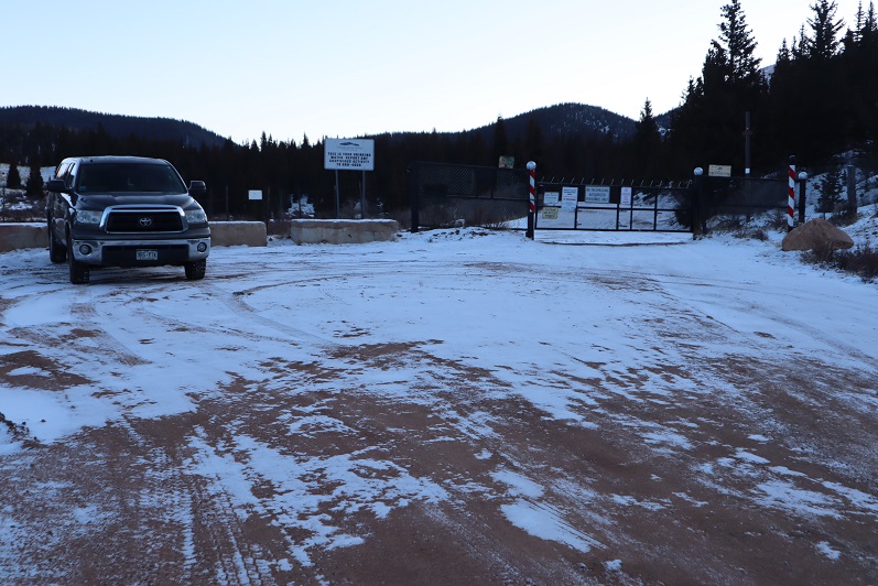
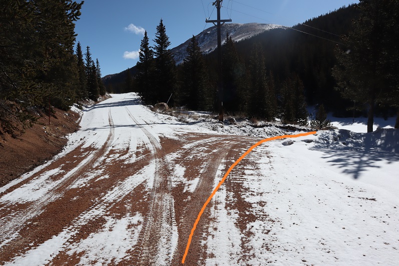
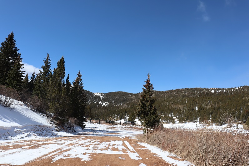
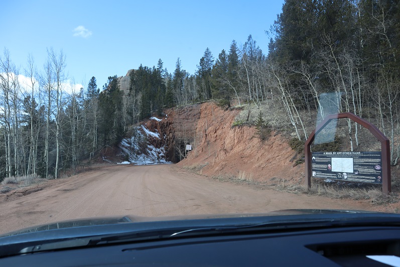
We made it to the Mason Reservoir trailhead, parked, and made breakfast. We were on the trail by 6:30am. To be fair, the drive took us over an hour (Old Stage Road is in need of repair!!!)

7

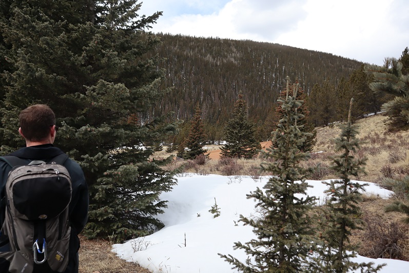
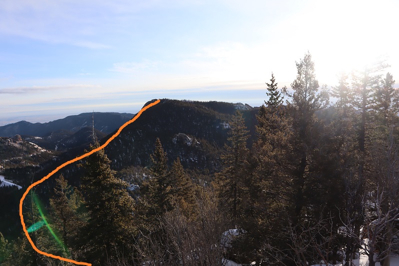
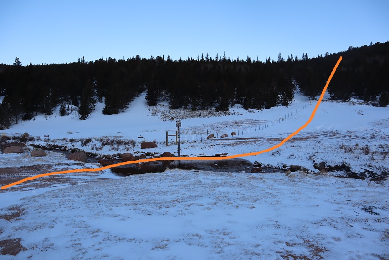
We did not head towards the reservoir but instead went west

8

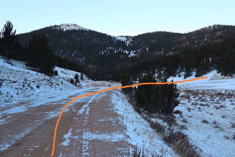
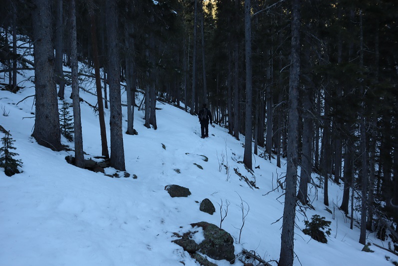
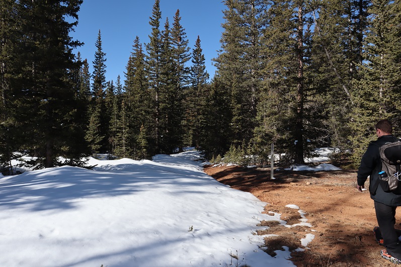
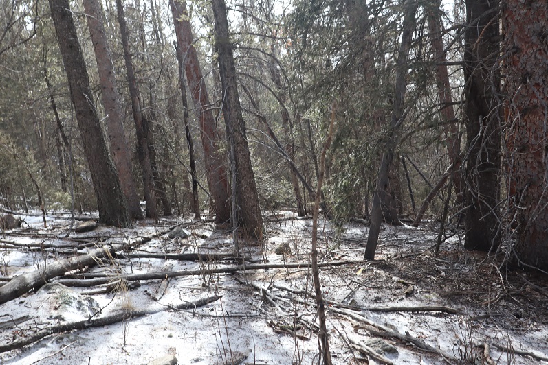
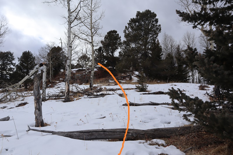
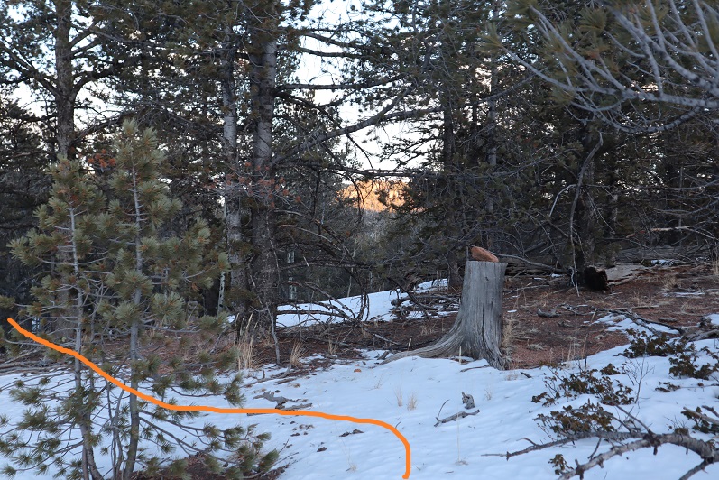
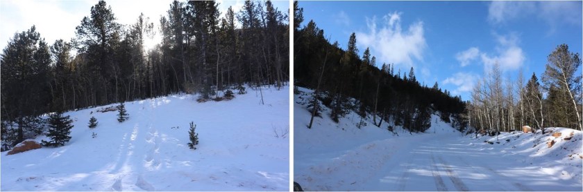
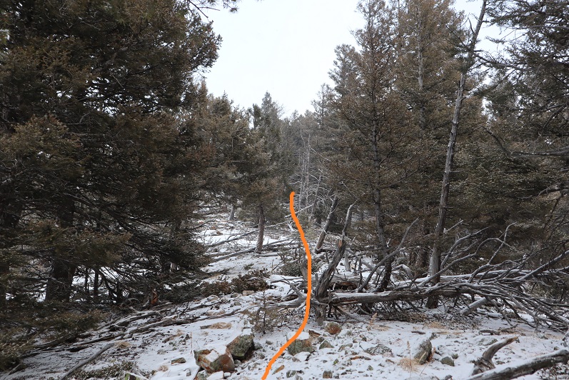
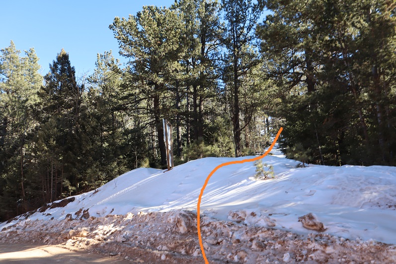
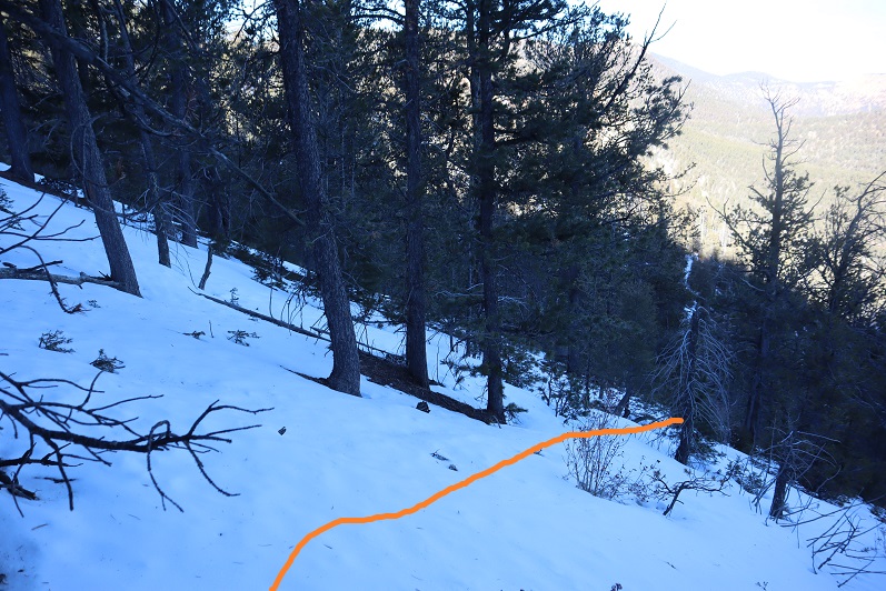
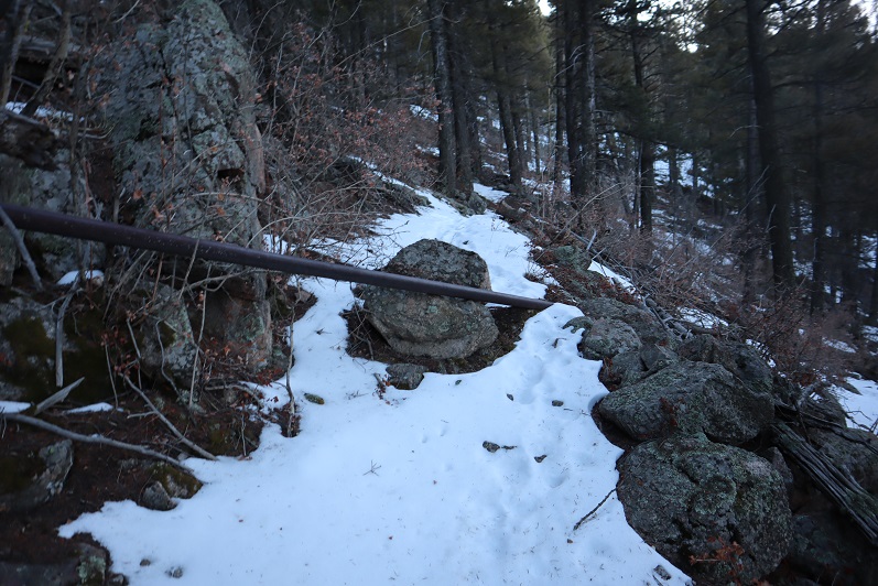
Crossing a creek and heading up the mountainside to the ridge

9

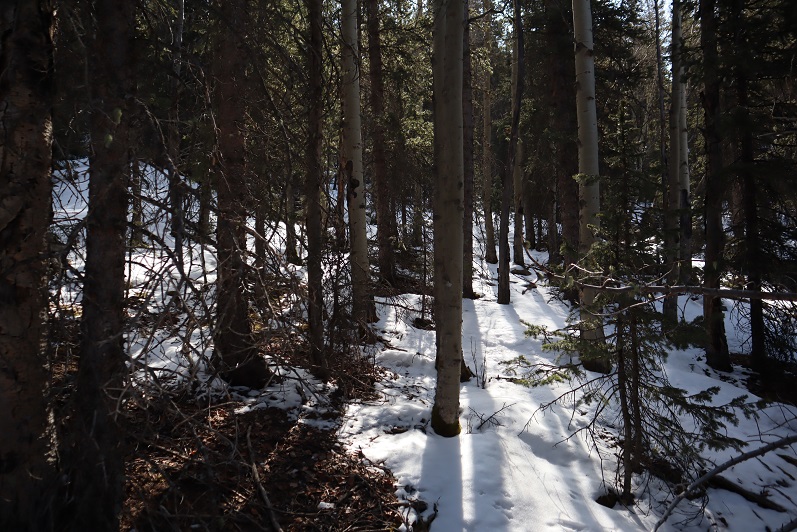
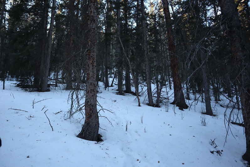
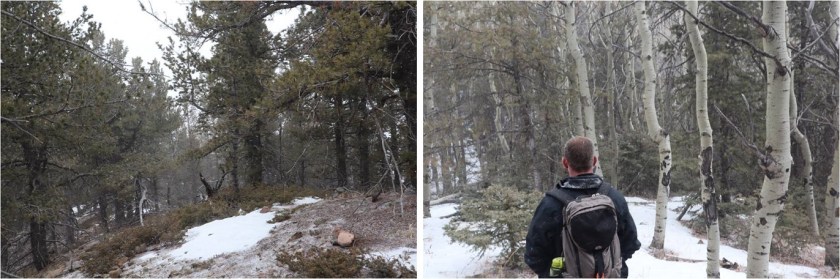
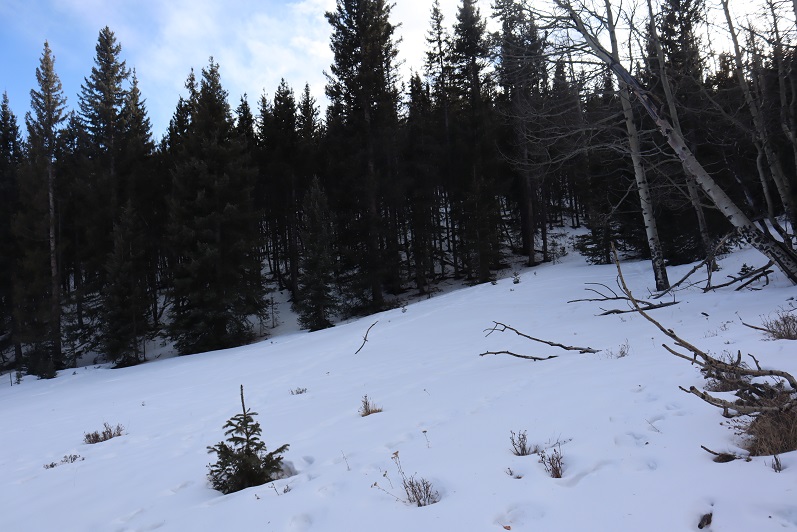
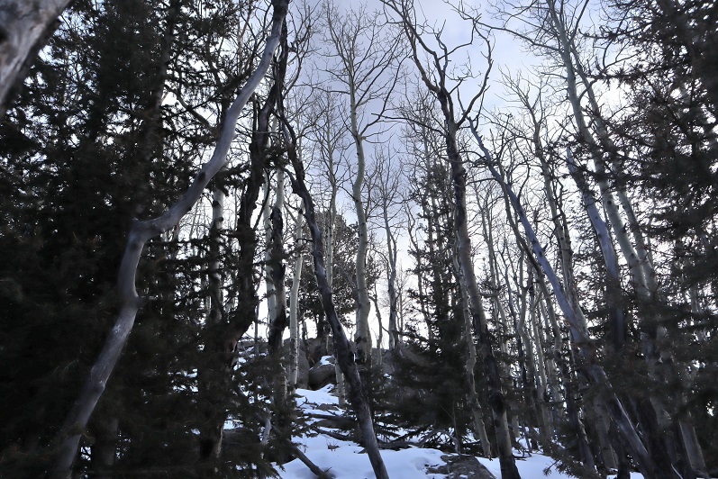
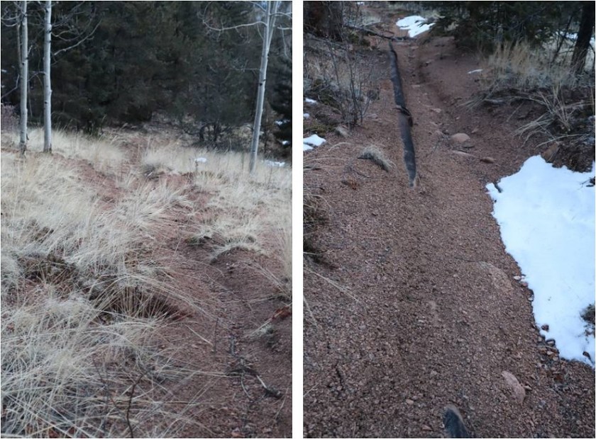
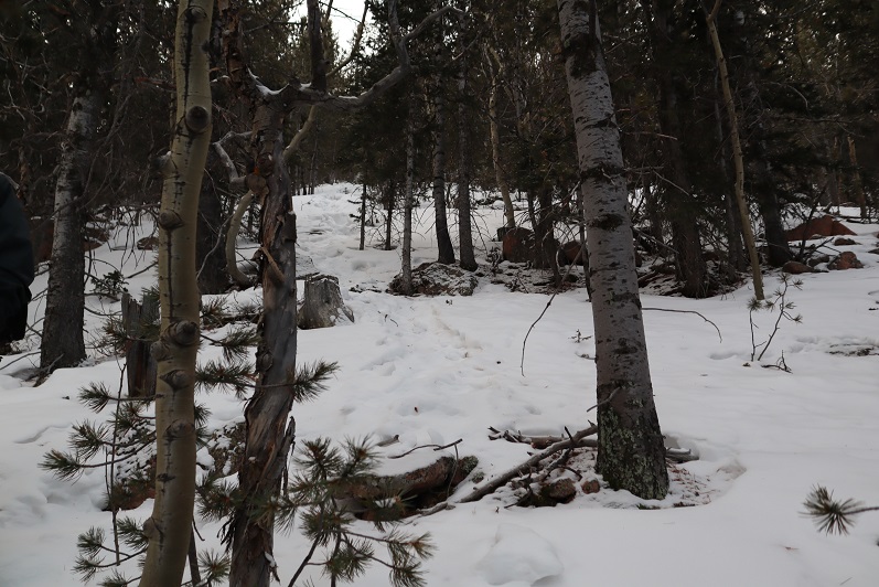
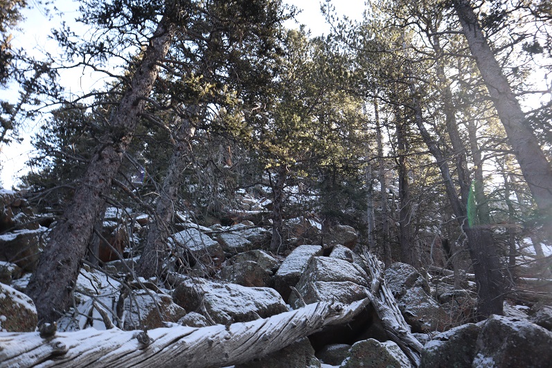
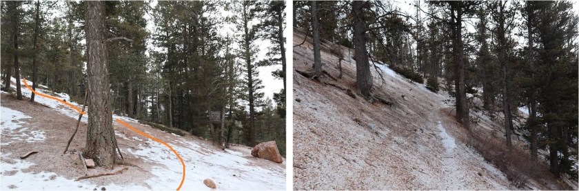
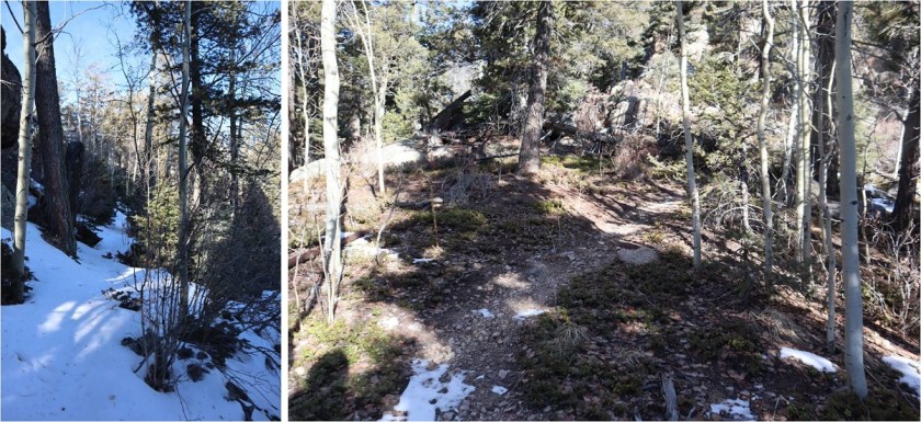
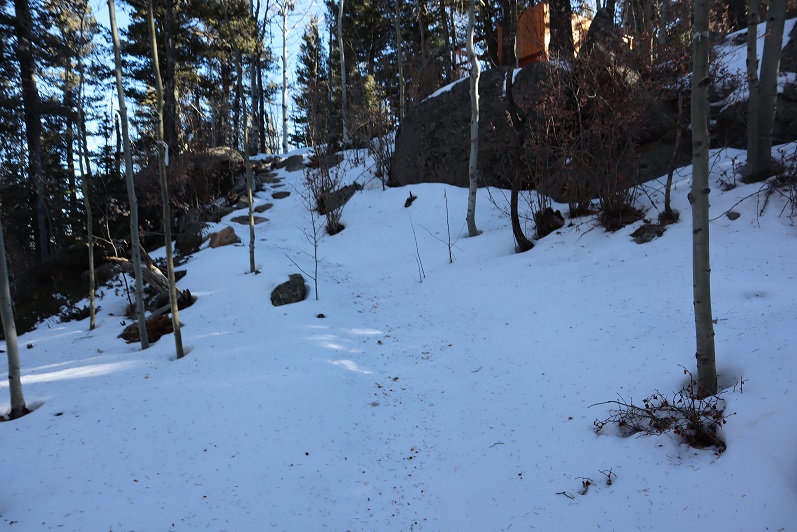
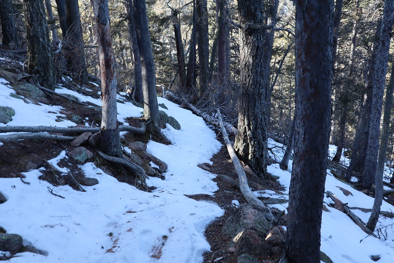
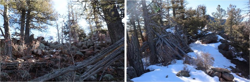
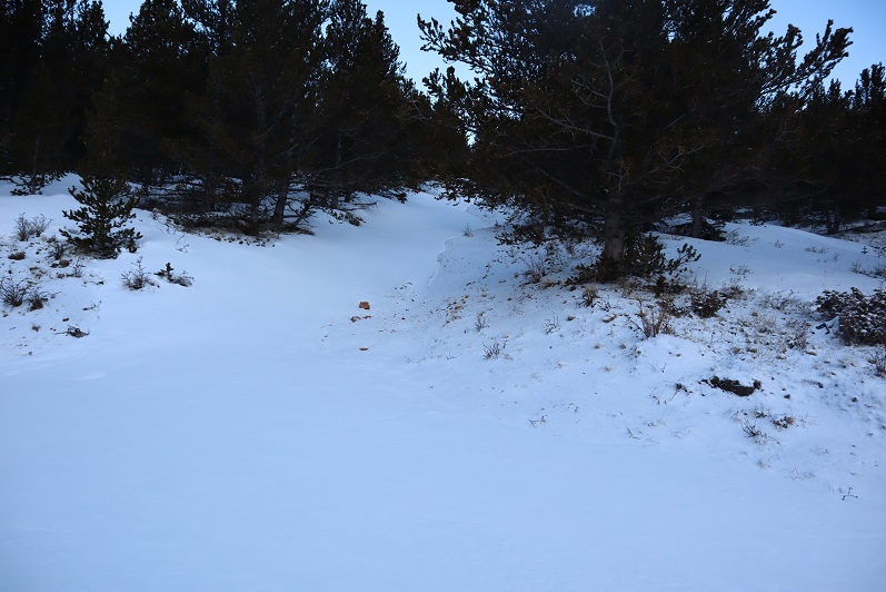
In the beginning it looked like there might actually be a trail, but we soon lost it in the snow

10

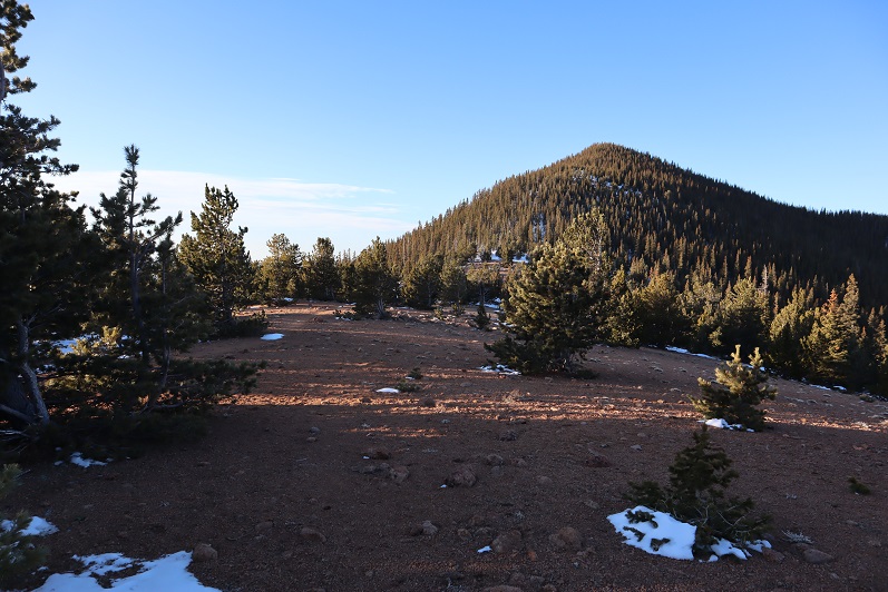
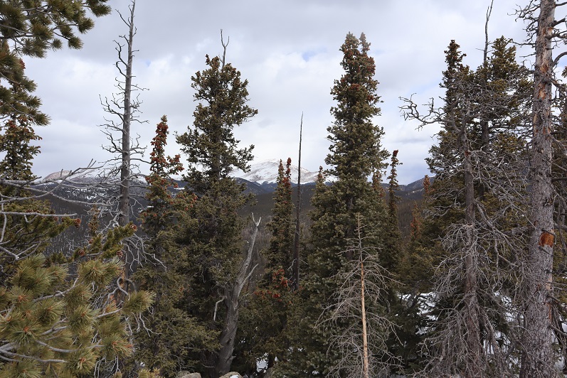
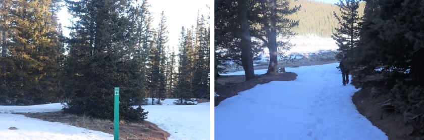
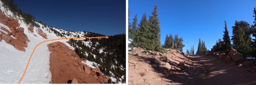
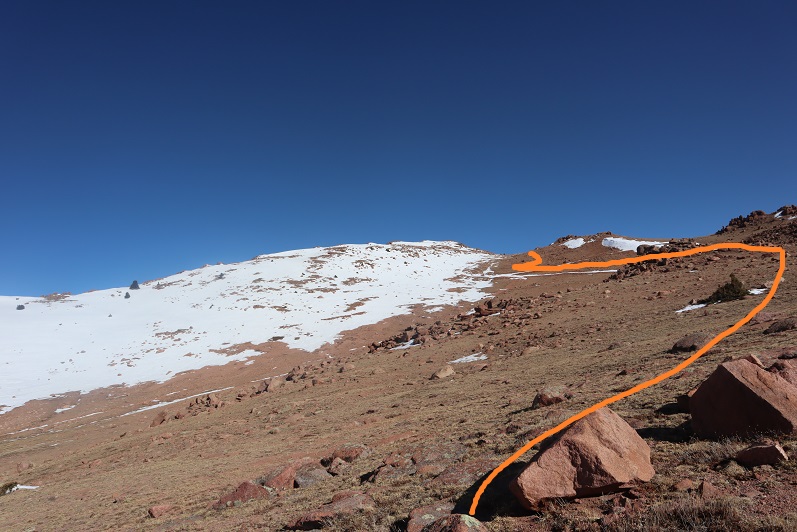
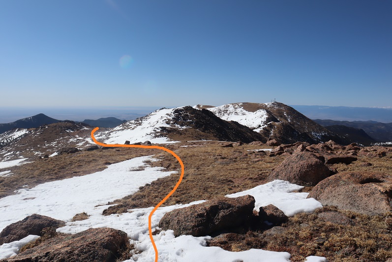
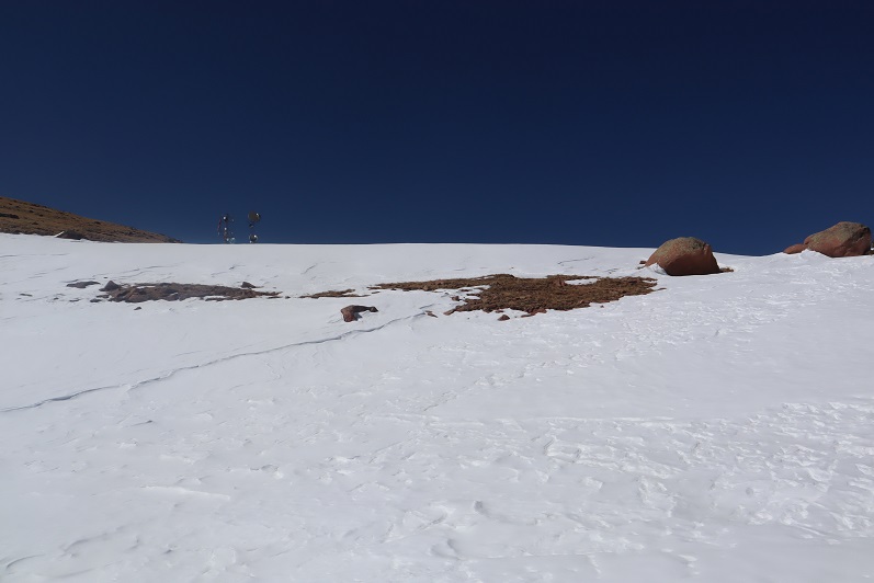
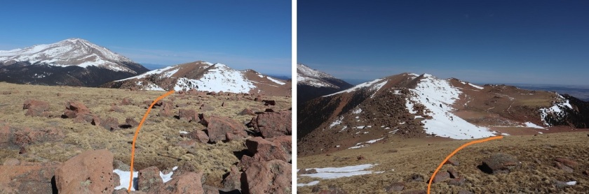
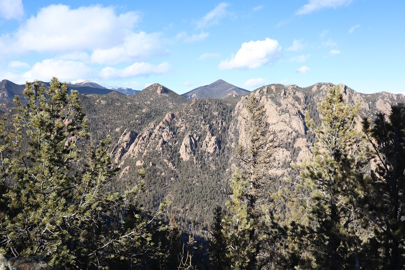
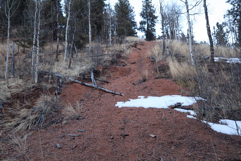
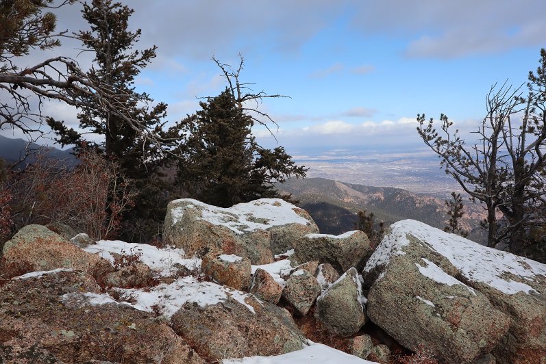
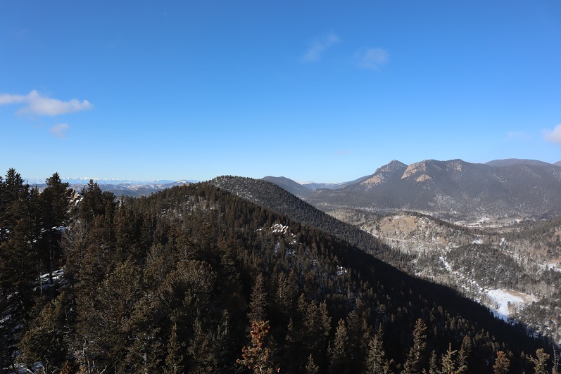
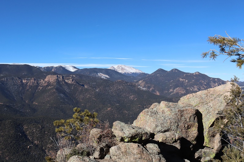
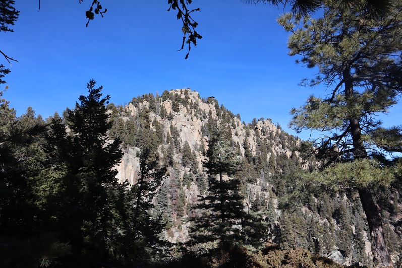
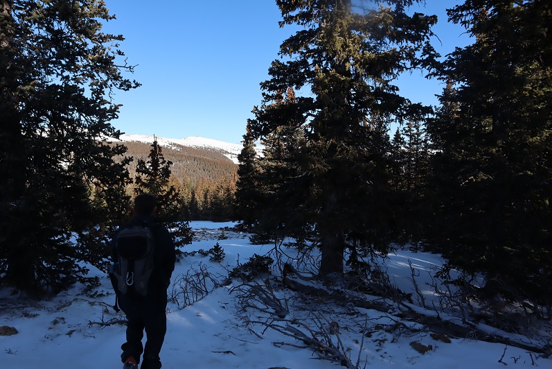
At the ridge we turned right (north) and followed the ridge to the end

11

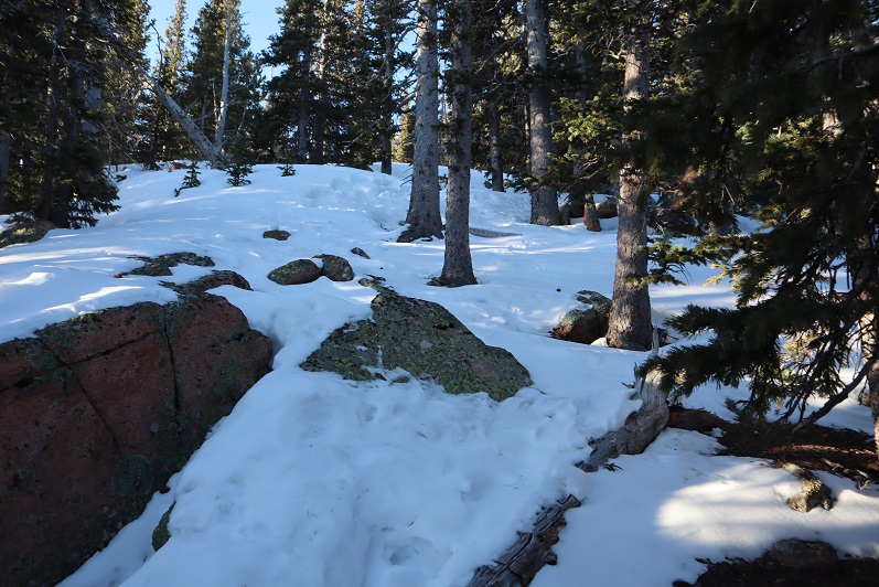
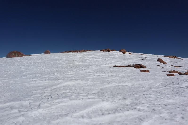
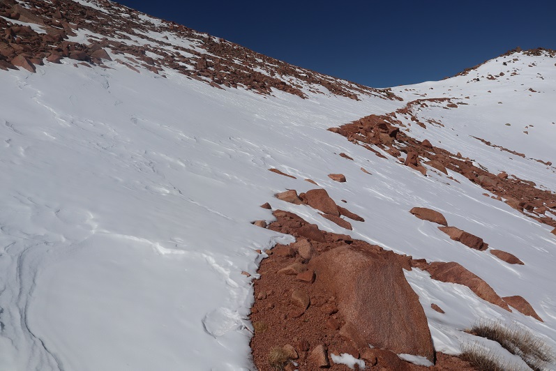
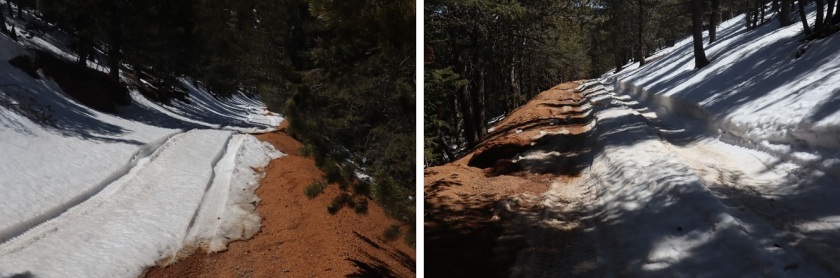
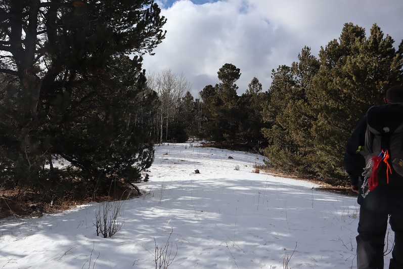
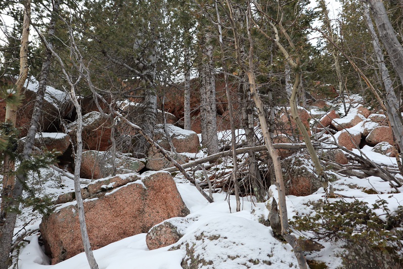
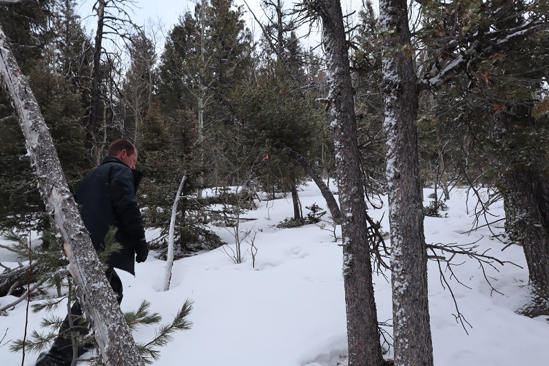
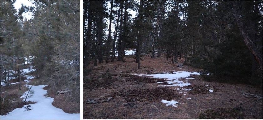
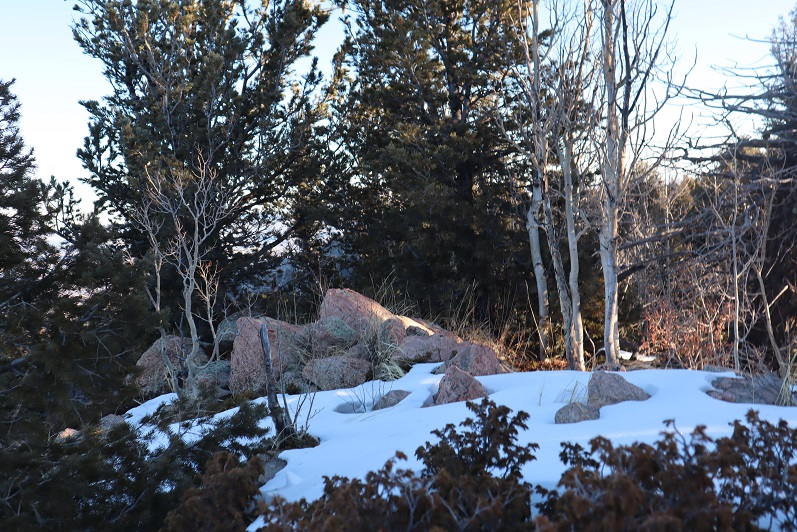
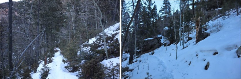
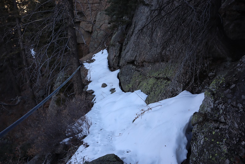
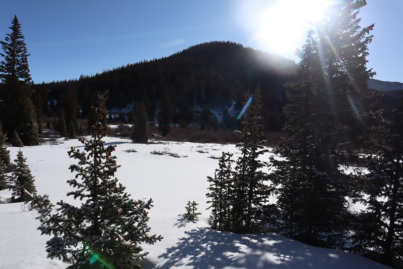
The snow ranged from non existent to several feet deep. We were able to get away without using snowshoes all the way to the peak

12

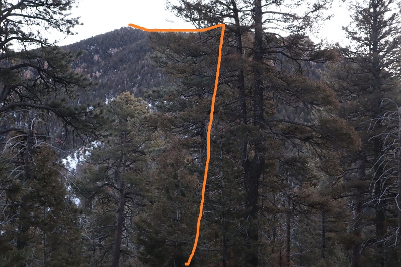
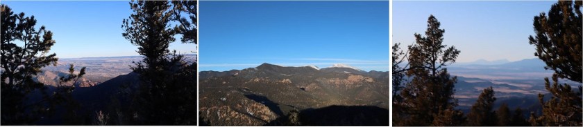
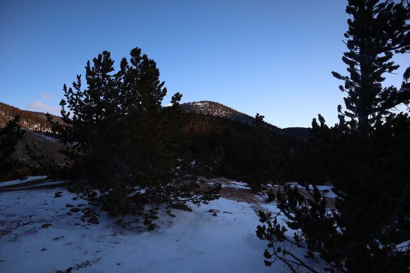
We just kept aiming north, towards the peak

13

14

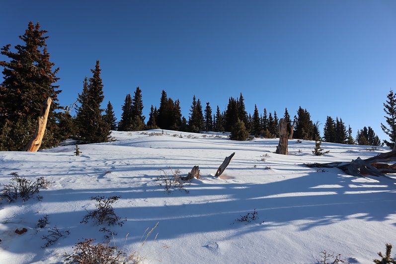
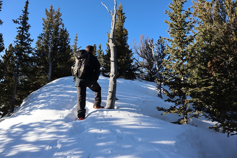
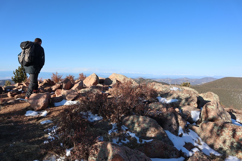
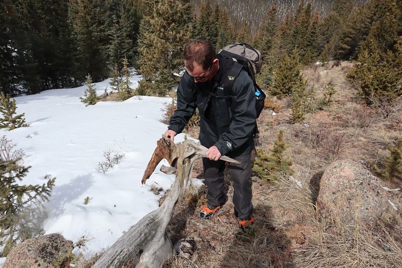
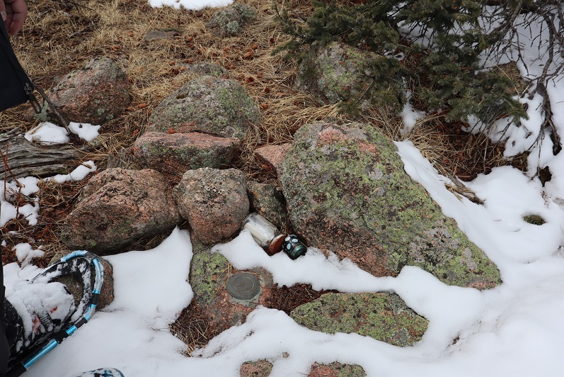
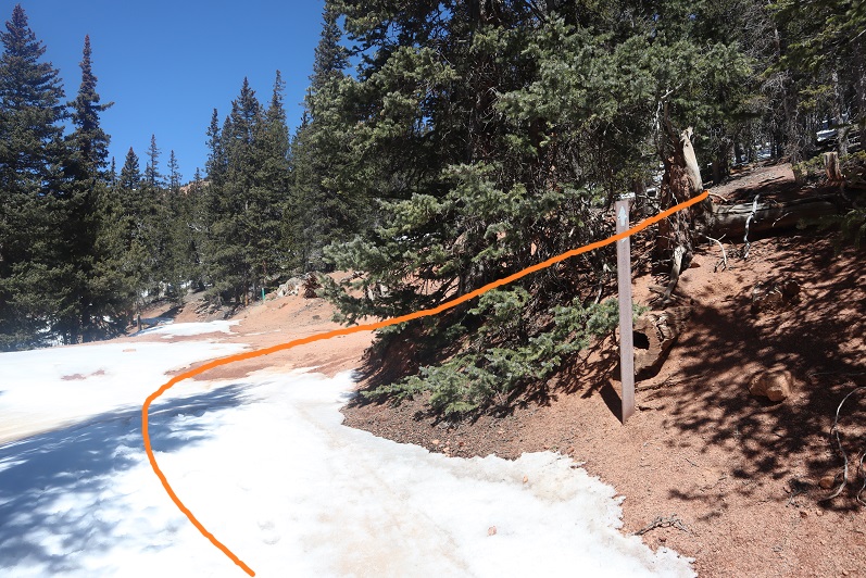
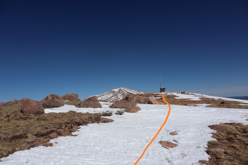
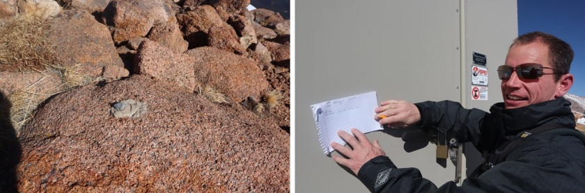
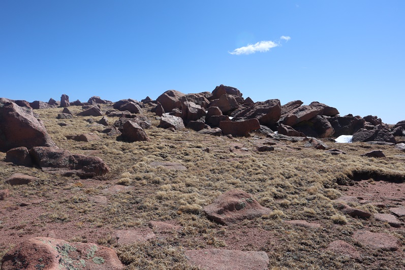
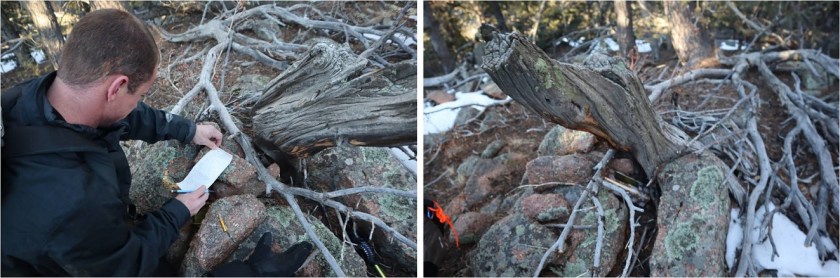
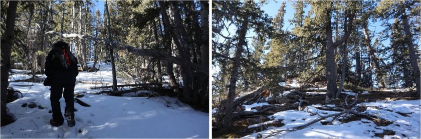
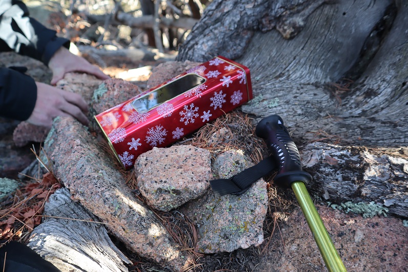
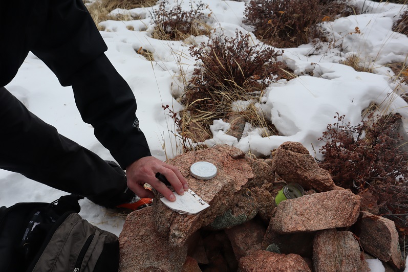
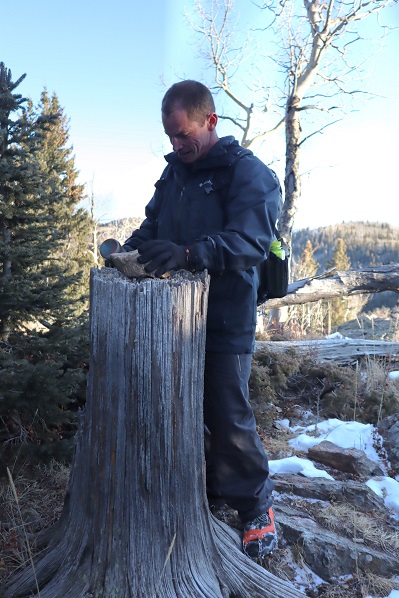
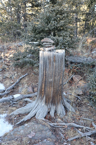
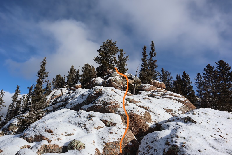
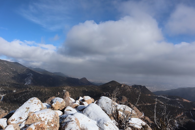
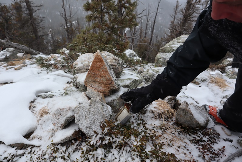
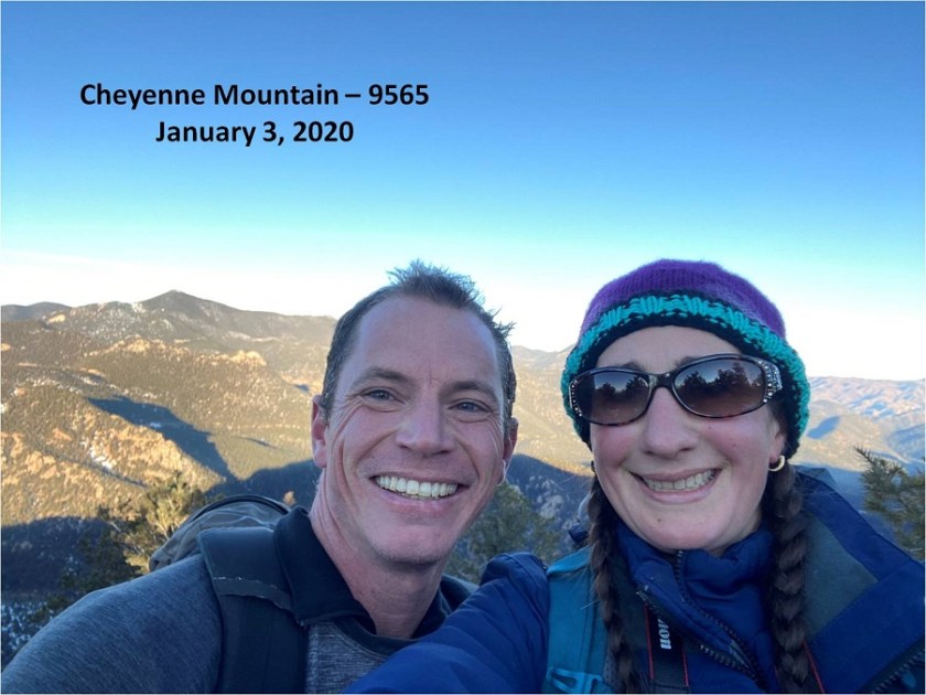
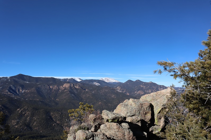
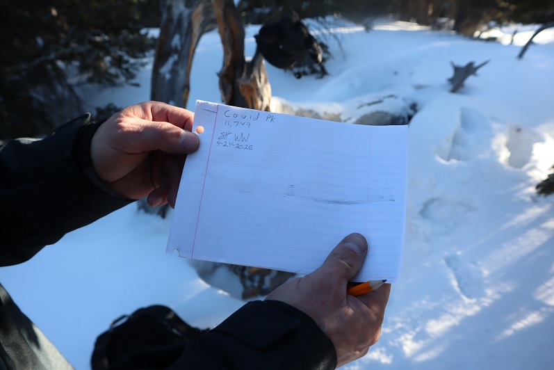
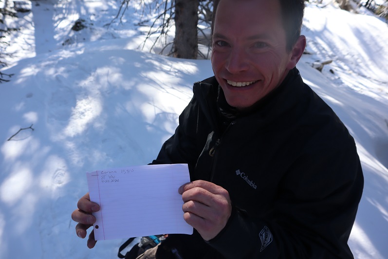
The summit of the peak wasn’t obvious. There was no summit register or cairn or anything indicating we were at a summit. I figured that was because this peak was so obscure. So we decided to leave a summit register and name Peak 11,749 Covid Peak.

15

We left the summit register where someone would find it and were on our way

16

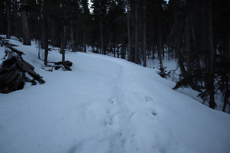
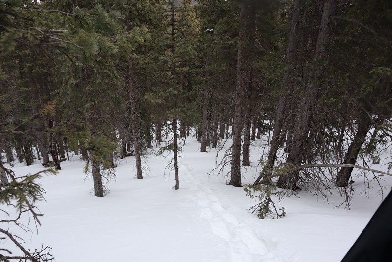
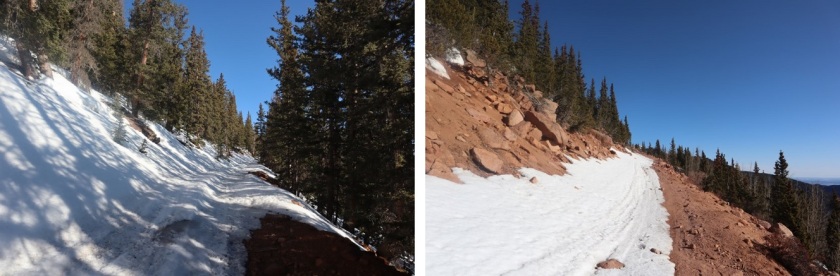
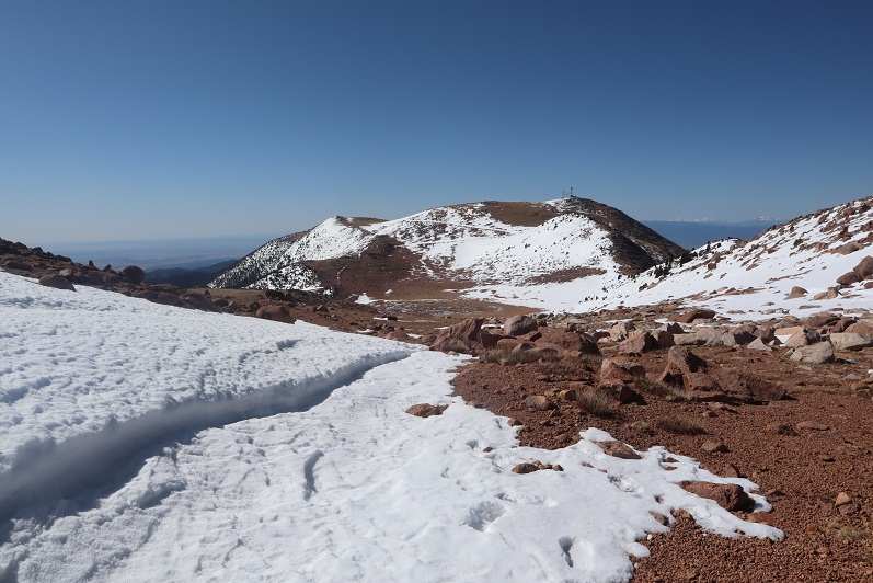
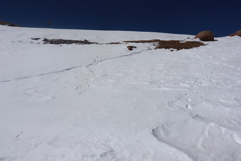
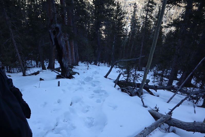
We followed the ridge northwest down, immediately needing snowshoes

17

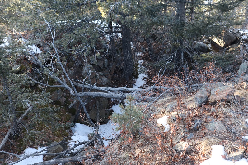
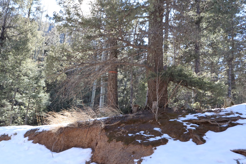
The snow was very deep and we were both glad we’d decided to take this hike in a clockwise direction: this would not have been fun to hike up! At one point we saw a well defined (but old) trench that was pretty large and looked like a human trench but weaved through the trees without breaking any branches. We realized it must be a trench from a large animal (thinking mountain lion, not bear). This area was very steep

18

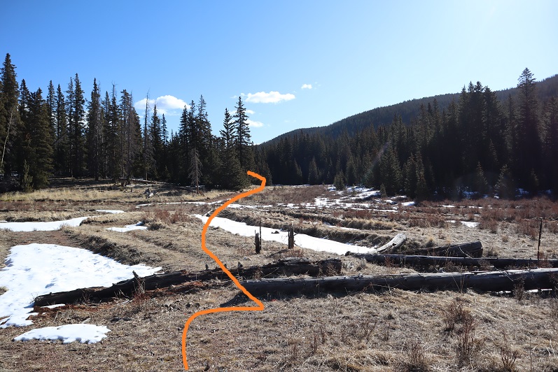
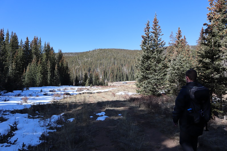
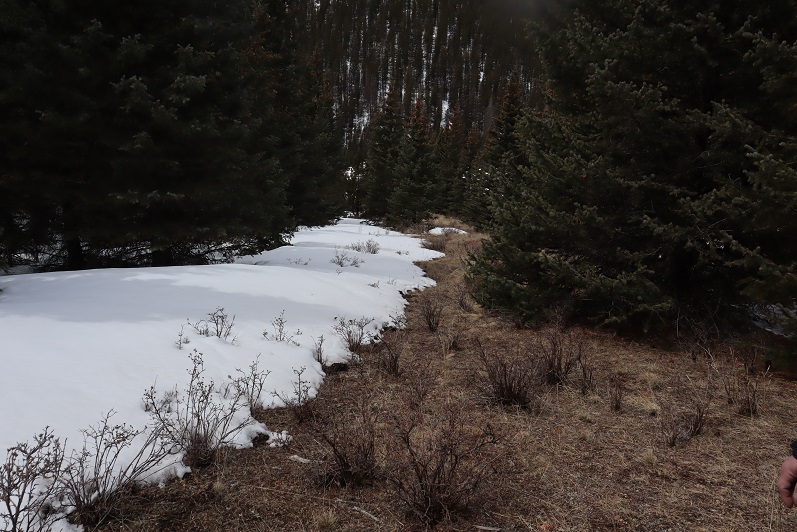
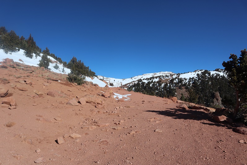
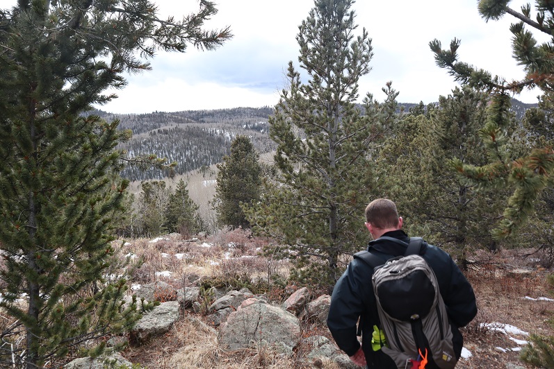
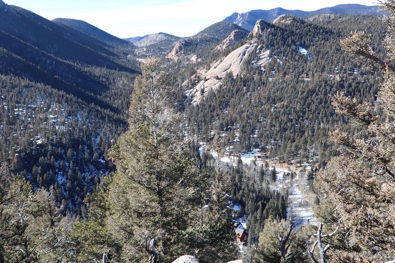
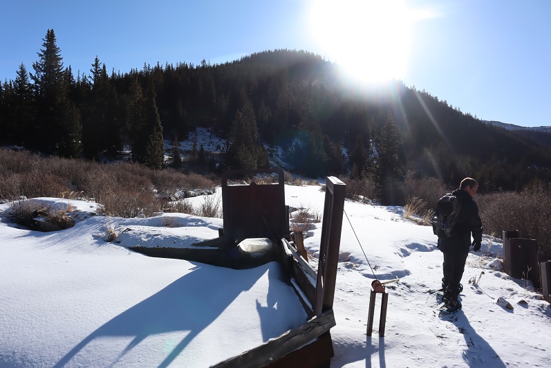
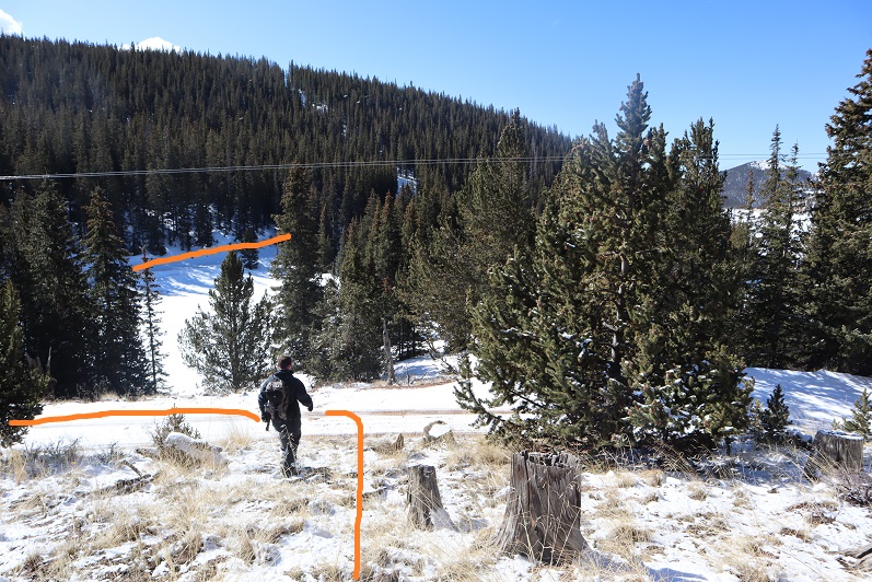
At the bottom of the ridge we came to a marshy area and headed east towards our next peak

19

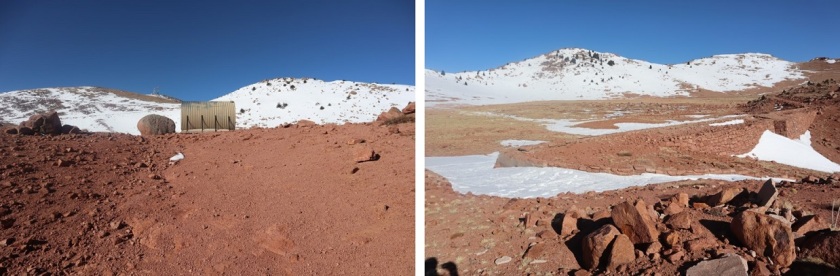
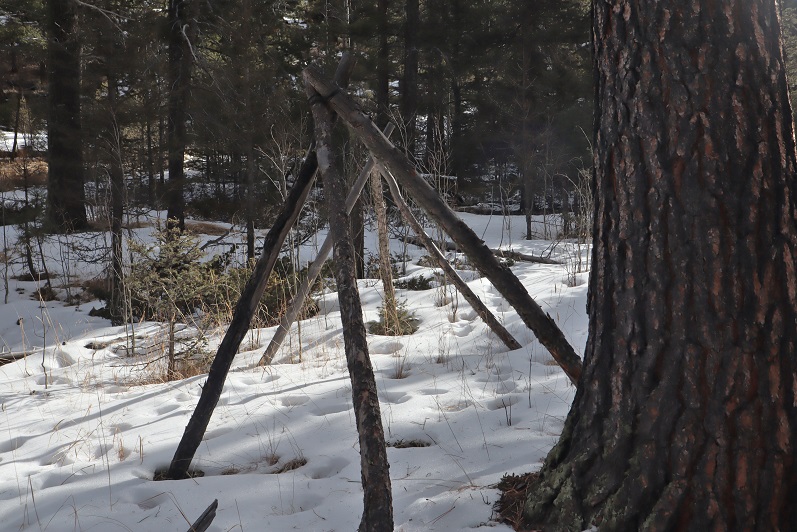
The marshy area had what looked like water gates

20

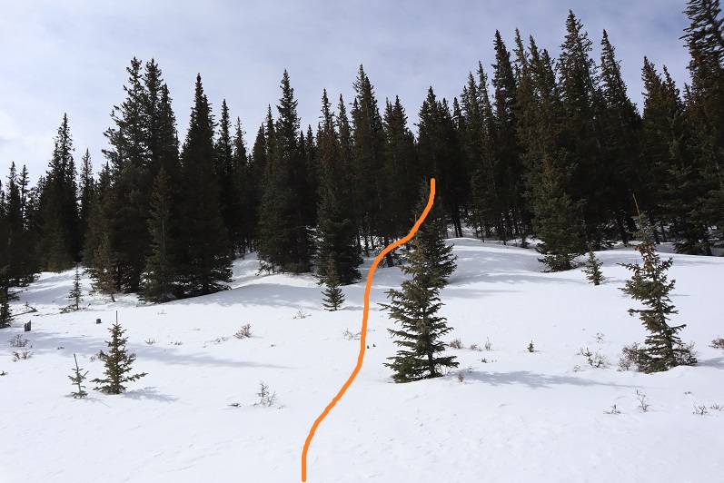
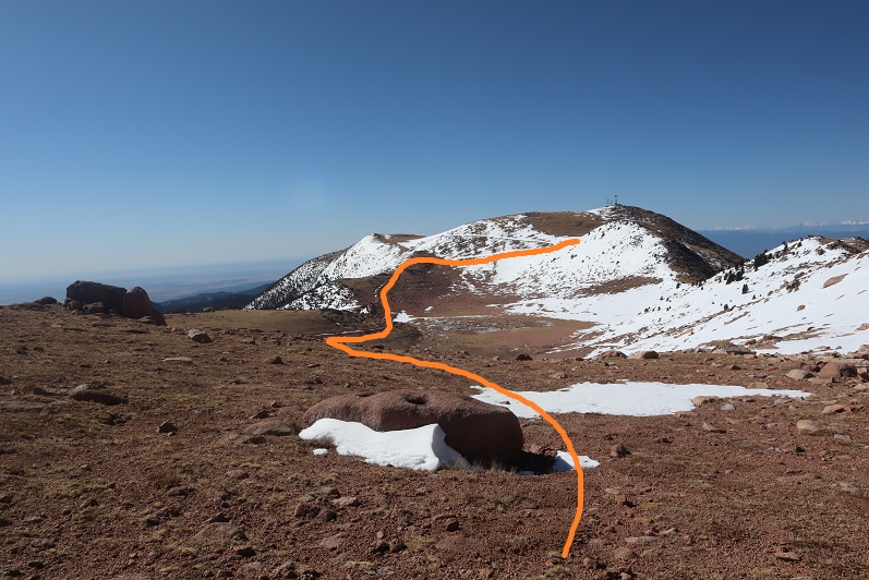
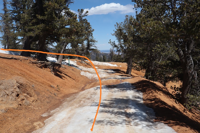
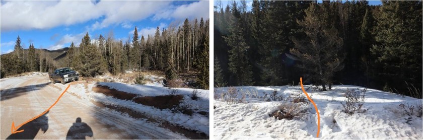
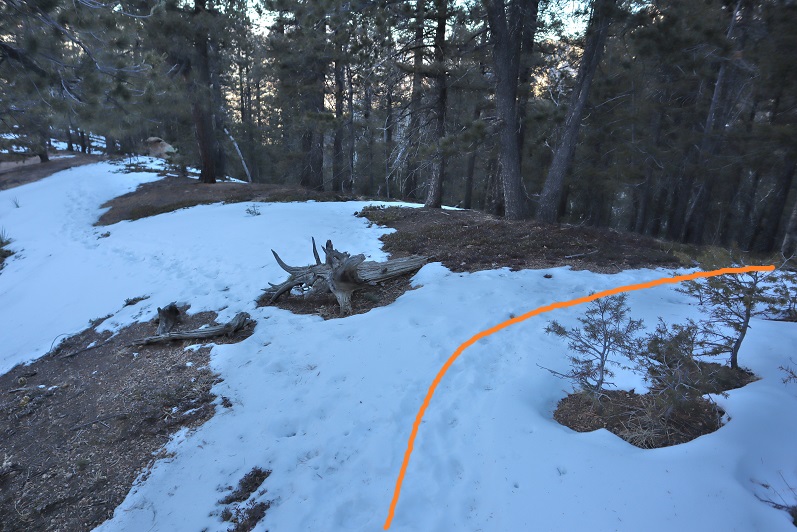
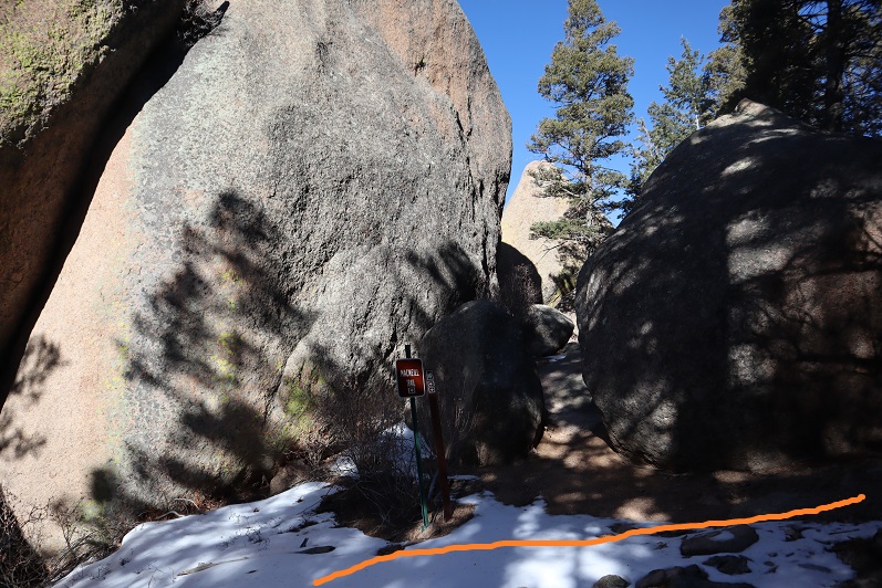
We crossed a dirt road, and then just headed northwest up the ridge

21

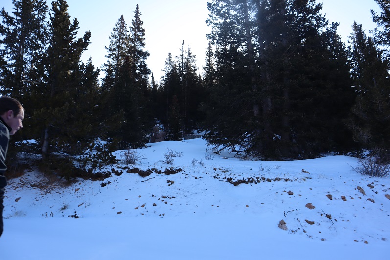
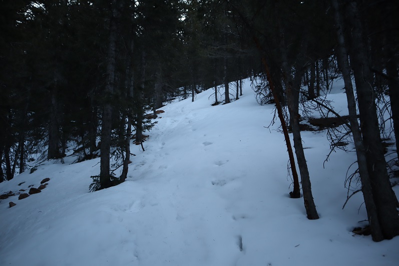
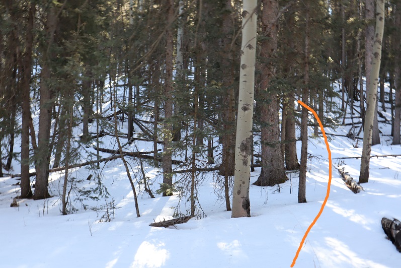
Snowshoes were needed here. We came across some recent orange flags and figured they would lead us up the peak. They led us about ¾ of the way, and then disappeared

22

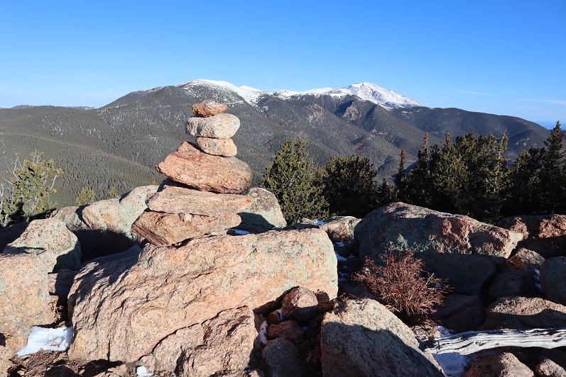
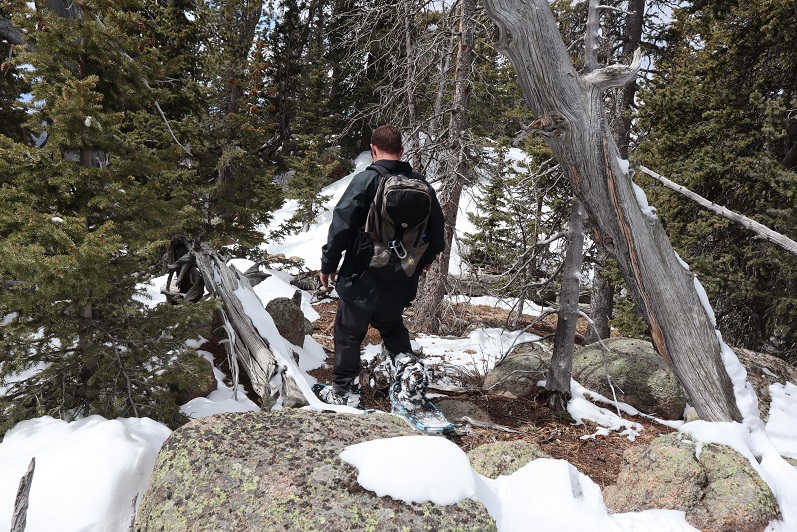
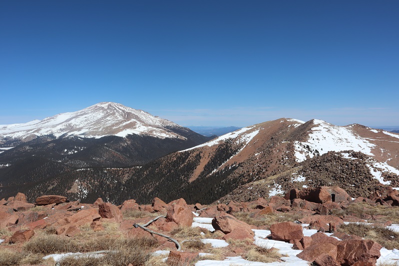
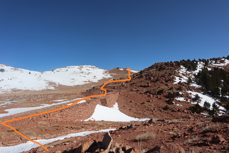
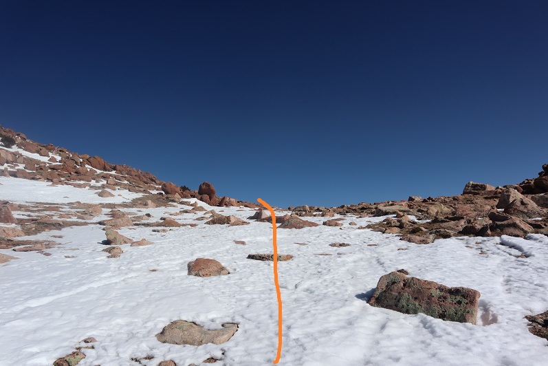
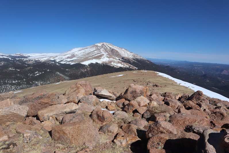
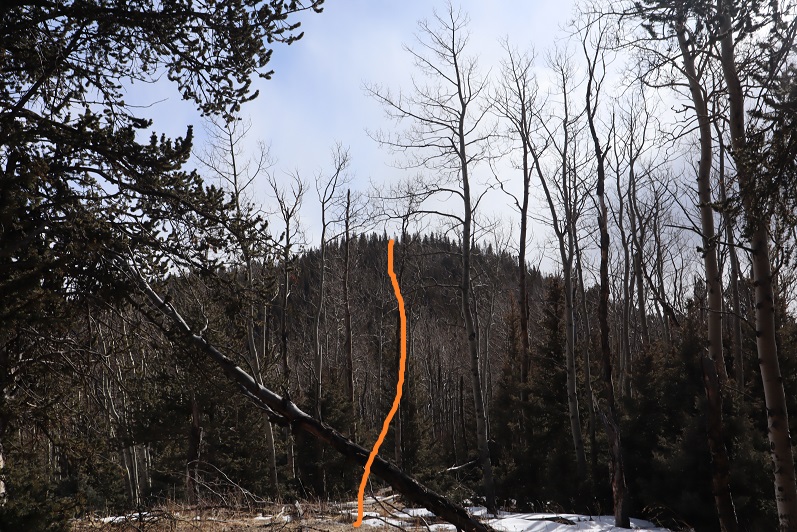
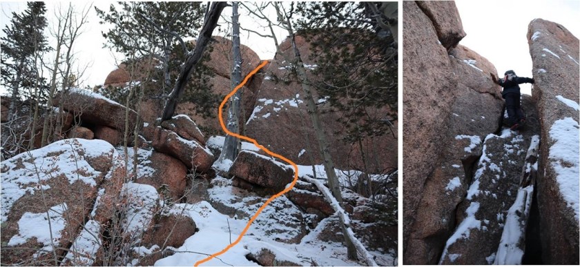
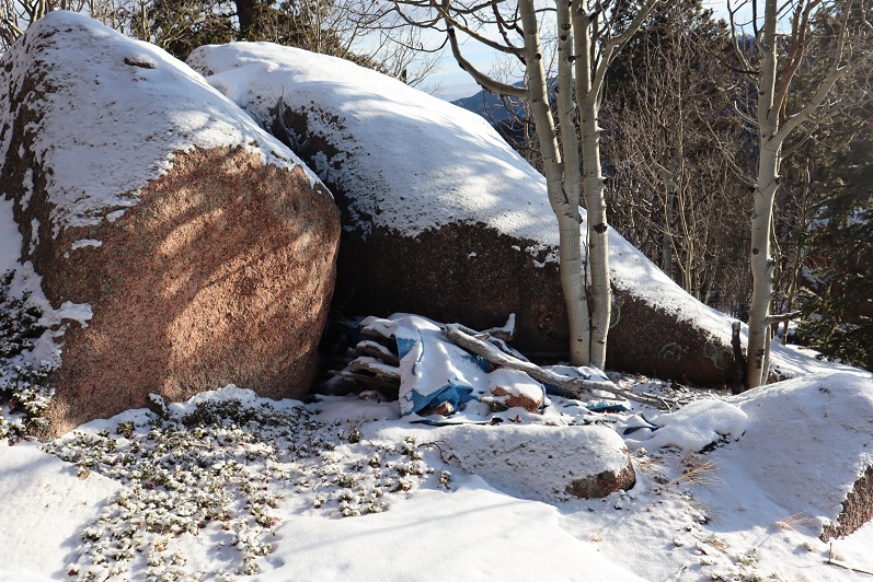
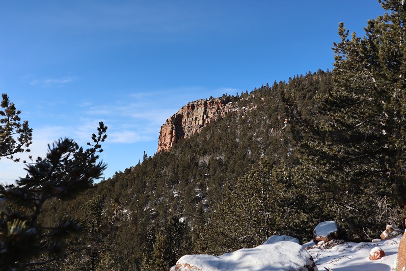
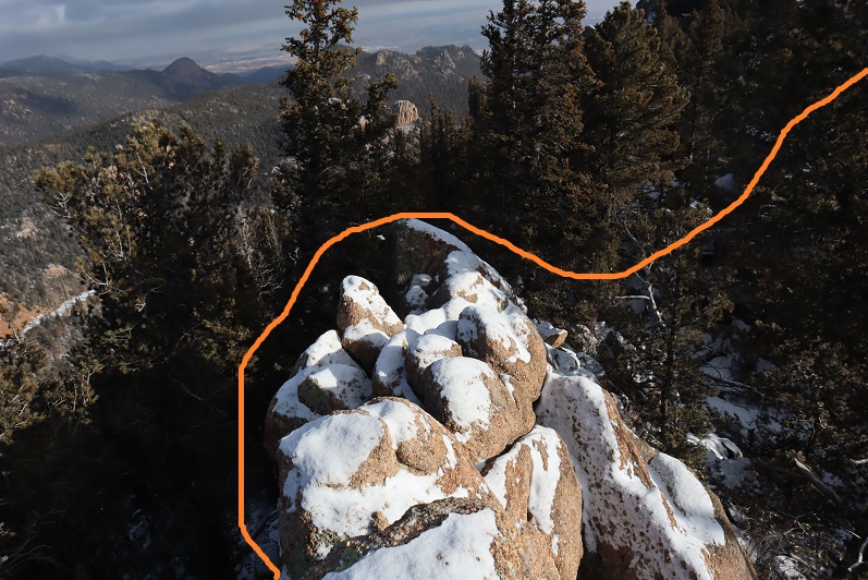
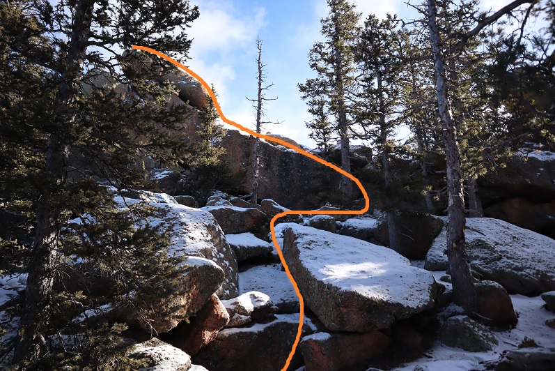
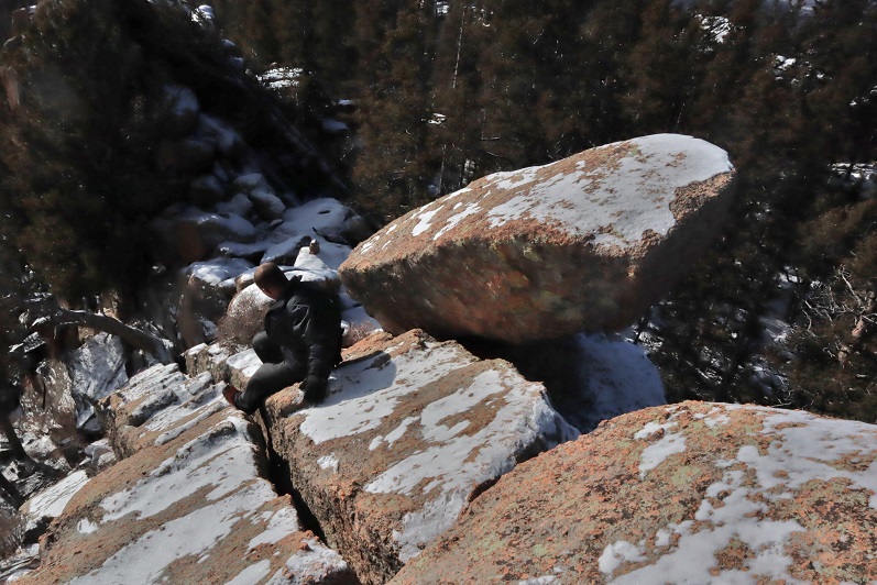
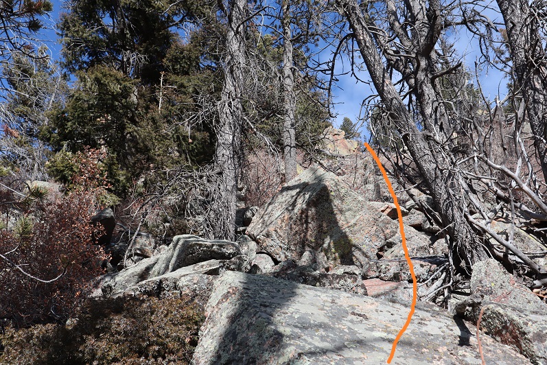
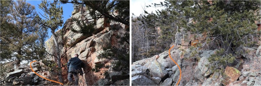
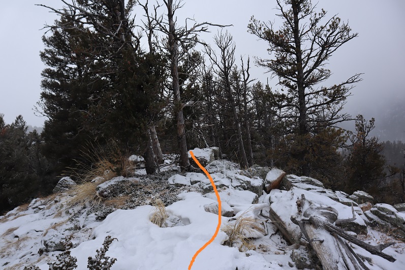
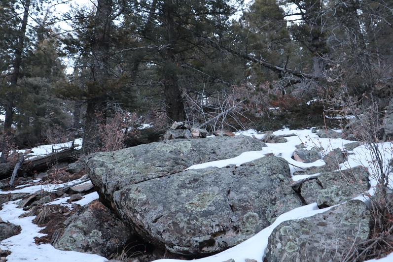
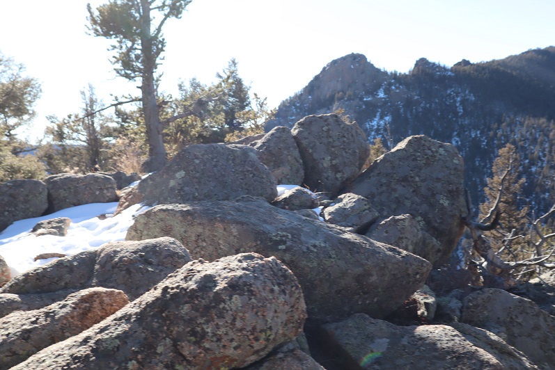
The actual summit of this mountain was difficult to surmise. We weren’t sure if it was on the north end or the south end of the mountain, as both points looked equal. We hiked all the way to the south end and found this rock.

23

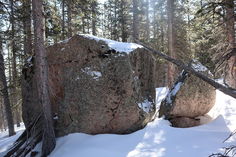
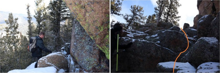
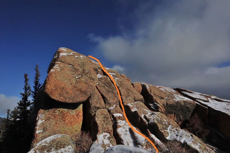
It felt like the highest point, so we climbed on top and I took a reading with my altimeter. It’s a serious class 5 climb, and we used the tree as leverage to get to the top.

24

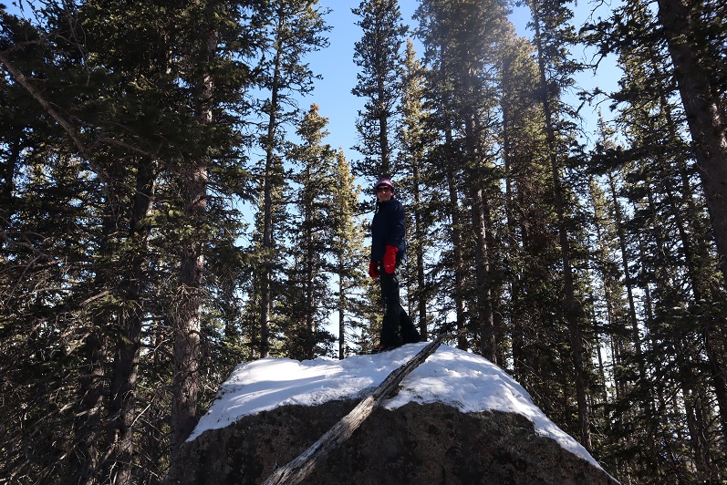
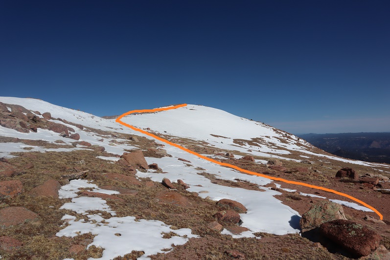
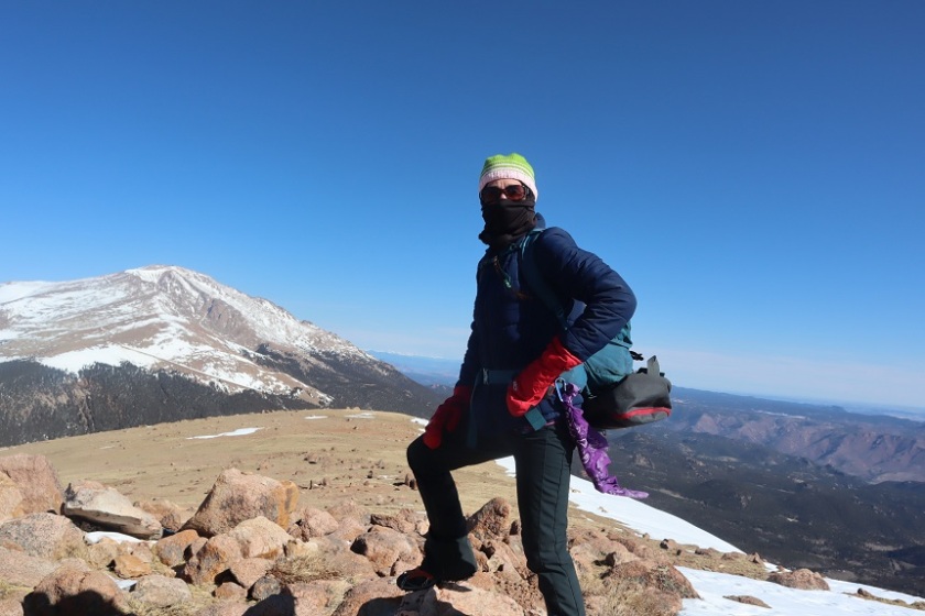
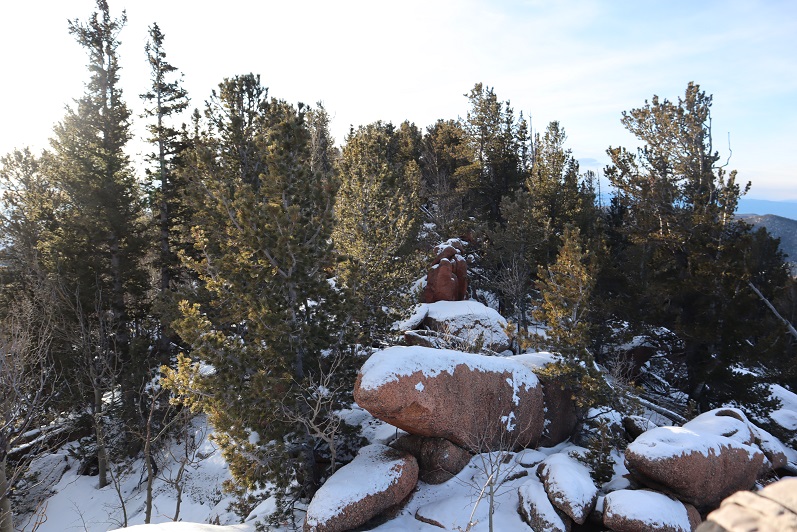
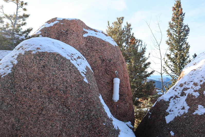
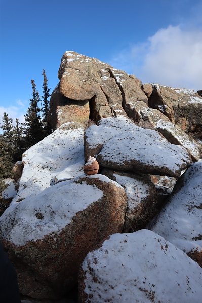
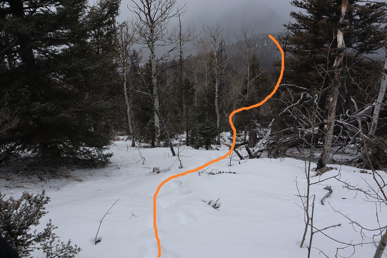
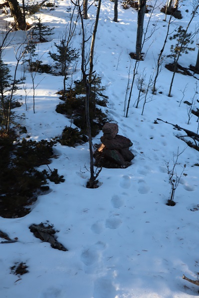
Then we hiked back to the north side (about 1/10th of a mile away) and I took another reading with my altimeter. This point was anticlimactic and measured 10 feet higher. I was kind of disappointed the summit didn’t require a class 5 move, but it made the summit more attainable for everyone. There wasn’t a summit marker/register/cairn, etc. so we made one, naming 11,510 Corona Peak.

25

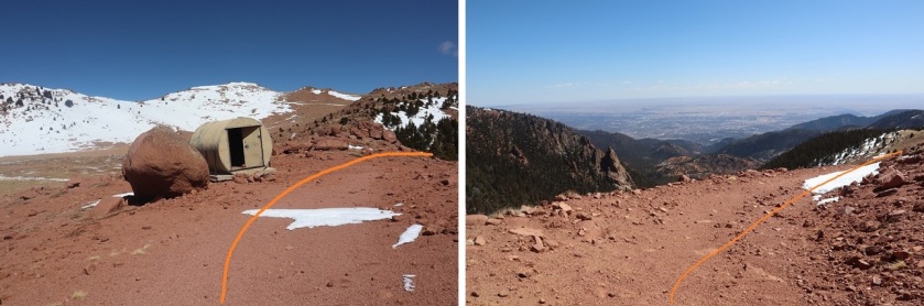
We left the summit register in the middle of a pile of snow at what was the highpoint

26

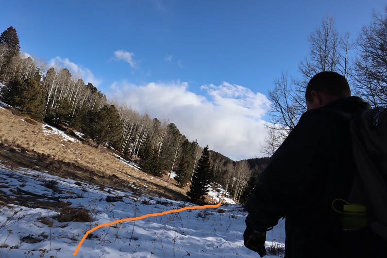
Making this a loop we set out again towards the south side of the mountain, passing the large boulder and heading down the south ridge towards the reservoir.

27

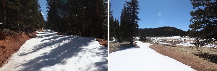
We made it back to the road and followed it around the reservoir

28

29

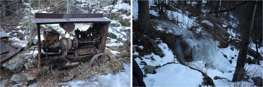
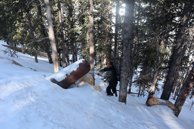
We found a frozen drain and Steffen had fun trying to break the ice with my ice axe

30

The road was easy to follow

31

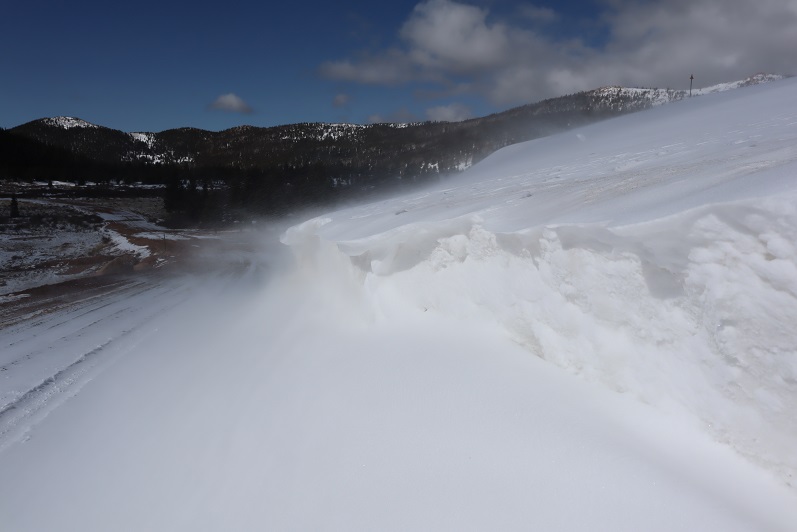
There was a major cornice forming off the reservoir

32

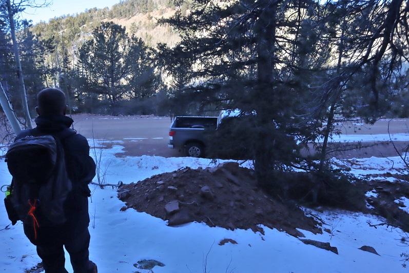
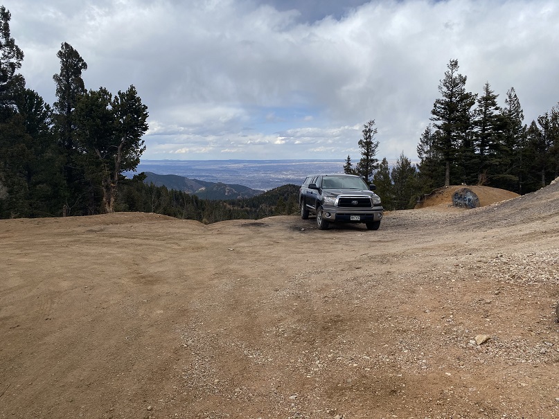
We made it back to my truck without incident and headed back down the mountain.
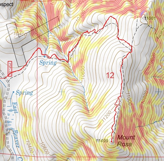
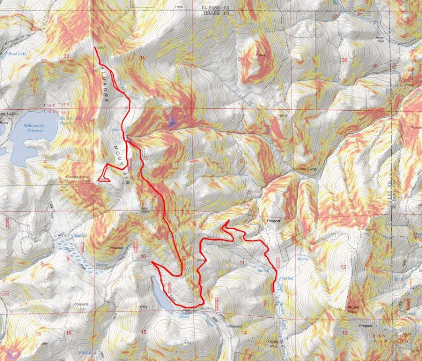
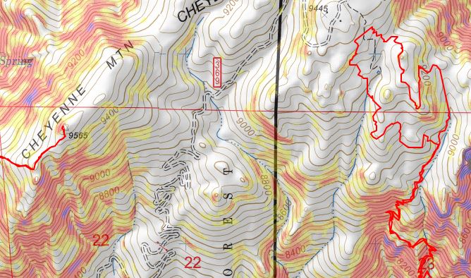
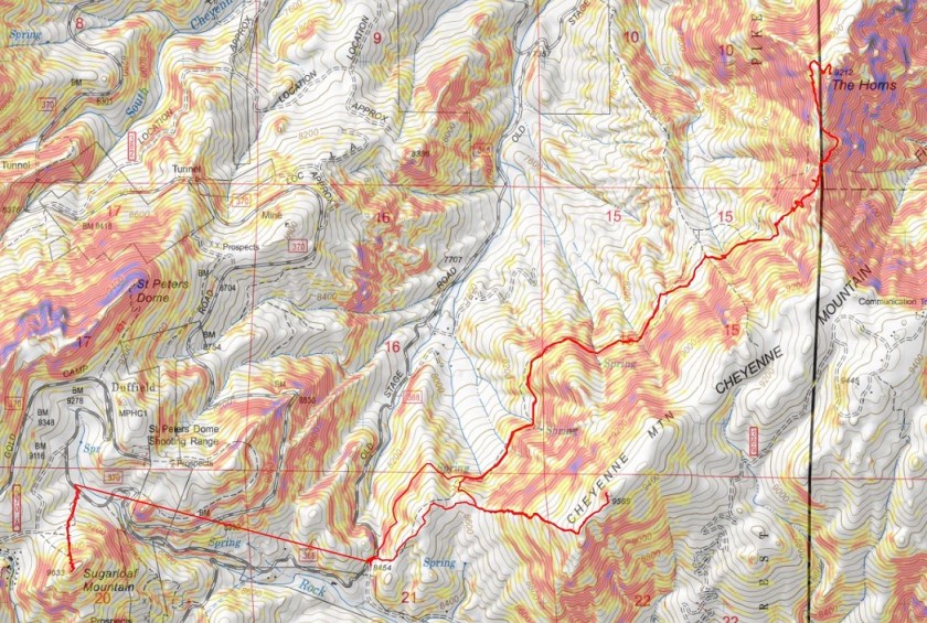
33

Here’s the topo:

34

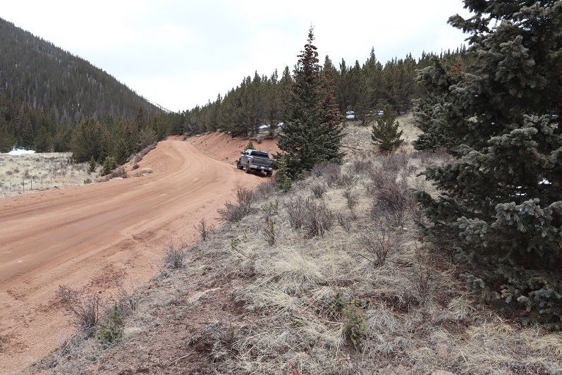
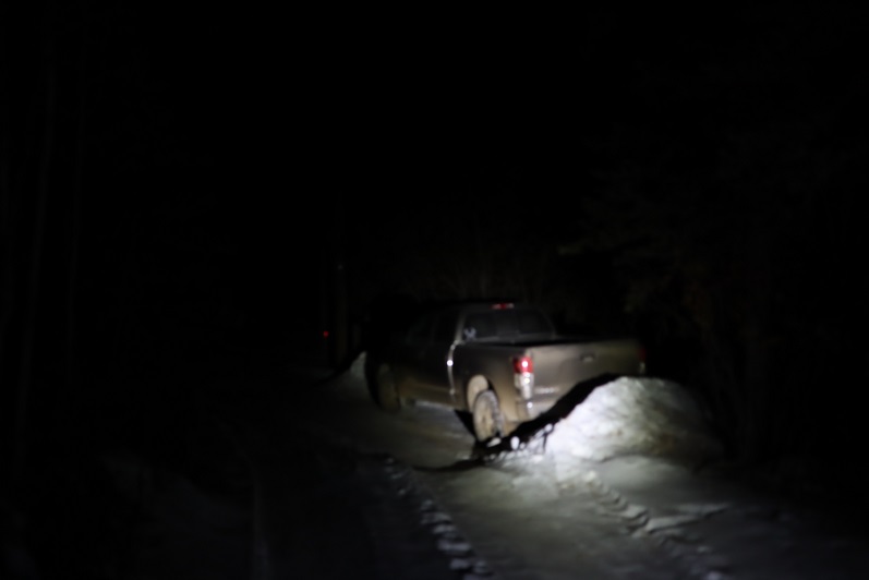
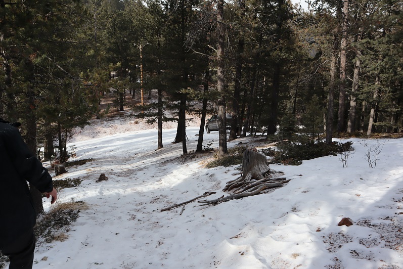
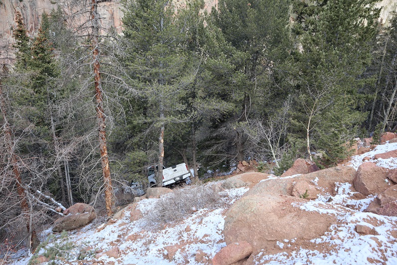
Oh, and that truck that was off the side of the road last week? It’s still there…

35

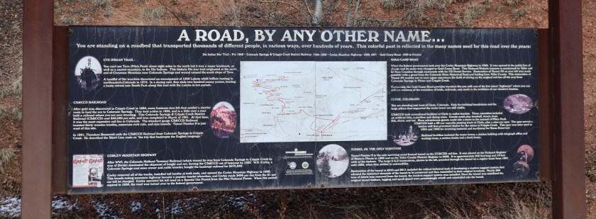
We were now on our way to Cow Mountain. This took us further down Old Stage Road, and through a tunnel.

36

37
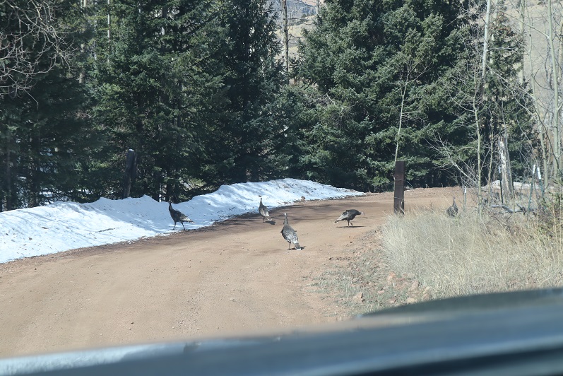
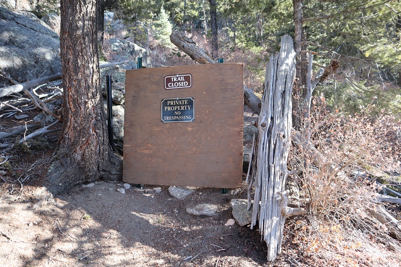
Unfortunately, we met up with some unanticipated locked gates and private property, so we had to change our plans. Scott’s Ranch blocked our drive with a locked gate. On the positive side, we saw a flock of turkeys

38

Mt Rosa – 11,499 and Rain Benchmark – 11,310

1
RT Length: 6.5 miles
Elevation Gain: 2520’
Thinking this would be an easy hike I got up at 2am and worked out on the treadmill for a while before heading over to Steffens house at 4am. His truck is lifted and we wanted to see how it handled as compared to mine on the 4WD dirt road (pretty similar actually). We started from Frosty Park, the same place we began last week. Rain was predicted by 1pm so we wanted to be on the trail early. We started at 6am when it was just light enough not to need flashlights, crossing a fence and hiking east along a faint trail.

2

I was immediately a bit upset, as one of my microspikes had broken. I could still wear the spike, but the chain was loose and it made an irritating clanking sound every time my foot hit the ground. Mental note: get new spikes before my next hike.
We turned right onto trail 672 and began retrenching an old trench, following the mountainside and losing elevation as we went.

3

4

5

After 1.5 miles of hiking we turned right (south) onto 673 and encountered a lot of snow.

6

In some places an old trench was visible so we tried to follow that whenever possible, but at other times we just made a new trench. Snowshoes weren’t needed this early in the morning.

7

8

There was a windswept area

9

And then more snow.

10

Last time I summited Mt Rosa I summited from the south side (same trail at this point) but this time the trail wasn’t visible, so we just went straight up the north side of the mountain

11

12

The summit was windswept and clear.

13

We took a summit shot and stayed for a few minutes, since it was such a nice day

14

There was no summit register so we left one, and built up the summit cairn while we were at it.

15

Mt Rosa:

Heading back down was a breeze, as we just followed our previous tracks

16

17

18

19

20

Ok, time for the next peak. It takes so long to drive out here and the summits are so short it’s worth it to try to get multiple peaks in in a day. We drove back down 379, noticing there weren’t nearly as many people out as there had been last week. We only passed 1 vehicle, and last time we’d passed dozens.

21

Turned right onto Old Stage Road, we then followed the road for a few miles to 376, turned right again, and drove for 1.9 miles before parking on the side of the road.

22

We started out by bushwhacking east, following a gully up the mountainside.

23

This gully had more snow than we’d anticipated, so we stayed to the left of it. There was a little bit of snow here, and a lot of fallen trees.

24

We made it to about 10250’ and decided to cut across the mountain and head southeast towards the saddle. Once again, no trail, and lots of downed trees. We came across another gully that led towards the saddle and decided to mark our exit so we’d know how to make our way back. We found this cool root that looked like a bighorn sheep skull and used that to mark our place.

25

We continued east up the gully on what kind of looked like a trail

26

Things changed when we hit the saddle: snowshoes became necessary

27

We donned our snowshoes (thank you Steffen for fixing mine!) and started up the ridge that led to the summit.

28

The snow just seemed to get thicker and thicker the further we went, and several times I thought we’d need to turn back, but we just zig-zagged our tracks and kept pressing forward.

29

To the right of the snow is a rocky area. The summit is at the southwest point

30

31

And check this out: there was a summit marker AND two summit registers!

32

Unfortunately, the views of Pikes and Almagre were interrupted by trees

33

The clouds were forming quickly so we didn’t stay too long on the summit. The snow was helpful on our way back, as we just followed our tracks back to the saddle

34

And then we followed our makeshift bighorn sheep cairn across the mountainside and back down the gully. There was less snow here, and we were surprised every so often to find our tracks!

35

Following the first gully back down was easy: we just stayed to the right of the snow

36

This led us back to the road and Steffen’s truck.

37

Here are the topo maps for the hikes
Rosa:

38

Rain Benchmark:

39

I’m not quite sure on the time for this hike, and to be honest, I wasn’t really paying attention because about halfway back to Old Stage Road we were stopped due to a tow truck blocking the road.

40

We parked the truck and got out to see what was going on. Apparently someone was driving too fast on the dirt road last night; his truck launched and hit trees before going over the edge and landing in the creek. Check out how high those tree marks are!!! The driver was alone and miraculously unhurt. He spent the night in his vehicle and climbed for help this morning. We hadn’t come across him because we’d decided to hike Rosa first.

41
We sat and watched them try to remove the truck for about half an hour.

Eventually they decided their tow truck wasn’t large enough and they’d need to come back with a bigger vehicle. Stay safe out there driving my friends!

Almagre Mountain – 12,367 and South Almagre Mountain – 12,349

1

RT Length: 14.5 miles
Elevation Gain: 2936’

Oh, Old Stage Road, where the speed limit is 20mph but you can’t go above 5mph because the road is so full of potholes. Old Stage Road is a 2WD dirt road connecting Colorado Springs with Cripple Creek, and as of late is becoming increasingly difficult to drive. OK, not difficult if you drive slow, but then it takes forever! We made it to Old Stage Road at 5am and didn’t make it to the trailhead (Frosty Park) for over another hour. The last part (after turning onto 379) was very much 4WD, and fun to drive! There was snow and ice on the trail, and a few deep puddles to navigate.

2

Eventually I came to a place where there was a layer of snow/ice on the road that I didn’t want to navigate with my truck, so I parked a third of a mile before the trailhead and decided to walk the rest of the way. This was an easy walk along the 379 dirt road, and in fact, we stayed on 379 for 3.5 more miles

3

The road conditions varied greatly, but after the first mile snow was present along the entire route. The road followed the Ring the Peak Trail to Deer Park

4

At Deer Park we left the Ring the Peak trail and turned right onto 379A

5

We continued to follow the road, steadily gaining in elevation

6

Snowshoes would have been a good idea, but we were too stubborn to put them on.

7

After 5.25 miles we came to a locked gate and skirted around it

8

This brought us to the defunct Stratton Reservoir.

9
It’s hard to imagine this reservoir ever held much water. Almagre is to the north of the reservoir. Here’s the path we took

10

Stopping to get a shadowselfie on the reservoir

11
Following the road up to the saddle

12

13

And then heading northwest to the summit

14

There was a lot of wind here, and firm snow we were able to easily navigate with just microspikes

15

16

We summited at 9:40am to quite a bit of wind

17

18

There was no summit register, so we decided to leave one we’d brought, crouching down behind the solar panels to get out of the wind

19

The wind was a bitter cold so we didn’t stay long on the summit. We made our way back to the saddle

20

And got a good view of South Almagre Mountain (the microwave towers)

21

We headed back the way we came

22

And only stopped for a bit to re-apply sunscreen. Then we were starting the ascent of South Almagre. While we simply followed the road, the road was covered in snow/ice and was a bit tricky in places. I went first to kick in steps

23

The road didn’t look passable after the first set of switchbacks, so we decided to just head up this wall of snow and straight towards the microwave towers

24

25
As we neared the towers we heard talking, which was confusing since we’d made our own tracks and hadn’t seen anyone all day. Turns out there were some workers up in the towers adding connectivity and network bandwith due to increased demand during the Coronavirus.

26

They’d tried to take the road we hiked in but their vehicle wouldn’t make it, so they instead turned around and hiked in from Elk Park. This is the initial way I’d summited Almagre a few years ago.

Being at the top of South Almagre we weren’t sure if we were indeed at the highpoint. Looking directly east seemed to be just as high (or higher) than the point we were at now, so we decided to traverse over to this pile of rocks

27

While it was fun scrambling, our altimeter showed this area was actually 10 feet lower than the towers had been.

28

29

Satisfied, we decided to head back, following the route we’d come in

30
The snow section below the towers was a little steep, but we’d done a good job kicking in steps

31

32

We followed the road back to the gate

33

And with the increased temperatures were a little worried about avalanche danger here

34

We gingerly crossed this area, and as soon as we were confident we were out of avalanche danger we put on our snowshoes for the long slog back down through snow, ice, and mud.

35
The snow on the roads was now mush, and once we got further down we started seeing tire tracks

36

37

And more and more and more vehicles. I started to get worried we wouldn’t be able to drive out on this road because so many people were driving in.

We made it back to the truck at 2:30pm, making this a 14.5 mile hike with 2936’ of elevation gain in 8 hours. I have to say, the hike felt shorter with more elevation gain, but that may be because I was tired from my hike the day before.

38

I decided to follow a few vehicles back to Old Stage Road, and this ended up being a fabulous idea: There were dozens of vehicles in the half mile back to the road all trying to go the opposite way. I applaud them for social distancing and still getting outdoors!

39

Colored Peaks

1

RT Length: 15.5 miles

Elevation Gain: 4692’

Partner: Steffen

I’m calling this post “Colored Peaks” because really, there were 6 peaks and it would have taken too long to title: Gold Flake – 10165, Red Flake – 10650, Blue Mountain – 9856, Yellow Mountain – 9982, Black Mountain (UR) – 10132, & Green Mountain – 10140

The forecast for wind today was between 70-90mph up high, so instead of hiking above treeline today we chose to hike some 10K and 9K peaks. It was still pretty windy, but at least we weren’t being blown away.  We got a bit of a late start because Old Stage Road takes forever to drive.  It’s nicely plowed but still icy in the morning.  I decided to park at the furthest peak first and work our way back.  The first two peaks were each less than a mile in length, and more like warm-ups for the rest of the day.   I’m really glad we decided to do them first because if we’d left them for the end I’m not sure we would have summited them.

Gold Flake – 10165 (so named because of the gold tin and golden morning)

I parked my truck on the side of the road and we headed east through the trees

2

And then south to the (rocky) summit.

3

There were no views on this summit, so we took a quick picture

4

Signed and replaced the summit register

5

And made our way back to the truck.

6

This was a very simple and straightforward trek up and down the mountain (without a trail or views).

Red Flake – 10650’ (so named because of the red tin)

We hopped in the truck, leaving on all our gear, and headed to the next trailhead. There wasn’t a place to park so I parked on top of a dirt berm near a shooting area littered with shell casings and we headed southwest up the side of the mountain.

7

8

There was more snow here, but luckily we soon came upon a trench! It looked over a week old, but made route finding much easier.  We found a microspike on the trail.  I attached it to Steffen’s pack and we took it out with us.

9

The trench led us to another rocky summit without any views

10

We signed and replaced the summit register and were quickly on our way back down.

11

12

Two easy peaks down, we now drove Old Stage Road to 371 and took that 4WD dirt road south to Emerald Valley Ranch, where I parked next to a locked gate.

13

Blue Mountain – 9856’

Emerald Valley Ranch is now owned by the Broadmoor, but was originally purchased as a Girl Scout Camp, and then sold to Spencer Penrose.

We started out hiking southwest along the road

14

There was a locked gate, but no ‘no trespassing’ sign and tons of footprints, so we just went through the gate

15

I found some pieces to a hornets’ nest in the snow. At first I thought it was the entire nest buried, but it ended up just being a few pieces.

16

The road was supposed to lead us near Emerald Valley Boys Camp, but we didn’t see any evidence of that. Instead we came to what was left of an old cabin.  We looked around for a bit and then headed south.

17

The trench stopped at the cabin and there was no trail here, so we bushwhacked our way south up the mountainside, following deer/animal tracks when available.

18

We came upon a small lashed structure that looked to have been lashed recently. Maybe this was part of the Boys’ camp? It would make a good tent if you brought along a tarp.

19

Onward and upward! Check it out: I found some pieces to another hornets’ nest!  Kind of cool, considering it was over a mile away from the last one

20

We were still straddling the ravine until we made it to the ridge

21

This was our aim

22

Once we made it to the ridge it started snowing, which was weird because snow wasn’t in the forecast for today. The wind also picked up, but since we were below treeline it was tolerable.  Notice all the deer/elk chews on the trees?  We saw them all day, and tons of scat as well (from Deer, Elk, and Bighorn Sheep)

23

The ridge seemed to last forever! Every time we thought we were at the summit the route would dip down and then back up again

24

25

There were so many downed trees! Branches and limbs were scattered everywhere.  We had to go around large piles of dead trees and circle back again several times to stay on the ridge.

26

There were several places that looked like the true summit. We walked around them all but agreed the highest point was the one furthest to the southeast.  None of the high areas had a summit register, so we left one and since it was cold turned around and headed back down the ridge, being careful to stay on the ridge this time and not heading back down the gully

27

28

Yellow Peak – 9982’

The skies suddenly cleared and we were treated to a great view of the peaks we hiked last weekend: Knights, McKinley, and San Luis

29

The ridge had some open areas that looked great for grazing and lots of aspens with bite marks

30

31

Here’s the last bit of the trek to the summit

32

We followed the ridge all the way to 9982, which we named “Yellow Peak” because it fit and because there was yellow duct tape on the summit register.

33

Here’s looking back on Blue Mountain

34

Black Mountain (UR) – 10,132’

At this point we had a decision to make: we either turned back now and headed back to the ruins/Emerald Valley Boys Camp area, or we made this a loop and continued on.  I was a bit worried because I hadn’t brought a flashlight and if we continued I knew we’d be hiking out in the dark.  Luckily Steffen had one in his backpack and we were feeling great so we decided to keep going and hit a few more peaks today.  We continued west down the mountain to a small saddle on a game trail, and once at the saddle picked up an actual trail.

35

36

That led to a 4wd road! This was great!

37

We followed the road west for quite a ways, past a run-down cabin and a couple of homes sporting tons of elk antlers

38

39

We could have followed the road up to the saddle, but at the time we didn’t know this, instead we cut across a field and headed south up the mountain (through a lot of snow)

40

41

There wasn’t a lot of elevation gain on this one since it’s an unranked peak, and it didn’t take us long to make it to the summit.

42

There wasn’t a summit register on this peak. We would have left one but we didn’t have one to leave.

43

Turning to the northwest we could see our last summit of the day:

Green Mountain – 10,140’

44

This really was a simple hike northwest past the road and up to the summit of Green Mountain.

45

When we arrived we had a great view of Black Mountain

46

There was what looked to be a mine at the summit?

47

We walked all along the top of the summit just to make sure we hit the actual ‘high point’. We were unable to find a summit register for this one either, and were a bit disappointed until Steffen got an idea:  he decided to look inside this stump and guess what?  There it was!  It hadn’t been signed since 2010 so I’m sure no one else had thought to look inside the stump since then.

48

We signed the register and put a cairn on top of the tree so others would know it’s there

49

Time to make this a loop! We traveled west down the ridge, avoiding this outcropping by navigating it to the left

50

This quickly brought us to the road

51

We followed it and were surprised to come across a gate. The only thing to do was climb over it. When we made it to the other side we realized we were now on the ‘right side’ of the gate.  Curious though, since we hadn’t seen any other gates/no trespassing signs on our way in?

52

A little ways after the gate, and just before the road curved west, we saw a cairn to our left (well, a rock on a log) and followed a faint trail down the mountainside.

53

54

Eventually the snow stopped and we descended a steep pipeline/scree slope to another 4WD road.

55

56

I was excited to finally make it to this road! We still had quite a ways to hike, but now all we had to do was follow this road out.  Well, I was excited until the road became covered in snow.

57

The snow was about 2 feet deep and snowshoes would have helped greatly, but we didn’t have any. Instead we took turns trenching and walking in each others’ footsteps.  I could tell this was especially taxing for Steffen.  I’m used to going for long hikes without eating/drinking anything.  My body is just used to it, but his isn’t.  Although he’d had plenty of snacks today and was currently out of water because he’d drank it all, he was tired, hungry, and thirsty.  He’d already taken a few Advil and I was worried about him hiking in the dark.  And then it started to snow.

58

He stopped to take another Advil and we heard a large cat scream twice to our left. We decided to double the pace towards the ruined cabin.  At times there were animal tracks to follow, but most of the time we were trenching through several feet of snow.

I was excited again when we finally made it to the ruins: we now had less than a mile to go!

59

This was the easiest part because the trenching stopped and we followed our footsteps in. We made it back to my truck around 6:30pm, making this a 15.5 mile trek with 4692’ of elevation gain in 10 hours, 45 minutes.

60

I was proud of Steffen! This was the longest hike he’s ever done.  He was exhausted, and offered to cook me steak to celebrate when I dropped him off at home.

61

Knights Peak – 10490, McKinley Peak (UR) – 10450, San Luis Peak – 10460, PT 10100 & PT 9410

1

RT Length: 10 miles

Elevation Gain: 4094’ (debatable?)

Time: 7 hours

Partner: Steffen

Another day of local highpointing! Today I’d wanted to hit 5 highpoints off Old Stage Road and Steffen volunteered to go with me to practice some routefinding below treeline.  It was snowing (lightly) when we made it to the first parking spot.  Actually, the drive took what seemed like forever because I was careful driving on the icy road.  I had to turn around a few times before finding a big enough space to park my truck while avoiding drifts and ended up parking a little ways further than I’d wanted to.

2

We donned our microspikes, left the snowshoes in the truck, and headed west along Old Stage Road. There isn’t a trail on this one (or if there is it was covered in snow) so we just walked up this slope and continued southeast up the ridge

3

Knight’s Peak, McKinley Peak, and San Luis Peak

There was snow here, and a lot of downed trees. I let Steffen route-find since he’s learning.  In places where I would have zig-zagged to avoid branches he just knocked down the ones in the way.  My bandana kept getting caught on branches (and eventually ripped in half).

4

About half way up the ridge we ran into an old set of tracks and decided to follow them up

5

The tracks led to a rock formation

6

This rock formation had a class 3/4 chimney we used a strategically placed log to climb. This part was unexpected and fun!

7

Looking down the chimney

8

From here we continued southeast towards the summit

9

The summit block had a rather fancy trail register

10

We didn’t sign the register, but we did climb up on the rock to make sure we tagged the high point.   From here we had a great view of our next objective:  Unranked McKinley Peak.  Here’s an overview of the route we took

11

Heading down from Knights Peak was fun! We passed some stashed firewood, which made no sense to us since this place was littered with fallen trees

12

We headed towards the saddle and then up the ridge. There were some neat rock formations here too.

13

Check out the view of Knights Peak! When you descend this peak be sure to stay to the north.

14

There’s a bit of a false summit to McKinley, but the actual summit isn’t that far away.

15

We went up these rocks

16

Skirted this rock formation to the right (south)

17

Carefully maneuvered our way up this ramp

18

And noticed the summit of San Luis Peak was to the right (east)

19

So we downclimbed the rock we were on to the left (west), skirted the large rock and re-climbed with a little scrambling back to the east

20

21

And headed towards the summit

22

This part was definitely class 3-4 climbing! It reminded me of the summit block on Sunlight in the Chicago Basin, but a bit longer

23

This part was challenging for me because it required taking off my gloves. The rocks were cold and covered in a thin layer of snow, so my fingers weren’t very useful.  I did summit however, and took some photos for fun.

24

25

Here’s looking back on the other two peaks we’d already summited this morning

26

Steffen headed down the summit block first. He wanted to climb the other tower, which we both agreed seemed to be about 10 feet lower than the summit of San Luis Peak

27

28

I slowly made my way down, being careful not to slip because there was no way to catch myself. Ropes would be a good idea on this part.  Helmets too.

We fixed the cairns (they were pointing towards the lower of the two spires)

29

And headed back down the rocks. Here’s the route we took, using the tree for added support.

30

Once again, there was no path down this mountain. We just zig-zagged our way down through the trees toward the road.  It was very steep, and I was glad we’d decided to take this way down instead of up.

31

We came across a cool cave that would make a great den. We didn’t see any tracks near here in the snow, so we assumed it was vacant

32

Steffen stopped to make a snow angel

33

And we exited the trees and followed the road back to my truck

34

Here we could have taken a short cut between the mountains back to my truck, but the snow was too deep. If we’d had snowshoes it wouldn’t have been a problem though

35

Our next peak was a little ways away, so after getting back to my truck we drove on Old Stage Road back the way we’d come and found a parking spot at the base of 10100.

36

10100

There was less snow here but we kept on our microspikes, not sure of what we’d encounter. The first part of this climb was steep and ascended through lots of brush and trees, both alive and dead

37

We angled slightly left up the mountain until we came to a rocky area. We rock hopped up the rocks

38

And came to rocks that were not climbable, so we skirted the formation to the left

39

And went up a small gully

40

We turned left at the top of the gully and followed the ridge to what we thought was the highpoint, but was really a false summit. From here we could see the true summit of 10100, more to the north of us.  We could also see increasing clouds.

41

It was a short hike over to the true summit. Here we found a summit register and Steffen signed it (I don’t usually sign them, but added my WW for good measure).

42

43

The wind picked up and snow flurries began, so we decided to head back to my truck. It was amazing how different the trail looked on the way back with no visual cues to help with route finding.  On the way in I’d kept looking back at the mountains to remember how to exit, yet now the snow was so enveloping it covered our earlier tracks and I was unable to see any mountains.

44

In the snow we had a little trouble finding the correct gully to descend, but eventually found it and made our way back to the road.

45

9410

With all this unexpected snow we debated our final peak of the day, but once we made it to the trailhead we decided to go for it. Peak 9410 is an easy hike on an established trail for 80% of the time, and a good introduction to easy route finding and peakbagging. We parked at the top of a hill at the trailhead for Gray Back Peak and headed southeast on a scree and snow filled trail.

46

This trail quickly became snow packed, but there was a nice trench to follow

47

We hiked it up past point 9153 and descended a bit, losing about 150 feet in elevation before regaining it and reaching the top of a hill. The trail continues south here towards Gray Back Peak, but we found this marker on a tree and left the trail, heading east.

48

Every so often we’d see a cairn or surveyors tape, letting us know we were on the right track. We headed east and once we reached the ridge northwest towards the summit

49

50

Once again, the summit views weren’t all that great due to the snow/clouds, but the short trek had totally been worth it.

51

We found a summit register but didn’t bother to sign it

52

And instead headed back down the mountain

53

54

And back to the truck

55

We made it back to my truck at 2:30pm, making this a 10 mile hike with 4094’ of elevation gain in 7 hours, with a couple of trailhead drives in the middle.

56

But those numbers are debatable. Steffen’s numbers were drastically different than mine.  We both used Strava to track our progress, and hiked the entire time together, yet his elevation gain read in the 5000’ range, while mine was in the low 4000’.  That doesn’t make a lot of sense.  Our mileage was off too, making me wonder what’s up with the disparities.  Have my numbers been artificially low, or are his high?

Cheyenne Mountain – 9565, The Horns – 9212 & Sugarloaf Mountain – 9633

1

RT Length: 10.5 miles

Elevation Gain: 4712’

Time: 6 hours 15 min

Partner: Steffen


With the weather iffy in the high country I decided to tackle one of my 2020 goals early: climb 3 El Paso County Highpoints.  Steffen is training to hike 14ers this year so I invited him to go along.  Before heading out I used Caltopo to make a route of the drive in, not being sure just how Old Stage Road would look this time of year.  It ended up being almost completely clear of snow.  I parked near the stables.

2

Cheyenne Mountain 9565’:

Just to clarify, we summited the highpoint of Cheyenne Mountain. There have been articles written and news posts stating the Dixon Trail goes to the top of Cheyenne Mountain:  It doesn’t.  The Dixon Trail goes through Cheyenne Mountain State Park and up the side of the east side of the Cheyenne Mountain range near the communication towers, but it doesn’t summit anything, and in fact if you were to go off trail and scramble to the top of Robbers Roost you’d still be over 100 feet shy and about a mile of bushwhacking away from the true summit of Cheyenne Mountain.  Here’s topo proof:  On the left is the true summit of Cheyenne Mountain, and on the right is where the Dixon Trail takes you.

3

In any event, at 6:30am it was 14 degrees outside when we donned our gear (microspikes) and headed east over a snow bank and up the mountainside, dipping about 200 feet before starting the ascent.

4

5

This hike was entirely below treeline with no distinct trail so we just aimed for the ridge and ascended the mountain on its west side. The ground had many dry spots but we tried to stick to the snow as much as possible so we’d see our footprints upon our return.

6

About three quarters of the way up the mountain we started running into cairns and surveyors tape, which was a nice surprise (until they stopped). We also found some bear scat that looked to be from last fall.  This seemed a good area to find a bear.

7
Once on the ridge we came across some mountain lion tracks that looked to be a few days old.  This area also seemed like a good place for a mountain lion to den, with a lot of large rocks and boulders to hide in.  We followed the ridge left (north) to the summit.

8

Once at the summit we found a summit marker! This was cool because it was totally unexpected.

9

Our summit views included Colorado Springs, Almagre with Pikes Peak, and The Spanish Peaks

10

Summit Picture

11

There was about 6 inches of snow on the ground towards the top so we followed our tracks back down the ridge

12

Cheyenne Mountain wasn’t our only goal for today, and after looking at a topo map we didn’t want to re-ascend the hill that led back to the parking area. We decided to traverse the north side of the mountain instead. There was more snow on the north side and we were frequently knee deep in powder

13

But after just a few minutes we came across the MacNeill trail, and check it out: it had tracks!

The Horns 9212’:

This was awesome! We just followed the class 1 trail as it curved northeast around the mountainside

14

It can be tempting at times to veer off trail, so be sure to stick to the side of the mountain. There were downed trees everywhere.  There is also a lot of up and down, meaning you’ll gain elevation on the way out as well.

15

We came across an old water pump and frozen waterfall/stream

16

There were broken pipes littering the trail from here just about up to the summit, as well as varying depths of snow. We kept our microspikes on.

17

We made it to the top of the ridge and now lost elevation as the trail continued on the east side of the mountain and then snaked back to the west side. Here’s where the tracks ended, but luckily the trail was still easy to follow.  There was more snow on the east side.

18

The trail snaked back around to the left (west side) and into an area filled with boulders. There was one spot that was tricky to pass due to the snow, but with the help of microspikes and trekking poles it wasn’t too bad. I didn’t touch the pipe.

19

We continued on the trail as it once again curved east around the mountainside

20

And came across a trail sign

21

We followed the trail towards what looked most likely to be the summit on top of a rocky area

22

23

We came across cabins, which I wasn’t prepared for. There wasn’t a camp on my topo map (Pikes Peak Atlas).  It didn’t look like anyone was at camp today so we continued on towards the highest point, which seemed to be up these stairs

24

At the top of the stairs was a large boulder and what looked to be a fire tower.

25

We climbed the boulder carefully (class 3) and looked around. It seemed this was the summit, so we took a few pictures.  There was a puddle of ice over what we assumed was the summit marker (if there was one?)

26

27

As we looked around it was unclear if we were at the true summit or if the rock about 15 meet away but near the cabin was the true summit, so we downclimbed and walked up the stairs of the fire tower. This was referred to as “The Horns” so it made sense there were two rocks.

28

The points looked to be about even, with the one on the north maybe just a little higher? It was here we noticed the security cameras.  There were many and although we weren’t doing anything wrong we decided to leave.  From the tower we could tell this place was bigger than we’d thought (later we realized this is “Cloud Camp” owned by the Broadmoor).

29

Time to head back down. The boulders here really look fun to climb/rappel.

30

We hiked along the MacNeill trail for a little ways and suddenly came across a small wooden gate in the middle of the trail. Why hadn’t we seen this before?  We walked around a bit and realized the gate had a sign that said “Trail Closed”

31

Whoops! Due to the switchbacks and amount of snow we’d never even seen the sign!  Check this out:  this is the way we hiked in, and the red circle is where the sign is located

32

As you can see, from the trail going to the summit the gate closure isn’t obvious, but on the way back down or from a different angle you can see it perfectly. In fact, you run into it.

33

I’m not sure about the legalities here, but it seems they don’t want the public highpointing on their property. They need to work on the placement of their signage if this is the case.  This was the only sign we saw.

We continued to head back down and got a good glimpse of the fire tower (a fire tower wasn’t on my topo either?)

34

There was also a good view of our way in/back out

35

And of Pikes Peak (etc). I had fun naming all of the summits from here…

36

On the way back we decided to follow the footprints on the trail instead of our tracks back the way we’d come (if we could avoid it we didn’t want to re-ascend the hill). This ended up being a great idea and in no time at all we could see Old Stage Road and my truck. This trail ended just where we’d began, it just went more north than east (the way we’d begun)

37

We made it to my truck at around 12:30pm, but our day wasn’t over yet.

Sugarloaf Mountain 9633’:

Without taking off our gear we drove further along Old Stage Road and parked directly at the base of Sugarloaf Mountain.

38

It looked like a quick hike to the top of this El Paso County Highpoint, so we headed off into the trees, starting at the surveyors tape tied around a pine.

39

If there was a trail here it was covered in snow, so we just trekked south, straight up the hillside. This area was steeper, covered in more snow, and more heavily treed than the other mountains had been today. Downed trees made the trek ‘fun’

40

When we were about 30 yards from the summit we came across a trail, which started from the opposite side of the mountain (south) and worked north. We hadn’t taken this established trail because I believed it started on Private Property (but couldn’t be sure).  In any event, I didn’t want to push my luck.

41

We came across a rocky area and a wiki-up

42

And quickly found ourselves at the summit. It had totally been worth adding the extra peak: In total it only added about a mile to the day.

43

There wasn’t a summit marker or registry, but we were sure we were at the summit.

44

45

We once again followed our tracks back down, Steffen aspen tipping along the way

46

We made it back down to my truck at 1:20pm, making this a 10.5 mile hike with 4712’ of elevation gain in just over 6 hours.

47