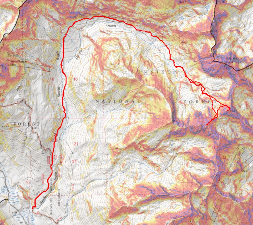
RT Length: 14.51 Miles
Elevation Gain: 4021’
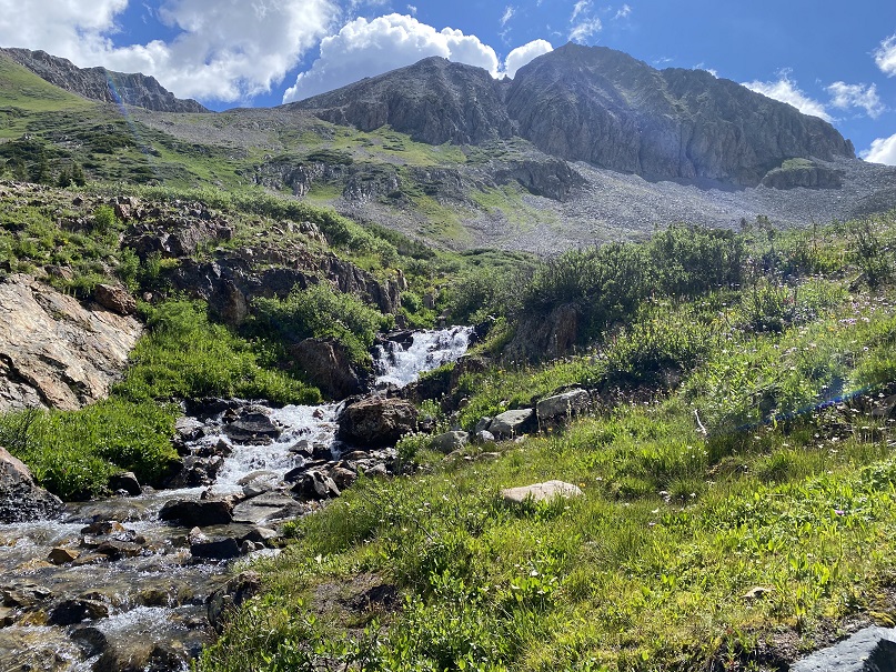
Yes, I’m recycling the approach pictures/description because all the info’s the same. The Rustler Gulch Trailhead was full. I tried to drive up the road several times, but kept getting greeted by vehicles coming down. The drivers didn’t understand up had the right of way, and all of them seemed to be in vehicles too big for them to maneuver. After backing up over half a mile for the third time, I decided to just park below. I’d find out the next day it’s peak wildflower season in Rustler Gulch, and the tourists were flooding in to see them. Parking down below added about 2 miles to my trip and 500’ of elevation gain, which was negligible. Bonus: There was a creek behind me to enjoy as well.
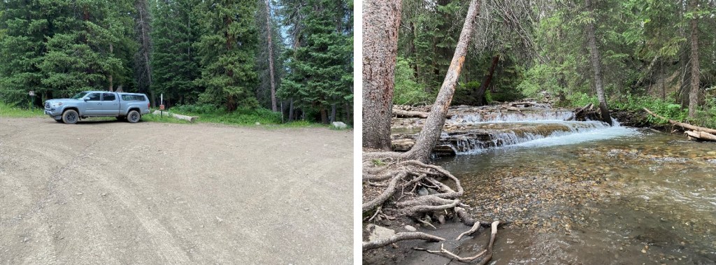
I was on the 4WD road that led to the trailhead at 2:30 am.
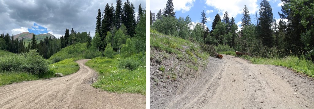
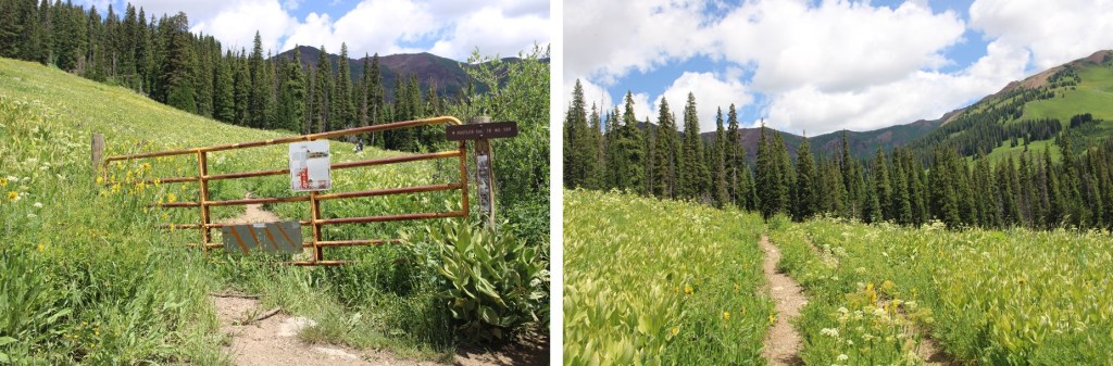
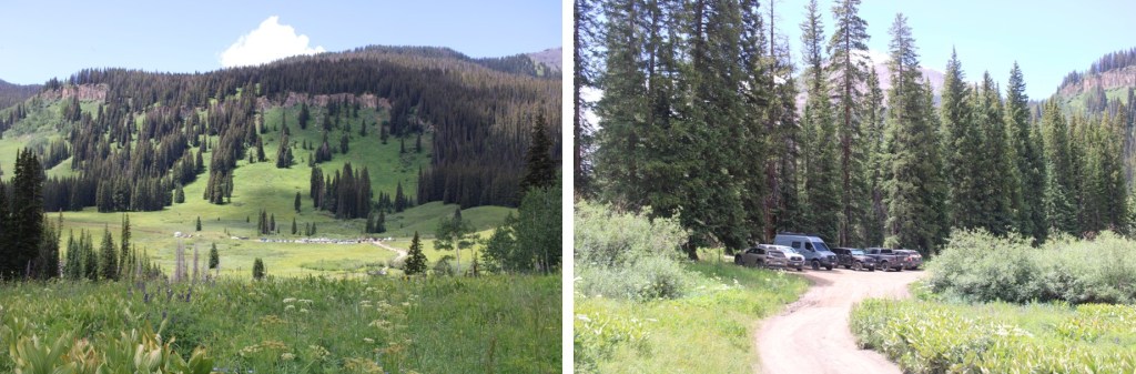
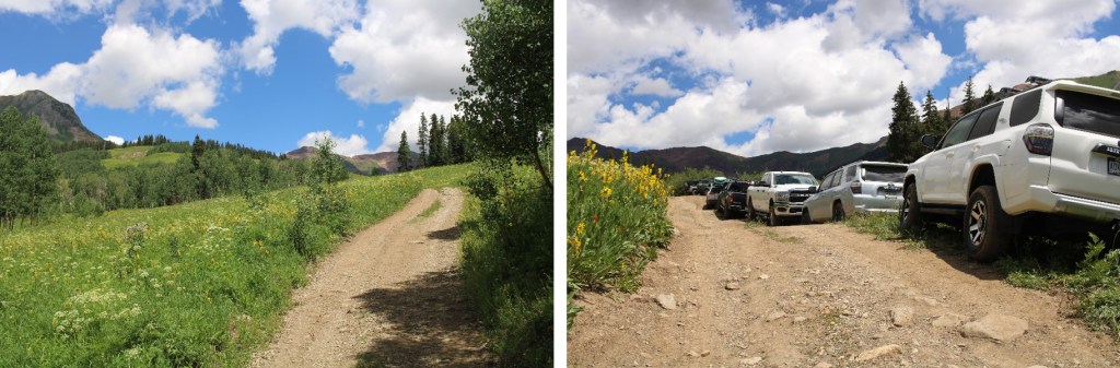
I followed it 1 mile to the actual trailhead, which was overflowing in the afternoon
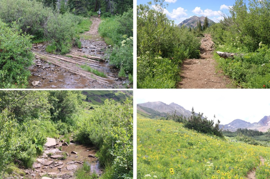
I passed around the gate, and followed Rustler Gulch trail #599 north into the gulch.

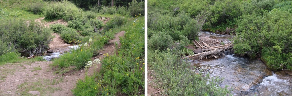
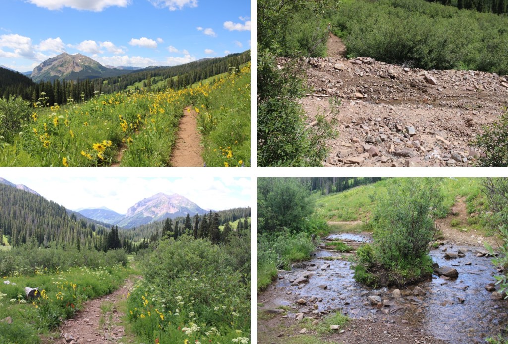
There were several stream crossings to cross, all of which had rocks or logs so my feet didn’t get wet.


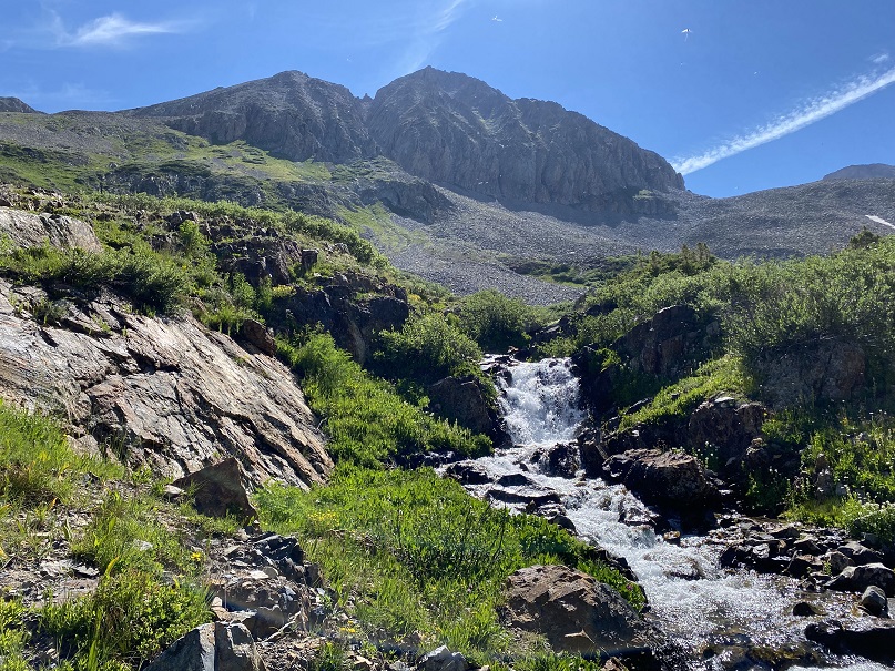
When I got to this creek crossing, I went right, and found a footbridge

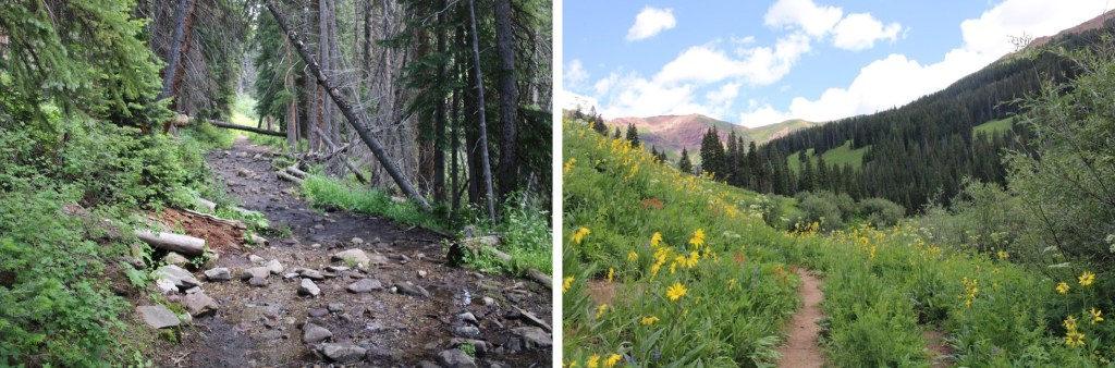
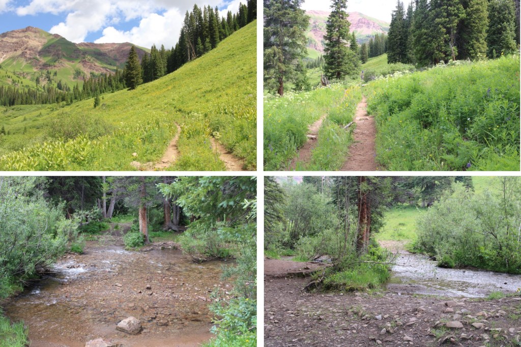
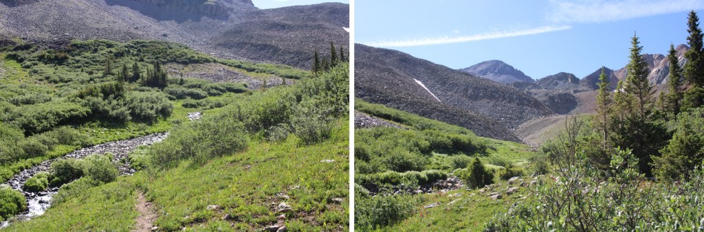
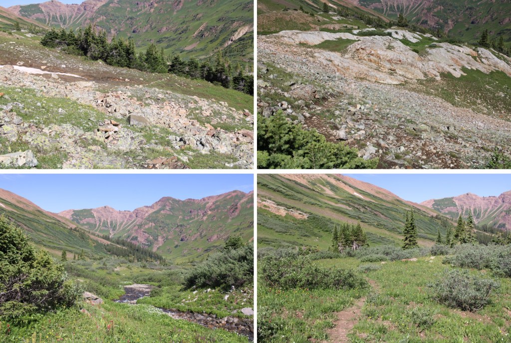
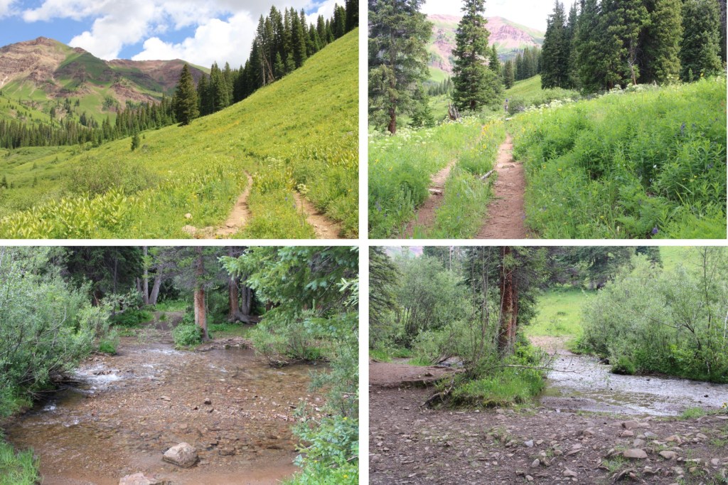
I continued following the trail, and crossing creeks, through the gulch on a well-marked trail

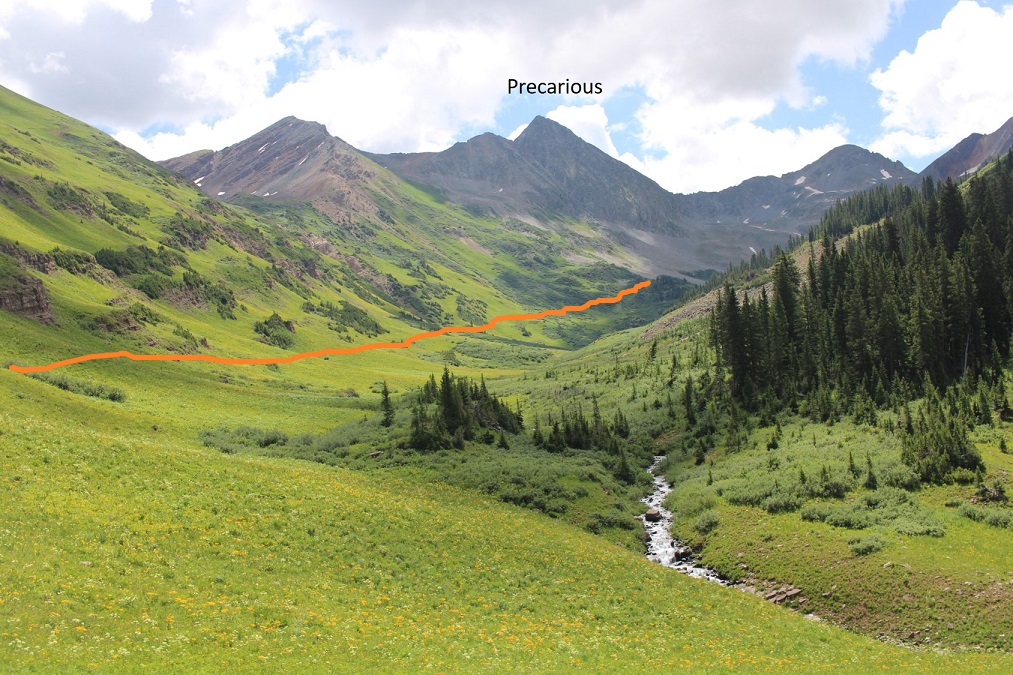
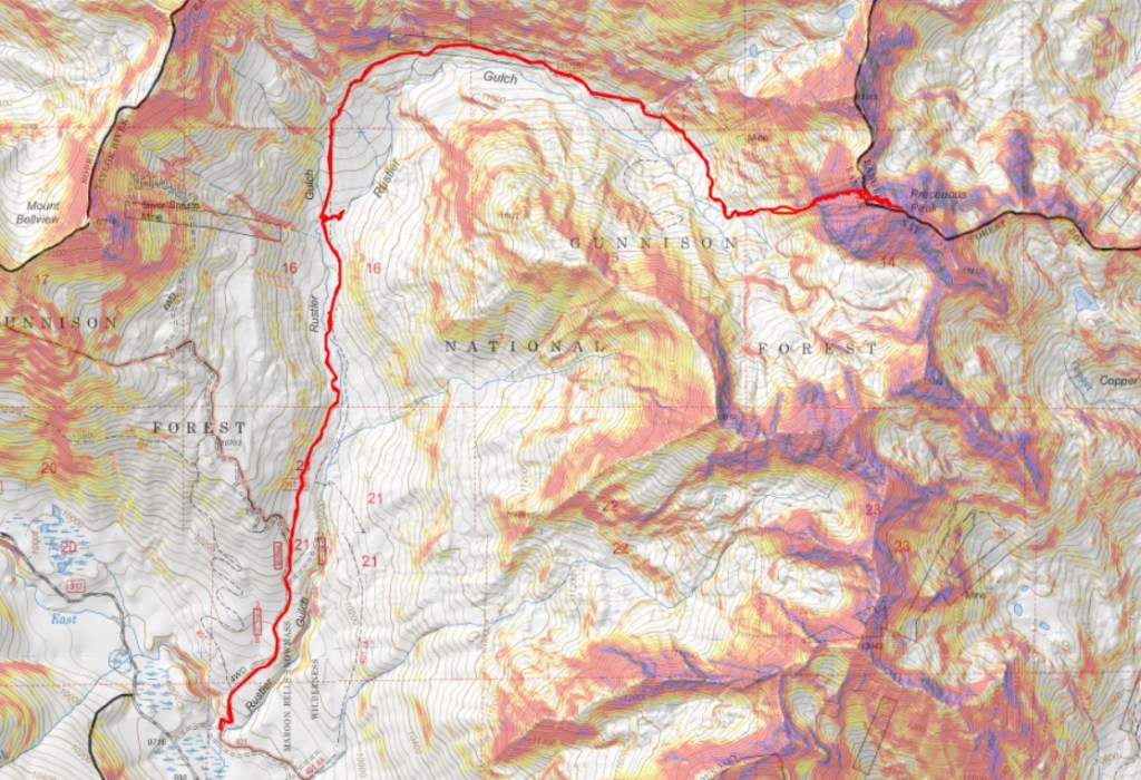
Here’s my route into the upper basin. This is all done on a class 1 trail

Here are some more pictures

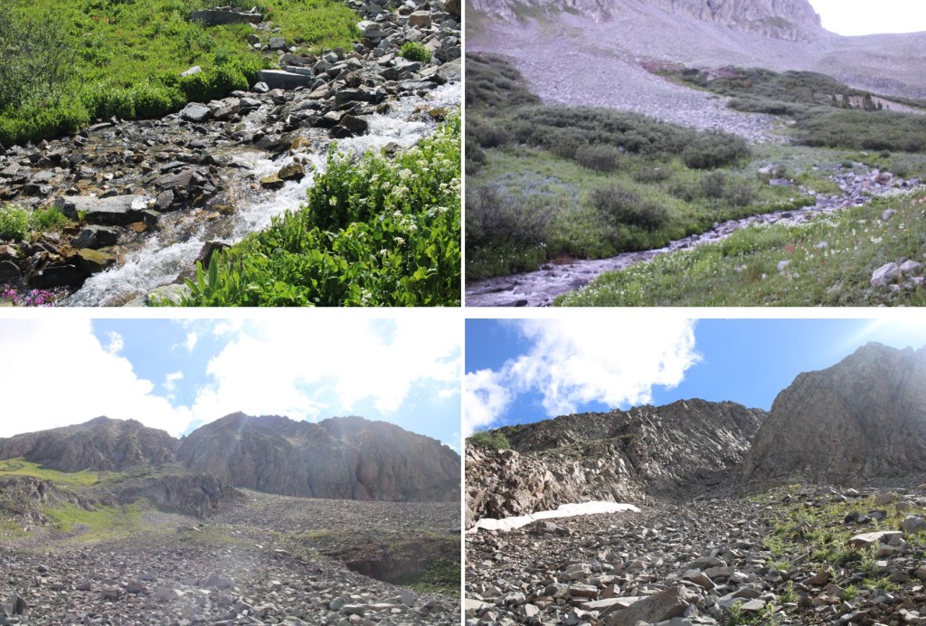
After hiking for 5.3 miles, I crossed a creek, and continued following the trail. The trail became faint, but if I looked closely, I could follow it all the way to the rocky basin
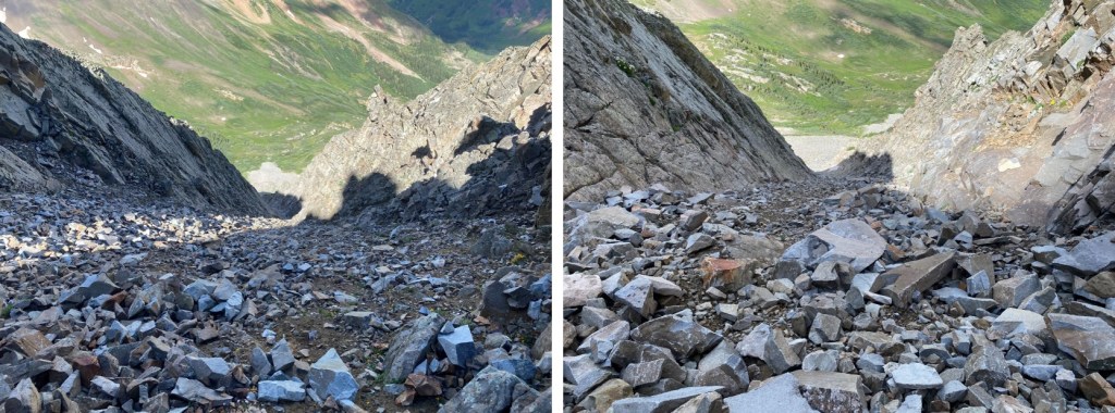
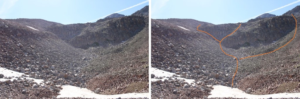
I needed to get to the upper basin. There are several ways to do this. I took the gully to the left, but you could also go right.

Here are pictures of my way up the gully

You have several options
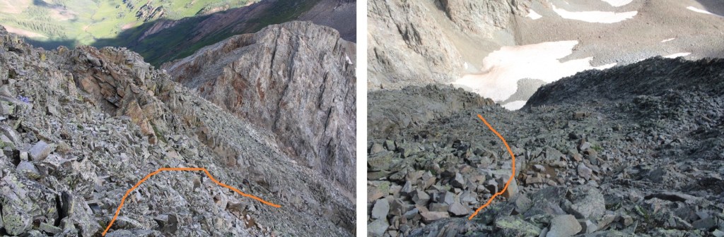
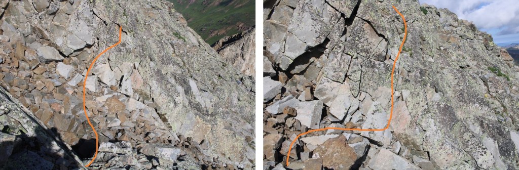
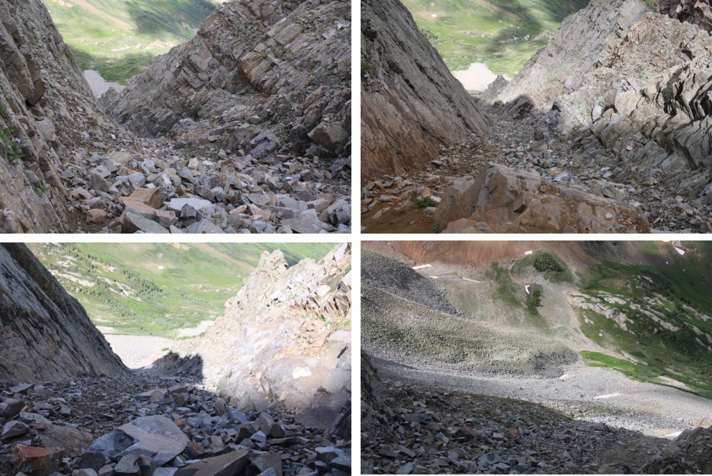
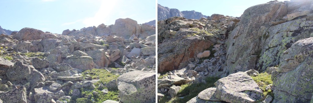
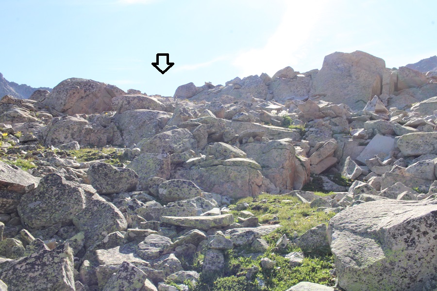
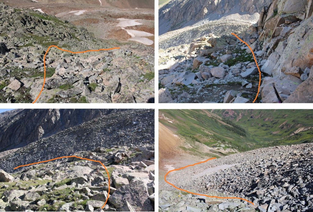
Once in the upper basin, I navigated the rock outcroppings to the right/southeast. Here’s my route

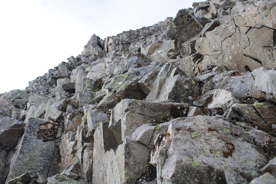
Now to get up these rocks. This was an easy scramble, and choose your own adventure.

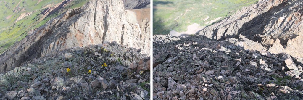
I now had a clear picture of Cassi Peak. This is the route I took to get to the top of the last set of rocks

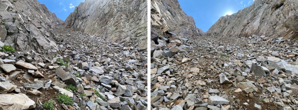
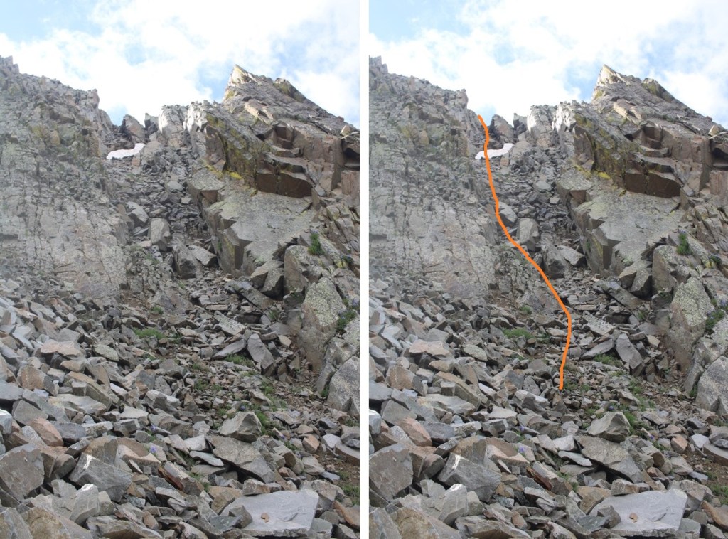
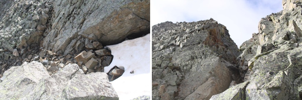
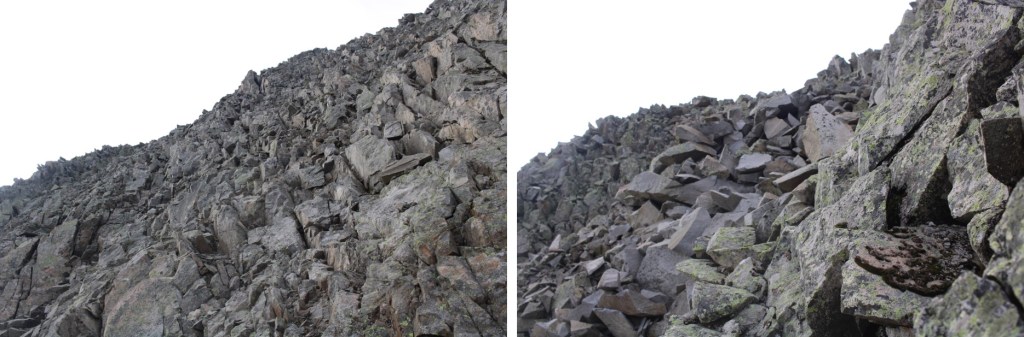
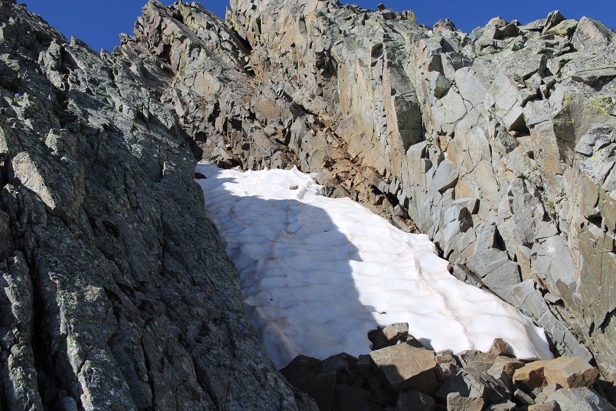
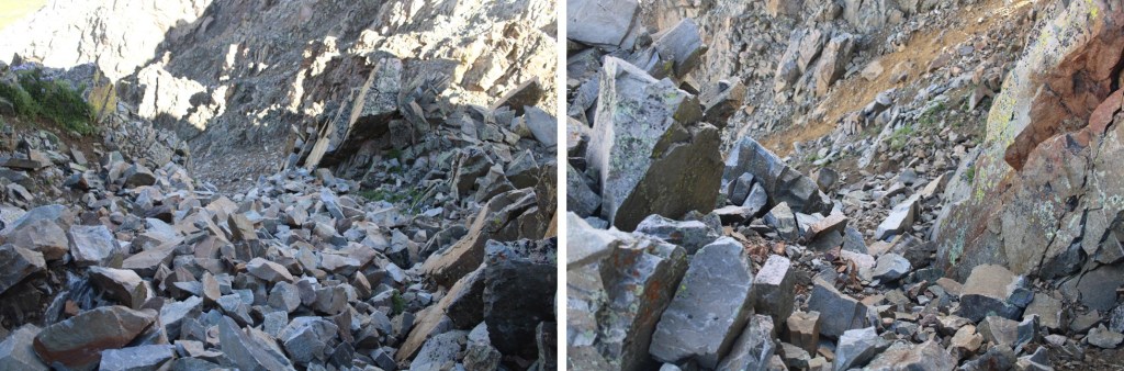
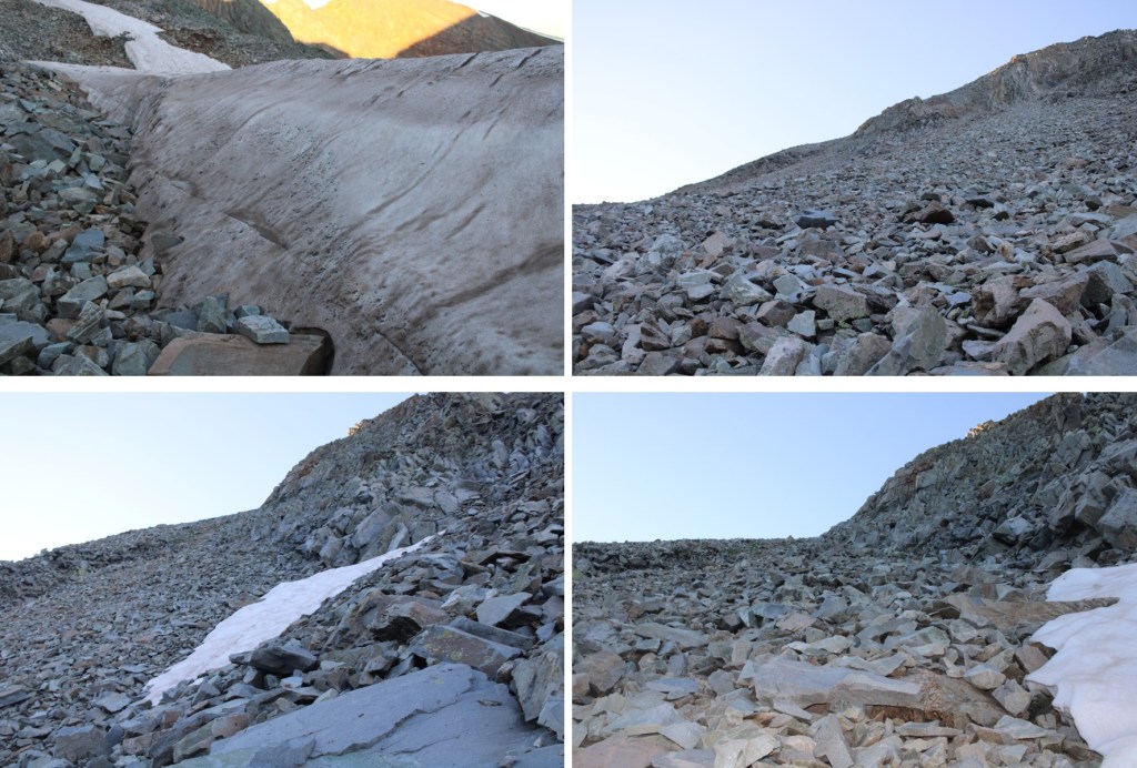
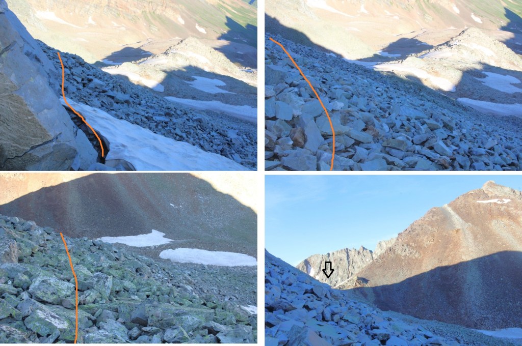
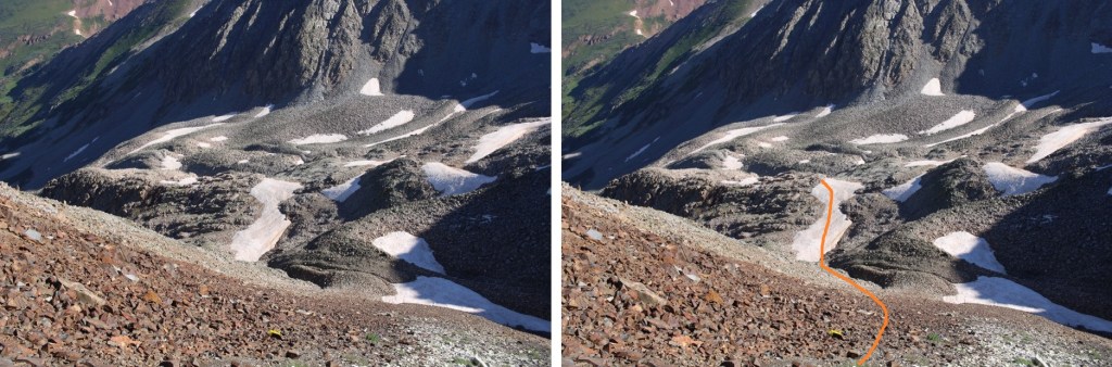
Now to get up to the ridge. This is the route I took, all class 2. The rocks were mostly stable, but the gully was steep. I had to cross a solid streak of snow several feet deep at the beginning, and was glad I’d brought microspikes

Here are some pictures of the route up the gully
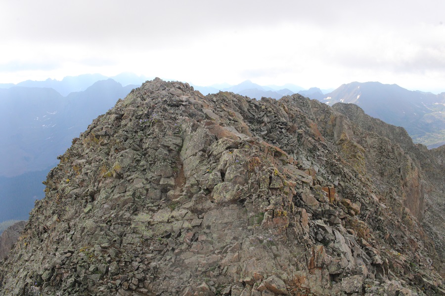
Once up the gully, I aimed for the ridge, which was much more solid

Once on the ridge, I followed it south, then west to the summit


I summited Cassi Peak at 7am
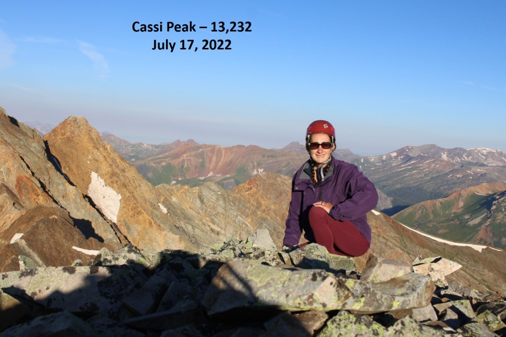
Cassi Peak:
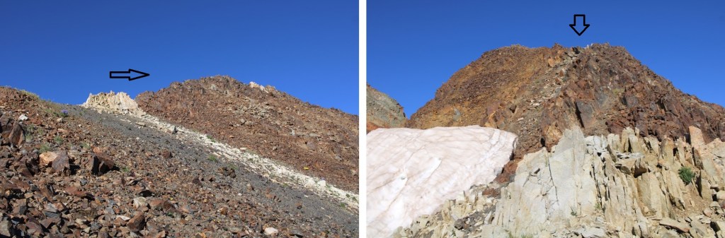
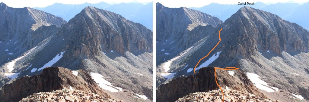
From the summit I could see Golden Tops to the southwest.

To get there, I re-traced my steps back down the ridge and through the gully
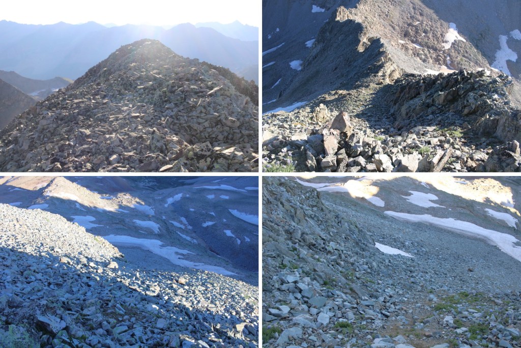
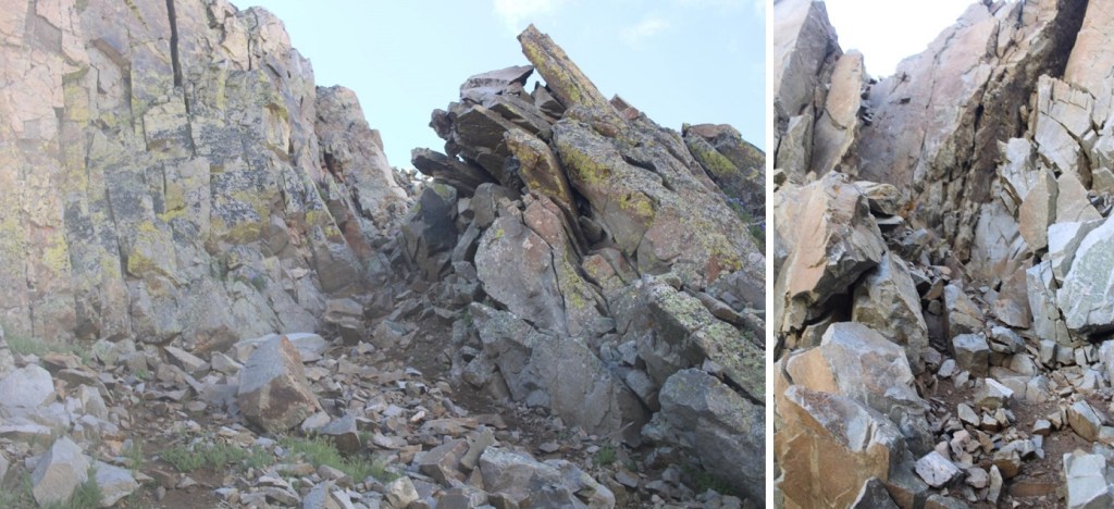
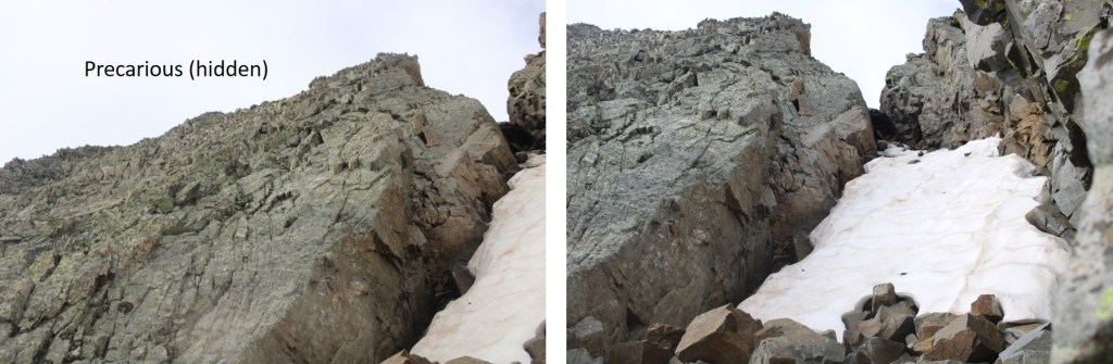
This time, when I made it to the gully, I stayed high. I actually crossed above the snow, and gasped as two boulders larger than microwaves cleaved off the rocks. Be careful in this area near the rock walls. I stayed high, as I was aiming for the Cassi/Golden Tops saddle
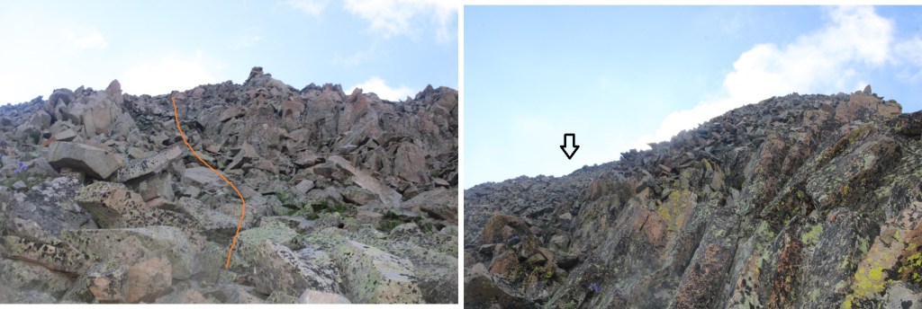
I climbed up some scree to the saddle

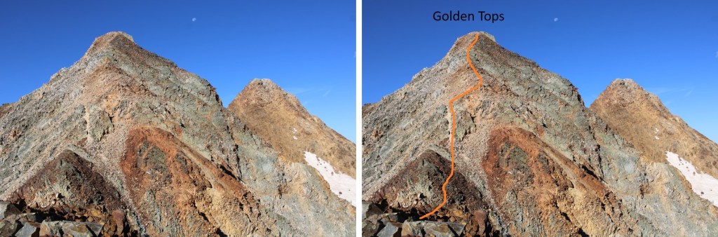
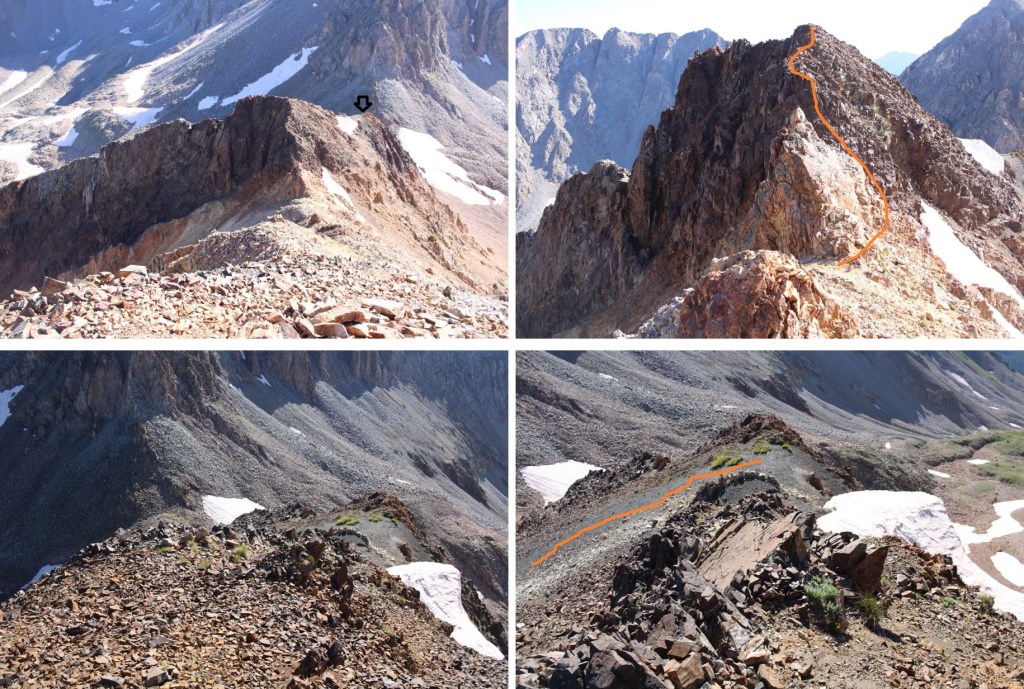
Then turned right, and followed the ridge. This was class 2, with some easy class 3 scrambling thrown in. The route will be obvious: just follow the scree rubble west

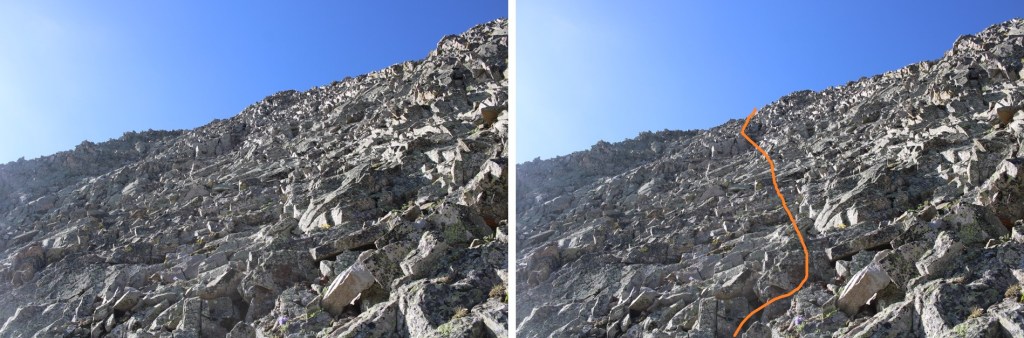
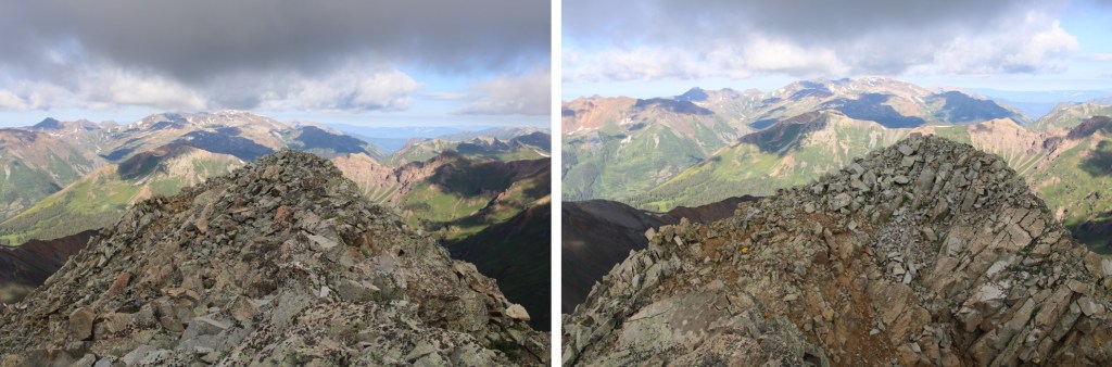
From the top of the first point I could see Golden Tops to the southwest. This is my route
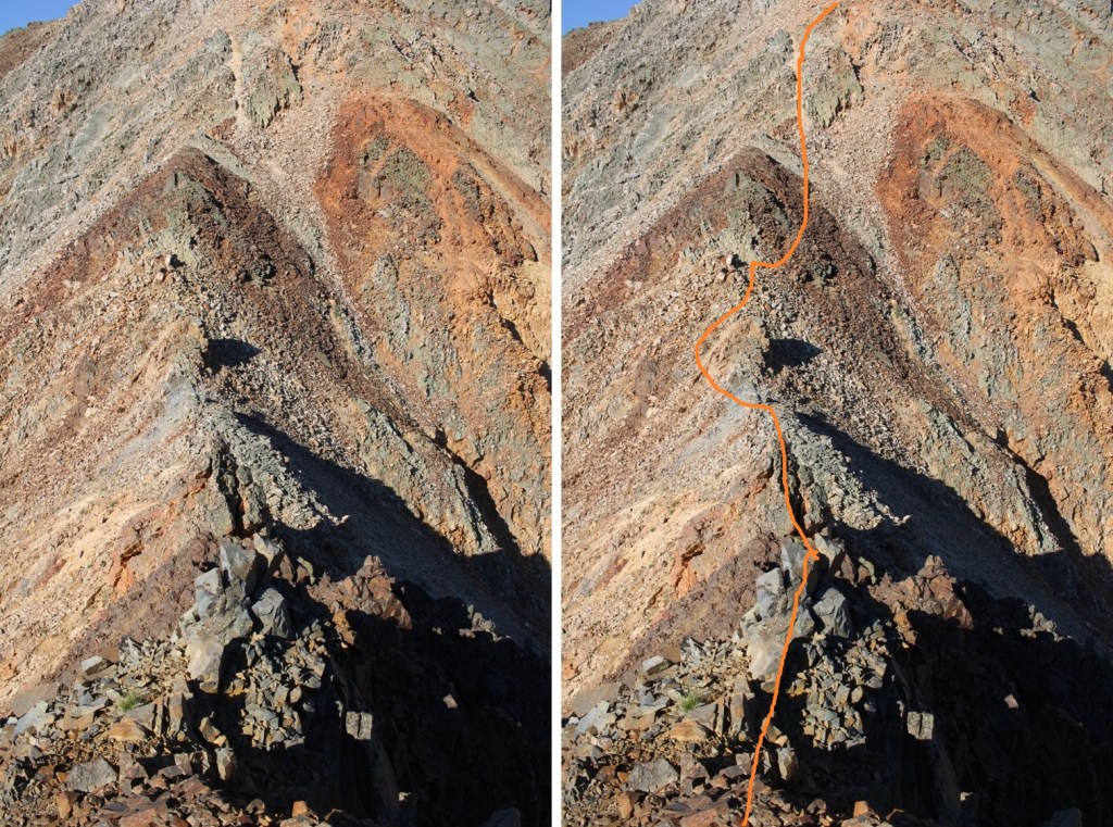
And some step-by-step pictures. This is where the climb becomes class 3, heading down this small saddle. This is how I navigated the class 3 section, by going straight up and over the first obstacle, which is like a mini knife edge, then around the second to the left.
The rest of the route followed the ridge to the summit

I summited Golden Tops at 8:30am
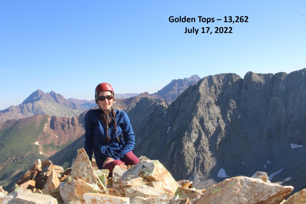
Golden Tops:
Looking back, here’s my route from Cassi Peak
Now to head back to the Cassi/Golden Tops saddle
Just before making it to the saddle I turned left, and scree-surfed north, back to the rocky ledges I’d ascended that morning

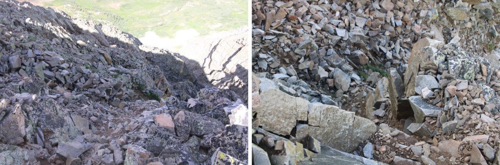
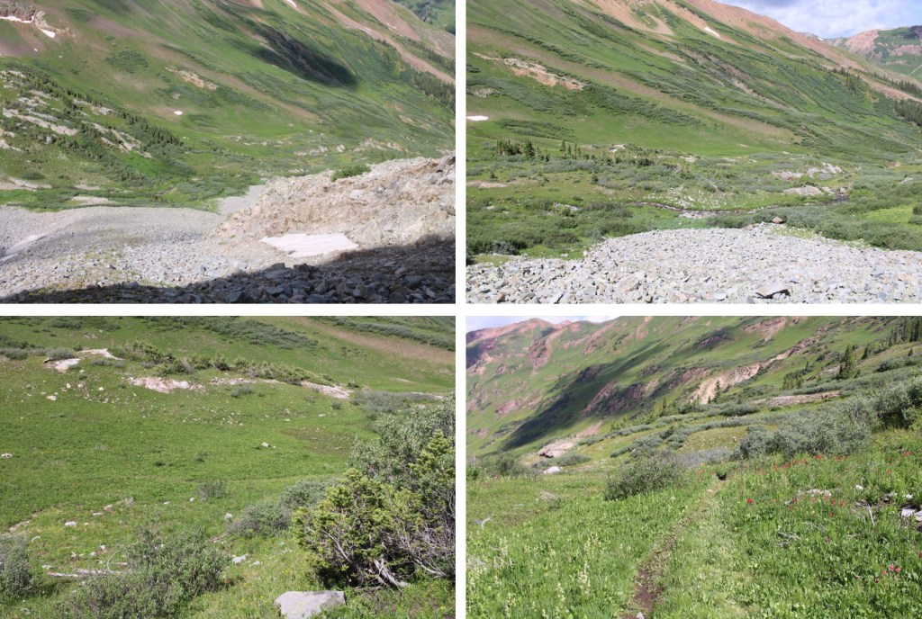
And now to exit the upper basin and head into the gulch
Here I picked up the faint trail that brought me back to the waterfall and the mining area
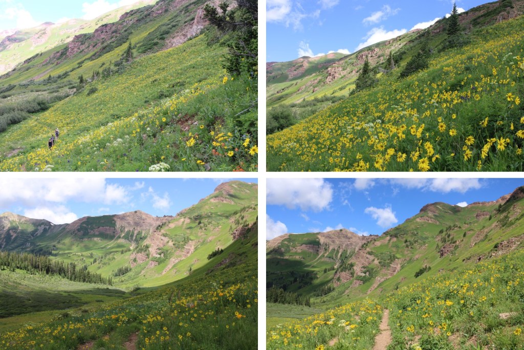
There were so many people, and so many wildflowers! I can see now why this trail was so popular.

Rustler Gulch Wildflowers:
Here are a few pictures of the way back to the trailhead

And from the trailhead to my parking spot

Here you can see even more of the overflow/2WD parking below

I made it back to my truck at 11:30am, making this a 14.51 mile hike with 4021’ of elevation gain in 9 hours.
On to the next trailhead!