RT Length (from basecamp): 1858’
Elevation Gain (from basecamp): 5.12 miles
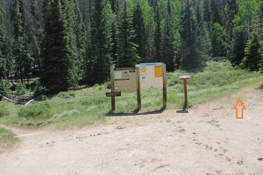
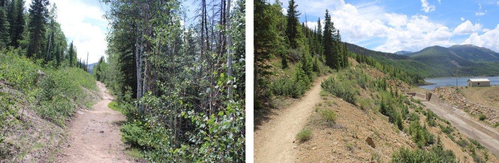
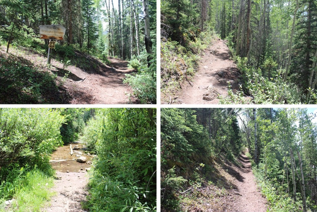
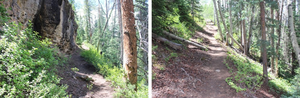
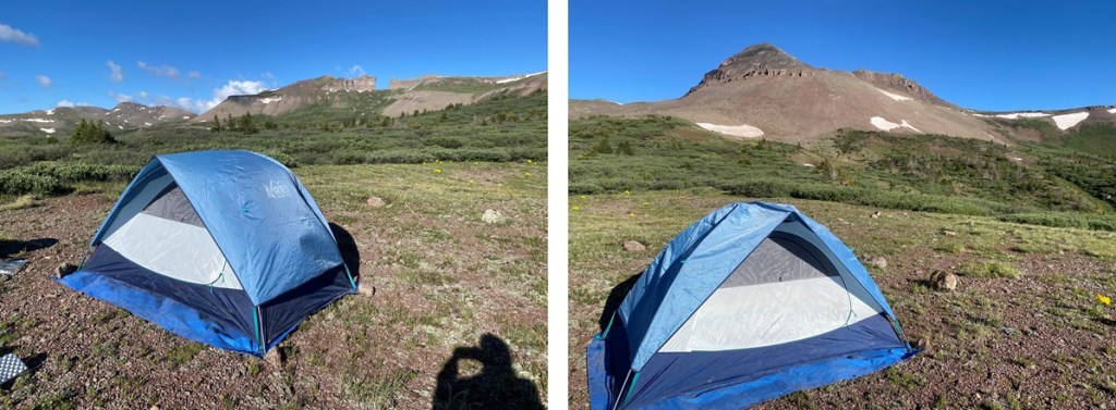
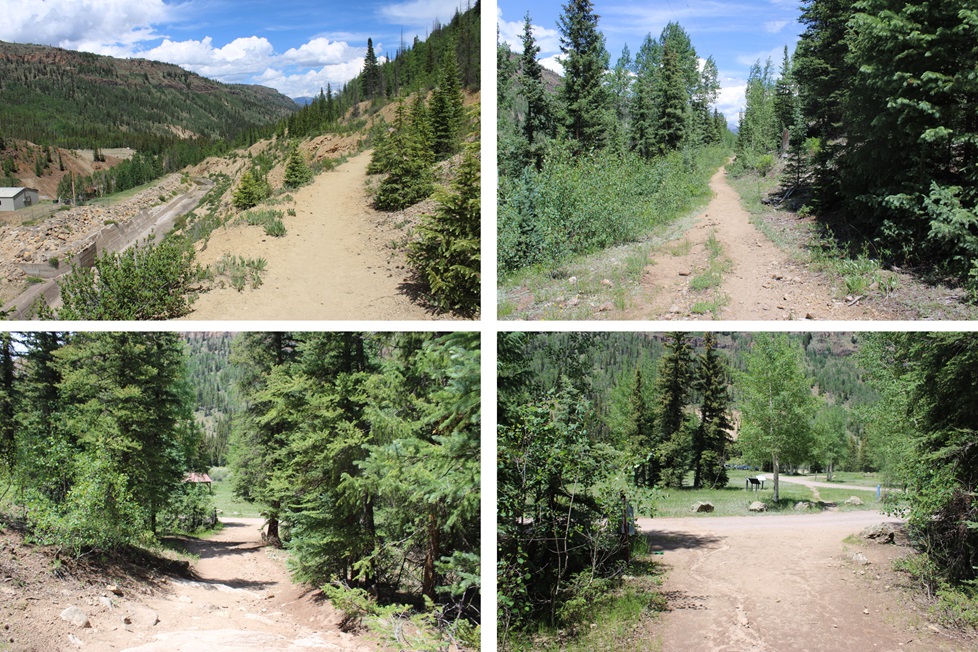
Note: there’s a long approach for these peaks, so I decided to make this a backpacking trip. I found a great basecamp for the Rio Grande Pyramid 13ers (and others). The approach is about 10 miles and 3100’ of elevation gain, coming from Thirtymile Campground. The approach can be found here. I started from Thirtymile campground at 2:30am and made it to 12210’ at 7:30am.
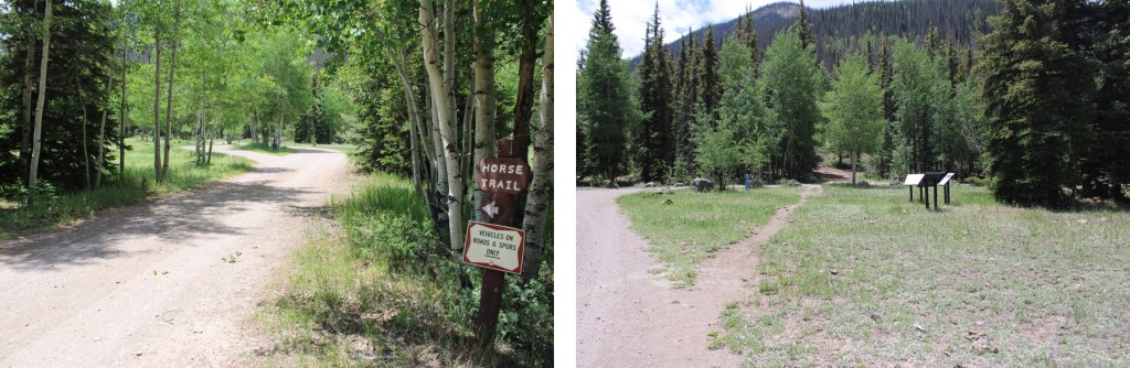
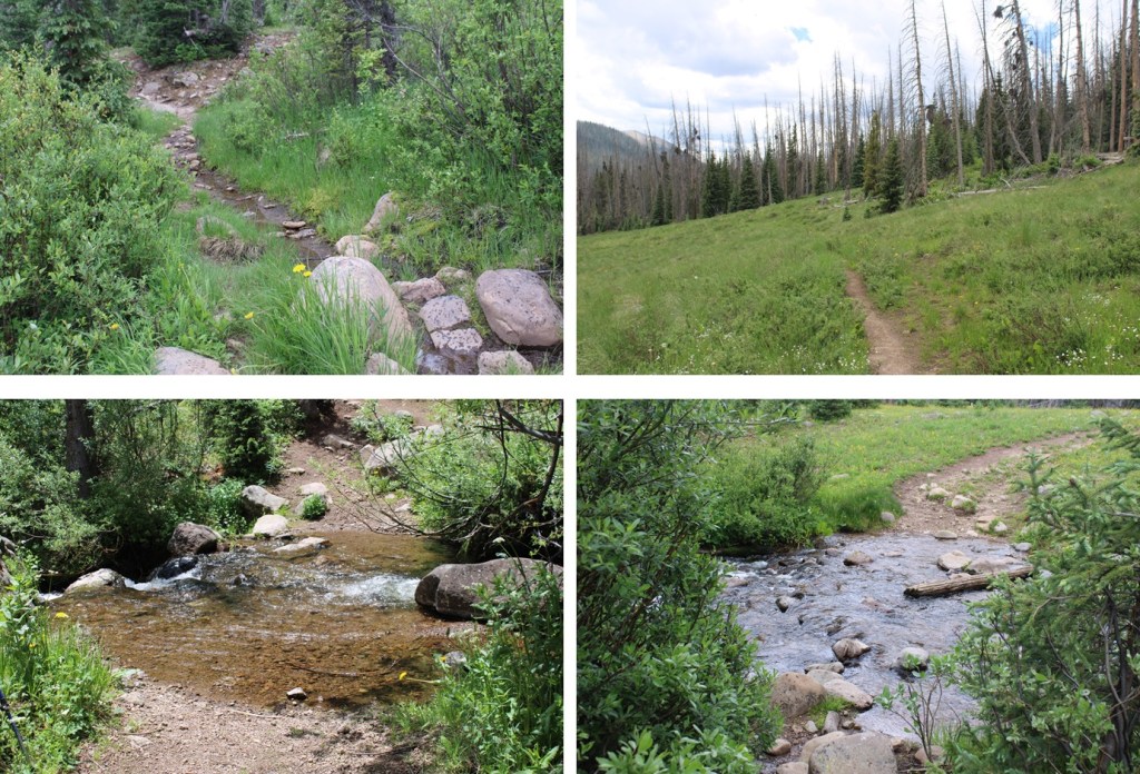
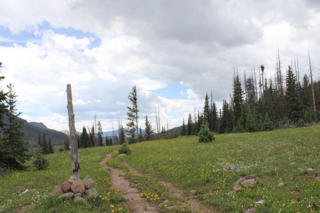
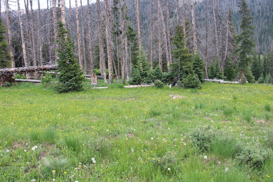
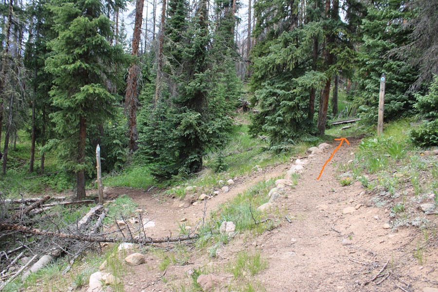
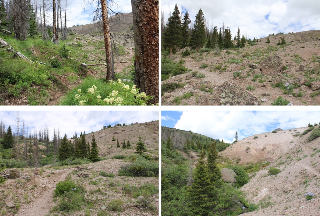
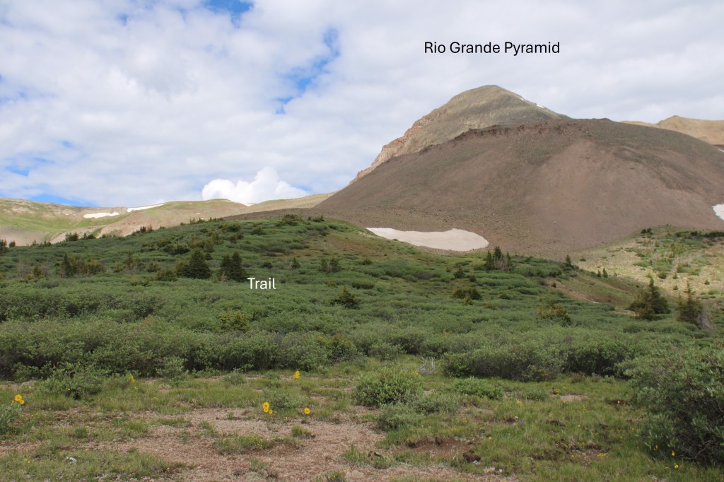
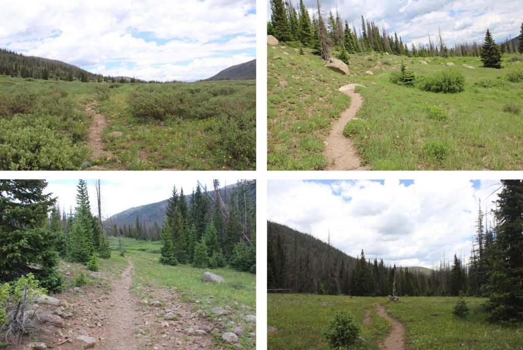
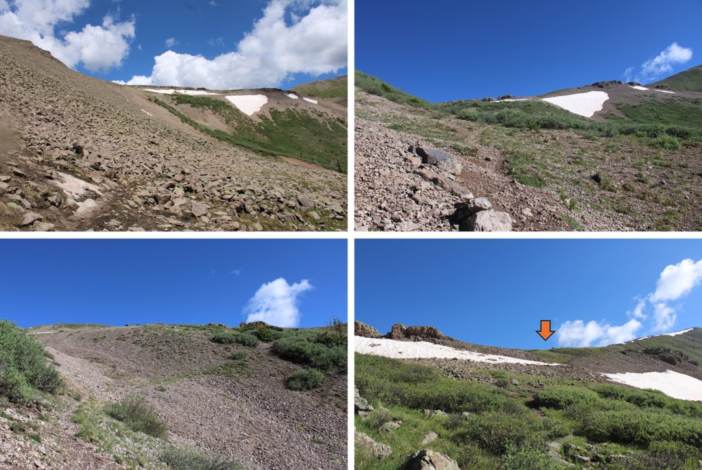
I took some time to set up my campsite, and was on the trail again at 8:30am. From my campsite near the Continental Divide Trail I headed northwest. Maps show a trail here (Skyline Opal Lake Trail), but it was difficult to find. Much of the trail was overgrown with willows and grass, so when I couldn’t find a trail, I kept heading northwest, and eventually found it again.
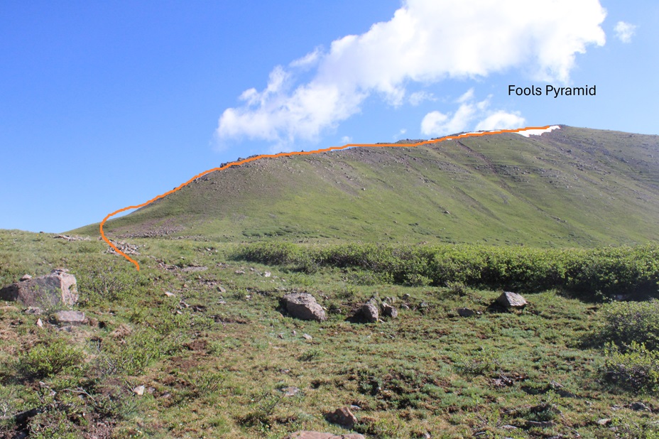
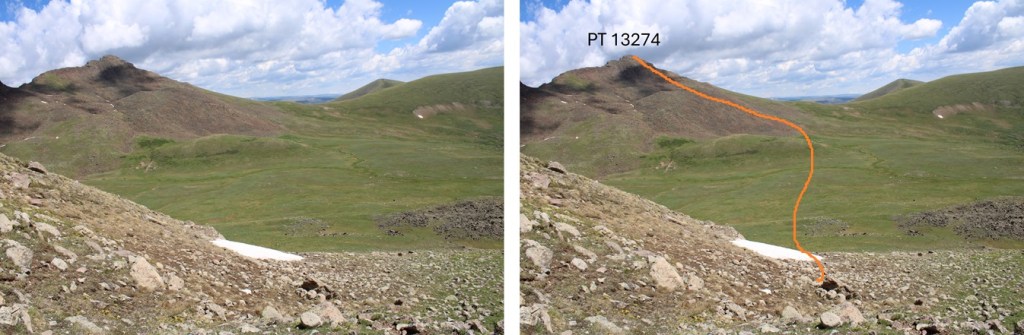
This is the overall route I took to gain the saddle between Rio Grande Pyramid and Fools Pyramid:
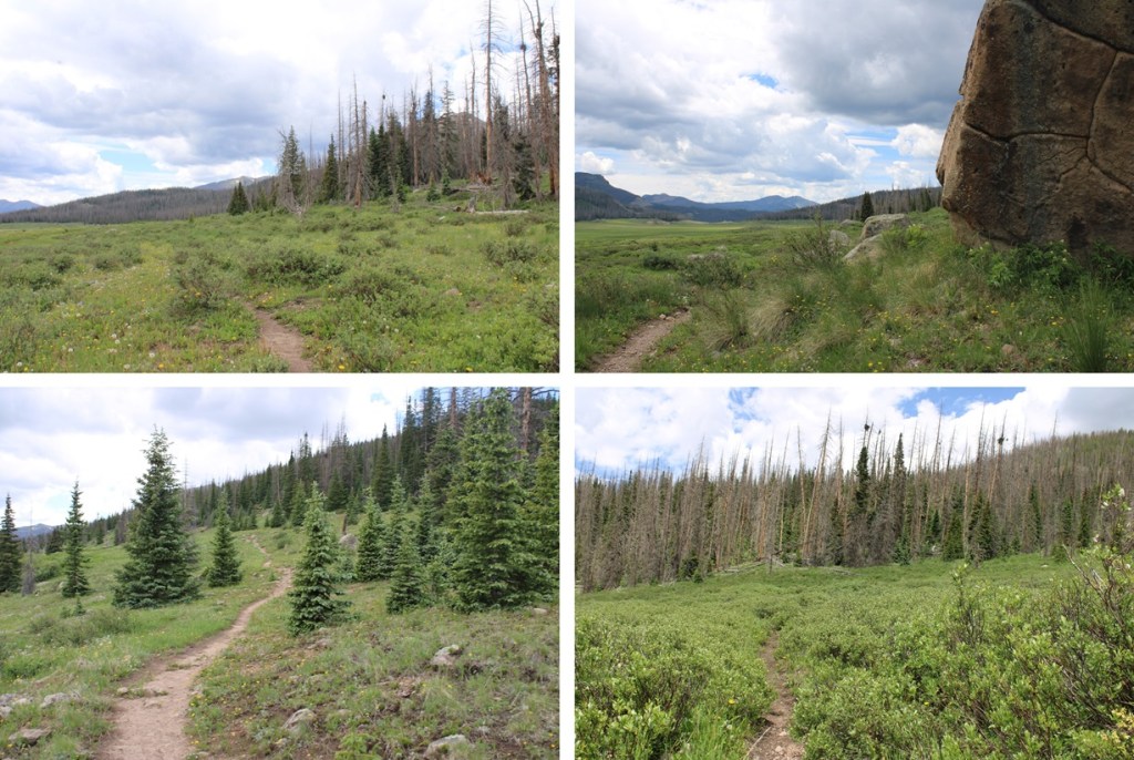
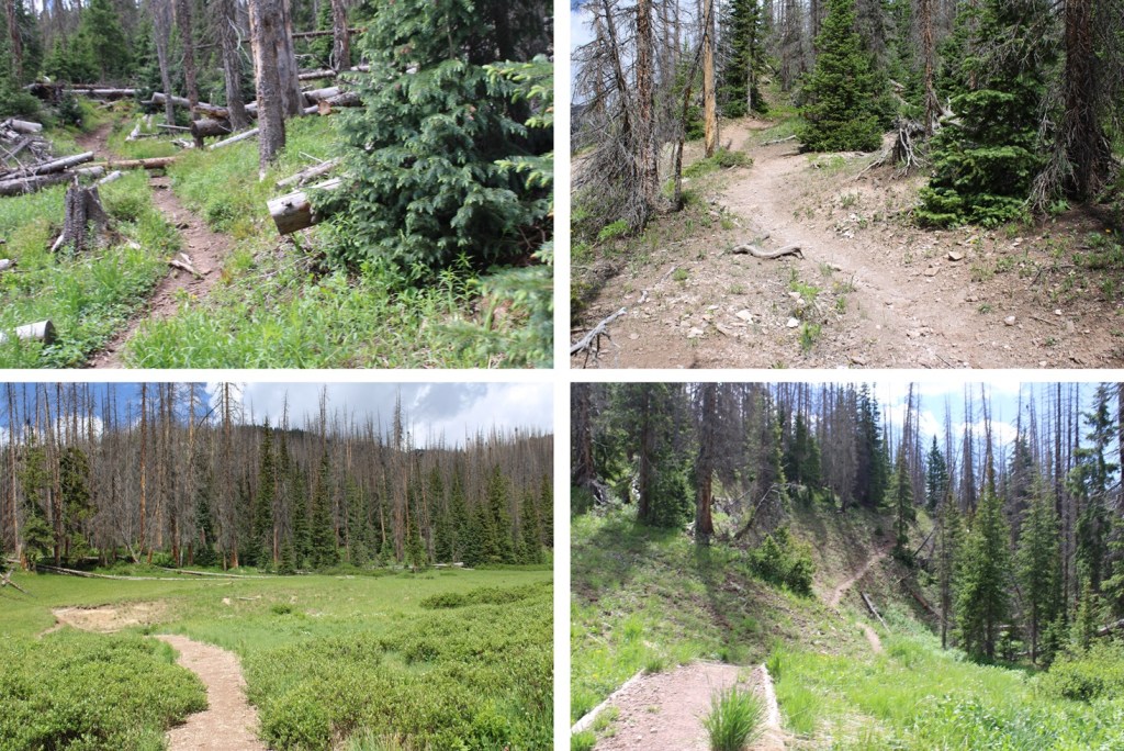
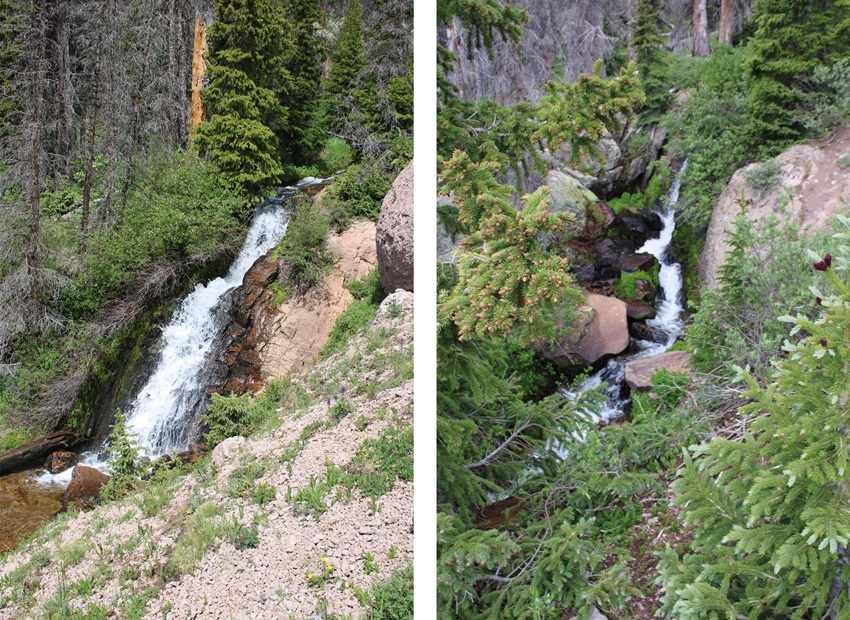
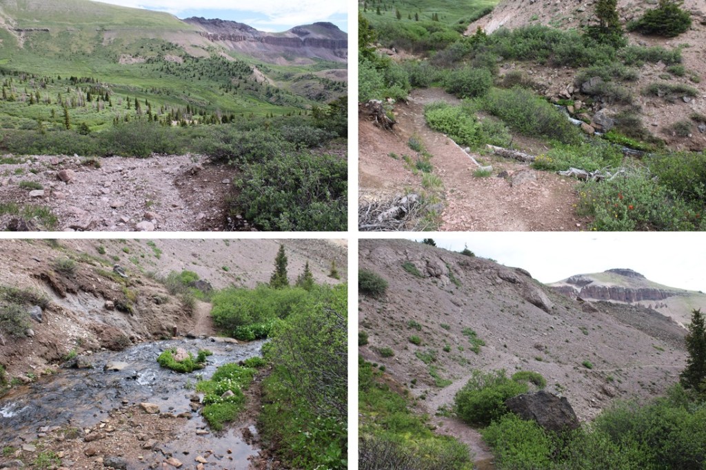
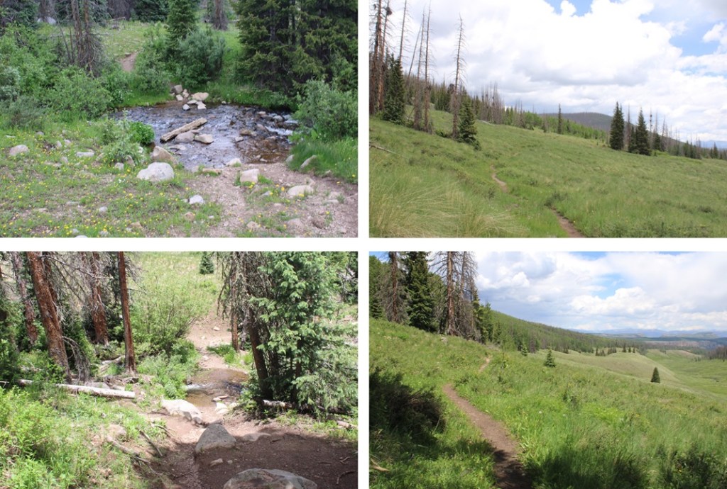
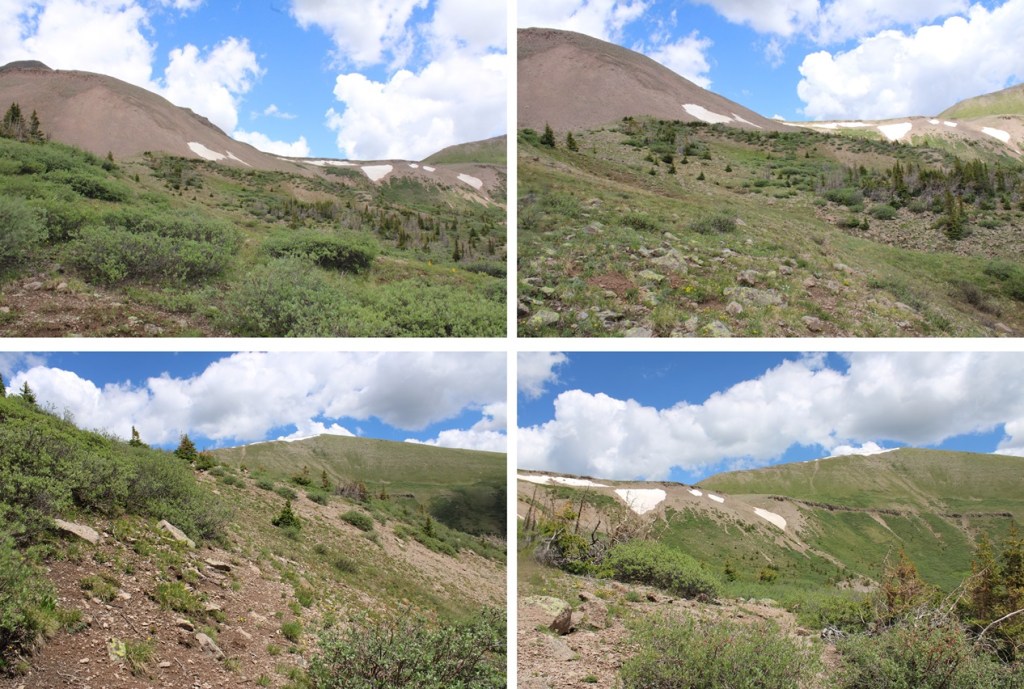
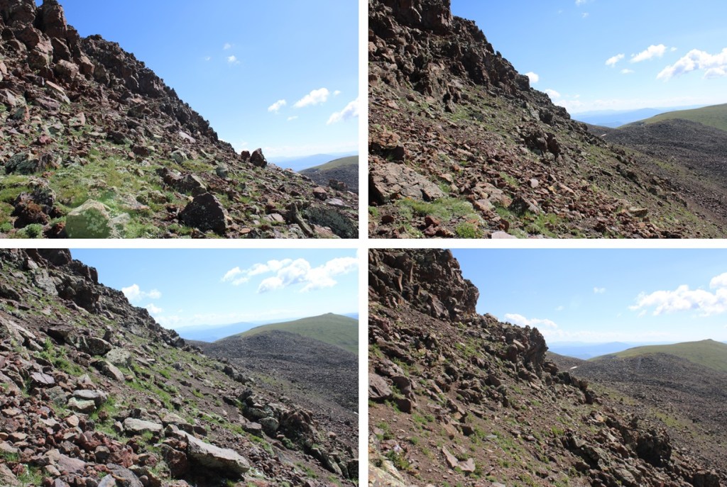
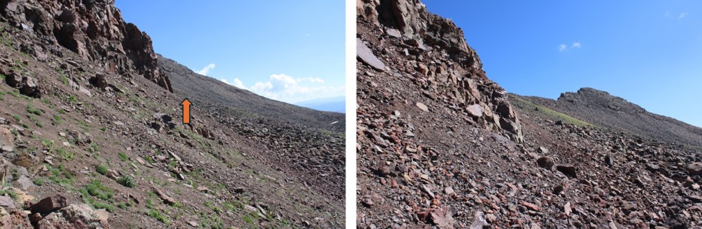
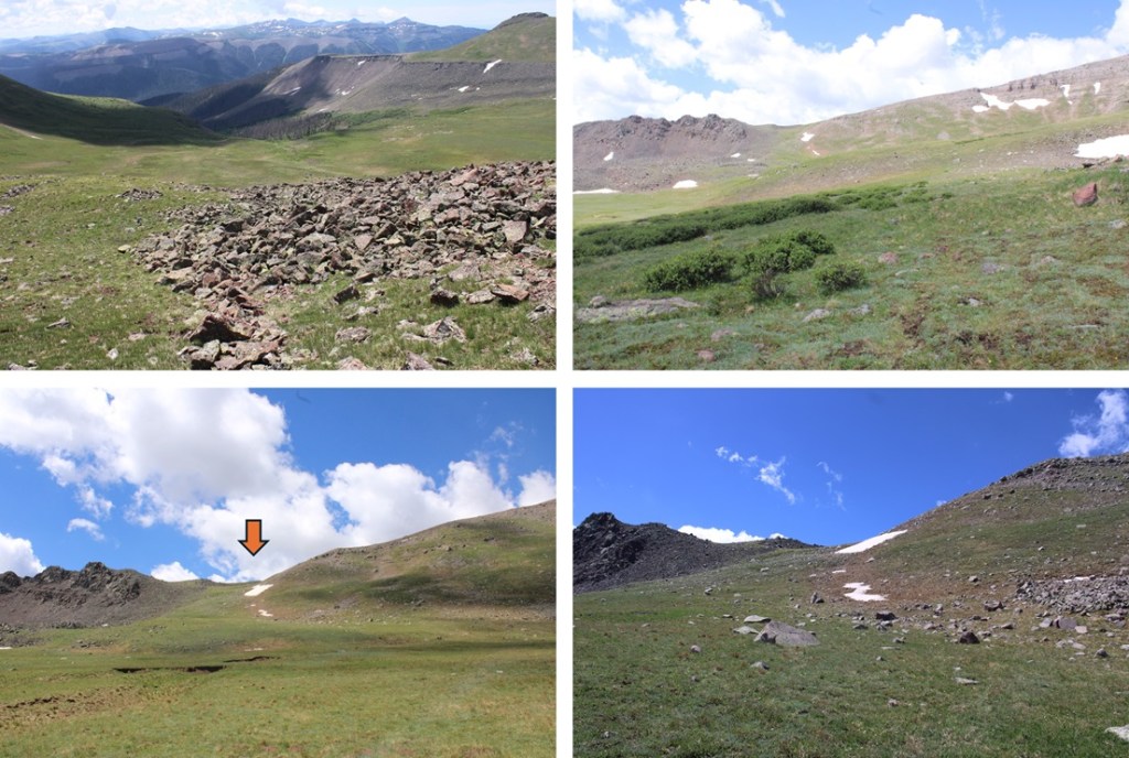
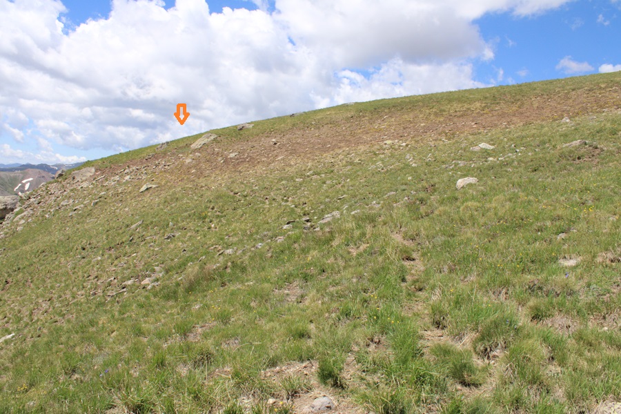
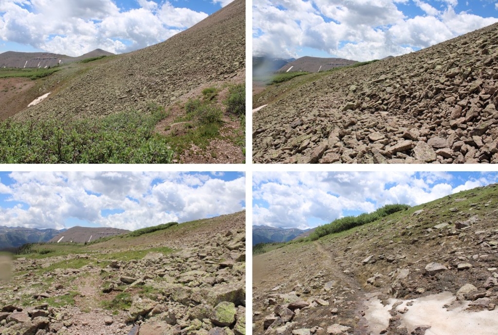
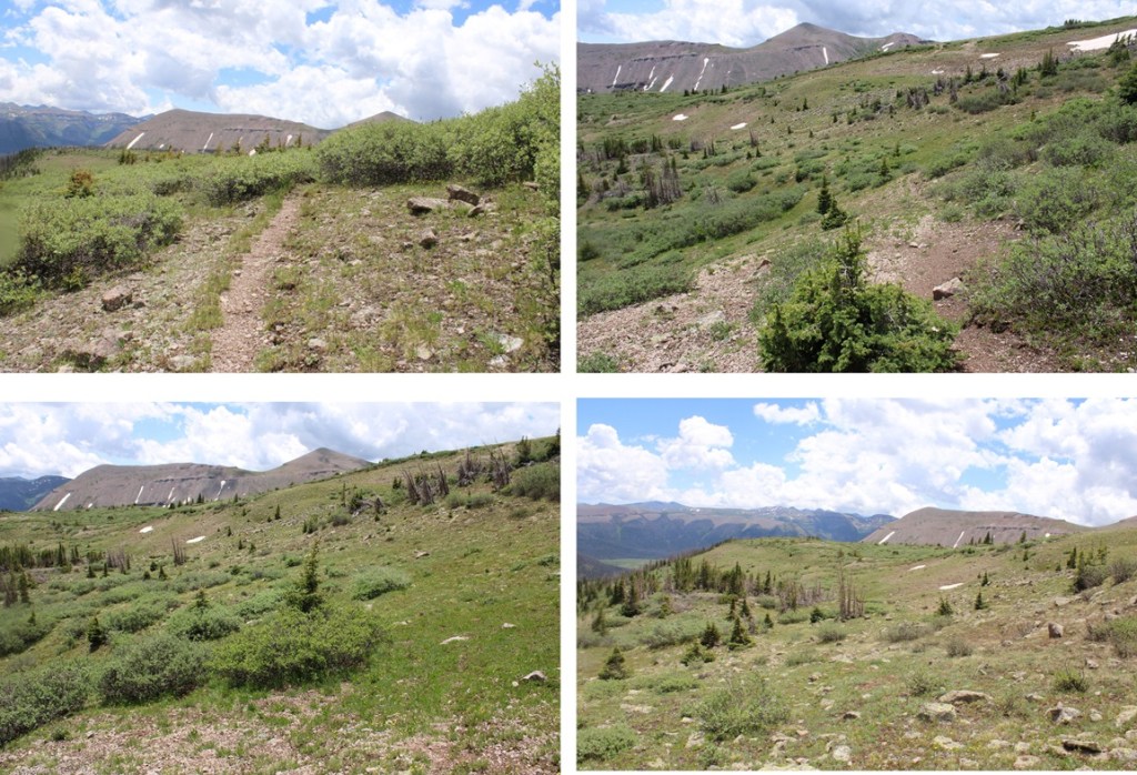
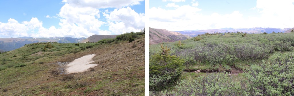
There is a point where you have the option to go east through the willows, or north on the gravel. It’s a difficult junction to see, but if you see it, go north (it’s the way you’ll want to go anyways, because it’s a more defined trail. Here are some pictures of the route to the saddle
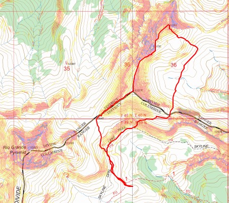
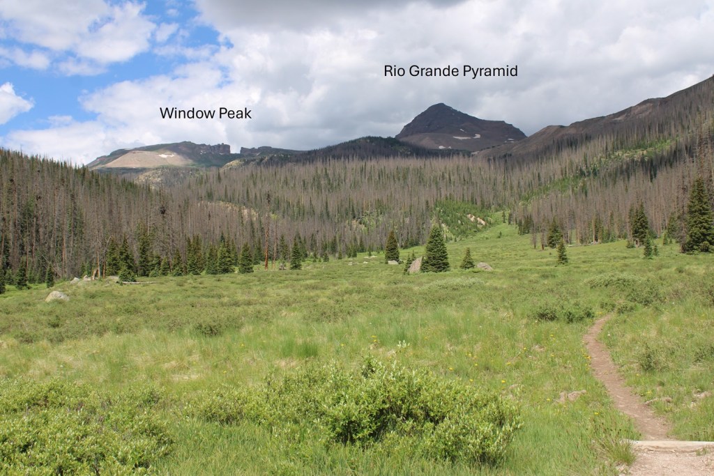
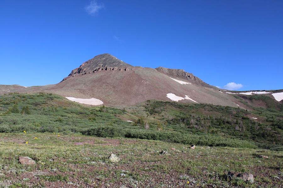
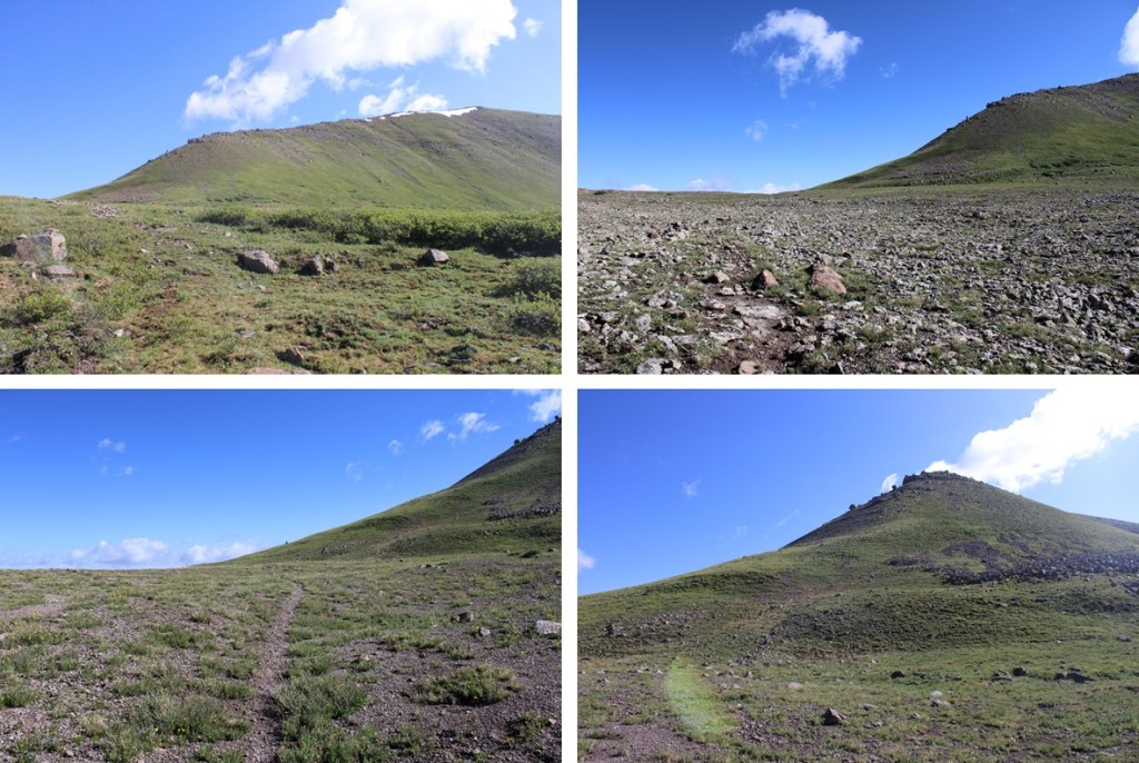
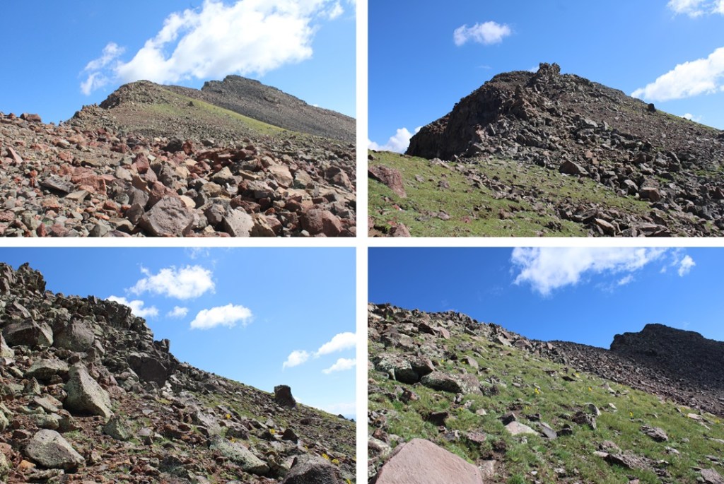
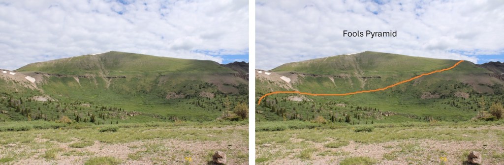
Once at the saddle, I had a clear view of Fools Pyramid

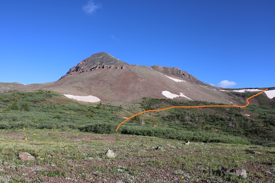
As you can imagine, it was an easy class 2 tundra walk to the top, with some rocks thrown in. Here’s the overall route I took, heading straight for the ridge and then climbing the ridge to the summit:

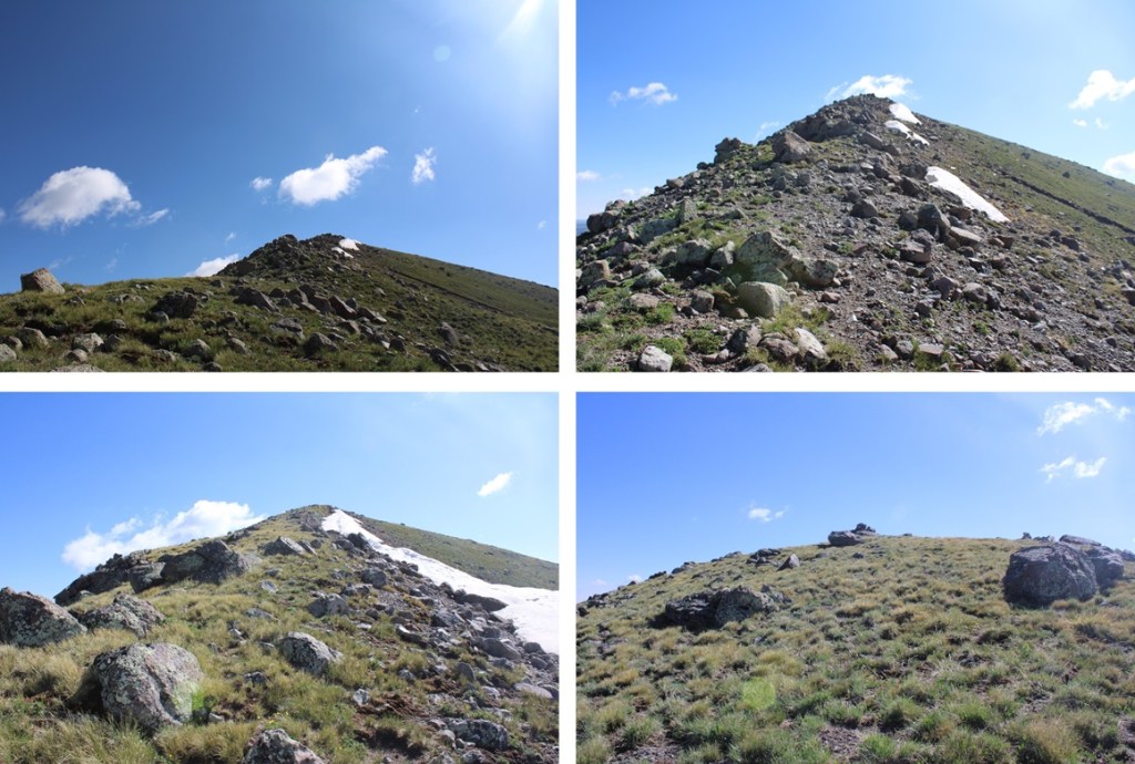
I summited Fools Pyramid at 9:30am
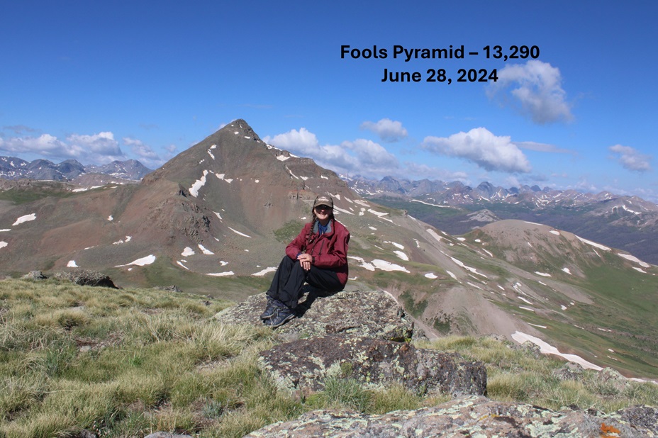
Fools Pyramid:
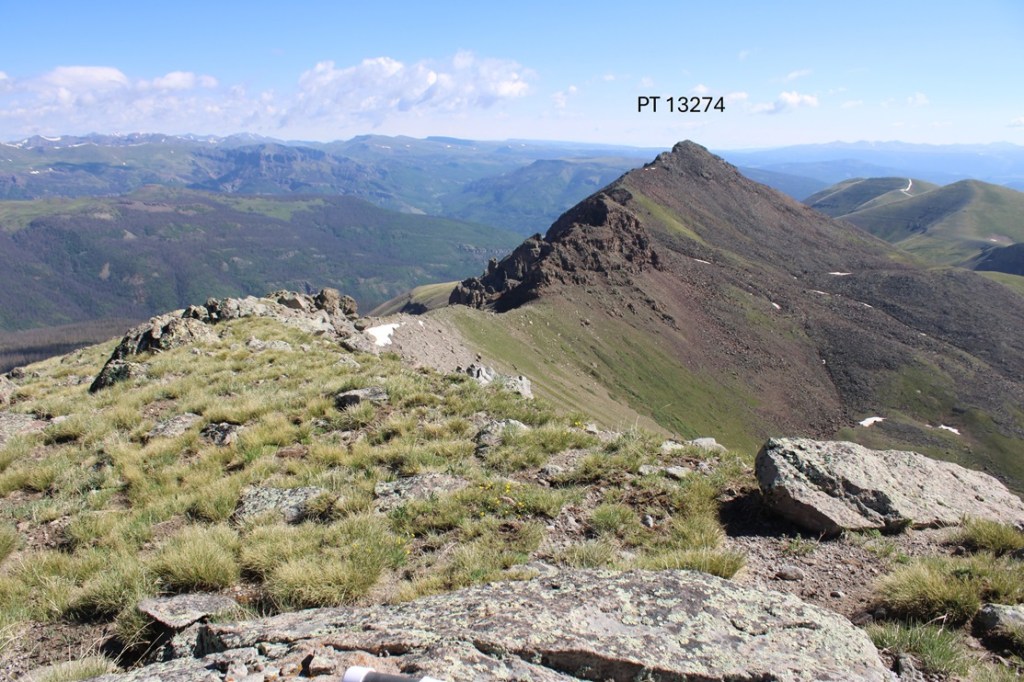
To the northeast I could see PT 13274
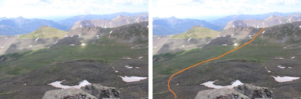
This looks daunting, but the route can be kept class 2 if you skirt the ridge. Here’s the overall route I took:

First, I headed north towards the Fools Pyramid/PT 13274 saddle
At the saddle I skirted the crumbly rock formations to the right, dropping down to about 12990’
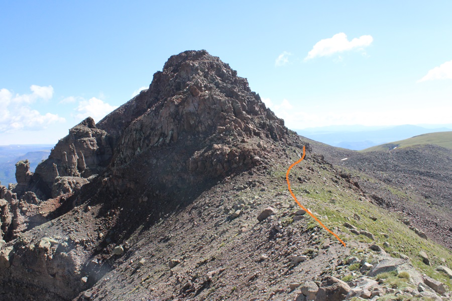
Then I found a gully and re-gained the ridge.

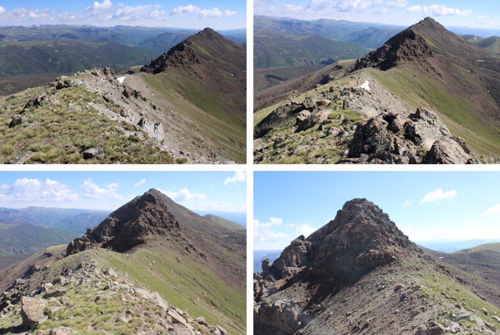
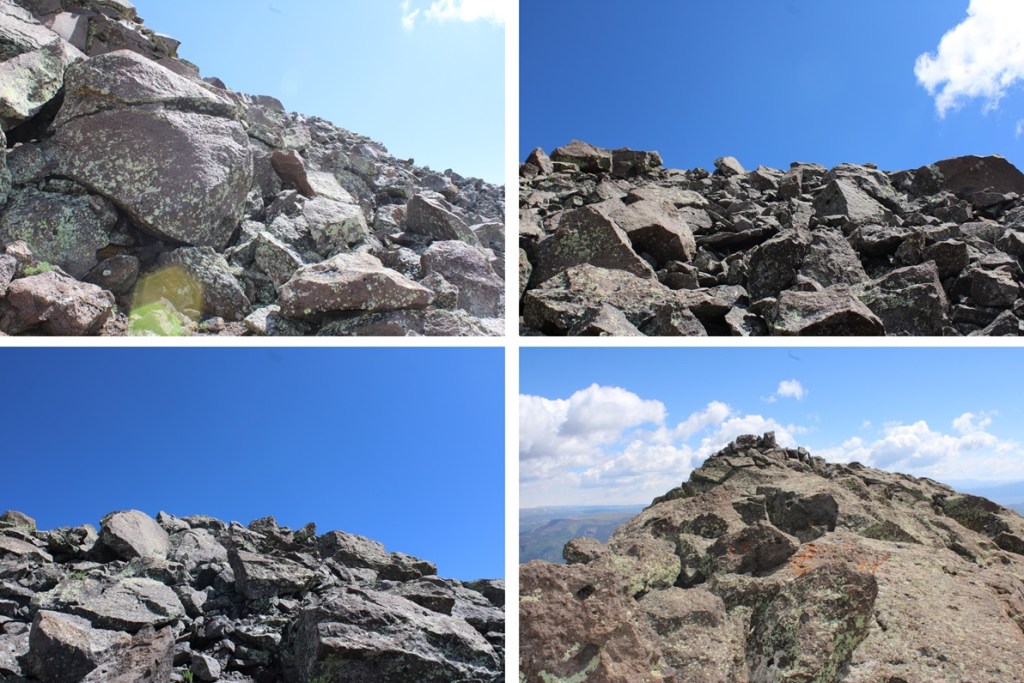
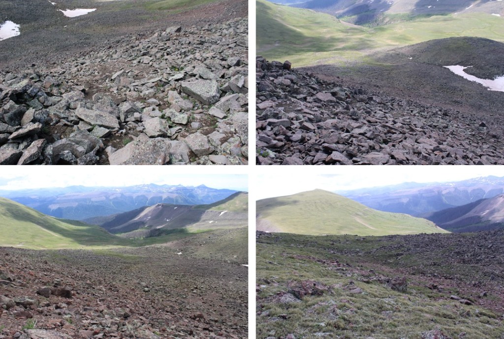
I then followed the ridge to the summit. Even though it’s rocky, this can be kept class 2. If you’re in class 3 territory, you’re trying too hard. Here are some pictures of my route to the summit. I stayed to the right of the ridge the entire time.


I summited PT 13274 at 10:30am. Funny story, I didn’t realize I’d lost one of my lenses until about 20 minutes after taking this picture. I later found and replaced the lens (which had popped out in my pocket).
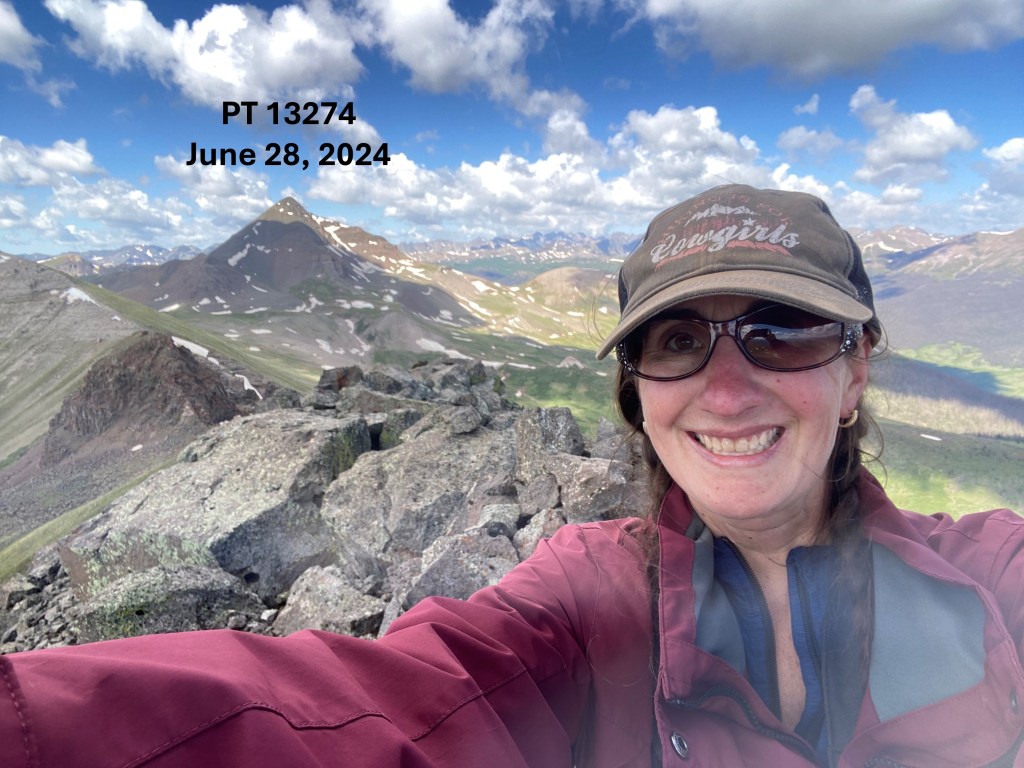
PT 13274:
From the summit, here’s looking back on Fools Pyramid and Rio Grande Pyramid

I was making this a bit of a loop. From the summit of 13274, this was my overall route to the saddle to the south. This was choose your own adventure, but the route was obvious.
I found a lot of game trails here to get me down into the basin. I lost 770’ of elevation heading down into the basin, then re-gained 340’ of elevation up the saddle.

From the saddle, here’s a look back at my route down from PT 13274
The saddle was wide, so I headed a bit to the right, staying on the tundra.
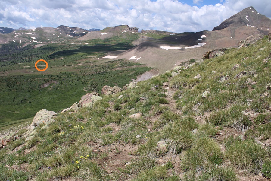
From the here, I could see my campsite to the southwest.
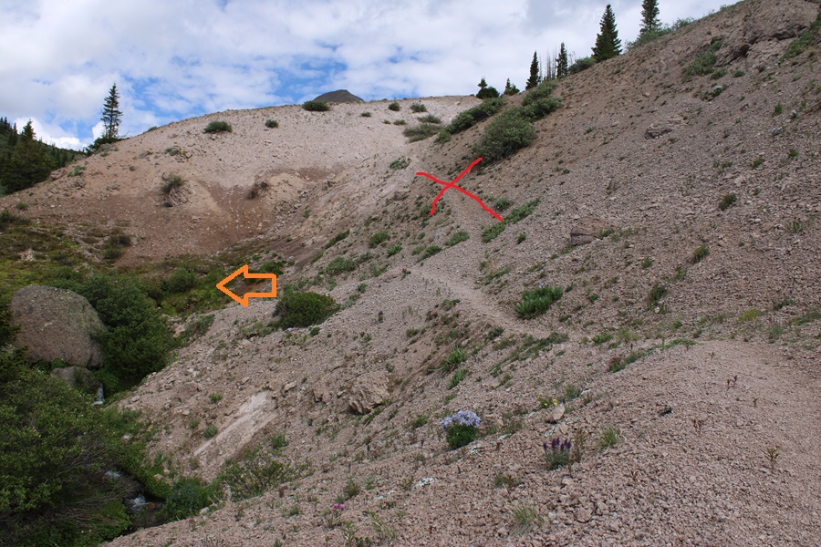
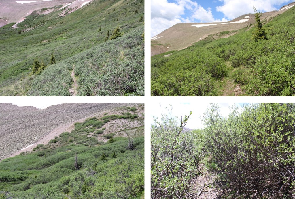
There are several ways to make it back down into the basin. I considered just staying parallel with the ridge at about 12600’ and picking back up the trail I came in on at the saddle of Rio Grande Pyramid and Fools Pyramid. There are no established trails here, but I knew the Skyline Opal Lake Trail was directly below me, so I decided to do my best to make it back down to the trail. If you look closely, you’ll see the trail below you.

I headed east and south down the slope to find the Skyline Opal Lake Trail


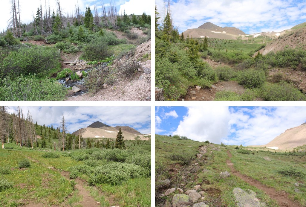
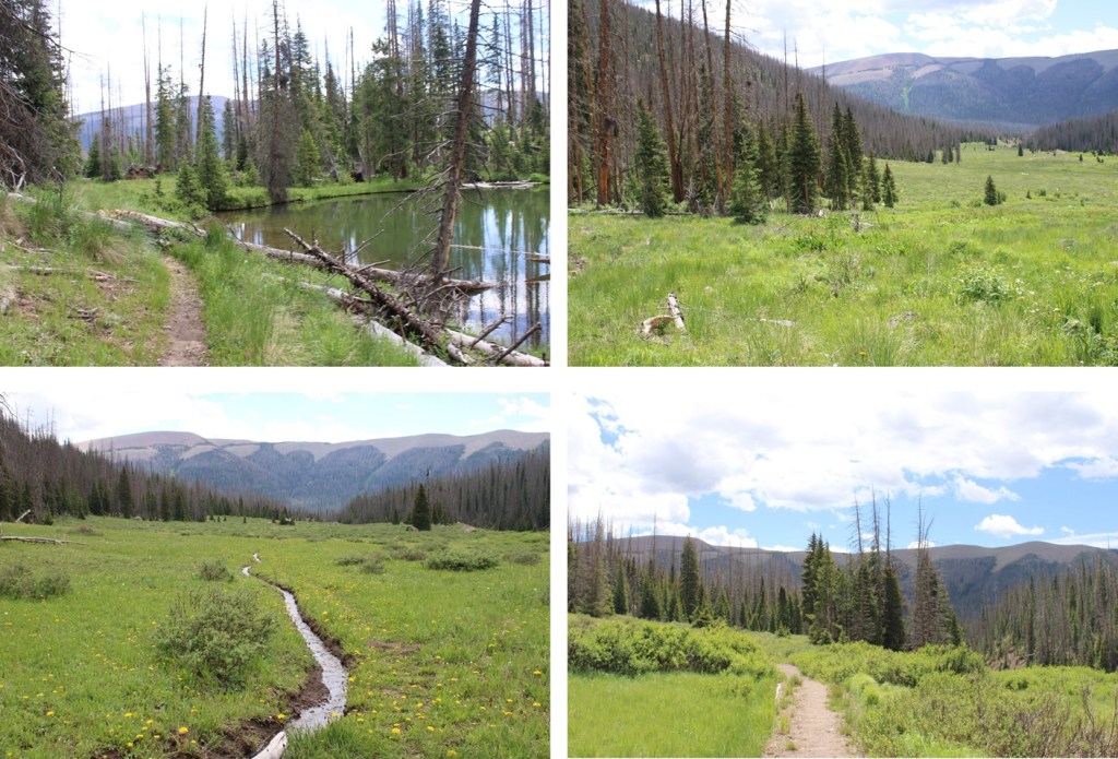
Now on an established trail, I followed it as it hugged the side of the basin, losing it every once in a while and finding it again through the willows.
This brought me back to the trail I came in on, near the rocky area
I followed the trail south as best I could back to my campsite at 12210’
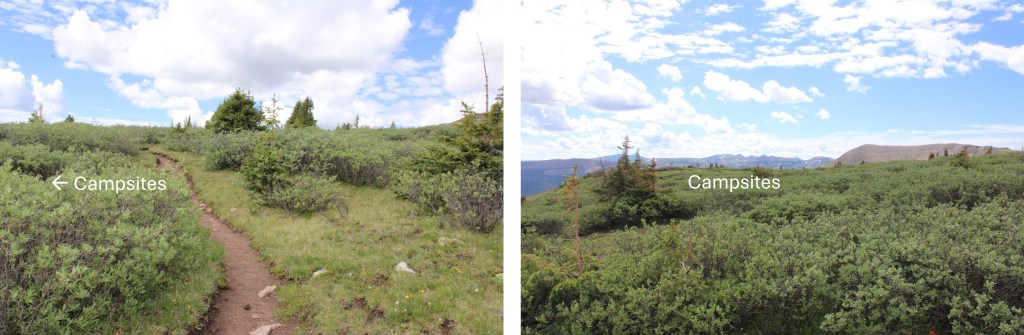
From my campsite, here’s a view of my descent from the saddle back to the Skyline Opal Lake Trail.
I made it back to basecamp at 12pm, making this a 5.12 mile hike with 1858’ of elevation gain from 12210’