RT Length: 16.06 miles
Elevation Gain: 3570’
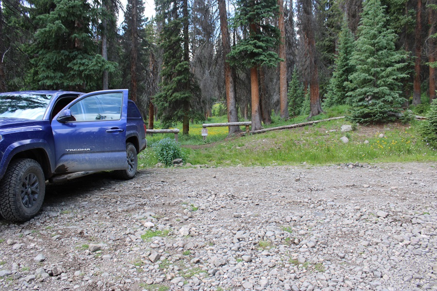
I parked at the end of North Fork Henson Road off CR 20 in Lake City at about 12000’. This is a couple of miles past the Matterhorn/Wetterhorn trailhead, and 4WD. There are parking spaces here for 3-4 vehicles, if everyone parks nicely. This is also where the porcupine and marmot and pine marten chewed my wires last week, so make sure your vehicle is rat taped. Click here if you want to see pictures of the damage done to my vehicle last week.
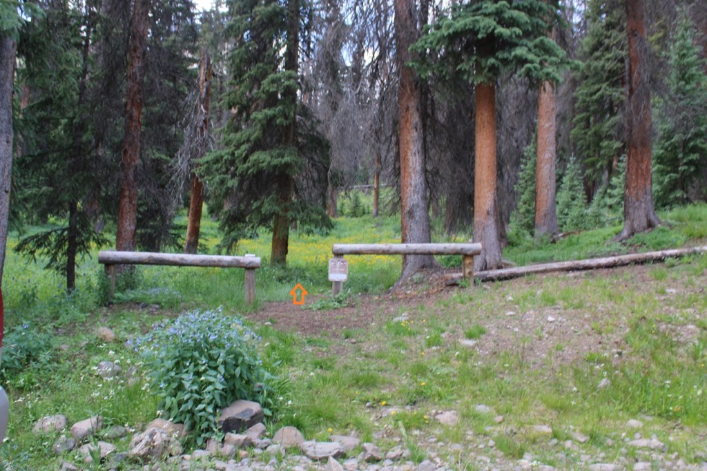
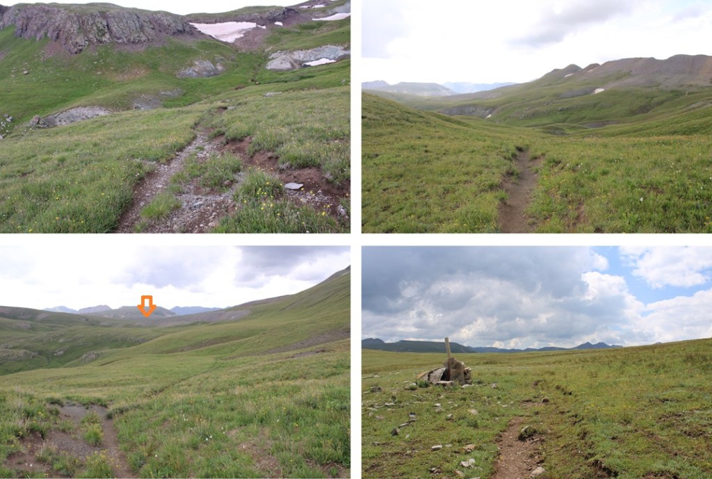
Knowing the high potential for thunderstorms today after noon, I was up and on the trail at 4:30am. The trail starts out easy to follow, heading southwest.
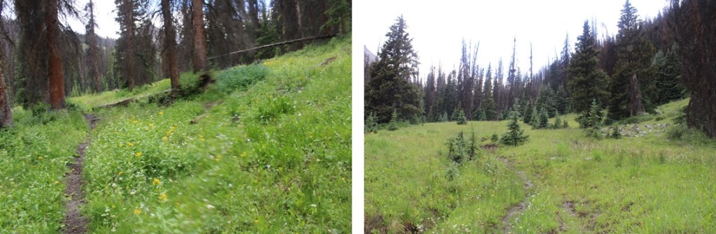
After hiking for half a mile, I came to treeline, and an upper basin. I turned right, and followed a drainage northwest past treeline.

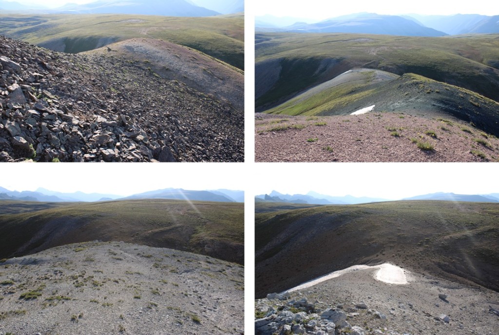
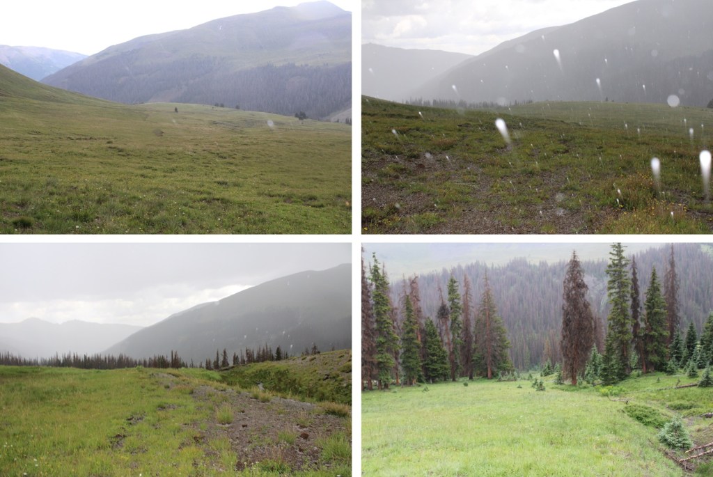
Sorry for the lack of pictures at this point, but I was in a thunderstorm, experiencing hail and rain when I took these pictures, so they’re few and far between. I was headed for the ridge. For a better initial route description, see my Wildhorse and Blackwall trip report, where I wasn’t caught in a thunderstorm.

There are faint trails here, but they mostly look like drainage ditches. Follow those.
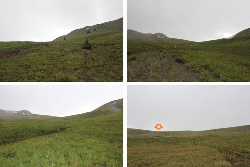
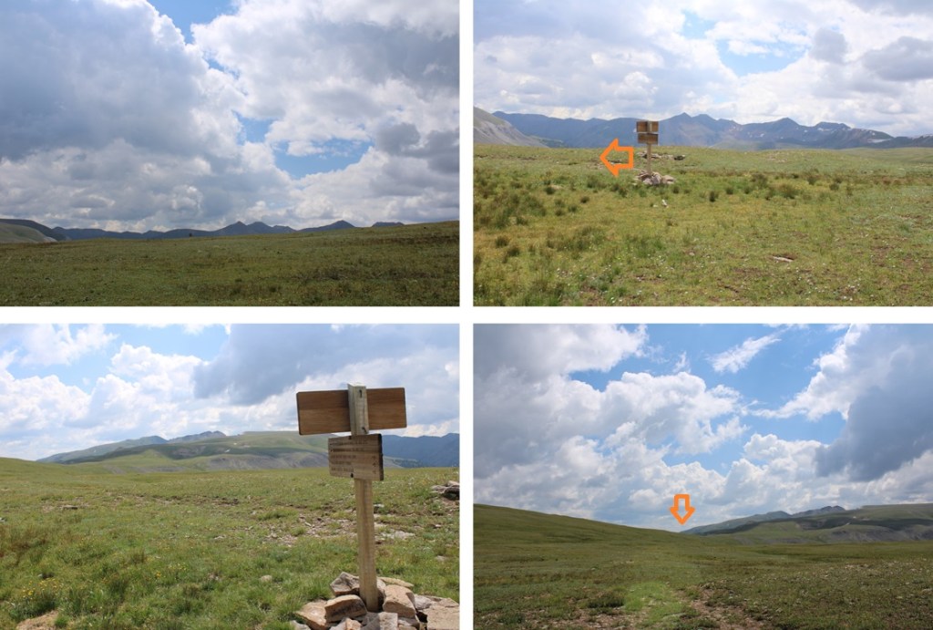
At the top of this hill a fairly good game trail appears. I followed this west all the way to American Flats and the first junction I came to, which was about 3.5 miles from the trailhead.

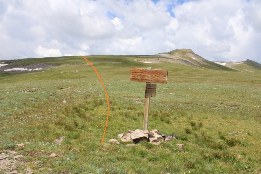
This junction is significant, as I’ll be returning here later, and not on a well-defined trail. Like so many trails in this area, they aren’t really trails but more of ‘suggestions’, where you follow your best judgement to get to the next post or cairn, and celebrate if you find a game trail.
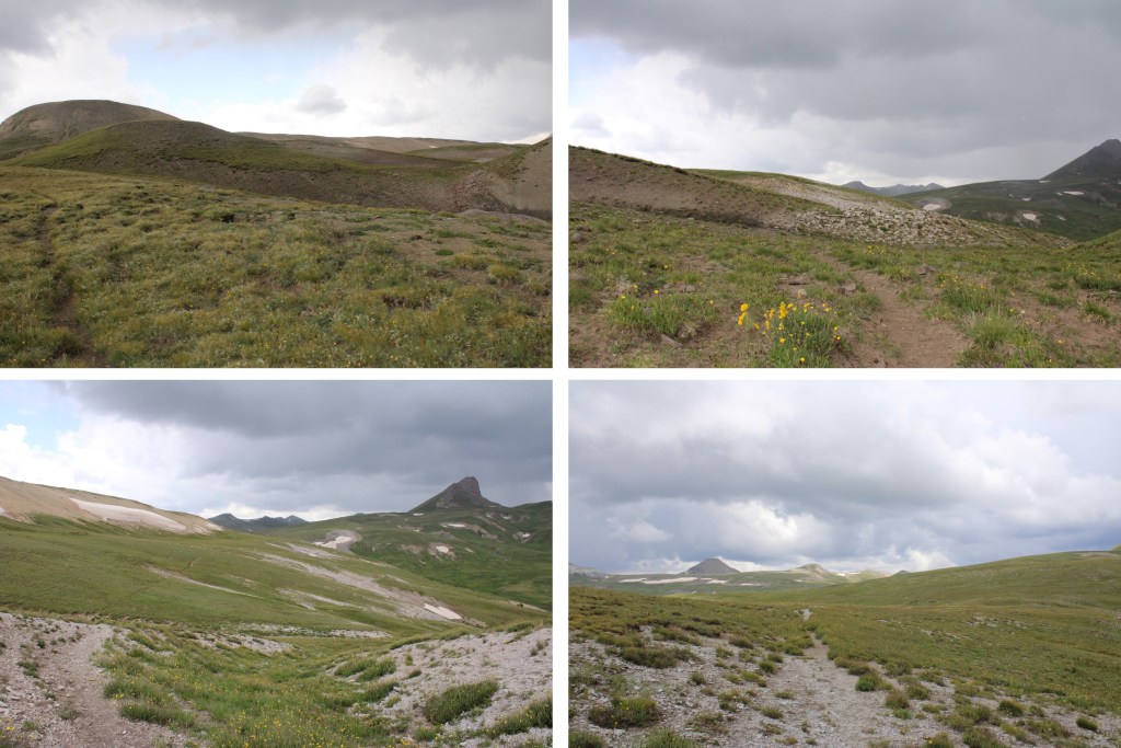
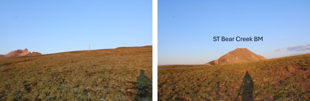
From this junction I headed southwest, following posts and cairns towards ST Bear Creek Benchmark.
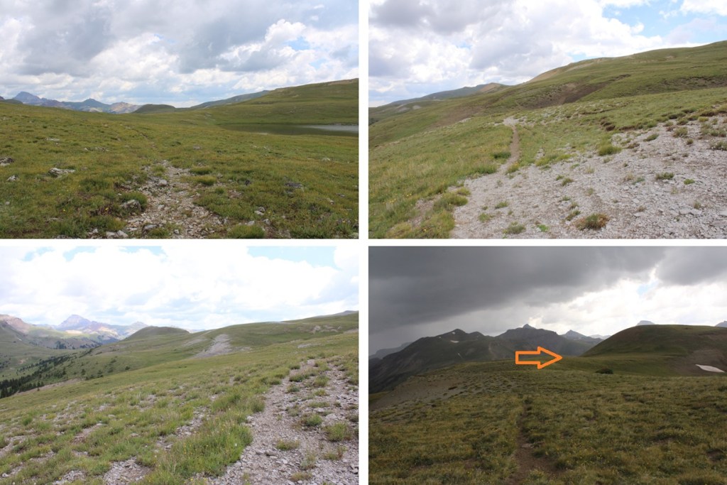
I aimed for the saddle, then started climbing the ridge. This was all class 2 on easy terrain.
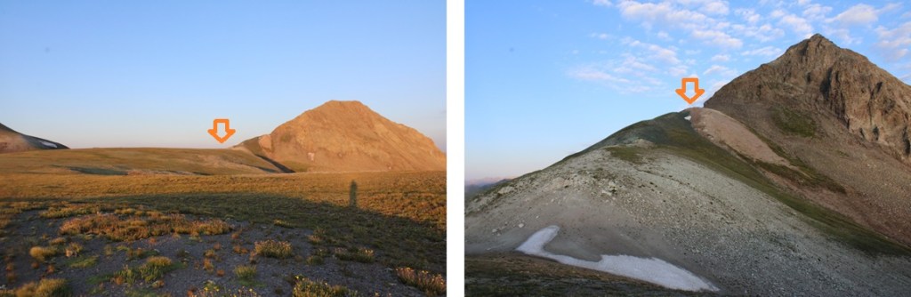
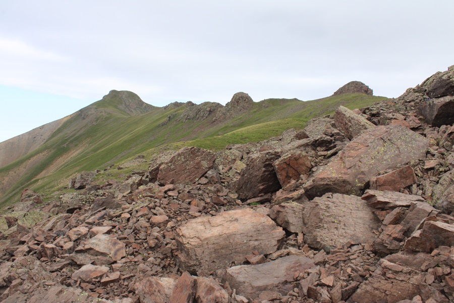
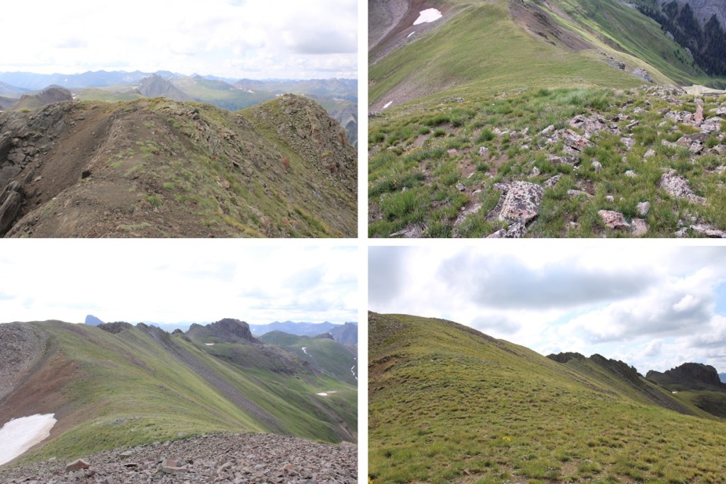
Then the fun started. At the end of the white sand/scree the choss began, and it didn’t let up until the summit. This can all be kept class 2, but be prepared for a lot of loose choss and rolling rocks. I found once I started ascending the ridge, staying to the right gave me game trails to follow. First, I entered the ridge here

Then ascended, staying to the right as much as possible to avoid the gullies to the left, following game trails.

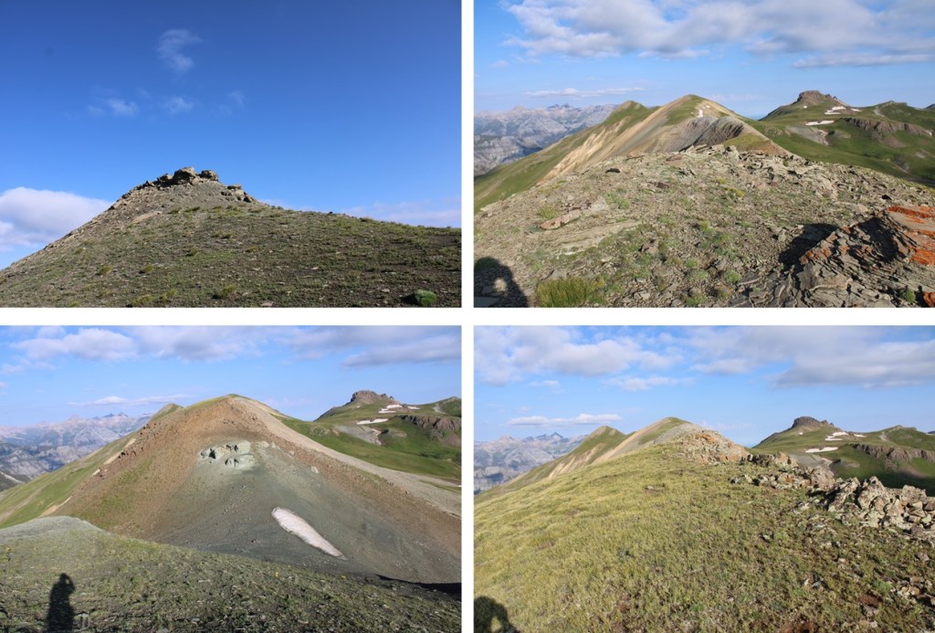
I summited ST Bear Creek Benchmark at 7am
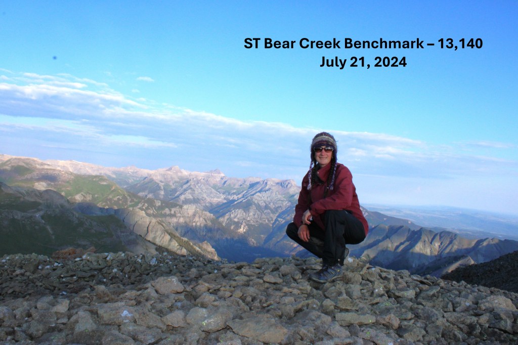
ST Bear Creek Benchmark:
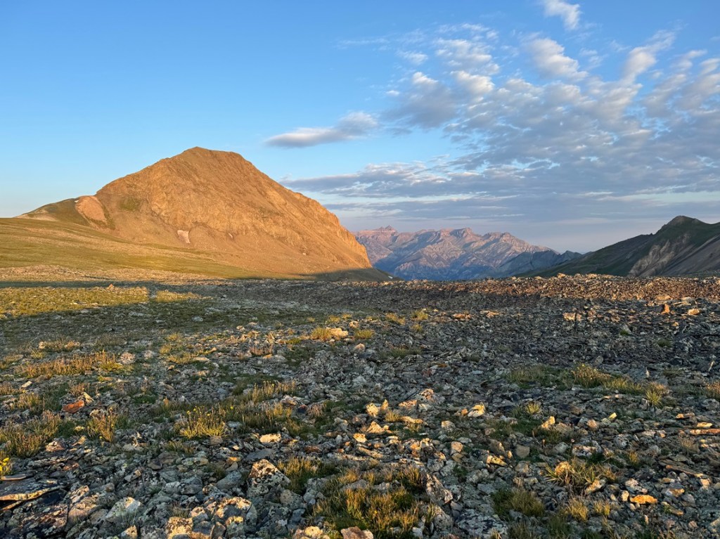
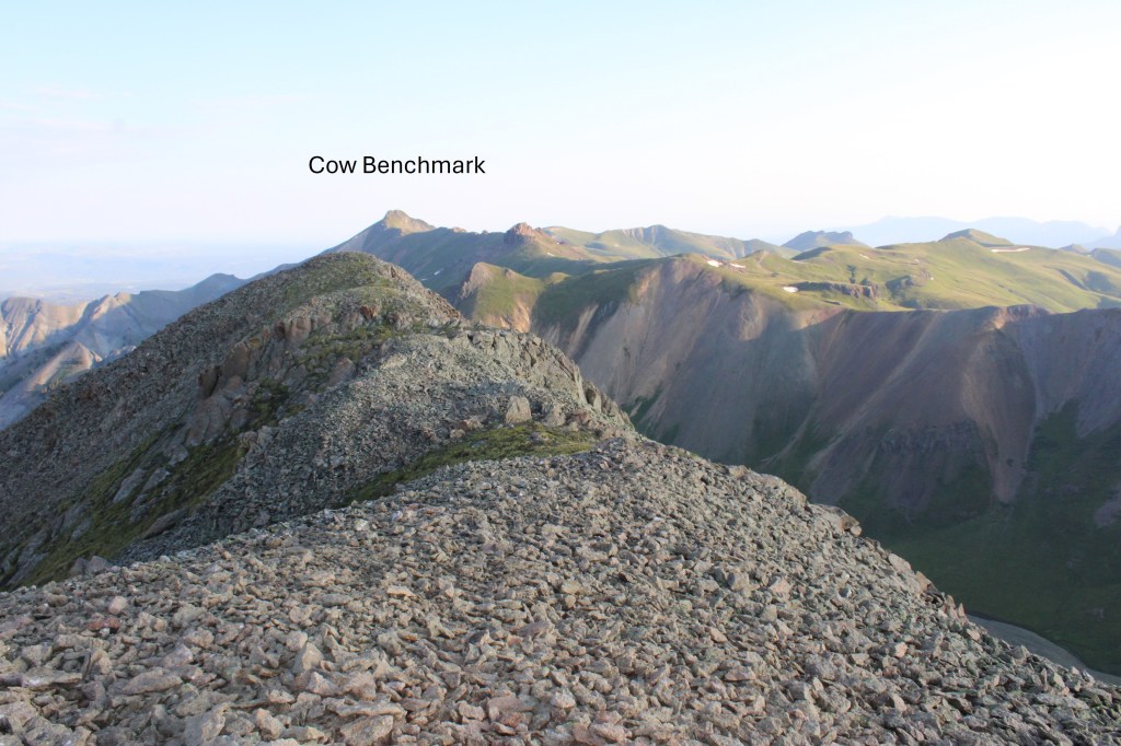
Way off to the northwest I could see Cow Benchmark, my next peak of the day
To get there, I was going to need to descend the way I’d ascended, and head back to the saddle.
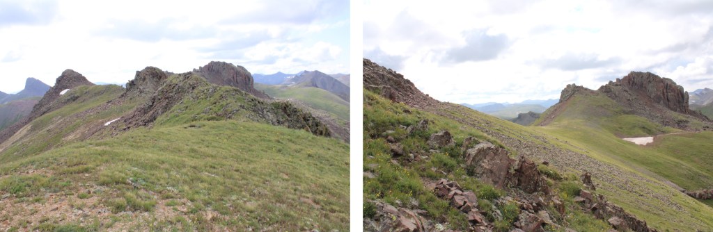
There is no good, fast, or easy way to get to Cow Benchmark from here. I decided to take the ridge, which included a lot of elevation gain and loss. I aimed for the ridge, and followed it northwest

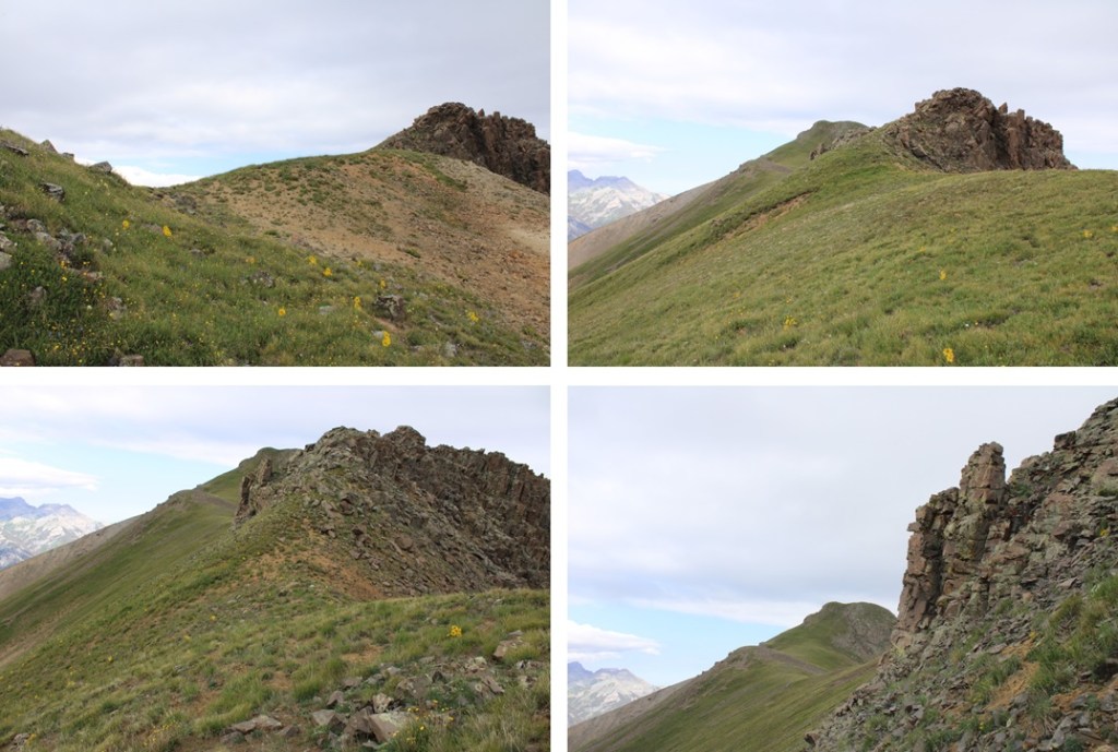
Here are some pictures of the ridge. It’s all class 2, and goes for about 1.5 miles. I cut across the last section (I’d had enough elevation gain and loss by this point)

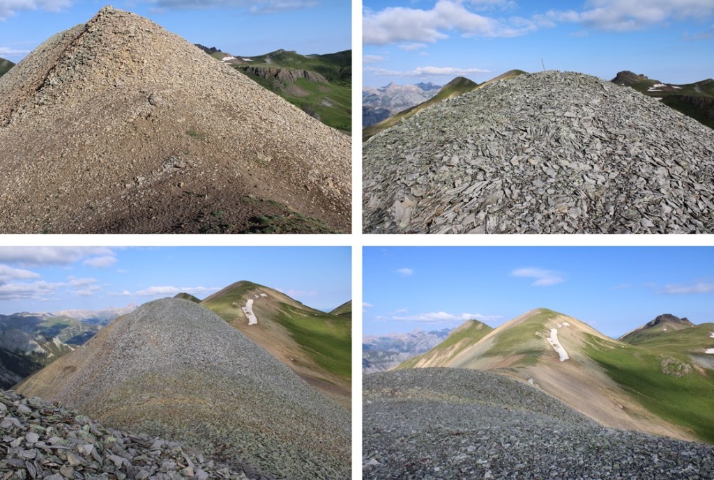
Here is where I skirted PT 12976 and just headed for the saddle, which just gave me another ridge to climb

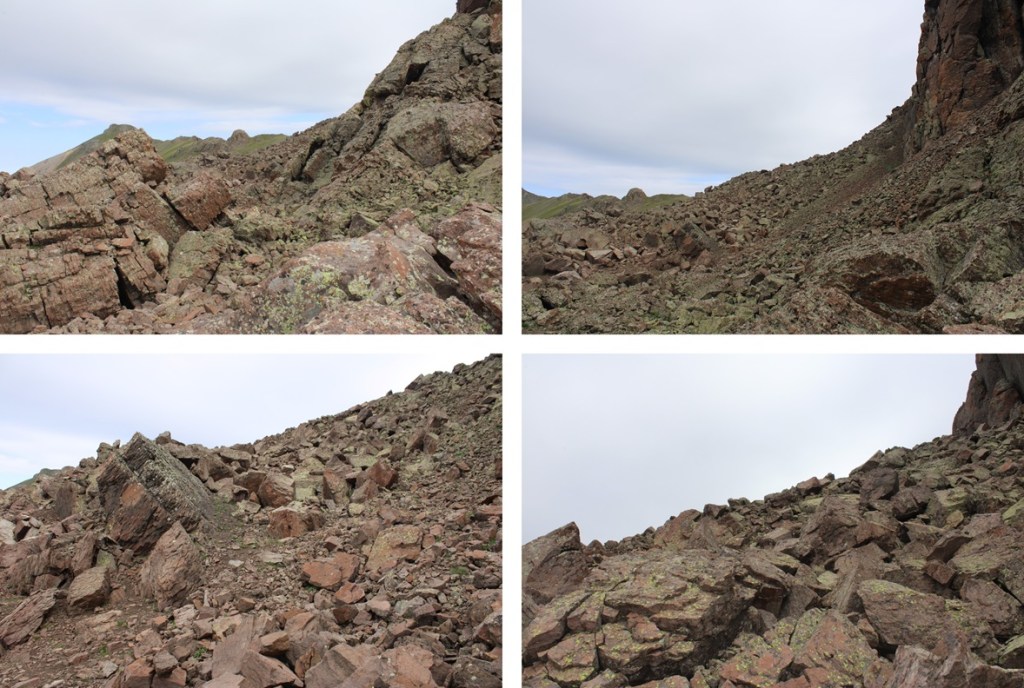
This rocky outcropping looks scary, but this can be kept class 2 by skirting it to the left, entering a rocky area, staying at about 12730’, and skirting around to the ridge. This is choose your own adventure, but the route is obvious.

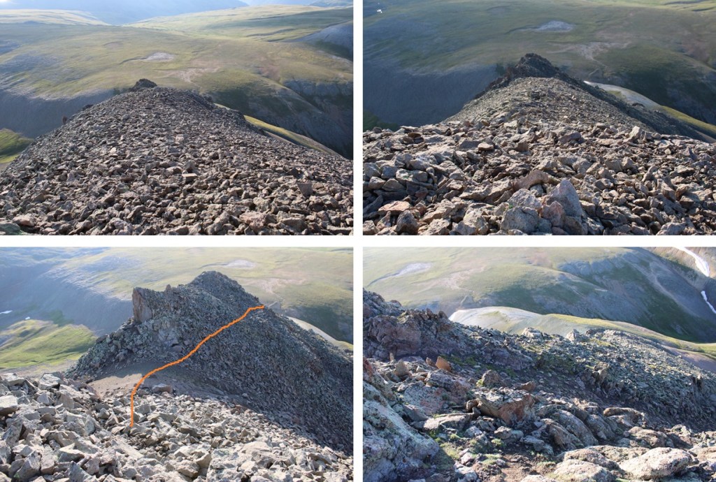
This brought me to the final ridge.
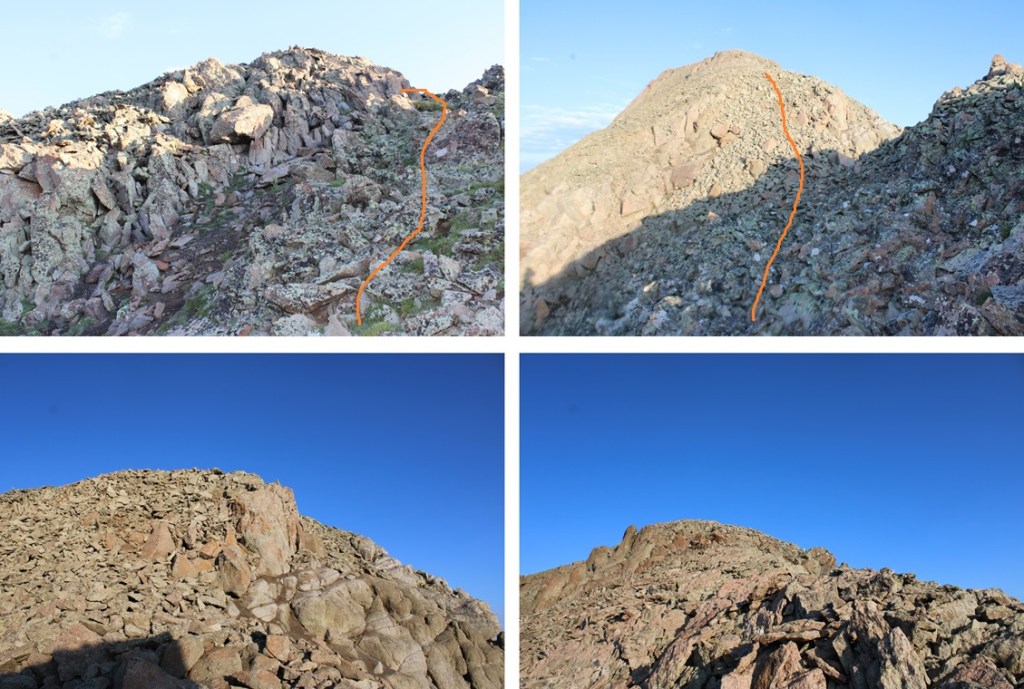
Here’s my suggested route to summit the ridge

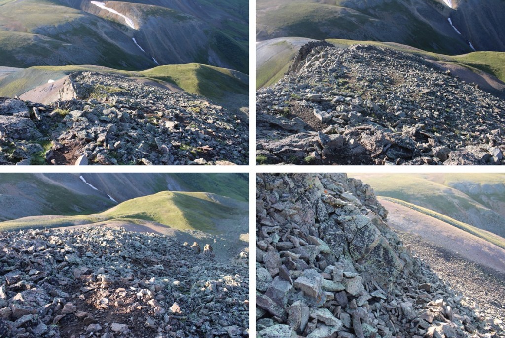
However, the ridge does go at class 2/easy 3. Here are some pictures of the ridge, should you wish to climb it.

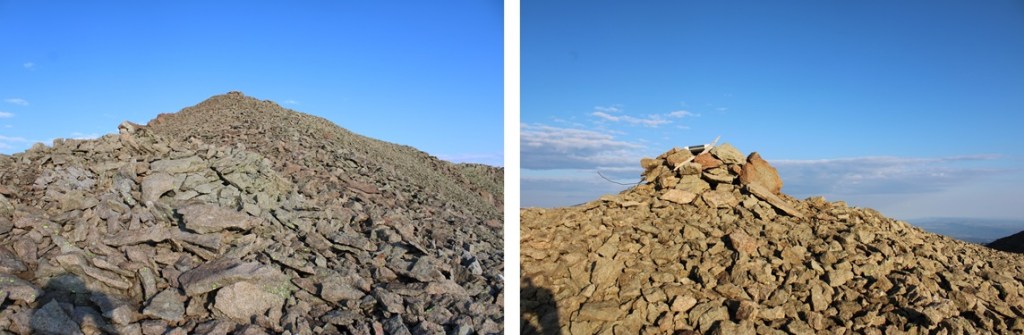
The final push to the summit was steep, but full of tundra. Also, there’s a false summit, but that’s ok because the real summit isn’t too far away, and it’s a relatively flat walk to get there.

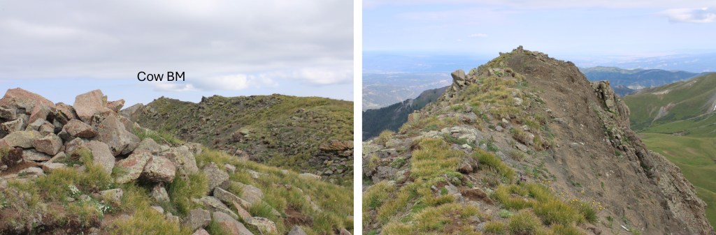
Also, there’s a benchmark, and a marker to let you know where the marker is…

I summited Cow Benchmark at 9:30am
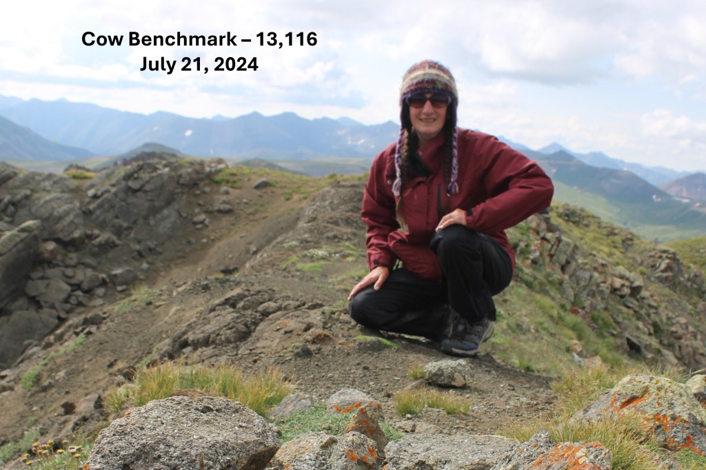
Cow Benchmark:
And now to head back. I turned and re-traced my steps back down to the ridge
This time, I followed the ridge proper

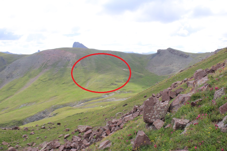
Instead of descending the way I’d ascended, I went left here, descending into the basin. I knew Horsethief Trail was on the other side, that would eventually lead me back to that junction I pointed out earlier. To I left the ridge, descending to the left

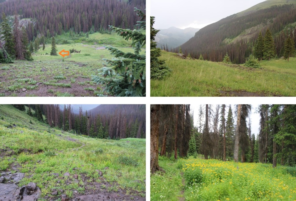
I then looked for the trail on the other side. When I found it, I tried to lose as little elevation as possible to pick up the trail on the other side. I’ve circled where the trail is
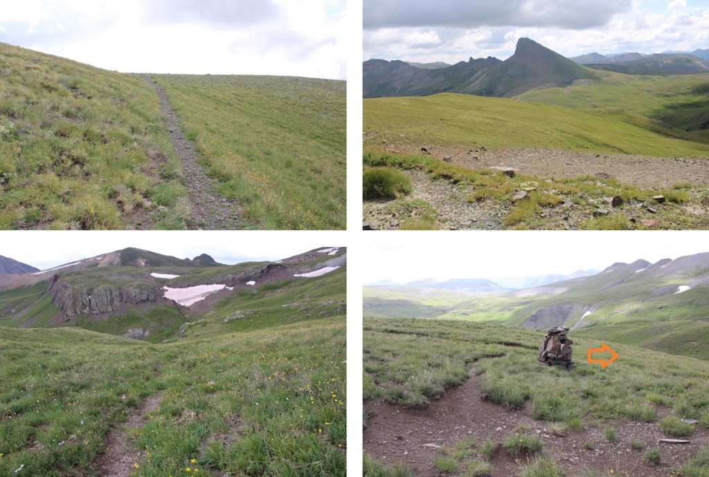
I skirted the mountain, and made my way towards Horsethief Trail

Here’s a view of how I descended Cow Benchmark back to the trail

Back on a trail, I followed it 2 miles to the junction with American Flats. However, please remember what I said earlier… about trails being more of ideas than paths in the dirt. There were times I had to look for posts, or presume which way to go. Note, if you have the option, stay high instead of taking a trail that leads low.
It was 2 miles on the Horsethief Trail heading southeast to get me back to the junction, losing the trail several times and looking for a cairn or post to follow.
At the junction I turned left, and followed the trail east back down to the trailhead. Sorry for the lousy pictures… I know to be down below treeline before noon, but it was 11:45 and I was 15 minutes from treeline when the sky let loose, and it started raining and hailing. (Forecast said to expect storms between 12pm-1pm, so they weren’t far off, just a little bit early…)
Once back in the lower basin, I turned left and followed the trail half a mile northeast back to the trailhead.
I made it back to my truck at 12pm, making this a 16.06 mile hike with 3570’ of elevation gain in 7.5 hours