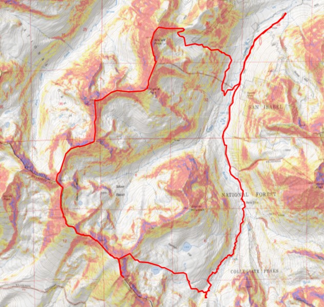
RT Length: 14.11 miles
Elevation Gain: 3299’
I had no intentions of summiting a peak today. Seriously. After yesterday’s long ridge hike I decided today would be a rest day. I was simply going to hike to the upper trailhead and back to get pictures I was unable to get yesterday, due to starting and ending the hike in the dark. I also needed to put together a rather long trip report, and I wanted to get that out of the way as soon as possible.
I woke up at 9:15am and it was 27 degrees outside. There was at least half an inch of frost on the ground, and my shoes, which I’d kept inside my truck, were frozen solid. I couldn’t even get my feet inside of them. So I sat in the cab of my truck with the heater blaring for half an hour to warm them up.
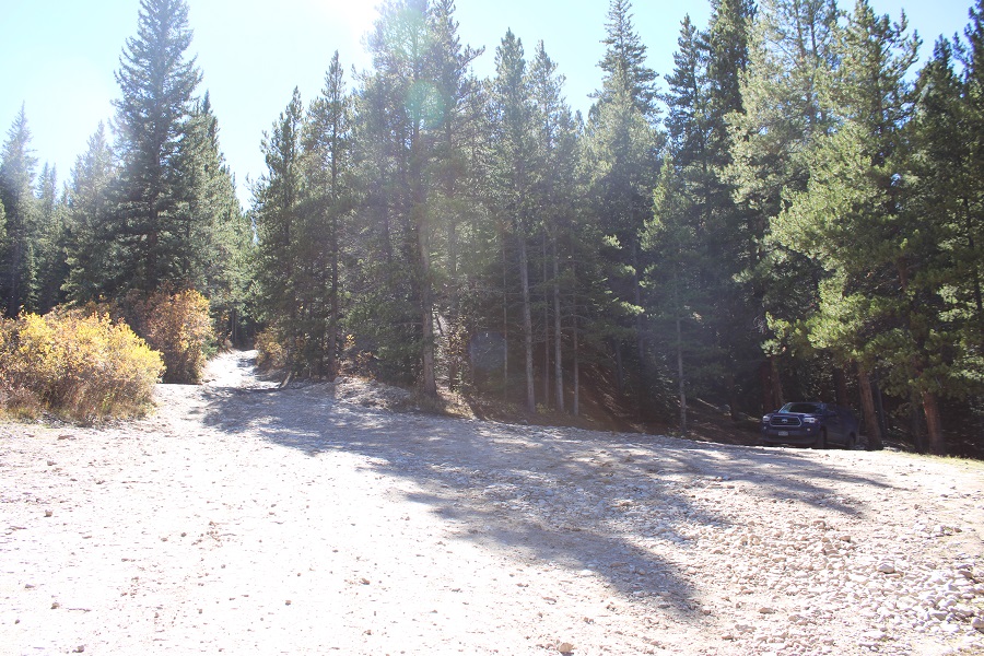
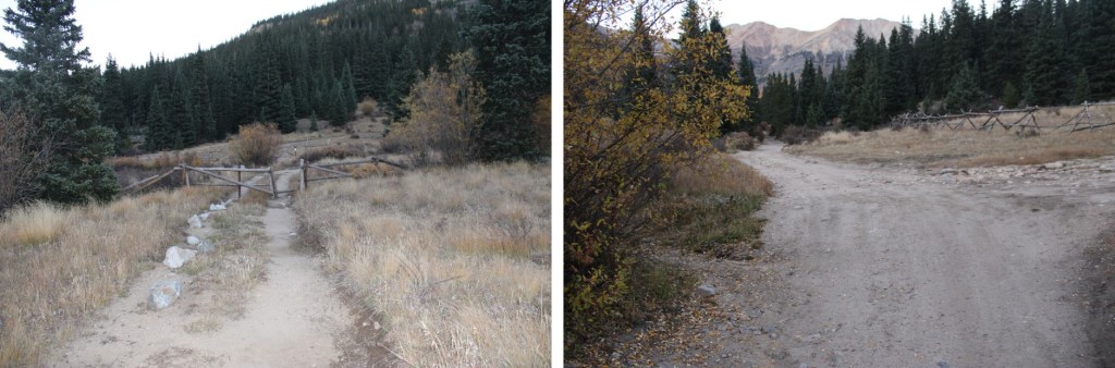
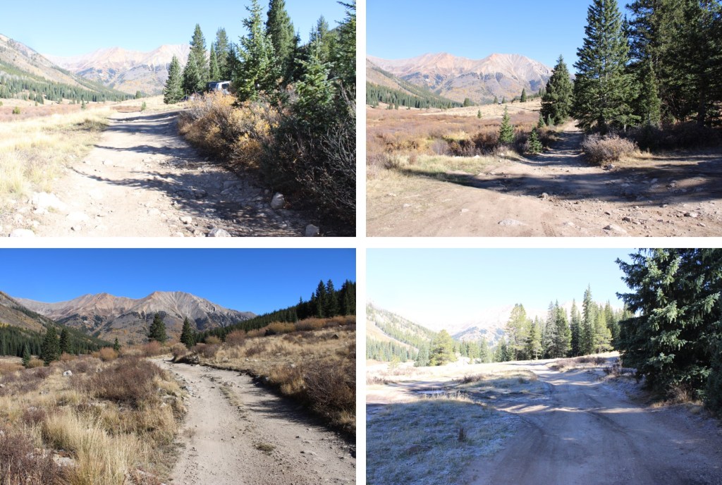
Once I could stuff my feet inside my shoes I was on the trail, at around 10am. My plan was simply to hike to the upper trailhead and back to warm up and get pictures. I was parked just before the Lulu Gulch trailhead at 10,300’ at a nice dispersed campsite. My truck could have made it to the Huron Trailhead, as it has before, but the road seemed a little more intense this year and I love my truck, so I decided to park lower and get the extra mileage.

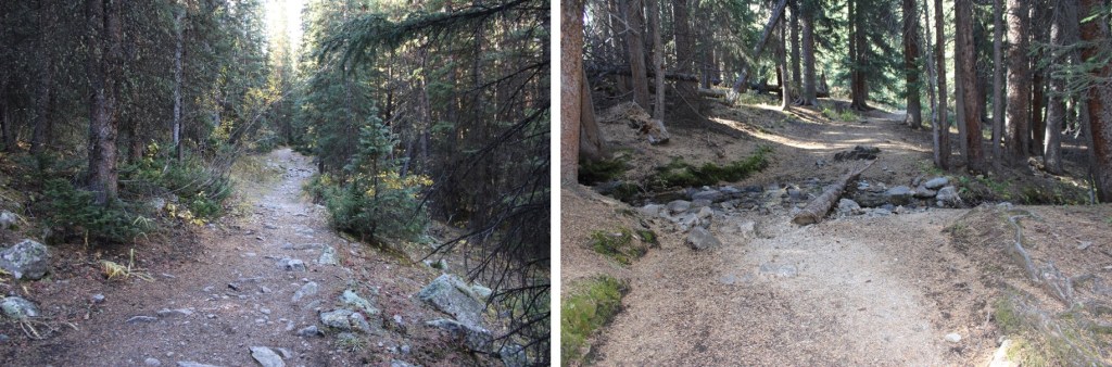
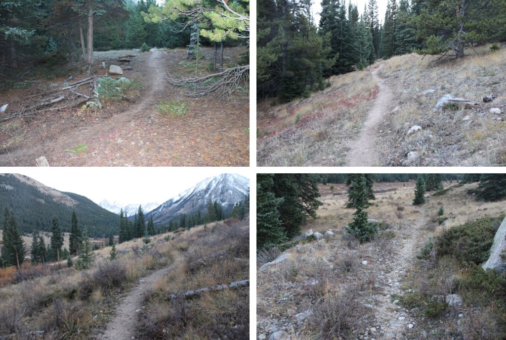
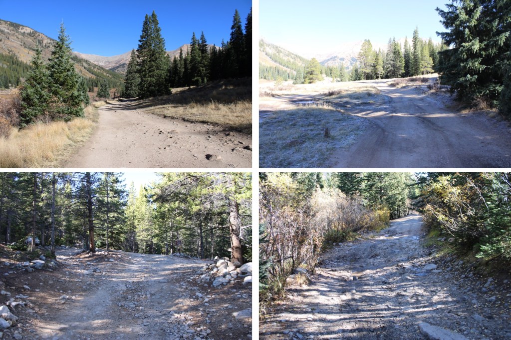
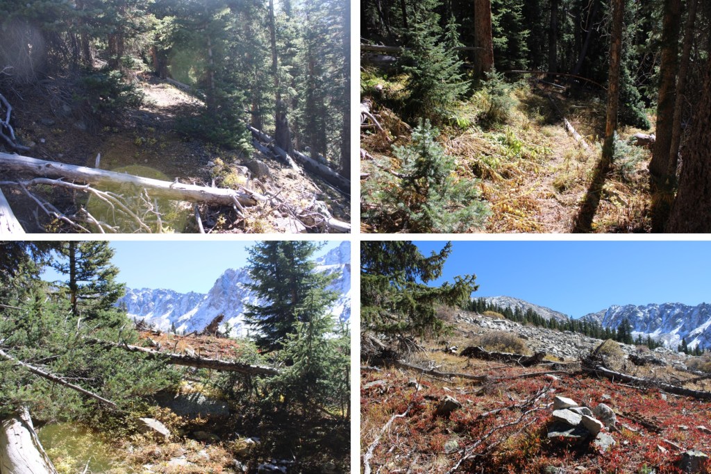
I followed the 4WD road as it meandered south, past the Lulu Gulch trailhead and numerous dispersed campsites.
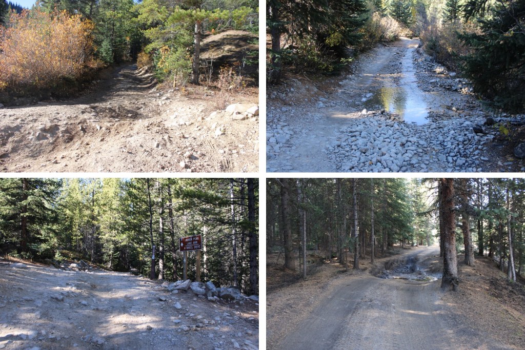
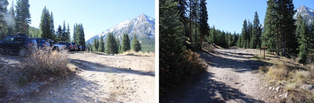
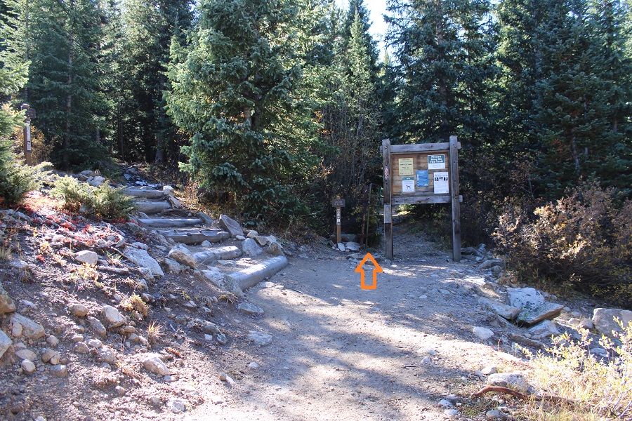
After hiking for about 1.75 miles I made it to the Huron Peak/Lake Ann trailhead. From here, I followed Lake Ann Trail 1462 south.


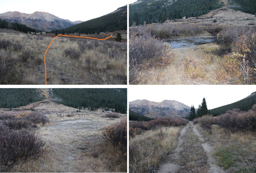
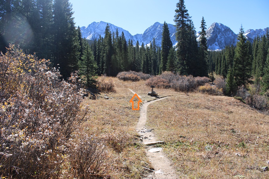
At the Lake Ann/Hope Pass junction I went left, following the Lake Ann trail


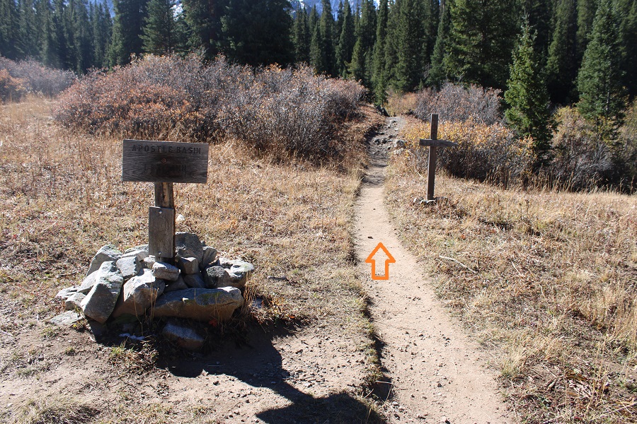
At the Apostle Basin/Lake Ann junction I went left, towards Apostle Basin
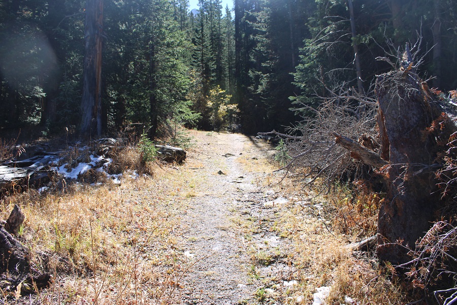
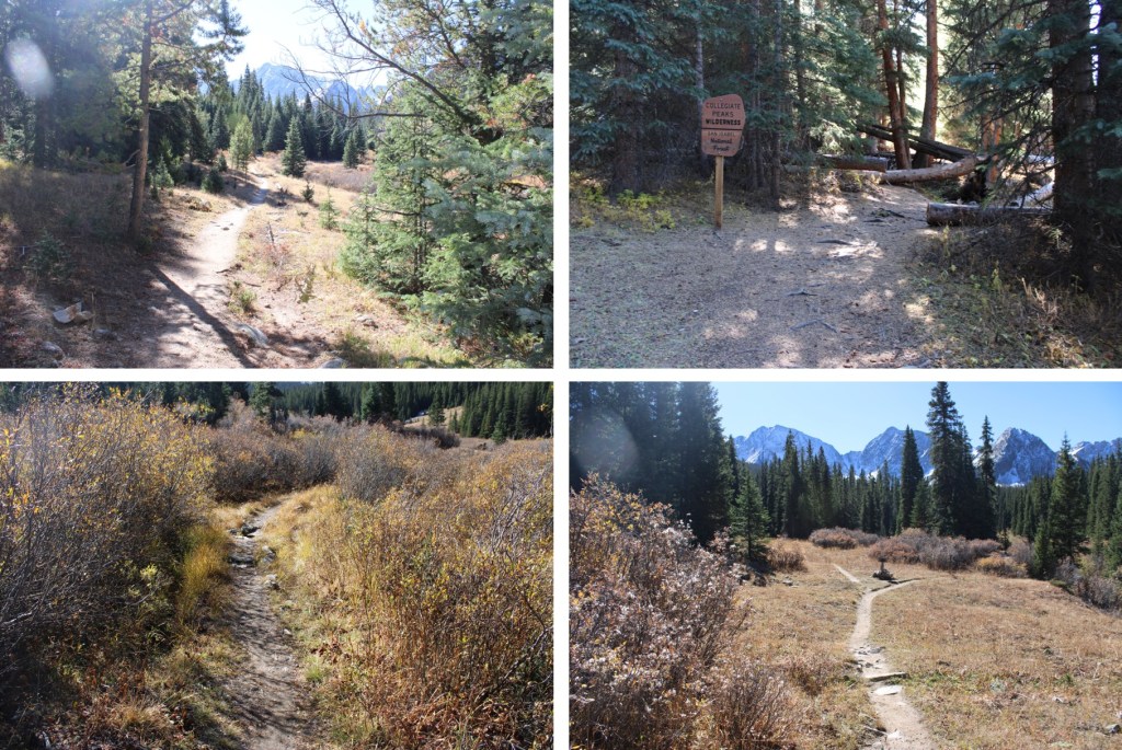
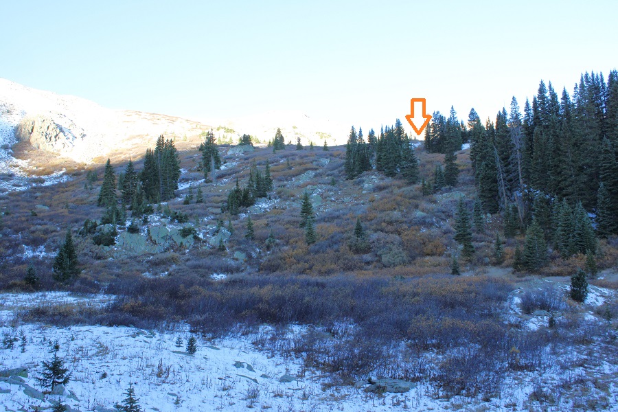
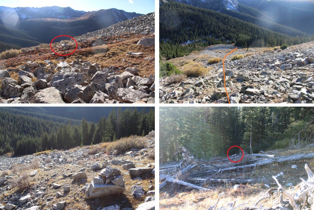
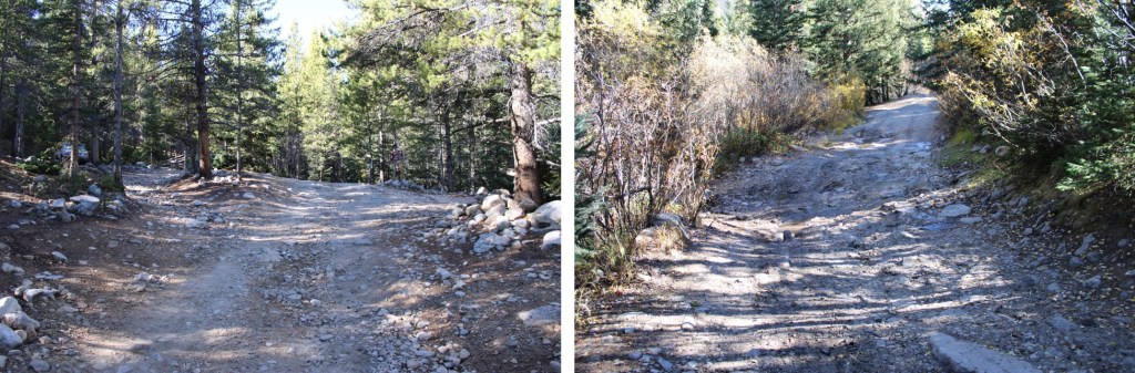
This is where I made the decision to continue towards PT 13486. I was feeling pretty good, and said “to heck with a rest day”. I almost immediately regretted this decision. I continued on until I made it to 10845’, where there was a cairn and a blocked trail to the left. I took this trail.

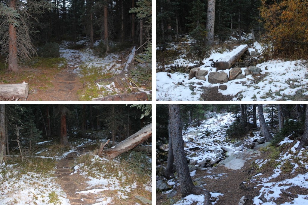
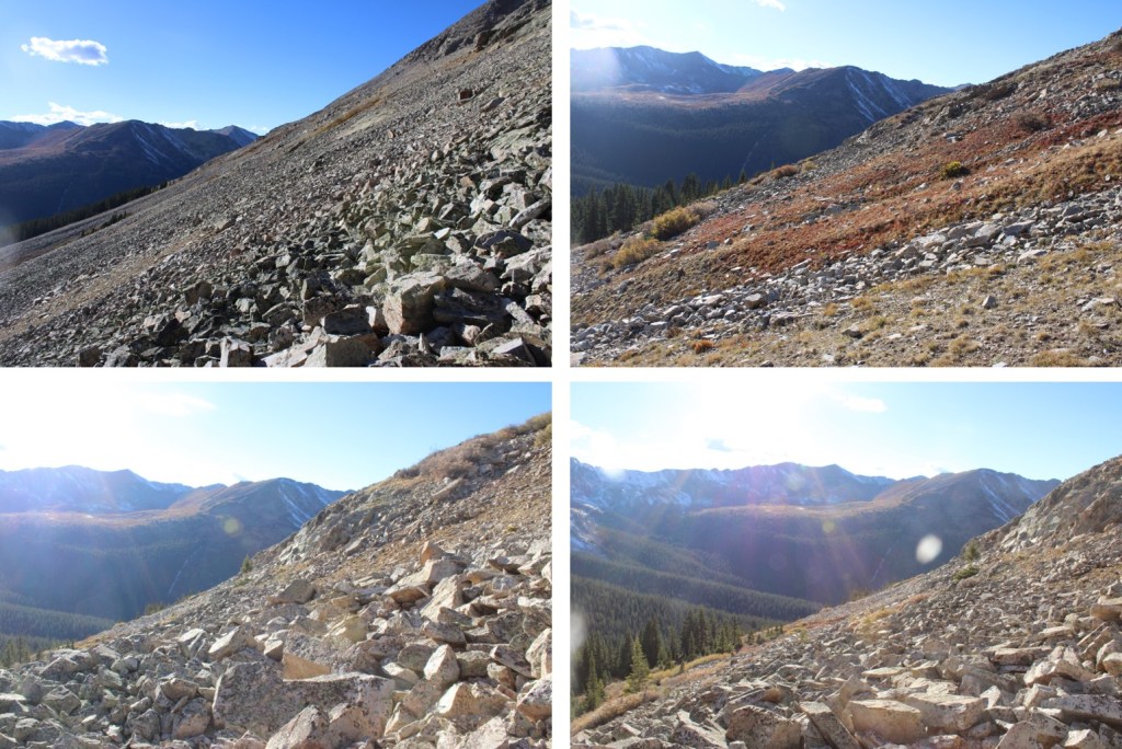
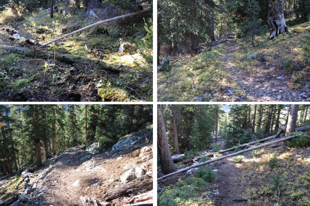
This was an old trail that doesn’t look like it gets a lot of use. There were tons of downed trees to navigate as I made my way east to treeline. At this point I stopped and looked at my readings. I’d gone 3.5 miles and gained 600’ of elevation. I was already exhausted, and wanted to turn back. My mind kept telling me I was tired (I wasn’t), thirsty (I wasn’t) and couldn’t go on (I could). I reminded myself it’s usually your mind that gives out long before your body does, and kept telling myself to go just a little bit further before deciding to turn back. This hike was very much a mental game, but I kept going. I just took a lot of breaks.

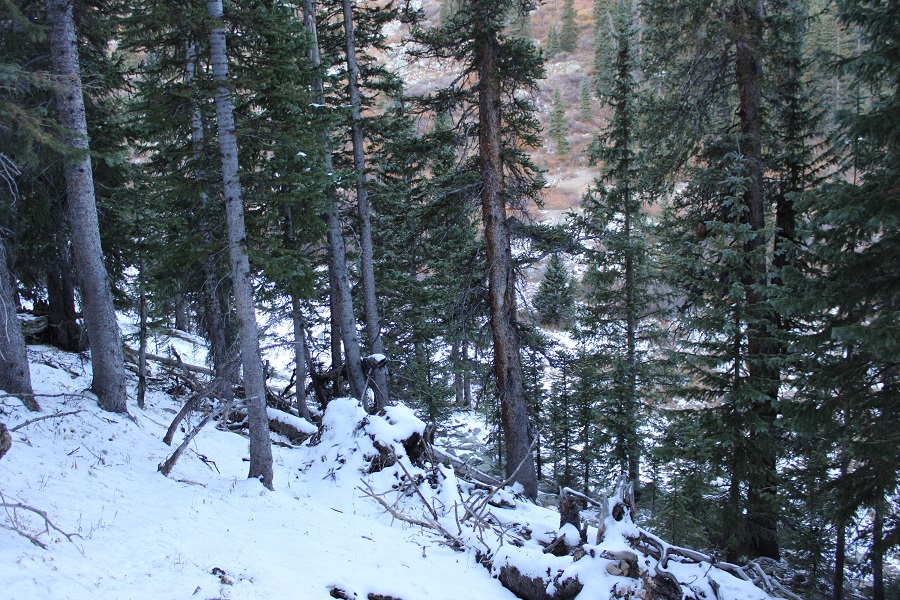
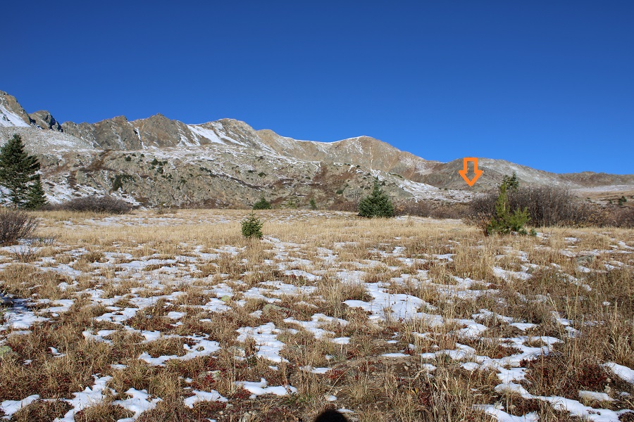
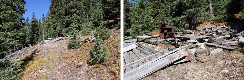
Just before treeline, at around 11600’ there’s an abandoned cabin that was cool to look at. When you get to the cabin keep heading east, as the trail becomes difficult to follow, but you’re almost to treeline.
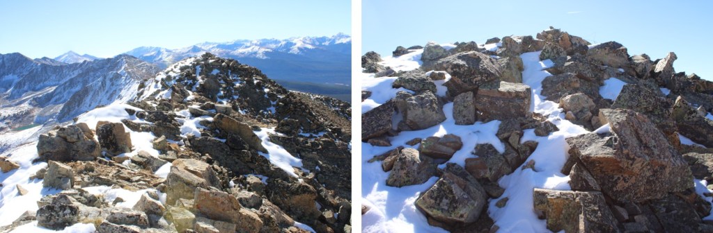
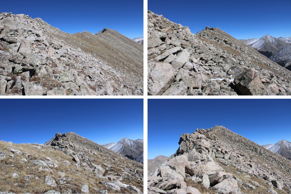
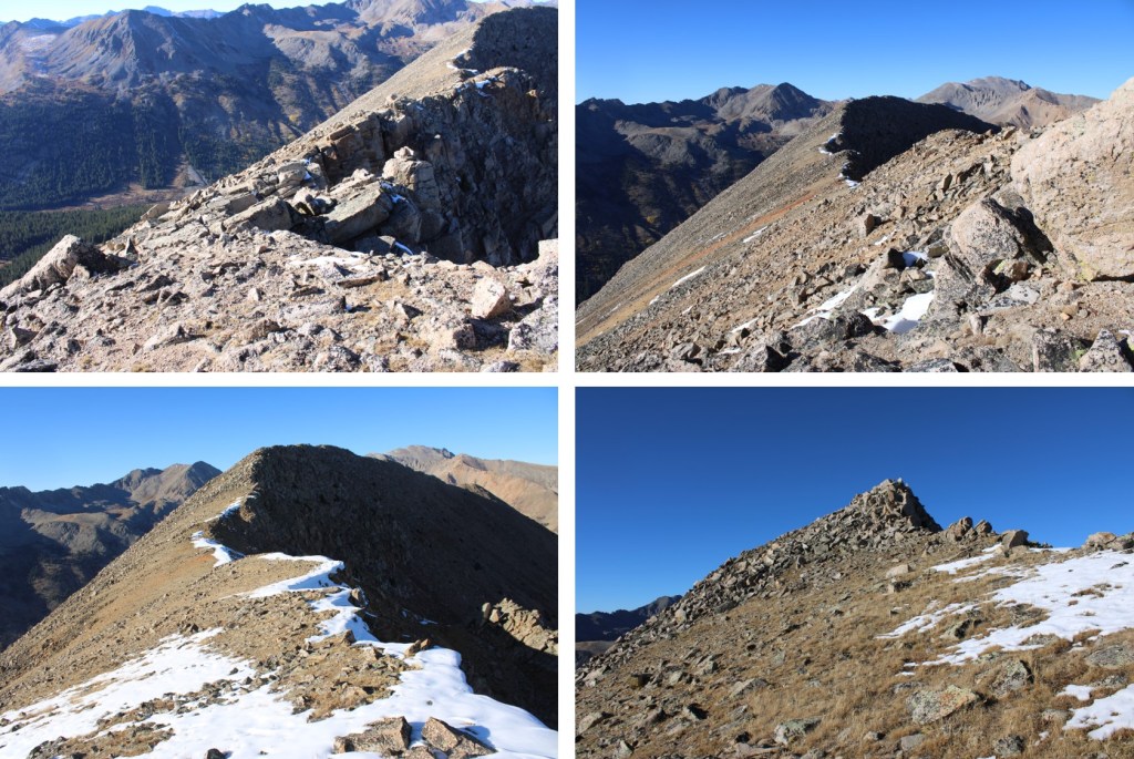
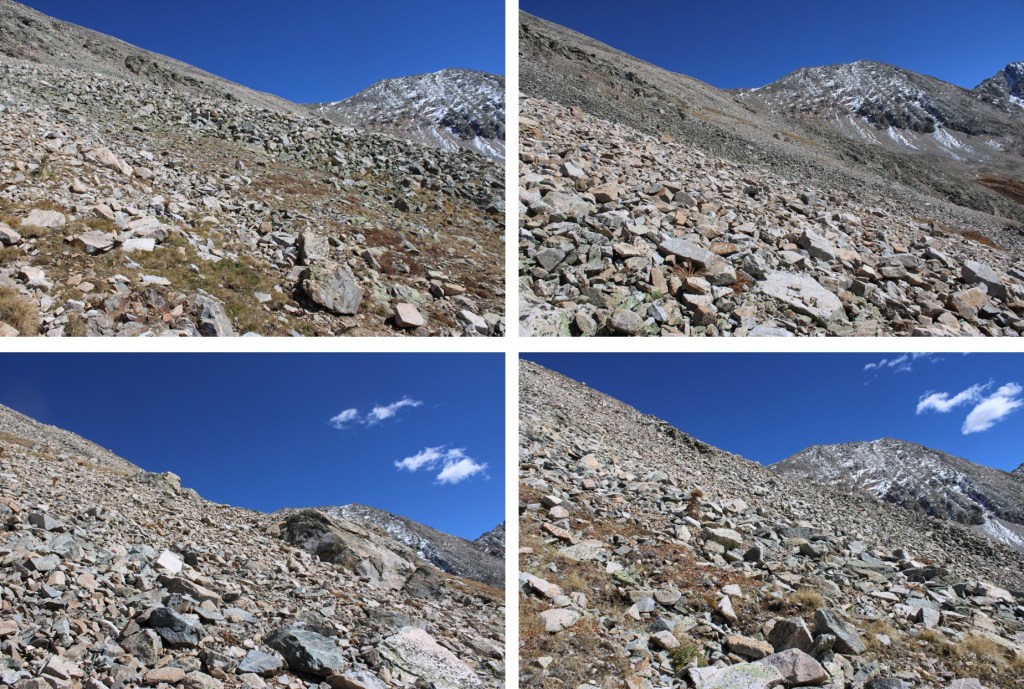
Once at treeline a cairned route begins that leads for about a quarter of a mile. The rocks however, never ended. I followed the cairns up.
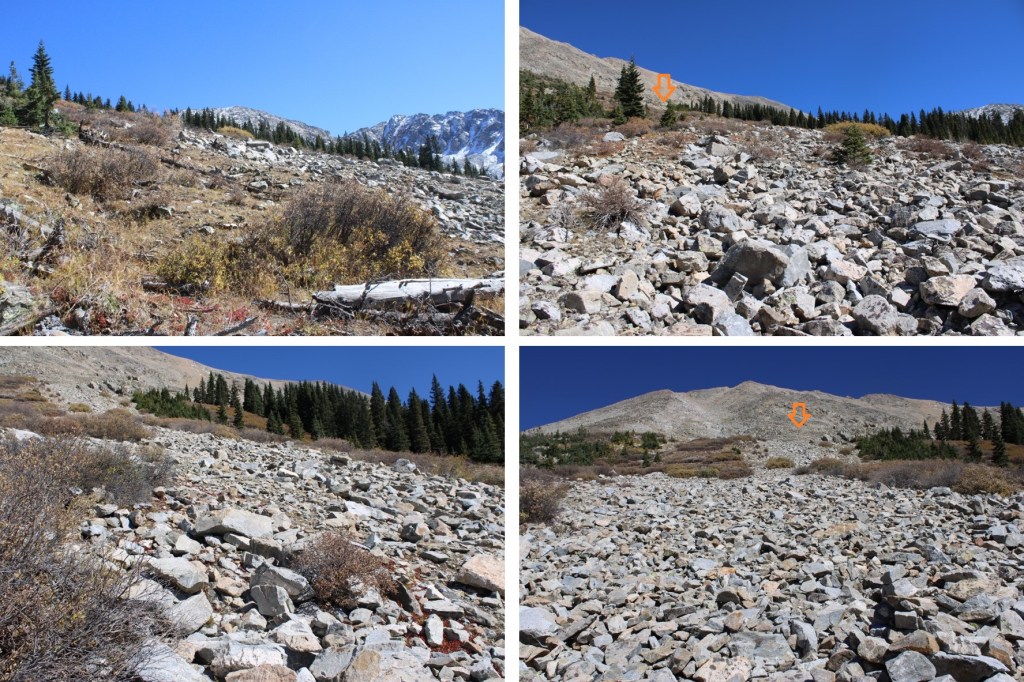
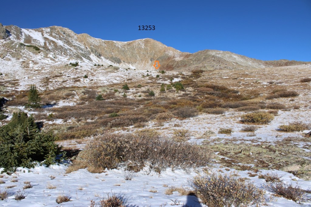
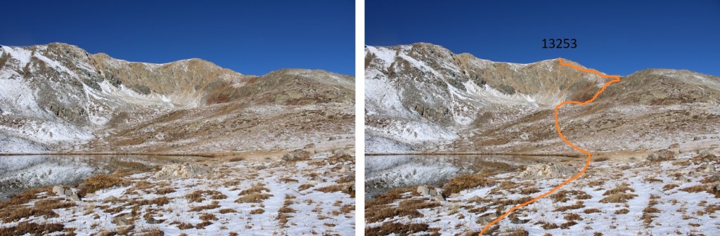
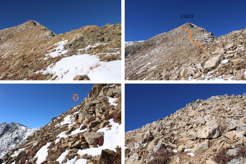
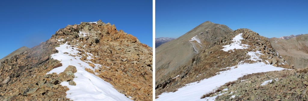
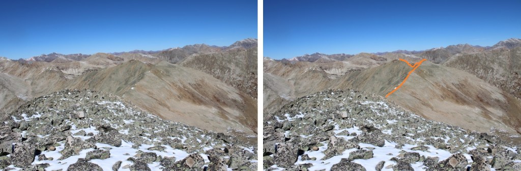
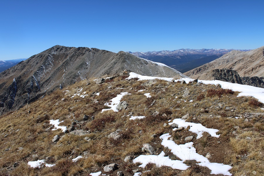
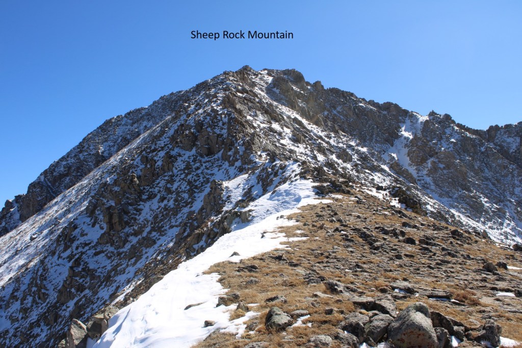
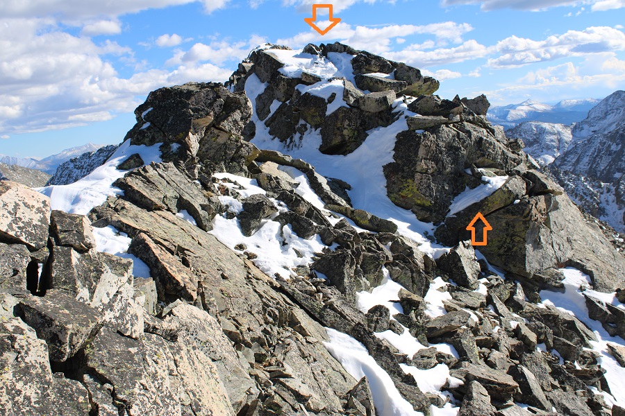
I could now see PT 13486 to the east.
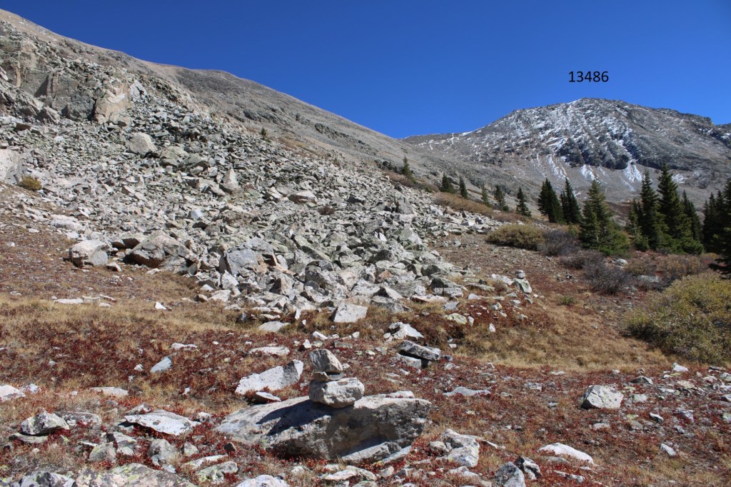
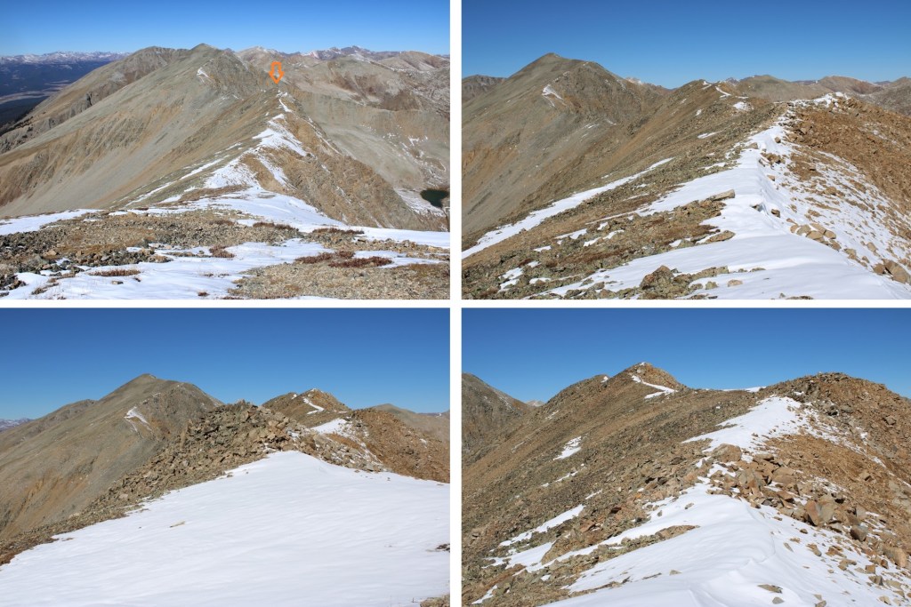
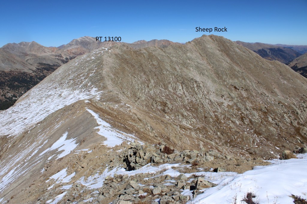
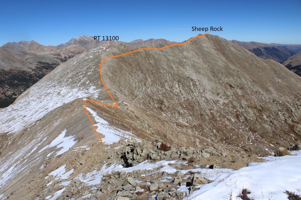
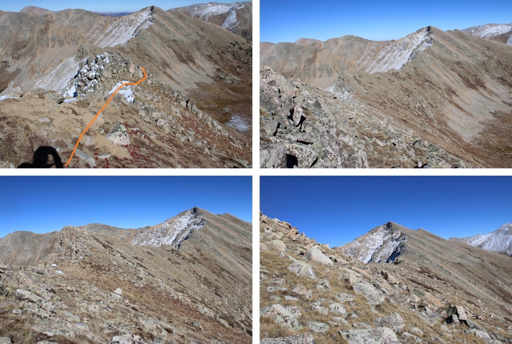
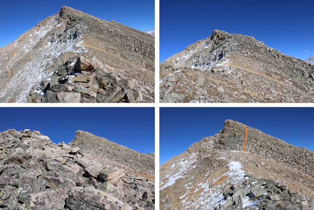
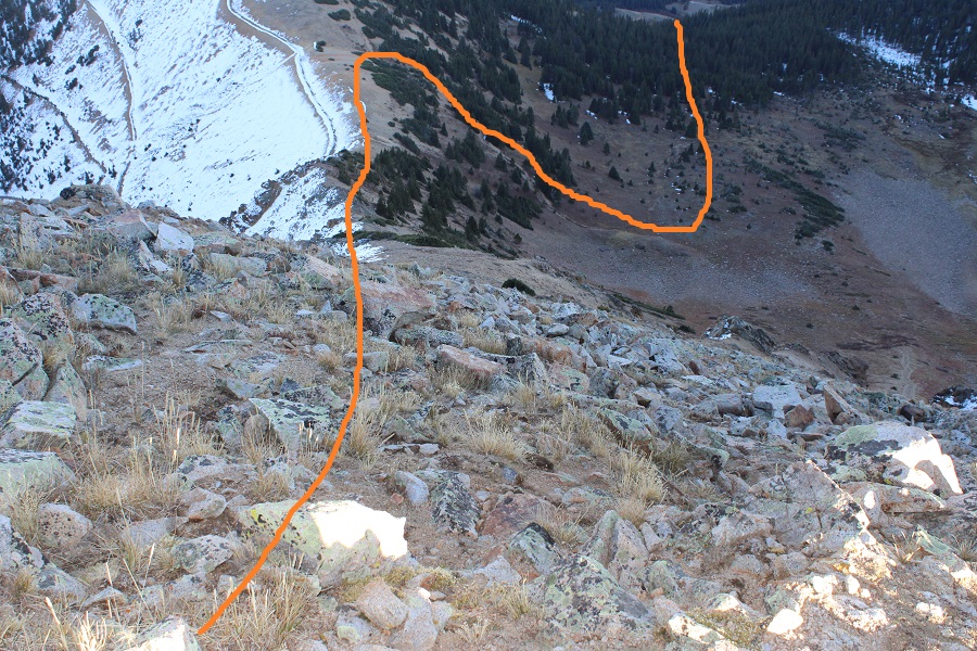
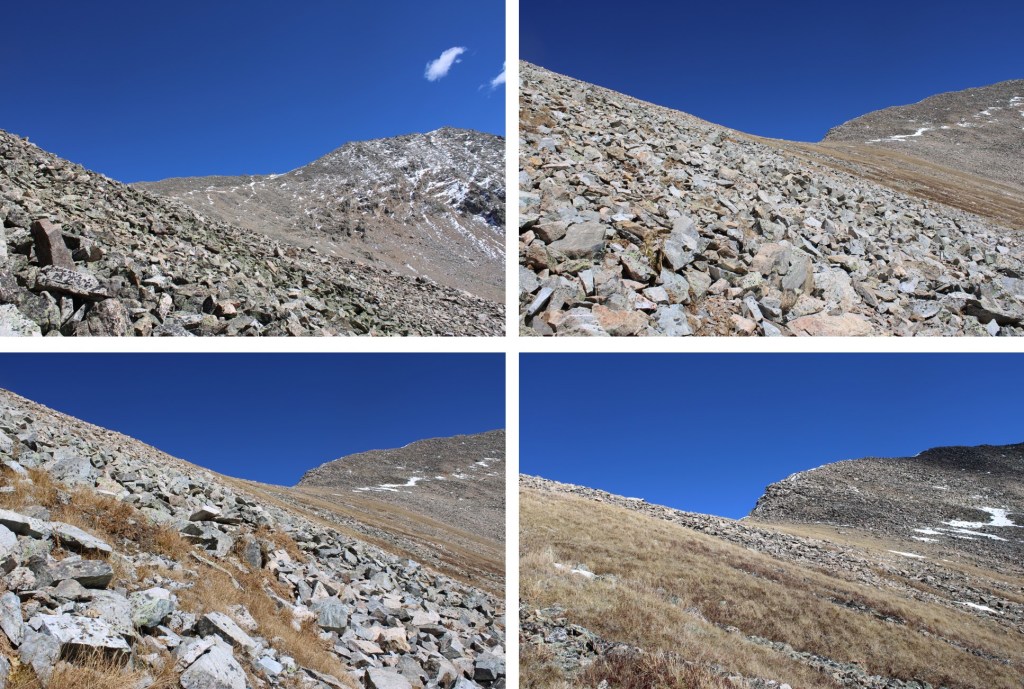
There are several routes to get there. I took a high route on my way up, the gully on the way down. There were cliffs I was trying to avoid. This is the route I took as I ascended.
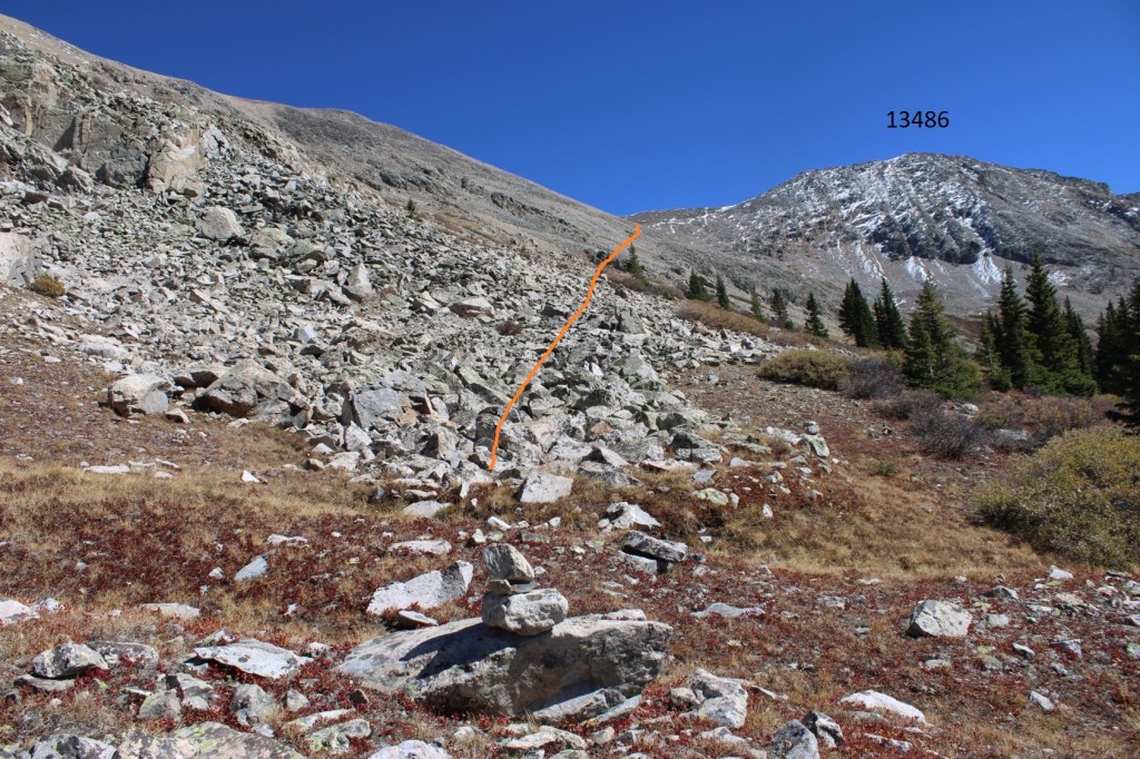
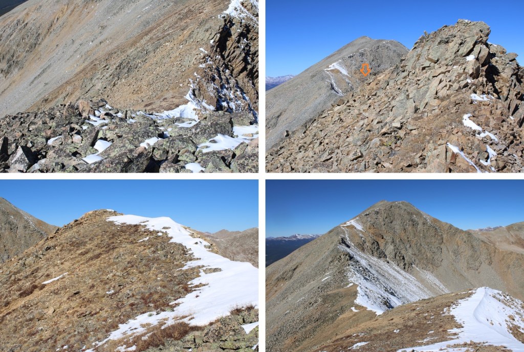
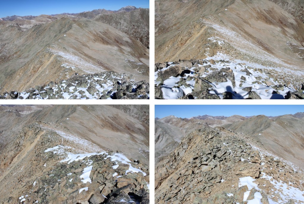
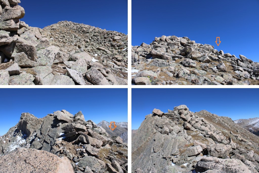
And some step-by-step pictures of the route, keeping high to avoid the steeper rocky sections

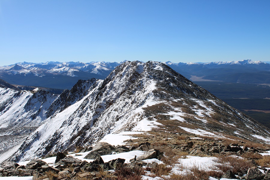
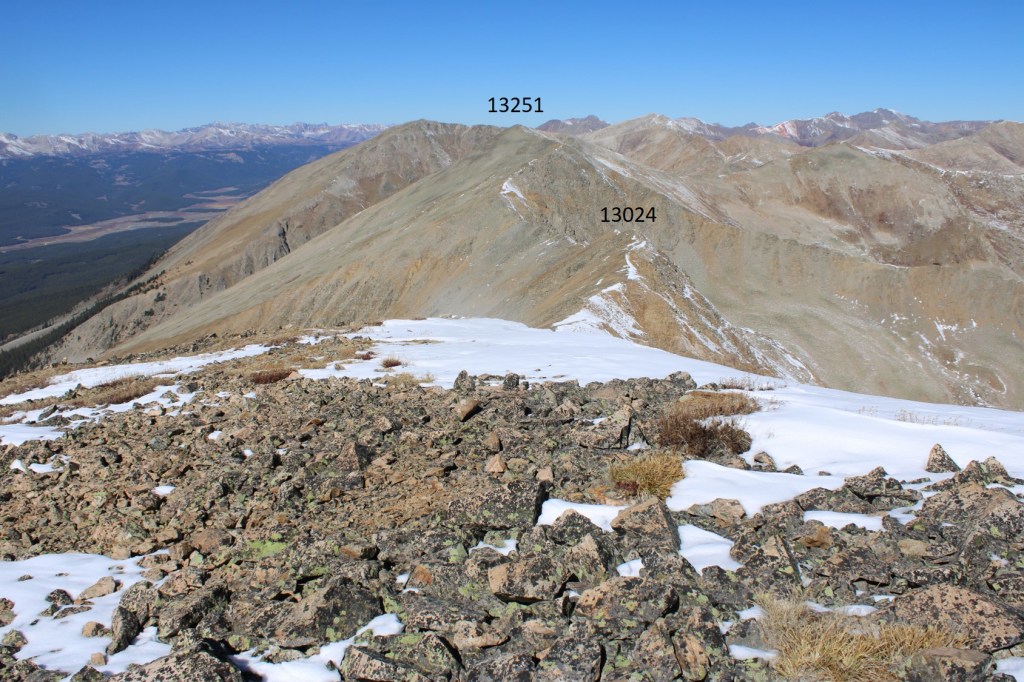
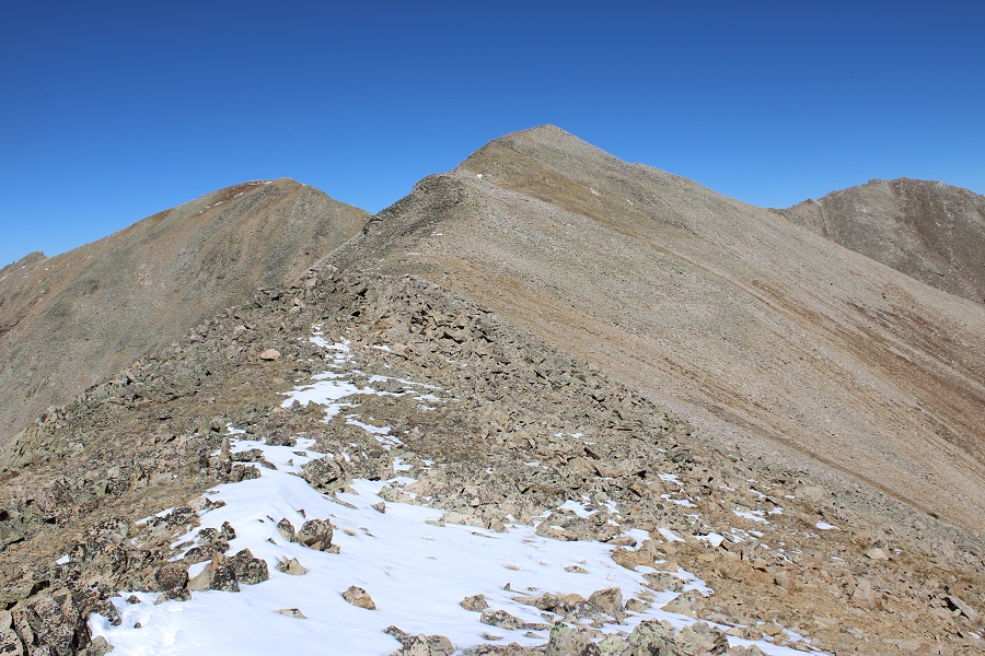
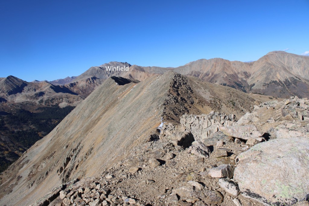
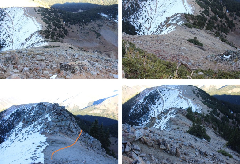
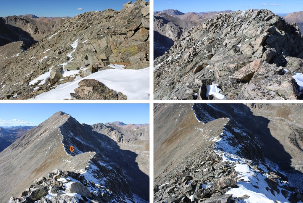
I kept rounding the hillside until I could see the Huron/13486 saddle. I headed for the saddle.
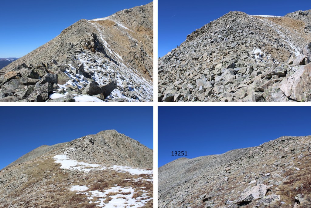
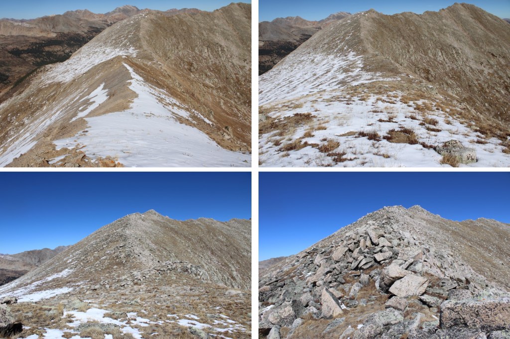
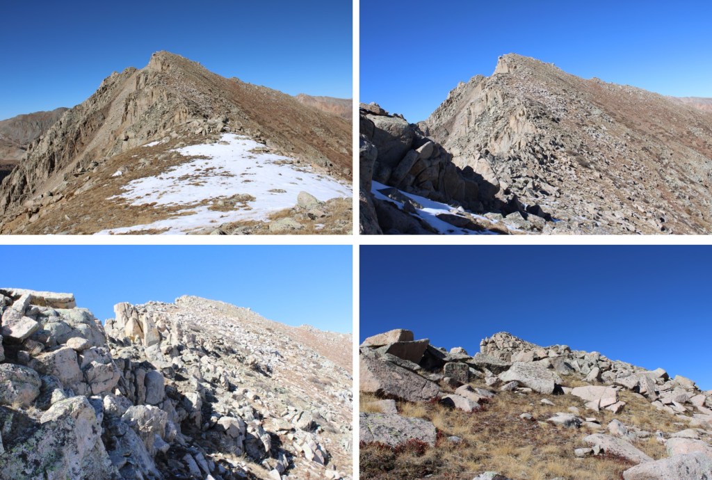
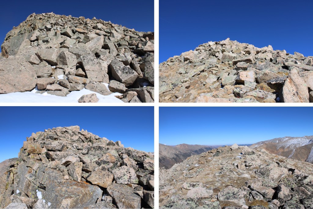
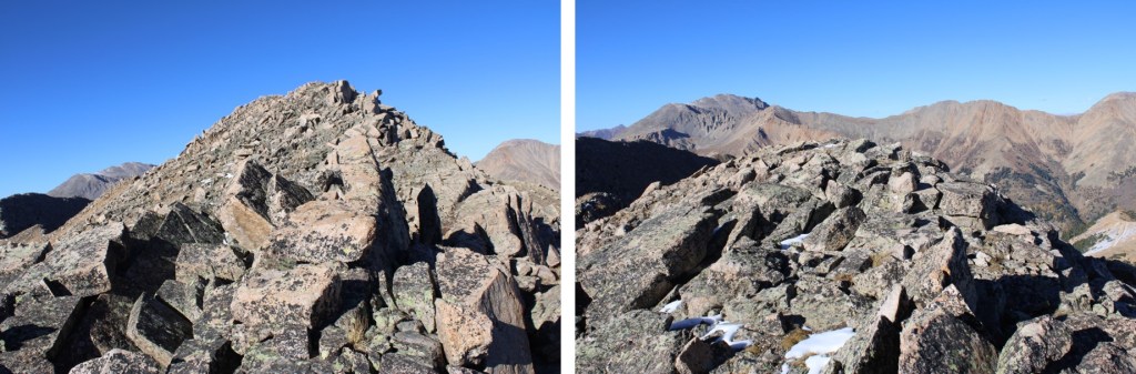
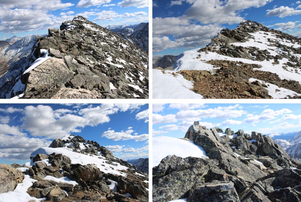
This now became a ridge hike. There were a few class 3 moves, and snow to make the route spicy.
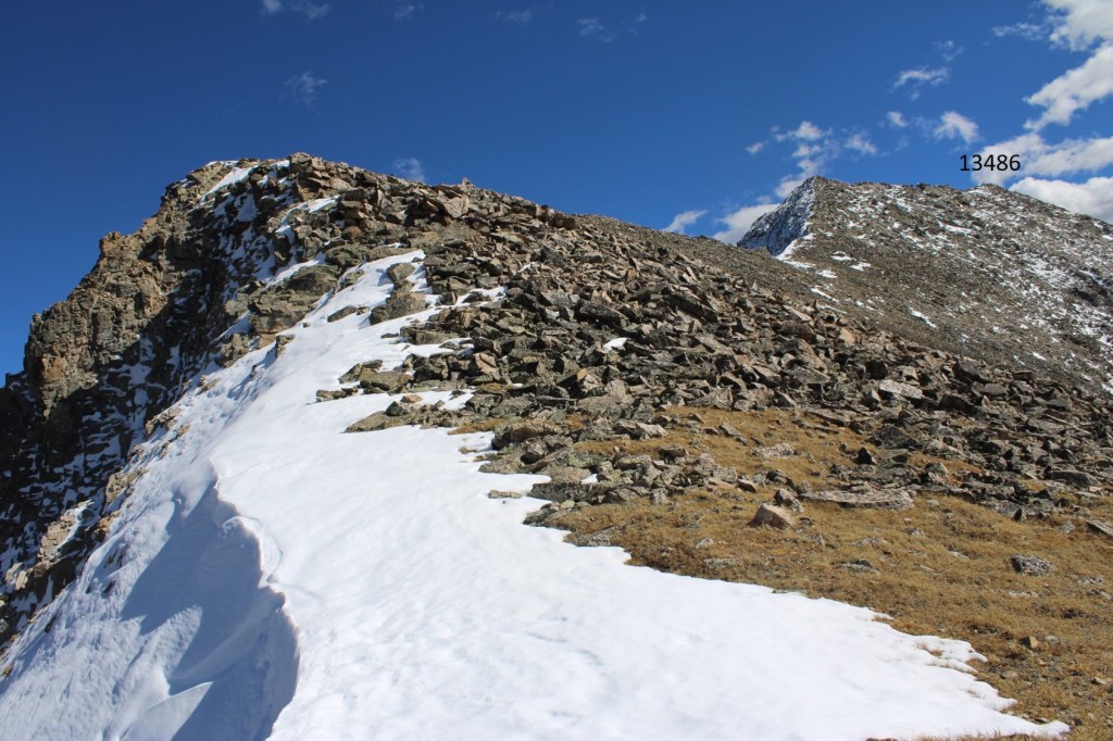
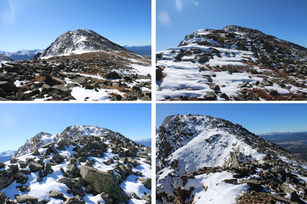
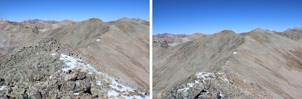
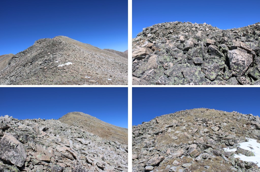
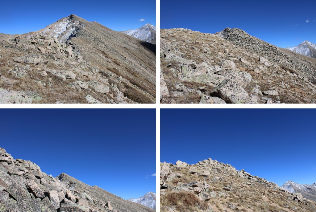
I mostly stuck to the ridge. Here are some pictures of the route to the summit.


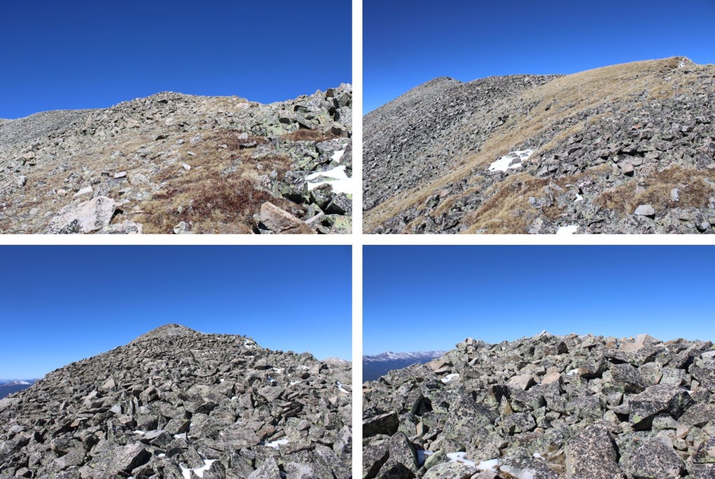
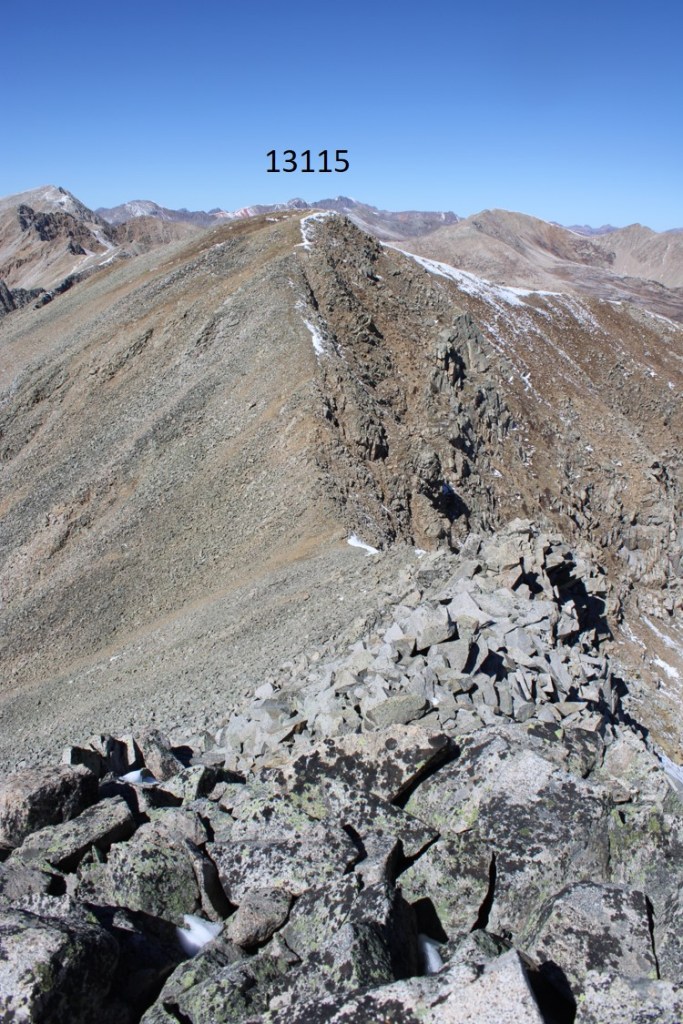
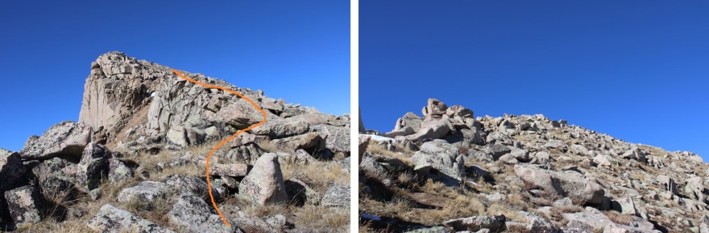
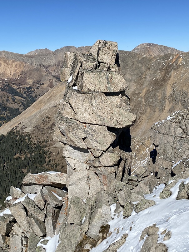
Here’s a look at the rest of the ridge. This is where it gets spicy. I stopped here for a bit because I met another climber on the trail, Larry, who’s a recent Bicentennial finisher (Congrats!!) We chatted for a bit, and I learned he was in more of a hurry than I was to get to another trailhead before dark, so I let him go ahead while I took a bit of a break. I checked my cell phone for service (none) and decided instead to play a bit of solitaire while I waited. After Larry summited, I was on my way again.
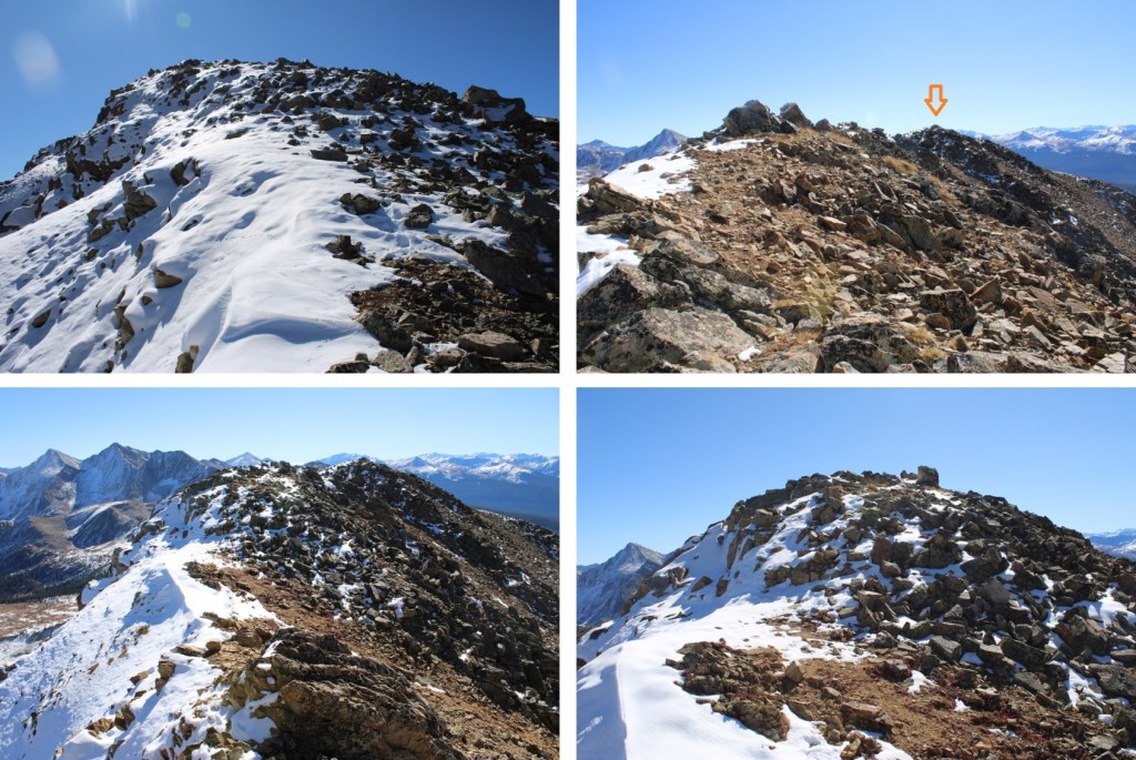
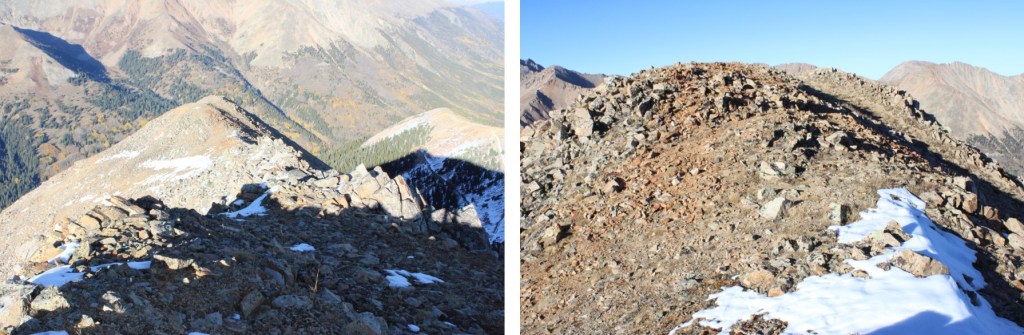
This was the hardest move for me. It was class 3, but the snow made it interesting. I went up to the right, came back down on the left
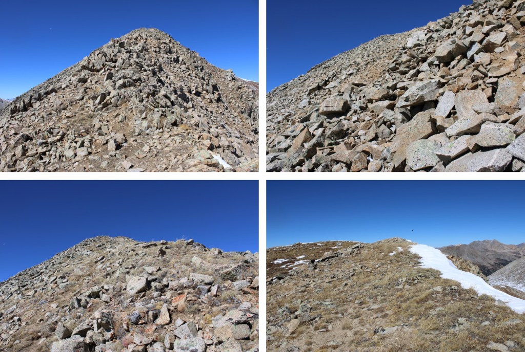
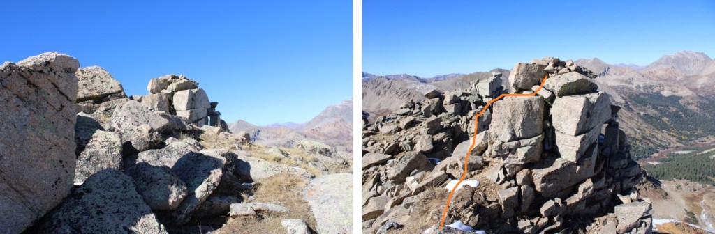
Here’s the final push to the summit
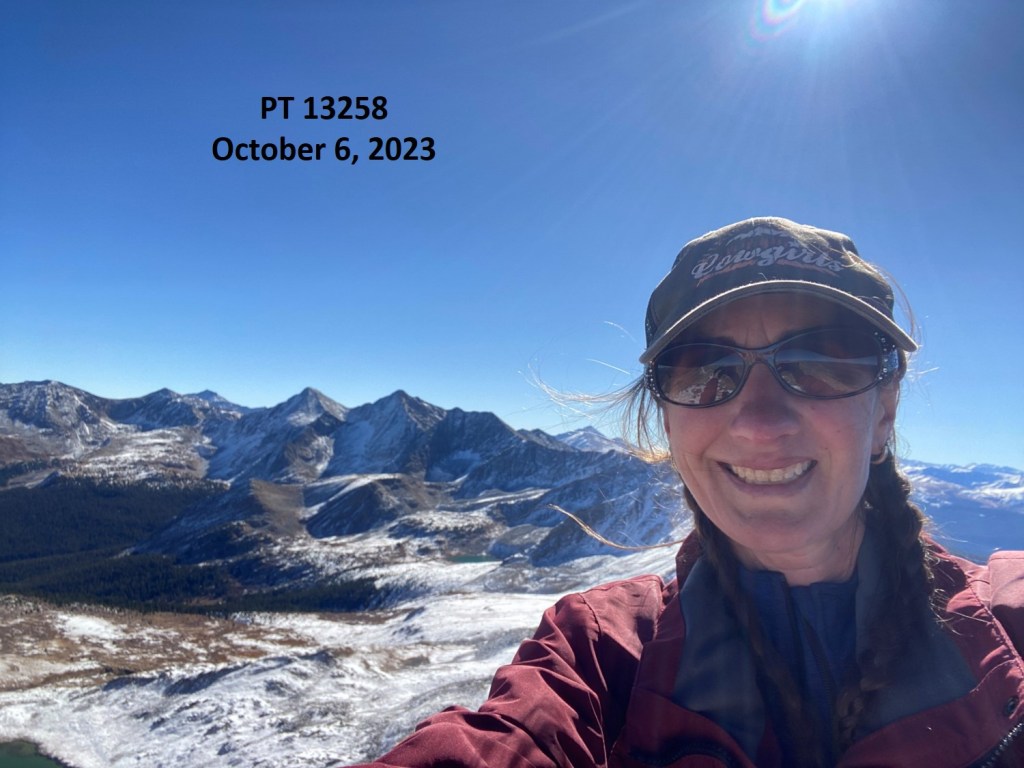
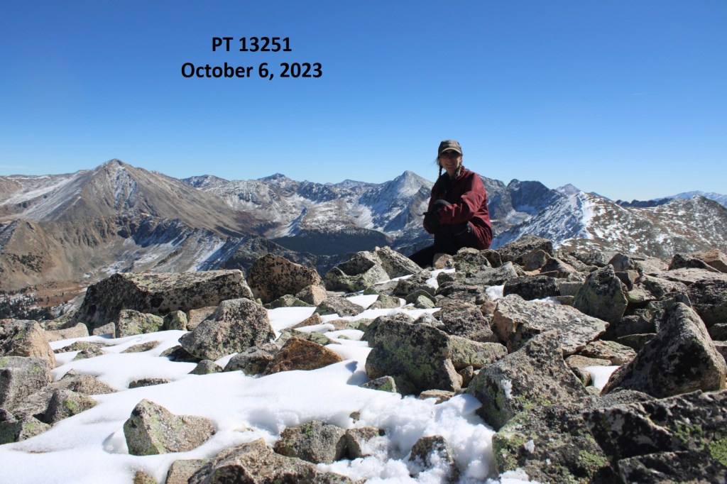
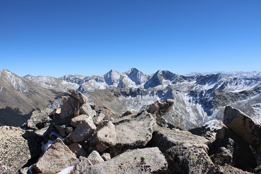
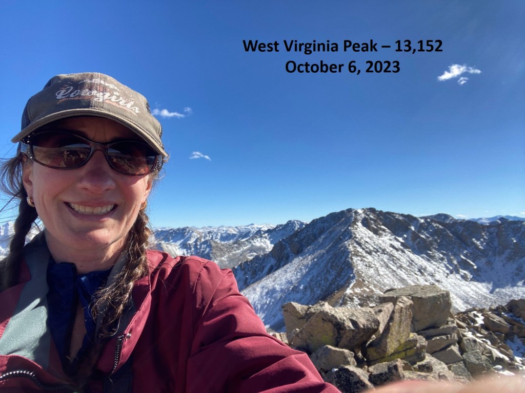
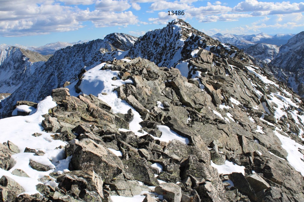
I summited PT 13486 at 3:30pm
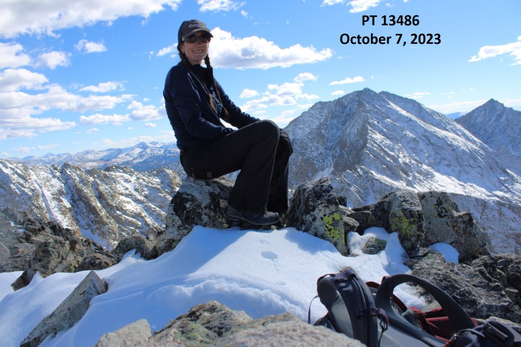
PT 13486:
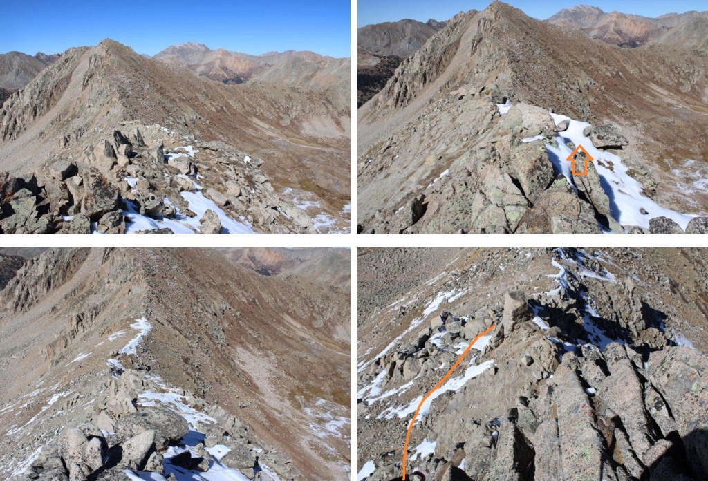
It was here I realized my negative thoughts had stopped as soon as I’d hit treeline. I guess having a visual of the route really helped clear my mind. I was glad I’d pushed on, even though it had already been a long day. I turned and headed back down the ridge to the Huron/13486 saddle.
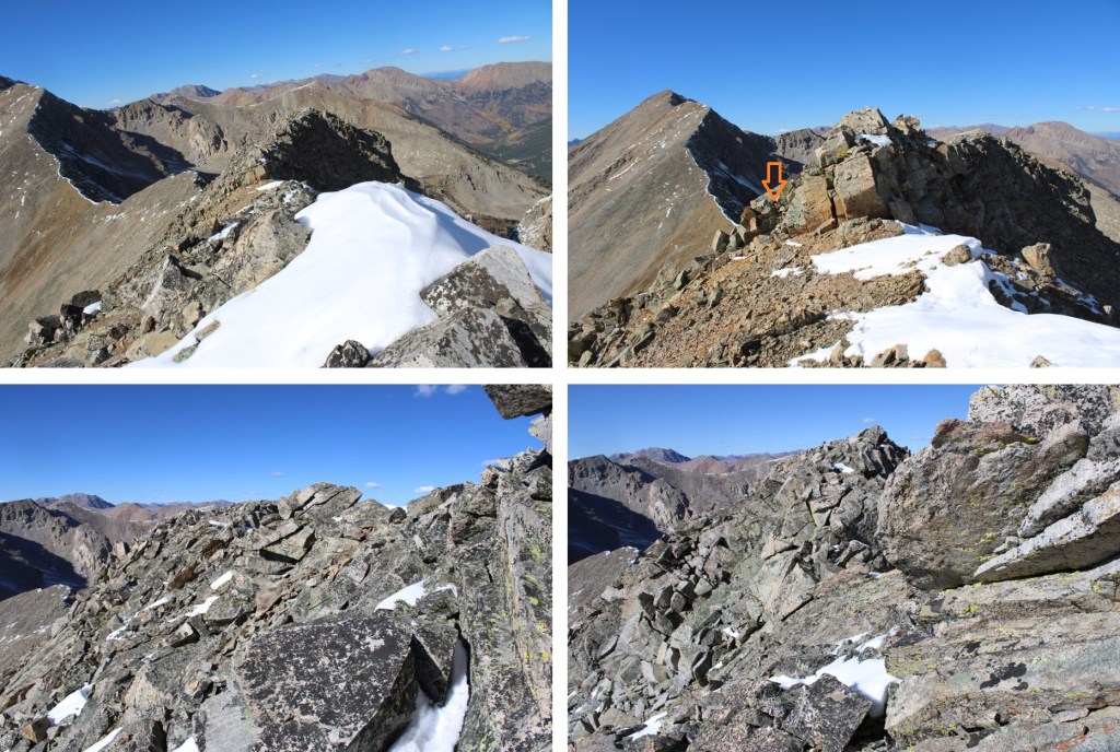
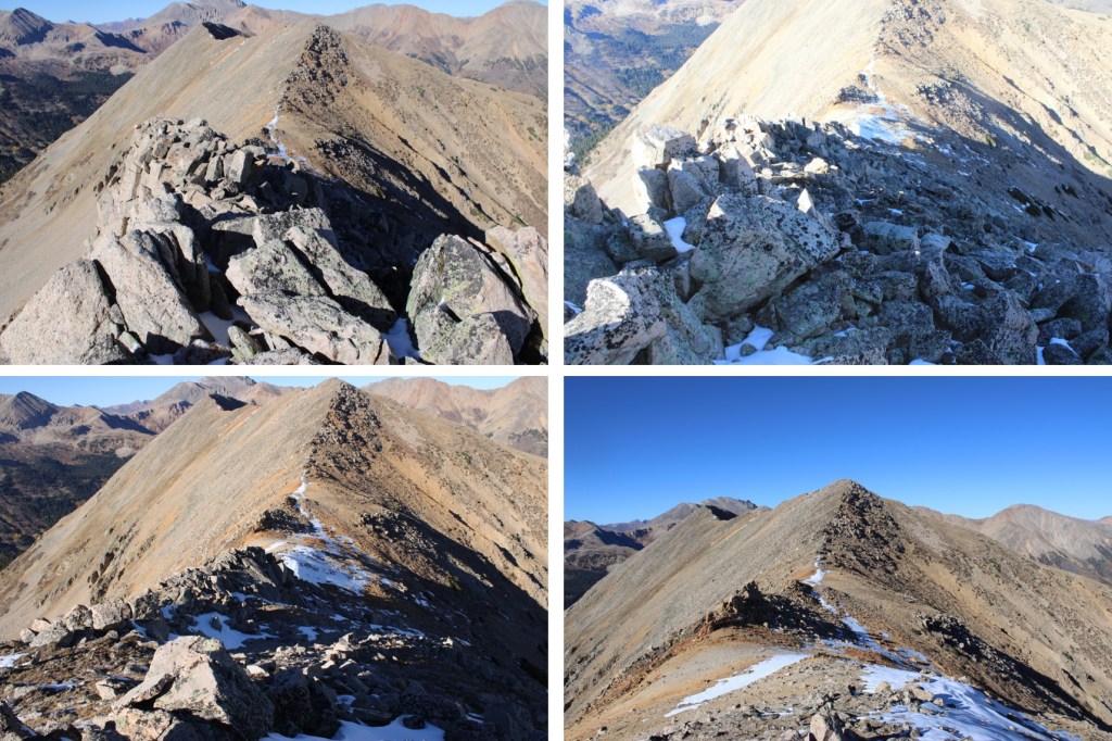
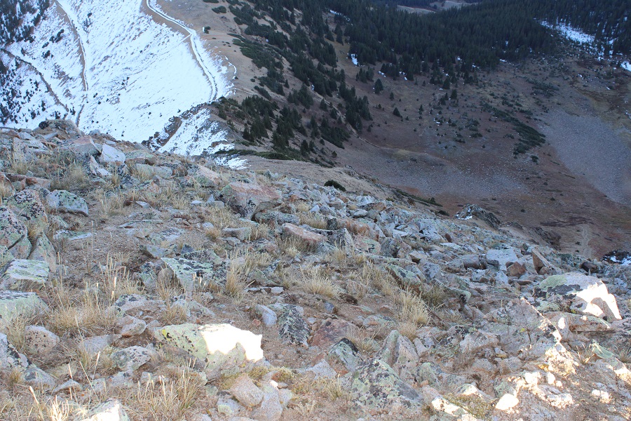
Back on the saddle, I turned left and decided to take the gully down. I descended to the patch of tundra below, at about 12400’
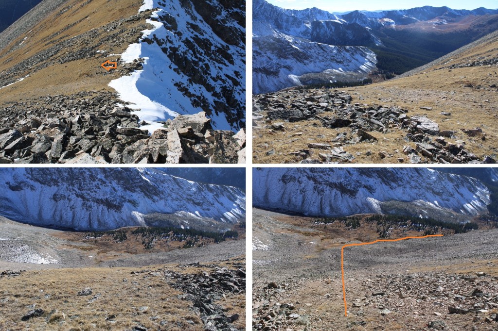
Here’s looking back up at the gully I’d descended (which you could ascend as well instead of taking the higher route)

At 12,400’ I turned right, descended about another 200’, and stayed at that elevation until I made it back to the cairned area.
I was aiming for the trees to the west

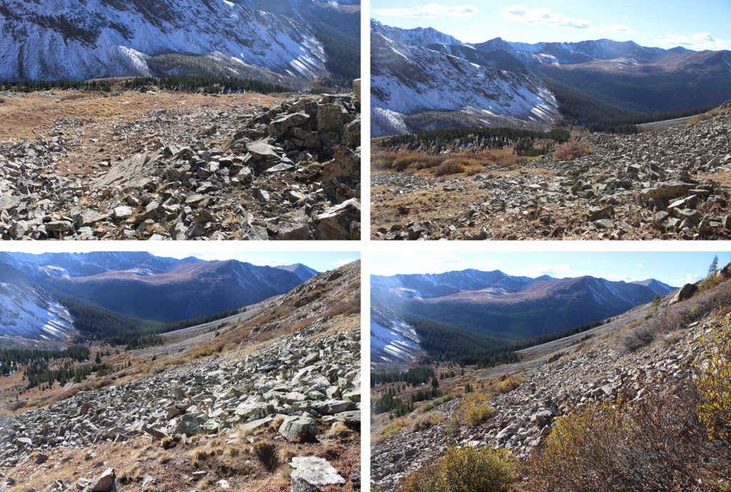
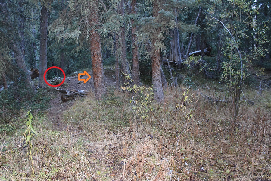
I then picked up the cairned route back down to the trees and the trail
I followed the miners trail through the trees, back to the actual trail
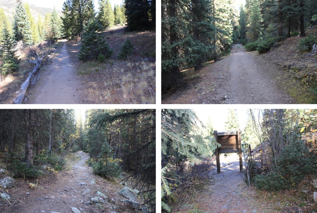
Then followed the trail north back to the Huron/Lake Ann Trailhead

And took the road back to the lower Huron Trailhead
I made it back down to the lower trailhead at 7pm, making this a 14.11 mile hike with 3299’ of elevation gain in 9 hours.

On to the next trailhead!