Paiute Peak – 13,094

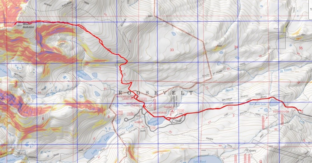
RT Length: 11.32 miles

Elevation Gain: 2781’

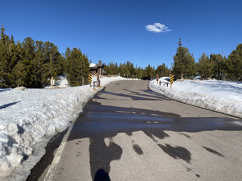
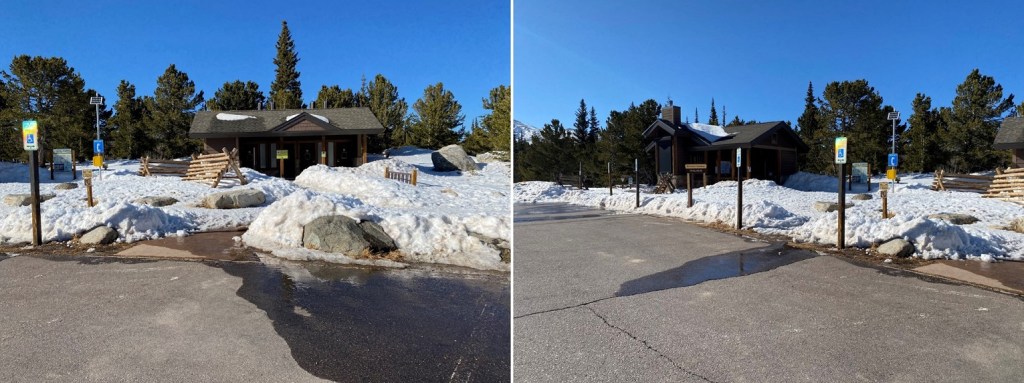
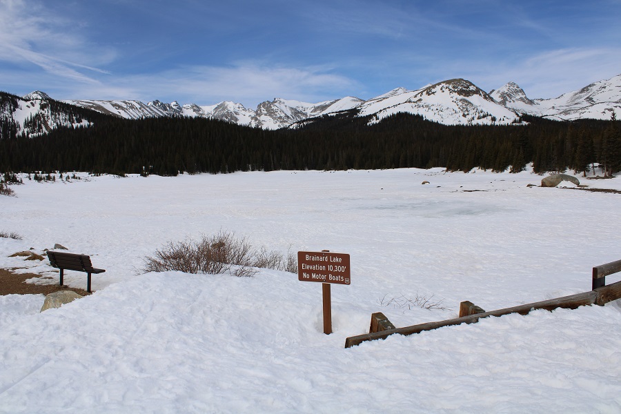
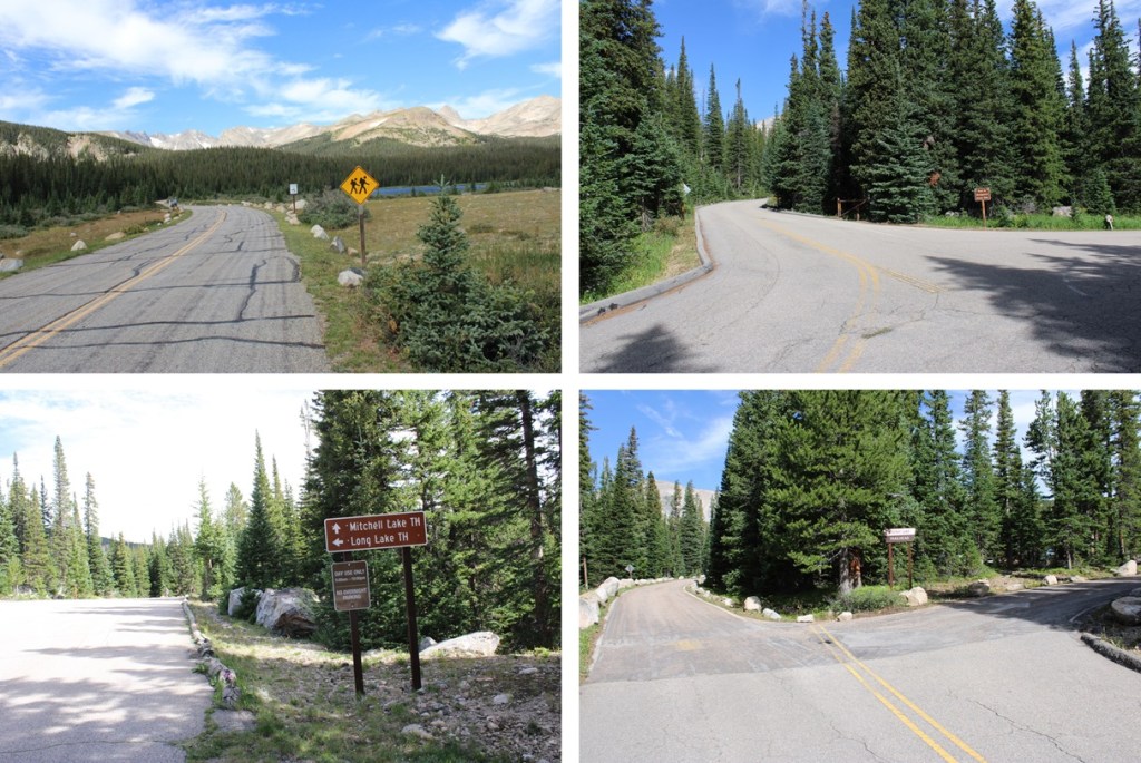
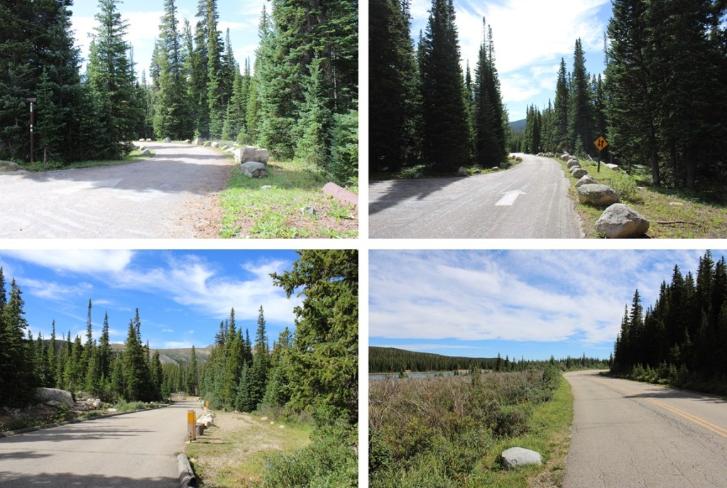
I was parked at the Brainard Lakes parking lot.  I already posted about why I was parked there, and not the Mitchell Lakes trailhead, so I’m going to skip that part this time. 

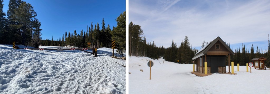
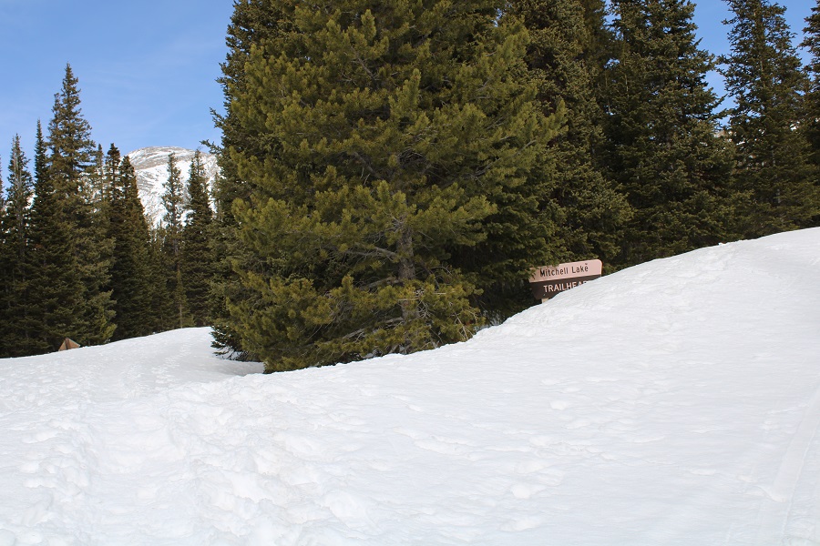
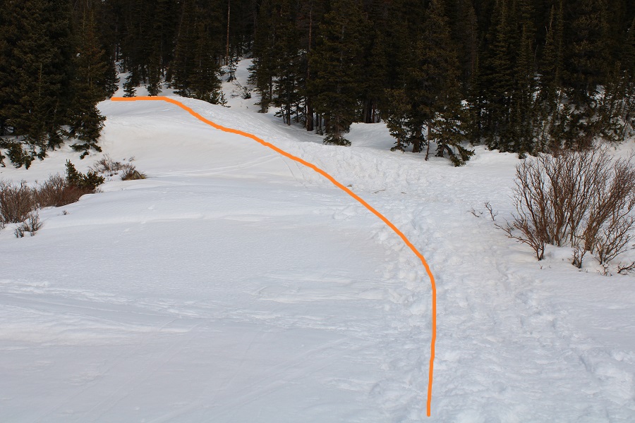
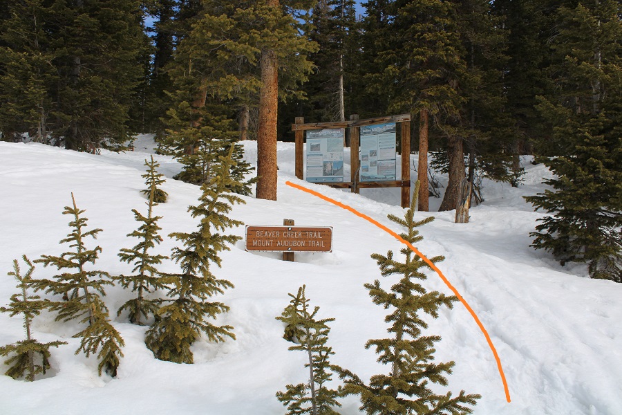
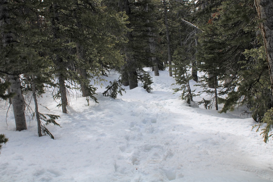
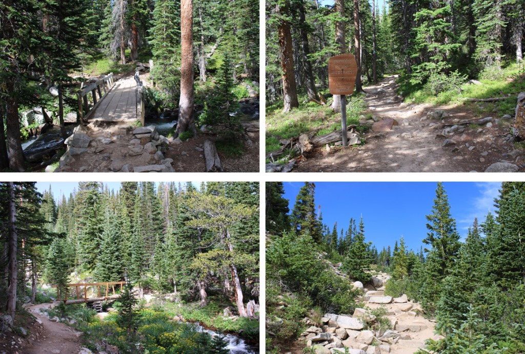
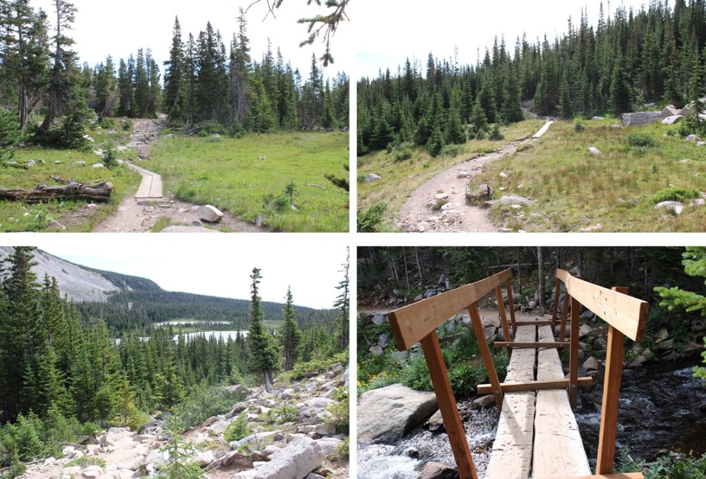
I was on the trail at 4:30 am.  My first order of business was to hike the 1.3 miles to the Mitchell Lake Trailhead. 

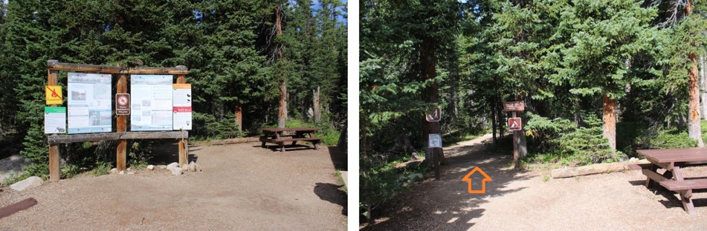
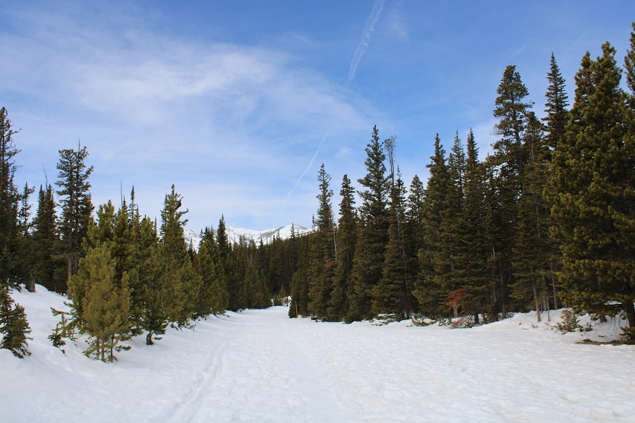
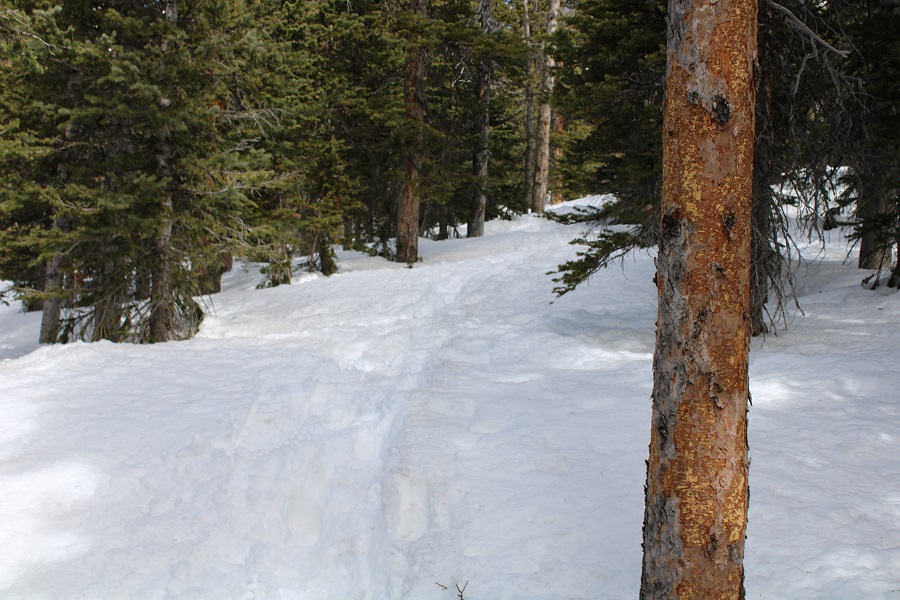
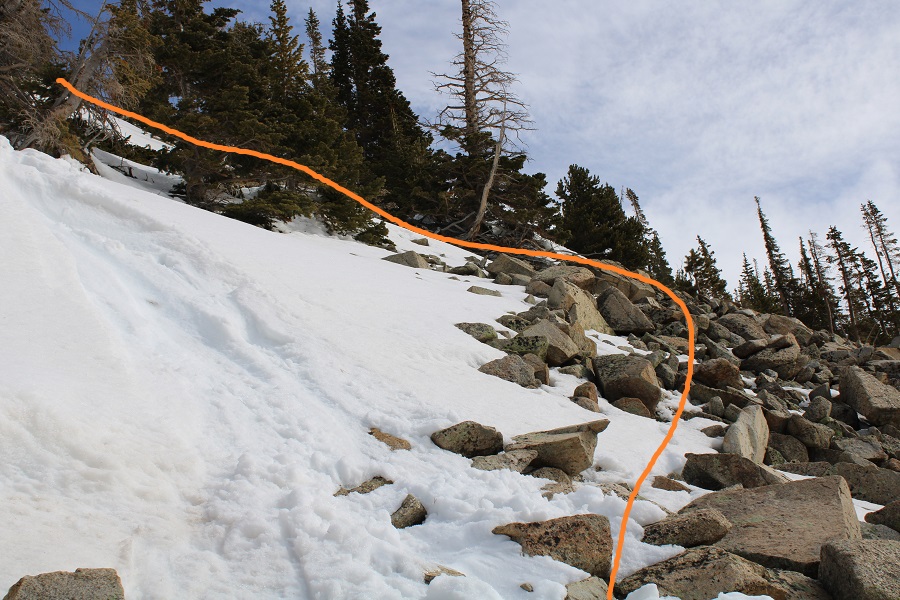
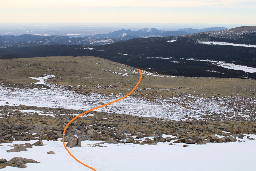
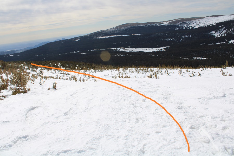
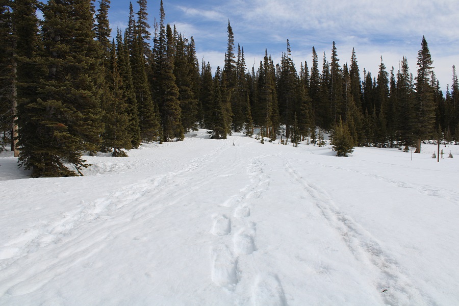
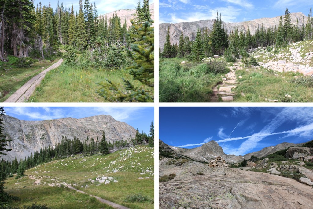
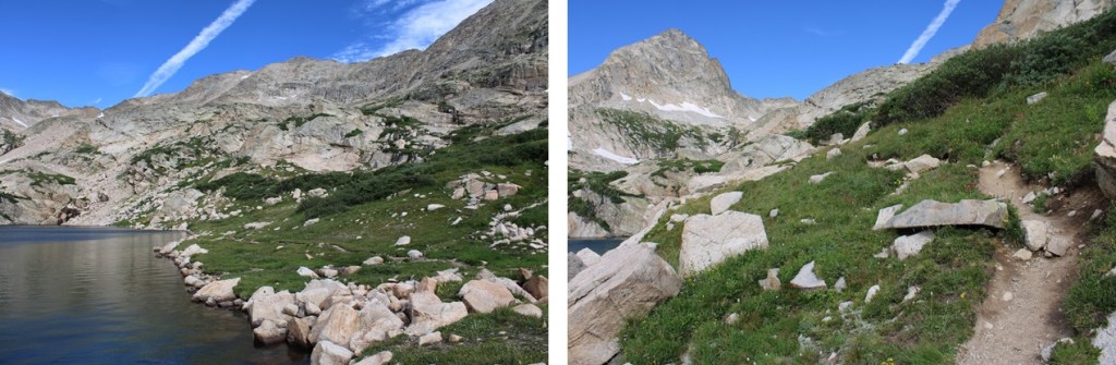
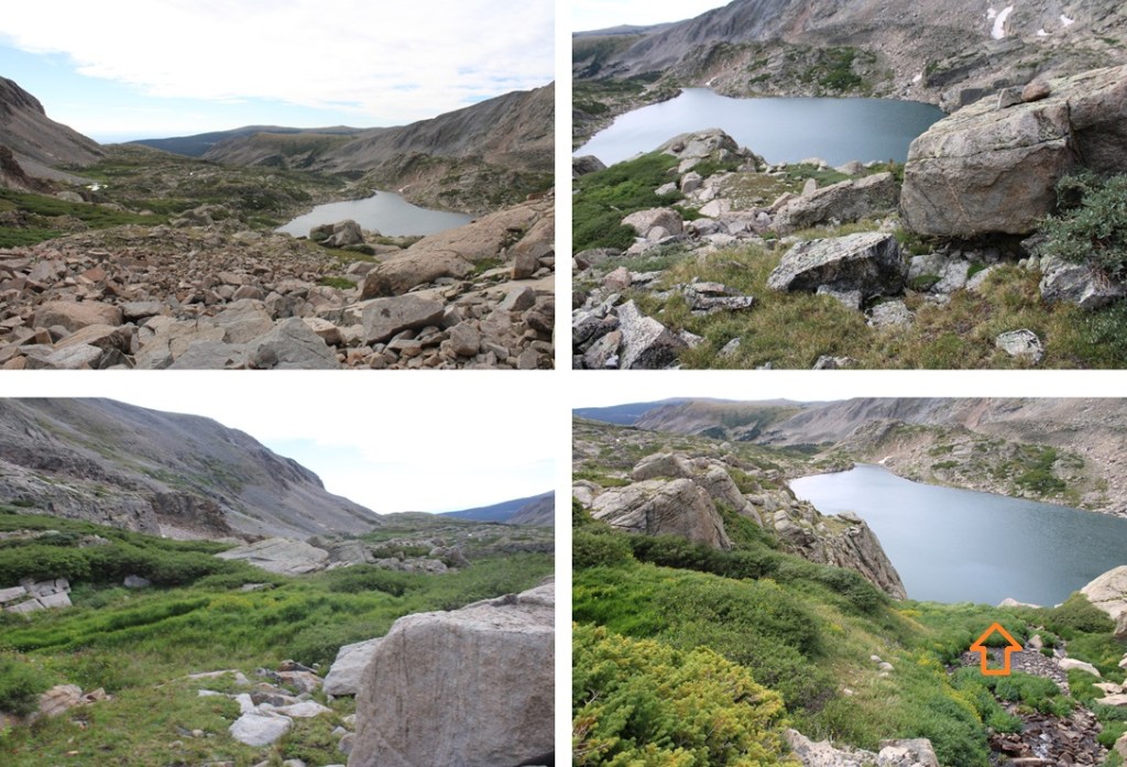
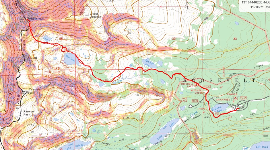
From the Mitchell Lake Trailhead, I followed the Blue Lakes Trail west towards Blue Lake. This is a well defined, class 1 trail with no junctions, so I was able to follow the trail the entire way.  From the Mitchell Lake Trailhead, it was around 3 miles to Blue Lake. 

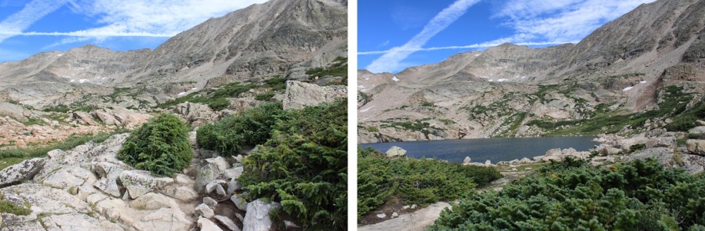
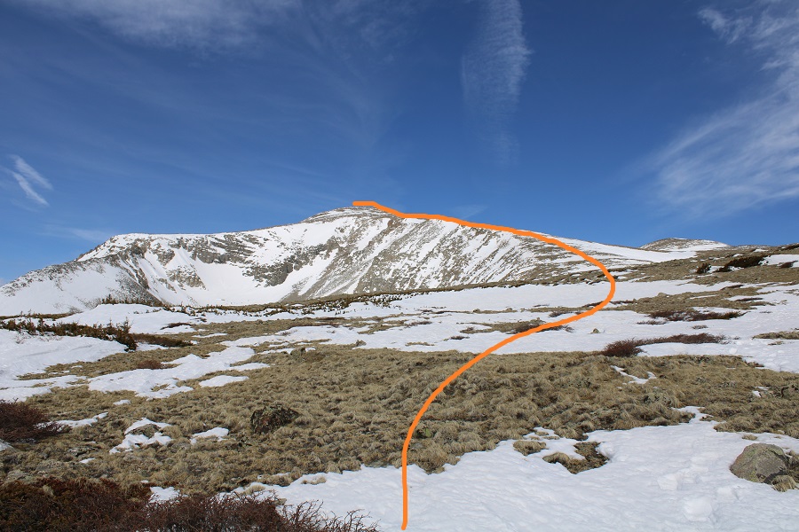
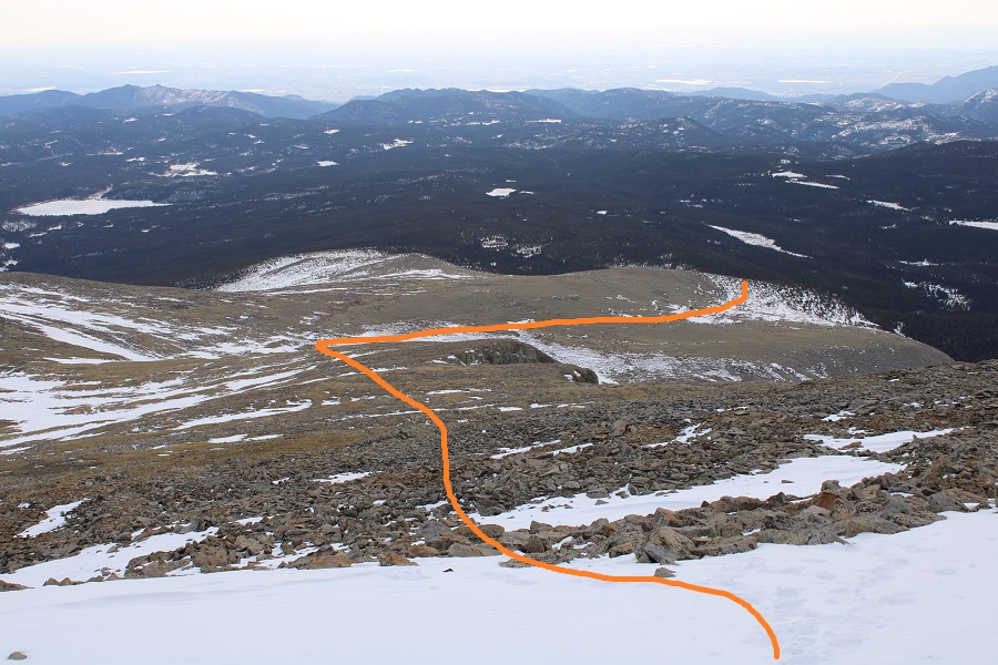
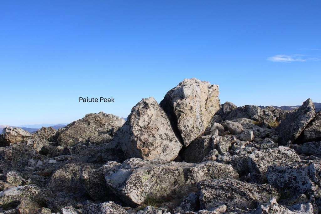
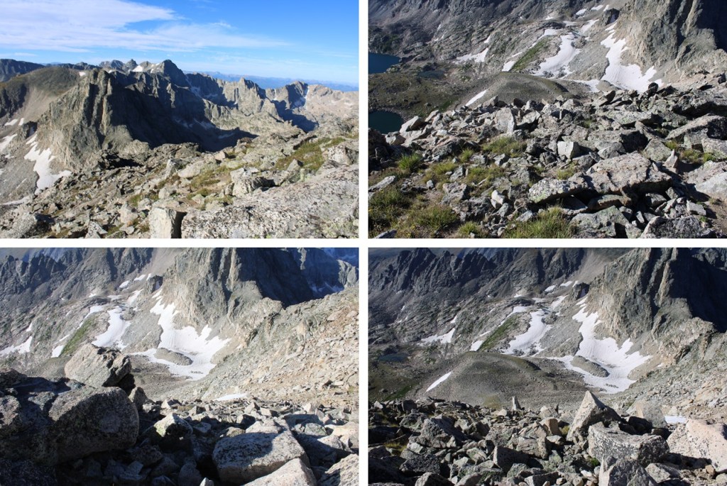
From Blue Lake I had a clear view of Paiute Peak.  Here’s an overview of the rest of my hike

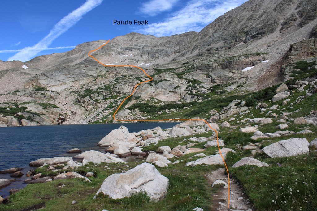
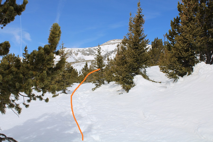
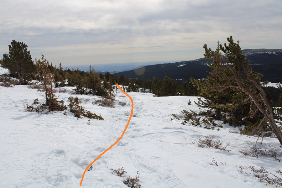
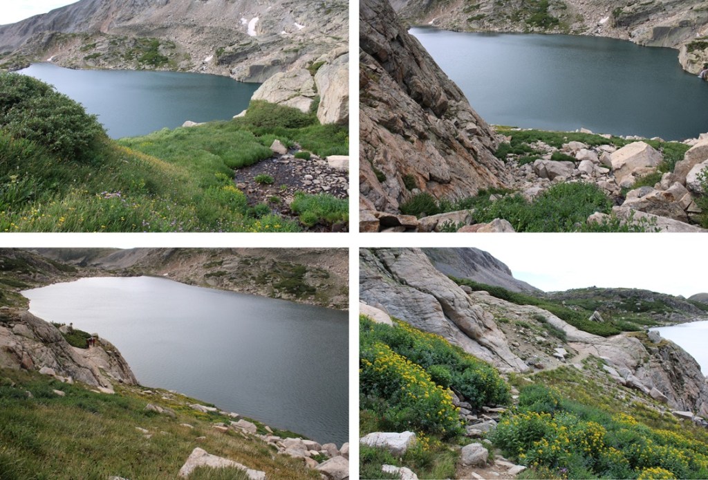
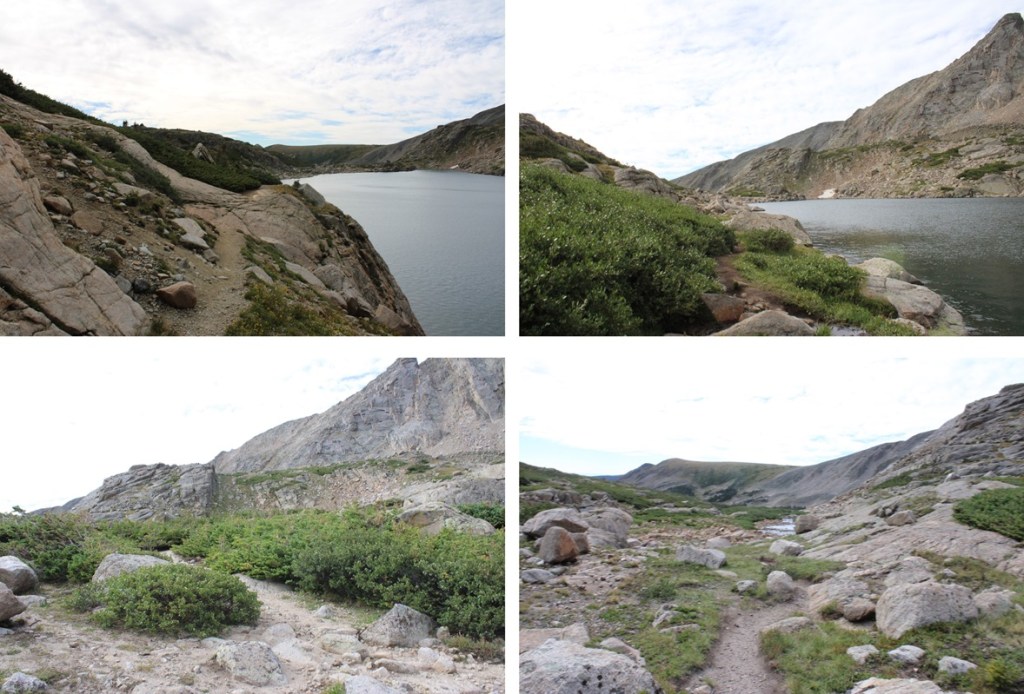
First, I followed the trail around the north side of the lake

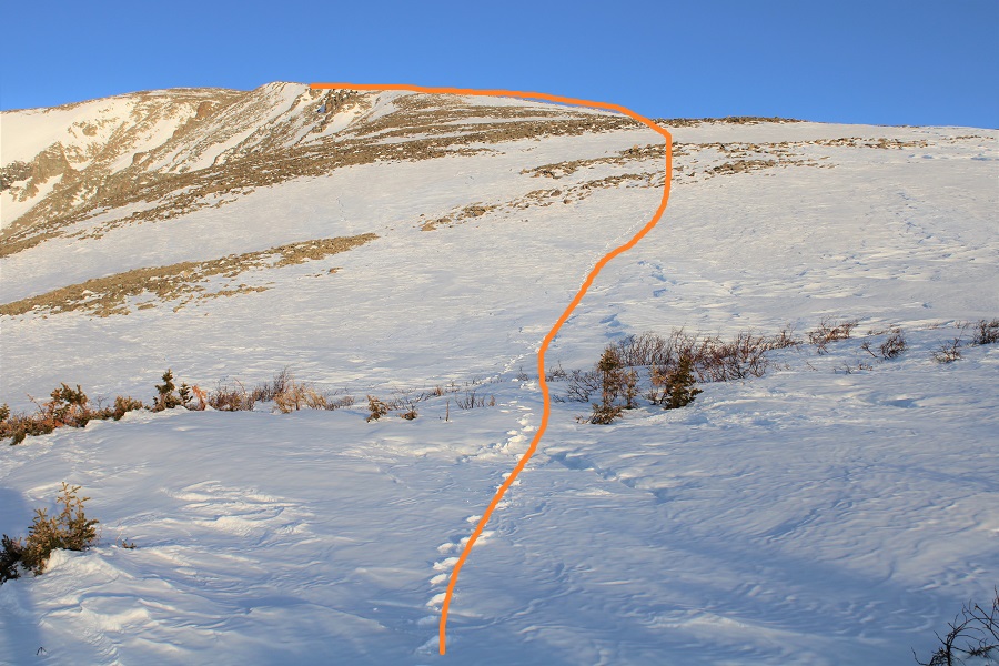
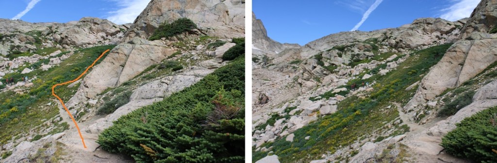
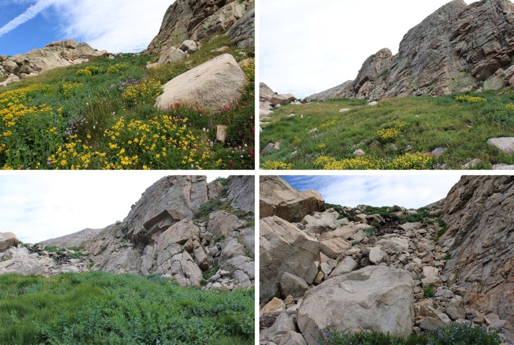
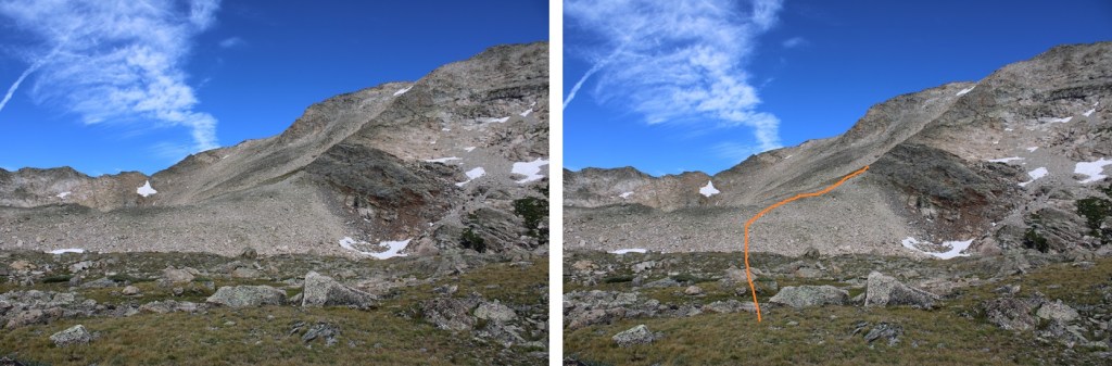
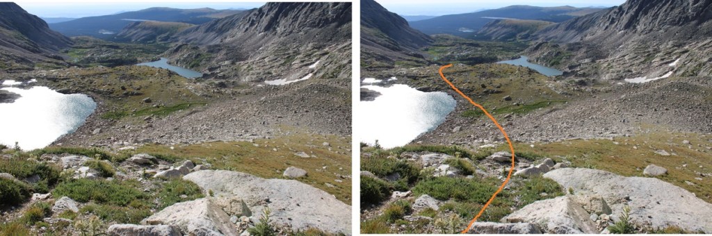
When I came to a grassy drainage, I left the trail and followed the drainage north

At around 11580’ I crossed the creek at a small waterfall, and headed northwest.

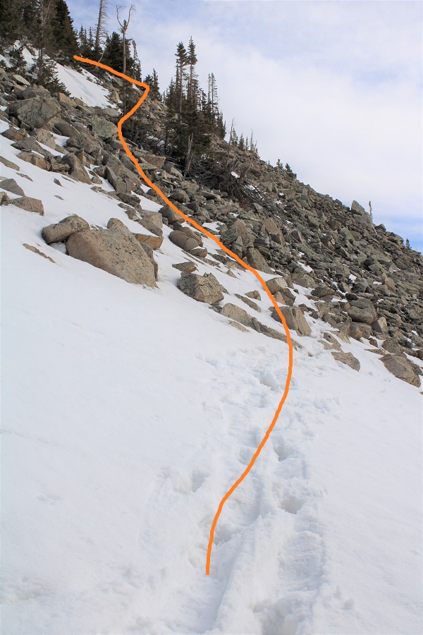
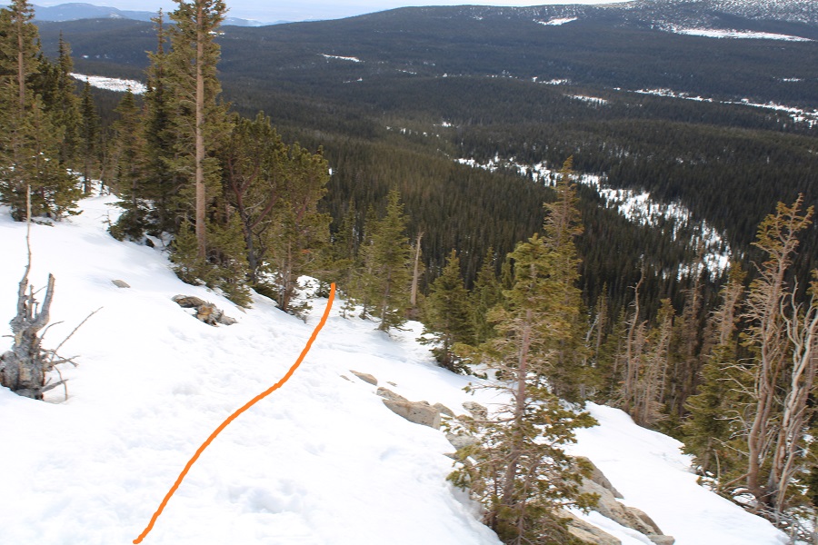
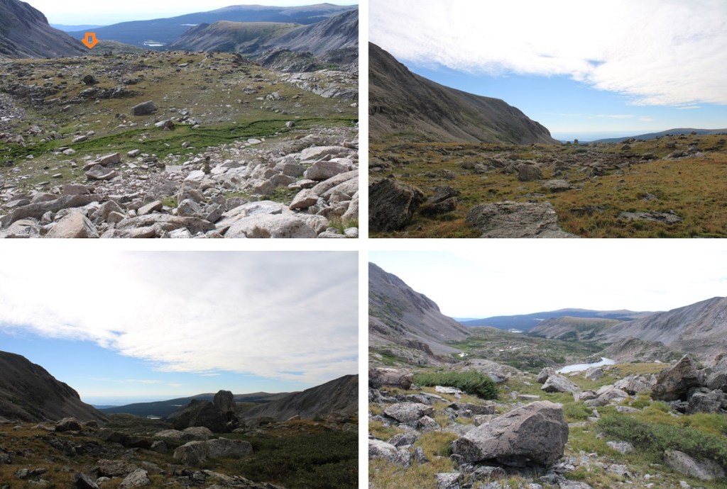
After crossing the waterfall I kept heading west, aiming for the ridge in the distance.  This was choose your own adventure.  I chose to go up and over the rocky gullies, doing my best to avoid the snow.  This can all easily be kept class 2.

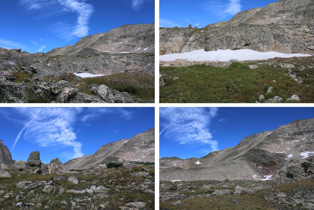
At this point , the lake at 11833’ was to the north of me, on my right.  I kept heading west, to gain this ridge.  There are a couple of cairns here, and parts of a game trail, but the main goal is to head towards the gully.    

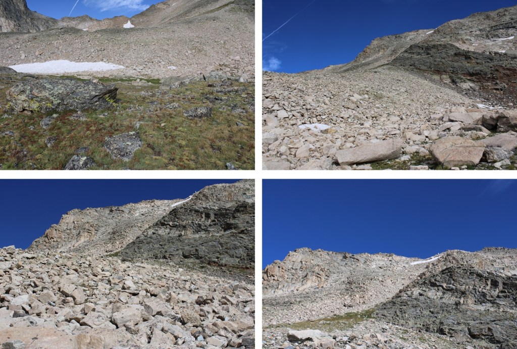
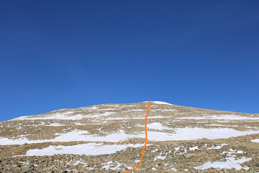
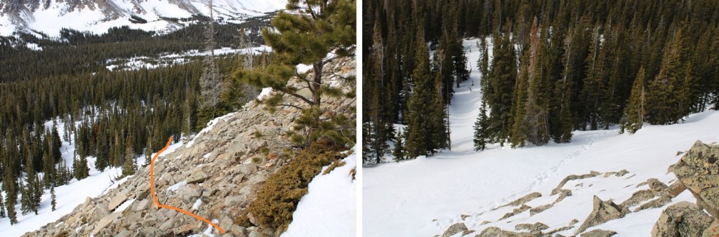
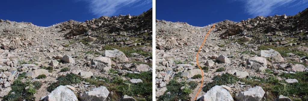
And now to head up the gully. I did this by heading north, staying to the right of the snow.   If there isn’t snow when you’re doing this route, you can aim for a rather large vertical rock sticking up straight (you’ll know it when you see it, as it stands out).  This gully had game trails leading to the top, and I’m sure you could take them all the way to the top of the gully.  However, I stayed to the right of the snow and then climbed up the rocky rib.  This was mostly class 2, with a few easy class 3 moves thrown in.

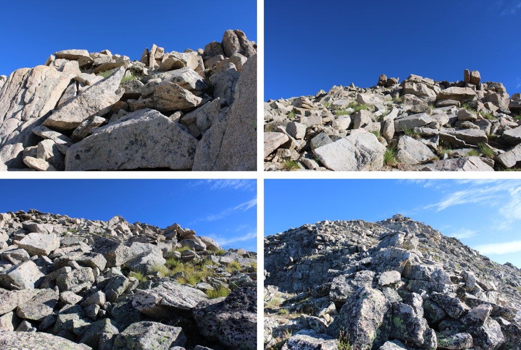
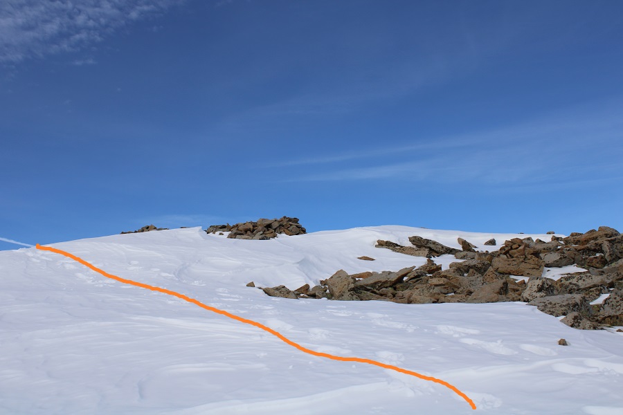
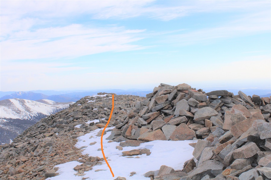
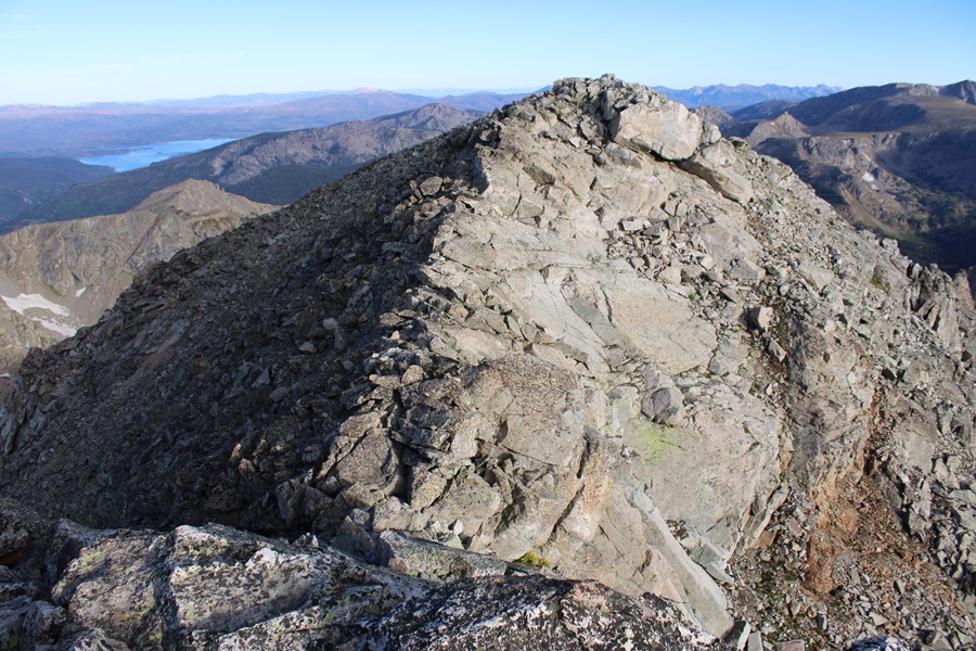
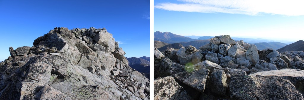
At the top of the rock rib, you’ll see what appears to be the summit of Paiute Peak to the north. It’s actually a false summit, but aim for it.

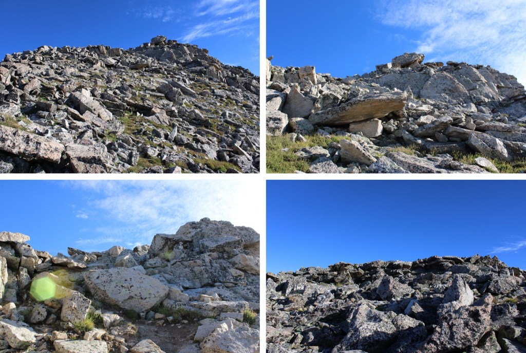
From here, the true summit is to the northeast.  Head towards two boulders that look like the summit (they’re another false summit)

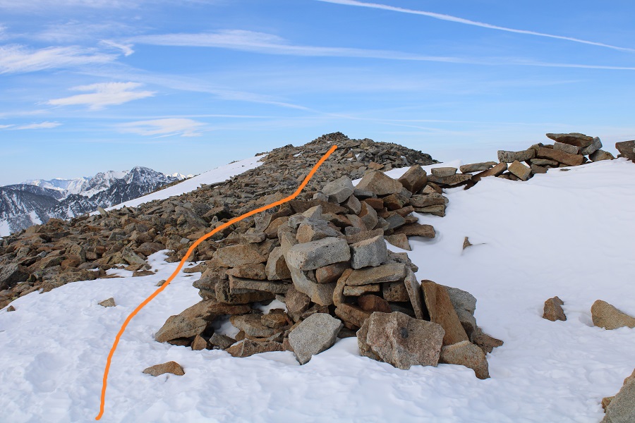
From those two boulders, the summit of Paiute Peak is visible to the north.

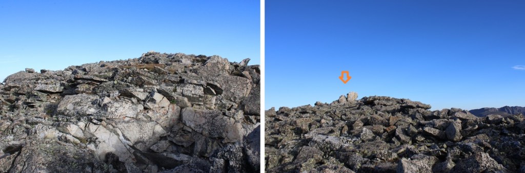
To get there I downclimbed a difficult class 3 section (or easy class 4) with exposure.  This was much more difficult to downclimb than to upclimb.  And it was very windy this day, making this ridge extra spicy.  The route down and then up to the summit are obvious.  There was a cairn at the top, and a summit register.

I summited Paiute Peak at 7:30am
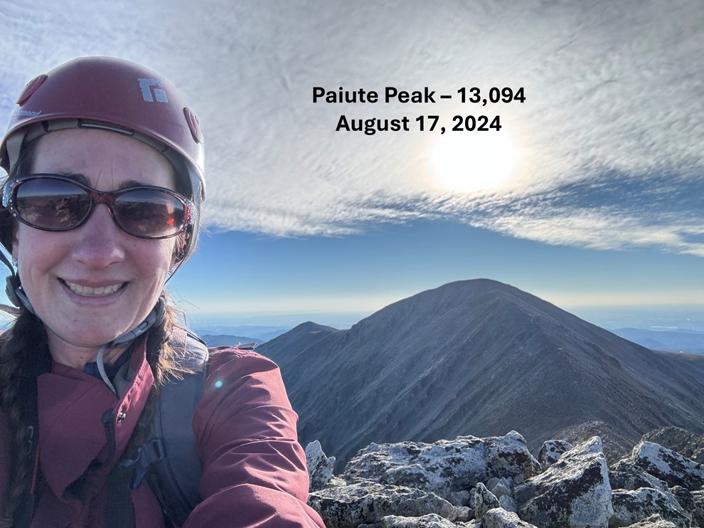
Paiute Peak:

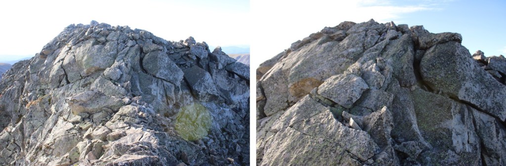
From the summit looking back, it really, really looks like where those two boulders are is higher, but there was a register here, so I’m assuming it’s the true summit.  Now to head back.  This “v” was much easier to upclimb. I used the same route down as I did on my way back up.

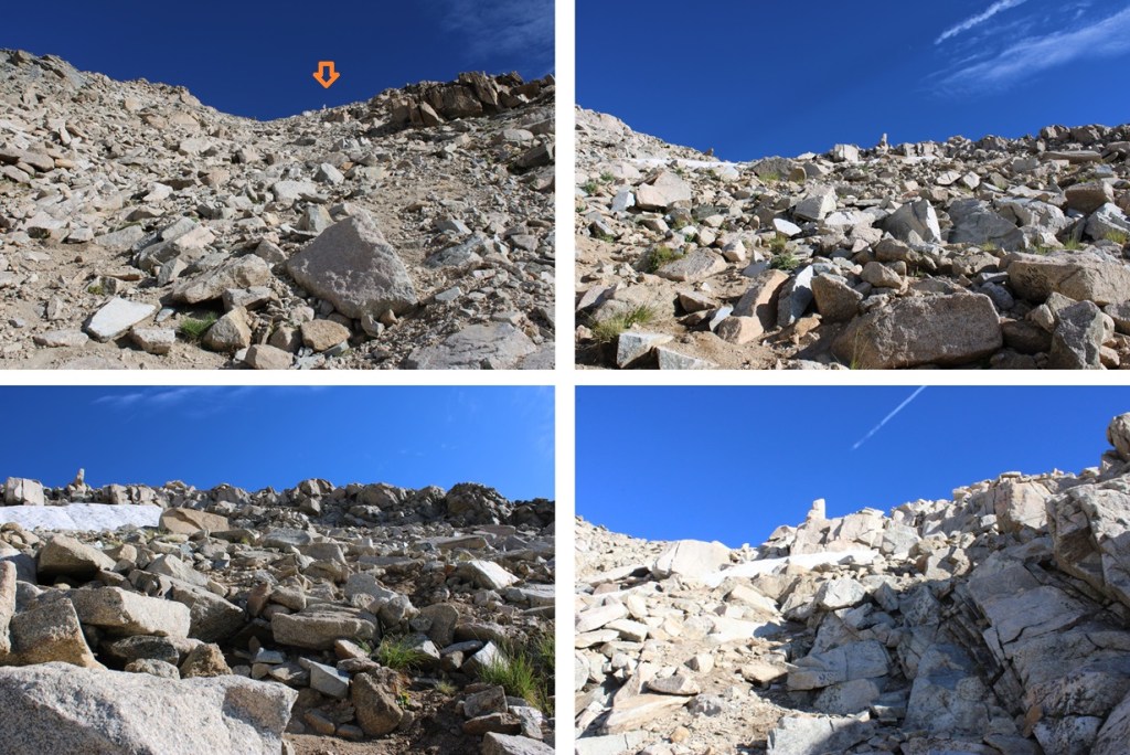
I then made my way towards the gully.

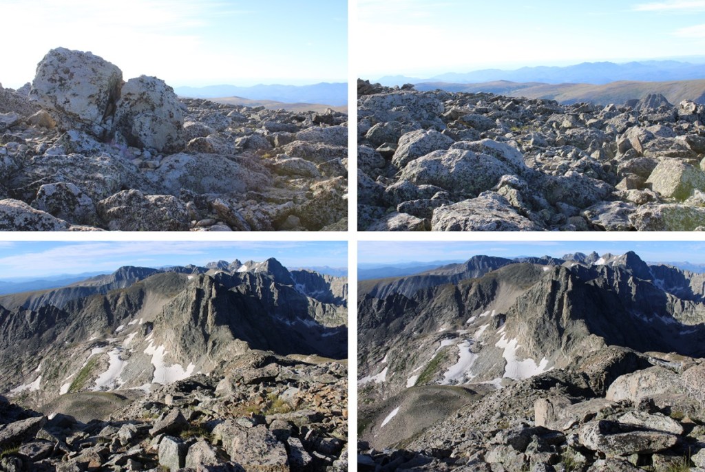
I went southeast down the rocky rib

Then descended the gully

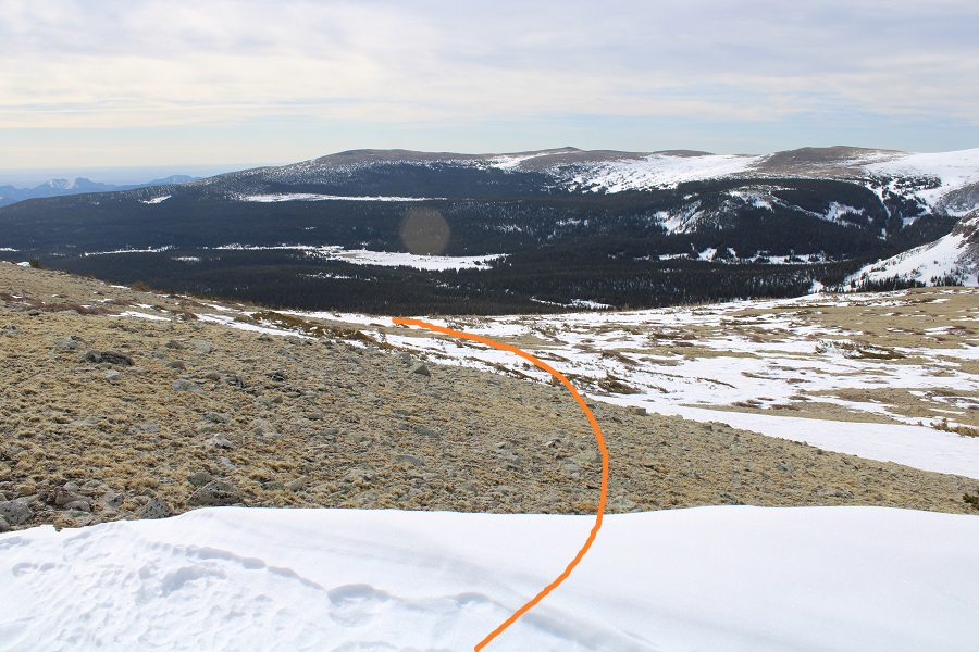
At the bottom of the gully I turned left, and made my way back towards Blue Lake

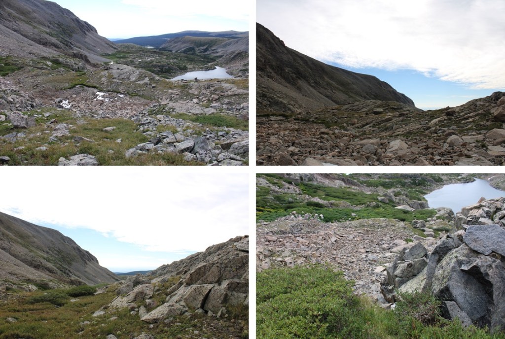
I aimed for the drainage, then followed it south towards Blue Lake and the trail below

Back on the trail, I followed it east back to the Mitchell Lake Trailhead, passing several lakes along the way.

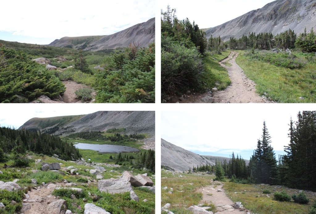
Back at the Mitchell Lake Trailhead, I followed the road back to the Brainard Lake parking area.

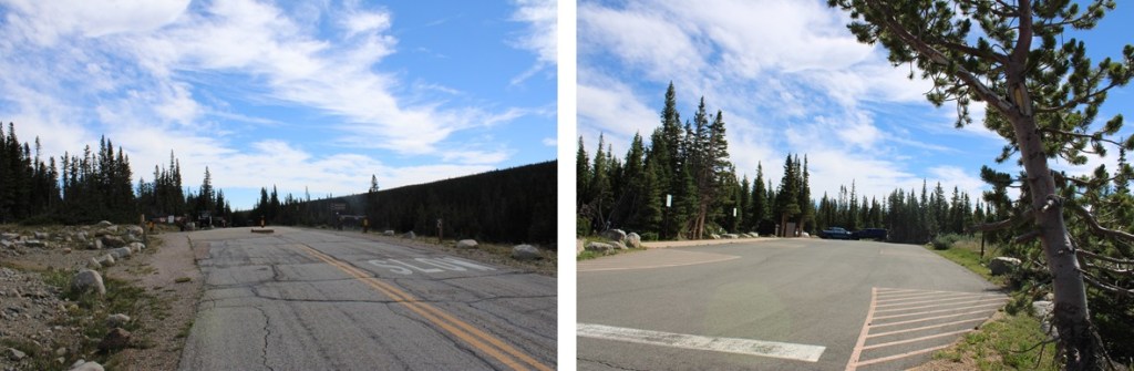
I made it back to the Brainard Lakes trailhead at 10:30am, making this an 11.32 mile hike with 2781’ of elevation gain in 6 hours.

On to the next trailhead!

Mt Audubon – 13,223

RT Length:  13.07

Elevation Gain:  3285’

The last time I attempted this peak (earlier this winter) I arrived in the dark while it was snowing.  I was unable to find the parking area (it was covered in snow) and turned around and drove home before the hike even began.  This time I decided to arrive during the day, and I was a bit embarrassed I’d turned around last time:  the parking area is huge and hard to miss (unless the entrance is covered in over a foot of snow).  Here’s a picture of the entrance

This is the parking area.  There are bathrooms here and an information center.  I’m guessing 75 vehicles can park here.

I parked at the east end of the parking lot and took a look around.  Not a bad backyard view for the night.

I spent the next two hours relaxing.  I love making it to the trailhead the night before and just enjoying the quiet time.  I watched the birds fly up and down the trees, looking for insects.  I people watched, sat and watched the clouds, admired my view of Mt Audubon, and got out some whiskey and read for a bit.  I also ate 3 snack sized bags of chips.  I went to bed earlier than I would have if I’d been at home, but as always when I sleep in the back of my truck, I slept soundly.

Soundly that is, until 3am.  That’s when I heard a couple walk back to their vehicle, which had (unfortunately) been parked right next to mine.  They started the car, and chatted for a bit before taking off.  I thought it was a weird time to make it back to their car, and wondered why they’d been so loud?  There were obviously several people boondocking in their vehicles, trying to sleep. I lay there for the next hour, wanting to get up to pee but not wanting to leave my nice, comfy bed until it was time to do so (we’ve all been there, right?).  At 4am I was up and on the trail by 4:15am.

I started at the winter closure, marked by this gate and entrance station.

I followed the road, and a well packed trail, for 3.3 miles to the Mitchell Lake Trailhead.  At times the snow on the road was well over my head, and I wondered how long it will take to melt out for summer visitors?

I made it to Brainard Lake and continued following the road

The Mitchell Lake Trailhead still had quite a bit of snow as well

Here’s where the nicely packed down trail ended, and the post-holing began.  Obviously, there’s a lot of snow here.

I was happy there was a semi-noticeable trail however, as I’d expected to be trenching today.  I wasn’t trenching, but I was postholing quite a bit.  The temperature had only reached a low of 37 degrees last night, making the snow too firm to trench with snowshoes, but easy to post hole through without.  I followed the trail as it headed northeast towards the ridge.

Just below the ridge the trail stopped near a rocky area and I had to rock-hop up to the ridge.  It looked like whoever used this trail yesterday had purposely glissaded down in snowshoes, ruining any chance I had of using their tracks.  I easily avoided their slide by going to the right, and then catching up with several other tracks that led to the upper basin/ridge.

This is where I encountered the most snow of the day.   I continued northwest to treeline, staying just below the ridge

Here’s an overall view of the route I took to the summit of Audubon (note:  in the summer there’s a trail that takes a different route more to the north, which was indistinguishable to me at this time of year due to the snow, so I followed the east ridge instead)

This was a simple ridge hike.  It seemed like the ridge kept going on and on, but I was never tired/winded because it was a gentle slope, mixed with some unavoidable areas of snow, and a little bit of minor rock hopping.

Just when I thought I’d reached the summit (there was a wind break) I noticed the true summit was about 20 yards southwest.

I followed this small ridge to the summit.  This is when the wind that had been nonexistent but predicted for today materialized. 

I summited Mt Audubon at 8:20am.  It was Easter Sunday, so I’d decided to hike wearing Easter Bunny ears.  The wind was so intense it blew them off my head and I put them away right after this photo (you can see them in my hands as I’m takin the video).   I didn’t attempt a second shot.

Mt Audubon Summit

Surprisingly, I didn’t get any good photos while on the summit:  It was windy and cold and all I could think about was getting out of this wind and back home (it was Easter, after all, and I wanted to spend it with my kids).  A balaclava would have been helpful, but putting it on at this point overkill, as I just needed to get off the summit and out of the wind. I re-traced my steps back to the false summit

And back down the ridge to treeline. 

While I was on the ridge I could see someone dressed in all black, meandering in the distance.  This person (and it was obviously a person) was walking without a rhyme or reason, wasn‘t carrying a pack, and eventually hiked out of my sight.  Though I looked, I never came across their tracks on my way down, and wondered how they got there and what was going on with them?  It was obvious they hadn’t summited Mt Audubon today, so why were they out there?

You’d think it would have been easy to just follow my tracks back down, but there were such large segments without snow I often lost my tracks and hiked down without coming across them (most of the time). I just kept aiming here.  Also, the willows sucked (but were avoidable if you want to go around:  I went straight through them).

Then stayed right of the ridge as I made to back to treeline, finding my old tracks in the snow.

These led me back down the ridge, to the ‘trail’

I was worried the sun would have warmed up the snow, but I was still fine in microspikes.  In fact, the snow was of a similar consistency as it had been in the morning, or I would have put on my snowshoes to solidify a trench. As it was, I just stepped in my morning tracks and was fine.

Back at the trailhead I followed the road back to the winter closure

I made it back to my truck, and a trailhead full of vehicles, at 11:15am, making this a 13.07 mile hike with 3285’ of elevation gain in 7 hours.