Antora Peak – 13,269, Sheep Mountain (UR) – 12860, and Sheep Mountain – 12,228

RT Length: 8.53 miles

Elevation Gain: 3562’

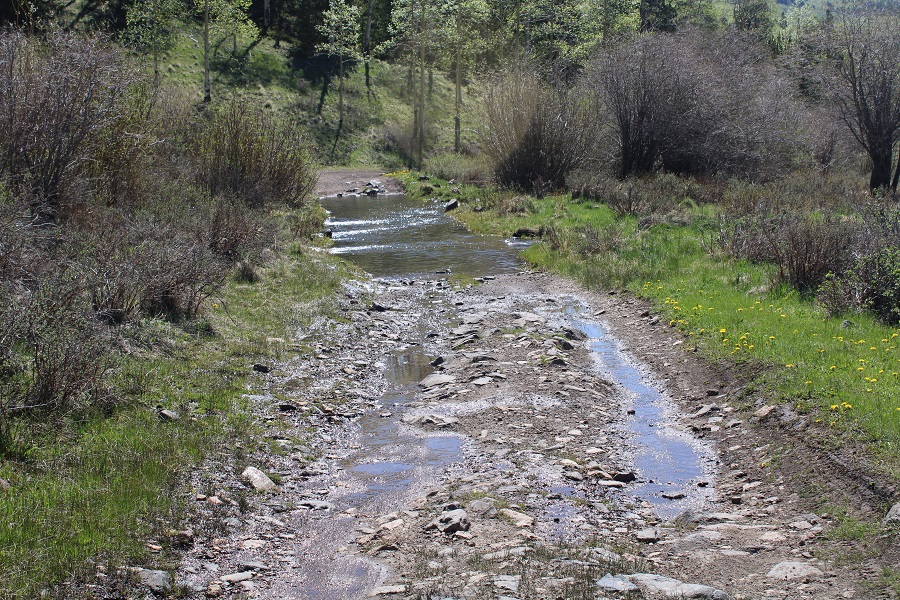
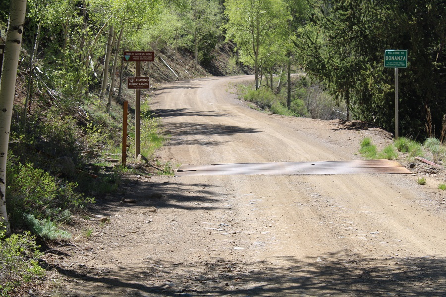
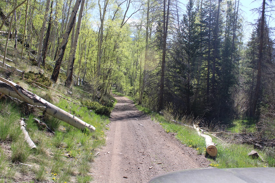
Boy, was that drive in fun!  I took LL56 to Bonanza, and then the 862 4WD road.  The road was clear to Bonanza, and then the fun began.  Notes about 862:  It’s narrow, making passing difficult.  It’s easy 4WD:  In fact, I didn’t put my truck into 4WD (because I couldn’t), but having decent ground clearance was nice.  The creek crossing looked more difficult than it was.  I’d say the water was 8-10 inches deep.

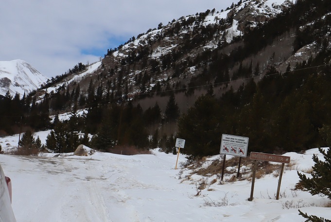
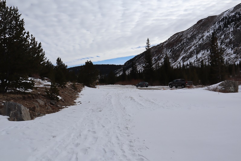
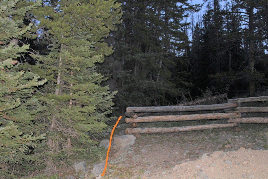
I parked at the junction of 862 and 8622D.  There’s a fence blocking off the road here, next to Kerber Creek.

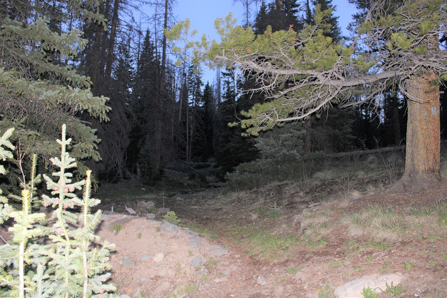
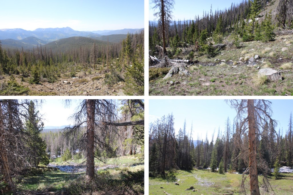
The trail starts just behind the fence, and follows an old 4WD road and Kerber Creek for .3 miles

At this point the road comes to a ‘T’, and since I made this a loop, I ended up coming back to this spot on my way down.  Now however, I turned left, and continued to follow the road south.

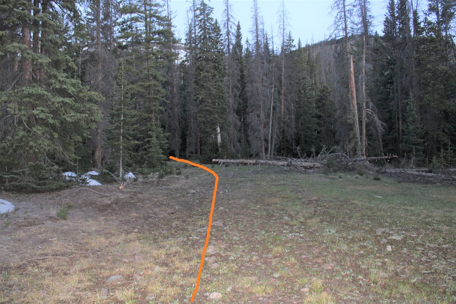
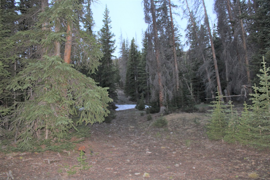
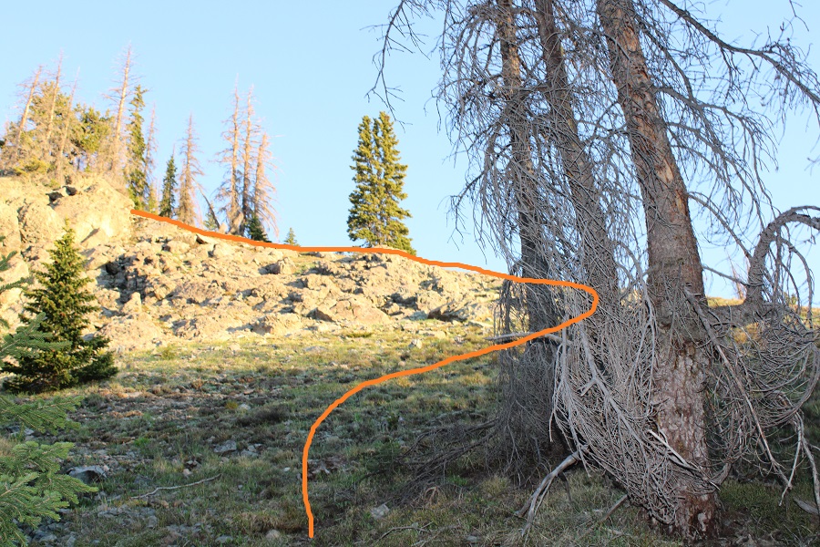
I stayed on this road for another .3 miles, and then left the road to head west and bushwhack up to the ridge.  As far as bushwhacking goes, it wasn’t too bad:  Not a lot of downed trees, so heading west and staying west was easy.

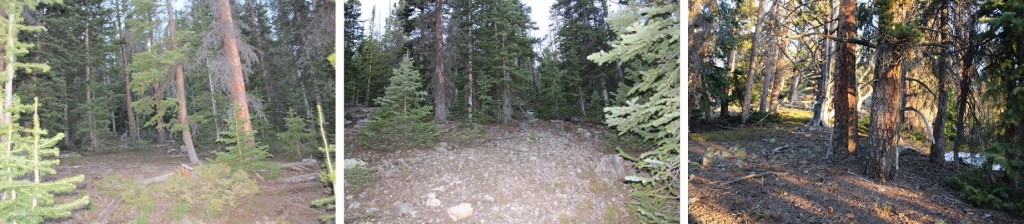
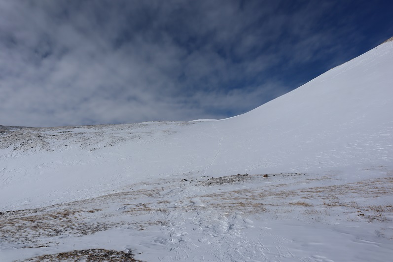
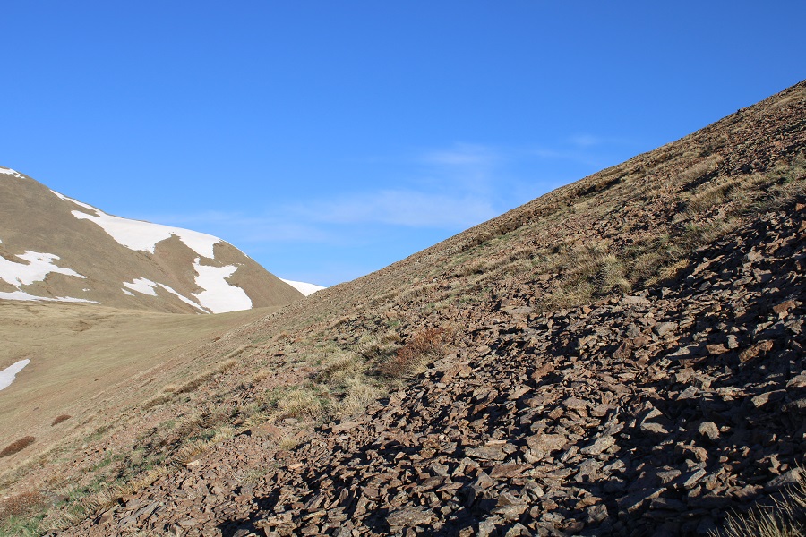
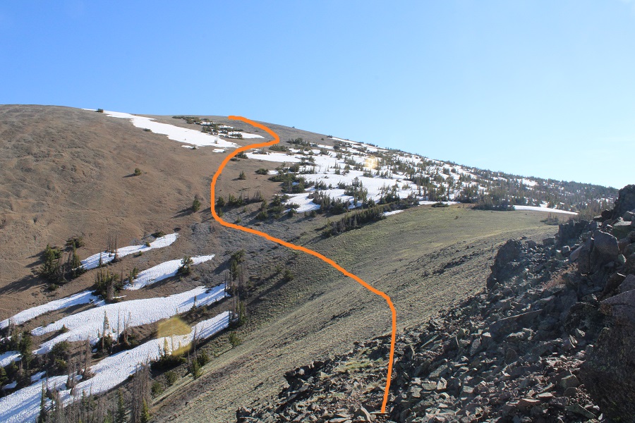
At treeline, there’s a rock outcropping to skirt to the right

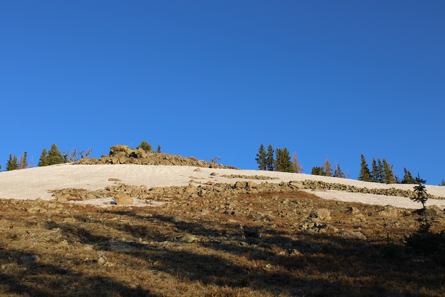
And then I followed the ridge northwest.                               

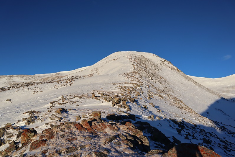
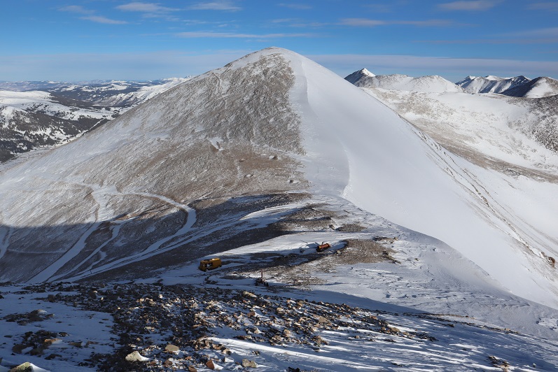
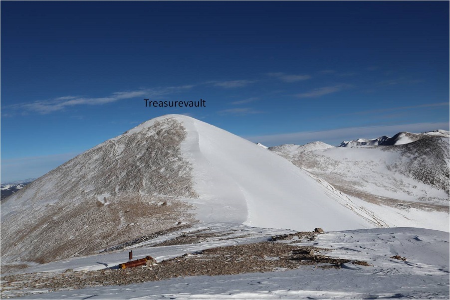
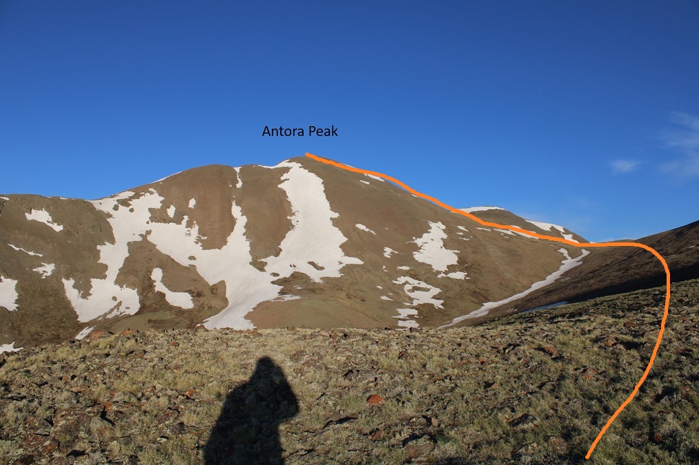
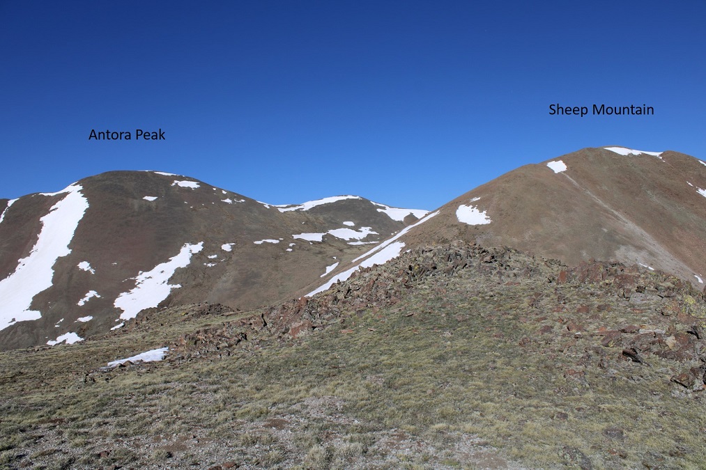
Once on the ridge I could see Antora Peak to my left

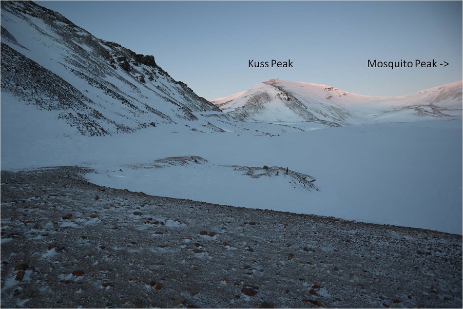
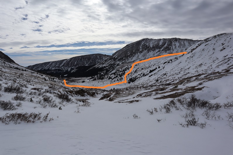
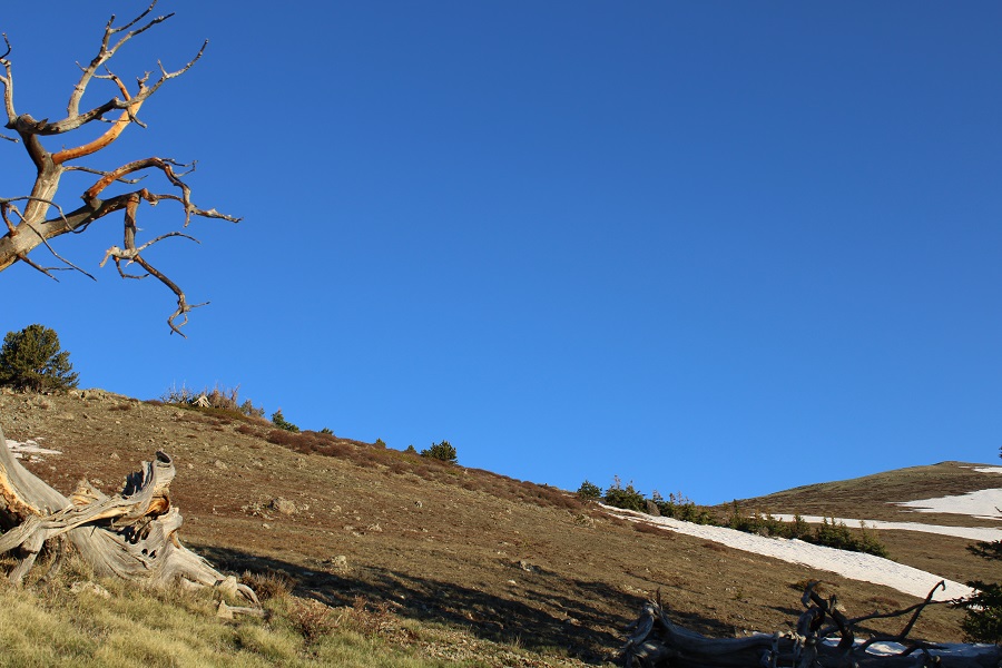
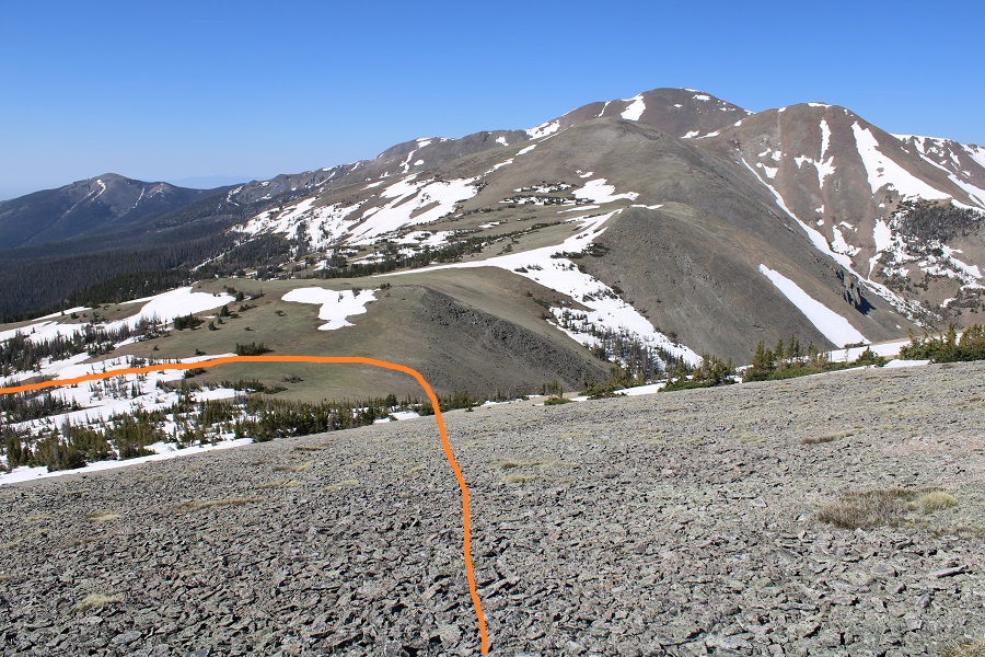
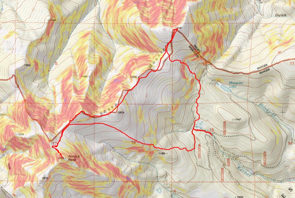
Here’s an overview of the rest of the route to the Antora Saddle.

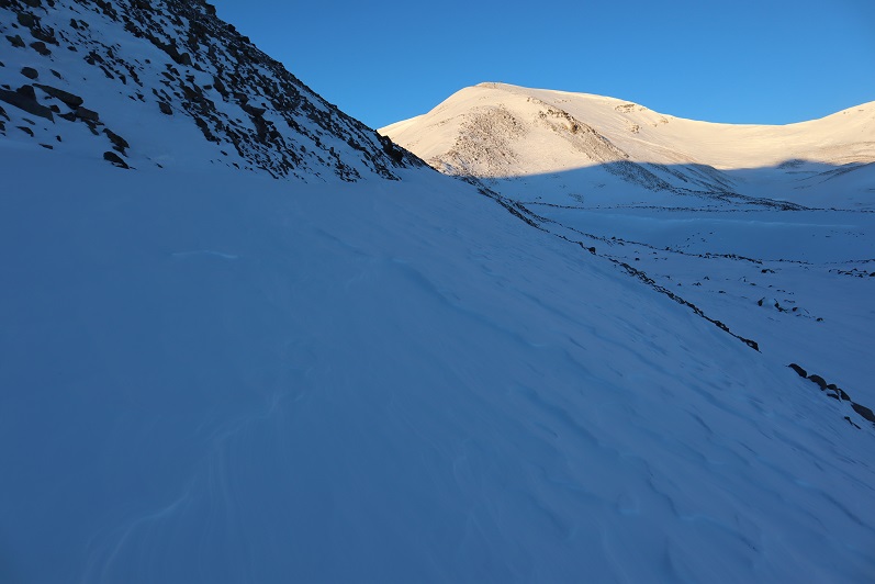
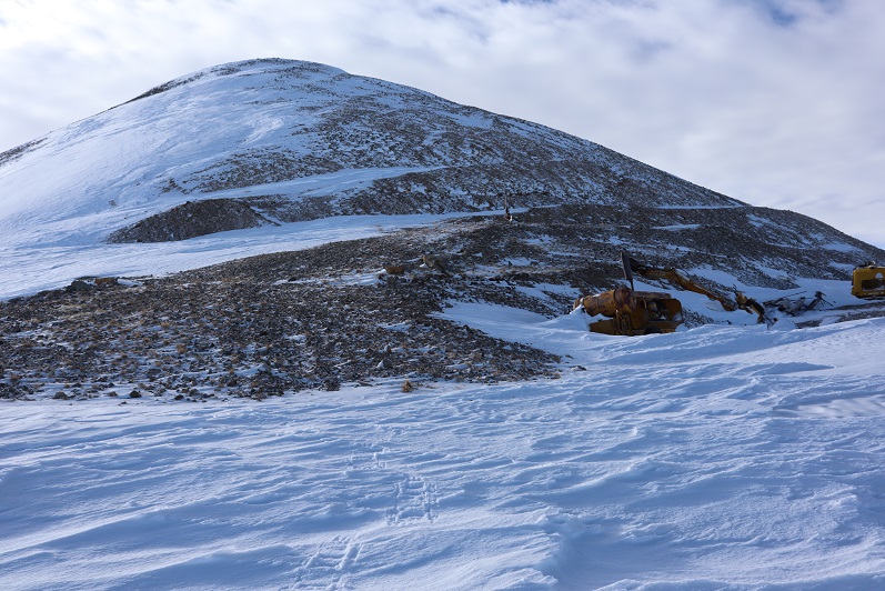
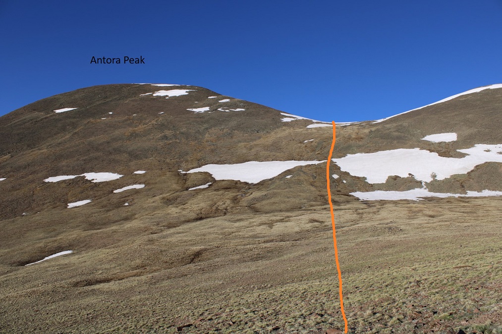
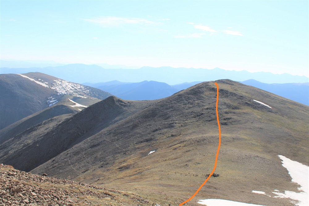
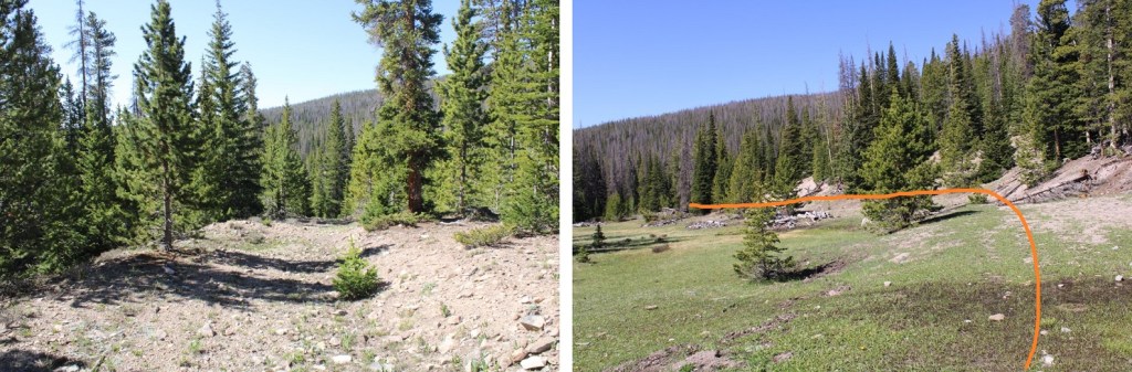
And some step by step pictures.  There is no need to ascend Sheep Mountain at this point, but instead skirt it to the left, staying parallel with the saddle.

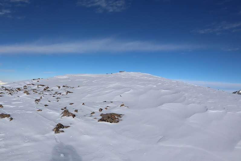
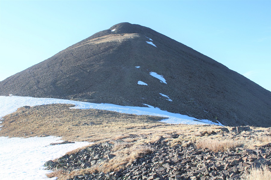
Once on the ridge I turned left and followed it southeast to the summit.  There were a bunch of game trails here, but I just went straight up the ridge.

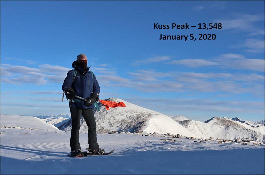
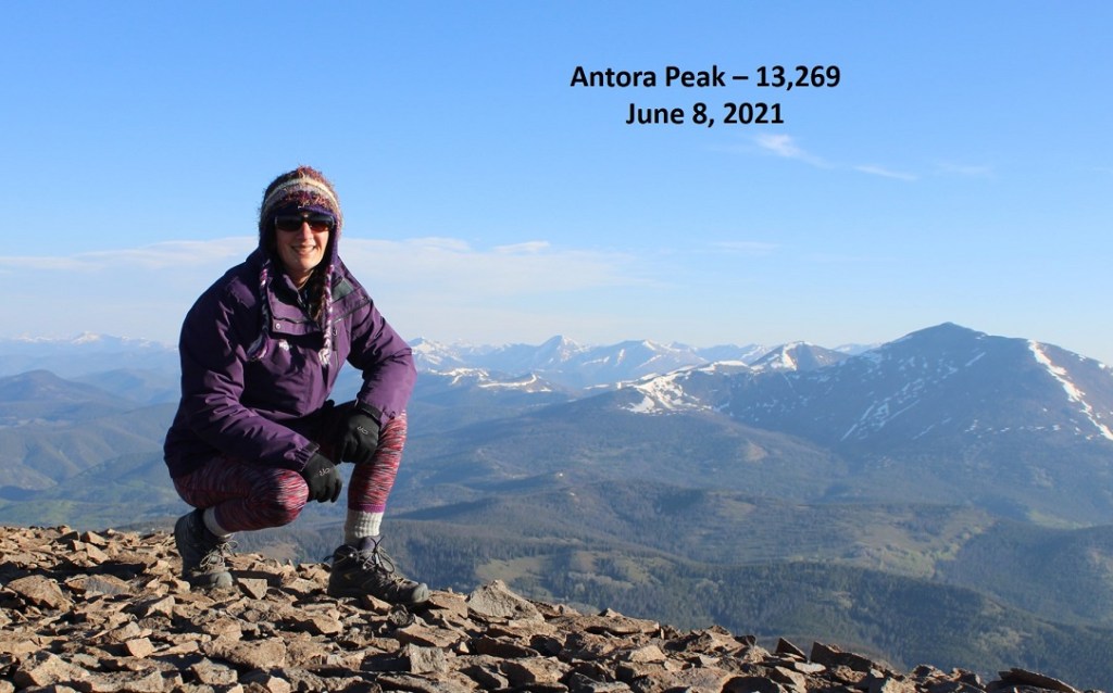
I summited Antora Peak at 7:15am

Not sure why I called it Sheep Mountain in the video:  Probably because that was what I was viewing and it was in my head.  Oh well, this video is actually the view from Antora Peak.

Antora Peak:

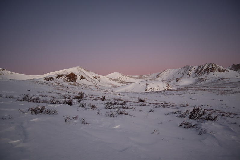
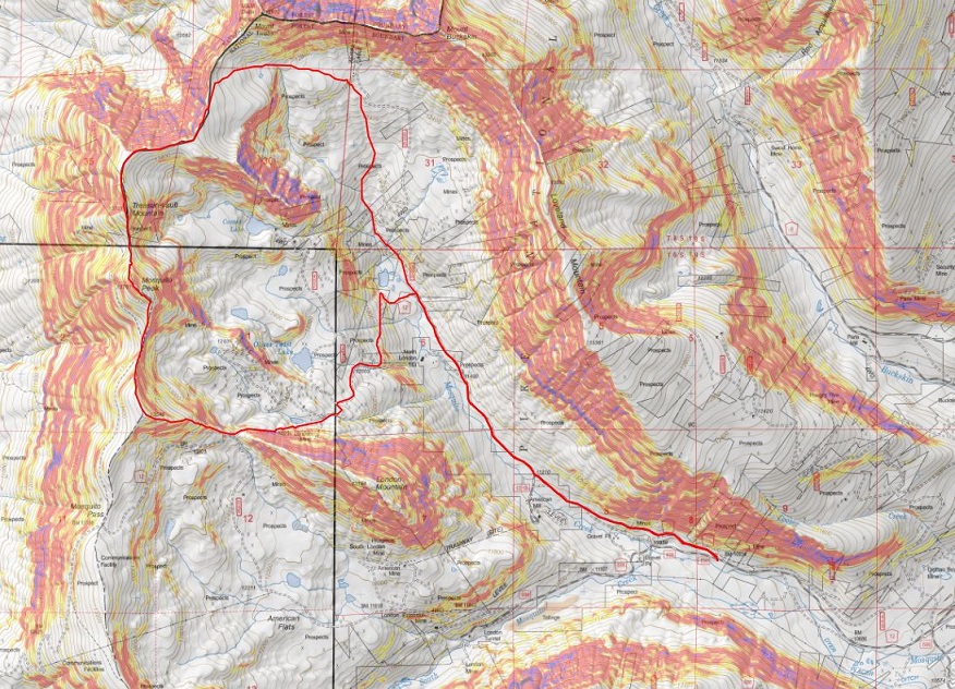
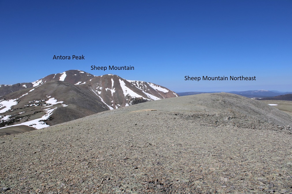
There are fires in the area, so it was a hazy day.  I was making this a loop, with Sheep Mountain and Sheep Mountain Northeast.

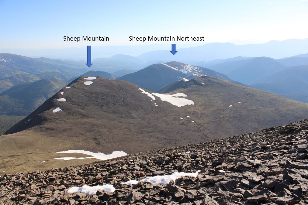
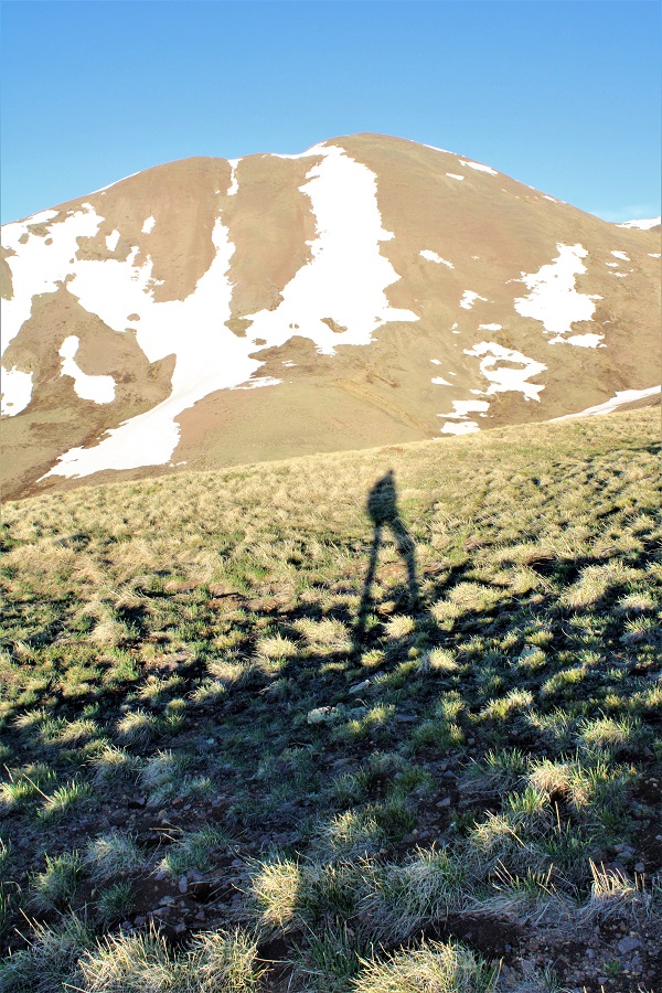
I headed back towards the Antora/Sheep saddle

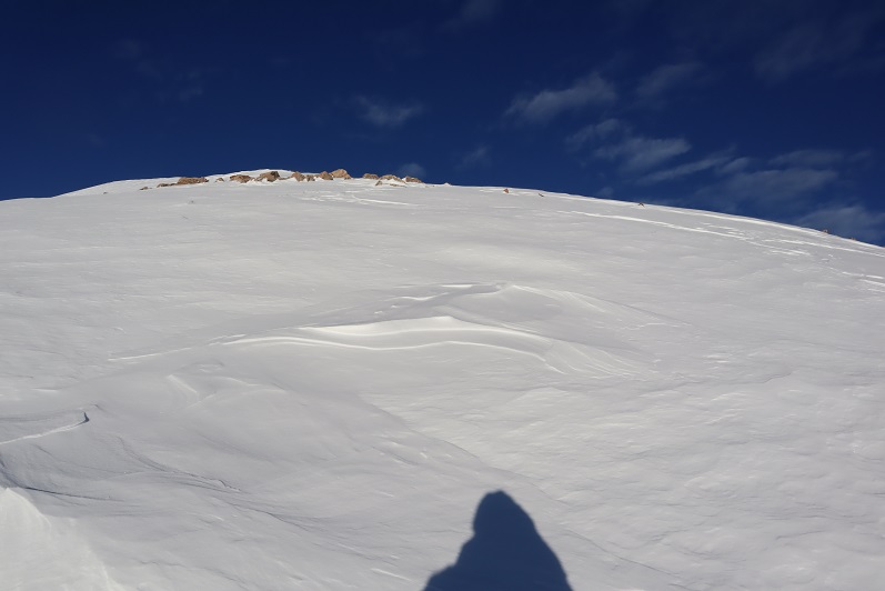
And then crossed the tundra and headed up Sheep Mountain.  I was glad it was still early and the water still (mostly) frozen on the tundra, otherwise this would have been a sloggy mess

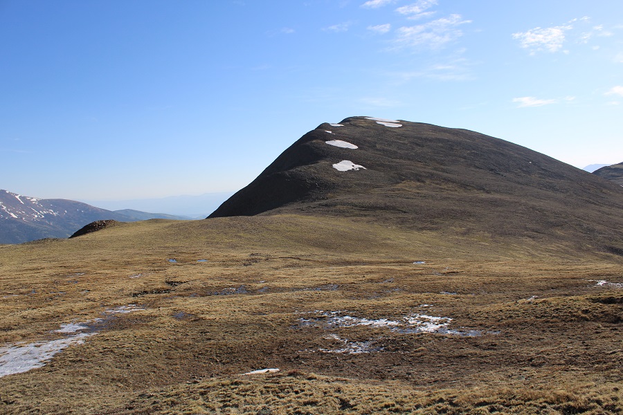
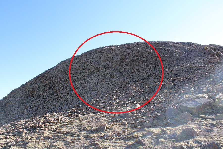
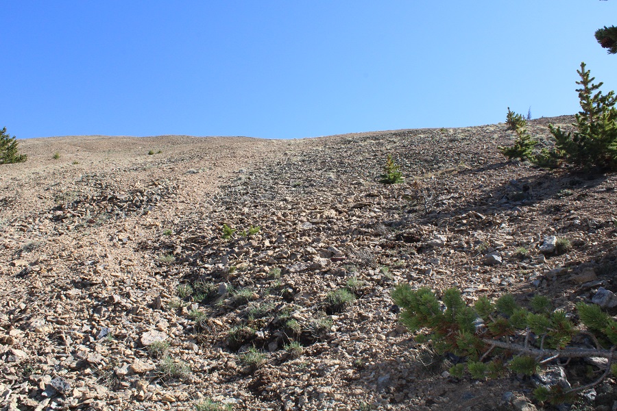
There’s a game trail that goes up the side of Sheep Mountain. It can be hard to see initially, but it’s useful in getting through the initial mound of loose rocks.

Then it was up and over the ridge

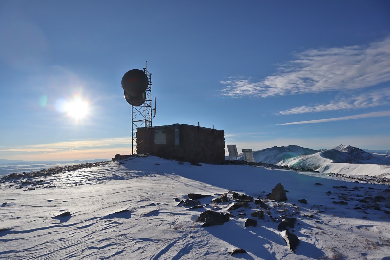
The summit had a great view of Mt Ouray to the north
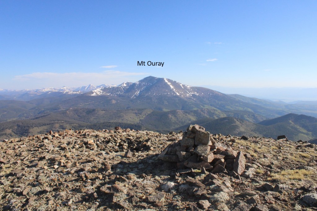
Sheep Mountain: 

Now to head over to Sheep Mountain Northeast

I hiked northeast, following the ridge

Here’s a look back at Antora Peak and Sheep Mountain

I was able to avoid most of the snow on the ridge towards Sheep Mountain Northeast.

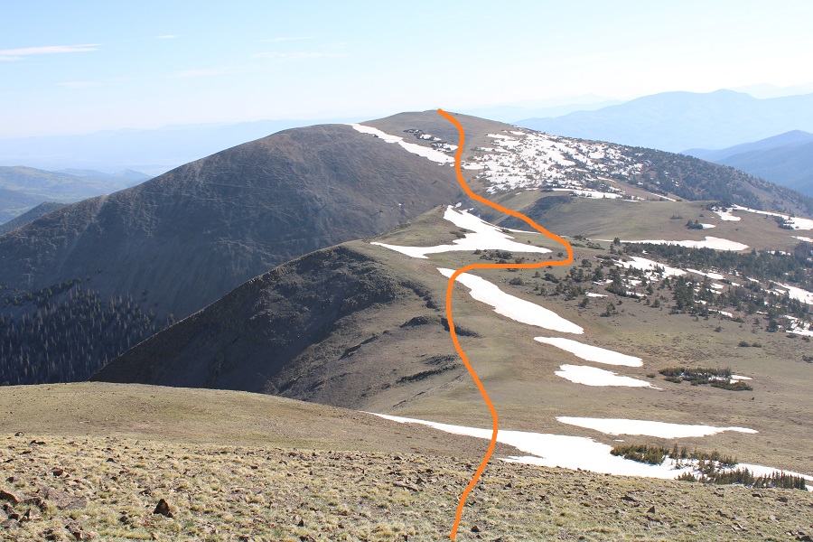
Just before the final ascent I skirted the mountain to the left, following game trails

And then continued northeast to the summit

I walked all over the summit, trying to find the highpoint.  It looks like it’s further east than it really is (the first cairn you come to is the actual summit).  Here’s looking back at the route

To make this a loop, I hiked a third of a mile southwest, then cut across the tundra, heading east

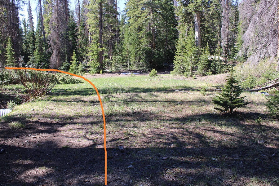
This led me to a gully.  From here I could see Mosquito Lake.  I didn’t want to go to the lake, I wanted to find the trail that led back to the 4WD road.  Here’s the basic route:

I followed the gully down, crossed some small runoff streams, and kept heading south, looking for a trail. 

I actually found a trail, but kept losing and finding it again.  It hasn’t been used frequently in years, and there are a lot of game trails here.  I’m pretty sure it’s a ranching area as well.  At one time it looked like the trails were maintained:  they may even have been roads, but now they’re a mess.  I knew I was on the right track however, because I kept seeing tree stumps from sawed trees.

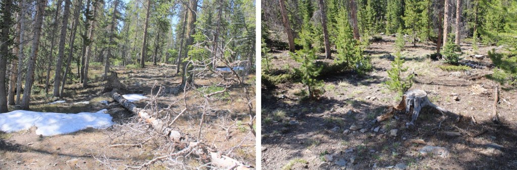
Continuing south, I eventually made it to the old road

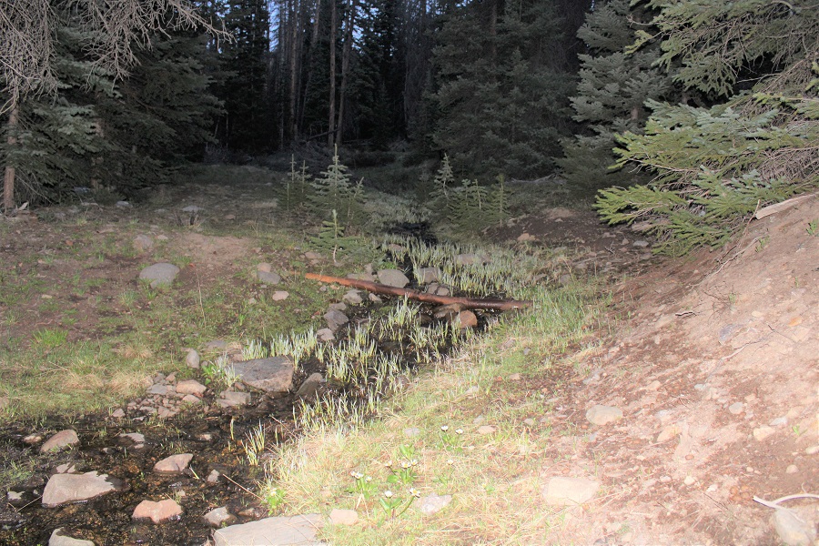
This road led me back to the junction from earlier this morning.  I turned left onto 862 (no signage) and hiked the short distance back to my truck. This area is full of nice irrigation channels.

I made it back to my truck at 10am, making this an 8.53 mile hike with 3562’ of elevation gain in 4.5 hours. 

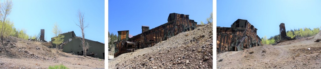
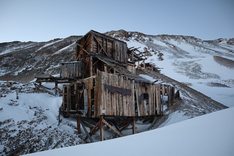
Now to drive out in the daylight.  Luckily, it was a Tuesday and I didn’t expect to encounter any other vehicles on the road.  I didn’t.  The Bonanza Mine was pretty cool.

Kuss Mountain (UR) – 13,560, Mosquito Peak – 13,787, & Treasurevault Mountain (UR) 13,706

1

RT Length: 12 miles

Elevation Gain: 3409’

Time: 6.5 hours


I’ve been excited to head to the Mosquito Creek/Pass area since I was here last month. I’d avoided the area in the winter in years past, thinking it would be closed, but the 2WD dirt road in is actually plowed quite a ways.


2


In fact, it’s plowed at least past the turnoff to Mosquito Pass, which is where I parked.


3


I started on the trail at 5:30am, wearing my snowshoes. I kept them on all day even though they were overkill at times.  The 4WD road was impassible in a vehicle, with the conditions ranging from bare dirt to ice and drifts with several feet of snow.


4


I followed the road, making fresh tracks as I went


5


Passing the London Mill


6


And hiking along the road for a few more yards until I reached the junction of 12 and 856. Here I turned left (west) and followed the snow covered dirt road


7


8


The road was covered in drifted snow and difficult to walk in, even with snowshoes. Around this time the ptarmigans began to wake up and the sun started to rise.  I could see the white birds flying against the pink landscape and thought to myself how lucky I was to be here right now.


9


I continued following the road around London Mountain towards the North London Mine


10


11


12

From the mine is where things got a bit tricky, as the road I was supposed to take was covered in snow.


13

It didn’t start out difficult, but about a quarter of the way to the London/Kuss saddle I switched my trekking pole for my ice axe. The path felt similar to the alleyway on Kit Carson and I was glad I was wearing my snowshoes:  a lot of the snow was consolidated but every few steps I’d sink up to my knees in an unexpected drift.


14


15


I breathed a sigh of relief when I finally made it to the saddle. From here it was a straightforward hike up the ridge.


16


I kept my snowshoes on, and they became helpful towards the end


17


Cool findings at the top


18


Also, it was windy


19


Making this a loop, next I was headed for Mosquito Peak. There were cornices the entire way, but sticking to the ridge it was easy to avoid any danger.  Snowshoes here were overkill but I was too lazy to take them off.


20


Looking back up at Kuss Peak


21


And up the ridge to Mosquito Peak


22


Snowshoes were helpful once again for the final push to the summit


23


24


Summit photo


25


I was anxious to finish this ridge loop before the wind picked up this afternoon so I didn’t stay long on the summit of Mosquito Peak. I turned towards Treasurevault Mountain and immediately slipped on the soft scree/snow mix, landing on my knee.  Wonderful.  I could tell before I even hit the ground it was going to hurt, but picked myself up right away and headed down the side of the mountain, more careful now, realizing the snow was sugary atop loose scree and talus.


26


At the Mosquito/Treasurevault saddle I saw a bunch of mining equipment, which I thought was pretty neat for 13K+.


27


Here’s looking back up at the scree/snow that is the ridge down from Mosquito Peak


28


And a look up the ridge to Treasurevault Mountain. All three of these peaks had similar ridges to their summits.  Snowshoes were nice.


29


30


There weren’t any rocks to set up my camera on and my trekking pole was tied to my backpack so I just set it up on the snow for a picture. Not the best, but it gets the point across.


31


Completing the loop turned into a really long ridge hike from Treasurevault over to Mt Tweto, which felt more like 2 ridge hikes


32


The cornices were fun to look at along the way


33


Just before the saddle with Mt Tweto the wind really began to pick up. I’d considered re-summiting Mt Tweto again today, but with the increased winds thought it would be best to just head back.  I’m kind of kicking myself for that decision now…


34


There was a lot less snow here today than there had been last month. Here’s the route back into the basin


35


36


And back up towards the saddle for Mt Tweto


37


Hiking out of the basin I aimed for the trail I’d hiked on the way in, making this upper part a loop


38


The snow here was sugary and I kept sinking to my knees while wearing snowshoes. Here’s another view of the route I’d taken up to the London Mine.  On my way out I was just headed back towards the road, as all the 4WD roads in the area were covered with snow and I couldn’t find them.


39


Here’s a look back at my trek out of the basin


40


I followed the snow packed 4WD road back out


41


And just before making it to the road noticed a recent (and small) avalanche slide.


42


I made it back to my truck at noon, just as it was starting to get really gloomy out. It felt like snow was approaching.


43


This was a really fun and easy winter hike. I look forward to exploring more of the area this winter, but will most likely do so from the South London Mine side next time.


44