
RT Length: 4.74 miles
Elevation Gain: 2212’
I started from the Argentine Pass Trailhead at 5am. The 214 road in was easy 4WD, with a lot of small potholes, so I took it slow. There’s room for several vehicles at the trailhead.

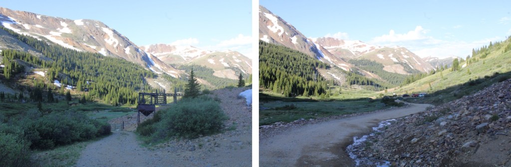
I continued following 214 northeast (the road parallels Peru Creek) and quickly came to a gate and Shoe Basin mine.

I passed the gate, and continued along the road.

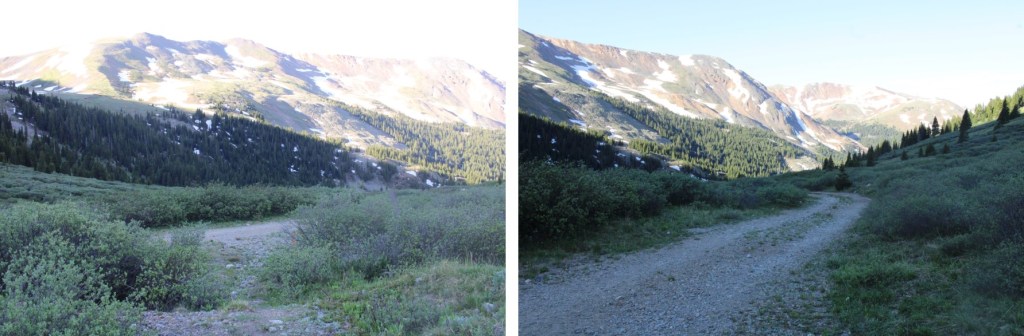
After hiking for about half a mile I turned left onto what used to be a road, but is now more of a trail.

I continued following the trail until I came to a junction. Going left will take you to the Peruvian Mine, and going left will take you to the Paymaster Mine. I turned right, and continued following the road.
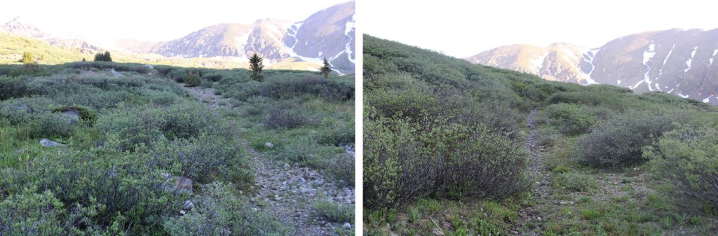
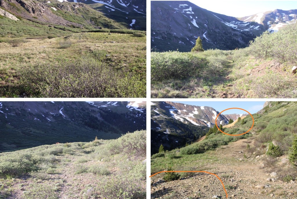
The trail became overgrown with willows but was still easy to follow
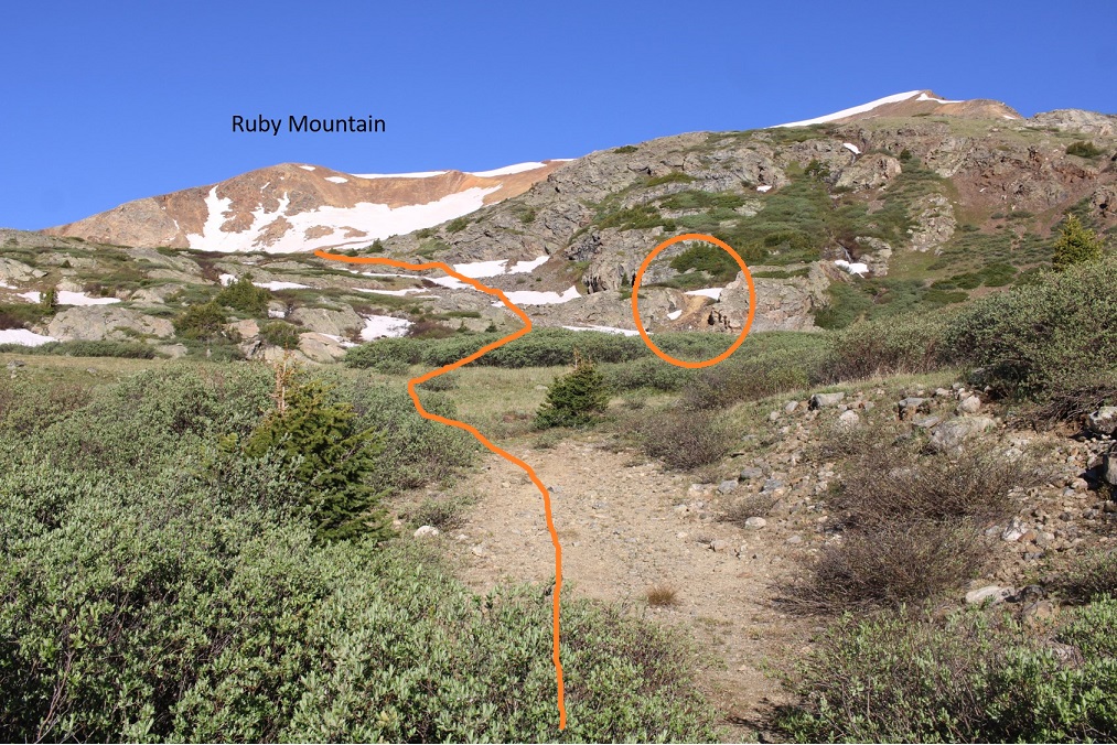
I now had a pretty good overview of the route into the upper basin. The Paymaster mine is circled.
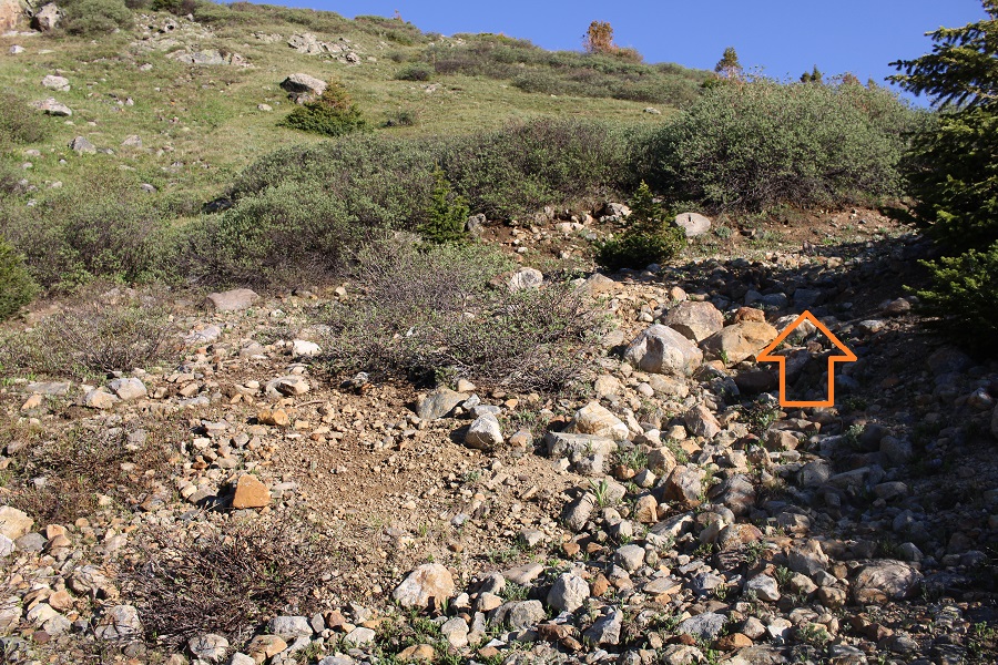
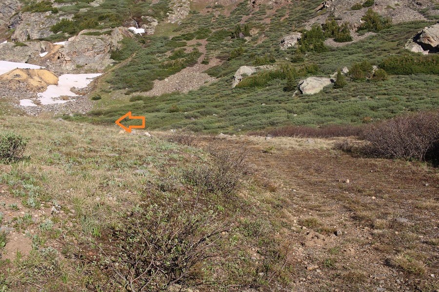
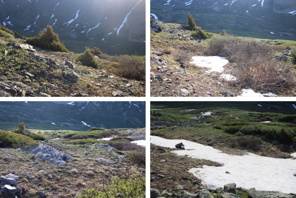
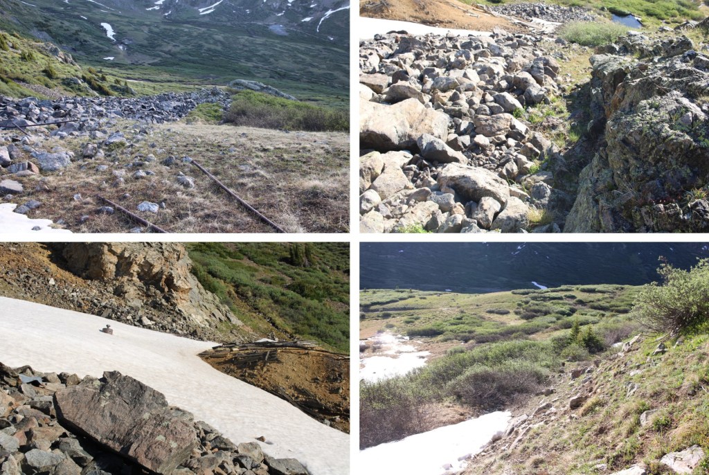
And some step-by-step pictures along the way. There is a cairn marking where you leave the trail. The willows here are pretty thick, but only lasts for 20 feet or so.

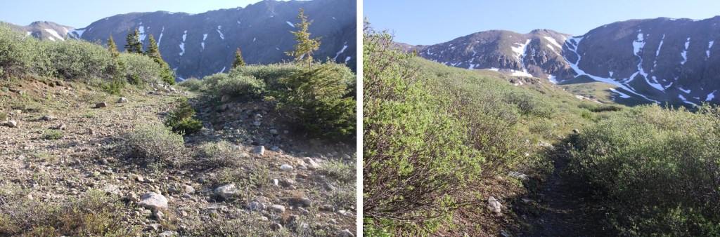
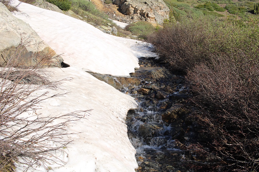
There was still melting snow and water on this part of the trail
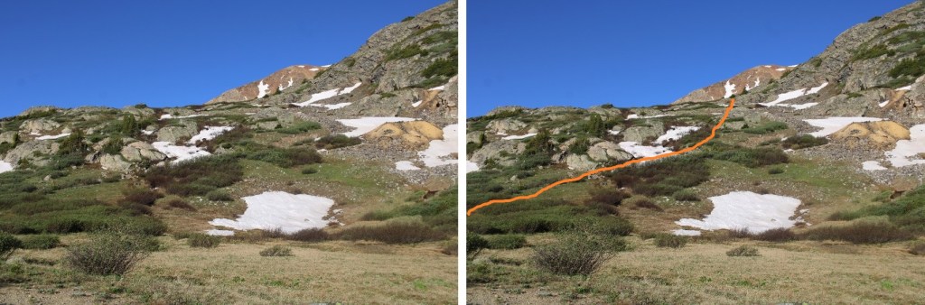
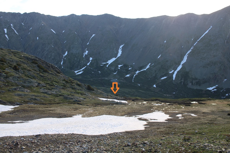
Just before making it to the mine, I turned left and climbed up the hill. The route was obvious.


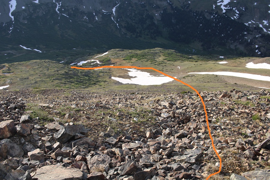
Now in the upper basin, the route seemed obvious to me. I was going to take the snow free slope to the ridge.
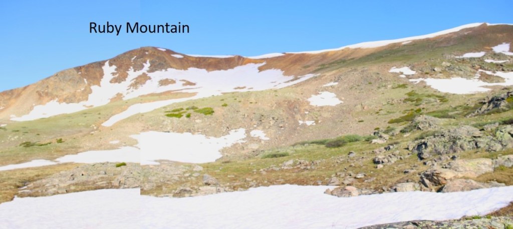

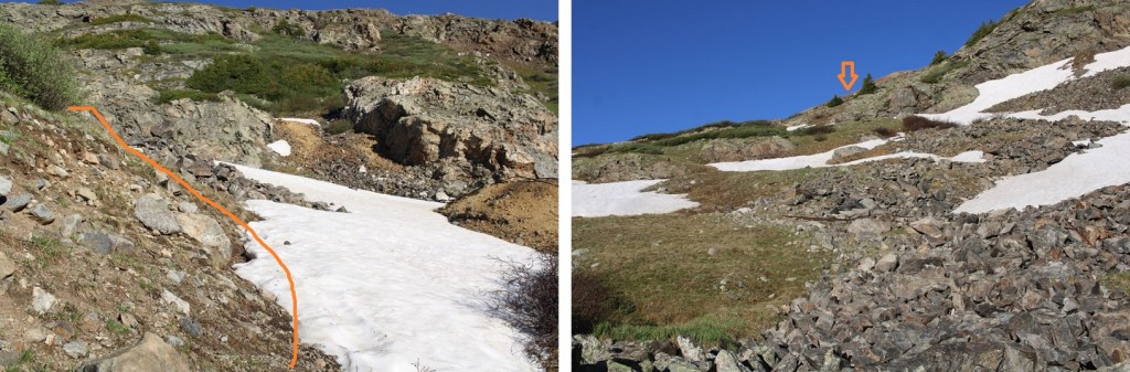
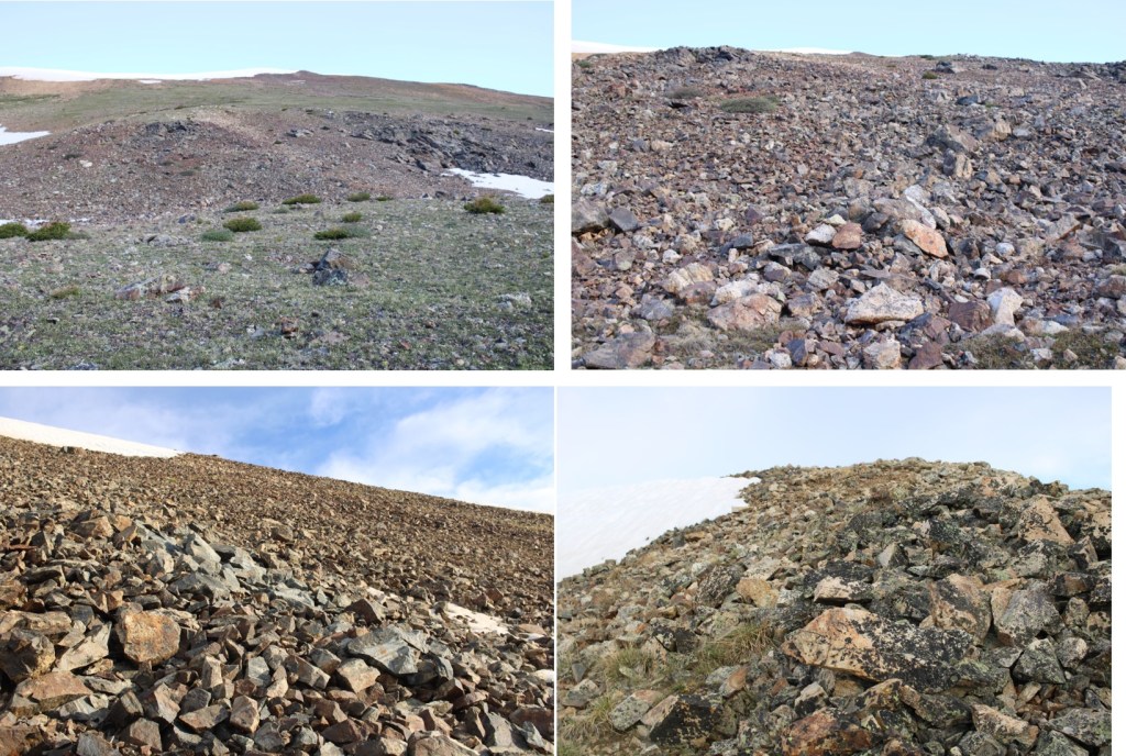
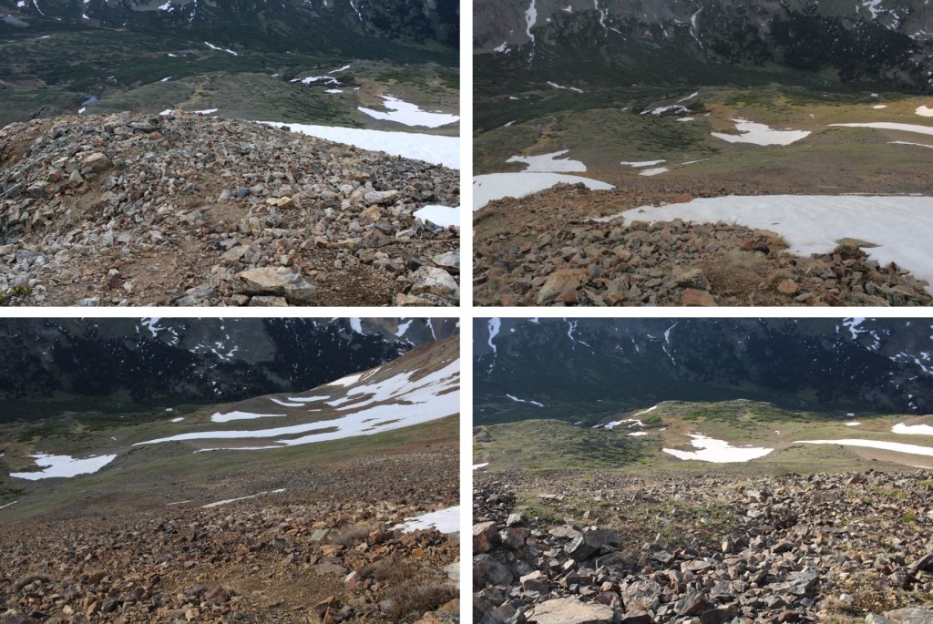
This was all class 2. Here are some step-by-step pictures of the route I took to the ridge

The tundra quickly turned to talus, but was all class 2 and easy to navigate.
Once gaining the ridge, I turned left and followed the ridge southwest to the summit. This was an easy tundra stroll


I summited Ruby Mountain at 6:30am

Ruby Mountain:
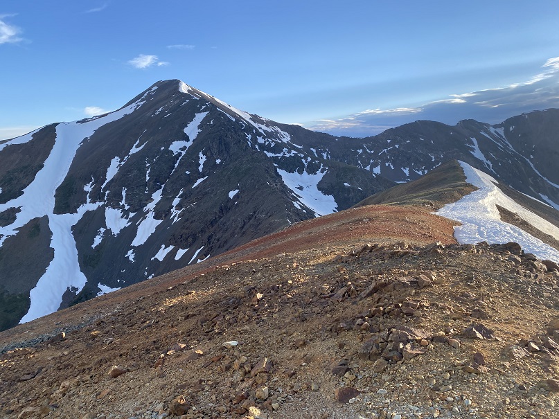
Here’s a view of Gray’s Peak from the summit of Ruby Mountain
It was a windy day on the summit, so I turned around and headed back the way I came. Also, beware of the cornices… there’s plenty of tundra to walk on, so use that.
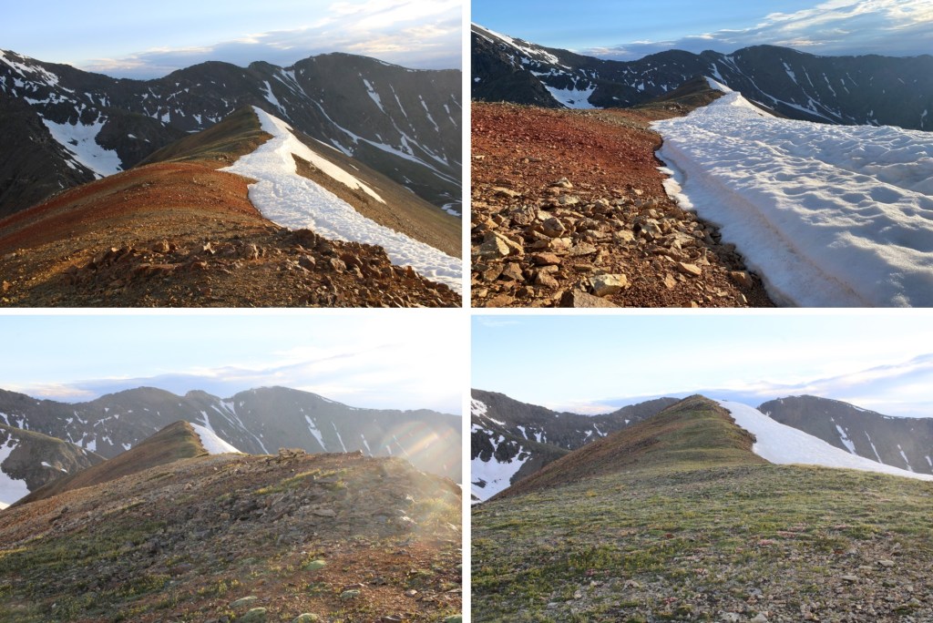
Here are some pictures of the descent route back to the basin
Back in the basin, I turned left and headed northeast towards the Paymaster mine and back to the road

I followed the road back towards the Peruvian mine (circled), turned left, and followed it back to 214.

Then I followed the road back to the trailhead
I made it back to the trailhead at 7:45am, making this a 4.74 mile hike with 2212’ of elevation gain in 2 hours, 45 minutes.

On to the next trailhead!
