RT Length: 16.82 miles
Elevation Gain: 4261’
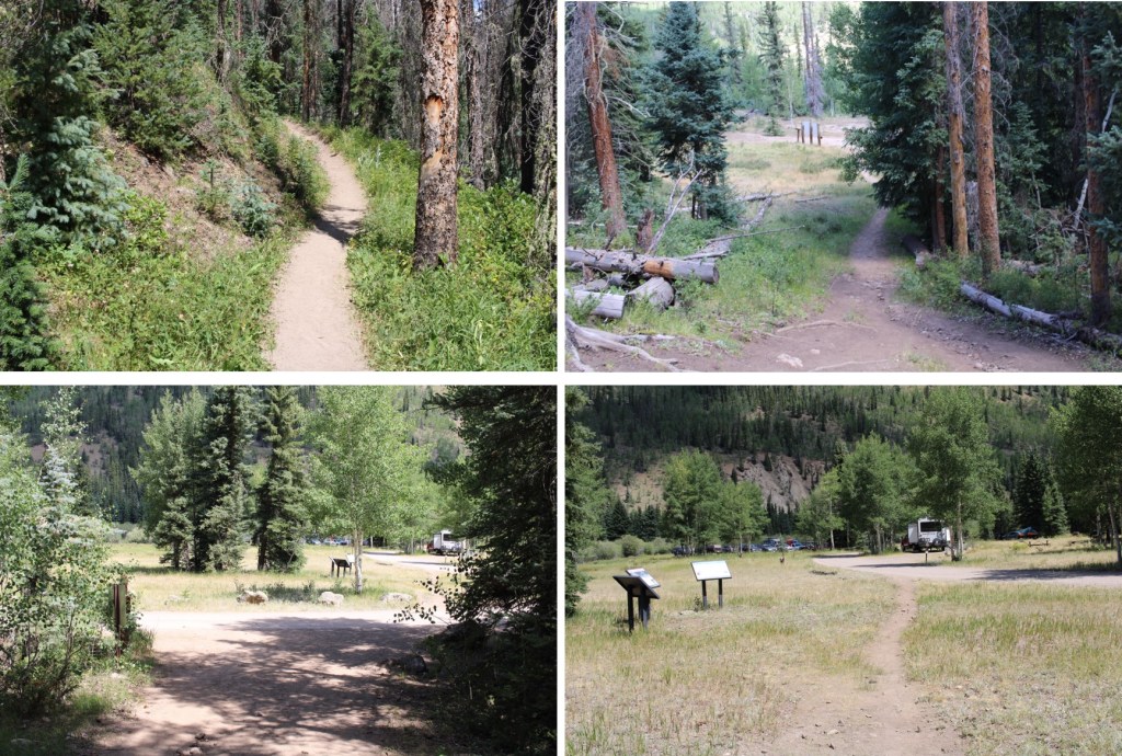
I arrived at Thirtymile Campground the night before, and slept in my truck at the hiker trailhead. Knowing this was going to be a hot day I wanted to start early. I was on the trail at 3:30am. The trail starts to the south of the parking area, and if you get there in the dark it can be difficult to locate.
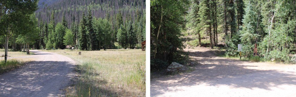
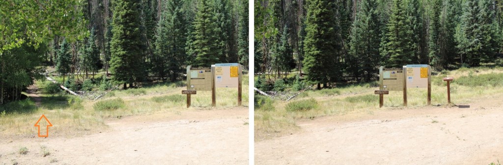
There is a register and information board at the true trailhead. There are two trails here, I took the one that goes to the left, the Squaw Creek Trail
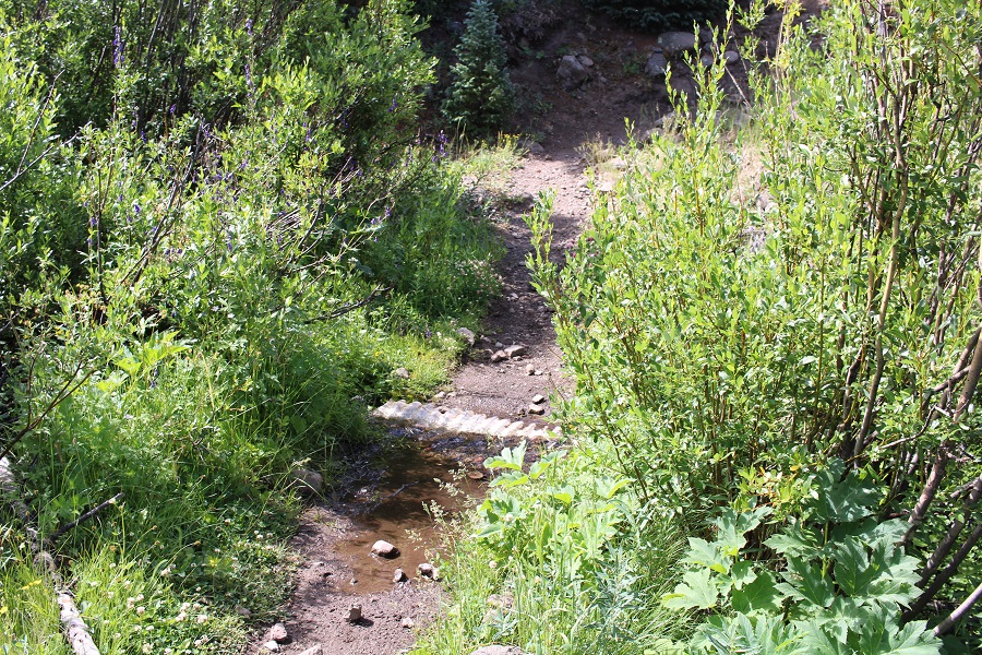
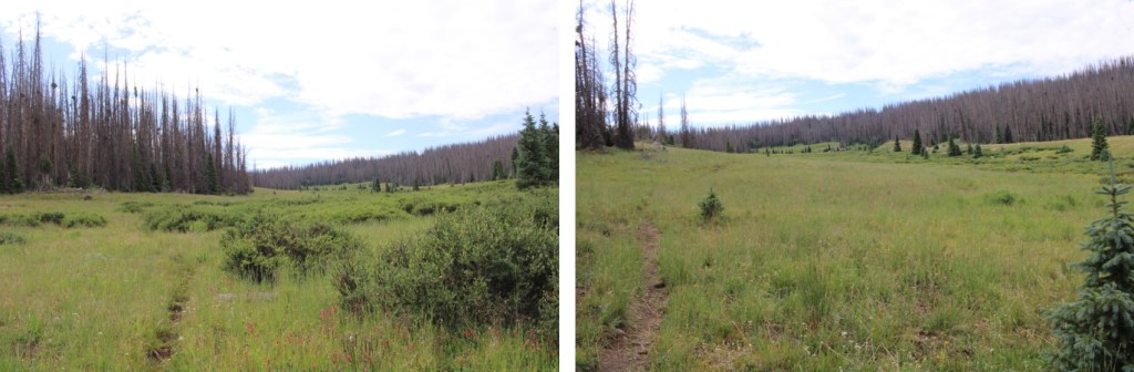
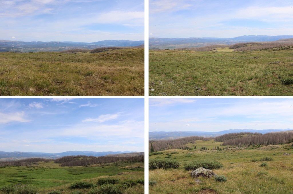
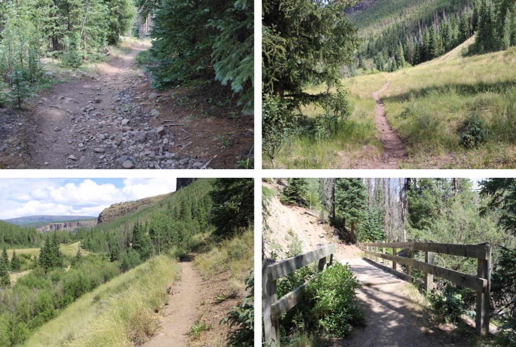
This is an easy to follow, class 1 trail. I followed this trail, over a bridge crossing Squaw Creek, and paralleling Squaw Creek itself, for 2.3 miles. This trail has a lot of ups and downs, which wasn’t bad at the beginning of my hike, but made the hike out in the sun miserable. Here are some pictures of the trail


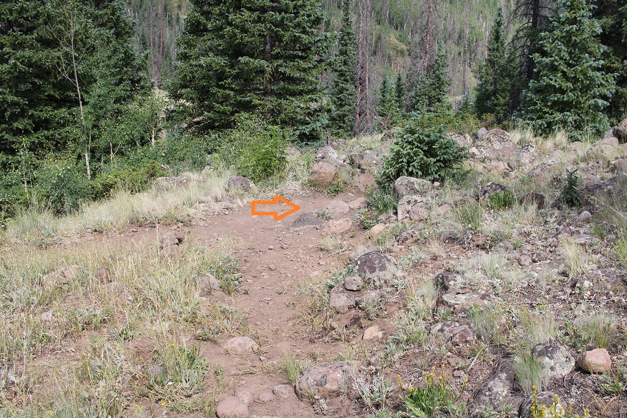
After hiking for 2.3 miles, I crossed a drainage pipe, and about 50 feet to my left was another trail (difficult to see in the dark). There used to be a cairn here, but someone tipped it over.

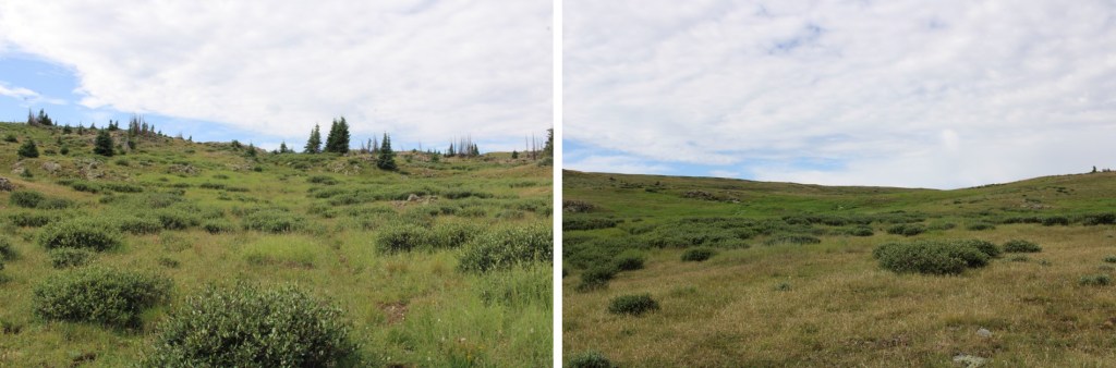
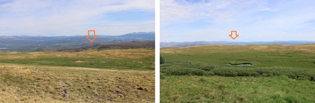
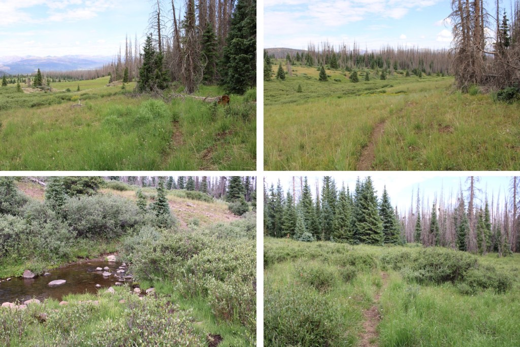
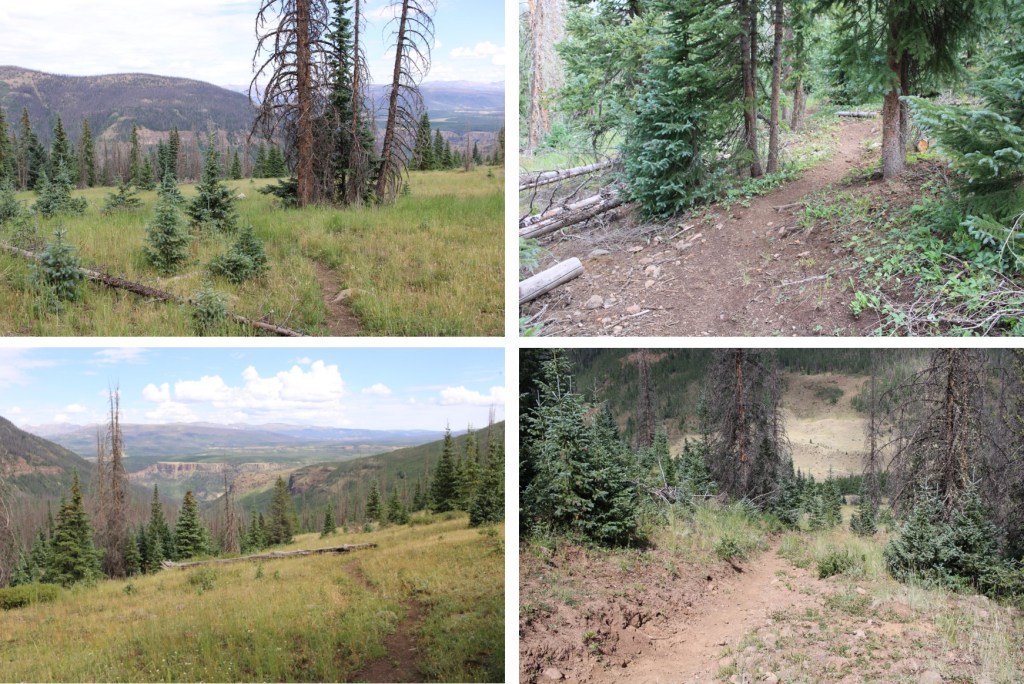
Now on the Fern Creek Trail, I followed it southeast towards treeline. This was still a class 1 trail, and easy to follow.

I crossed a creek, and continued on through a rather large gulch. The trail begins to fade here, but as long as you stay to the left of the willows, you should be able to find a trail. In the early morning hours I saw a mama moose with her baby munching on the willows.


As soon as I was truly above treeline (which felt like forever) the trail ended. With no real landmarks to work with, I headed south. I saw a ton of elk in this area, and would for the rest of the hike. I’d estimate I saw about 200, ranging in groups from 5 to 30 at a time.
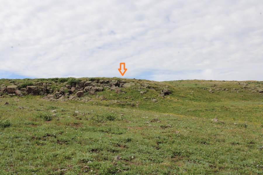
I kept heading south, still with no visual landmarks, and eventually came to a marshy area and a hill to ascend. This was muddy and wet, and choose your own adventure. I navigated the willows and made it to the top of this hill/
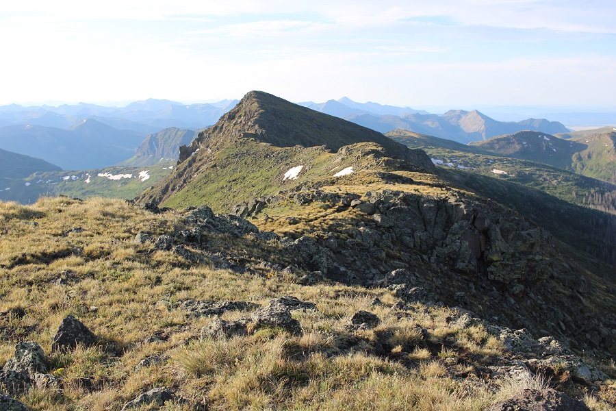
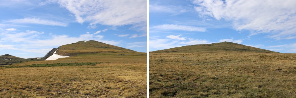
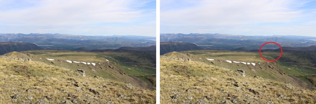
From here I got my first good view of Chief Mountain. I’ll save you the heartache I had when I found out this was the actual peak

The good news was now I had a good visual of where I was headed. I continued south, towards the obvious ridge.
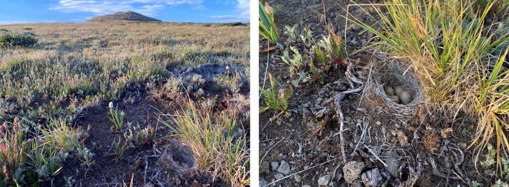
This was an easy tundra stroll, but be careful: Just as you don’t want to step on wildflowers while hiking on the tundra, you also need to be careful of other things on the ground. Like bird nests
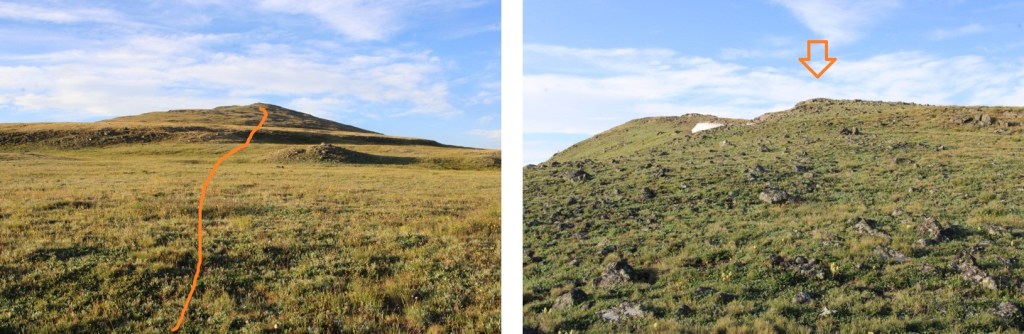
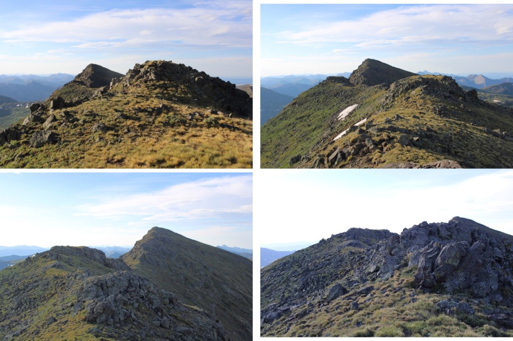
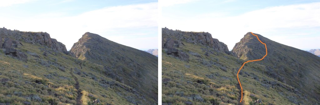
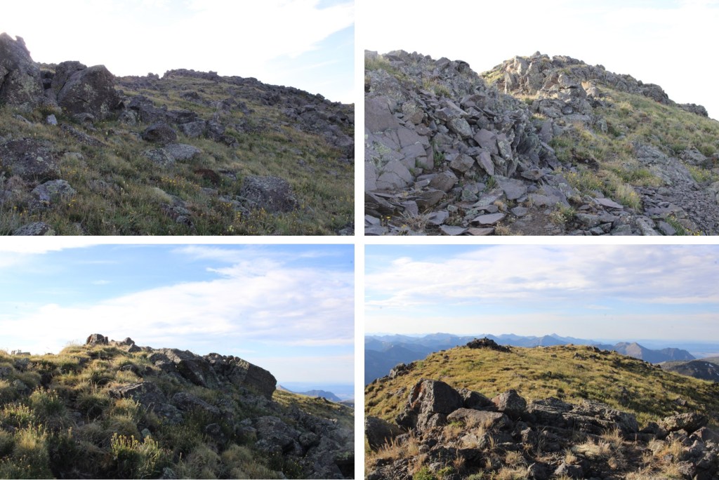
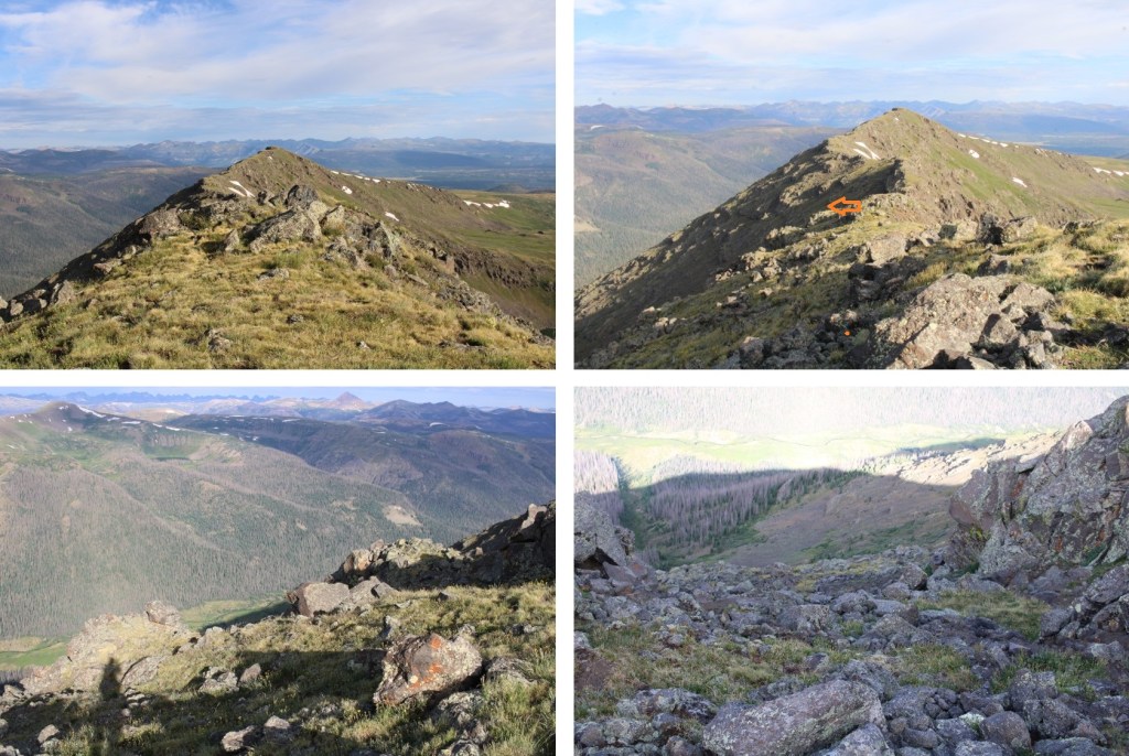
I made it to the top of what looked like the summit, only to find another summit further to the south. It was an easy ridge hike to that next point.

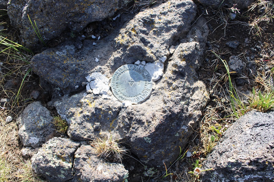
I made it to the top of this point, and even though there was a cairn at the top and a summit marker, I discovered it was a false summit. This is the actual summit of Chief Mountain.
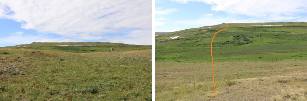
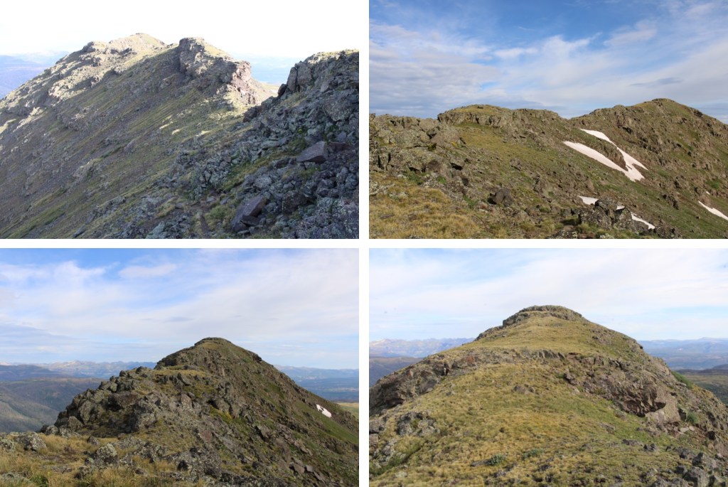
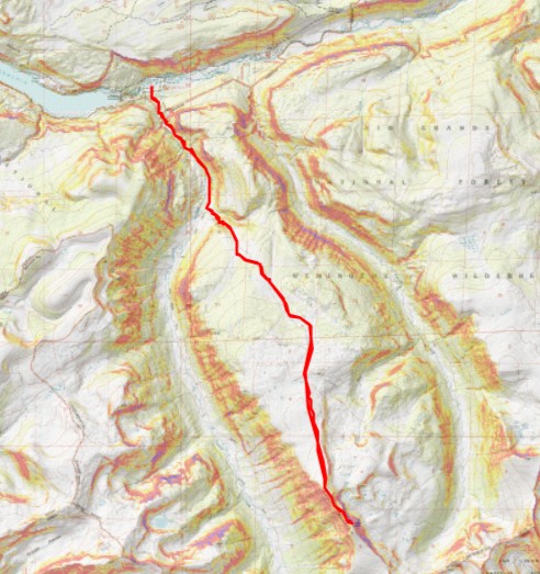
No worries though, the entire route is class 2. There are solid game trails to take for most of it. Here’s the overall route I took.
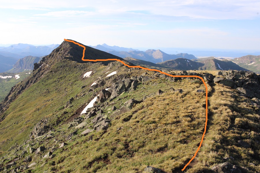
I started out by heading straight along the ridge, and took the obvious game trails when I saw them. They were filled with tracks from all the elk I’d seen earlier.
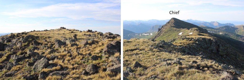
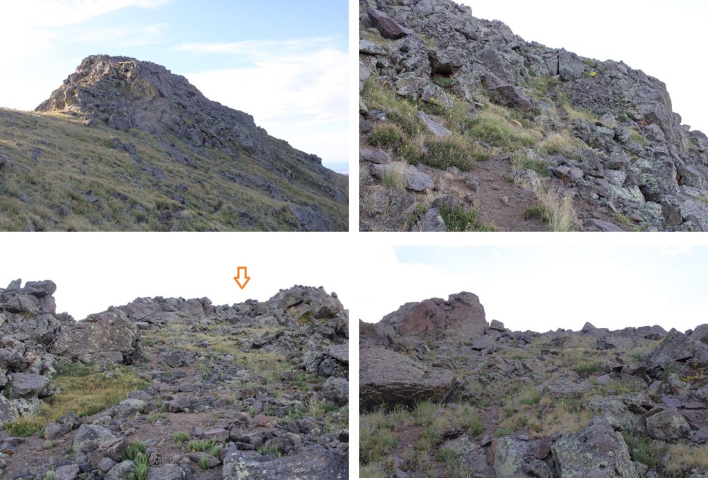
Here’s the final push to the actual summit. There’s a good trail here, and several options for an ascent route. There are at least 3 different class 2 what I could only call minor gullies that go to the summit. Choose your favorite and have at it.
At the top I turned right, and headed southeast to the summit
There was a summit marker here as well
I summited Chief Mountain at 7:50am
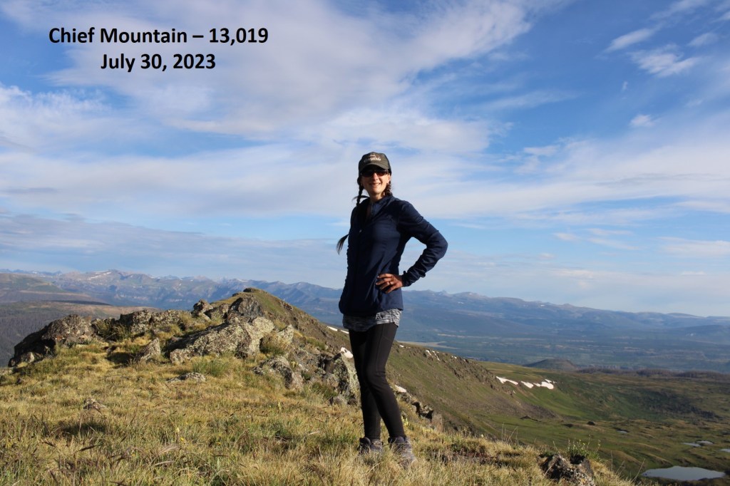
Chief Mountain:
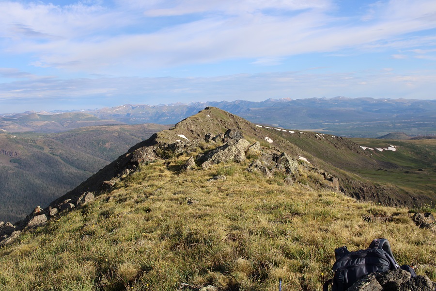
Looking back at that last point on the ridge, it looked very similar in elevation to where I was now.
Time to head back. I descended to the west, heading back to the game trail
Then followed the game trail back to the ridge
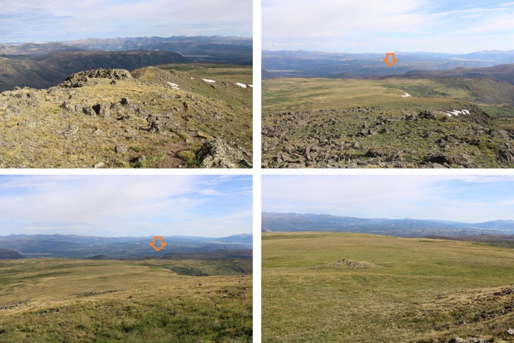
From here, it’s really important to get a visual of where you’re headed. Sure, you’re going to head north on the tundra, but look for a meadow in the distance, surrounded by trees, and keep aiming there. It will help keep you from getting off route.
I saw more elk on my way down. They had been enjoying themselves on the little patch of snow when they were alerted to my presence, and ran away.
Elk:
Now to trudge through the marshy-willow area
And head back to the Fern Creek Trail
Now the Fern Creek trail should be easy to follow, back to the Squaw Creek Trail
I turned right at the Squaw Creek Trail, and followed it back to the trailhead.
I made it back to my truck at 11:30am, making this a 16.82 mile hike with 4261’ of elevation gain in 8 hours.
On to the next trailhead!
