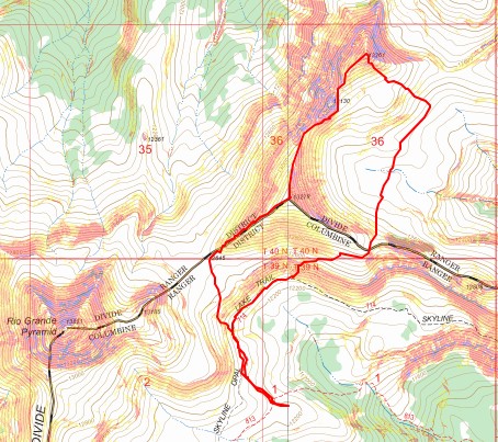
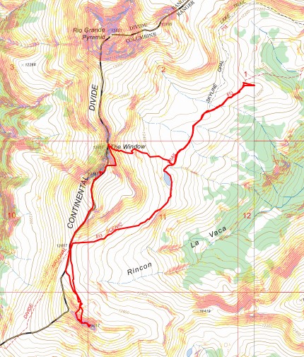
RT Length (from basecamp): 1471’
Elevation Gain (from basecamp): 6.88 miles
Note: there’s a long approach for these peaks, so I decided to make this a backpacking trip. I found a great basecamp for the Rio Grande Pyramid 13ers (and others). The approach is about 10 miles and 3100’ of elevation gain, coming from Thirtymile Campground. The approach can be found here.
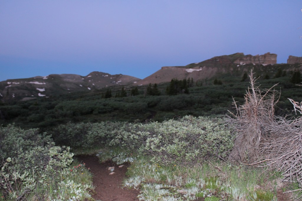
I’d hiked up to 12210’ the day before, summited some peaks, and spent the night at my camping spot, so I was able to get up early and refreshed the next morning to hit the trail at 5:30am.
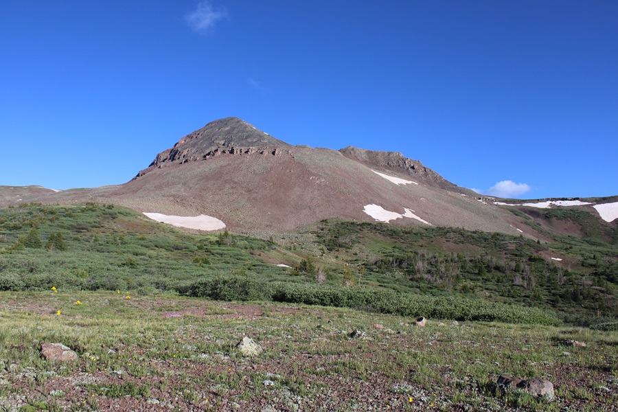
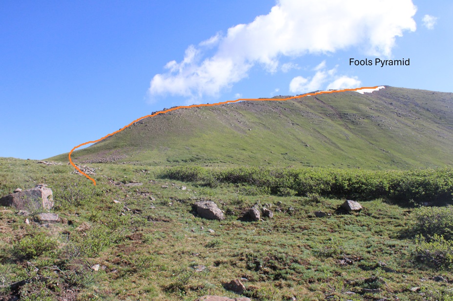
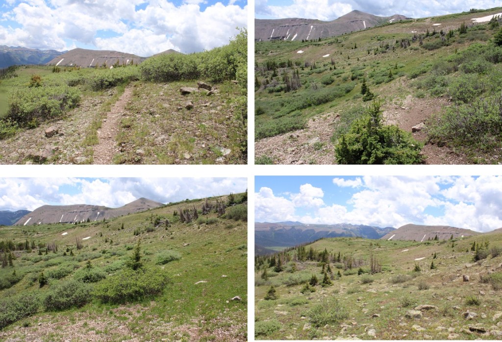
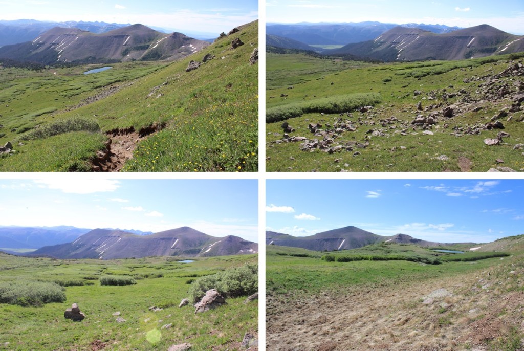
This time, I was heading southwest on the Continental Divide Trail.
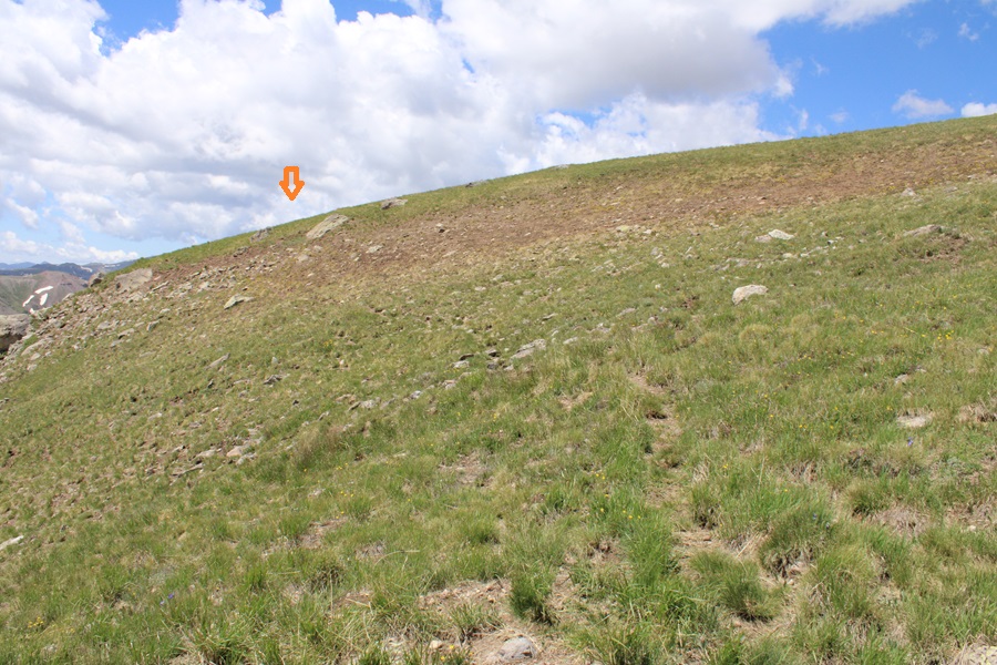
This trail was easy to follow, and well established. I followed it for just under 2.5 miles to the saddle of 13022 and Window Peak.
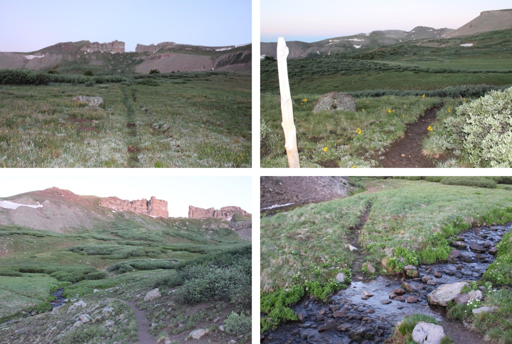

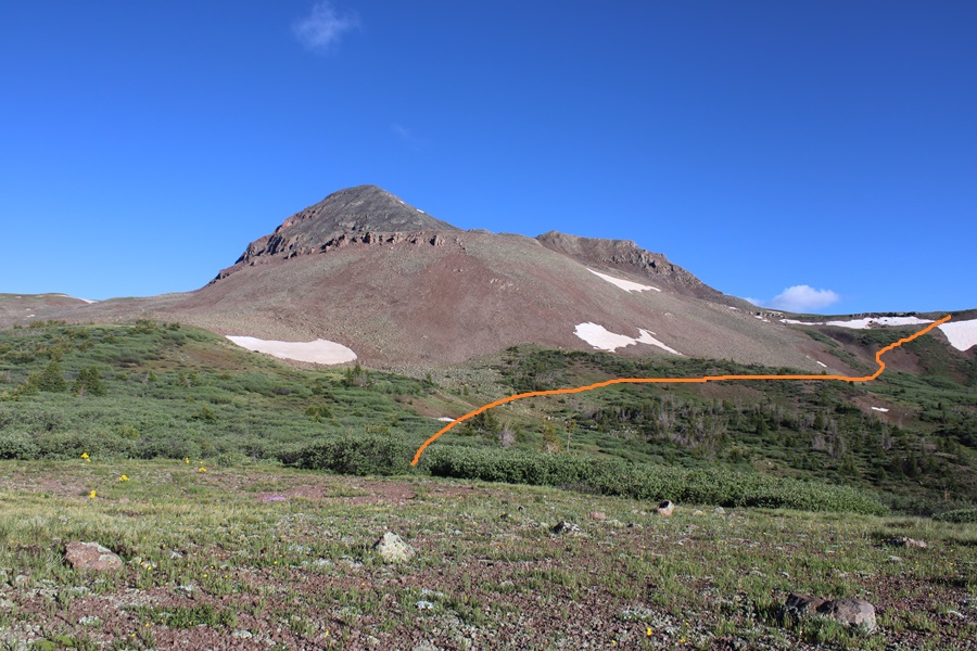
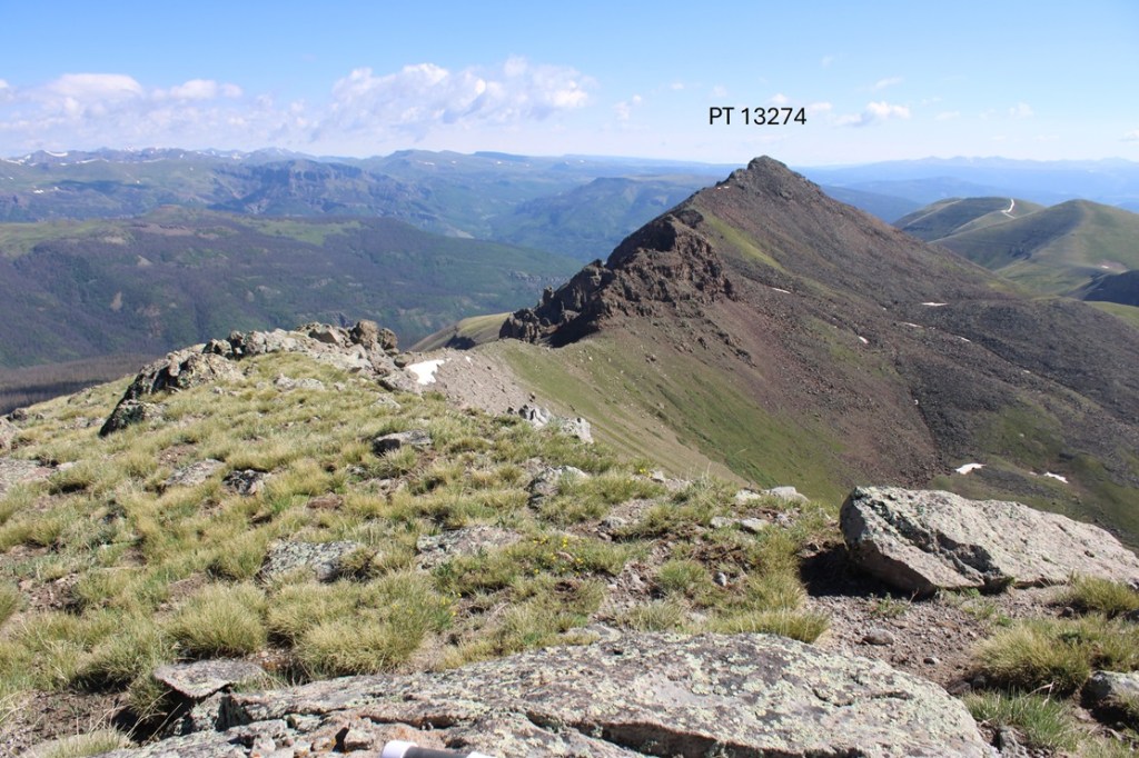
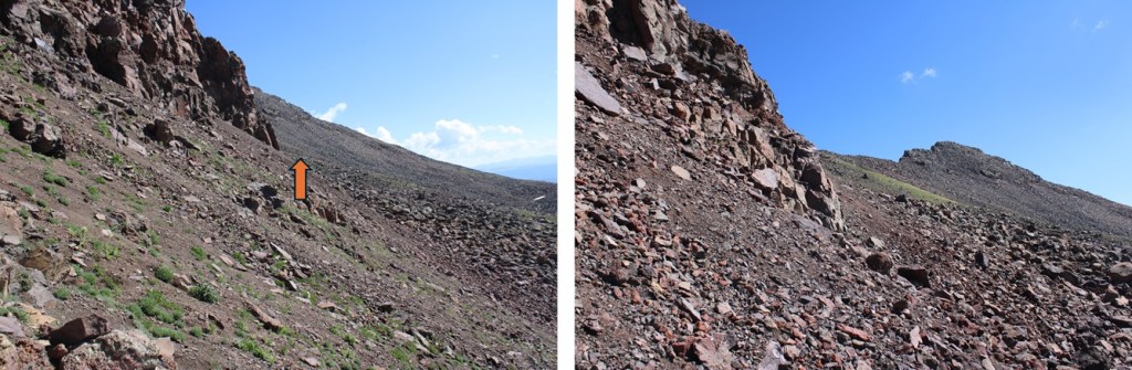
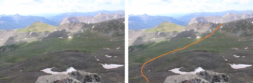
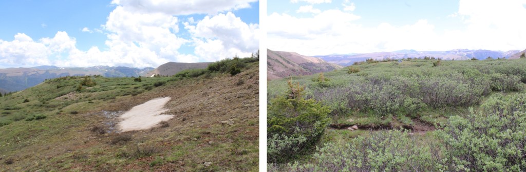
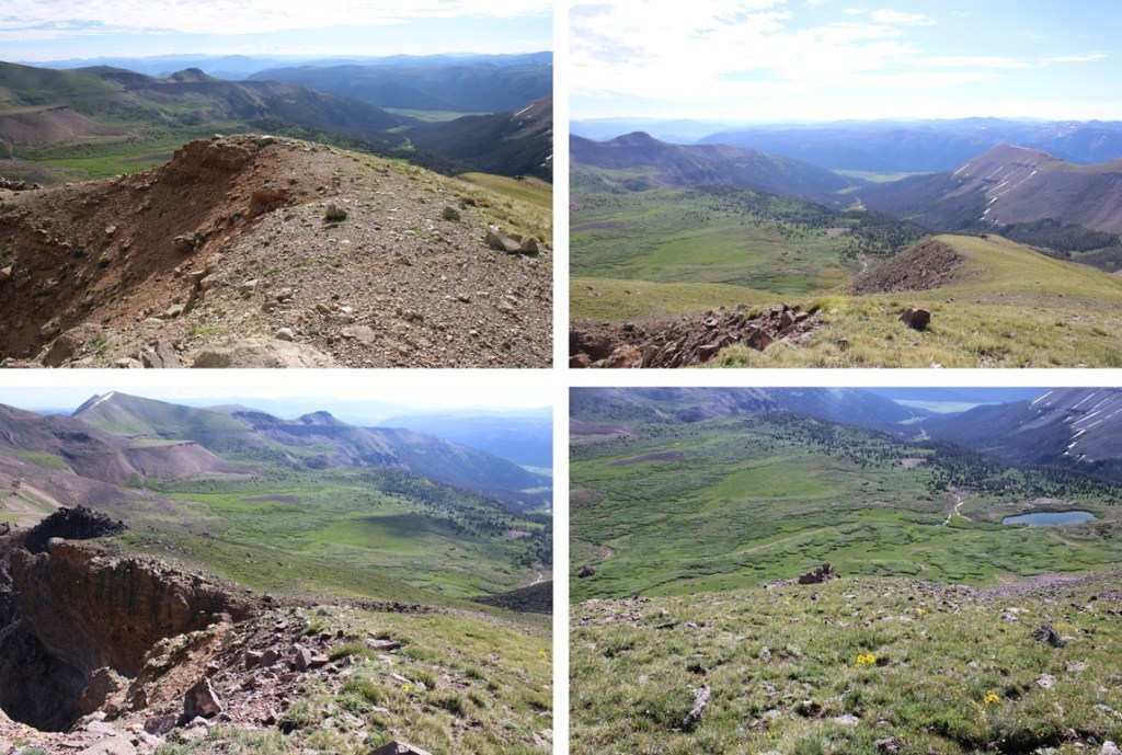
From the saddle I turned left and headed towards PT 13022. I did not follow the saddle, but instead cut across to the rocky basin.

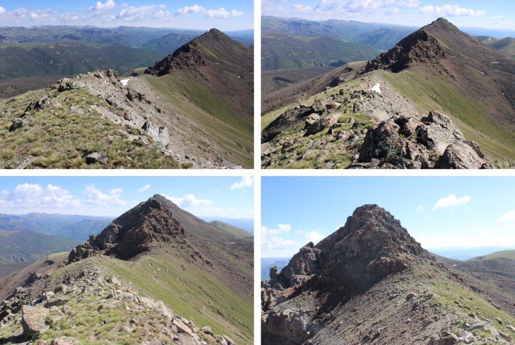
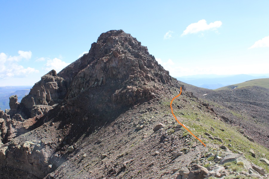
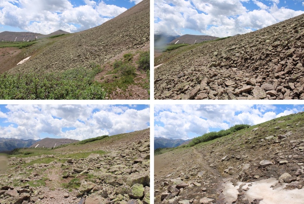
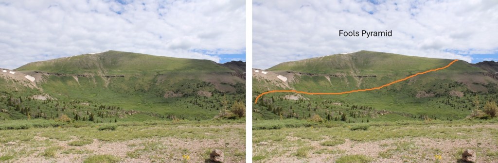
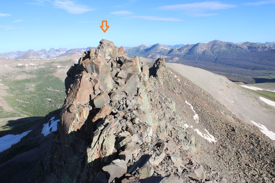
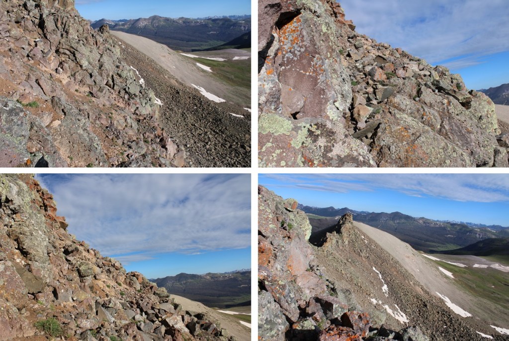
There wasn’t a trail here to the summit, and it looks like a viable route changes from season to season due to rockslides, etc. This is the basic route I took to the summit, and back down. The solid line is the route I took up, the dotted line is the route I took down. I’d recommend taking the route I took down both ways. The climbing here was class 4. In fact, I saw a (very old) anchor set up along my route, so people at one point at least used ropes to descend.
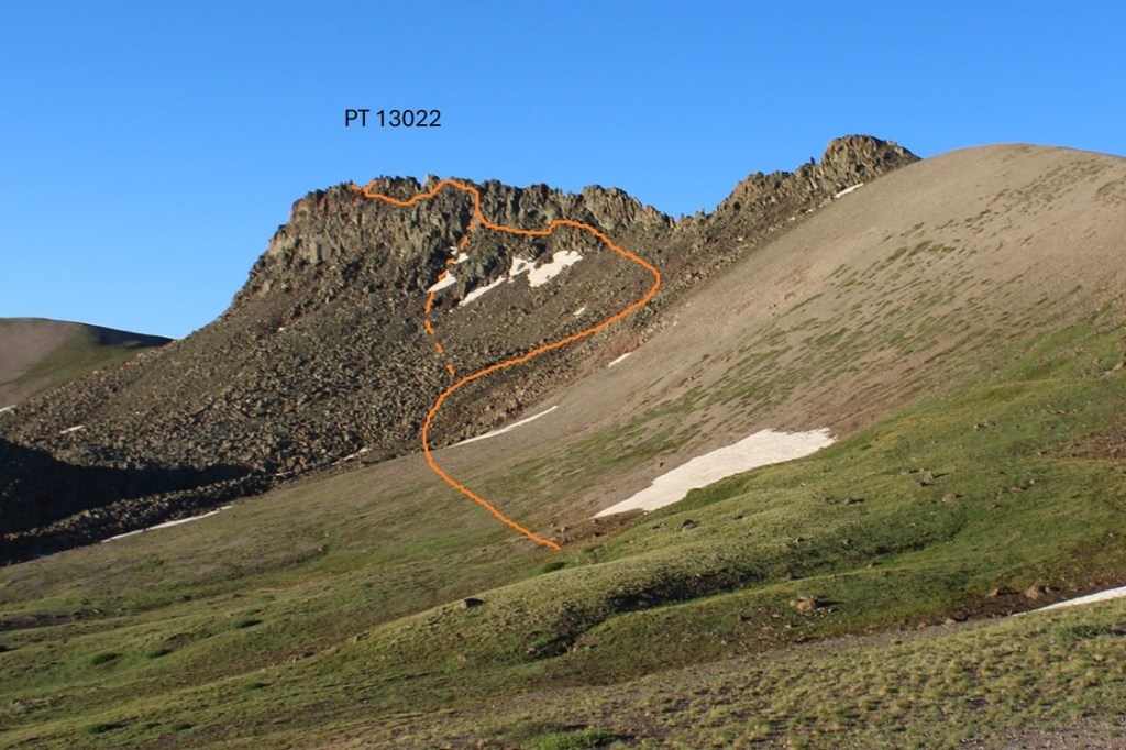
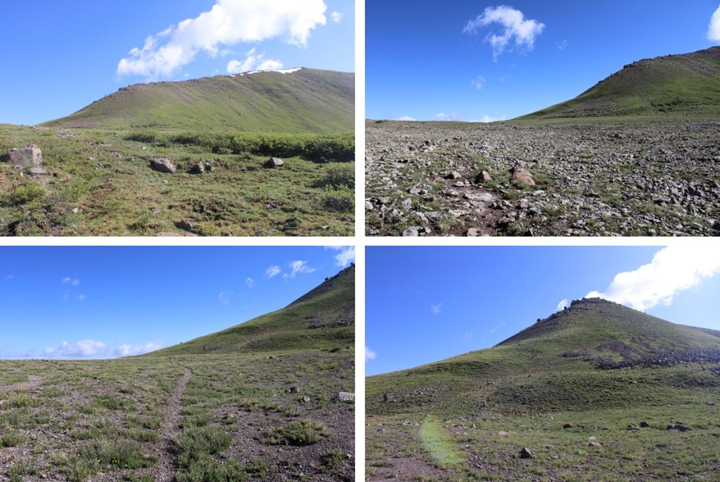
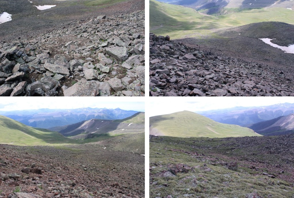
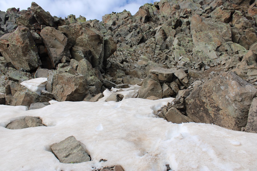
First, I made my way up the rocky basin.
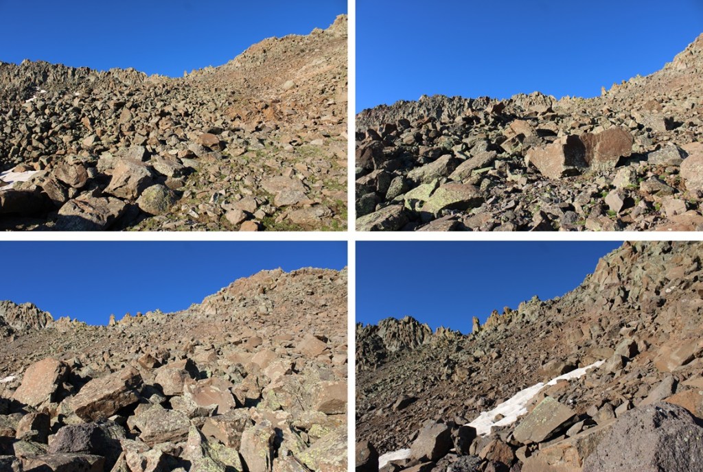
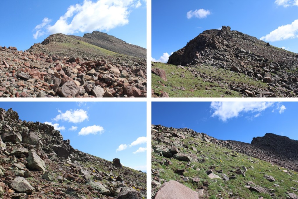
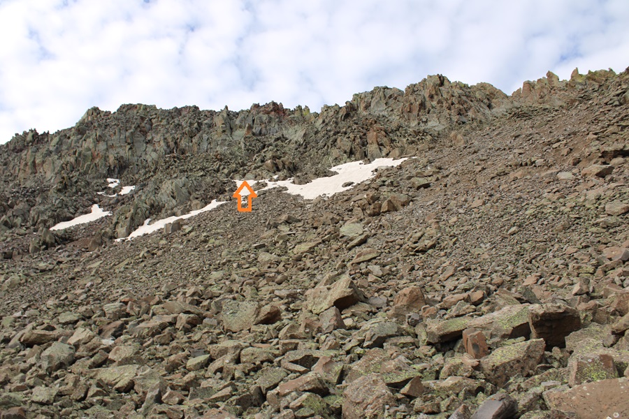
Then I headed towards and up this rocky ramp
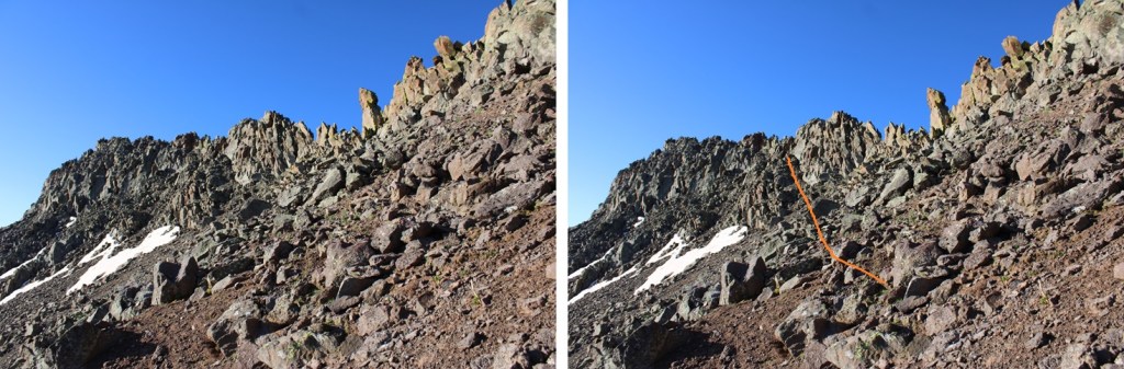

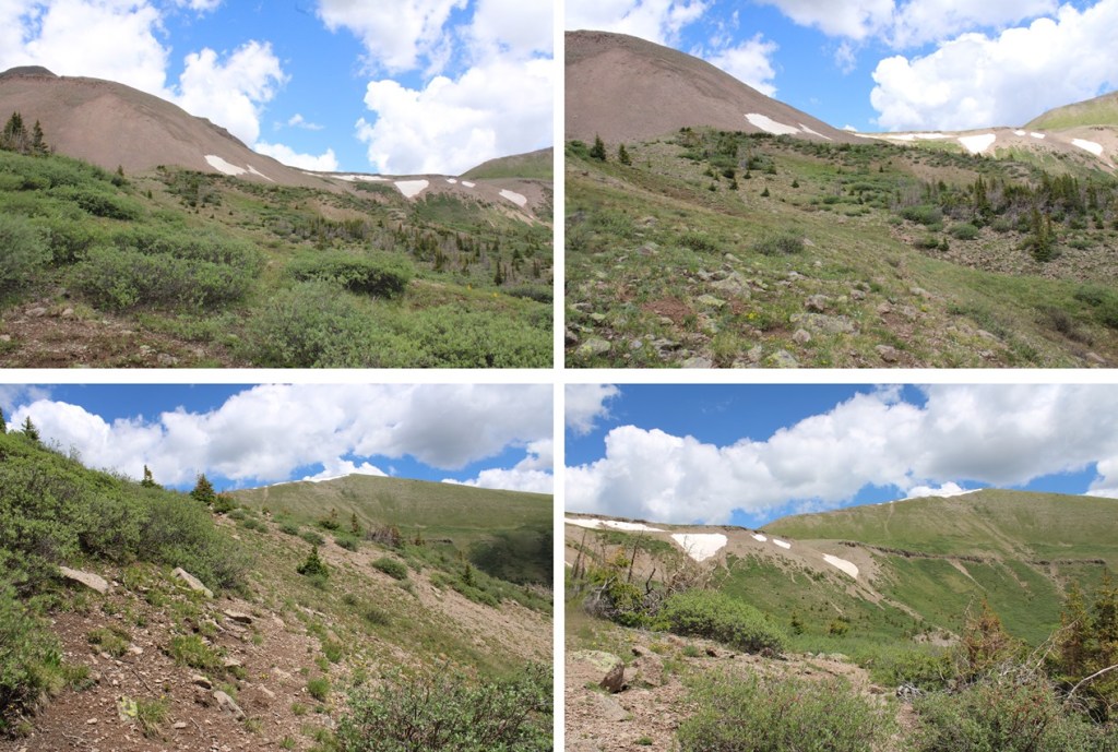
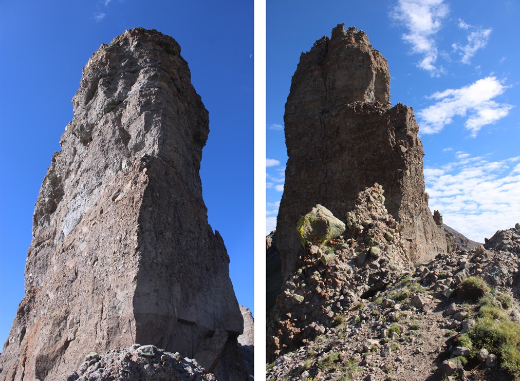
At the top of the ramp is where it really got interesting. There were a few cairns here, but as I said earlier, it looks as if the route changes. I scrambled my way up to the ridge, had about 20 feet of ridge climbing, then had to descend to find a viable route east.
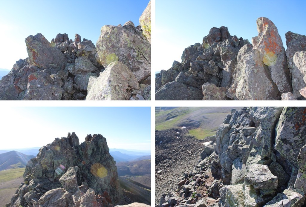
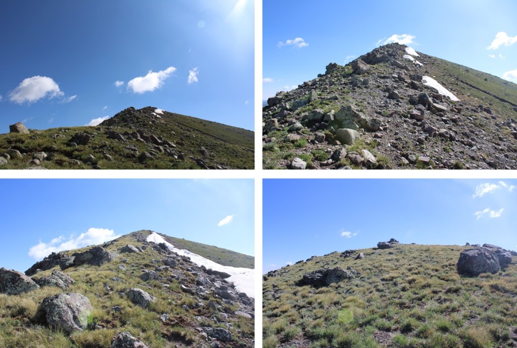
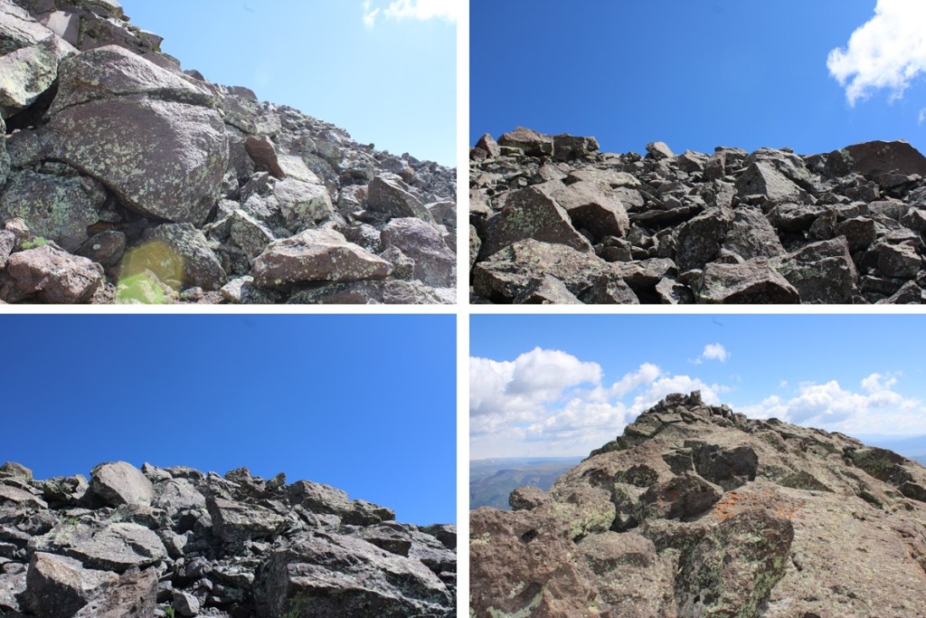
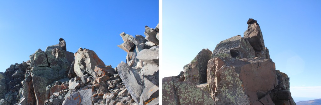
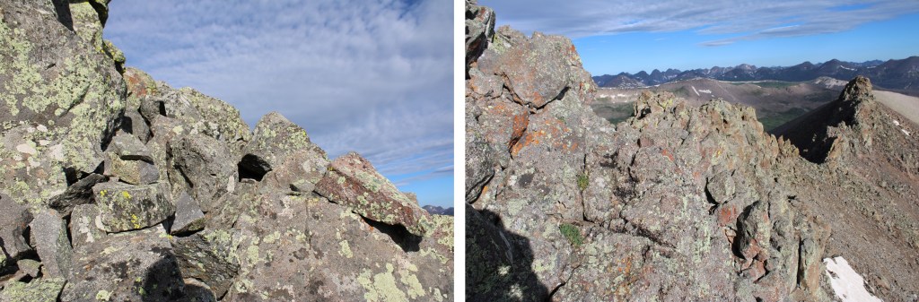
Ahead of me there was a rock perched atop a spire that looked like a cairn, and I assumed this was the summit. Here is where I was aiming.
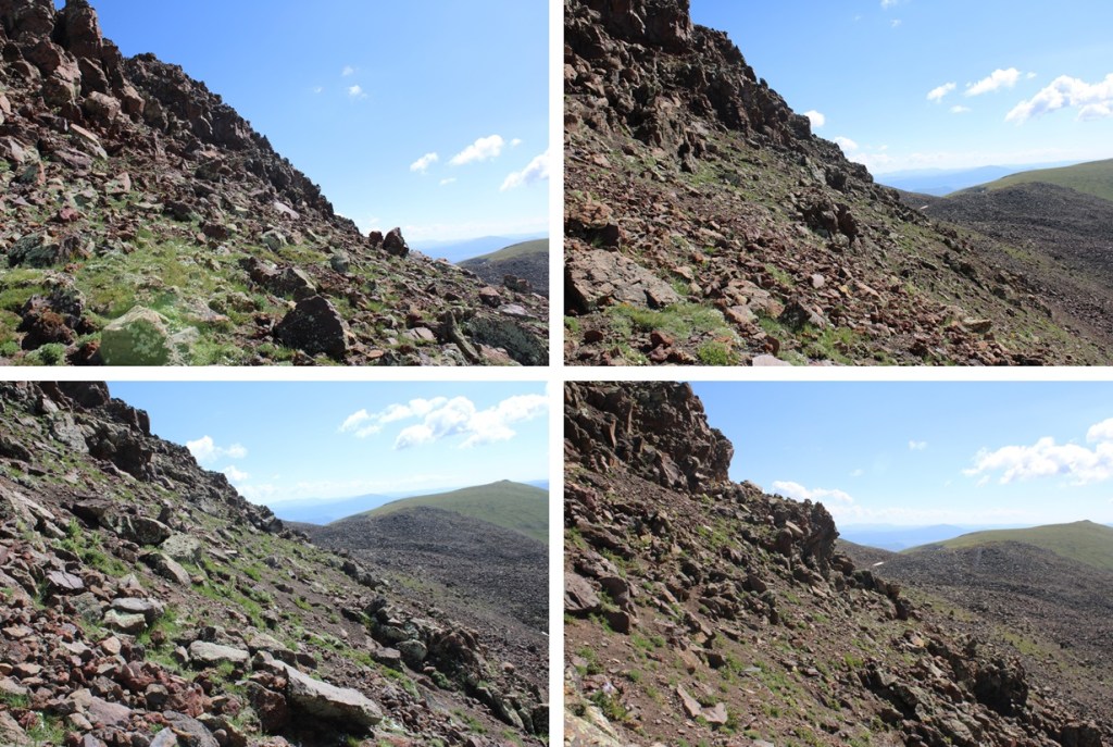
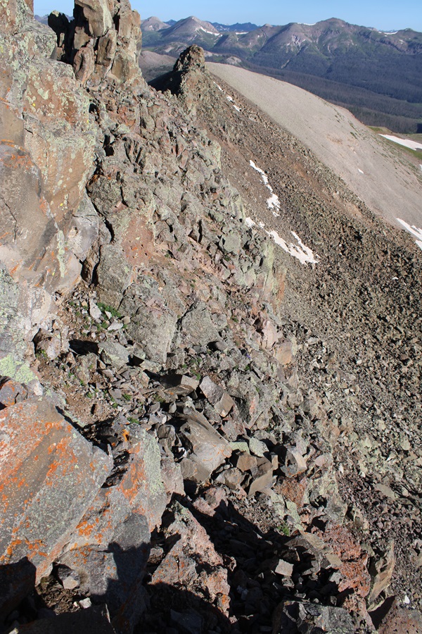
I did my best to follow game trails and cairns where I could find them, staying below the ridge, doing my best not to fall down the loose gullies, making my way east. Yes, there were times I had to crawl around rocks with serious exposure to avoid climbing the ridge. I did not feel the ridge ‘went’.

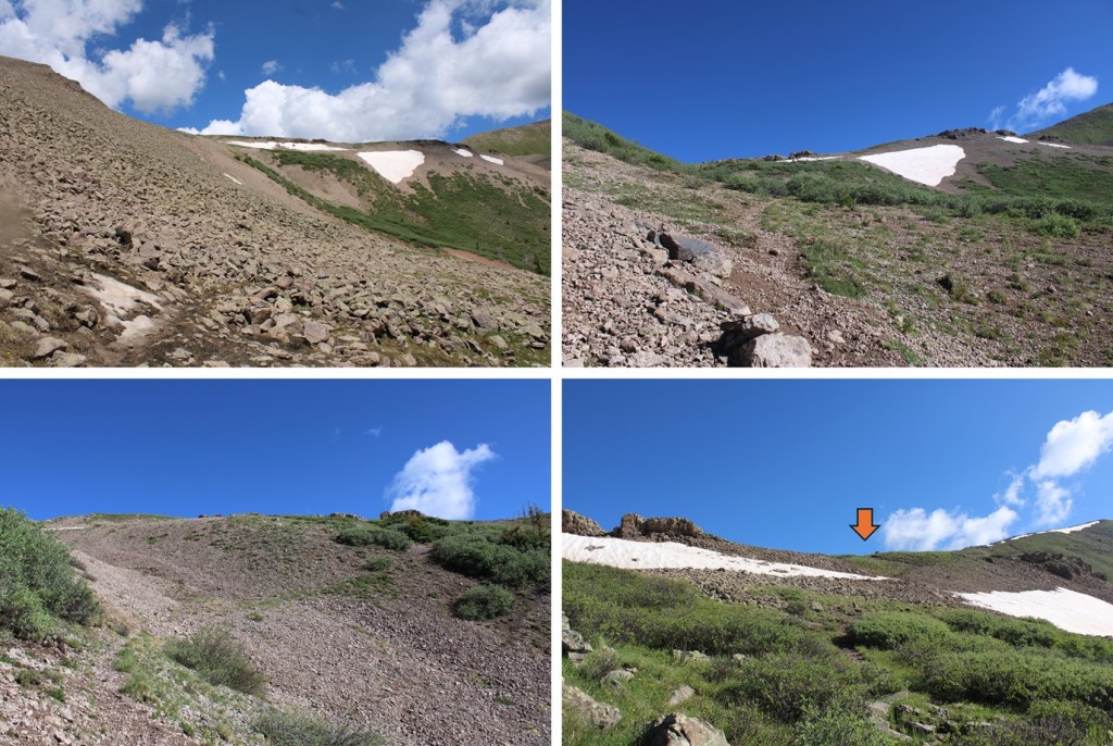
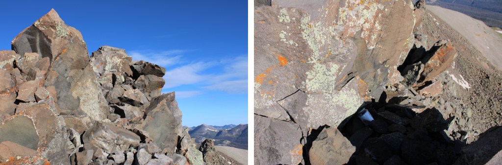
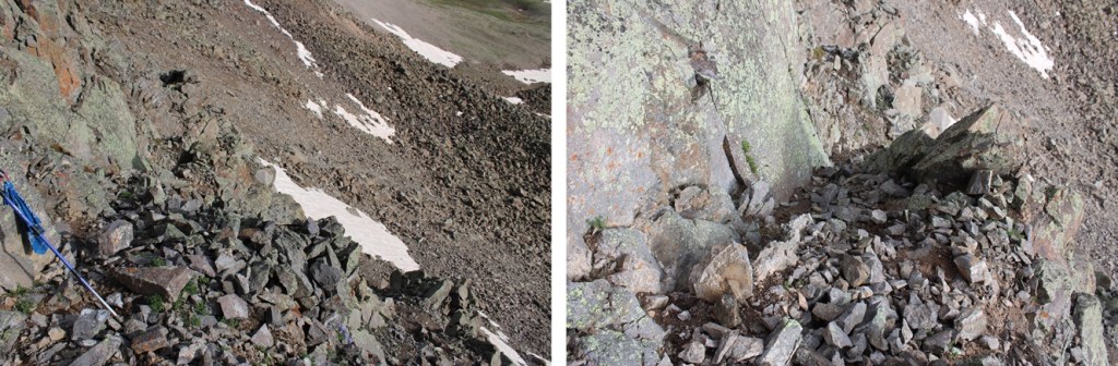
Here’s that anchor I was talking about

I kept aiming for the cairn
I made it to the cairn, scrambling up some class 4 rock to get there, sat and took a video.
I turned and looked to the west, and it seemed as if the point just a few yards away was higher, so I scrambled my way over there as well.
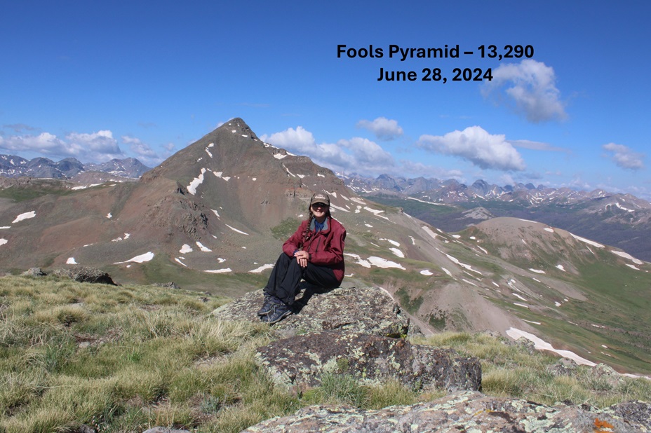
When I got there, I found a summit register (which I couldn’t open) so I’m guessing it’s the true summit, although both points looked to be of equal height.
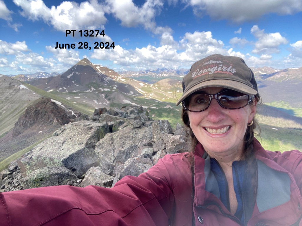
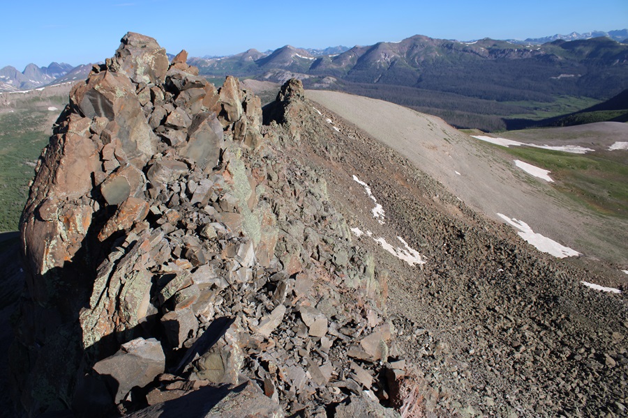
I summited PT 13022 at 7:30am

PT 13022:
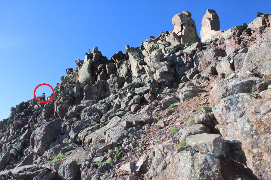
Now to make my way down. On my climb up I had a better view of the mountain, and found a gully I thought looked safer to descend. I downclimbed from my perch and started out by heading back the same way I’d summited, west.
Hey look! A cairn!
Just for perspective, here’s a photo of where I left my trekking pole. I scrambled around this rock to get back there. If you look closely, you can see a cairn on the rock to the left of the trekking pole. This was the crux of the route for me, both in and out.

I continued west, found a gully that looked stable-adjacent, and headed down.
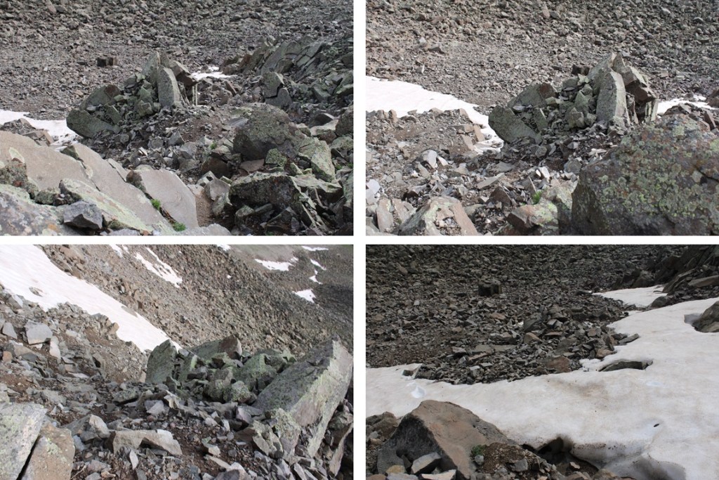
Here’s looking back up at the gully I descended
And now to head back down the rocky basin and make my way back to the saddle with Window Peak.
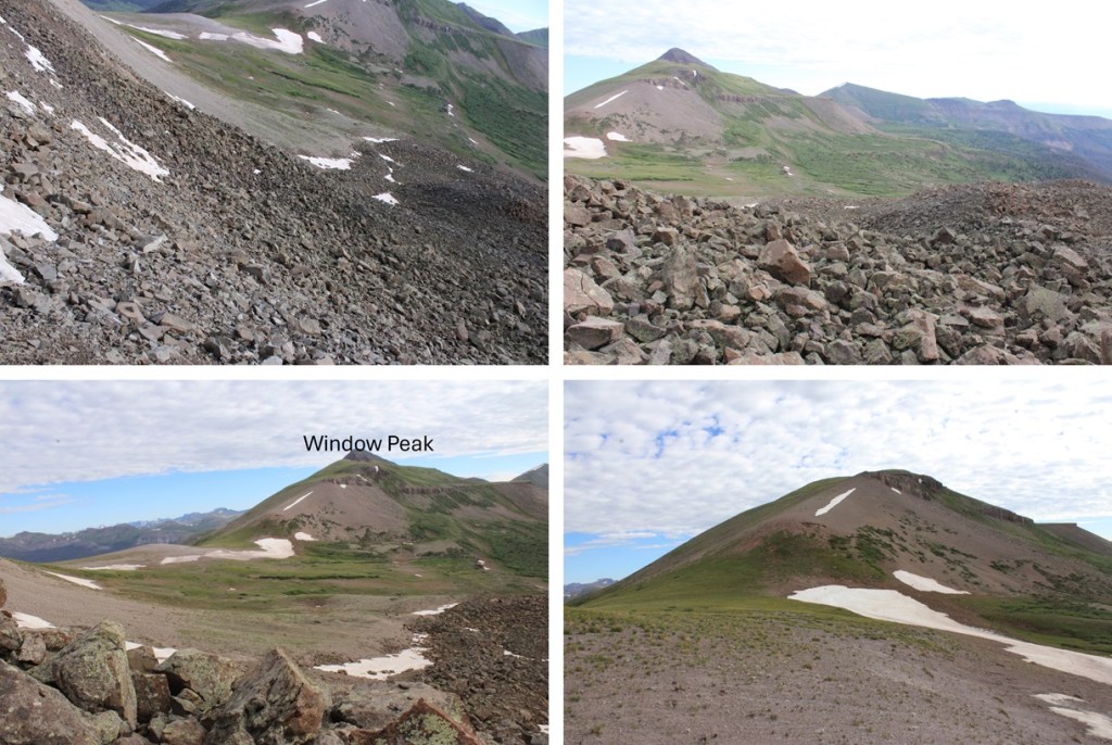
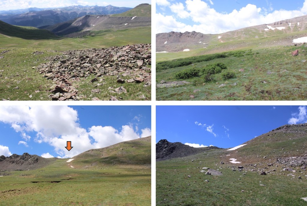
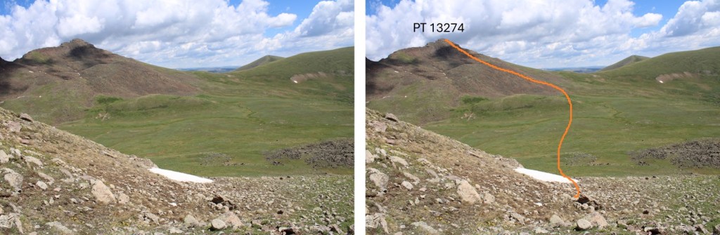
Window Peak isn’t ranked, but I needed an easy win, so I headed north, and followed the grassy slopes, which changed to rocky slopes, to the summit of Window Peak
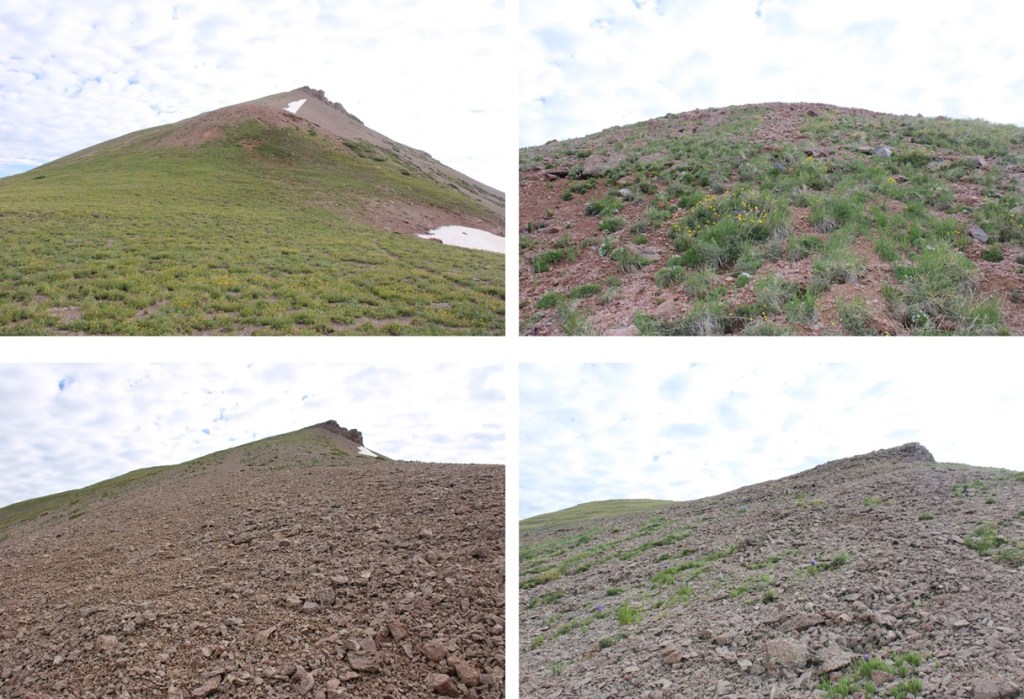
There was a bit of a false summit here, so I just kept following the ridge

There were also some pretty cool rock formations along the way


I summited Window Peak at 8:50am
Window Peak:
I wanted to hike to the actual window, so I continued north along the ridge, descended a grassy gully until I was at 12900’, and then traversed north to The Window.

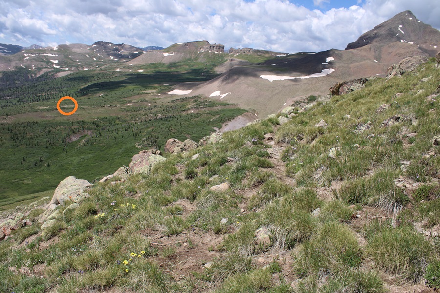
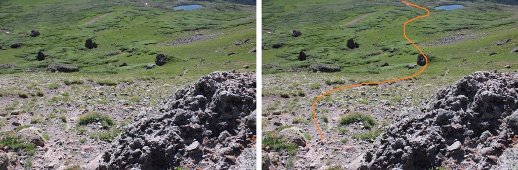
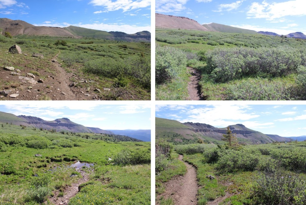
Now to head back to my campsite. This was actually fairly easy. There was a solid trail that descended from The Window, which eventually went away. I followed the trail as far as I could, then just aimed east for the Continental Divide Trail, which I could see located by the pond in the distance.
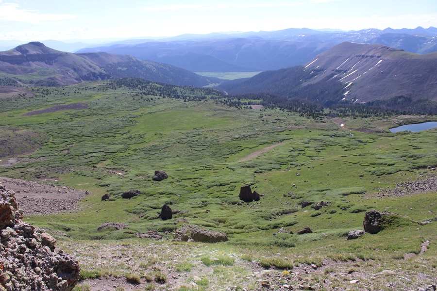
Here’s a view of Window Peak

And my route back to the trail
Back on the Continental Divide Trail, I followed it northeast back to my campsite.
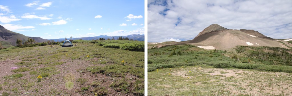
I made it back to my campsite at 9:45am. This was a 6.88 mile hike with 1471’ of elevation gain from my campsite at 12210’.

On to the next trailhead!