RT Length: 12.88 miles
Elevation Gain: 4571’
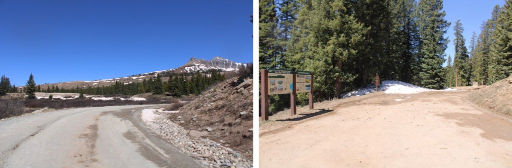
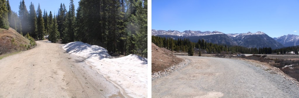
I parked at 10870’, just after the junction for Kendall Gulch and Deer Park. My truck could have easily made it to Deer Park, but as some of you know, I don’t like passing other vehicles on narrow dirt roads. I’d rather walk the extra miles. It was still raining when I made it to my parking spot, and I was soaking wet from the hike earlier, so I changed my clothes and made it an early night.

It was supposed to rain starting at noon (it did) so I wanted to make it an early day. This was going to be a long ridge hike, and I wanted to be off the ridge by noon.
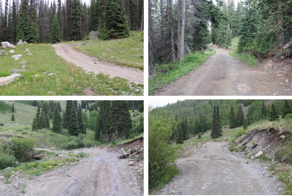
I was on the trail at 4:30am, following the road south for a mile to Deer Park

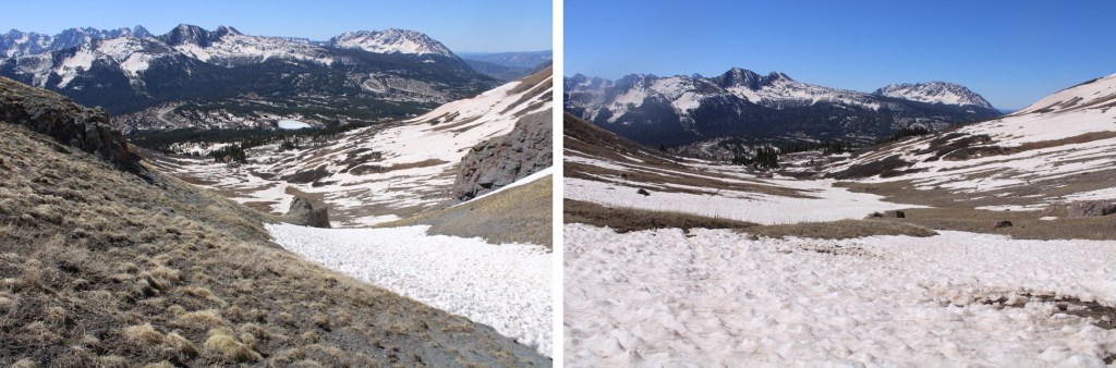
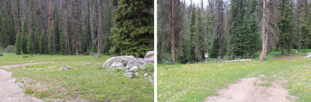
There was a great place to camp for the night, and this was also where my hike (which I’d made into a loop) would end.
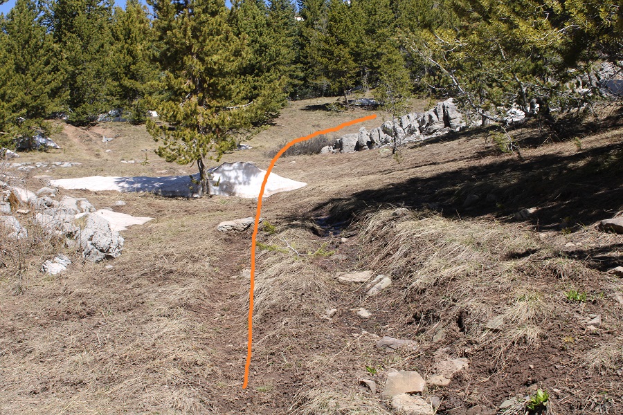
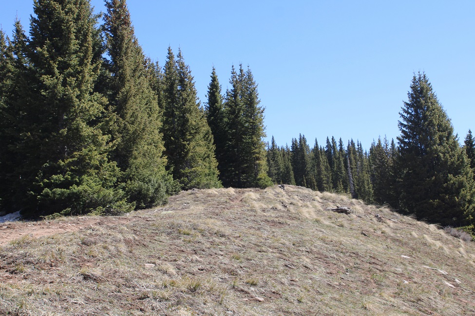
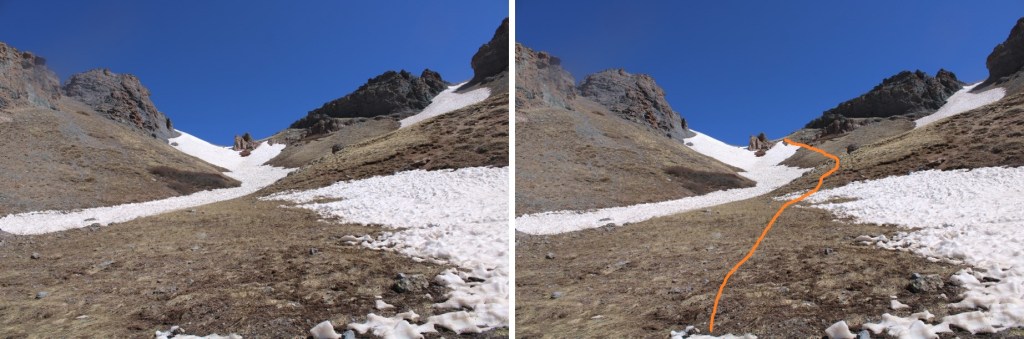
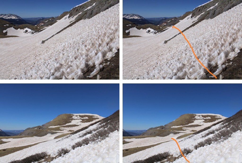
I continued following the road. I was supposed to follow the road until 10930’, where I was supposed to meet another road and follow that, but I never came across the road. Later on in the day, I was able to see the road from another mountain, but it was one of those roads that hasn’t been used in several decades (if not longer) and is completely overgrown. In the daylight I was able to make out bits and pieces of it, but at night, it was completely invisible. No worries though! I found a simple solution. At 11,300’ I left the road and headed northeast, aiming for the ridge I could see and treeline.
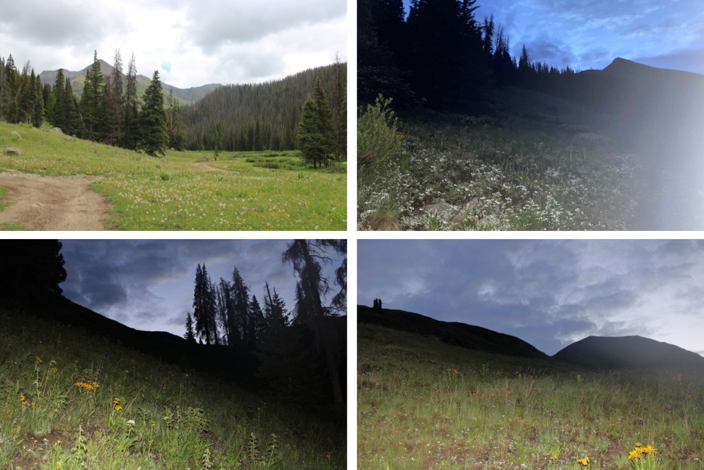
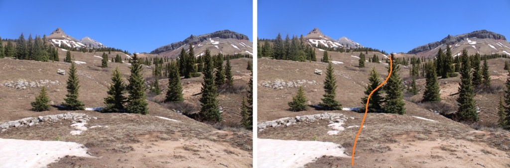
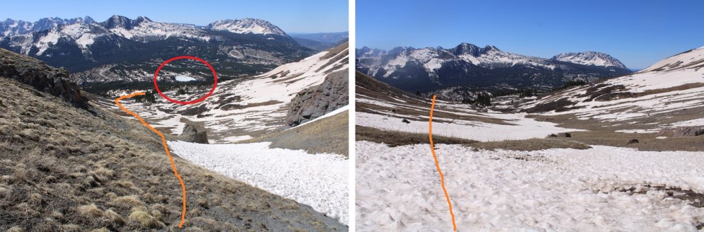
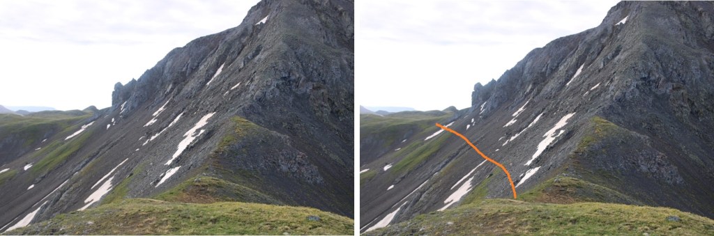
Now in the basin, I could see a faint trail. I followed that trail to the saddle

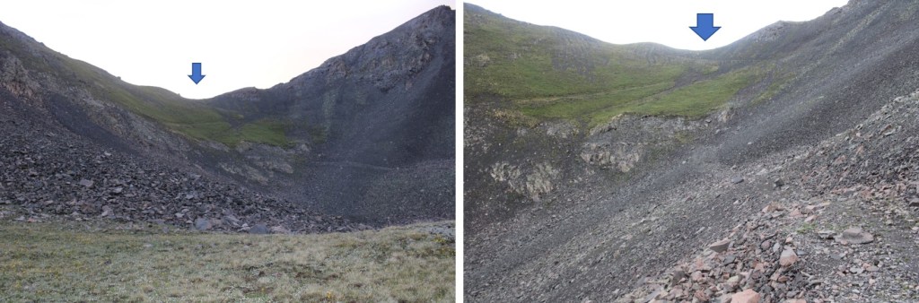
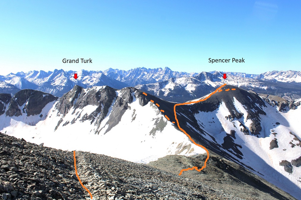
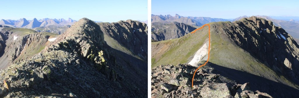
Once at the saddle I turned left, and followed the ridge to Kendall Peak.

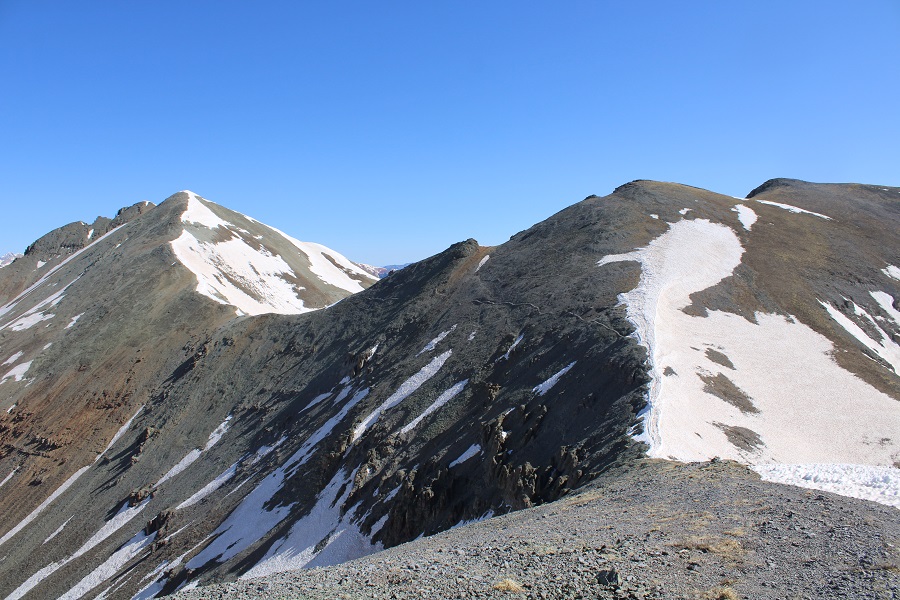
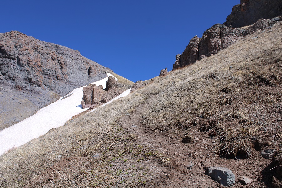
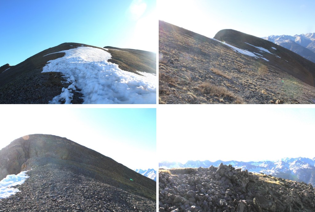
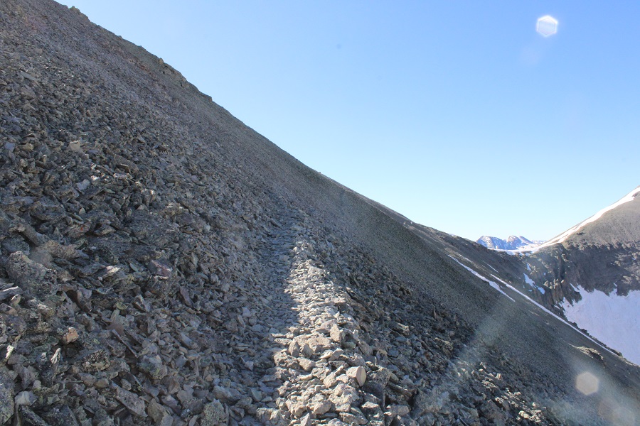
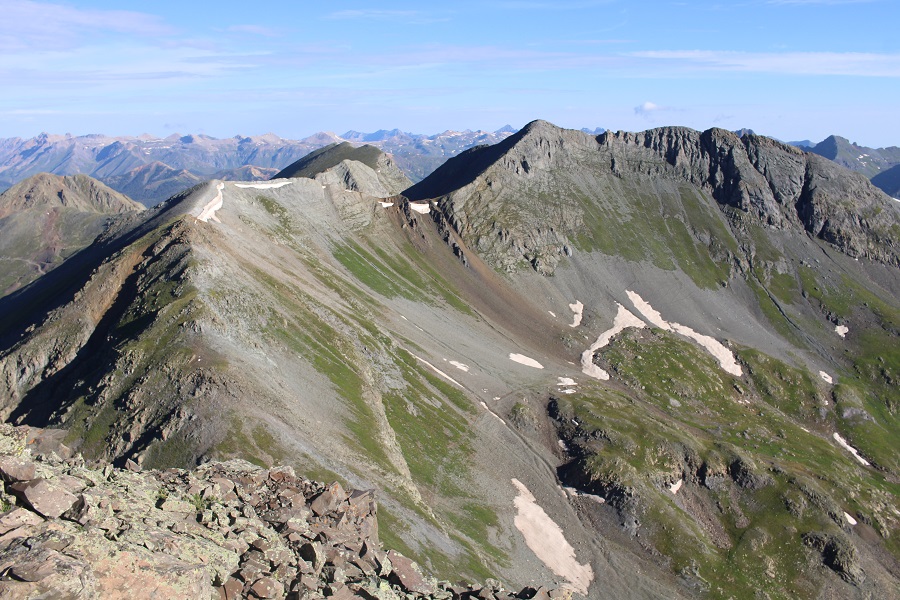
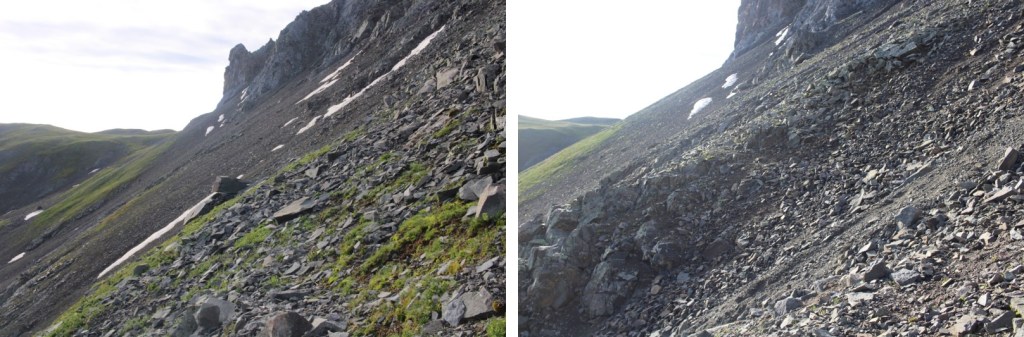
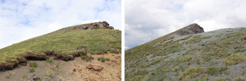
Here are some pictures of the route, which was all class 2 and straightforward. I was so glad I chose to do this hike instead of taking the gully from Kendall Gulch (which I’d tried and failed to ascend the last time I was in the area). This route was much easier.

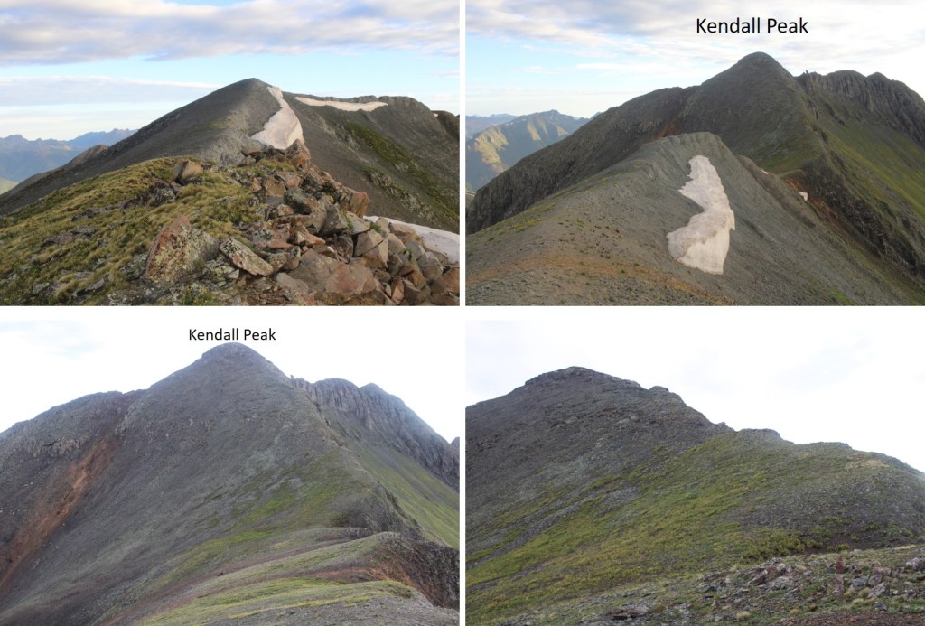
I summited Kendall Peak at 6:55am
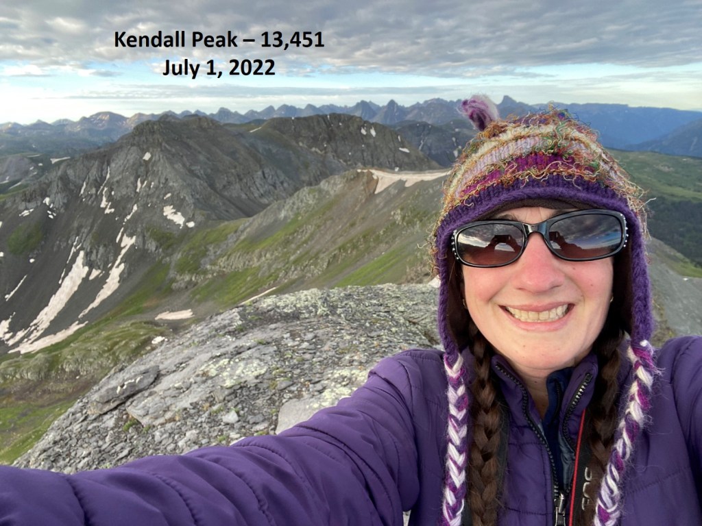
Kendall Peak:
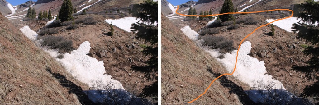
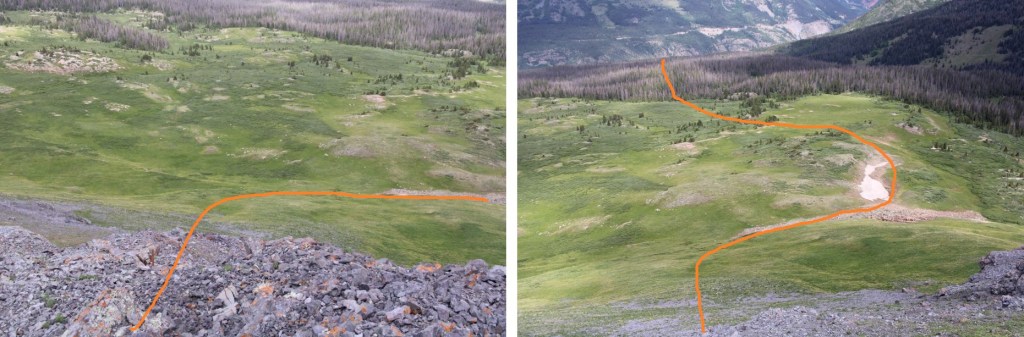
Here’s looking back on the route in and the saddle. I turned and made my way back there.

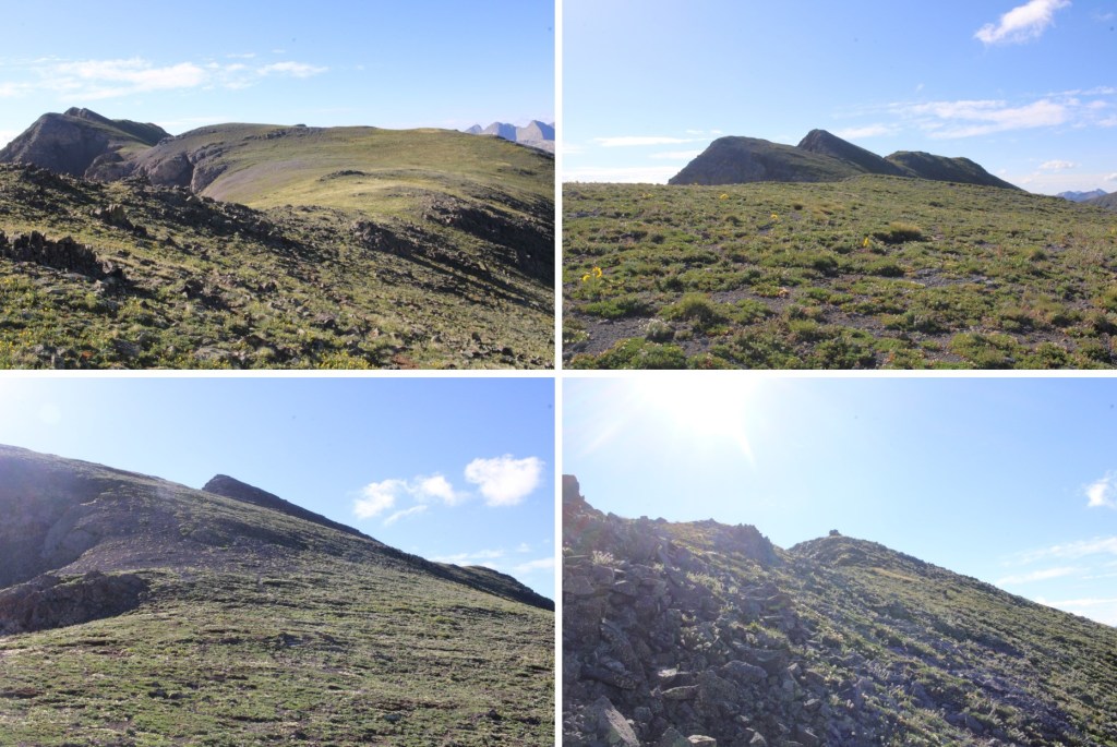
Here are some close up pictures of the route back to the saddle.

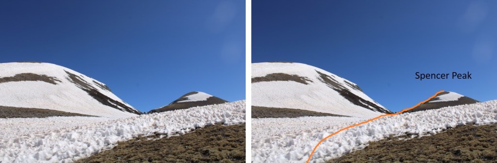
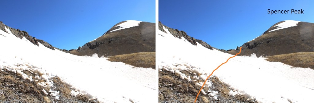
Once at the saddle it was my goal to head east, but I was worried the terrain was too steep, and I couldn’t see a trail to get across. I went for it anyway, and ended up stumbling across a very helpful game trail.
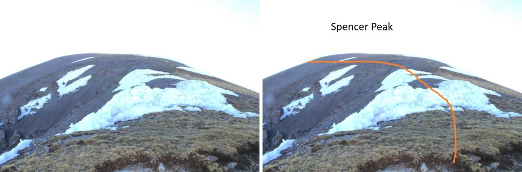
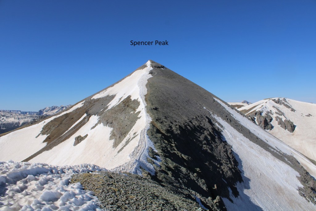
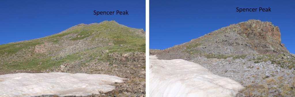
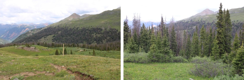
Once safely on tundra, I turned right and headed west up to the summit of “Spencer Peak” (unranked). This was all class 2. In fact, the entire day was class 2.
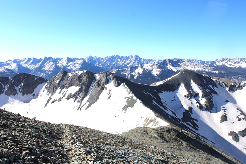
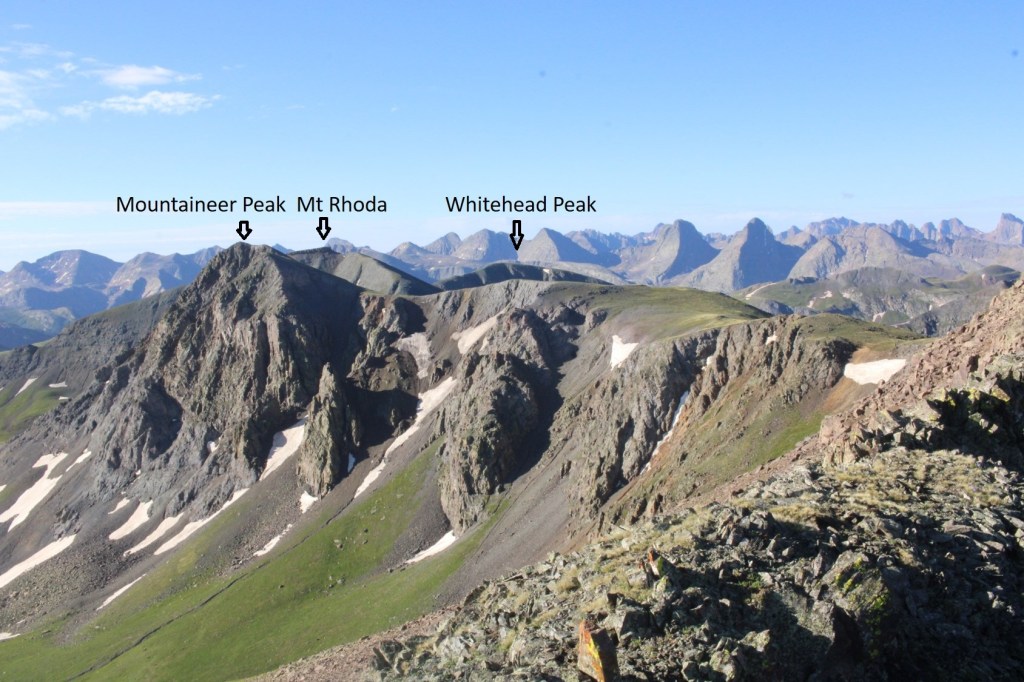
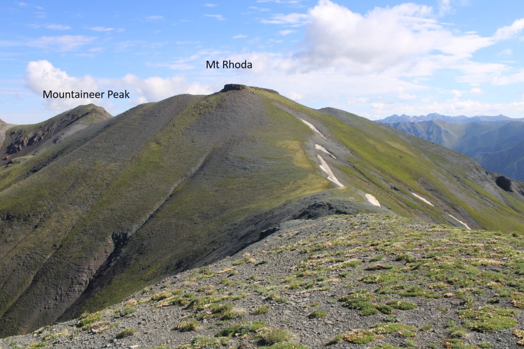
From the summit of Spencer Peak, you can see Mountaineer Peak and Mt Rhoda to the southeast
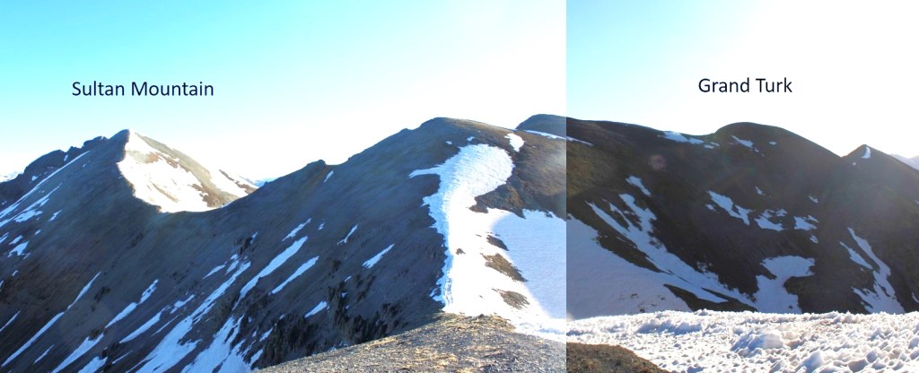
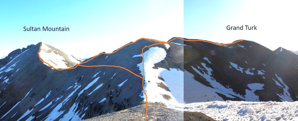
I turned left again, and followed the rocky ridge south.
I then turned left again, and followed the tundra southeast towards Mountaineer Peak

I summited Mountaineer Peak at 8:30am
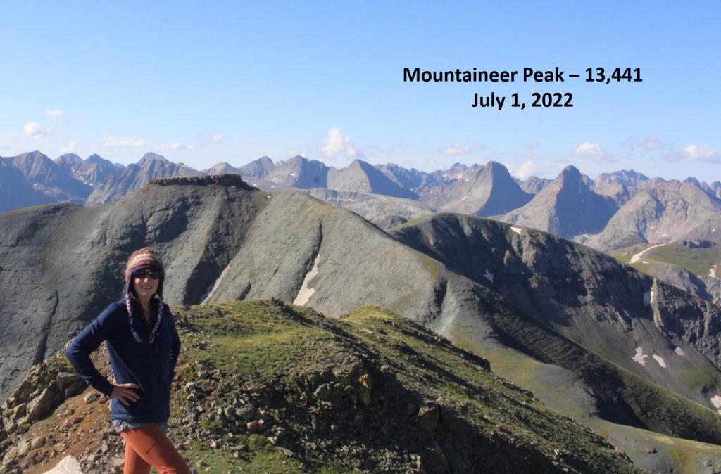
Mountaineer Peak:
I could easily see Mt Rhoda (unranked) to the south, and headed that way. This was an easy tundra stroll

To summit, I went to the right of the block tower, and found more tundra (no need to climb up the tower).

Mt Rhoda:
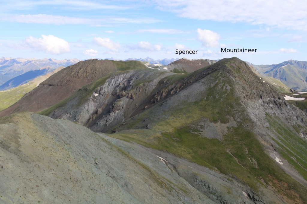
From the summit of Mt Rhoda, here’s looking back on Mountaineer and Spencer
Continuing the loop, I headed south towards Whitehead Peak (unranked), which was another easy, tundra stroll

The summit was flat, but you couldn’t beat the views!
Whitehead Peak:
Here’s looking back at Mt Rhoda
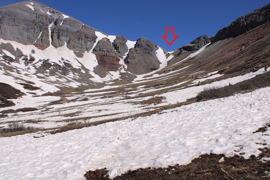
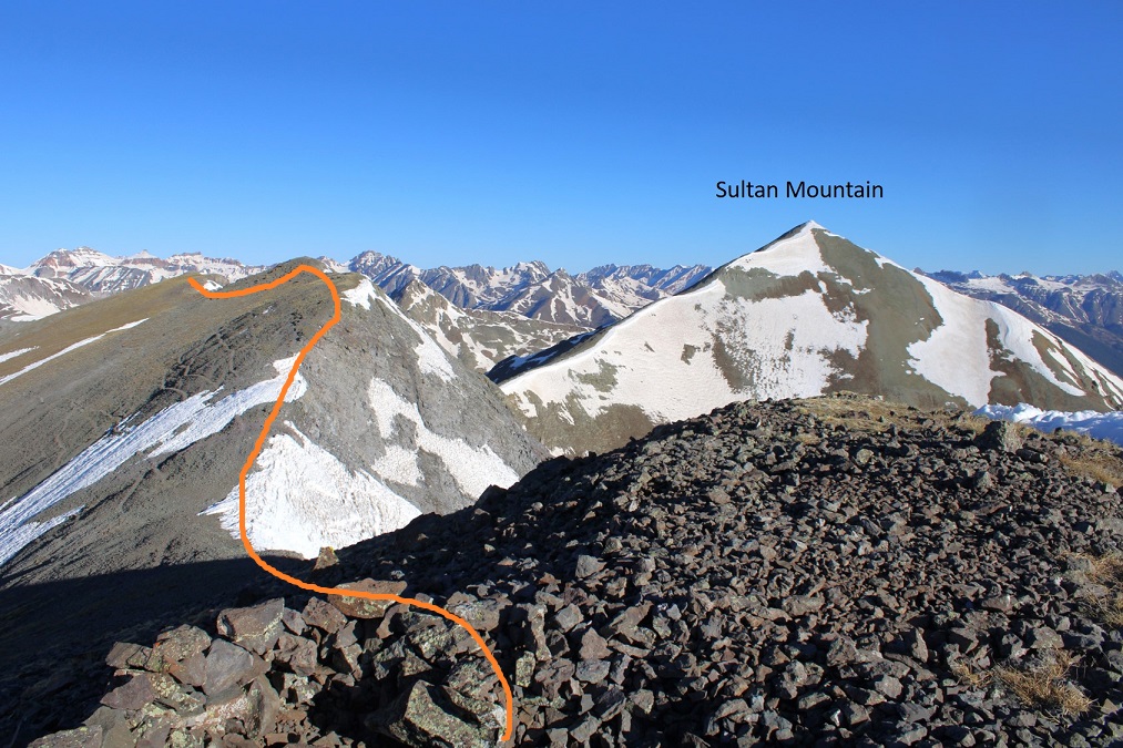
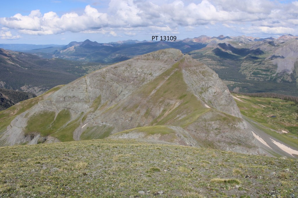
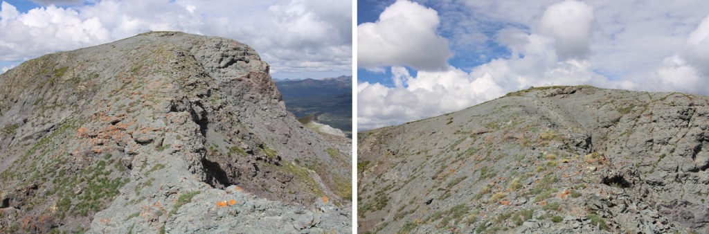
And now on to PT 13109. I headed west, following the ridge
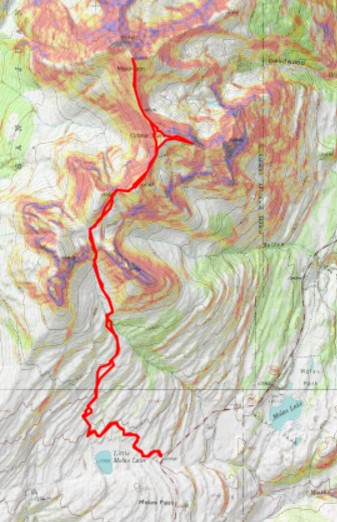
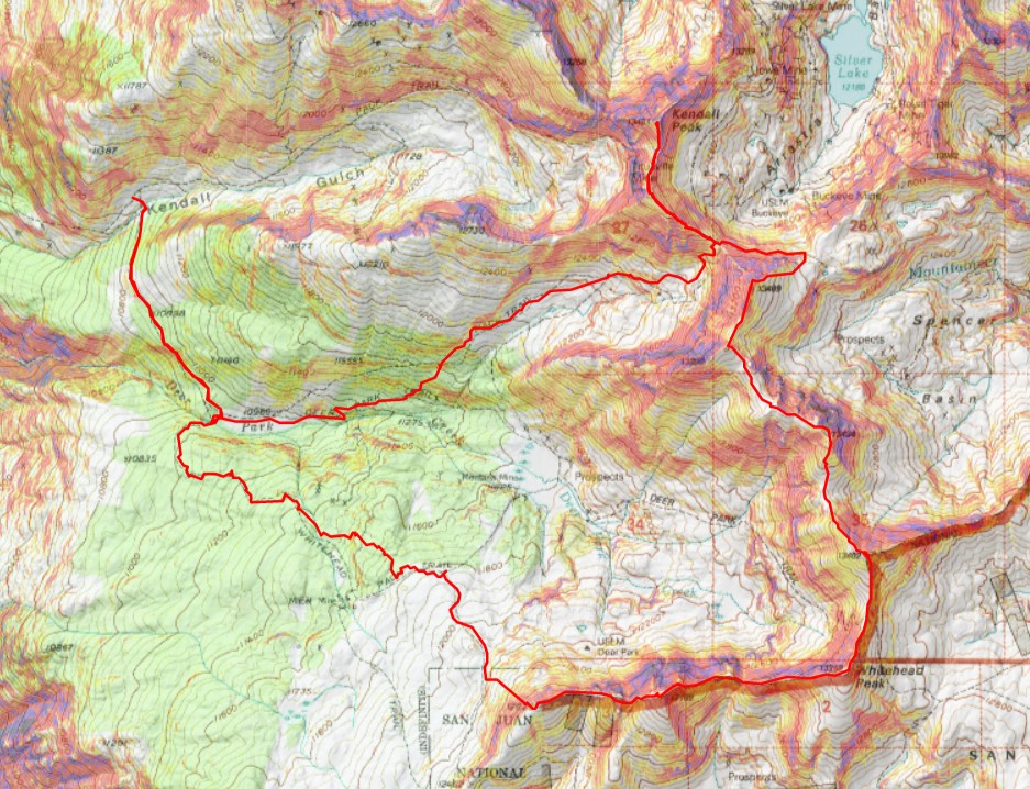
Here’s my overall route
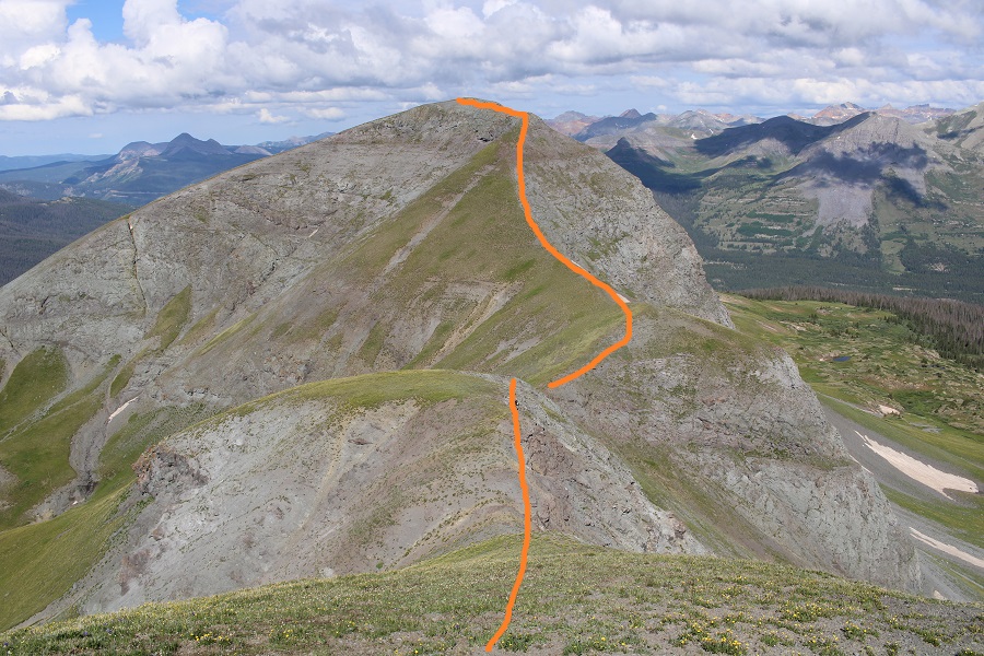
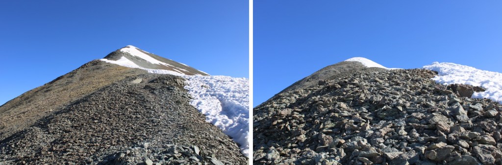
And some step by step pictures
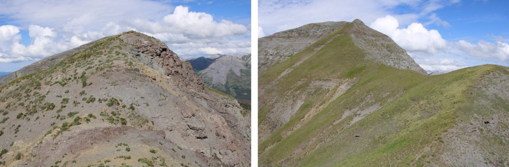
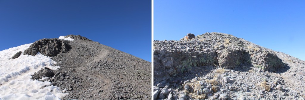
The last bit to the summit was on a bit of an airy traverse, but still class 2, just narrow
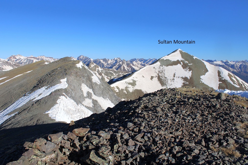
I summited PT 13109 at 9:45am
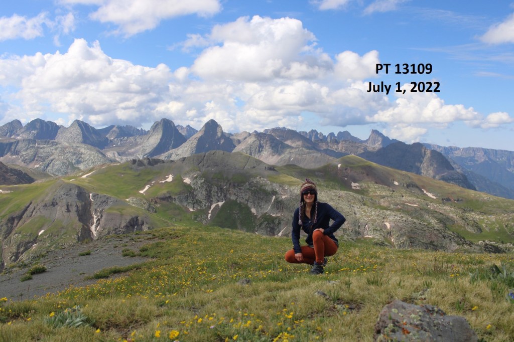
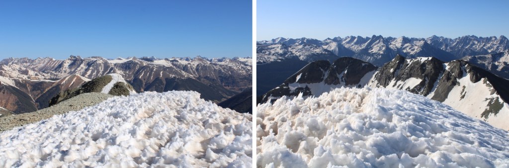
PT 13109:
Here’s looking back at Whitehead and Mt Rhoda

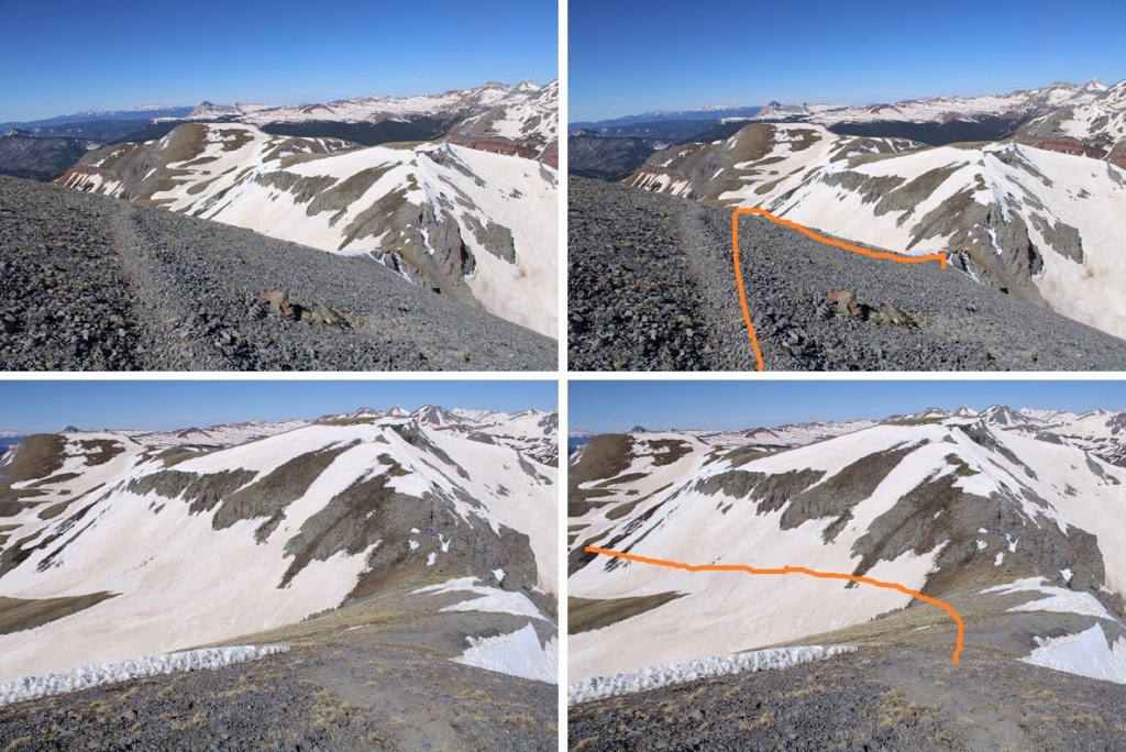
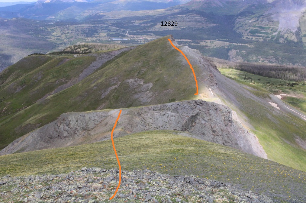
I continued west, towards PT 12829
I came across some ptarmigans along the way
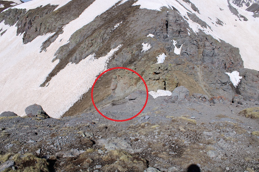
At the saddle I came across an open mine shaft… then continued up the ridge

From here I could see the route I took that morning, and I could actually see the old road, or what was left of it (directly above the cairn)

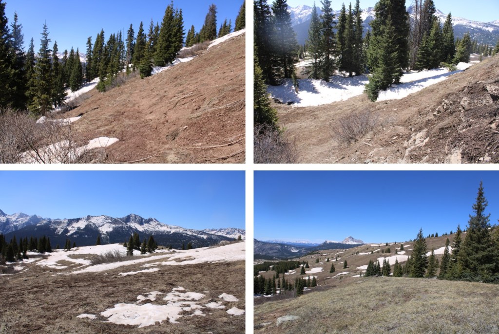
I continued west down the face of PT 12829. It was my goal to link up with the Whitehead Trail. I do not recommend this. Serious route finding is required. Instead, take one of the many trail that will take you back to the road you hiked in on. In any event, here’s my route down
I swear there’s an actual trail here… I kept losing it, but then finding it again

I eventually came to Deer Park Creek, and that campsite I mentioned earlier
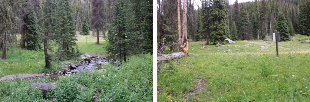
I then followed the road back to my truck
I made it back to my truck at 11:45am, making this a 12.88 mile hike with 4571’ of elevation gain in 7 hours, 45 minutes.
On to the next trailhead!