This report will get you to many of the 13ers and 12ers in the Rio Grande Pyramid Group, starting from the trailhead in Thirtymile Campground. It’s a 10 mile trek with 3150’ of elevation gain just to this basecamp, not including adding on mileage and elevation gain for the peaks, so while these peaks are certainly doable in a day if you’re fit and experienced, I decided the last time I was here to take my time and make it a several day trip on my next adventure. As an added bonus of spending the night at this basecamp, the views of Rio Grande Pyramid, Fools Pyramid, PT 13022, and Window Peak/Window Rock are breathtaking.
There are several ways to get to this basecamp at 12210’, and I’ve taken many of them, but the one I’m detailing here is by far the most direct and easiest to follow. The other trails require good route finding and navigating through endless willows, making the trail more difficult to find/follow, especially in the dark.
I started by parking at the hikers parking lot at Thirtymile Campground. There are plenty of spaces here, and bathrooms nearby.
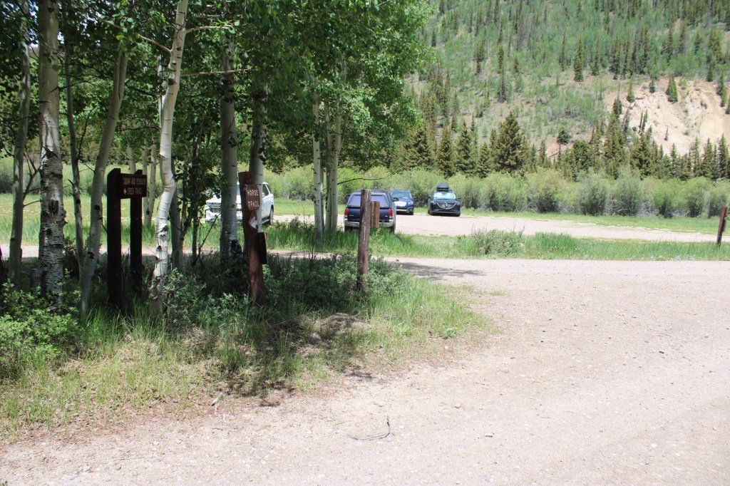
The trail starts to the south of the parking area, and is clearly marked
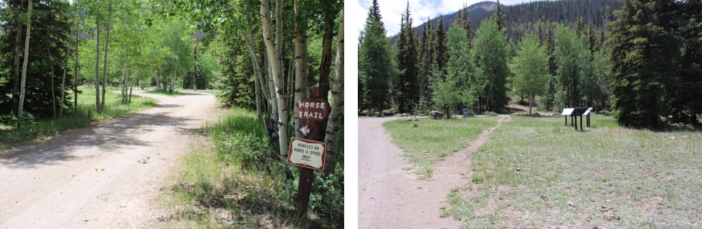

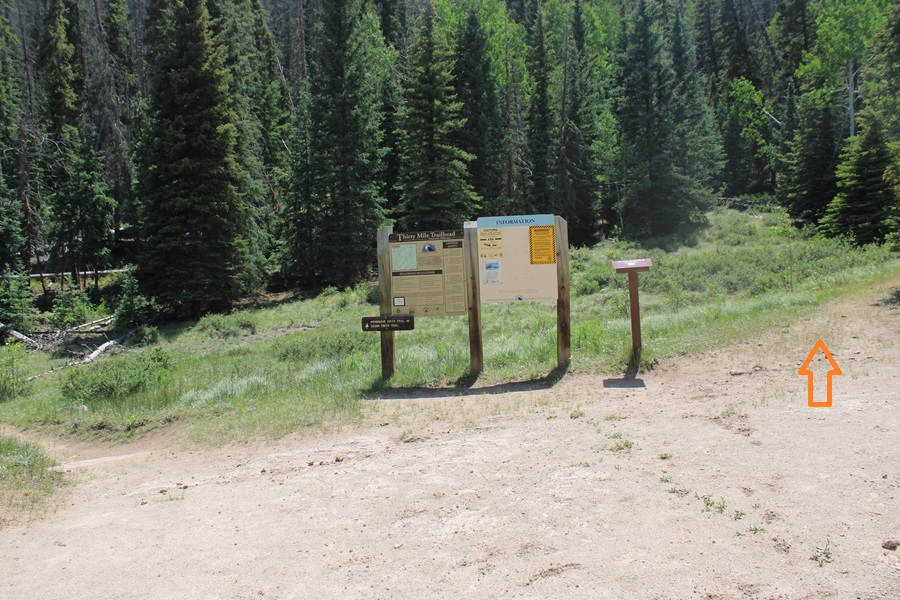
After hiking for a short distance you’ll come to a trail register. Here you have two options: Squaw Creek Trail to the left, or Weminuche Creek Trail to the right. Take the trail to the right.
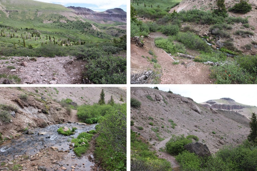
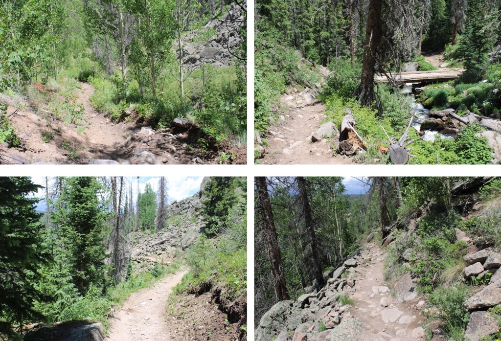
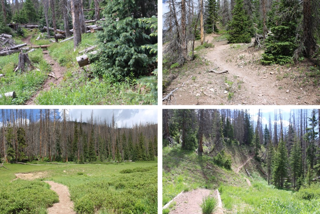
I followed Weminuche Creek Trail (818) for a total of 7.25 miles. This trail starts off by skirting the south side of Rio Grande Reservoir
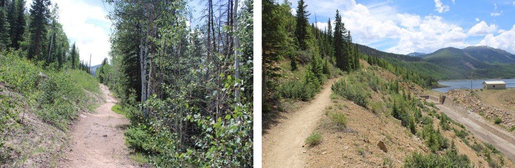
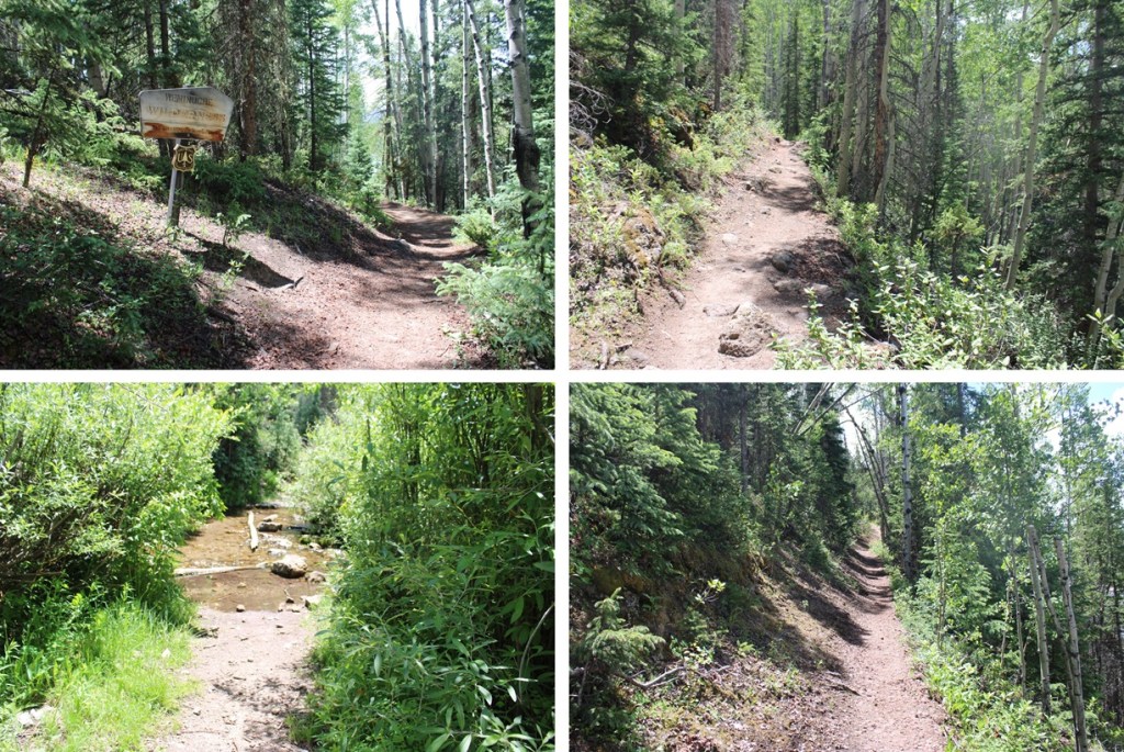
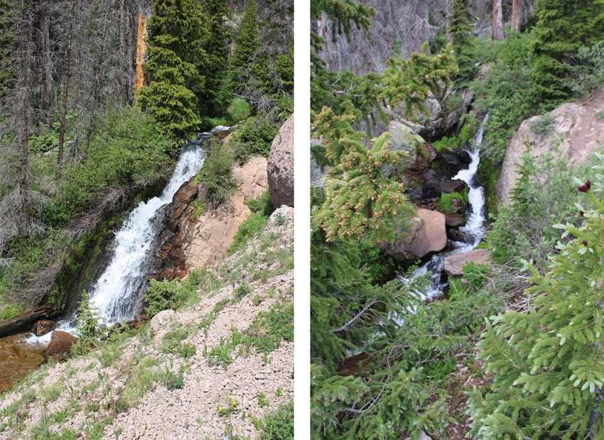
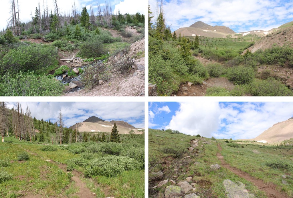
Then the trail goes through a rocky section before crossing a waterfall. The waterfall is about 2 miles into the trek.


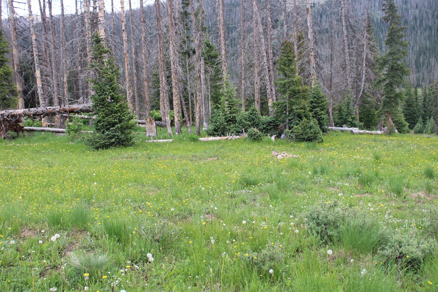
After the waterfall, there was a quick uphill section that would bring me to a large gulch, sprinkled with sections of hiking in the trees and small creek crossings. I followed the trail southwest for another 5 miles.

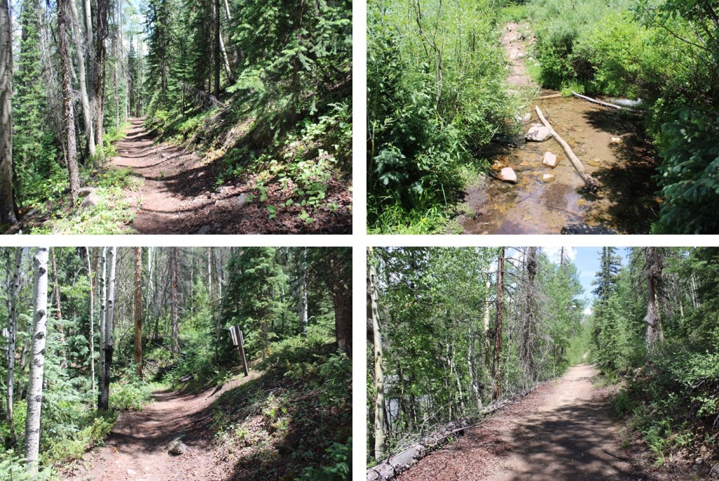
Just after this post (which indicates the cutoff for the Opal Lake Trail, which I wouldn’t recommend taking, as it will lead you through bushwhacking adventures to the murderous willow section), there are some nice camping spots to the left, should you want to camp here. There’s a fire ring, and the ability to filter water.
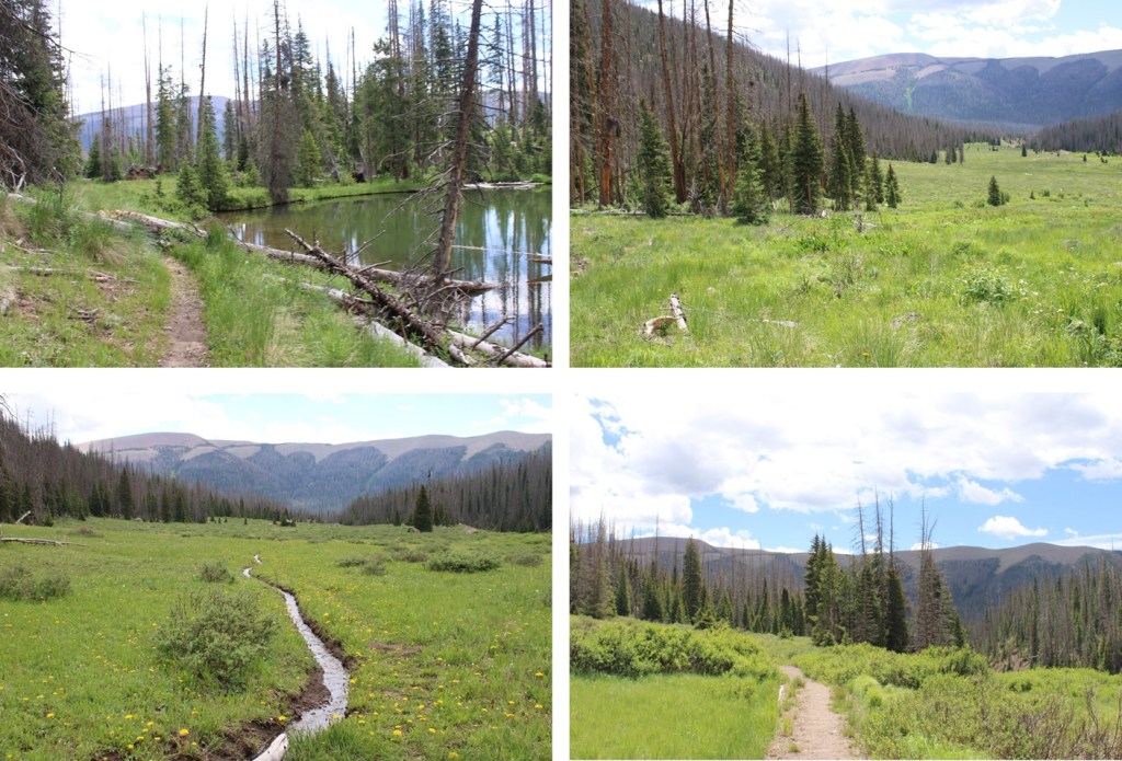
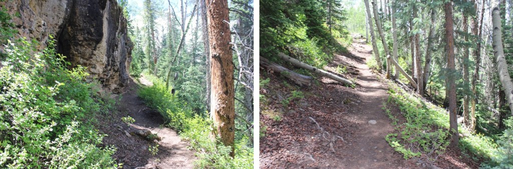
I continued on the Weminuche Trail, always staying to the right of Weminuche Creek.
After hiking for a total of around 7 miles, I came to the cutoff for the Continental Divide Trail. Here I went right, onto the Continental Divide Trail.
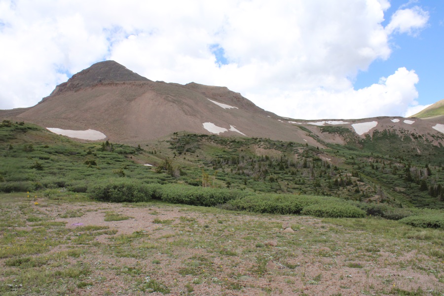
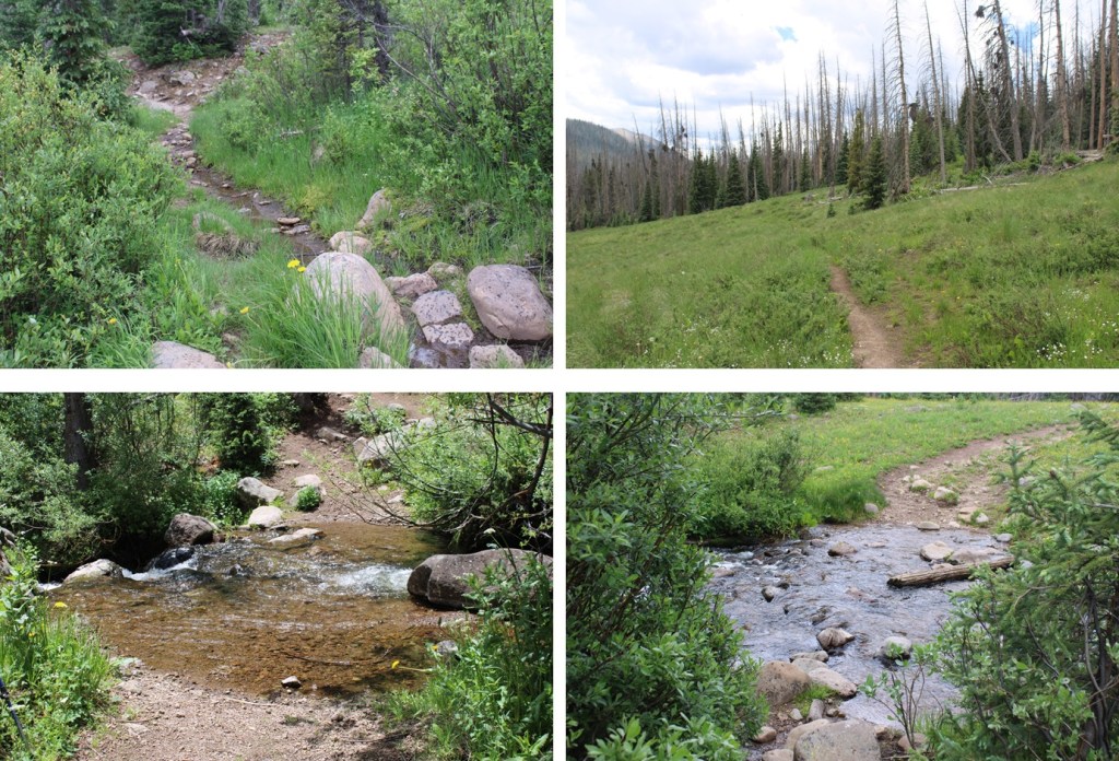
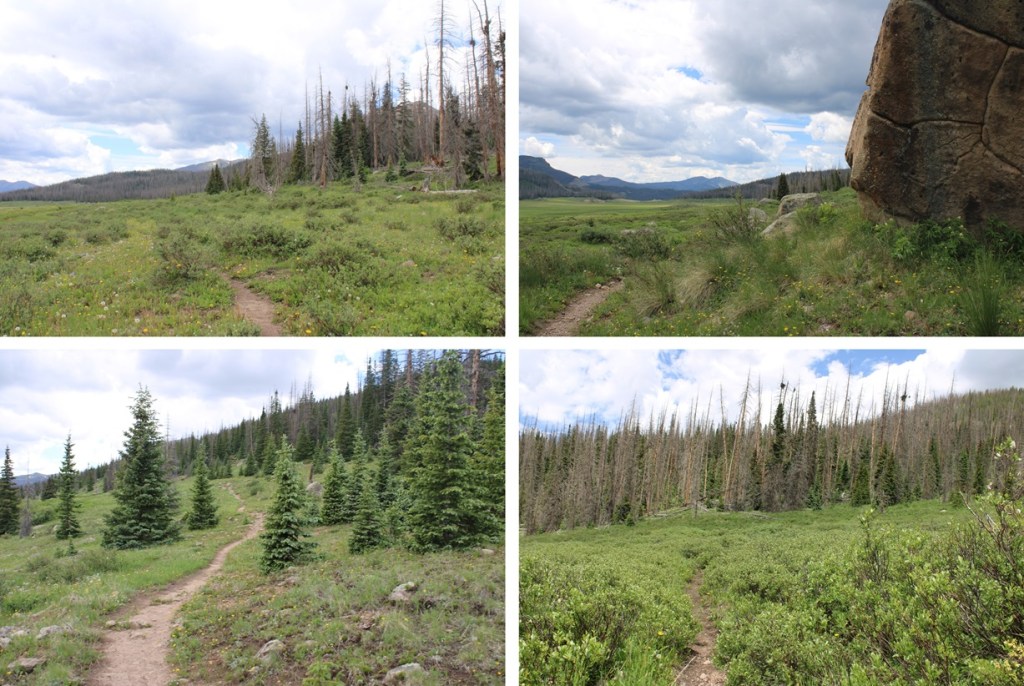
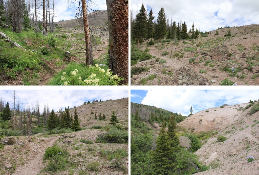
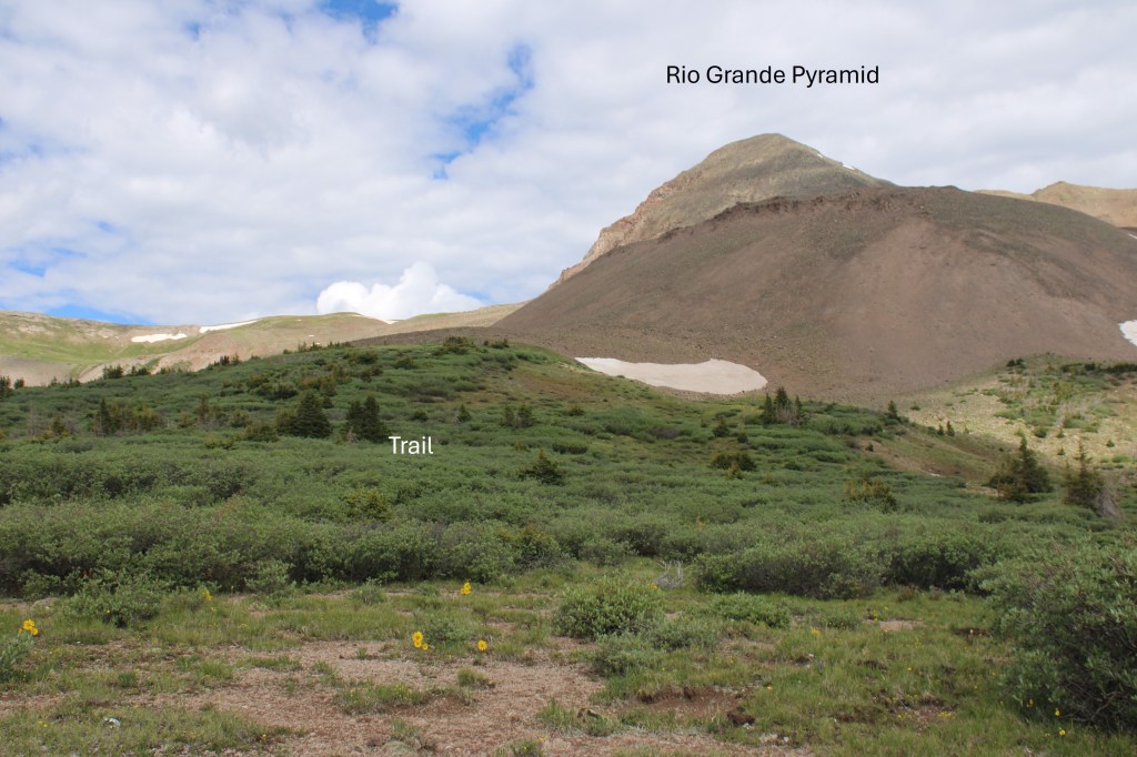
This is where the fun (elevation) begins. For the next 3 or so miles it was uphill all the way, across meadows, around ponds, through trees, beside waterfalls, and through rocky areas. From the very beginning you can see Rio Grande Pyramid to the northwest. Just keep heading that way.
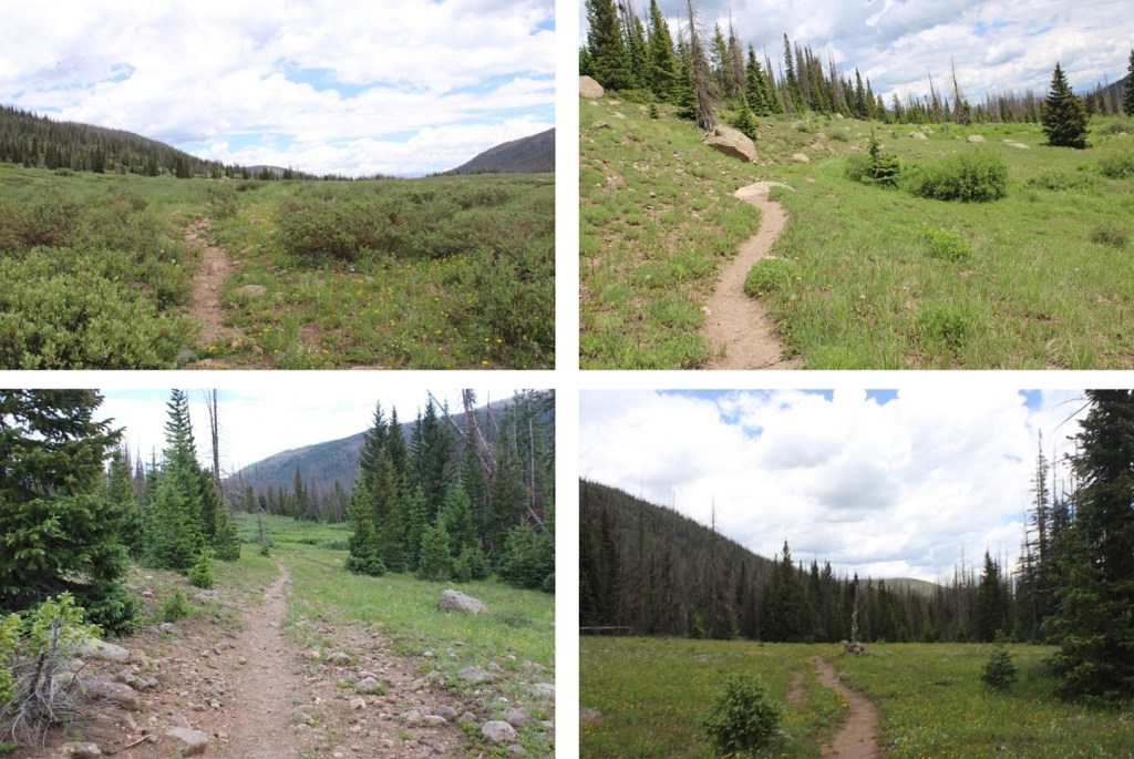
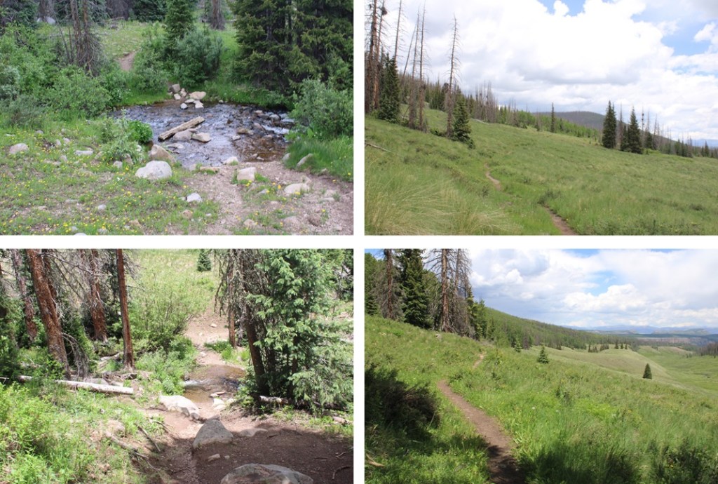
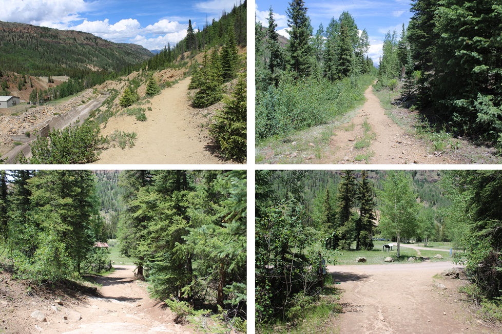
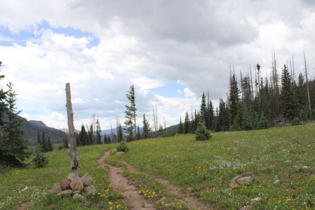
Here are some pictures of my way towards treeline
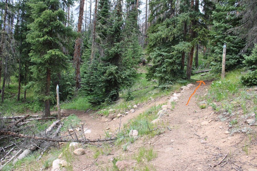
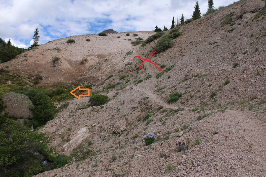
Just before treeline I came to a sandy area. I’d been here before. Make sure you take the trail to the left, across a small creek, and DO NOT take the sandy trail that goes straight. This will lead you into the willows.
I crossed the small creek, and followed the trail for about another half mile, to about 12210’ of elevation.
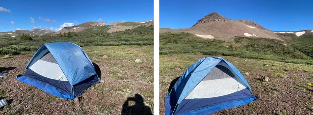
Here there was a willowy area to the left, and a few yards away, plenty of camping space. The camping area are hard to see from all those willows, but trust me, they’re there.
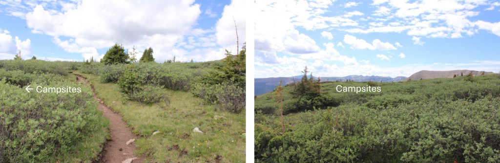
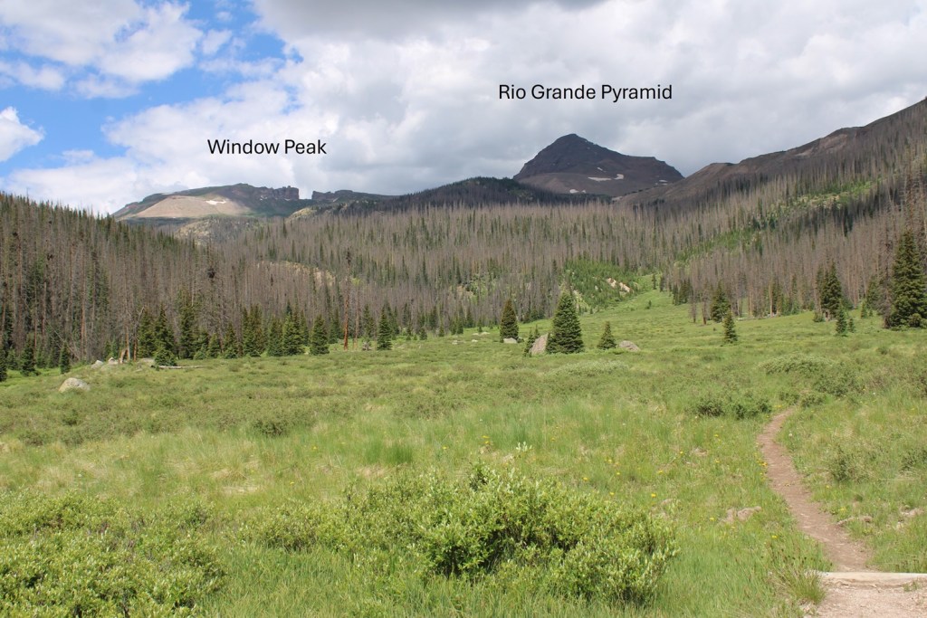
From my campsite, here’s my view of Rio Grande Pyramid. The trail is in those willows.
From here you’re at a great base area to climb 13022, Window Peak, Rio Grande Pyramid, Fools Pyramid, 13274, and various other peaks in the area. Here’s a topo map of the route thus far:

And now some pictures of the way out: