PT 13155

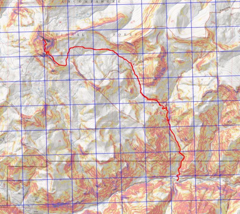
RT Length: 13.8 miles

Elevation Gain: 3800’

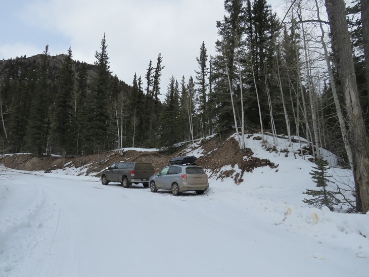
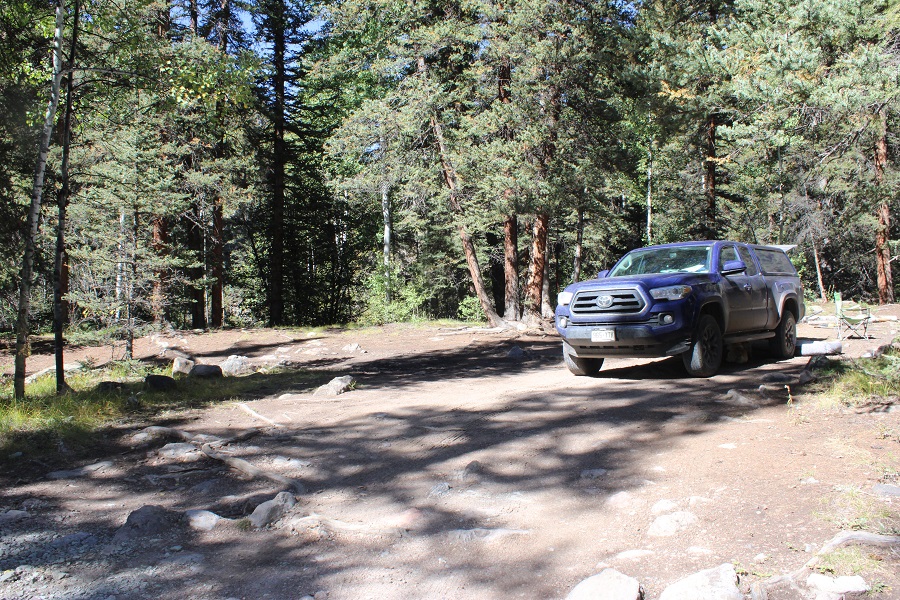
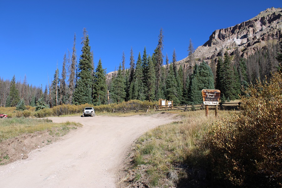
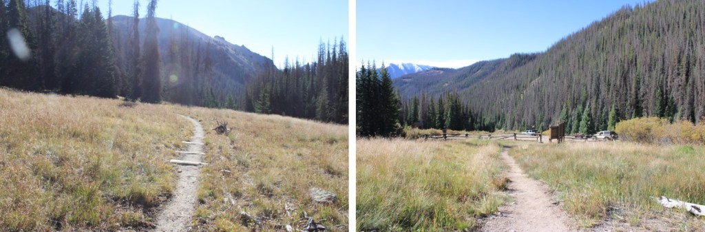
I started this hike from the lower Nellie Creek Trailhead at around 9400’.  There are several dispersed camping sites in the area, and it’s a good place to park if you have a 2WD vehicle.  I have a 4WD vehicle, but I’ve found it’s no fun passing others on this road, so I chose to park down below.

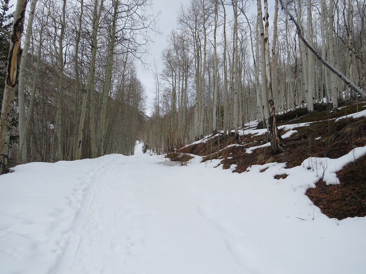
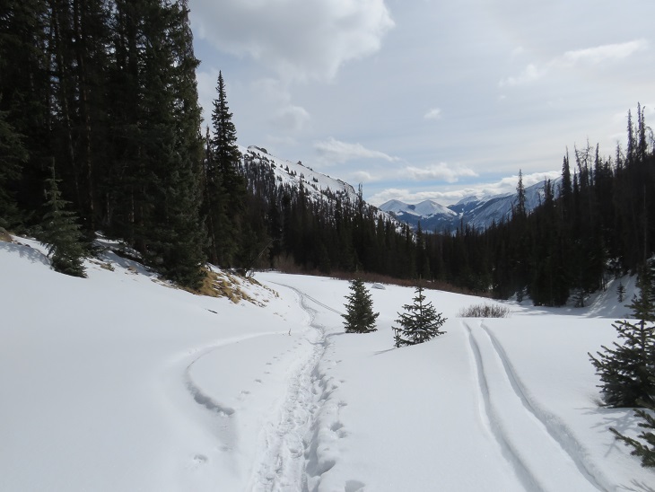
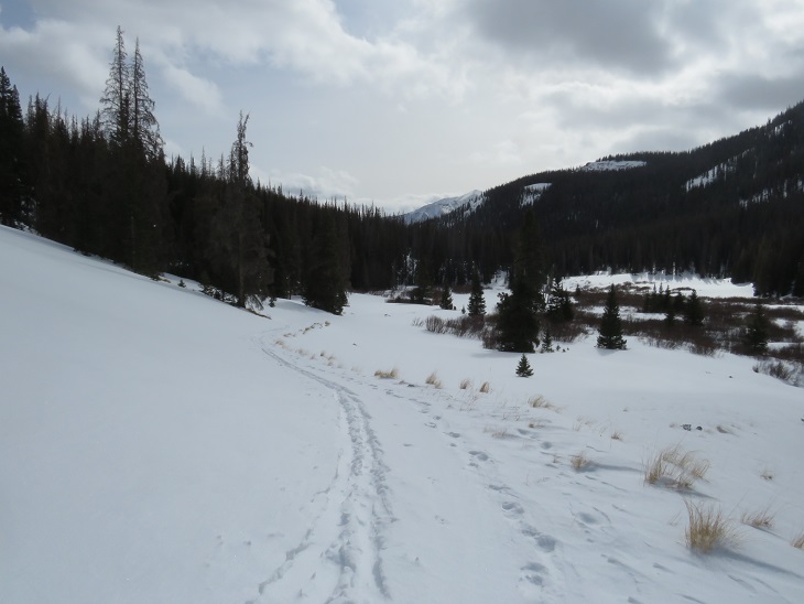
I was on the trail at 5am, following the road as it headed north.

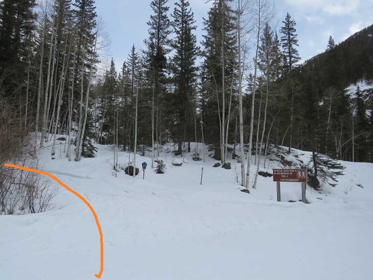
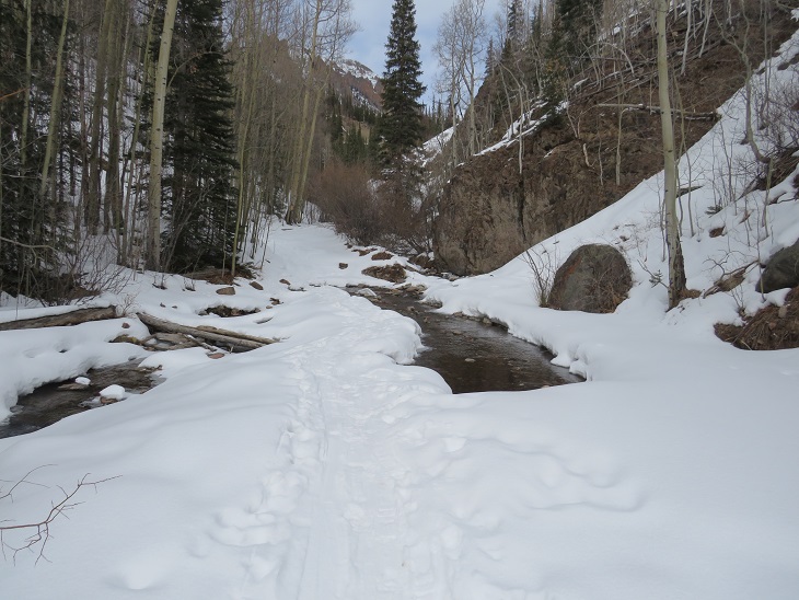
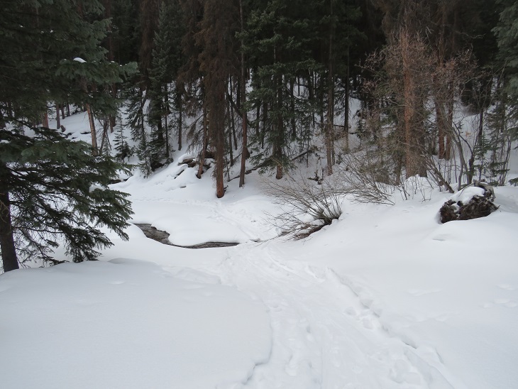
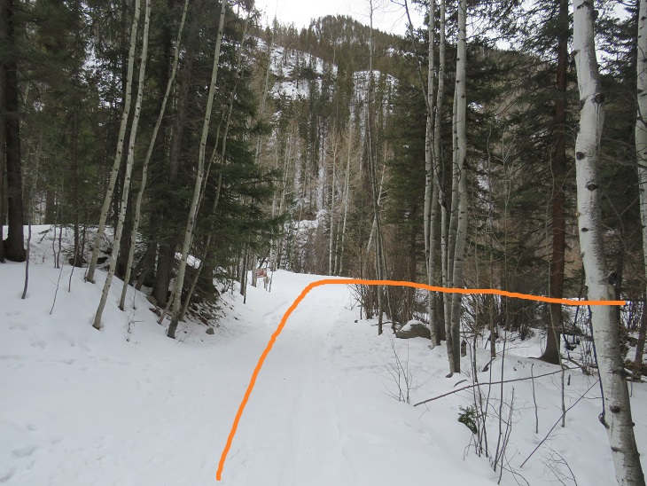
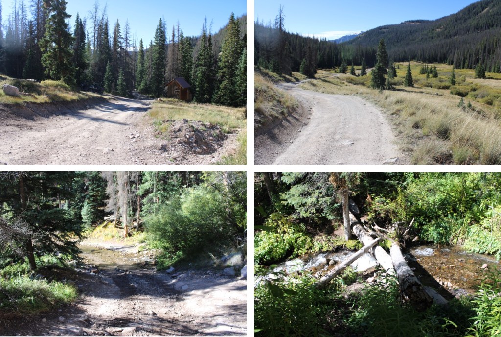
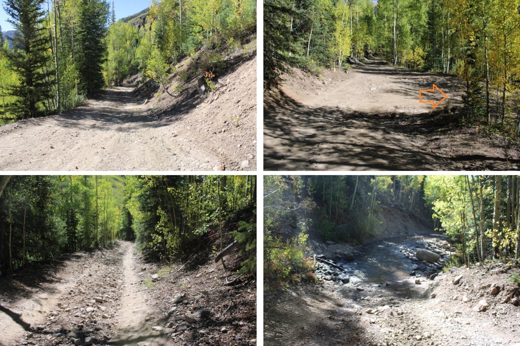
At the first creek crossing I crossed to the right

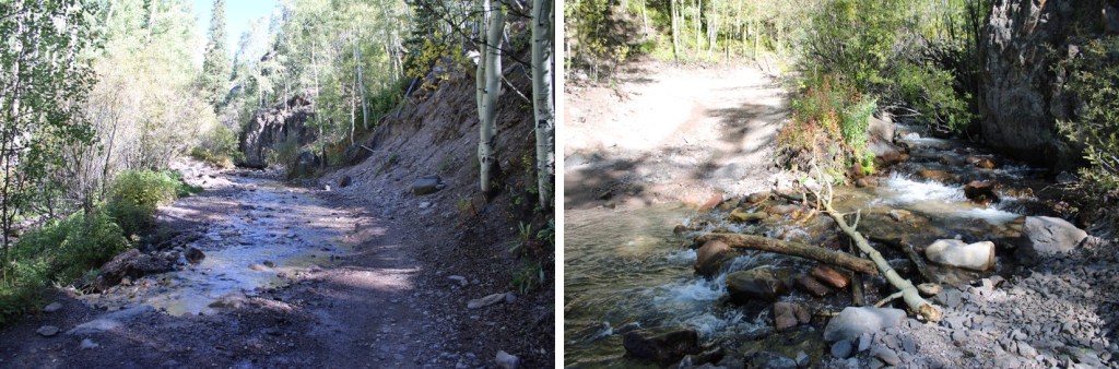
And when I hit a fork in the road I turned left

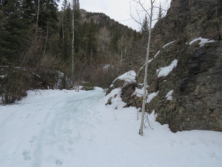
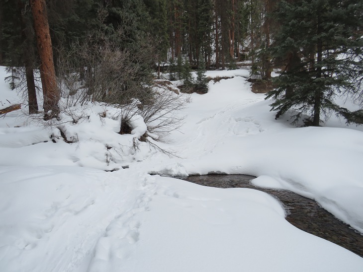
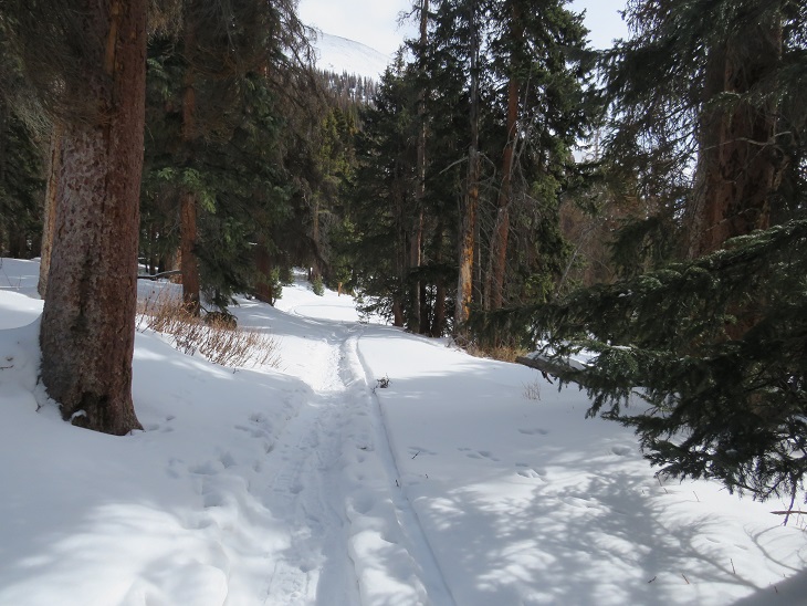
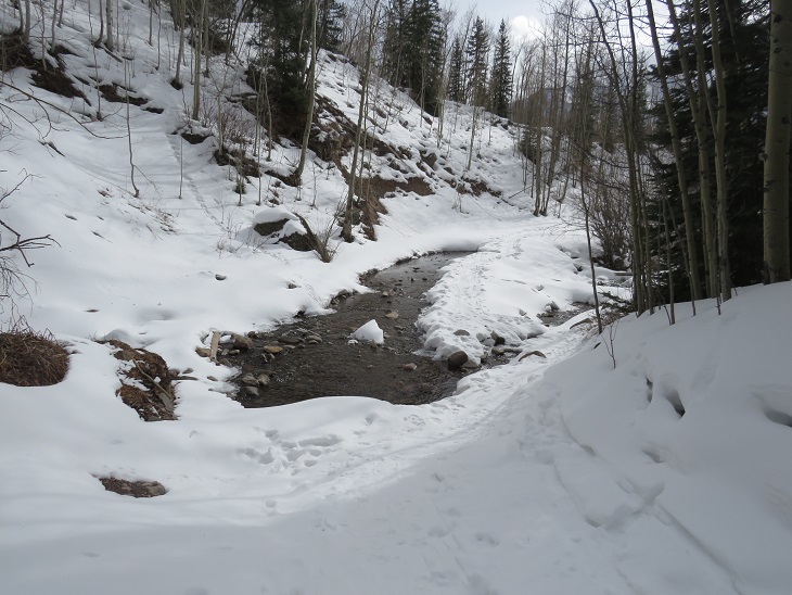
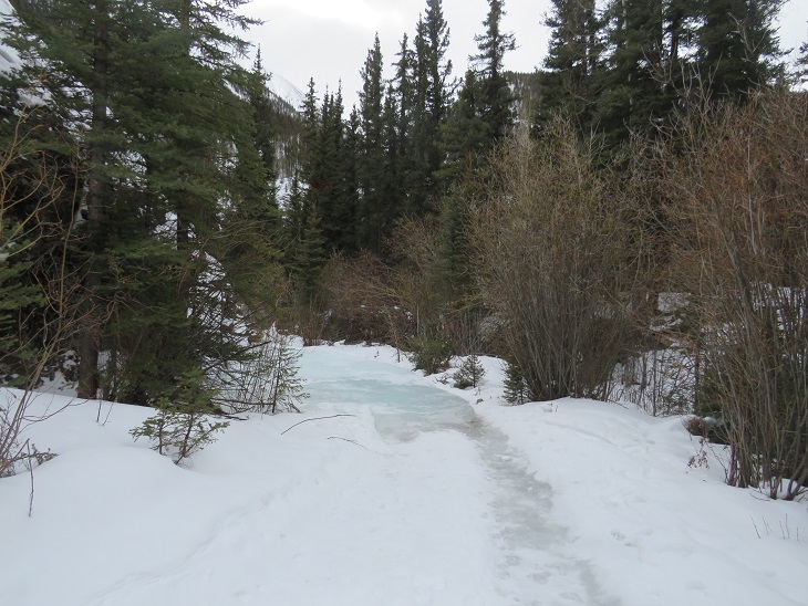
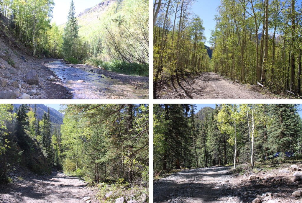
Then continued following the road to the second creek crossing, where I crossed on some logs to avoid getting wet

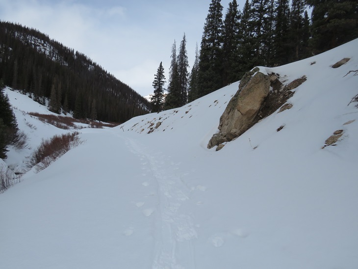
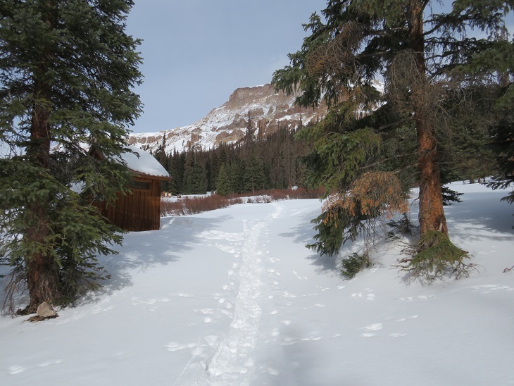
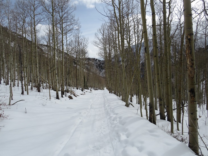
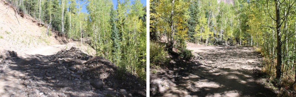
I continued on the 4WD road towards Nellie Creek Trailhead.

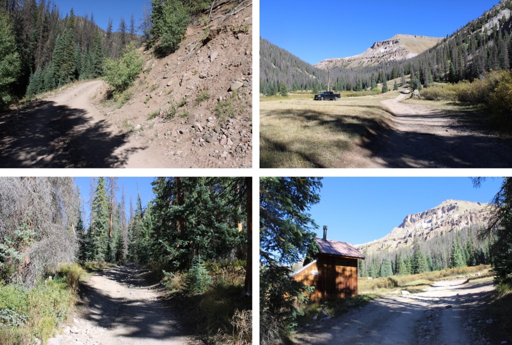
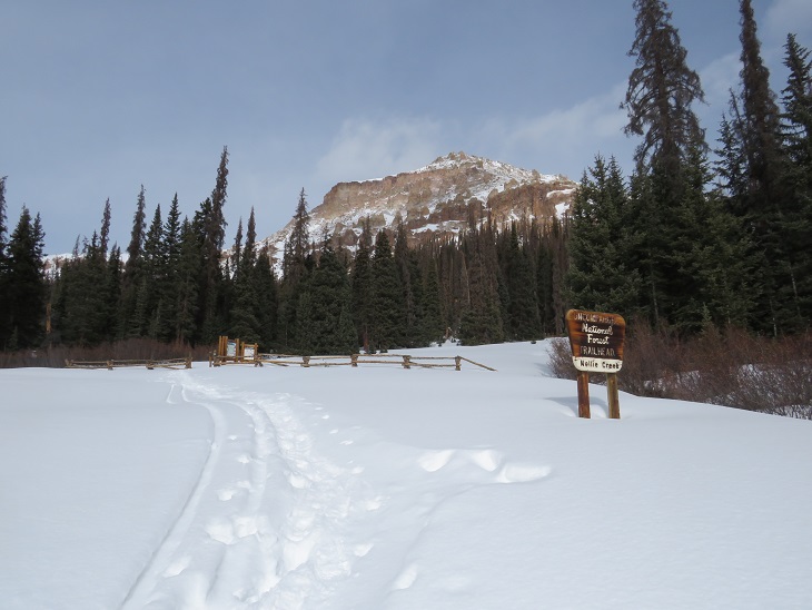
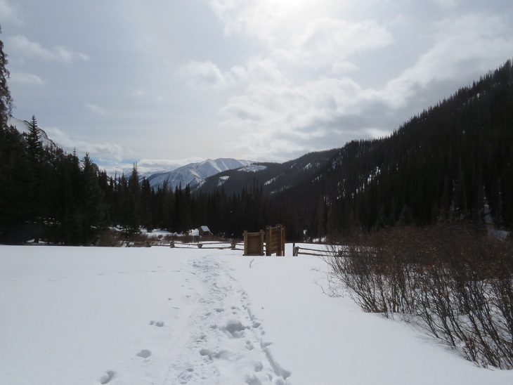
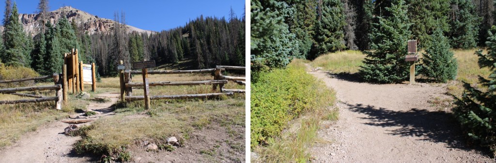
After hiking for a total of just over 4 miles, I made it to the trailhead. 

I followed Uncompahgre Peak Trail 239, a well-established, class 1 trail.

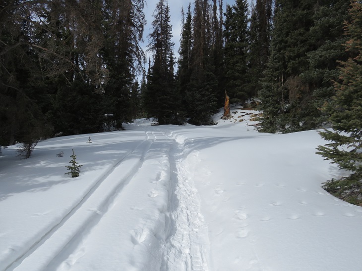
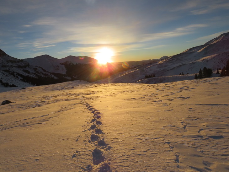
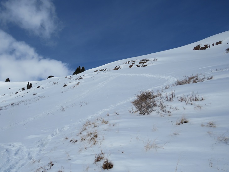
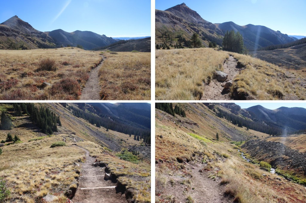
I followed the trail as it wound it’s way above treeline

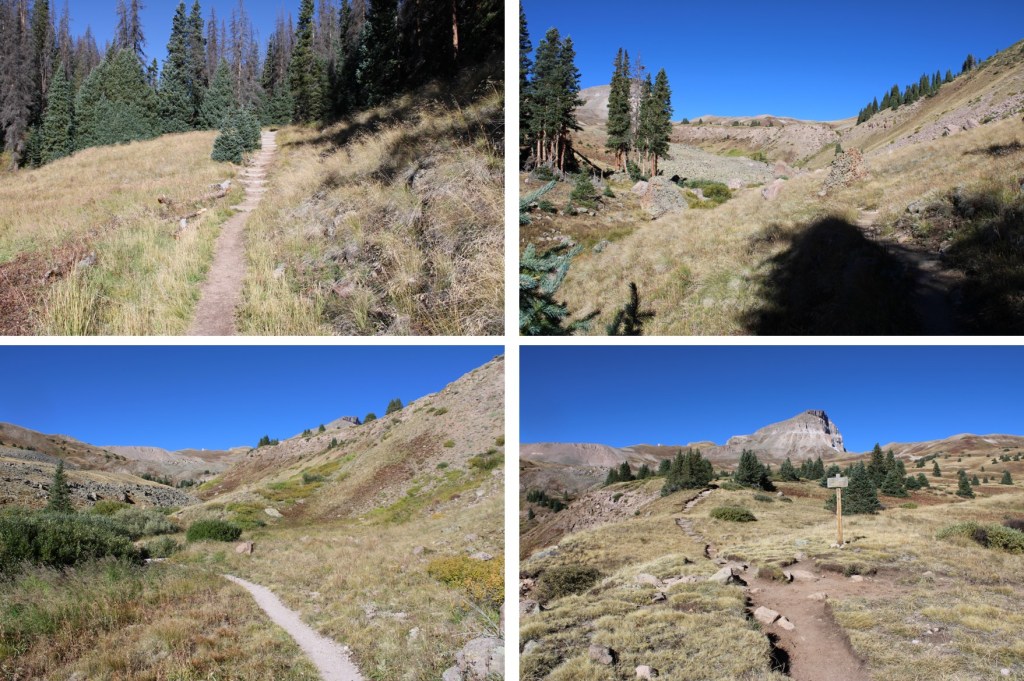
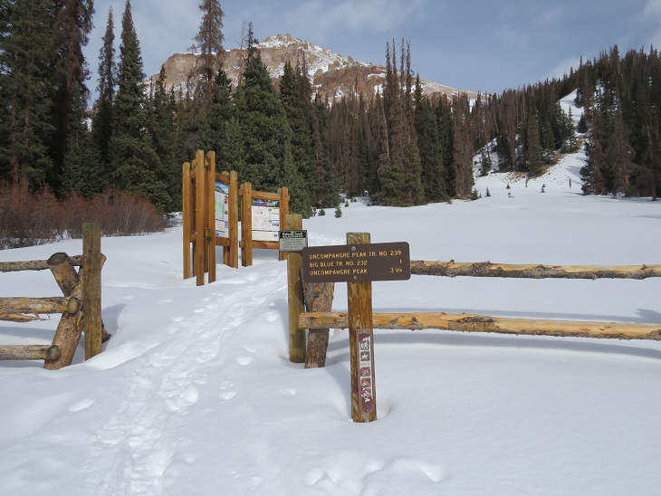
At the junction for Uncompahgre Peak and Big Blue Creek I stayed left, and headed towards Uncompahgre. 

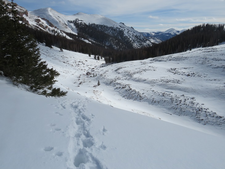
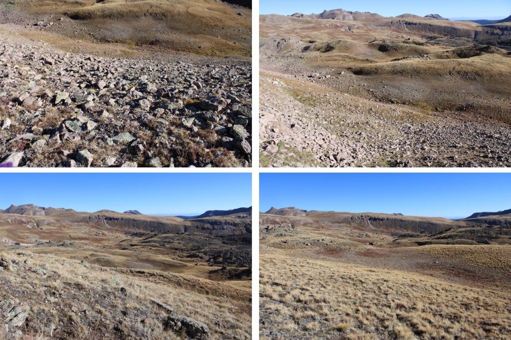
The trail was still easy to follow.  This is a good time to notice the drainage/creek to the left

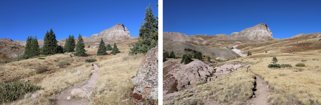
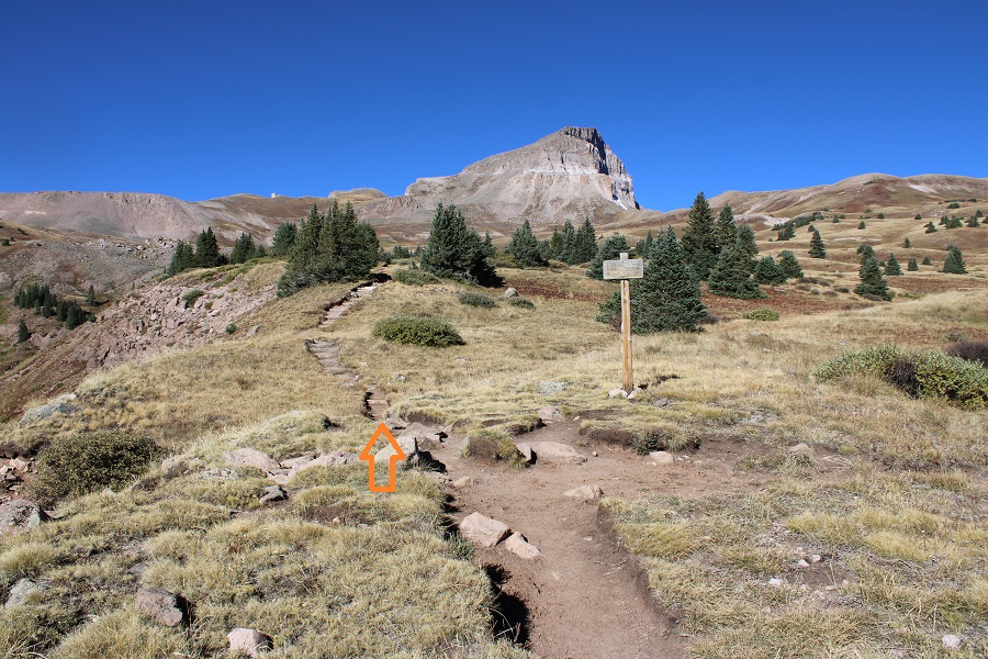
I looked for a low spot on the trail, left the trail, and crossed the drainage.  I was initially headed here.

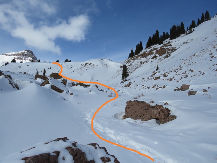
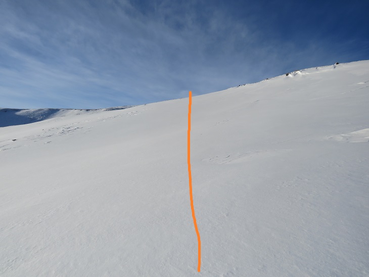
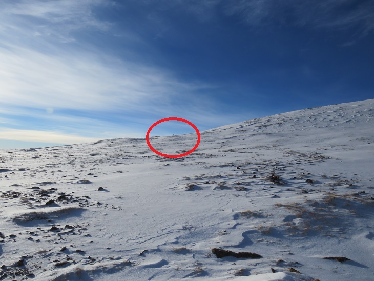
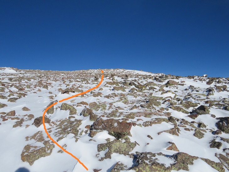
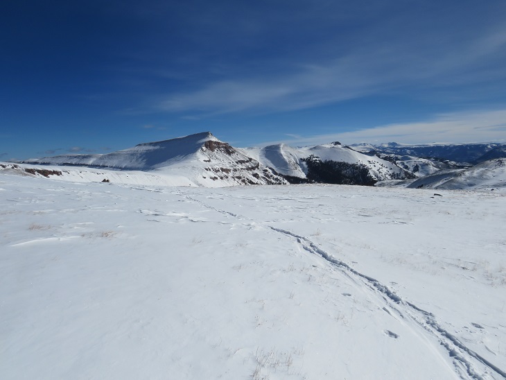
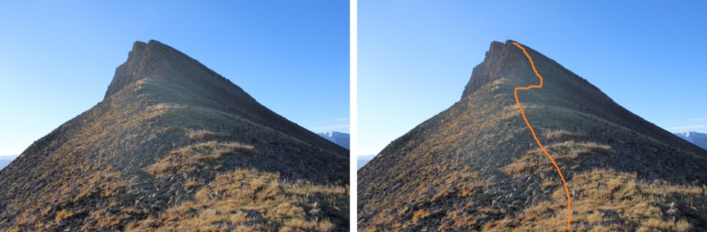
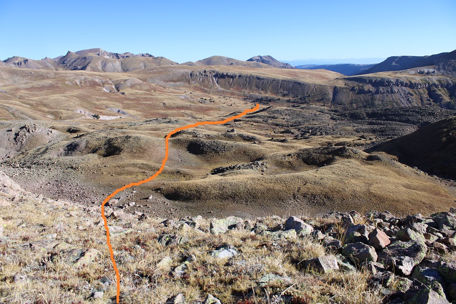
Now the fun begins.  You’re going to want to stick to the ridge to the left, but don’t do that unless you want a lot of ups and downs.  Instead, head straight up through the middle of the basin here

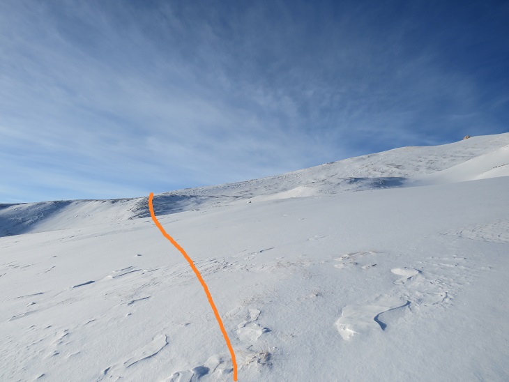
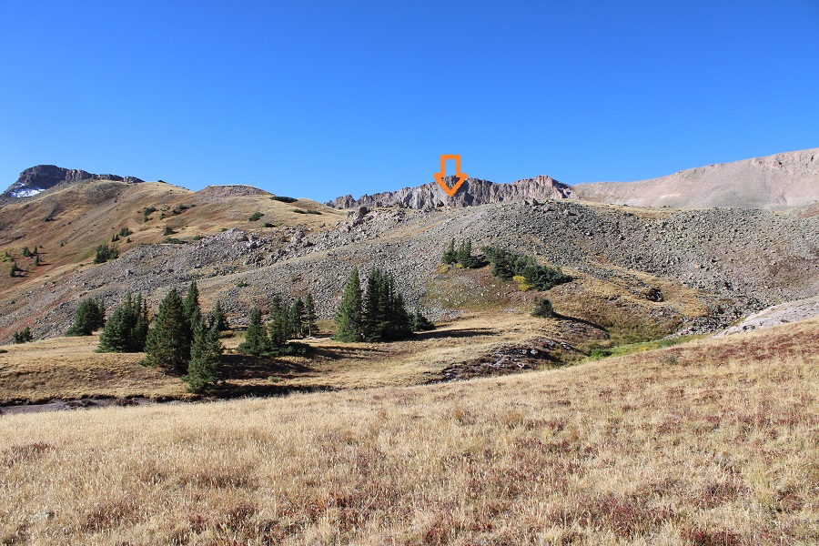
I was heading towards the low point in the ridge

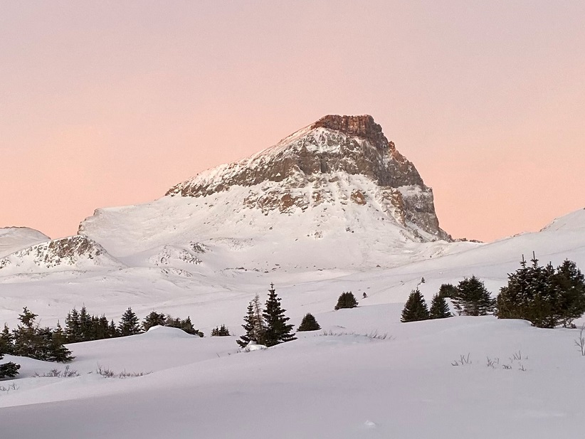
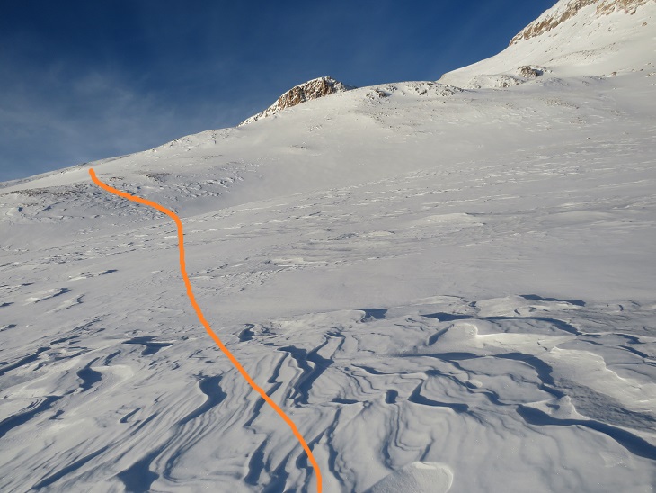
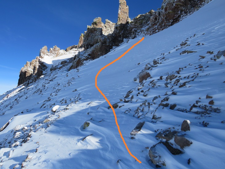
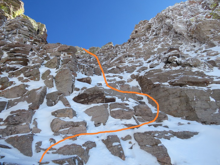
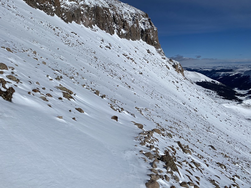
This is a headwall usually filled with snow.  In fact, this was my second attempt at this peak because I was here much earlier in the year when it was filled with snow, and without my ice axe, it was unclimbable.  Even without snow, it’s steep, but firm (no scree).

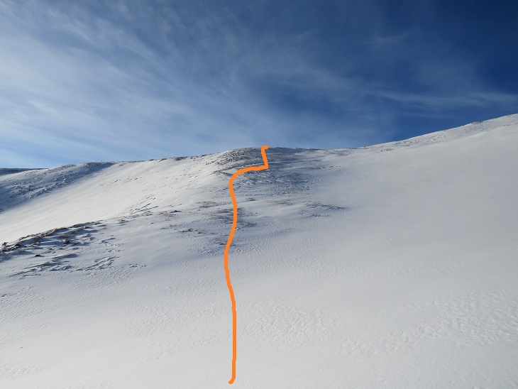
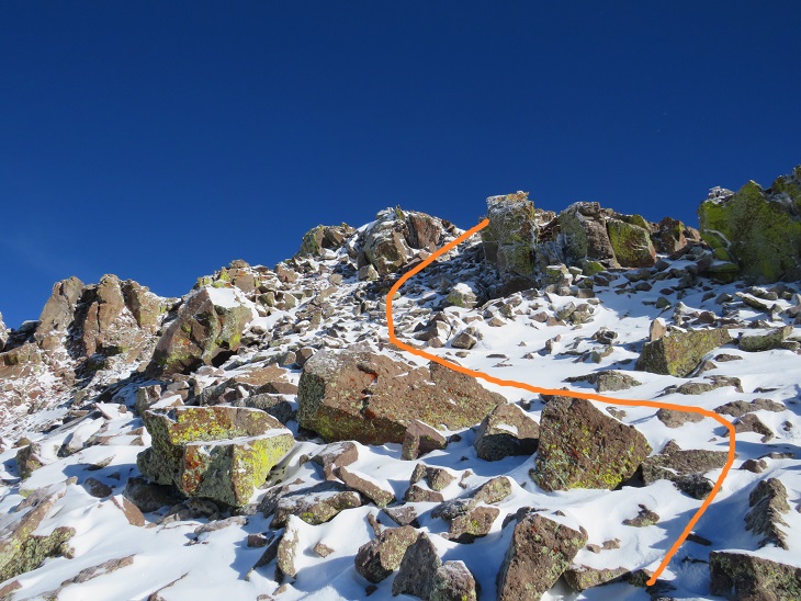
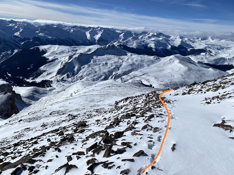
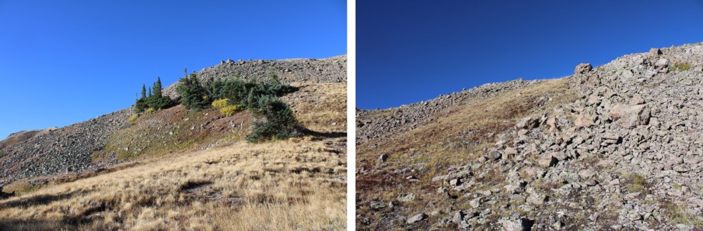
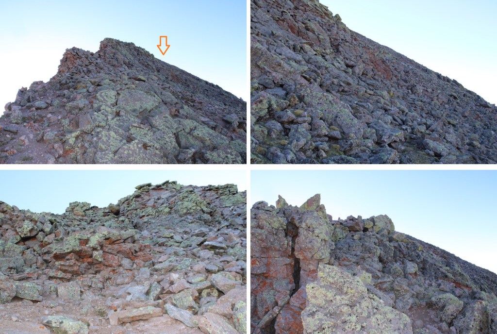
Once on top of the ridge I turned left, and headed towards the summit.  At first it was on tundra, but that changed as I headed towards the summit.

The terrain here was full of loose rock.  It looked like class 3 in the beginning, but I found if I stuck a little lower to the right I could keep it class 2 and regain the ridge.  There was minor scree to contend with. Here’s an overall view of the route to re-gain the ridge. 

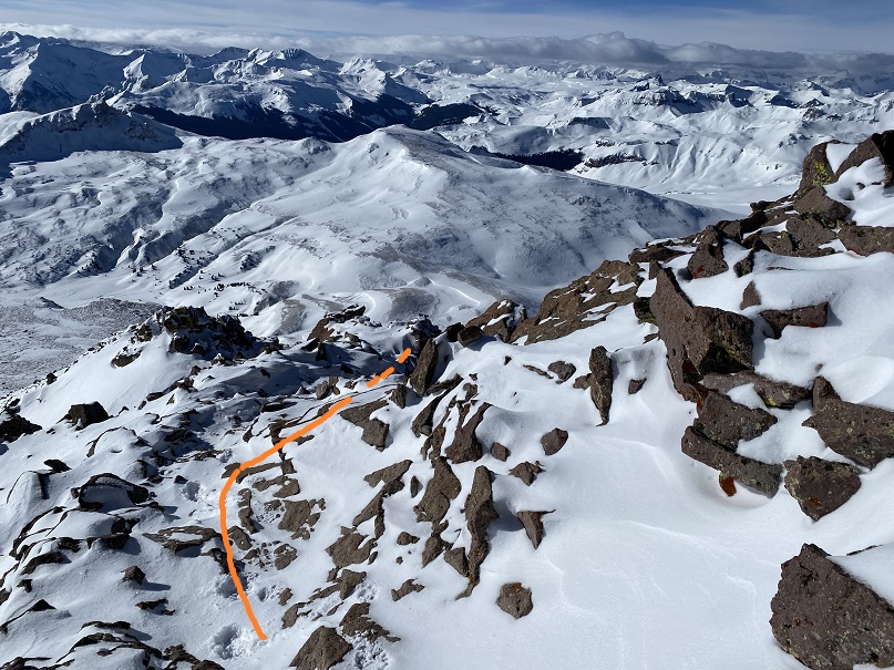
Back on the ridge, I followed it to the summit. This was all class 2.  This is where the wind picked up.  While it was a sunny morning, it was very, very cold, with 25mph winds.

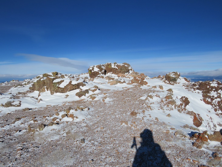
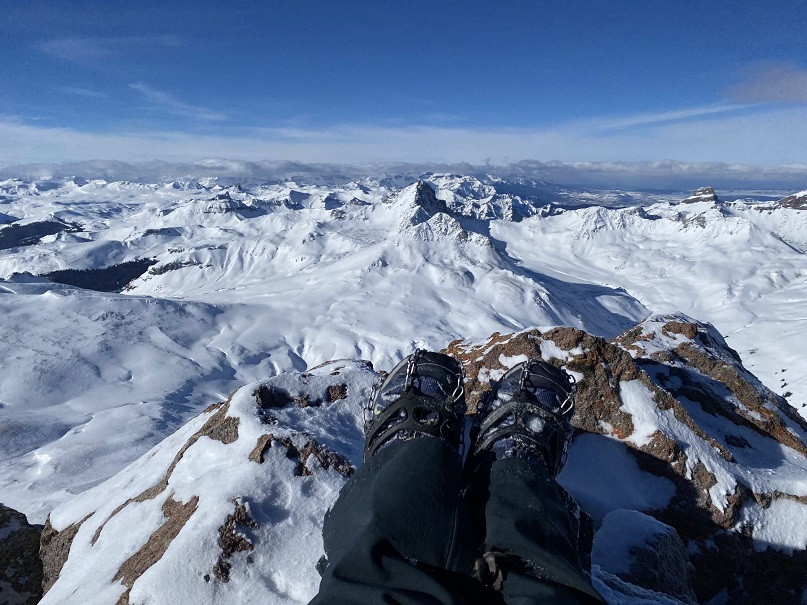
I summited PT 13155 at 8:20am

PT 13155:

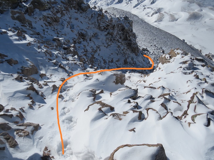
I headed back the way I came, down the ridge towards the saddle

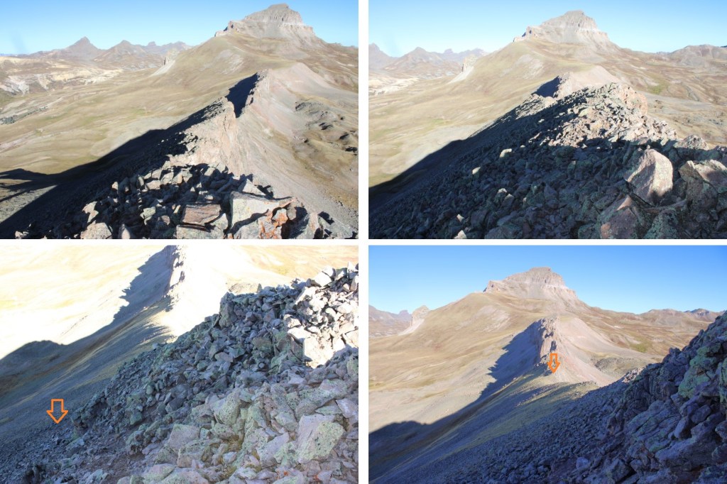
Just before making it to this large block I turned right, and headed back down the headwall

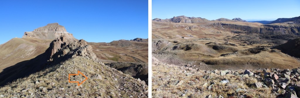
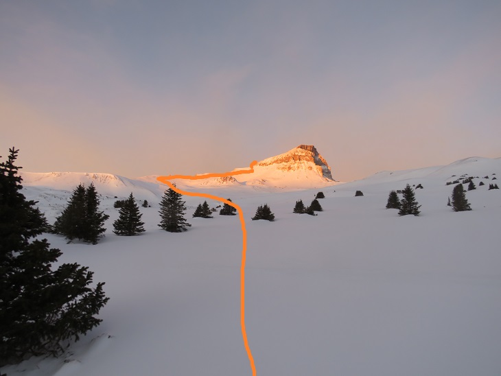
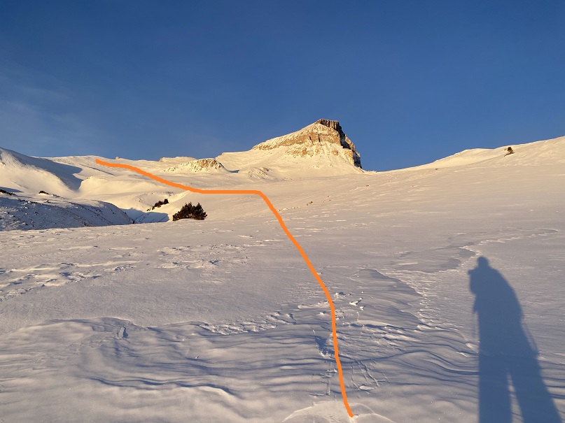
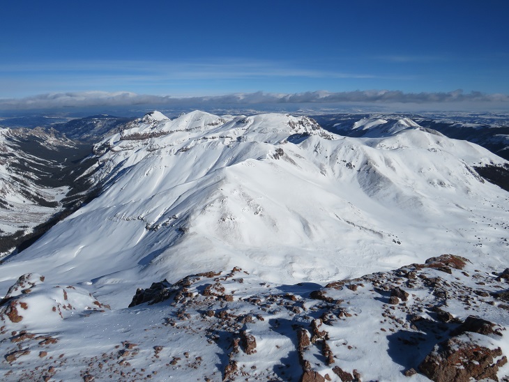
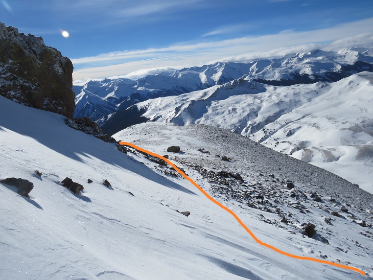
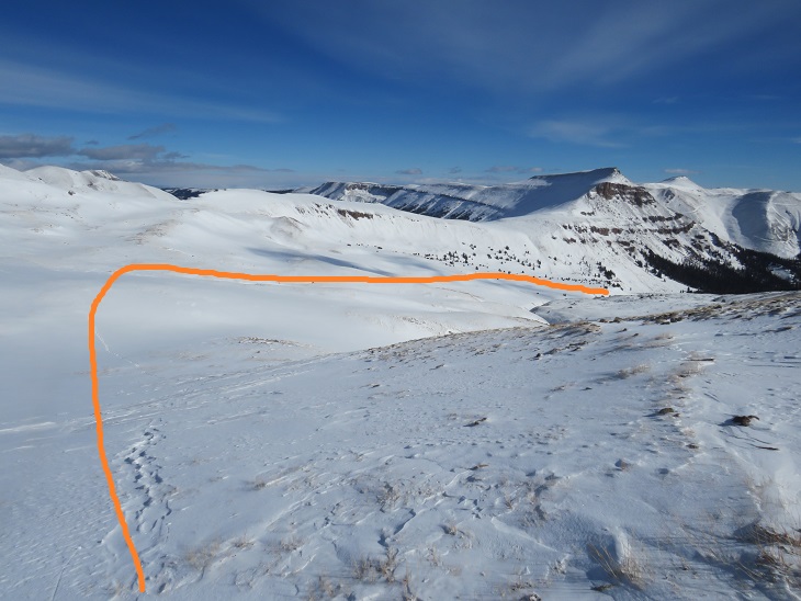
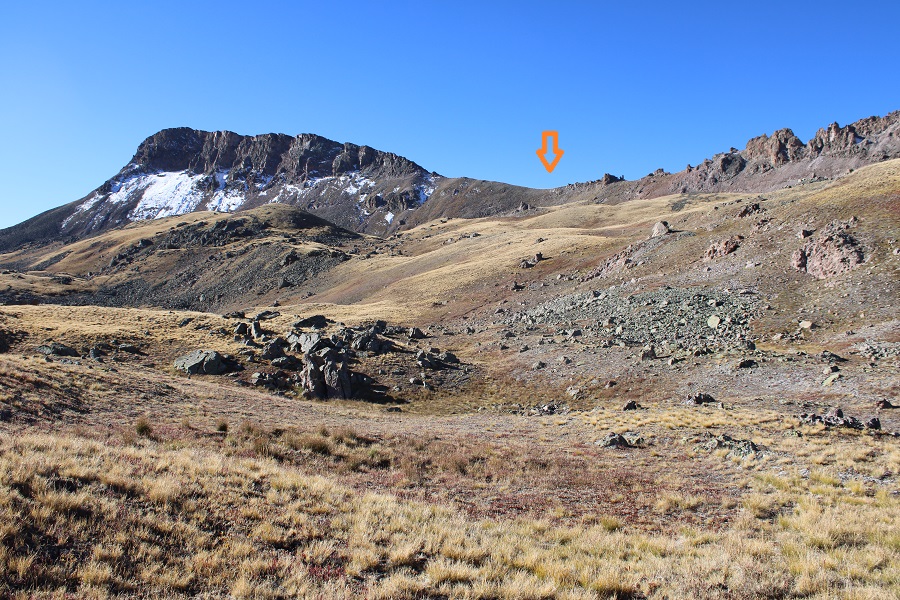
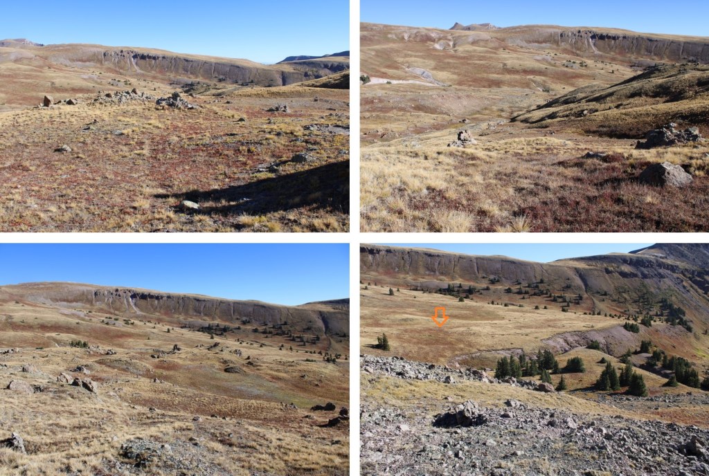
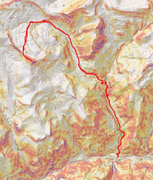
Here’s an overview of my route in and out of the basin.  Notice the rocky areas I avoided.

And some pictures as I made my way through the basin and back to the trail

Back on the Uncompahgre Trail, I followed it back to the Nellie Creek Trailhead

I then followed the 4WD road back to the lower trailhead

I made it back to my truck at 11am, making this a 13.8 mile hike with 3800’ of elevation gain in 6 hours

On to the next trailhead!

Uncompahgre in Winter – 14,309

RT Length: 16.42 miles

Elevation Gain: 5068’

This was a last-minute decision.  I left the house at 10:30pm and made it to the trailhead by 4am, after a rather tricky/slick/whiteout conditions drive over Monarch Pass (note to self:  check the weather along the route, not just for the peak you’re climbing).  I also had a gas station mishap in Gunnison (long story) so my truck smelled like gasoline when I parked.  I was pleasantly surprised to find CR 20 nicely plowed from Lake City.  There was 1 other vehicle at the trailhead, and only room for 2.

The other vehicle looked outfitted for sleeping, and there were window coverings on the windows, so I wasn’t sure if there was someone sleeping inside.  I tried to be quiet as I hit the trail at 4:30am.  This is the lower trailhead, so I followed the 4WD dirt road (now packed with snow) for 4 miles to the upper trailhead.

There was some ice on the trail, but it was mostly an easy road to follow

And here’s a look at the stream crossings.  There were snow bridges over the water, and you could hear water flowing under the snow.

I was still hiking in the dark when I saw a flashlight behaving erratically up ahead.  As I got closer, I realized it was a skier.  My flashlight was acting funky, so I couldn’t see him clearly, which was good, because he told me he was changing his pants (putting on warmer ones).  His name was Paul and he sounded like he was in his 20s.  He said he’d “see me up there” and I continued on. 

From this point it was clear he’d been trenching with his skis, but even so, I didn’t need to put on snowshoes until I made it to treeline.  I continued hiking along the road

I made it to the upper trailhead and the bathroom (I didn’t check to see if it was open, but it looked like there were game trails leading up to the door)

This is where the trail got ‘iffy’.  There was no longer a trench, but if I strayed from the old trench I’d sink up to my waist in snow.  I put on my snowshoes and only postholed every 30 steps or so.   Here’s the upper trailhead

From the upper trailhead the trail heads northwest to treeline and then through willows.

Once at the willows I had to gain this small ridge.  This was easier to do in the morning than in the afternoon (pics of my glissade route later).  Here’s my path

Just as I made it up this ridge the sun began to rise.  I had a great view of the sunrise over Uncompahgre

And looking back

There was no trench here, nor any sign of a previous one, so I got to make my own.  Here’s my basic path

And step by step.  Lots of trenching, but pretty straightforward.  Your goal is to gain the ridge.

You’re aiming for this sign on the ridge.  There are a lot of these signs in the area, all saying to be careful of vegetation, so make sure you aim for the one obviously on the ridge.

Once on the ridge, I turned right and followed a faint trail northwest.  The snow on the switchbacks was a bit sketchy.

I gained the ridge again and traversed a short distance along the backside, looking for a short gully to climb

I took off my snowshoes at the gully and climbed up, carrying them (bad idea)

At the top of the gully I found cairns and a trail that wound back to the east side of the mountain to the summit, so I stashed my snowshoes and kept going.

I walked back and forth all along the summit to make sure I hit the actual summit. The summit is towards the middle… the pictures were better towards the west though.  Also, usually when there’s a lot of snow I can see herds of animals, or at least their tracks in the basins below or on the ridges.  No tracks today, so they’re all probably below treeline now.

It was a long drive back home, so I turned and retraced my steps

I made my way back to the gully and found my stashed snowshoes.  I seriously wished I’d stashed them below the gully, but because I wasn’t sure of the conditions above I’d brought them with me.  I carried them gingerly in my left hand as I headed down

At the bottom of the gully I put my snowshoes back on and kept them on for the remainder of the hike.  I turned left and followed my tracks back to the ridge.

Once in the ridge I had some switchbacks to go down before following the ridge proper.  It had only been about an hour or so, but the tracks I’d made on my way in were already gone, so I got to make new ones.

Once down the switchbacks most of my tracks were still there, so I followed them back down the basin.  Side note:  From here I could see the skiers tracks, and the skier still in the basin below.  He’d chosen a different route to gain the ridge, and seemed to be stopping for lunch.  Since he was on skis I expected him to pass me on the way down.

This is where I ran into a little bit of trouble… The skier had gone over my tracks on his way in, and in doing so made them slippery as the sun warmed.  They’d turned into ice, and my snowshoes couldn’t grab onto my tracks.  The snow was too soft to make new tracks.  I tried to retrace my steps down, lost footing on the ice, and glissaded into the willows. The slipping wasn’t calculated, but the glissading was:  Once I’d started I quickly assessed the risks and just decided to keep going.

Here’s a look back on that short glissade

And now, to hike out.  The trench was still in place, so it was relatively easy.  Here are some pics.

I made it back to my truck at 1:30pm, making this a 16.42 mile hike with 5069’ of elevation gain in 9 hours.  I never did see the skier.  Here’s a topo map of my route

Also, on the way out there’s ice climbing!!!