4861’ – Spruce Knob, West Virginia
3662’ – Backbone Mountain, West Virginia
3360’ – Hoye Crest, Maryland
3213’ – Mt Davis, Pennsylvania
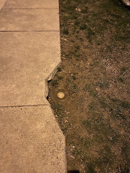
445’ – Ebright Azimuth, Delaware
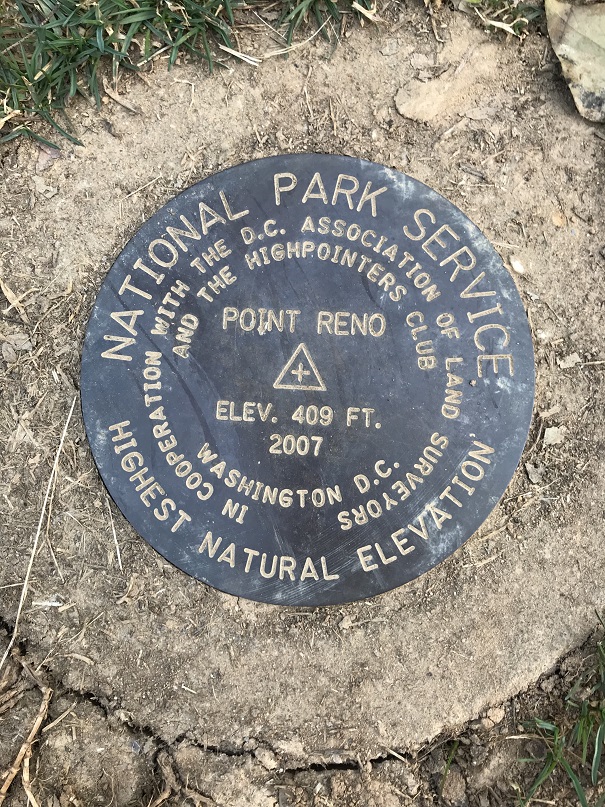
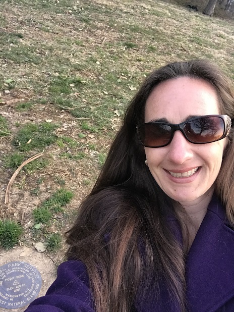
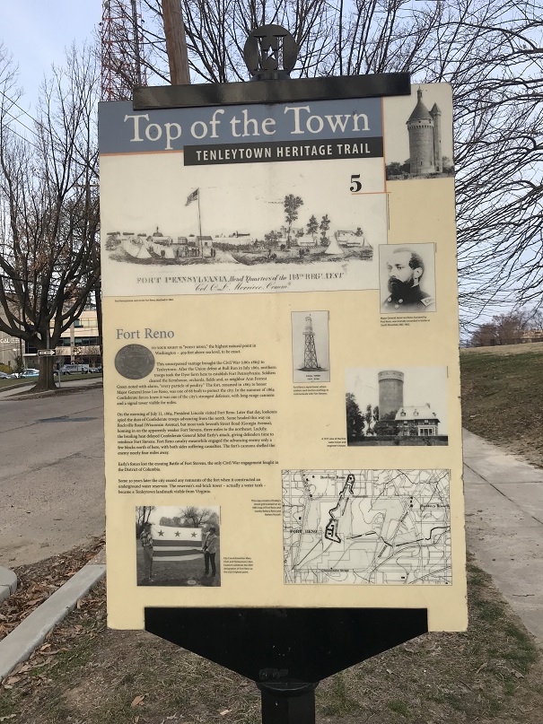
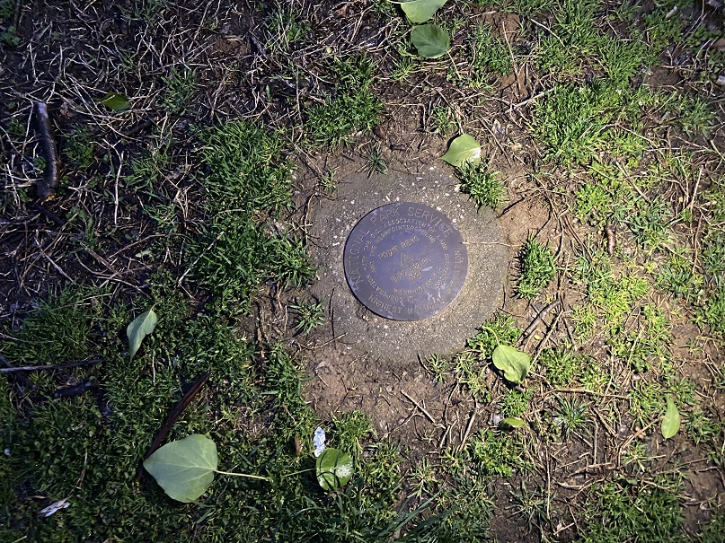
415’ – Point Reno, Washington DC
It’s been a while, but that doesn’t mean I haven’t been out hiking. I’ve had several failed attempts (due to the partner I was with or the forecast conditions being off… and one failed summit was due to an area that had too much avalanche activity for me to feel safe).
This trip had been planned for a while; we were going to arrive 2 days before the conference, drive around and hit a bunch of highpoints before the conference began, and then during the day I’d be at work and Steffen would see Washington DC (I’ve been there several times and didn’t feel I’d be missing out). At the last minute my organization cancelled the conference due to the Coronavirus.
I cancelled our flights, and as I was doing so Steffen asked what the cost was now that everyone was cancelling. Hmmmm. I looked it up: $45 to fly to Washington DC. We were intrigued. I’ve never seen a fare to Washington DC so low, especially during the Cherry Blossom Festival and Spring Break. We discussed the pros and cons of travelling right now. To be fair, there were a lot more cons than pros. We figured the plane would be pretty empty, and I checked out DIA’s policies and changes due to the Coronavirus. My main concern was social distancing and not interacting with other people. In the end we decided to book the flights, but not a hotel room: We’d rent a car and drive and sleep in the car, limiting our exposure to others.
Our flight left at 5am from Denver. Side note: on our way up to DIA someone was stalled in the right lane in the GAP project, and I was very, very close to hitting them. In my defense it was dark and there are no lights in this section, but it was super scary to be inches from hitting him, and the same with the semi behind me.
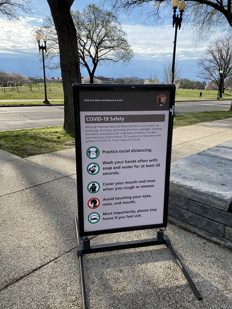
We parked at The Parking Spot and took the shuttle to DIA. We were the only ones on the shuttle except for the driver. She was very nice so I double tipped her (I’m sure she relies on tips and the lack of travelers must be hitting her hard). The airport was almost empty. There was no one in line at security and we breezed right through. Everyone was practicing social distancing, from standing in line waiting for the trains to sitting in chairs at the terminals.

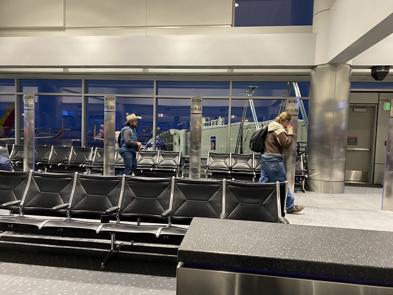
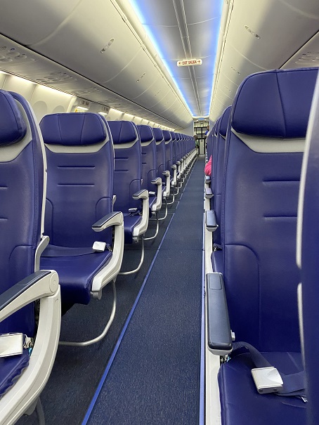
There were only 15 people on our plane, so social distancing here was pretty easy.
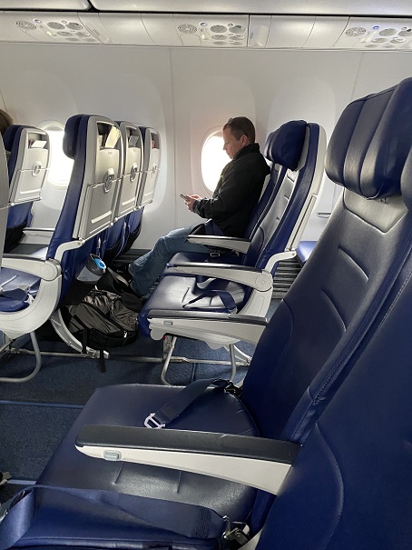
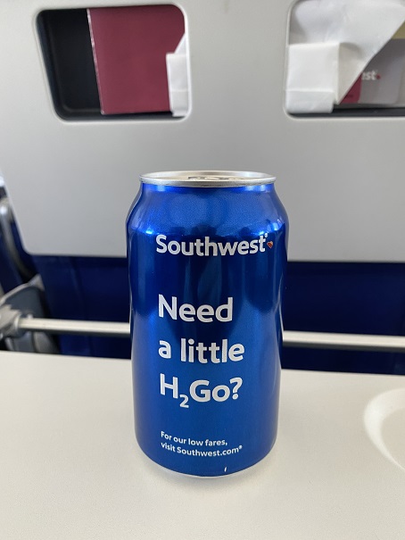
The flight attendants were overly nice and kept asking us if we needed anything. They were only allowed to give out water and snacks (no other beverages) and the water came in a can? The pilot came on and thanked us all for flying, and asked us to let our friends know they’re still open.
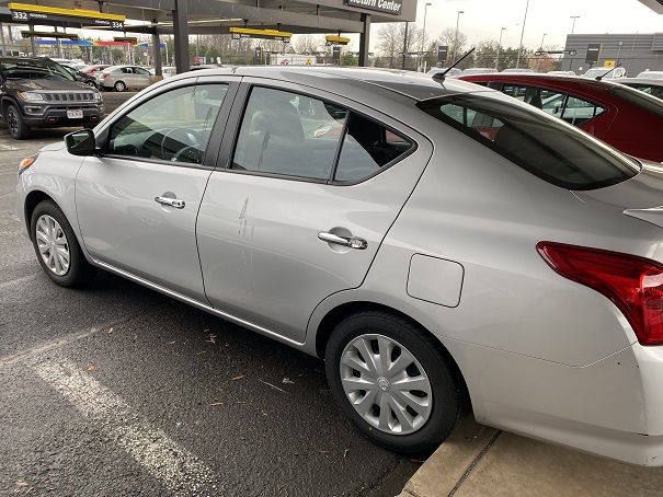
Social distancing was again easy as the shuttle driver left as soon as we boarded so we were the only ones on the shuttle. So far, this trip was a total social distancing success! We picked up our rental car after a slight mishap (we took one in row 2 instead of row 3 and had to return it). It had a bunch of bird droppings on the side and it smelled a little like cigarette smoke, but we were ready to roll!
Our first stop? Walmart to pick up food so we wouldn’t need to go inside gas stations, etc. We were taken aback at how fully stocked the shelves were and how no one seemed too concerned about things like toilet paper. Wow! Nothing like Colorado Springs, where we’re all out!

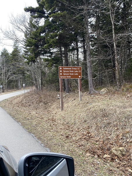
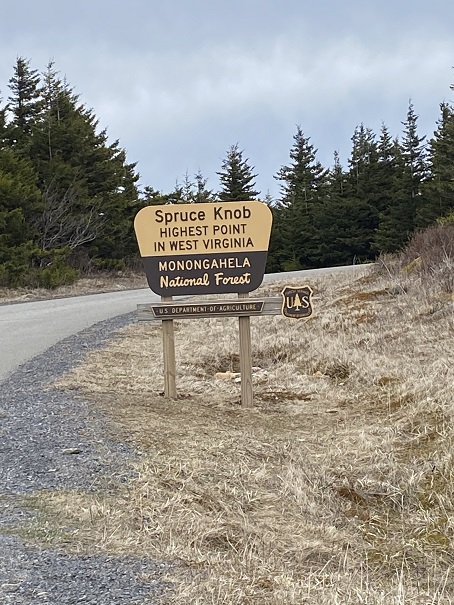
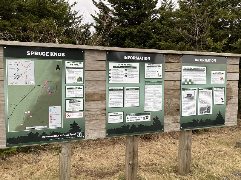
Peanut butter, jelly, cheese and crackers later we were finally ready to start highpointing. Our first stop was Spruce Knob, West Virginia. This was an easy drive up to the trailhead on a paved road
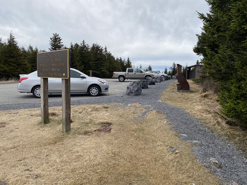
Even the cars were social distancing
We hiked less than a quarter of a mile on a well maintained dirt path to a tower.


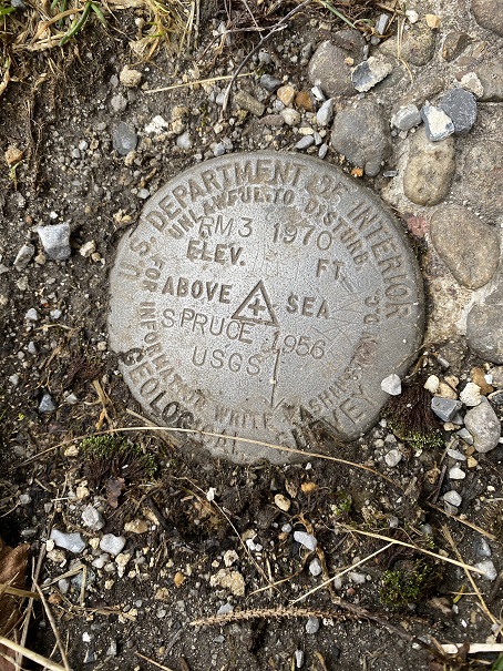
We didn’t see a summit marker, so we decided to climb the tower. No summit marker there either, but it sure was windy!
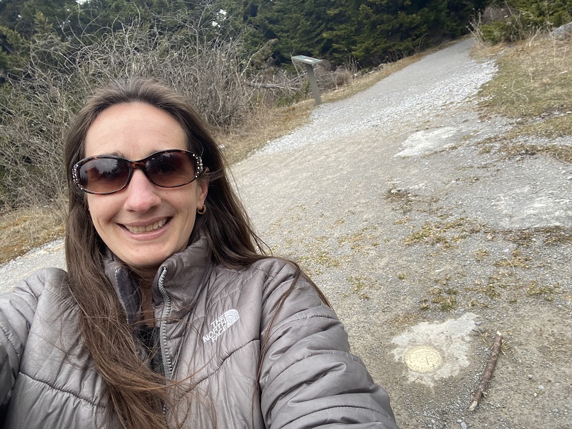
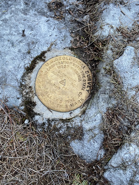
We headed back down and searched for a bit and finally found the summit marker (in the dirt)
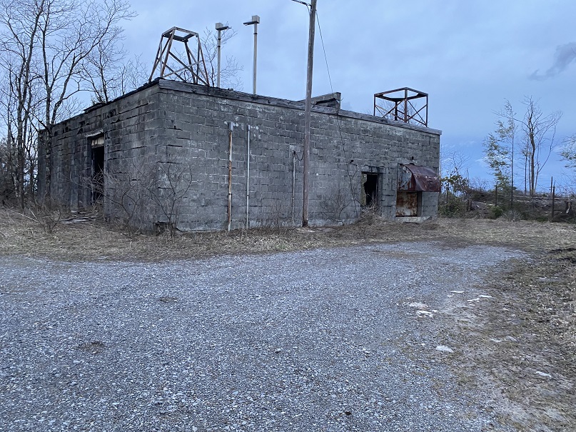
We hiked back to the car and were on our way to the next highpoint: Backbone Mountain. Turns out we had directions to the WRONG Backbone Mountain, but it was still a highpoint (in West Virginia, not Maryland). We drove up a sketchy road littered with fallen trees

And parked at this abandoned building.
We went around this fence
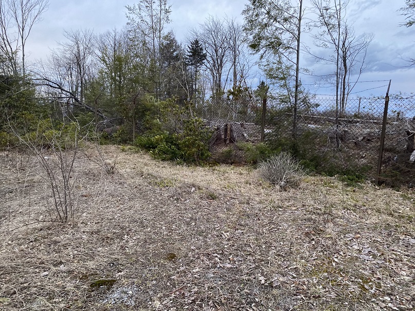
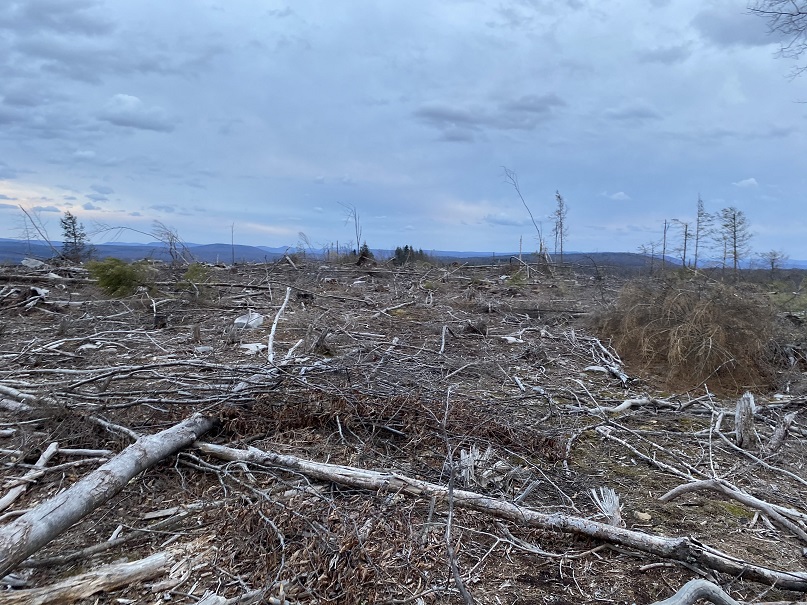
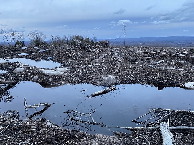
This is what the summit looked like
Can you believe it? We actually found a summit marker at this place!
But it clearly wasn’t the right one. I pulled up my Peakbagger app and realized we were almost 8 miles away from the correct Backbone Mountain (this was Backbone Mountain WV, not MD), so we got back in the car and drove north.
We were unable to locate the correct trailhead, so we decided to hike the dirt road… until it passed right through some houses where people were eating their dinner and could obviously see our flashlights out their windows. This was private property and we were obviously trespassing so we retreated back to the car.

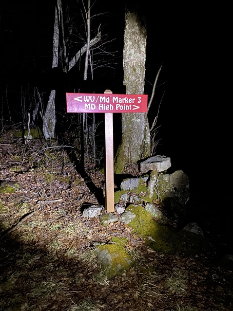
We sat there and pulled up a GPS track from AllTrails and saw we were close to the actual trail, about a quarter mile or so. So we decided to bushwhack through the trees until we made it to the trail

Success! Once on the trail is was an easy trek to the highpoint
We weren’t able to find the summit marker, but it was obvious we were there

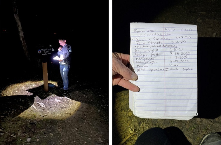
Steffen signed the trail register and we were off, bushwhacking again through the forest.
All I could think about were ticks: we were not following a trail and were constantly pushing branches (etc) away from us as we went. I just kept telling myself it was too early for them to be out. Right? I should probably be more concerned about Poison Oak/Ivy…
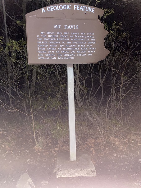
Next up was the Pennsylvania Highpoint. This one took us through Amish Country. We could tell because the houses had no lights and there was laundry hanging from the front porches. Tons of laundry, and all white. We drove in and out of the fog to a parking lot with this sign
It was colder than we’d anticipated, so after parking we quickly followed the trail about a quarter mile to the overlook, which we assumed was the highpoint.
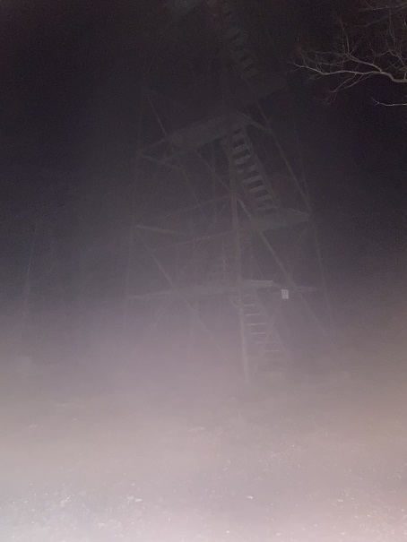
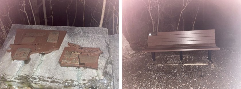
We climbed up and down the frozen metal, realized there was no view at night and started looking for a summit marker. We found plaques and a highpointing bench
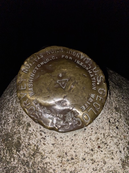
And eventually realized the summit marker was on top of this rock
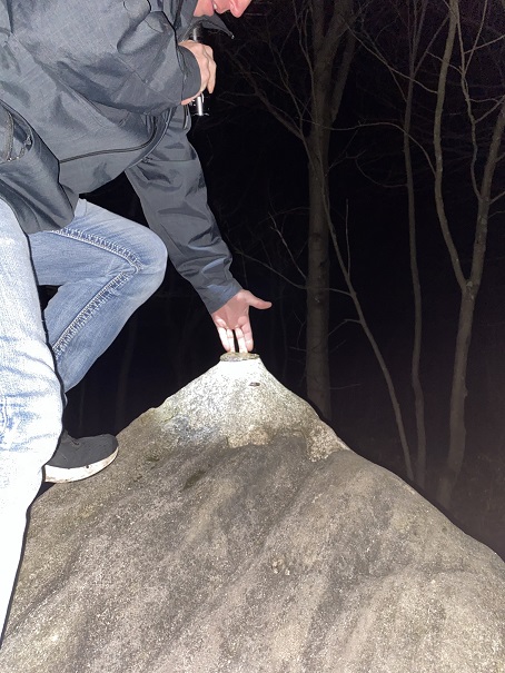
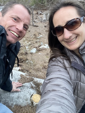
I climbed on top and got a picture for good measure, and we booked it back in the cold to the car.
When we got there my phone dinged and I had a message from the airline, telling me our flight was cancelled and to rebook. Argh! I called and my wait time was about 2 hours to speak with a representative, so we went online and found another flight. It left earlier than we wanted but it was a flight home, and we figured that should be our first priority at this point. We did some math and realized we no longer had time to hit the New Jersey Highpoint, but we could still drive to the Delaware one.
So we did, and it was quite anticlimactic:
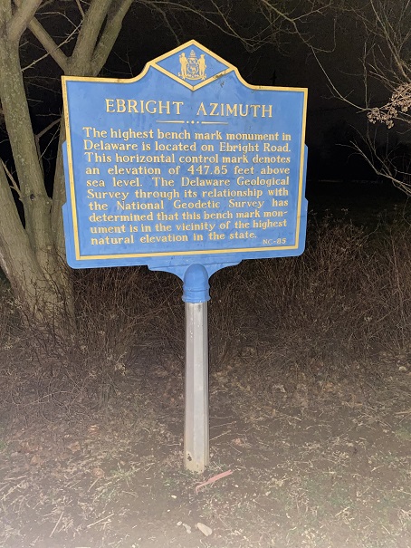
It looked like they cut out the sidewalk for the marker. To be fair, it’s a pretty low highpoint… 455’

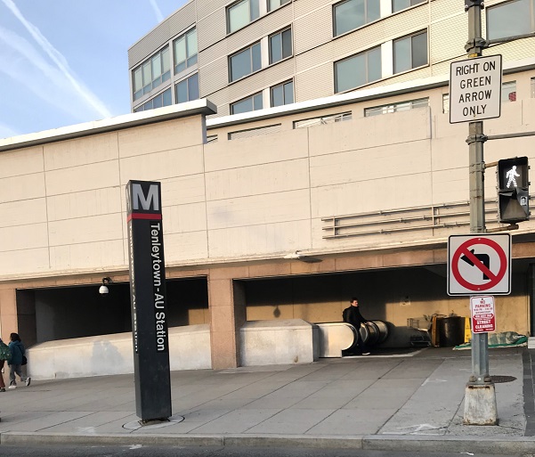
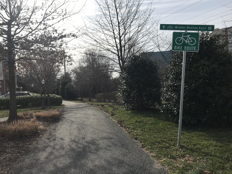
Next we were off to Point Reno. I’ve already been to this one so I knew exactly where to look for the summit marker (it’s a bit hidden, sandwiched between a middle and high school)
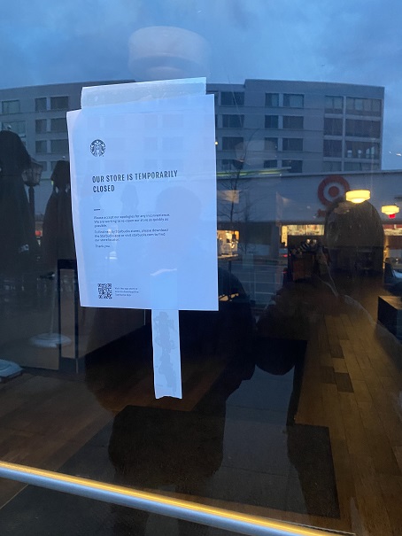
What to do now? Our flight didn’t leave until 4pm and it was only 7am. We decided to go find some coffee. I had several Starbucks cards with me I intended to use. However, when we got there we discovered they were closed. Bummer!
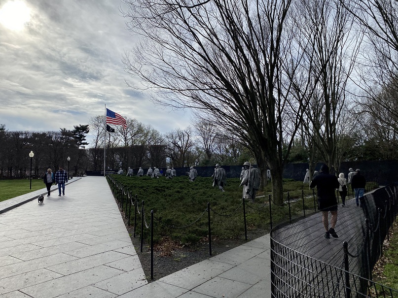
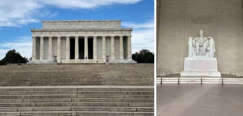
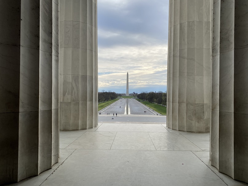
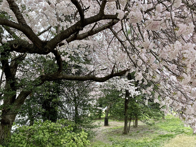
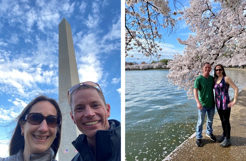
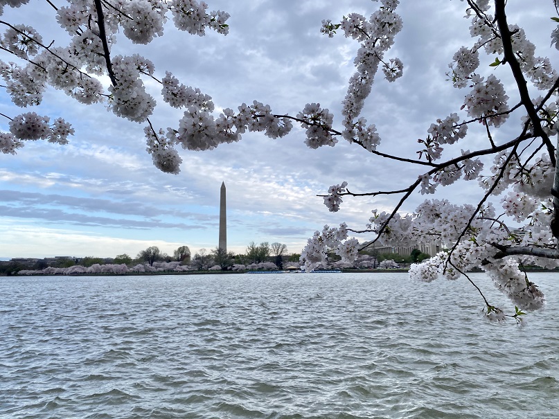
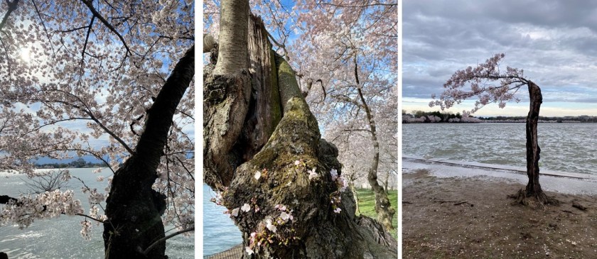
Steffen had never been to Washington DC before, so I decided to be his tour guide. I’ve been here many times and took him to all the best sites. There were tons of people outside, all social distancing together. I LOVE when the cherry blossoms are in bloom (I even bought a cherry tree and pink magnolia once to remind me of them) and I was so glad he got to experience this. Here are some highlights:
When our touring was done we were tired, so we drove to a Walmart parking lot and decided to get a few hours sleep before our flight. Note: at this Walmart everyone was wearing masks, and not surgical masks, but full on gas masks. It seemed a bit overkill. I set my alarm for right before we needed to leave for the airport and we both fell asleep in the front seats of the car. When my alarm went off I glanced at my phone and noticed I’d received a notification 20 minutes ago stating our flight was cancelled. Oh no! Time for damage control! Steffen drove me to the (abandoned) airport and I went straight to the ticket counter. Now I was worried we weren’t going to get a flight home, since they kept cancelling them. (No worries seriously though: we had a rental car and could have driven home if necessary). I politely asked what we should do, and was informed since we were at an international airport and international flights had been cancelled our best option was to go through Regan National instead. He booked us a flight leaving at 5:20pm out of Reagan, and gave us each $200 vouchers to use at a later date. Nice! That’s more than we spend on this entire trip! We drove to Regan National, returned the rental car (and gave the lady checking us in a box of Girl Scout cookies). There were more people here than at Dulles, but it was still pretty sparse, and everyone was maintaining proper distance. Even the restaurants only let people sit at every 4th seat.
We once again got canned water and snacks on this flight, which brought us to Houston. There was a restaurant open in the terminal and we were starving so we decided to check it out: Papas Burgers. They were also expensive so we shared a burger and fries (this worked since I really only wanted the fries and Steffen didn’t want fries). Steffen insisted I try the burger, and let me tell you: this was the best hamburger I’ve ever had! The fries were pretty amazing too. They maintained social distance here as well, closing the restaurant once 1/3 of the seats were full so we could all maintain social distance.
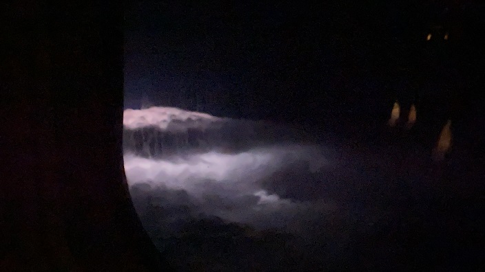
We breathed a sigh of relief when we took off towards Denver. Once again we had canned water and snacks, and this time got to watch a thunderstorm from our seats!
Ok, gross alert: halfway back to Denver I felt a bump on my neck. I was worried it was a new mole (this is valid, as I’m quite moley) and pulled at it. It didn’t budge, so I dug my nails in and pulled harder. It came out, and what I expected to be a mole ended up being a tick! Yuck! I’m pretty sure I got it while we were bushwhacking though the woods of Maryland/West Virginia. I was not happy with this, but I was glad I’d gotten it out. Now I just need to wait a few days for the head to come out…
In the end, I’m very, very glad we took this trip. I don’t plan on travelling again until this whole Coronavirus thing blows over, but I have no regrets, and I’m really glad we decided to go anyway while doing our best to stay safe.