12 Miles RT
3600’ Elevation Gain
This trail isn’t an established trail on any map, so I
needed to do a lot of research before heading out. My advice to anyone taking this route: Bring and know how to use a topo map and
compass. Almost all directions I found
were wrong, but the topo map never failed me!
I woke up this morning and it was a bit overcast when I
looked towards the mountains. However,
the weather looked like it’d clear up in an our or so, so I decided to hit the
treadmill for an hour and get in some exercise, shower, and then head to North
Cheyenne Canyon.
I arrived at the trailhead at 9:40am, and was on the trail
by 9:45am. What a difference a few days
makes in trail hiking! There was very
little snow here, where last week there was a good 3+ inches.
I’ve done this part of the hike several times, so I’m not
going to go into detail. Here’s the
route I took:

Park in the lot above Helen Hunt Falls
Take Gold Camp Road West to 622
622 is the 7 Bridges Trail
After crossing the 7th bridge turn right onto 622
and climb up the mountainside, along a scree filled slope, and stay right
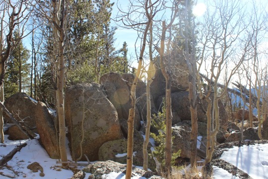
through an Aspen Grove.
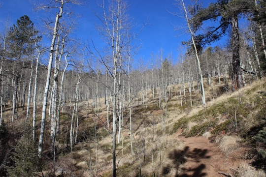
At the top of the Aspen Grove you’ll come to a
junction.

Turn left (West) onto 667
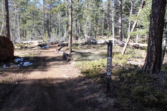
Shortly after this junction you’ll come to another
junction.

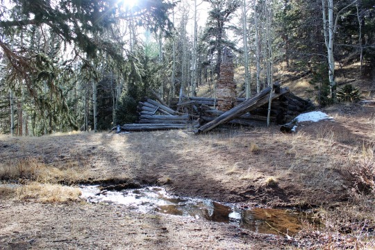
Turn right here onto 622A, and follow the route to Loud’s
Cabin.
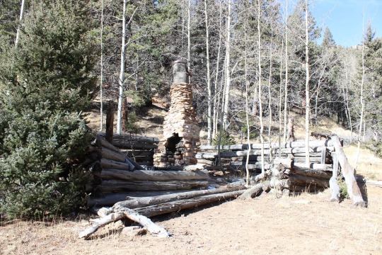
Side note: Professor Frank
Herbert Loud (1852-1927) worked at Colorado College as a mathmatician. He wrote mathematical textbooks, and took
many visitors to his cabins in the woods (there are 3), including the writer of
“America the Beautiful”, Katherine Lee Bates.

Most of my information about trails was wrong for this part
of the trek, and I’m assuming this is the reason:

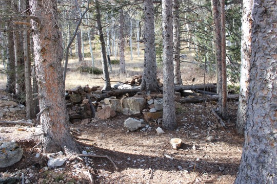
There are many social trials in this area, but when you
reach Loud’s Cabin head north and cross the stream once again. From here you should follow the trail to the
right (east) for a bit before turning back west and closely following the creek
up the mountainside.
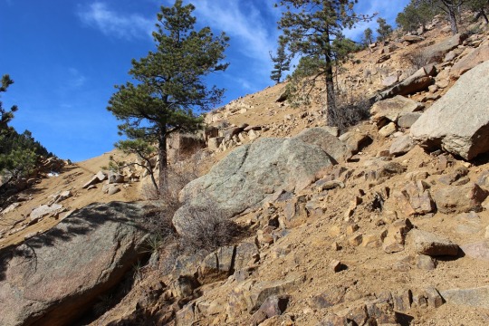
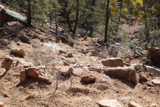
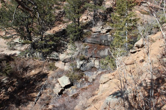
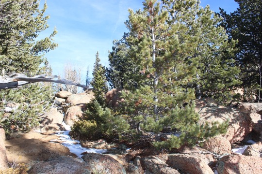
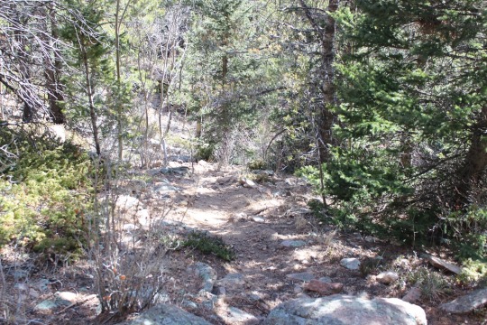
This isn’t a real trail, but more of a social trail filled
with scree and lots of cairns. It can be
difficult to follow at times, but as long as you parallel the stream to the
right and make it to the waterfall you’re on the right path.
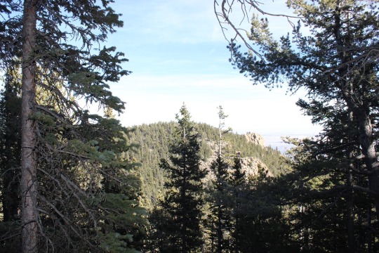
Eventually you’ll reach the saddle between Mt. Garfield and
Mt. Arthur. This isn’t a saddle like I’m
used to: It’s covered in trees and
vegetation, with no trails. I was
frustrated because the trees blocked the view of both mountains.
This is where I got frustrated. I knew there wasn’t a solid trail to the top
of either peak, but now that I was on the saddle, I still wanted a trail to
follow. I kept thinking of how easy it
would be to get lost in all that vegetation!
I seriously contemplated turning back around and trying this another
time, but I’m stubborn! I’d hiked all
this way, I was very, very close to my intended destination, and wasn’t this
the reason I was hiking here? For a
challenge? How was I going to practice
route finding if I didn’t take a chance?
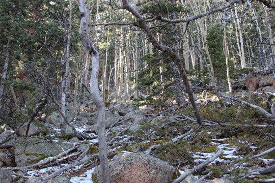
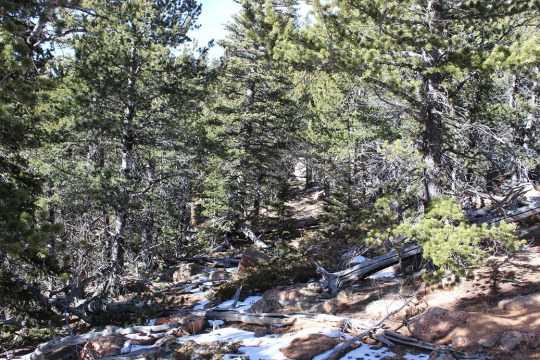
I looked around again for a trail. Well, there wasn’t one, so I steeled myself
and turned west, aimed for the top, and bushwhacked to the top of Mt.
Garfield. There was a lot of snow and
fallen trees. Here’s what the “path”
looked like:
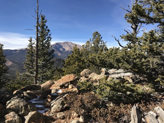
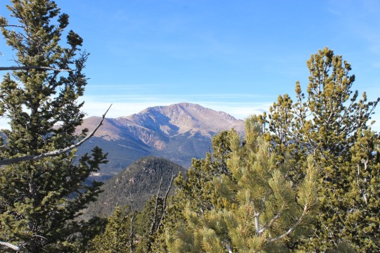
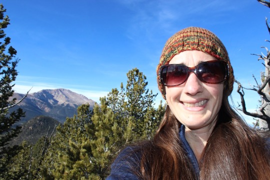
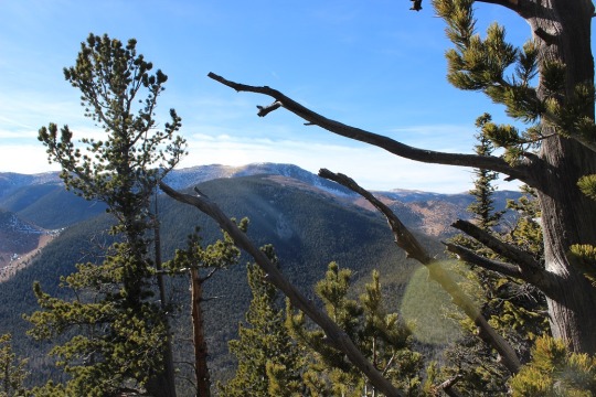
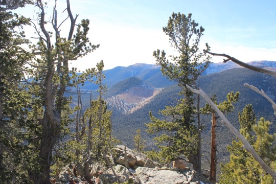
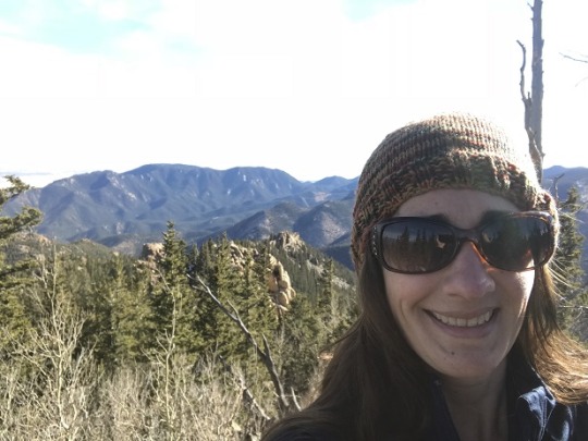
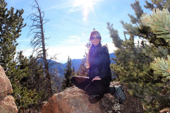
The views at the top were worth it! Not to the east, because trees were in the
way, but to the west I had a great view of Pikes Peak!
Here’s a view of Almaghre
And one of Runs Down Fast Mountain (one I want to tackle
soon)
I spent about 15 minutes on the summit, and then started my
descent. Since there wasn’t an
established trail I just kind of aimed towards the saddle and kept a view of
Mt. Arthur in sight.
It was fun to see some of my old steps in the snow! That meant I was going the right way. Unfortunately the snow wasn’t consistent
enough to follow tracks the entire way, but it was nice to come across them every
once in a while.
I made it back down to the saddle and seriously contemplated
just heading back. This hike had taken
longer than anticipated and I was running out of daylight. But I was so close! Did I really want to hike another 12 miles
just to summit a peak I was less than half a mile away from? Nope. I headed east up the slop of Mt.
Arthur. This area was much easier to
hike up then the terrain on Mt. Garfield.
There was almost no snow, and a lot of rocks, so I basically just
climbed west, taking care to stay away from the rock outcroppings to the south.
It felt really good to summit! The views here weren’t that great, but I took
a few pictures just because I was there.
Now it was time to head back down. The route was much easier to follow on the
way down than it had been on the way up, mainly because I knew where I was
going.
I made it back down to my truck at 3:15pm.
Stats: 12 miles, 3600’
elevation gain, 5.5 hours total hiking time.

One thought on “Loud’s Cabins, Mt Garfield 10,930′ and Mt Arthur 10,807′”