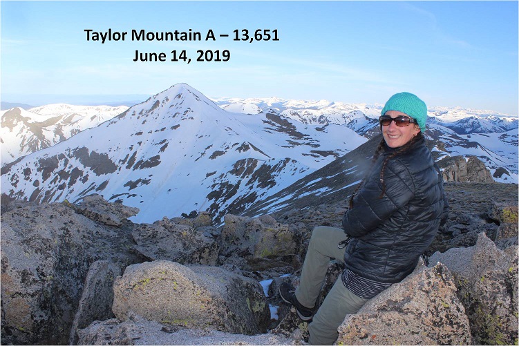
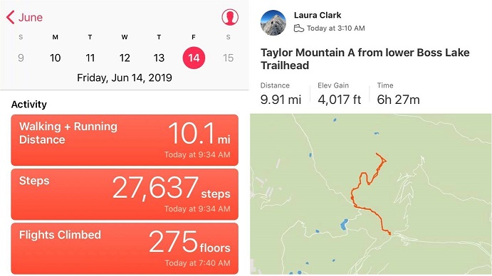
Taylor Mountain A – 13,651

RT Length – 10 miles
Elevation Gain – 4017’
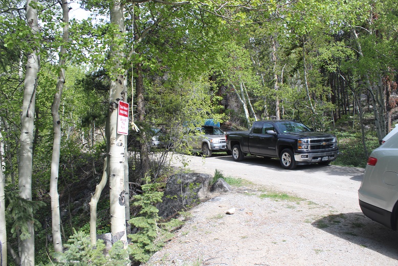
I’ve been listening to a lot of Taylor this week, so it was only fitting I chose to hike Taylor Mountain A today. I made it to the snowmobile area (lower trailhead) around 3am, and decided to park here. There was one other vehicle when I arrived, and 7 when I left. This area can hold about 10 vehicles if everyone parks nicely. Be sure to park behind the red and white signs.
One of the deciding factors for parking here was the sign indicating the trailhead was only 1 mile away. This was only supposed to be a 7 mile hike, so I welcomed the added 2 miles distance. Note: The trailhead is actually 1.4 miles up this road, which isn’t a big deal unless you’re hiking and worried you ‘missed’ the turnoff in the dark.
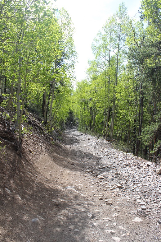
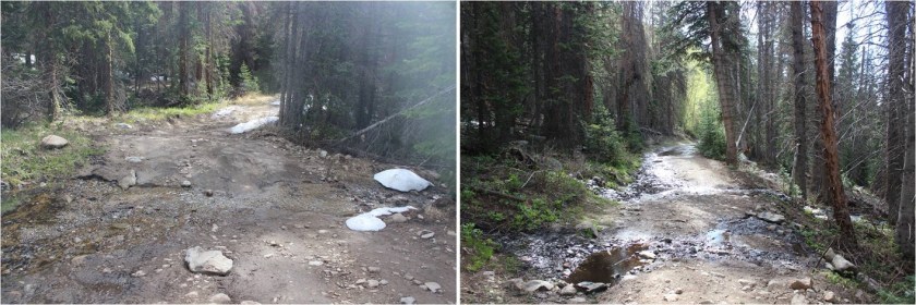
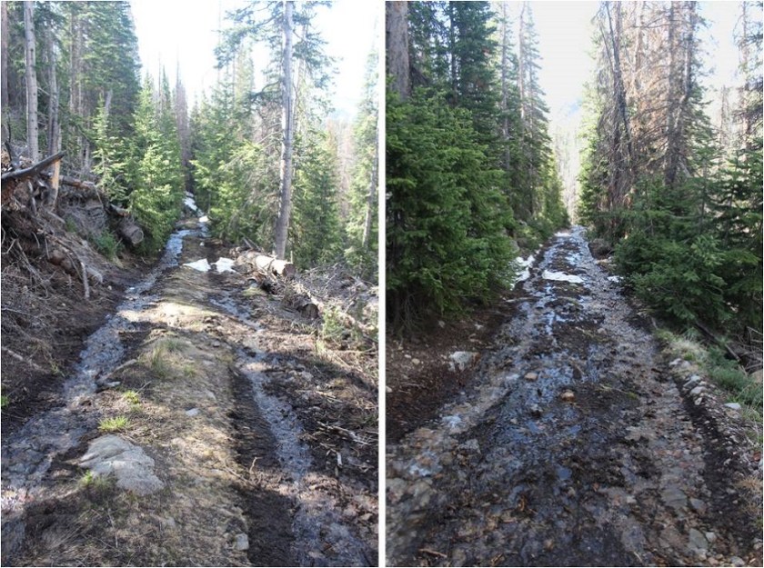
The trail started off dry-easy-4WD, and stayed that way until I made it to the Boss Lake Trailhead. I could have easily driven my Tundra here.
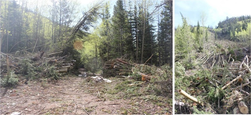
About ½ a mile before the Boss Lake trailhead there was avy debris that had been cleared just enough to let a vehicle through
From here the road got a little muddy, but it wasn’t something that would stop a 4WD vehicle from making it to the trailhead.
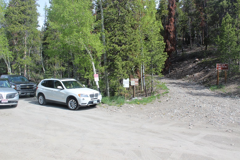
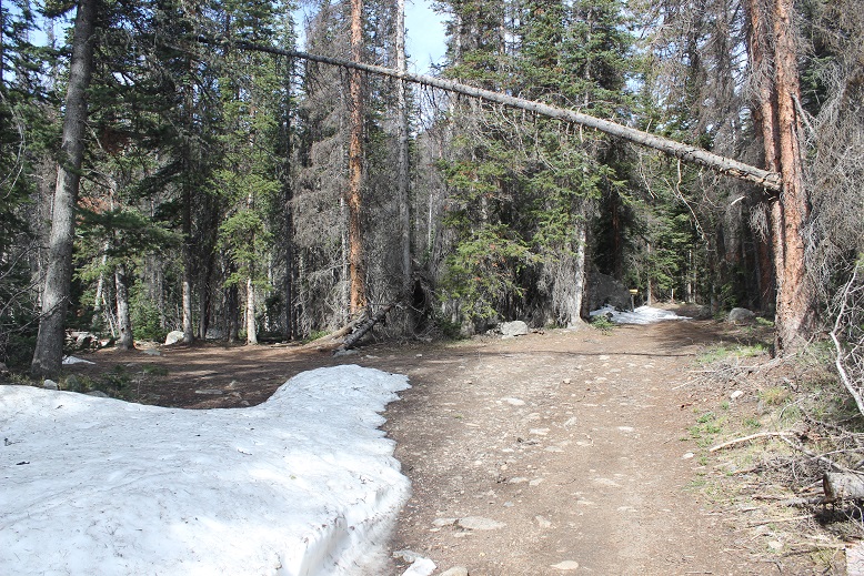
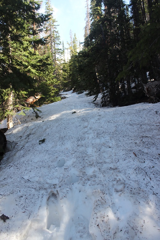
I was very excited when I made it to the upper trailhead (I hadn’t past it in the dark!). There was a little bit of snow here, and no vehicles parked. There was room for about 4 vehicles total.
I followed the 230 for another quarter mile or so, realized I’d missed the turnoff to the 230C in the dark, and turned around. The turnoff was about 1/10 of a mile away from the trailhead.

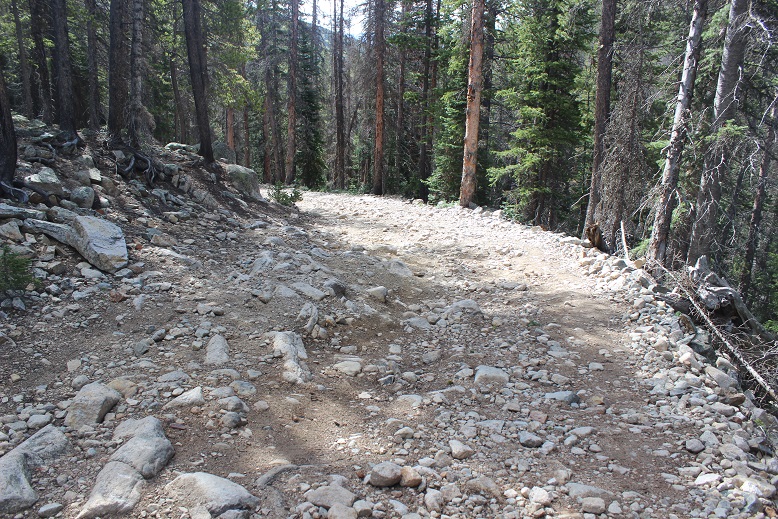
The road became increasingly rockier but was still dry
On my way back I took a picture of the turnoff to 230C. It’s on the right side of the road. The intersection is easy to see in the light, but easy to miss in the dark, and as you can tell, the signage is well off the road (20 feet down 230C after the turn).
This is where the road really started to get muddy
There were tire tracks from an ambitious off road driver all the way to about 10,880’.

I started needing snowshoes around 11,000’, and didn’t see any other tracks in the snow
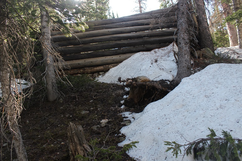
The road was easy to follow until it ended at the cabin area, and from here to treeline I was breaking trail. I turned right at the last cabin and navigated my way northwest through the trees, keeping the creek to my left and hugging the mountainside to the right.
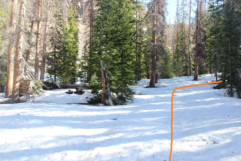

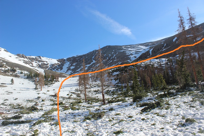
I never came to a meadow, but this is most likely due to a recent (small) avalanche in the area. I just followed the avy debris to the bottom of a small basin
And followed the small gully to the top. The snow here was well consolidated, and even a bit icy.

At the top of the small gully I turned right

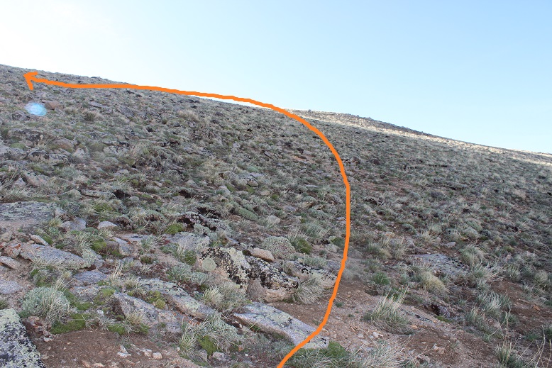
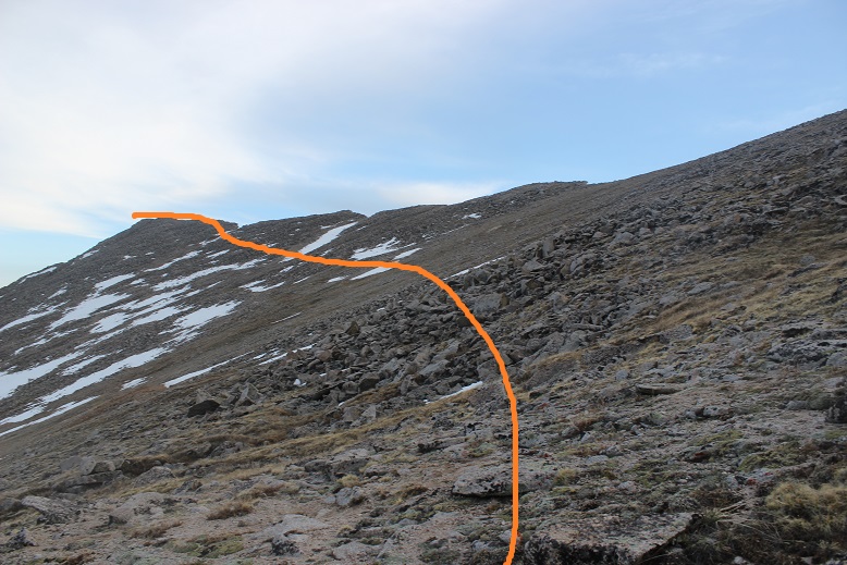
And looked for a trail that hugged the mountainside…
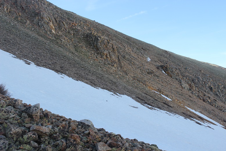
This was more difficult than it sounds. There wasn’t actually a defined trail. Well, maybe there was one 50 or 60 years ago, but I’d venture to guess this ‘trail’ hasn’t been use more than a handful of times recently. It’s more of a goat trail, completely overgrown with tundra. I took off my snowshoes here and didn’t need them until I made it back to this point.
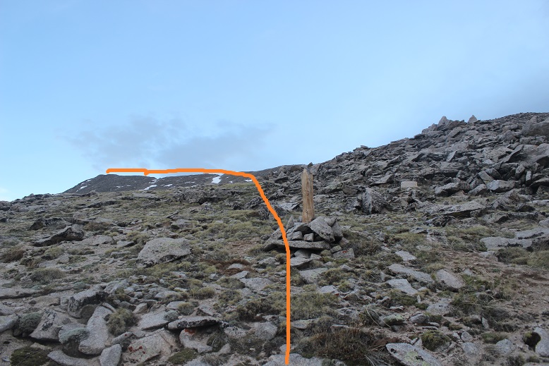
Can you see the trail? Here’s a clue, go this way, under the rock and up the hillside
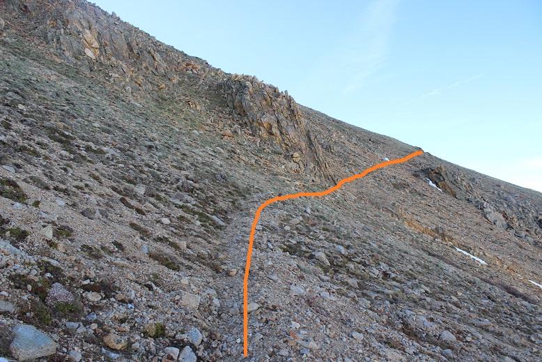
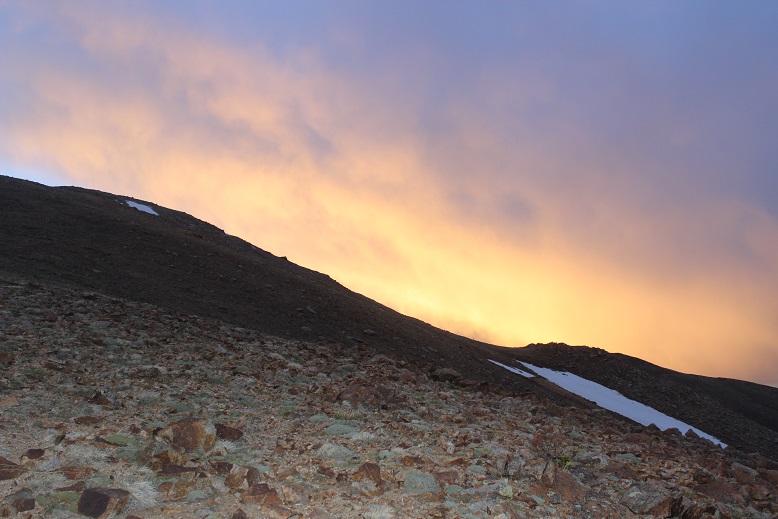
Eventually you’ll reach the ridge and turn left to ascend Taylor’s long ridge
I made it here just as the sun was beginning to rise. I got a nice view for a minute, but the sun quickly hid behind clouds for most of the rest of the morning
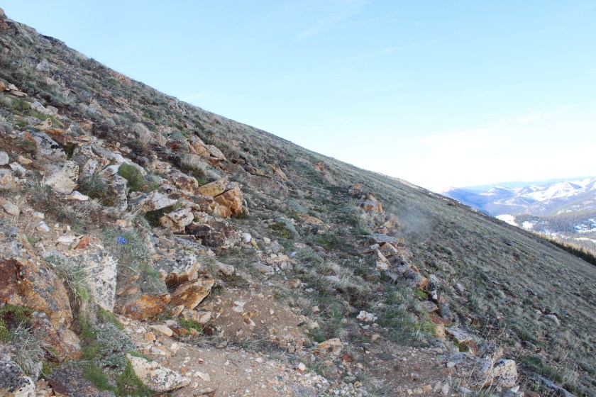
The rest of the route up Taylor Mountain A is a straightforward hike up the ridge.

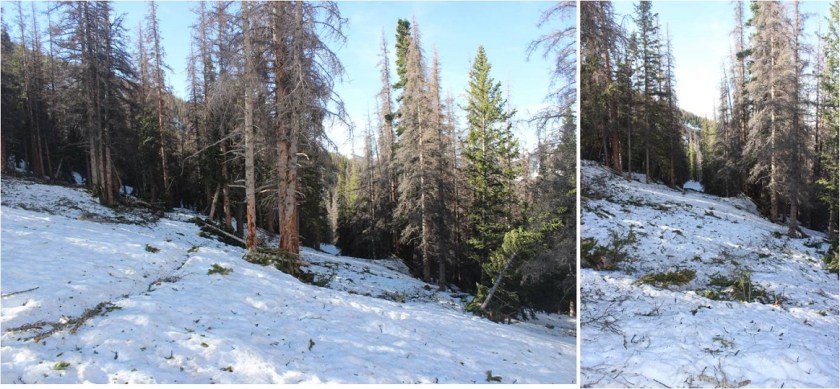
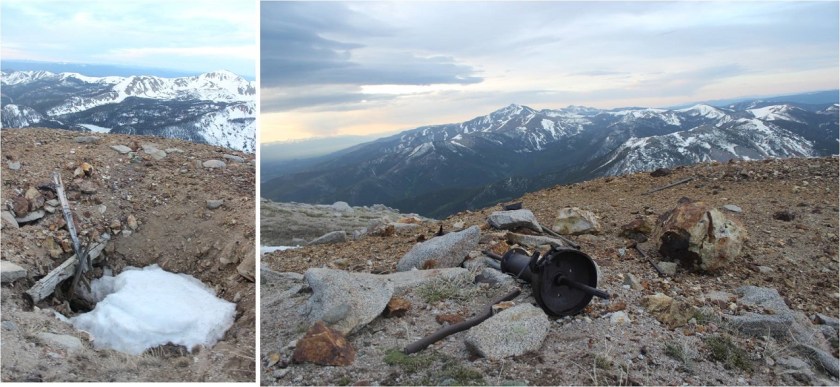
I passed several neat mining sites on the way up
The terrain got increasingly rockier, but nothing too difficult.
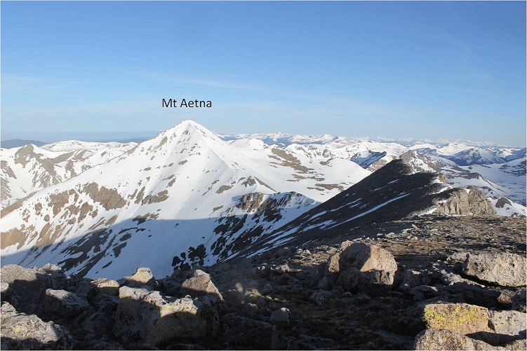
I was actually hoping to make this hike a double summit and attempt Mt Aetna as well. However, I didn’t have any good beta on the ridge below Mt Aetna towards Taylor Mountain. I knew it usually holds snow, but I’d been hoping the ridge was clear enough to trek without snow on part of the ridge. Worried the snow would soften up too much for me to be able to climb Mt Aetna, I decided to check out the conditions there before summiting Taylor. I headed left, to towards the Aetna/Taylor Saddle
I made it to the ridge, and even before walking all the way to the end became disappointed: the wind had held at a steady 20-25mph all morning, but on this ridge I kept getting knocked down. The wind here was most likely well above 50mph, and while the route up to Mt Aetna looked to be in great climbing condition, I didn’t feel comfortable crossing the ridge in all this wind. I wasn’t entirely sure I could do it before the sun warmed up the snow either.
So I turned around and looked at the path back to Taylor Mountain.
This didn’t look too difficult, and indeed, it wasn’t. A bit rocky, and a few of the rocks were loose, but they weren’t going to tumble down below me or cause a rockslide. The most they could do is put me off balance. I navigated the rocks along the ridge

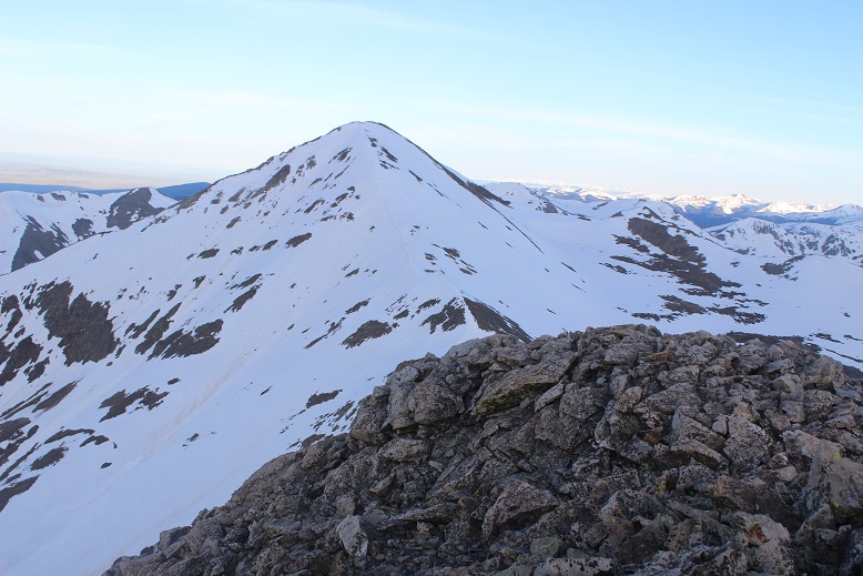
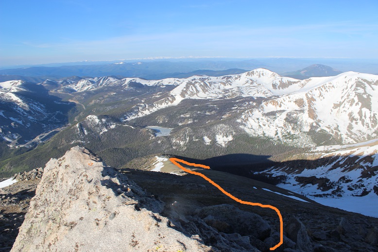
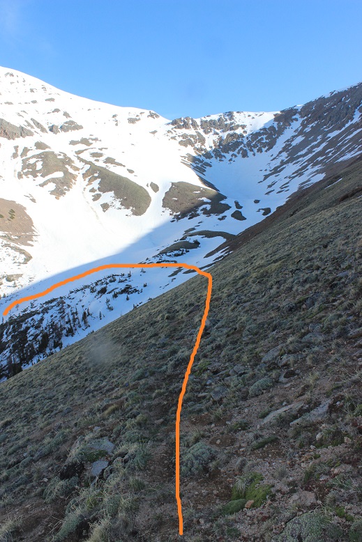
Stopping in the middle to take a picture of the route through the avalanche area to the basin and up the ridge

I summited at 7am
Summit Video
Almost immediately the sun came out from behind a cloud, and I was pleased with my decision not to attempt a summit of Mt Aetna today, guessing I’d only be making it to the snow now as the sun rose.
I turned to head back down Taylor’s South Slope
Stopping for a little bit in the mining area to take some more photos

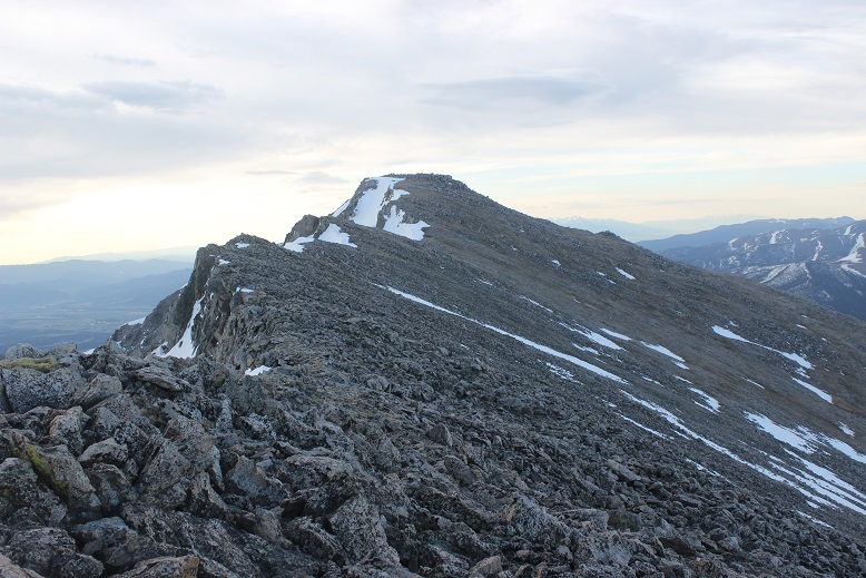
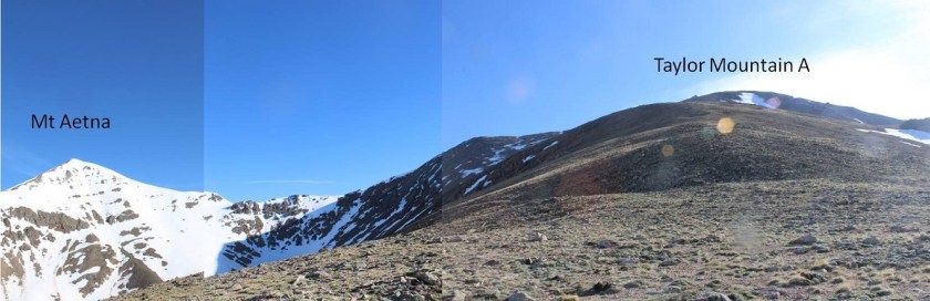
Here’s a picture of the ridge between Aetna and Taylor
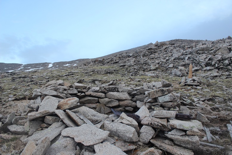
I made it to the ridge, turned right, found the old miner’s trail, and followed it back down into the basin, humming as I hiked
I followed my earlier snowshoe tracks through the avalanche area, down through the trees, and back to the trail, where I was able to see remnants of old cabins in the daylight I hadn’t seen in the dark.
I made it back to my truck at around 10am, making this a 10 mile hike with 4017’ in elevation gain in just under 6.5 hours.
All in all, today was a fabulous day! Now to drive home and take my daughter to the movies before she heads off to camp for a week.

What a beautiful sunrise from Taylor Mountain. Thank You for sharing.
LikeLike