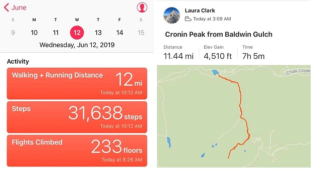
RT Length – 11.5 miles
Elevation Gain – 4510’
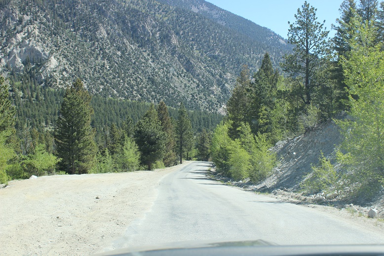
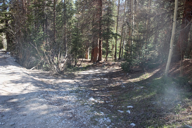
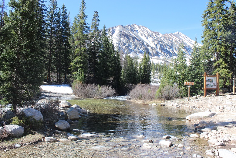
Today became a ‘Surprise! You’re free to hike!’ day at the last minute, which I quickly took advantage of because I was unable to get out last weekend. Luckily the weather cooperated as well. The 2WD road in to the Baldwin Gulch Trailhead was completely clear and dry all the way to the lower 2WD trailhead.
In the dark I could hear and kind of see Chalk Creek. It sounded like it was raging and looked dangerously close to reaching its banks in some areas. I seriously wondered if it would start to overflow later in the day. I’ve driven up the 4WD #277 road before, and even if it was open I didn’t much want to drive it again, so I parked along the side of the road (in the dark not seeing the lot just before the trailhead) and got my gear ready.
I was on the trail just after 3am.
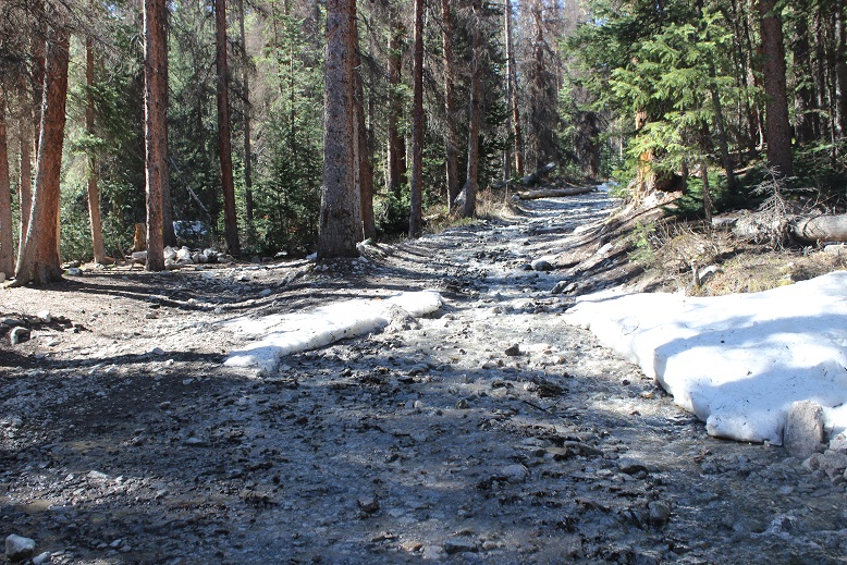
The #277 Baldwin 4WD road was worse than I remember it from 2017 and I was immediately glad I’d chosen to park at the 2WD area. The road was in full spring conditions, with a river of water running directly down the road.

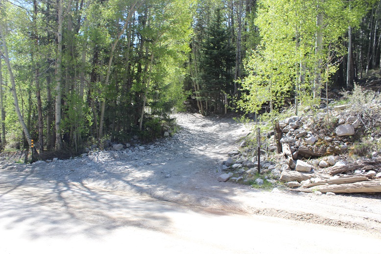
After following the road for about 2 miles I came across avalanche debris blocking the way. It wasn’t too difficult to navigate around, even in the dark, but it looks like it’s going to be there for a while and vehicles can’t cross the area.
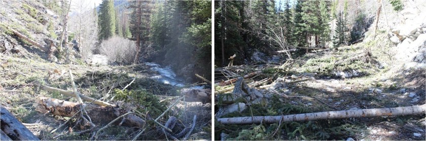
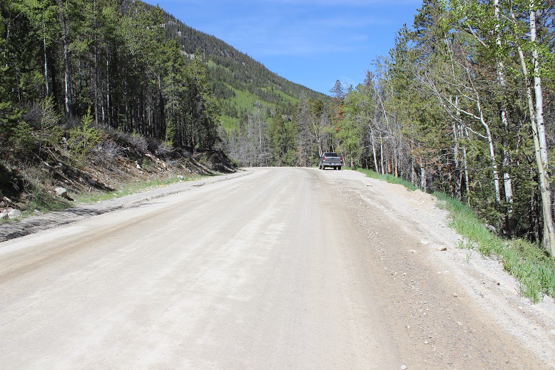
If you do decide to drive up the 4WD road there are 2 camping spots with parking for 1 car each before you get to the avy debris. The last spot is located at 10,530’. It’s also the last place to turn around before the debris. I’d just recommend parking at the bottom and hiking in though, as it’s an easy hike.
After the avy debris the water on the road really picked up. It seemed the creek was overflowing its banks here and I easily crossed through a couple inches of water for hundreds of feet
There was also evidence of moose in the area along the trail, but it didn’t look too recent. I made it to the first Baldwin Creek crossing while it was still dark. I couldn’t see how deep the creek was, but my plan had initially been to rock hop across the creek on the boulders to the left. I got about halfway across and had second thoughts: the rocks were slippery and some were under quickly flowing water. I was going to have to jump to make the last few and would most likely end up in the creek in the process. So I backtracked and thought about what to do.
I don’t feel safe crossing streams barefoot, and I hadn’t brought extra shoes/sandals/socks, so if I was going to ford the creek I was going to have to complete the rest of the hike in wet shoes with soggy socks. This did not sound appealing, and I knew soggy socks would turn into ice socks when I got further up in elevation. I gave my summit a 50% chance of happening if I forded the creek but knew if I stopped now that number dropped to 0%. I decided to go for it. In the dark I studied the water and looked for the safest area to cross. This ended up being close to the mouth of the creek. I put my electronics in my pack, adjusted my trekking pole, and took a step in the water. Woot! My foot stayed dry! The rocks were not as slippery as I’d imagined, but I was still careful and gingerly crossed the stream. I took three more steps before my hiking shoes slowly started filling up with water.
I made it to the other side of the creek without incident. The only casualty was my wet feet. I kept hearing squish-squish with each step I took. This was not going to be enjoyable. Oh well, on I went.

It wasn’t long before I came to the second creek crossing, and since my feet were already wet I didn’t hesitate and just walked through this one as well.

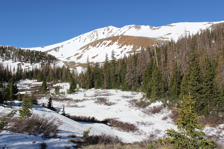
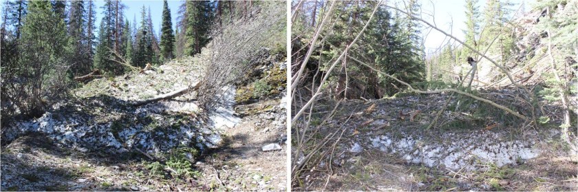
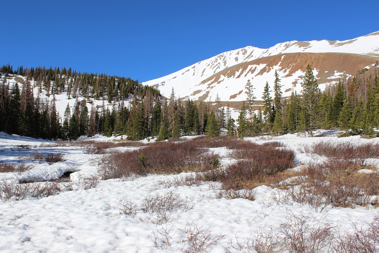
This is where the snow started. Since it was still early morning it was consolidated and I was able to walk on top of the snow. As I continued up the trail I encountered more and more snow.
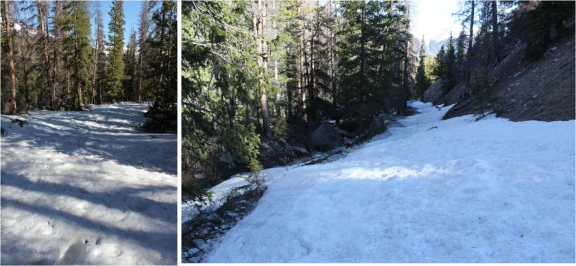
About a mile after the first Baldwin Creek crossing I turned right and entered the trees, aiming for where I mentally knew the willows area should be. I immediately sank up to my waist in snow, but I’m stubborn, so I had to sink about 10 more times in the next 10 more steps to break down and put on my snowshoes. From then on out I didn’t posthole (much). Oh, and my wet toes were beginning to freeze inside my wet socks.
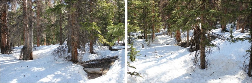
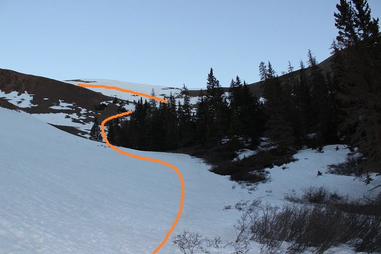
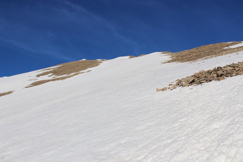
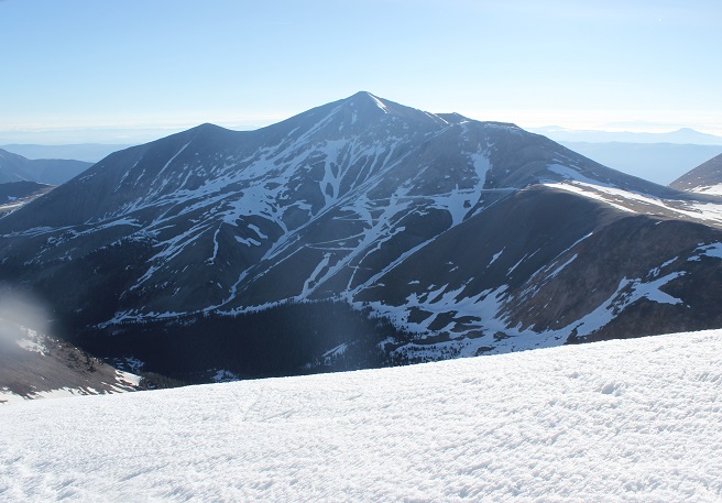
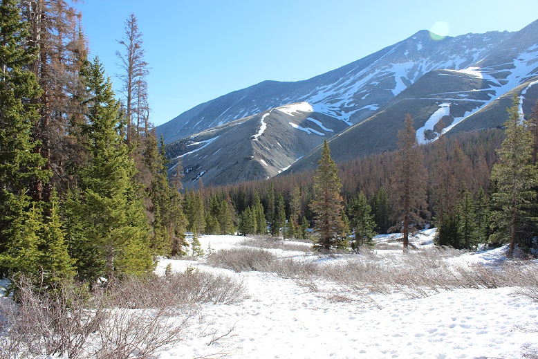
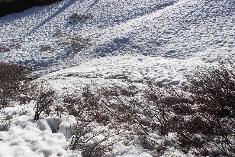
I didn’t feel like I walked very far before I was in a clearing and could see the willows and the rest of the path before me. The sun was also starting to rise, which was nice. Here’s the route I took, staying out of the trees and going straight up the gully

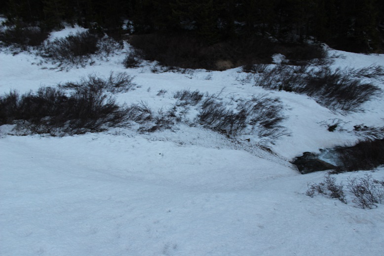
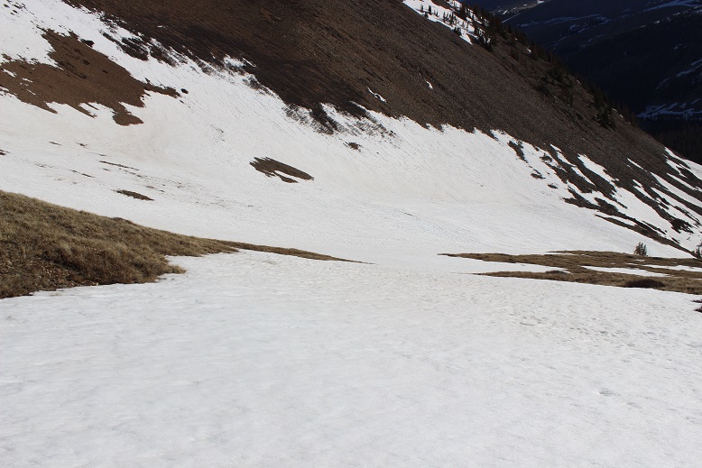
Luckily there was a small snow bridge over the creek in this area, so I didn’t need to get my feet wet again. I could hear the water rushing underneath, and asked myself if the snow bridge would still hold me this afternoon on my way back?
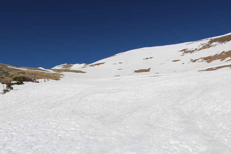
After crossing the stream I navigated around the trees, sticking to the left (southwest). As it rounded I turned west and followed the gully on consolidated snow.
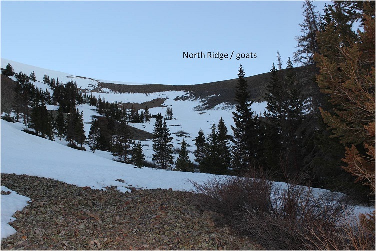
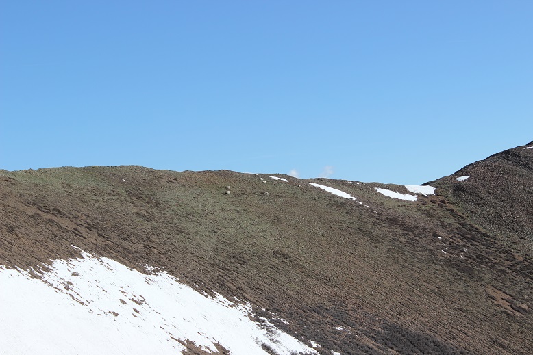
There are a few options from this point to gain the ridge and summit Cronin. One is to take the north ridge, but the scree here didn’t look appealing. Also, there were goats enjoying their breakfast and I didn’t want to disturb them (but it was mainly the scree that made the decision for me).
So I continued following the gully up and to the left (west)
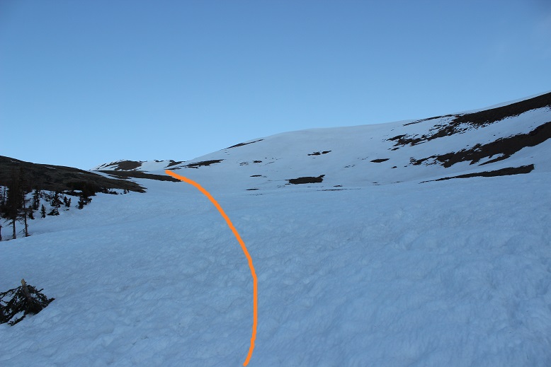
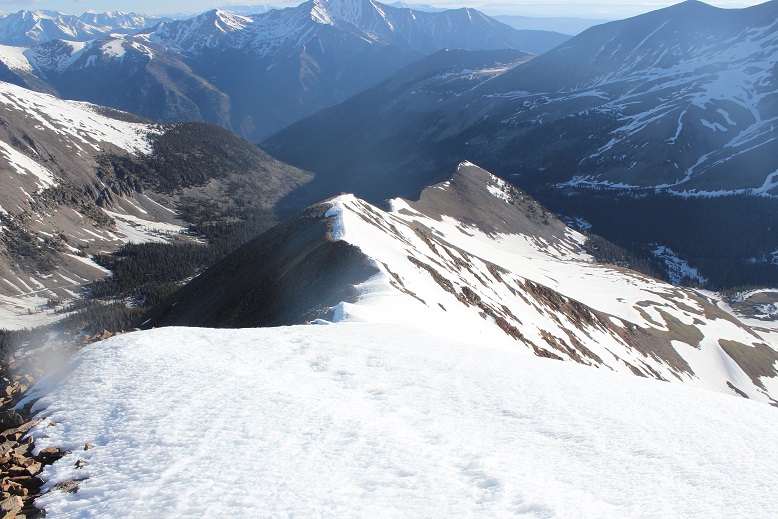
I still had options for gaining the ridge, and decided the safest option was to kind of parallel the ridge as I gained elevation. Here’s the path I took to gain the ridge

My socks were now frozen. I could feel the ice between my toes, but surprisingly they weren’t cold. I decided not to question it and kept going. Gaining the ridge wasn’t difficult, but the snow was starting to soften up.
I gained the ridge close to the false summit, and could see the rest of the trail in front of me. There was just enough snow to walk on and goat tracks to follow.
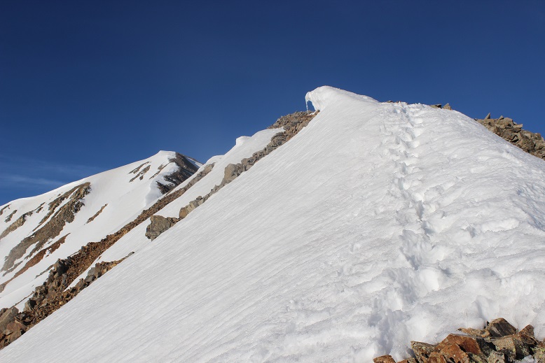
From the false summit there’s a little bit of a downclimb and I’d been told it included some tricky footwork, but the snow obscured any difficulties. I postholed here once or twice up to my waist, even with snowshoes on.

The ridge was one long but squatty cornice. I stayed to the right on the snow and walked where the snow met the dirt.
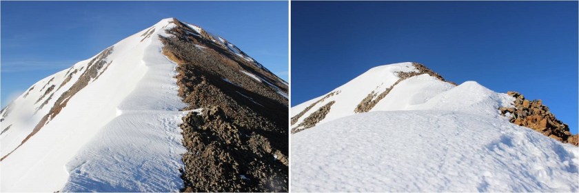
On the final push to the summit the snow got increasingly softer but was still navigable.
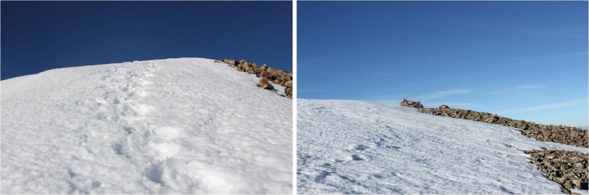
I summited at 7am, and set up my camera with my new gorillapod (which isn’t at all what I’d expected: poor quality but gets the job done).

Summit Video:
(For some reason I said Casco, but I was on Cronin. Whoops! Oh well… my fingers were too frozen to try a second time.)
Check out Antero
It was windy and my feet were now solid blocks of ice, so I didn’t stay long on the summit. I turned to look back at the way I’d come
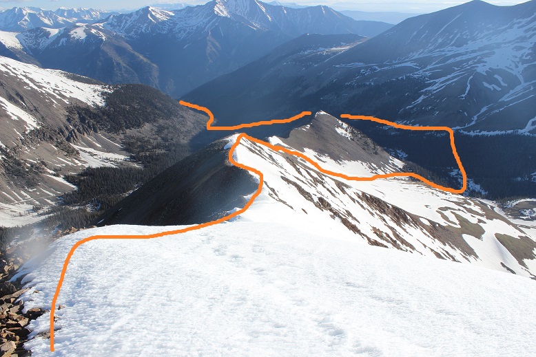
Here’s the route I took back
The snow was warming up quickly so I got out my ice axe. It helped me through some quick sketchy sections

The most difficult part of the day was just beginning. This snow section here below the ridge was rapidly warming and became slippery. I had to walk slowly to prevent slipping, yet wanted to make it down before the sun warmed up the snow even more. I couldn’t believe how soft the snow was for 7:30am!
I made it to the top of the gully area, said hi to the goats, and breathed a sigh of relief: I hadn’t slipped once!
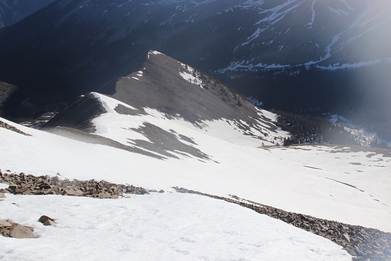
Here’s a look back at the route
And a look down the gully
I made it back to the willows, following the tracks I’d made on the way in. My feet had finally defrosted and I was squishing again. From here I decided while I was hiking through the trees I would aim for the ridge directly in front of me
I made my way to the snow bridge and looked back at the mountain. Cronin looks better in daylight!
The snow bridge still held my weight
Once in the trees I walked northeast until I made it back to the road. I’d overshot my entry point by a few yards, but was pleased with my navigation skills. My toes had almost dried by the time I made it to the first creek crossing. Both creek crossings were much easier in the light of day, and with the added bonus of previous experience I just walked across them both. I followed the road back to my truck, taking pictures in the daylight of the fun I’d had in the morning, my feet squishing the entire way. I made it back to my truck at 10am, making this an 11.5 mile hike with 4510’ in elevation gain in 7 hours.
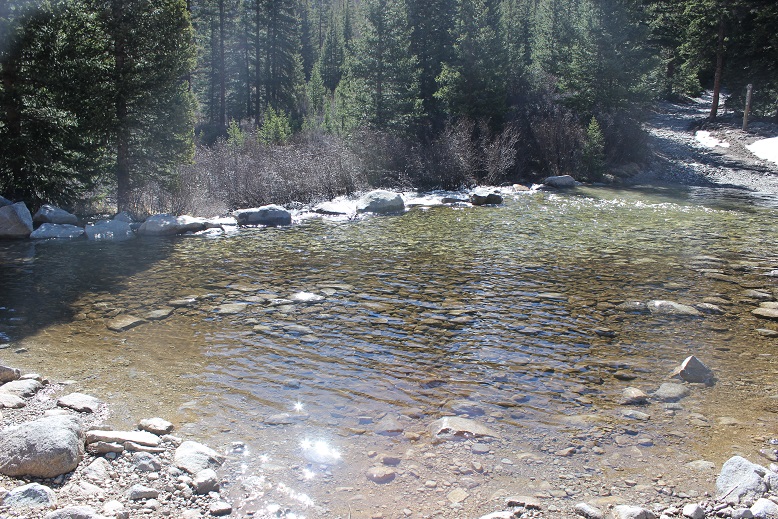
Chalk Creek hadn’t overflowed its banks, but it was raging! Here’s a picture from further down the road


Miss Laura,You are the bravest and most amazing Lady I have ever seen and had the opportunity to meet physically.I have never met a person who puts themselves through over extending trials as You.My heart goes out to You as you stand alone in accomplishing what so many wish they could do and that includes that of myself.To be 30 yeas younger.I’m not using that as and excuse,but rather and incentive to keep going.I can honestly say You are my inspiration and Idol when it comes to my physical well being.
I’m very concerned about Your hands and feet because of Raynauds disease.If I spelled it wrong,forgive me.I am always fascinated by the many decisions You have to make in Your journey to the many summits You have captured.It seems as if nothing comes easy for You Laura.Above all I am thankful You would share this valuable time with others as myself.I could write a book on You alone and Your exploits. Please forgive me if I have offended You in any of my responses. There just is no one like You. Thank You. I desire greatly for others to see how wonderful and gracious You truly are.
LikeLike