RT Length: 9.96 miles
Elevation Gain: 3543’
I drove in from Kite Lake after hiking some 13ers in the area. It took me about 2 hours to drive to Silverton, 40 minutes to drive to Purgatory, and another hour and a half to drive to the end of Forest Service Road 579. This is an easy 4WD road, but there are few spots to turn around. I was getting seriously worried about my trip out tomorrow until I (finally) made it to the end of the road. The road abruptly ends at a campsite, which was good news to me, as that meant there should be fewer chances to pass other drivers on the way out because the road doesn’t really ‘go’ anywhere. Mine was the only vehicle at the trailhead.
It was 10:30pm when I made it to the campsite, and I should have been exhausted after hiking/driving all day without sleep the night before, but I wasn’t. I was cold however. I turned on my heater and jotted down some notes in my journal while sipping on some whiskey. I played a few games on my phone and looked over my topo map for the next day. I hadn’t found a lot of good information on this peak, so I’d planned a route myself and I was trying to memorize it so I wouldn’t need to break out my map too often tomorrow. As I sat there, I was reminded of something someone had said to me a few days before: “Don’t you ever relax?” Yes, yes I do. This was relaxing.
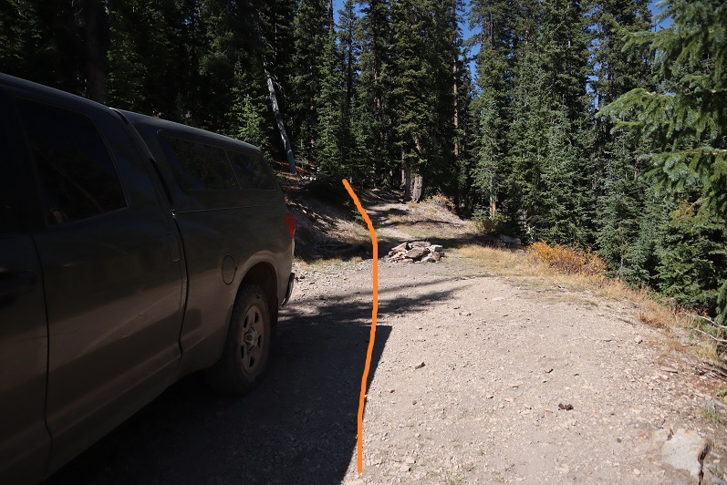
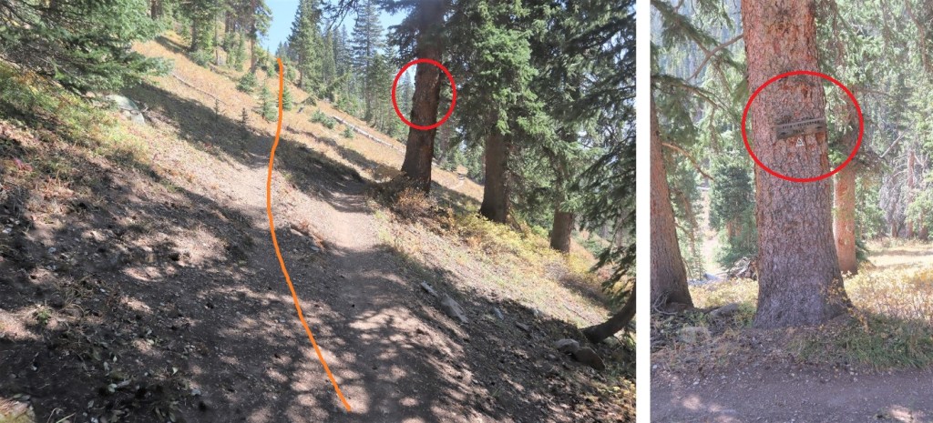
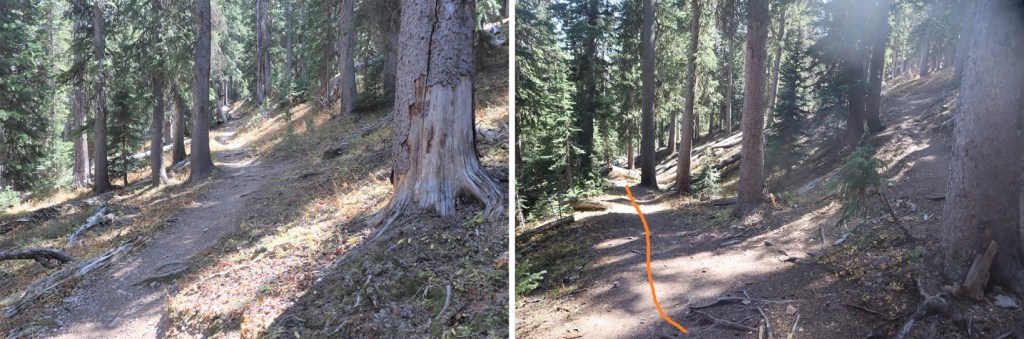
My heater was starting to make my sleeping area too warm so I shut it off and decided it was a good time to go to bed. I woke up and was on the trail at 6:30am. The trail begins just behind the campsite
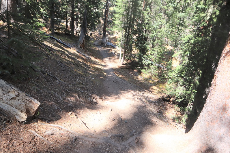
I could smell the fires and hooped the views would be better today than yesterday. Immediately I noticed flashlights shining in the distance. No way?!? I hadn’t seen another vehicle on my way in, and I was very far from any other trailhead. That’s when I remembered I was hiking on the Colorado Trail and this must be a good area to camp for the night. I followed the trail northeast as it descended down to a creek, crossed the creek, and headed east, still following the trail
I stopped here because something was rubbing against my ankle. I’ve never had to put on a band-aid while hiking before, but I thought I’d better now because my ankle would be rubbed raw if I didn’t. Yep, I still need new hiking boots.
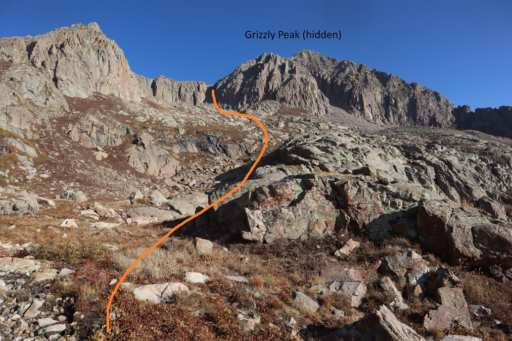
I put together a topo map for this route, and in doing so later found there were trails on the route that weren’t listed on the map. The trail I found went lower than I wanted to go, so I didn’t take it initially, but ended up being brought back to it several times, so I’m going to give you beta on the way you should take, not the way I took (which was loopy).
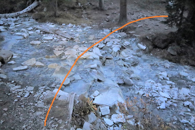
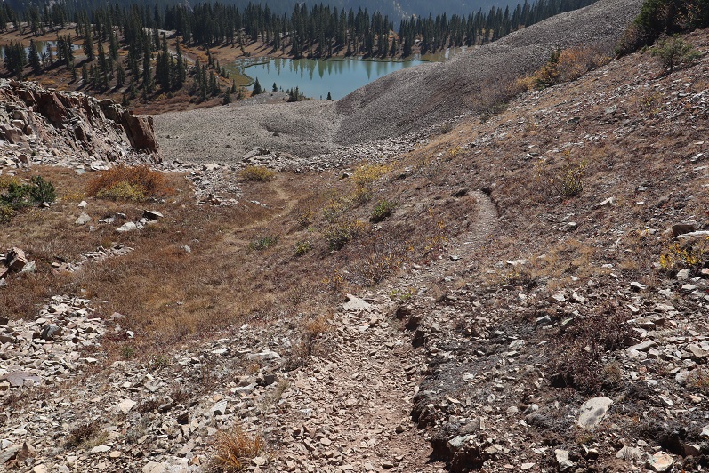
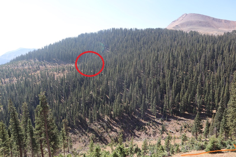
After crossing the stream, head east for .35 miles. Here there will be a faint junction, and if you look carefully, a sign to your right that says “Rico-Silverton Trail” (circled in red). Take the upper trail here and follow it until you pass an obvious pond (about 1.2 miles).

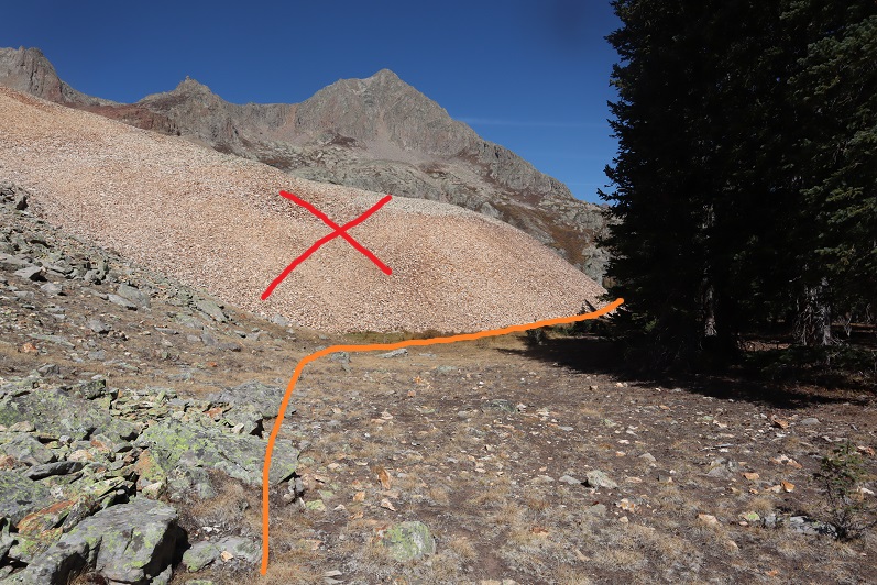
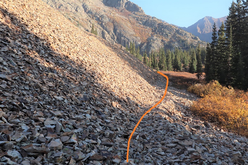
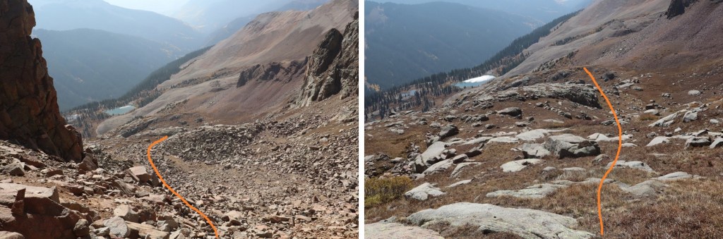
When you get here, there will be 2 trails. Do not ascend the scree! Instead, skirt the scree to your right
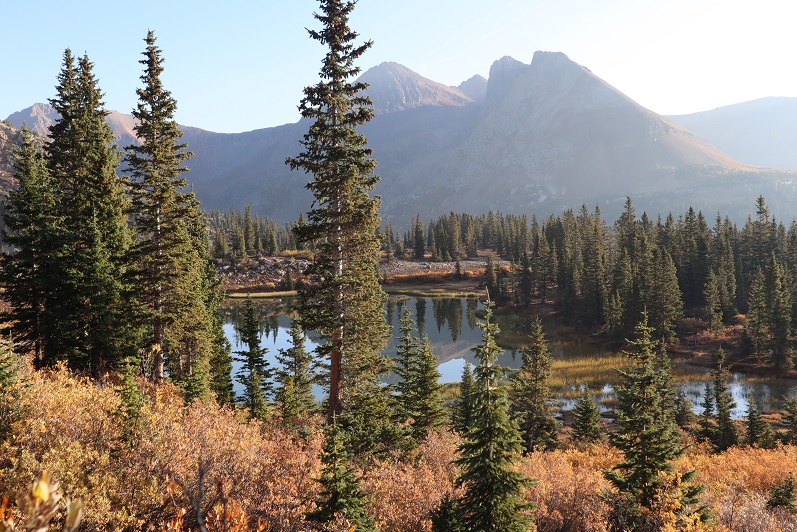
And continue following the trail as it skirts the lake to the left
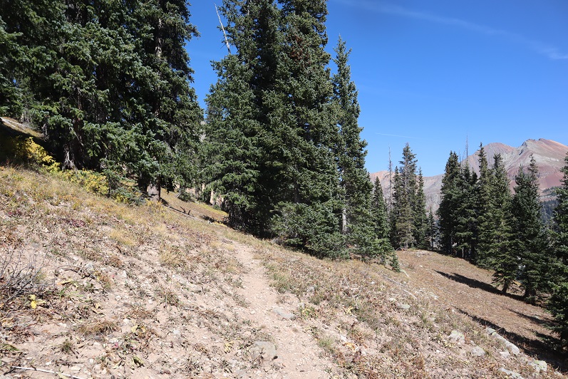
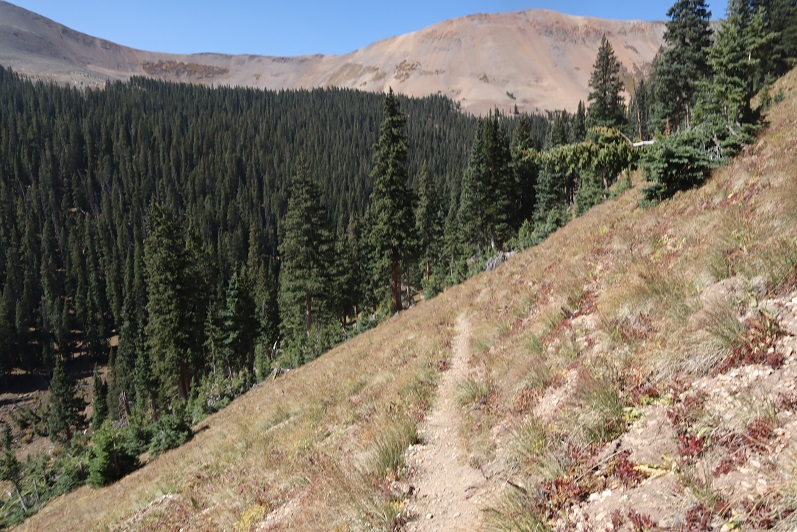
Just after the lake the trail will curve to the left. Follow the trail northeast up the basin
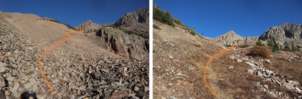
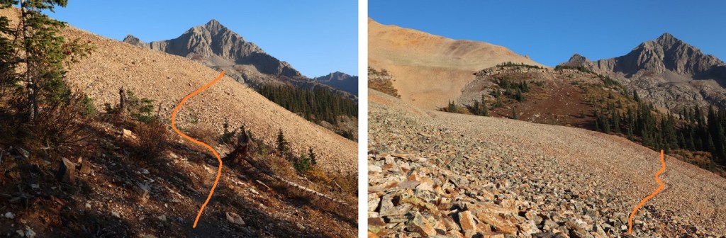
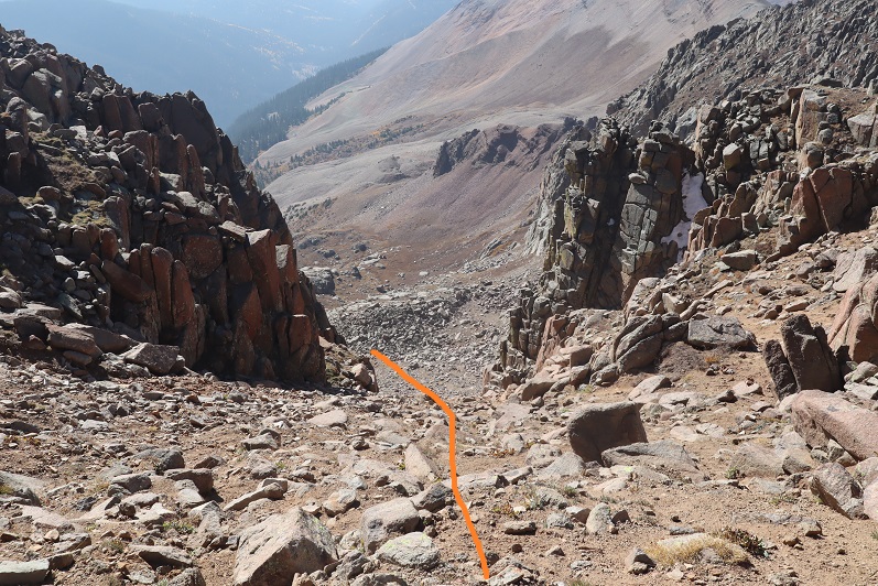
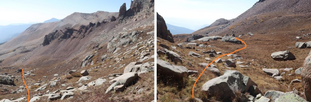
This is where the trail stopped. I wanted to ascend via the upper gully, so I followed the basin as it curved right and then left. Here’s a visual
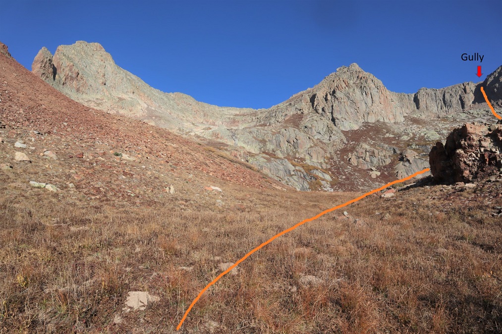
Some boulder hopping brought me to the base of the gully

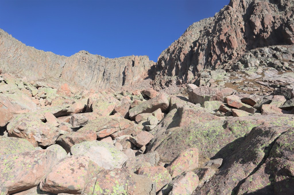
I stuck to the right to ascend the gully on rocks, and descended more to the left on the scree

As far as gullies go, this one wasn’t too bad.

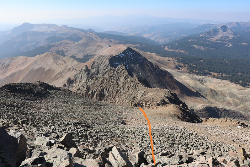
At the top of the gully I continued north
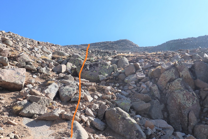

I came to an abrupt drop-off, turned right, and followed the ridge a short distance to the summit

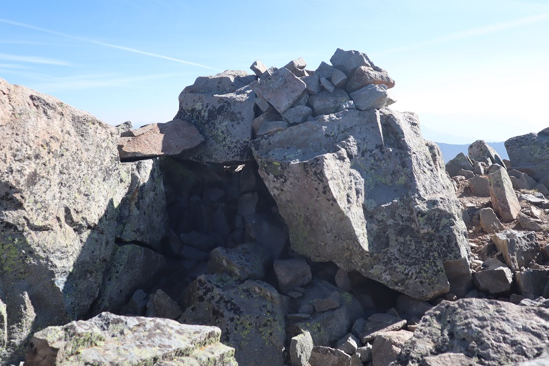
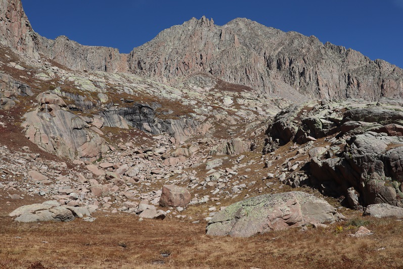
I summited Grizzly Peak at 10:10am
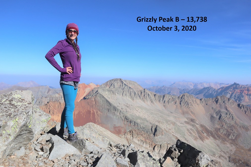
Grizzly Peak:
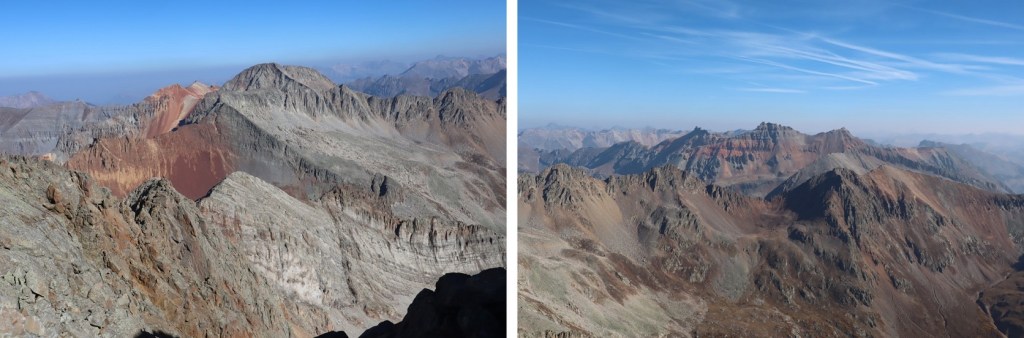
The views were amazing! Much better than my views the day before that were shrouded by haze from the fires
I headed back down the way I summited

Descended the gully
Back down the basin
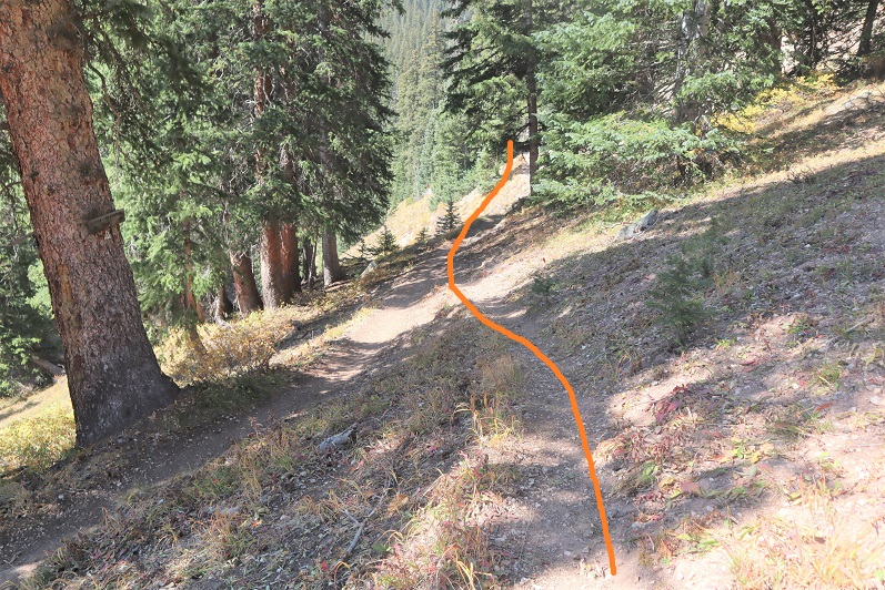
And picked up the trail

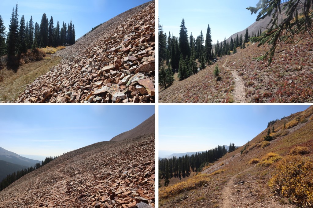
My way back to the trailhead was so much easier than the way in, as I just followed this (unnamed, unlisted) trail back to the Colorado Trail/Rico-Silverton Trail.
Just before descending back to the Colorado Trail I could see where I’d parked my truck
I rounded the mountain and started my descent to the creek
Hooked back up with the Colorado Trail
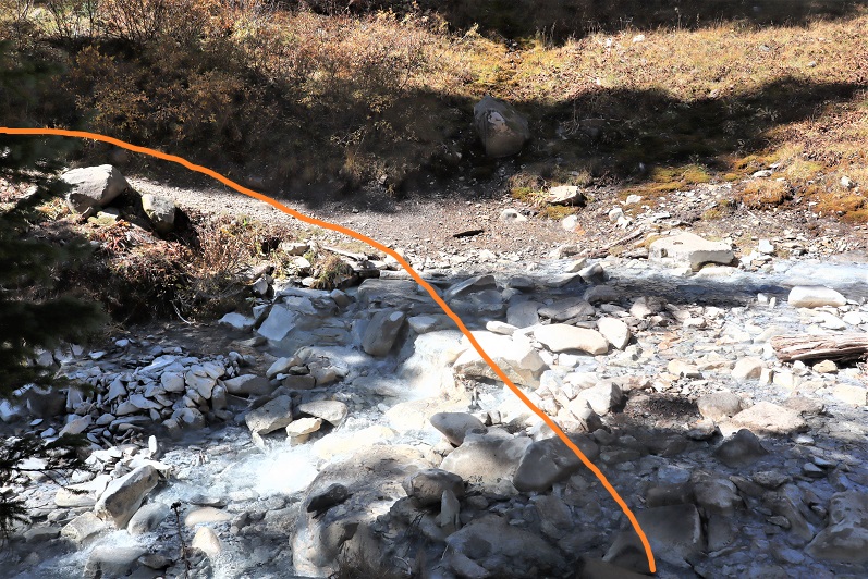
Crossed the creek
And gained some elevation as I headed back to my truck, staying left to head to the campsite when the Colorado Trail went right
And within a dozen yards or so was back at my truck. There was one other truck parked in the area (a Tacoma).

I made it back to my truck at 12:45pm, making this a 9.96 mile hike with 3543’ of elevation gain in just over 6 hours.

Even though it was a Saturday afternoon I didn’t pass another vehicle on the way down to the 2WD road, which was good because there were long stretches with no turnarounds/passing points. The leaves were beautiful! (I took this picture near the bottom once the road evened out).

Also, this is the last 4WD trailhead I need to use to get to any of the bicentennials I still need to summit! Woot! Just 10 left to go, and they’re all accessed via 2WD roads. Now about that skid plate…
