Grizzly Peak – 13,309

RT Length:  7.78 miles

Elevation Gain:  3312’

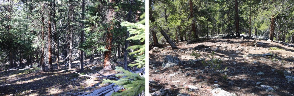
I slept the night before at Pieplant Mill so I could get an early start the next morning. The last half mile drive to the site was definitely 4WD. There were plenty of campsites along the way.  The Pieplant Mill site has several historical structures to explore… all of them are empty.

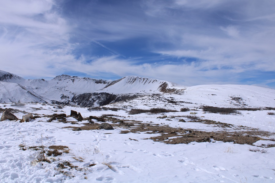
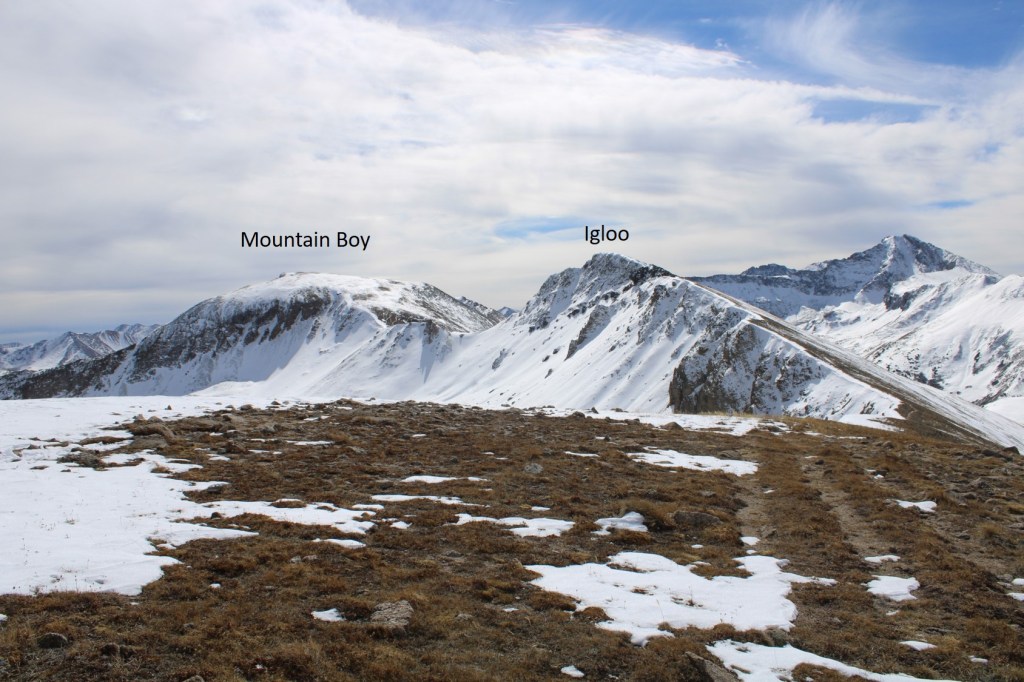
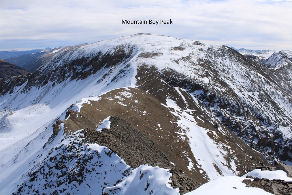
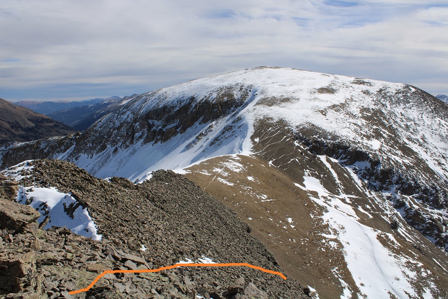
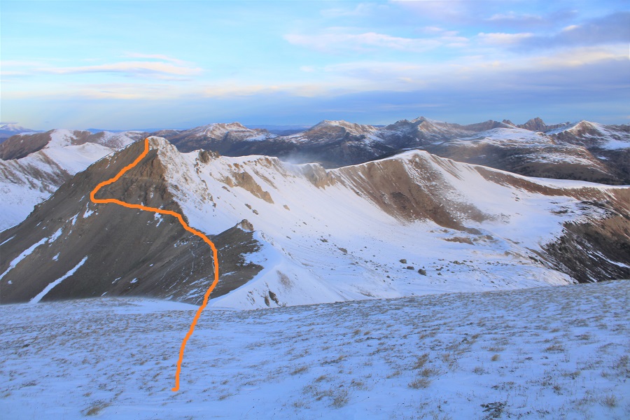
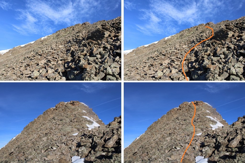
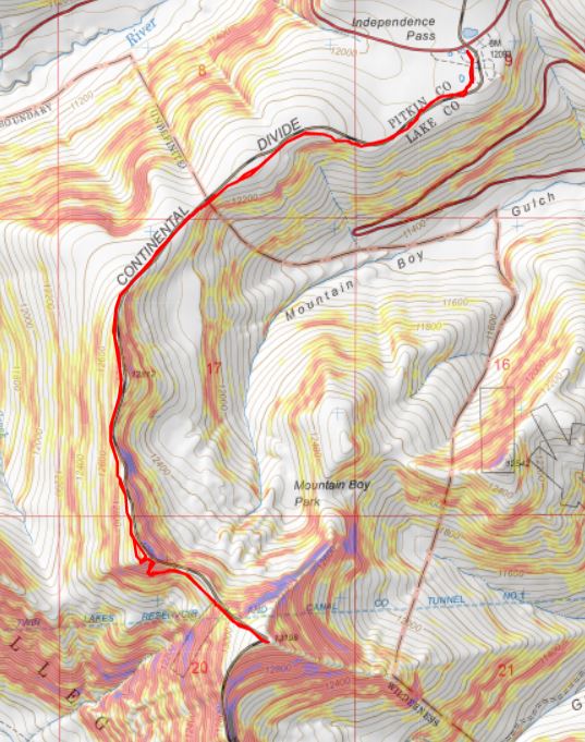
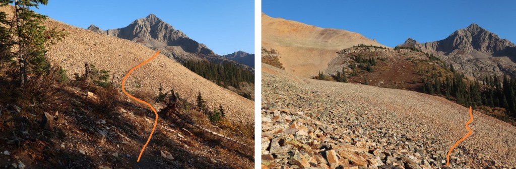
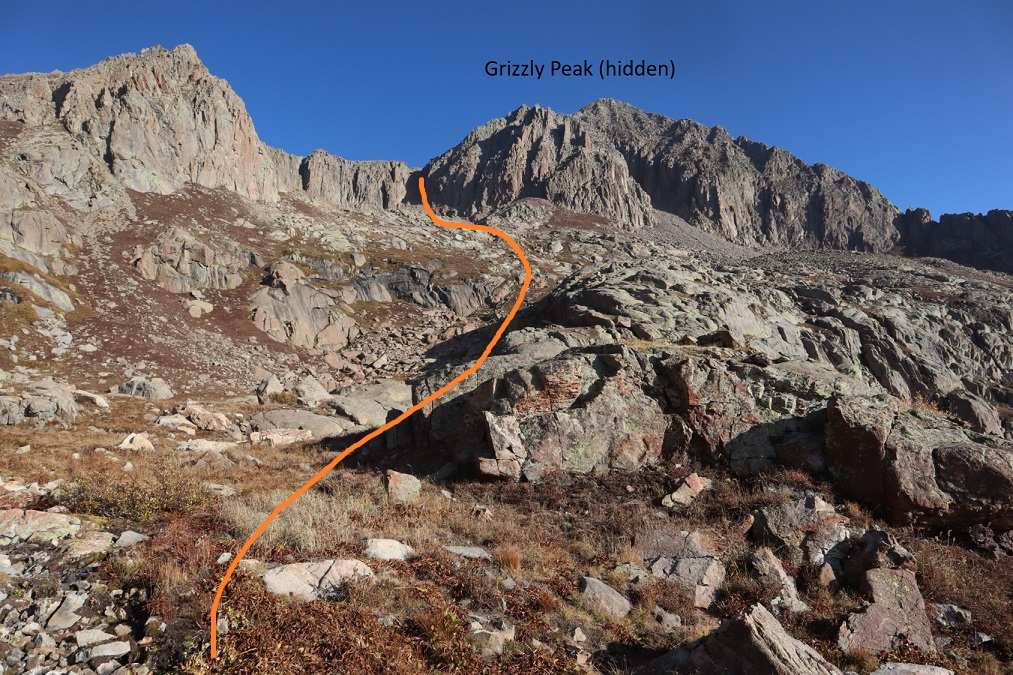
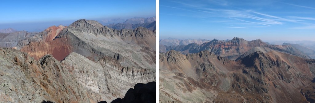
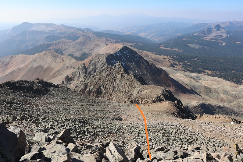
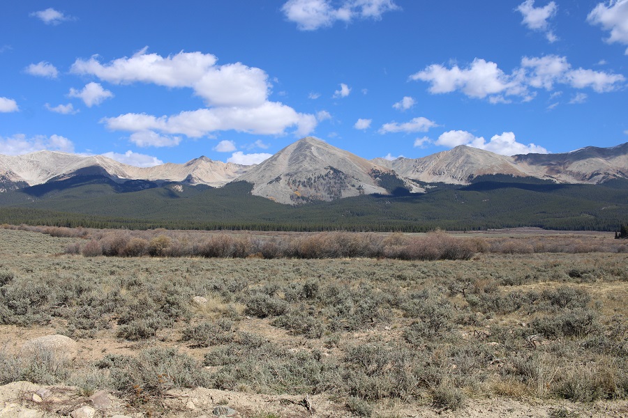
For reference, this is Grizzly Peak.  I took the solid line up, the dotted line down, and they both went at 2+.  The ridge on the left looked like it went at 2+ as well, so this is really choose your own adventure once you hit treeline to the summit.

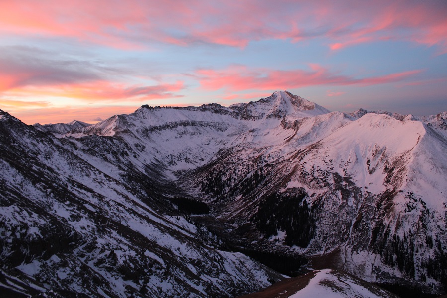
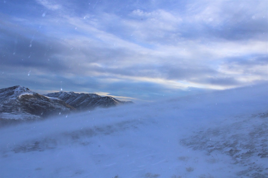
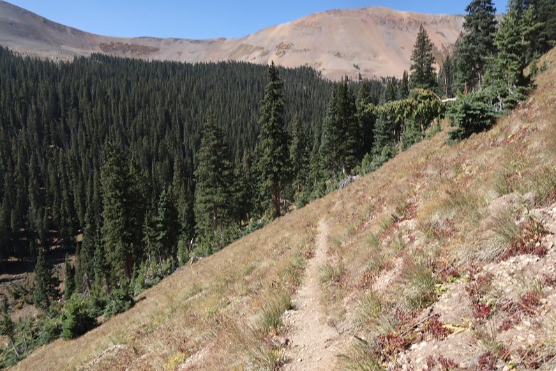
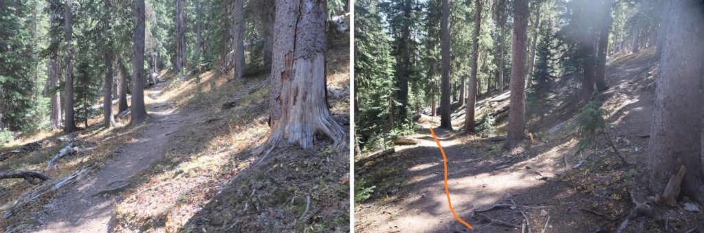
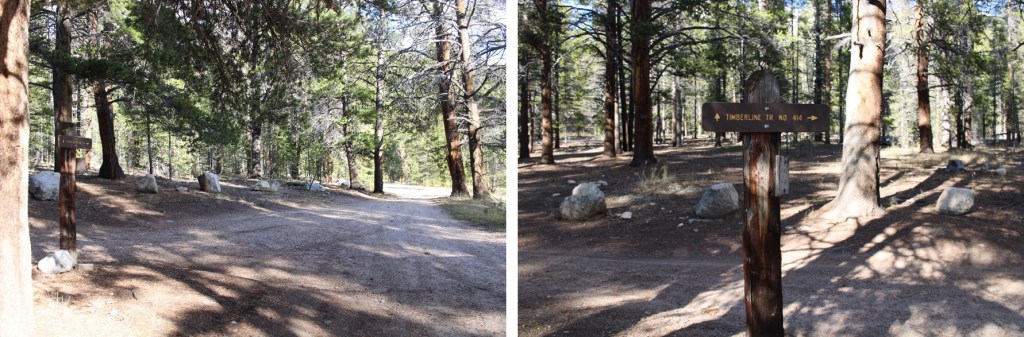
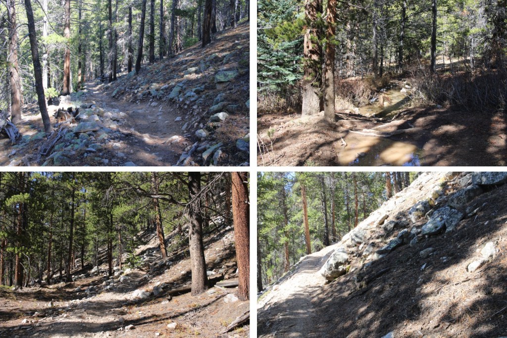
I woke up the next morning to a brisk 25 degrees outside, put on my winter gear, and was on my way.  I started by following the Timberline Trail 414 east.

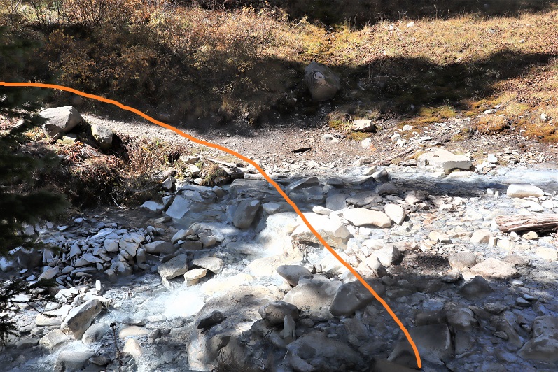
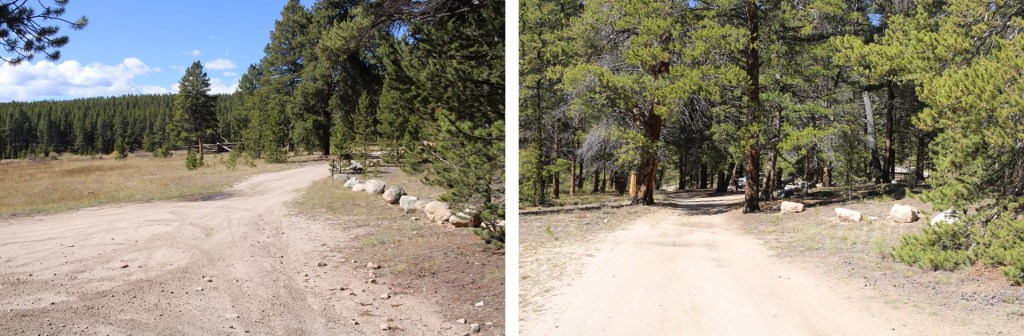
I continued through a locked gate
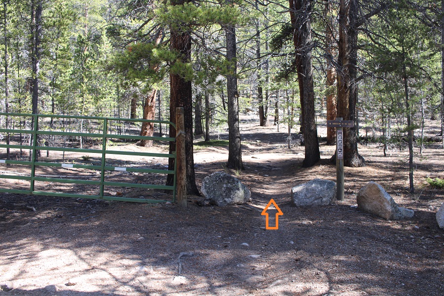
Followed the road

And eventually came to a second locked gate, with the trail continuing to the right.

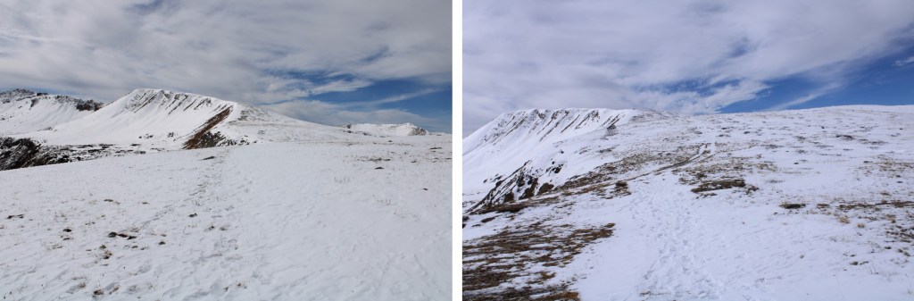
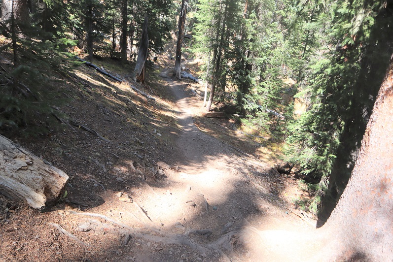
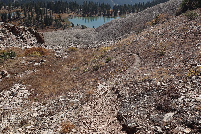
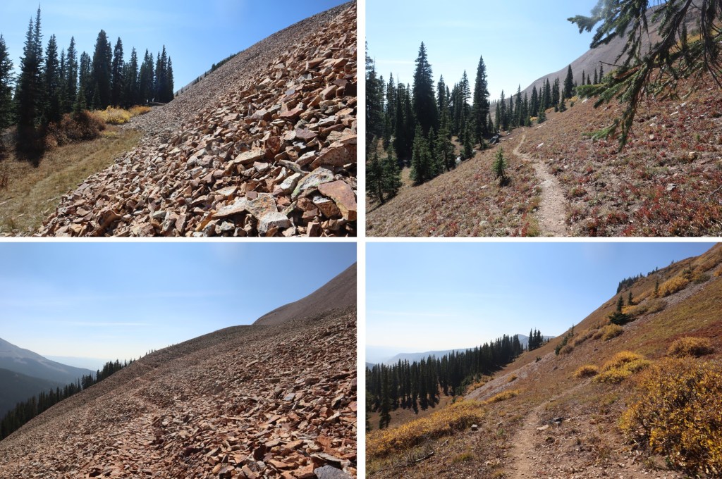
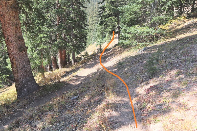
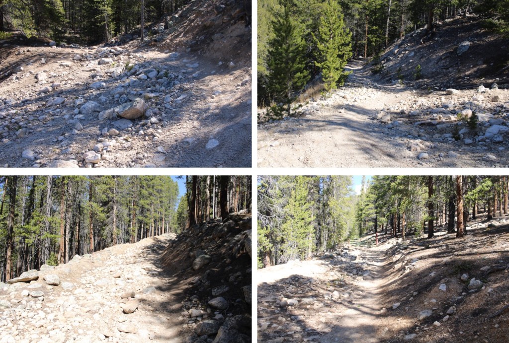
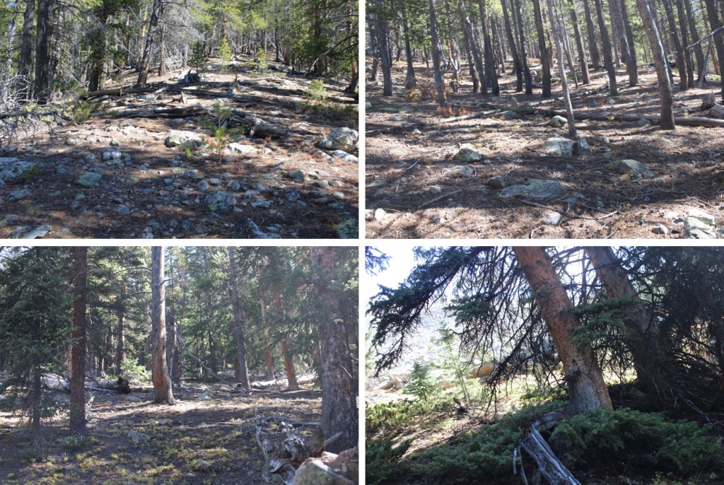
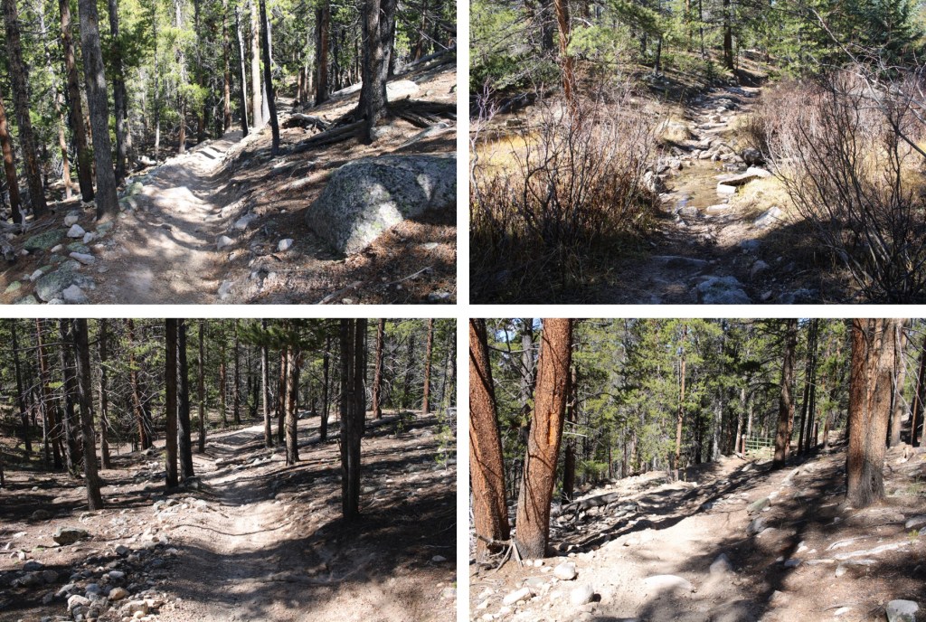
This trail was more of a bike trail, with tons of motorized bike tracks.  I followed this class 1 trail as it wove around the mountains

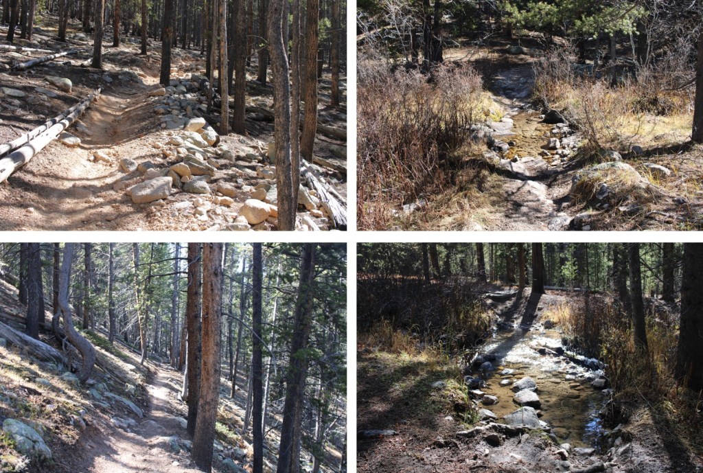
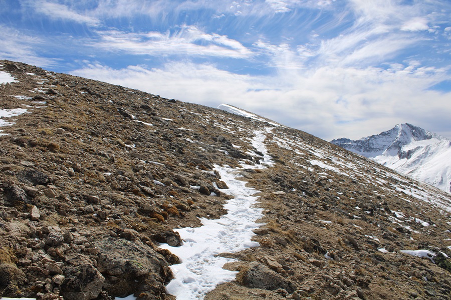
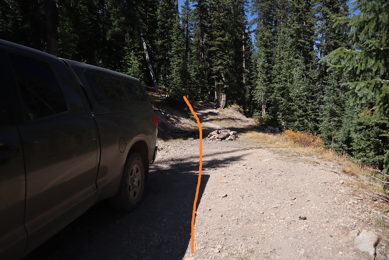
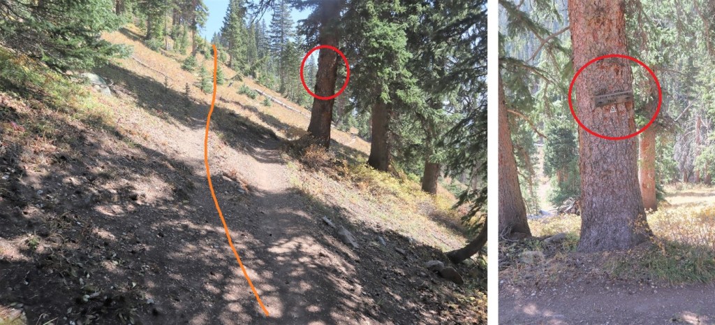
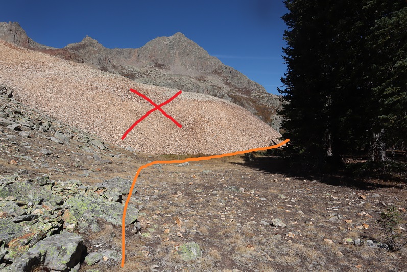
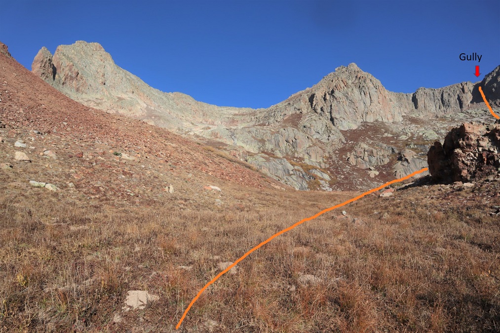
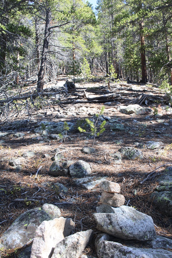
I’d been hiking for about 2.25 miles total at this point, and was at 10950 when I left the trail and headed northeast to treeline.  I placed a small cairn where I left the trail.

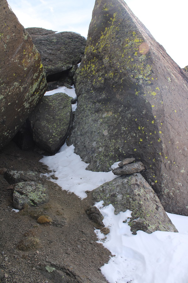
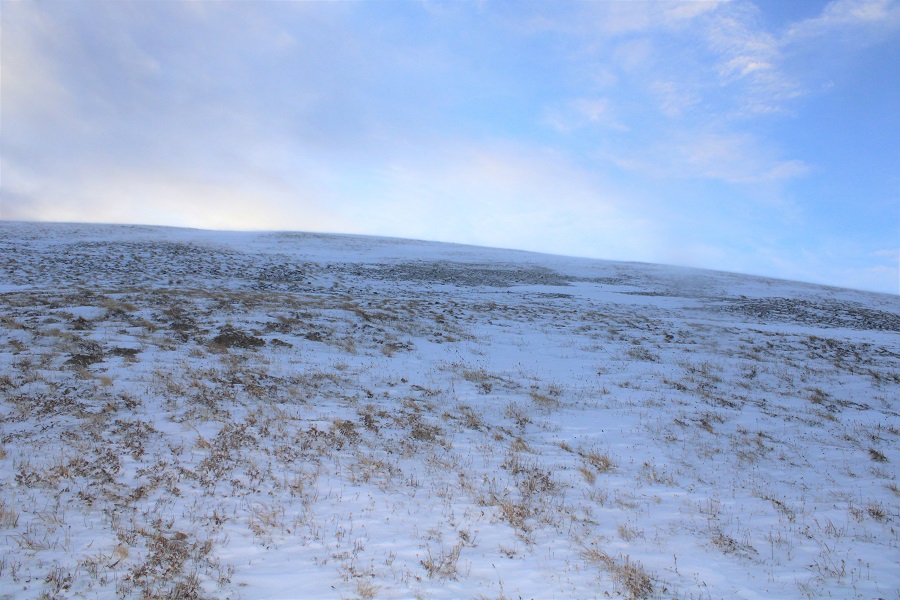
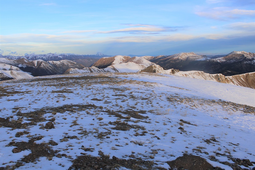
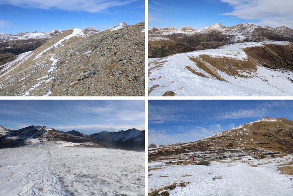
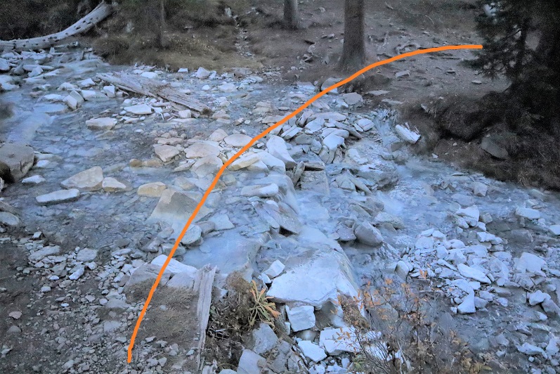
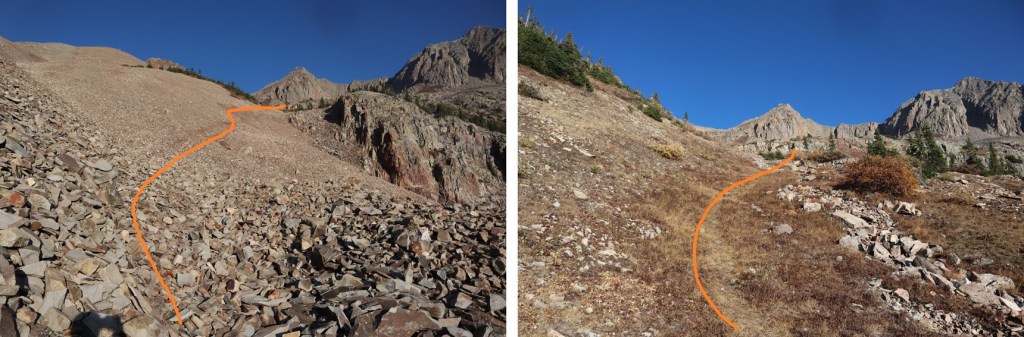
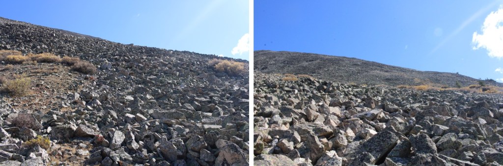
Once at treeline, I followed the rocks east.  The rocks never let up

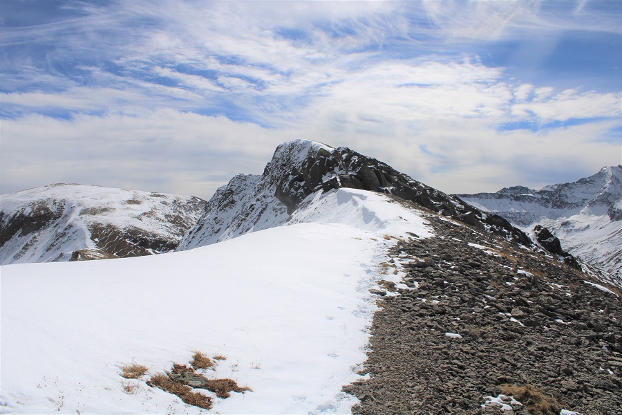
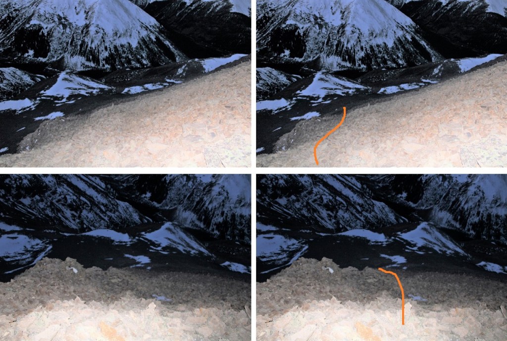
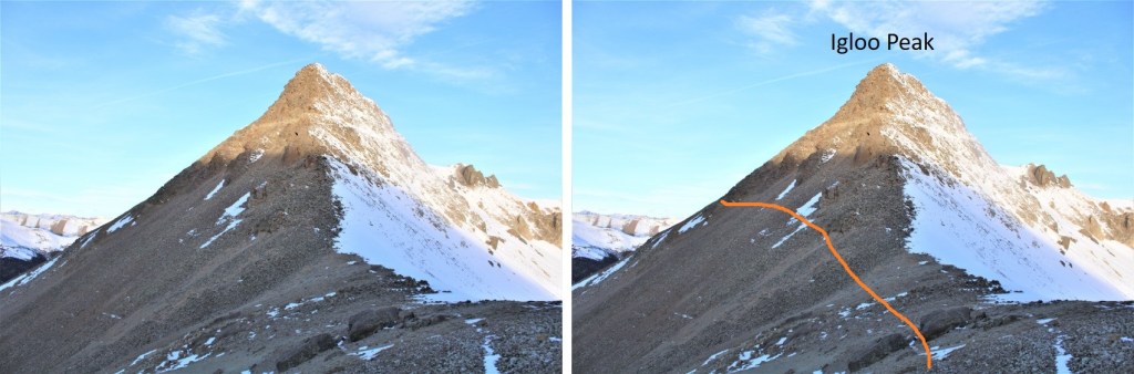
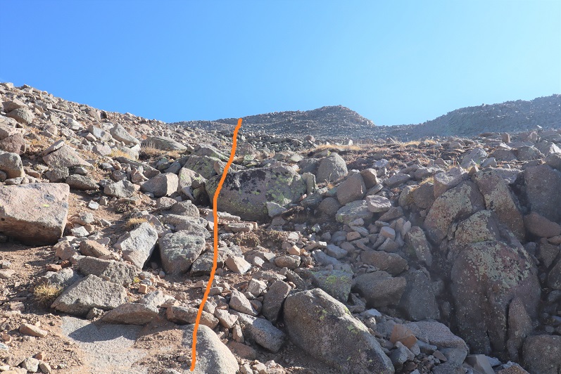
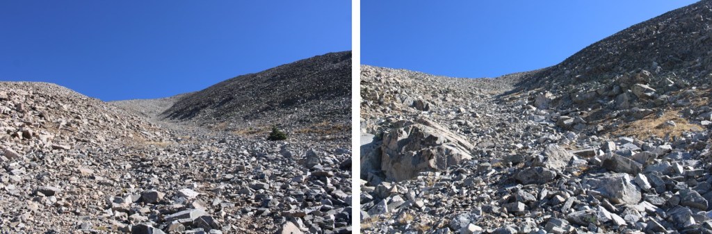
I was aiming for the ridge.  You can take either the ridge or the gully.  Both are class 2+.  I found the ridge full of large, loose rocks, and the gully full of scree.  Both seemed to go on forever.

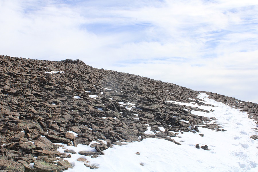
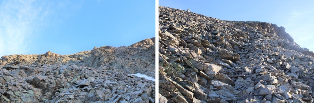
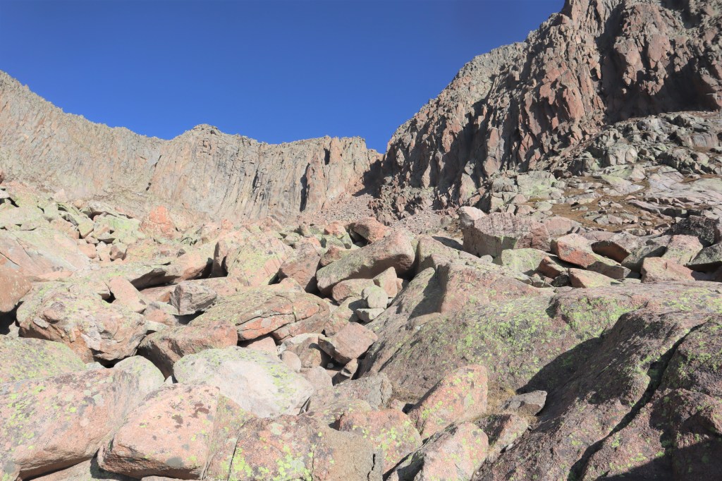
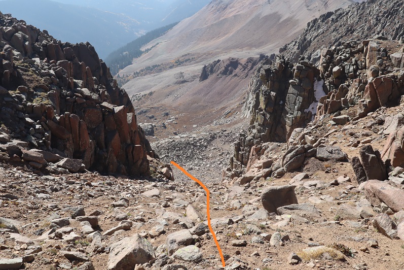
Here are some pictures of the gully going up

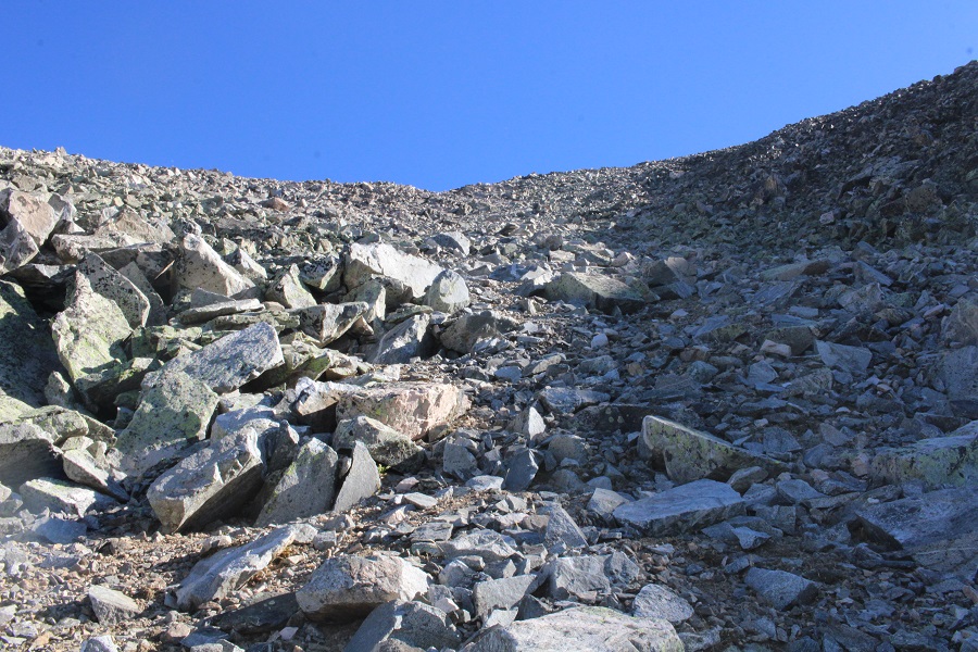
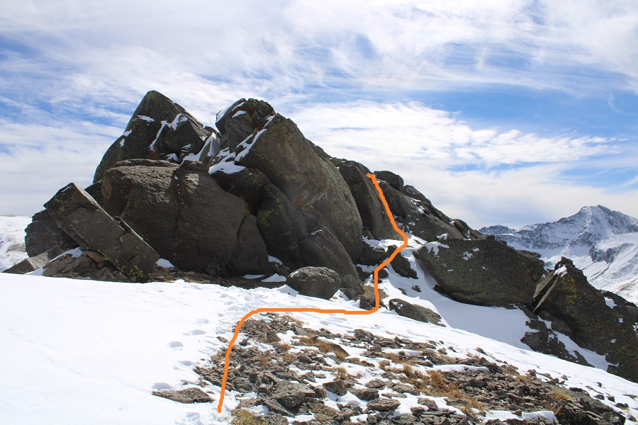
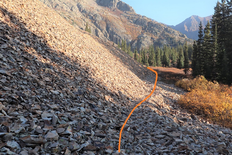
And the way I took up: the rocky ridge

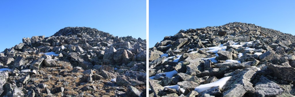
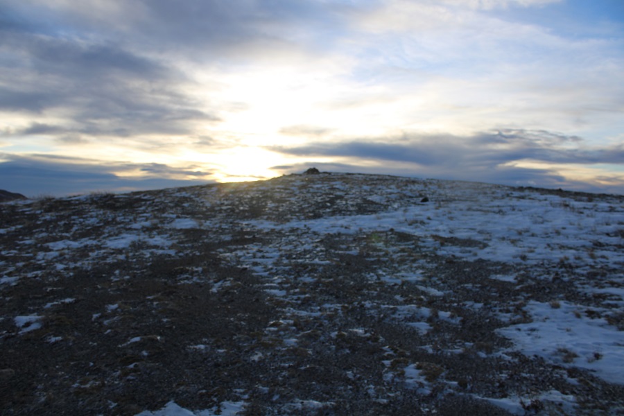
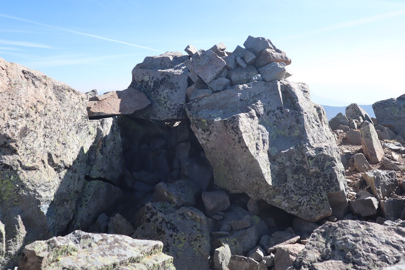
Here’s the last bit to the summit (both the ridge and gully obviously end at the same spot)

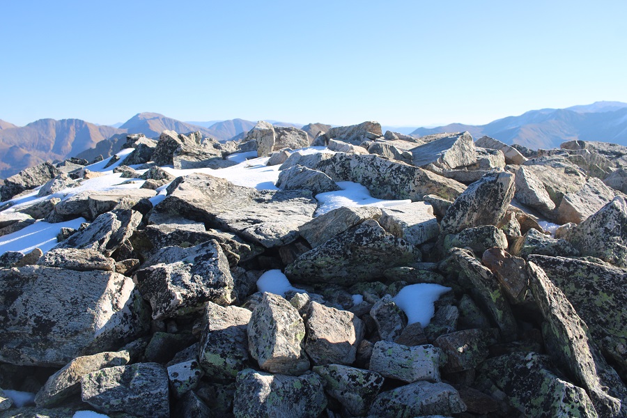
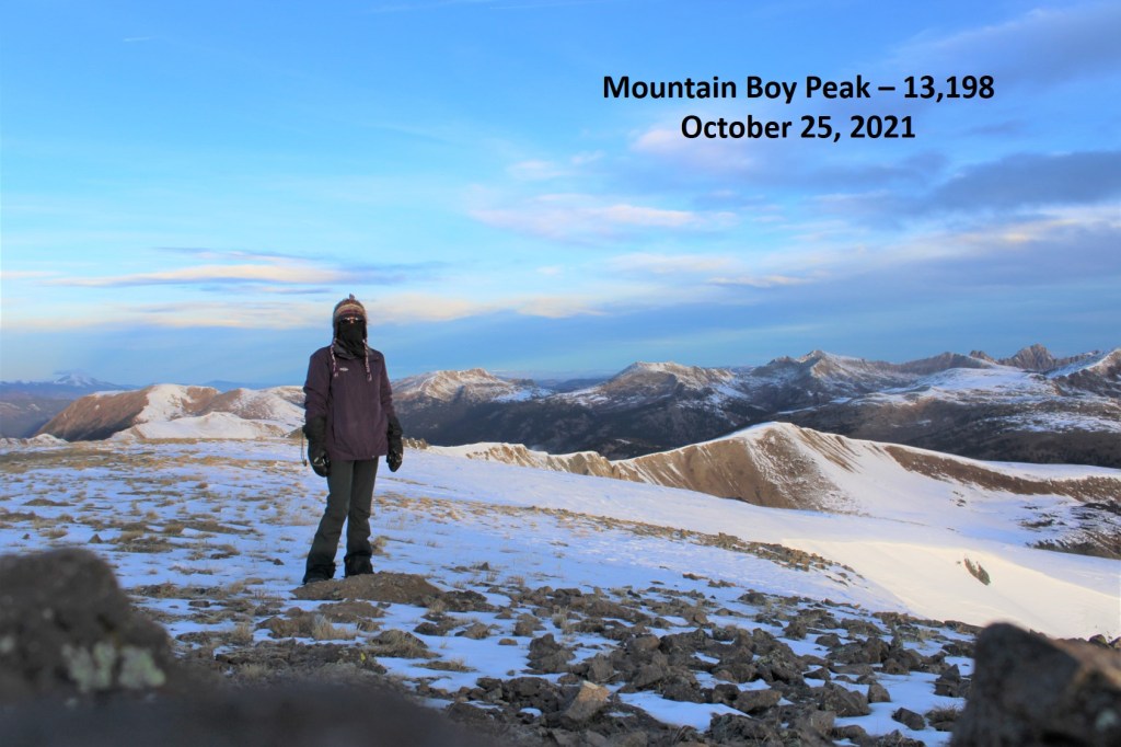
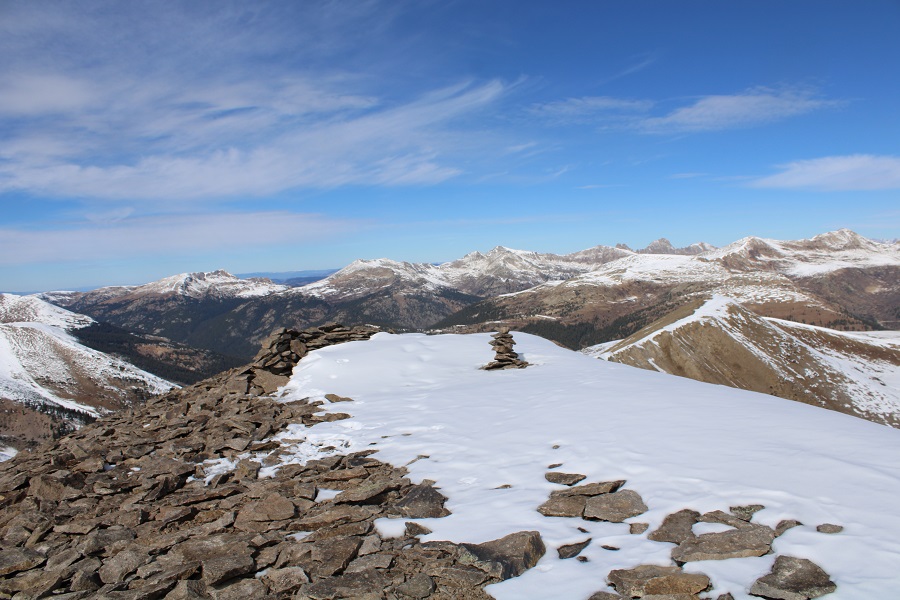
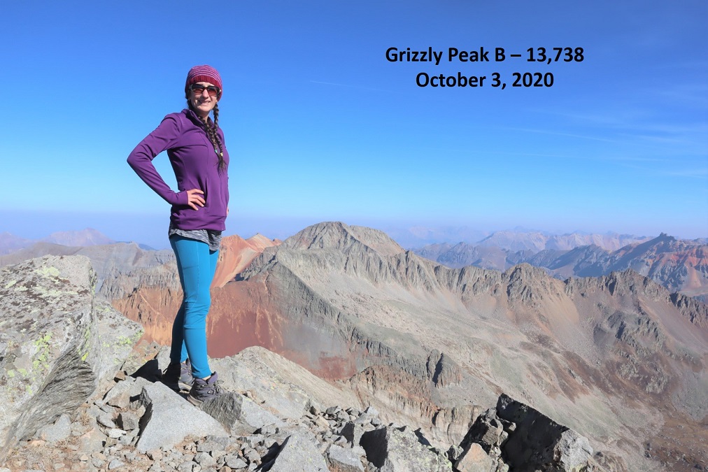
I summited Grizzly Peak at 9:15am
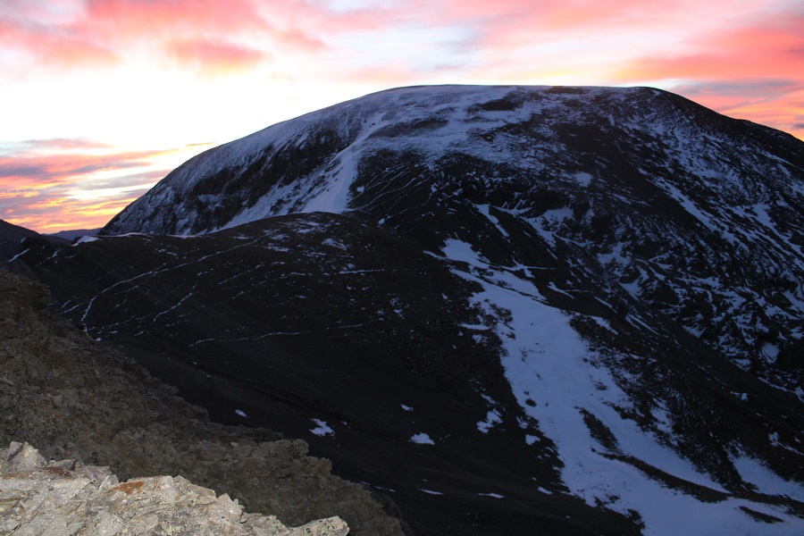
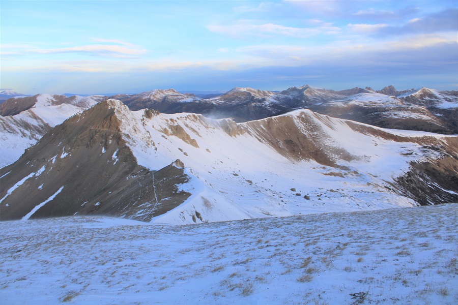
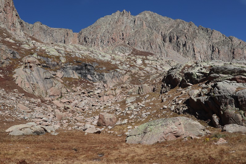
Grizzly Peak:

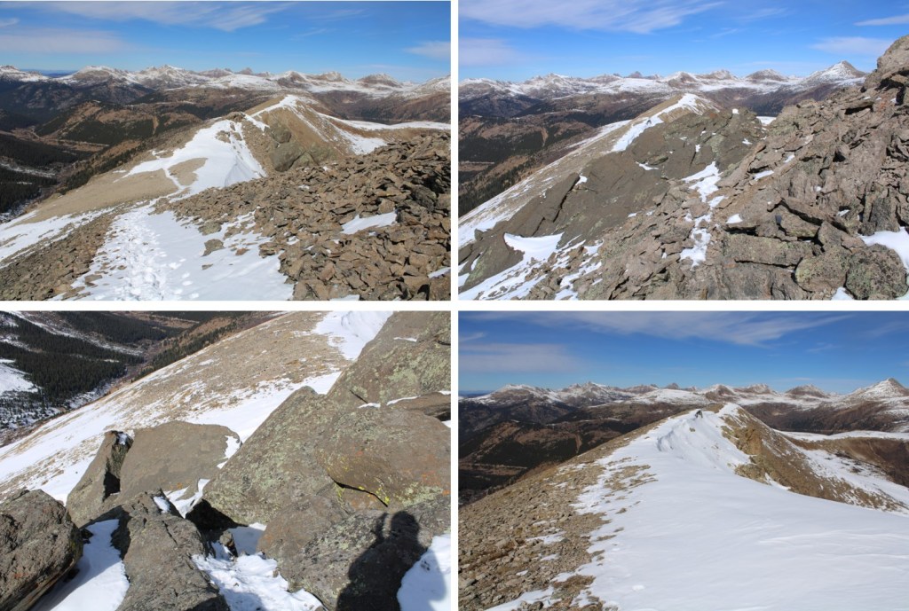
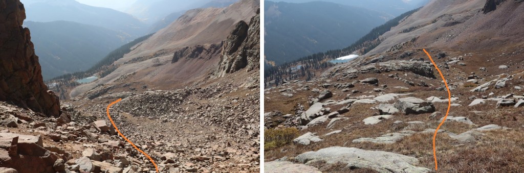
Now to head back down the gully.  I followed it southwest.  The route was obvious.

At the base of the gully I aimed for treeline

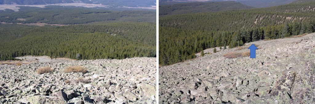
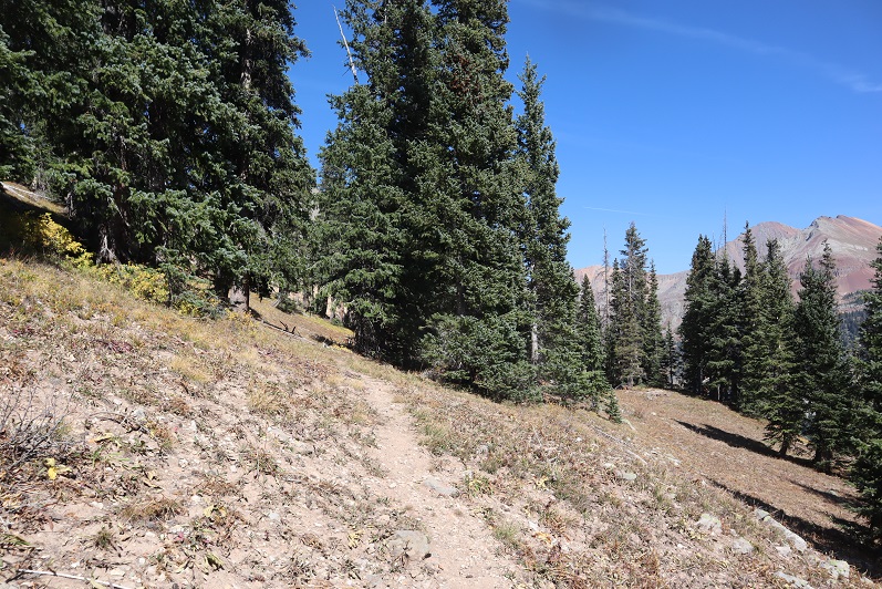
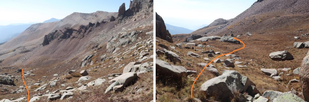
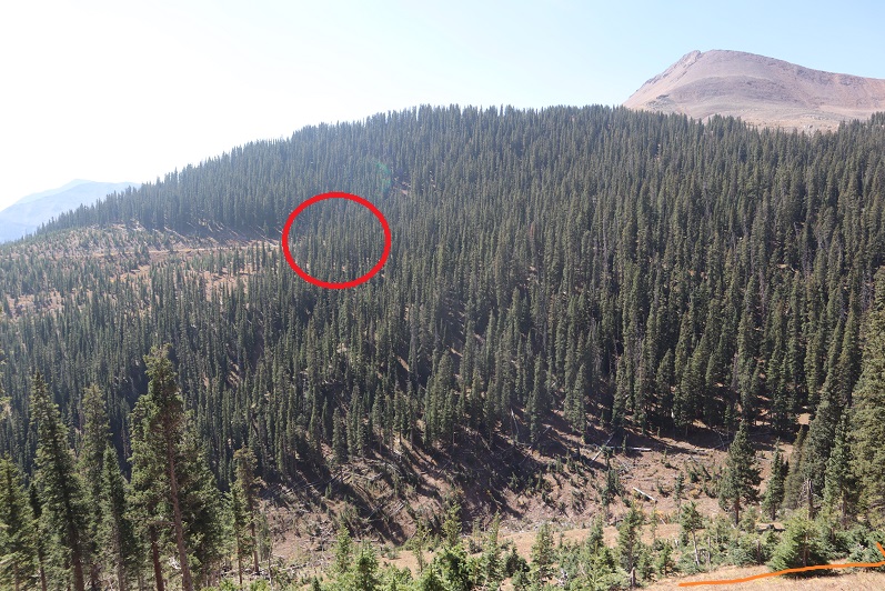
Once at treeline, I headed southwest back to Timberline Trail 414.  As long as you keep heading southwest, you’ll come across this trail.

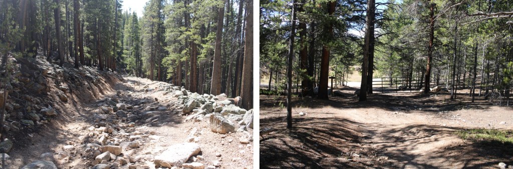
Now back on the class 1 trail, I followed it as it curved northwest, back to the road

Once at the road I turned left, and followed it back to Pieplant Mill

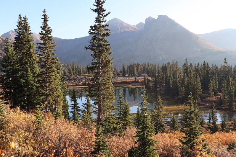
One of the best parts about the hike was I didn’t see another person the entire time I was there, and the weather was absolutely beautiful (if cold).   I made it back to my truck at noon, making this a 7.78 mile hike with 3312’ of elevation gain in 6 hours.  The ridge really took quite a bit of time to navigate.

On to the next trailhead!

Mountain Boy Peak – 13,198 & Igloo Peak – 13060

RT Length: 6.78 miles

Elevation Gain: 2151’

I wanted to get in one last peak before Interdependence Pass closes for the year.  I was supposed to hike this peak o Tuesday, but weather was coming in, so I changed my plans and hiked it Monday morning instead. 

I made it to Independence Pass and was on the trail by 5:30am.  Side note:  I was here October 25th, and the bathrooms were closed for the winter.

Obviously, mine was the only vehicle in the parking lot that early in the morning. The trail is obvious, and starts by heading south on a paved trail.

I’ve never been in this area in summer conditions, so I’m not really sure when the trail becomes a trail and no longer paved, but I know I was off pavement pretty quickly, heading west.  This morning, before making it to Igloo Peak, snowshoes were needed some of the time, overkill most of the time.

Here’s an overall view of the route to the ridge

I headed towards the ridge, following an obvious route, which I am sure is class 1 in the summer.

As you can see from the pictures… obvious route.  If it’s not obvious when you’re here, follow the contour of the ridge.  It’s all tundra.

The route becomes briefly class 2 here

This is very easy to navigate

And then it’s back on a class 1 trail again

If you stay on the trail, the summit will be obvious

Here’s Mountain Boy from Igloo

From the summit of Igloo Peak, the trail towards Mountain Boy immediately gets fun.  It’s class 2 from here on out, with one brief class 3 move (or two… it’s a chimney).  Now is a good time to put on your microspikes.  I continued southeast, heading down this briefly class 3 chimney

The rock will be loose until you make it to the saddle. 

In order to get to the saddle, I headed straight south, down these scree/loose-rock filled gullies

The sun was just starting to rise at this point.  Alpine sunrises are the best!

Since the sun was still rising, my view wasn’t that great.  Here’s what I saw as I was descending, following the contour of the drainages.  This is choose your own adventure, but it’ll be obvious when the drainages end.  Don’t descend too early.

It’ll also be obvious when it’s time to head towards the saddle.  There seem to be several social/game trails here.  I chose to stay high, about level with the saddle, and didn’t regret it.

Once at the saddle, there were still a ton of social/game trails.  I chose the one closest to the ridge.  From the saddle, it was an easy hike to the summit of Mountain Boy Peak on scree/tundra

Easy, except for today’s wind!!!  It was relentless, and difficult to catch I pictures/on video at its worst.  This doesn’t begin to describe the gusts

Wind on Mountain Boy: 

The summit is obvious, marked by a cairn

I summited Mountain Boy Peak at 7:45am.

Mountain Boy Peak:

The views of Grizzly Peak were stunning!

I turned and retraced my steps back to the Mountain Boy/Igloo saddle

Here’s the route I took back to Igloo, which is the same route I took down.  Microspikes are helpful here, as it’s kitty litter in some areas.

Here are some close-up pictures of the route back up to Igloo

And back up those scree/rock gullies

And up that quick chimney to the peak

I re-summited Igloo Peak at 8:25am

Igloo Peak:

The trek was easy back to the trailhead in the daylight

I made it back to my truck at 9:15am, making this a 6.78 mile hike with 2151’ in elevation gain in 3 hours, 45 minutes

Side note:  I didn’t have my microspikes.  Well, I did, but they fell out of my pack when I took off my snowshoes, and I didn’t realize this until they were needed.  So, when I went to find my microspikes, just before the kitty litter area on the south side of Igloo Peak, they weren’t in my pack.  But I really could have used them!  Especially on the snowy ascent/decent of Mountain Boy Peak. The kitty litter areas were so much more difficult than they needed to be without spikes as well.  I cursed myself the entire time, thinking I’d lost them for good and vowing to buy new ones on my way home as soon as I got cell service.  The reason my track shows movement near Igloo Peak is because, on my way back I realized when I must have lost them and went looking for them.  I found my microspikes, along with a whiskey flask I hadn’t realized I’d lost, just before the summit of Igloo Peak.  From now on, they’re going INSIDE my pack, not in the cup holder of my backpack (I know, I know, not the best decision).

Grizzly Peak B – 13,753

RT Length: 9.96 miles

Elevation Gain: 3543’

I drove in from Kite Lake after hiking some 13ers in the area.  It took me about 2 hours to drive to Silverton, 40 minutes to drive to Purgatory, and another hour and a half to drive to the end of Forest Service Road 579.  This is an easy 4WD road, but there are few spots to turn around.  I was getting seriously worried about my trip out tomorrow until I (finally) made it to the end of the road.  The road abruptly ends at a campsite, which was good news to me, as that meant there should be fewer chances to pass other drivers on the way out because the road doesn’t really ‘go’ anywhere.  Mine was the only vehicle at the trailhead.

It was 10:30pm when I made it to the campsite, and I should have been exhausted after hiking/driving all day without sleep the night before, but I wasn’t.  I was cold however.  I turned on my heater and jotted down some notes in my journal while sipping on some whiskey.  I played a few games on my phone and looked over my topo map for the next day.  I hadn’t found a lot of good information on this peak, so I’d planned a route myself and I was trying to memorize it so I wouldn’t need to break out my map too often tomorrow.  As I sat there, I was reminded of something someone had said to me a few days before: “Don’t you ever relax?”  Yes, yes I do.  This was relaxing. 

My heater was starting to make my sleeping area too warm so I shut it off and decided it was a good time to go to bed.  I woke up and was on the trail at 6:30am.  The trail begins just behind the campsite

I could smell the fires and hooped the views would be better today than yesterday.  Immediately I noticed flashlights shining in the distance.  No way?!?  I hadn’t seen another vehicle on my way in, and I was very far from any other trailhead.  That’s when I remembered I was hiking on the Colorado Trail and this must be a good area to camp for the night.  I followed the trail northeast as it descended down to a creek, crossed the creek, and headed east, still following the trail

I stopped here because something was rubbing against my ankle.  I’ve never had to put on a band-aid while hiking before, but I thought I’d better now because my ankle would be rubbed raw if I didn’t.  Yep, I still need new hiking boots. 

I put together a topo map for this route, and in doing so later found there were trails on the route that weren’t listed on the map.  The trail I found went lower than I wanted to go, so I didn’t take it initially, but ended up being brought back to it several times, so I’m going to give you beta on the way you should take, not the way I took (which was loopy). 

After crossing the stream, head east for .35 miles. Here there will be a faint junction, and if you look carefully, a sign to your right that says “Rico-Silverton Trail” (circled in red).  Take the upper trail here and follow it until you pass an obvious pond (about 1.2 miles). 

When you get here, there will be 2 trails.  Do not ascend the scree!  Instead, skirt the scree to your right

And continue following the trail as it skirts the lake to the left

Just after the lake the trail will curve to the left.  Follow the trail northeast up the basin

This is where the trail stopped.  I wanted to ascend via the upper gully, so I followed the basin as it curved right and then left.  Here’s a visual

Some boulder hopping brought me to the base of the gully

I stuck to the right to ascend the gully on rocks, and descended more to the left on the scree

As far as gullies go, this one wasn’t too bad.

At the top of the gully I continued north

I came to an abrupt drop-off, turned right, and followed the ridge a short distance to the summit

I summited Grizzly Peak at 10:10am

Grizzly Peak: 

The views were amazing!  Much better than my views the day before that were shrouded by haze from the fires

I headed back down the way I summited

Descended the gully

Back down the basin

And picked up the trail

My way back to the trailhead was so much easier than the way in, as I just followed this (unnamed, unlisted) trail back to the Colorado Trail/Rico-Silverton Trail. 

Just before descending back to the Colorado Trail I could see where I’d parked my truck

I rounded the mountain and started my descent to the creek

Hooked back up with the Colorado Trail

Crossed the creek

And gained some elevation as I headed back to my truck, staying left to head to the campsite when the Colorado Trail went right

And within a dozen yards or so was back at my truck.  There was one other truck parked in the area (a Tacoma).

I made it back to my truck at 12:45pm, making this a 9.96 mile hike with 3543’ of elevation gain in just over 6 hours.

Even though it was a Saturday afternoon I didn’t pass another vehicle on the way down to the 2WD road, which was good because there were long stretches with no turnarounds/passing points.  The leaves were beautiful!  (I took this picture near the bottom once the road evened out).

Also, this is the last 4WD trailhead I need to use to get to any of the bicentennials I still need to summit!  Woot!  Just 10 left to go, and they’re all accessed via 2WD roads.  Now about that skid plate…